Saturday December 16, 18.5km/11.5mi
Roy’s Motel and Cafe (682.0/640ft) to Mojave Trails National Monument (693.5/680ft) (CA)
We slept in later, knowing the store didn’t open until 8am. I packed up my tent and walked back to the store, arriving a few minutes after they opened.
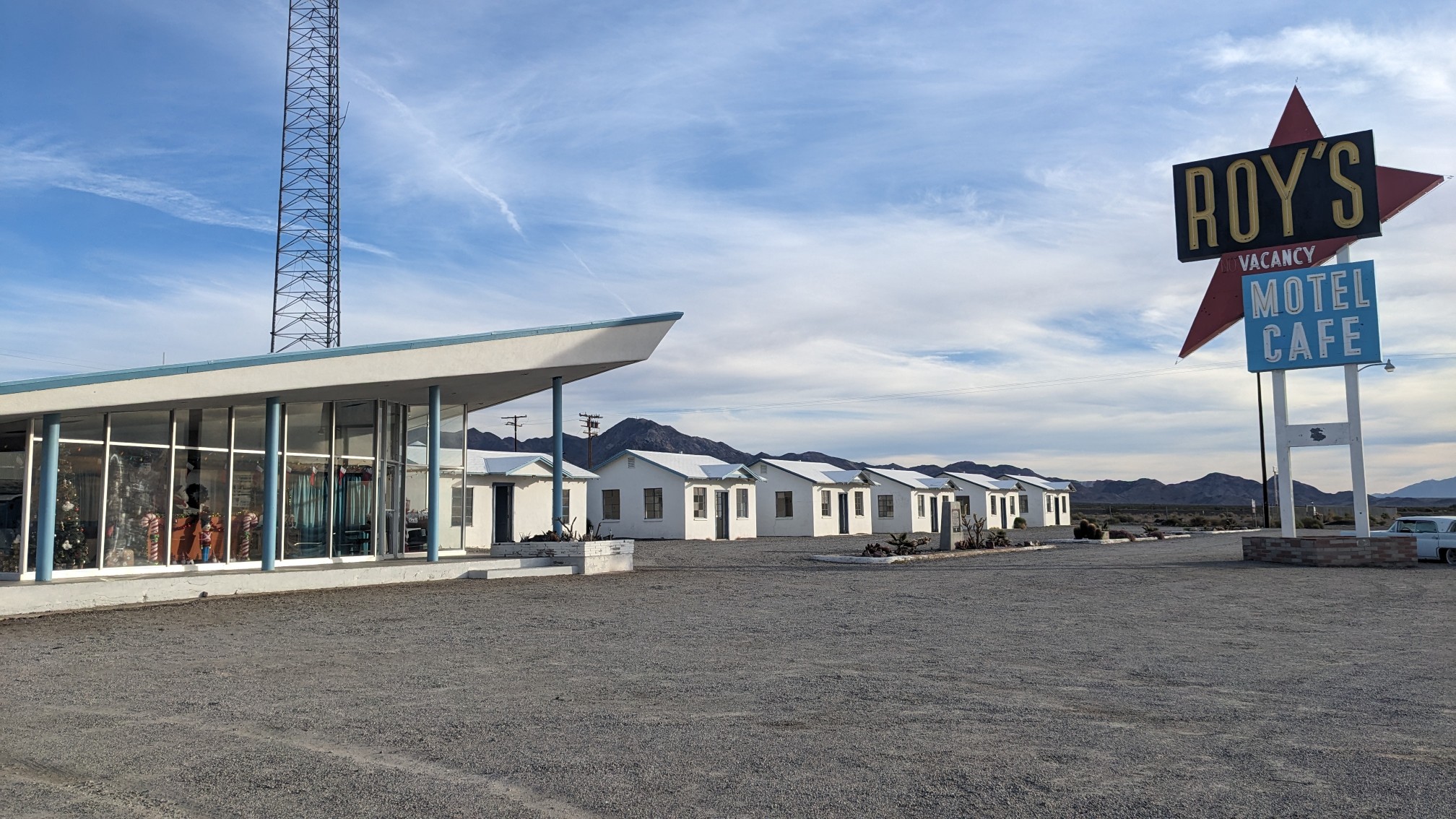
The premises had a bunch of touristy and Route-66 themed stuff.
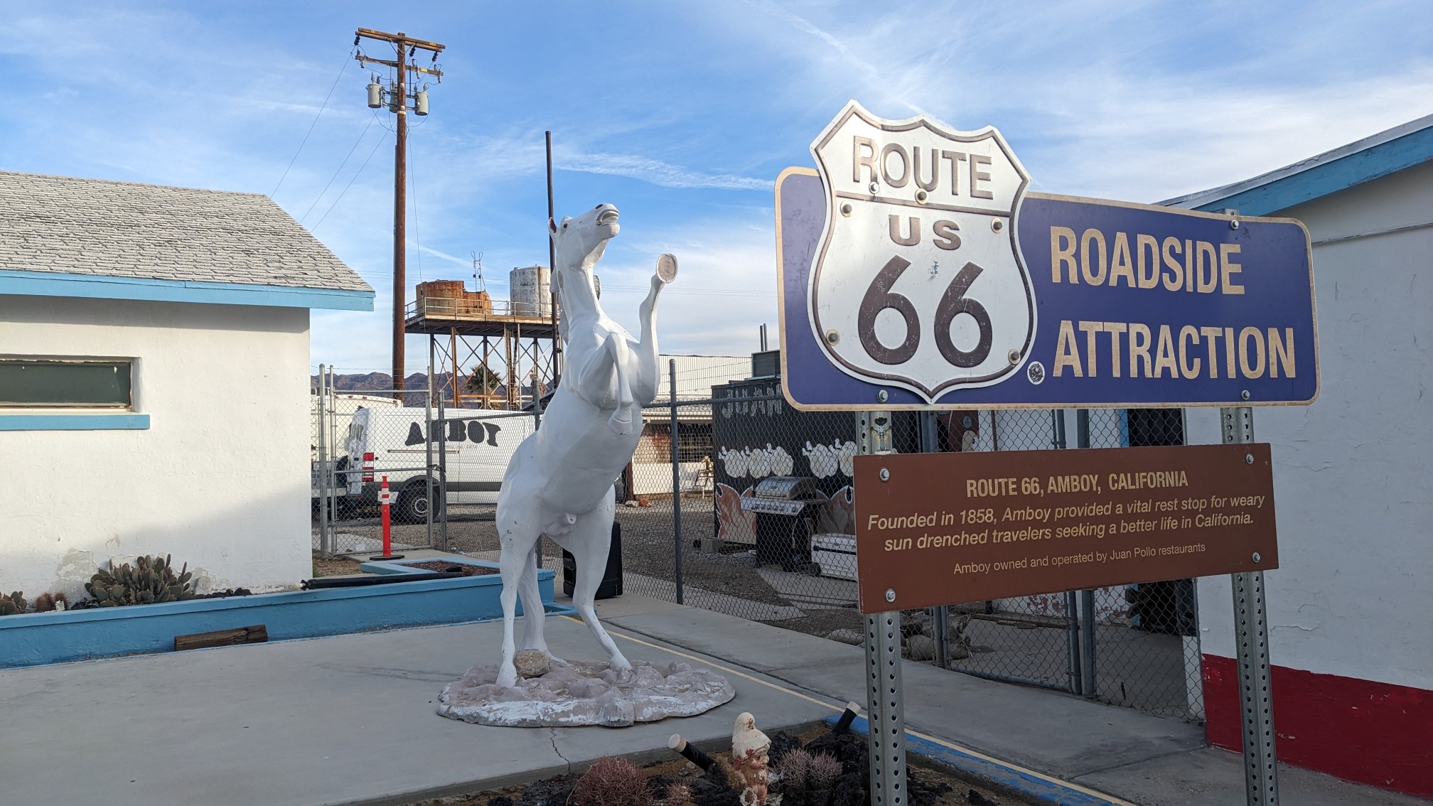
The inside felt cozy, and the manager, Nicole, had decorated it for Christmas.
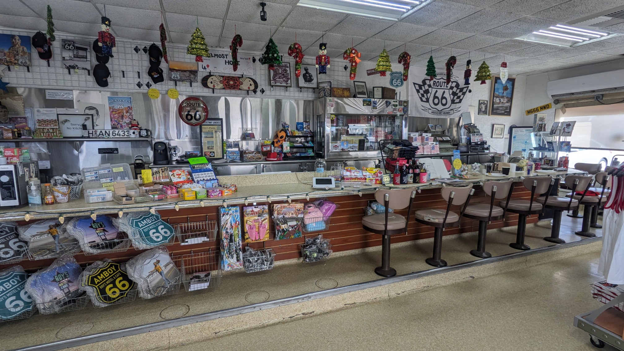
And the store had plenty of snacks and frozen microwaveable food to keep us fed!
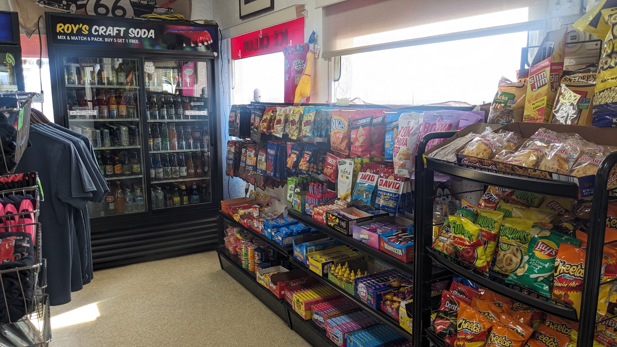
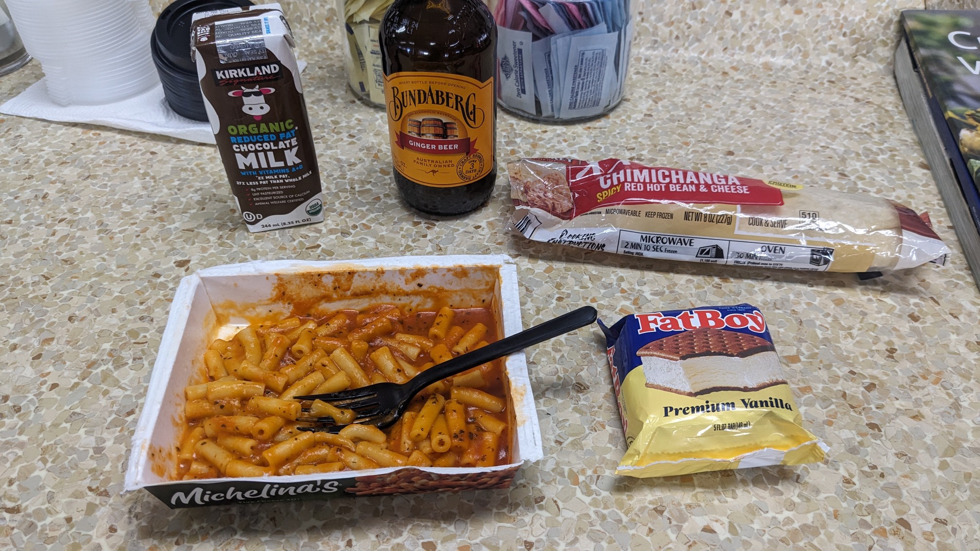
We sat at the counter, which looked like a 60s-style affair, complete with stools and shiny countertops. For my 2nd breakfast I had a frozen pasta meal, a burrito, chocolate milk, ice cream, and a wonderful beverage called Bundaberg Ginger Beer. Usually I can only find that beverage in Australia!
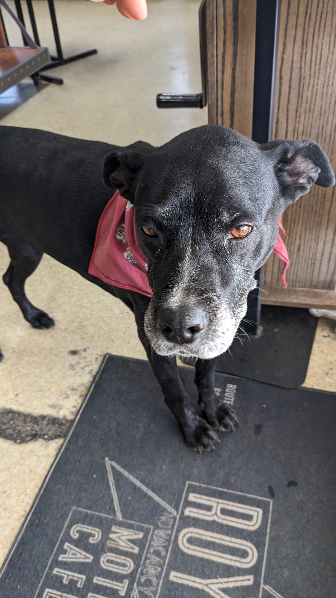
The resident dog, Xena, kept coming over for pats and head scratches.
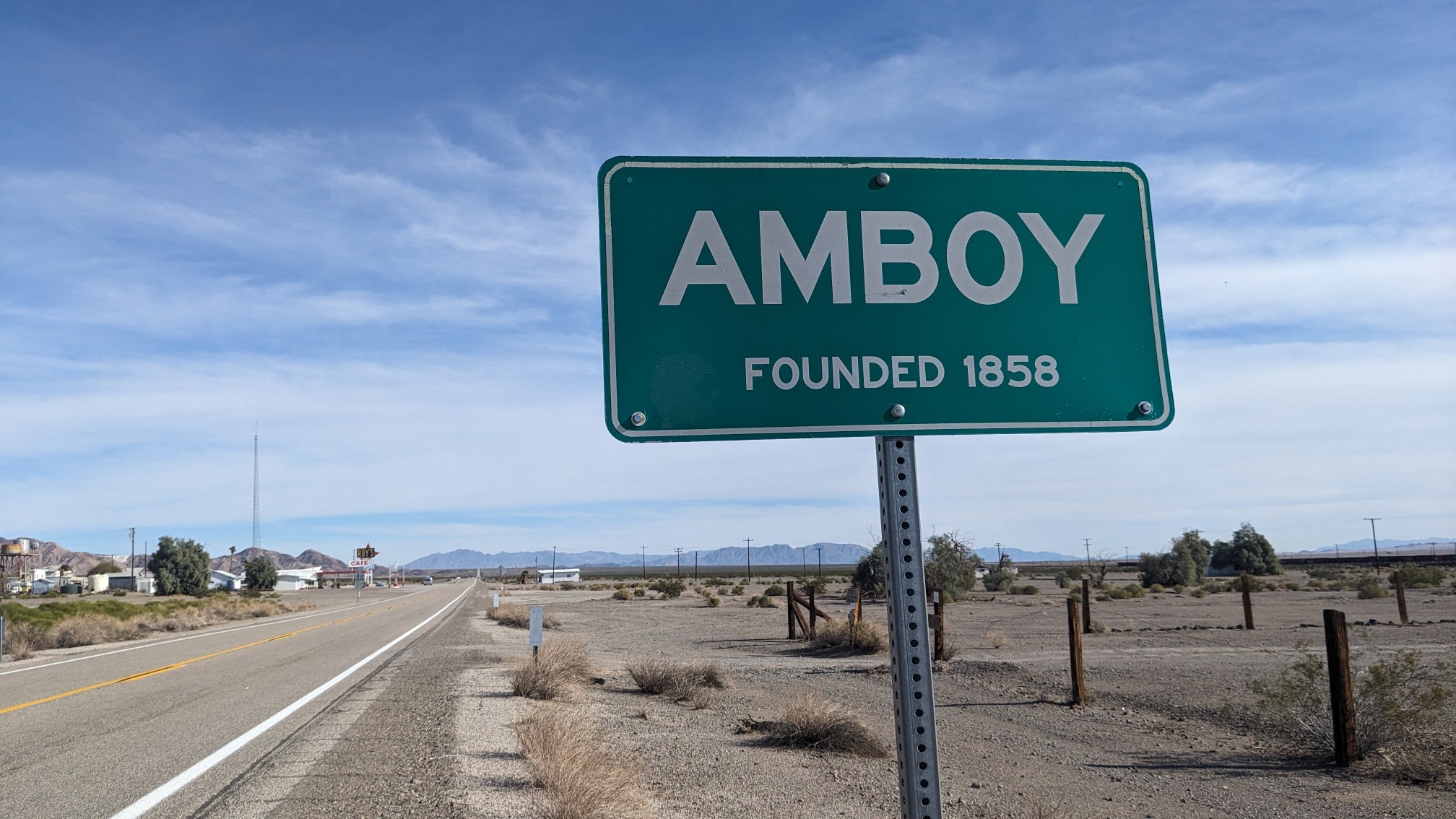
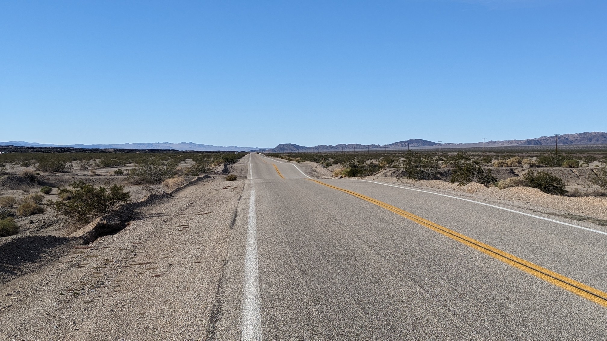
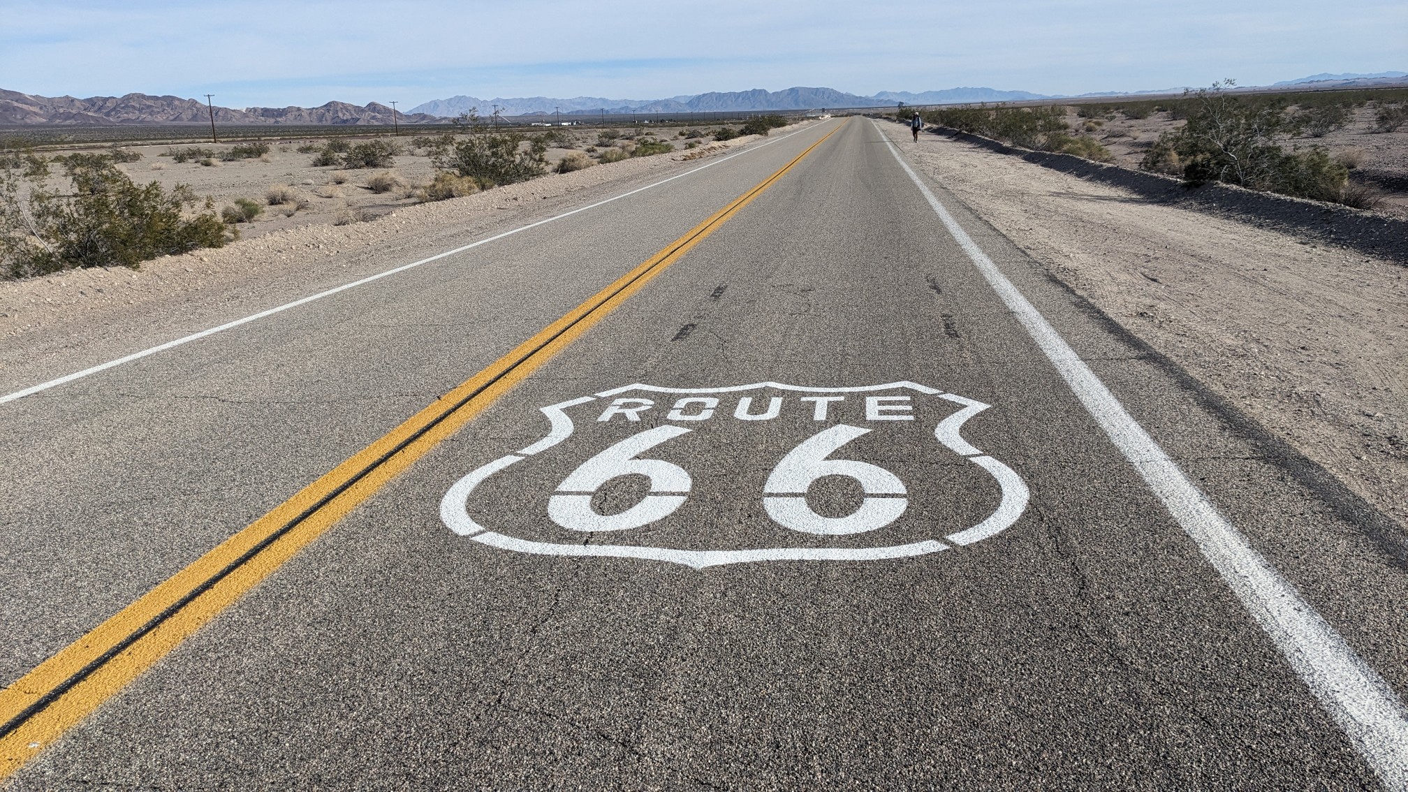
After eating a ton of food and charging all our devices, we finally left the store at 12:30. We walked along the paved Route 66 for a couple of miles, leaving Amboy.
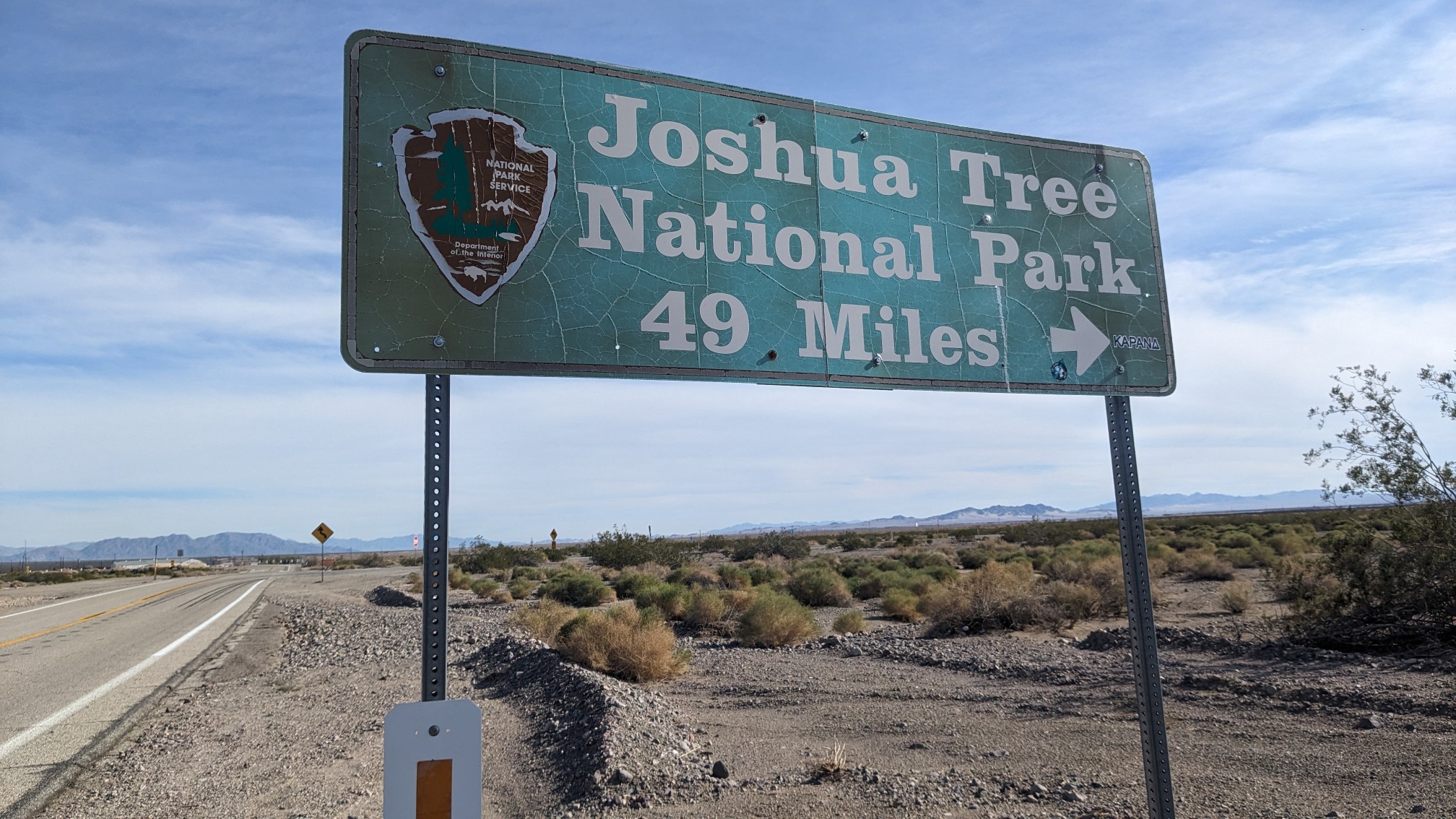
The road goes directly to Joshua Tree National Park, where we will be finishing this trail. But our route takes over 100 miles instead of only 49, ha!
During the 30 minutes we were walking on the road, only one car passed us, it felt very empty.
During that same timeframe, I saw 4 trains go by. A customer in the store had told us that he was an employee of BNSF railways, and they have about 100 trains per day thru here …seems about right. Just before we turned off the road, I got a photo of one of its nifty logos.
We turned into an attraction called the Amboy Carter National Natural Landmark.
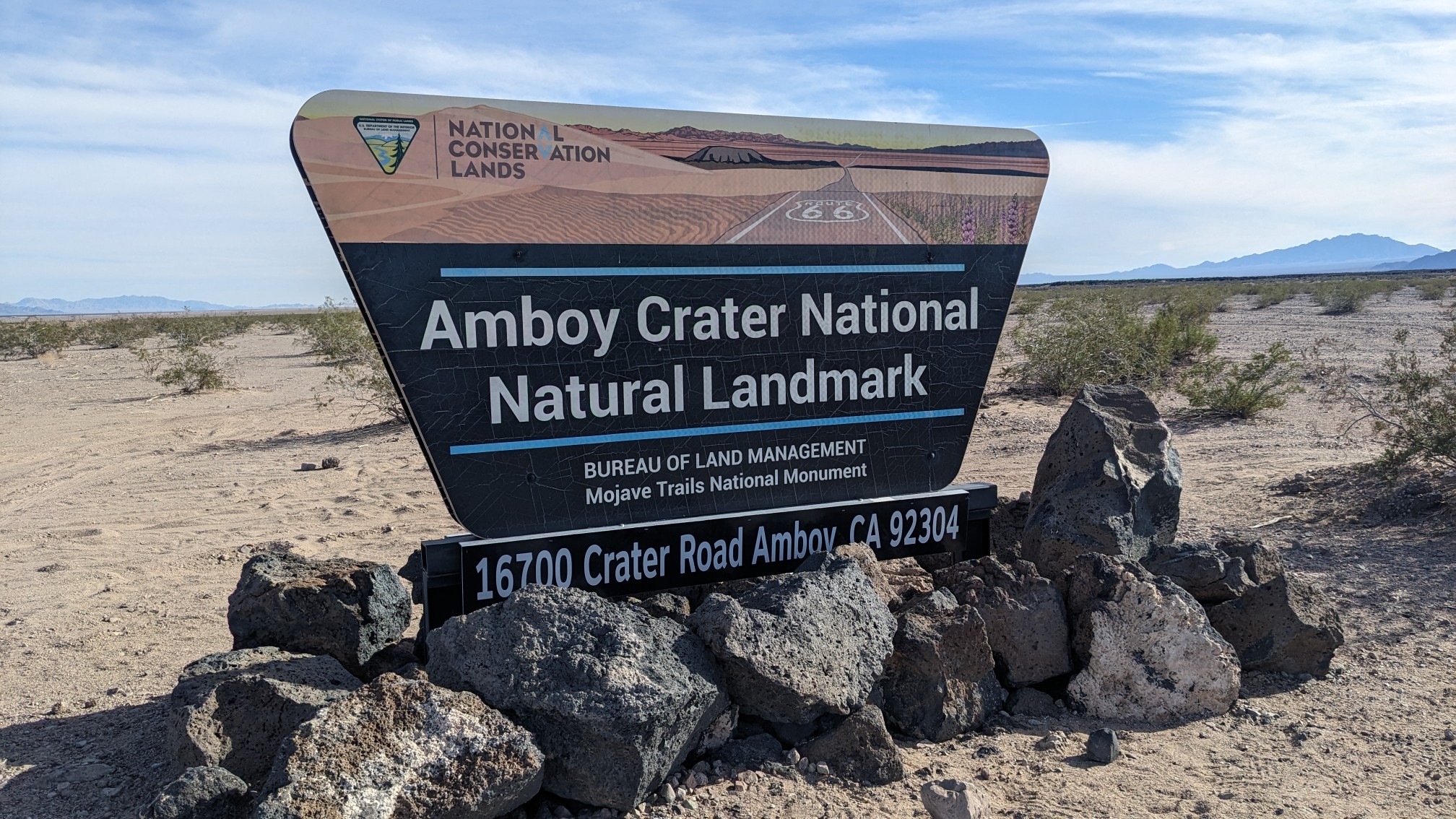
There was a trailhead with a parking area and bathrooms, and even a real trail!
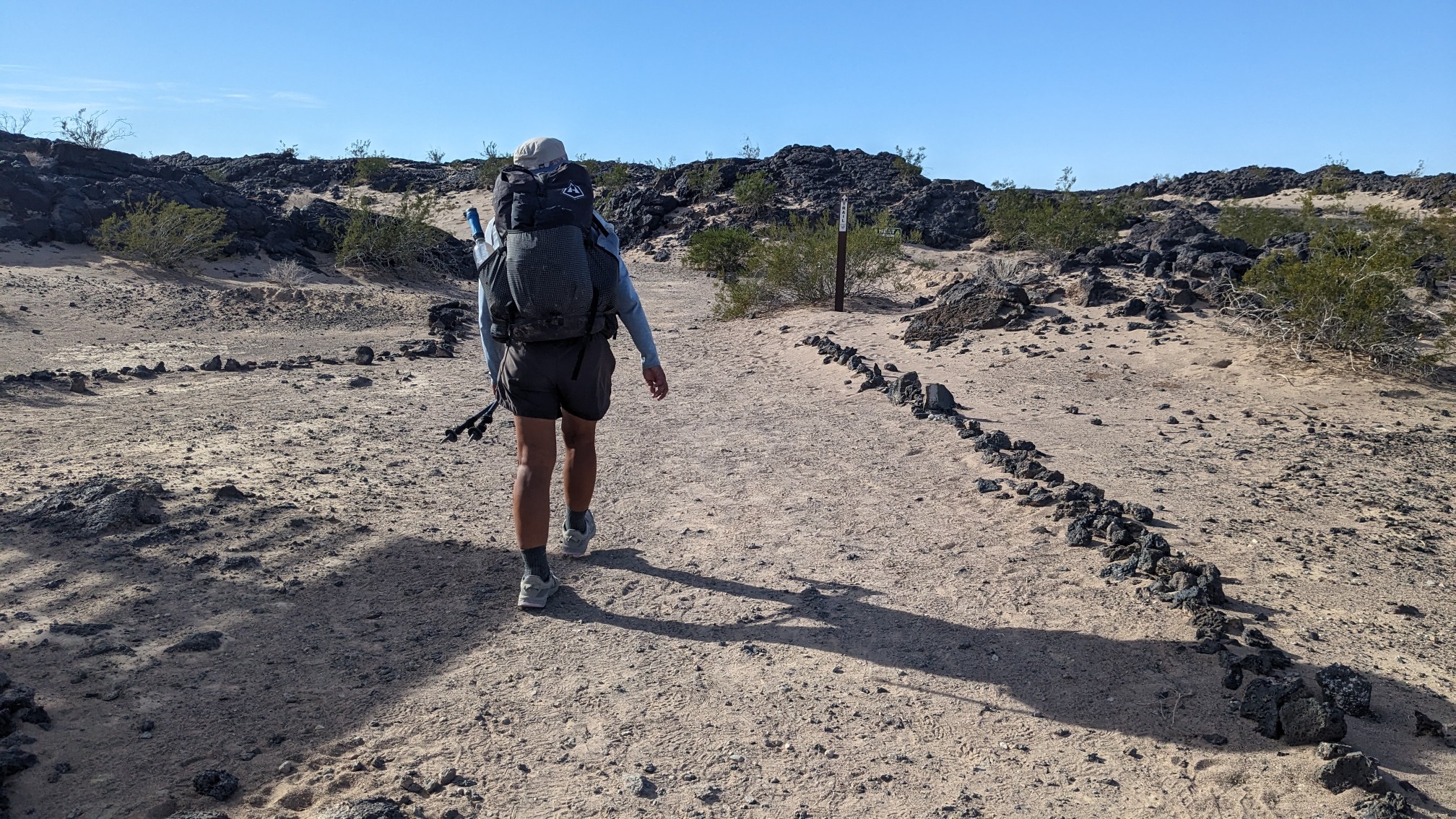
The crater was a mile away, it looked pretty big. The sign said it was 250 feet tall, and 1500 feet in diameter.
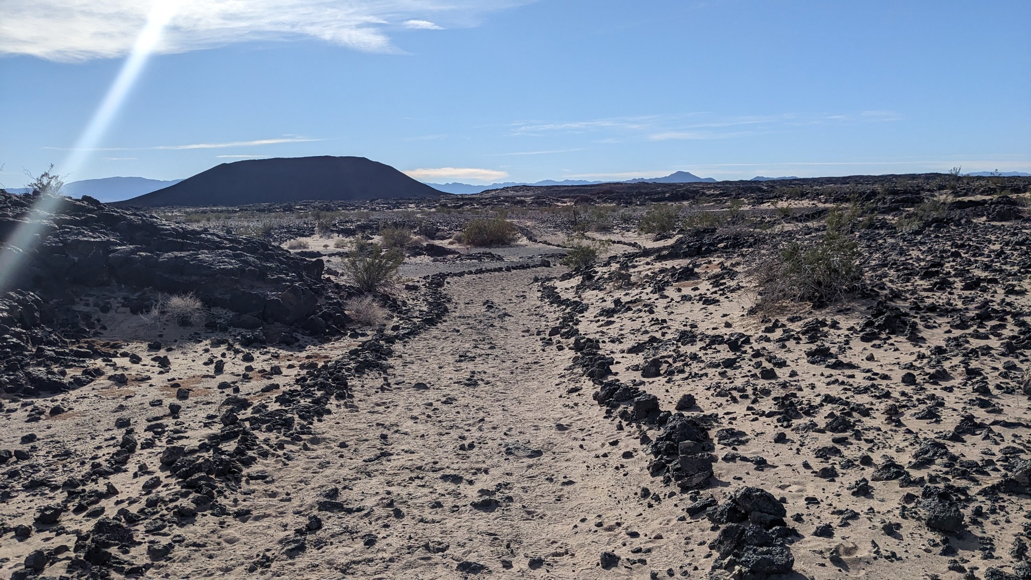
The crater up close! The trail continued up to the top of the crater, but our route continued directly south. I’ll have to come back someday to hike up the crater.
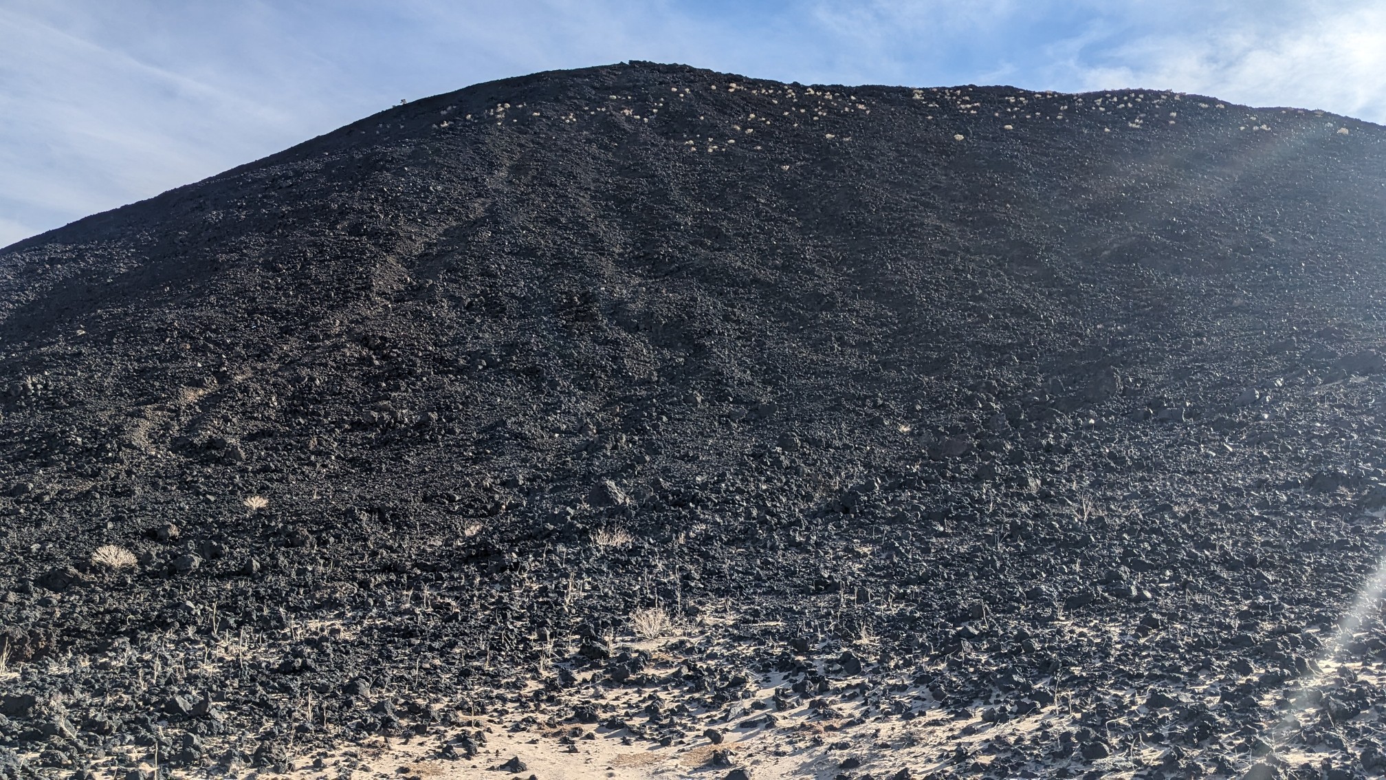
Behind me, I could hear yet another train going by, and I realized the view of the Amboy valley was pretty nice too.
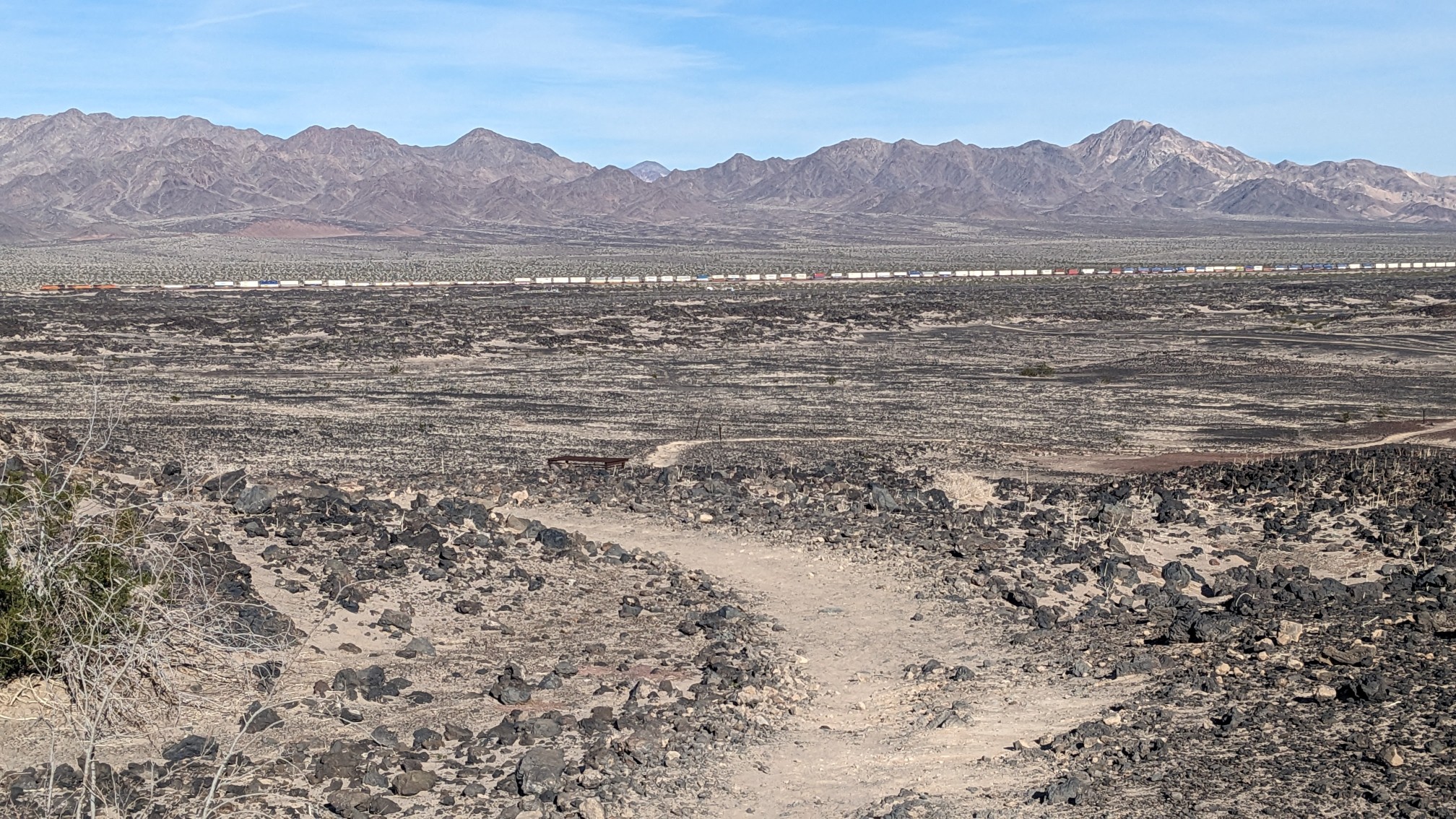
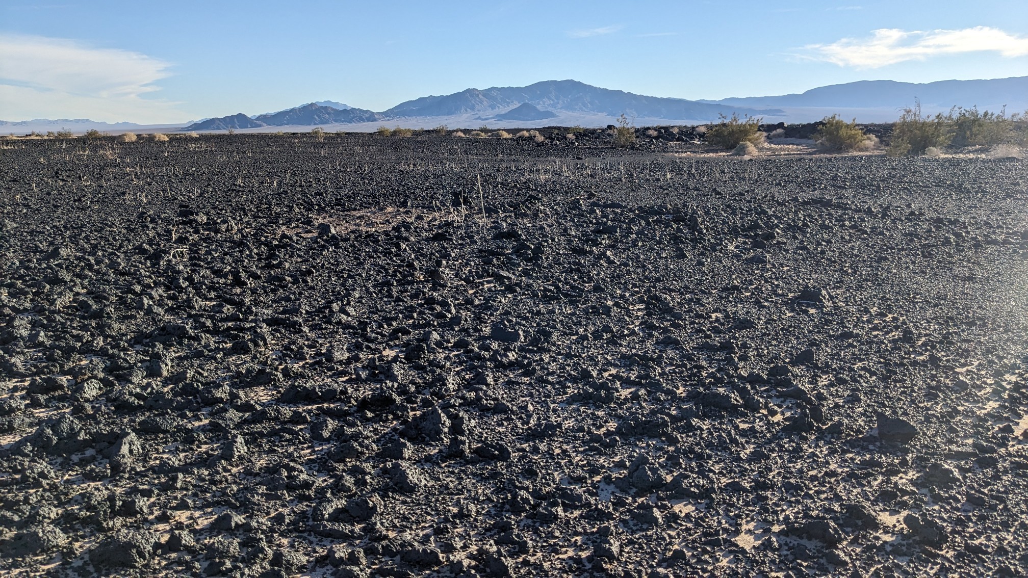
Looking ahead, we had to hike thru 4 miles of lava fields.
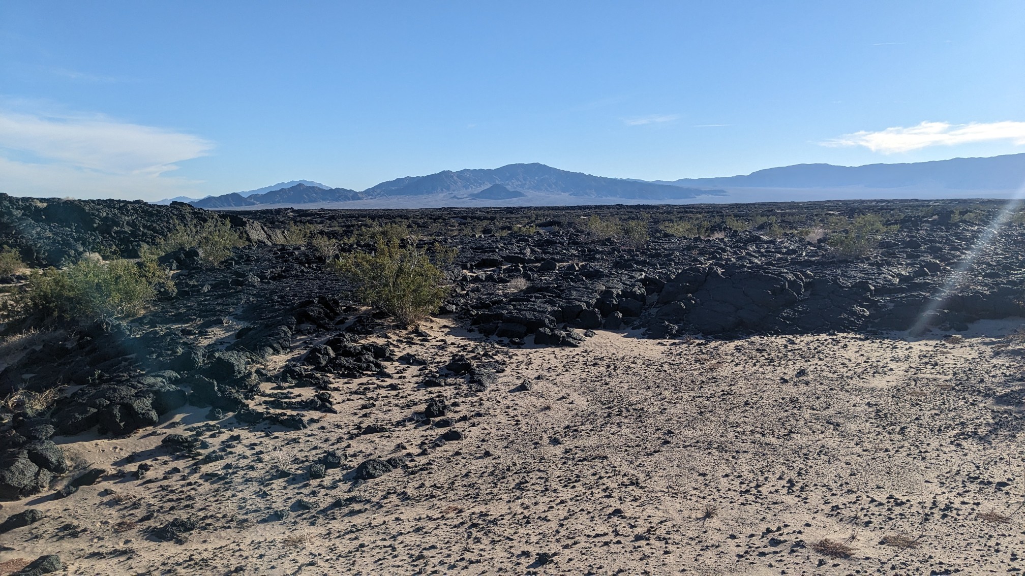
It was a fun puzzle, linking together smoother sections of ground, and avoiding the rockiest patches. It was slow progress, and I distracted myself by finding all the random flowers that like volcanic soil.
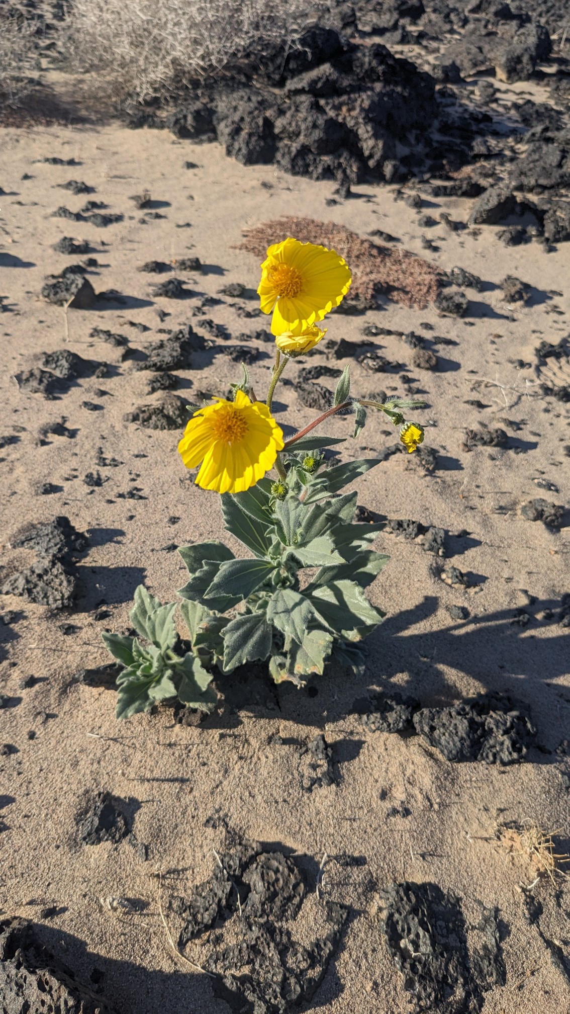
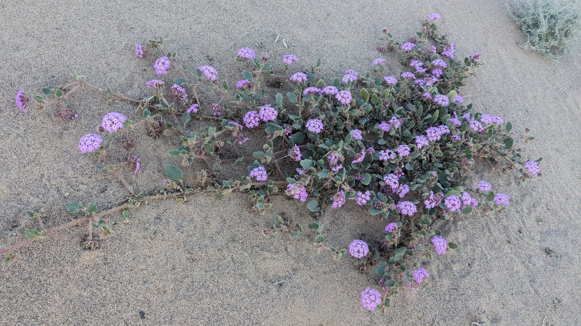
Eventually the rocks started to subside, and we could see a straight path ahead to the south.
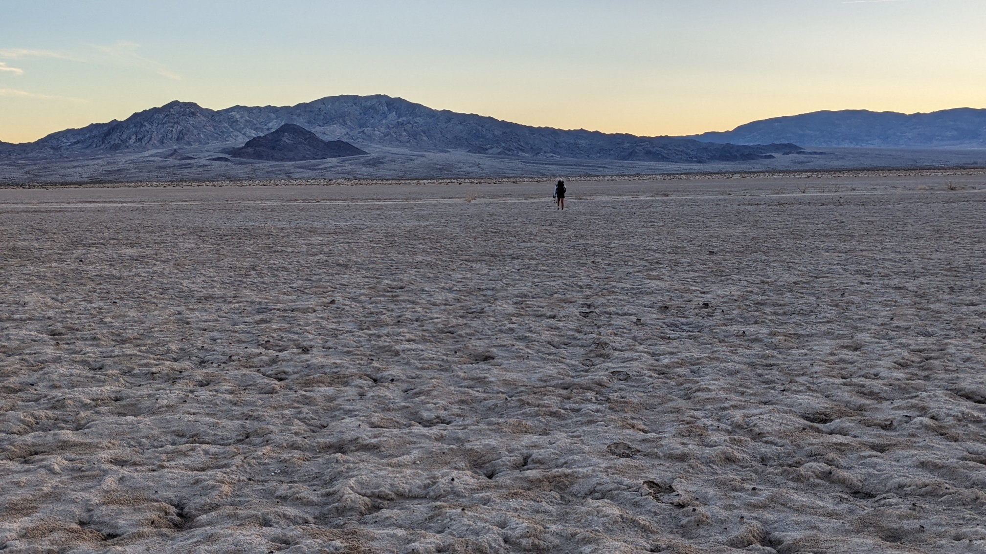
Our next terrain feature was Bristol Dry Lake, which we hiked across.
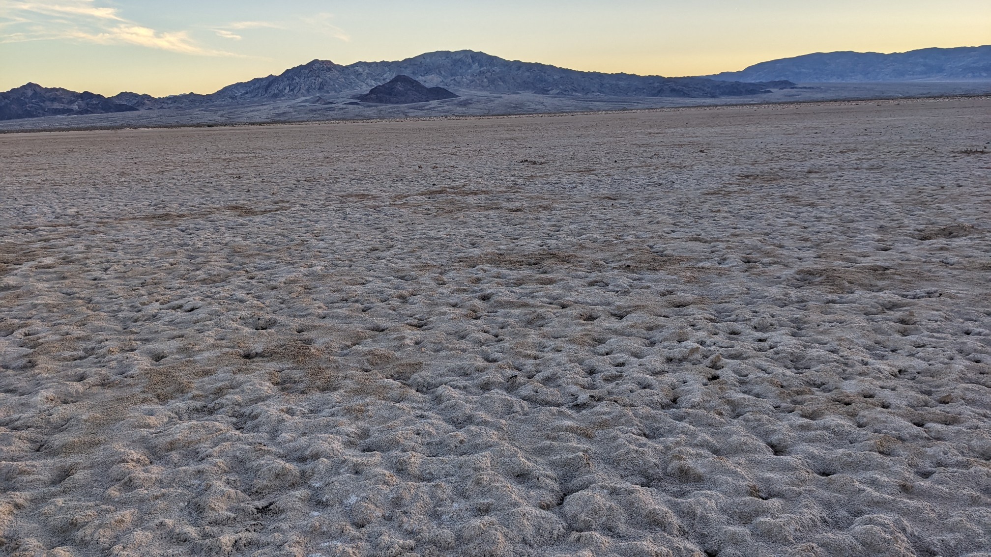
I’m sure at some point in the year it had water, but most of the time it’s just a barren flat expanse of land. It should’ve been easy hiking, but every 25 steps or so, the ground would randomly collapse, and punch thru a few inches. Annoying. It made a great sunset photo though!
After the dry lakebed, we had a mile of cross-country, and then stopped to camp near a dirt road at 5:30pm.
What an interesting terrain! And the desert flowers… so pretty! Rt. 66 cafe is so nostalgic – reminds me of the ‘old days’. 😊 Enjoy the rest of your journey!