Friday May 3, 18.8mi/30.3km
Taylor Cabin (14.3/4400ft) to Old Bradshaw Ranch (32.9/4580ft) (Arizona) +0.2mi to secret cabin
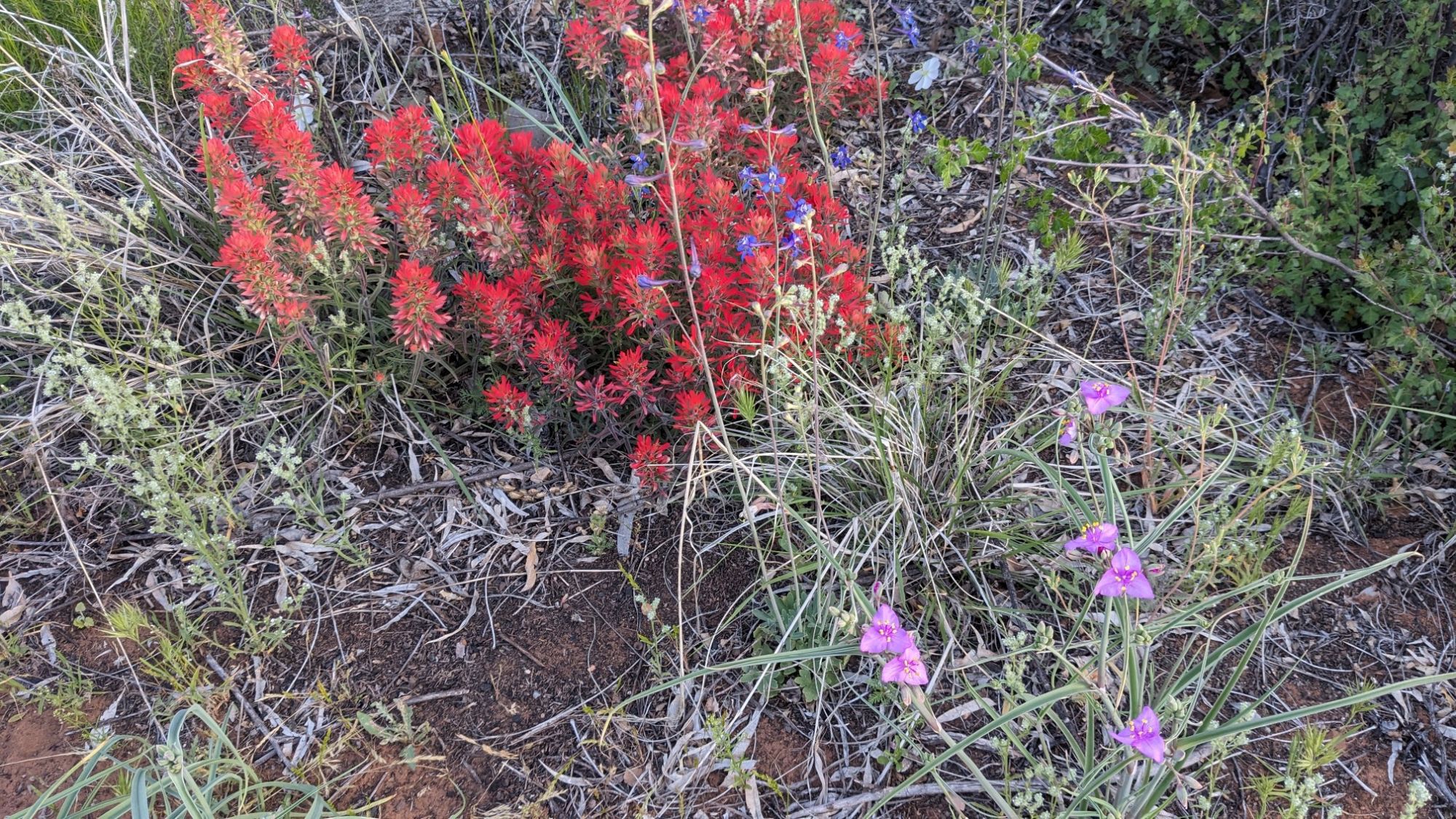
I woke up with the sun at 5:30am, and very slowly got ready and left camp at 6:15. I walked back up to the trail, and within a couple minutes it had faded to a faint track. The matter was starting to swallow the trail but it was also filled with these nice wildflowers.
According to my map, I was supposed to walk up this wash full of rocky cobbles for the next 3 miles.
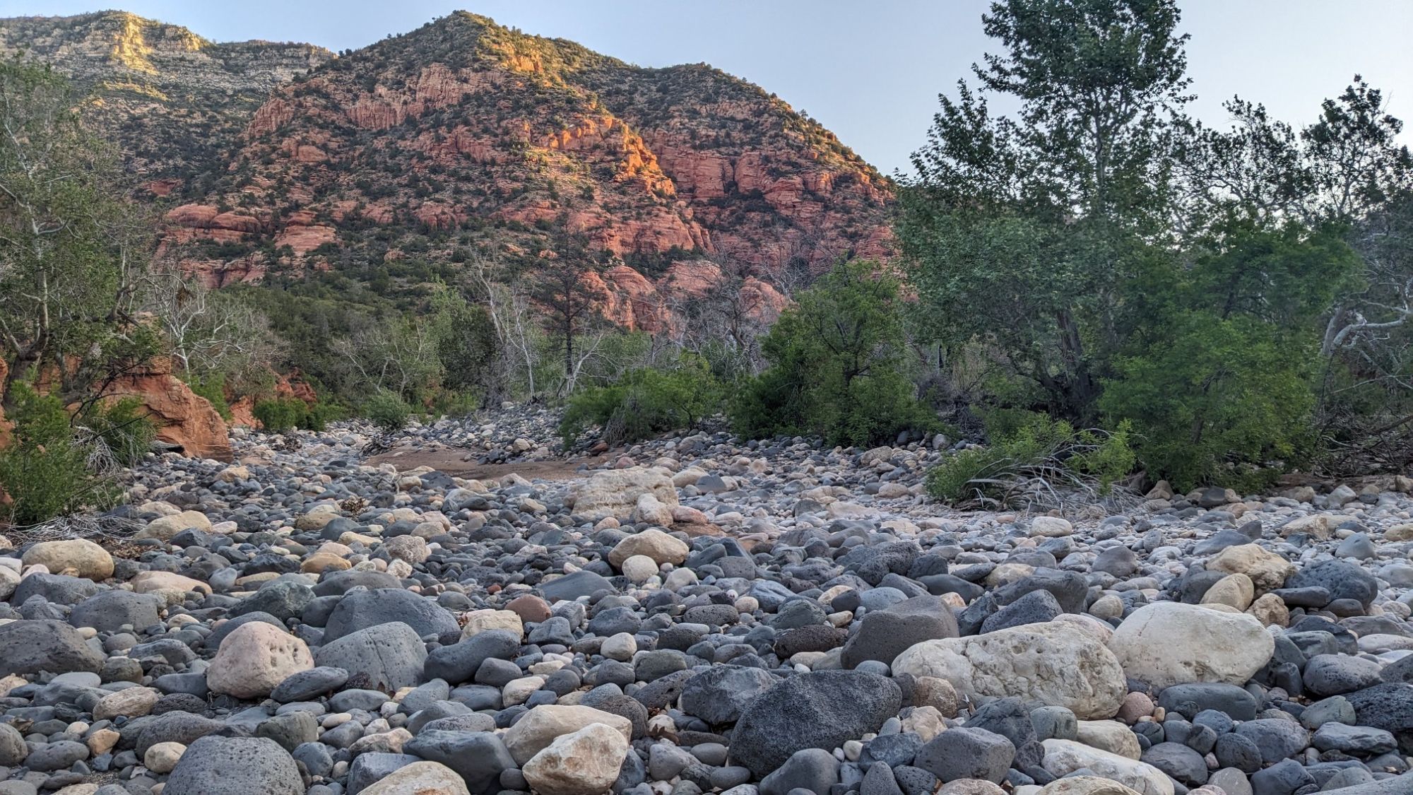
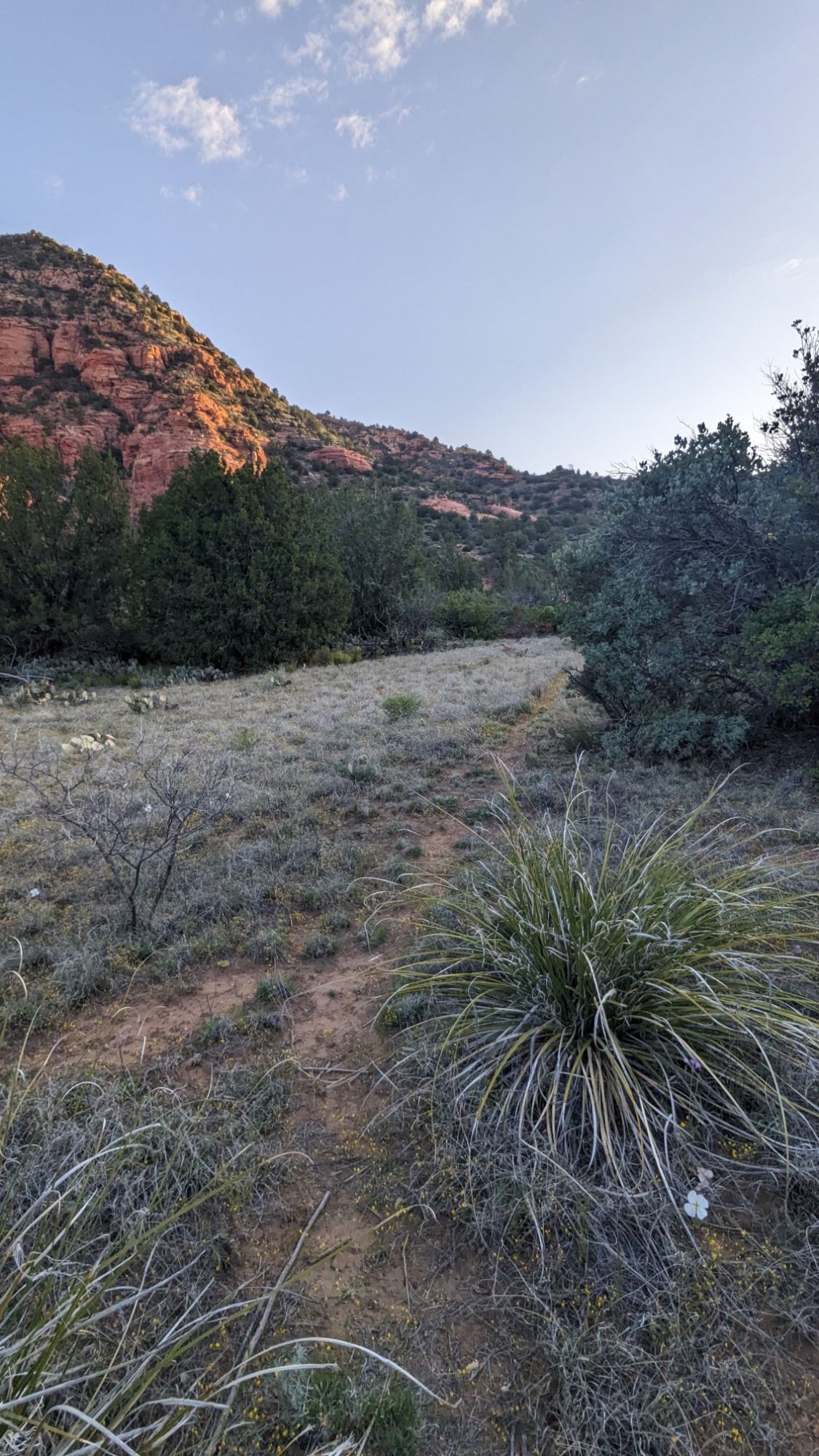
My ankles didn’t like the sound of that so I searched around a little bit and found a nice but faint trail that ran parallel to the wash and occasionally crossed it.
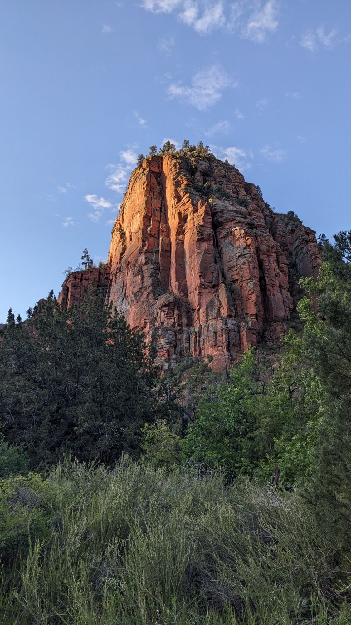
As the sun rose, the cliffs around me started to glow orange.
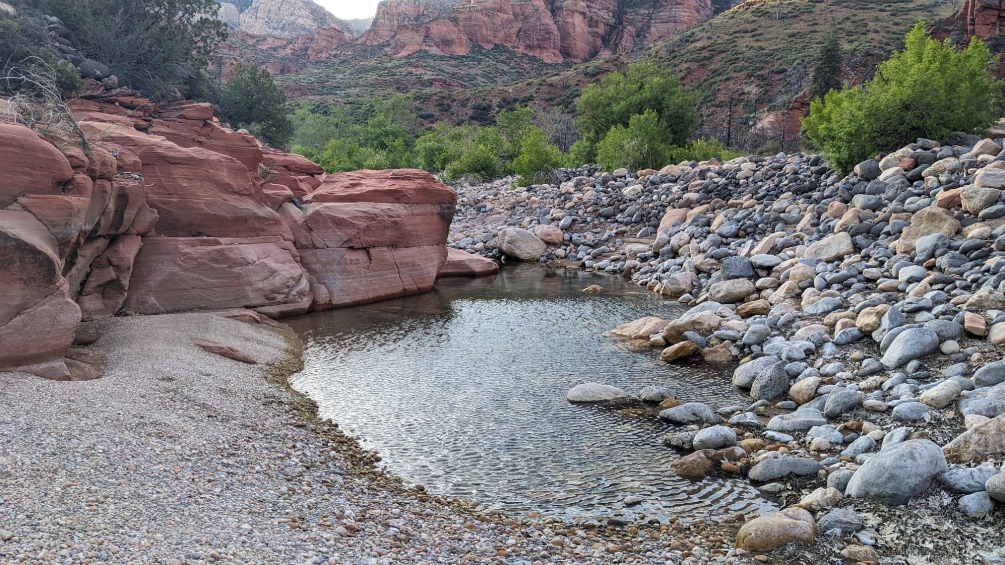
I came across a water source, a giant depression where the gravel had filled in with water.
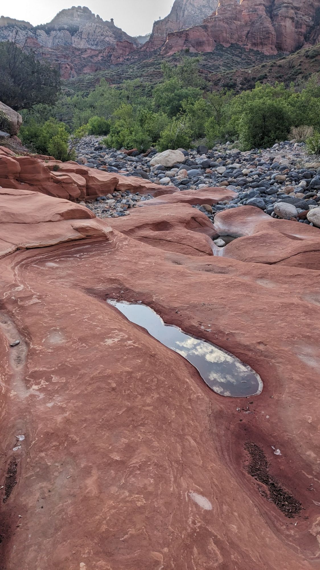
For a couple minutes I got to walk on slickrock, which is my favorite.
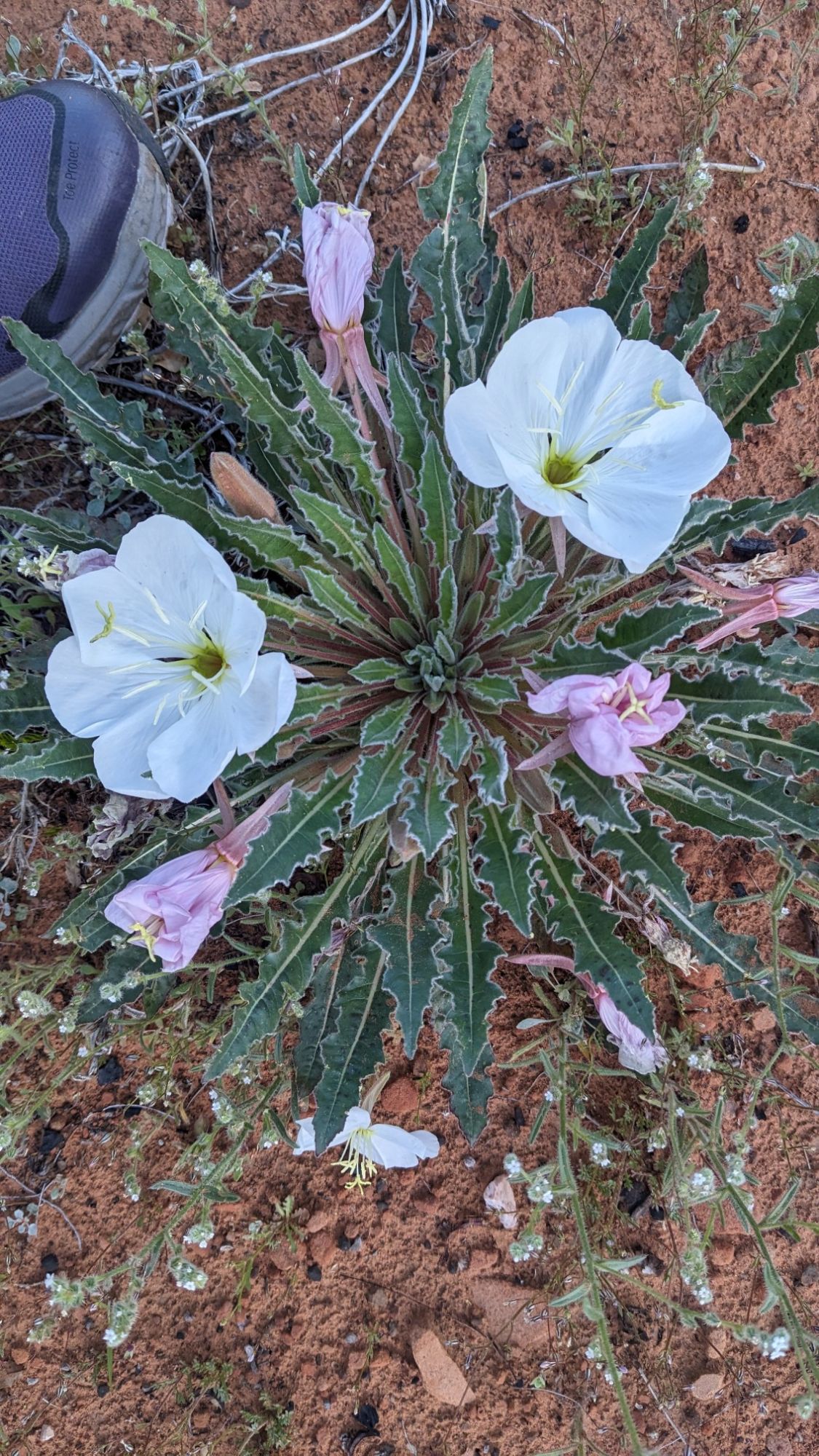
More wildflowers!
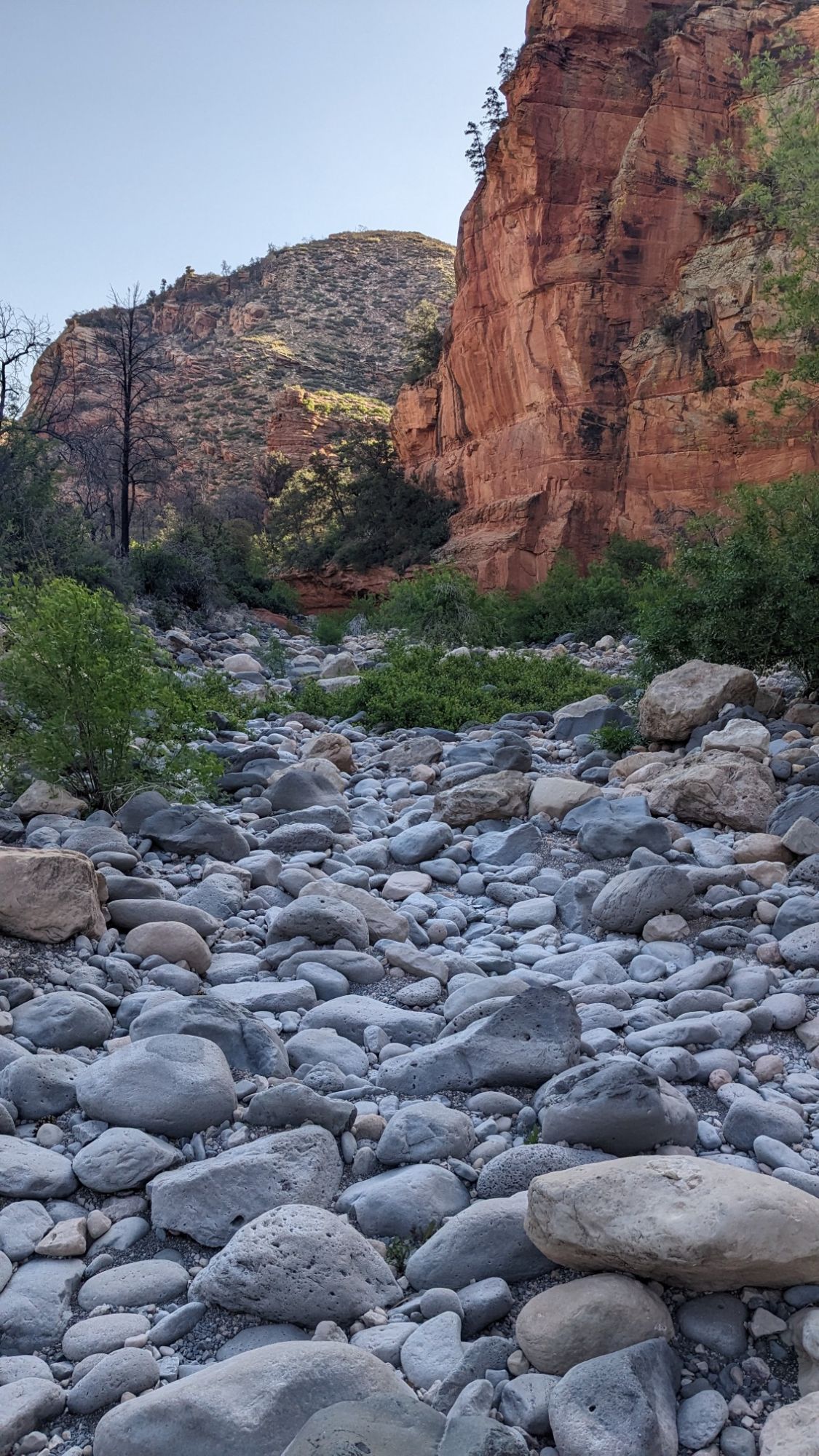
I followed a very faint trail that was at times difficult to follow, but fortunately it was tagged with pink flagging tape. At the very end of the wash I did have to walk in the rocks for a couple of minutes.
And then I turned onto a different trail and climbed steeply out of the wash.
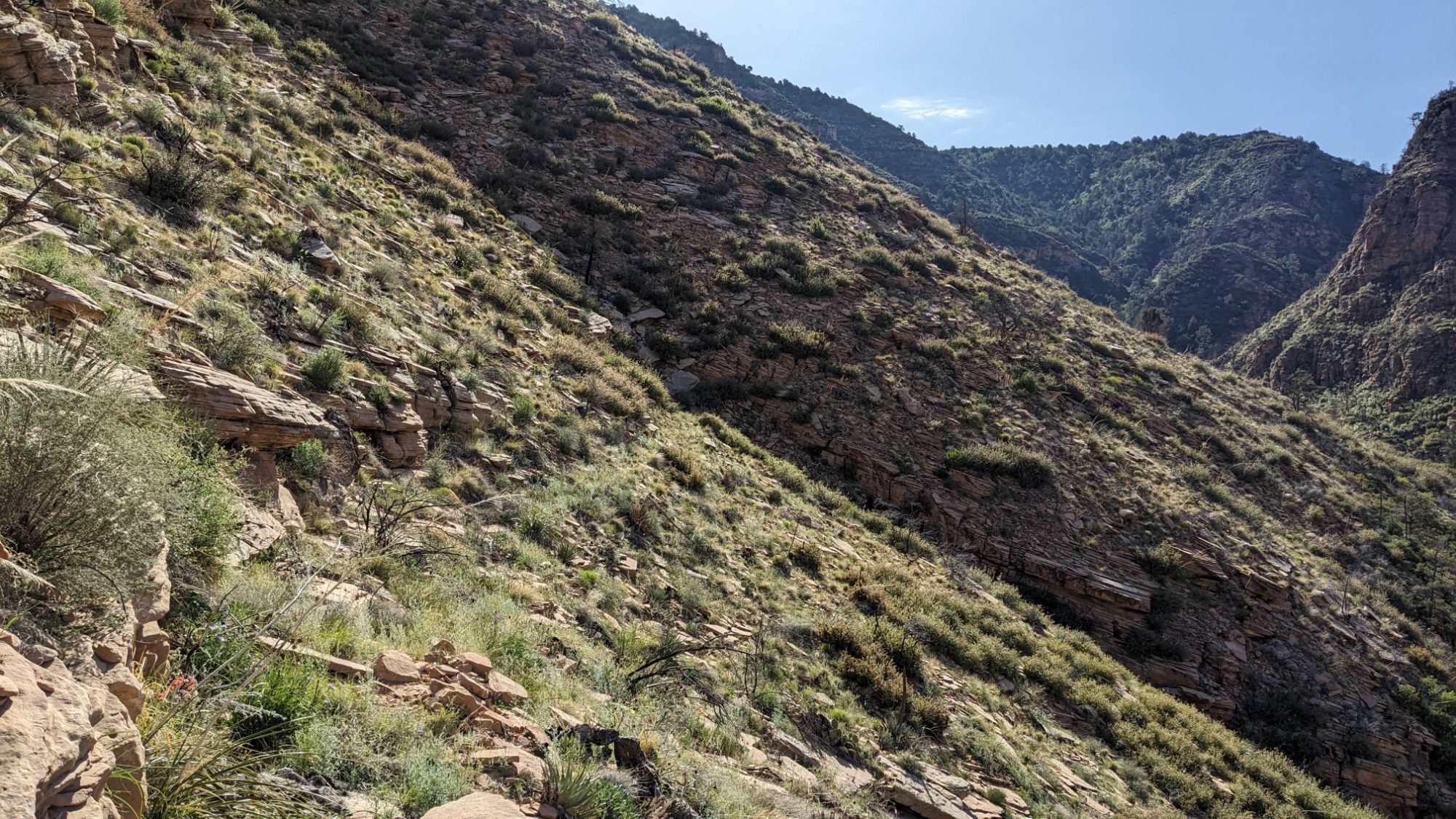
By now it was almost 9am and the day was really starting to get warm. This section of trail was rumored to be overgrown and brushy, but I found hardly any problems with that. After an hour of steady pushing uphill I was up into the elevation with Ponderosa pines.
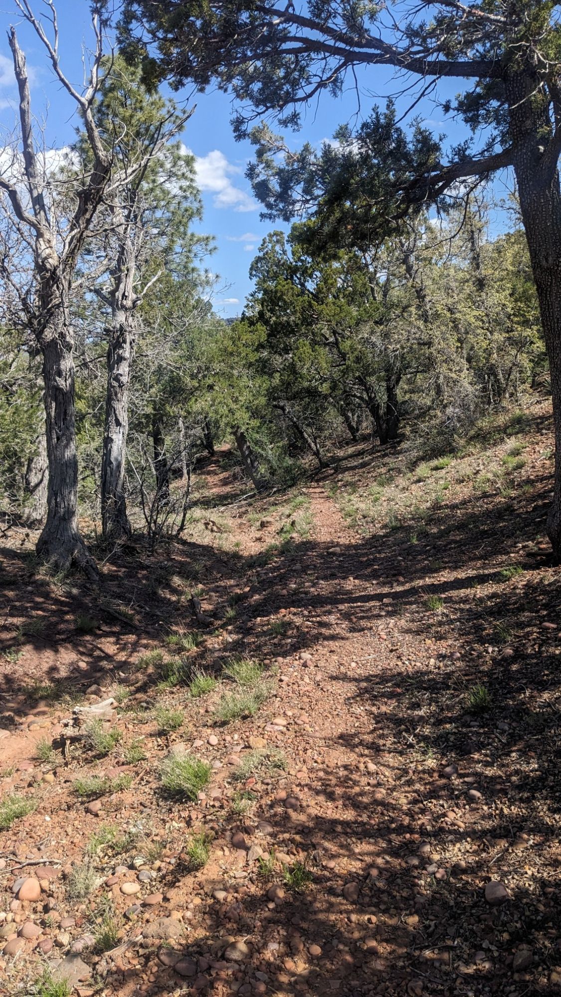
You’re the top of the climb I came to a little spot in the woods with a dilapidated cabin, Winter Cabin.
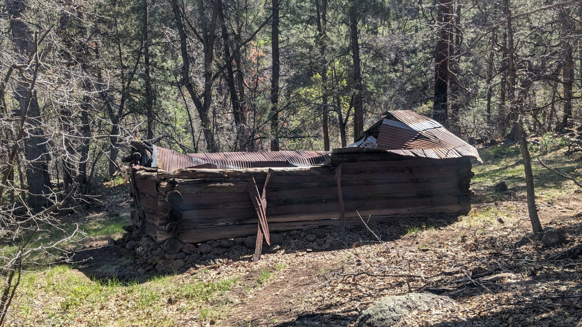
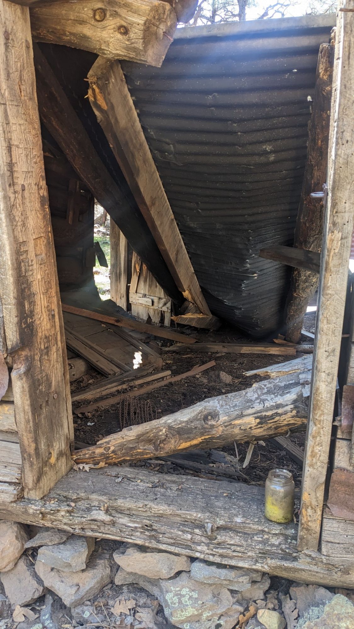
Yup, very dilapidated.
I wandered over to the nearby stream, where I refilled my water and took a nice break in the shade.
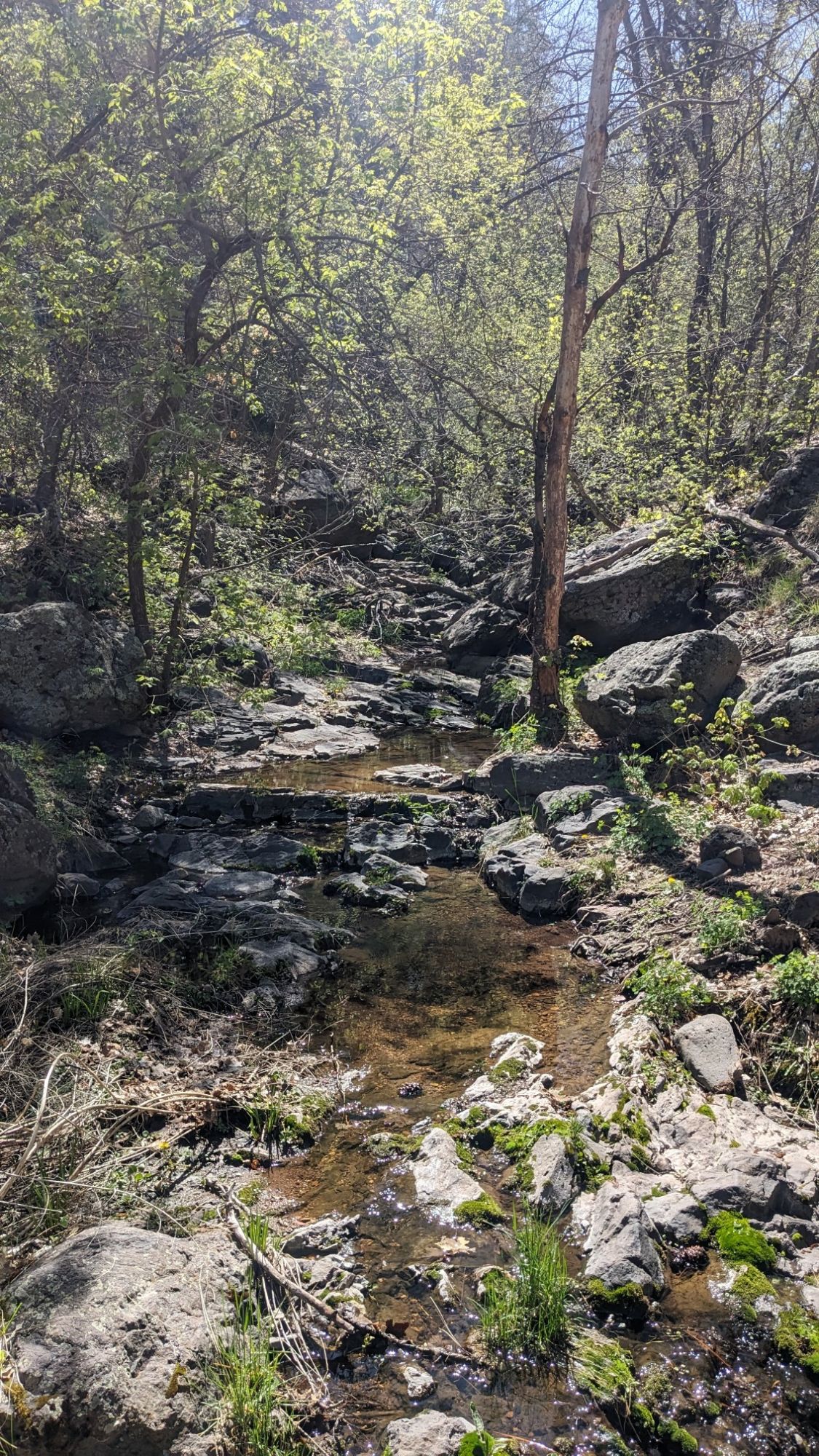
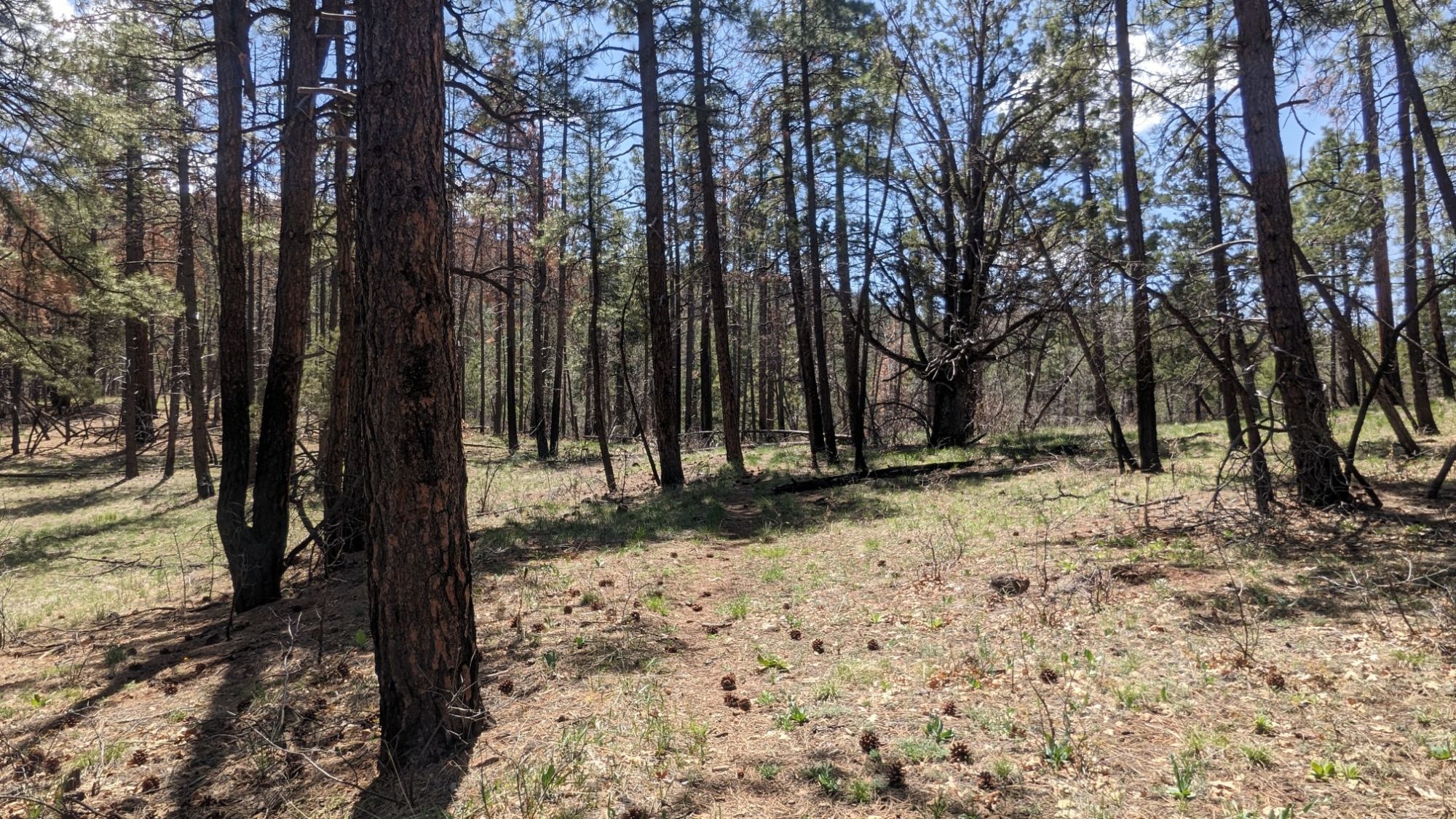
It was actually a little chilly in the shade at this elevation of 6500 feet, so I continued uphill to finish the climb through the beautiful Ponderosa pine forest.
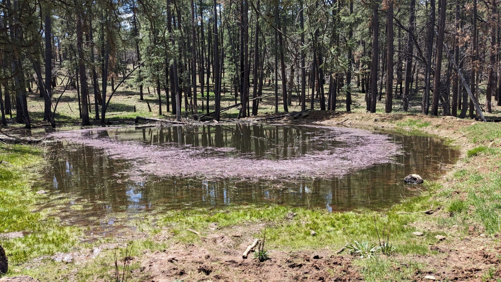
At the top of the climb the trail ended at a trailhead and dirt road, which I followed for a few miles past several ponds.
I stopped on the side of the road to have lunch in a nice sunny spot, to keep myself warm but also to use my solar panel.
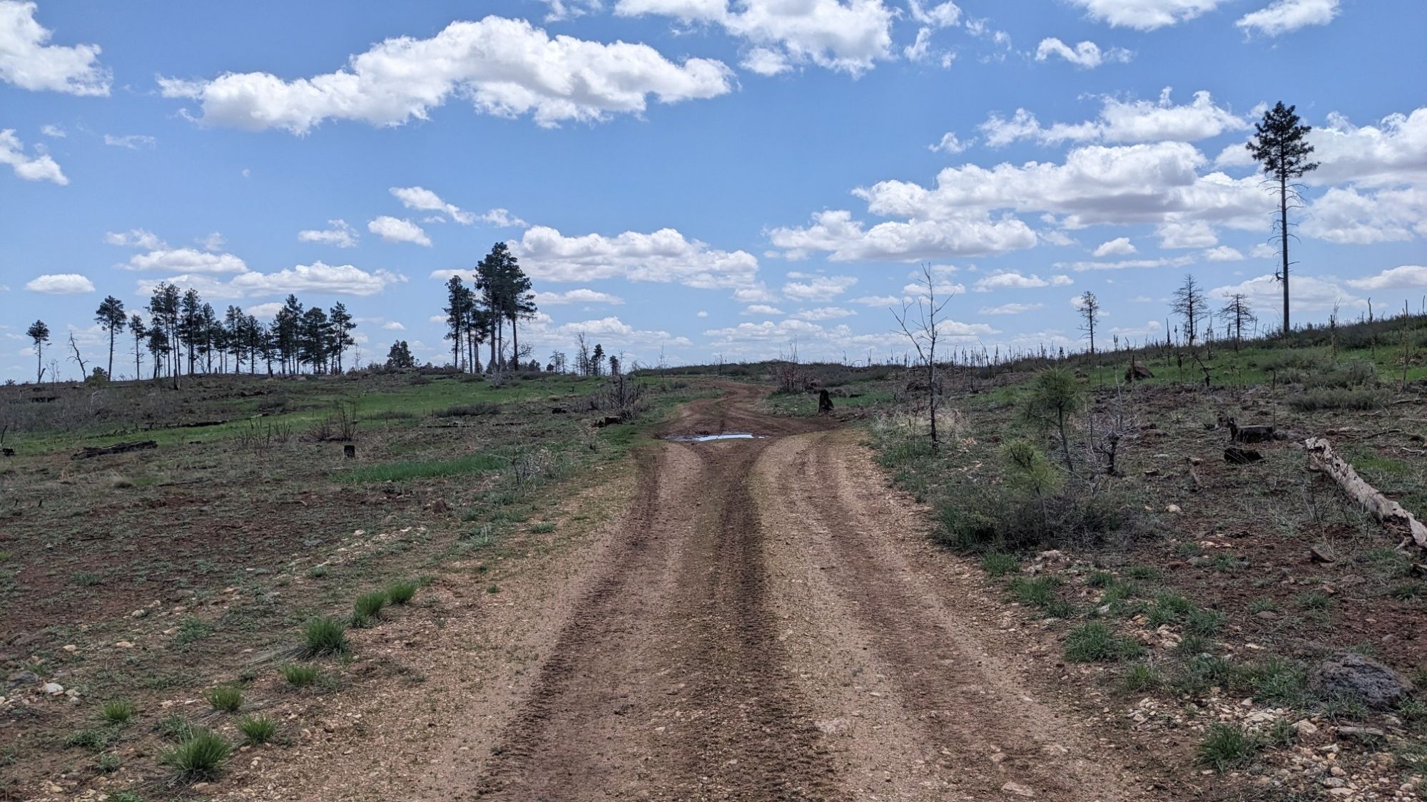
After lunch I walked another mile on the dirt roads on top of this plateau, and pretty soon I came to another cabin.
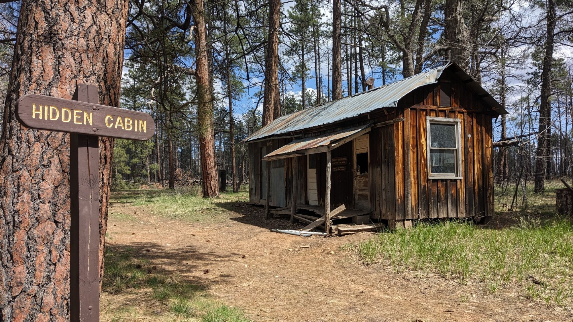
Hidden cabin wasn’t quite as dilapidated as the previous one, but it did have warning signs for hantavirus.
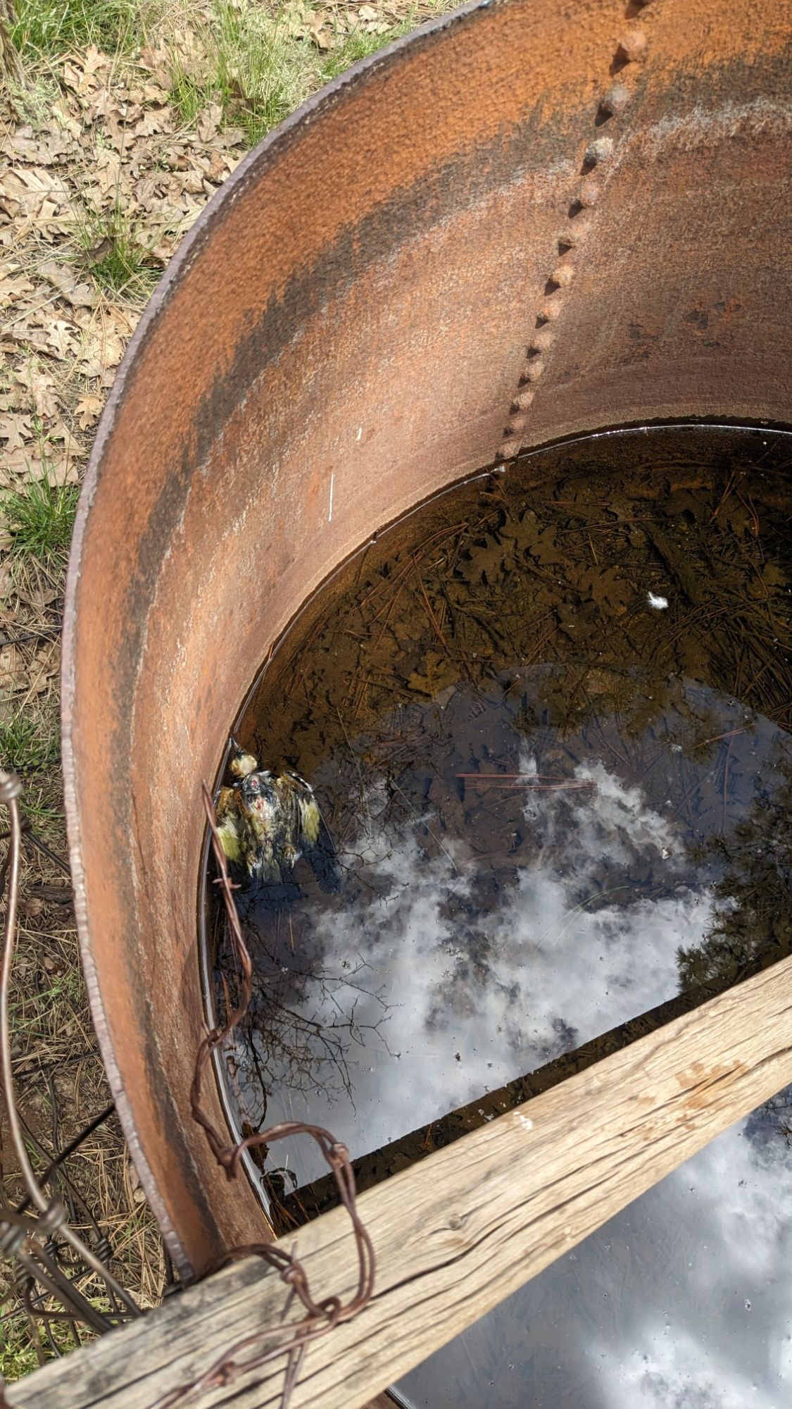
The rain barrel behind the cabin was full of nice clear water, but also had a dead bird floating in it. Yum.
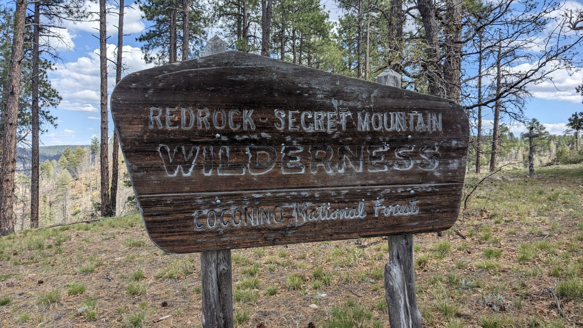
I continued down the dirt road and soon came to the end of the road and also the trailhead for Secret Mountain. Another wilderness area!
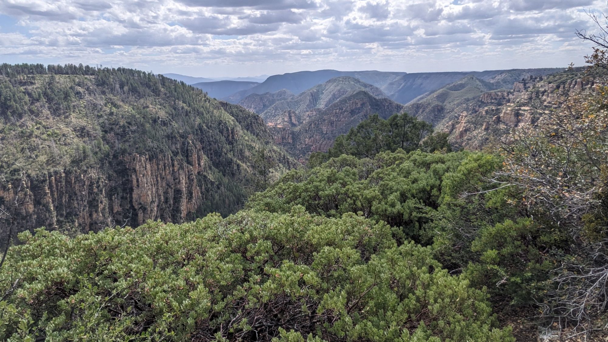
I was about to descend into Loy canyon below, and I had a pretty good view from the trailhead.
I started down the trail and at first it was covered in fallen trees, but soon it became a well-groomed trail.
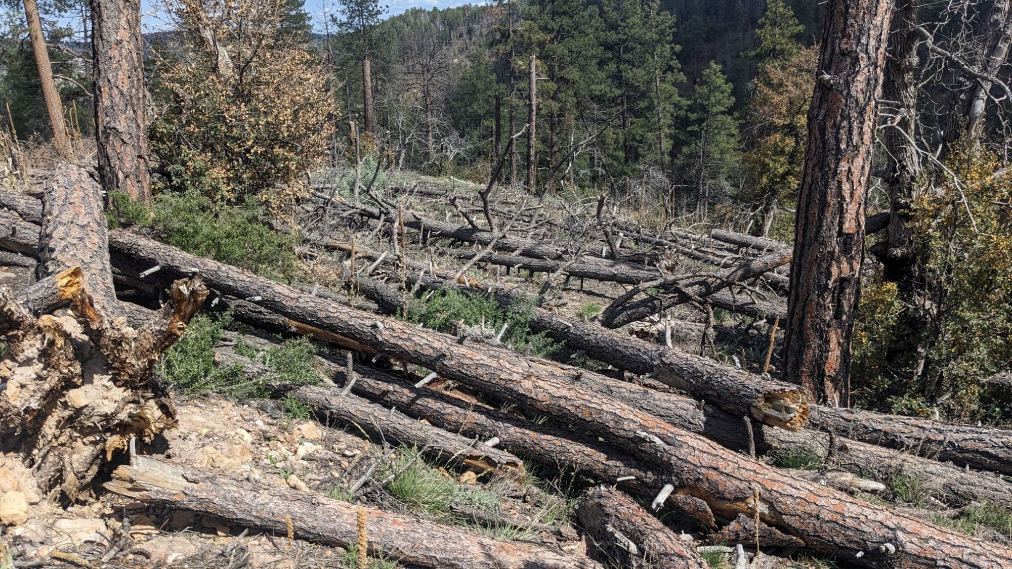
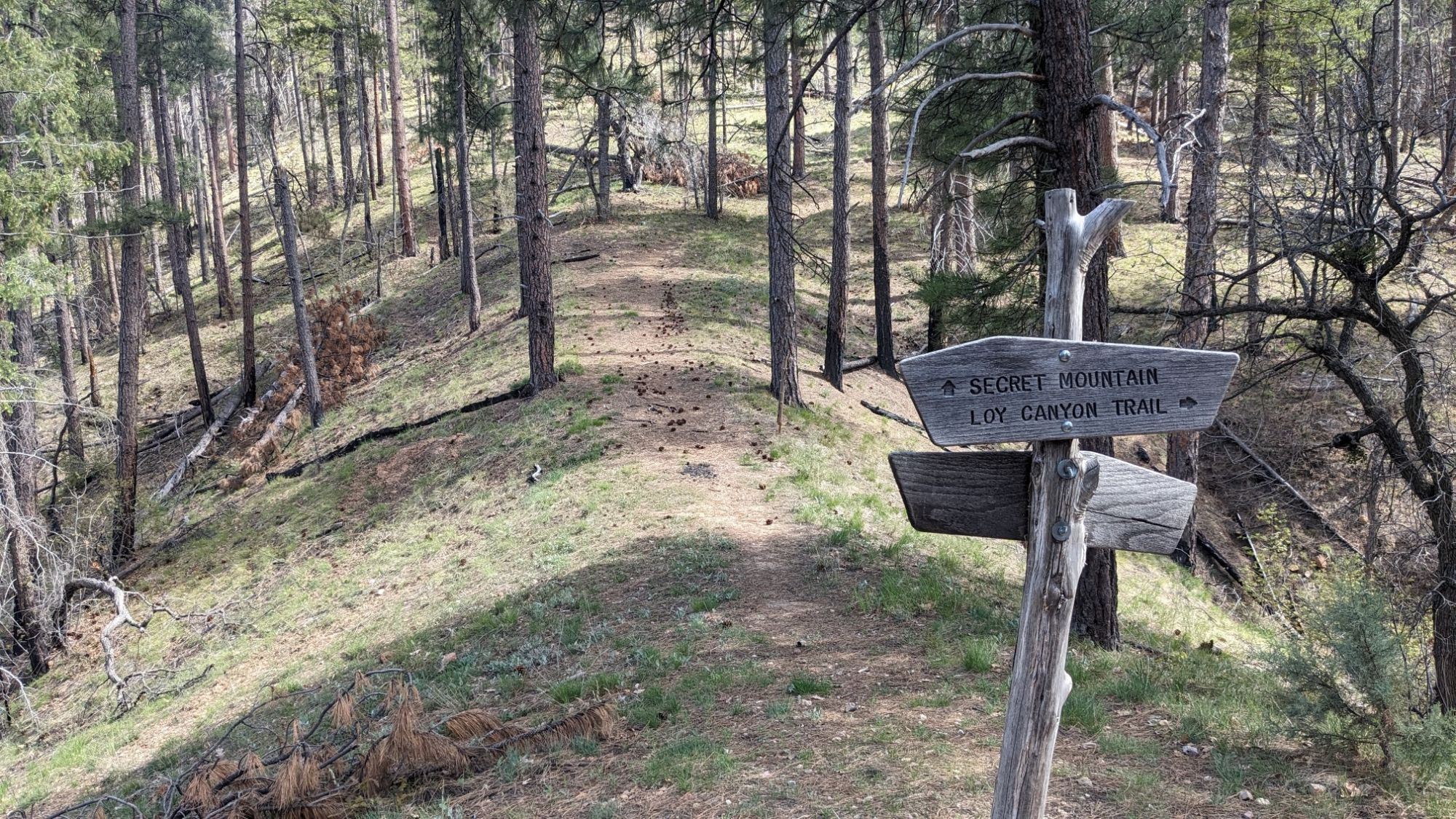
As I descended into Loy canyon, the cliffs around me started to look enormous.
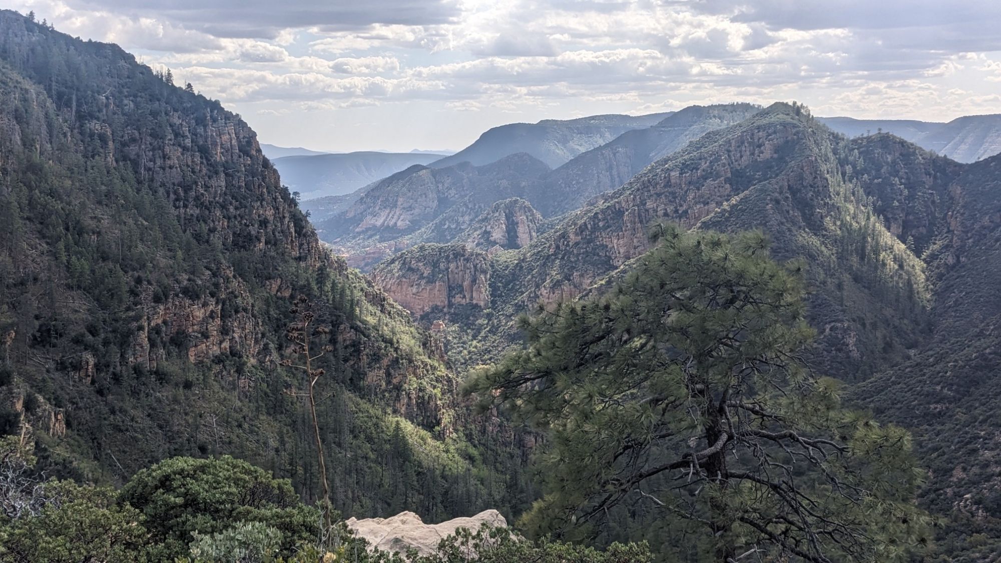
The trail was actually pretty cleverly constructed, and it followed the natural contours of the land as it rapidly descended into the canyon below. Before I knew it I was in the bottom of the canyon, and back in the juniper forest.
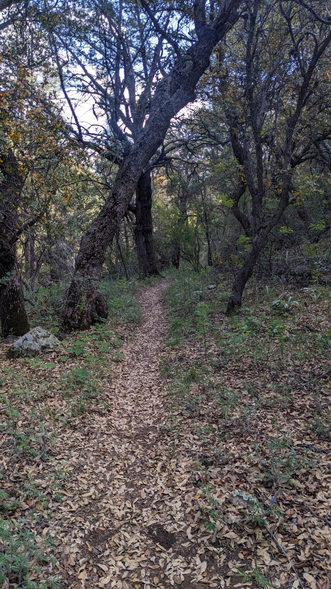
It was a very pleasant walk for a couple of hours down the Loy Canyon Trail, which was very well maintained. Just before 6pm I arrived at the trailhead and continued across the road, to hike in the wash for a couple of miles. Unfortunately the wash was a tangled mess of branches, thorny plants, and unstable rocks. Nope!
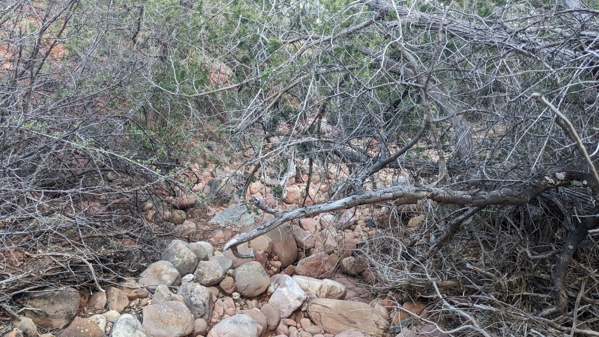
After a little bit of back and forth on either side of the wash, I finally found some cattle tracks and followed those the rest of the way.
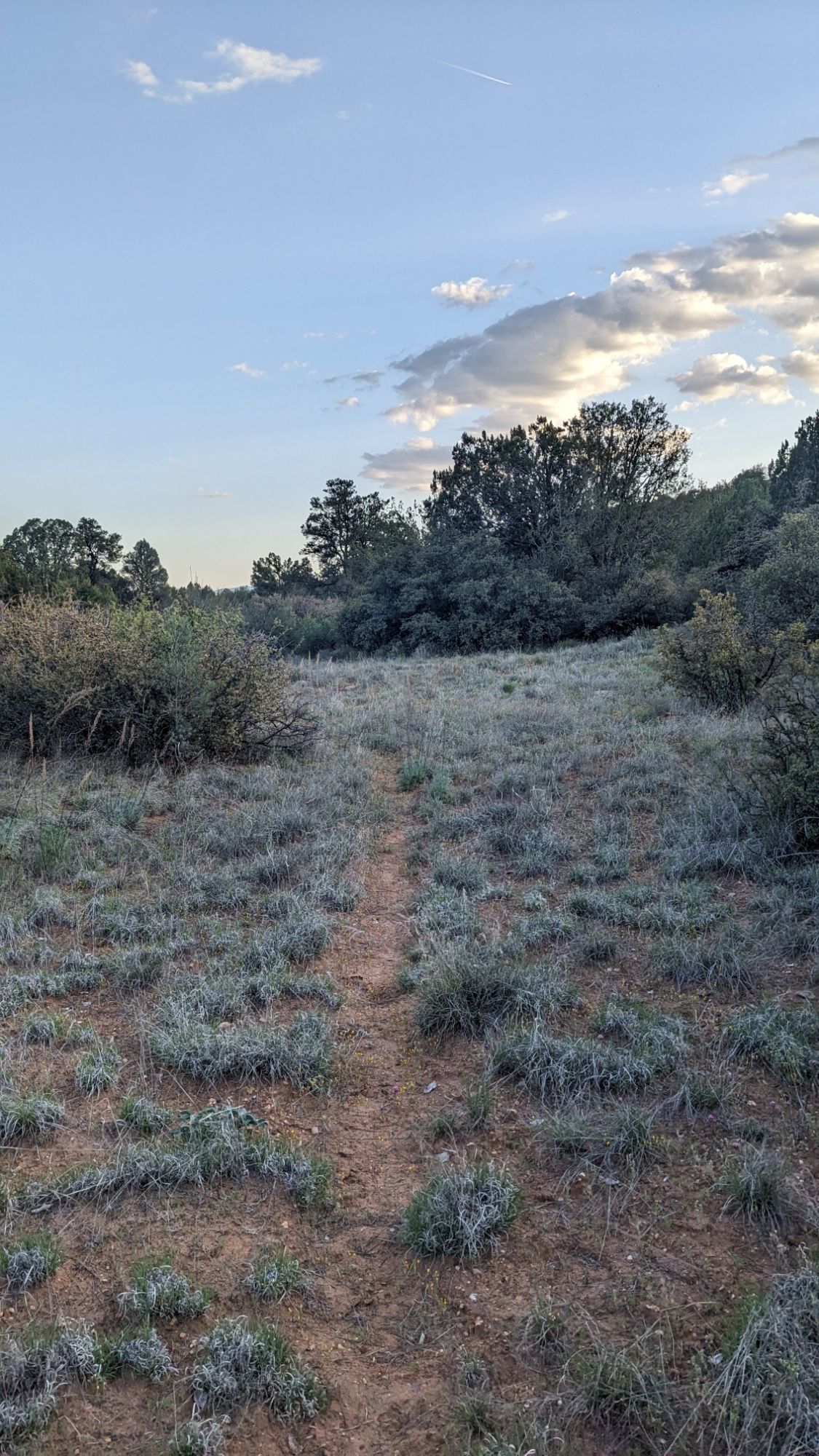
It was getting close to 7pm, so as soon as I left the wash I set up camp. There is a historic ranch nearby (owned by NAU) but I am pretty well hidden in my green tent in the scrub oak bushes.
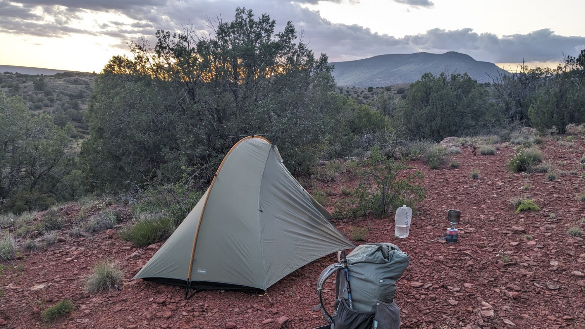
I didn’t see any people at all today, or yesterday either. It’s a pretty cool feeling to be so remote and yet so close to Sedona, which is a massive tourist destination.
What amazing scener
WWWhat
That flower is a tufted evening primrose. 🙂
I knew you would figure that out!