Monday May 6, 19.3mi/31.1km
Steamboat Tank (51.6/4700ft) to Dry Beaver Creek (70.9/3940ft) (Arizona)
It was super windy overnight until about 11pm and when I woke up, my sleeping bag was covered with a fine layer of sand. I ate my breakfast and then spent another 10 minutes shaking everything out. I finished packing up and noticed the view around me. Sweet.
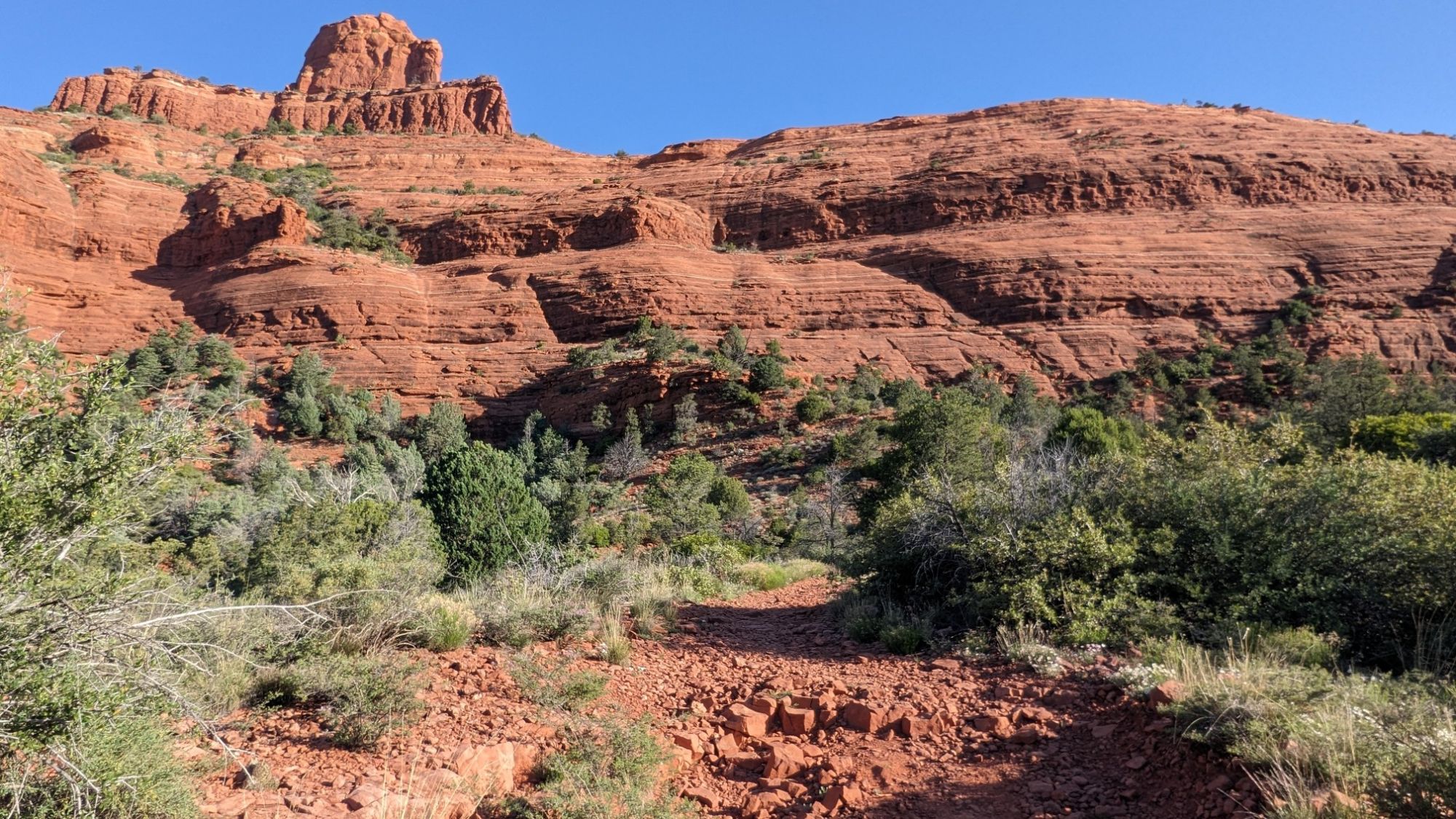
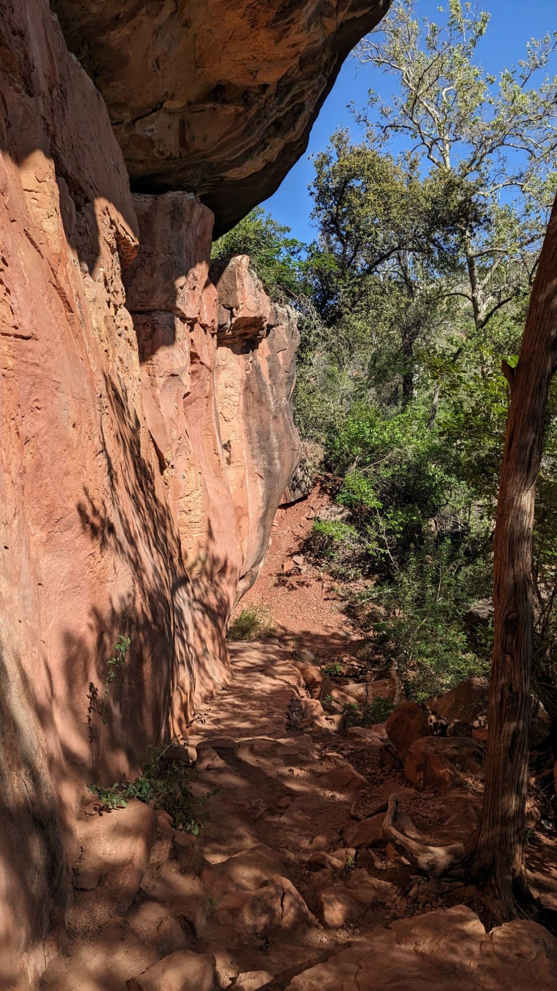
I hiked another mile and a half on the Sedona trail network, slowly dropping down to highway 89A.
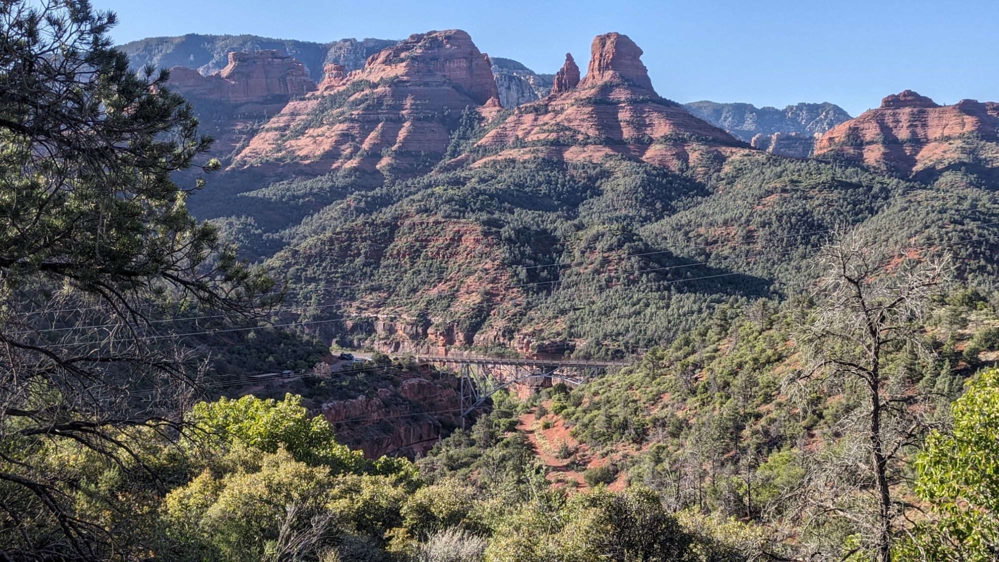
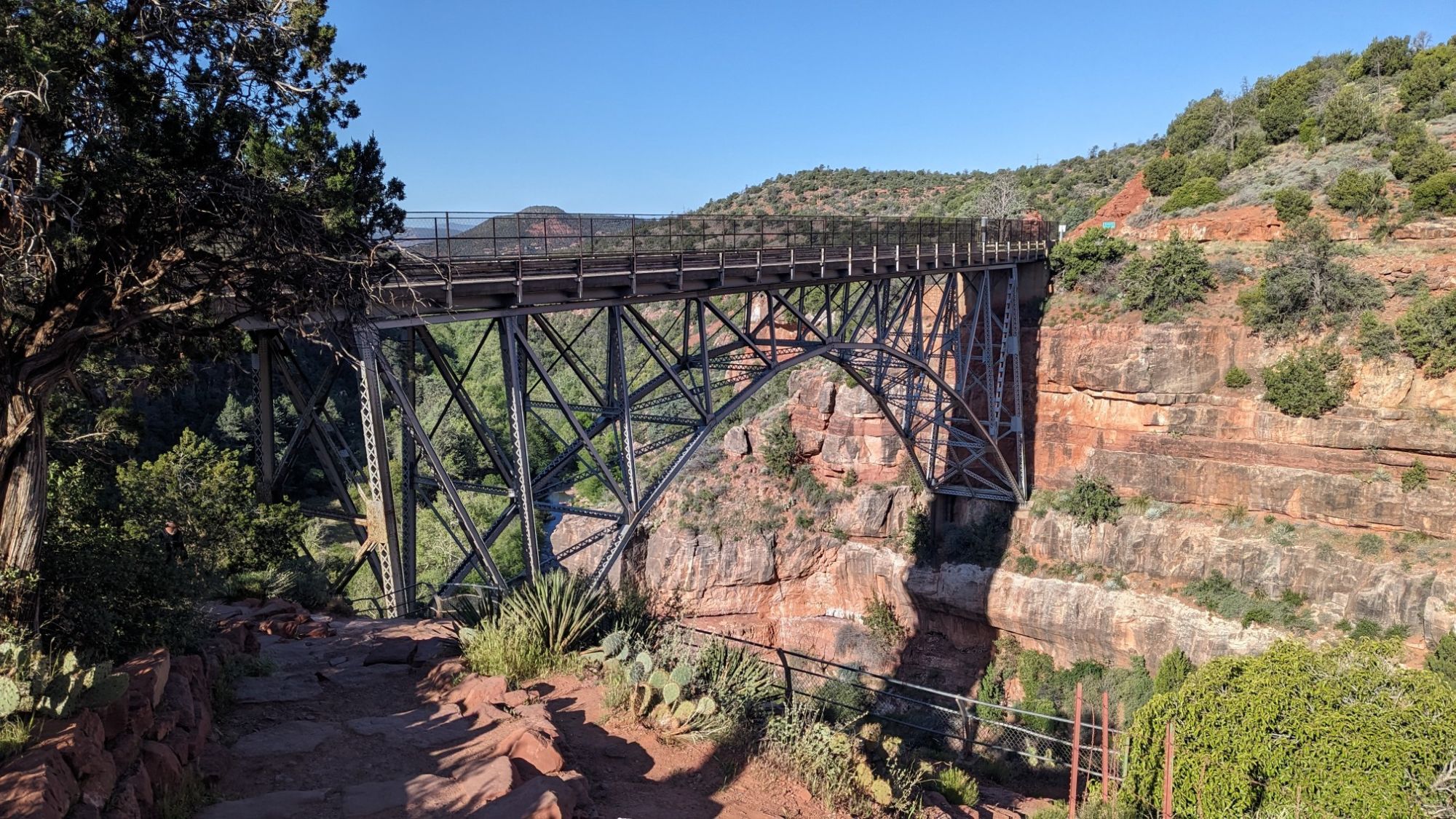
I came to the Midgley Bridge, what a cool arch single-span bridge. I downloaded a book about bridges which I’ll be reading at night in my tent.
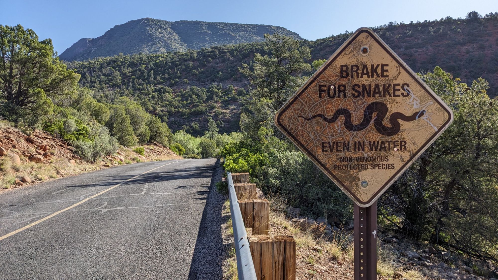
I crossed under the road on a trail and then the trail followed the road for a mile before coming to a little day use picnic area called Grasshopper point. Brake for snakes!
There were a couple of cars at Grasshopper point, but I didn’t see any people as I continued on the trail along Oak Creek.
Pretty soon I had to cross Oak Creek, which was a real ford and was almost knee-deep in very cold water.
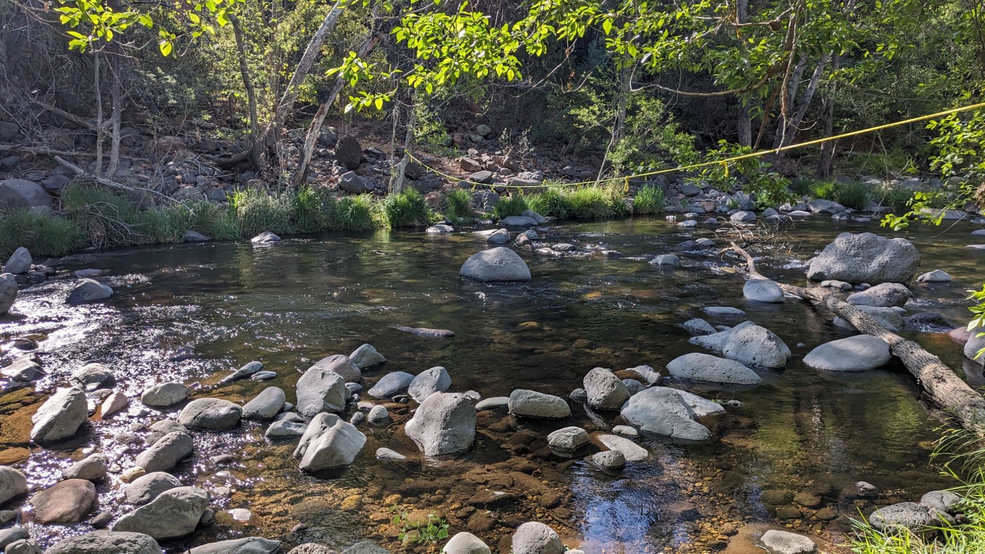
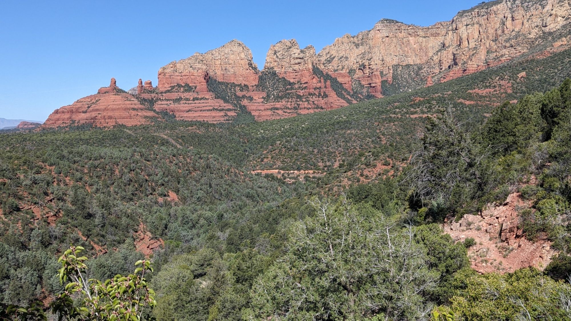
I took a break by the stream and refilled all my water bottles, knowing it would be the last water I would see for quite a while, probably 16 miles. From here I climbed up on a nice trail a few thousand feet up to Schnebley Hill, which was really more of a Mesa. Every so often I would look behind me and get a glimpse of the Sedona Red rocks I was leaving behind.
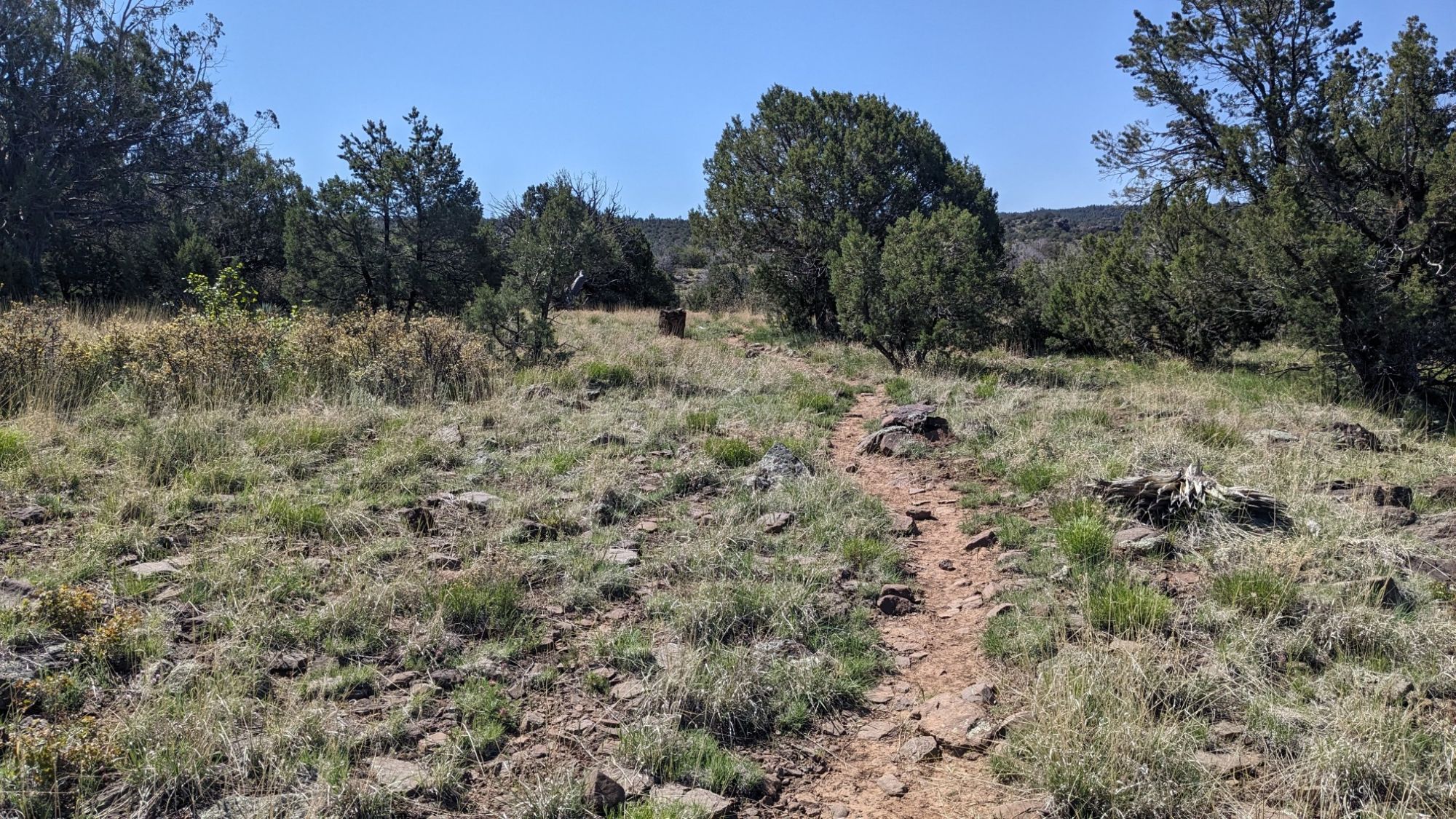
The trail going up wasn’t too bad with very little brush. Once I was on top of the mesa, the terrain opened up and it was easy walking with lots of basket cairns to follow.
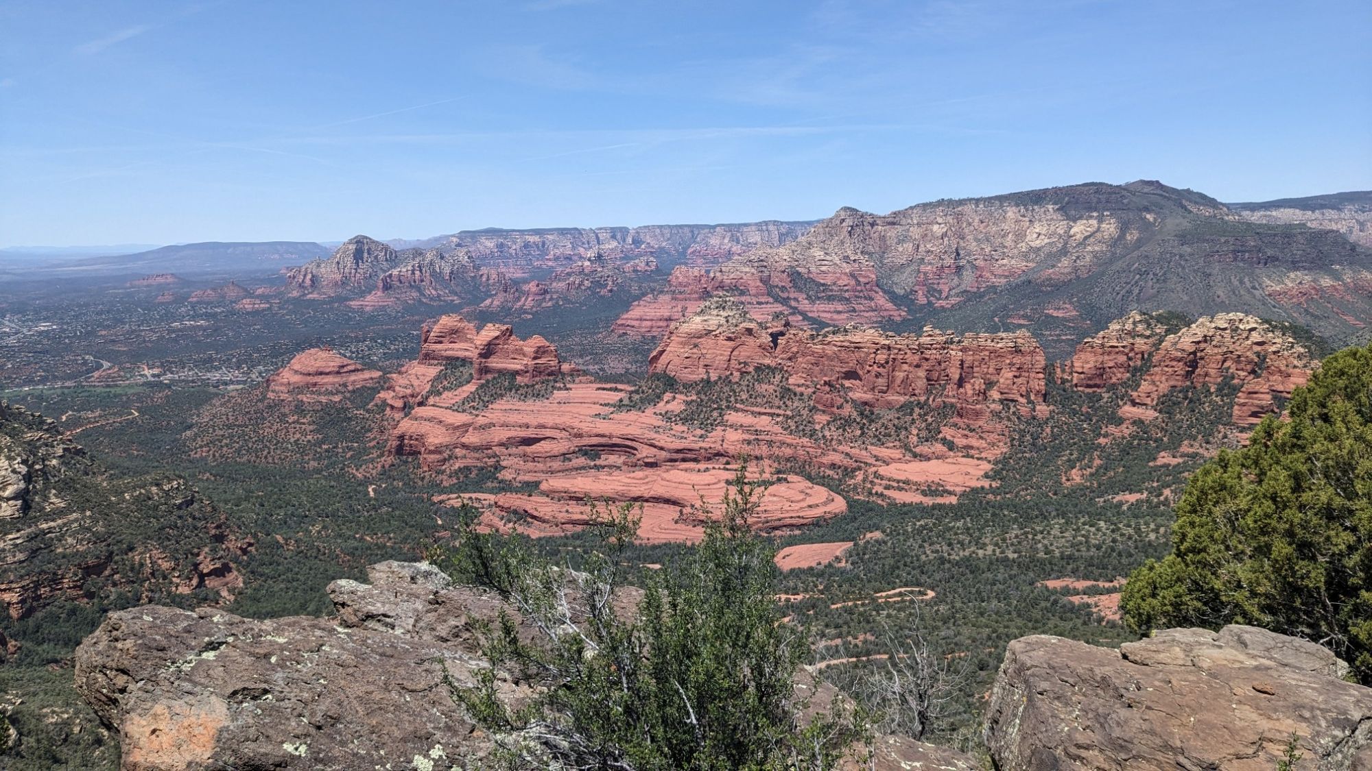
The view from the Schnebley Hill lookout point was pretty amazing.
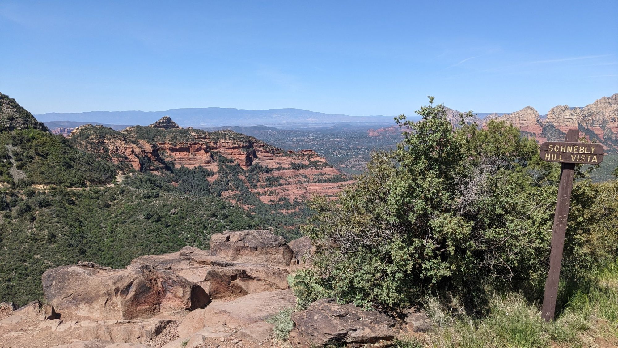
I saw a few other people arrive in cars, apparently it’s possible to drive this rough dirt road up to here. I hiked the rest of the morning alternating on rough roads and through nice Ponderosa pine forest.
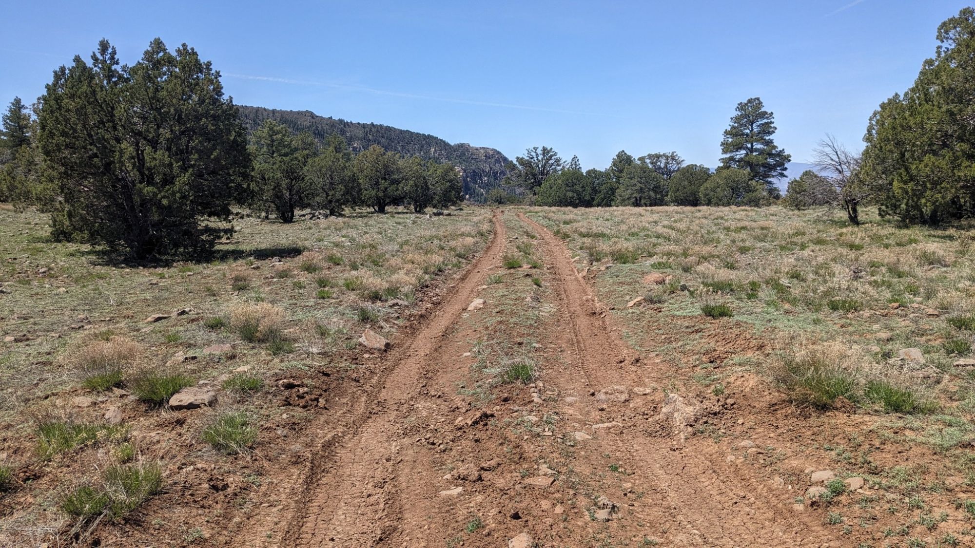
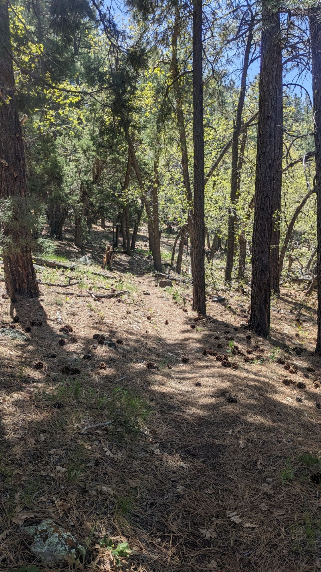
My route basically followed the edge of this rim, so there were occasional viewpoints. A little behind me, I could see the San Francisco peaks to the north, which are the highest in the state.
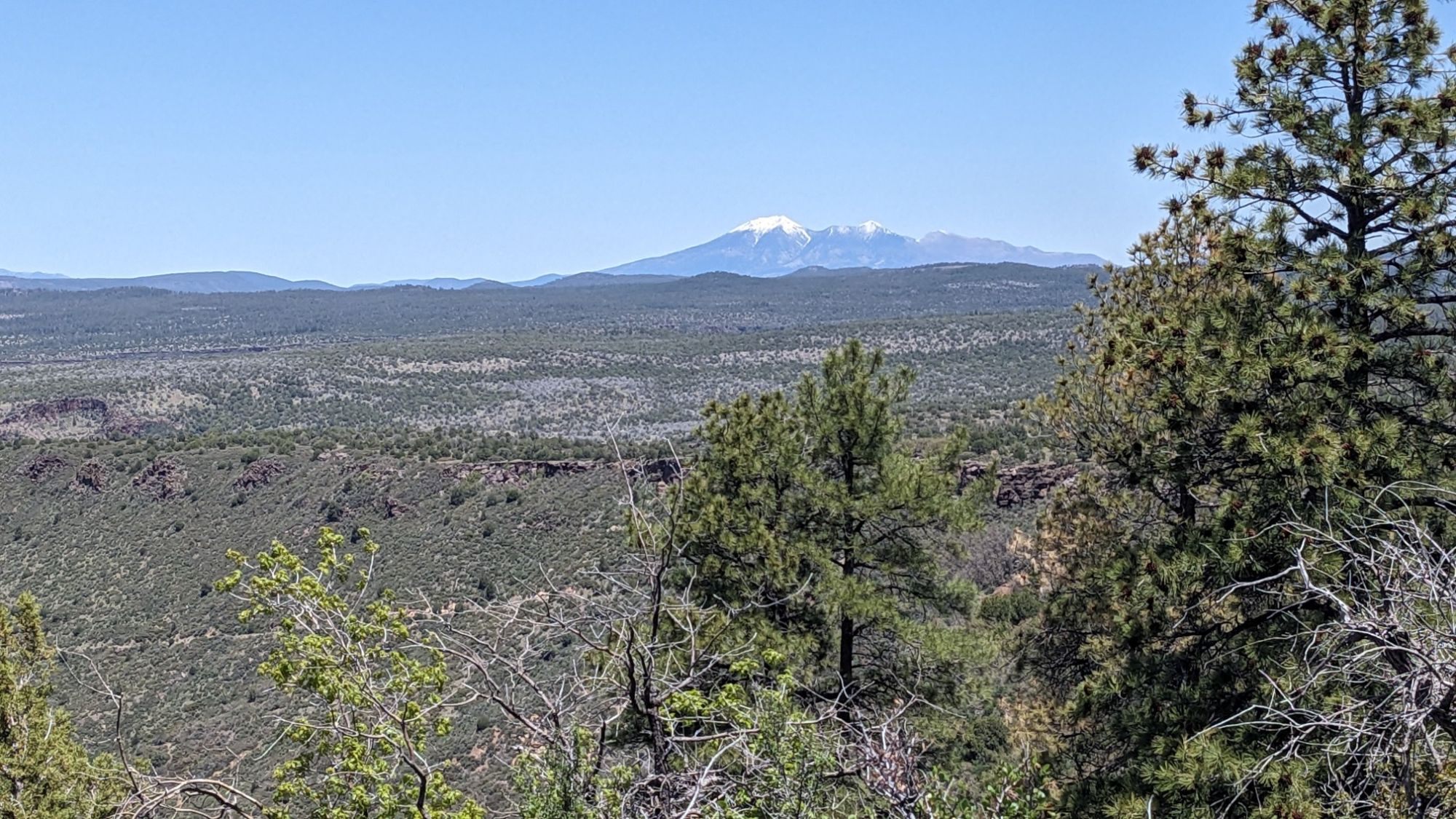
And I could still see, far below me, the red rocks of the Sedona area.
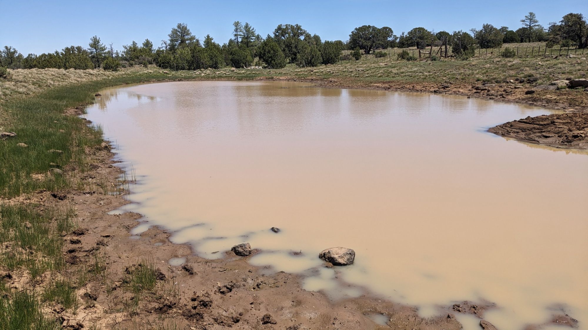
I stopped for lunch at a stock pond under the shade of a juniper. I checked out the water and decided to skip this one.
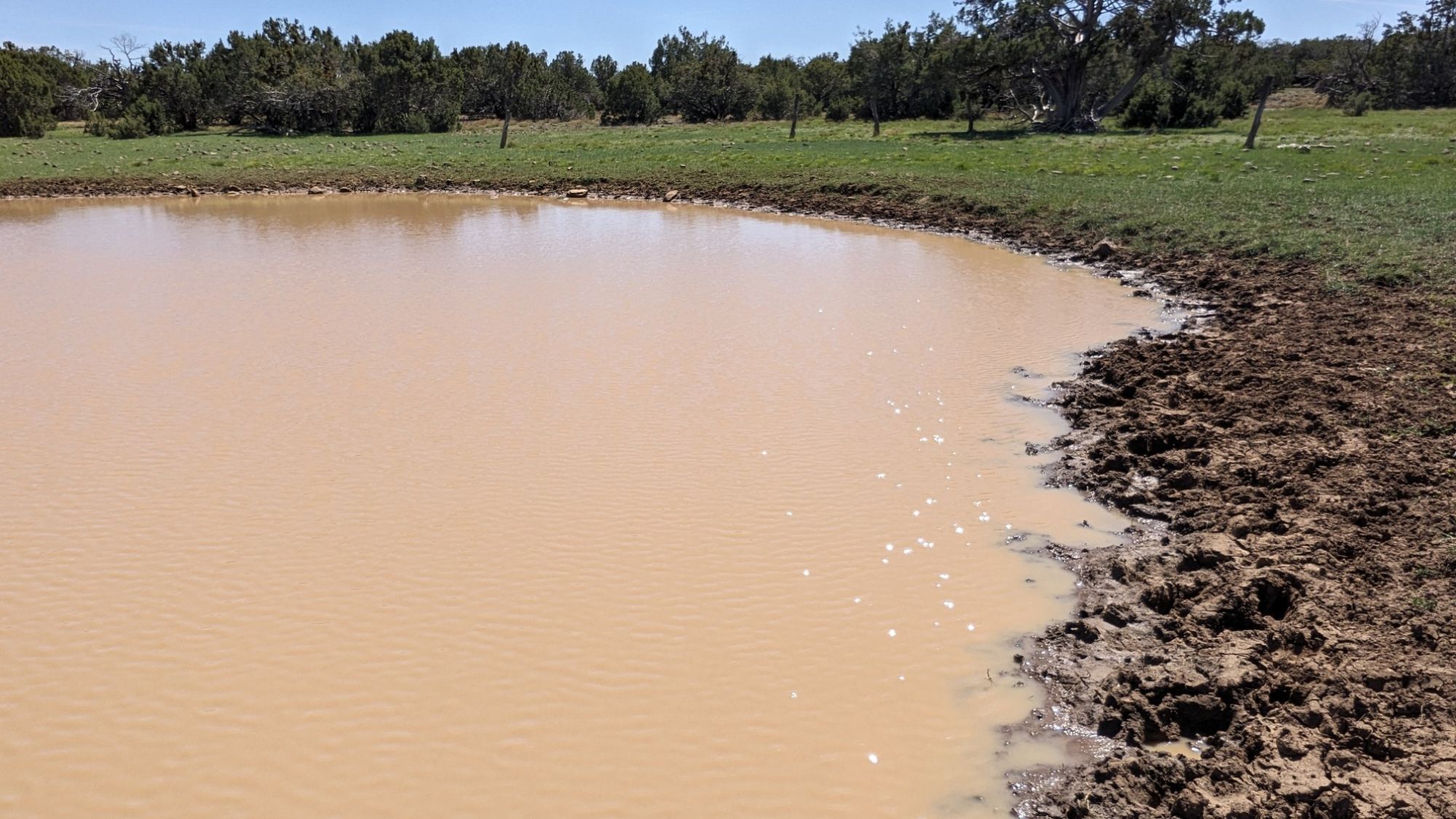
I had a nice long lunch while recharging my phone with the solar panel and eventually continued on. I joined up with a trail called the “Hot Loop trail” which was easy to follow with all the basket cairns, but a little rocky. The next water source looked equally gross and skippable.
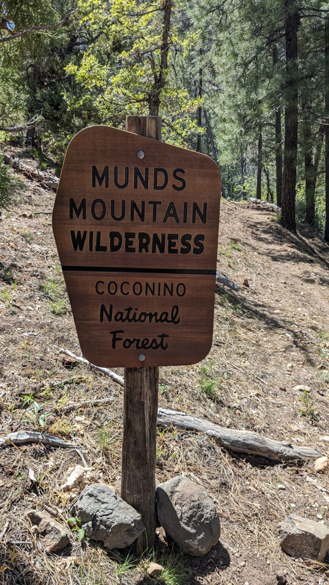
I soon dropped off of this mesa, down to a lower one called Horse Mesa. Just as I was starting the descent, I entered a new wilderness!
Horse Mesa is on the right, Pine Canyon is on the left.
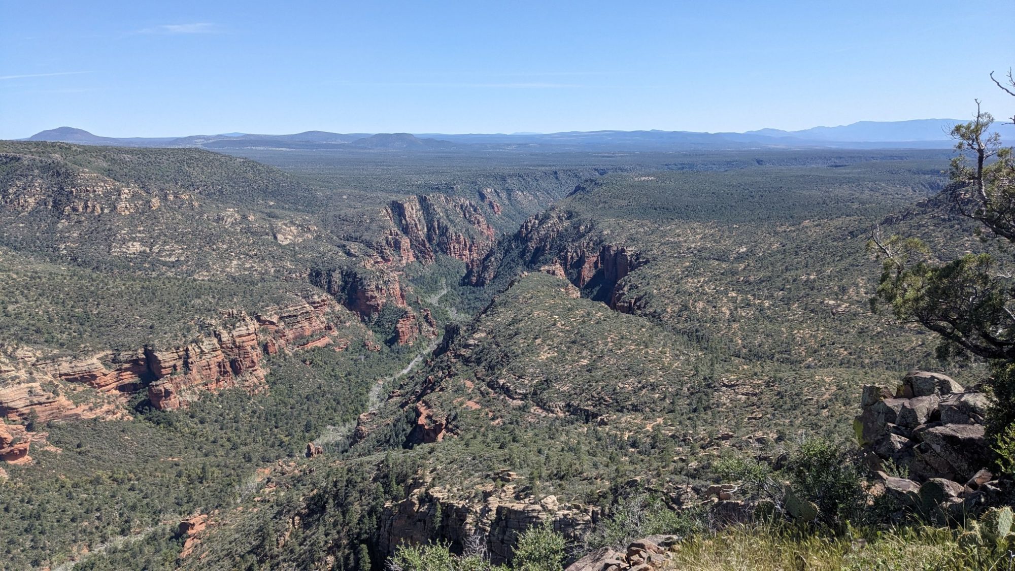
The descent started off a little brushy but after only 10 minutes it cleared up and was easy walking.
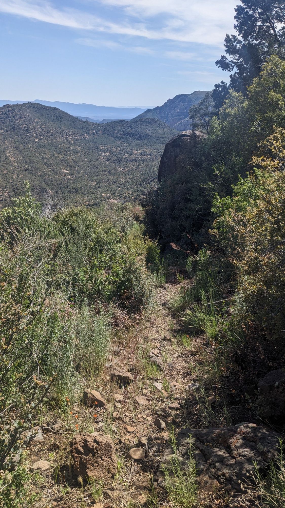
I walked along Horse Mesa for a few hours, and occasionally it was slow going to try to find the vague trail amongst all the rocks. As I got toward the end of the mesa, the trail became less rocky and a little easier to follow in the grass.
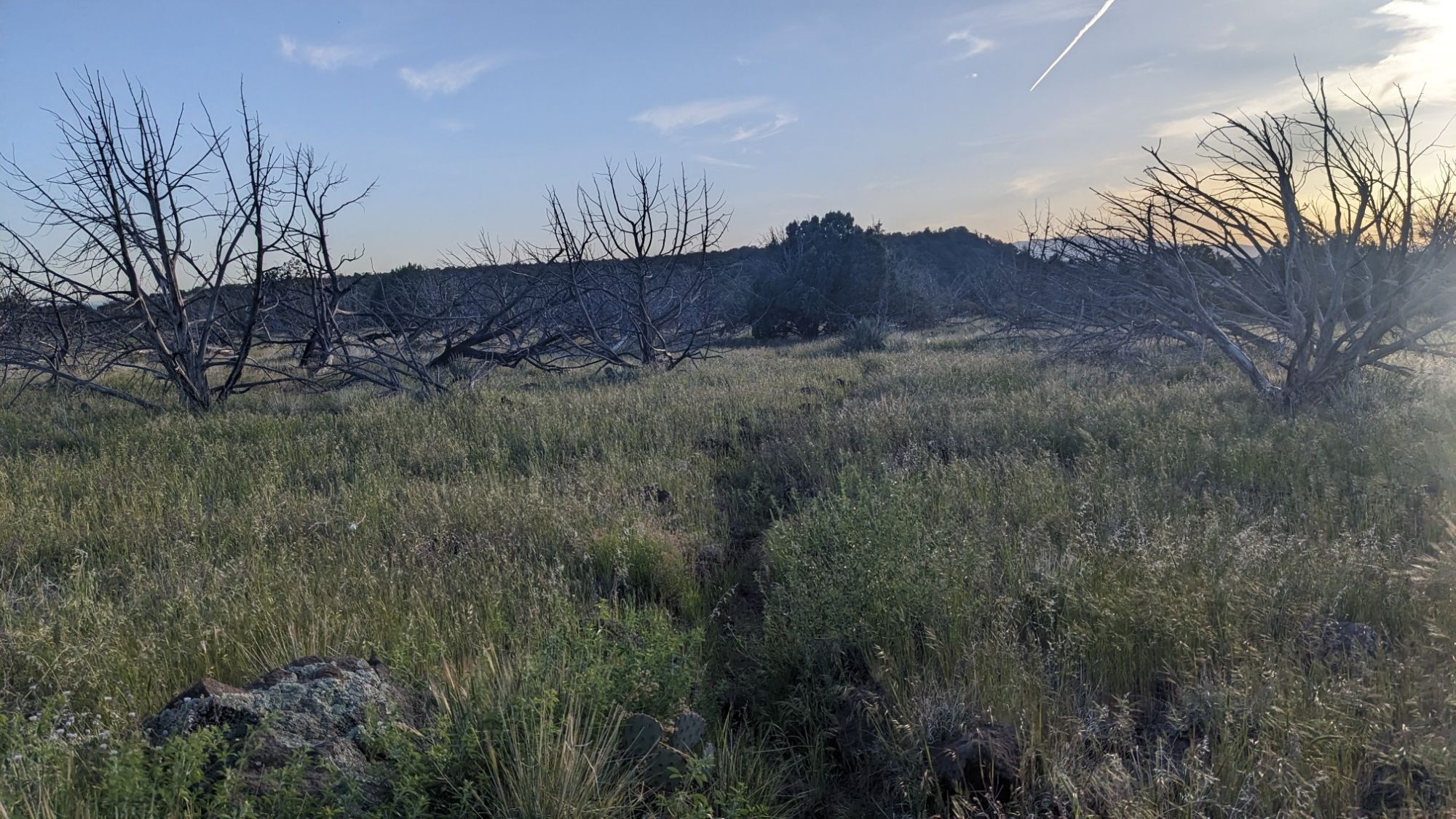
It was nearing the end of the day, and I noticed this mesa was still quite rocky and it would be hard to find a camp spot. I decided to continue on the Hot Loop trail another couple of miles, where it would descend off the mesa and down into a canyon. It worked! I met up with the Dry Beaver Creek drainage, and found a nice camp spot under some junipers.
What a variety of topography! Magnificent mesas & ponderosa pines!