Tuesday May 7, 21.4mi/34.4km
Dry Beaver Creek (70.9/3940ft) to Apache Maid Trail (90.7/5190ft) (Arizona) +1.6mi to Ranger station water
I left my cozy little camp spot just before 7am and immediately started searching for water in the creek that I was following. The few spots that I could see were dry, so I had to take a detour to the Ranger station to get water from the fountain.
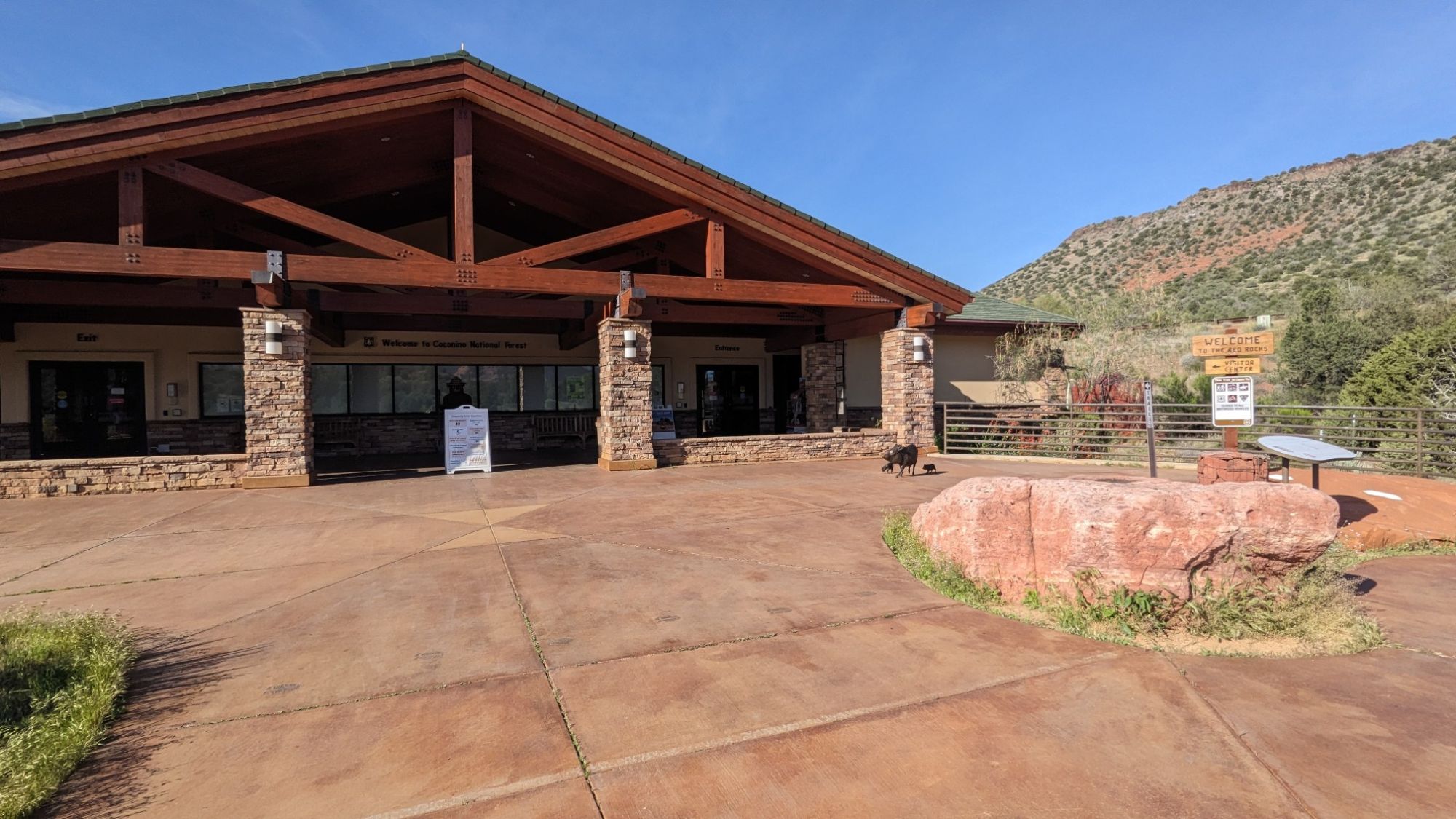
I filled my water bottles and plugged my phone into the charger. While I was waiting, I noticed there were tons of hummingbirds flying around. The Ranger said the one with the red throat was called a Calliope hummingbird, which is North America’s smallest bird. Cool! I walked back to the trail, and after a half mile I found a few pools of water.
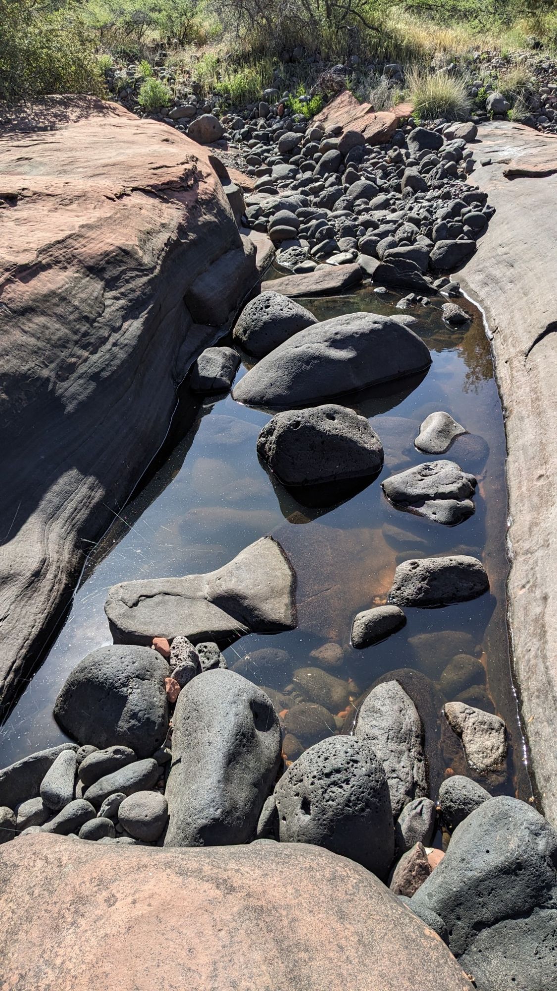
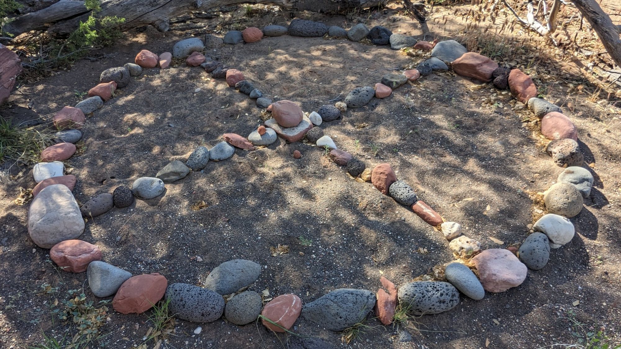
It seems my trip to the Ranger station was unnecessary, but at least I got to charge my phone and see a cool bird. I followed the wash for a little while longer and then at the point where I departed onto a trail, I saw this weird symbol in the rocks.
The description of “trail” was a little generous, as it was initially difficult to find and follow, though it did improve as I climbed up.
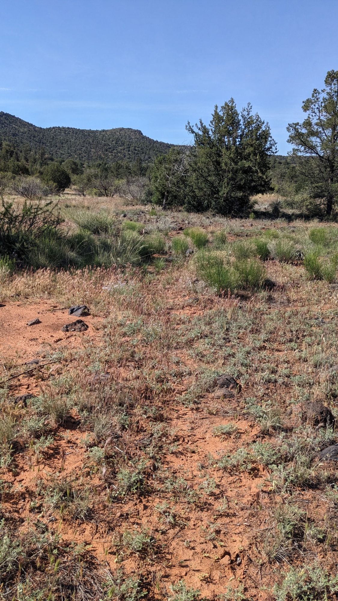
I spent an hour hiking slowly uphill in the increasingly warm temperatures. Near the top, the trail seemed to refuse to finish the climb, and parallelled just below the rim for like half a mile.
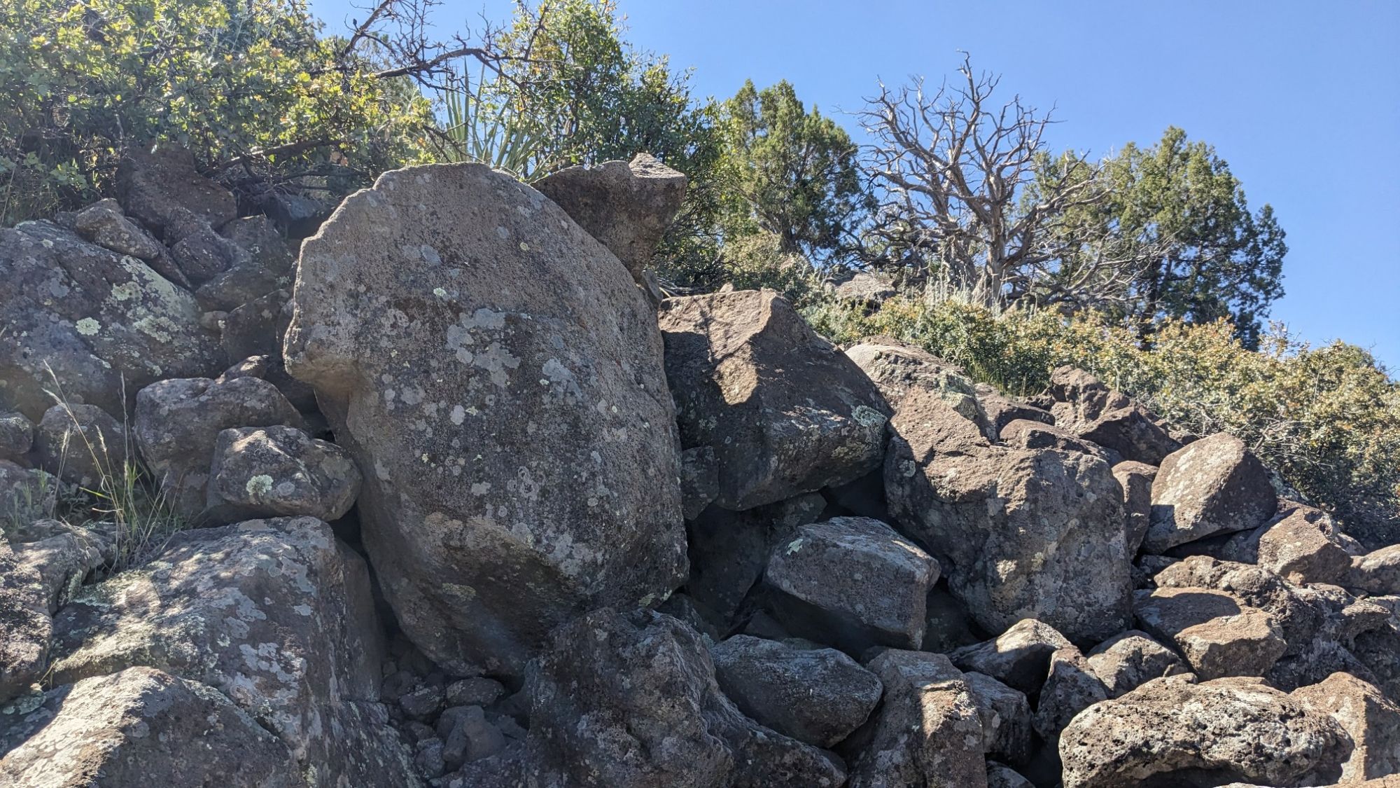
While I was meandering through that rocky terrain, I came across more wildlife, and this guy was very unhappy to see me.
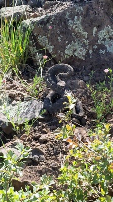
We had a standoff, as the snake refused to leave the trail. I tried asking him nicely, telling bad jokes…but he just hissed at me more. I replied, “I know you are but what am I”. Maybe I should learn parseltongue. I eventually just scrambled up some rocks to get around him, and then simply just popped out on top of the plateau.
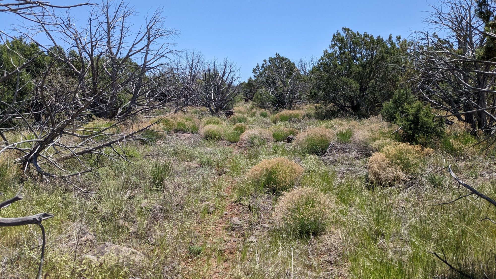
It was nice up on the plateau and I followed a trail called the Chaves Trail for a few hours. At one point, it approached the edge of the rim, and had a nice view spot so I stopped there for lunch.
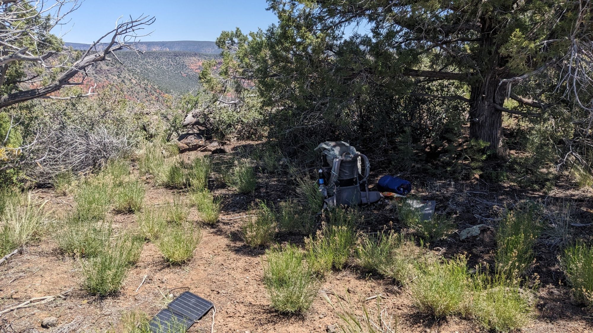
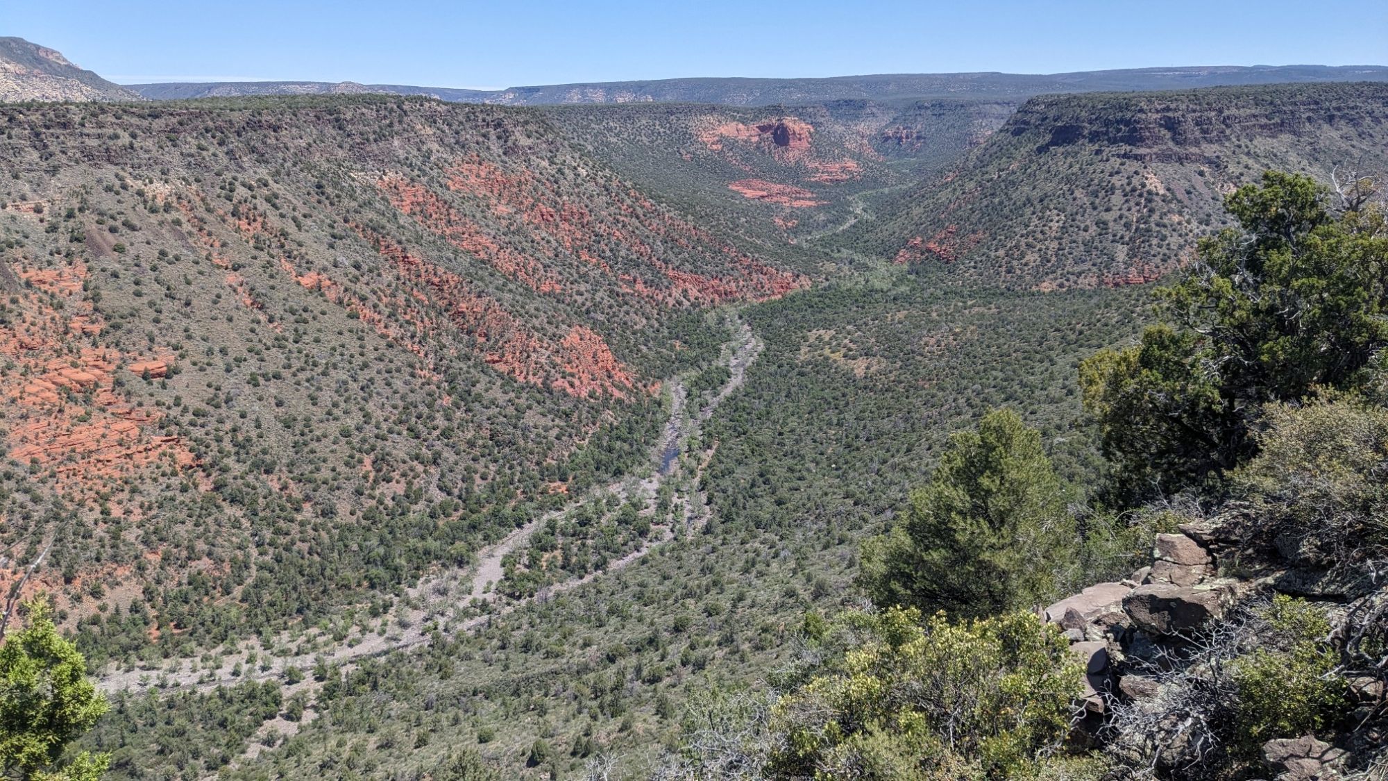
I could see down into the valley where I had been hiking this morning.
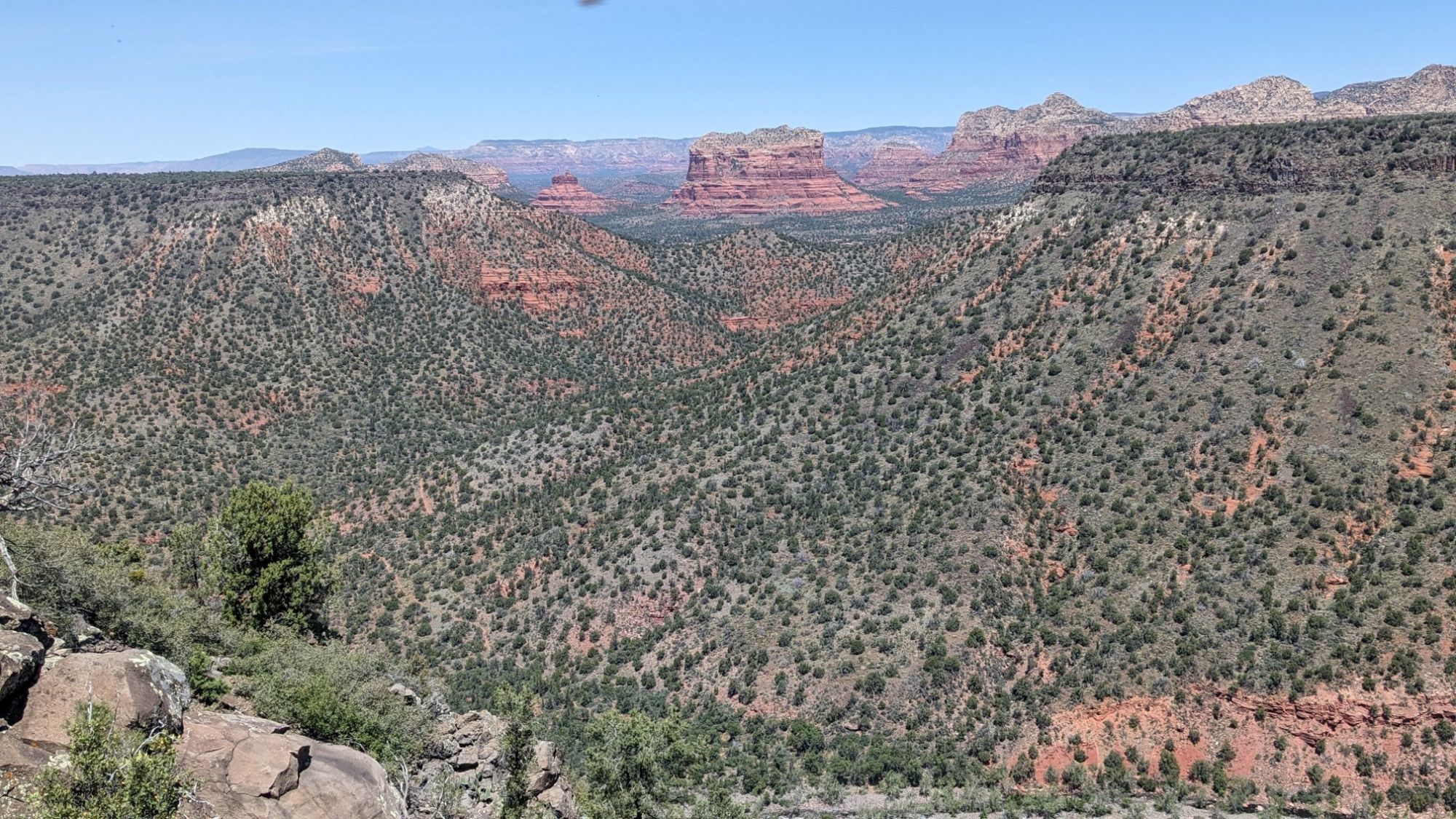
And I got one last look at the Red rocks of Sedona.
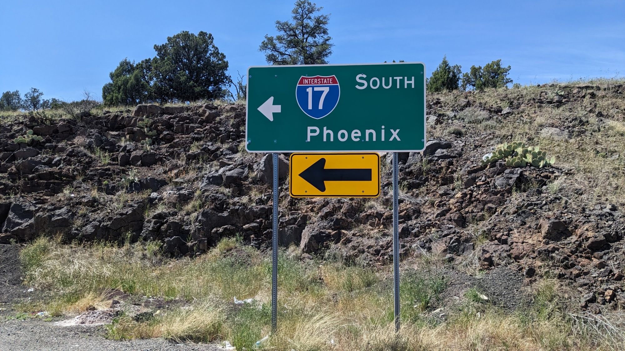
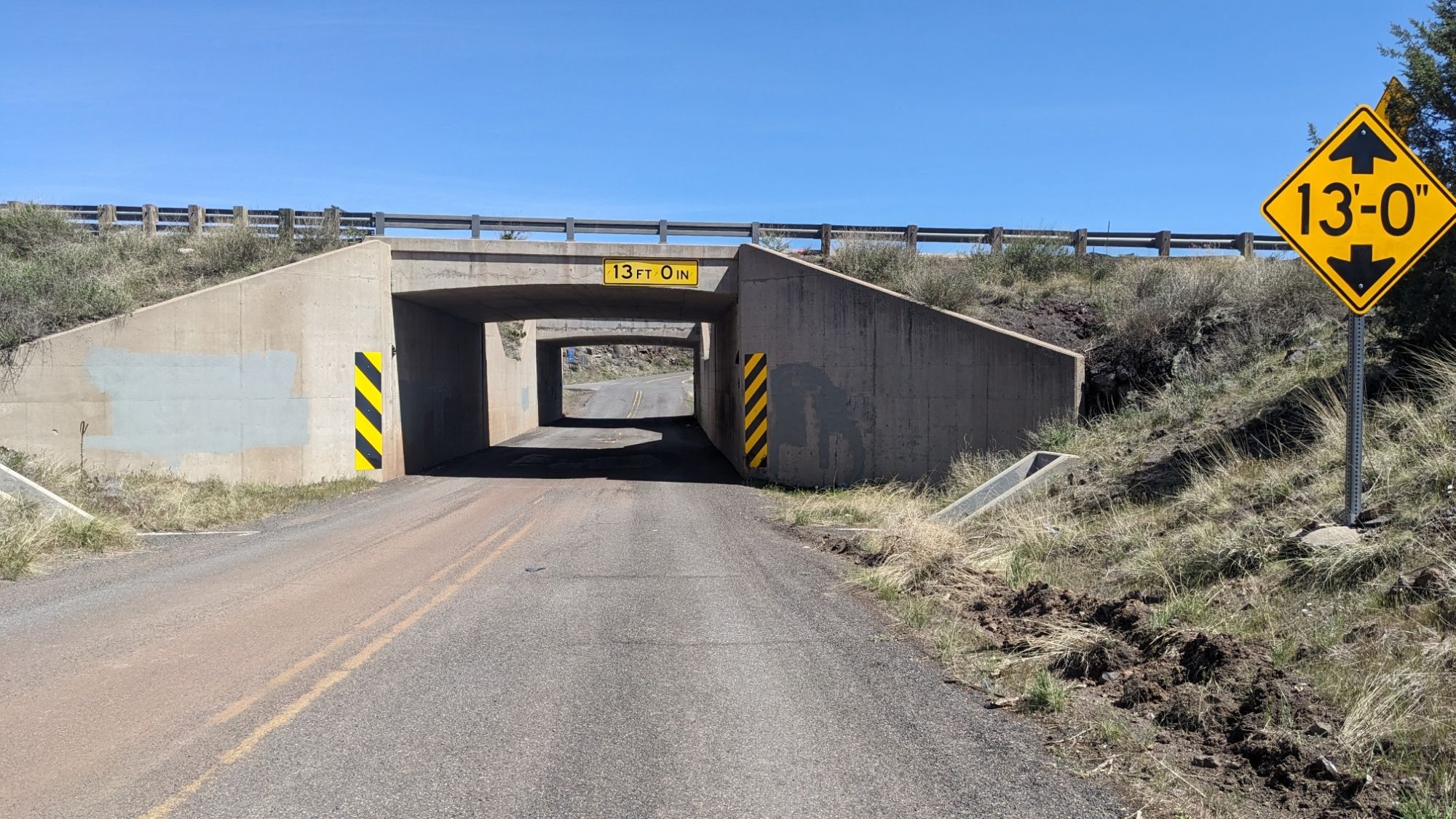
After lunch I had another couple miles on the Chaves Trail, and then I crossed under the i-17 interstate. It’s my only freeway crossing on this trail.
I walked on a paved road for like a mile and then a couple of dirt roads, where I found this homeless encampment.
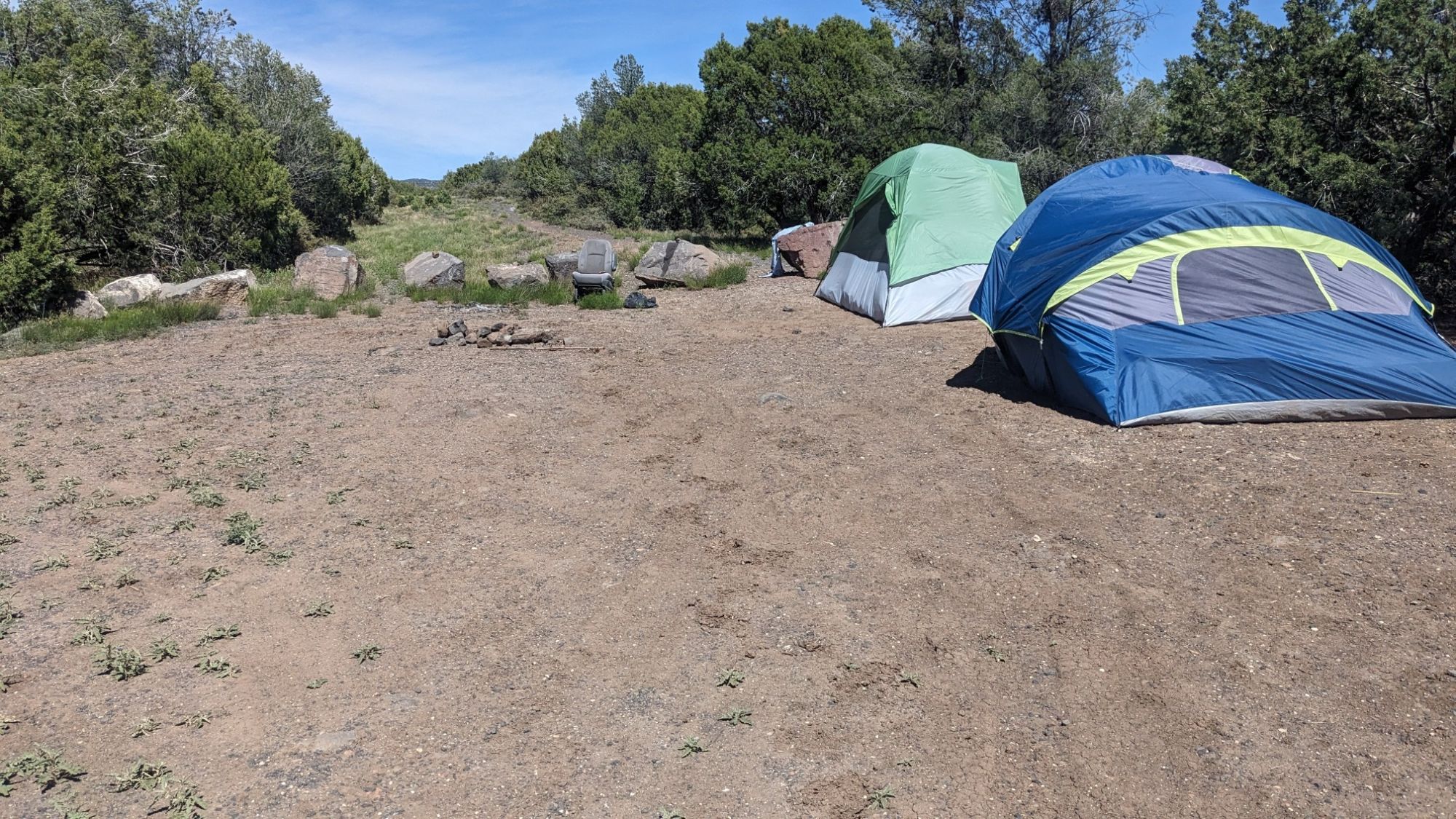
They were mostly blocking the road that I needed to walk, but I was able to get around. They seemed rather displeased to see someone just walking through their spot. About a mile later, I came to my first on-trail water source for the day.
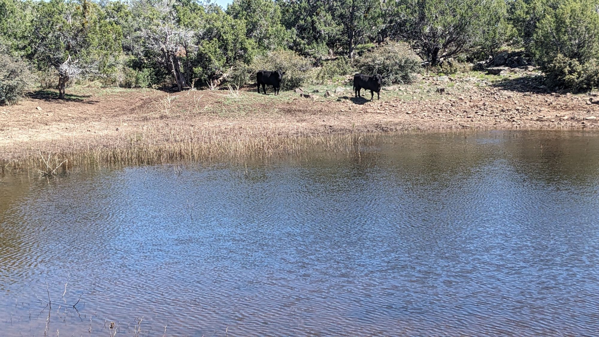
The water actually looked pretty nice, but then I noticed the types of cows that were hanging around. Bulls!
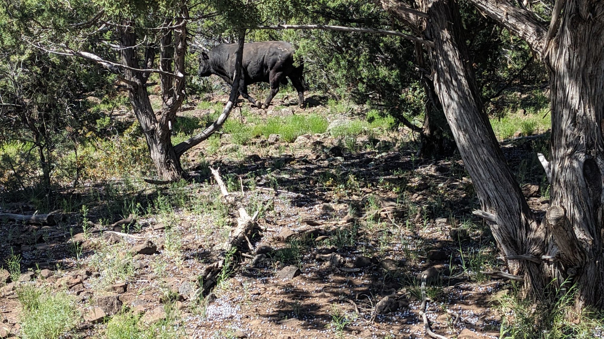
They were approaching me, and I decided to get out of there and I ducked under the barbed wire fence and kept moving. I soon joined another dirt road but this one was so rocky, I don’t think it could be called dirt.
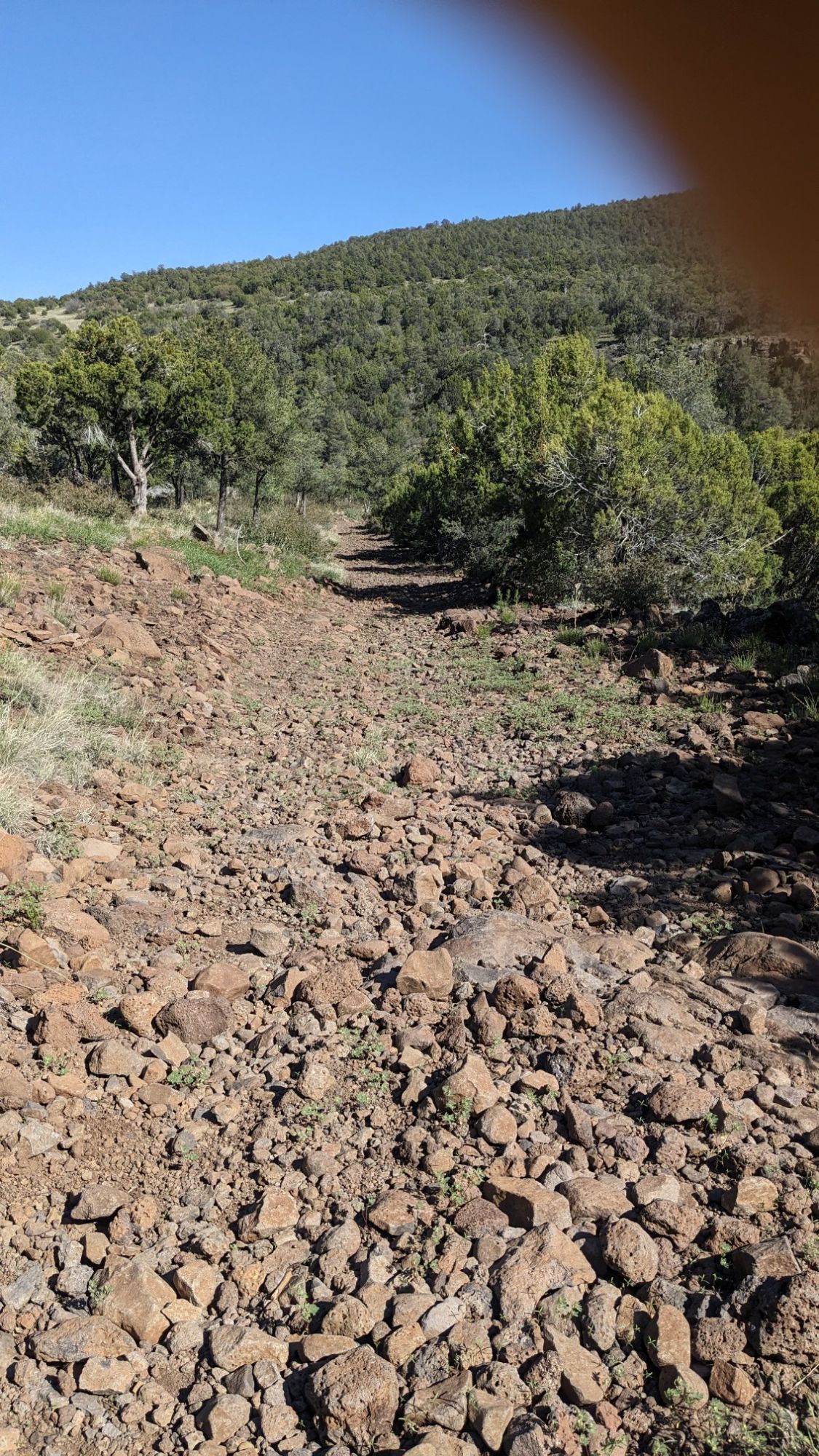
I love Rocky Road as ice cream, but not for walking. It’s great to eat, but not great for the feet! As the road climbed higher, the underlying geology changed and it became much less rocky.
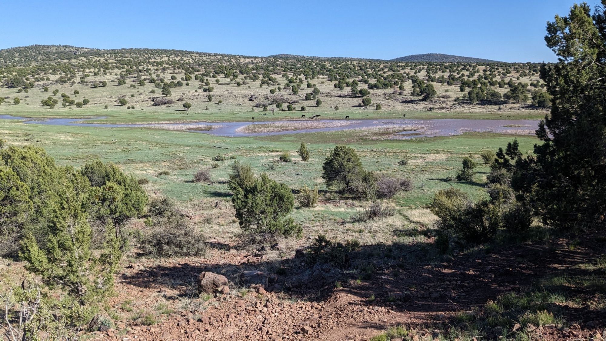
My next water source was huge, it was called Mullican pond. It looked like a lake! And it was also surrounded by cows, though fortunately none of these were bulls.
Soon after leaving this wetland area I saw two creatures sprinting across the landscape. More wildlife!
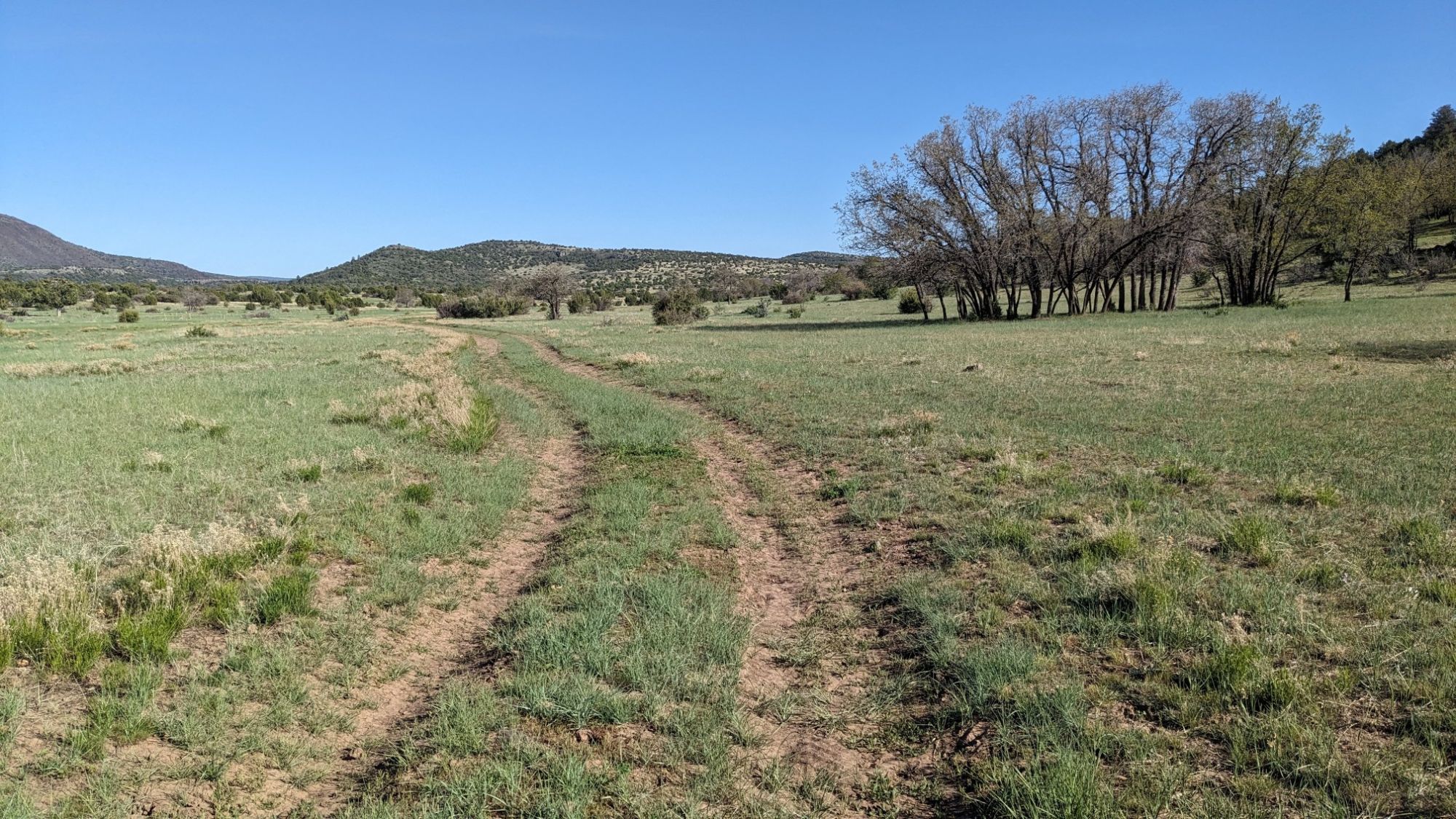
The rest of the day was a very pleasant walk on an easy dirt road, occasionally passing by small ponds.
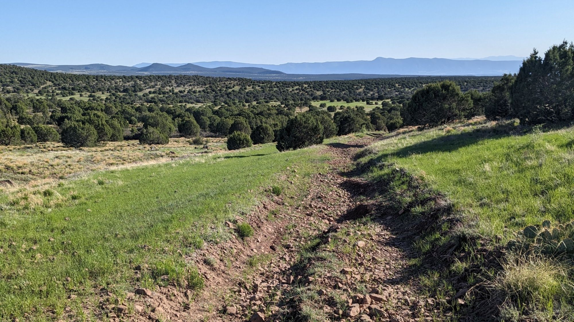
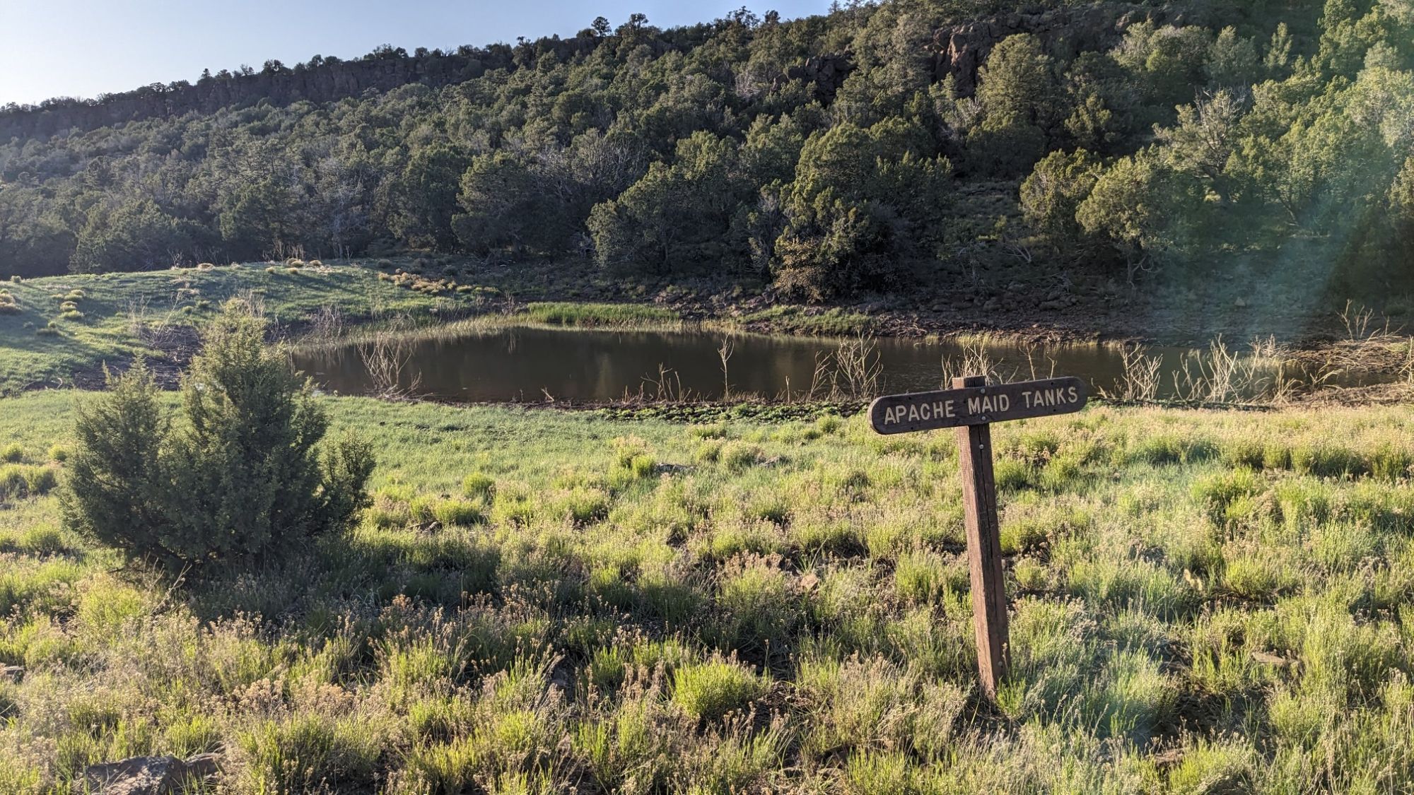
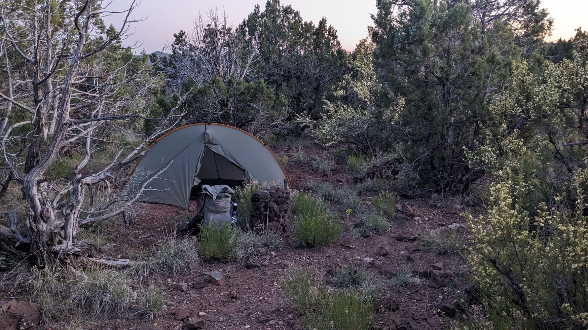
On my map I saw that I would soon be dropping into a massive canyon, so I decided to stop and camp just before that so I wouldn’t be committed to two more miles of walking. I found a spot amongst the rocks and junipers just barely large enough for my tent.
I think today’s final tally for wildlife is five types. Hummingbird, Rattlesnake, Wild humans, Bulls, Elk(?).