Friday May 17, 23.9mi/38.5km
Williams Ranch Bdy (245.2/6600ft) to Near Joe Tank Rd (268.9/6590ft) (Arizona) +0.2mi water searching
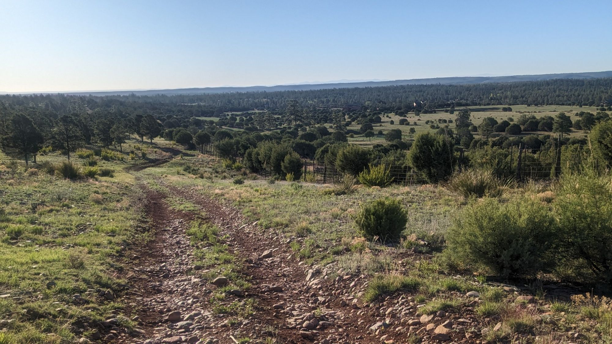
I could tell it was going to be a hot day when I left camp at 6:30 and it already felt warm. I hiked along the Williams ranch for a little while, noticing their gargantuan fence to keep out the wild horses.
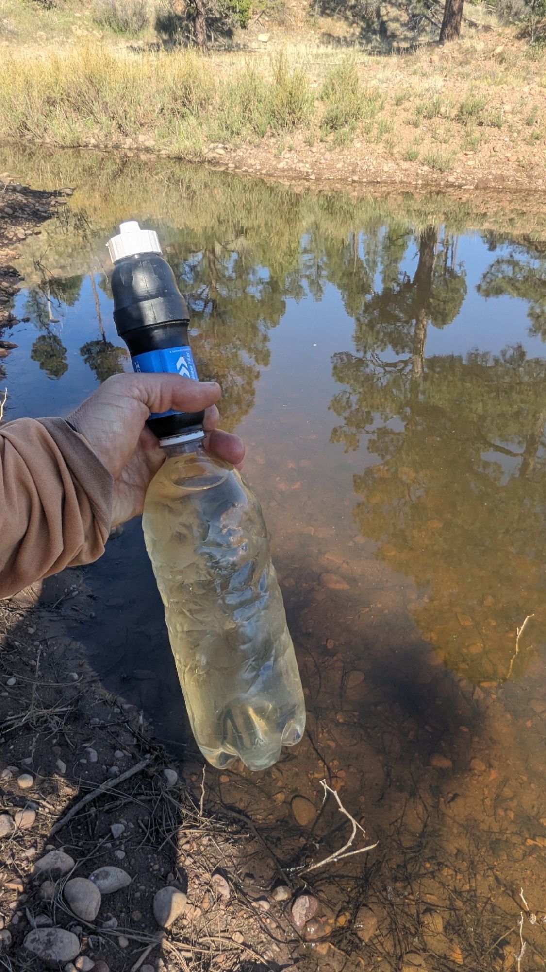
I came to Cottonwood wash, my first water source for the day. While it wasn’t silty, the water seemed a little thick with aquatic life.
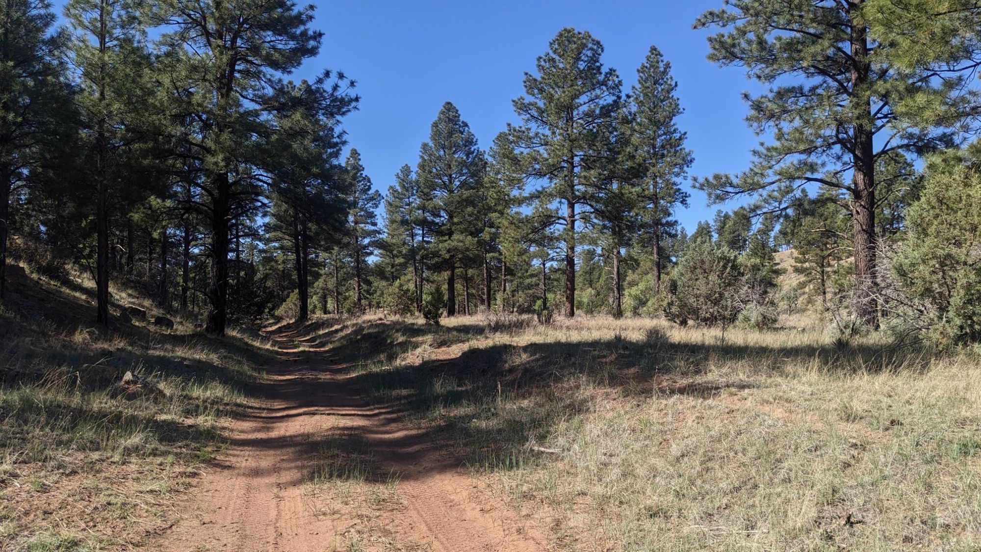
It was nice to hike in the shade of the trees as I made my way up Cottonwood wash.
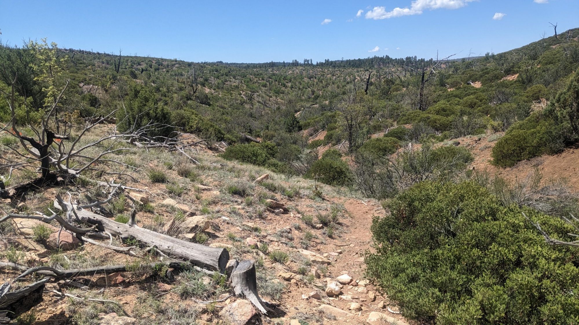
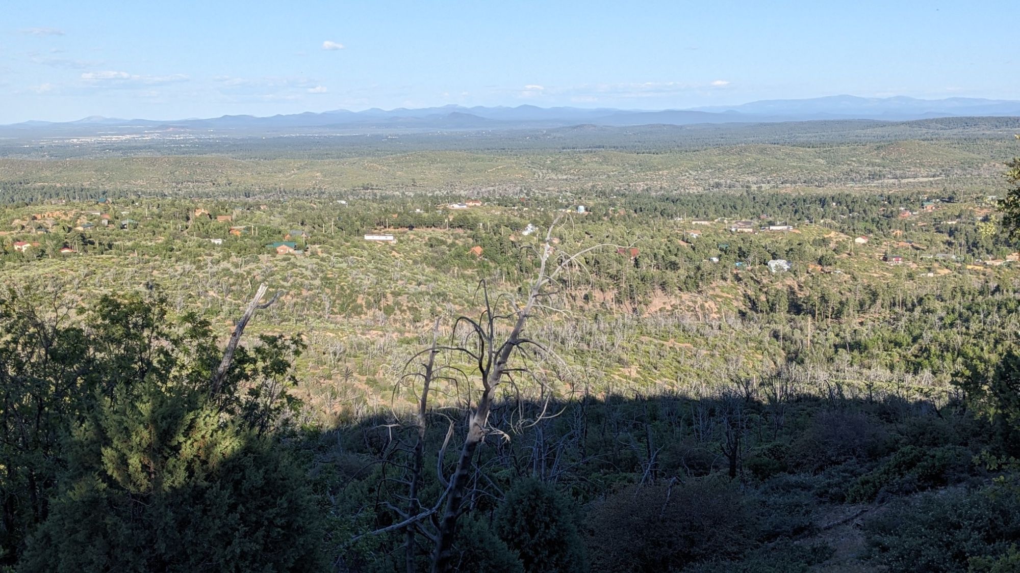
But pretty soon the trees ended, and for much of the day I would be hiking in a massive burn area from 2002. This is also when the roller coaster started. I would hike uphill…
… Only to come right back down within a mile.
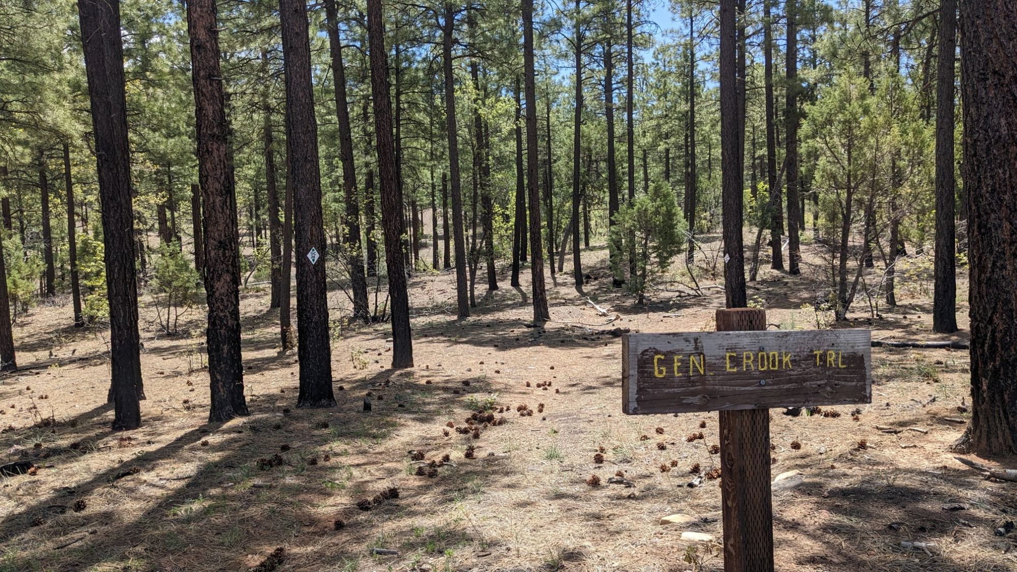
As I hiked westward and got closer to Show Low I noticed trail quality improved. There were signs too!
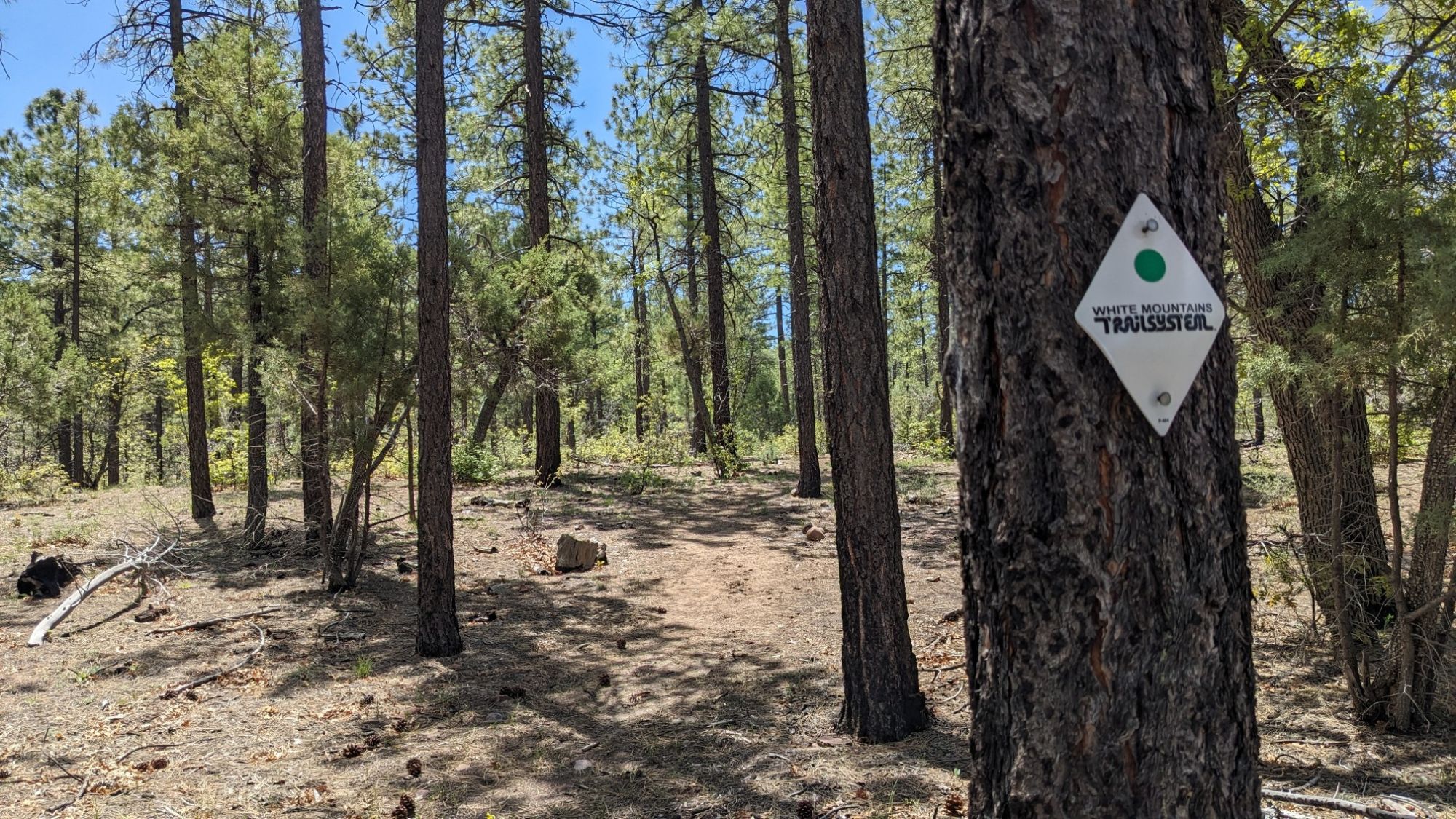
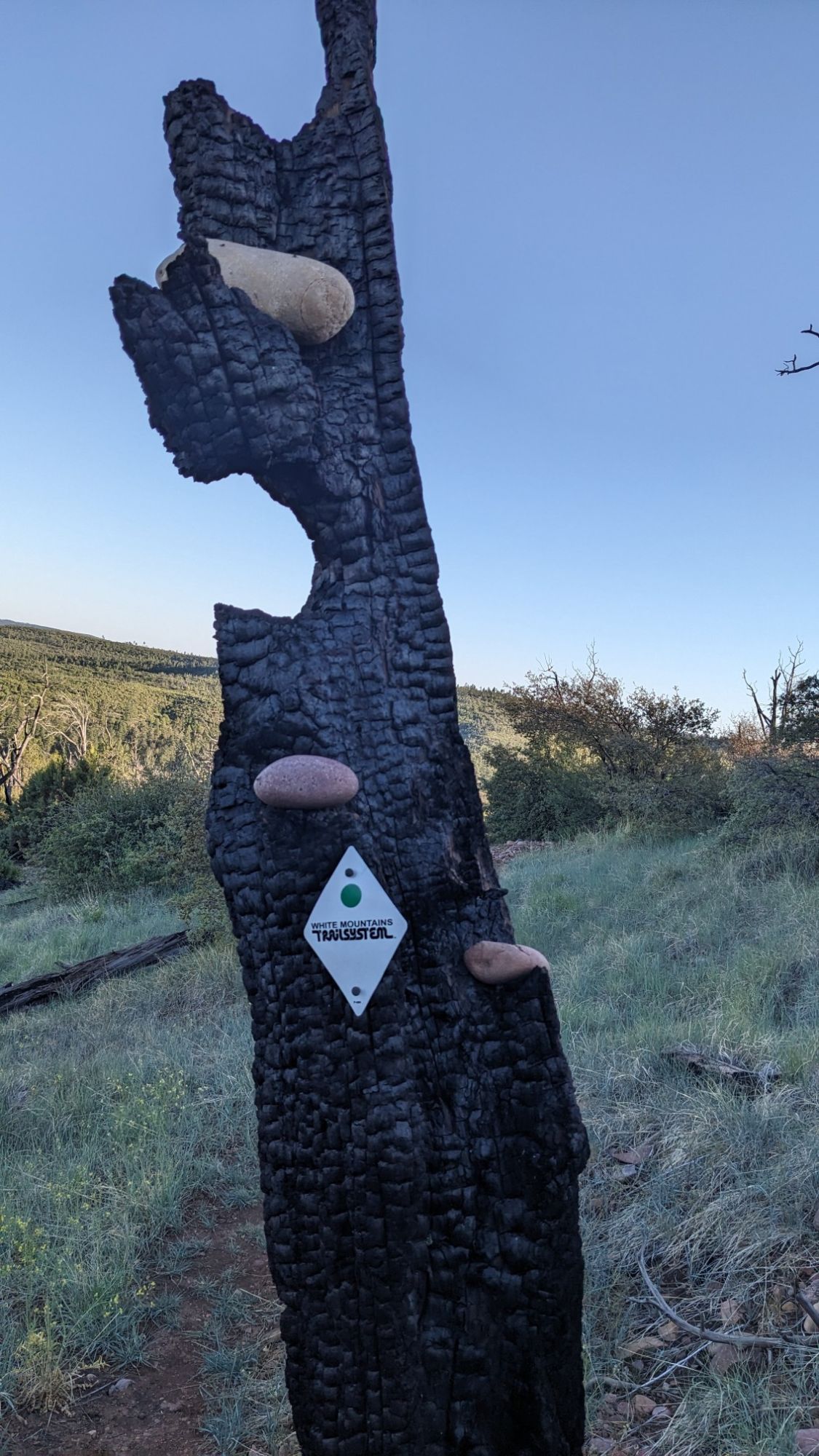
And then of course I climbed another uphill, which also had a nice set of trail markers, “White Mountains Trail System”.
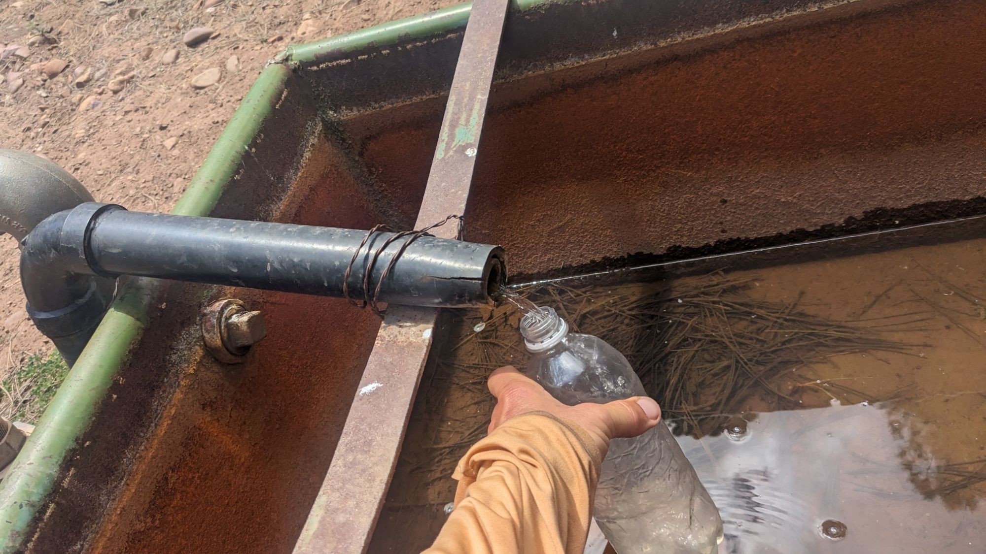
After another downhill to complete that cycle, I came to my first good water source for the day. It was a piped spring, and I was able to fill my bottle directly from the hose which was nice.
Since it was almost lunchtime, I decided to eat there and drink as much water as possible since I didn’t want to have to carry extra water. The afternoon was full of scenic hiking, but without the tree cover it was pretty warm.
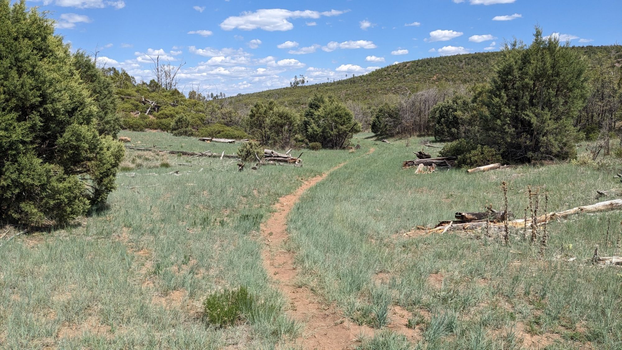
Some small pockets of forest had escaped the 2002 fire but mostly it was in the sun.
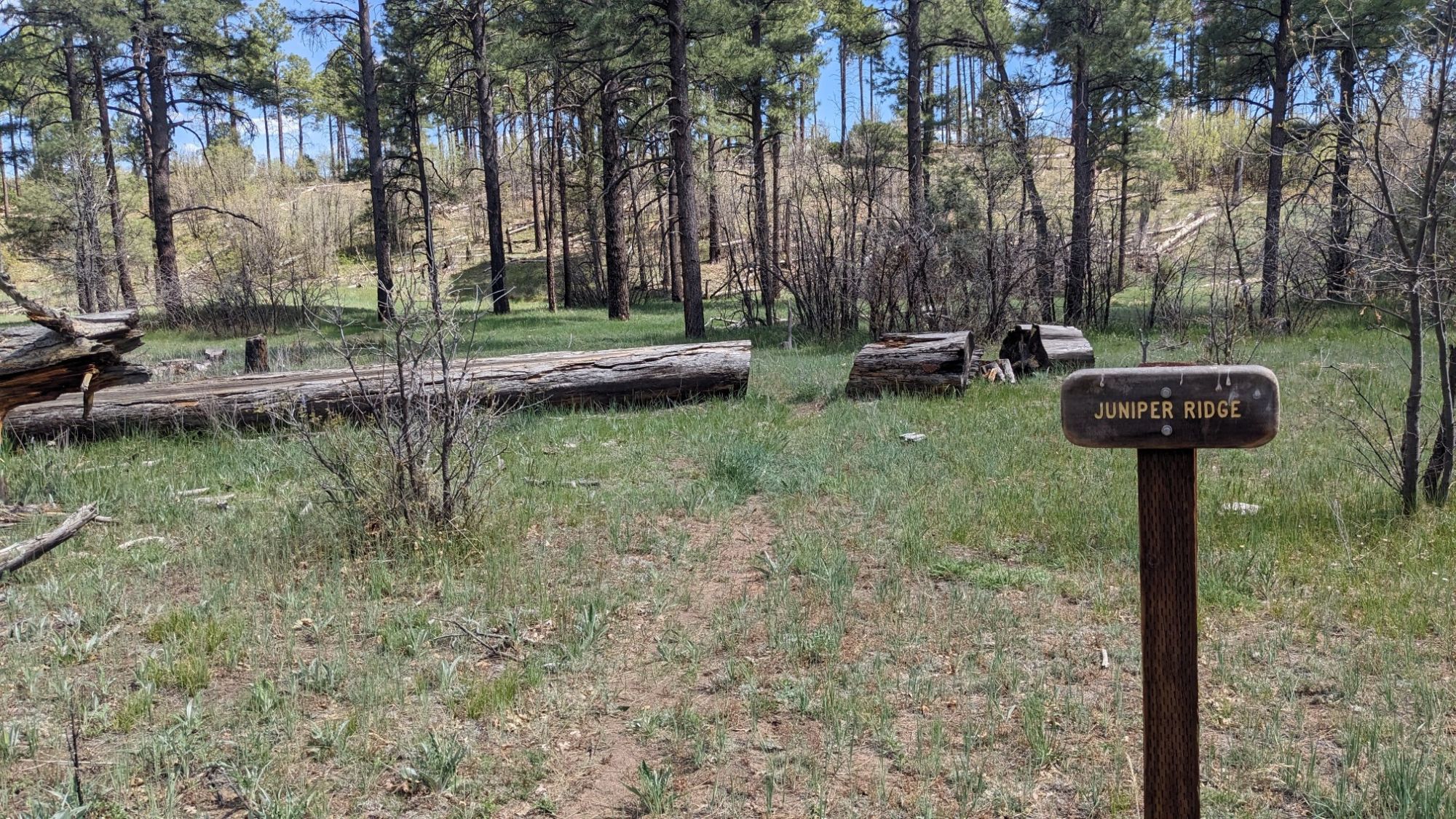
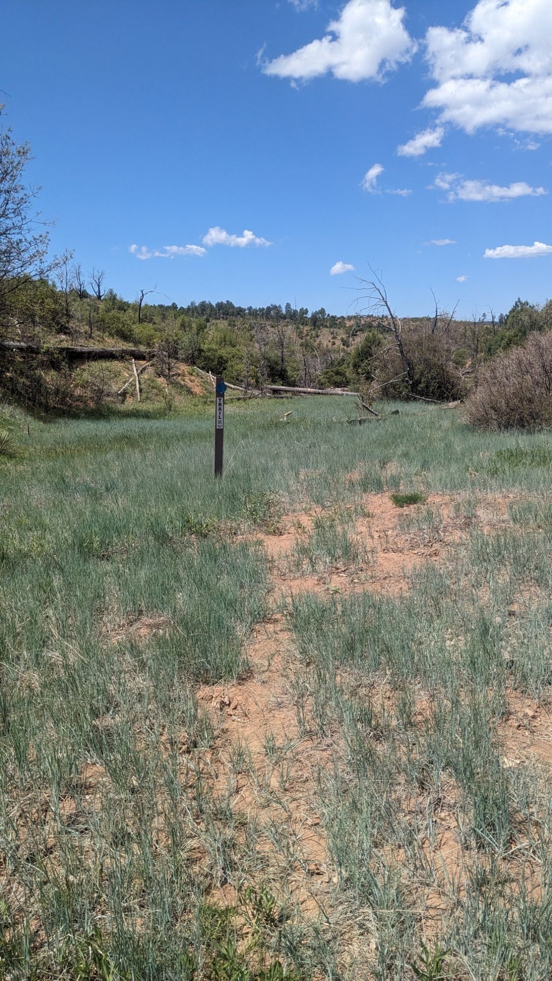
After another climb I descended through this nice grassy valley.
And finally I came to my last water source for the day. It was a nice little riparian area with some pretty decent water.
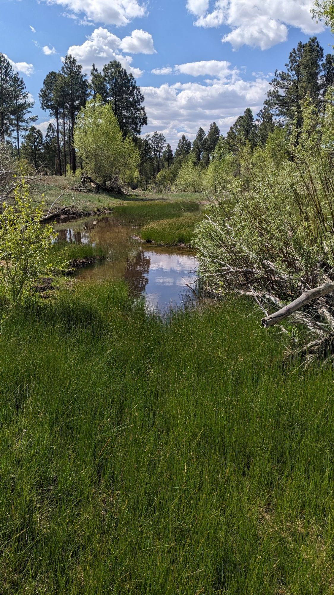
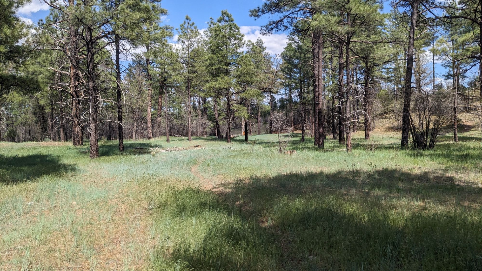
I don’t expect to see any good clear water between here and town tomorrow, a stretch of about 25 miles. I filled up a third liter and made my backpack heavy. Hiking back uphill, I soon arrived at a trail junction, the signage was a little confusing. A shortcut to what?
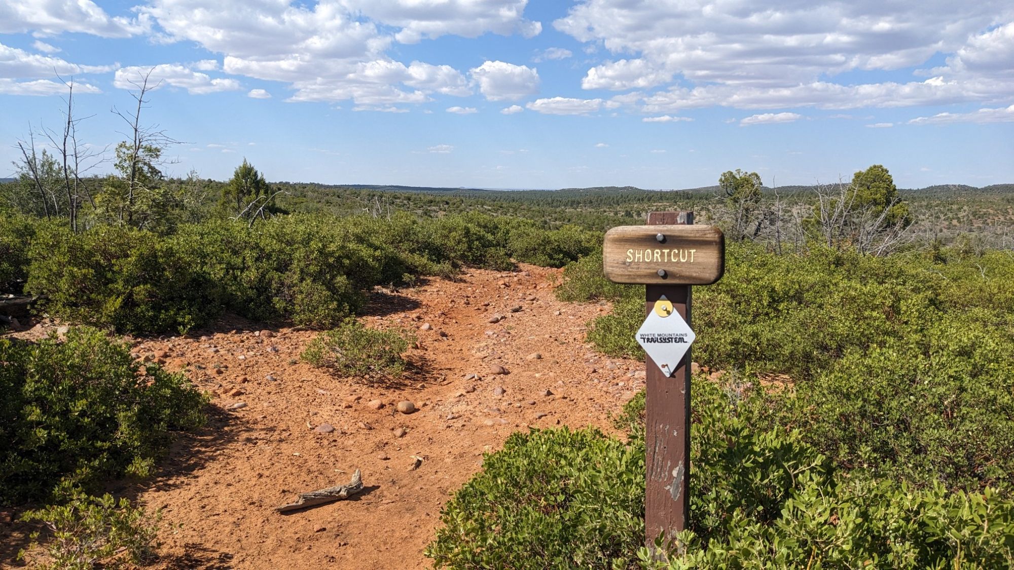
I had one more roller coaster bump for the day, I hiked uphill for a while to the top of Juniper ridge.
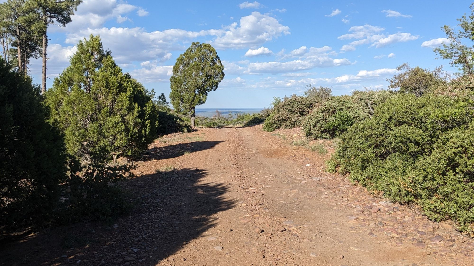
Still going up. I could see the tower in the distance.
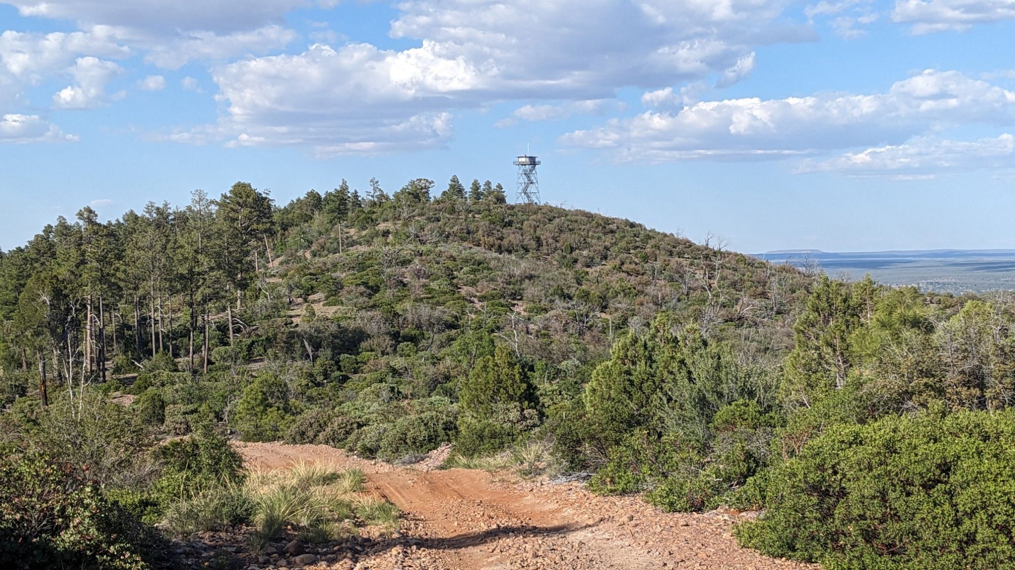
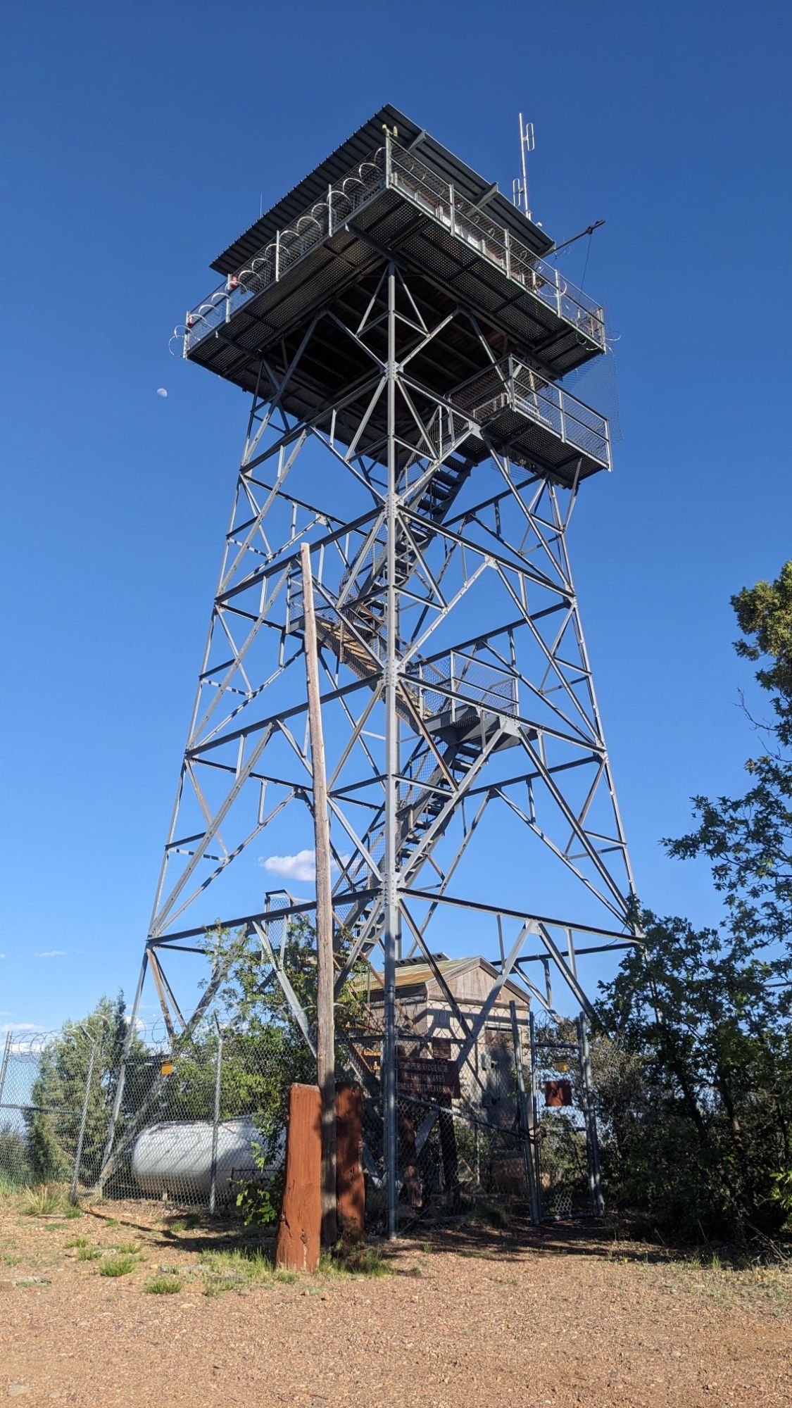
At the top of Juniper ridge, I was at an elevation of 7,000 ft and it was nice and cool. I took a break in the shade of some short trees and enjoyed the views.
I still had about 2 miles ago before I could get to a spot where the terrain looked flat enough to camp. I made my way back downhill, following the trail through a pretty severely burned section. Someone had some fun with this dead tree and decorated it with smooth stones, ha!
In the distance I could see a little copse of pine trees, and I aimed for that to camp. The strategy worked out pretty well, and I was able to find a flat-ish spot underneath some trees and get setup before it got dark.