Tuesday May 21, 21.4mi/34.4km
Pierce Spring (315.8/8120ft) to Start of Railroad Grade Trail (337.2/9180ft) (Arizona)
Surprisingly I had very minimal condensation on the inside of my tent when I woke up. I packed everything up and walked over to the spring to get water.
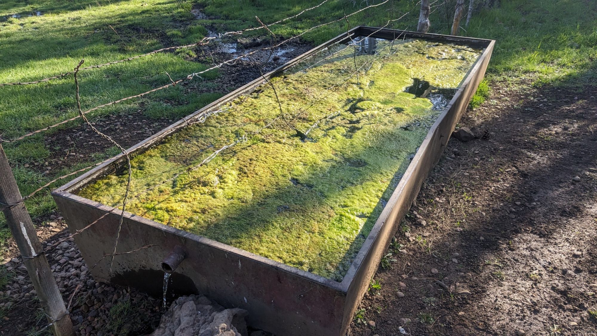
It looked pretty gross, and then I realized that was the cow trough, not the spring which I found hidden in a wooden box nearby. I hiked for about a mile on trails, and then I left the White Mountain Trails network.
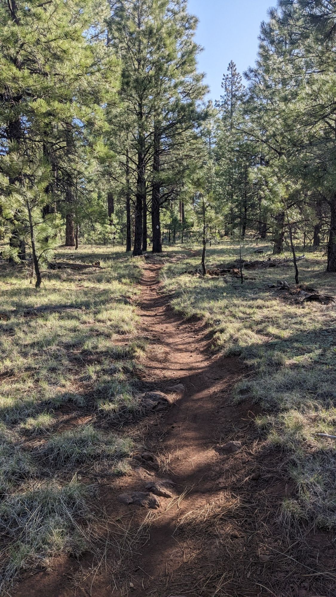
The rest of the day was walking on dirt roads or some short XC sections. And now that I was up over 8,000 ft, there seemed to be water everywhere.
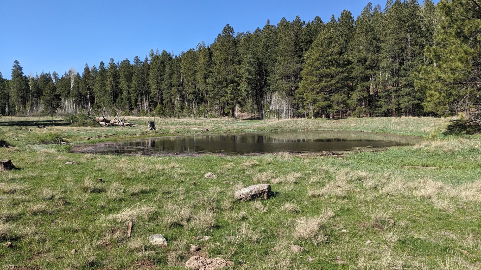
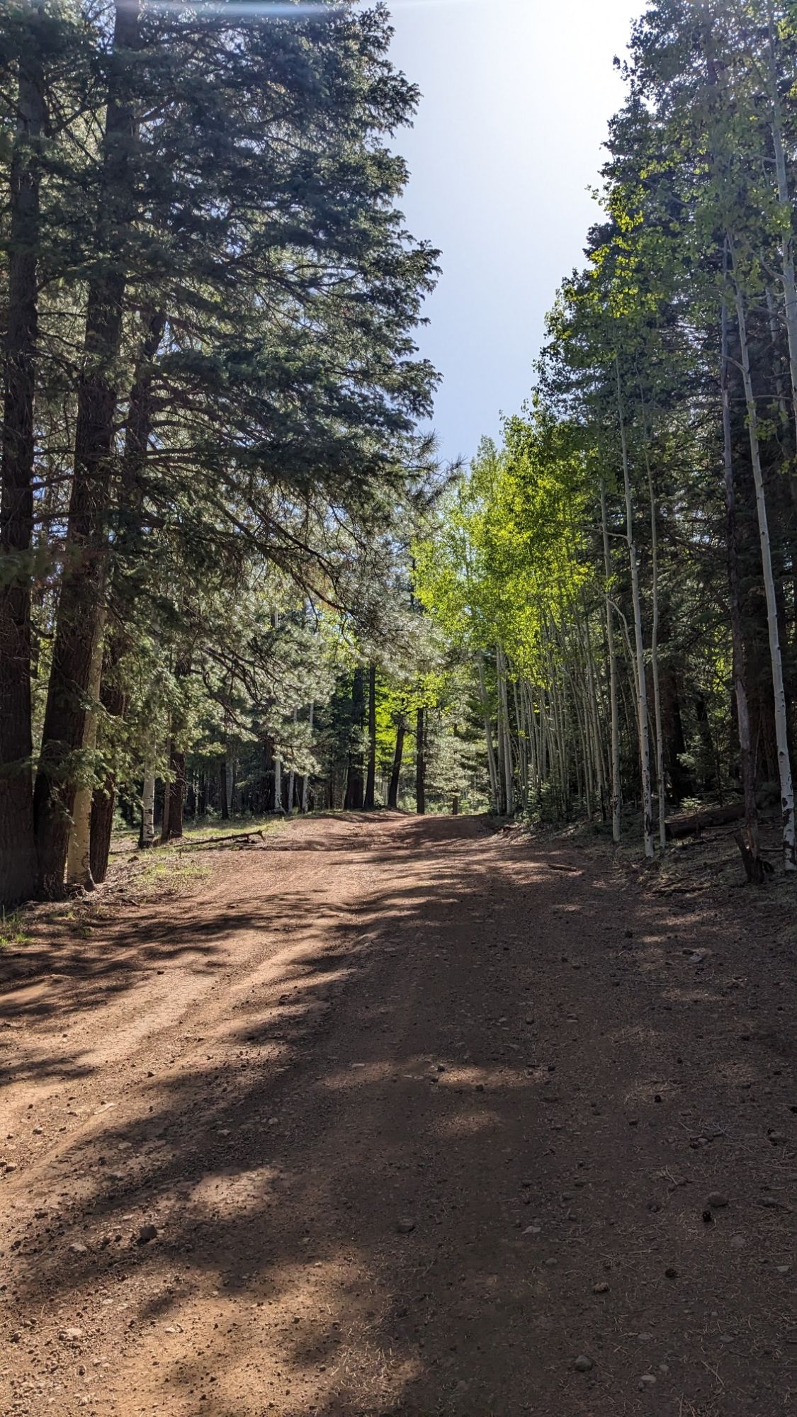
It was nice weather, and hiking in the Sun felt nice but it was a little chilly in the shade.
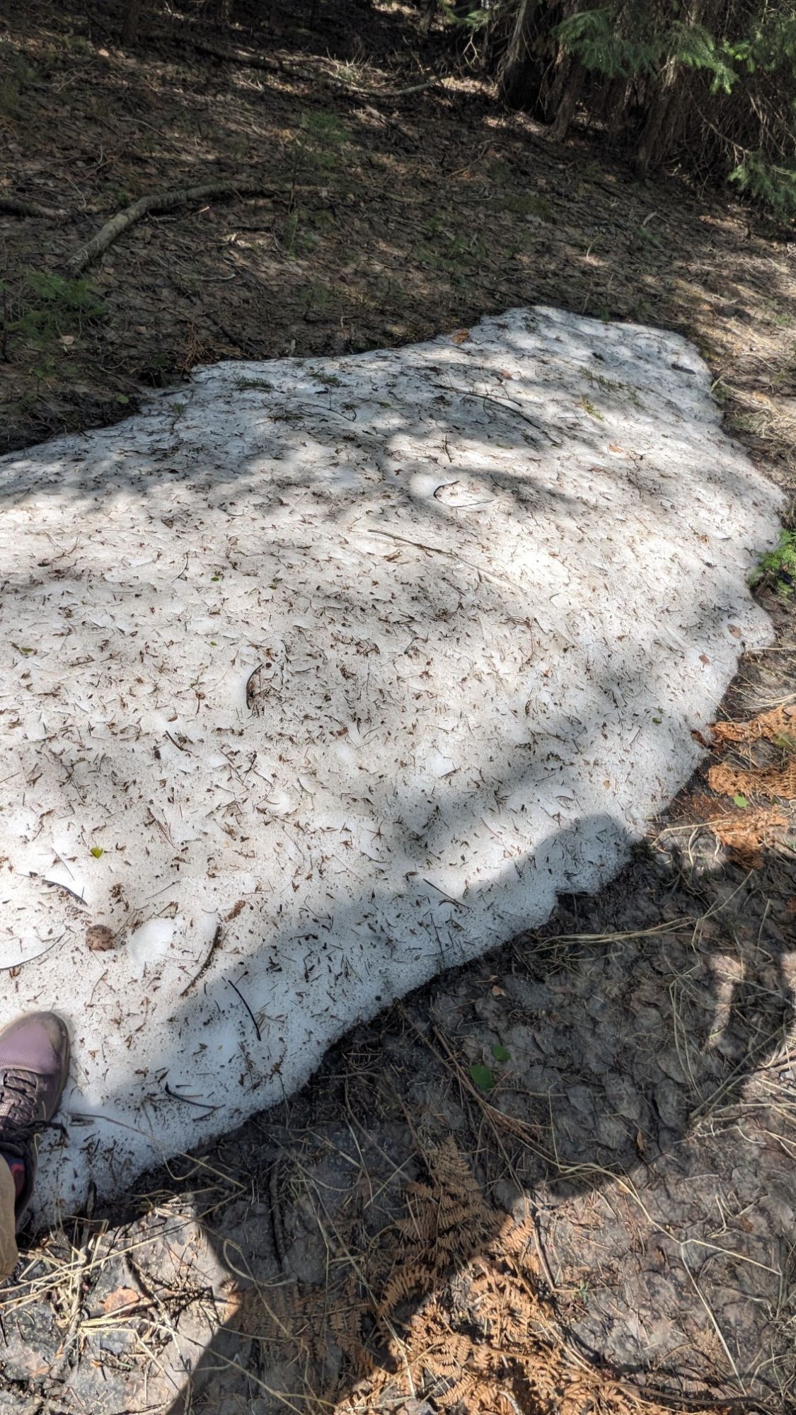
On one of the shaded north-facing slopes, I even found a little patch of snow remaining from the winter!
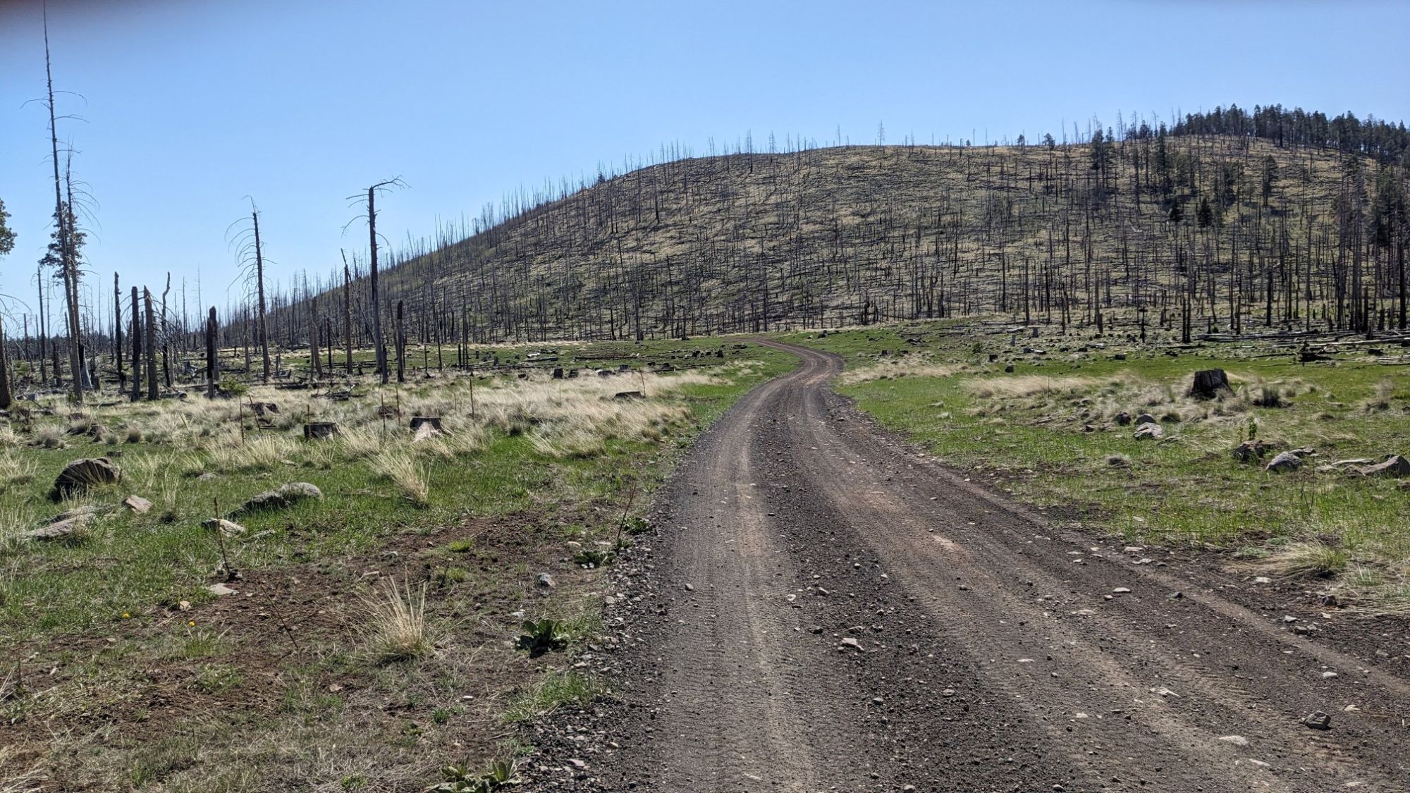
Next, I hiked through a burn area which of course had very little shade.
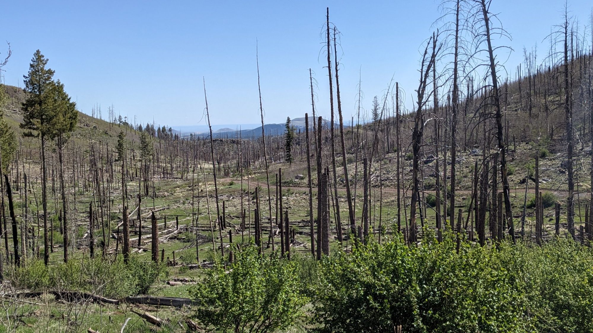
There was a massive fire here in 2014, and even 10 years later it looked like it had barely recovered.
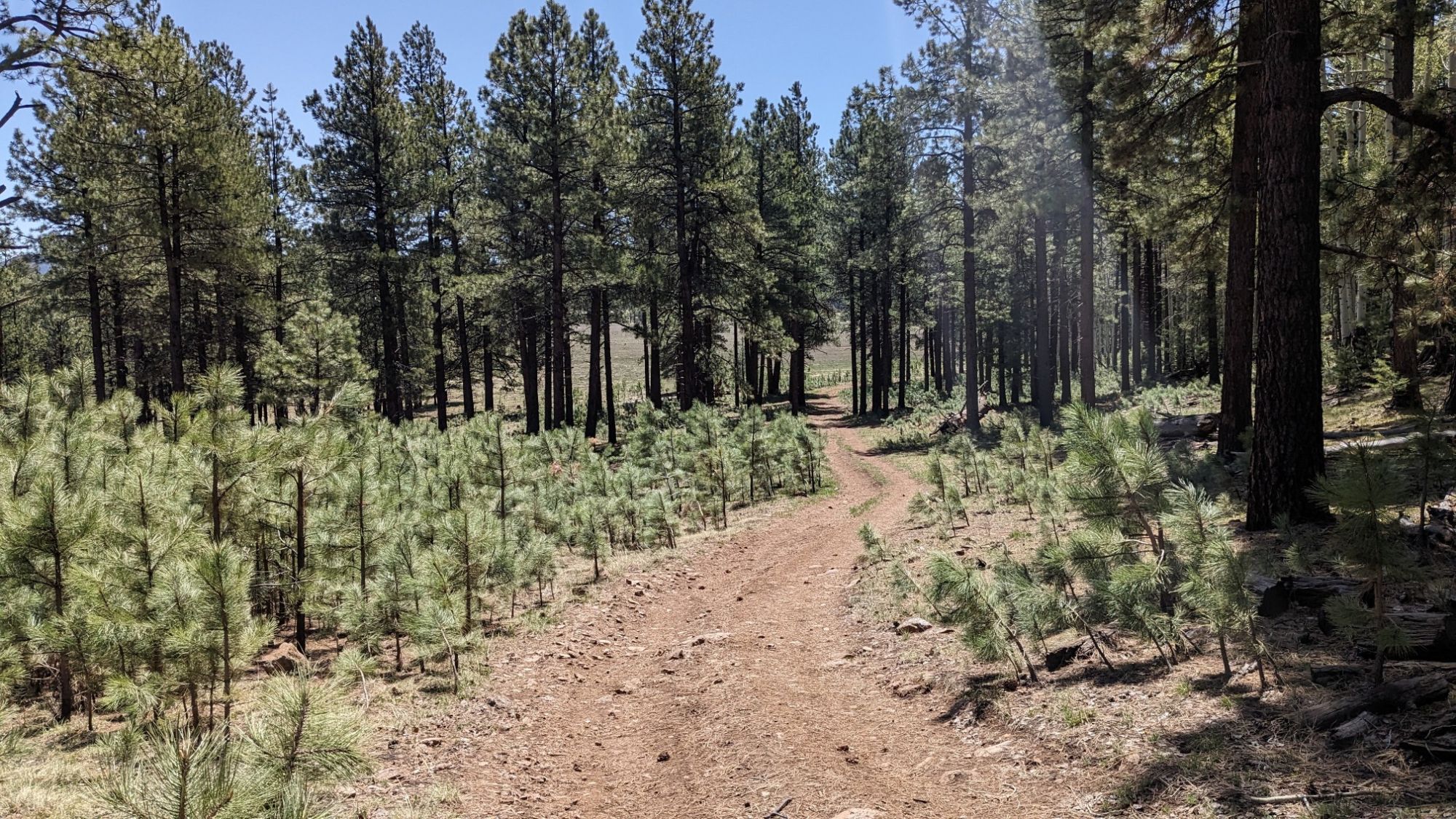
Near the edge of the burn zone I noticed that some young pine trees had started to take root. It was cool to see the juxtaposition of the very small trees against the very tall older trees.
The databook for this trail lists every waypoint, turn, junction, and water source. Today there were many more water sources than the guide had listed.
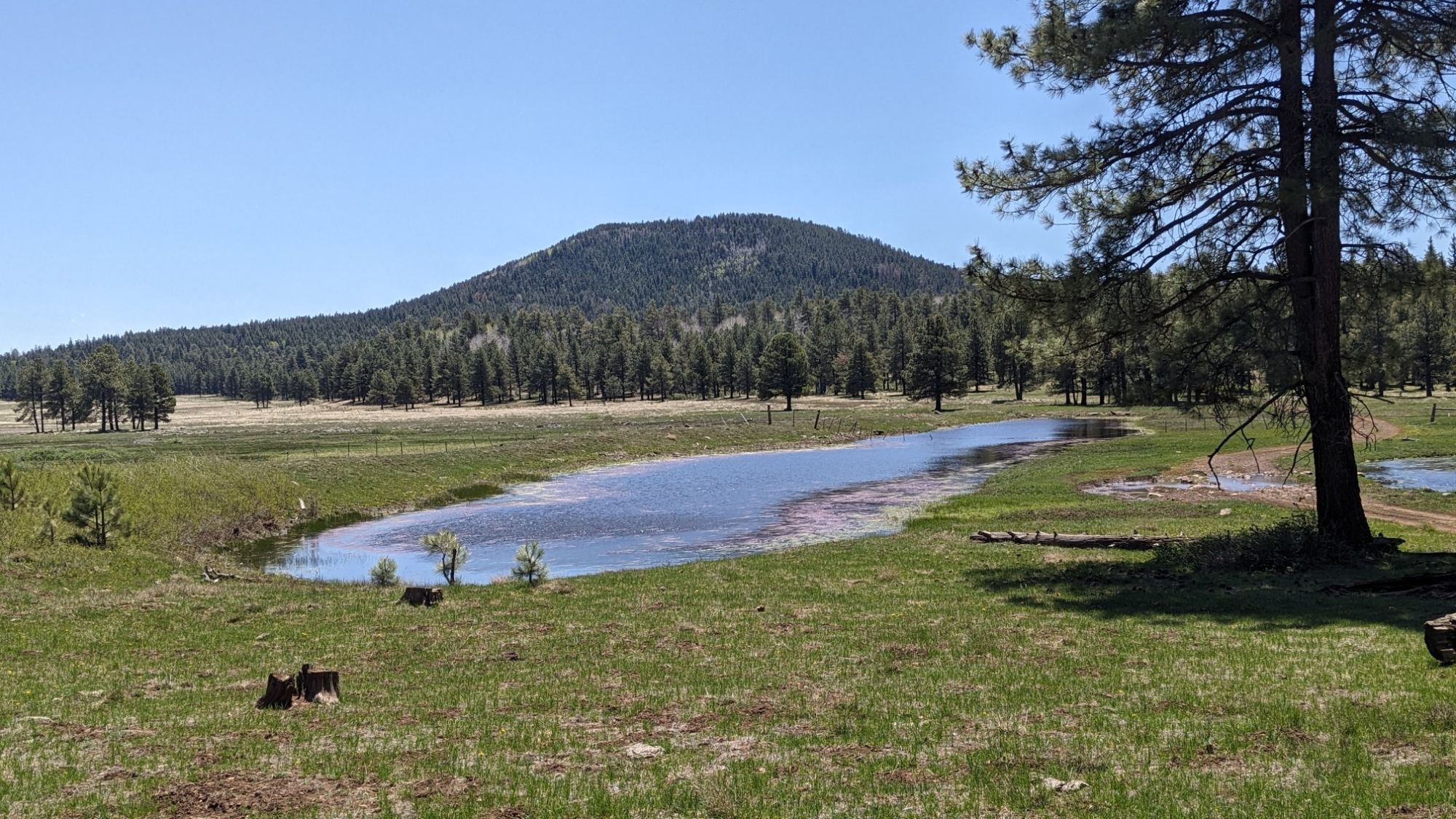
Just before lunch I got to an area called CC Meadow, which was simply stunning.
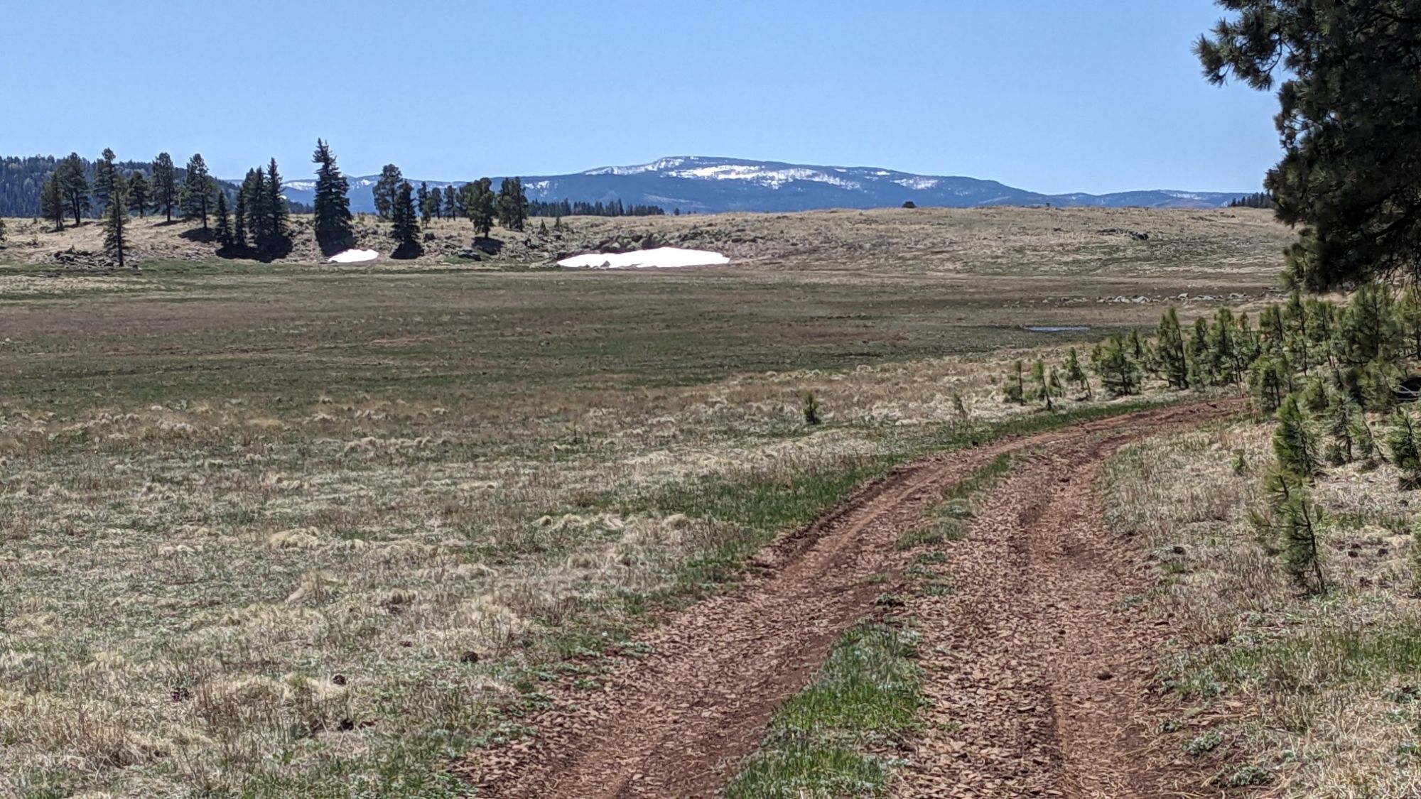
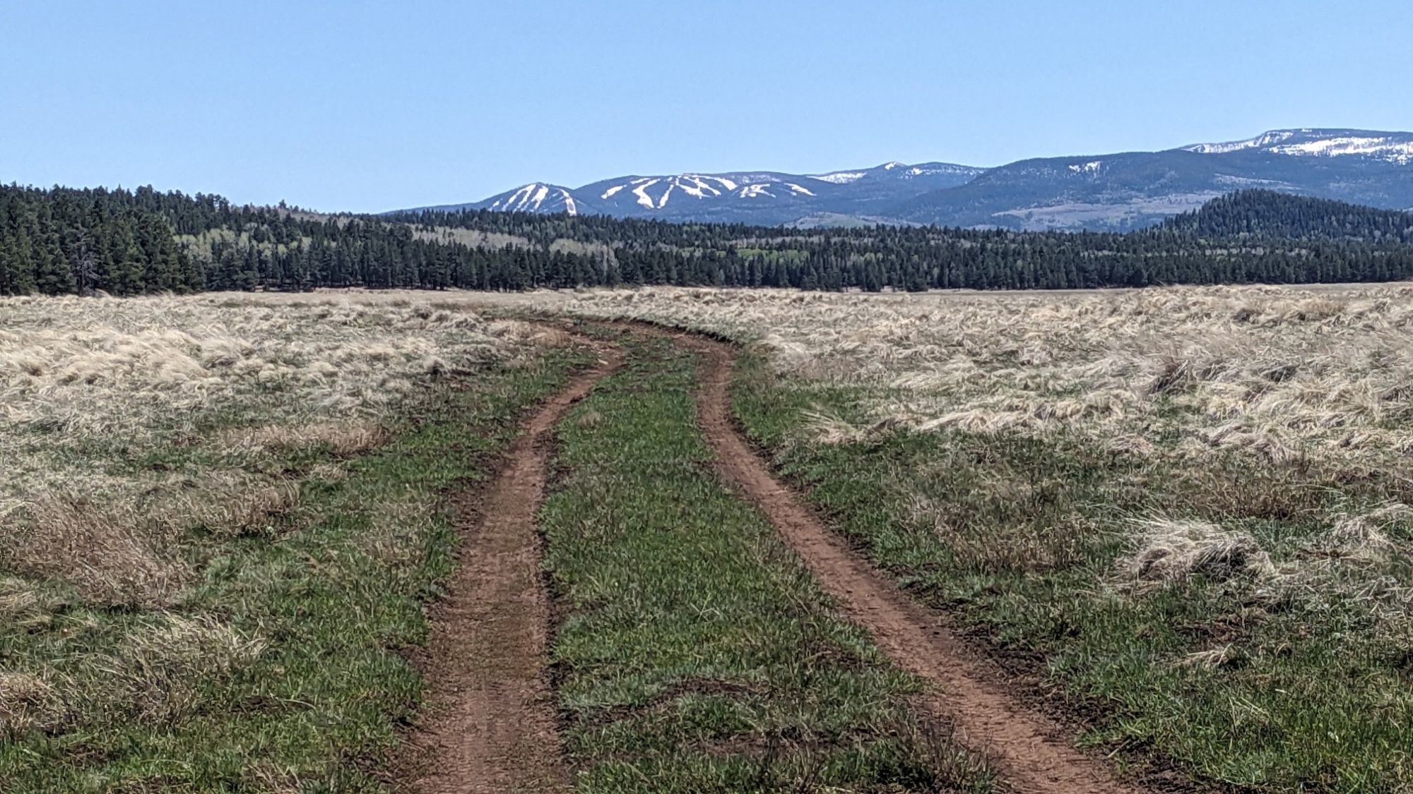
I could see for miles in every direction and even some snowy mountains in the distance!
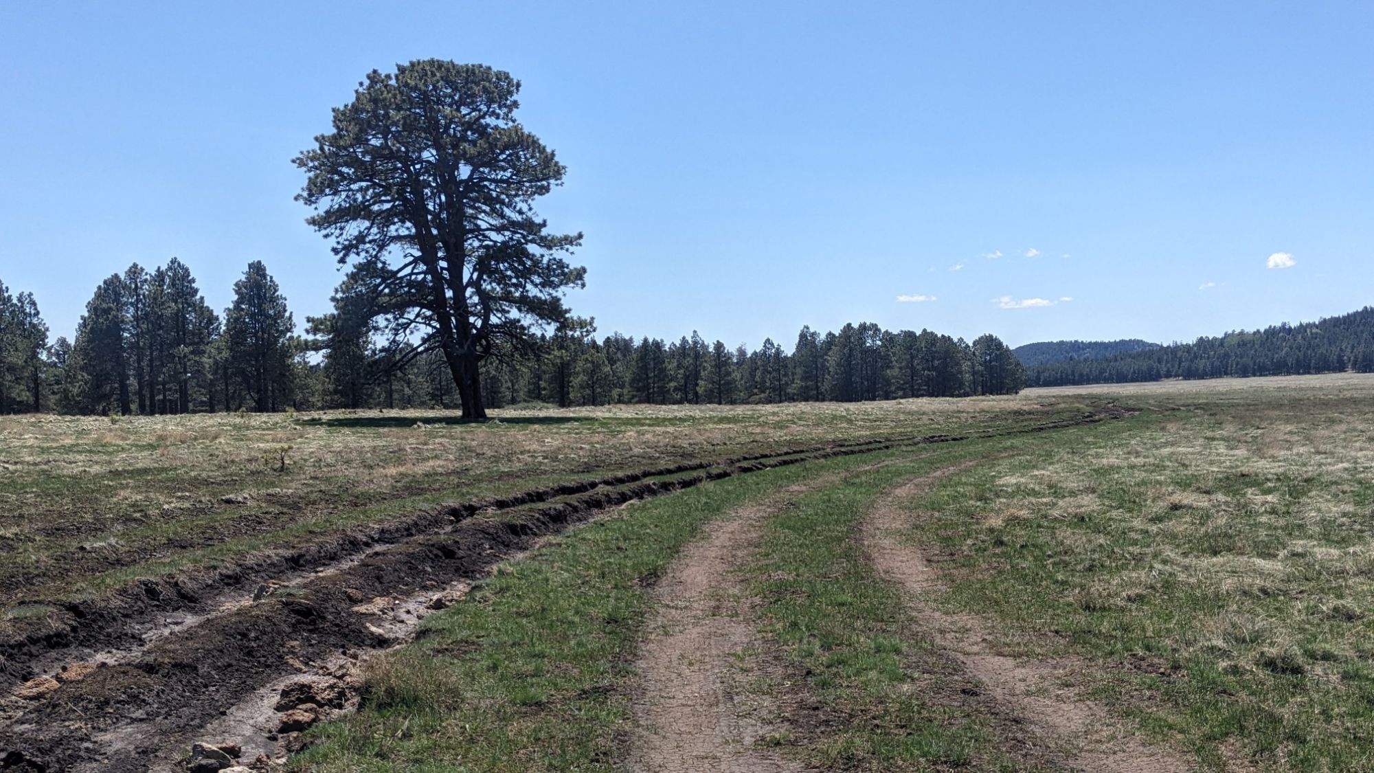
This one tree grew by itself in the meadow and it reminded me of the “Lonely tree” in Wanaka NZ.
I stopped and had lunch in the meadow and enjoyed the views all around me. It was a little windy and cold, so I didn’t stay very long. Soon I entered the forest and hiked XC along a fenceline which was the boundary to the Fort Apache Reservation.
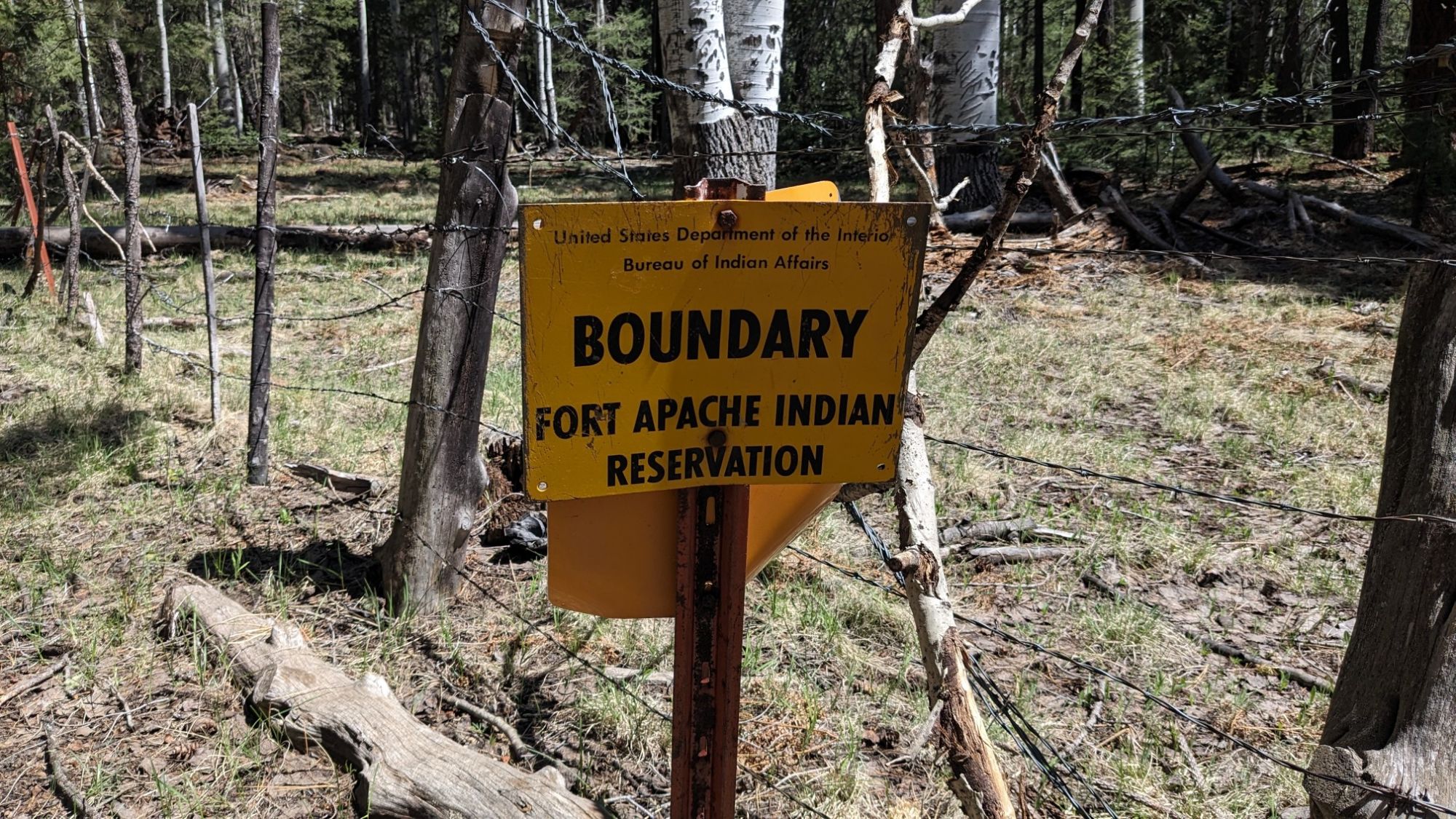
It was a fun little section of navigating through the brush and fallen trees.
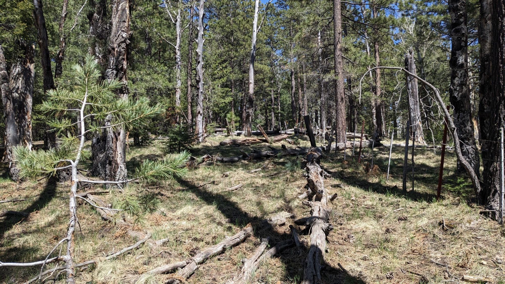
I emerged out of the woods onto a different road, everything was so green out here!
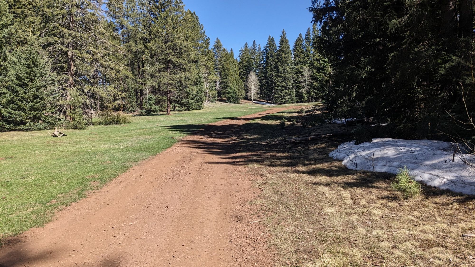
I passed by a few more ponds and refilled my water bottle. I never carried more than a liter all day, it was great. The next section of XC was a bit easier, it was just walking in a straight line across a giant meadow.
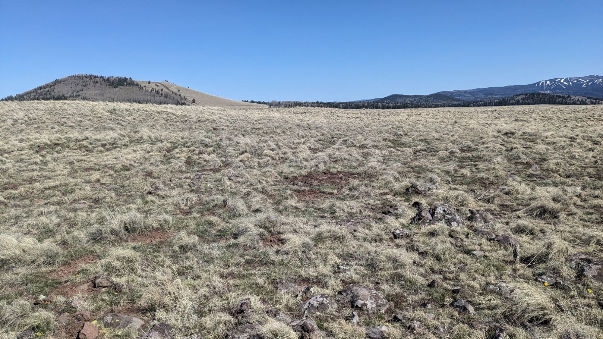
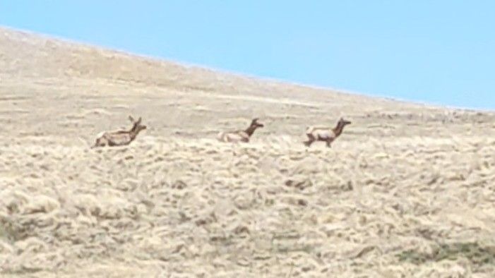
I even got to watch a herd of animals cross the meadow, it’s amazing how fast they can run.
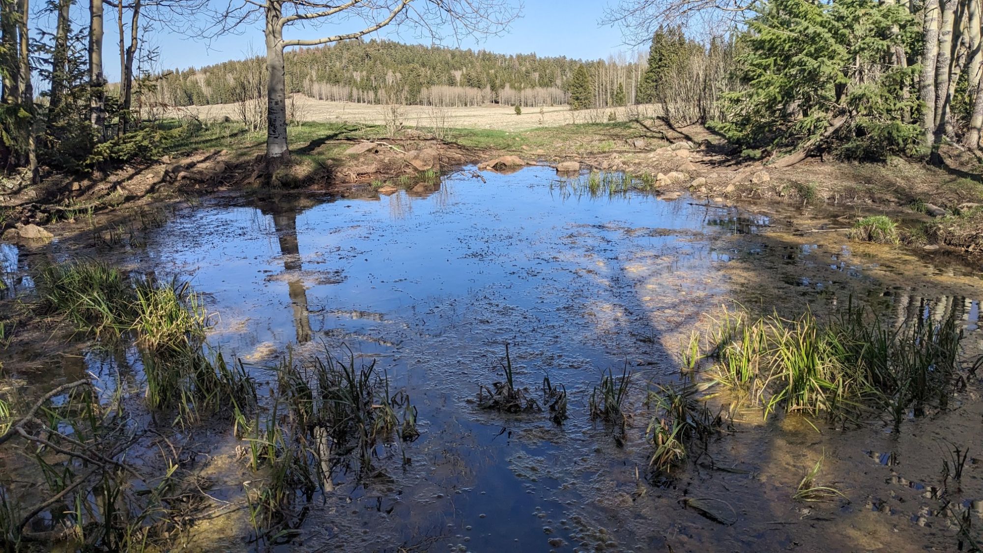
I came to my last good water source for the day, and refilled my bottle one last time for dinner.
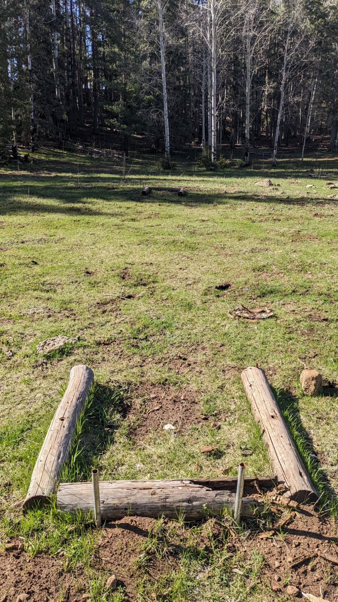
I noticed that nearby, somebody had installed what looked like… horseshoe pits?!
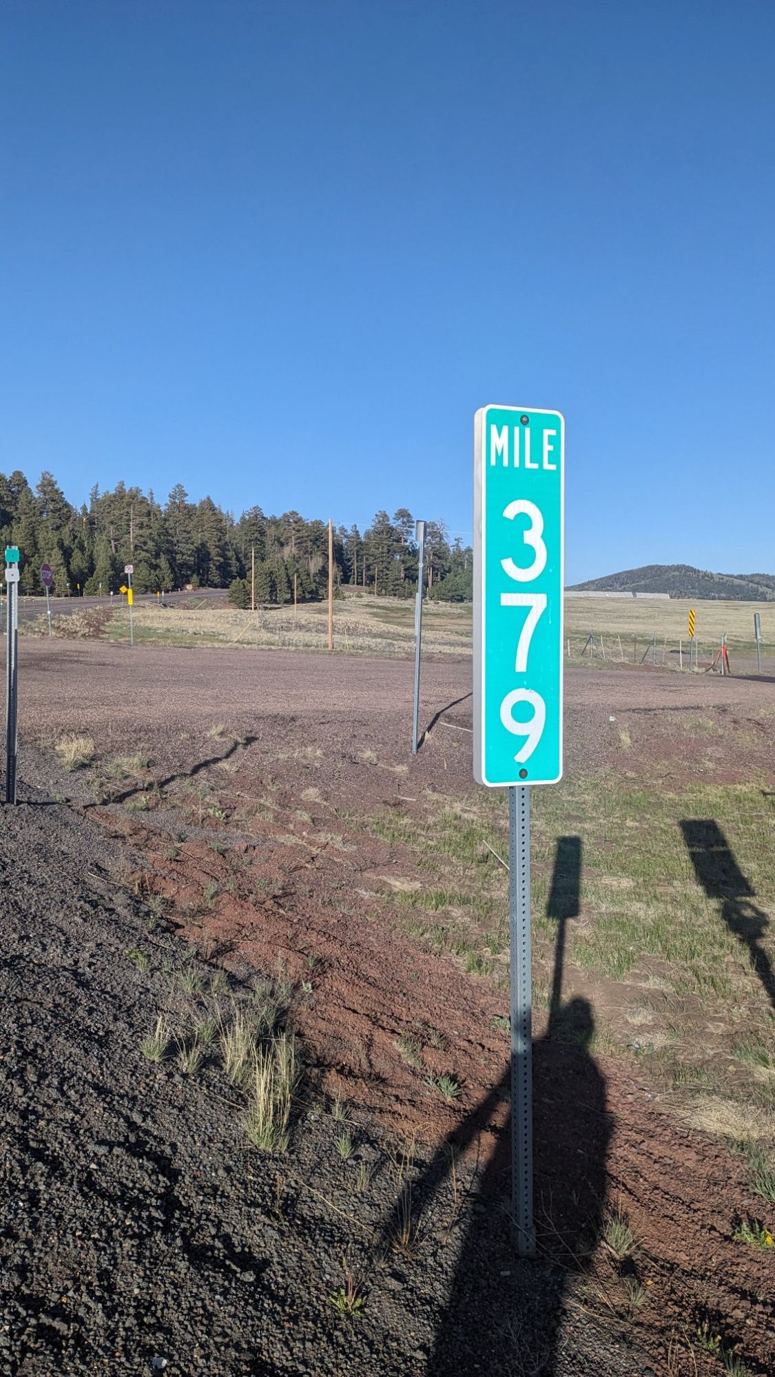
I crossed highway 260 again, and I think for the last time. I had been following this highway since the start of the trail in Cottonwood, 335 trail miles ago. I see that the road took 379 miles to get to this point, so I think I came out ahead on distance.
After crossing the road, I started on the Railroad Grade Trail.
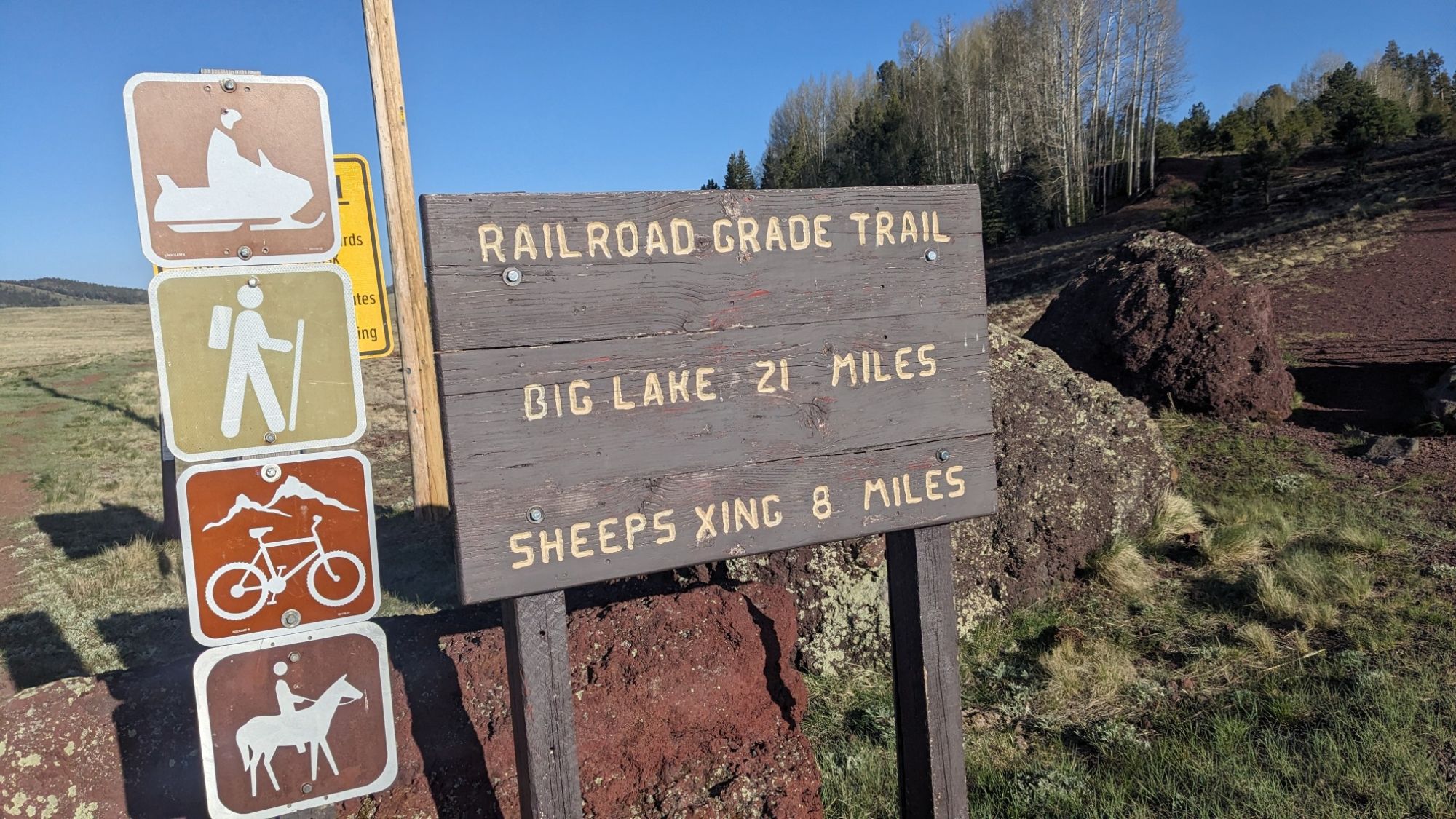
Of course it was perfectly flat and went directly across another alpine meadow.
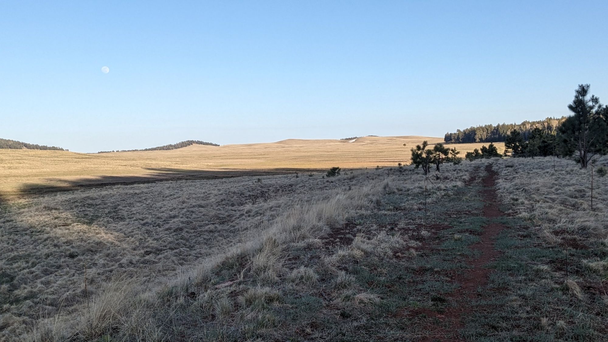
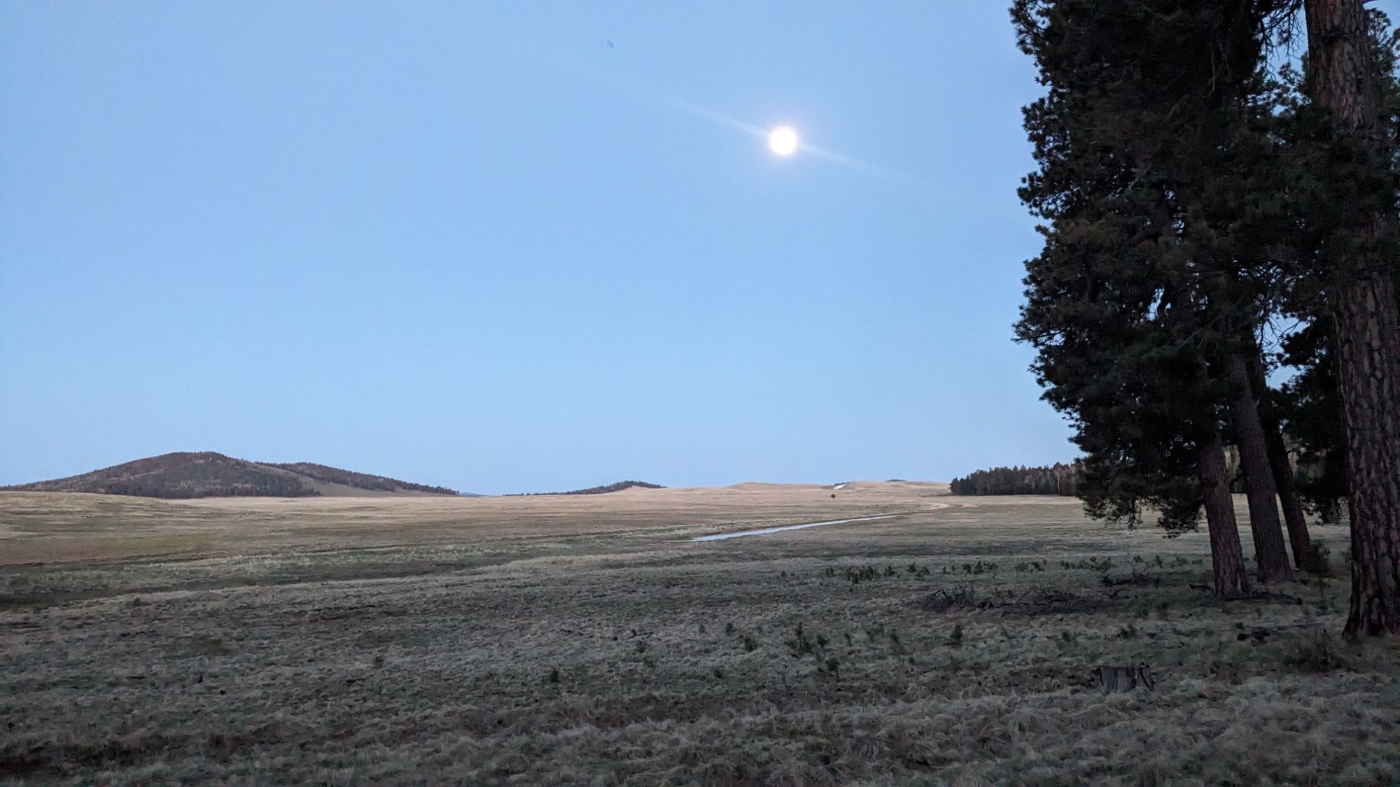
My map showed it would be crossing a meadow for about six miles, and I wanted to camp in the trees, so I decided to stop here near the start of the trail while I still had a forest to camp in. The rising moon looked great from my tent.
Tomorrow I plan to get an early start to hike the 8mi/13km into Greer, which I think is the last real town on this trail.
Beautiful scenery!
Reading about your travel adventures is one of the highlights of my day. You make it seem so easy that I want to do it, but when you start talking miles involved I realize why not many people do it.
Maybe one day!
Using people who do this will get started slowly, just a few miles. Then after a couple weeks, it’s like 15 miles a day. “Little by little, a little becomes a lot”