Sunday May 26, 19.9mi/32.0km
Hannagan Meadow Lodge (415.6/9110ft) to Lanphier Canyon TH (434.3/5770ft) (Arizona) +1.2mi to Post Office
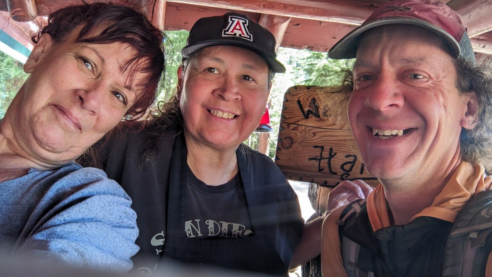
I slept in pretty late and then spent a while figuring out the logistics for my next hike, and buying new shoes. I packed up and went downstairs and talked to the staff for a while. Nina and Angel were really friendly and seemed curious about my hike across Arizona, it was really fun answering all the questions. I finally left the lodge just after 10am and we took a departing photo.
I walked along the highway for a couple minutes and noticed this neat little plaque.
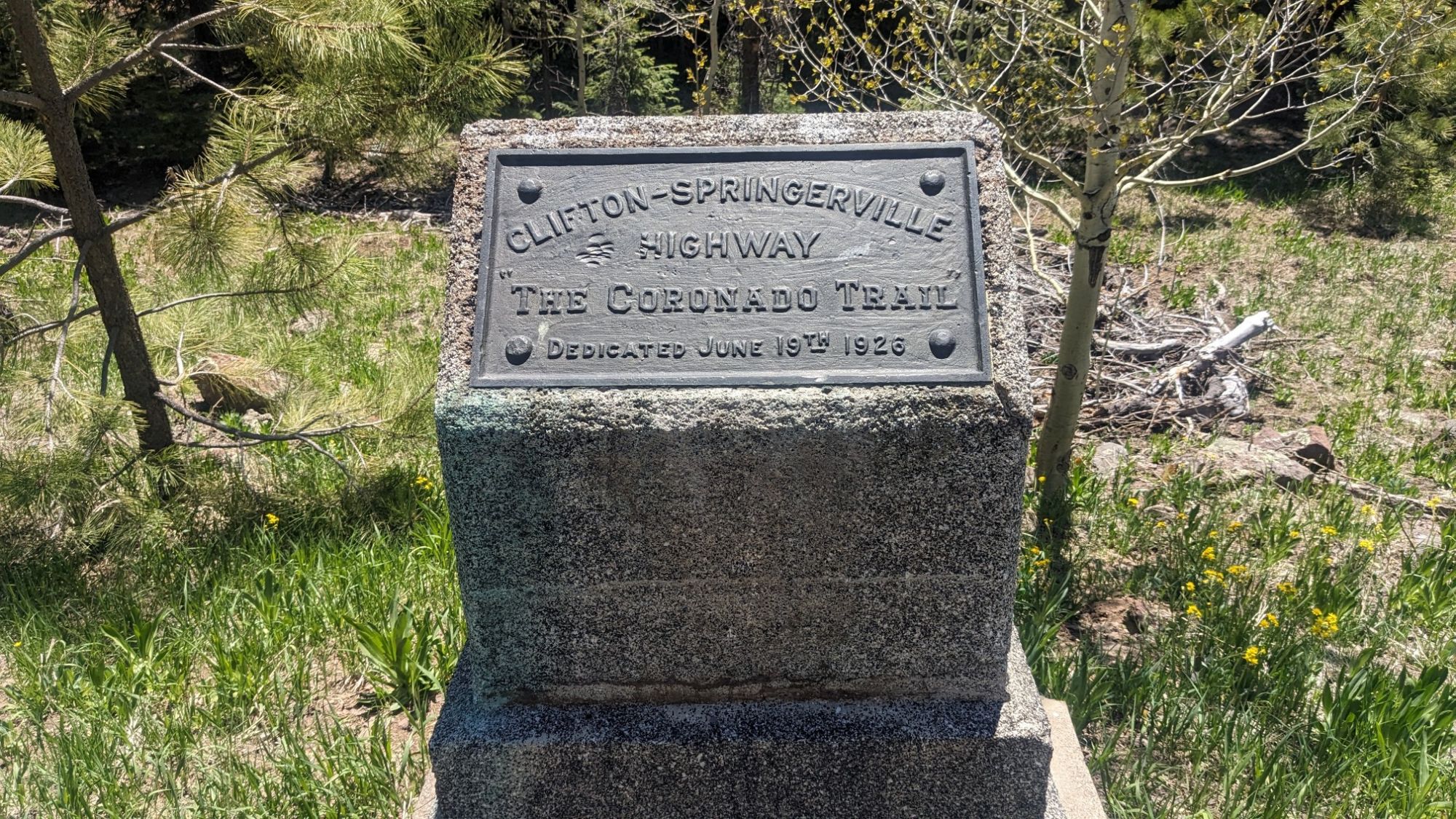
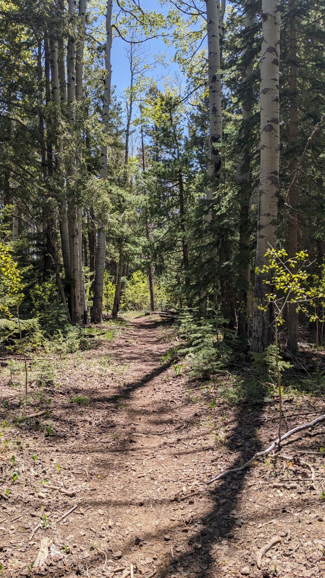
The Coronado highway was built in the 1920s, and was an engineering feat for its time, traversing some extremely rough terrain. Pretty soon I turned off the highway and was back in the forest once again.
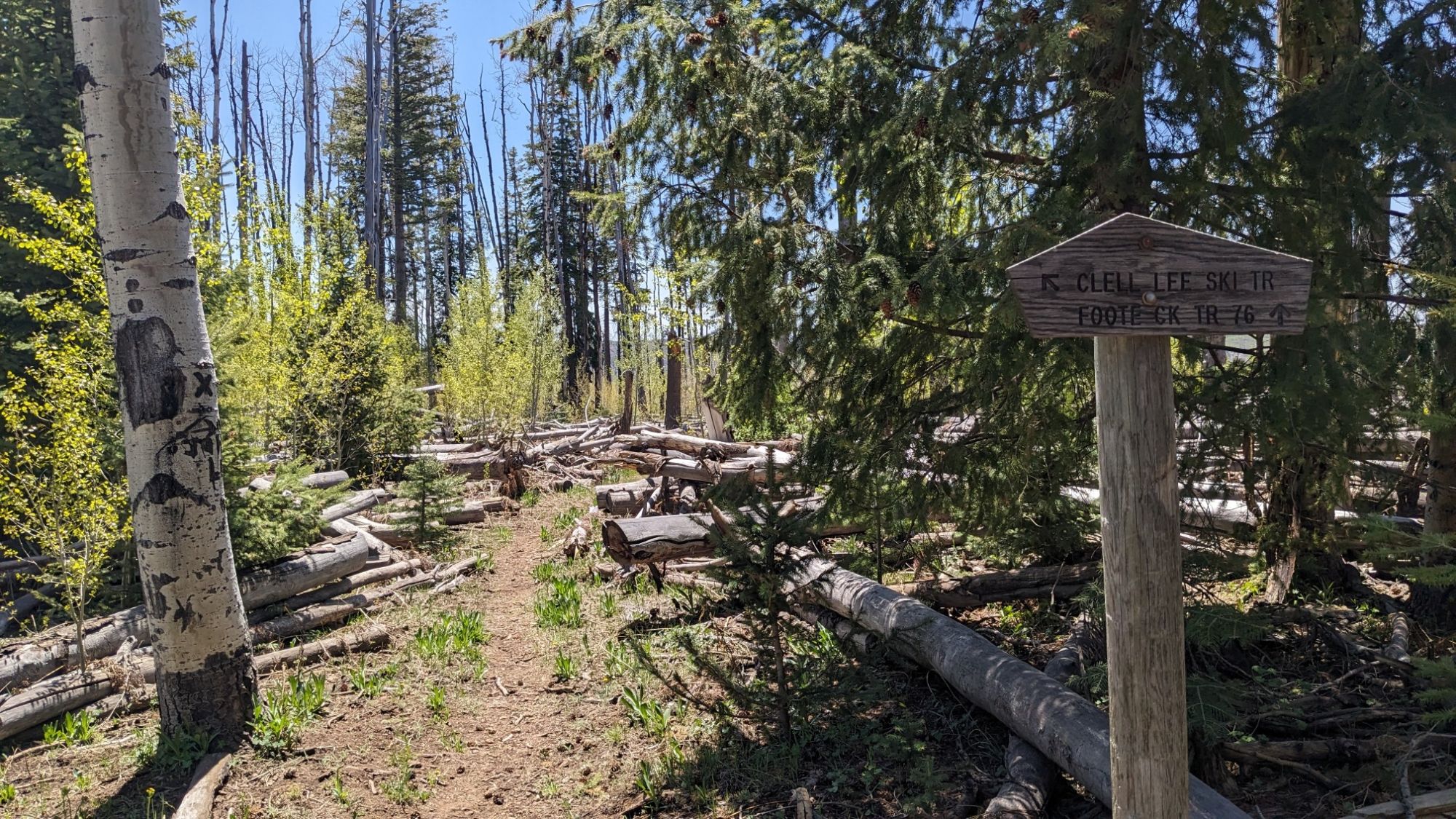
Within a mile I turned onto the trail that would take me down below the Mogollon Rim, and all the way down into the little town of Blue.
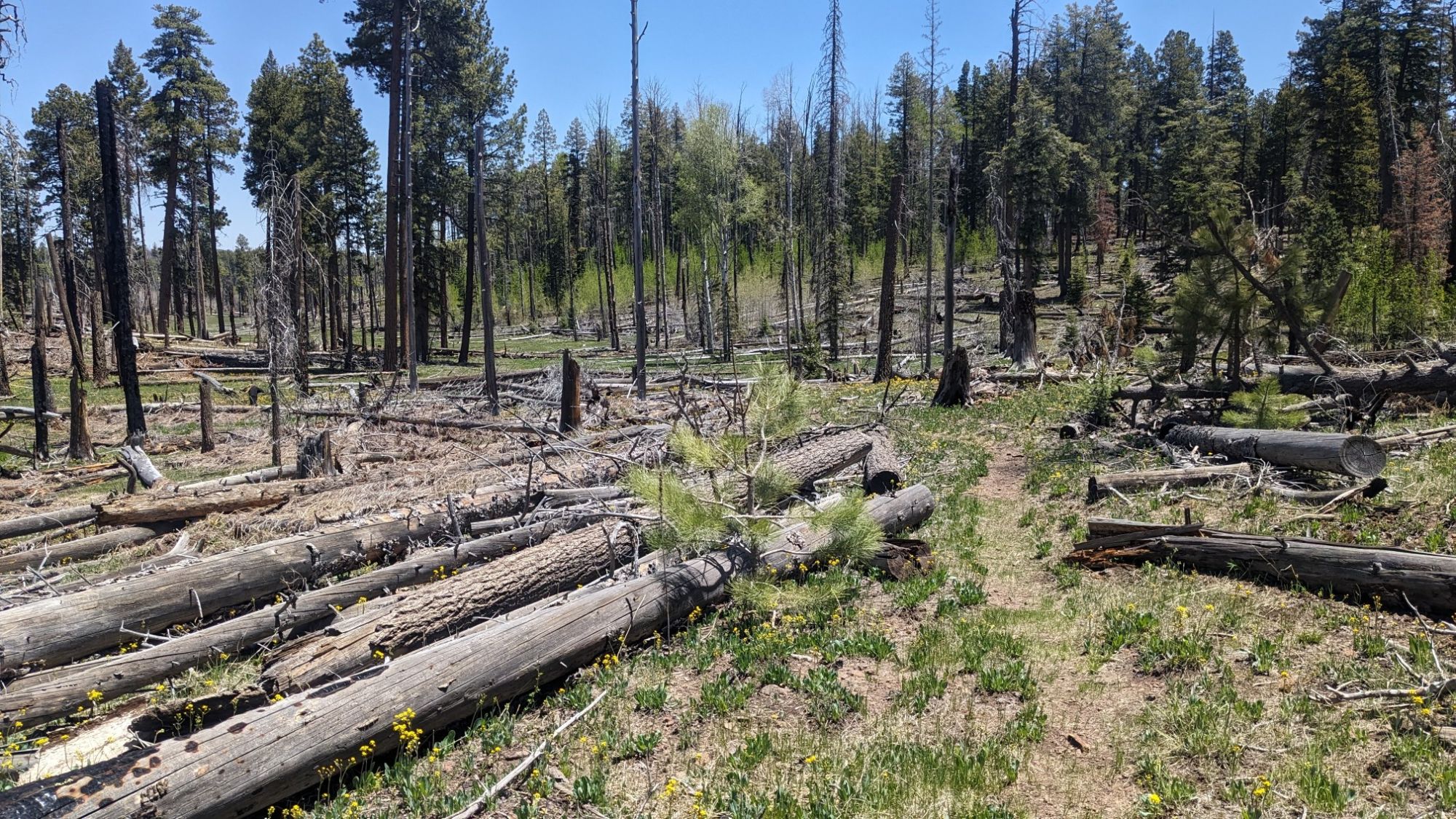
There were plenty of spots of burned forest in this area from the 2011 Bear Wallow fire.
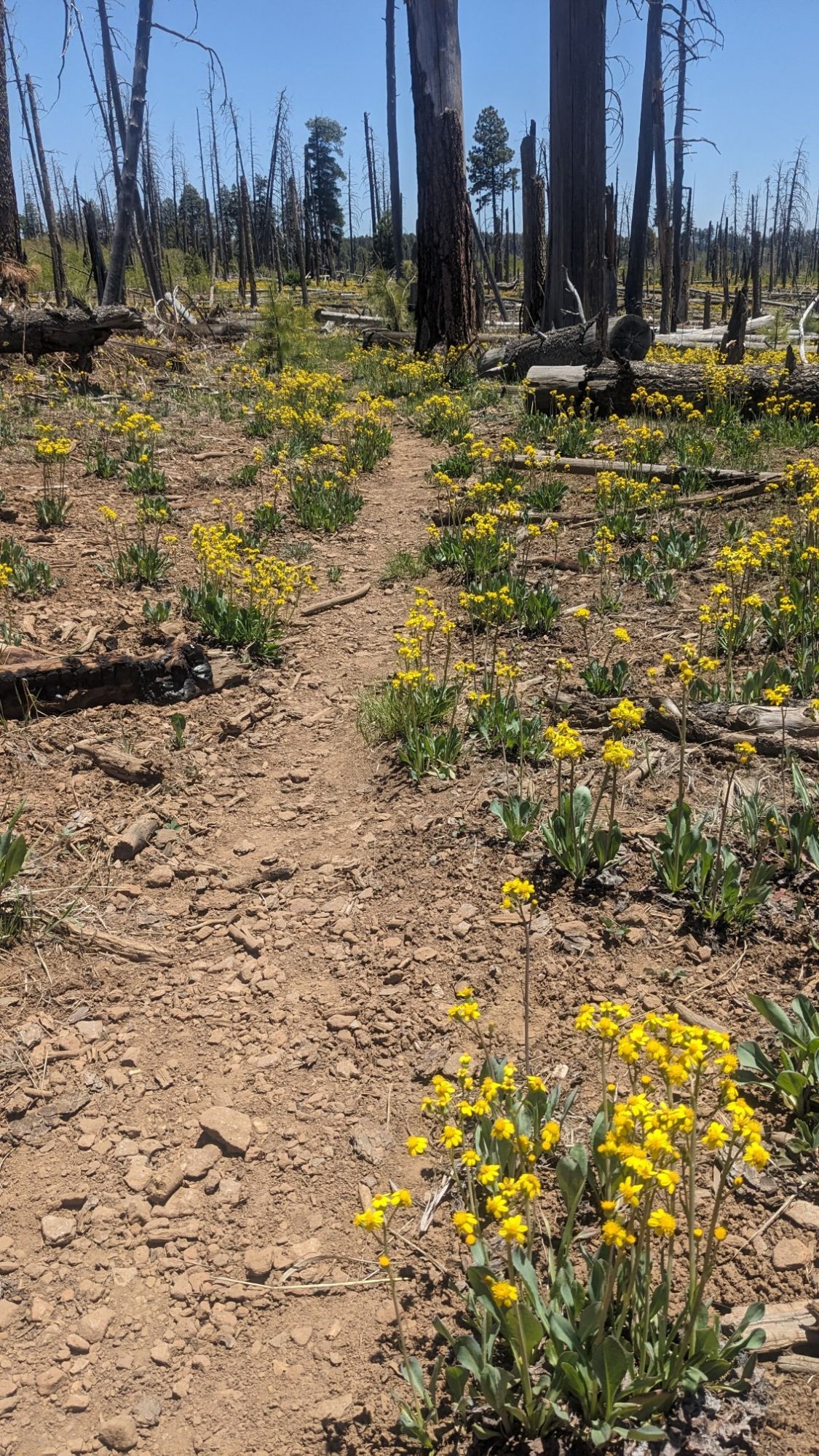
Even though it was 13 years ago, for some reason not much had grown back in this spot except these little yellow wildflowers.
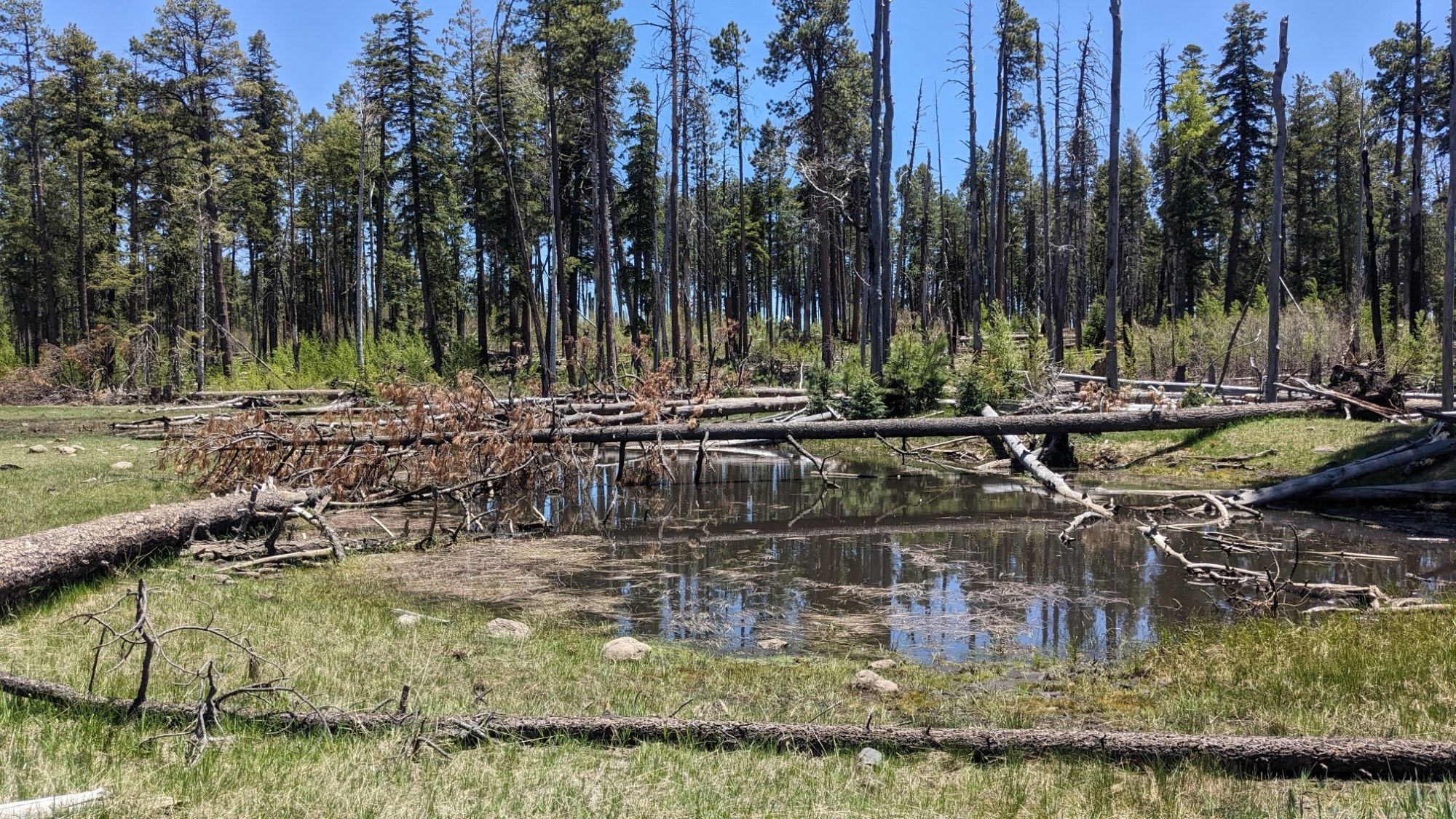
I passed by this shallow, tiny body of water which my map called a lake, ha! I wouldn’t even consider it a pond.
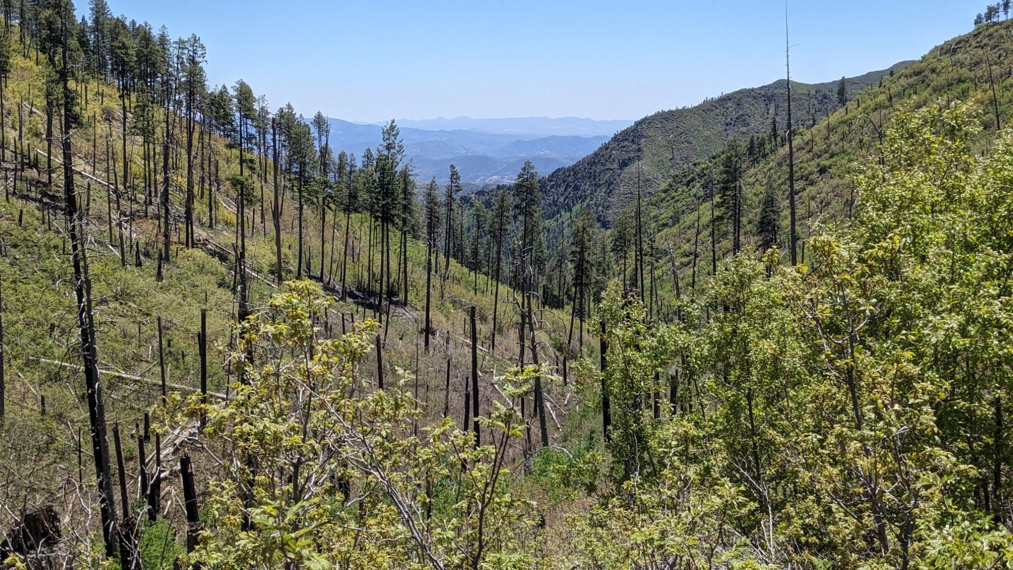
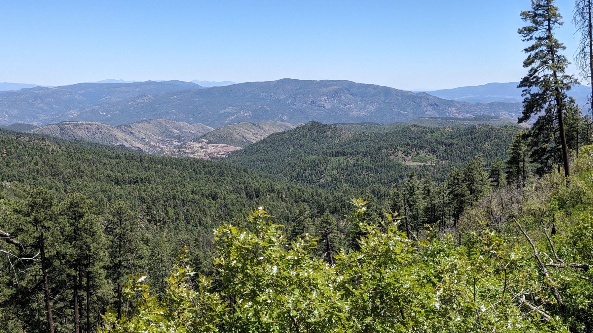
From there I started my long descent off the Mogollon Rim. Looking South through the thin forest, I could see the deep valley ahead of me.
Still going down.
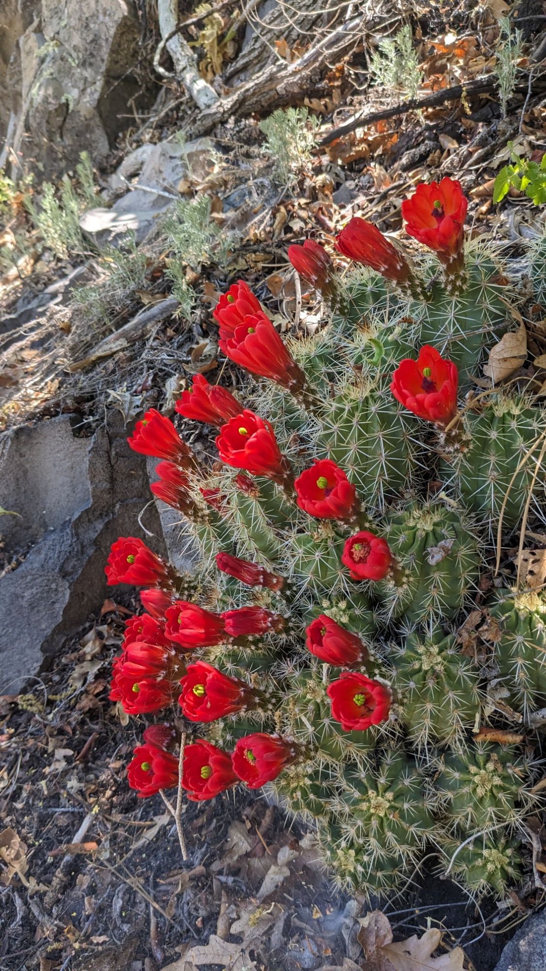
I could tell I was getting lower in elevation, because I stopped seeing Aspen trees and started seeing cacti again.
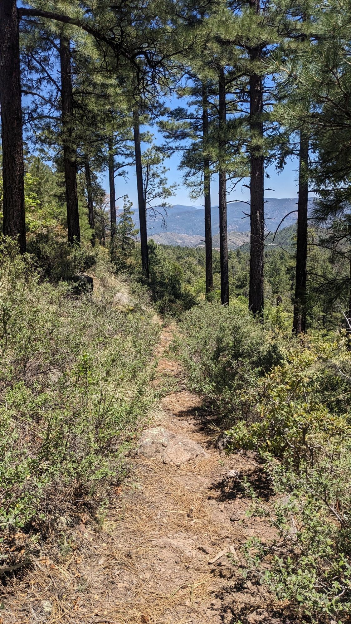
I was gradually losing elevation.
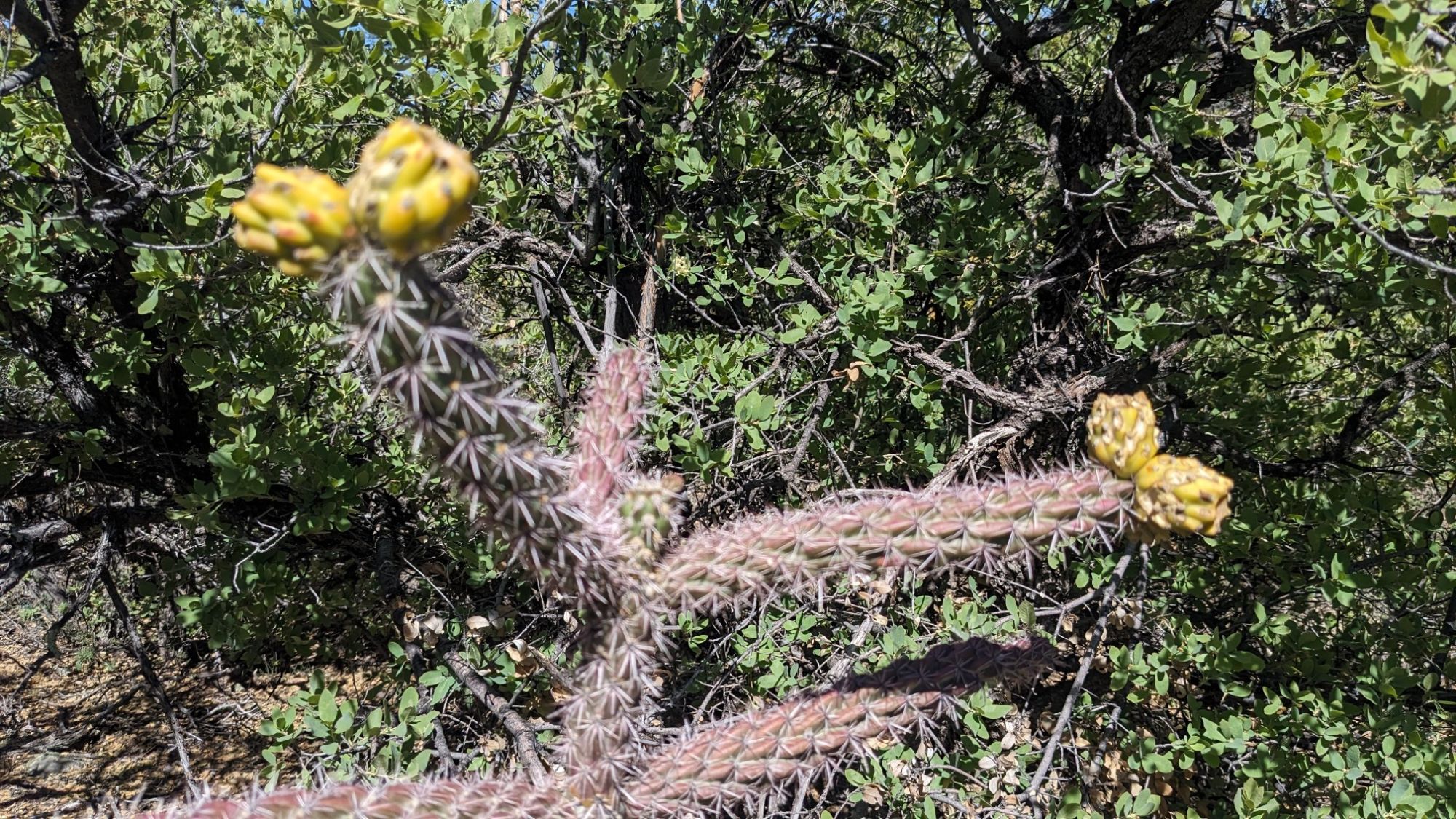
And even more cacti!
I passed by the Red Saddles, some cool looking rocky outcrops.
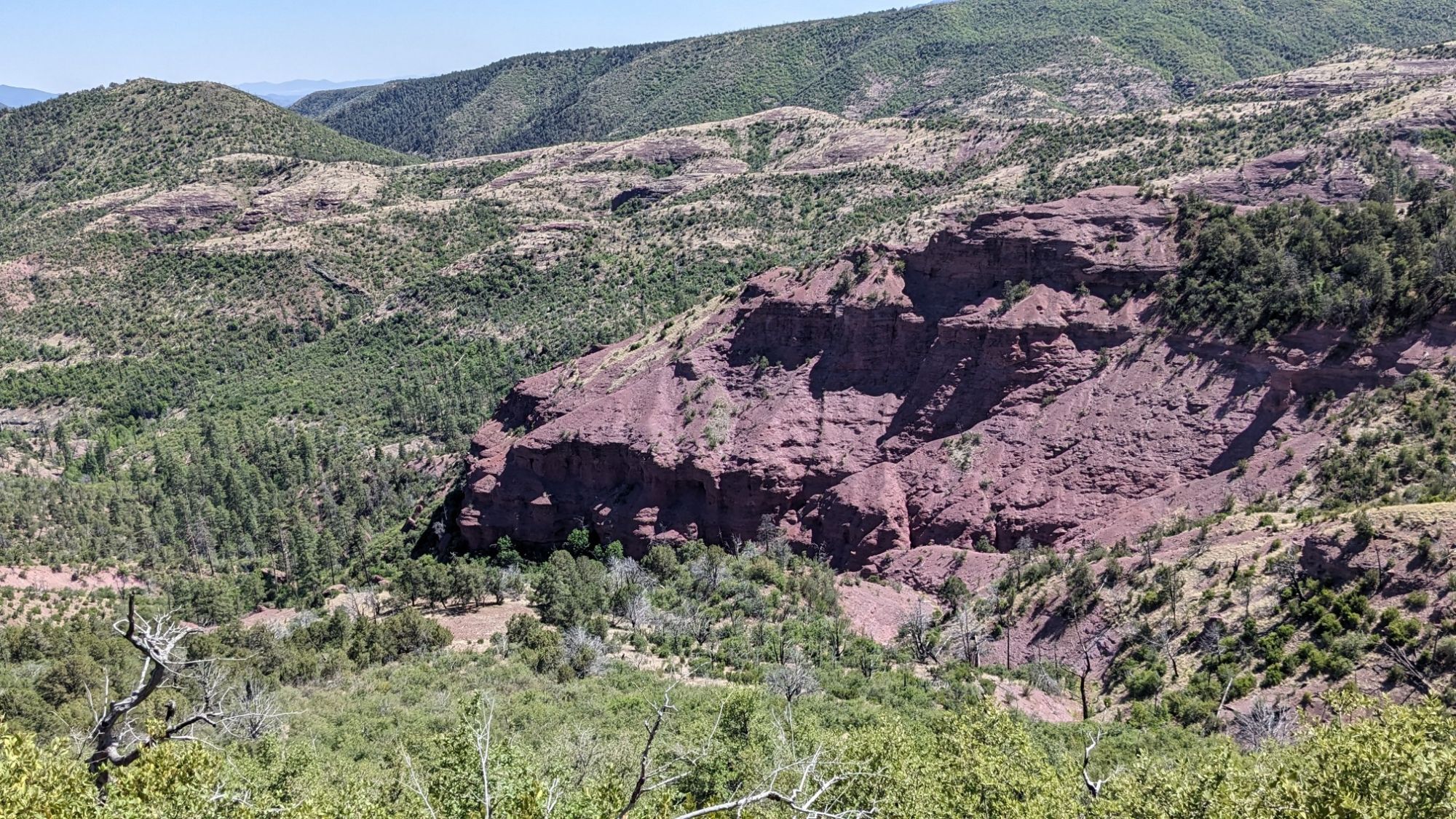
I dropped down into Grant Creek, which I followed for a few more miles into Blue.
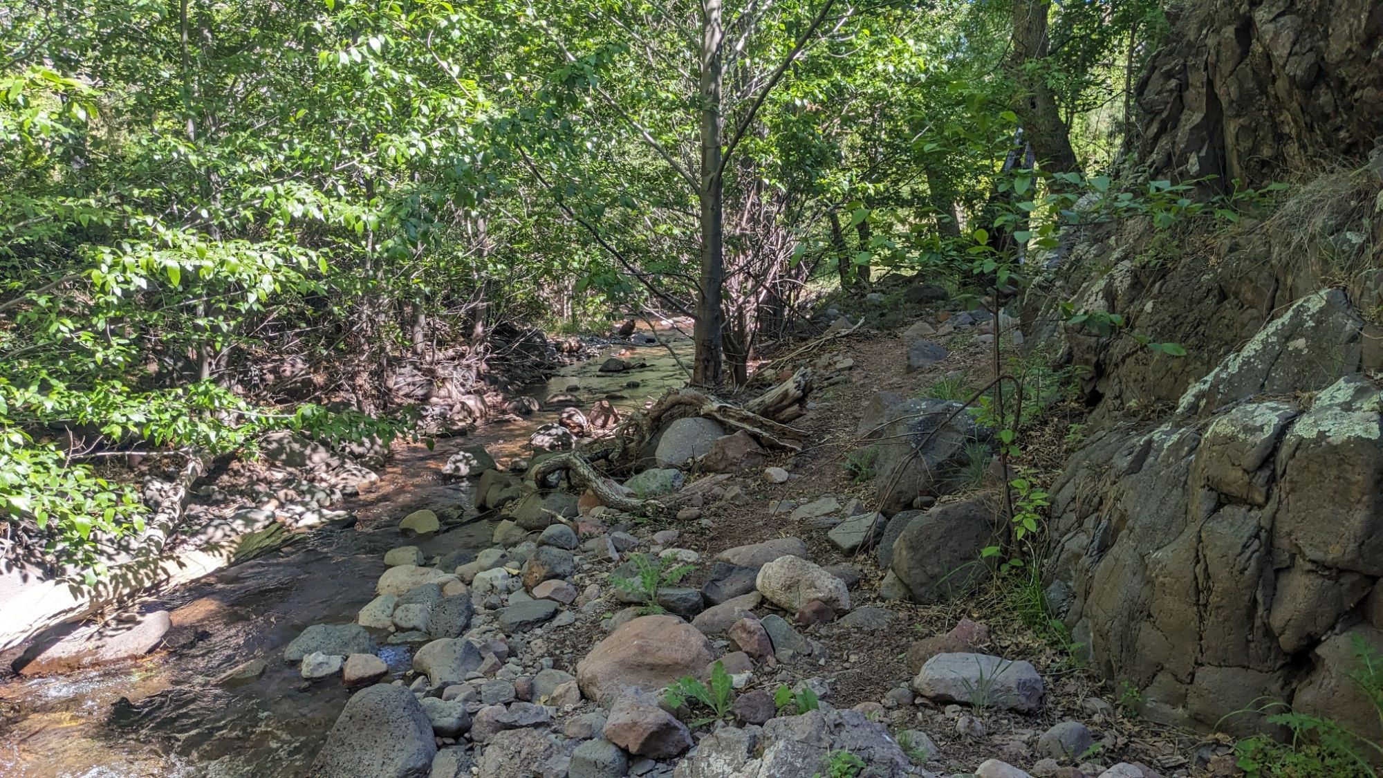
It was very lush and shaded along the creek and it was the perfect temperature for hiking.
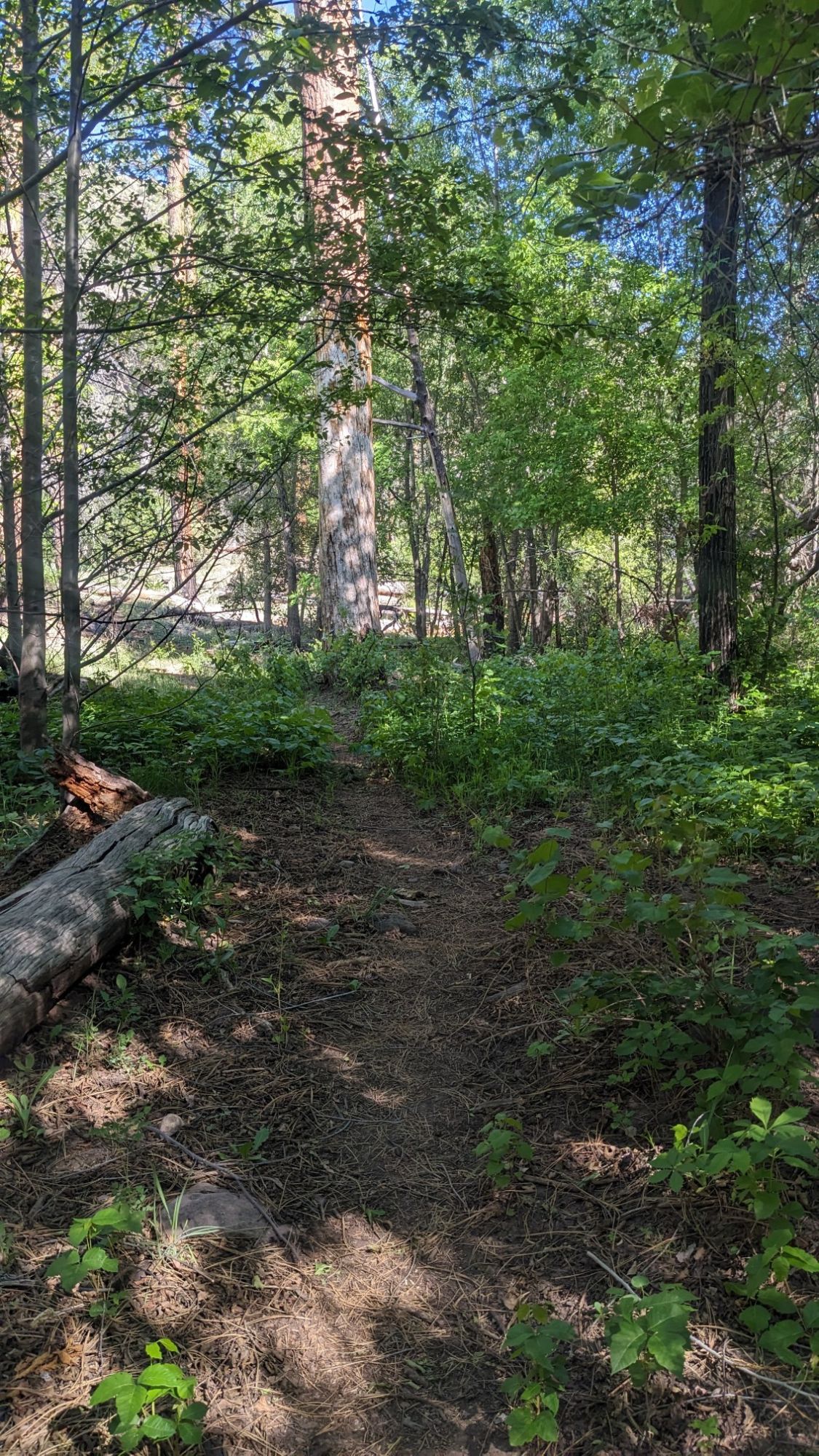
And the trail was pretty nice the whole way down.
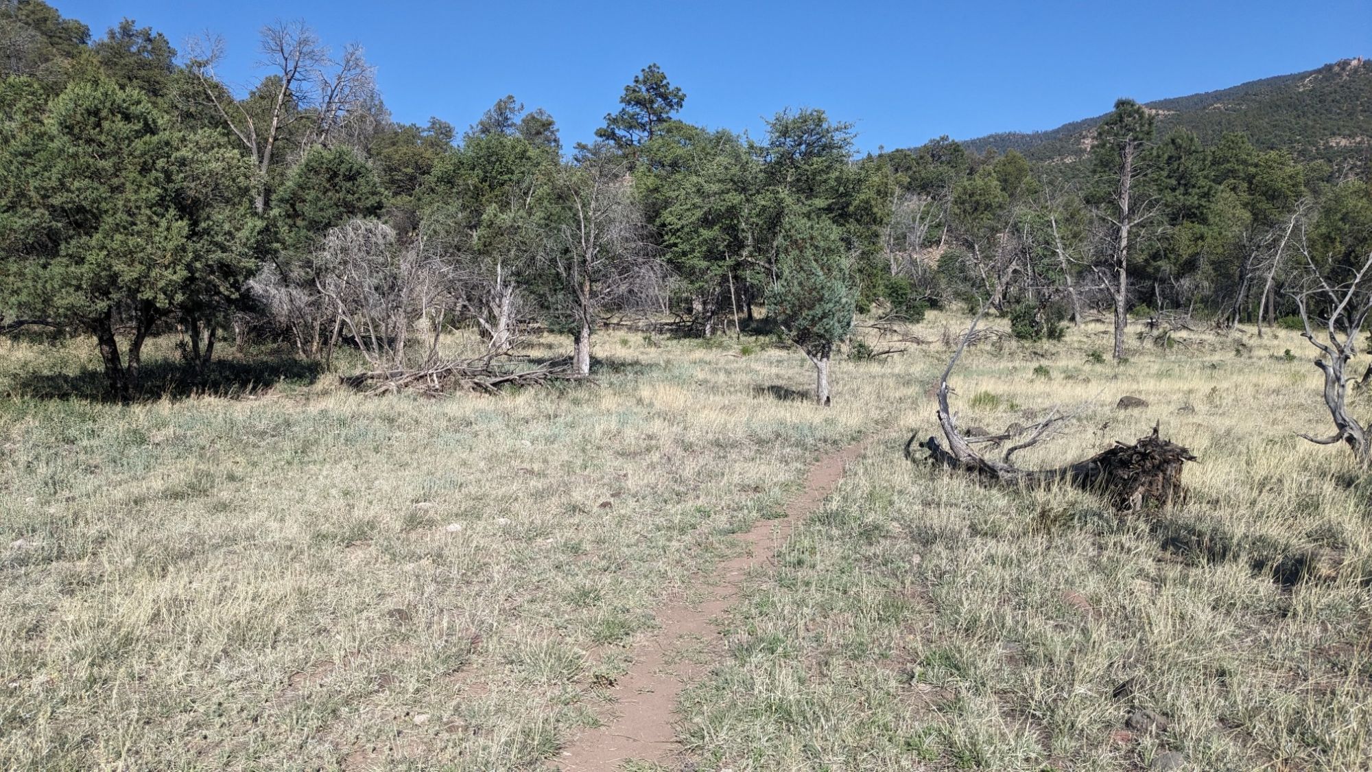
Just before the trail reached the blue River Road, I had to get across Blue Creek, which was a shallow ford.
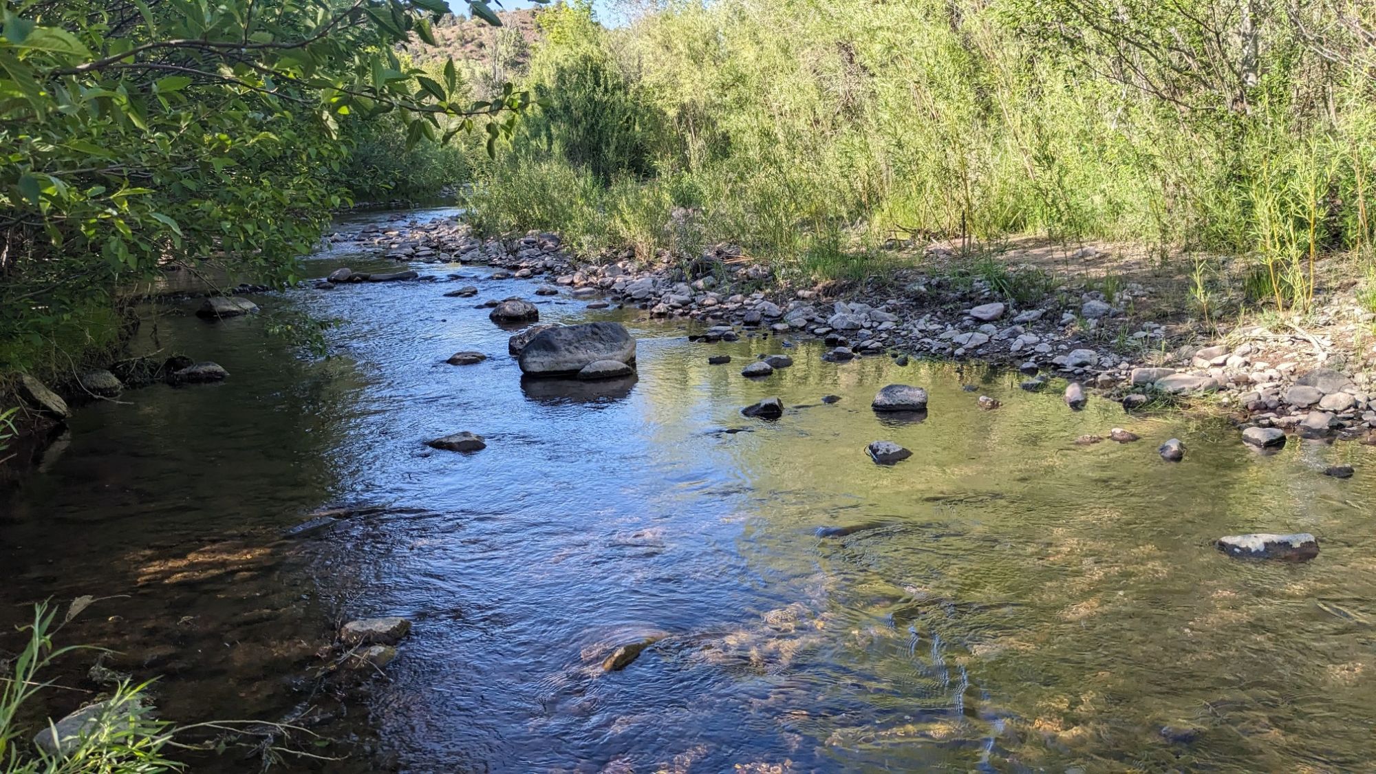
Having made it to the road with wet feet, I walked a half mile to the post office. Of course it was closed on the weekend, but I had pre-arranged with the employee to leave my box out for me.
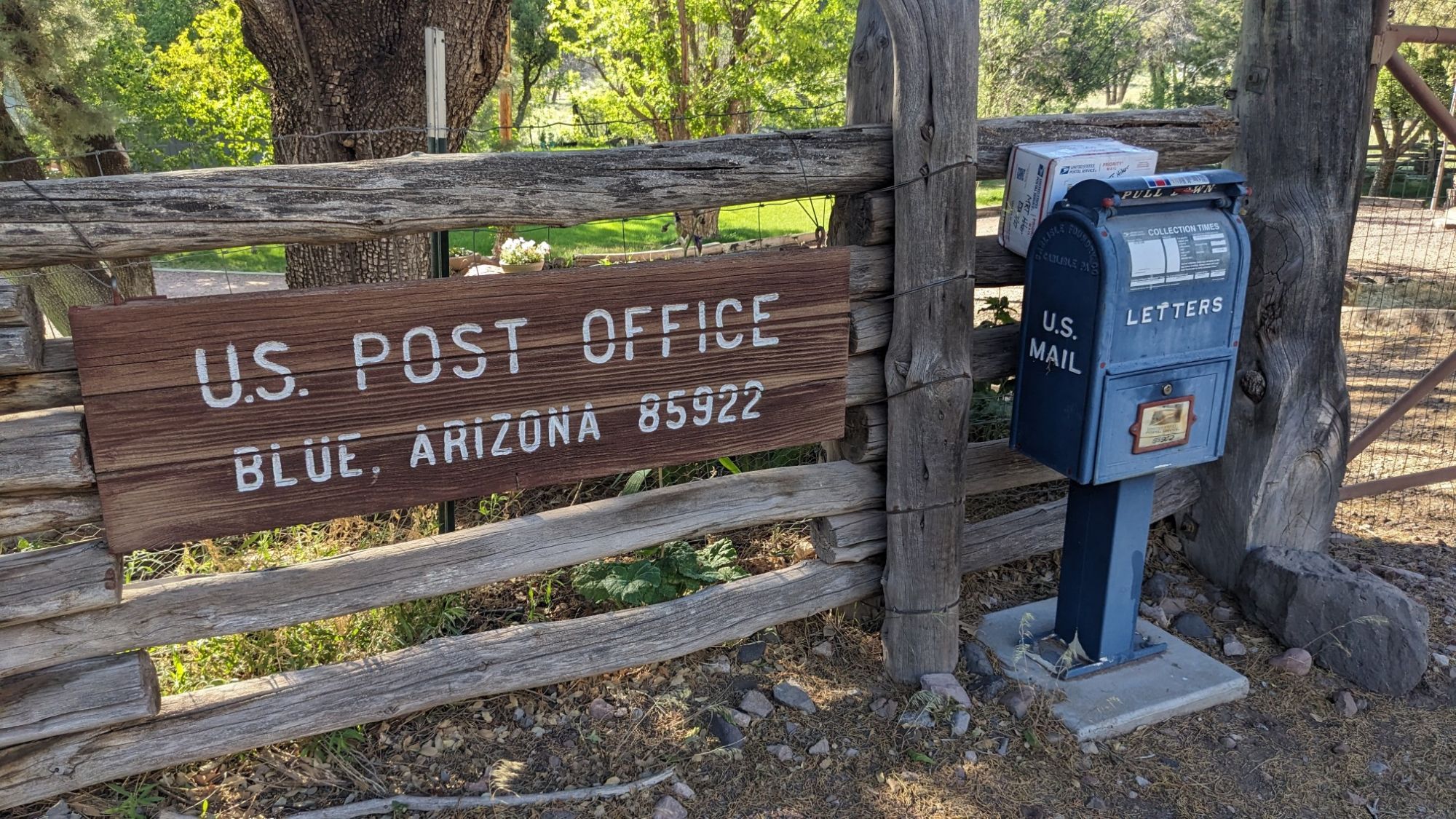
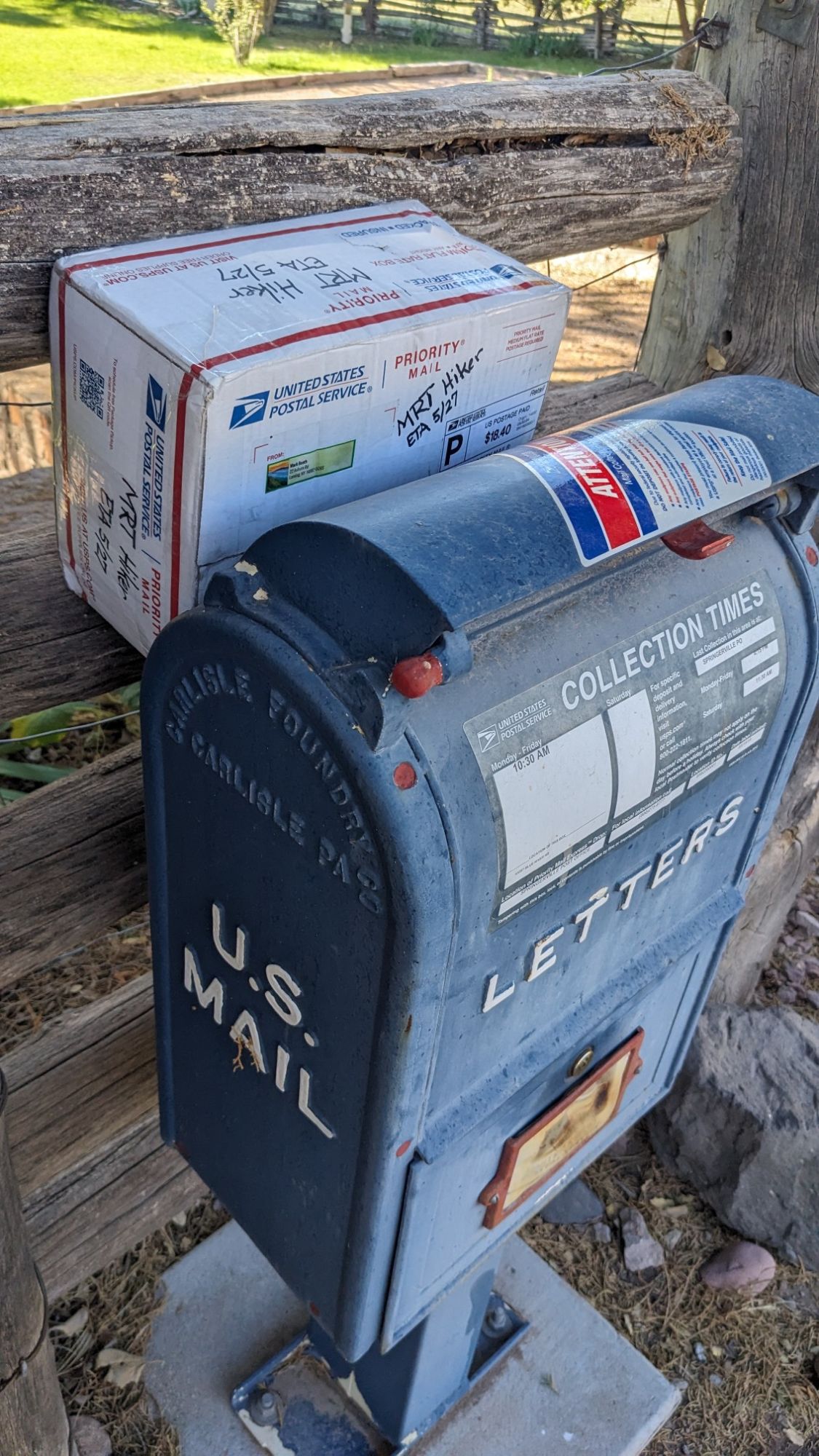
I didn’t want to sit on the side of the road in front of someone’s house (while repacking my backpack), so I carried the box back to the trailhead and unpacked it there. My parents had packed this resupply box, and it had all of the usual things plus…homemade cookies! Yum. I always say Cookie Monster is my spirit animal. While I was there, a local ranching couple passed by on their ATV to check on some cows, and we ended up chatting for a long time talking about this little valley, hiking, and life in general. Fun! I still had a couple hours of road walking to do to get to a legal spot to camp, so I said goodbye and continued on my way.
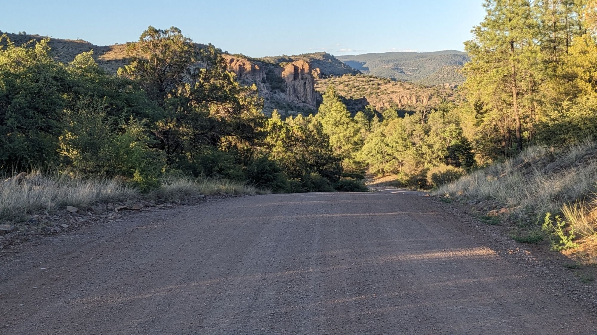
It was a nice relaxing roadwalk and not a single car went by, which wasn’t surprising given that the entire population of this valley is 42 people. The road doesn’t have any bridges, so it just fords the Blue Creek.
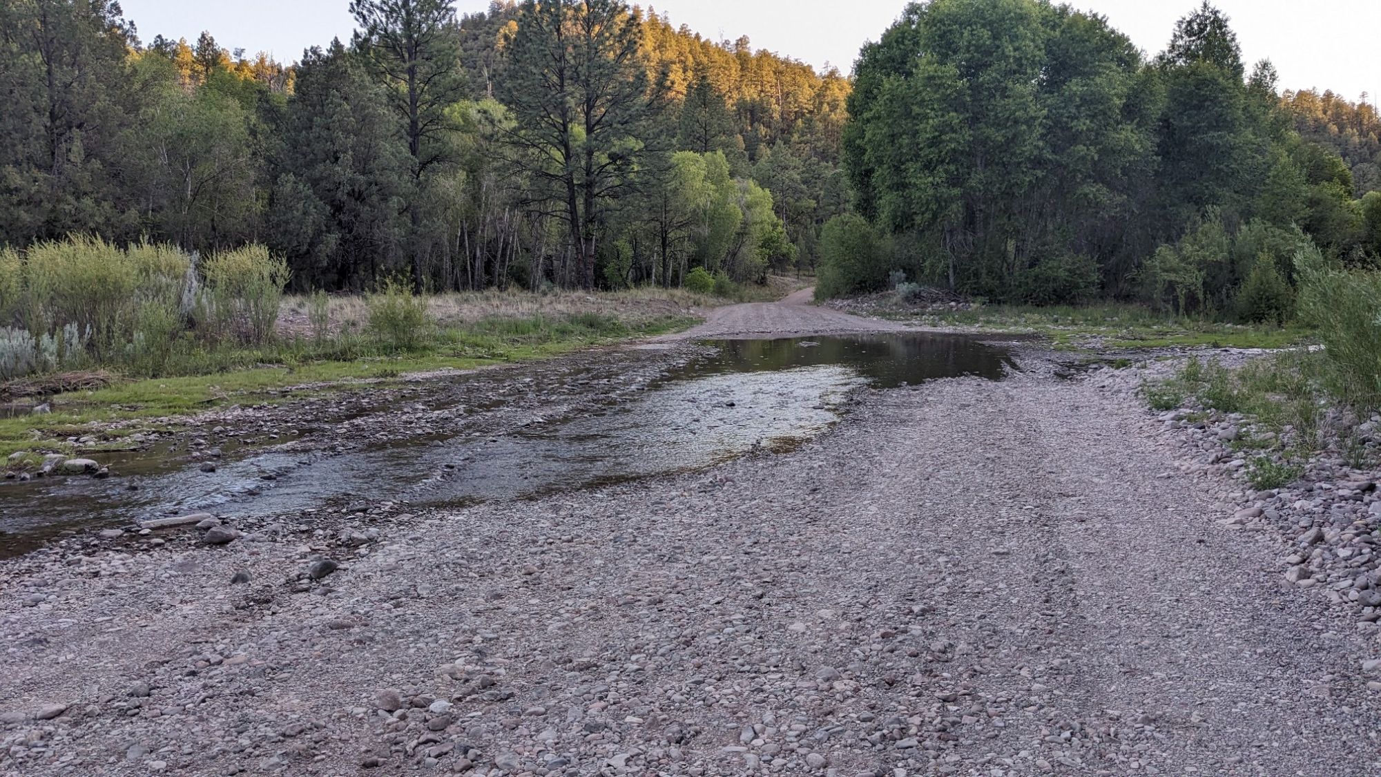
It’s only a couple inches deep, so it’s easy for cars but it meant I had wet feet again. I finally turned off the road, and got to Lanphier trailhead. The temperature is quite a bit warmer down here, since I am 3000 feet lower now, so it will be a warm night of camping.