Tuesday May 28, 23.7mi/38.1km
Government Mesa (454.3/7080ft) (AZ) to New Mexico State Line (478.0/5840ft) (NM)
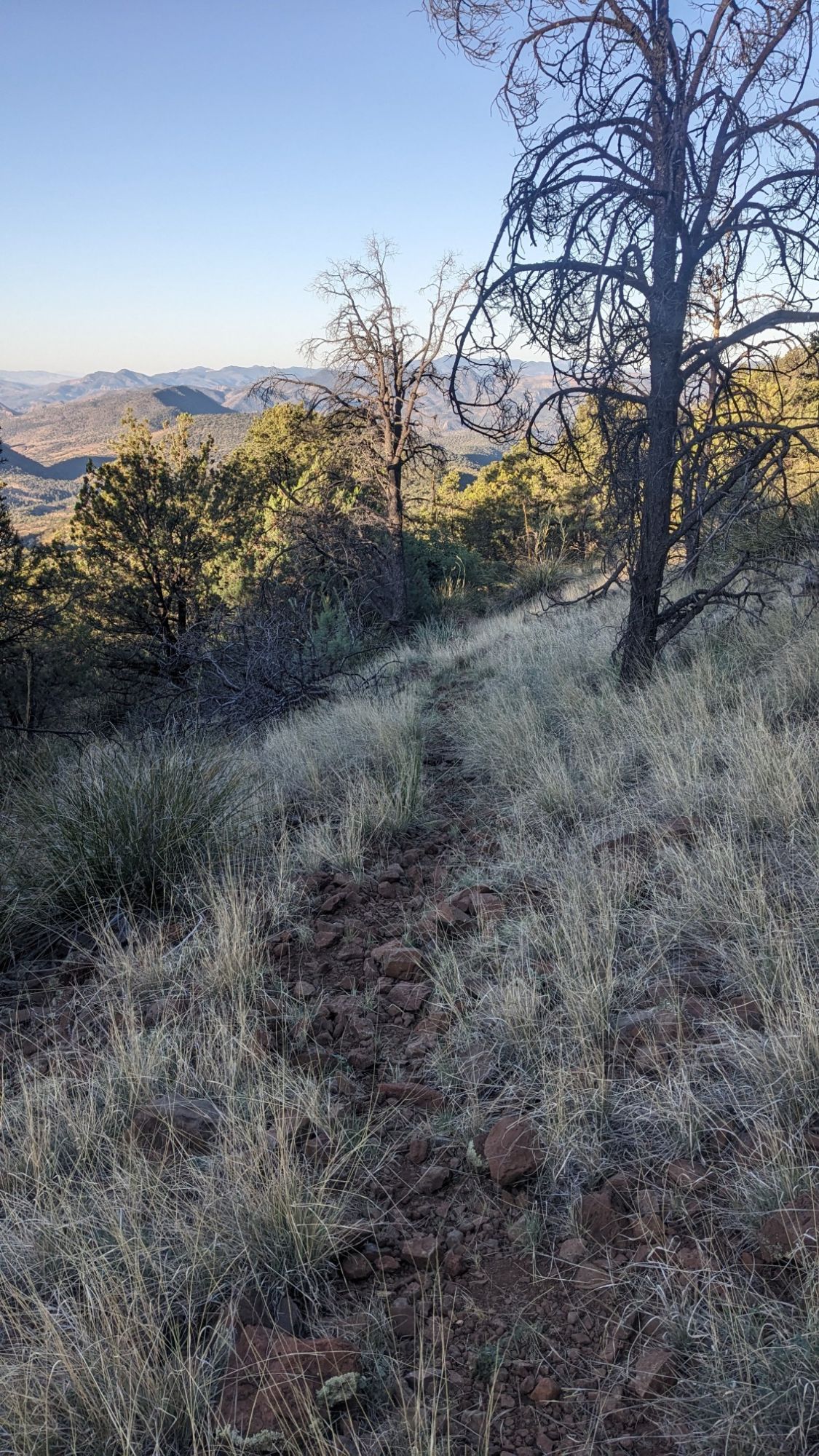
It seemed like an unusually warm night, given that I was camped at 7000 feet elevation. Which made leaving camp at 5:30am easier since it wasn’t very cold. My goal was to try and make up some miles from yesterday, and my first half of the morning was a nice downhill jaunt down a trail.
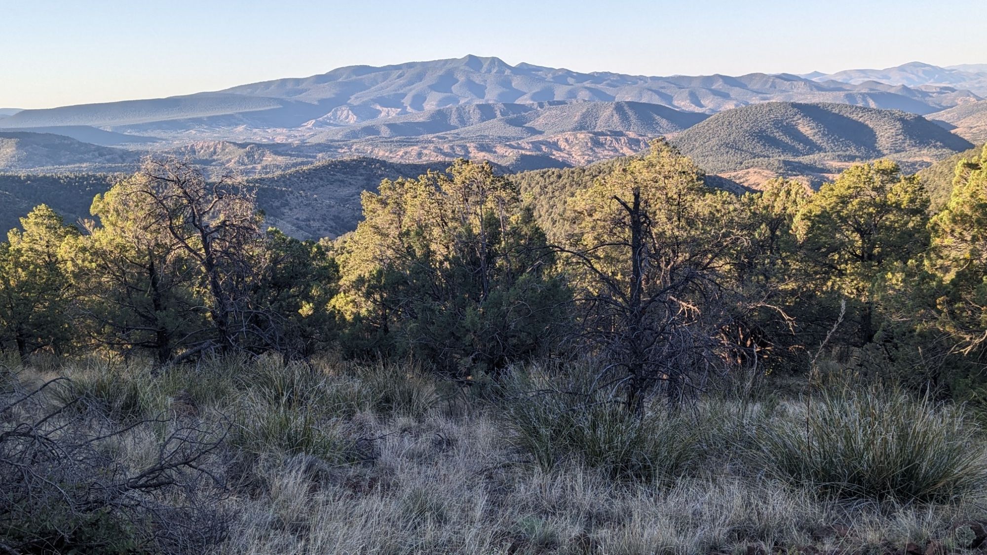
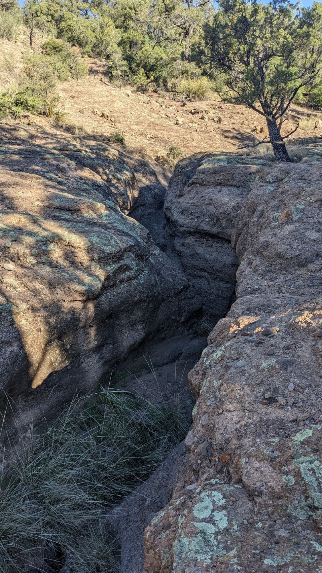
And then I followed Auger Canyon for a little while. It had some cool little mini slot canyons that I was able to easily hike around.
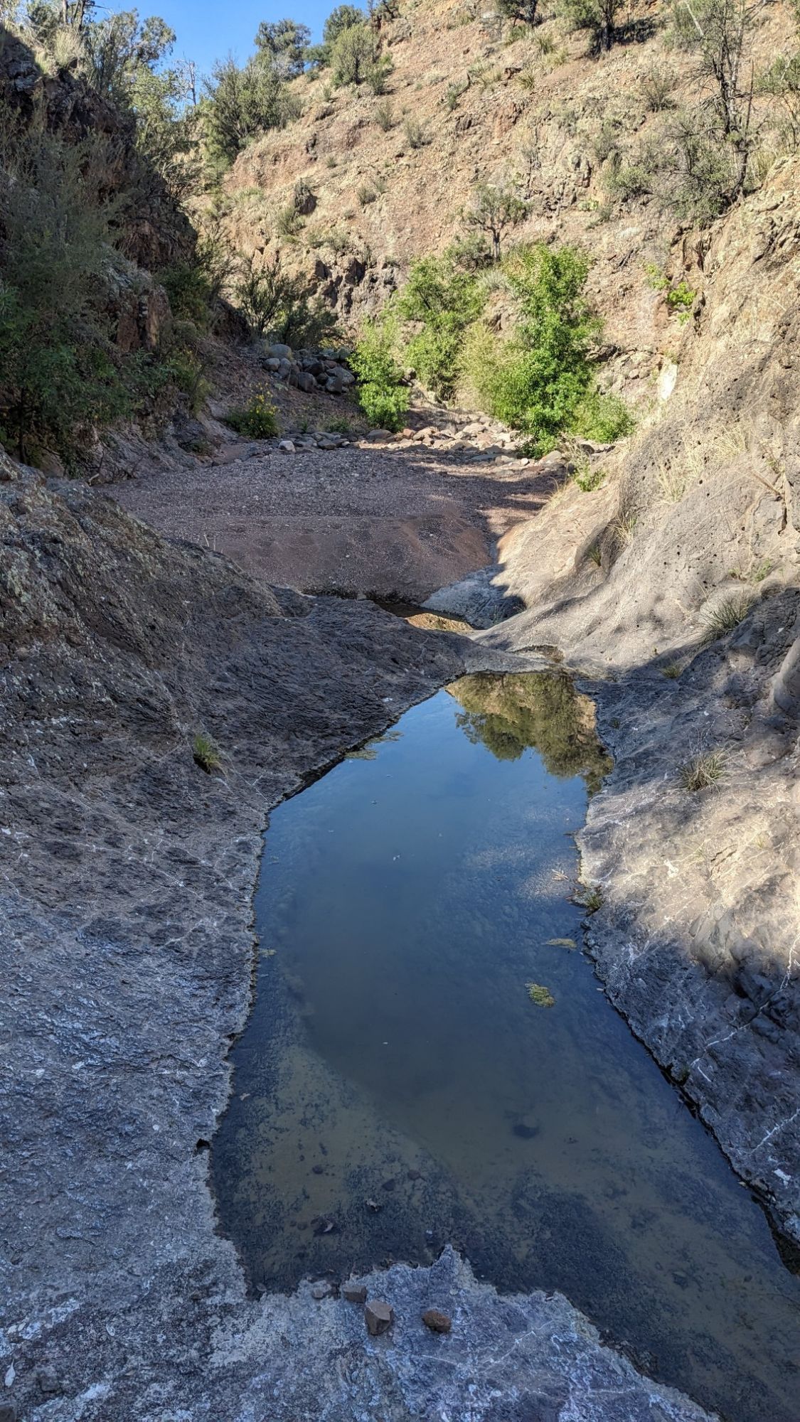
A few sections had deep pools of water where I had to scramble around the edge, since I didn’t want to wade through waist-deep water.
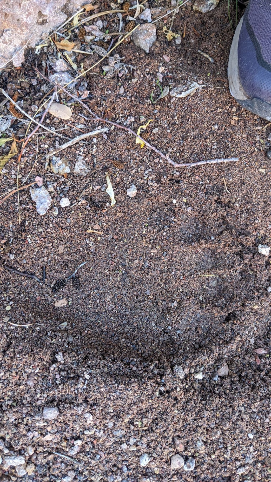
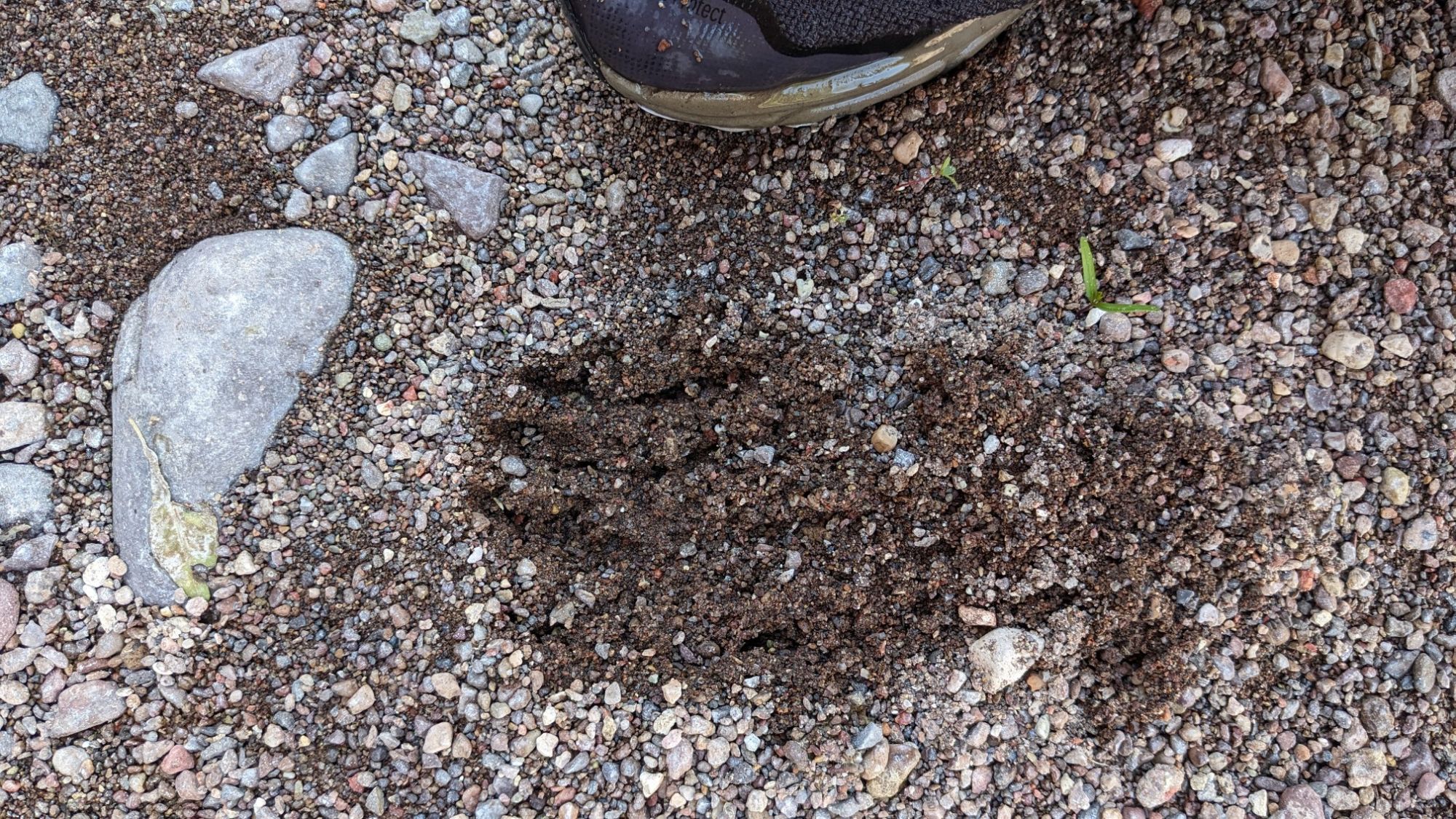
And then there were these interesting tracks in the sand, I’m guessing bear.
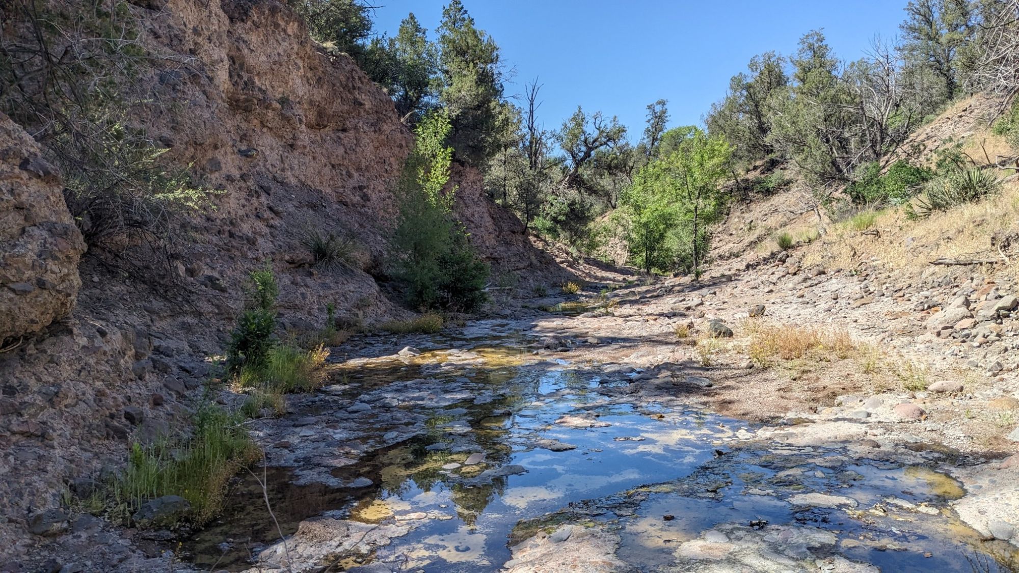
Some sections of the canyon had these little slickrock areas, which were easy to walk through since it was like a sidewalk.
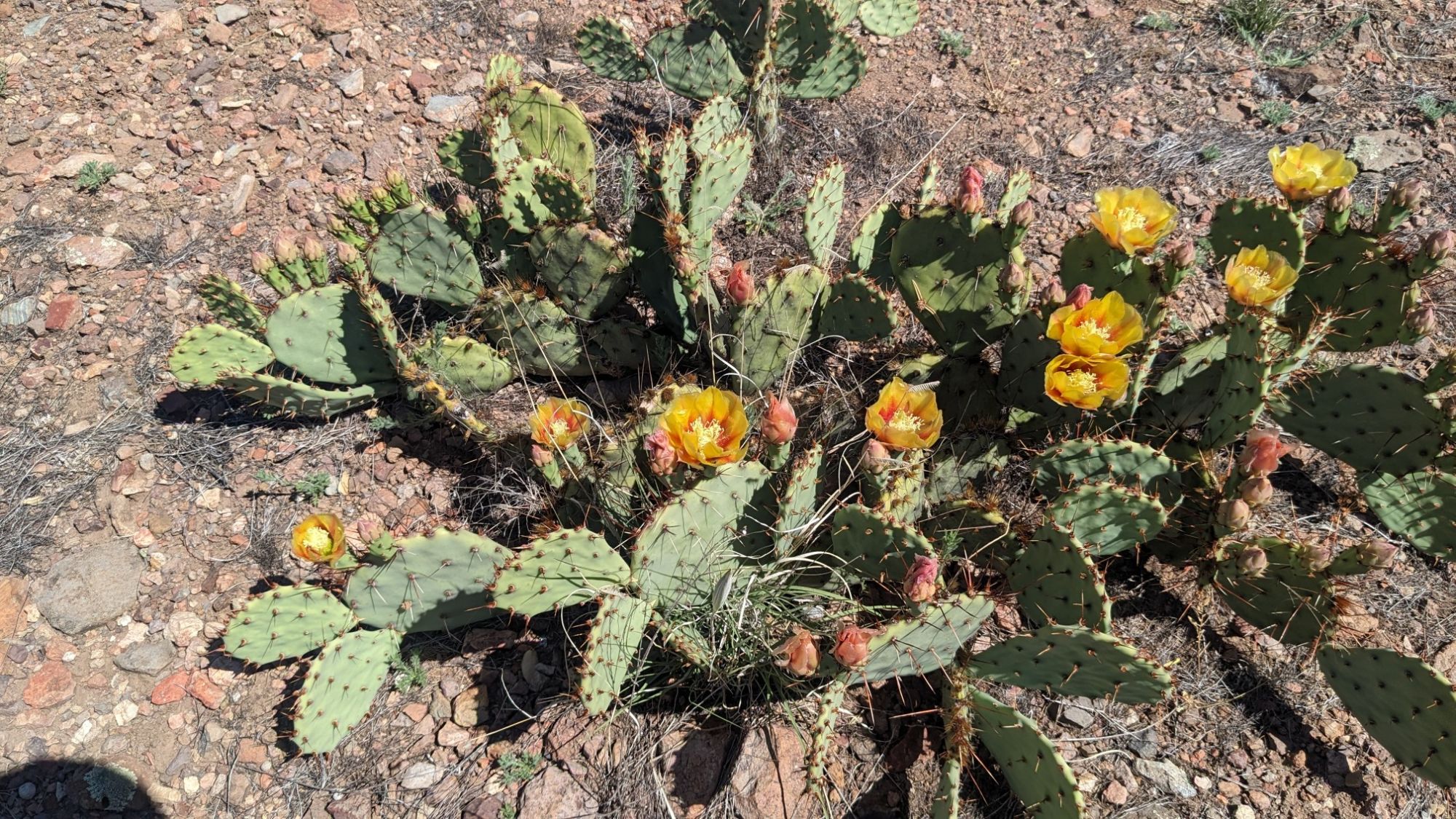
I had to leave the canyon for a short distance to get around an impassible pour-off. I hiked up into the surrounding hills for a couple miles before dropping back down into the canyon. All the desert flora up there was blooming.
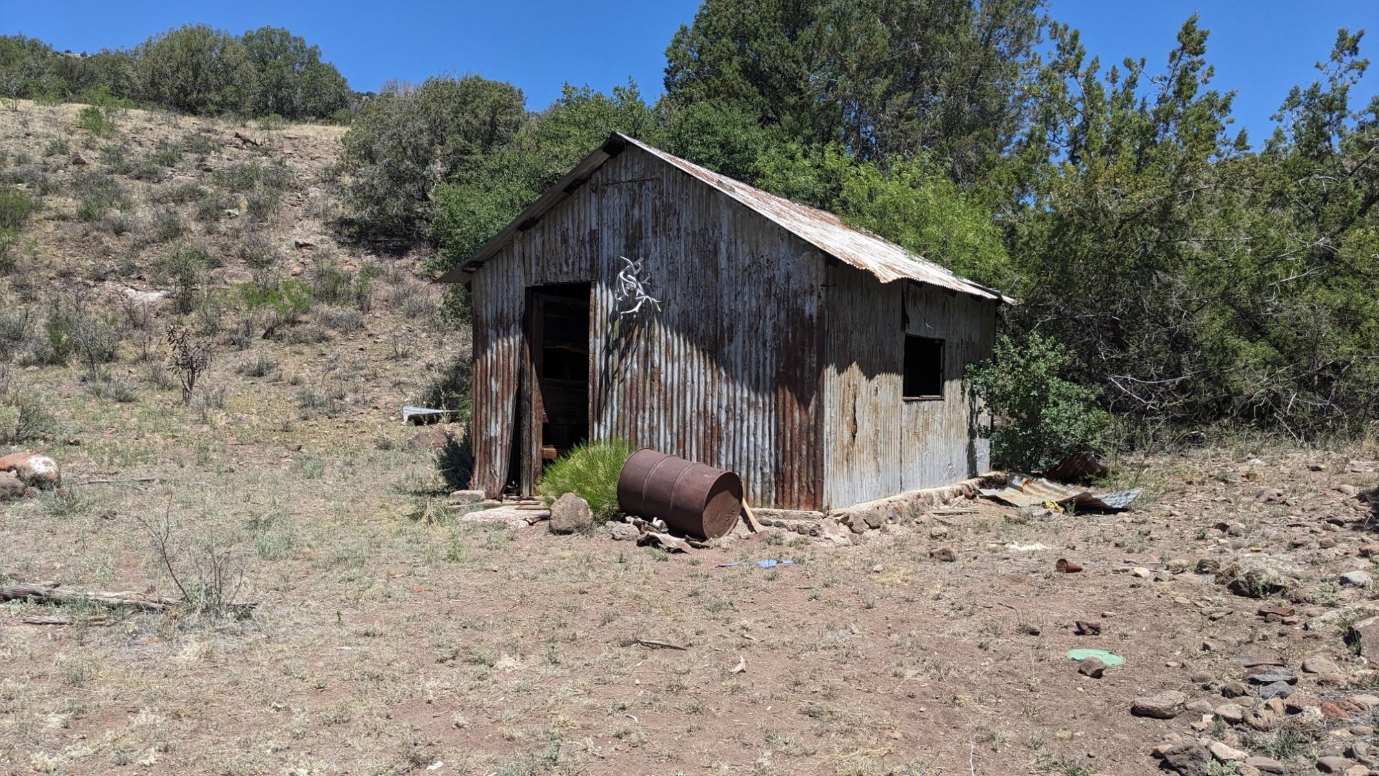
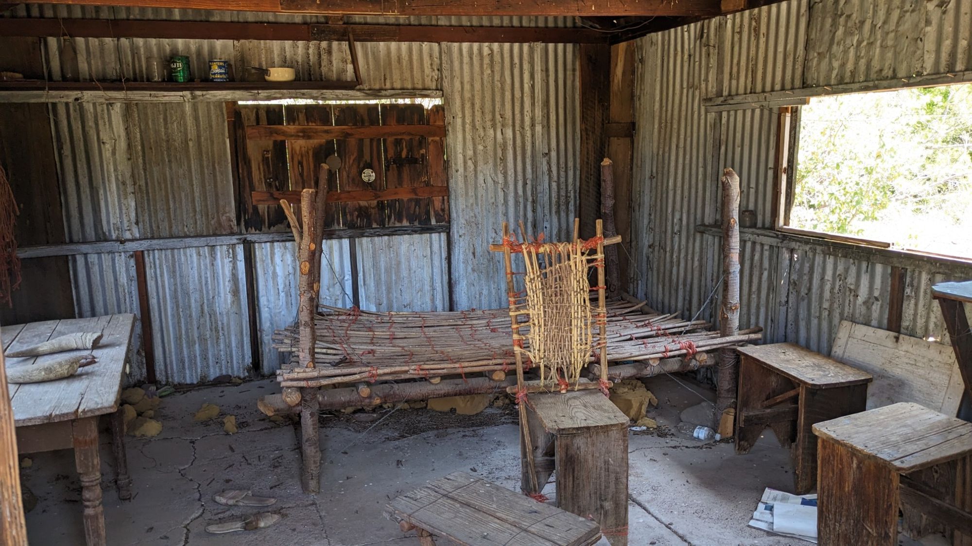
After I dropped back down into Auger Canyon, I took a break where it merged with another stream and I noticed a cabin nearby.
The inside of the cabin looked like an old-timey residence from a Western movie.
I was back in the canyon, following Little Blue Creek through a slot canyon system.
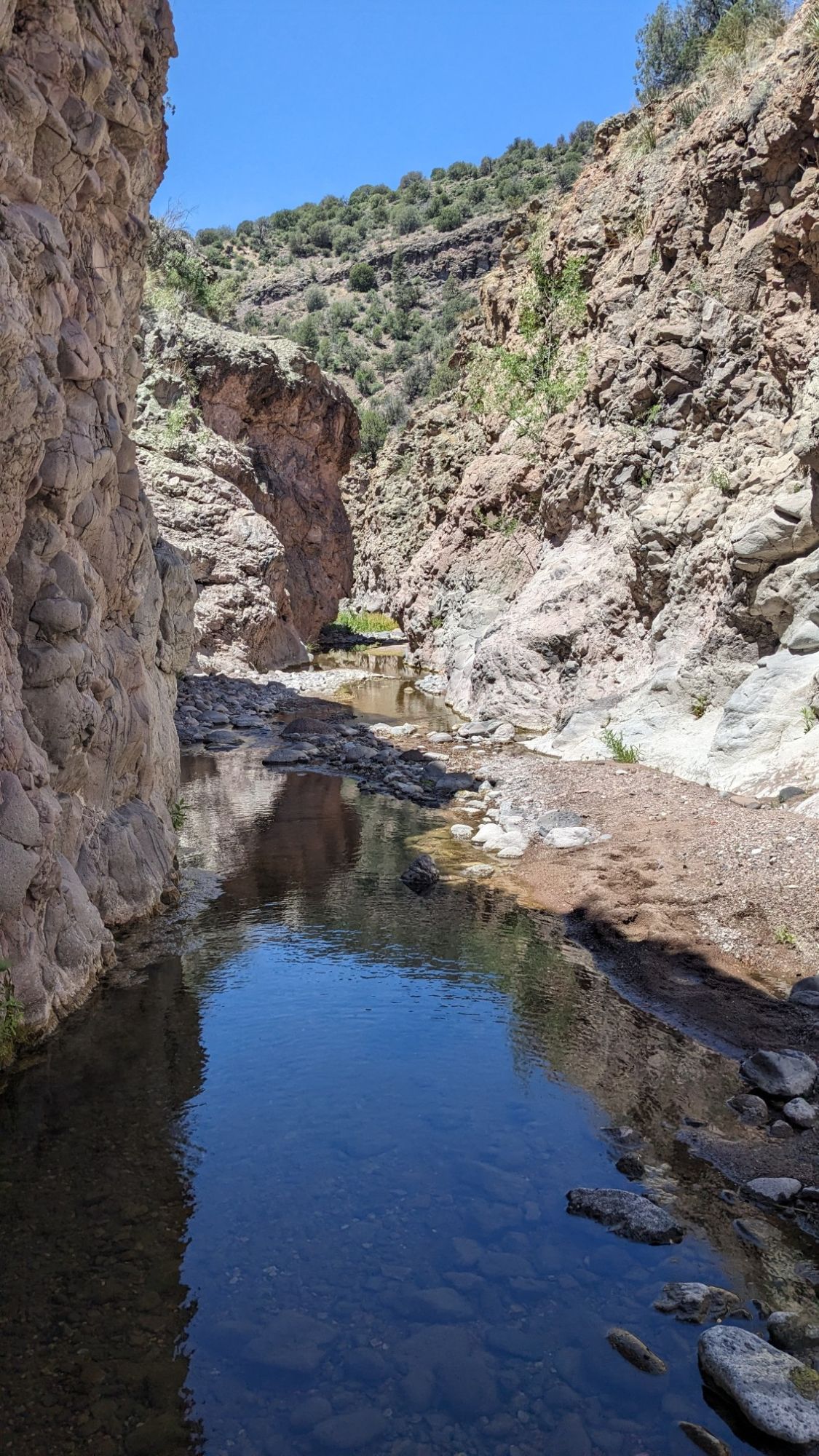
I walked through the shin-deep water for awhile and while it wasn’t fast progress, it was extremely enjoyable to walk through such a special area. Occasionally there was a gravel bar or sandbar and these all had animal tracks on them, which I suppose makes sense since it’s the only passage through this area.
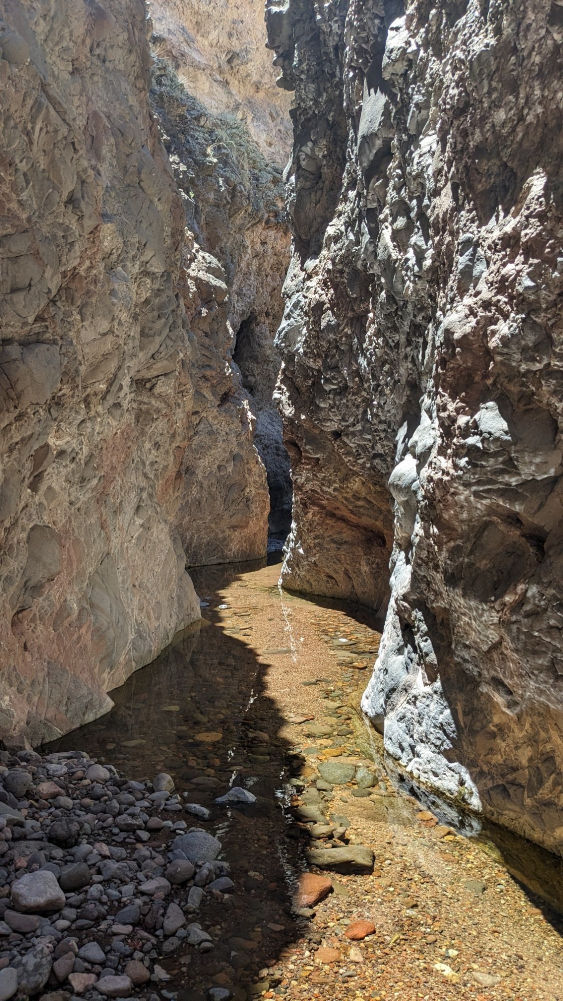
The narrow section of the slot canyon was called Blue Box, and it was the coolest thing of this entire section, and maybe of the entire hike.
After a mile that slot canyon ended, and I was back in the normal wide stream corridor.
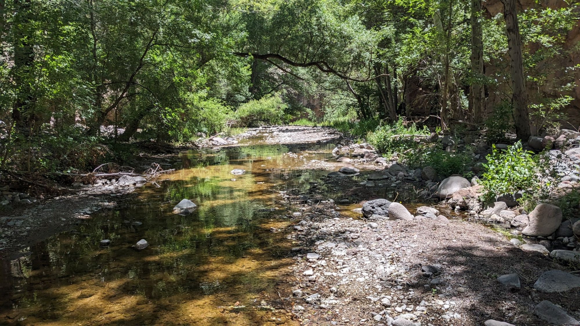
I followed Little Blue Creek all the way down to where it merges with the Blue River, which I had crossed two days ago. Once I was out of the canyon and on an open plain, all the desert vegetation had returned.
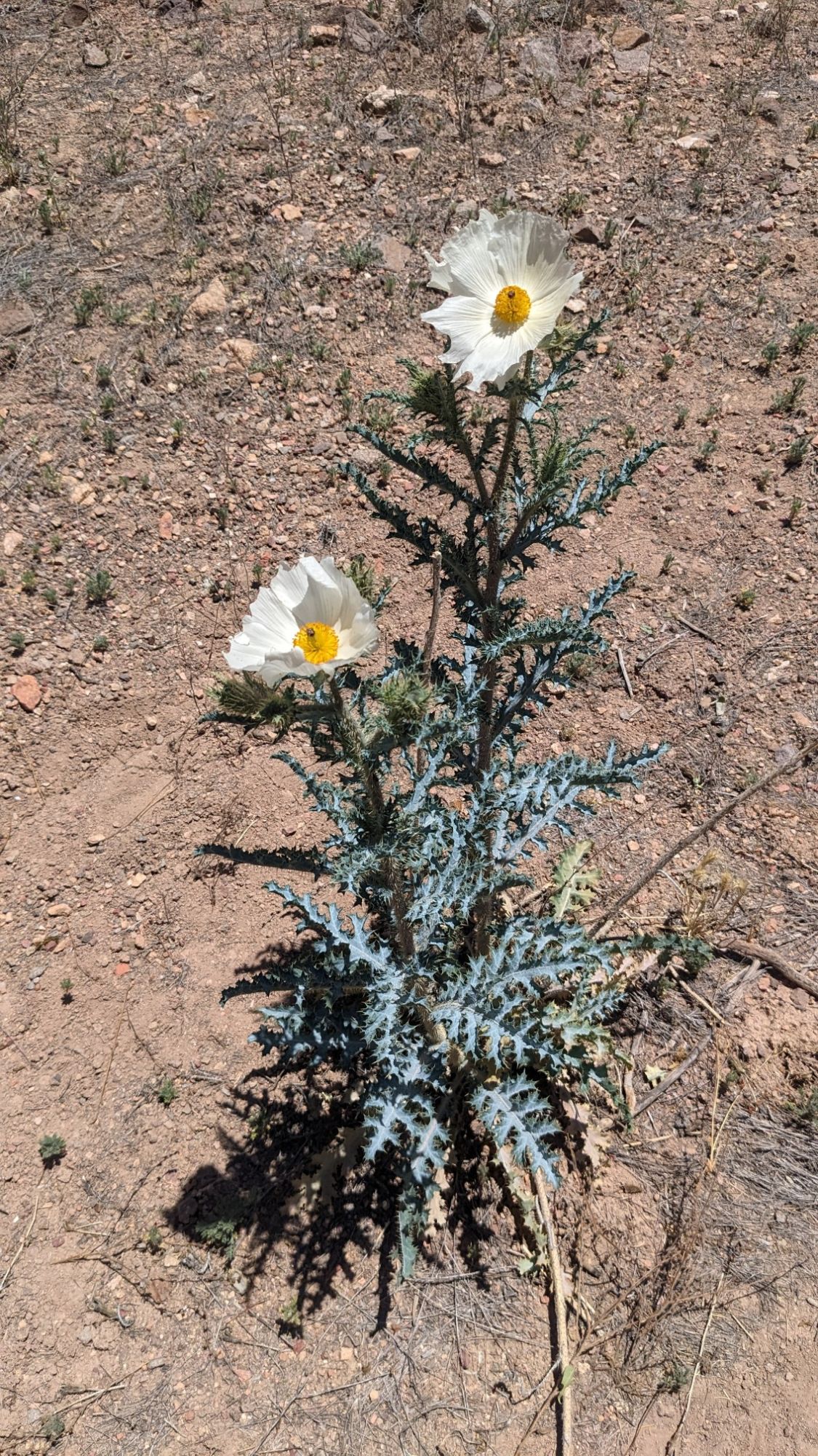
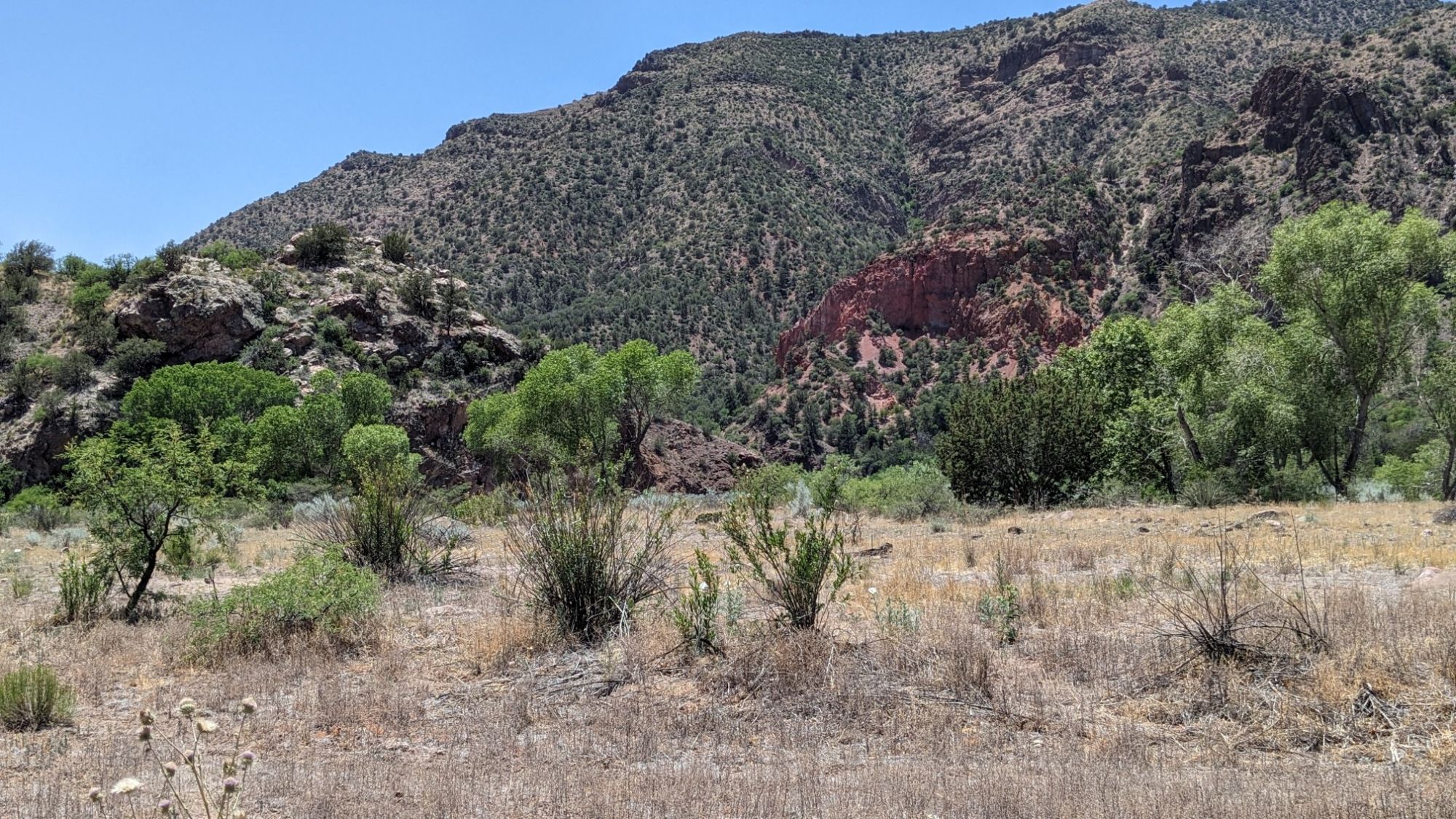
I had to wade across the Blue River a couple times, and then I stopped for lunch on the river bank in the shade of a cliff.
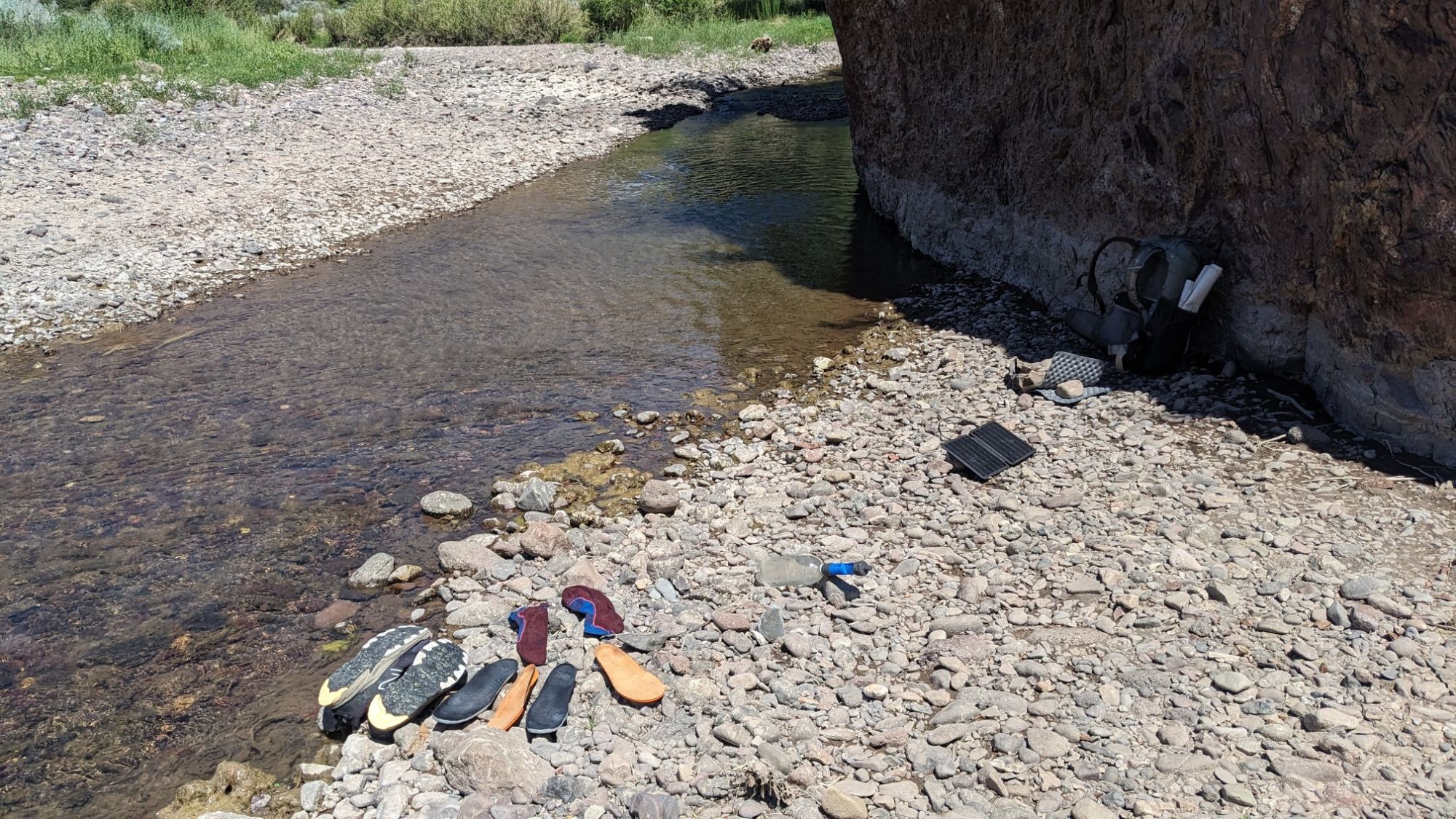
I had a little yard sale washing all the gravel out of my stuff and drying it out. It was very hot out, so I was in no hurry to leave my shaded spot, but the Sun was moving and my shade was disappearing. And now had to hike uphill 2500 feet, on an exposed and sunny trail.
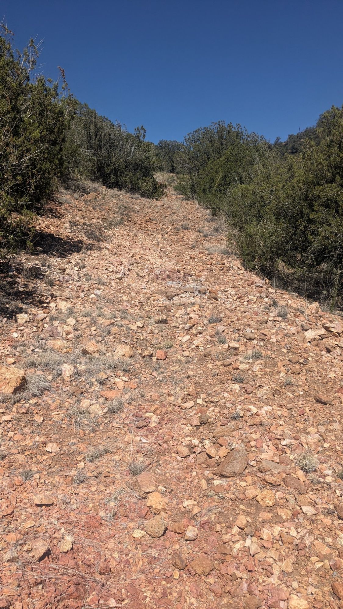 The umbrella definitely came out for that!
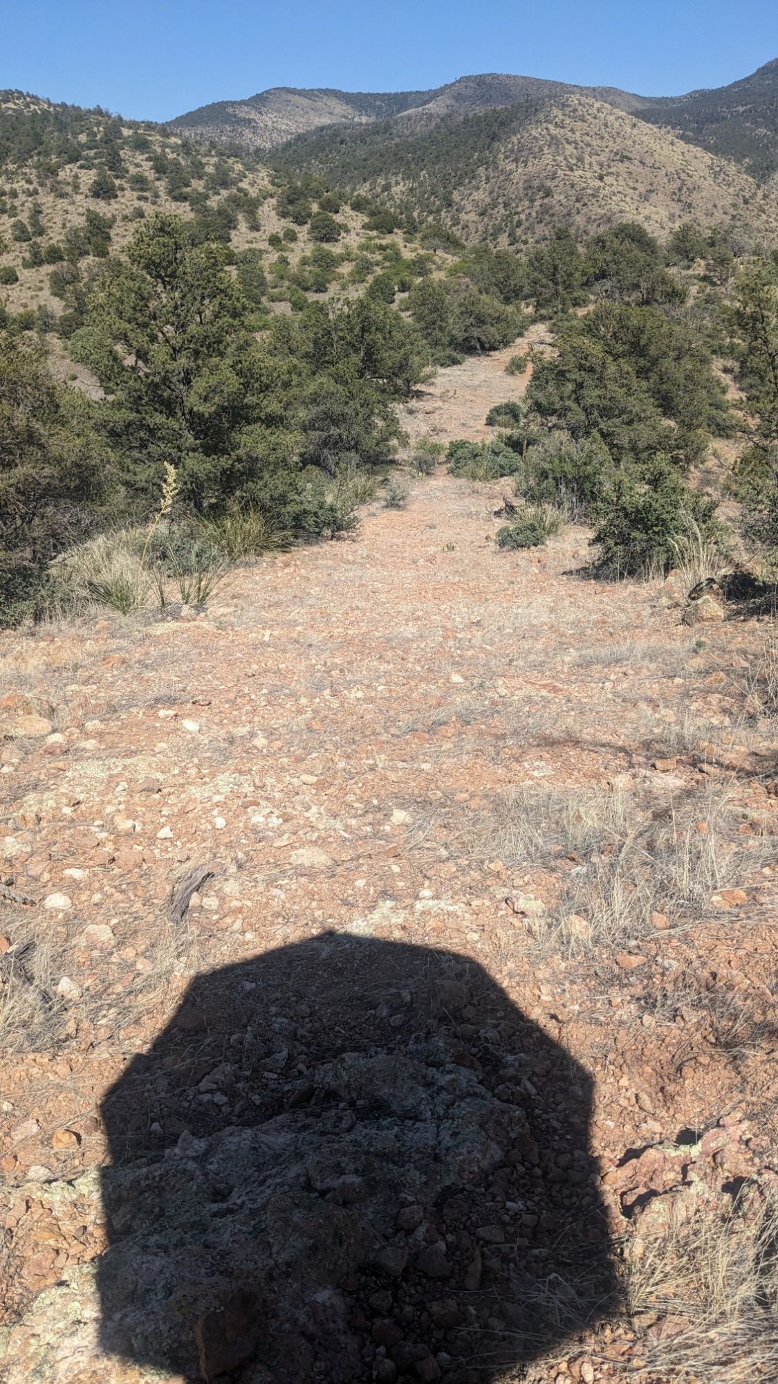
As I got higher, I did have pretty amazing views to distract me from all the sweat.
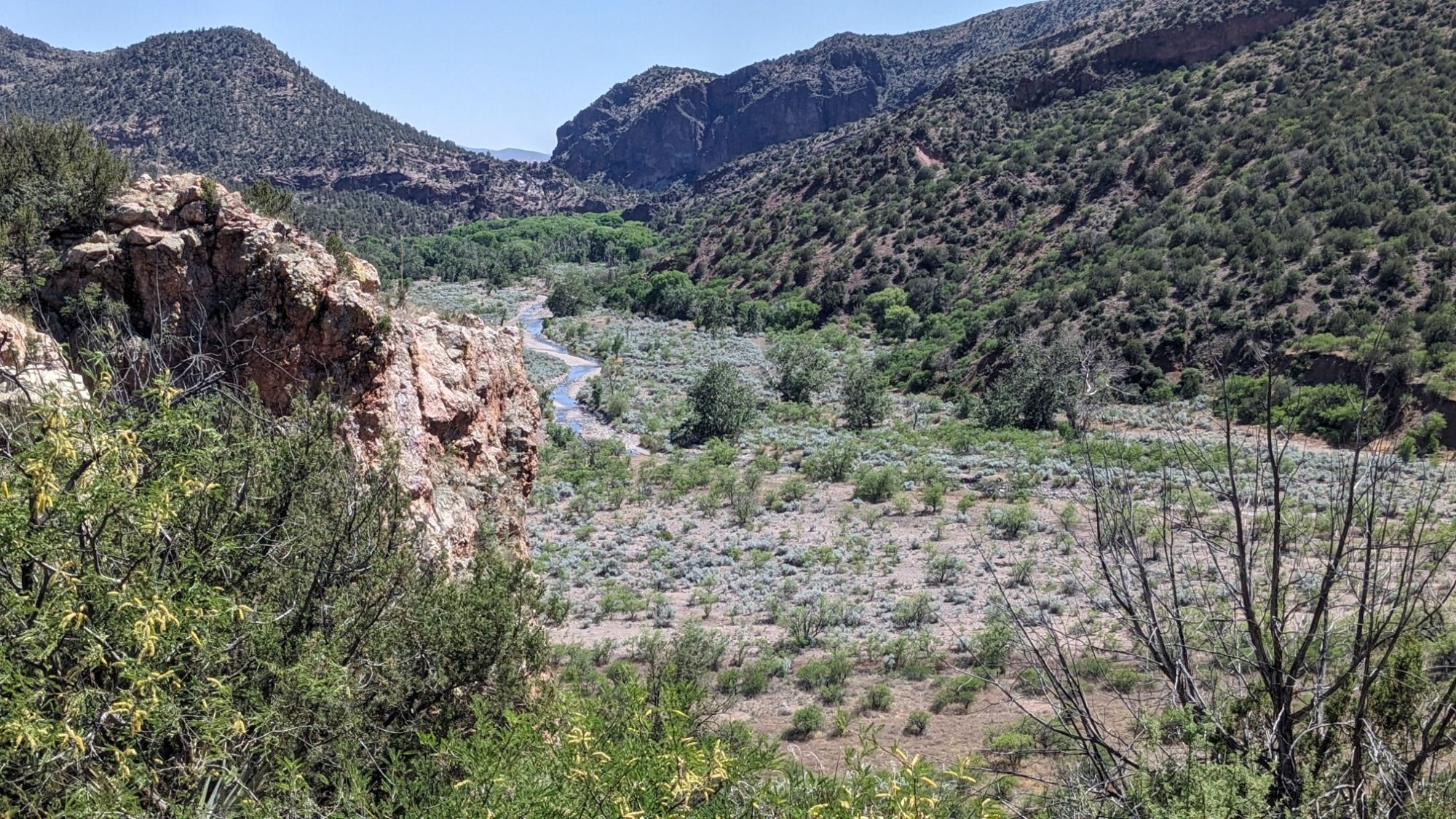
It was a pretty decent trail and it switchbacked and weaved around a ridge system, and eventually I could look back down on the ridge that I had hiked up on.
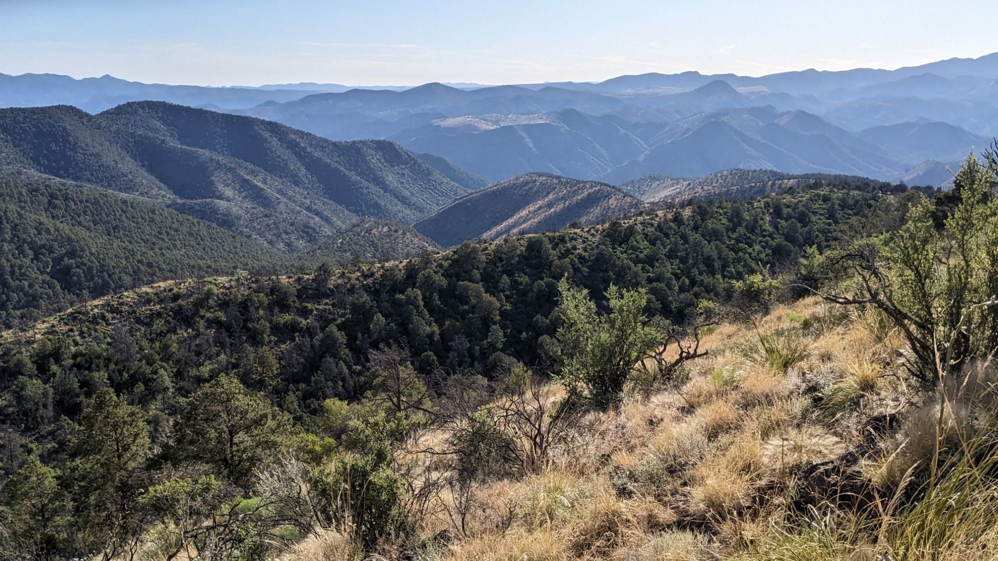
Once I was back up higher again, I noticed that some of the greenery and trees had returned.
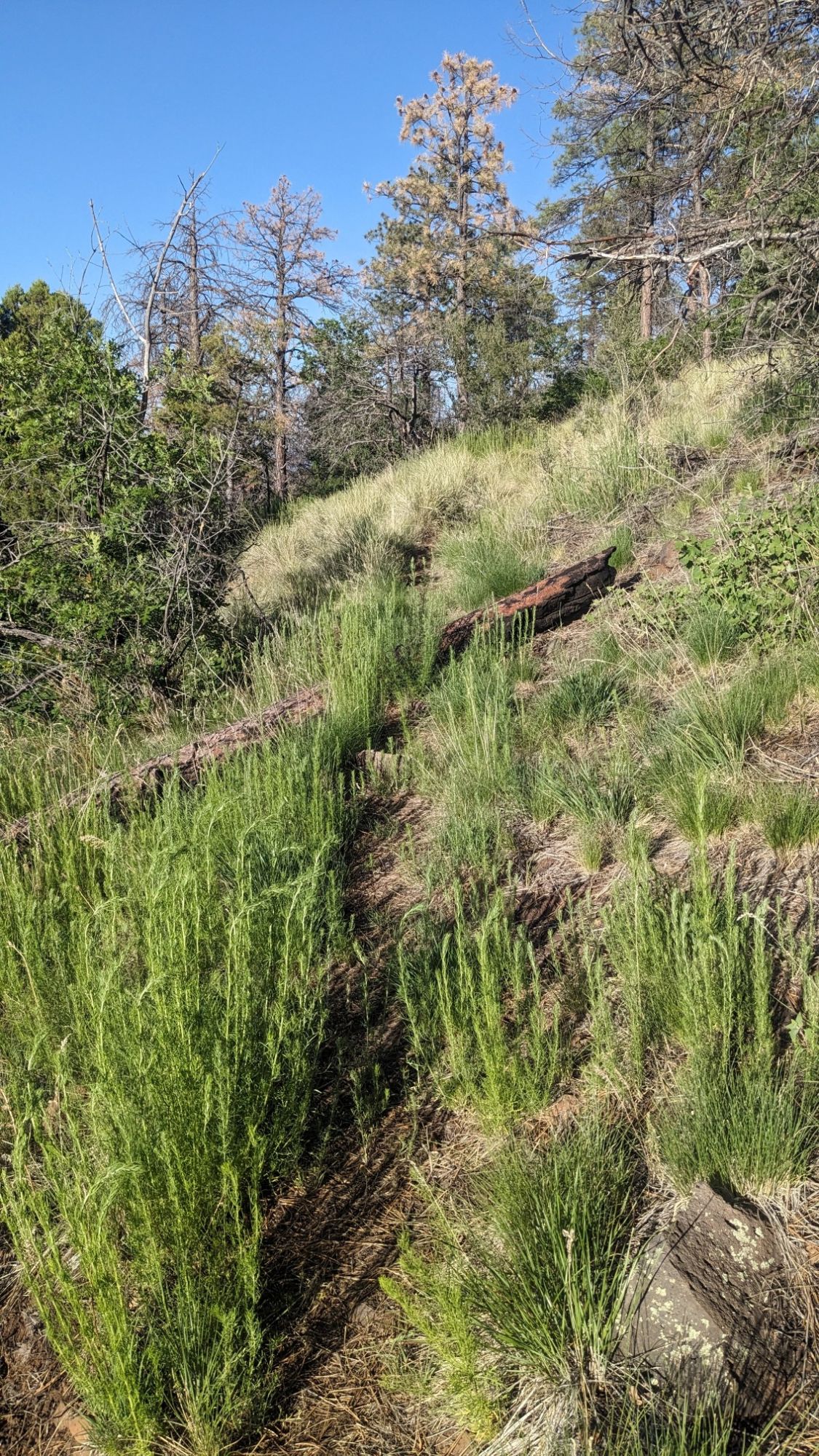
It was also cooler now, since the Sun was getting pretty low in the sky and everywhere was in shadow. Finally I hit the old road I had been anticipating for awhile, which meant that I was almost done.
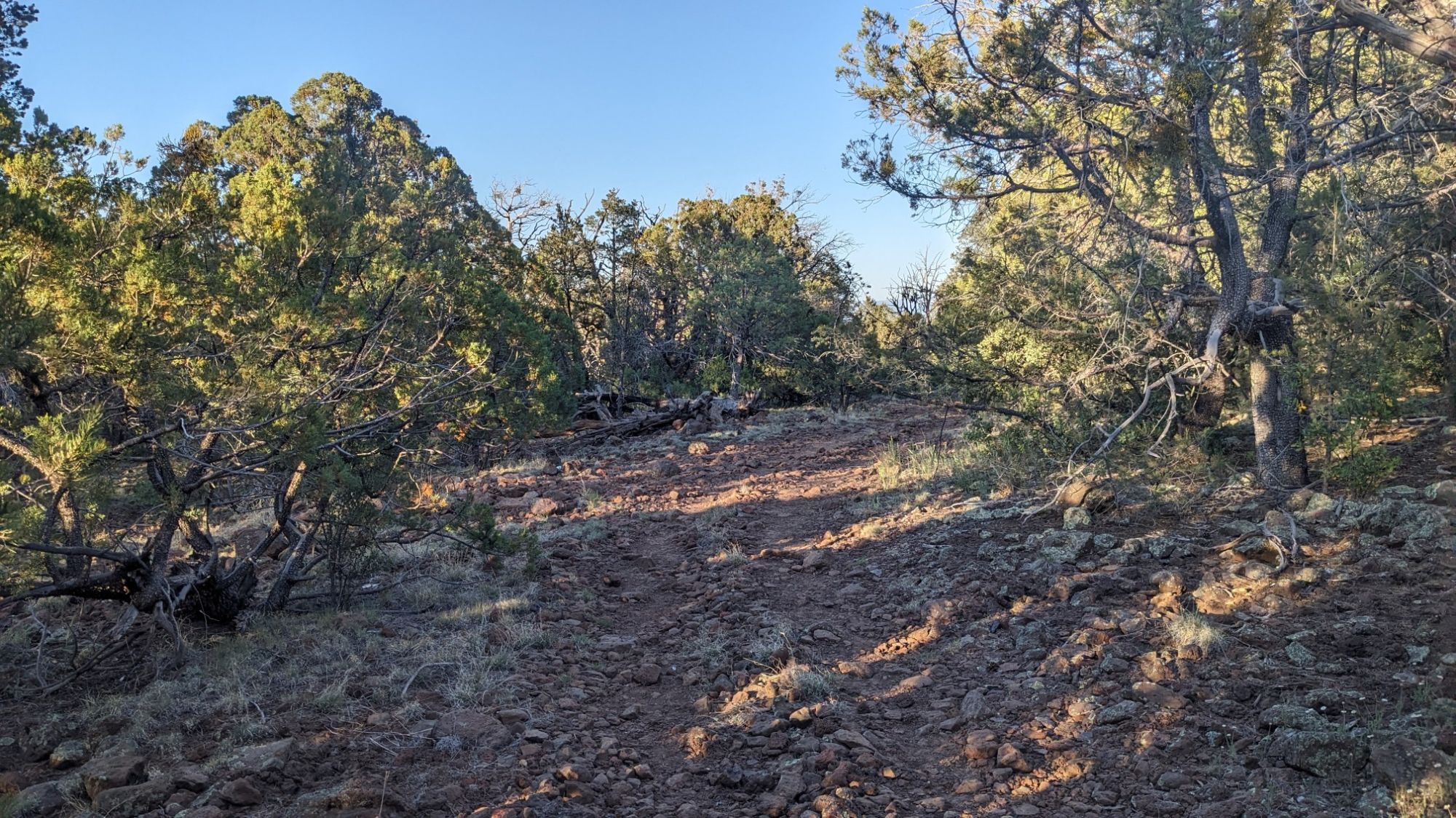
It was getting pretty close to dark, but I didn’t mind as the temperatures were perfect and the road would be easy to follow in dim lighting. Finally at 7:30pm I made it to the gate which marks the border of Arizona and New Mexico.
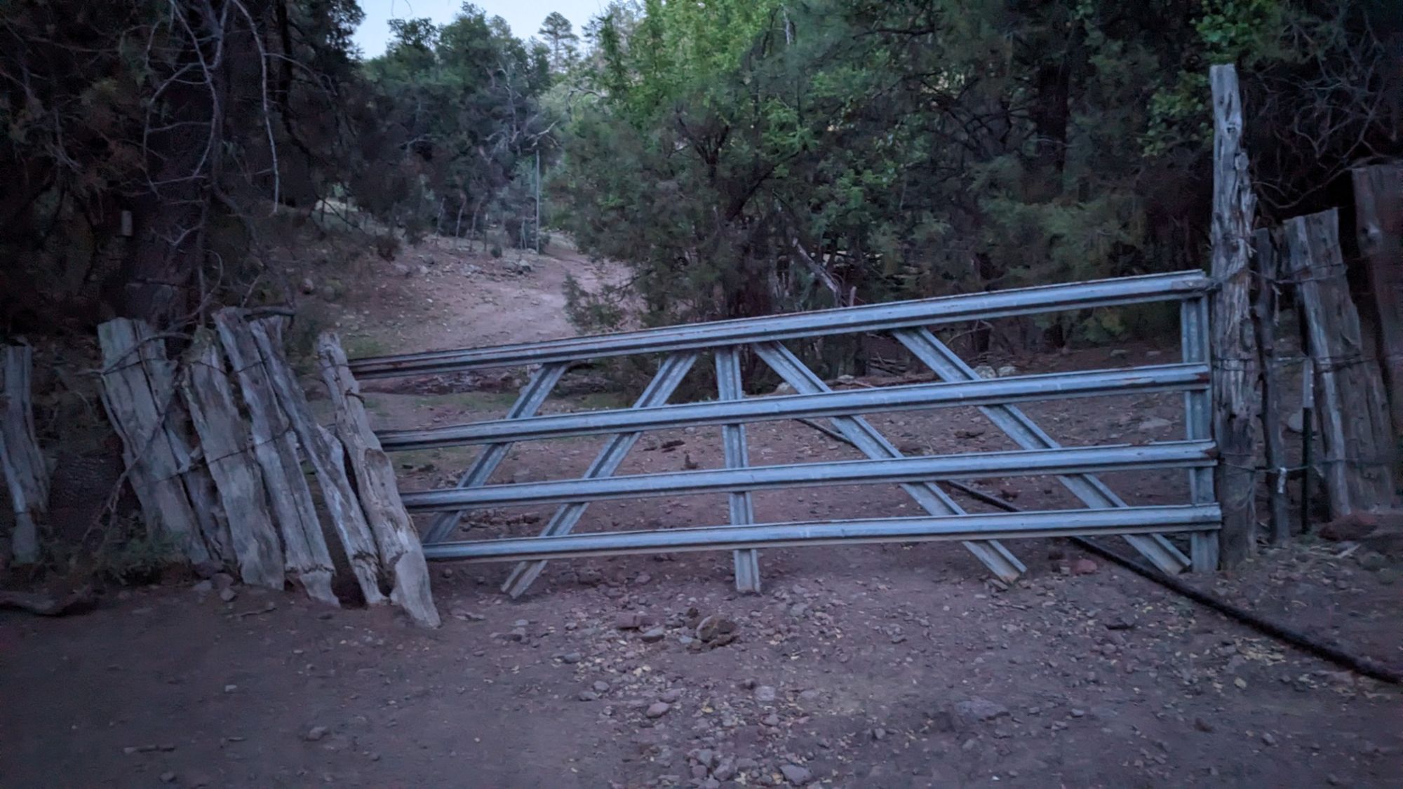
Which meant that I had also finished the Mogollon Rim Trail! The guidebook says to “pass into New Mexico un-ceremoniously or otherwise”. I chose otherwise. There was a little bit of dancing and some singing of a Shakira song that I had stuck in my head all day. Ha! It was such a long day, but there were so many cool parts that I didn’t even mind how tired I was after hiking for 13 hours. Tomorrow I’ll still have to hike another 10 miles to get out to civilization, to Alma NM.