Wednesday October 5, 29.6km/18.4mi
Ormiston Lookout (36.0/716m) to Unnamed valley campsite (63.1/835m) (NT) +2.5 Ghost Gum loop (NT)
I was awake and sunrise and was looking forward to some early morning hiking in the cooler temps.
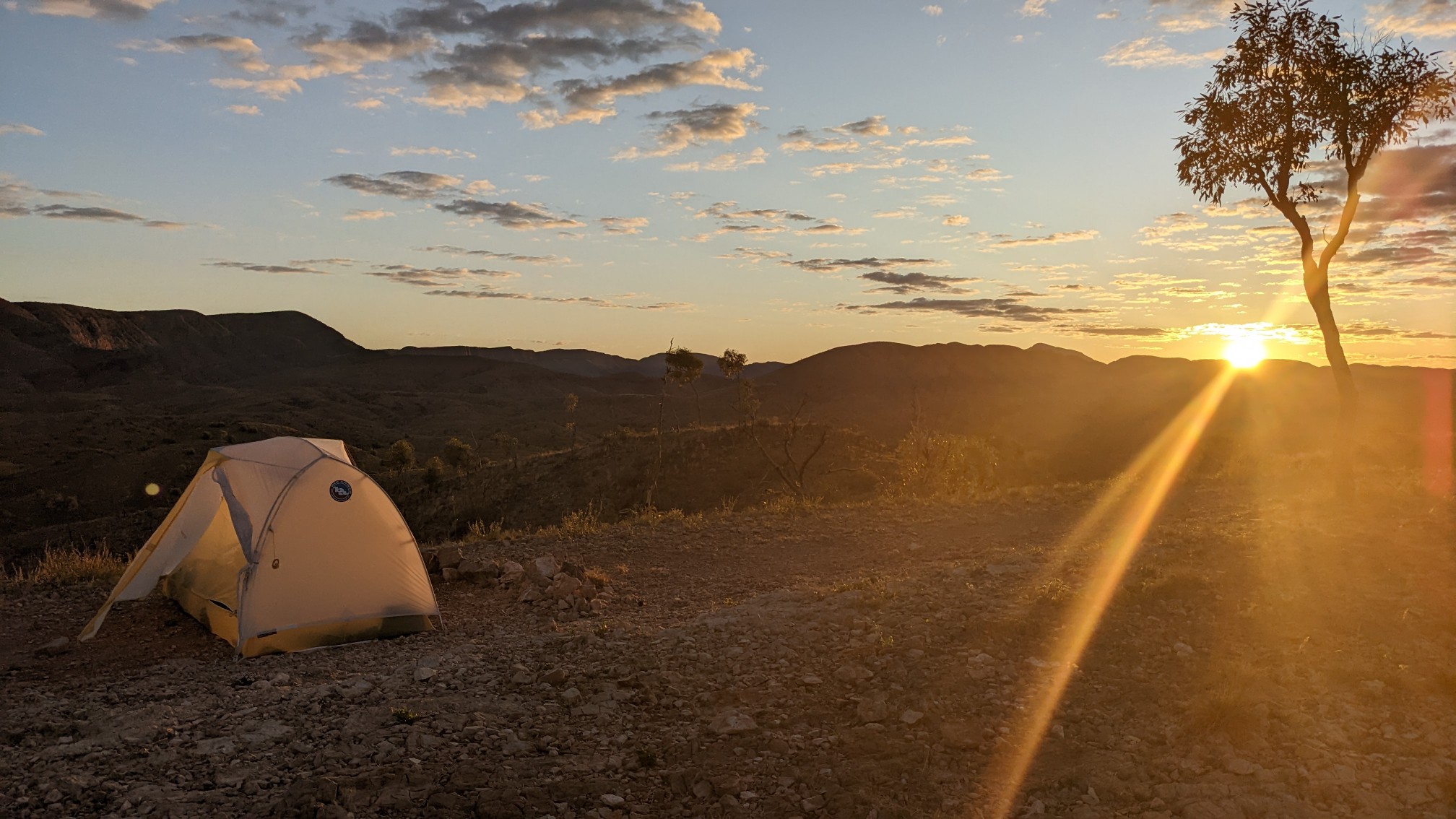
The first 5km with by quickly, with some gently rolling terrain and nice views.
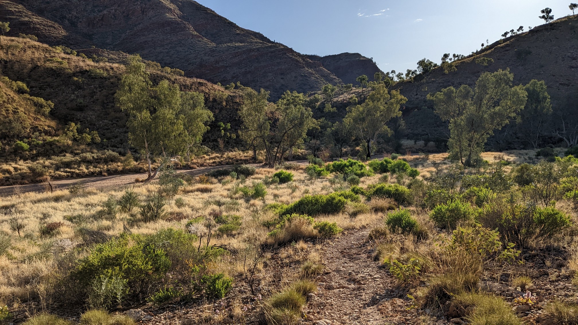
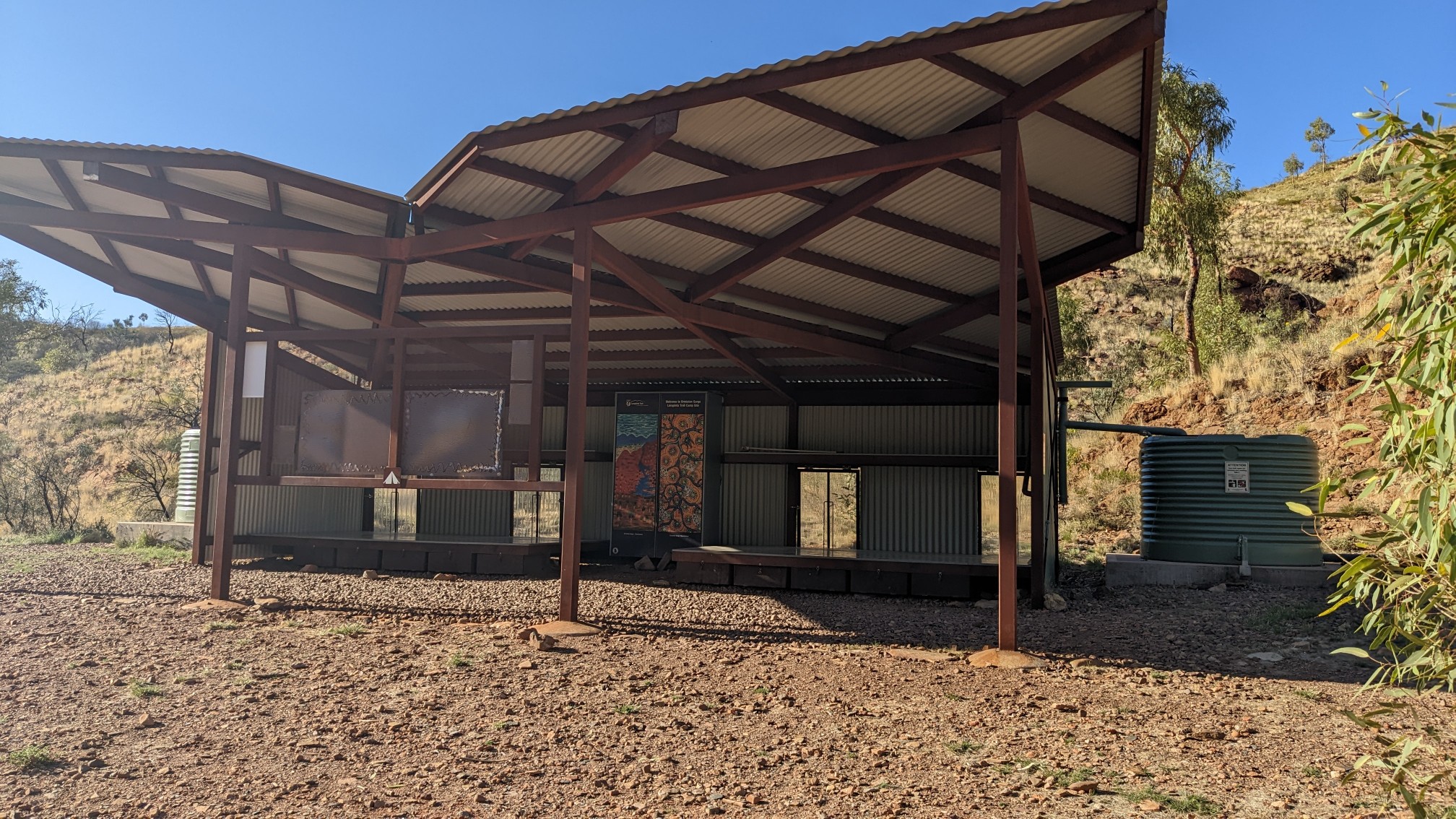
I stopped at the Ellery campsite and refilled my water bottles. All these campsites are so built up and look pretty new.
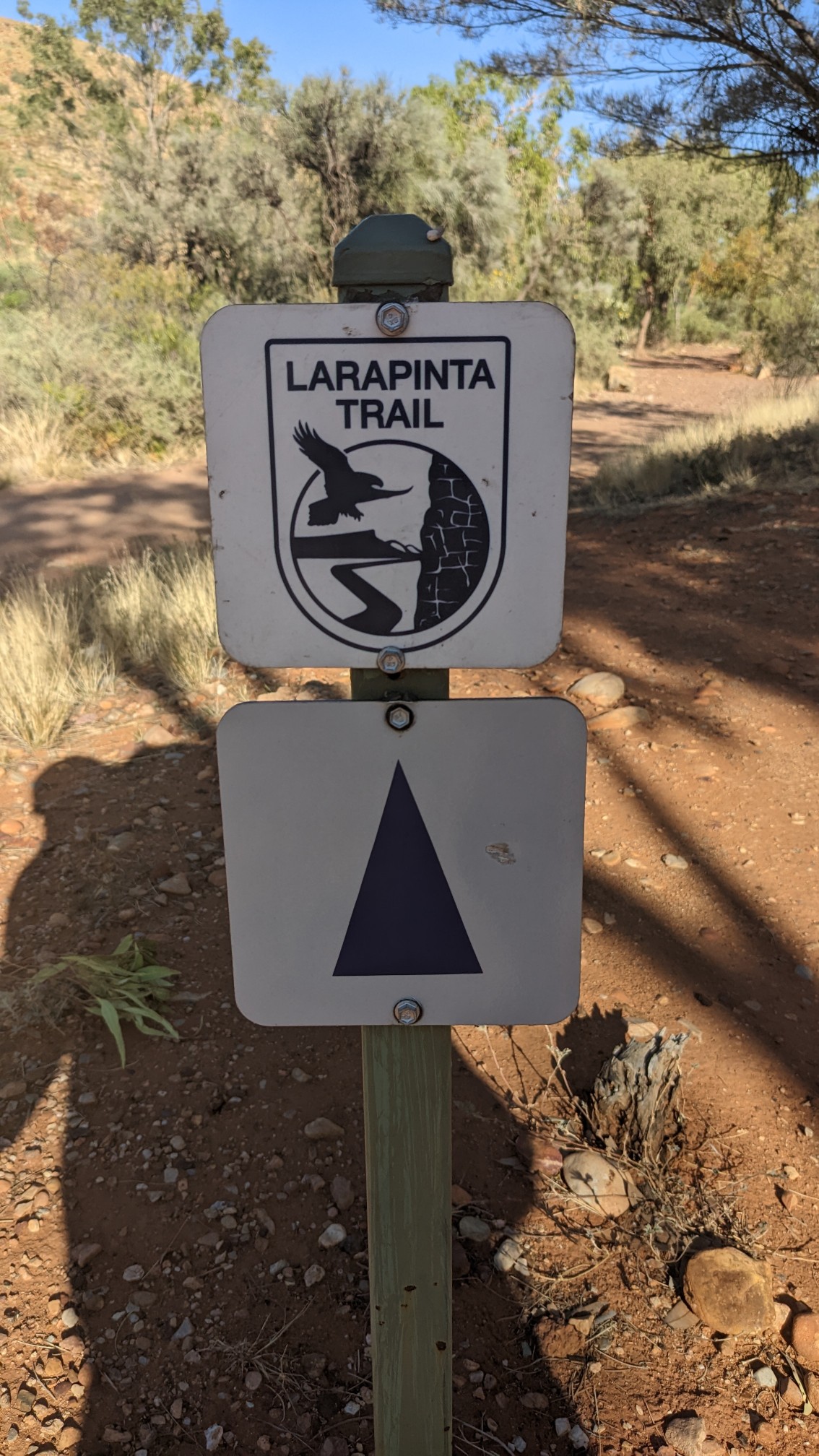
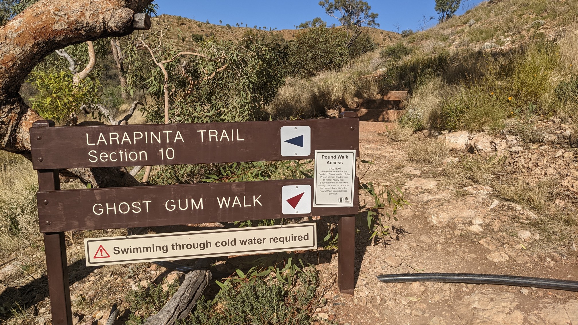
I saw the first Larapinta trail marker (all the markers so far have been generic).
The Ellery Gorge is a big tourist attraction, with car campsites, showers, a cafe, and a swimming area. There are a few loop hikes you can do, I chose to do a shorter 2.5km hike called the Ghost Gum walk. Based on the sign, I knew I was going to love it. “Swimming through cold water required”.
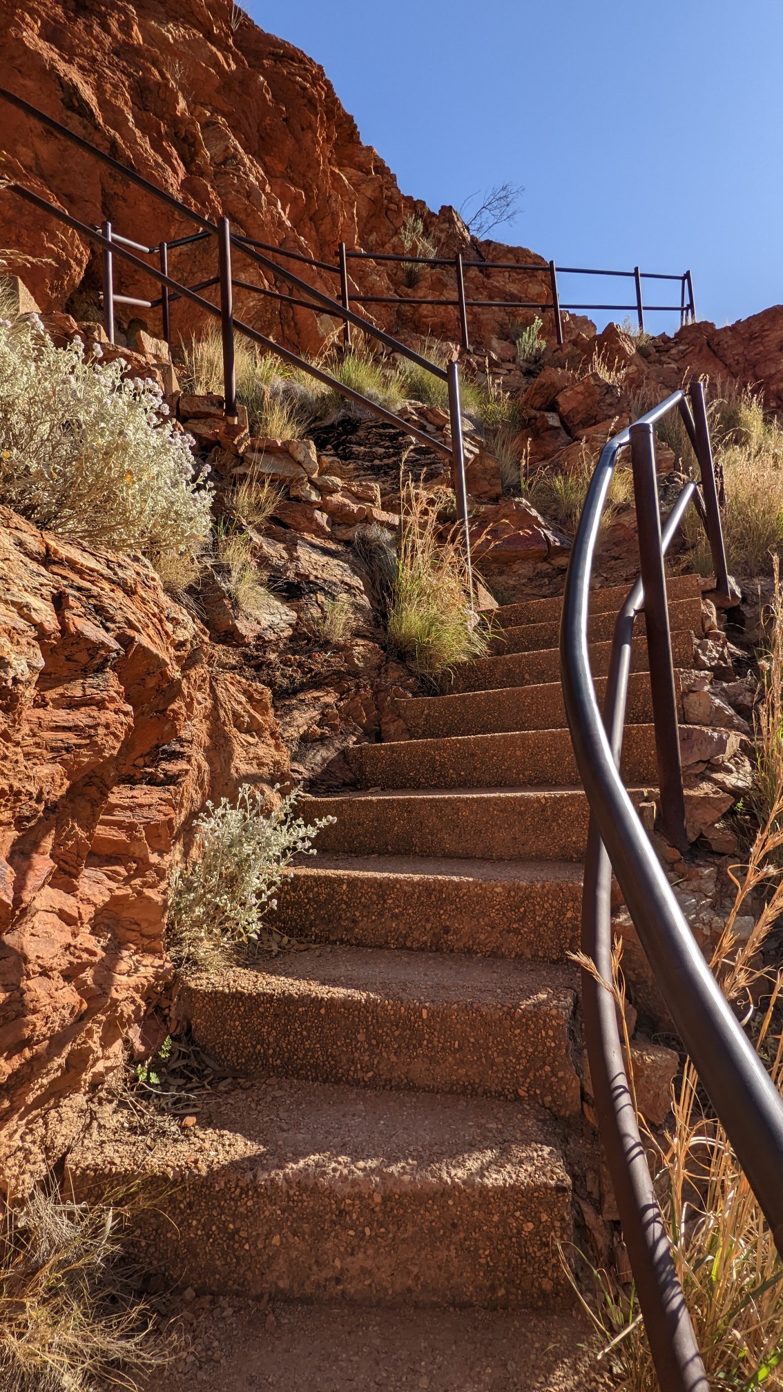
The hike started off with a few hundred stairs up to a viewpoint.
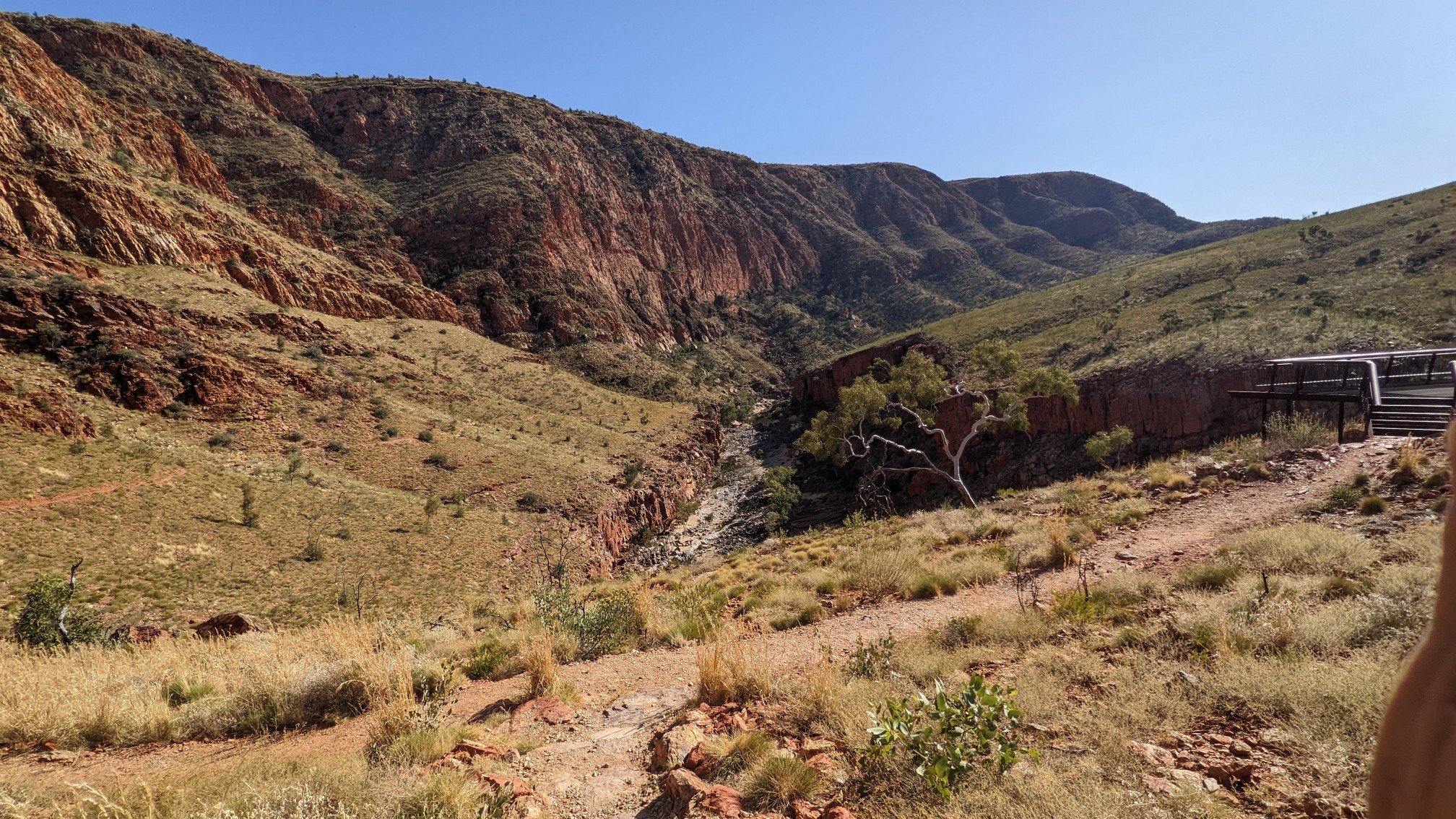
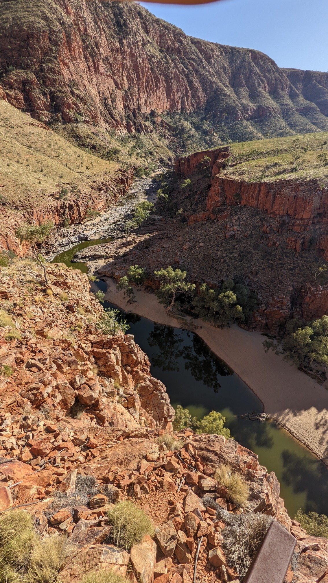
You could also see down into the gorge.
This hike is named for the ghost gum tree, which is a white tree that I think is related to eucalyptus.
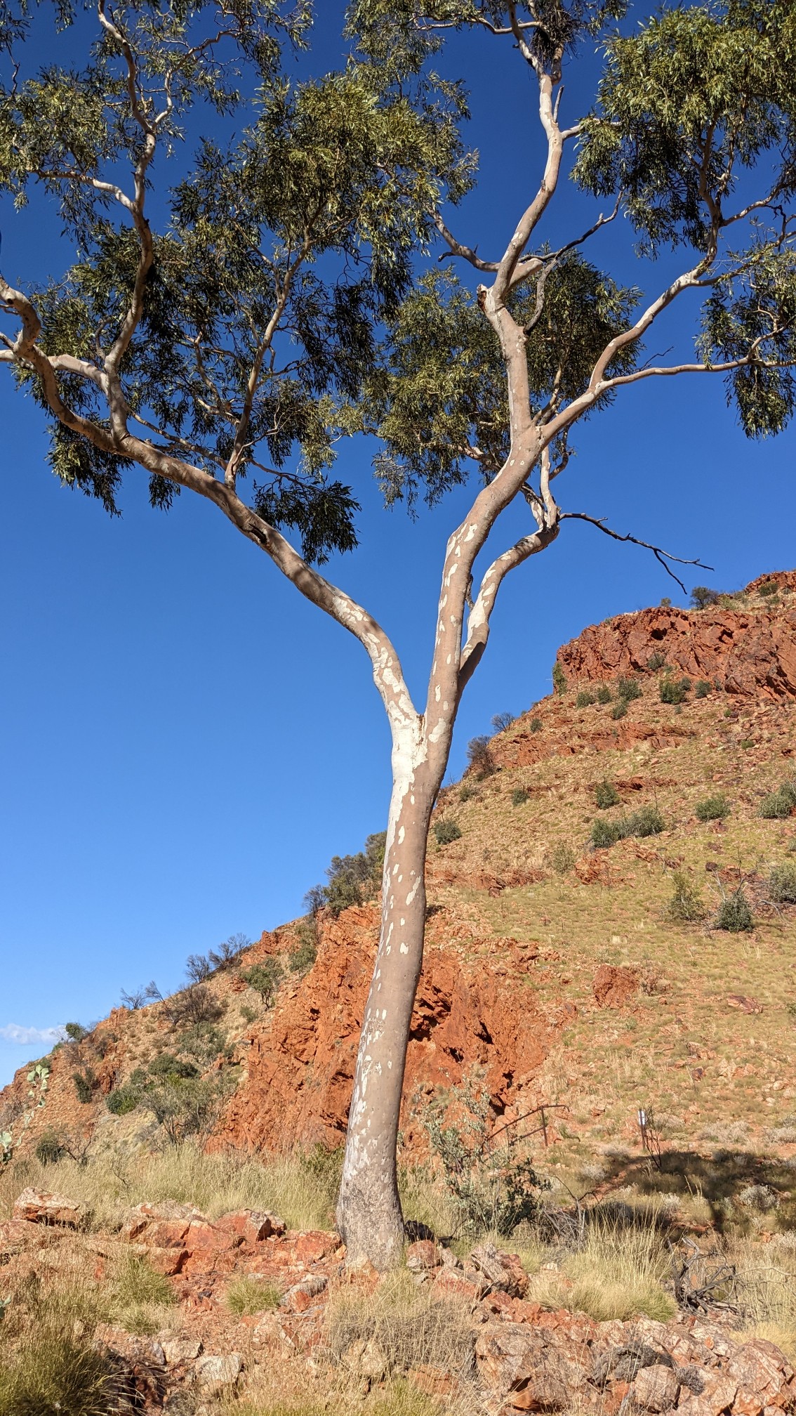
I continued around the loop, which descended into the gorge.
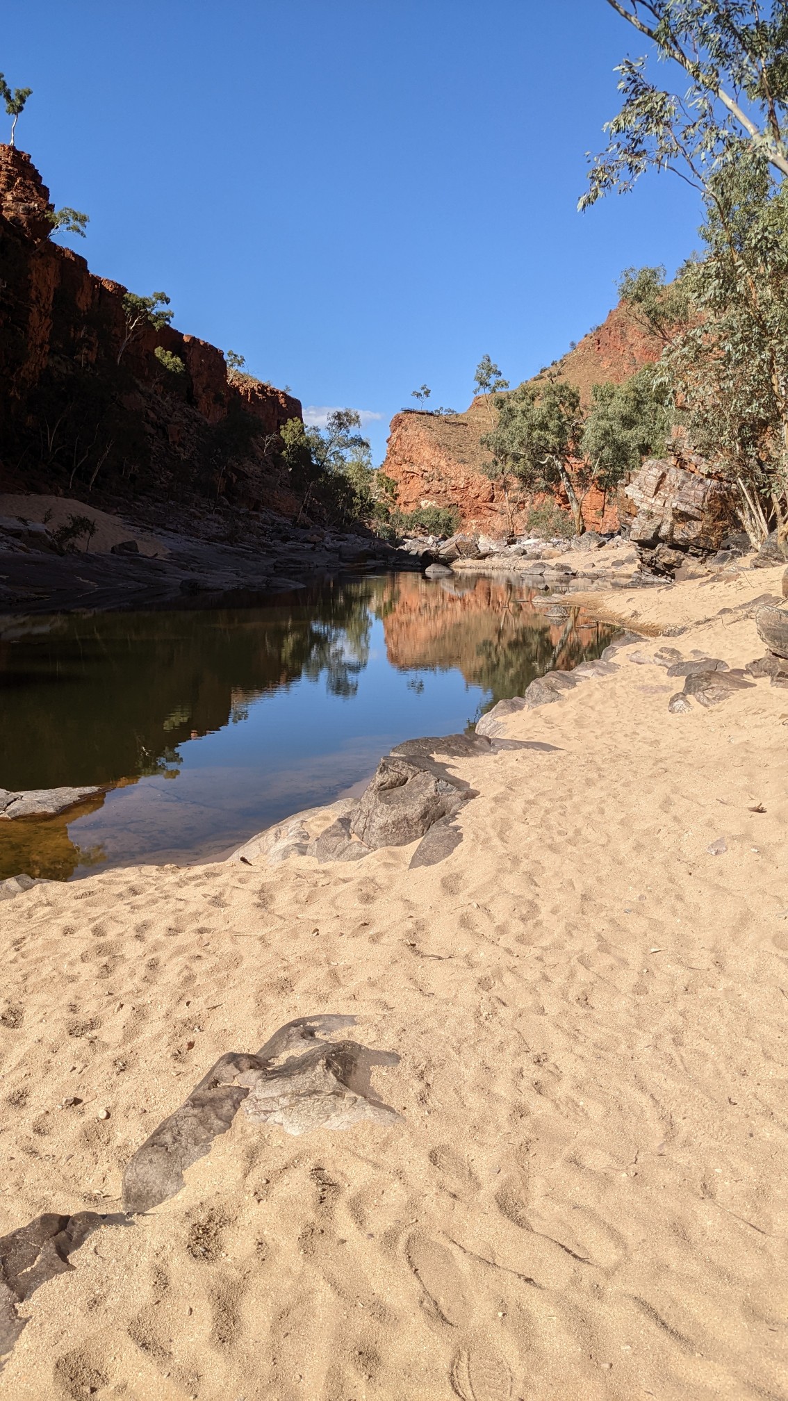
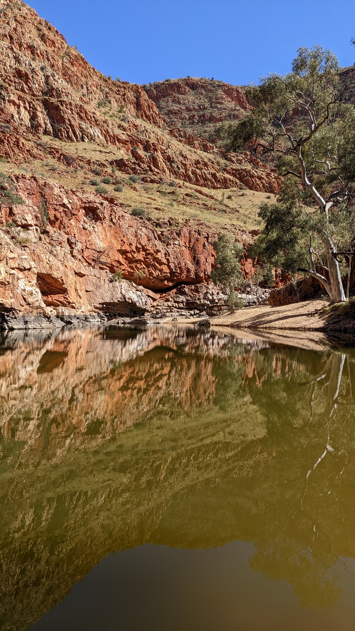
As promised, there was some swimming required, but I found a crossing spot where it never got more than chest deep. The rest of the water is 10-15m deep.
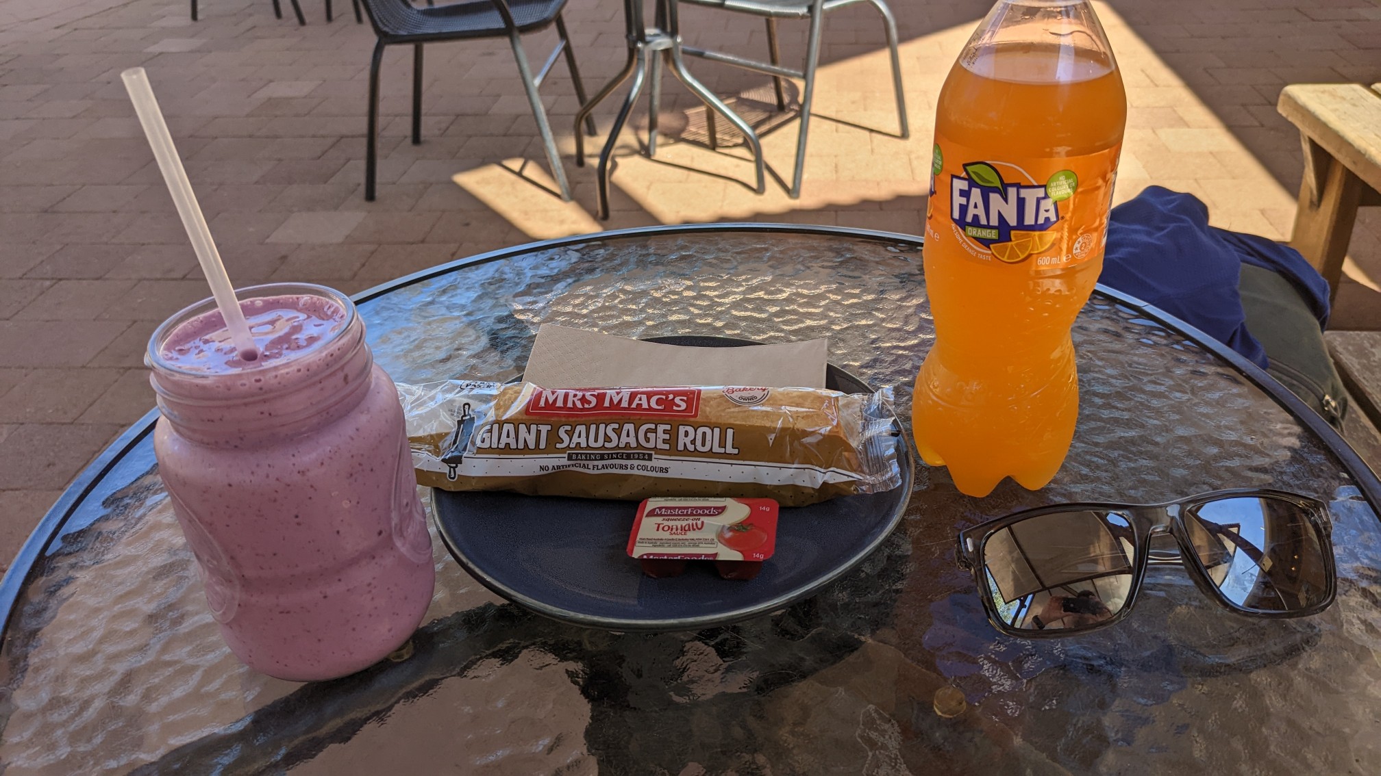
I made it back to the campground area at 9:45 and had a quick shower. By the time I was done the cafe had just opened at 10am, and I ordered a fruit smoothie, a meat pie, and soda pop.
I thought this sign on the cafe was funny. Dingos!
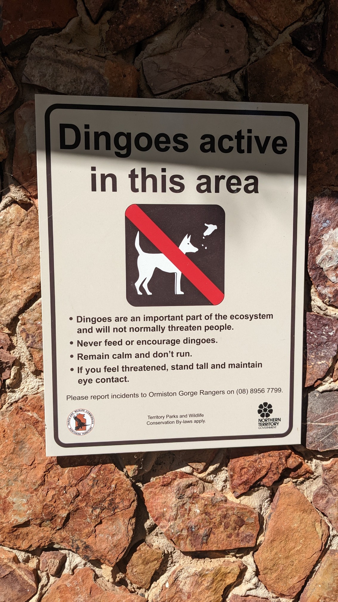
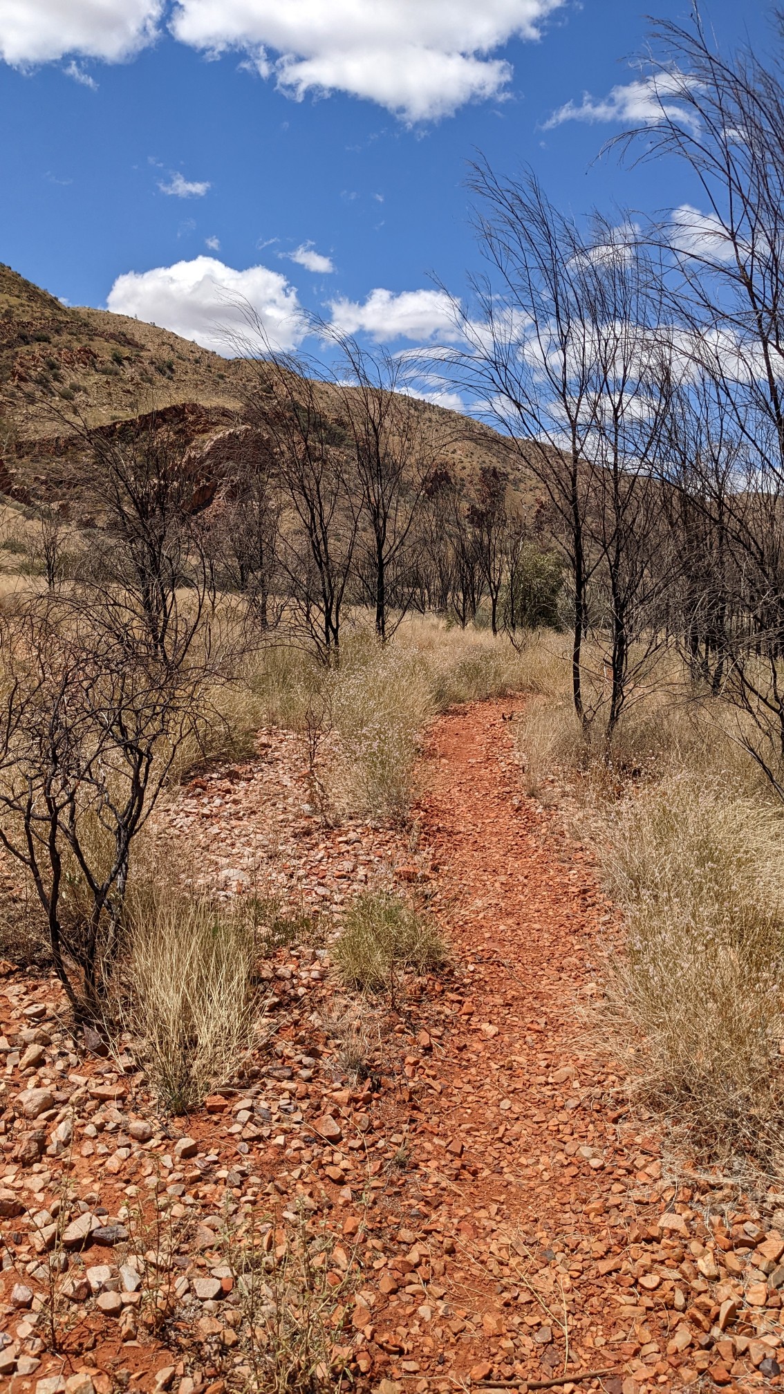
I hiked out just before 11am, and it felt very hot. The next couple of hours went through some monotonous terrain that was in full hot sun. I think the temperature today was 32C.
After a steep climb, I was on top of a ridge for the next hour. It was a slow section of trail due to all the rocks.
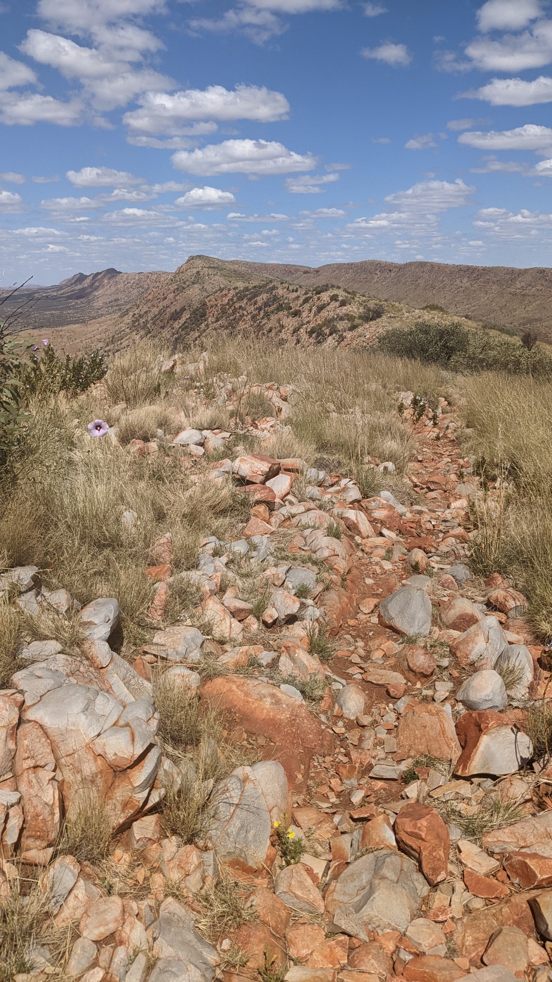
It also had excellent views of Mount Giles, which I think is like the 4th highest peak in the NT.
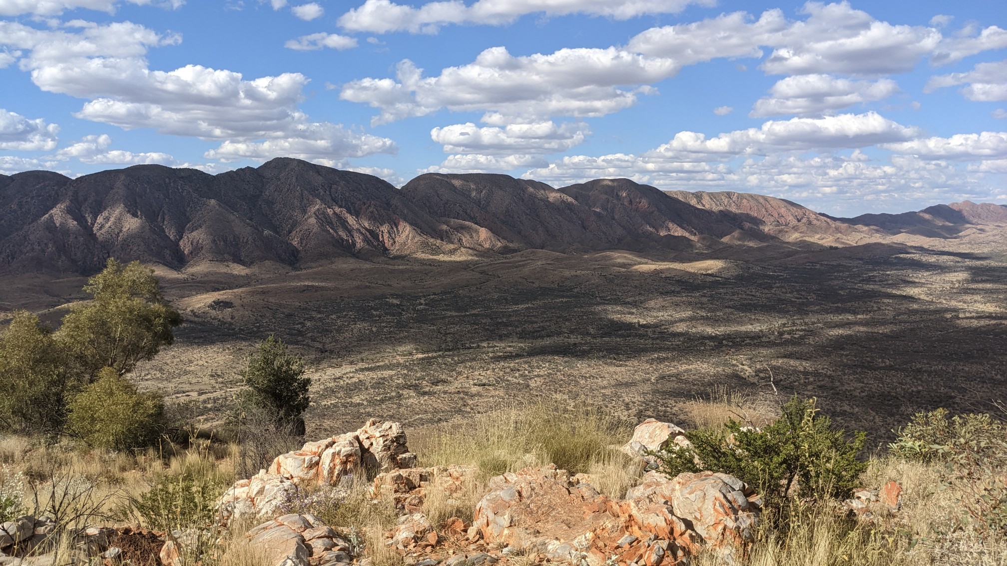
And the views in the other directions: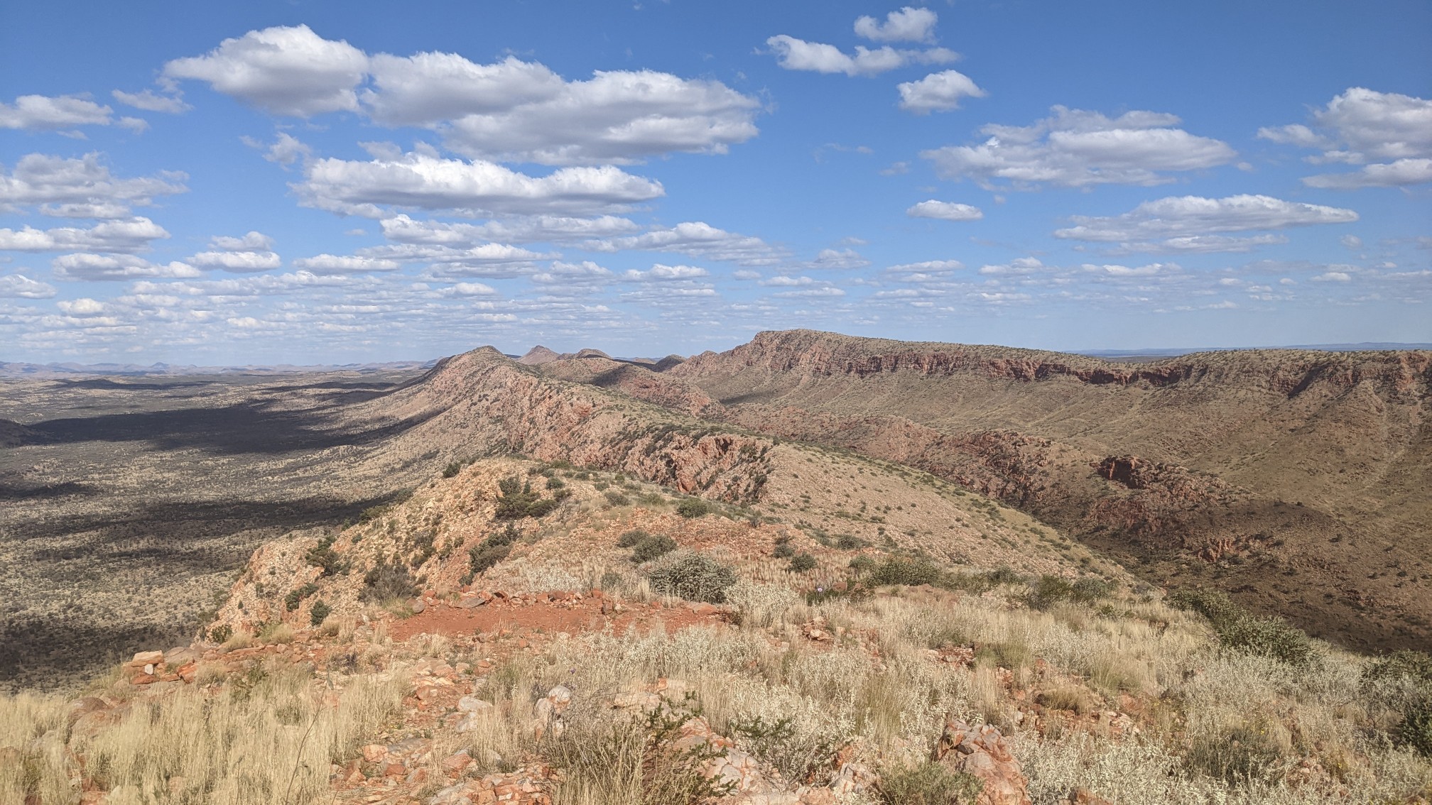
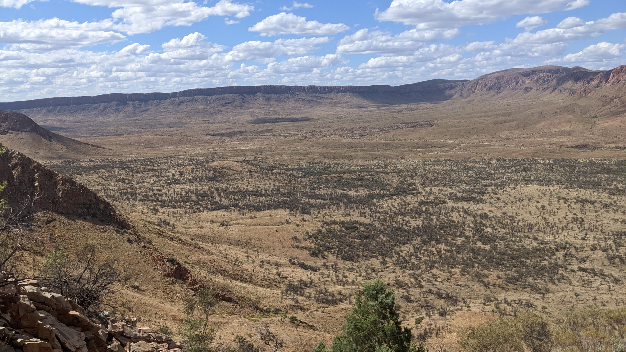
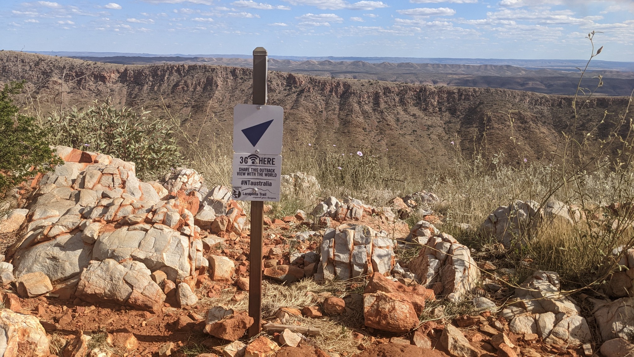
I loved seeing this sign on the highpoint of the ridge…3G cell signal! (Which I’m told is outdated, since they have retired the 3G signal spectrum). I have Telstra service here, which had a nice 4G signal!
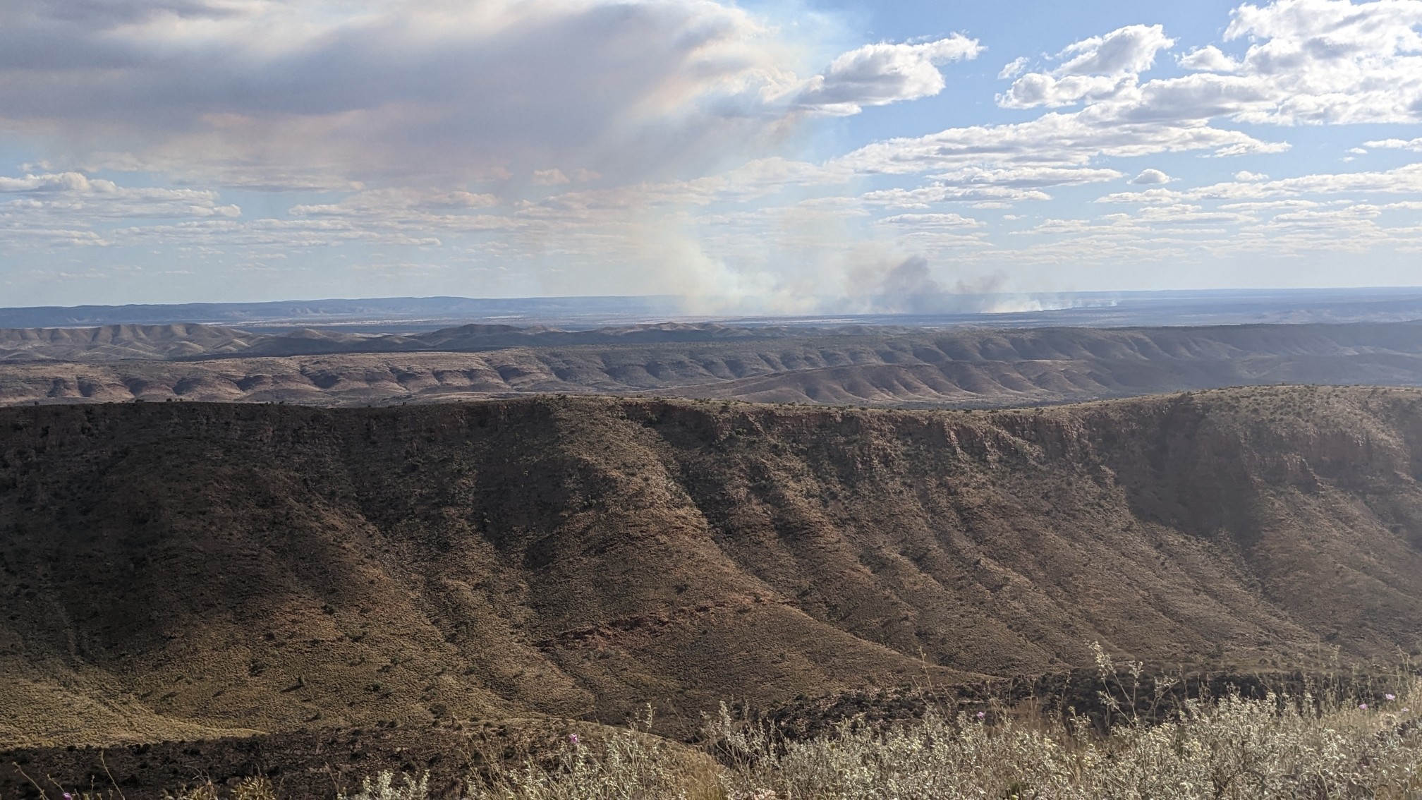
Far to the south, I could see someone doing a controlled burn.
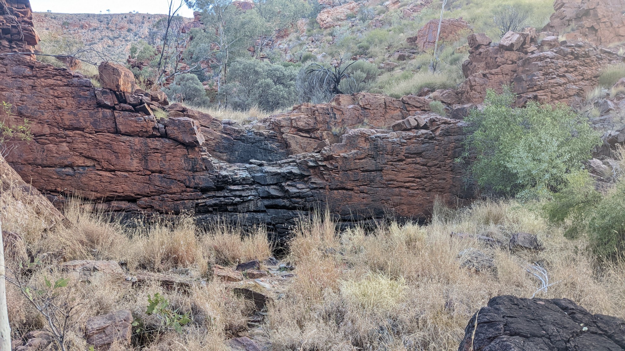
Just as I was about to leave the ridge, 2 hikers came up, Emily and Stefan. We swapped trail beta for a while, poked fun at some of the silly things Americans do, and took summit photos of each other. I said goodbye, and descended 200m down, off the ridge and into the valley. I passed by a spot called Waterfall Gorge, which is confusing since it is almost always dry.
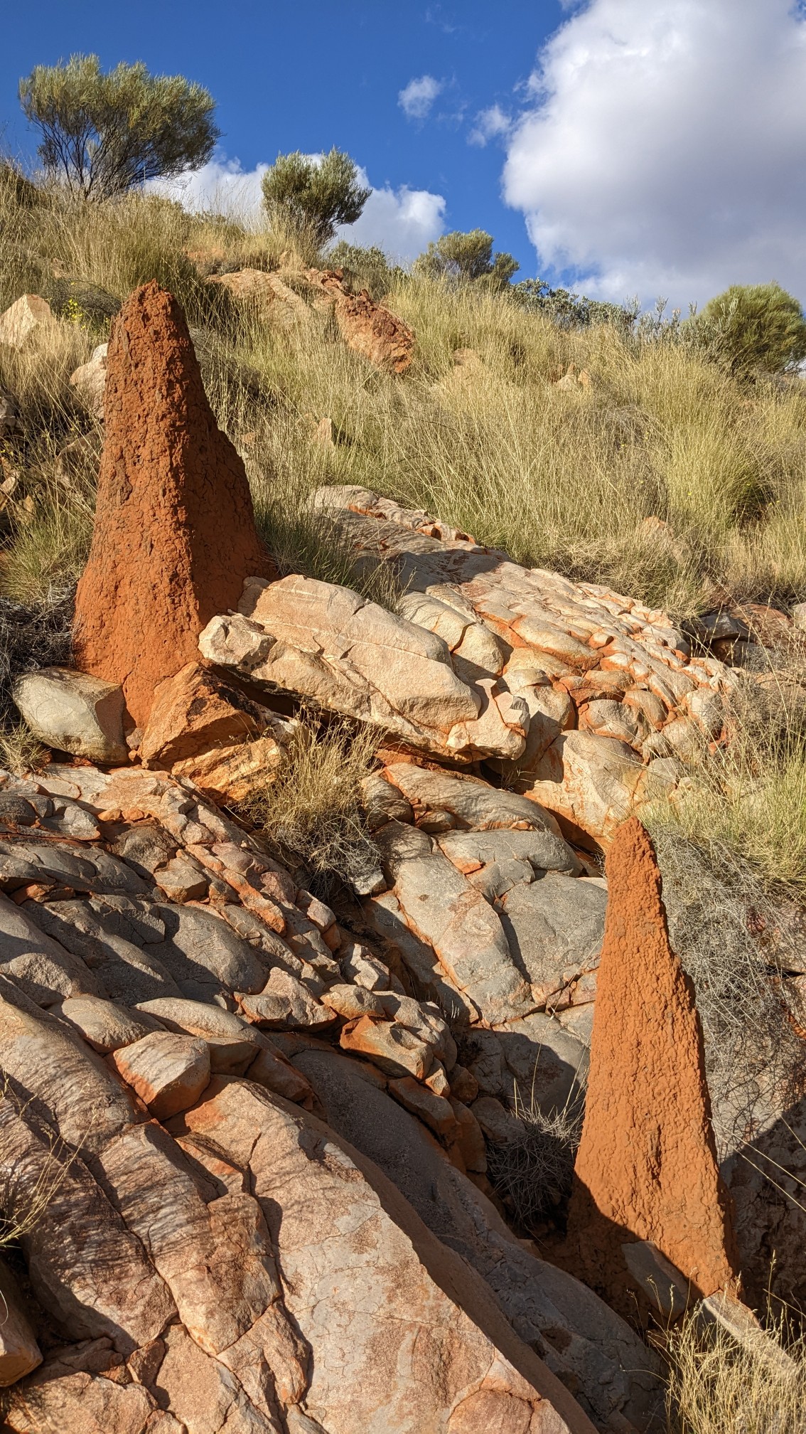
I’ve been seeing these tall dirt towers for a few days now, and I finally found out what they were. They are built by termites, who eat the tall spinifex grasses. Neat!
The last 6km of the day was uneventful, and was fairly nice hiking after the sun went behind the hillside.
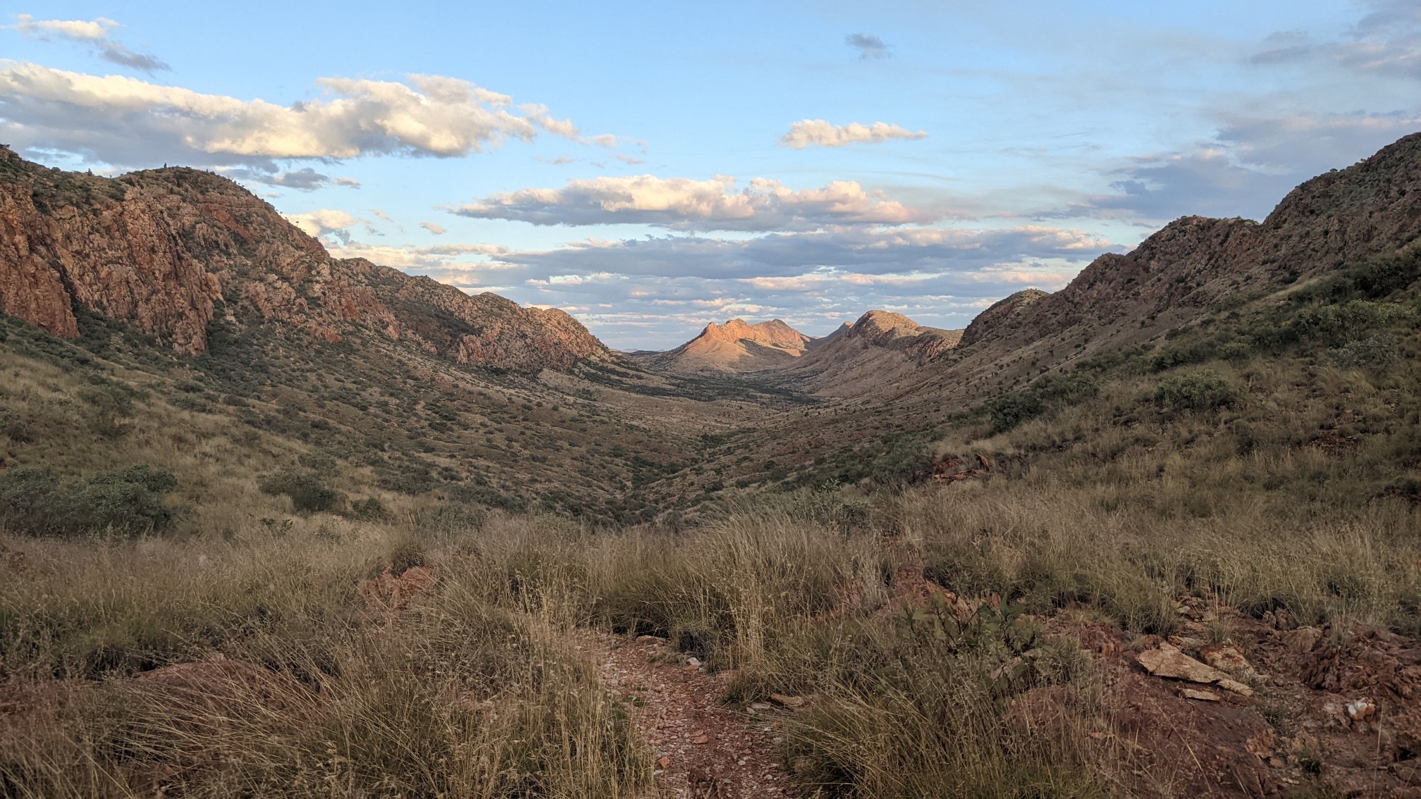
After 5:30pm the temperatures are perfect for hiking, and I cruised along until I got to a campsite on the side of the trail at 7pm. I’m a little low on water, but it’s only 7km to the next water. I plan on starting at 6am tomorrow when it’s still nice & cool, so I can conserve water.