Monday October 17, 32.2km/20.0mi
Beraking Campsite (45.7/285m) to Canning Campsite (77.9/288m) (WA)
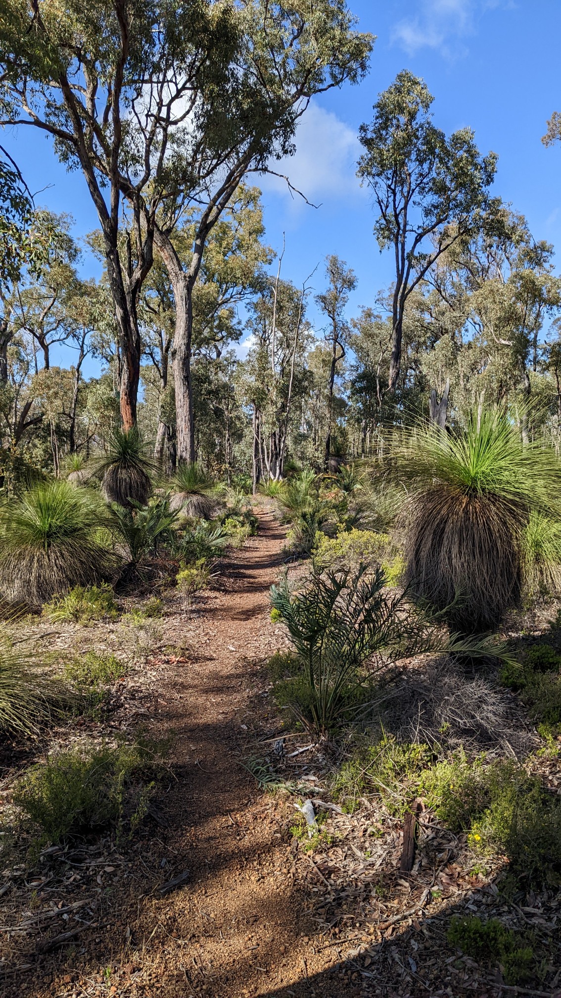
I left camp a bit earlier today at 7:45am. Still not early, but I got to enjoy the morning hiking before it got too warm. The grass trees (right side of photo) were everywhere.
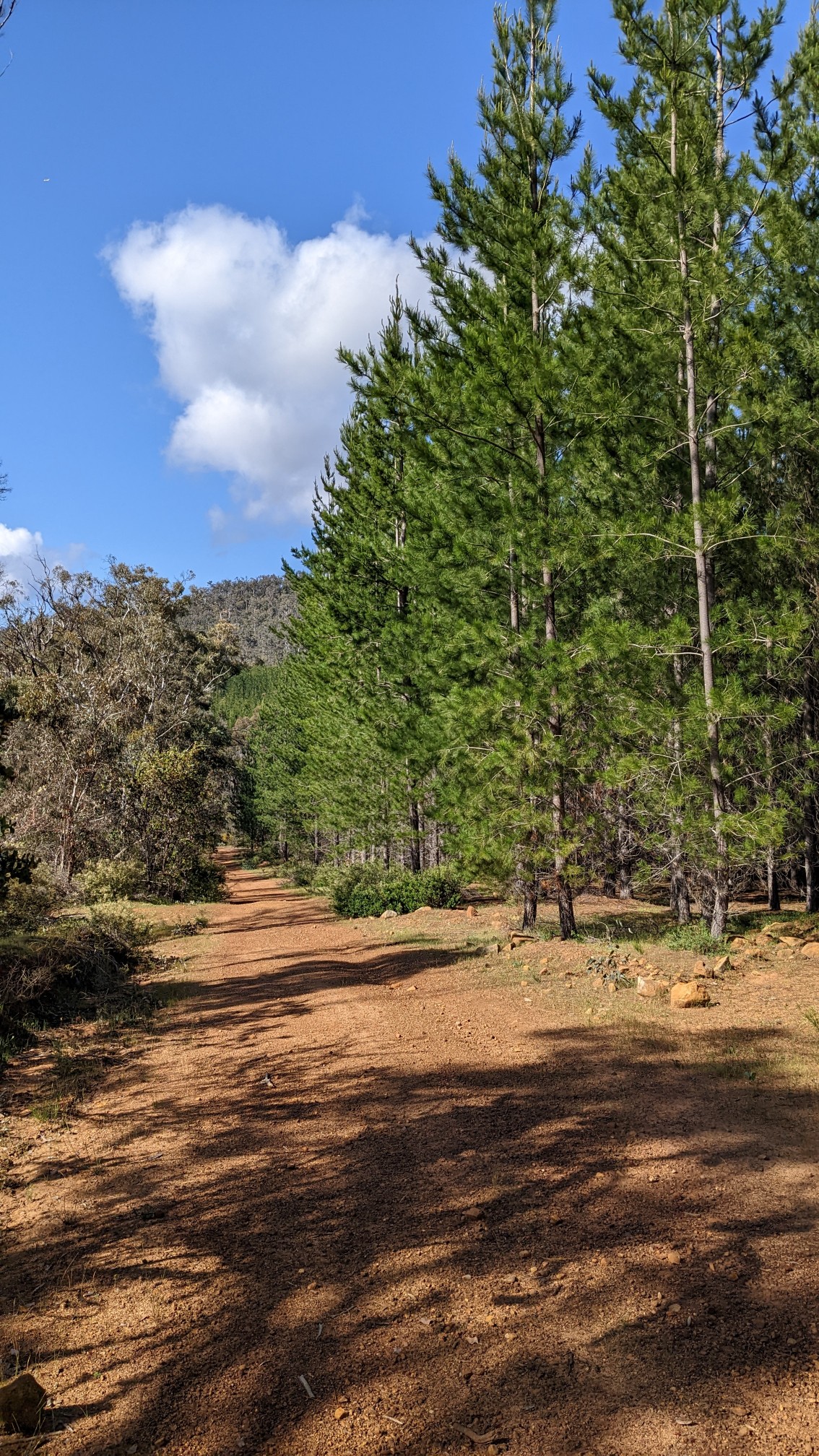
An hour into the morning, I came across a pine plantation, growing on the right side of the trail.
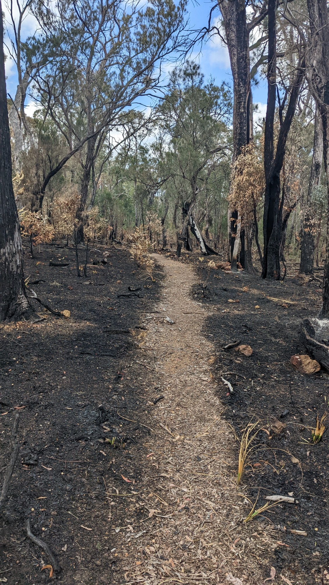
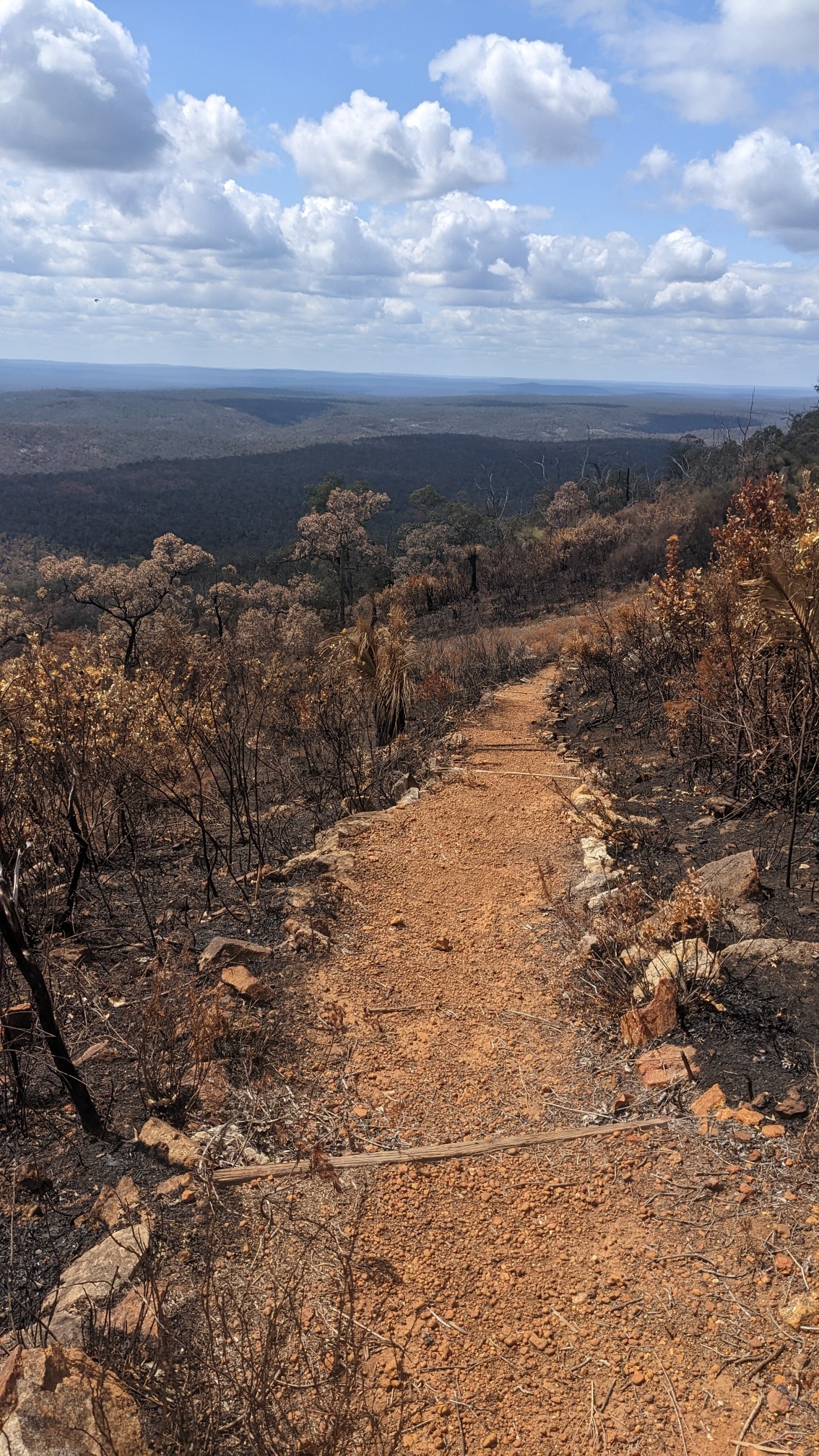
For much of the next couple of hours, I walked thru a burn area. Even the ground was eerily black.
As I approached the summit of Mt. Dale (546m), the forest opened up and I started to have some distant views.
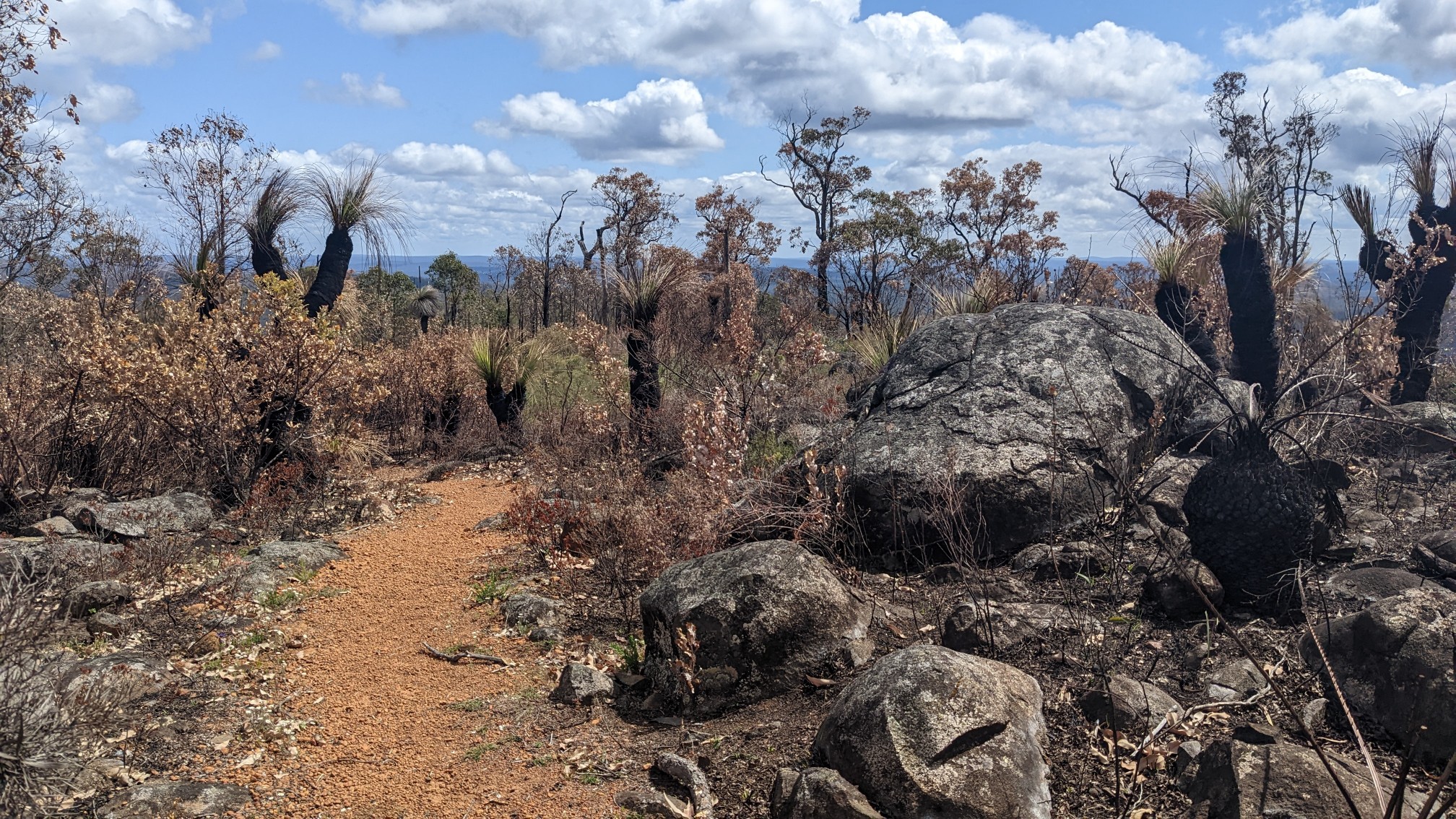
A little higher, and I had views to the south and east.
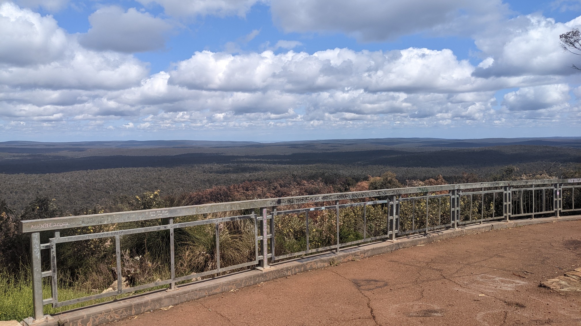
The actual summit was full of towers and radio equipment, but just below it was a nice picnic area with a lookout. View to the west from the summit of Mt Dale:
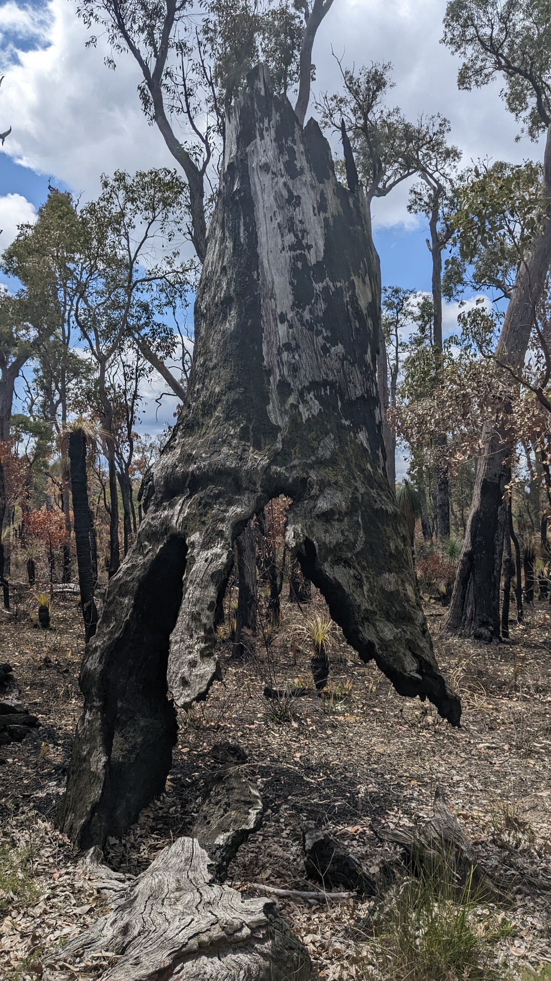
I descended from the mountain, and as soon as I was out of the slight wind, flies were everywhere! Yuck. I hiked back into another burn area, and the flies didn’t improve, but at least I had other things to think about. Like how this burned tree was still standing, despite being attached to the ground at only one point.
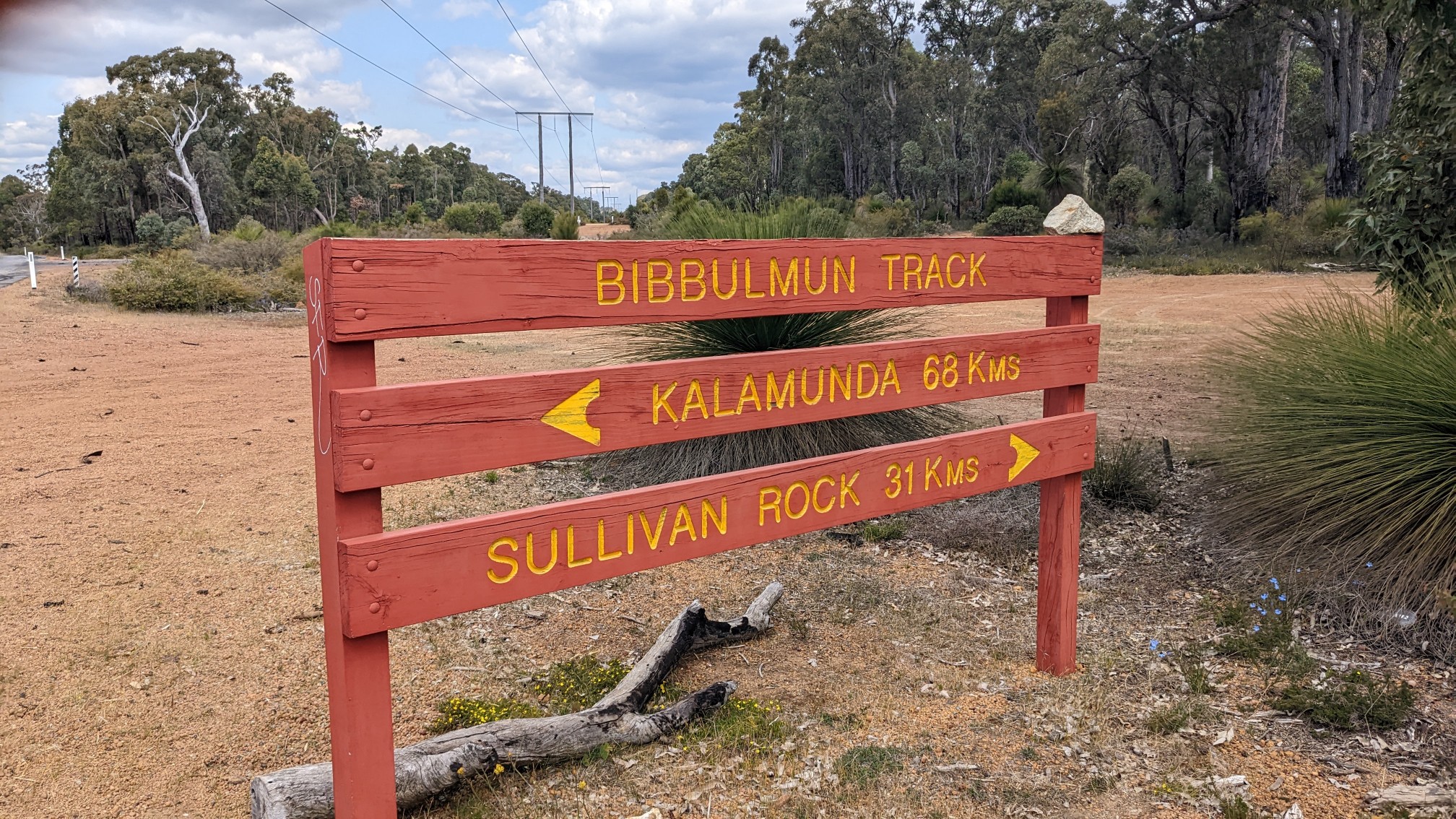
At 1:30pm, I had come to the first major road crossing of the trail.
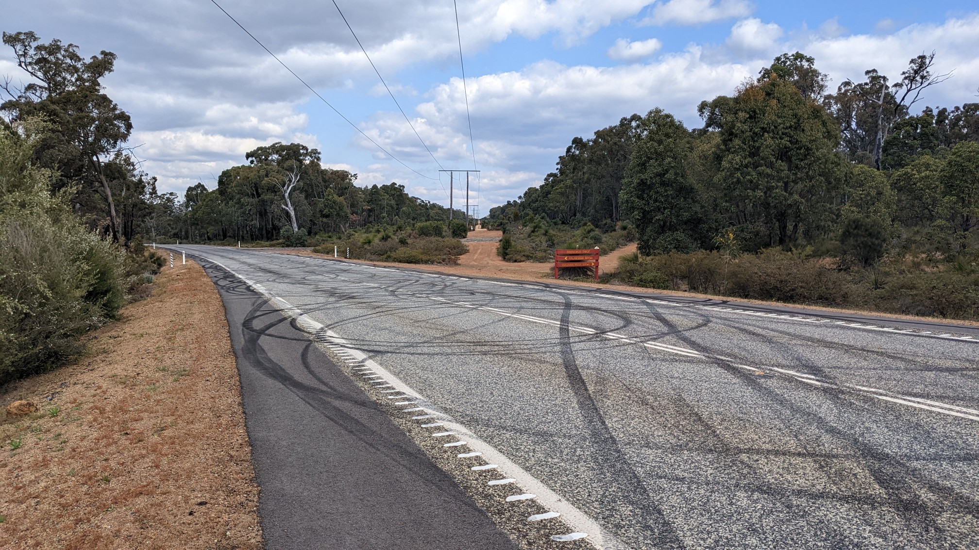
The trail sign gave some distances, I’ve already hiked 68km since leaving Kalamunda!
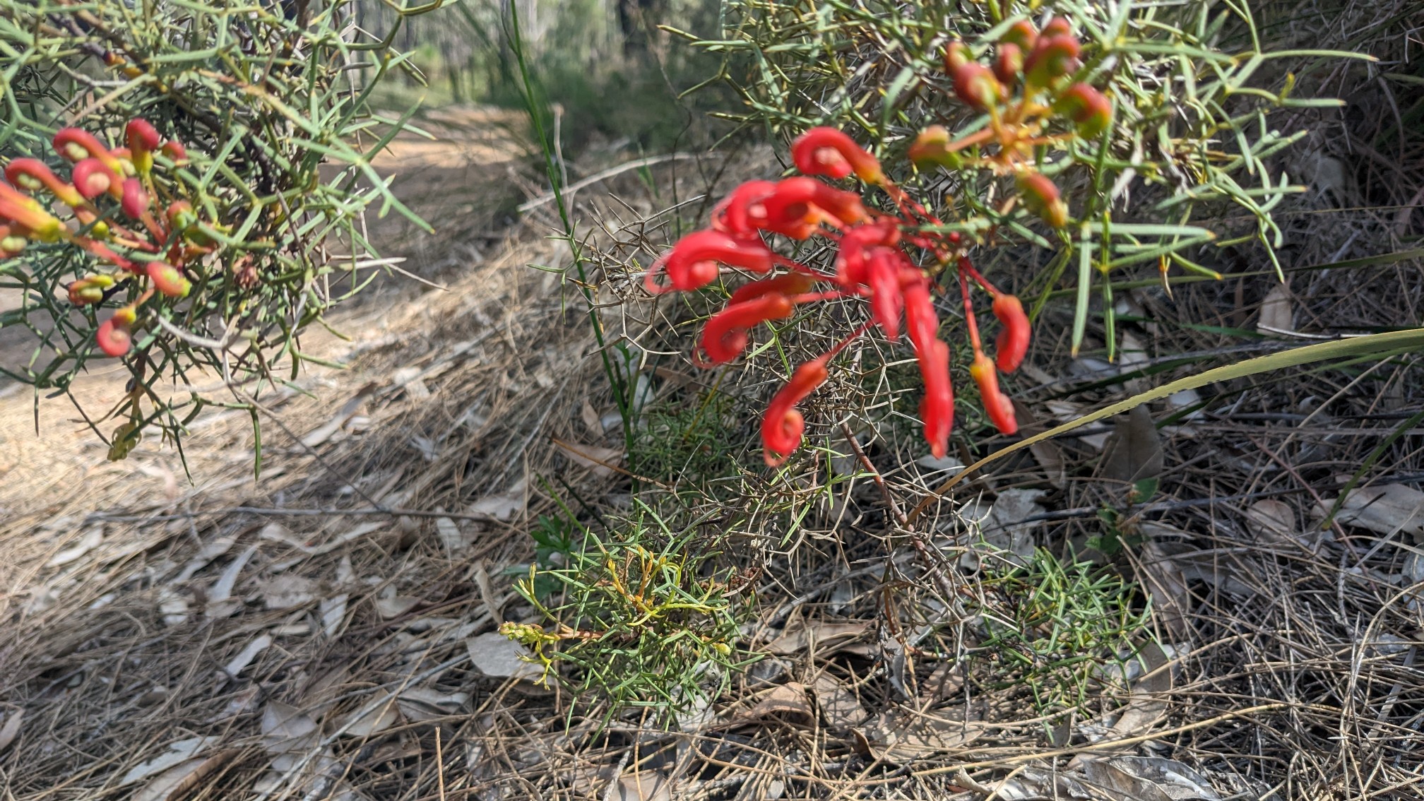
I stopped in the shade of a large sheoak tree and had my lunch. The flies had finally gone away, and I could enjoy my cheese & salami wrap in peace. The last 8km of the day was pretty uneventful but had tons of wildflowers to look at. I checked my guidebook, these are Red kangaroo paw:
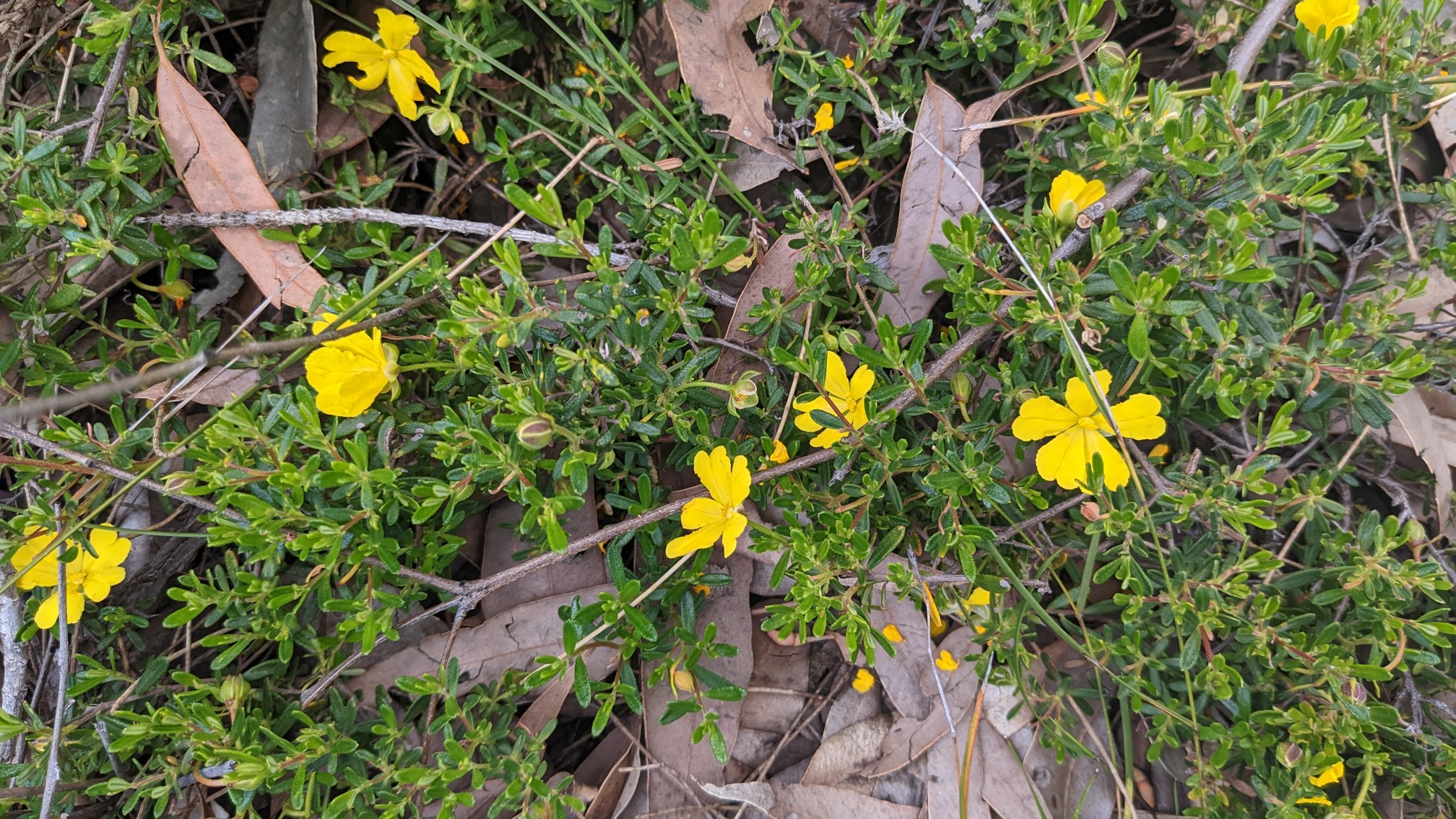
And Yellow Buttercup:
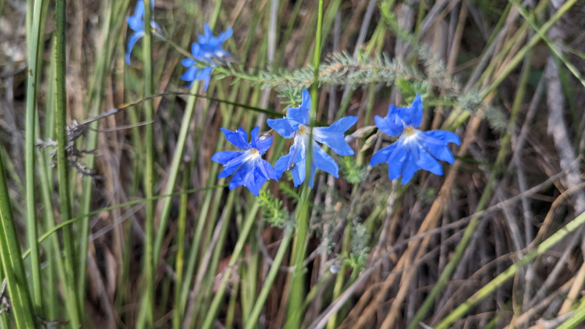
And Blue Leschenaultia:
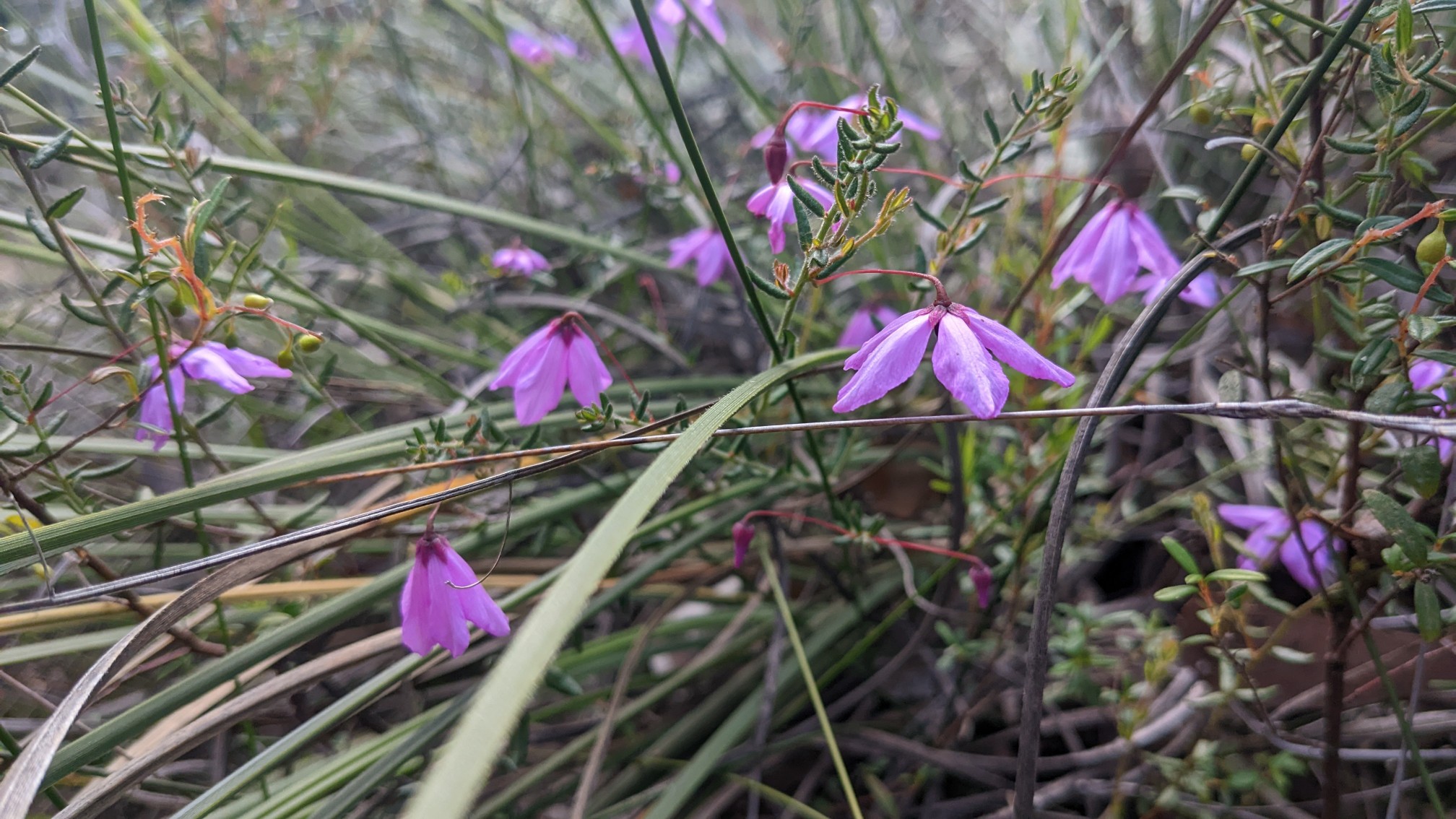
And Purple Flag(?) :
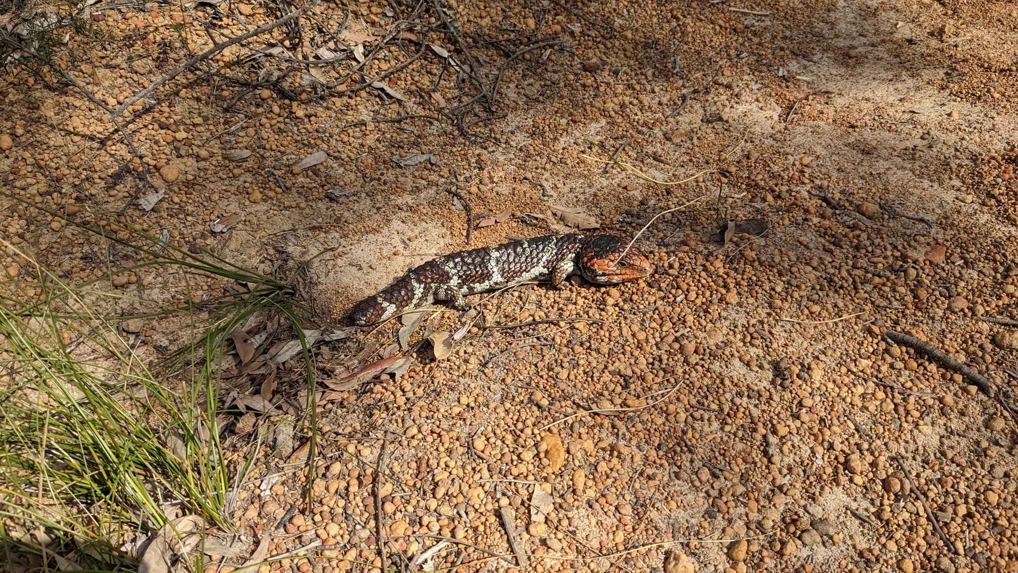
As I came over the crest of a small hill, another one of those bobtail lizards was sunning itself on the trail. I’m told these things aren’t dangerous, but it always gives me pause when an animal doesn’t move out of my way.
An hour later I came to Abyssinia Rock, a fascinating area full of granite slabs.
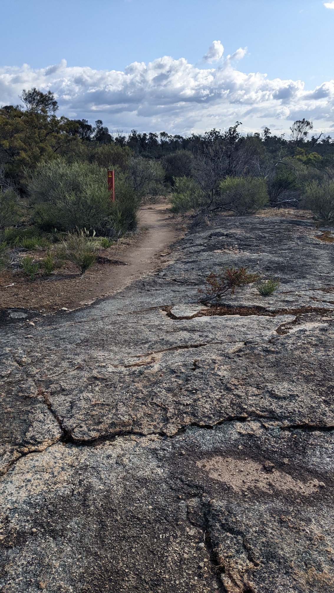
Looking uphill from the trail, there was even more slab, and nothing could grow on it for some reason.
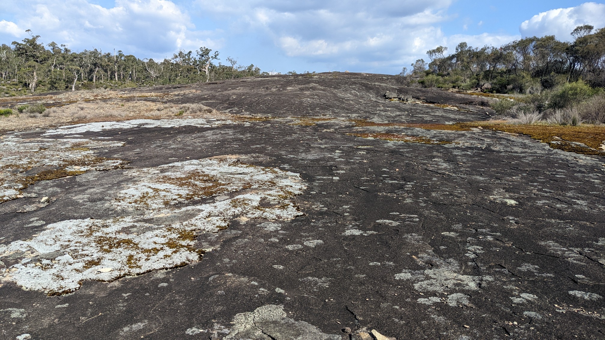
I pondered the geology of it for awhile as I walked, and suddenly I was in a swampy area, which was a first for this trail.
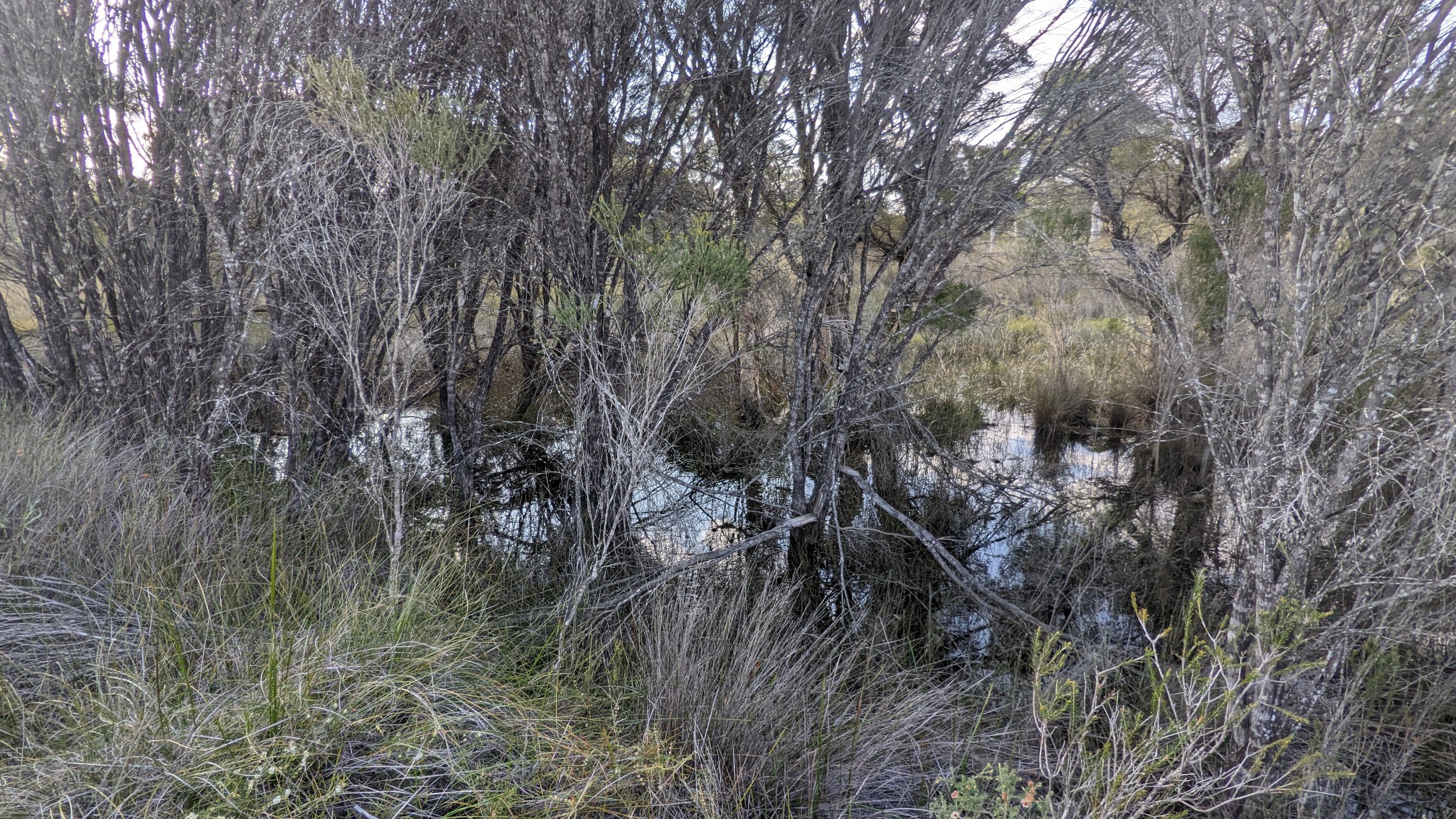
The water was very still and kinda black, it reminded me of the swamp scene in Lord of the Rings. It didn’t last long, and soon I was back on a nice smooth old road for the last bit of hiking into camp.
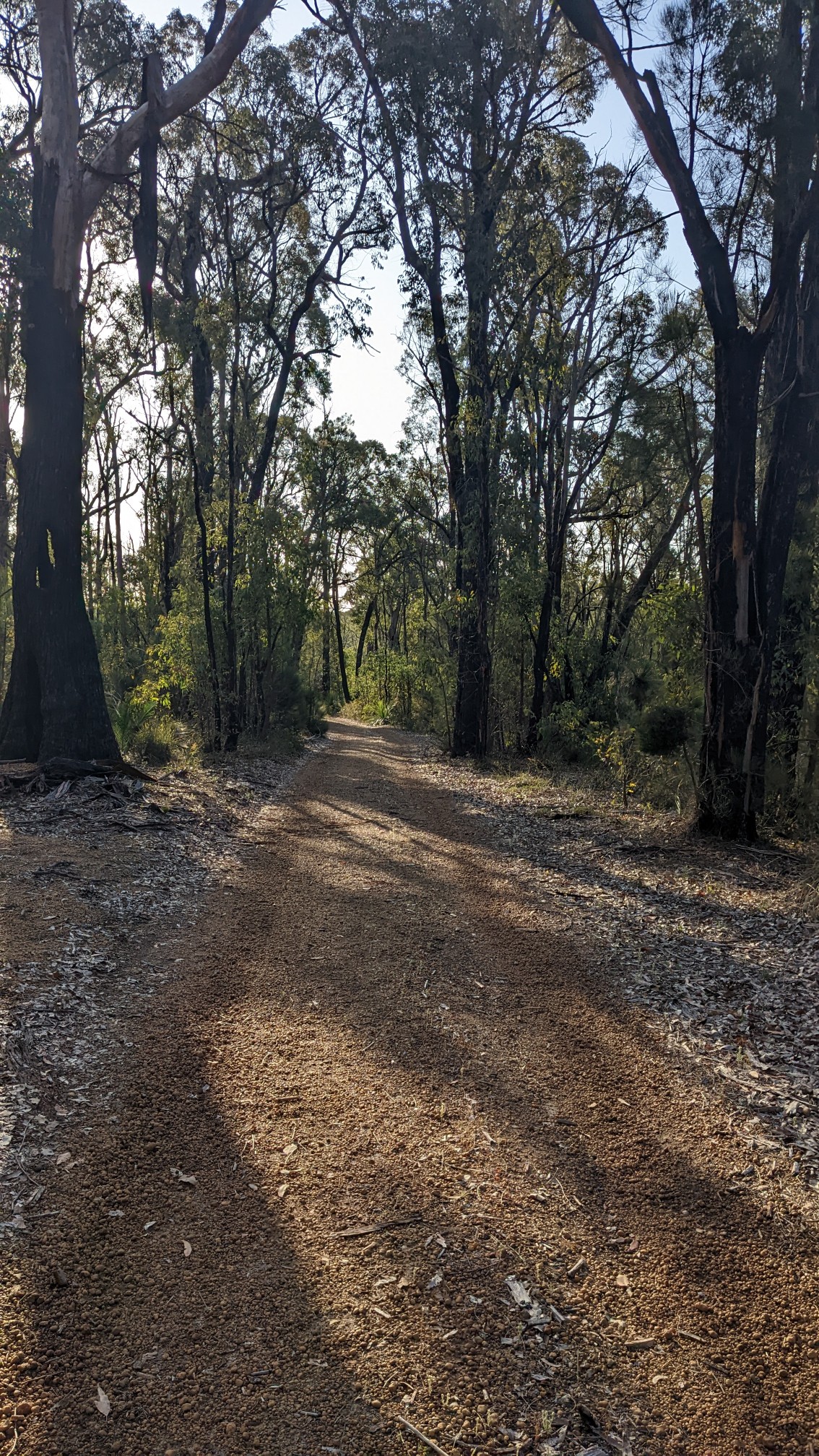
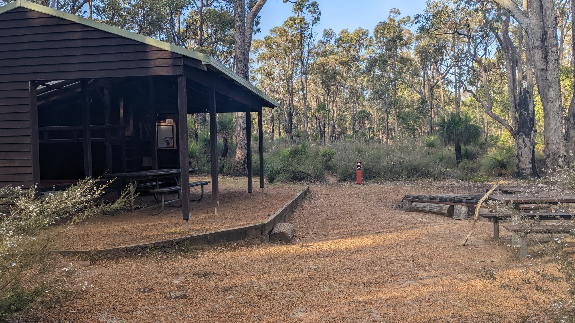
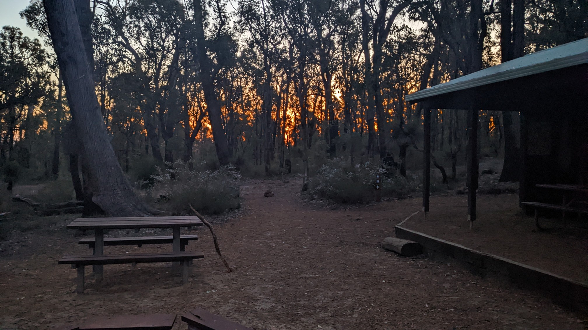
Canning campsite looked like the rest of them, with a shelter, picnic tables, water tank, and toilet.
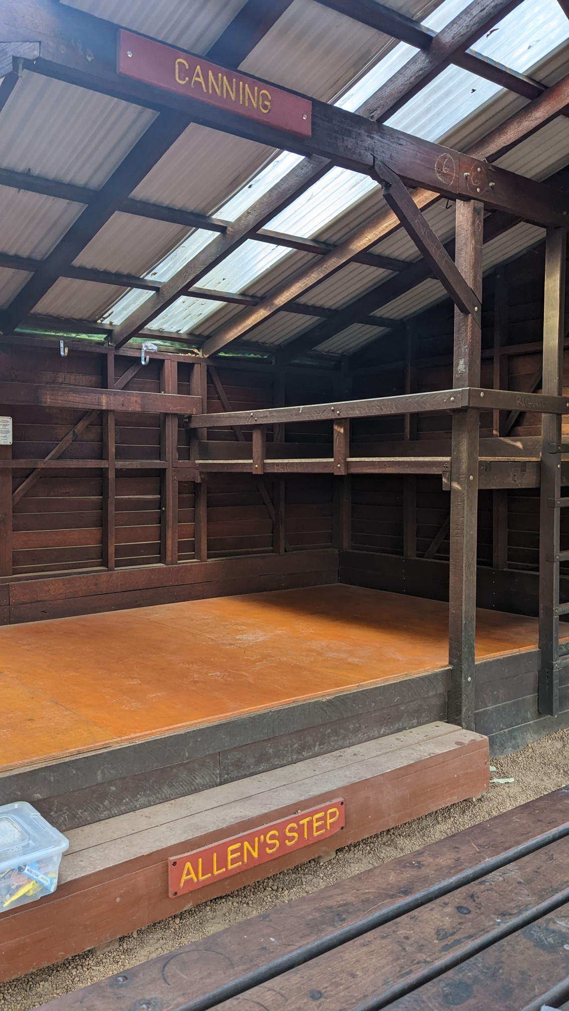
Someone must’ve donated some extra money and gotten a step named after themselves, ha! Allen’s step.
My dinner was a zesty mac n cheese, combined with a chilli salmon. Yum.
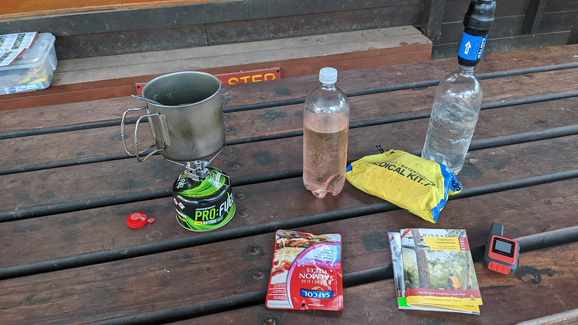
As I waited for the food to rehydrate, I read the guidebook for details on the upcoming trail tomorrow. I finished dinner and was going up to my bunk at 7pm, but not before getting a supremely orange sunset photo.
The guidebook promises more summits tomorrow! I didn’t see any people today, hopefully tomorrow I’ll meet some hikers. This is the prime season for this trail, and it’s supposed to be popular…