Tuesday December 6, 24.7km/15.4mi
Frenchmans Cap Carpark (0.0/390m) to Lake Tahune Hut (24.7/970m) (TAS)
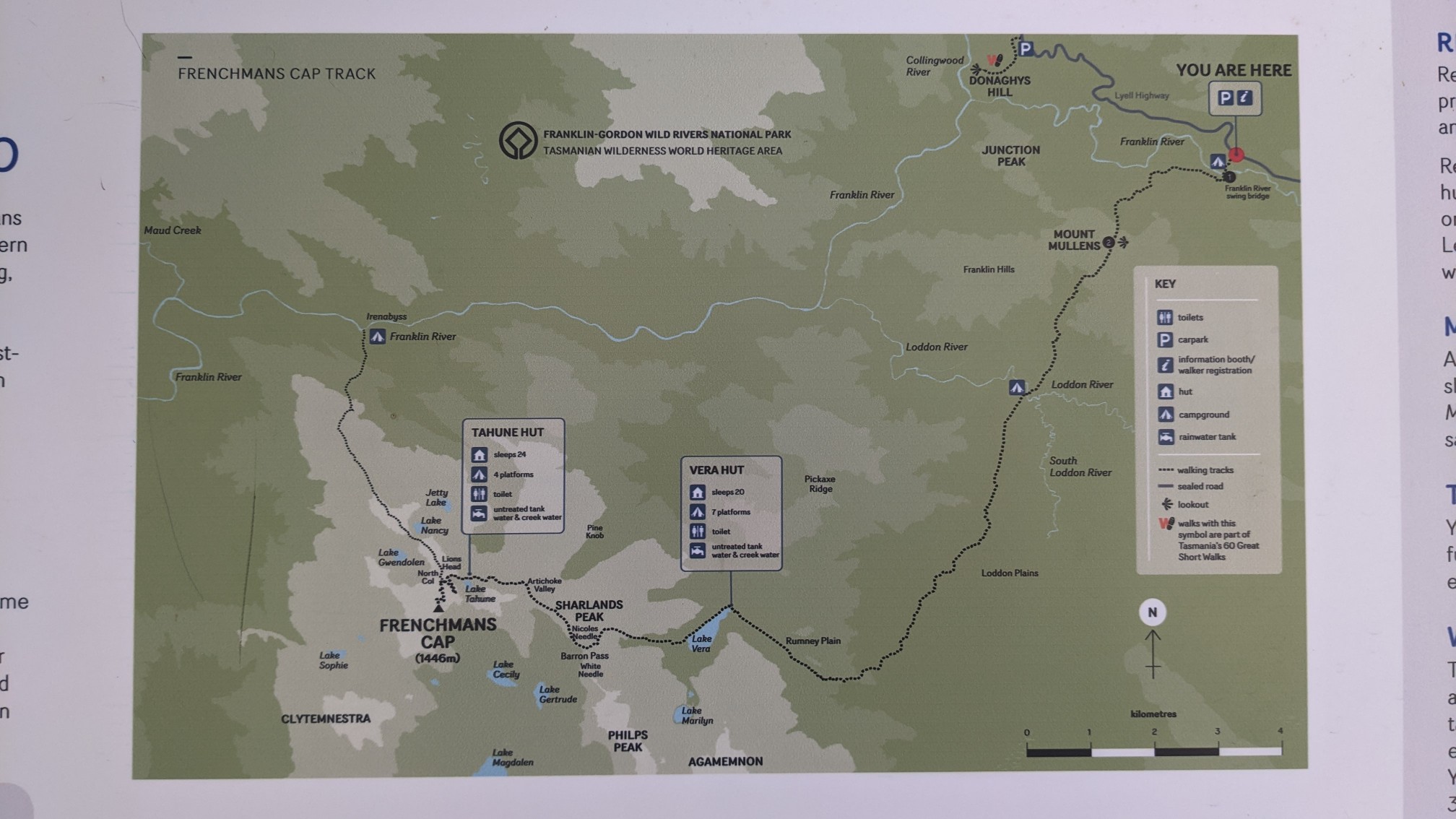
I drove the 45 minutes to the trailhead, and started walking around 9am. The trailhead had a nice map, which showed the 22km hike to Frenchmans Cap, a summit with 1430m elevation. The hike is an out&back, so the Tahune Hut serves as a nice overnight spot to split up the 44km of hiking.
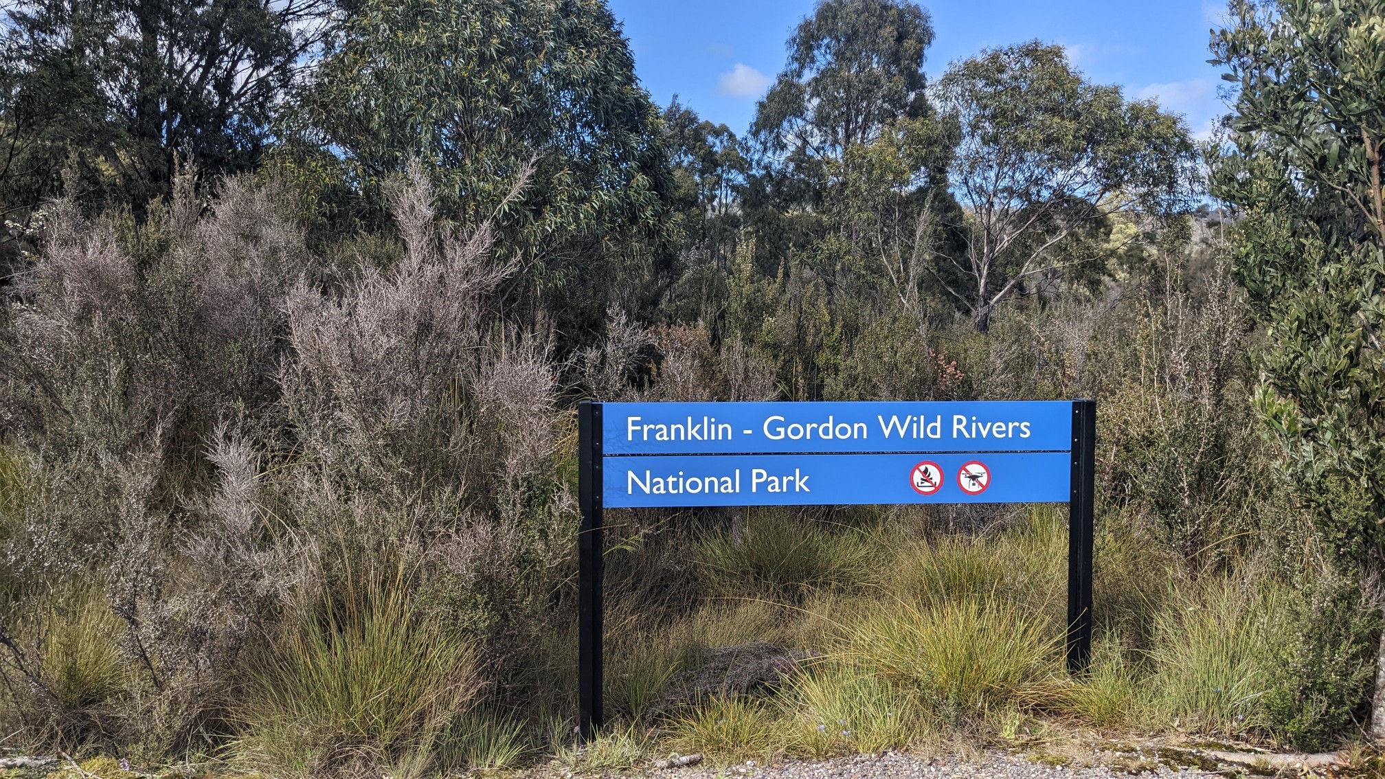
The weather today was surprisingly beautiful, I didn’t expect such blue skies and warm temperatures from the forecast.
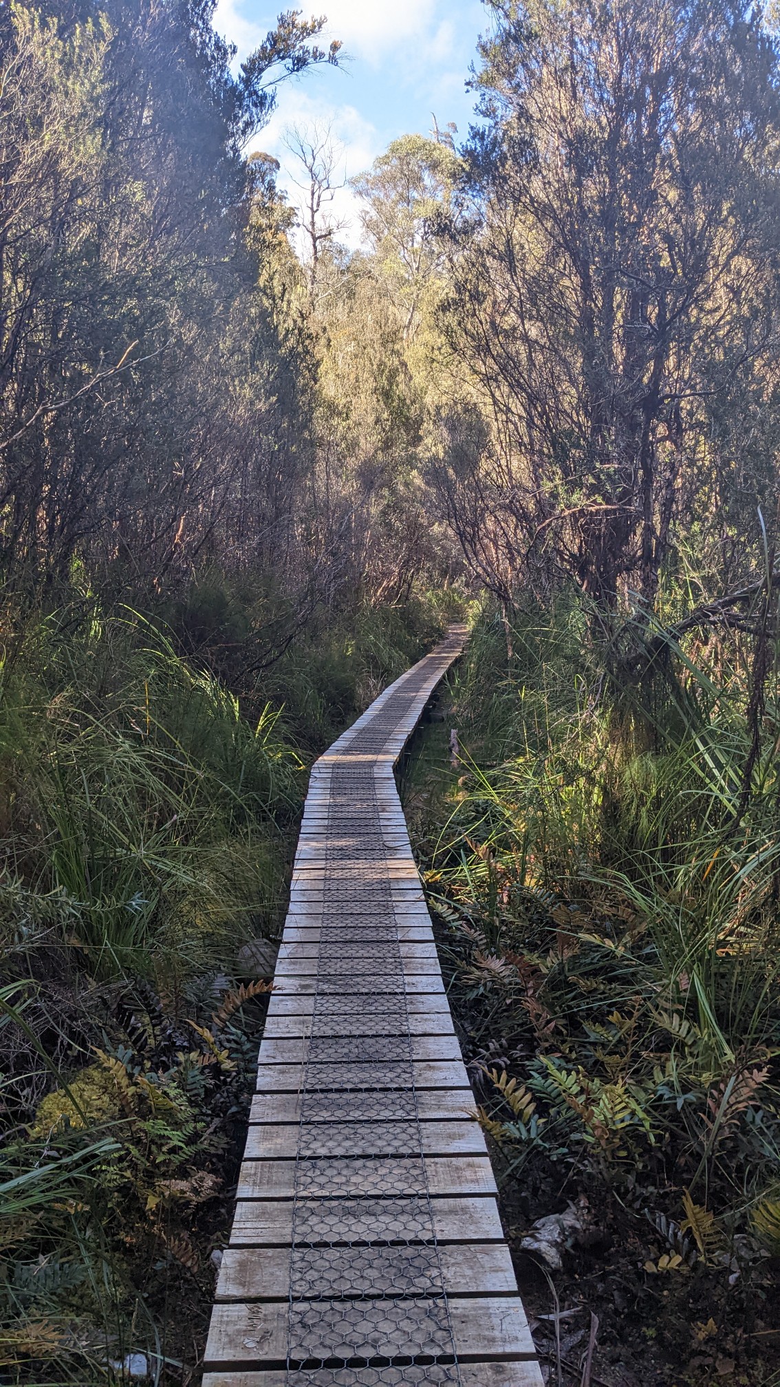
The first 15km of this trail was very well built, thanks in part to a wealthy donor who wanted to protect it back in 2008.
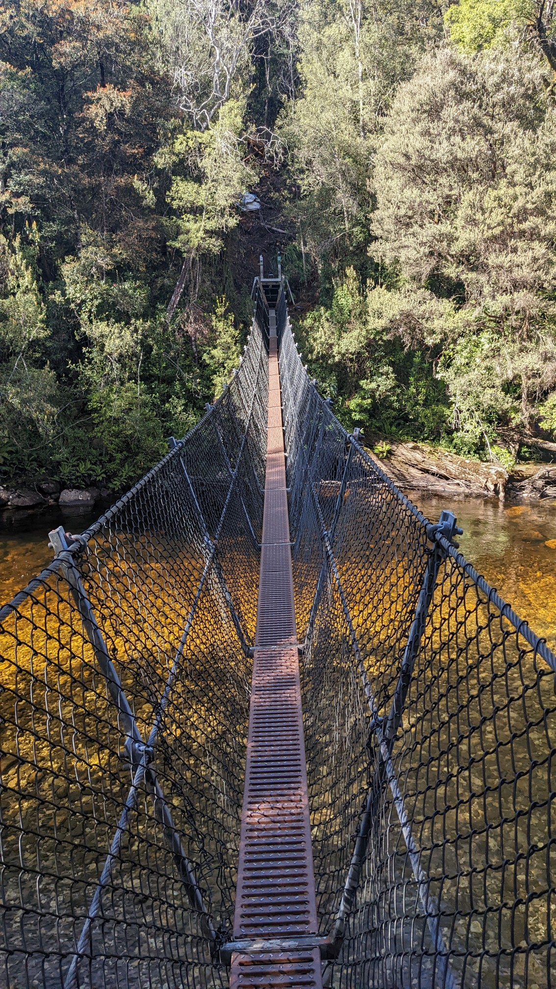
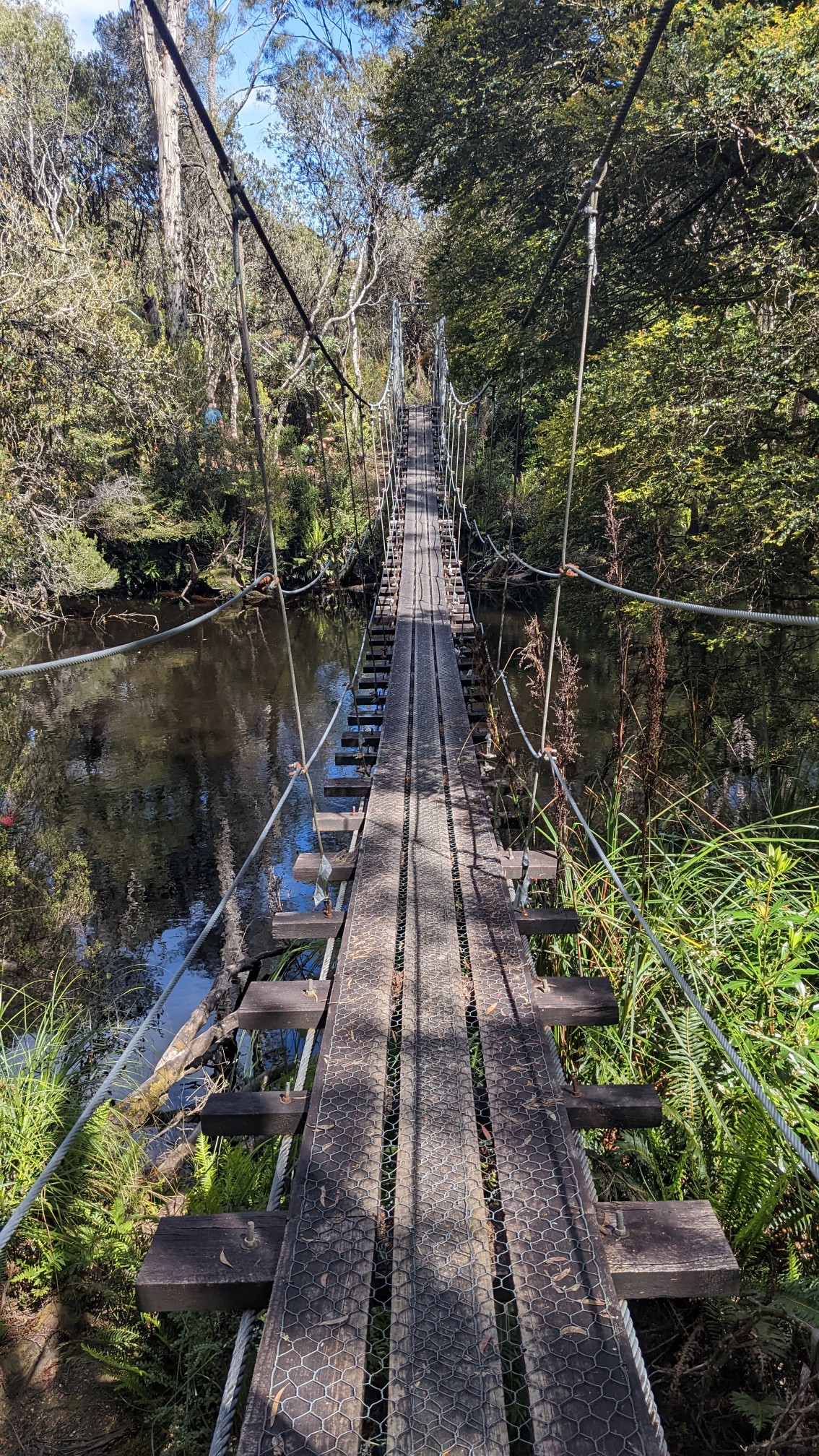
I always love a good swingbridge. Plus the Franklin River was so wide, I can’t imagine another way across it.
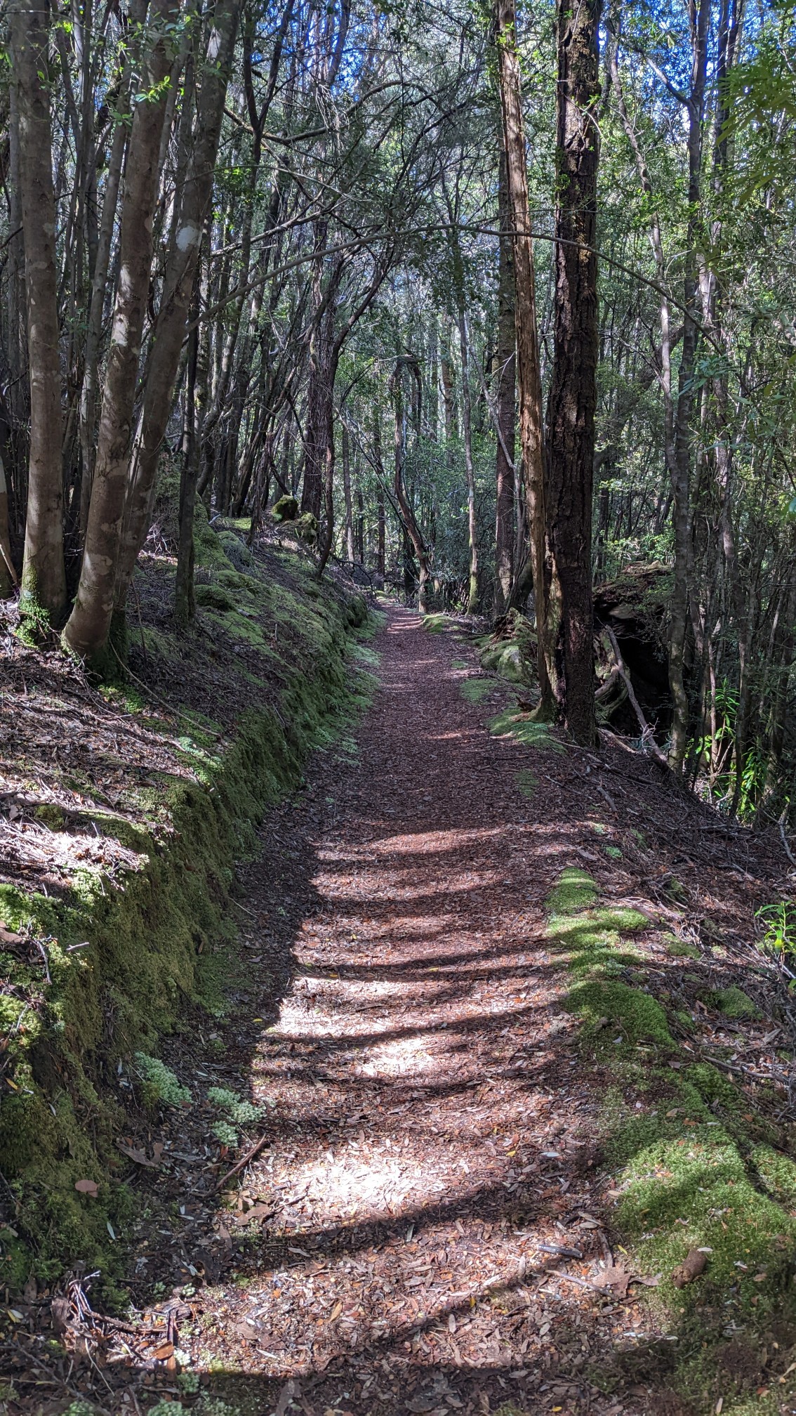
I climbed up out of the river’s little valley, and had a nice hour walking in a mossy old forest.
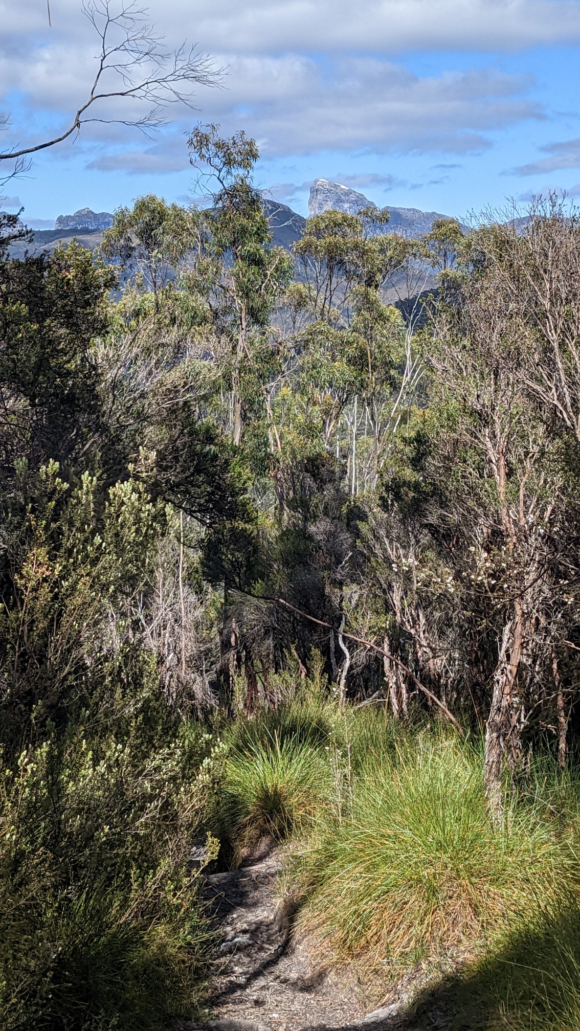
The trail climbed over the shoulder of Mt Mullens, and from the highpoint I could see my objective far ahead, Frenchman’s Cap. It still had a tiny bit of snow on top!
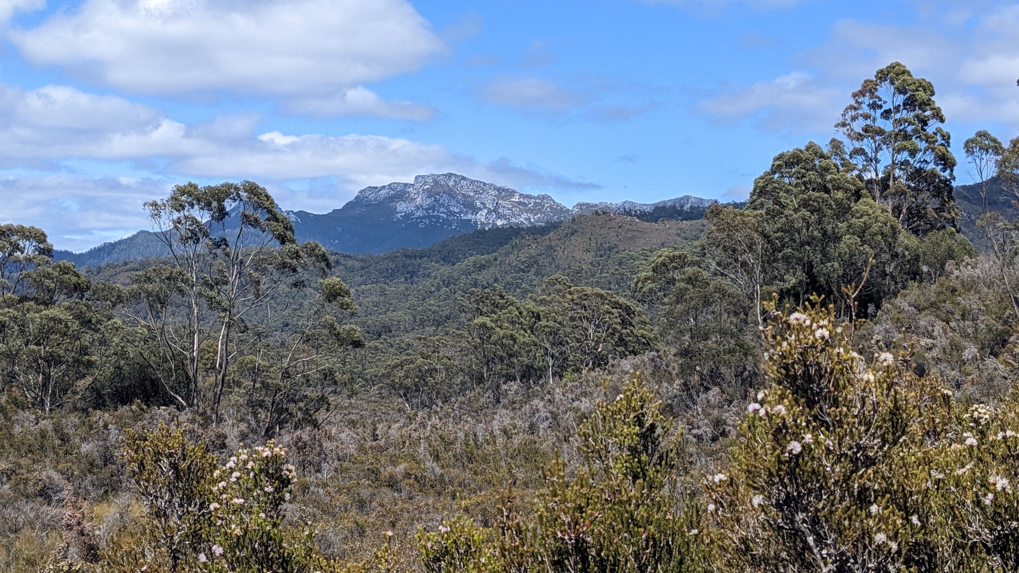
As I hiked downhill toward the Loddon River, I had more views of the mountains surrounding Frenchmans Cap.
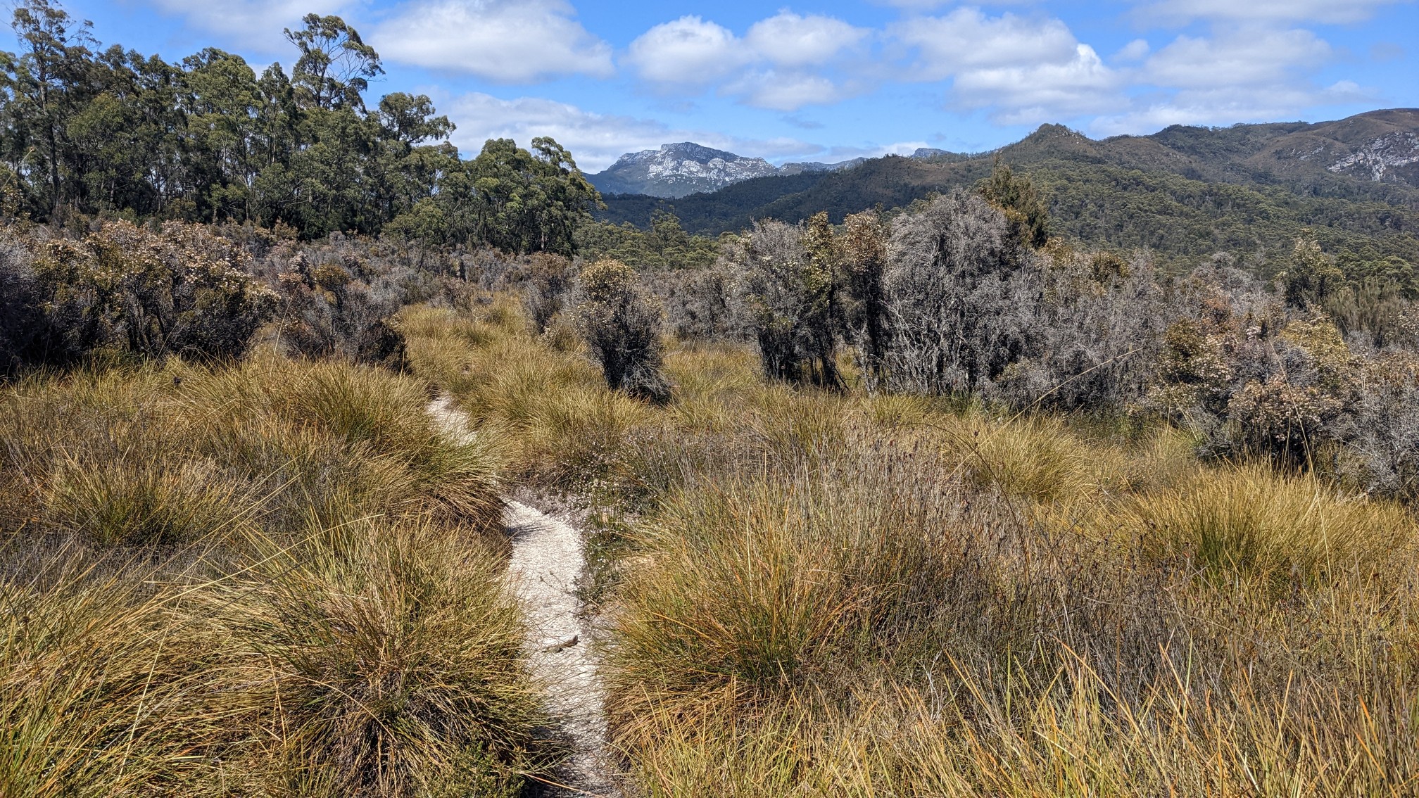
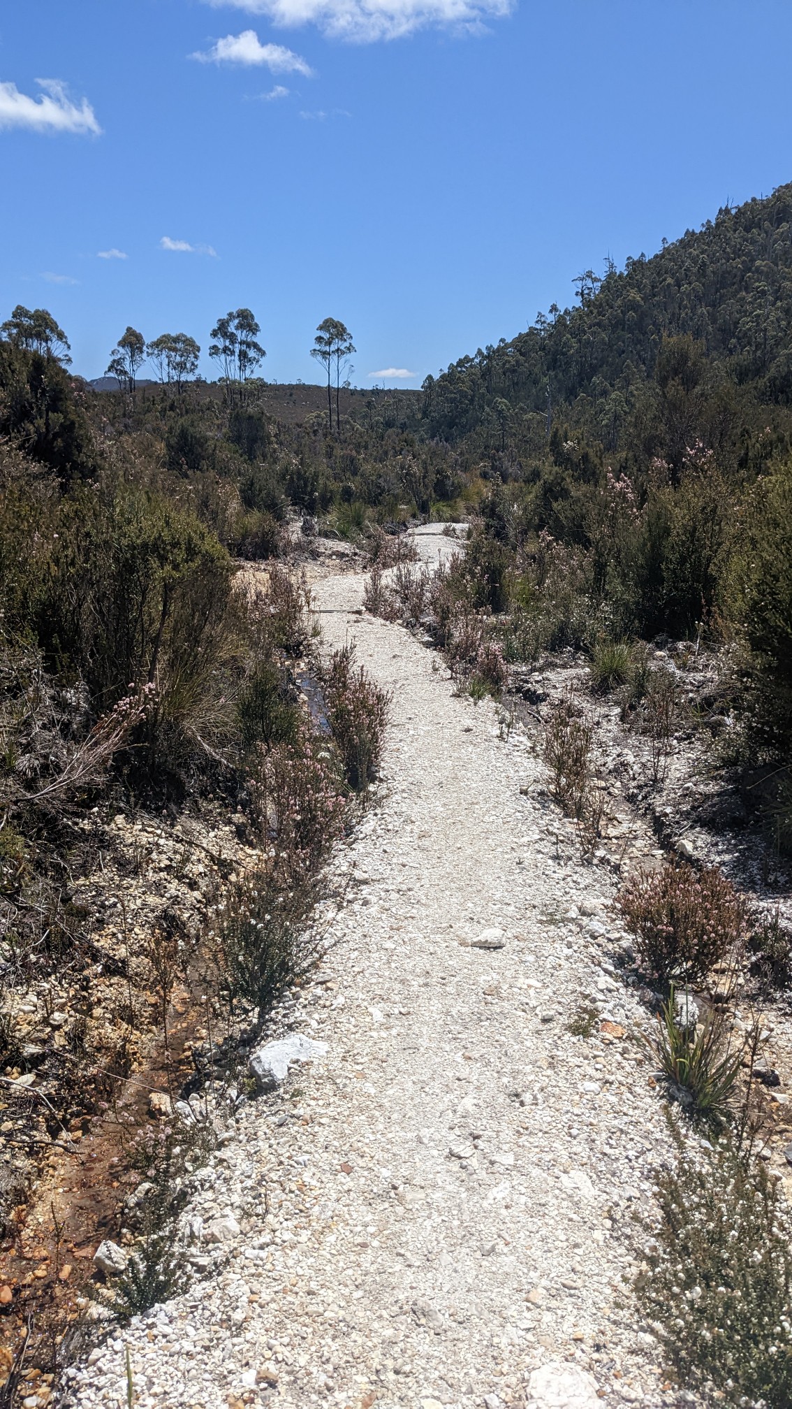
The plains were surprisingly not marshy, what a great trail.
At the lowest elevations near the Loddon River, the vegetation felt jungle-like.
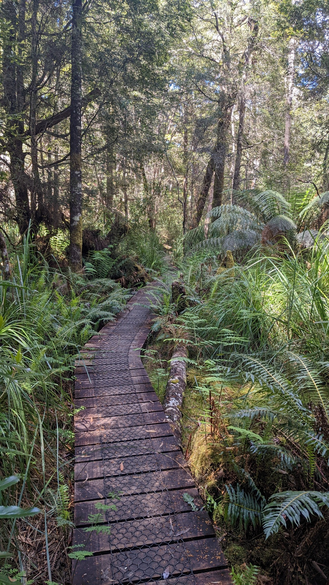
Another swingbridge! The Loddon River appeared much deeper and more swampy that the previous river.
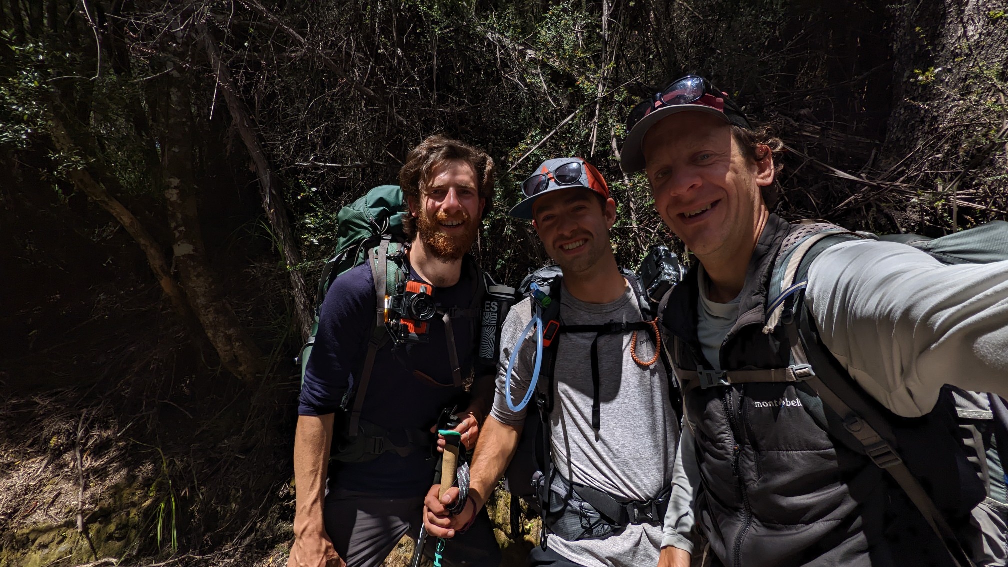
An hour later, I ran across two familiar faces! It took my brain awhile to register, since I wasn’t expecting to see anyone I know on this trail. I had met Matt and Owen a couple weeks ago, on the Overland Track. Small world!
The rest of the morning went by uneventfully, as I made my way thru plains and forests.
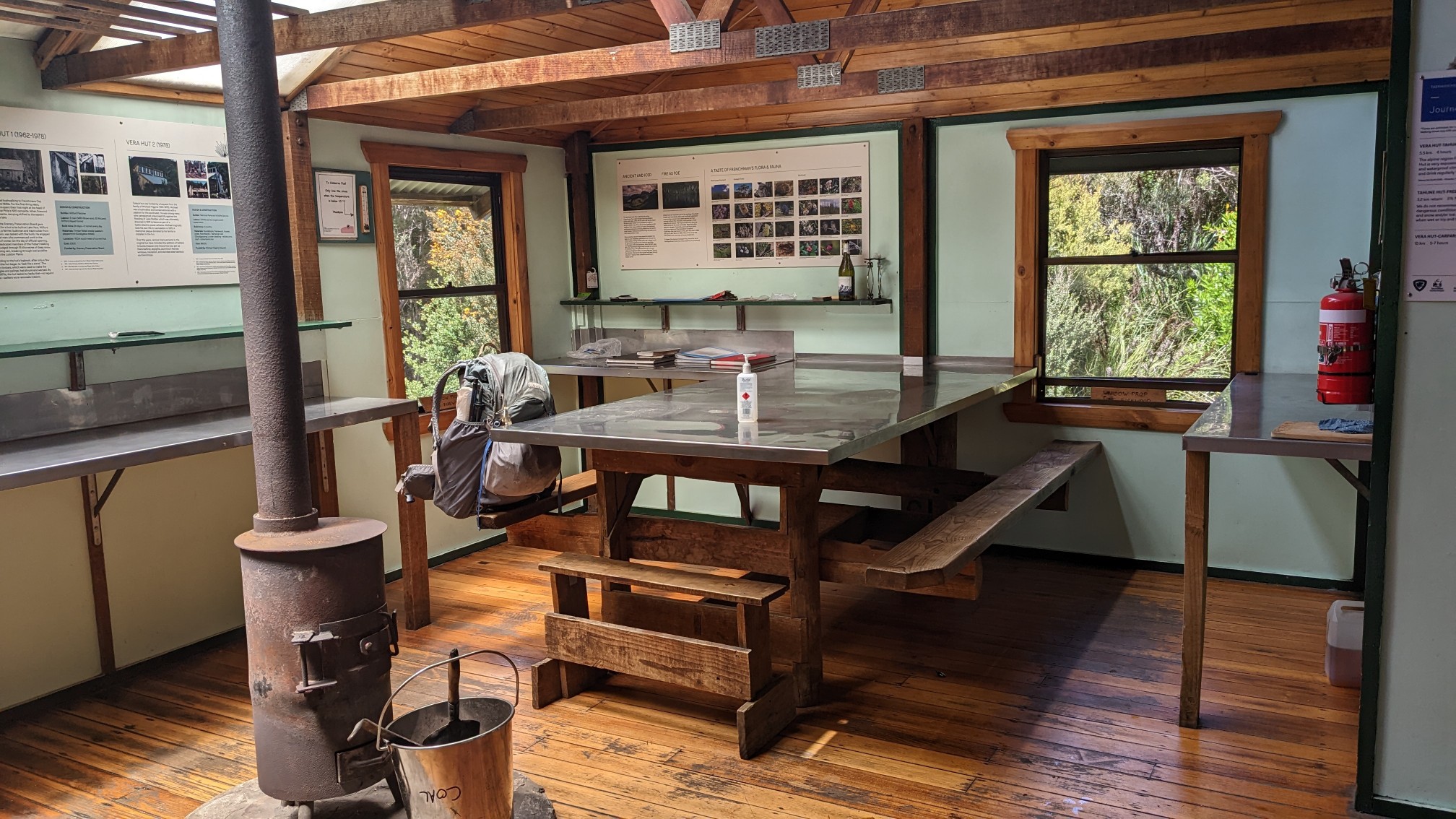
The first hut on the track was Vera Hut, about 15km from the trailhead. I think it sleeps 20 people.
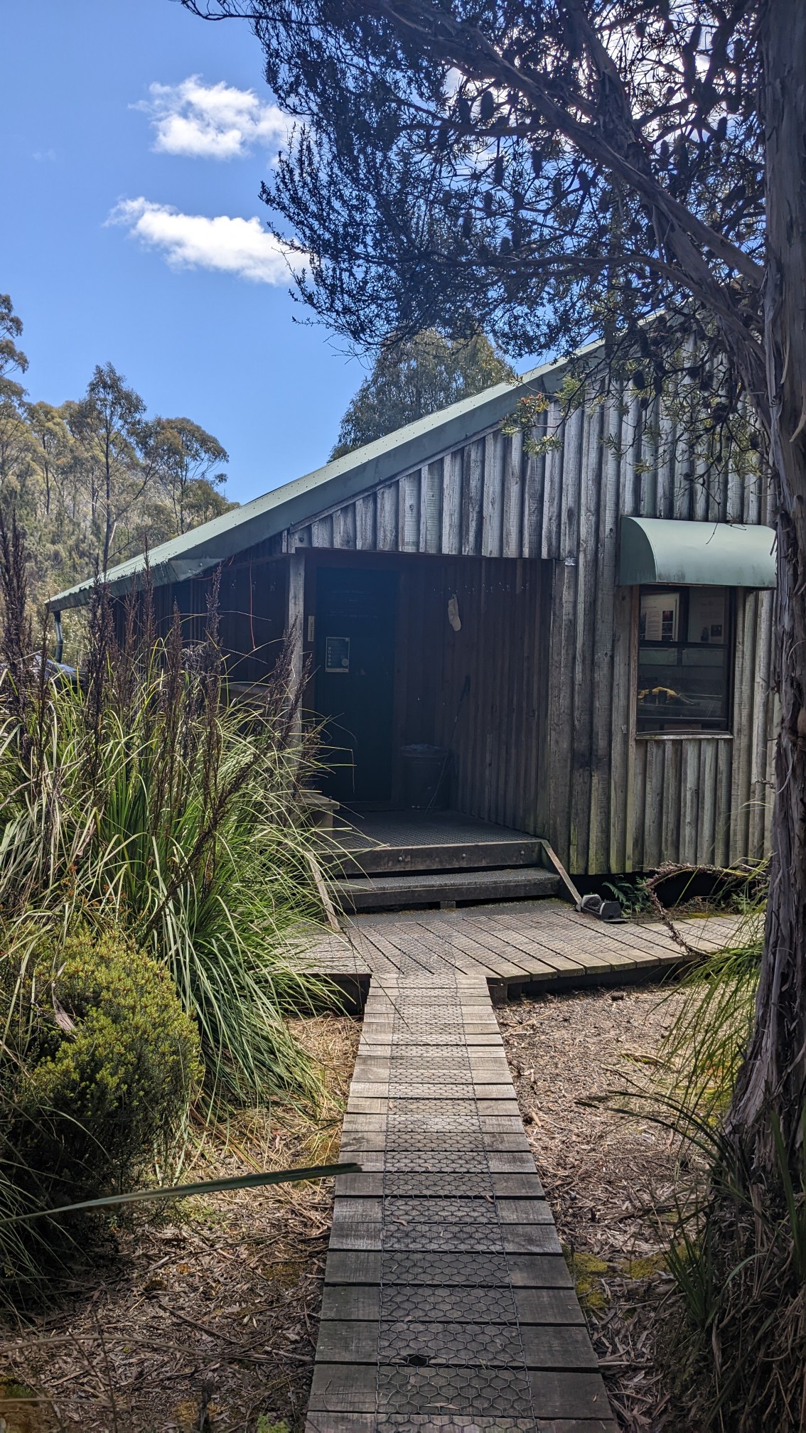
Since it was almost 1pm, I decided this was a nice lunch spot. The posters explained the history of this hut, which took a few tries to get it built correctly, haha!
After lunch, I hiked another 6km to the next hut, Tahune Hut. The trail was quite a bit rougher with tons of roots, rocks, and little ladders like this one.
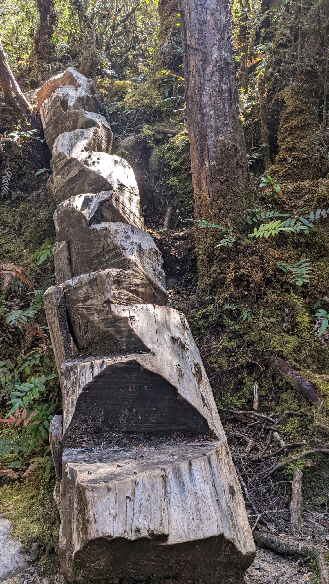
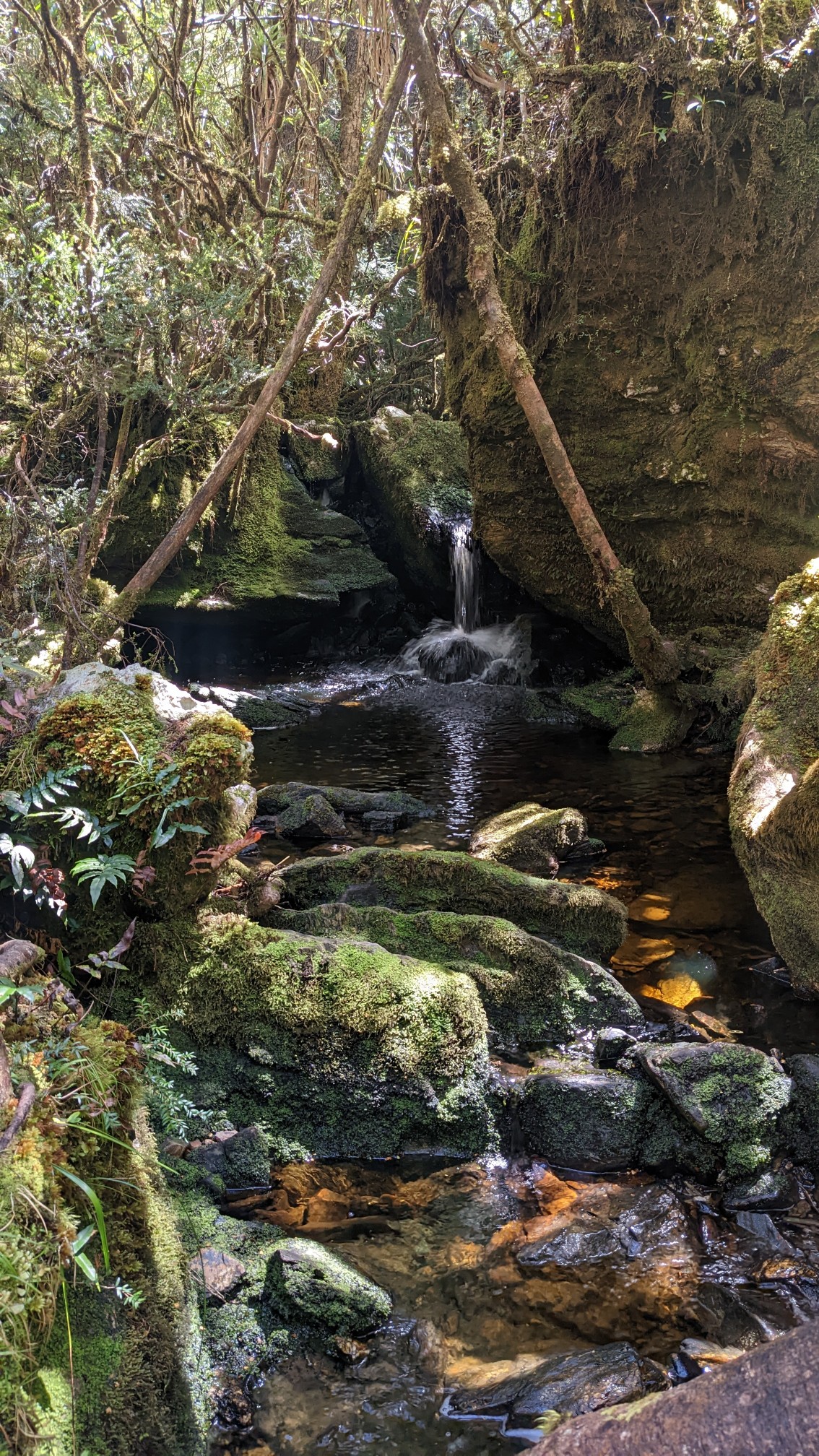
That’s definitely a creative solution to make a ladder! The first 15km took me 3.5 hours, the 6km to Tahune Hut took 2.5hours. Ouch. At least there were lots of cool tiny waterfalls along the climb up.
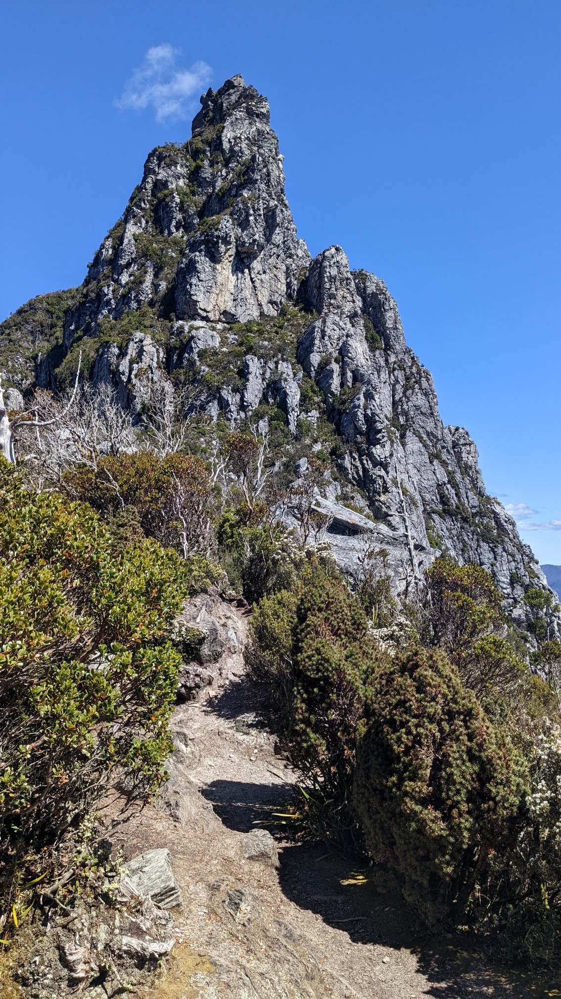
It felt like a relief to get up to Barron Pass, because it’s the same elevation as the hut, so theoretically there was no more elevation gain. It also had amazing views. To the south:
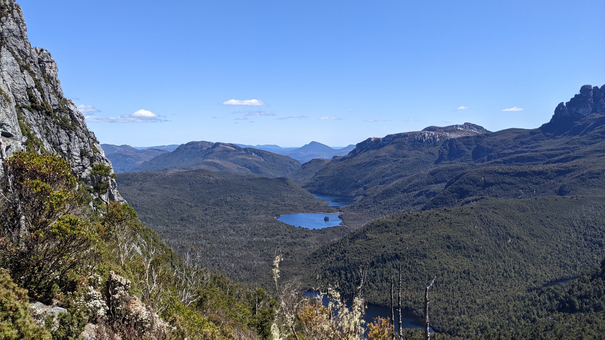
To the Southwest, over Lake Millicent and Lake Magdalen:
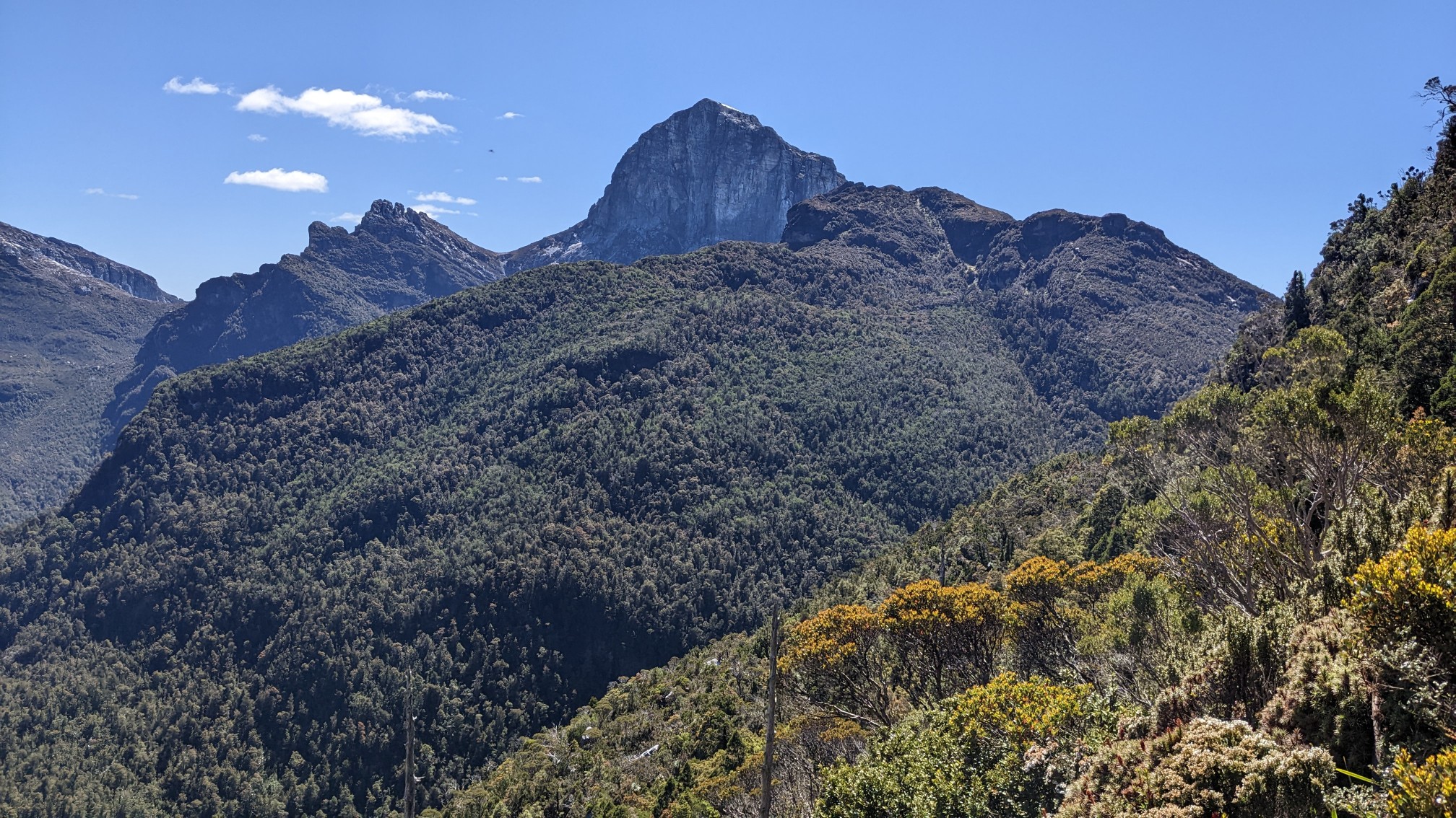
And to the west, looking at Frenchmans Cap:
The traverse of the ridge didn’t go as planned, since it wasn’t flat. There were lots of little 10m climbs up and down, which don’t show up on a contour map.
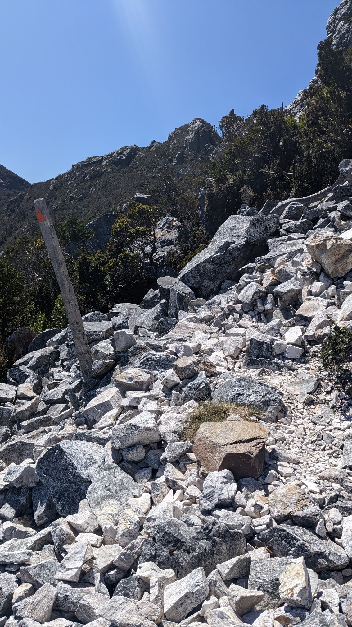
The trail stayed on the ridge for awhile.
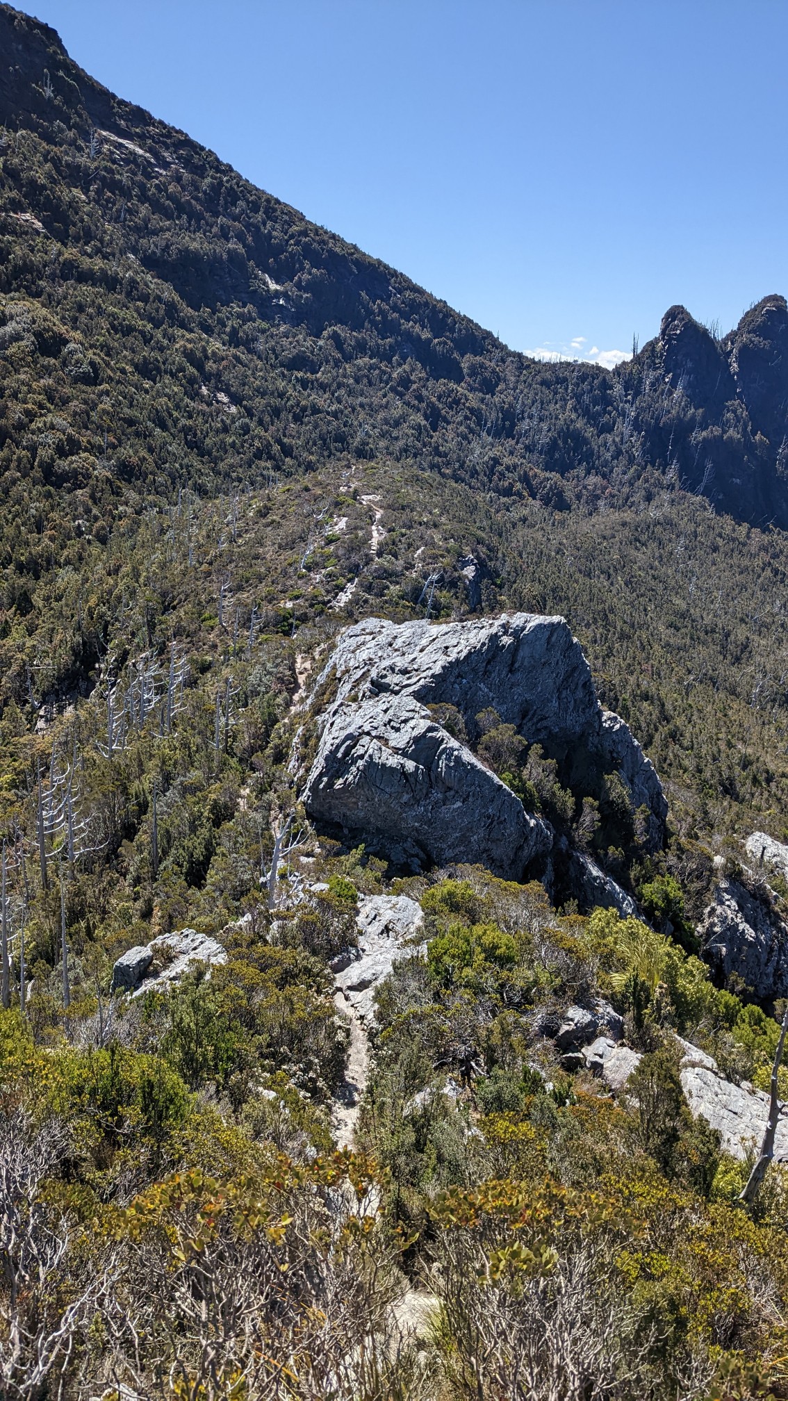
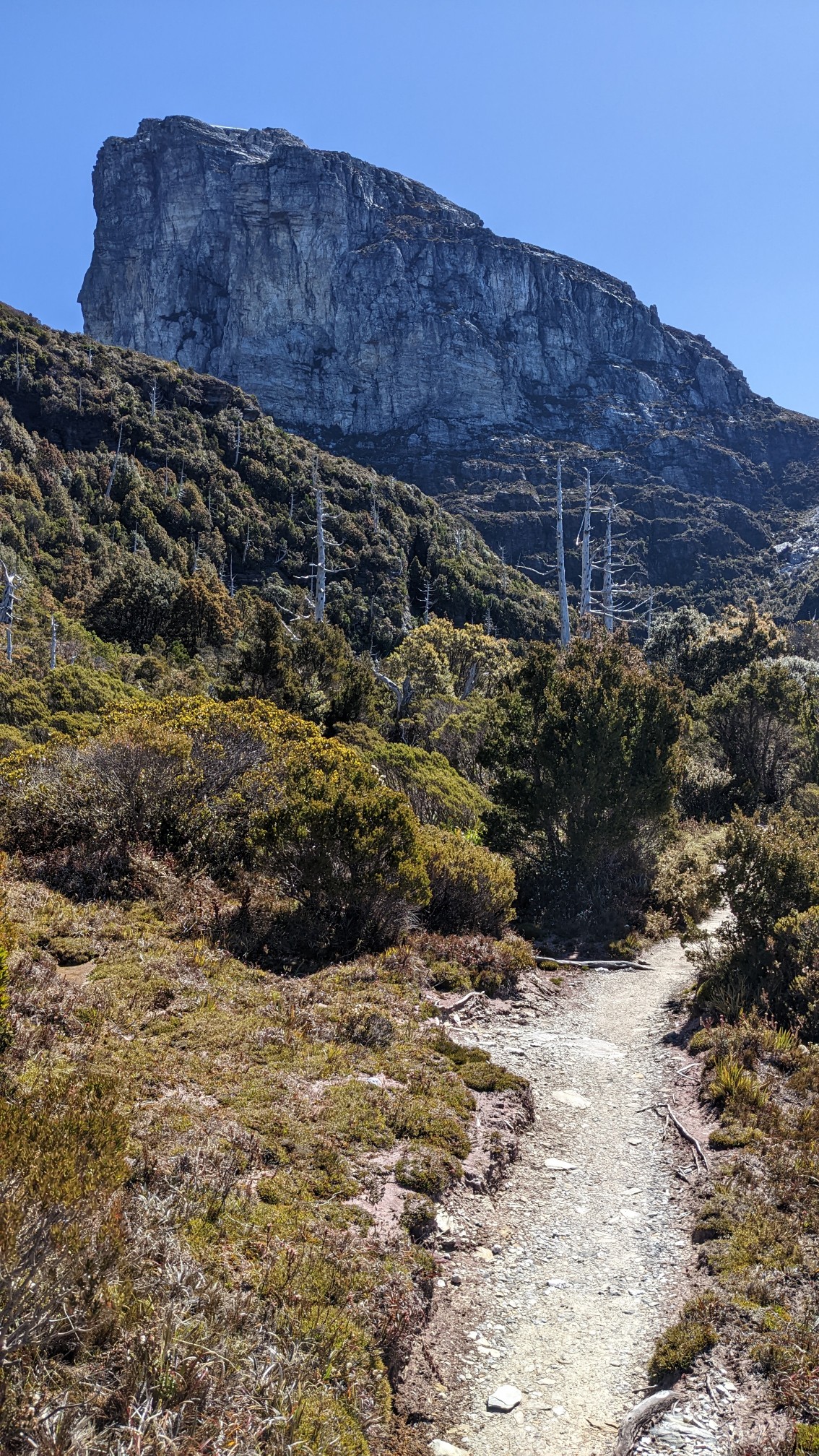
Frenchmans Cap was slowly getting closer!
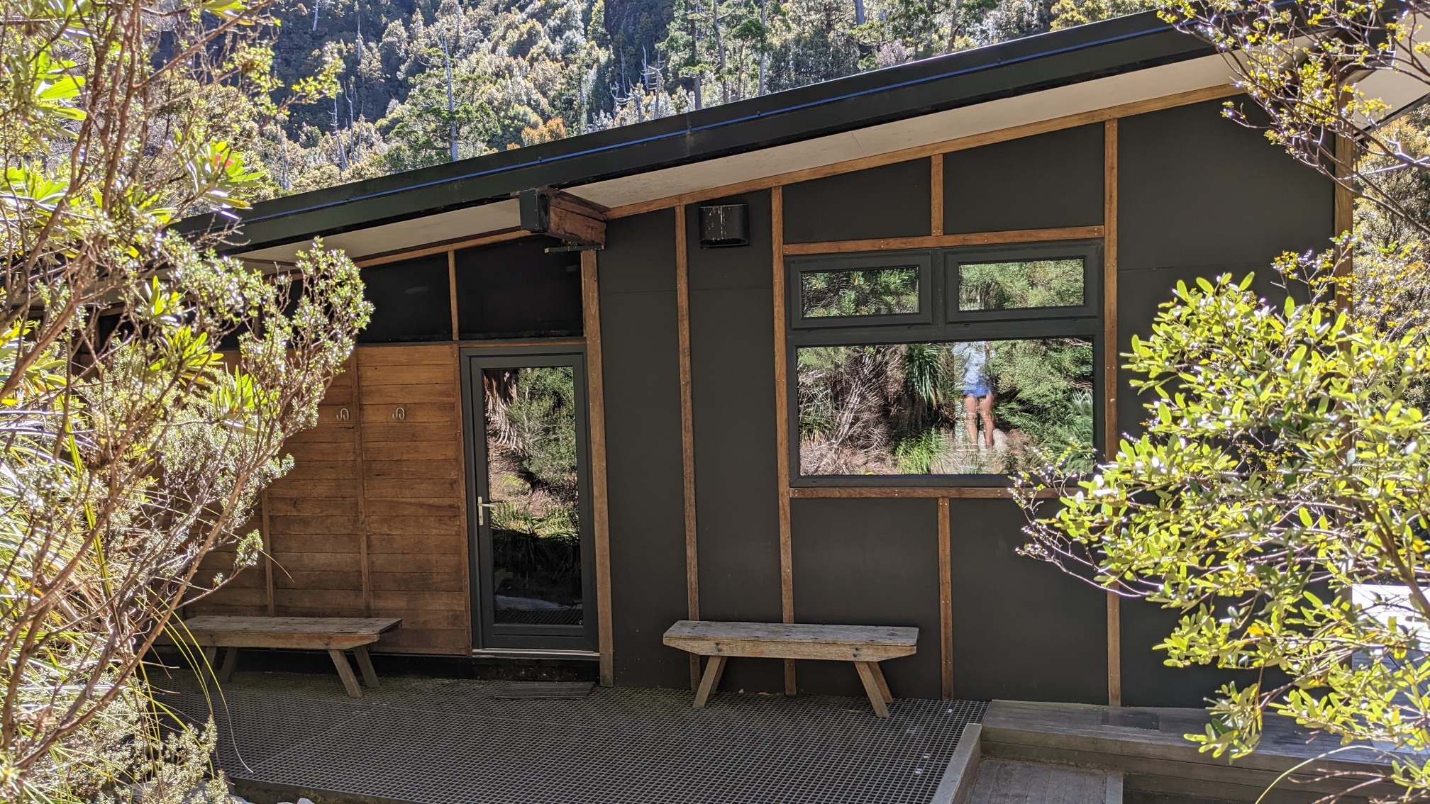
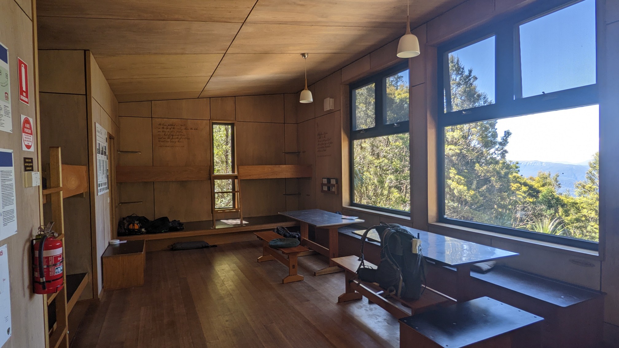
I arrived at Tahune Hut just after 4pm. It’s a relatively new hut, with modern insulated walls and windows, solar LED lights, and fancy long-drop toilets.
I ate some snacks, and dropped off most of my stuff on one of the bunks, since I’m staying here tonight. The summit was a short 1.5km from here, so I didn’t need much more than snacks and water.
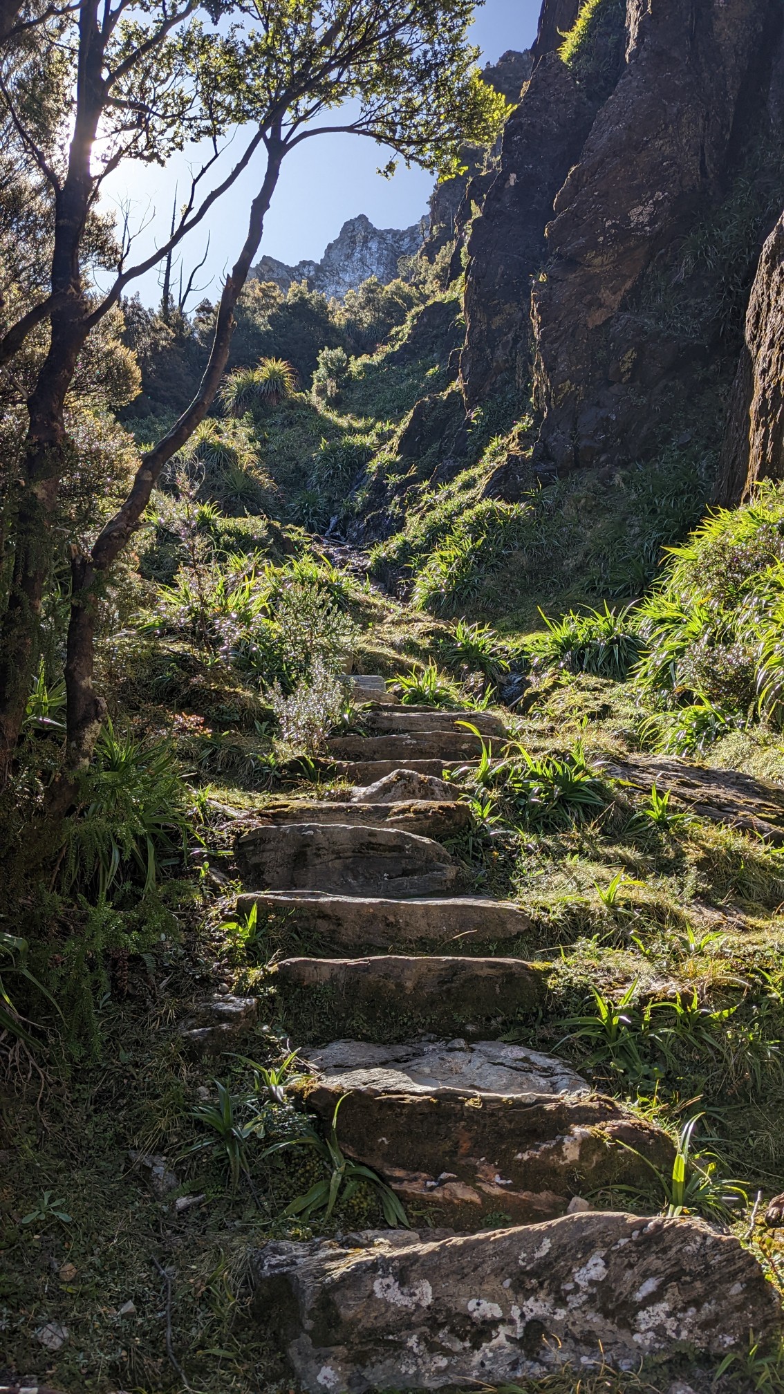
I knew it would be steep, since I had to climb 400m in only 1.5km. So many stairs!
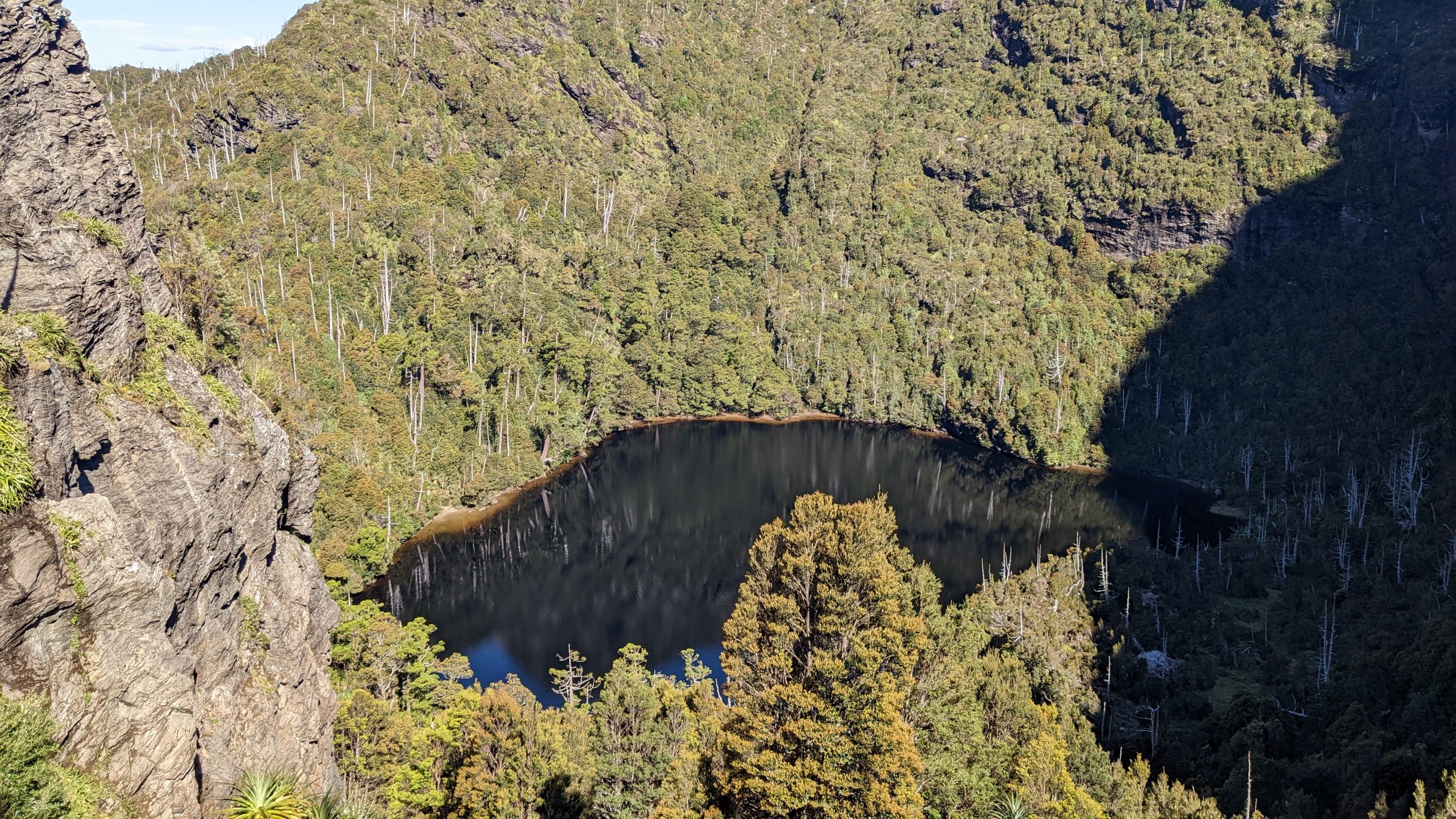
As I climbed higher, I could actually see Lake Tahune, which was not visible from the hut.
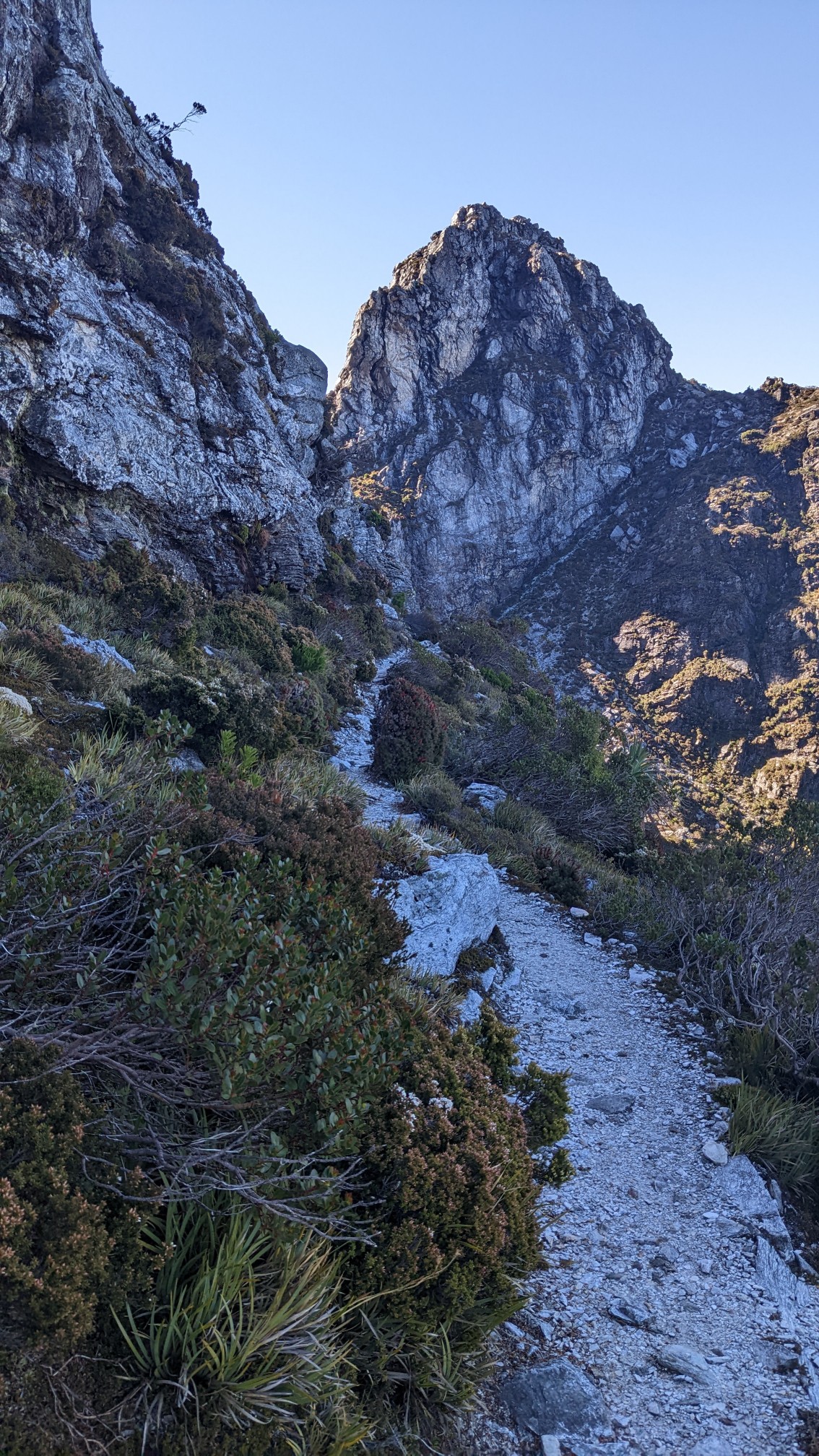
Up higher and higher, the trail was now mostly on rock.
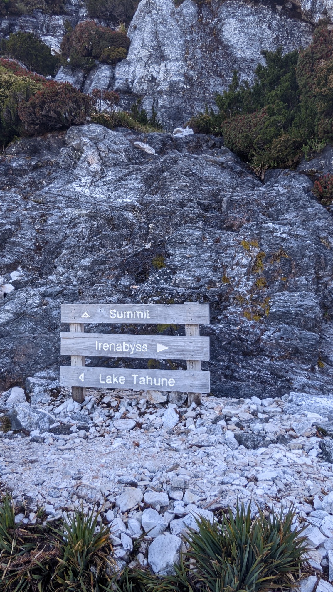
This was one of the most ridiculous trail junctions I have ever seen. Summit? Straight up the rock face.
Yup, a short class 4 scrambling section was part of the trail. I had a ton of fun doing this, but I wouldn’t want to be there in bad weather.
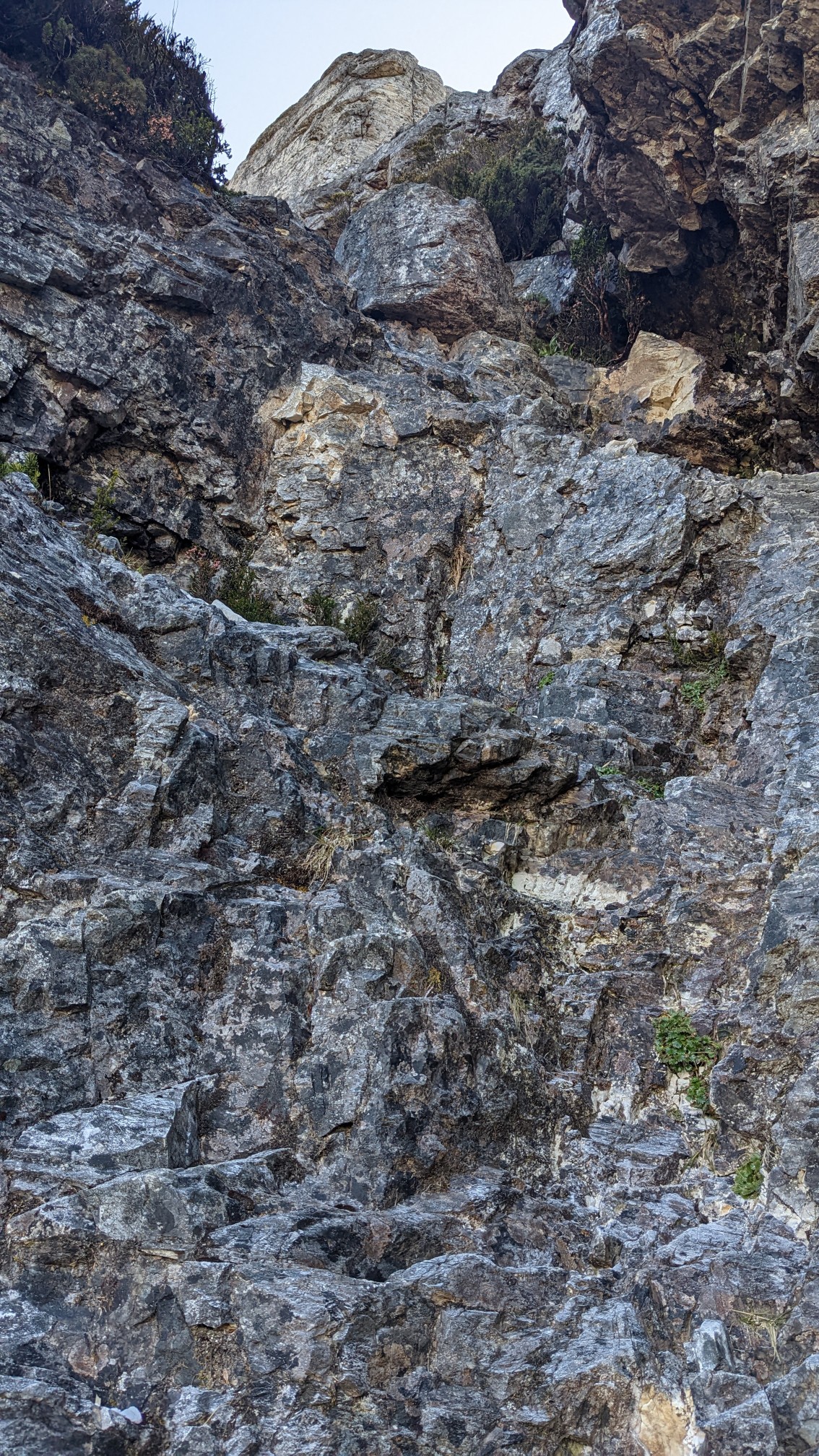
I still couldn’t believe that I was getting such amazing weather.
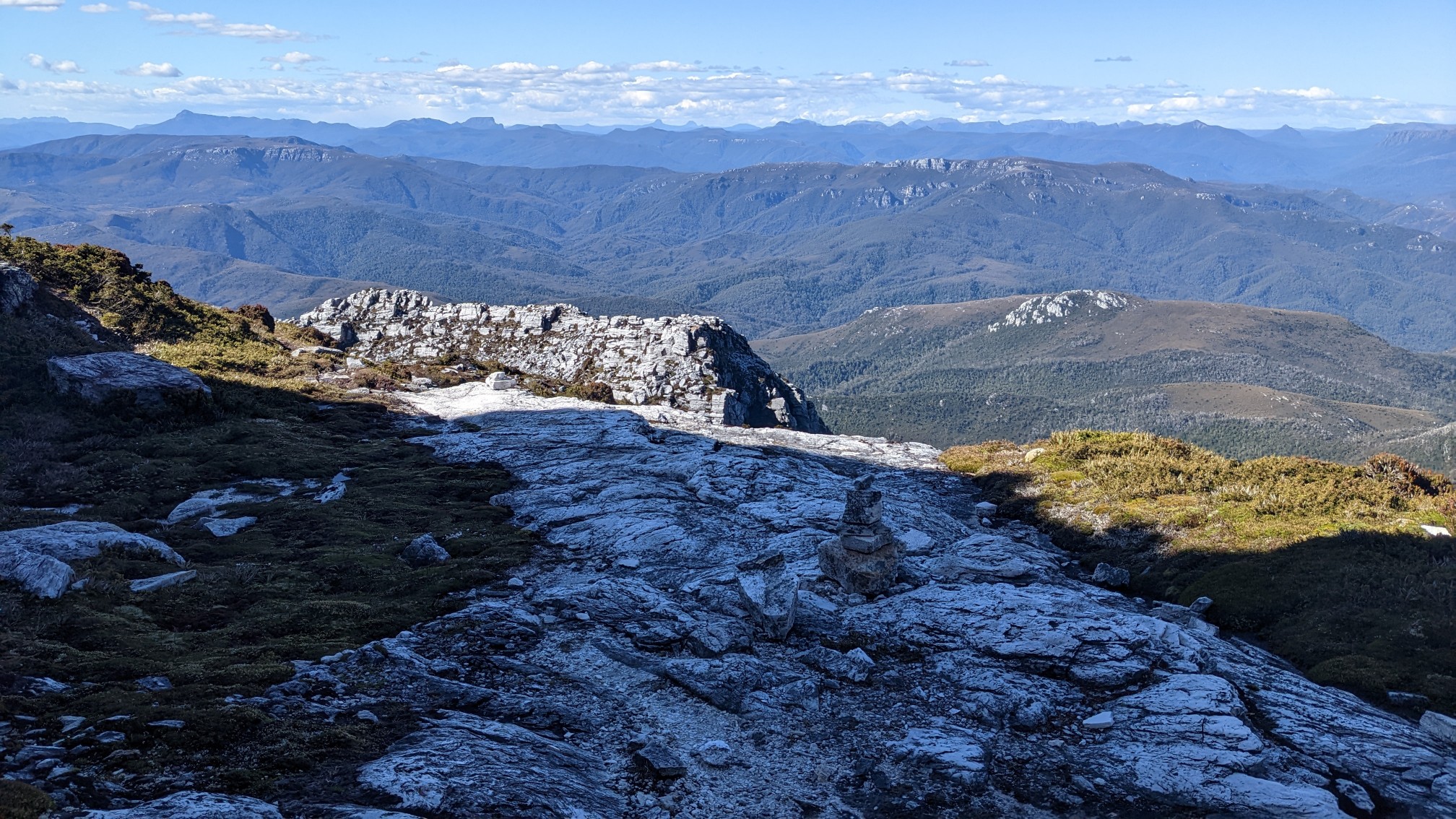
There was still a tiny piece of a snow cornice from the previous winter!
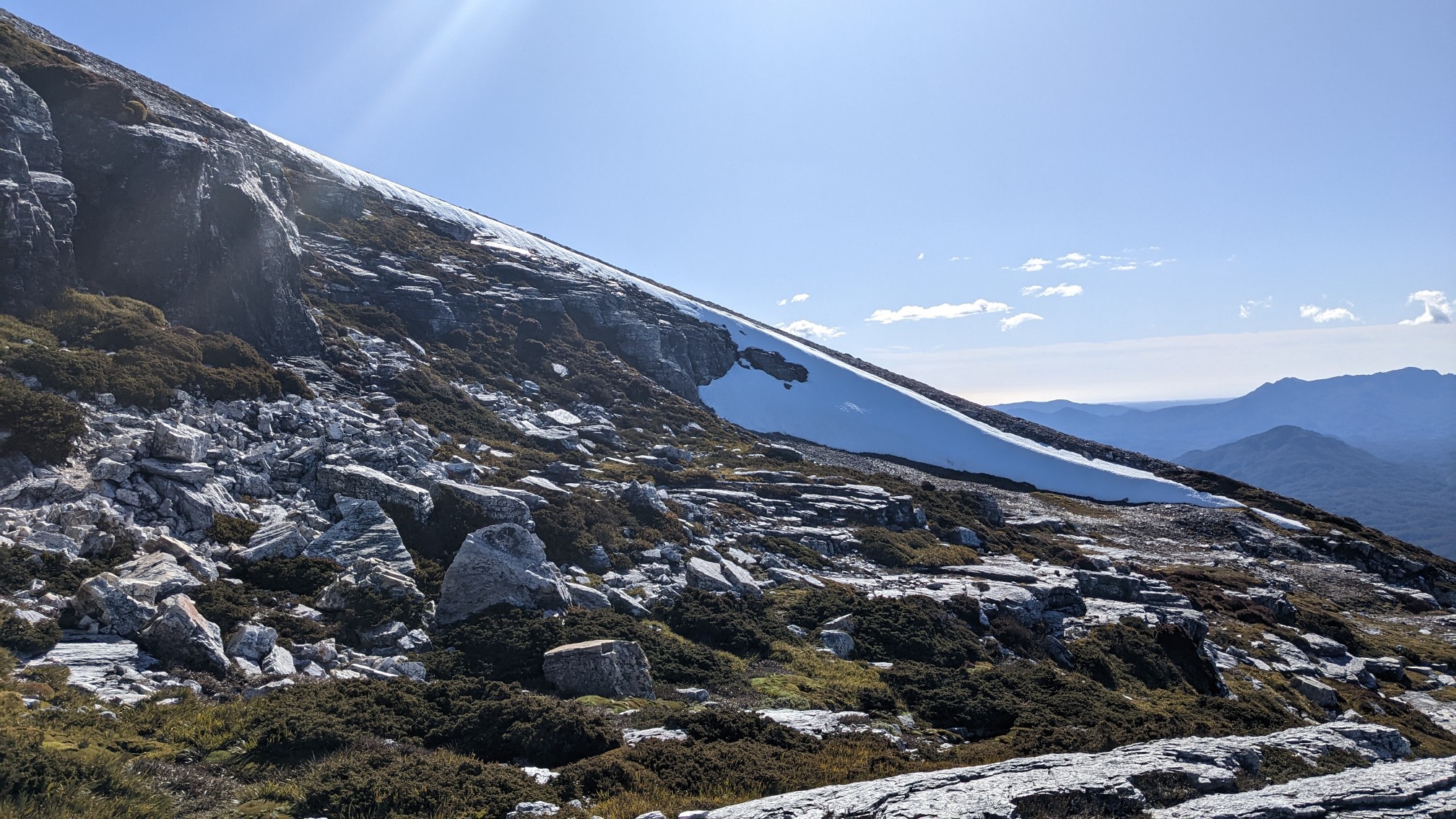
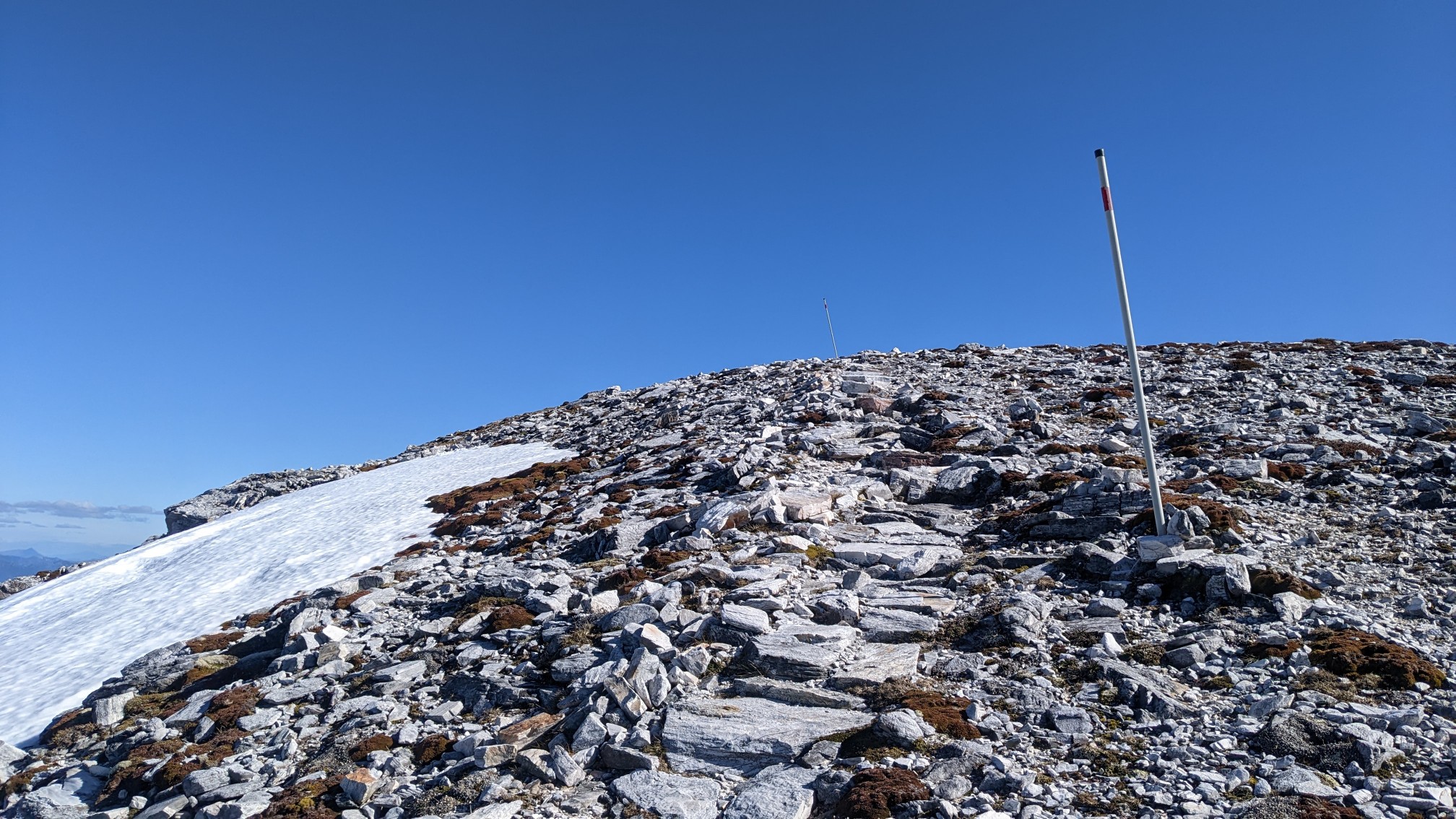
The summit was just over the next rise….
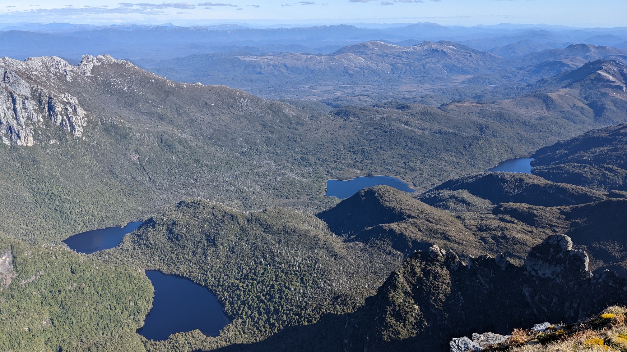
The view from the summit! These were the same lakes I saw from Barron Pass earlier.
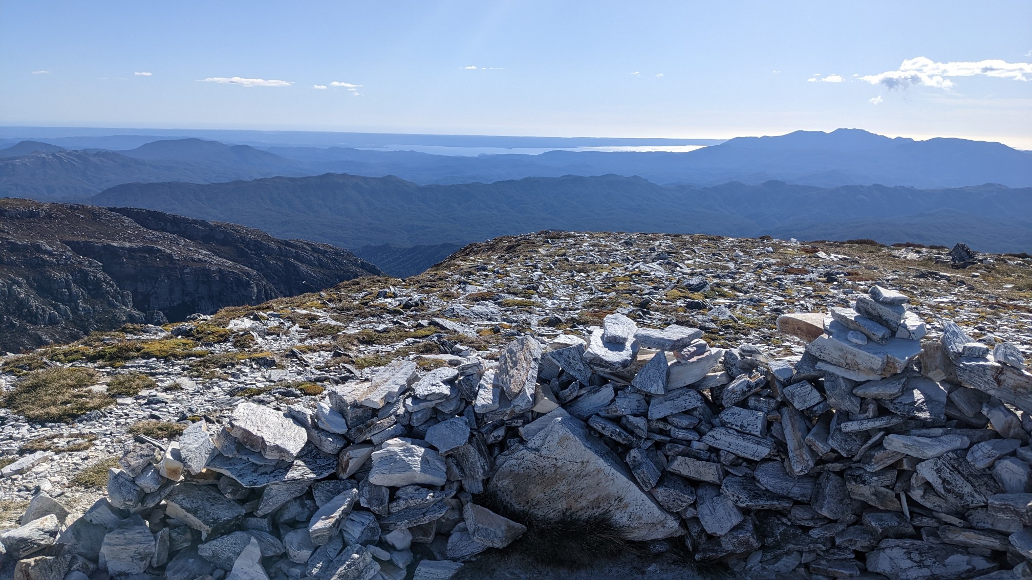
The view to the west, I think that glimmer of water in the distance is Macquarie Harbor. The ocean!
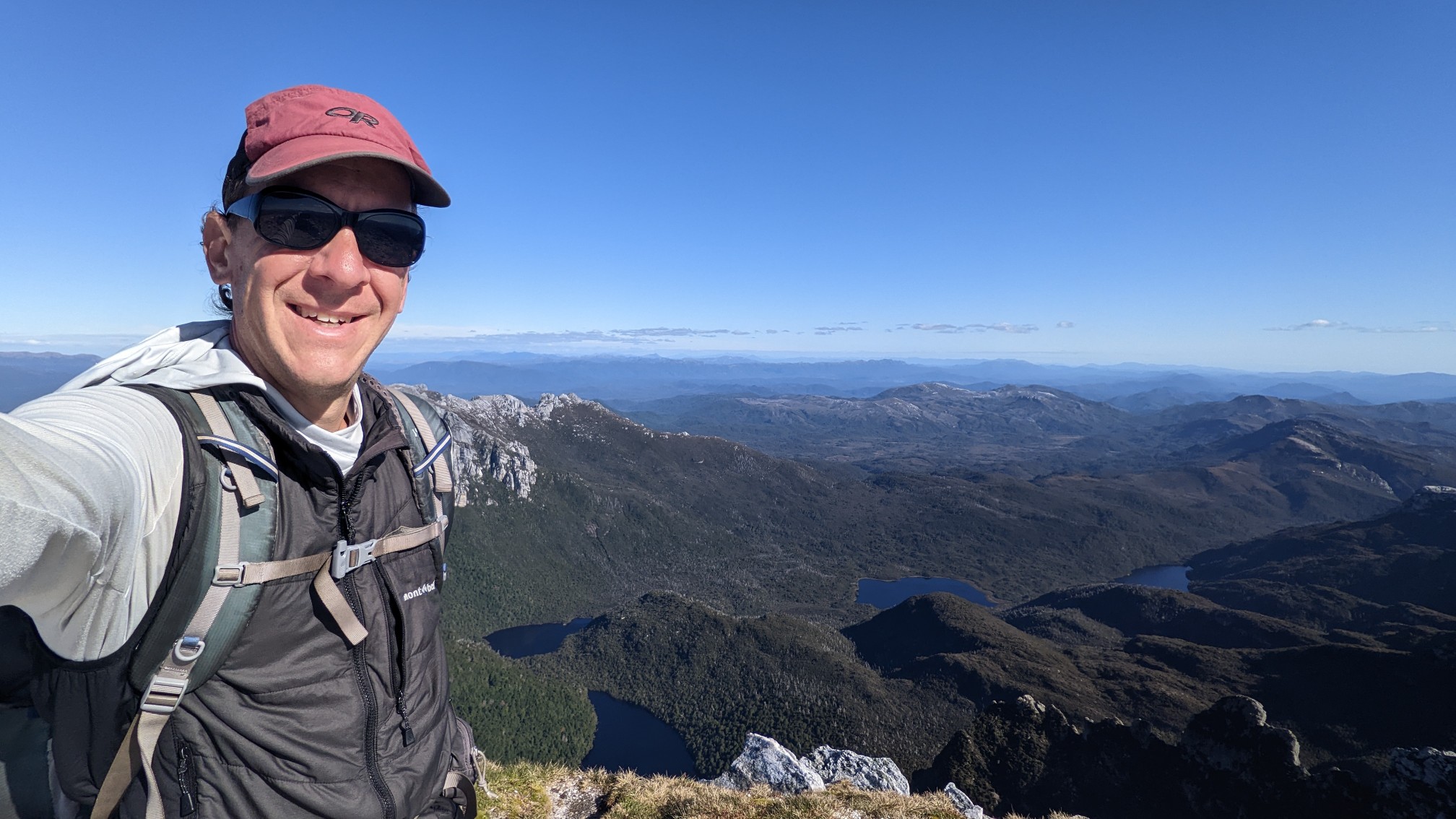
There weren’t any other people up there, so the selfie mode was employed. Since it was so warm and there wasn’t any wind, it was actually pretty easy this time.
I stayed on the summit for at least 45 minutes enjoying the views and the warm weather. The return trip down was a little faster, but because of the down scrambling and short technical sections it still took 40 minutes. I was back at the hut at 6:30pm, where there was a group of 5 making dinner. They were making some big elaborate meal with lots of ingredients, pots and pans, and seemed like it was taking forever. I made my one-pot meal in 10 minutes and then took it down to the lakeshore to enjoy the sunset.
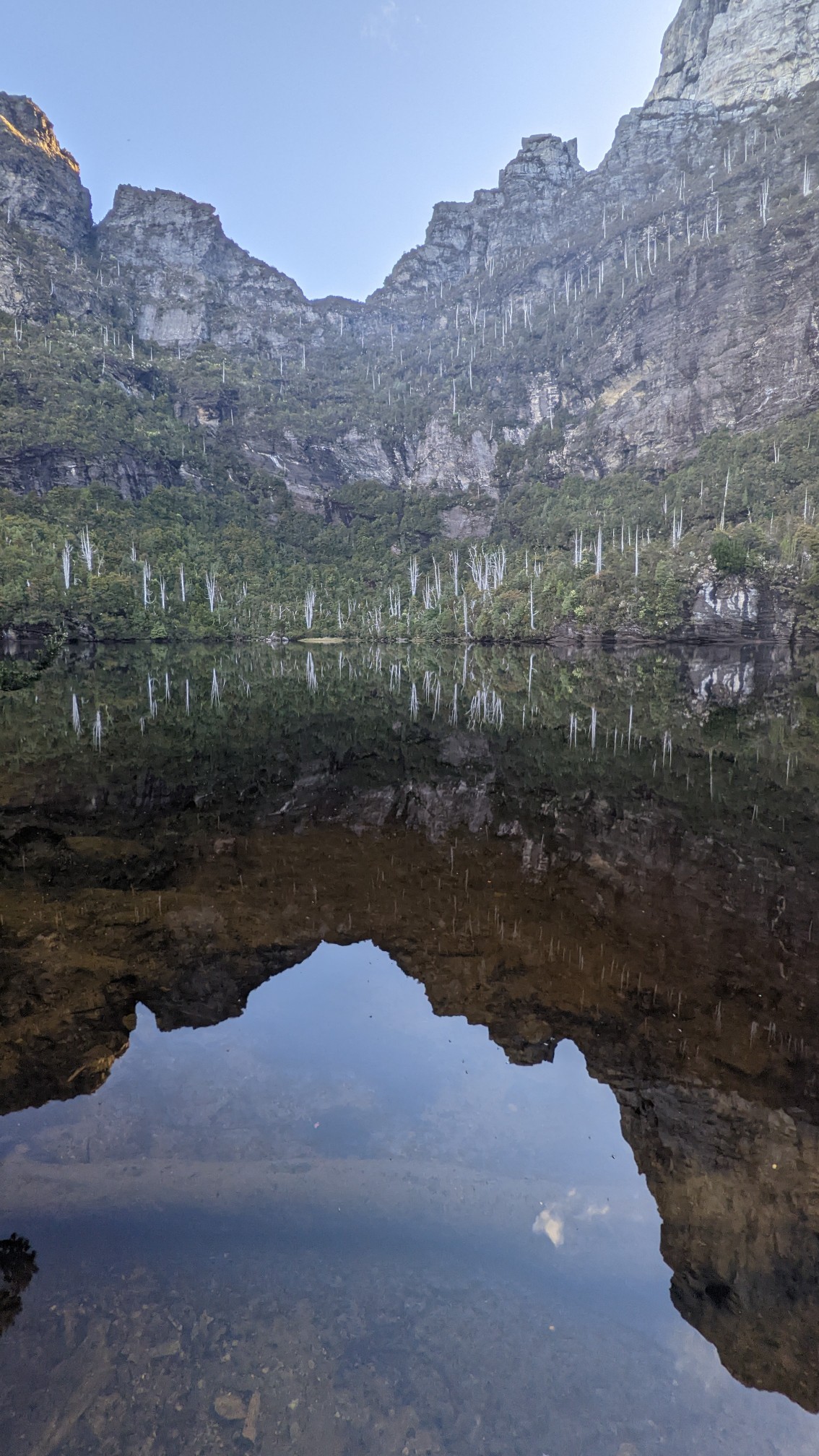
Frenchmans Cap looked so tall from Lake Tahune, and I loved that I could see it from here. Apparently the mountain is often shrouded in clouds and fog, so I’m very happy I got a rare good weather day up here.
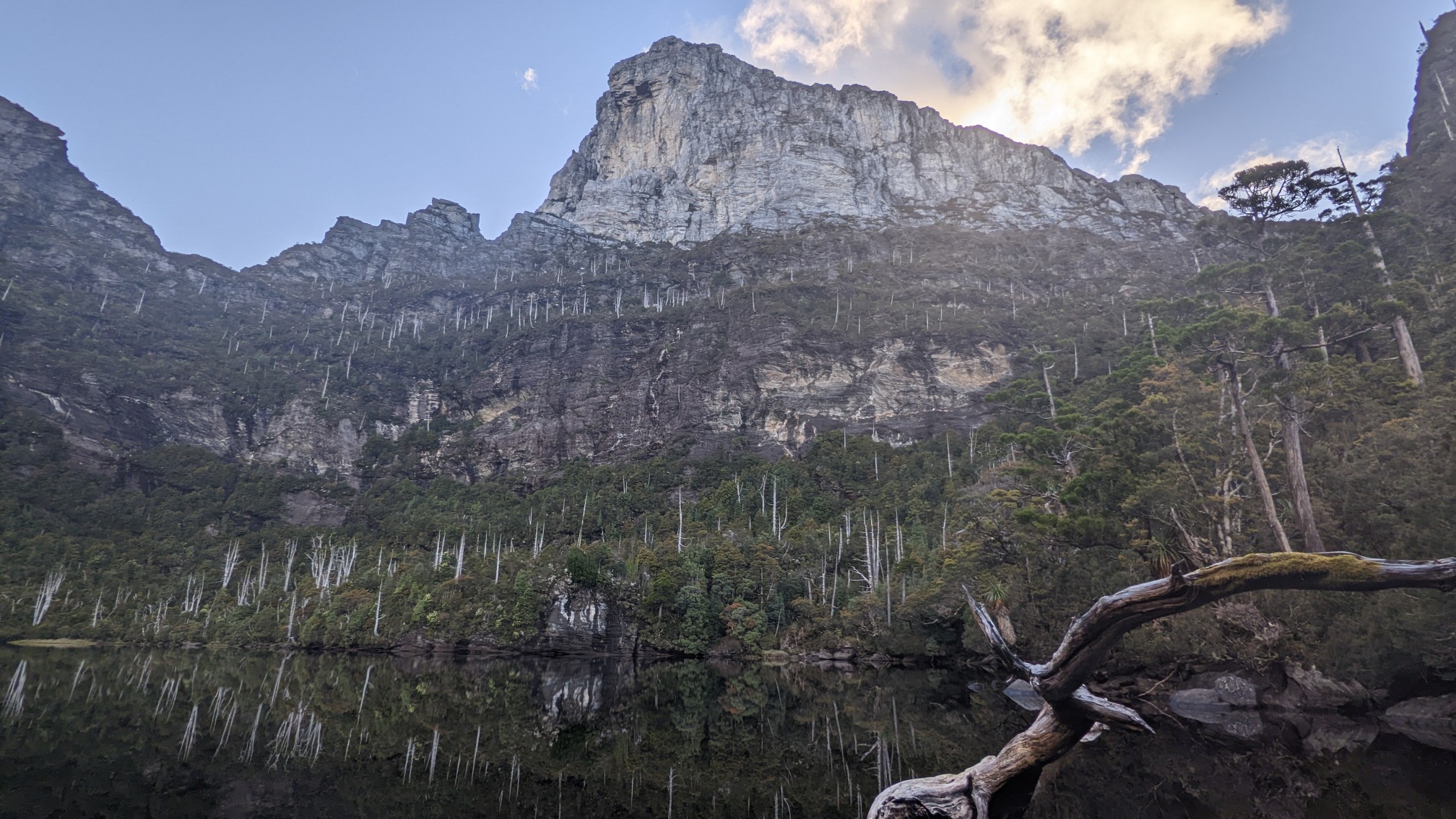
I finished my dinner and cleaned up and was in bed by 8:30 pm, tomorrow is going to be an easy day hiking back out 21km to the car.
Luck was on your side for the good weather. Great views!