Thursday April 27, 18.9mi/30.4km
Needles Outpost (84.0/4920ft) to Devils Pocket Campsite (84.0/5400ft) (UT) + 18.9mi Needles Alternate
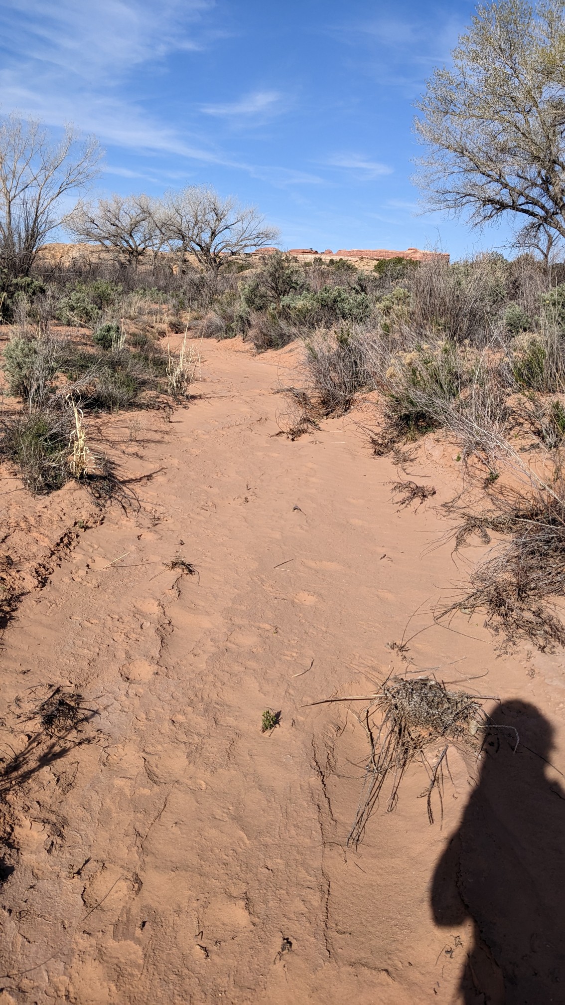
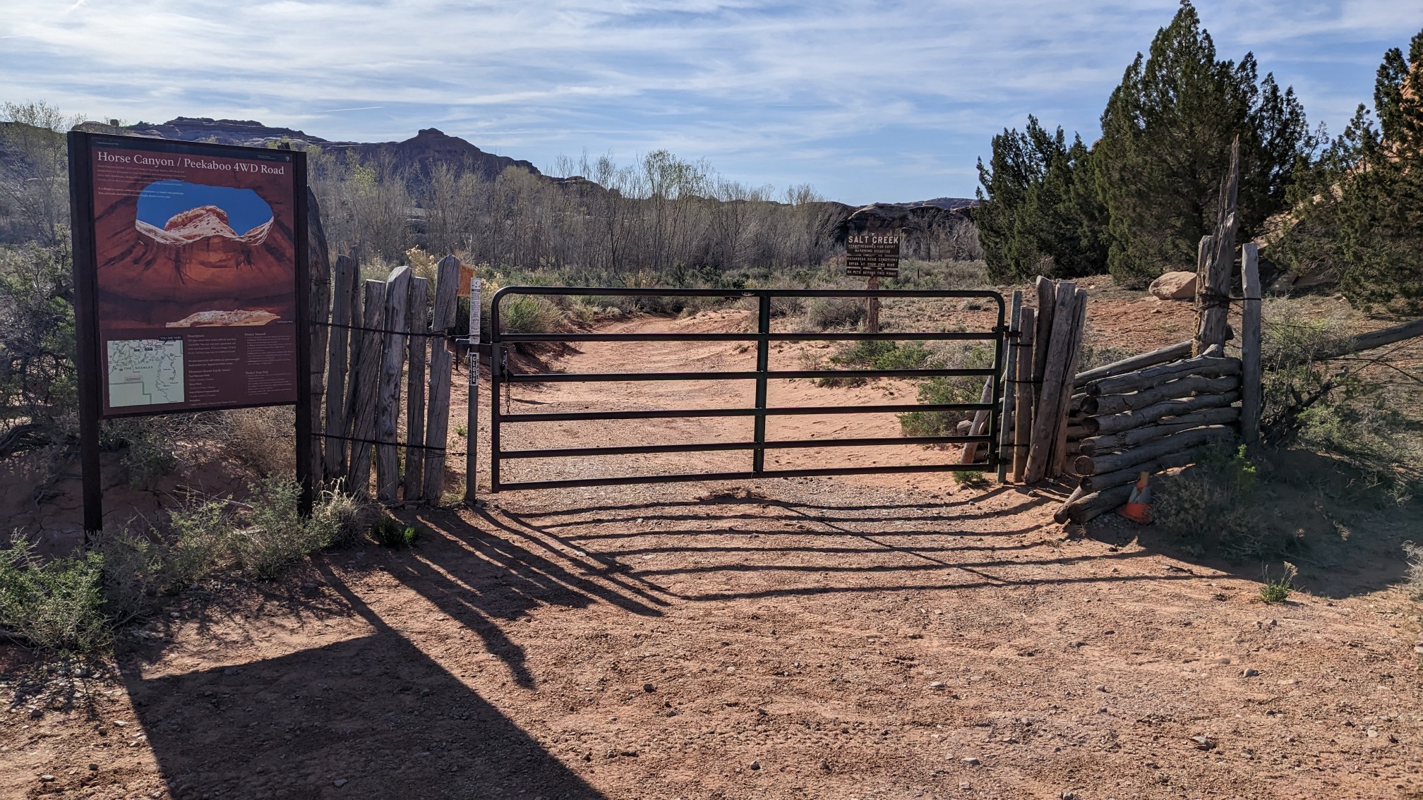
I packed up early at 7am but then I had to charge my phone and headlamp at the camp store. I sat on the porch for an hour while things charged, and I caught up on my phone stuff. I hiked out at 8:15 and went cross-country up a wash for 30 minutes to Cave Springs trailhead.
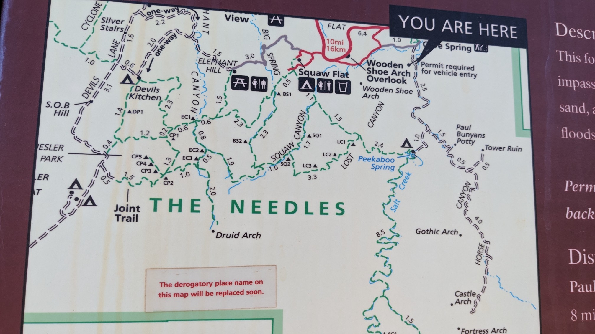
It was funny that they put a sticker on the map to say they are updating the map. Why not just put a sticker with the new name over the old cringe-y name?
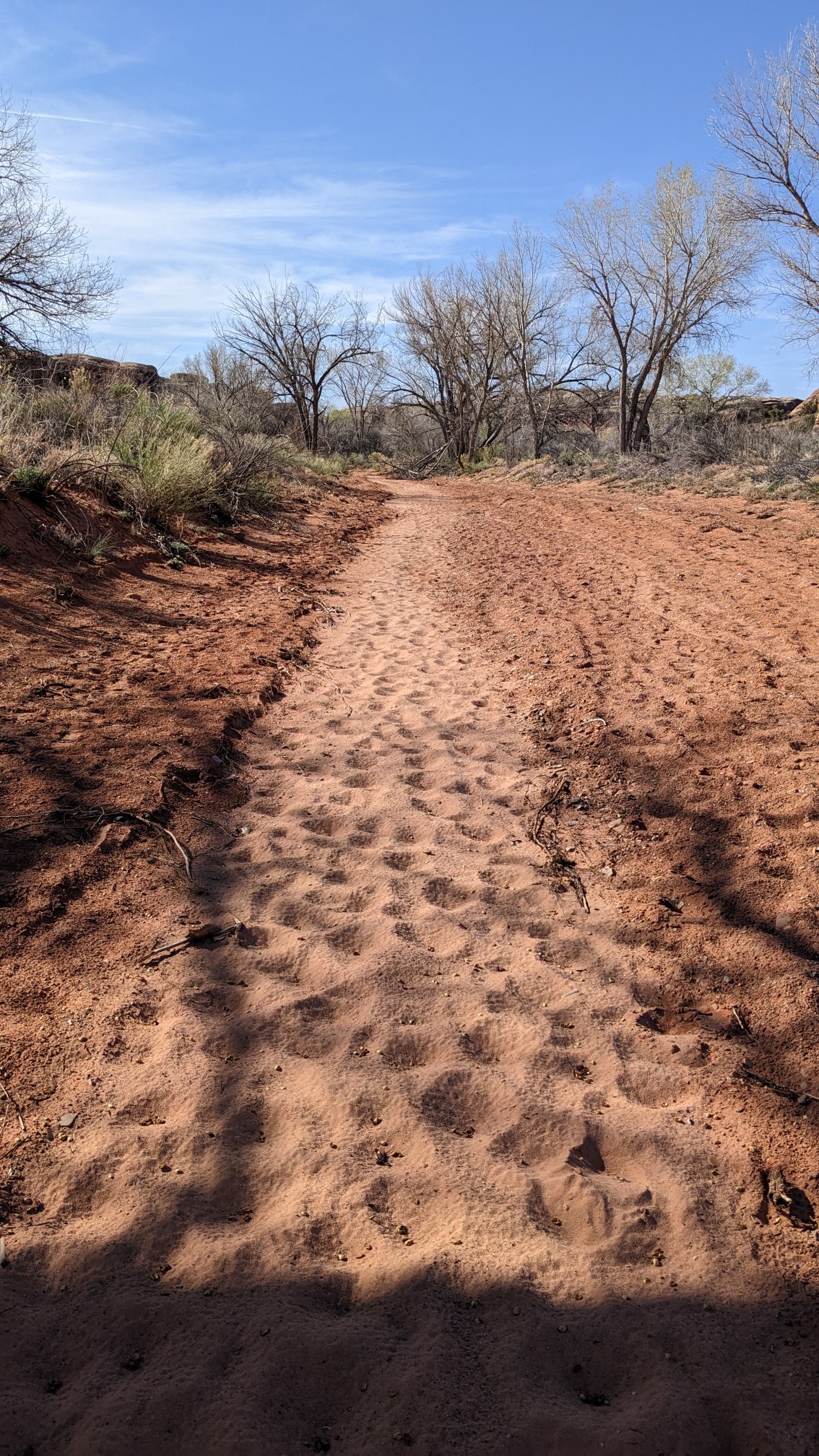
I walked up salt Creek Canyon for an hour and started seeing more needle formations.
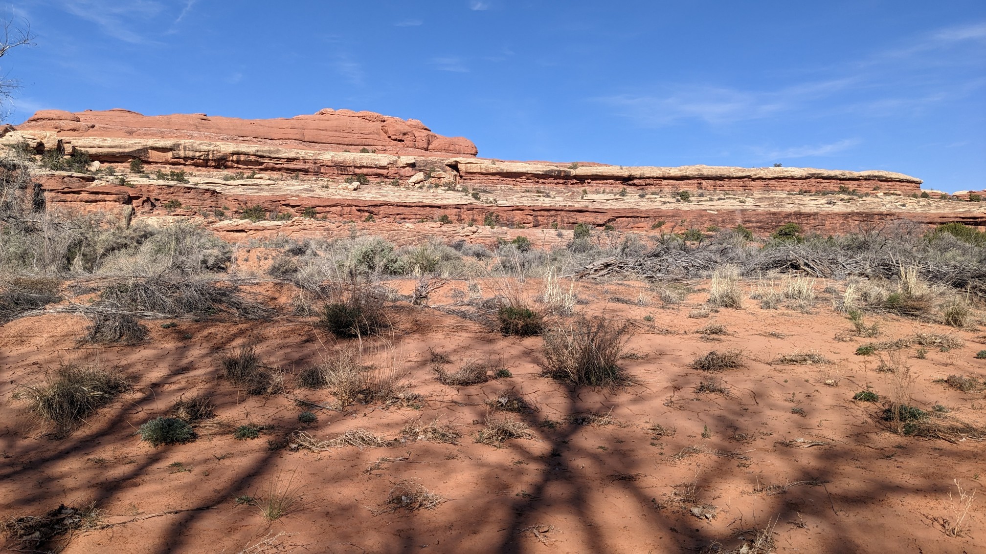
The walking was very slow in the soft sand.
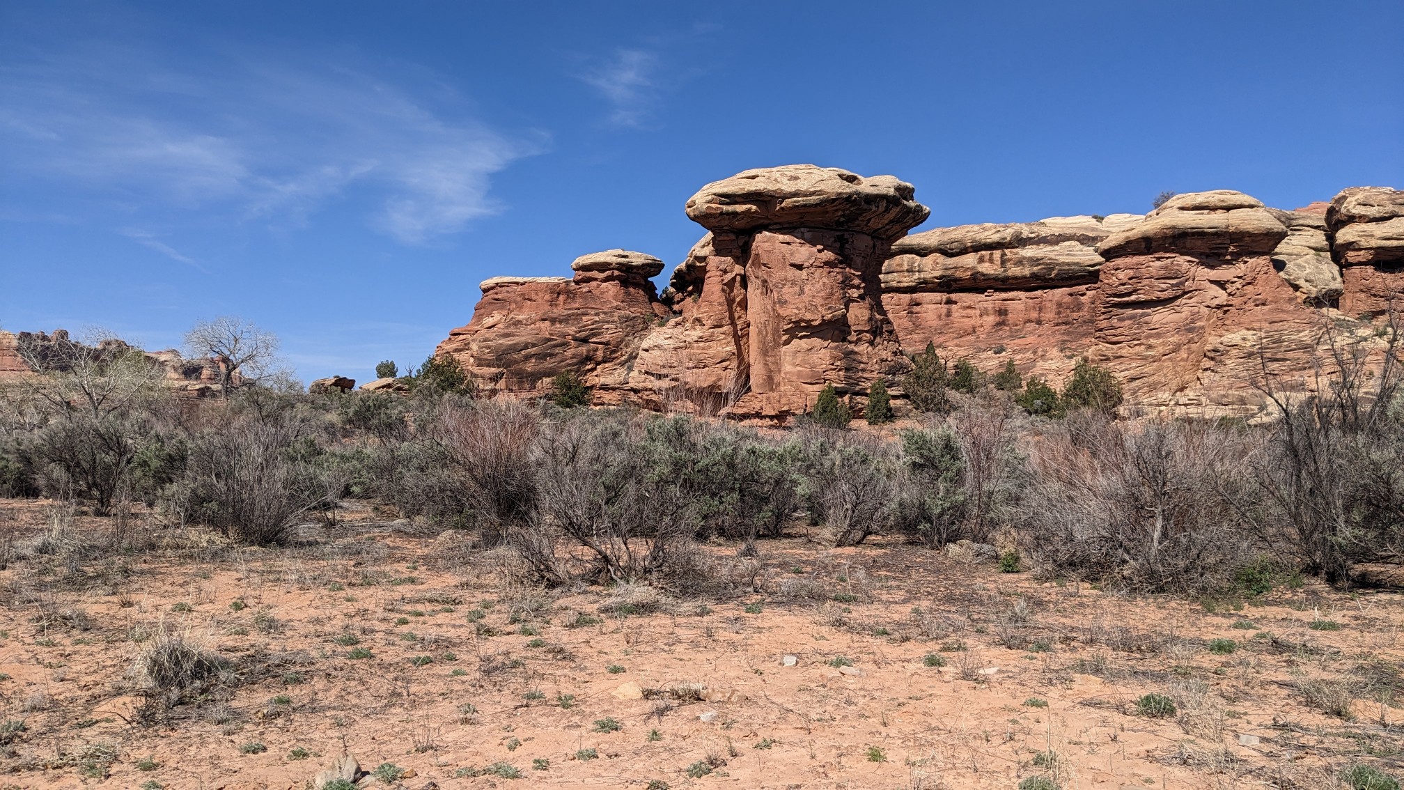
This formation looks like a mushroom!
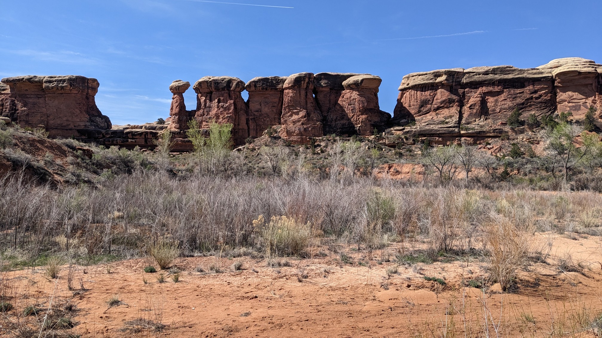
These were cool, they had red bases with white hats.
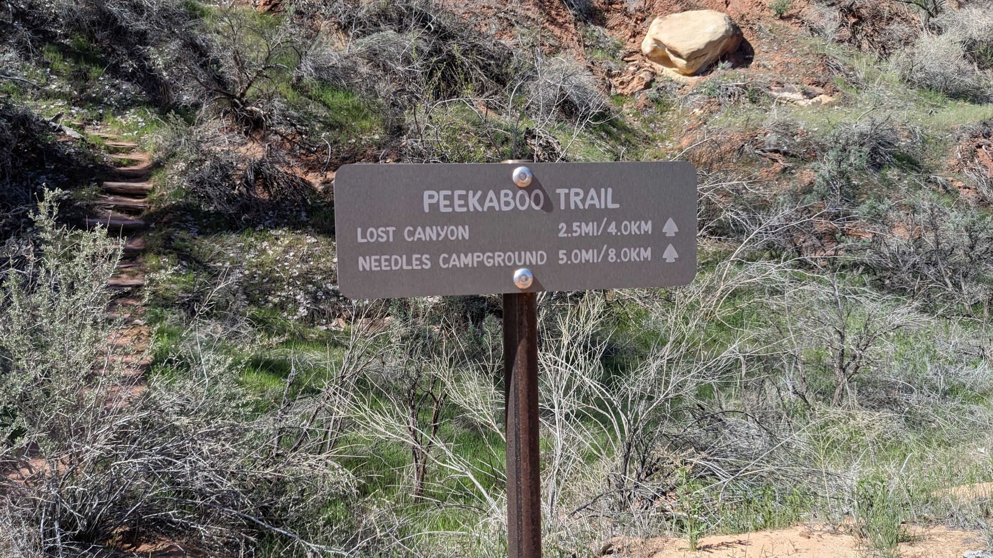
After an hour I turned off on to the peekaboo trail. Love the name.
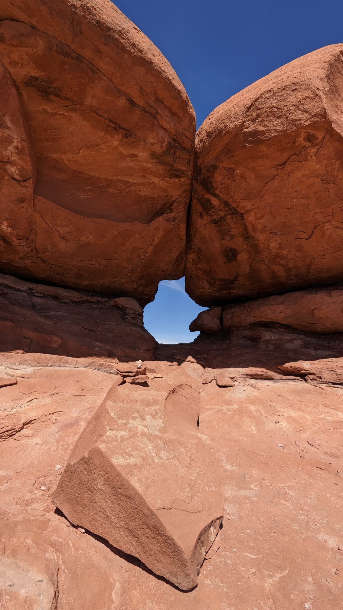
It immediately climbed up out of the valley, and on to a rock shelf. The first thing I saw was a little window….presumably to play peekaboo.
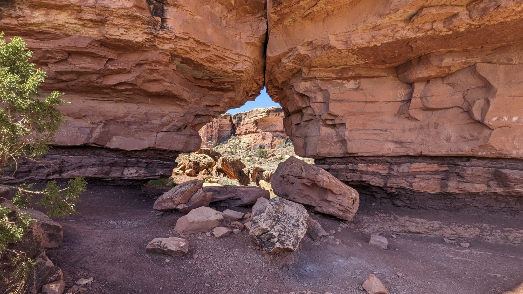
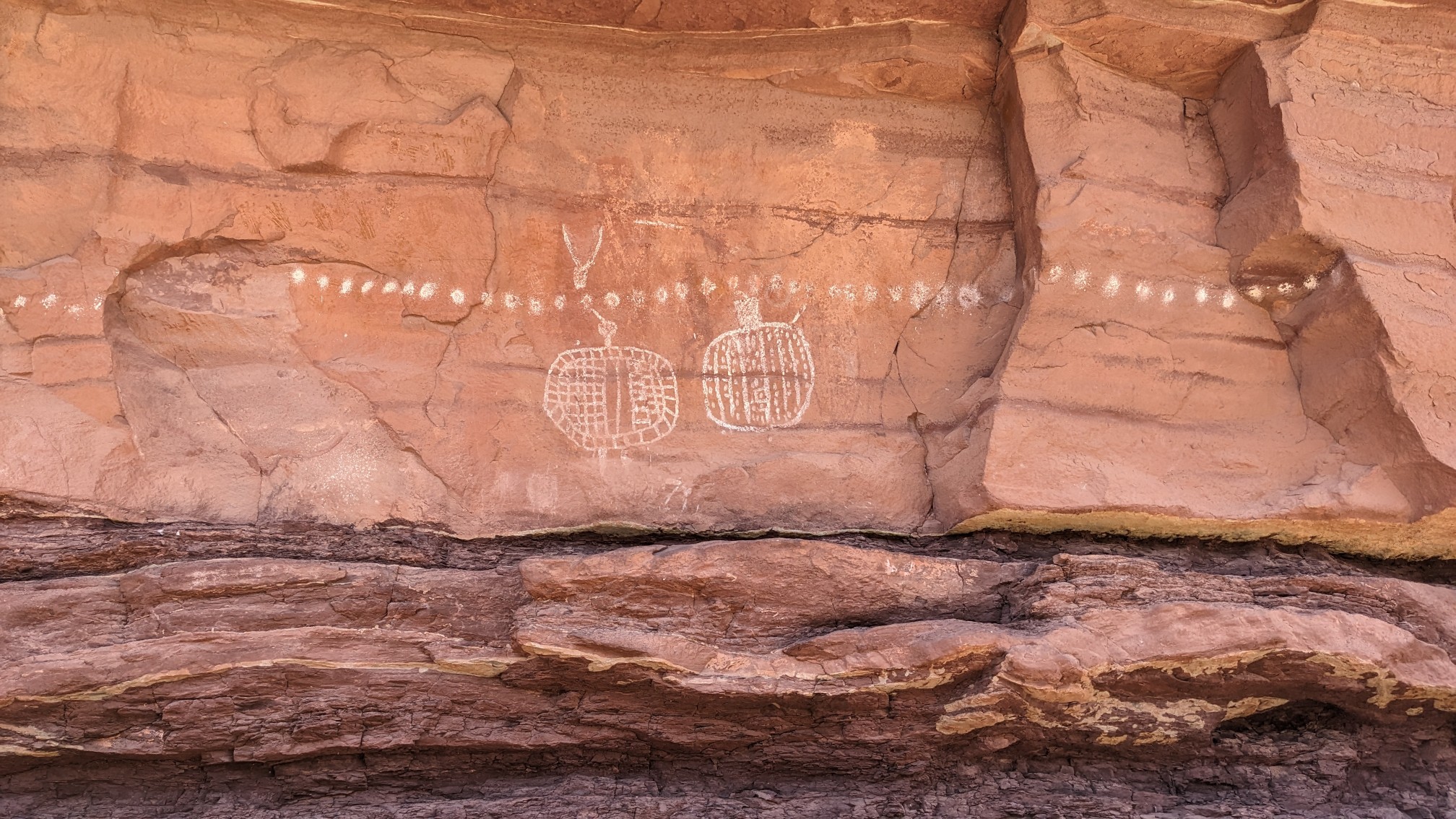
Right next to the window were these ancient pictographs.
The trail continued climbing slowly upward, and I followed cairns until I lost the trail. Or so I thought, it was hiding right behind me in a giant crack.
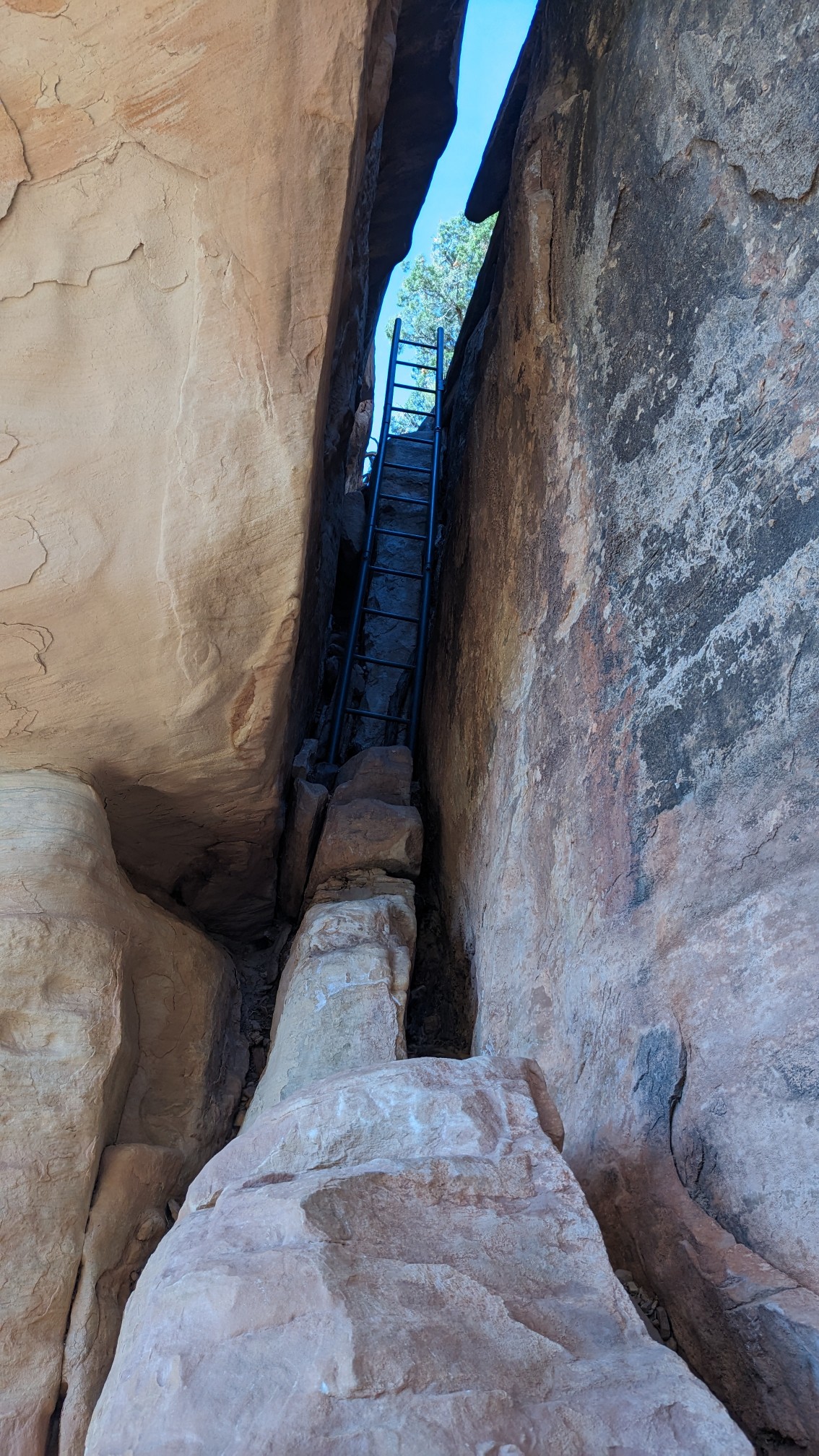
After I climbed the ladder, I was up on the uppermost rock shelf, which was really neat.
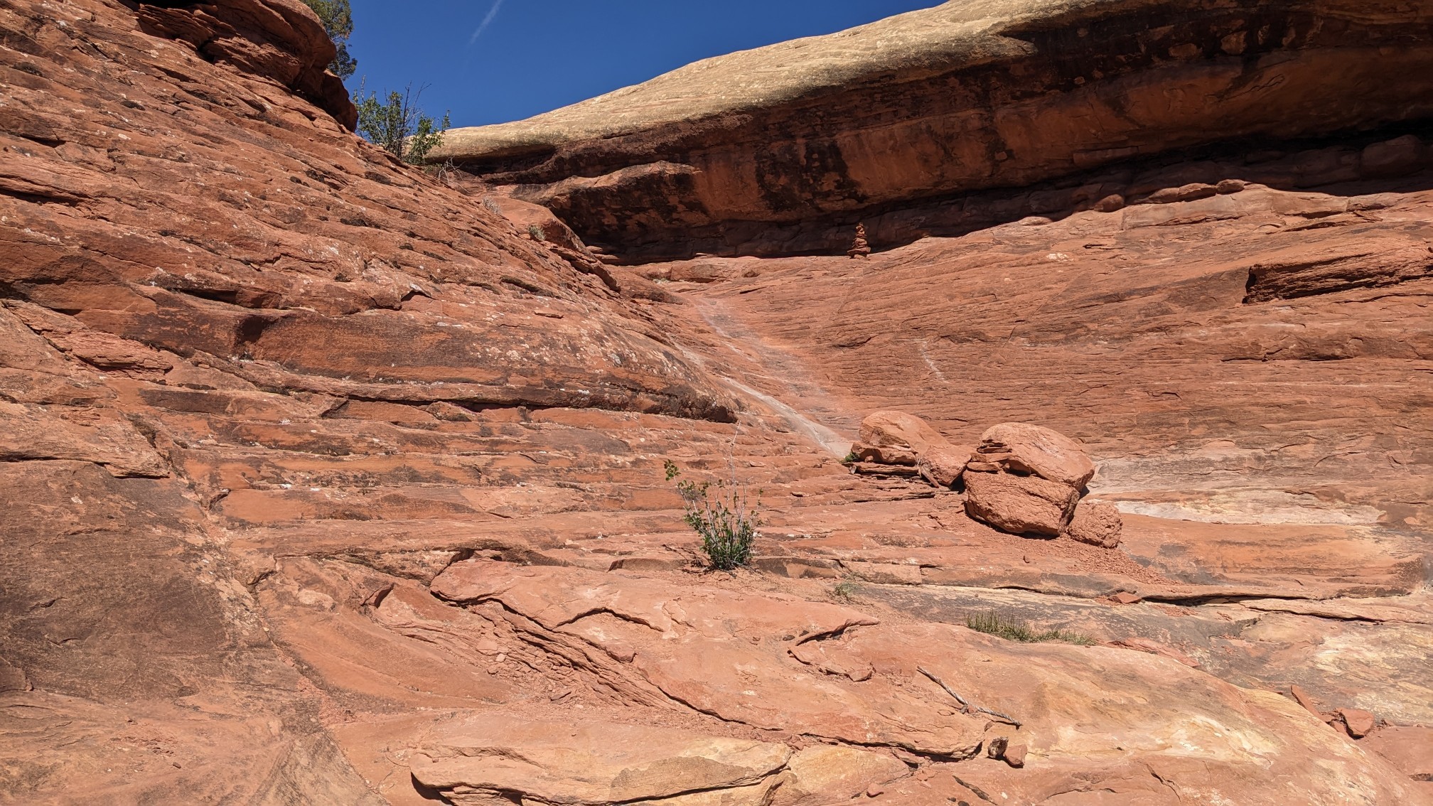
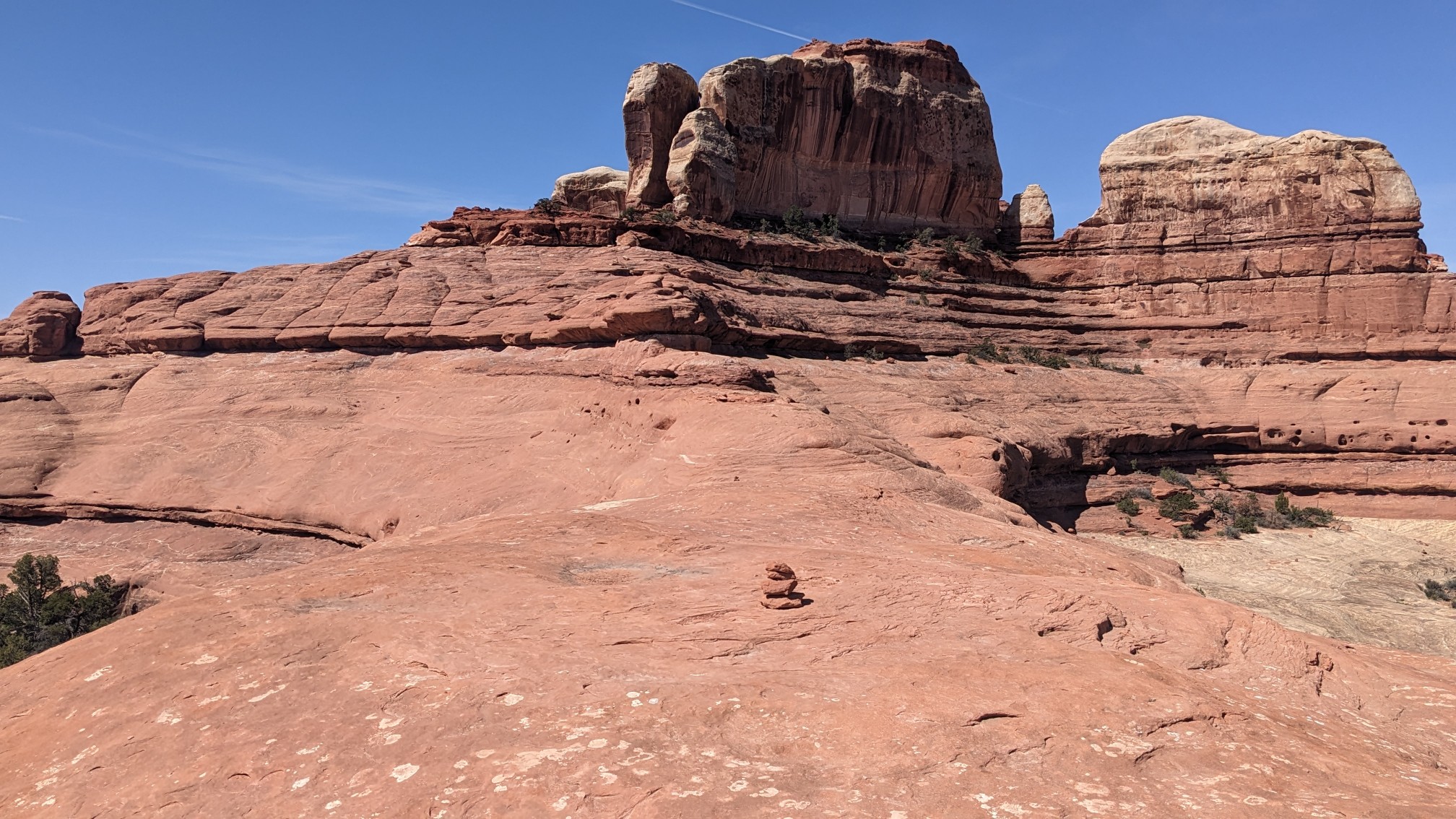
I walked on the slickrock high above the canyons below, for over an hour.
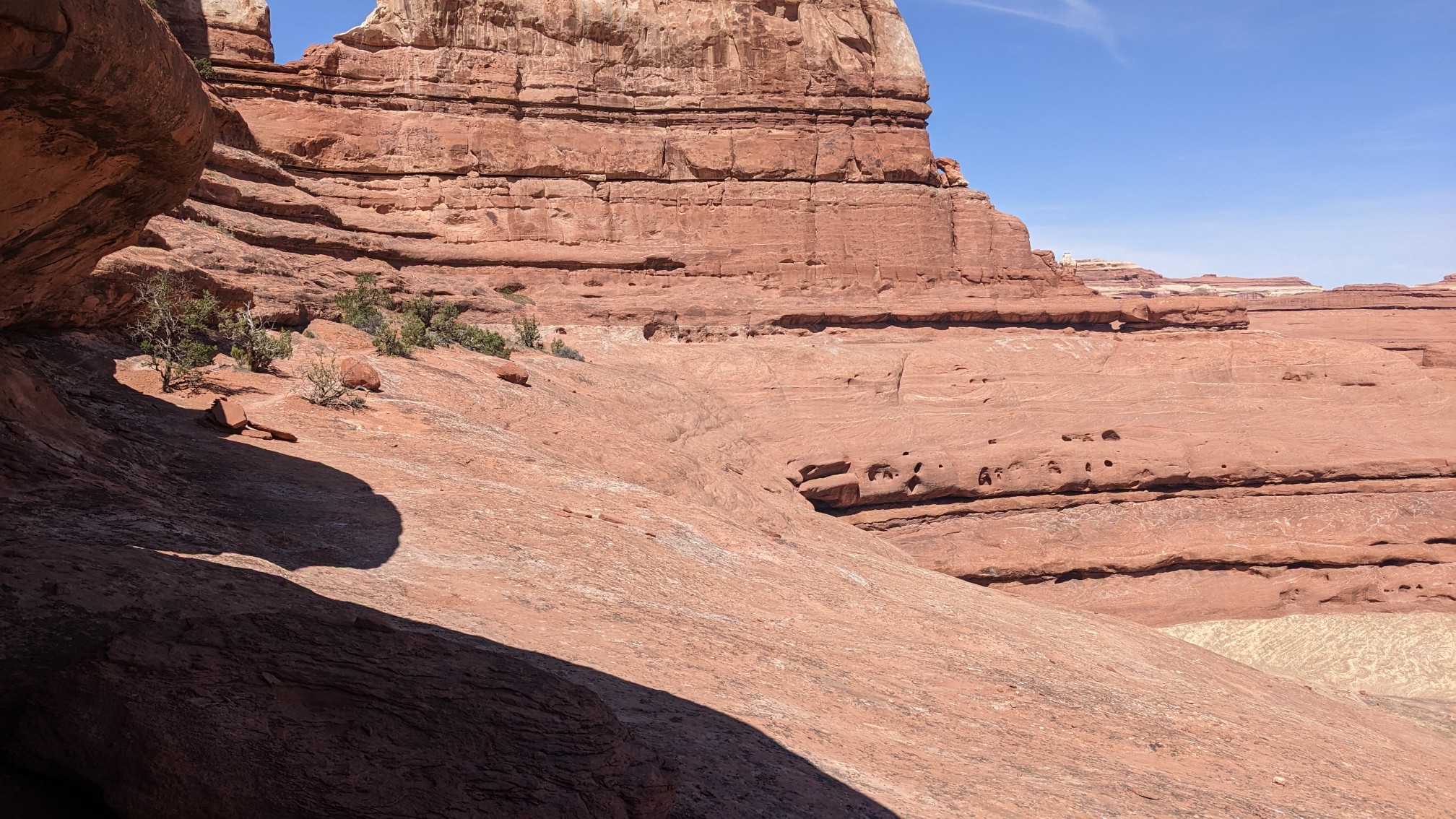
It was a very interesting trail, sometimes it even went through a small hole to cross over to the next valley.
Eventually I descended off the rock shelves and into Lost Canyon.
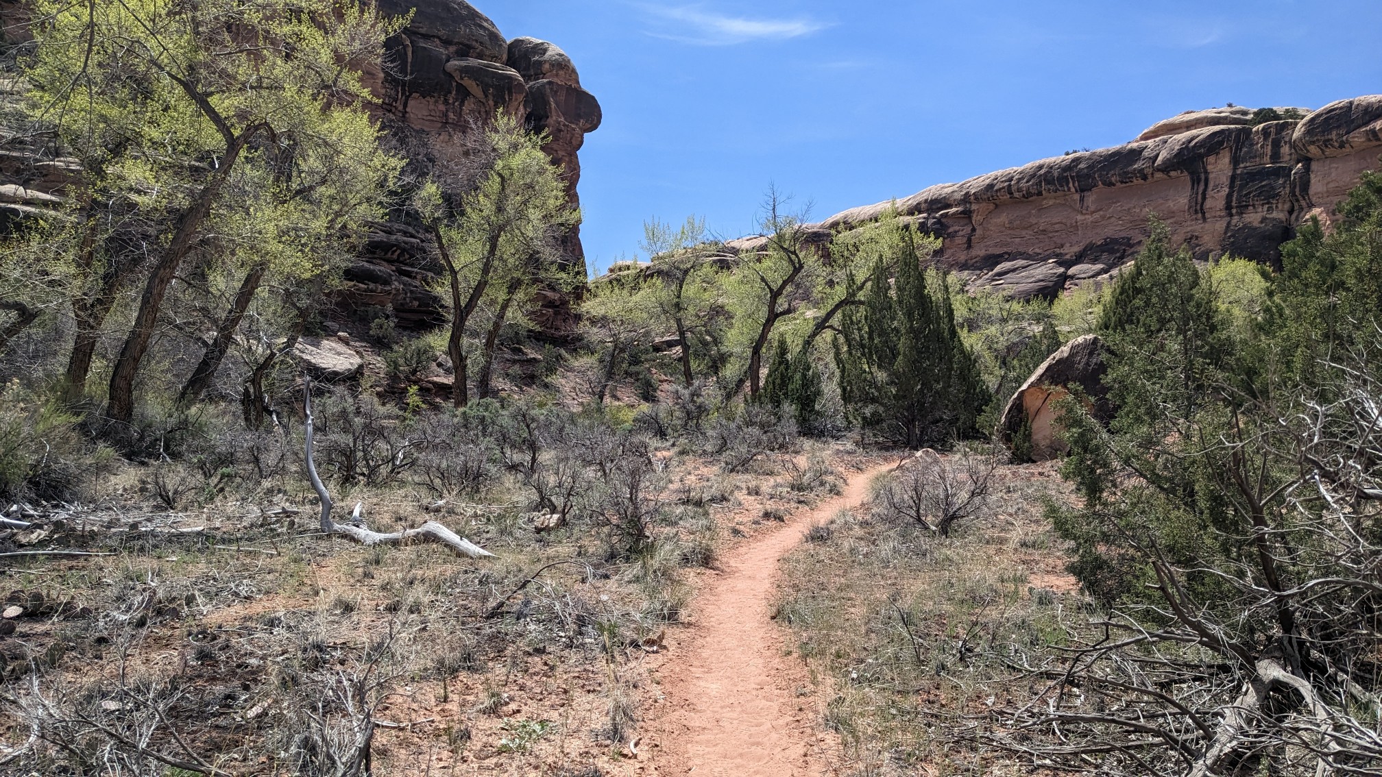
I followed Lost Canyon uphill until it ended, I climbed up and over another rock shelf, and then dropped into Wooden Shoe Canyon (the sign still had the old name).
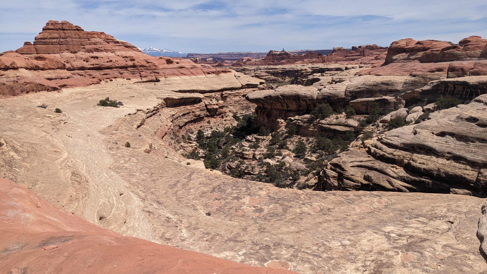
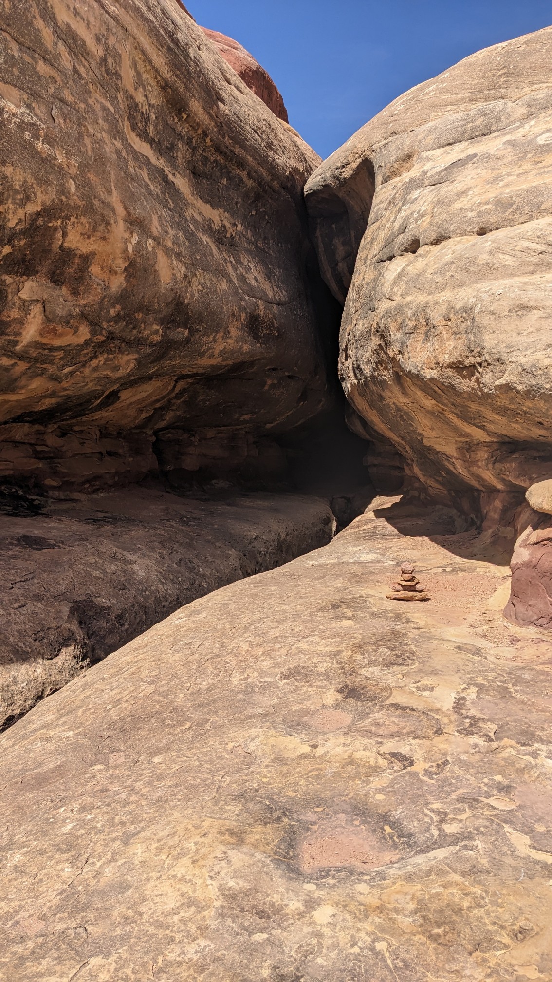
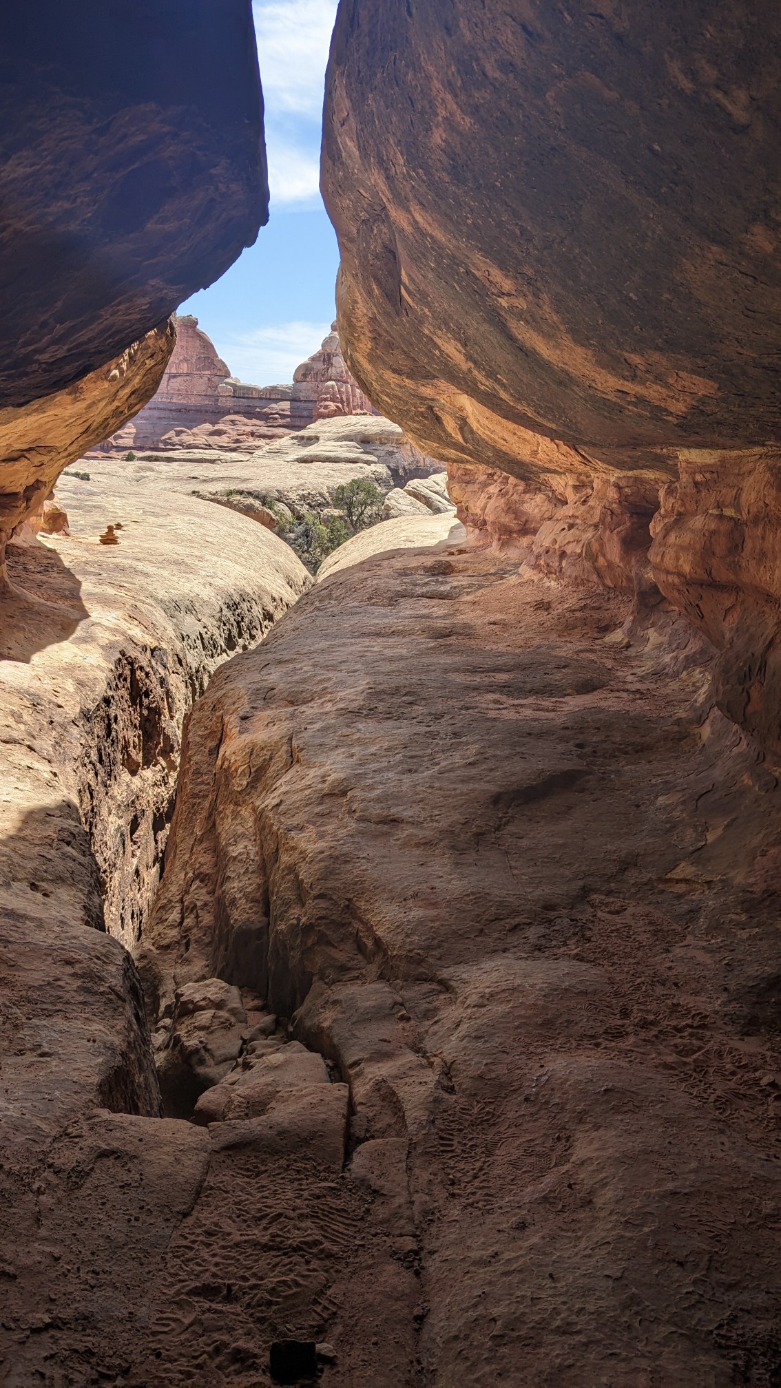
I had to climb up and over another pass, to get over to Elephant Canyon. Along the way I had to hike through a tunnel between two enormous boulders.
I descended into elephant Canyon, and filled up my water. As soon as I started climbing back out of elephant Canyon, I saw heaps of Needles formations.
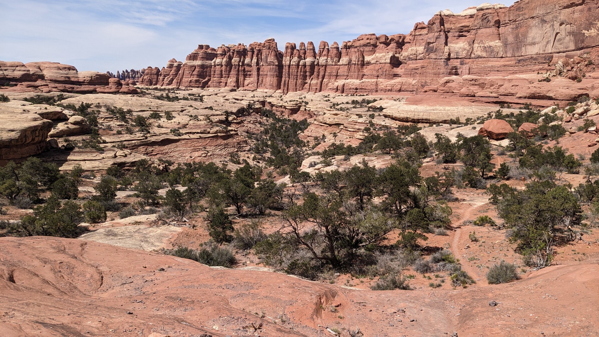
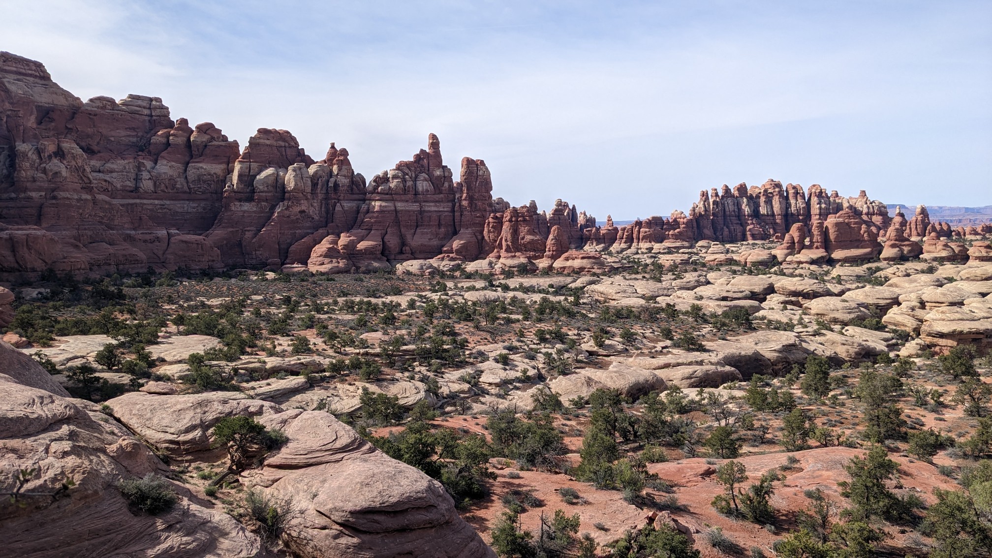
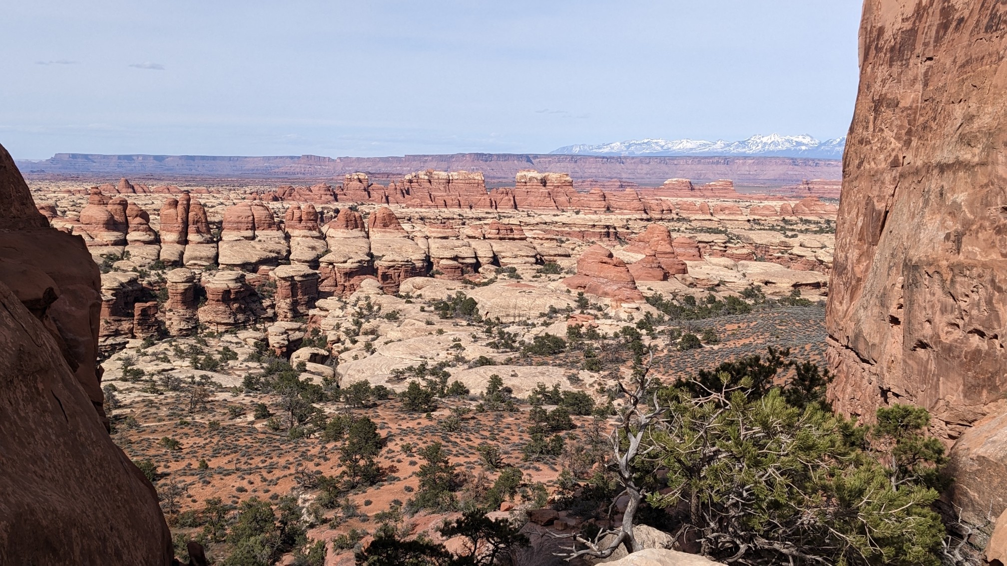
At the top of the climb, I turned around and saw behind me the snow-capped La Sal mountains in the distance.
I crossed a high plateau known as Chesler Park.
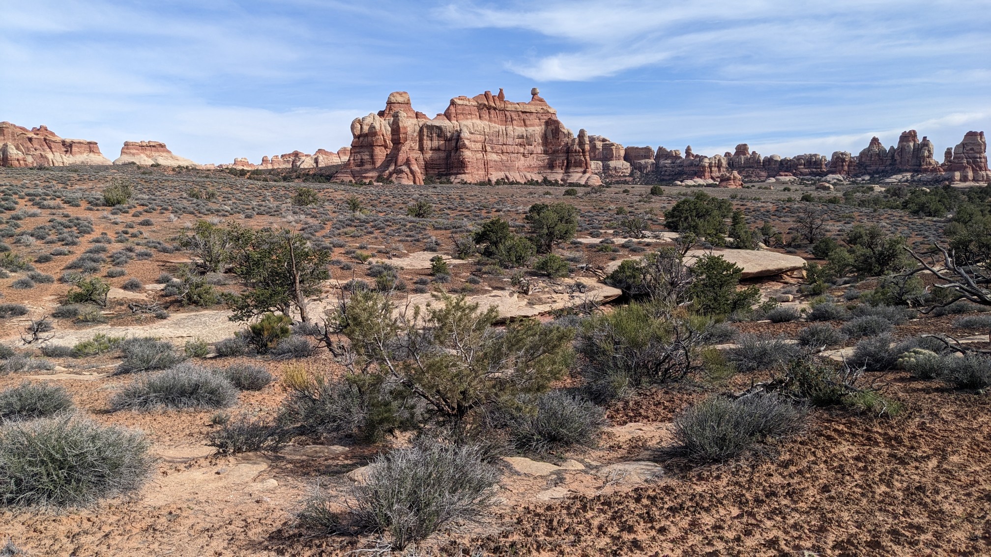
I turned on the trail toward Devils kitchen.
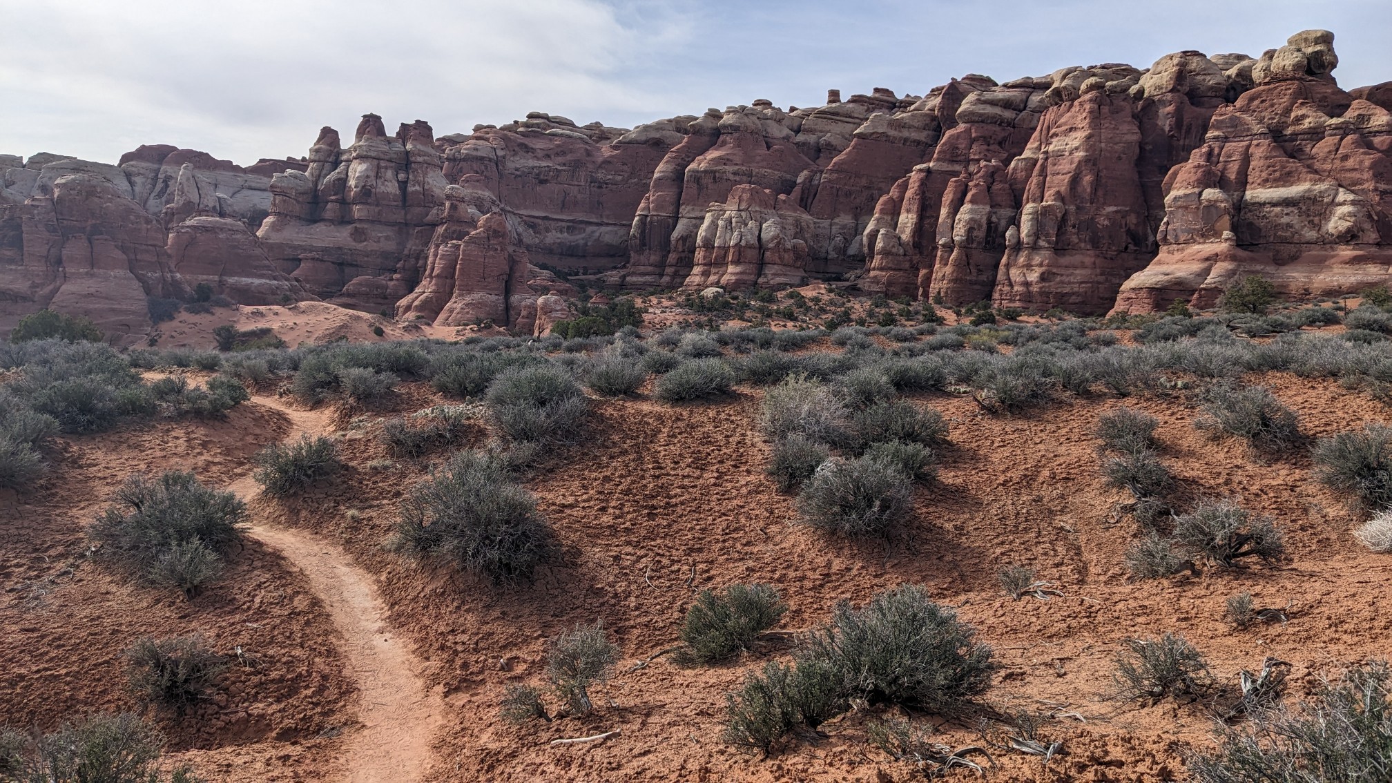
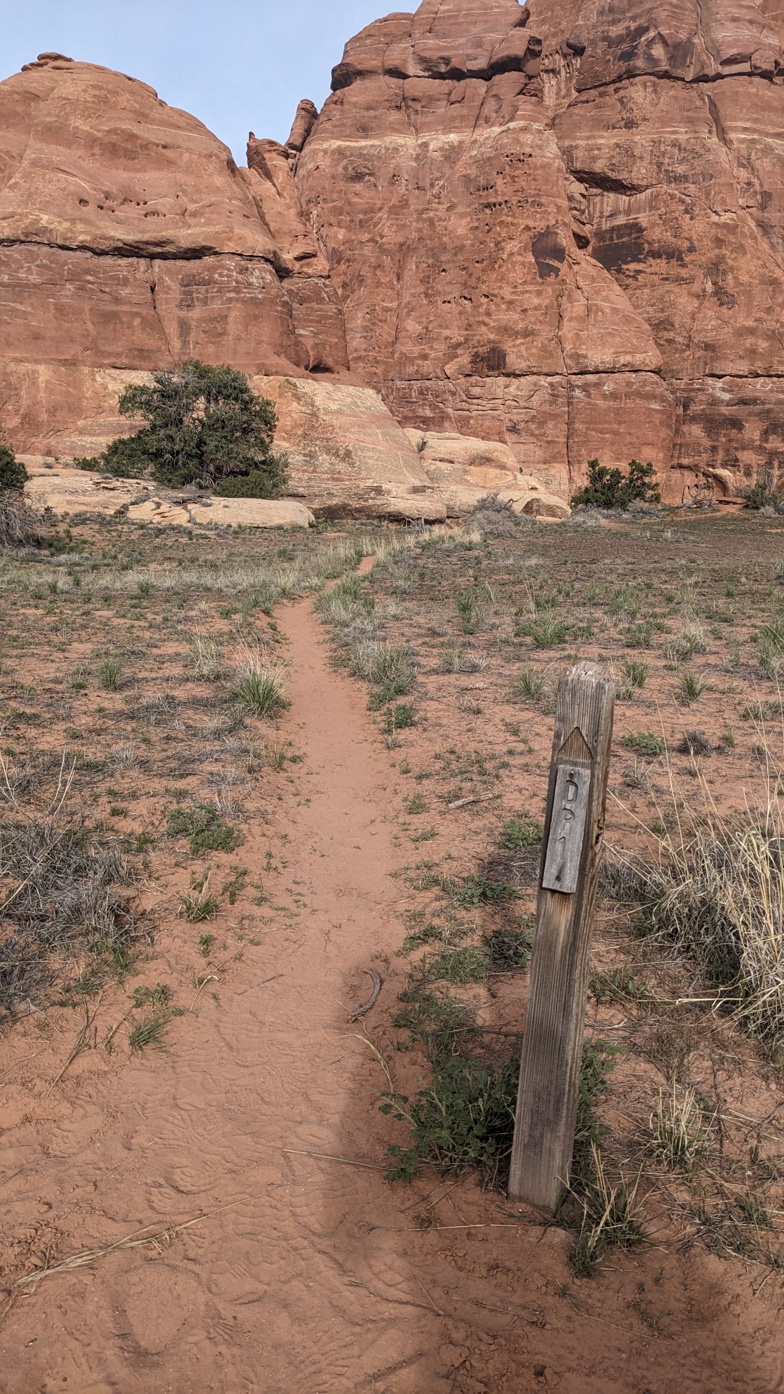
My assigned campsite was not in an ideal location, since it forced me to hike a mile off my route. But at least the scenery was nice. Finally at 5:30pm I arrived at “DP1” (Devils Pocket #1), my home Sweet home for the night.
Tomorrow I have just a couple miles in Canyonlands NP, before I rejoin the official Hayduke route. Unfortunately the official Hayduke route avoids the most scenic areas of the park, and it also avoids the only resupply option. So I think most hikers will do some sort of alternate route through this area like I did.
Very scenic!