Thursday May 18, 23.1mi/37.2km
Tropic town (alt 12.3/6300ft) to Under-the-Rim-Trail @ Dixie NF border (alt 33.2/7760ft) (UT) + 2.2mi GPS correction
We left the Red Ledges inn at 8am and began our 3mile roadwalk. It was a perfect temperature for hiking.
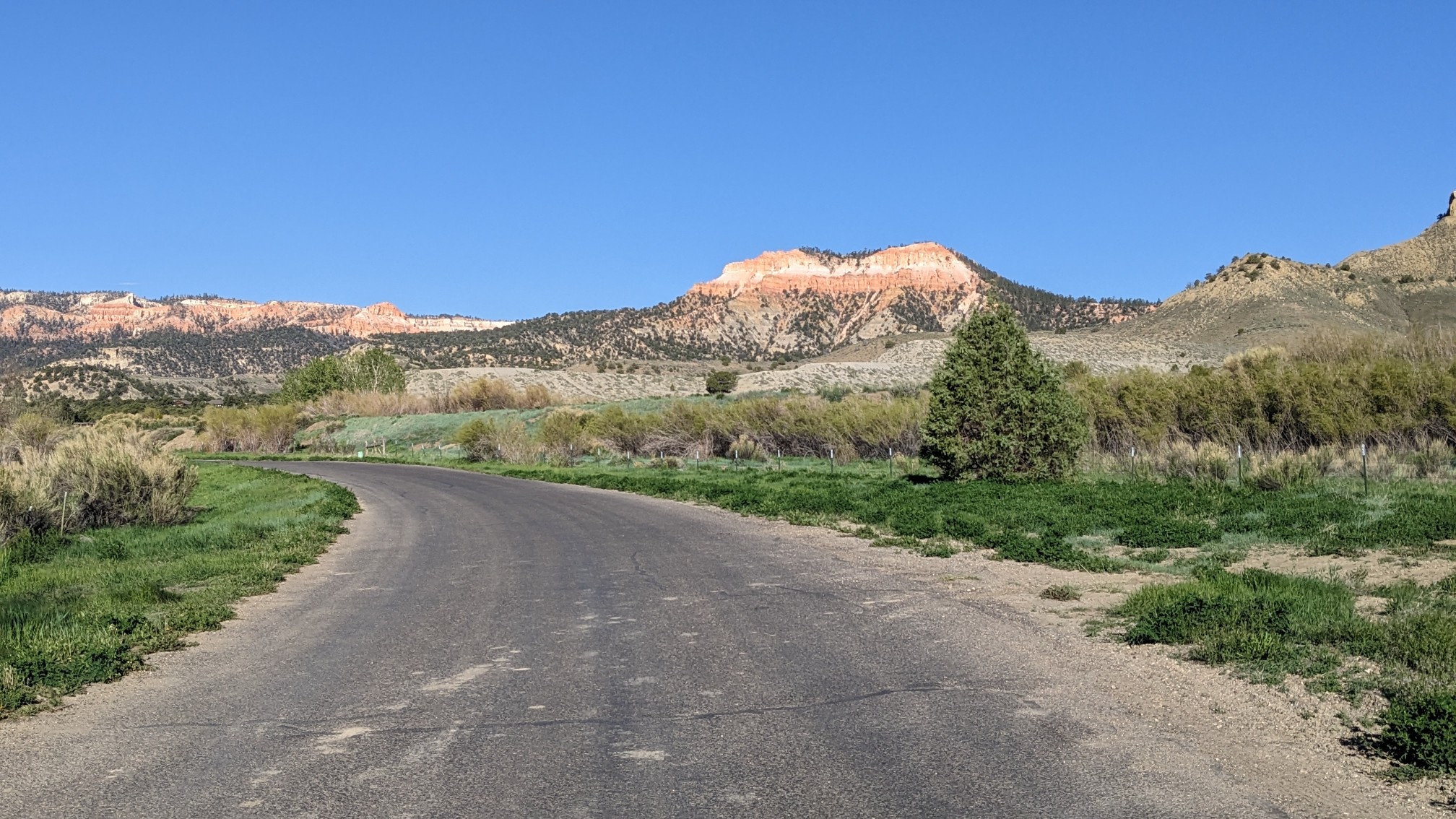
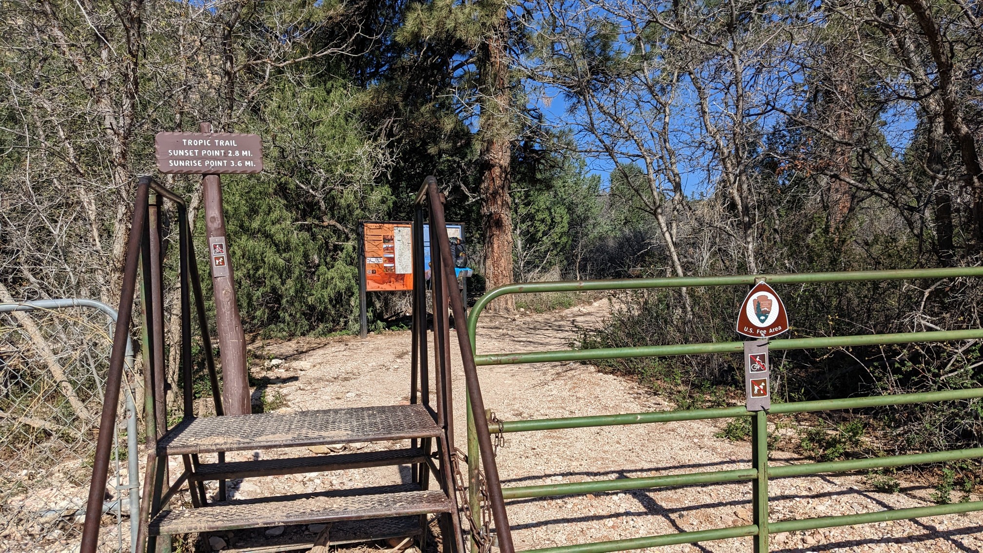
After an hour we arrived at the trailhead for the Tropic Trail, we entered Bryce National Park!
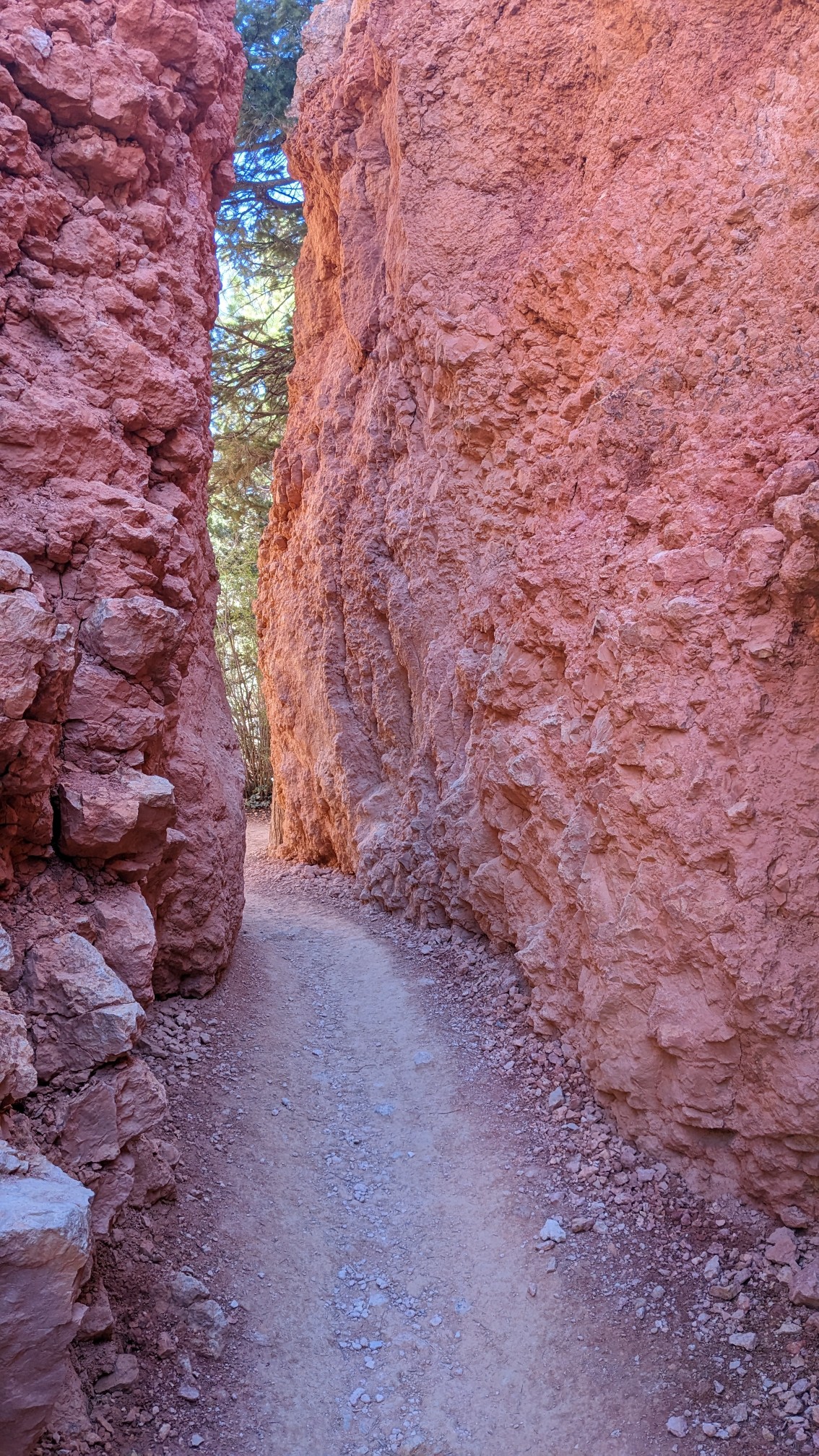
At first there were no people, but that quickly changed as soon as I got to the Red Rock and hoodoos.
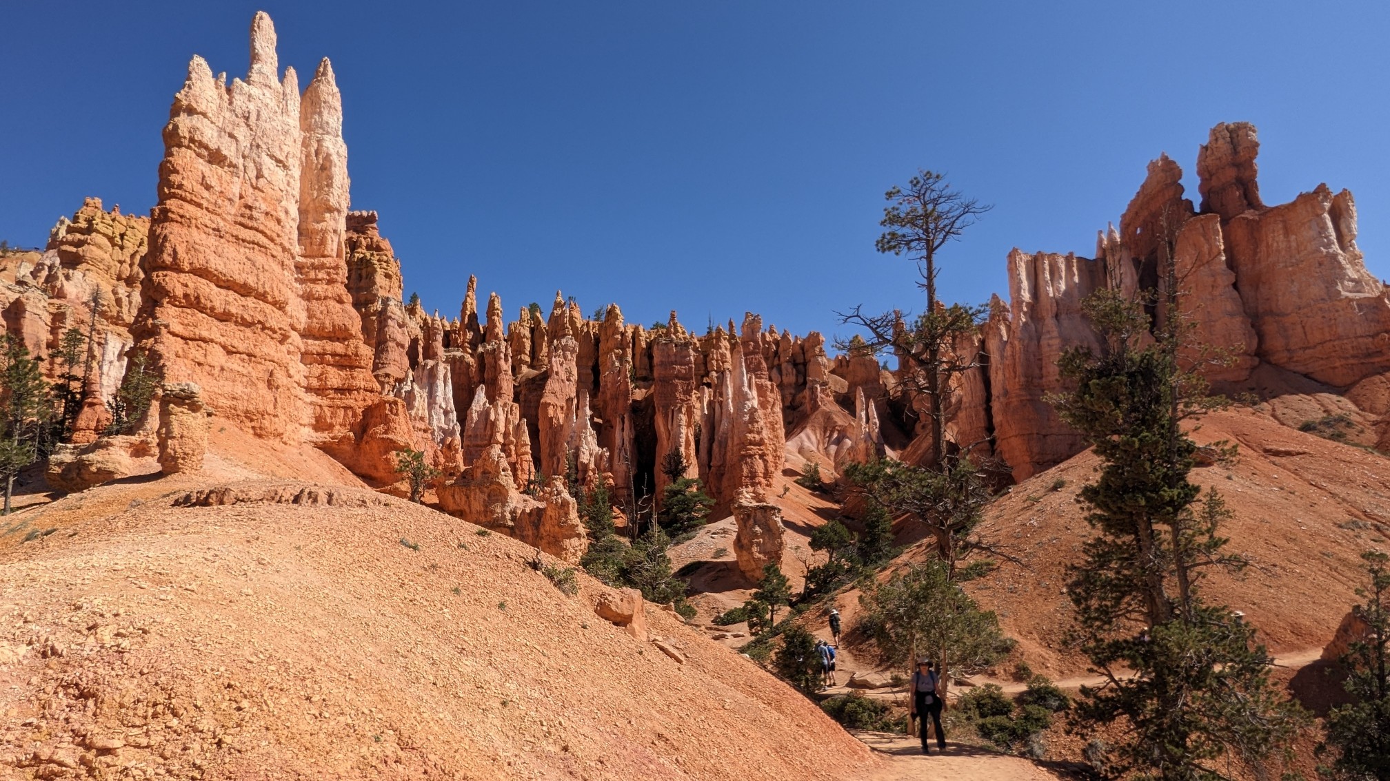
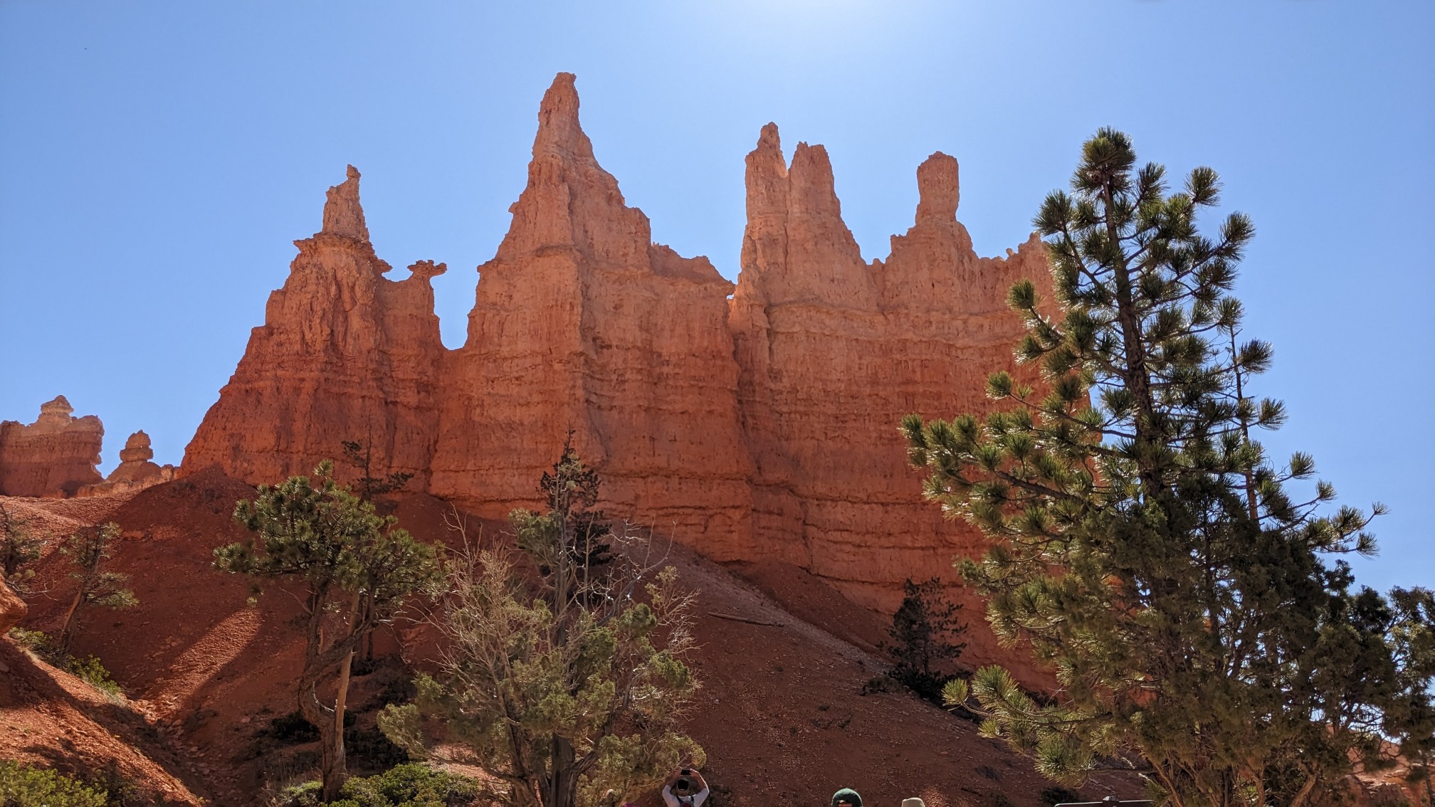
Apparently this is supposed to look like a queen.
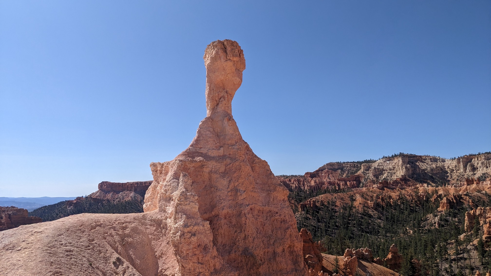
More cool hoodoo formations.
As I climbed higher towards the rim, I started to get a sense of the size of the park.
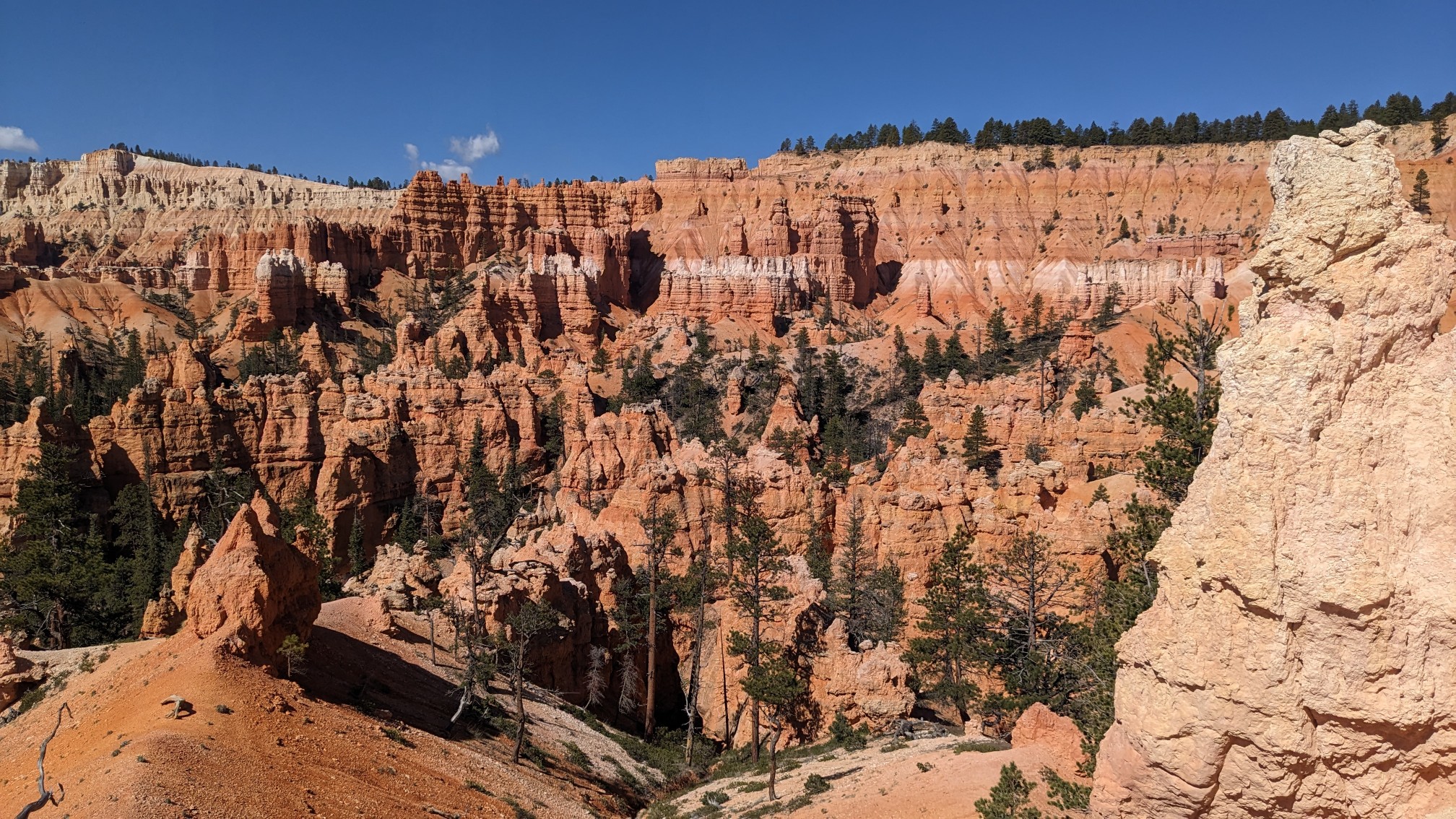
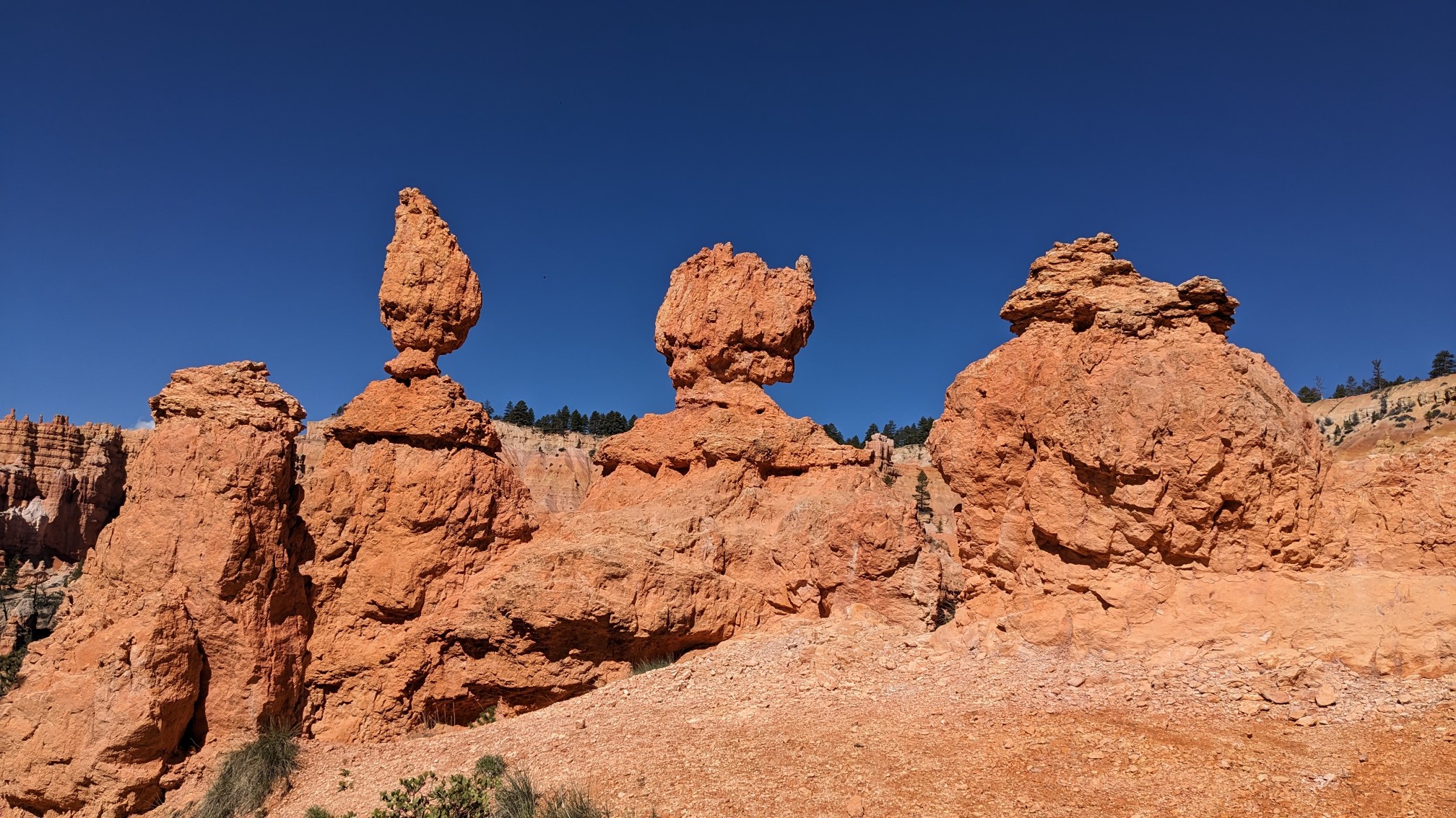
I thought these hoodoos were like the three stooges.
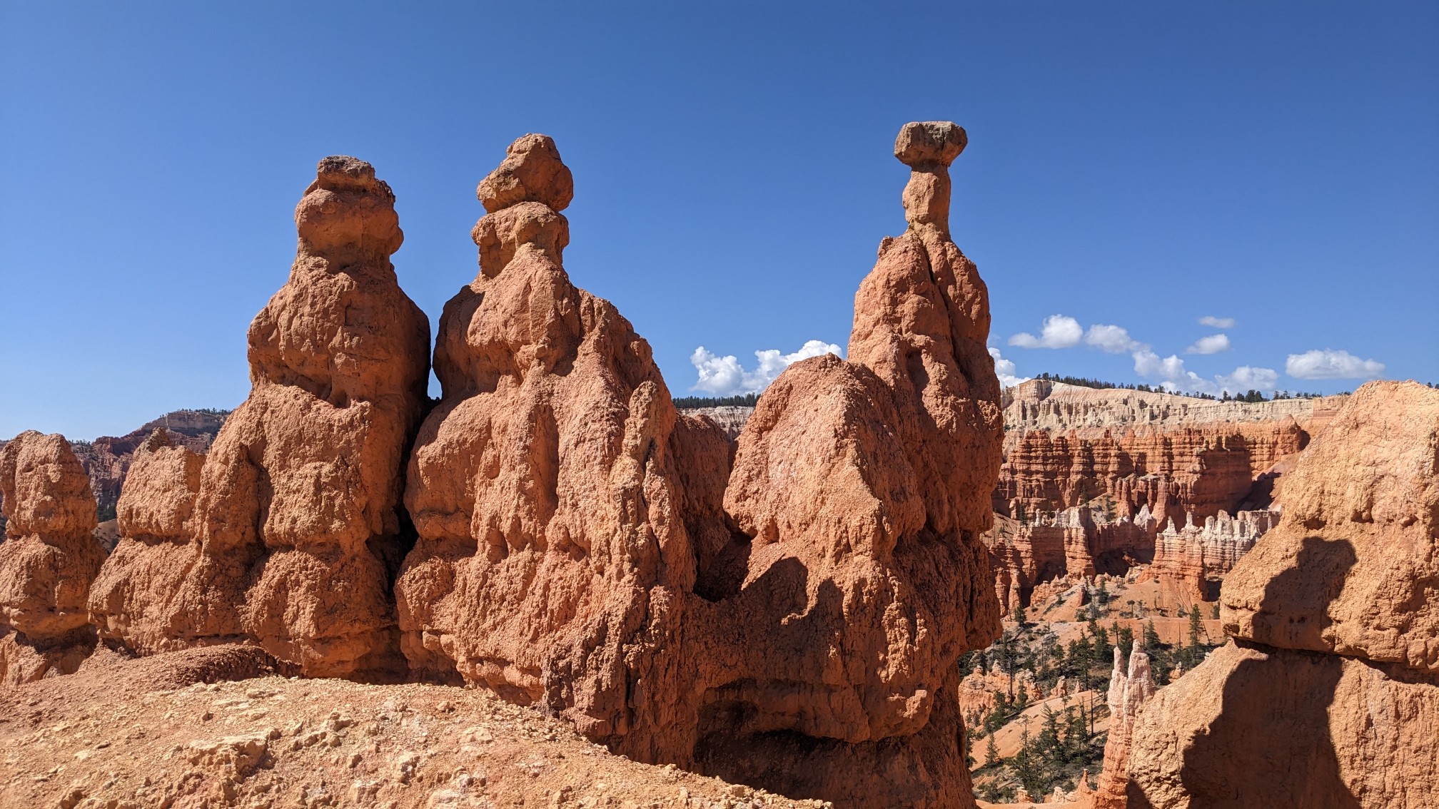
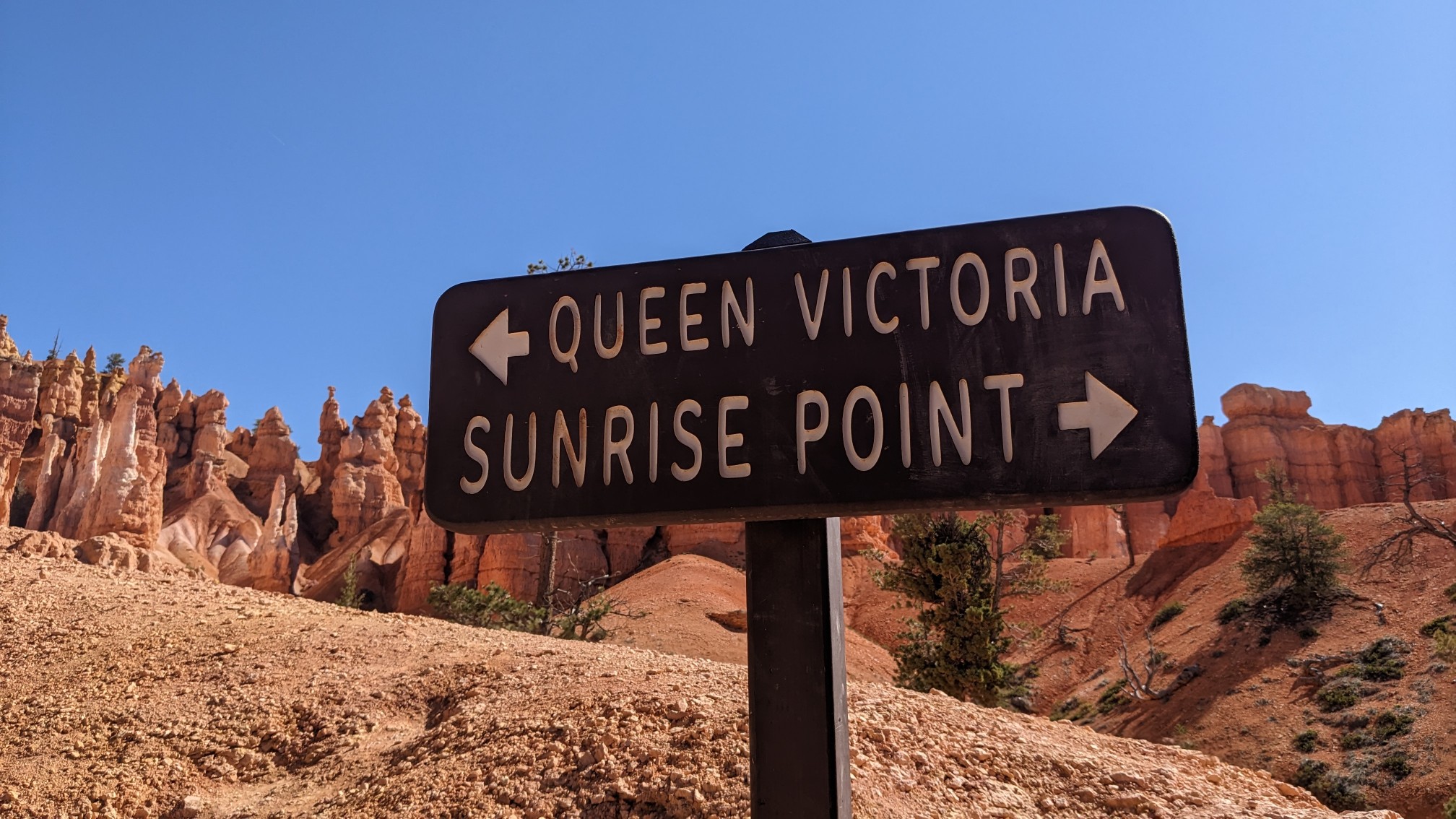
I finished the climb and got to the rim, the view from Sunrise point was great!
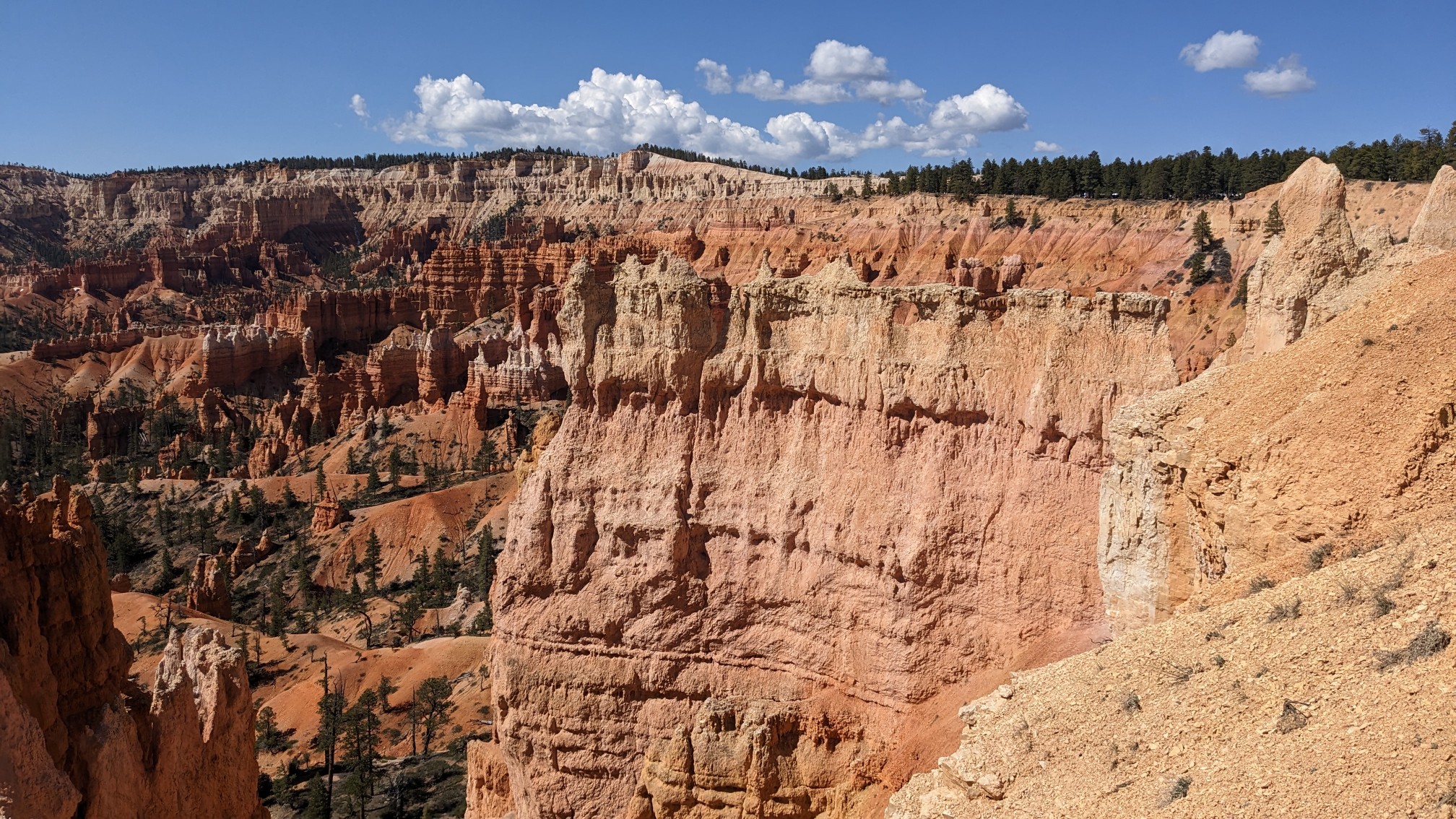
15 minutes later we were at Sunset point.
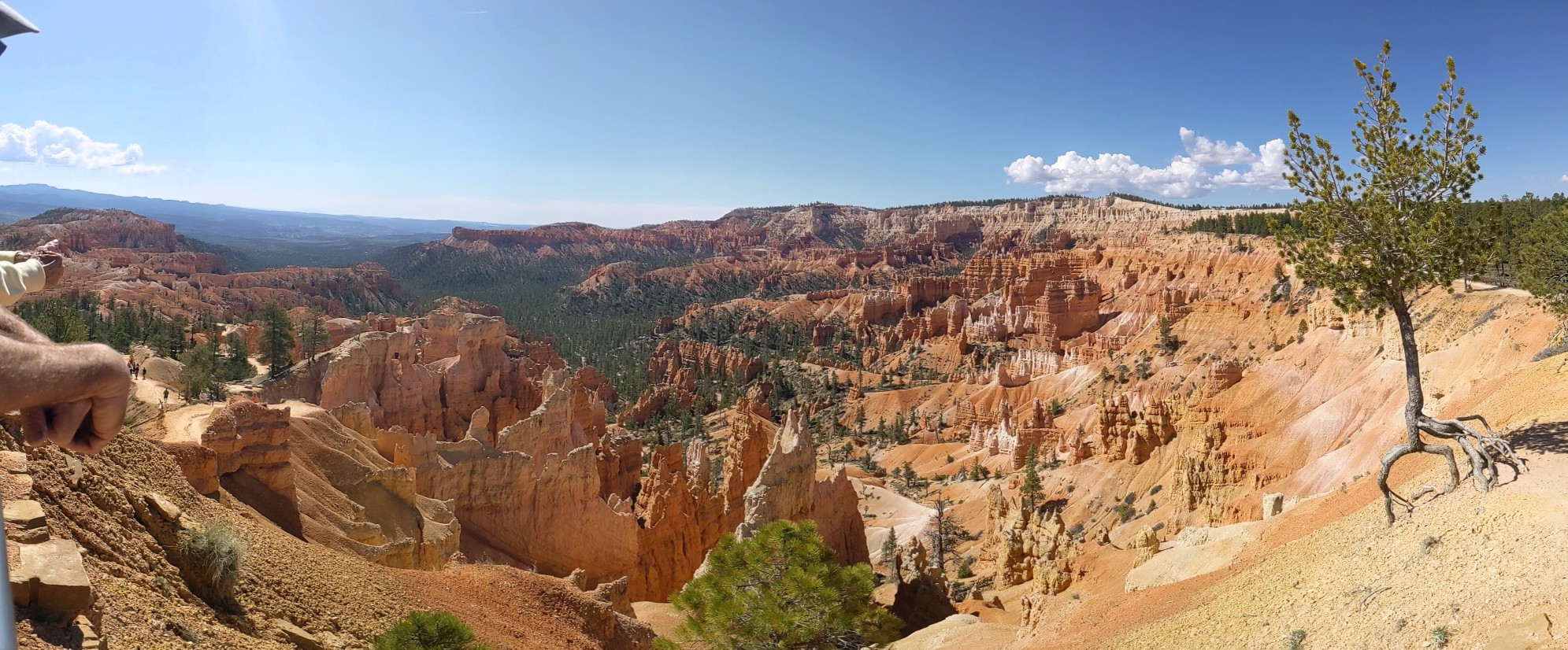
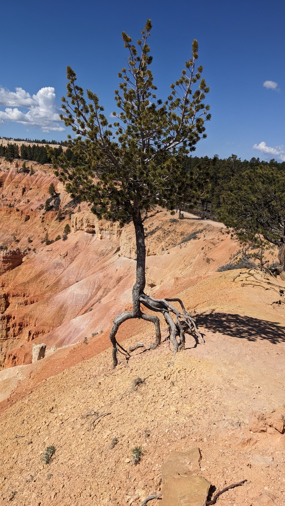
This little tree was stubbornly hanging on, haha.
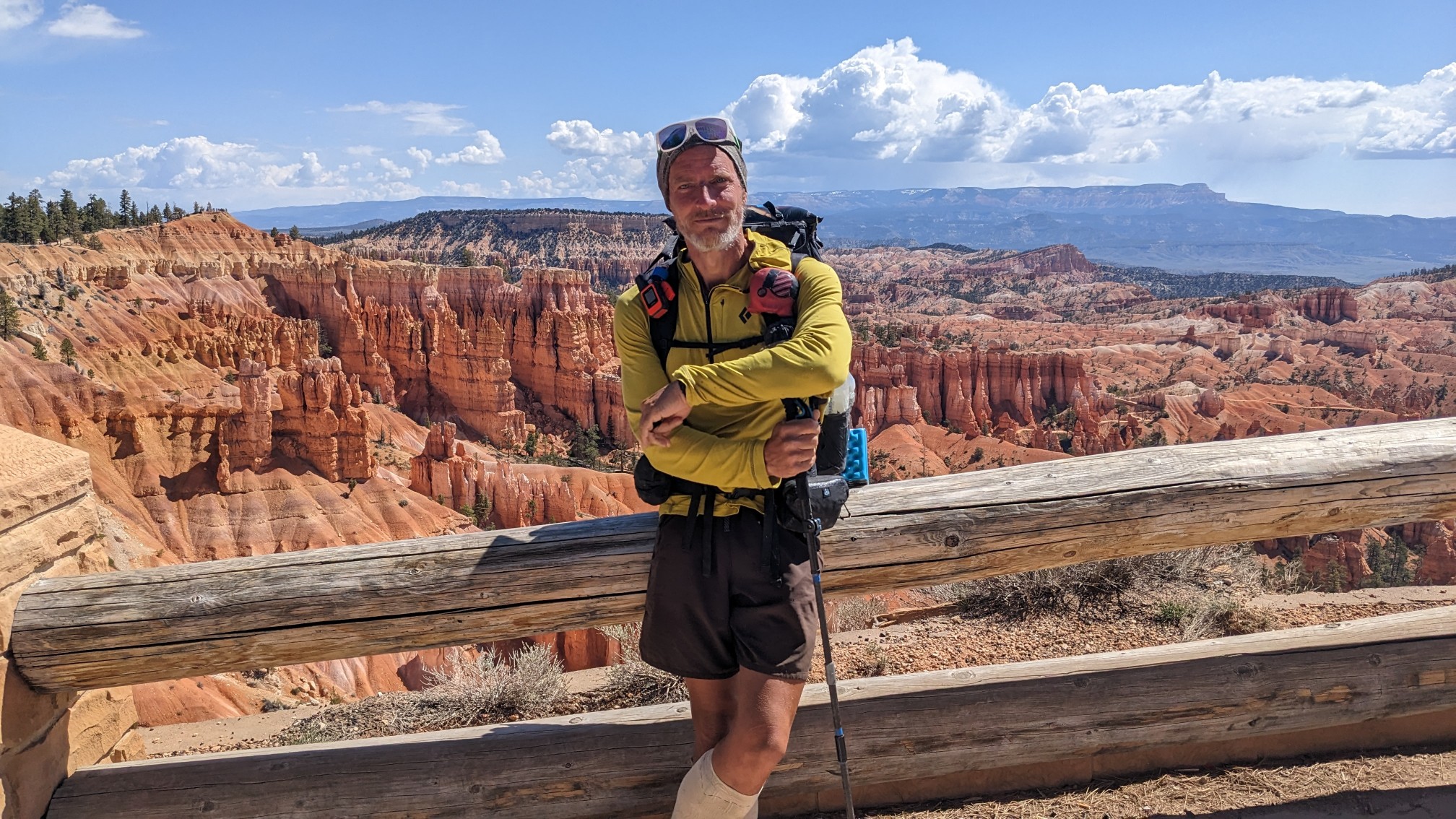
Shadow trying to look like one of the hundreds of tourists.
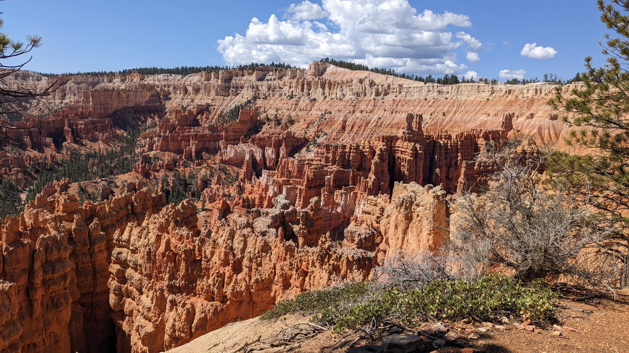
There were so many hoodoos!
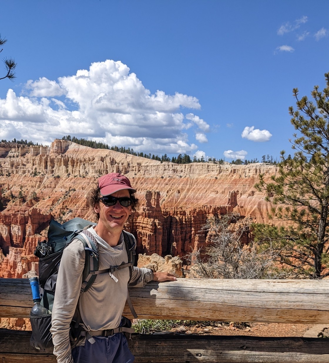
I had to get my own photo.
I think this was taken from a spot called Inspiration point.
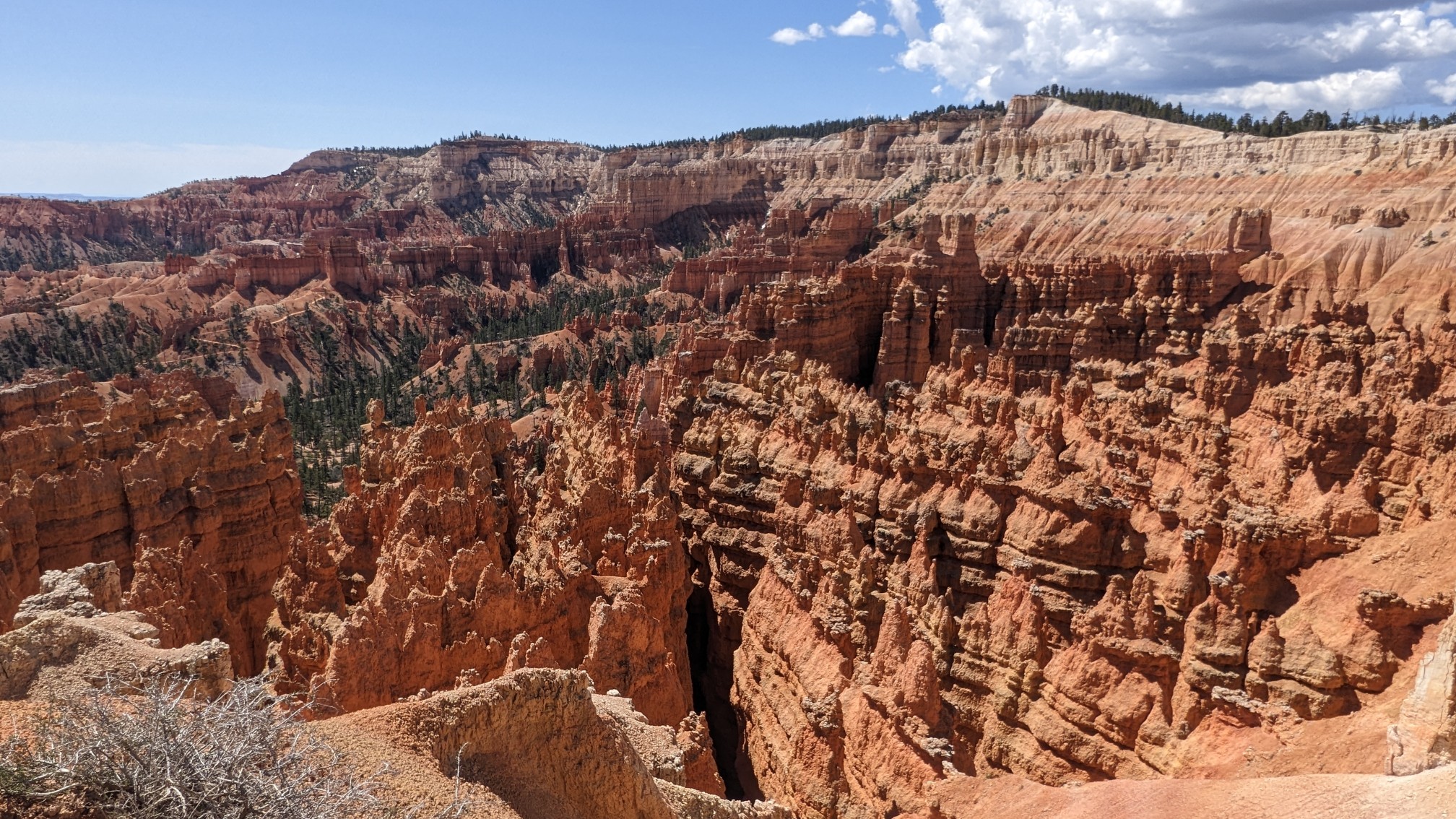
More gratuitous hoodoo photos.
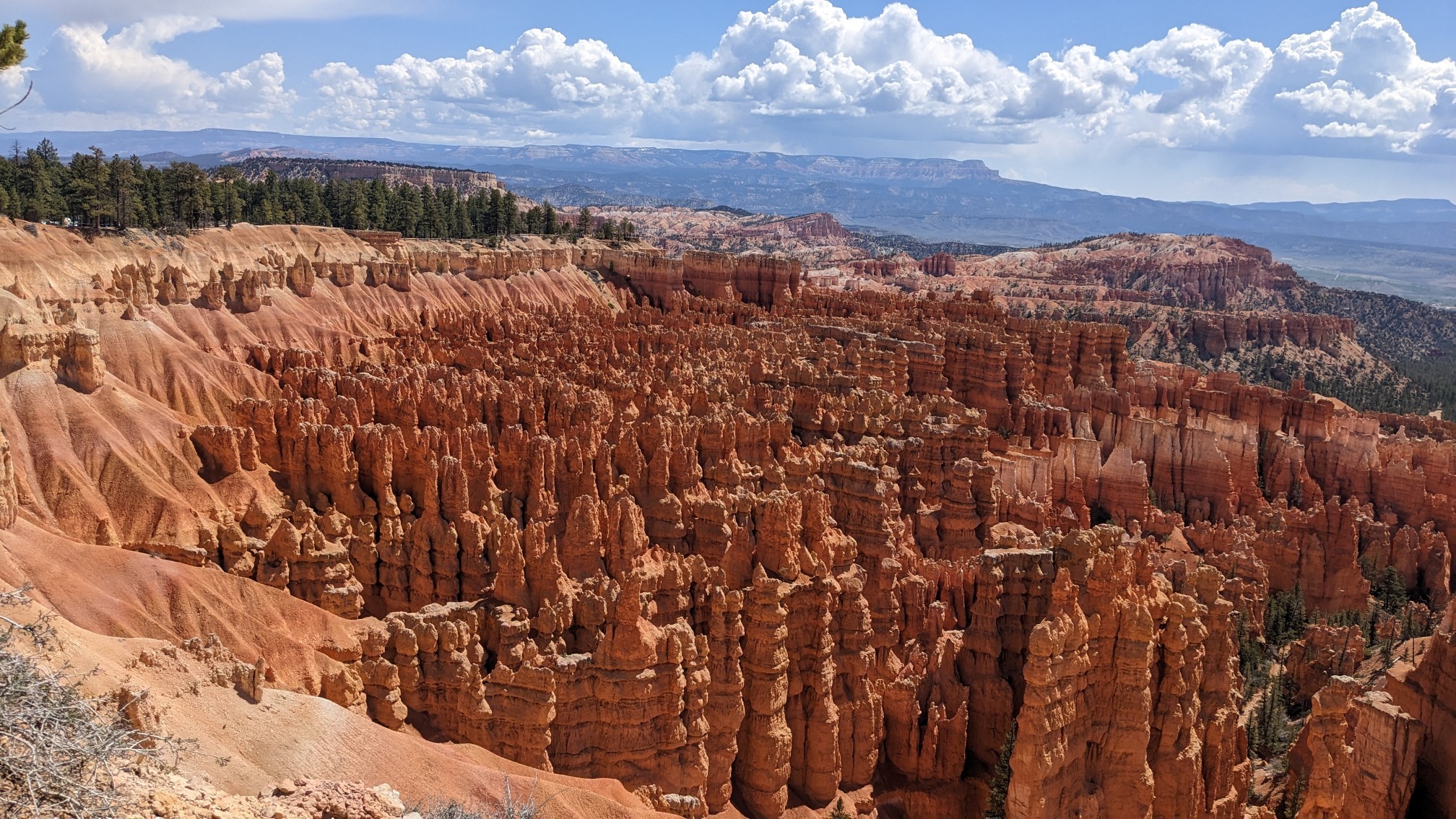
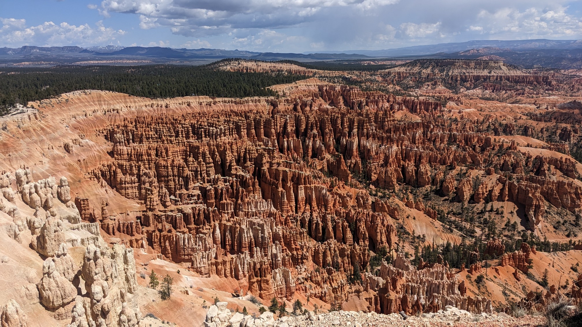
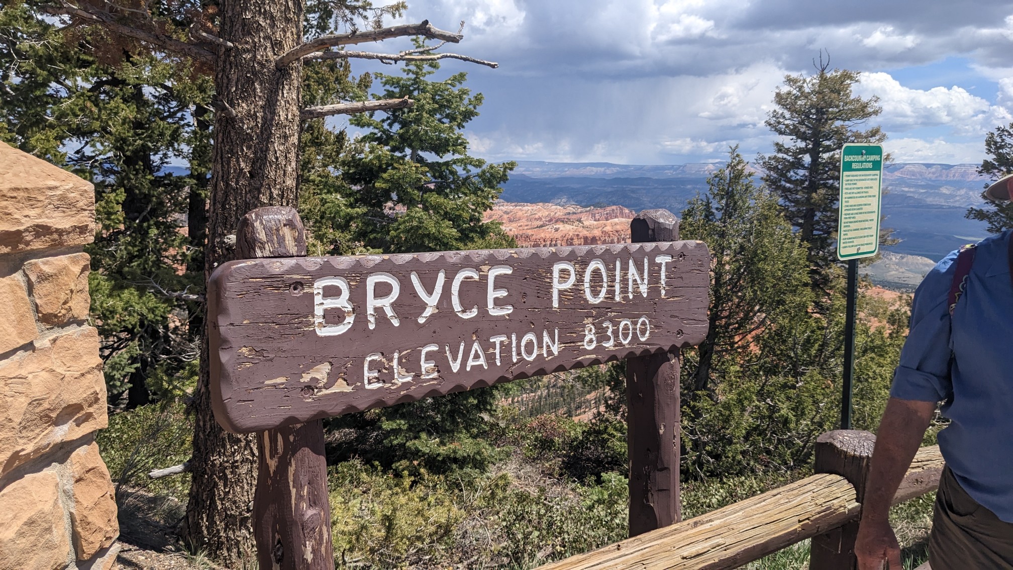
We hiked on a nice trail over to Bryce point.
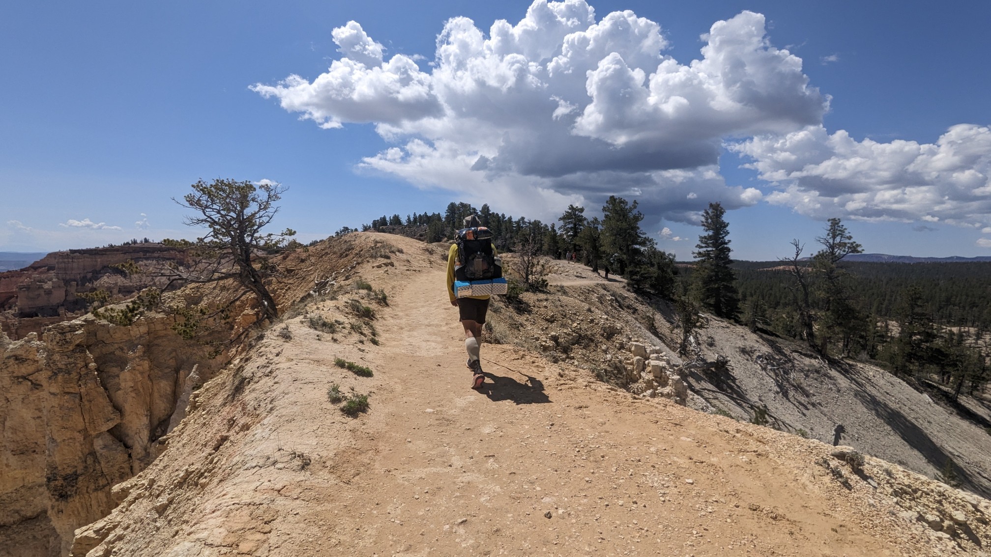
The sign says we were at 8300 feet (2500m) elevation!
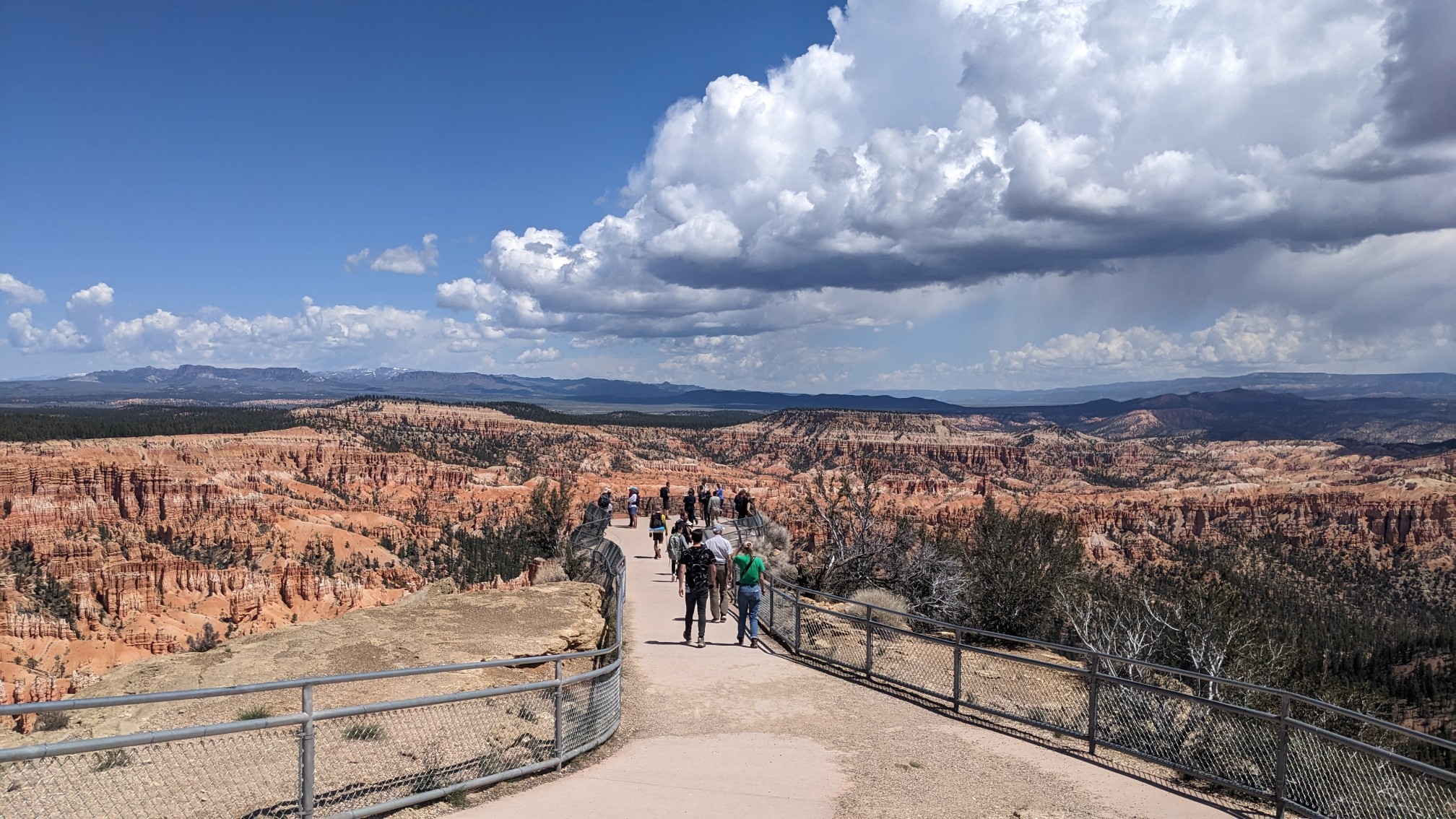
The little lookout point was swarming with people, and I thought the clouds gave the valley an interesting look.
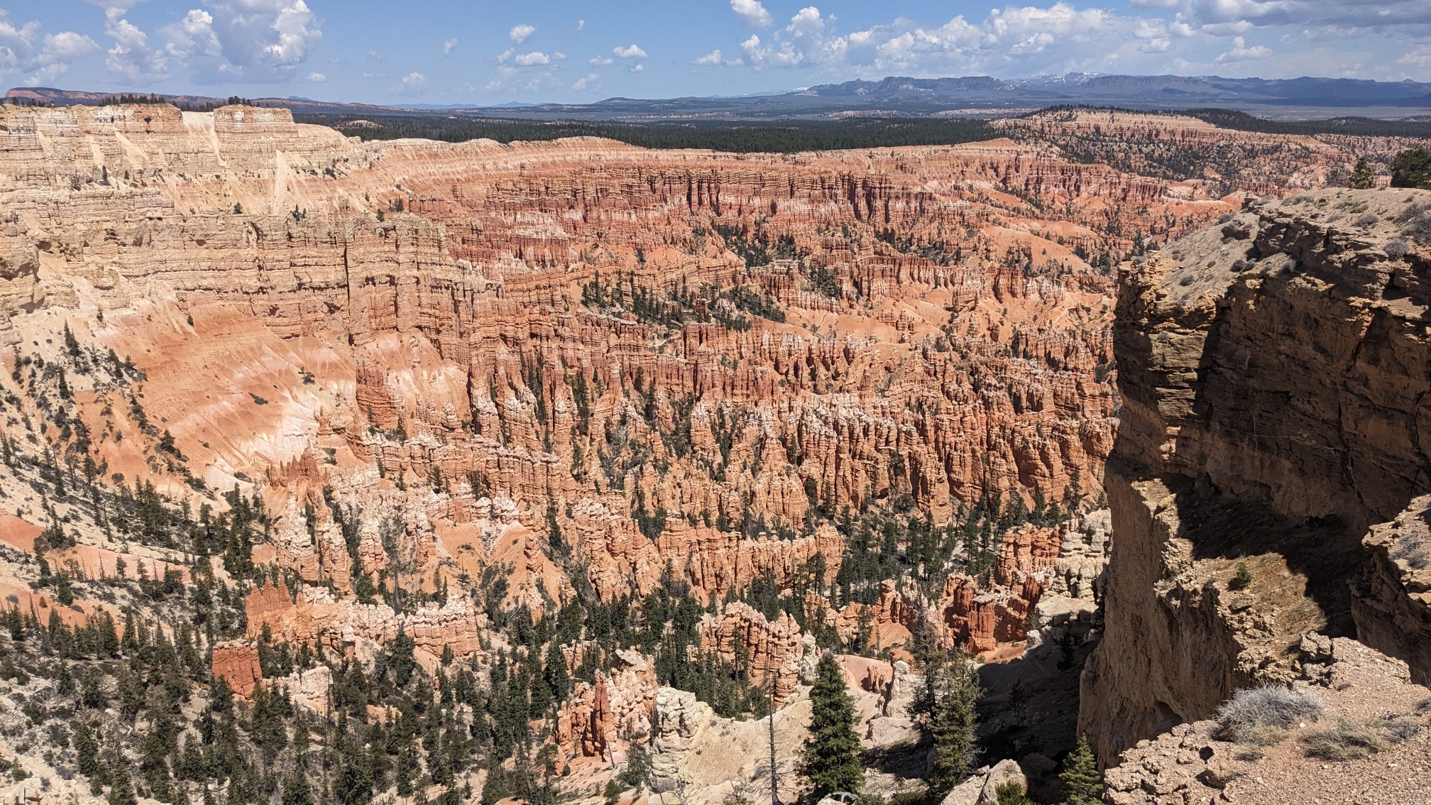
The hoodoos as seen from Bryce Point.
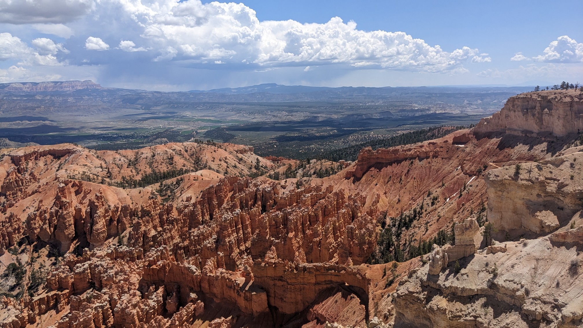
As soon as we left the rim, and got on the Under-the-Rim-trail, there were no more people.
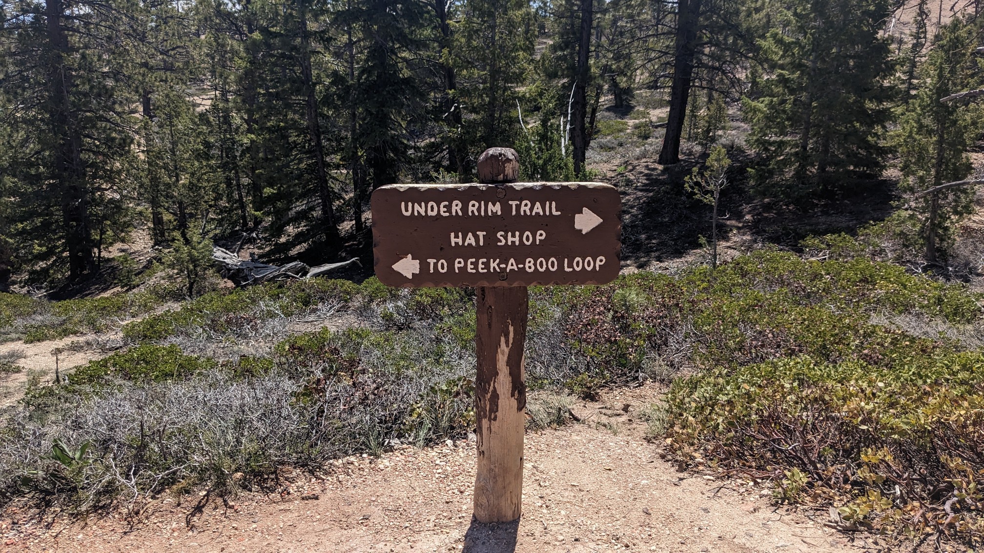
It was just quiet and easy hiking on a nice trail.
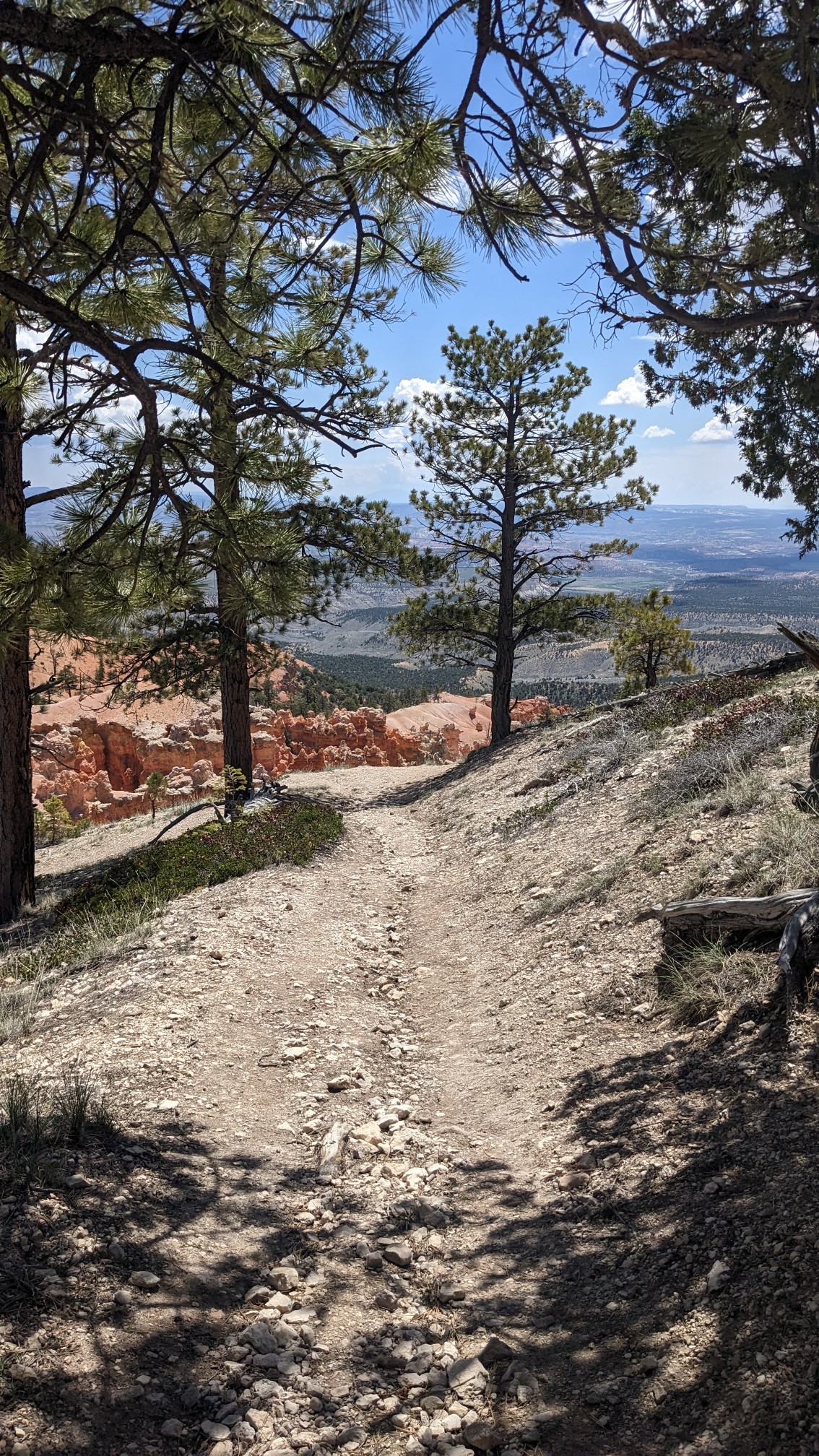
After an hour, we came to a little spot called the Hat Shop.
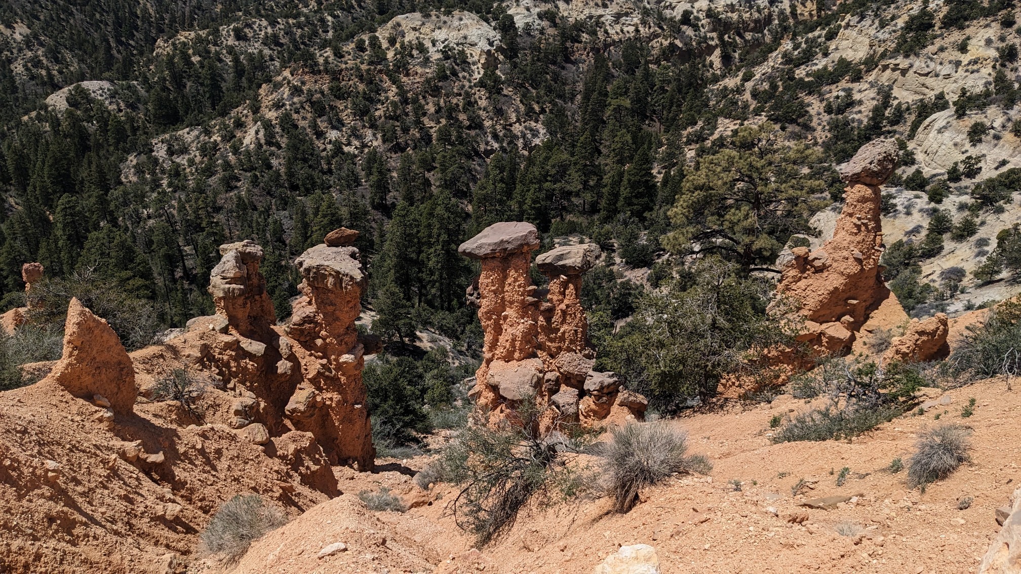
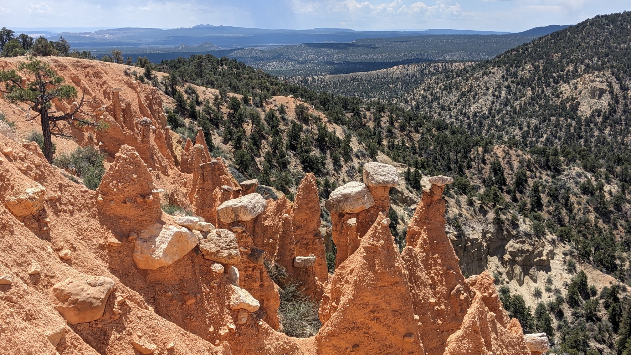
All these formations looked like a ton of hats perched on top of the pillars. These two were especially pointy.
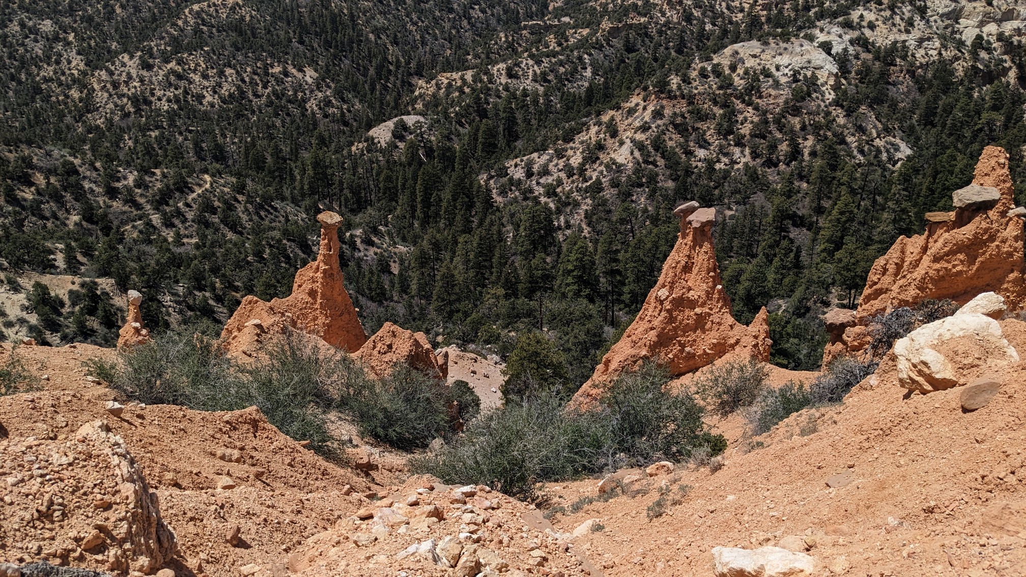
We had lunch on the ridgetop at the hat shop, and it was still a perfect temperature with no thunderstorms. After lunch we descended to Yellow Creek.
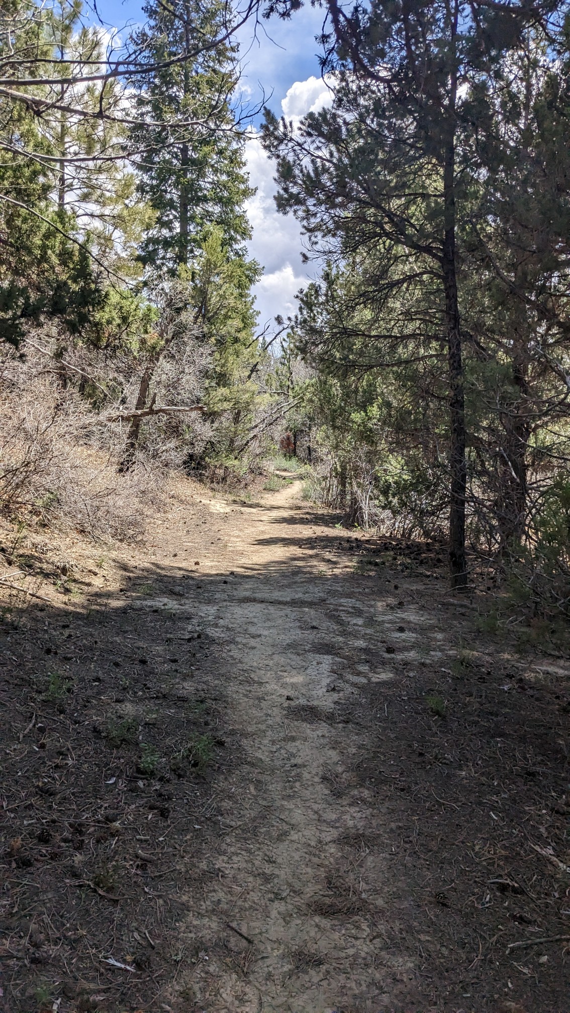
The rest of the day we hiked on the Under-the-Rim-trail, which was easy walking with great views.
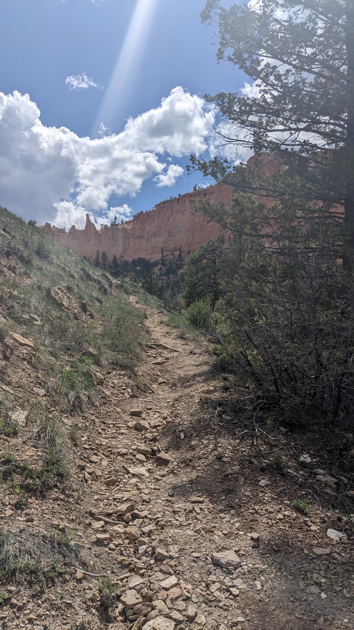
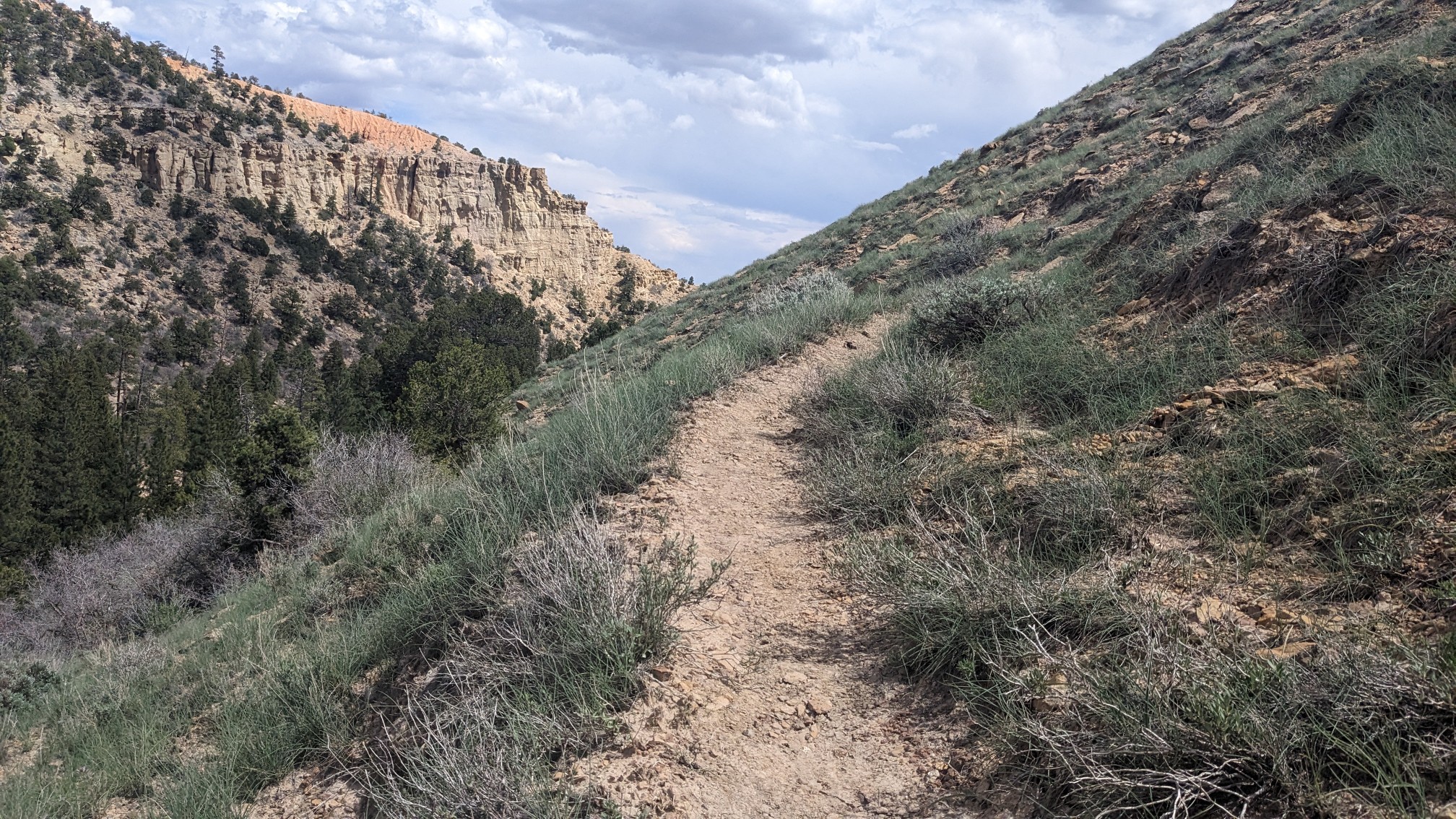
We would descend into a valley, then climb up to a ridge, and repeat. From the top of the ridges, I could see the rim with more hoodoo formations.
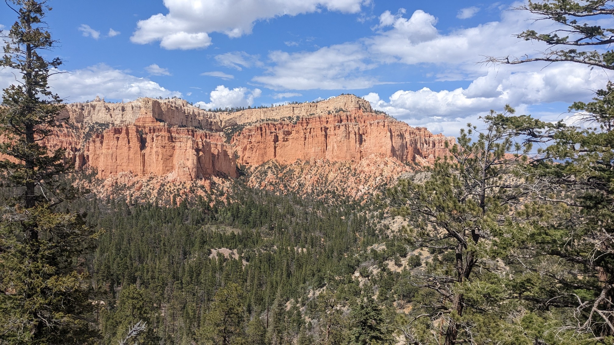
We were up at an elevation of almost 8,000 feet, so there were big trees up here.
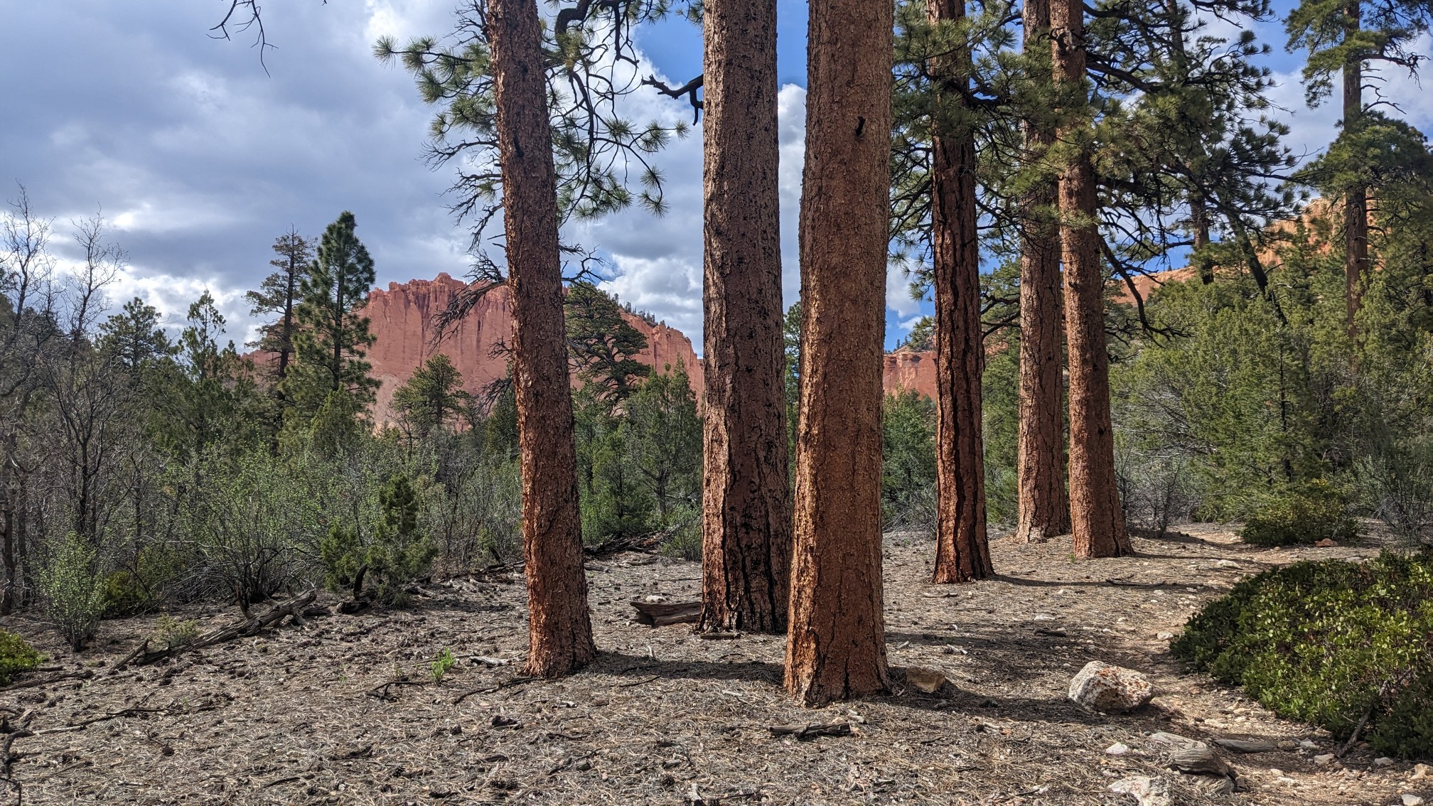
Our final climb for the day was up Swamp Canyon Creek.
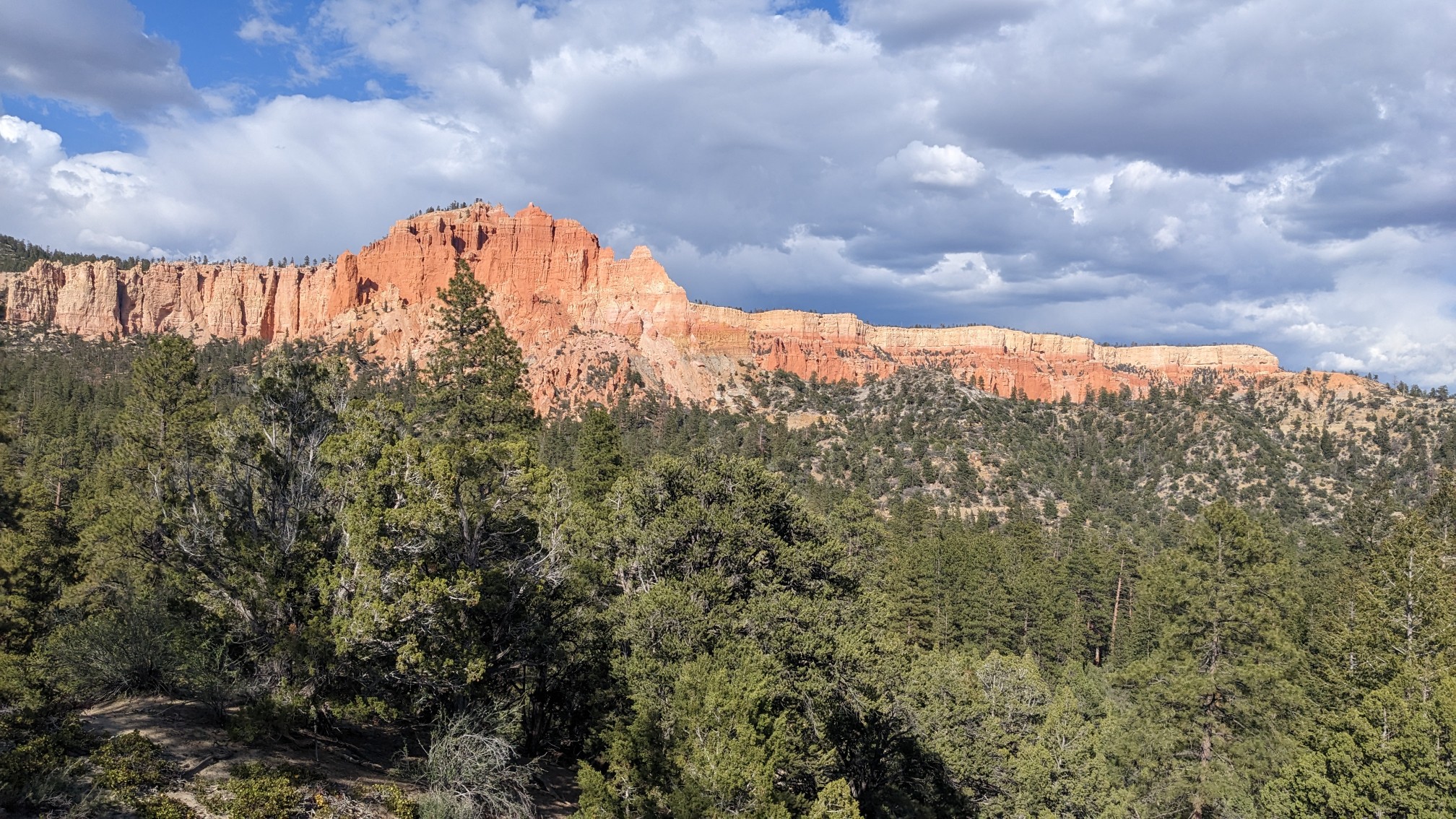
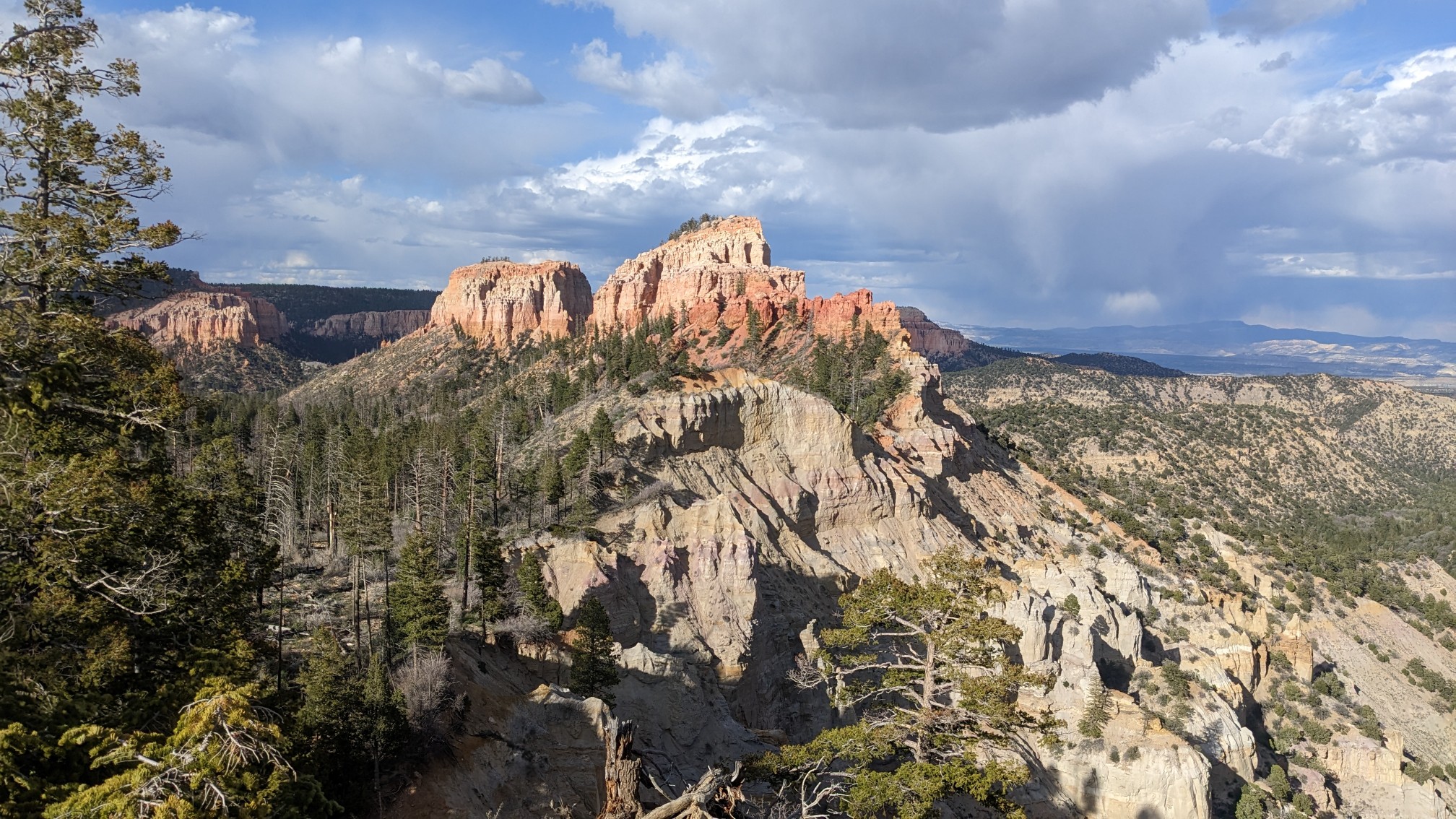
At the top of that climb, we hiked through a burn area for a half-hour.
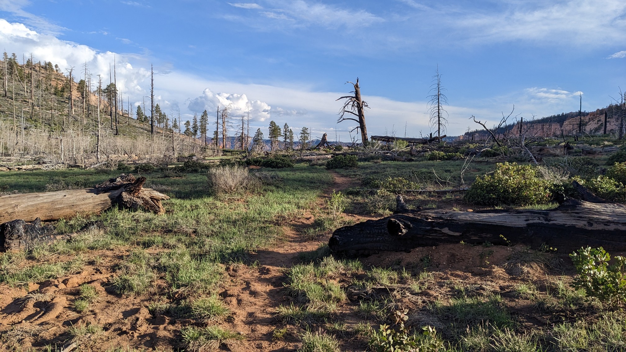
In order to legally camp, we needed to get to the boundary with the Dixie National Forest. As soon as we got to the gate at the park boundary, we started looking for camping.
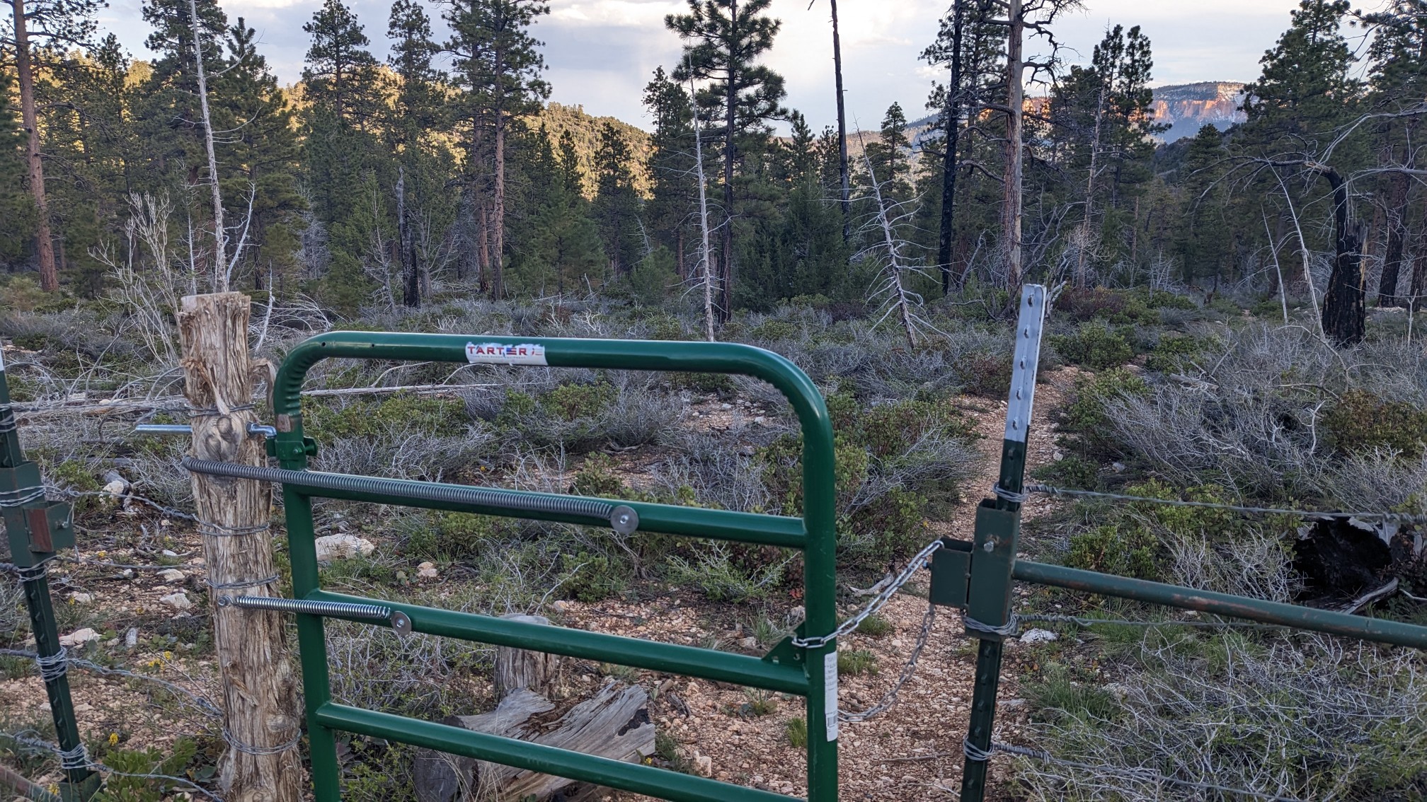
And within 5 minutes we found a spot under some nice huge pine trees and sheltered from the wind. Perfect!
Tomorrow we will continue on the Under-the-Rim-trail, which will rejoin the Hayduke in a couple miles. (today was an alternate route, to see more of Bryce NP).
Love the hoo doos at Bryce! Recognize a few of the ‘points’ and that tree! 😄
It’s probably the most underrated park in Utah!