Friday May 19, 24.6mi/39.6km
Under-the-Rim-Trail @ Dixie NF border (alt 33.2/7760ft) to Bullrush Gorge (472.9/6180ft) (UT) +1.6mi Rainbow Point
I woke up after a great night’s sleep, it was a perfect spot to camp in the trees. We left just before 7am and hiked thru the morning light.
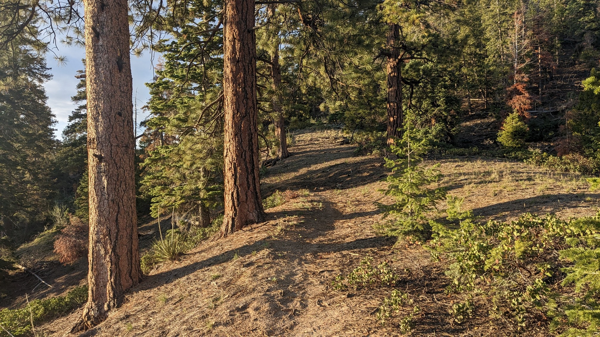
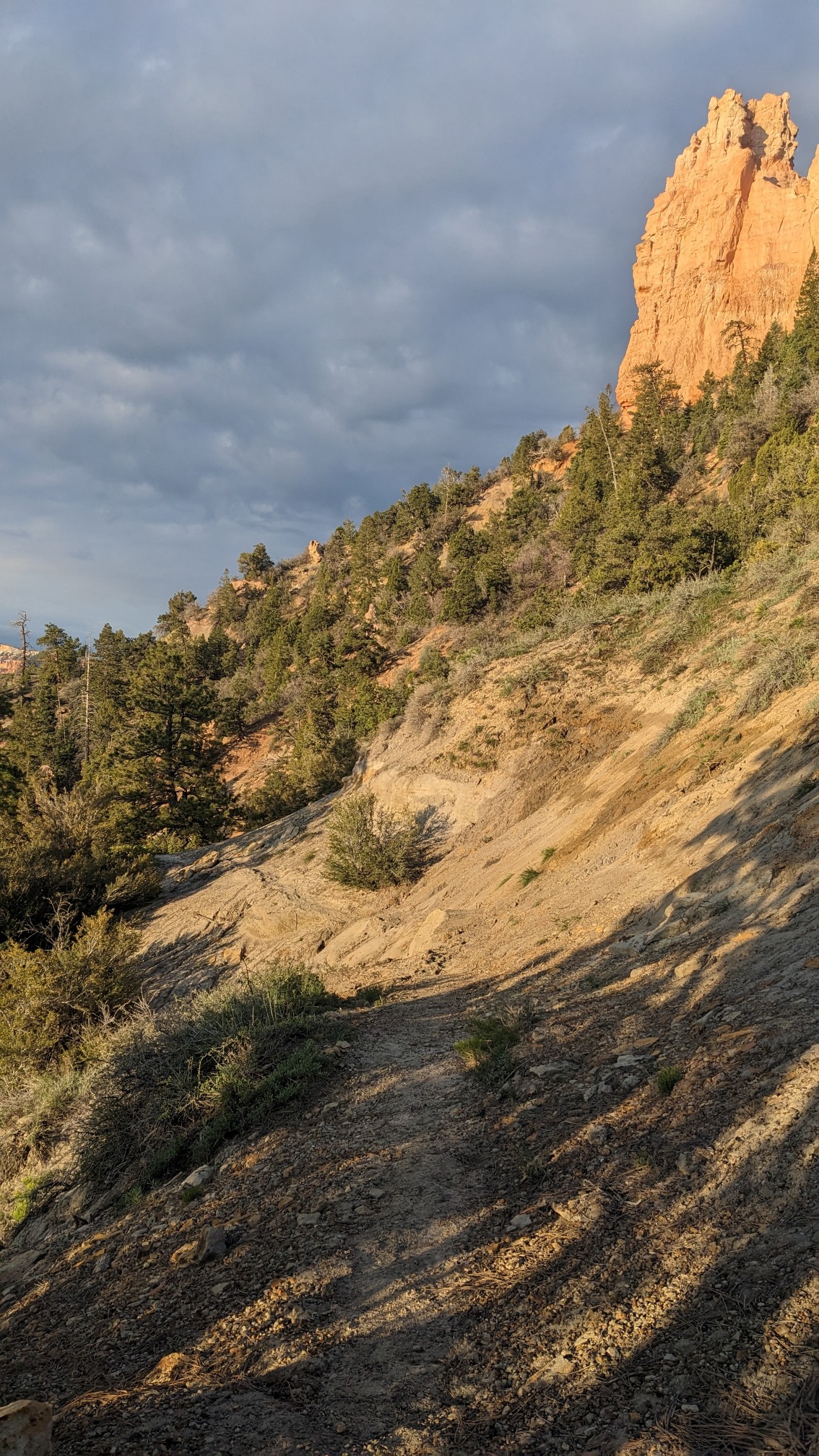
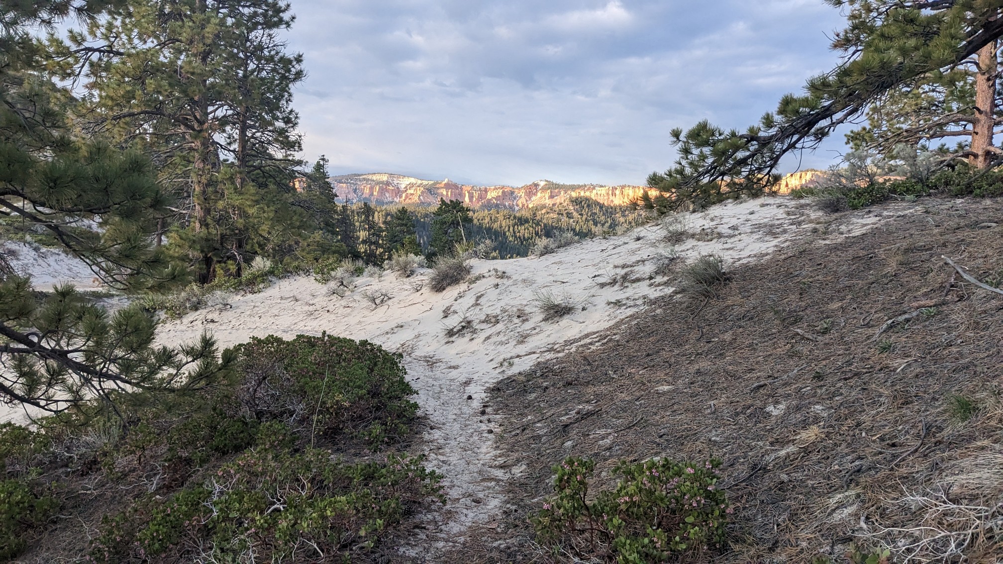
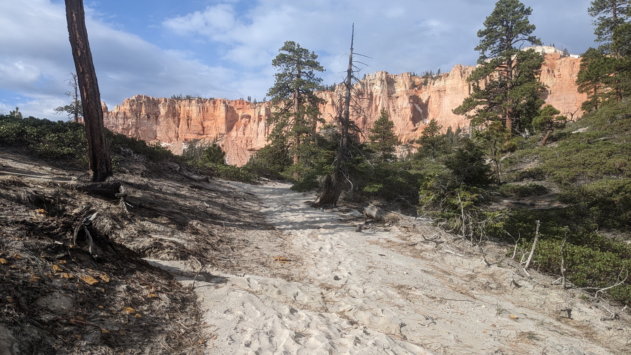
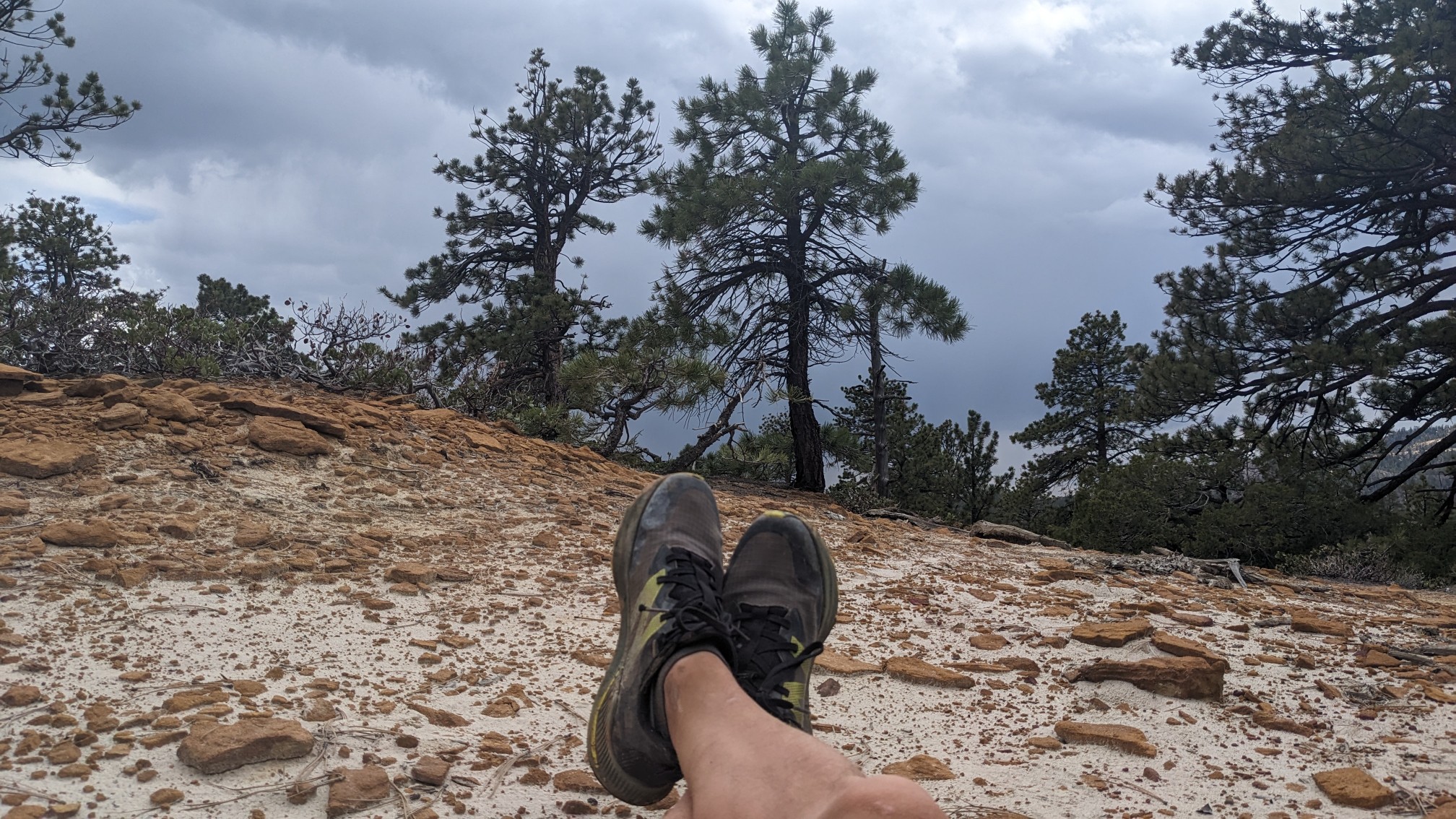
We were still on the Under-the-Rim-trail for another 8 miles, and every time it crested a ridge I had a great view of the rim. The white stuff in the foreground is sand, the faraway white is snow!
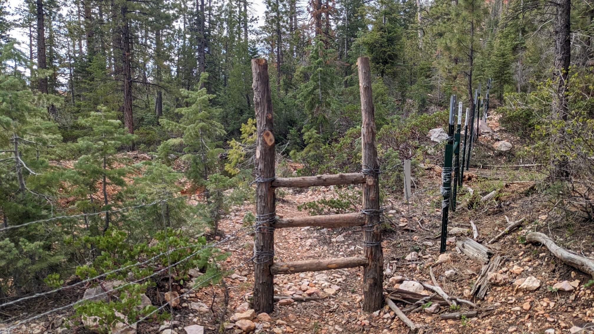
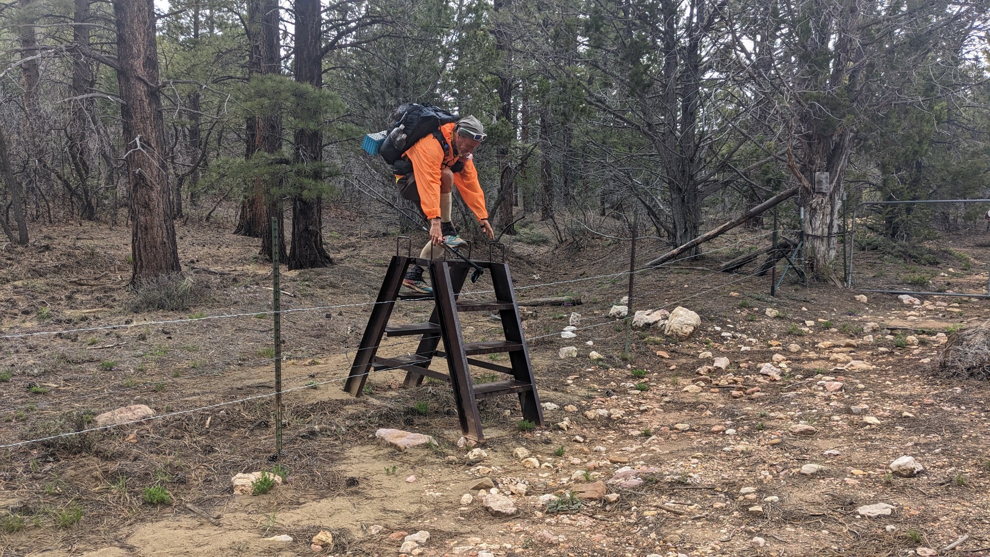
We crossed out and back into the national park briefly, and the trail had these strange vertical ladders to get over the fence.
Slowly we climbed up toward Rainbow Point…
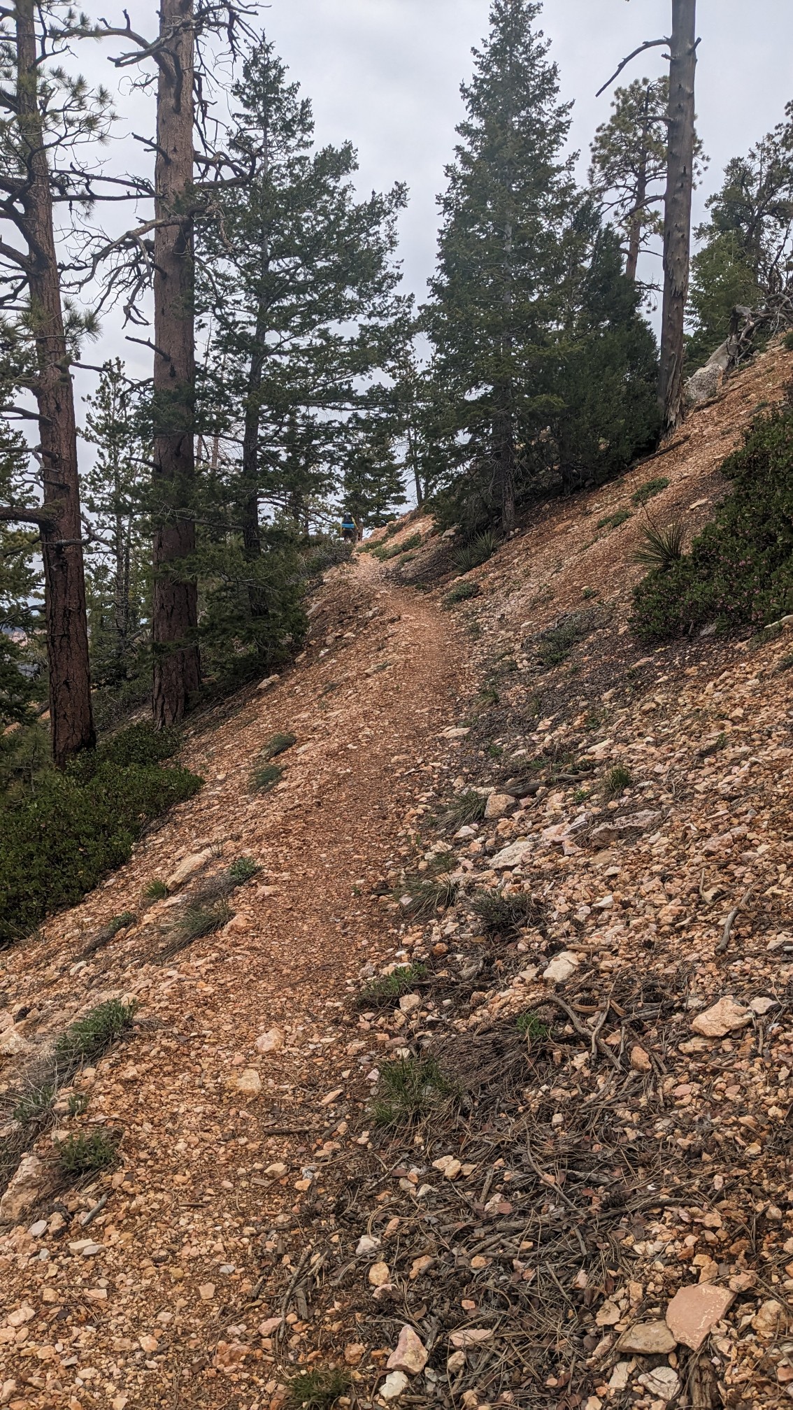
And further up…
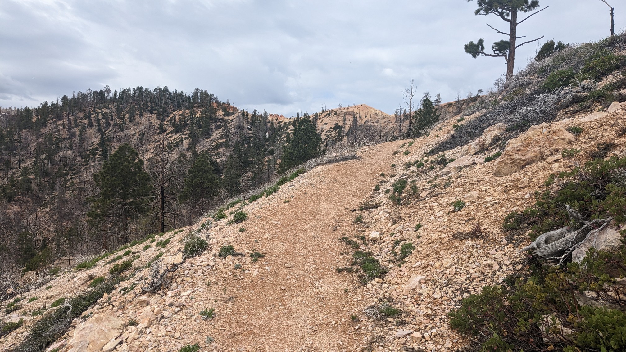
As I neared the top I could look down on the leftover snow patches.
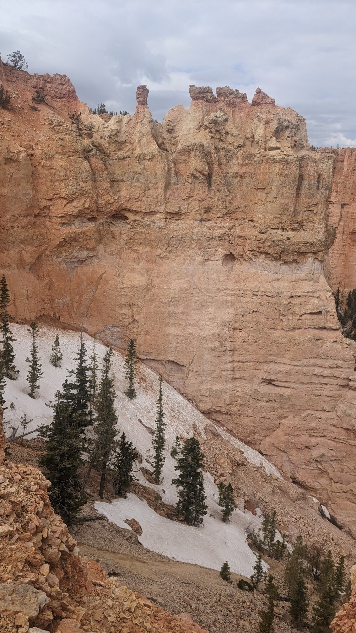
And there were even some tiny snow patches next to the trail!
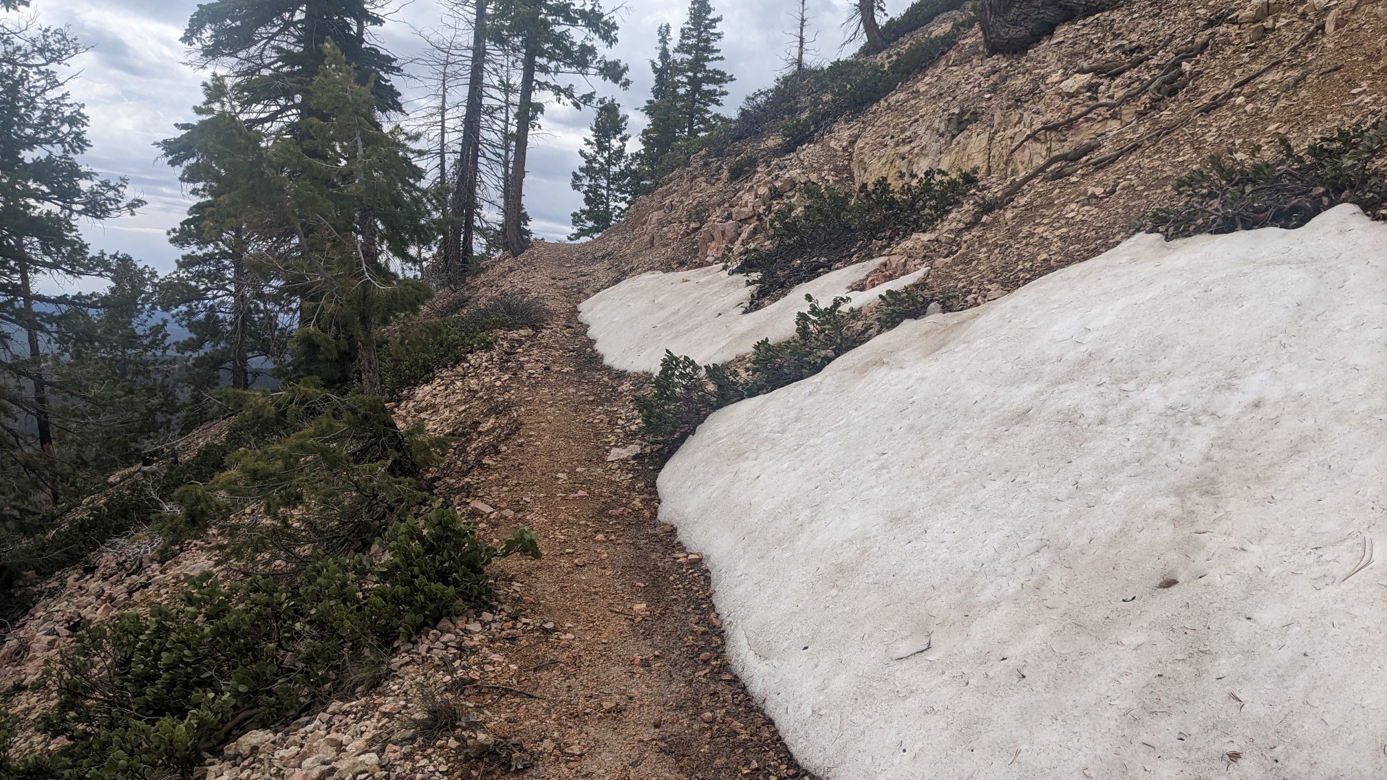
It felt cold up at 9000ft, but the views were superb.
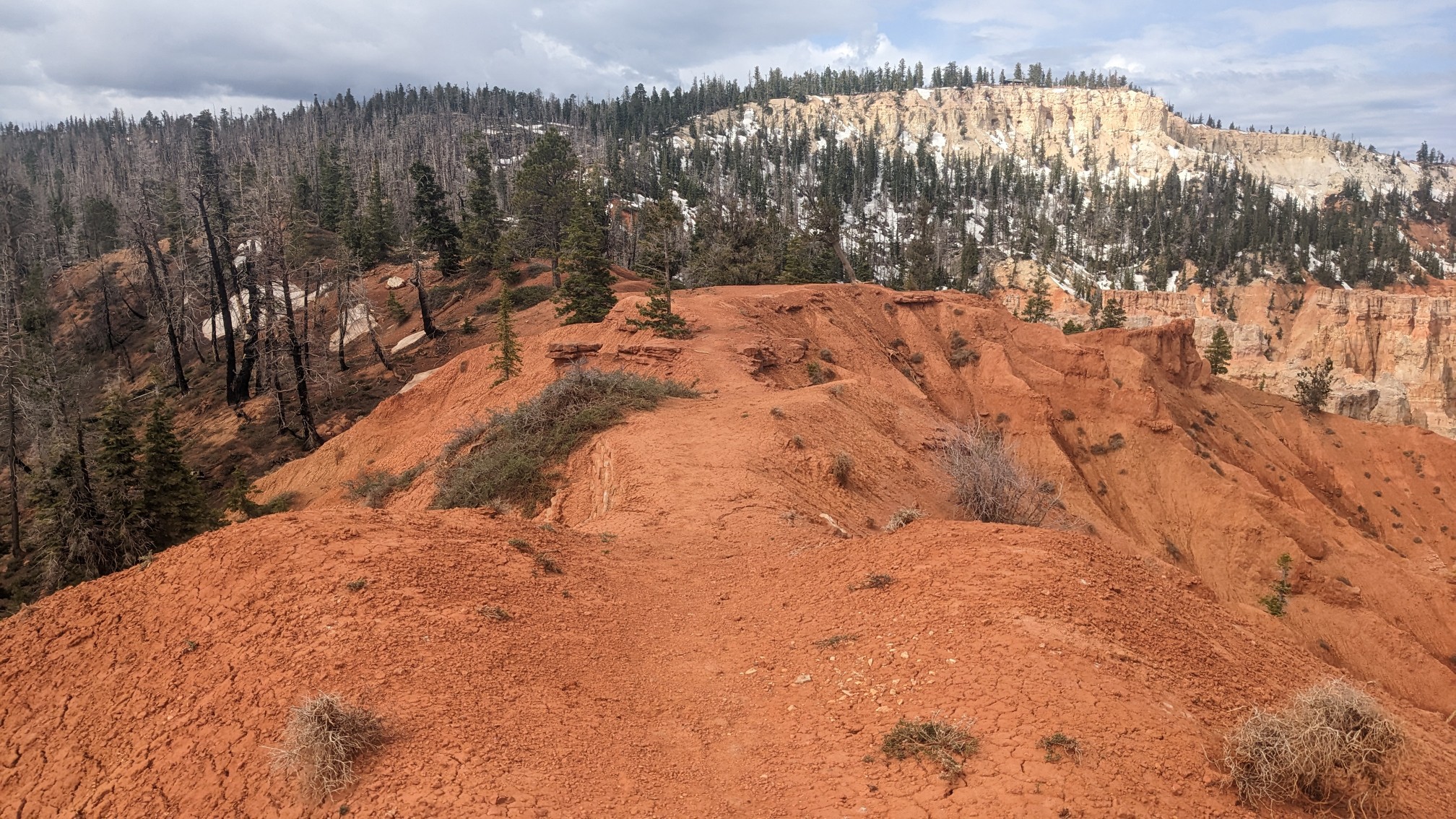
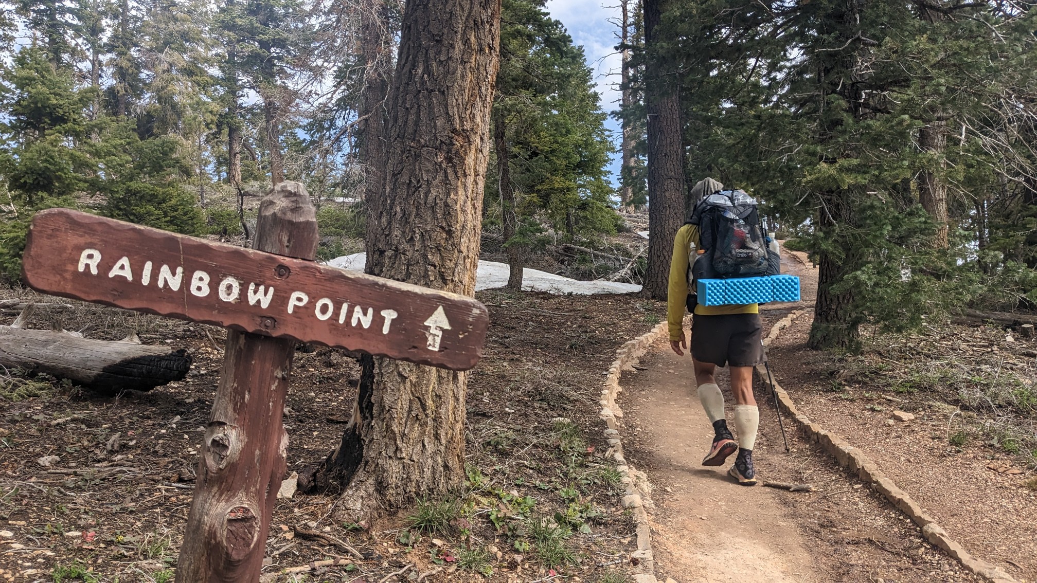
I caught up to Shadow, and we made the short side trip to Rainbow Point.
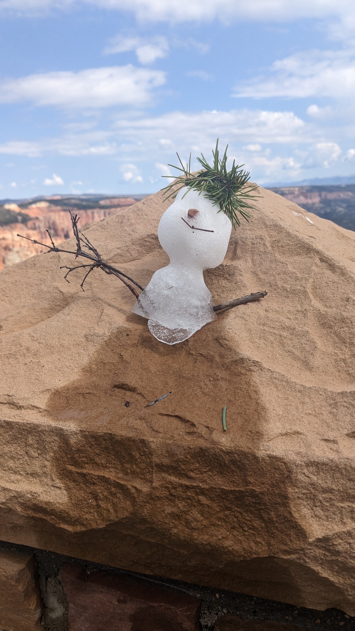
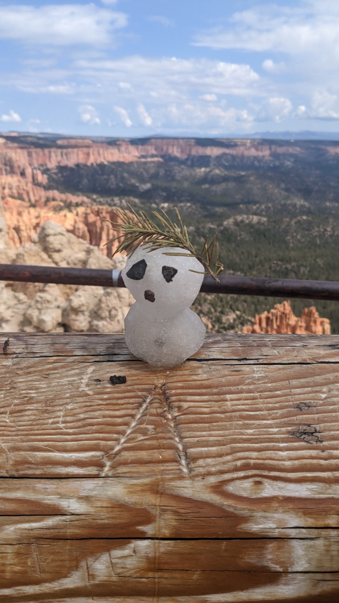
Someone had made a couple of tiny snowmen on the overlook railing, ha!
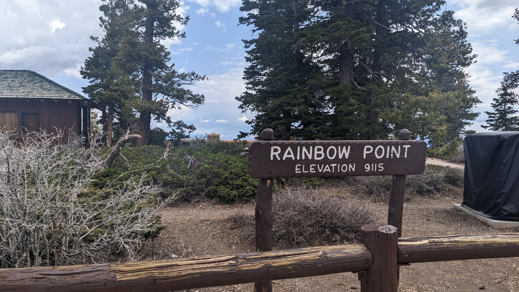
The sign said we were at 9,115ft / 2778m elevation, that’s the highest I’ve been on the Hayduke.
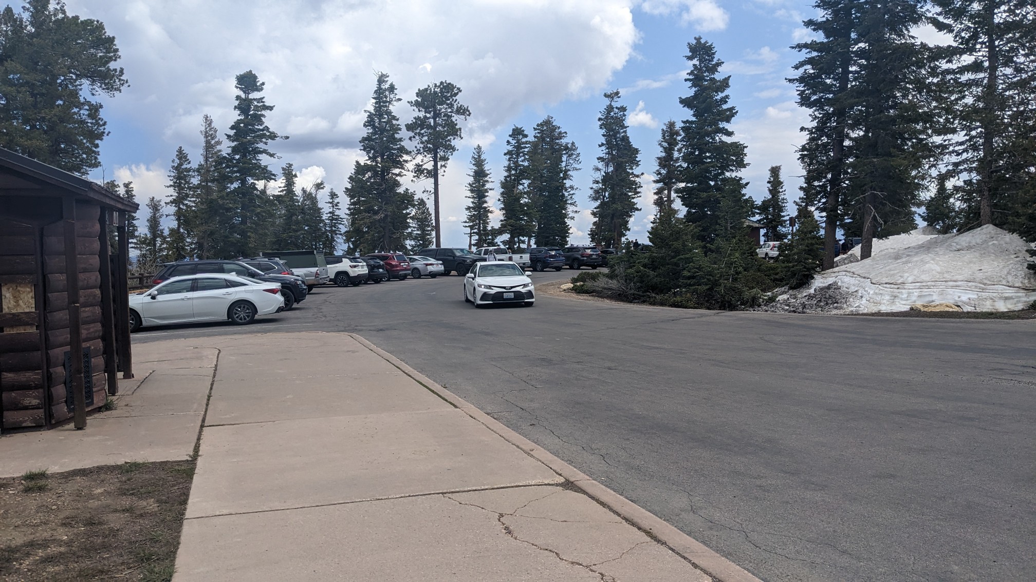
We had a long break on a bench, and Shadow even made a coffee. There were quite a few people around.
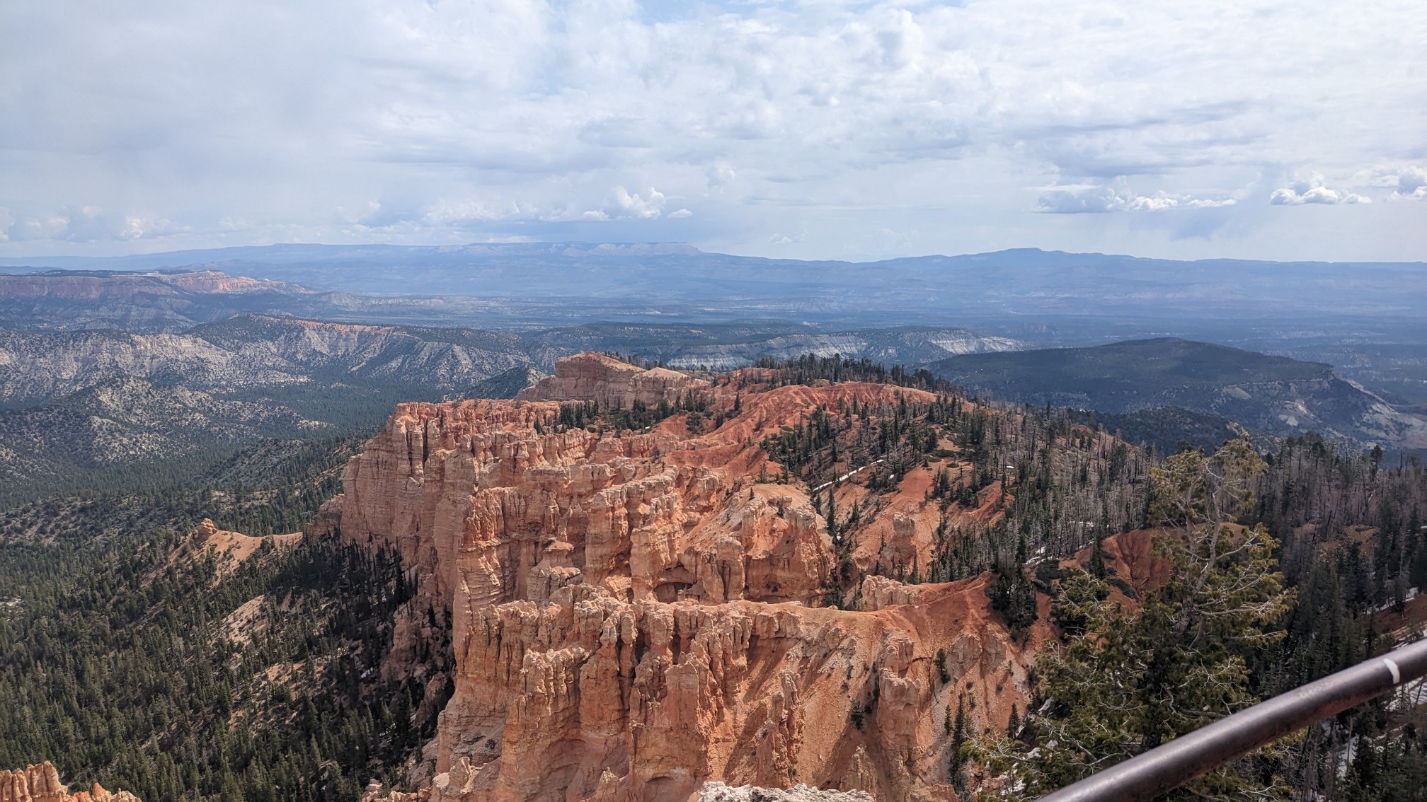
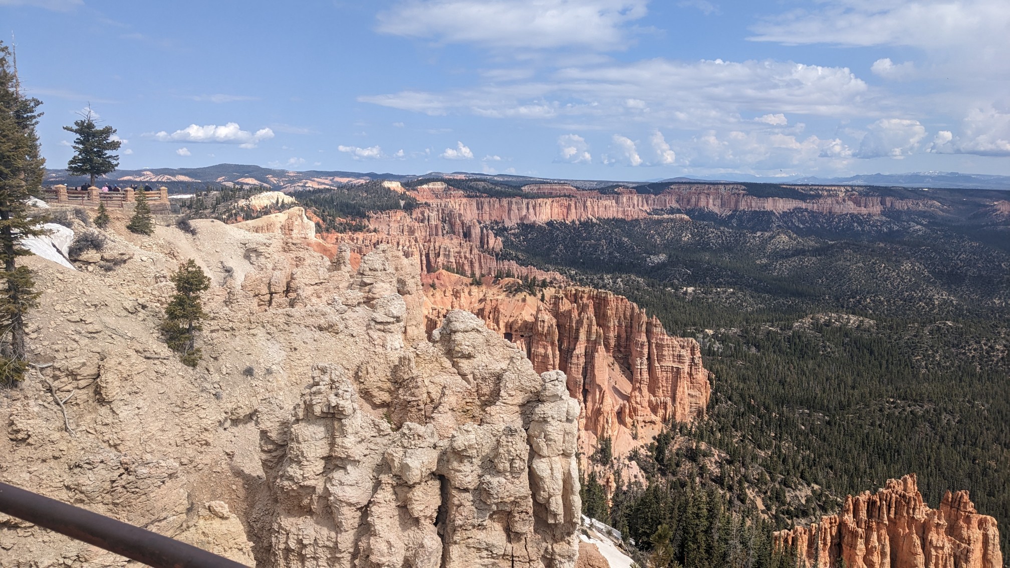
We checked out the overlook, and it had views to the northeast and northwest.
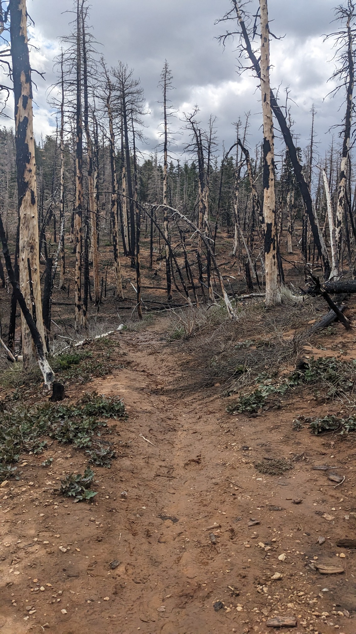
After 45 minutes we departed, and hiked back downhill, this time on the Riggs Springs Trail. It traveled through a burn area, and along with the clouds, gave it an eerie feeling.
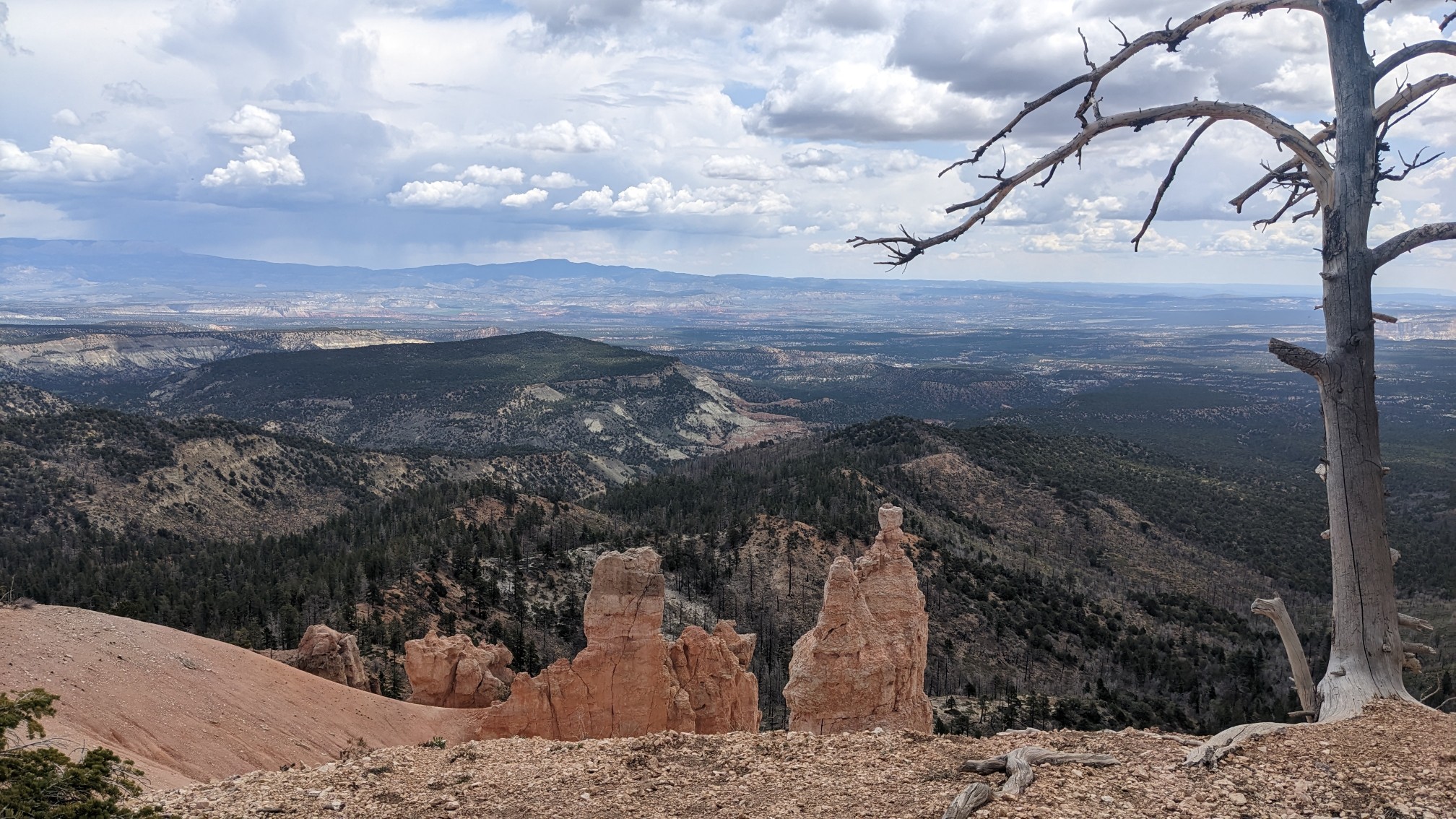
The view to the south.
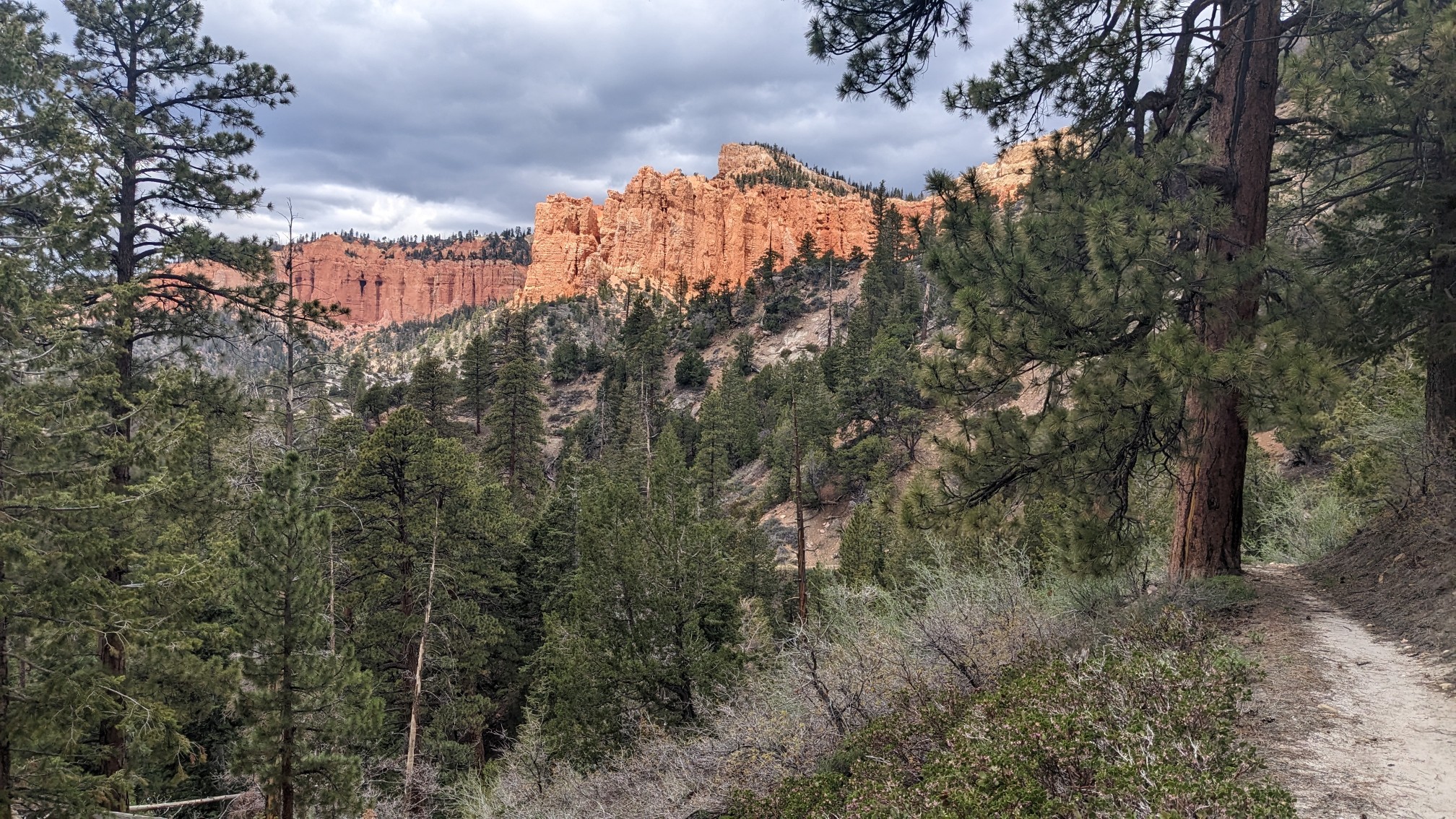
We descended for an hour and then had lunch. It was threatening to storm but no rain came.
After we packed up from lunch, we had another hour of hiking to get to the park boundary. It rained briefly for 10 minutes along the way, umbrella to the rescue! Of course at the park exit, we had another fence to climb over.
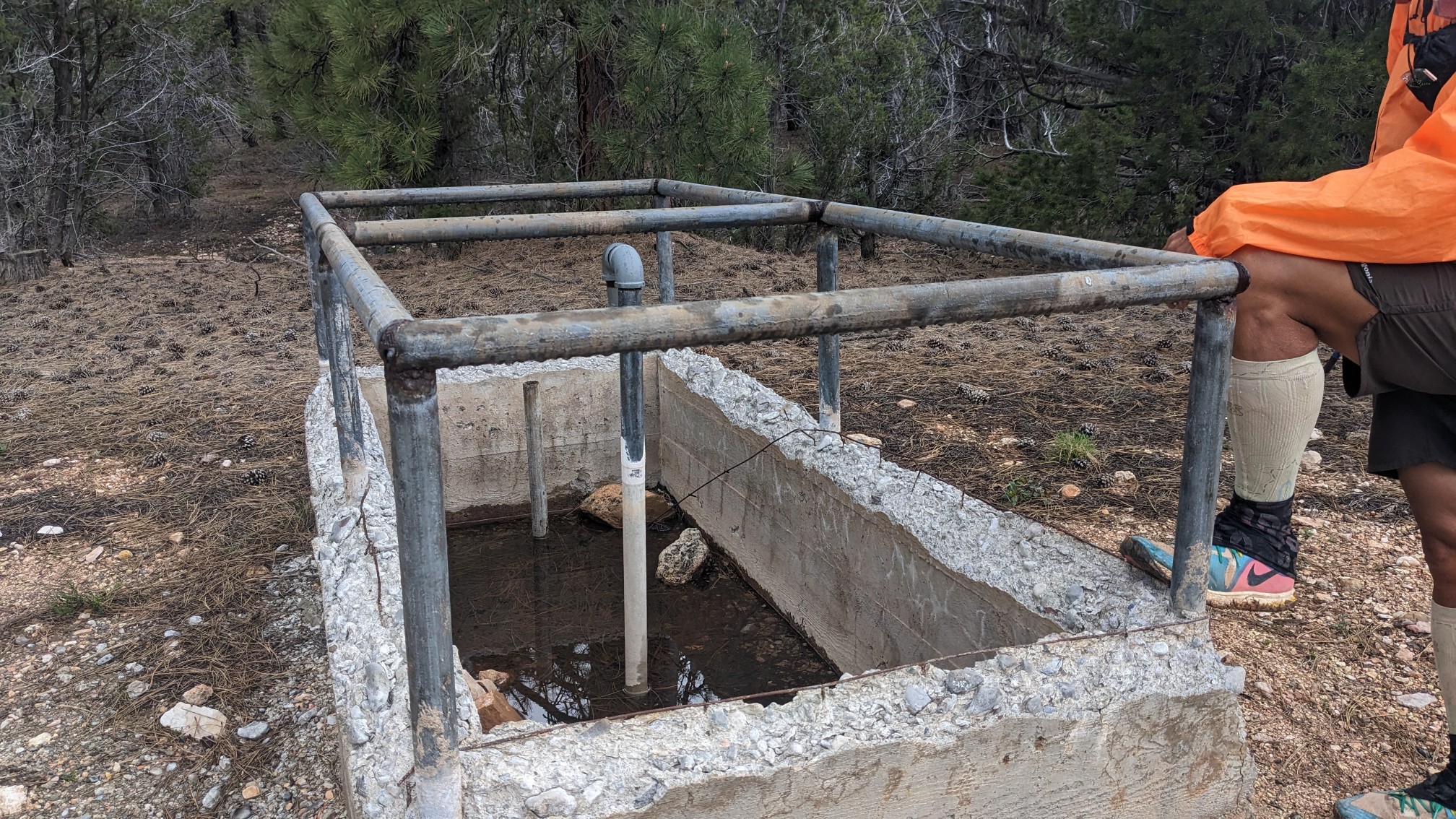
We passed a strange concrete object, which shockingly had nice clear water in it. I didn’t need any water, but as we were pondering the next water source, another hiker walked up!
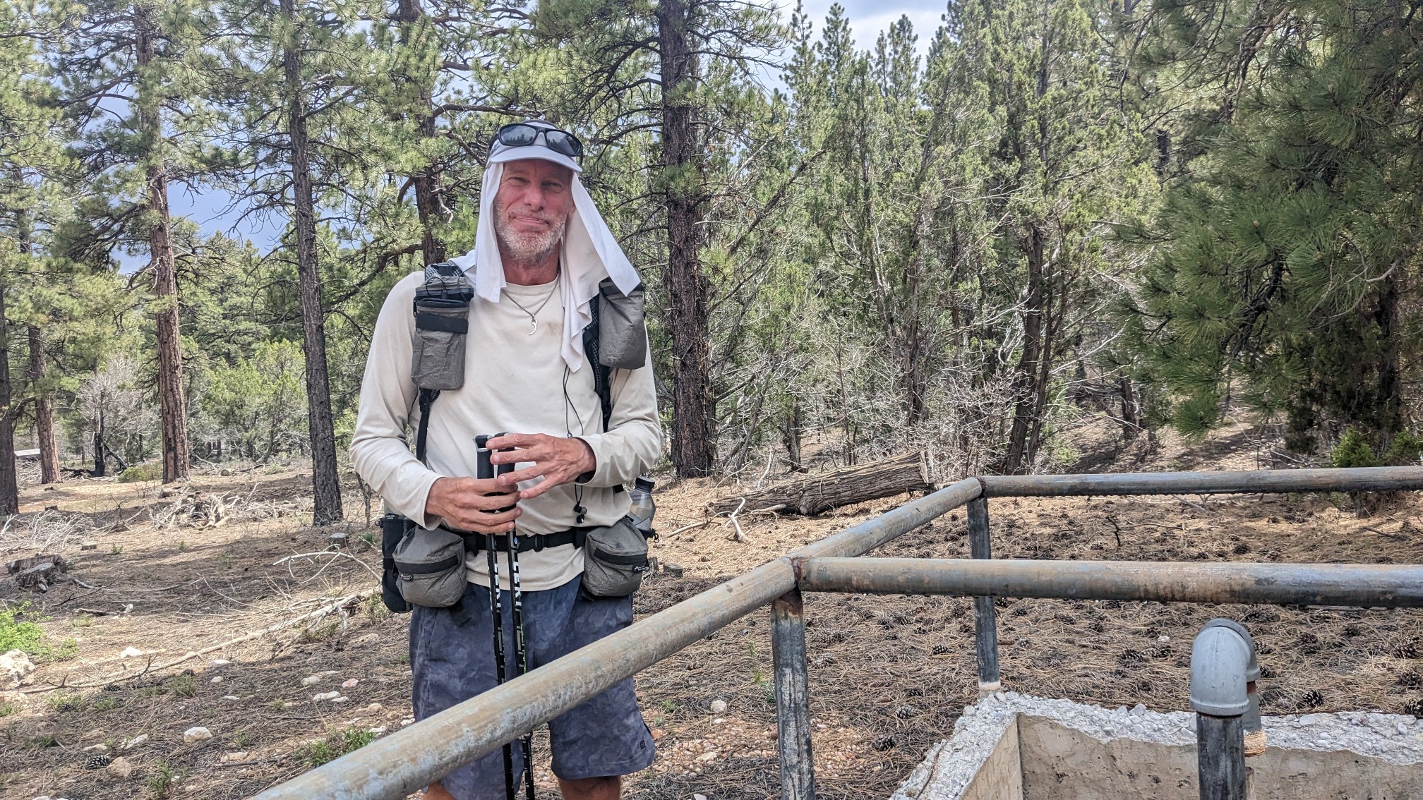
His name is Malto, and he had hiked the Arizona trail, connected it to the Hayduke, and is planning on hiking home to Durango (CO). Cool. We chatted for a bit about upcoming water sources, then continued on to the trailhead.
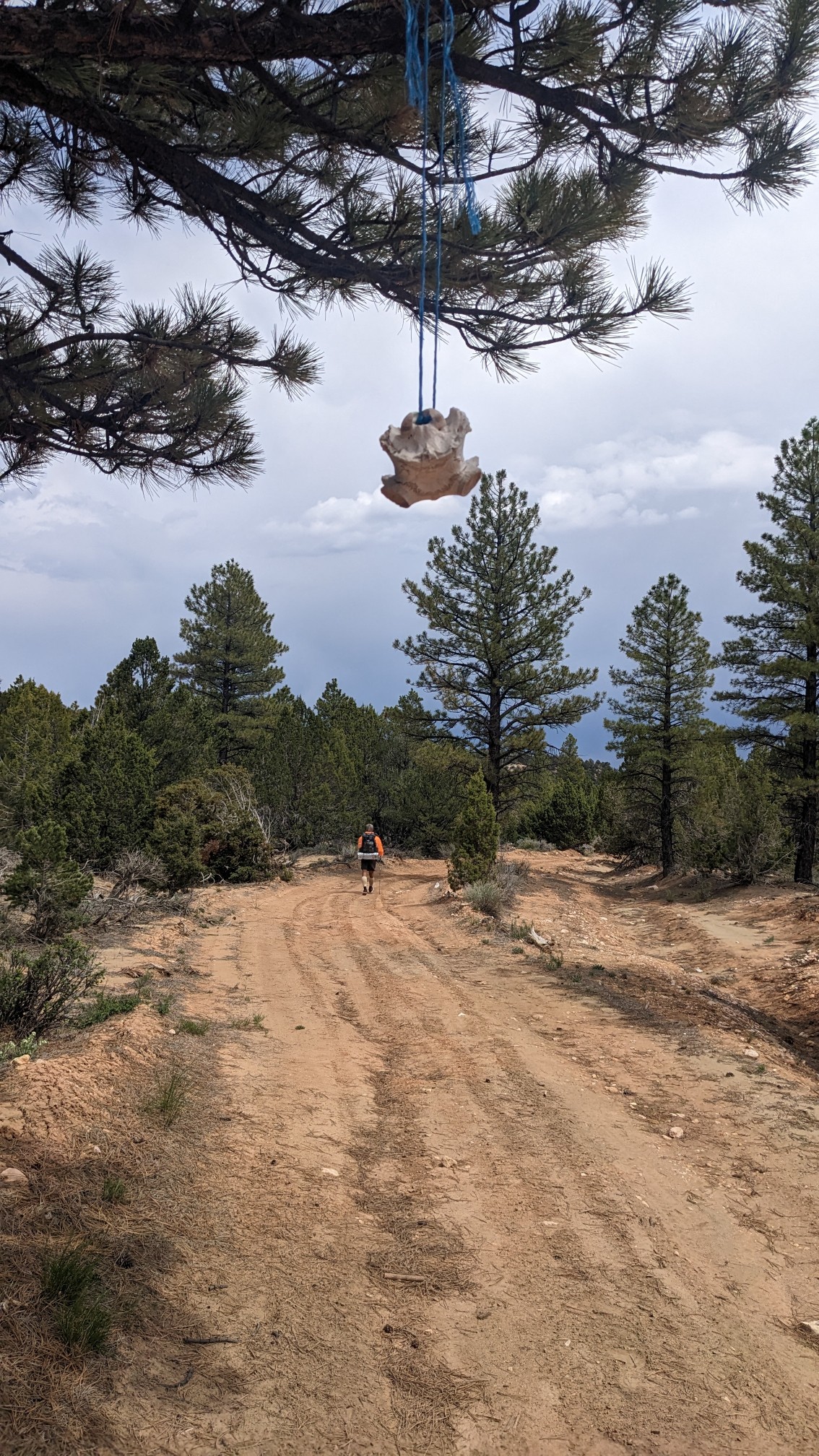
The next hour was on a roadwalk, which was nice. Someone had hung a piece of cow skeleton from a tree. Creepy.
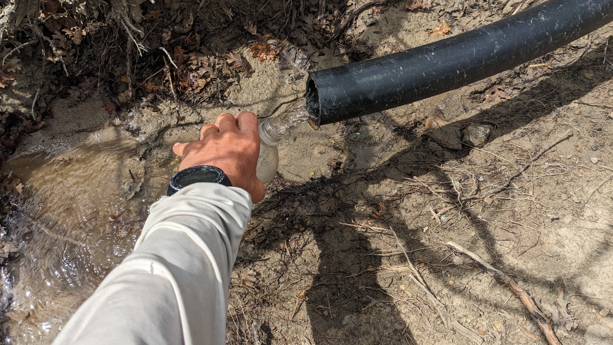
We passed by two water sources, both of which were not listed on our guide. The first was a piped spring!
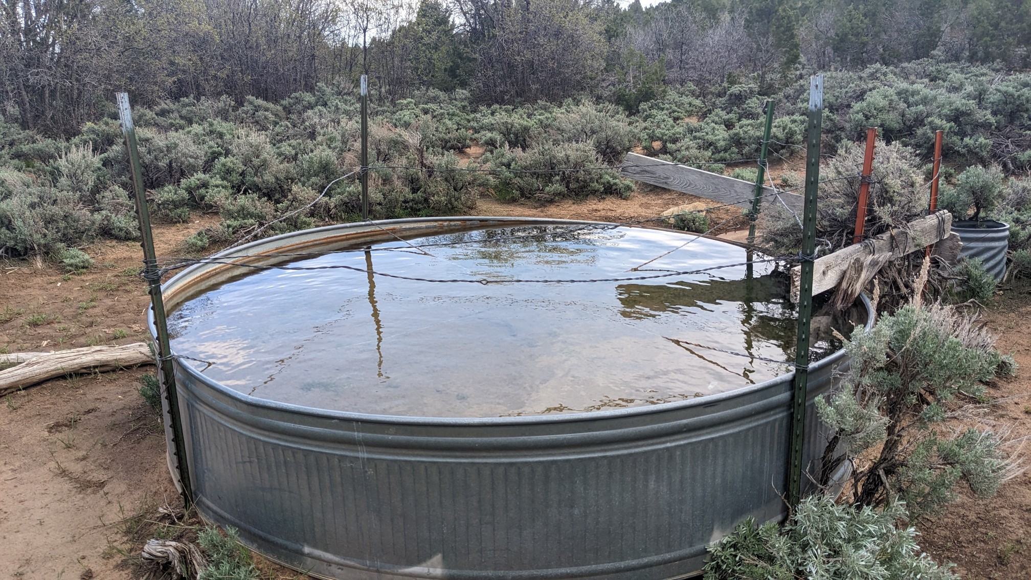
The second was a metal tank, which had very clear and cold water.
At the end of the roadwalk we entered Bullrush Hollow….
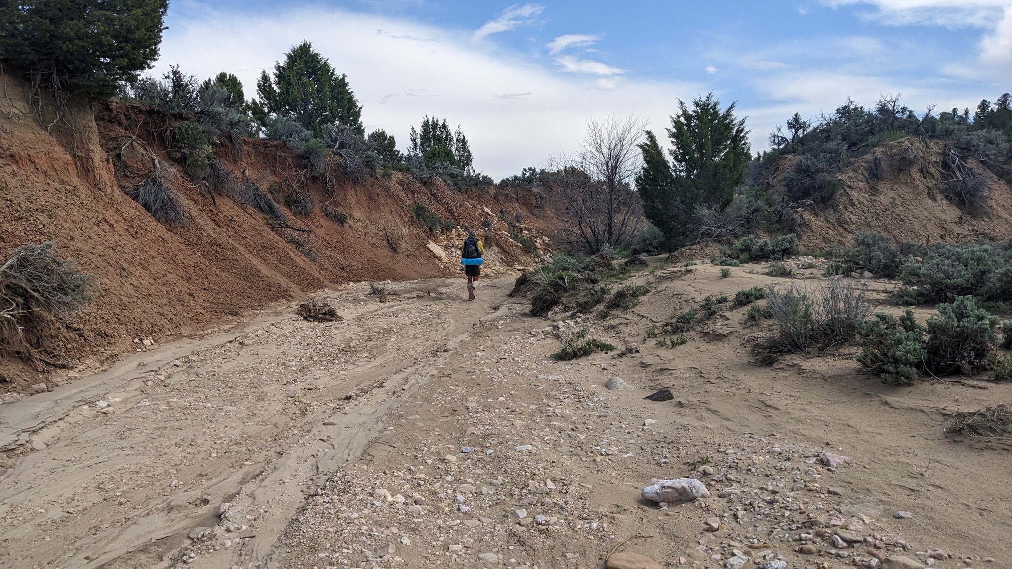
…. which became Bullrush Gorge.
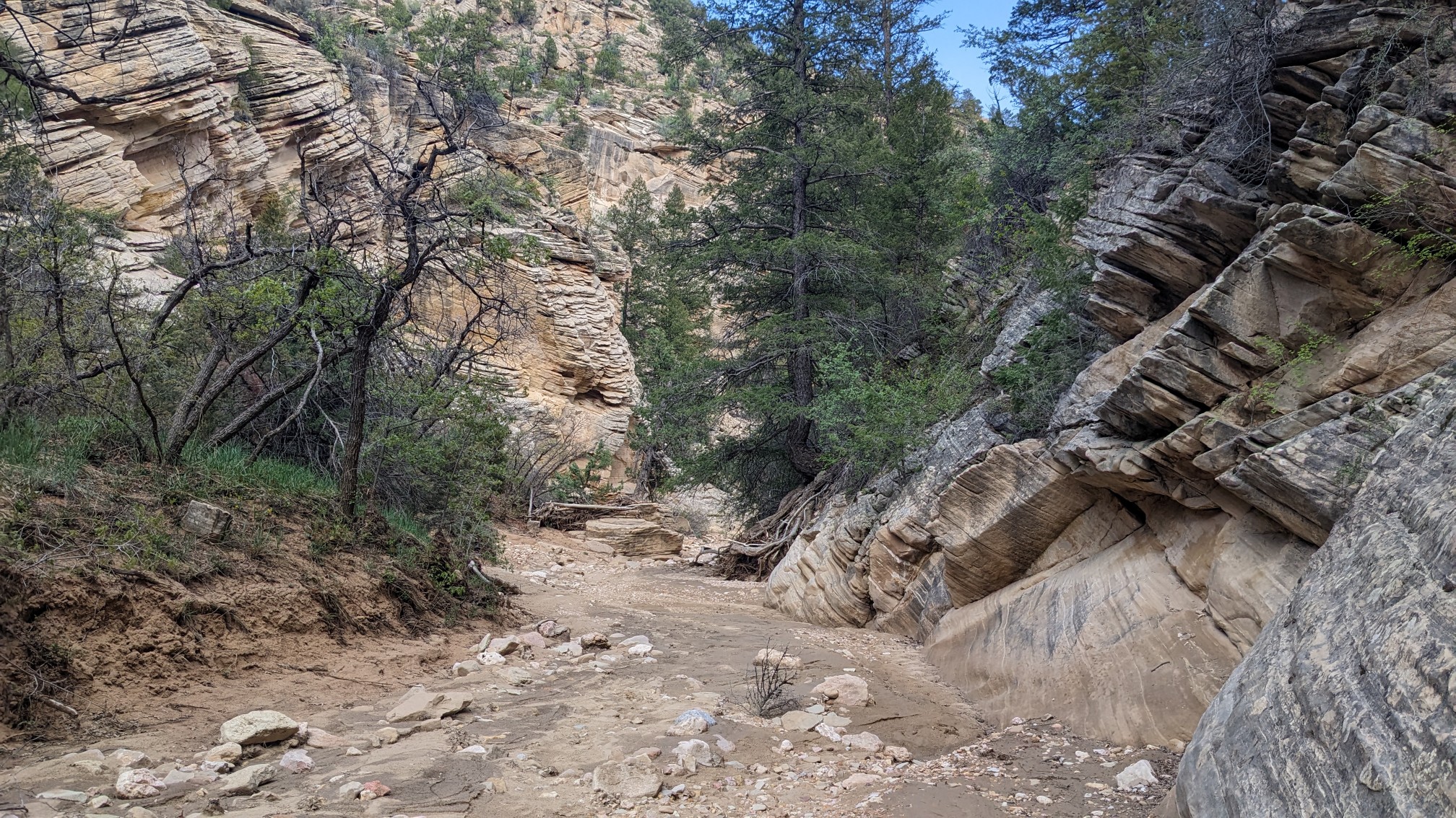
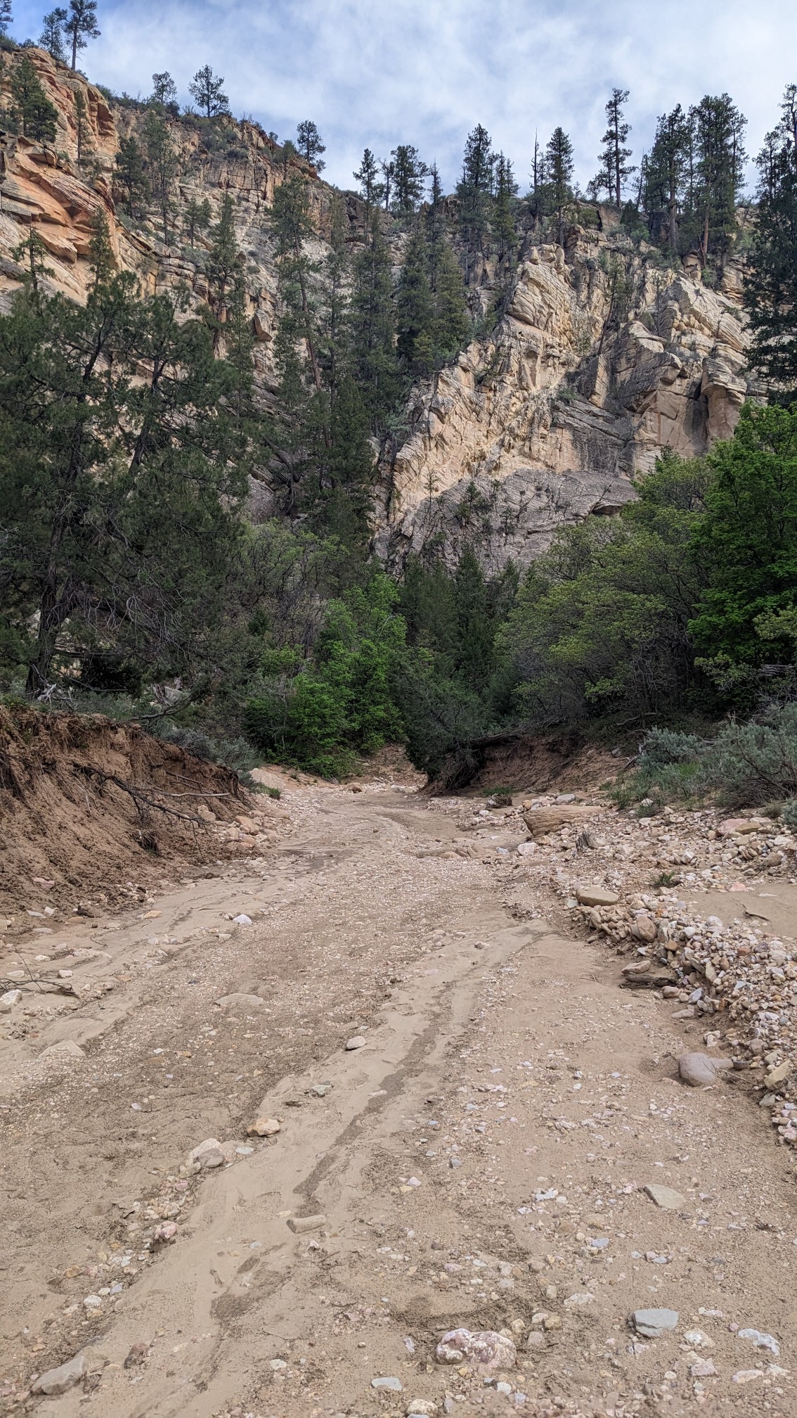
It was a nice gorge, surrounded by colorful cliffs and easy walking in a dry wash.
We found a campsite where the Bullrush Gorge joined the Park Wash, and set up away from the floodplain.
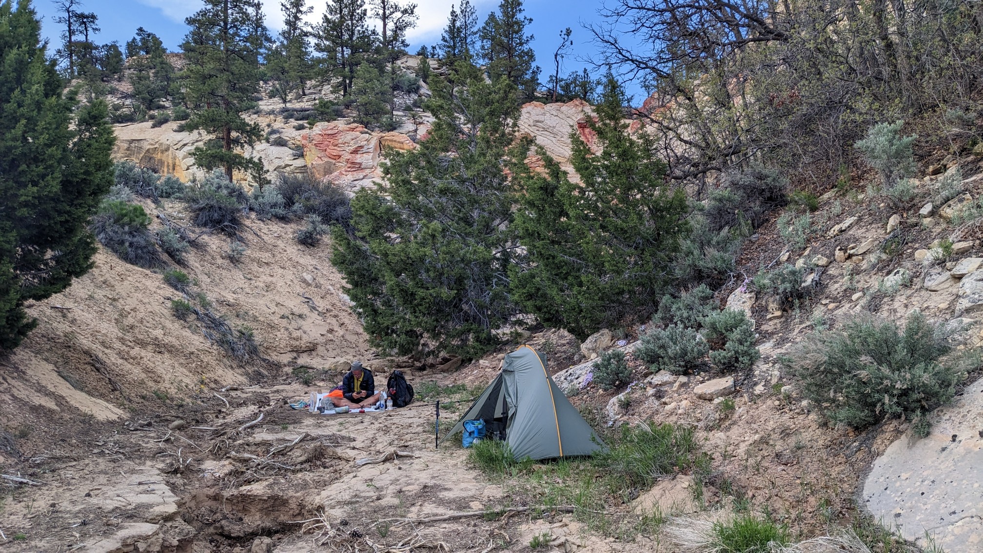
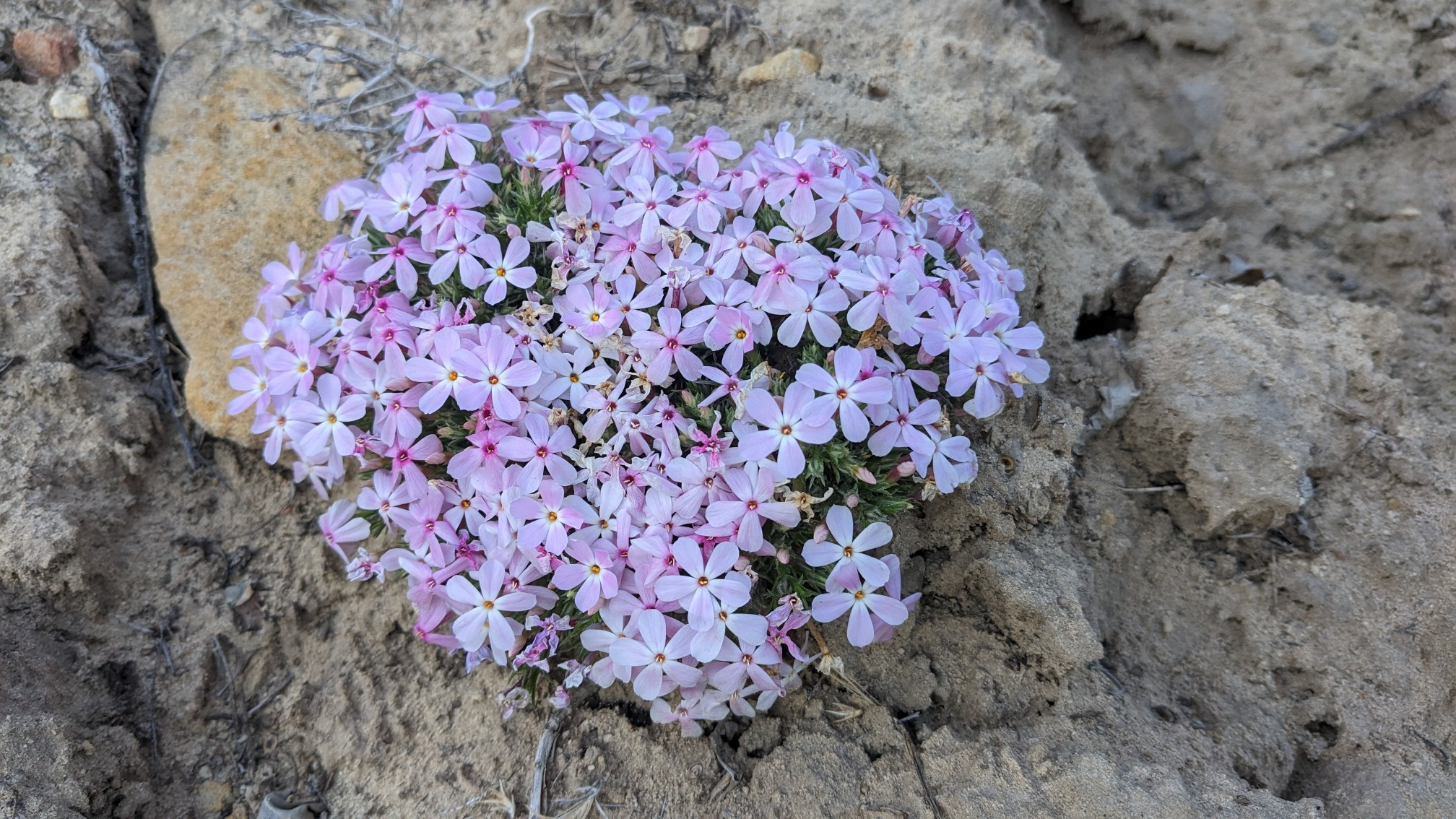
It was also near these very fragrant wildflowers!
Today was a fairly relaxed day, tomorrow should be even more so, since we are limited to 20 miles (there is a 6-mile-long no camping section after that).