Saturday May 27, 13.4mi/21.6km
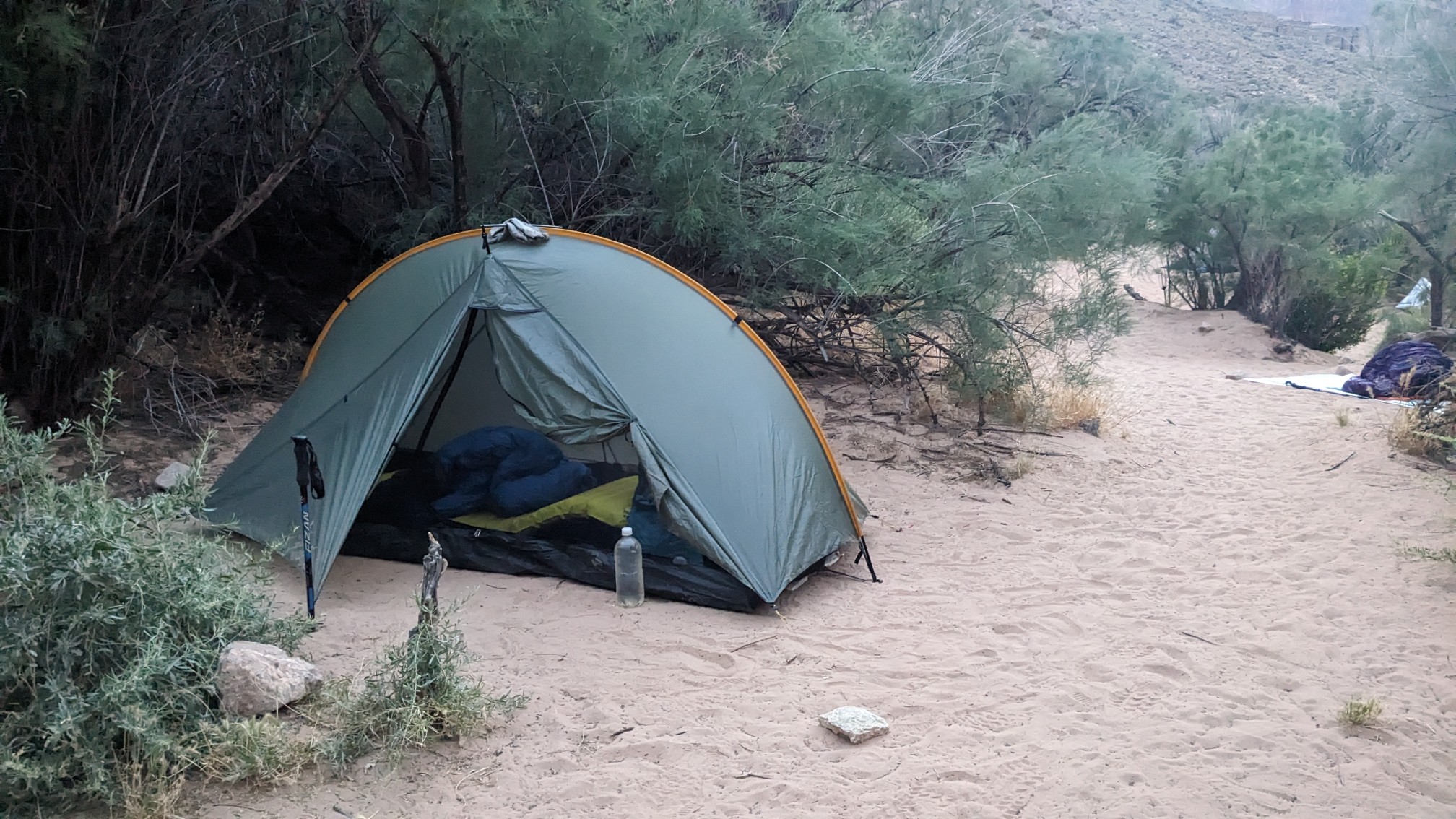
Nankoweap Trailhead (572.8/8840ft) to Nankoweap Beach (584.1/2800ft) (AZ) +2.1mi GPS correction
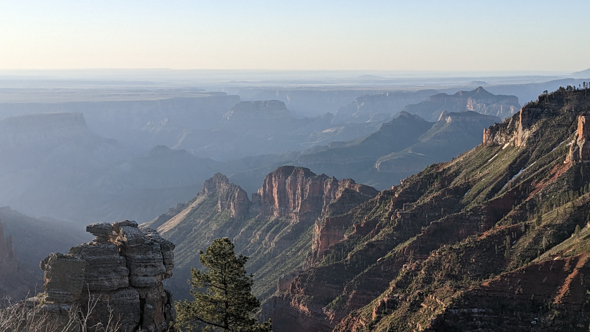
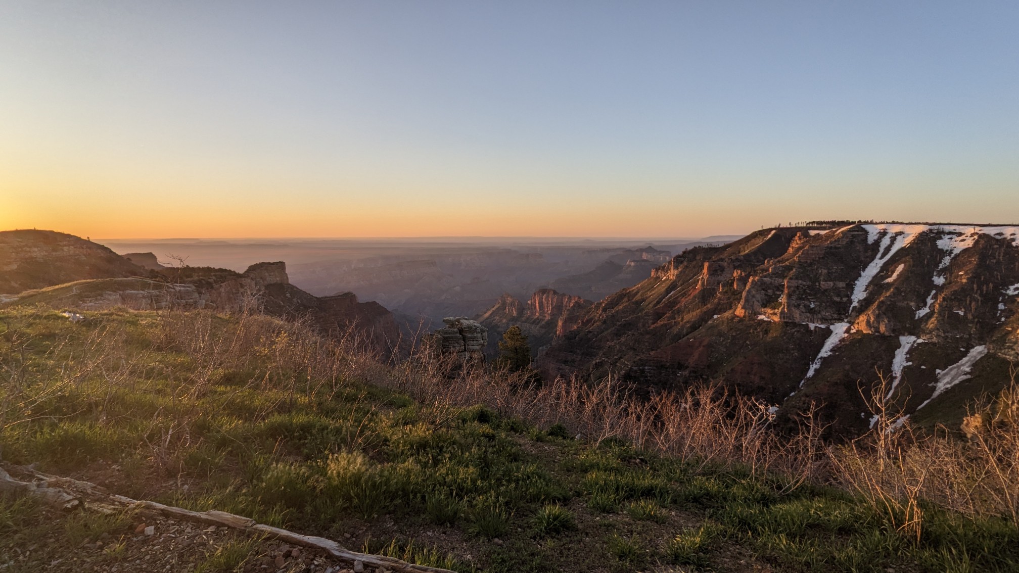
I was awake early, because I wanted to see the sunrise over the Canyon at 6am. It did not disappoint.
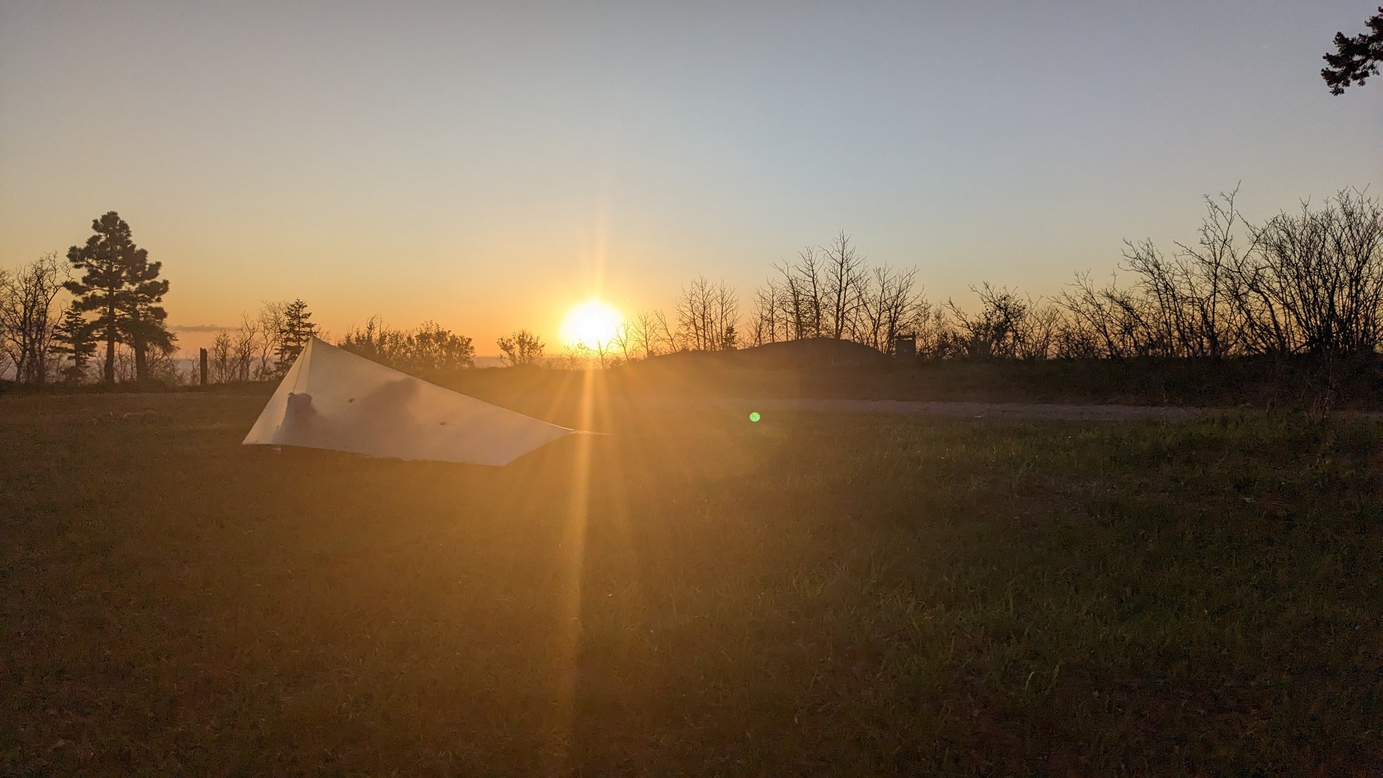
I walked back to the tents, Shadow was just waking up.
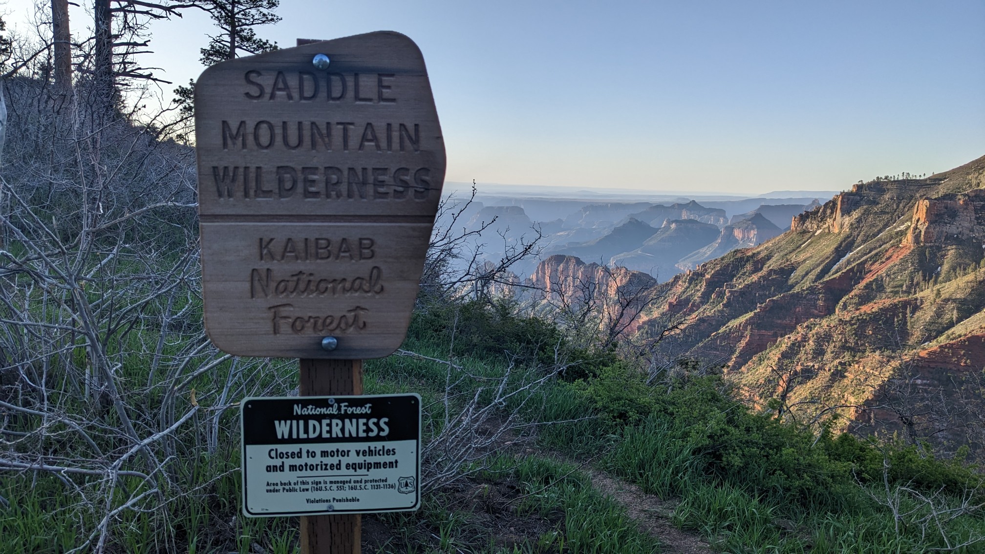
We walked by where Enigma was camping and said goodbye, and hit the trail at 7am. Right away we entered the Saddle Mountain wilderness, I love seeing these wilderness signs.
First we had to hike up Saddle Mountain, where the views only got better.
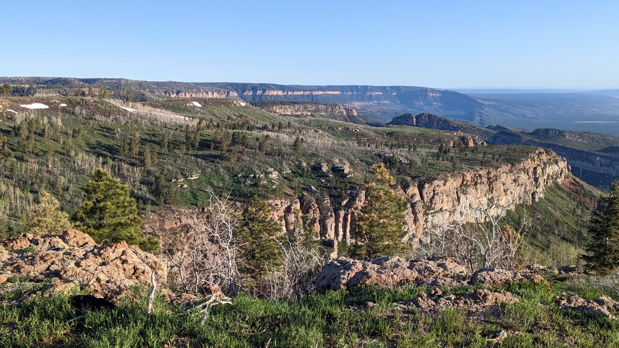
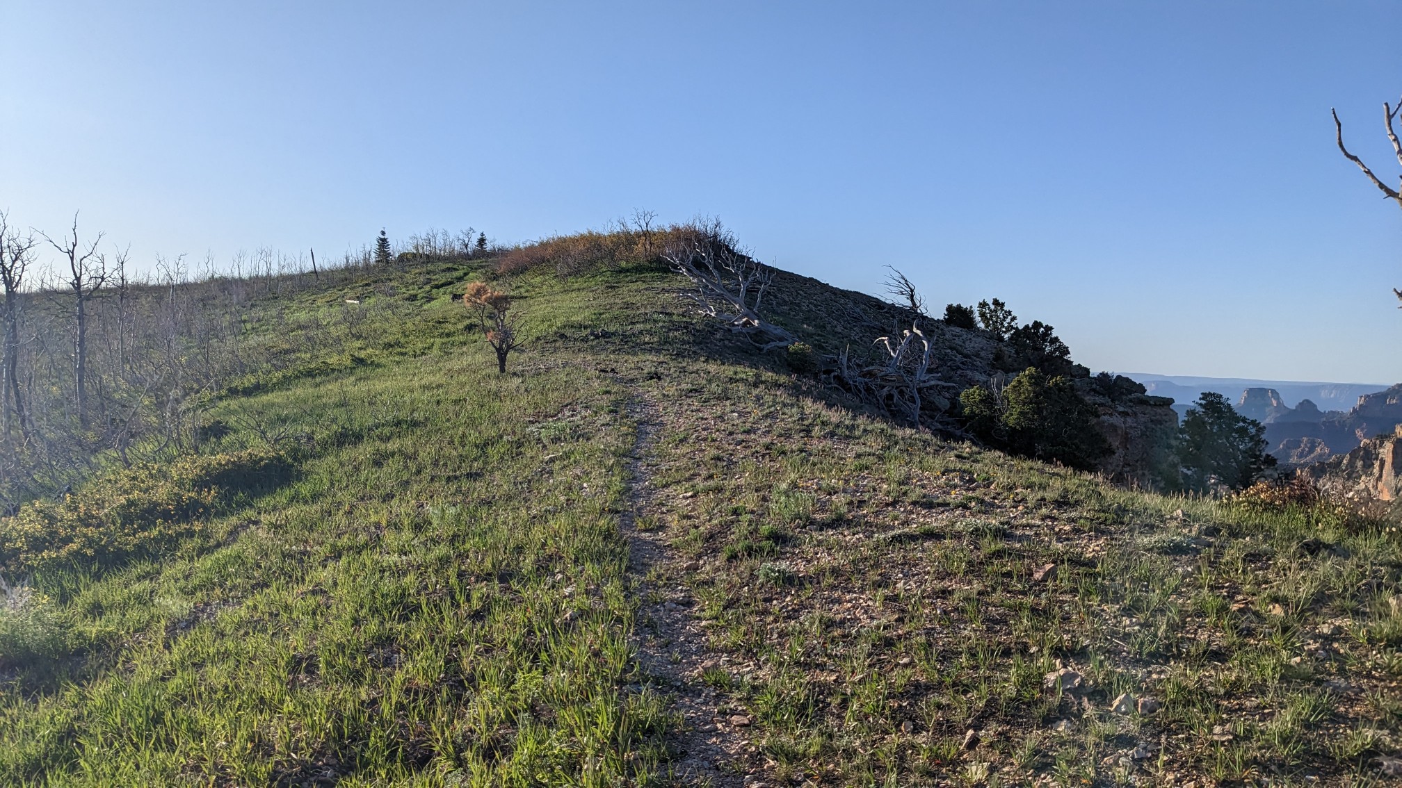
It was a very short climb, maybe only a few hundred feet, And then we started our very long descent to the Colorado River.
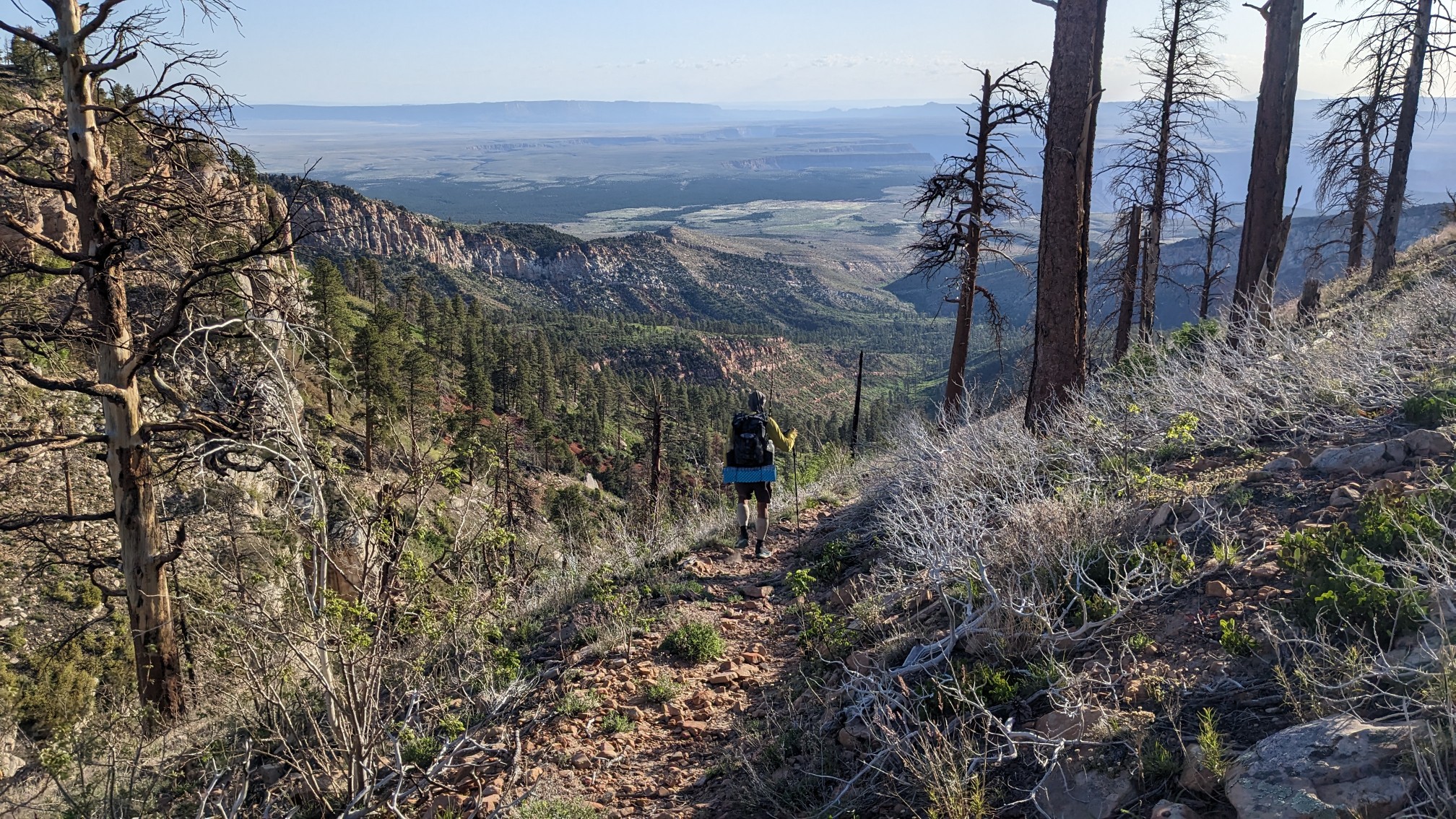
After two miles we came to a trail junction, and took a break.
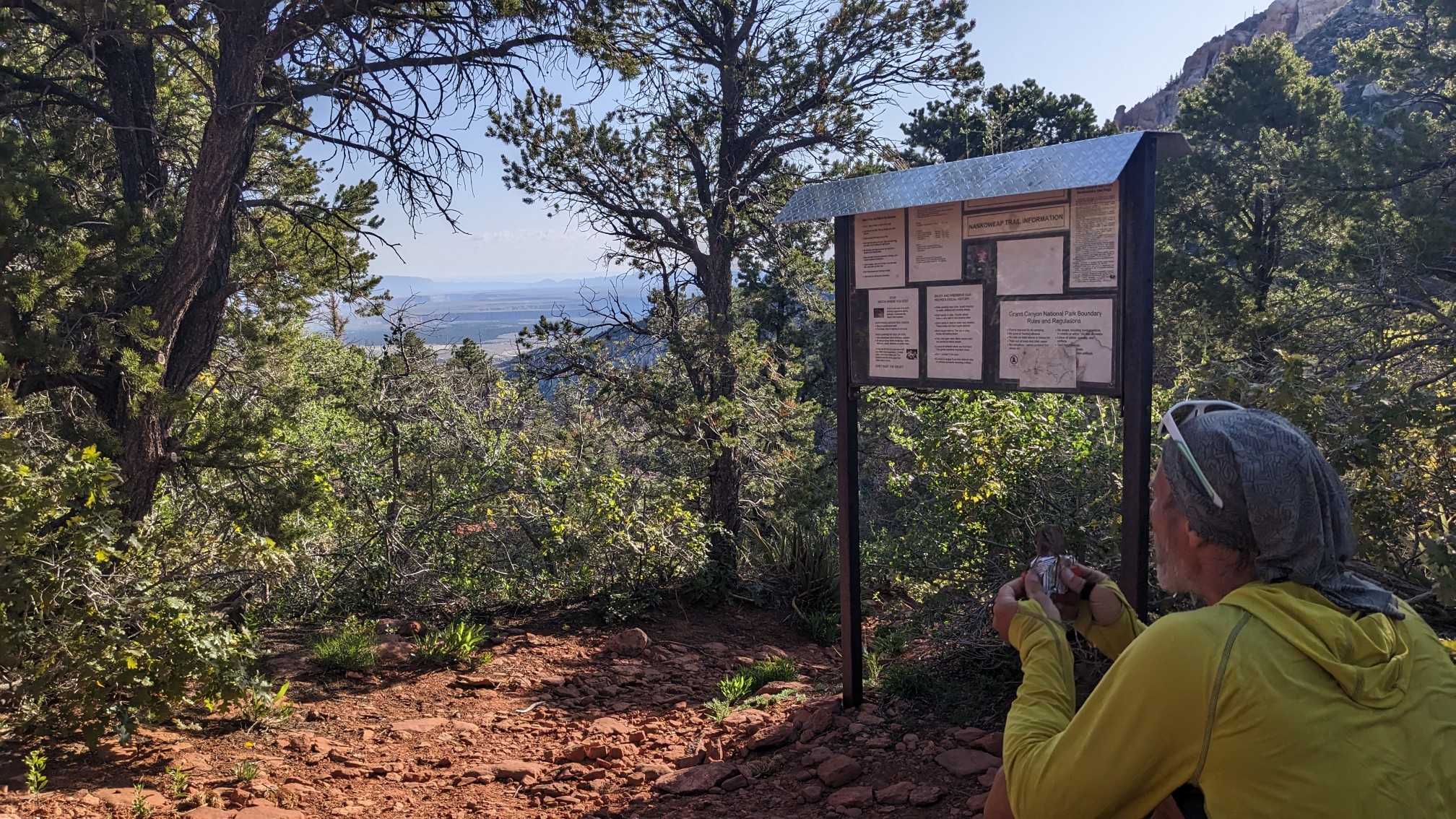
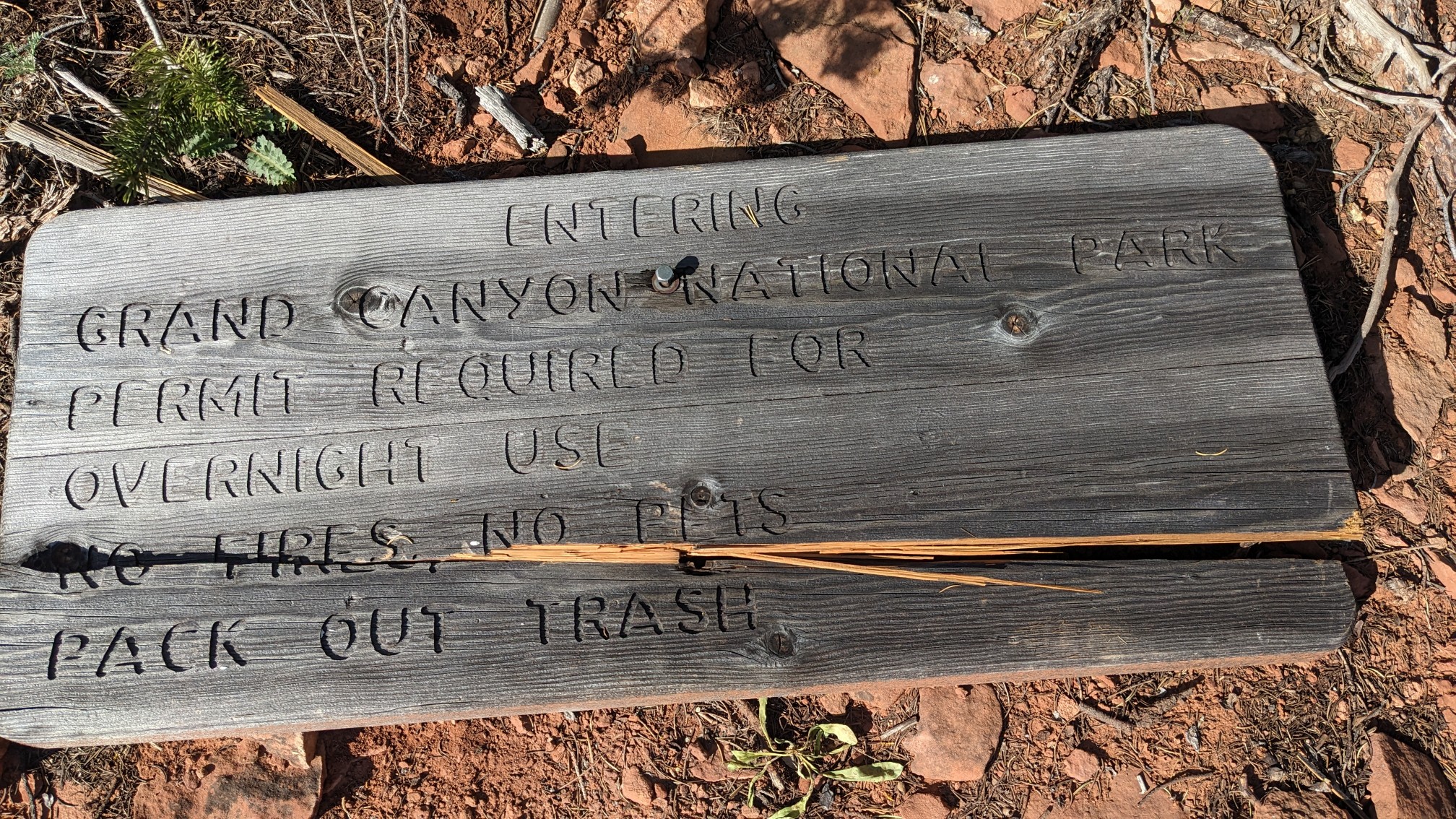
The sign had fallen down, but it said we just entered Grand Canyon National Park!
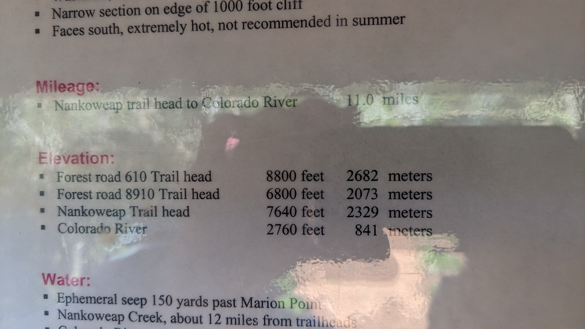
And this little sign about elevation was a little eye-opening. We were descending 6,000 vertical feet to the Colorado River! (Sorry knees!)
The trail dropped down a little bit to a shelf on the side of the cliff.
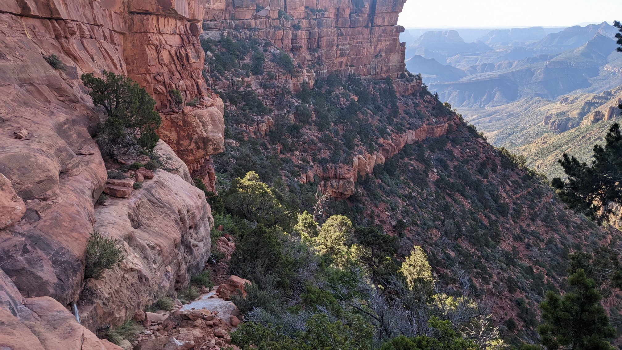
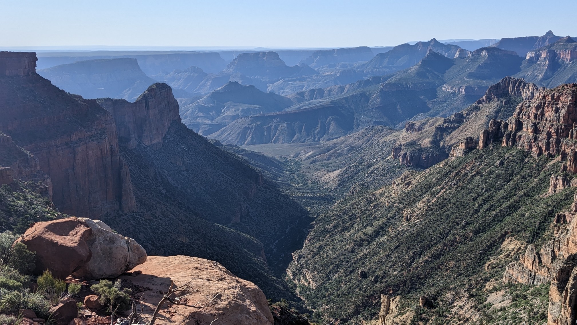
We contoured around the cliffs on this very narrow trail for a few miles. Some parts of it were only one shoe wide, so we made sure to focus on every footstep.
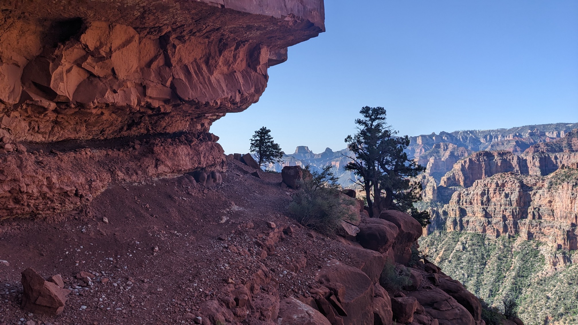
After more than an hour of that mentally taxing hiking, we came to Marion Point, and took a break.
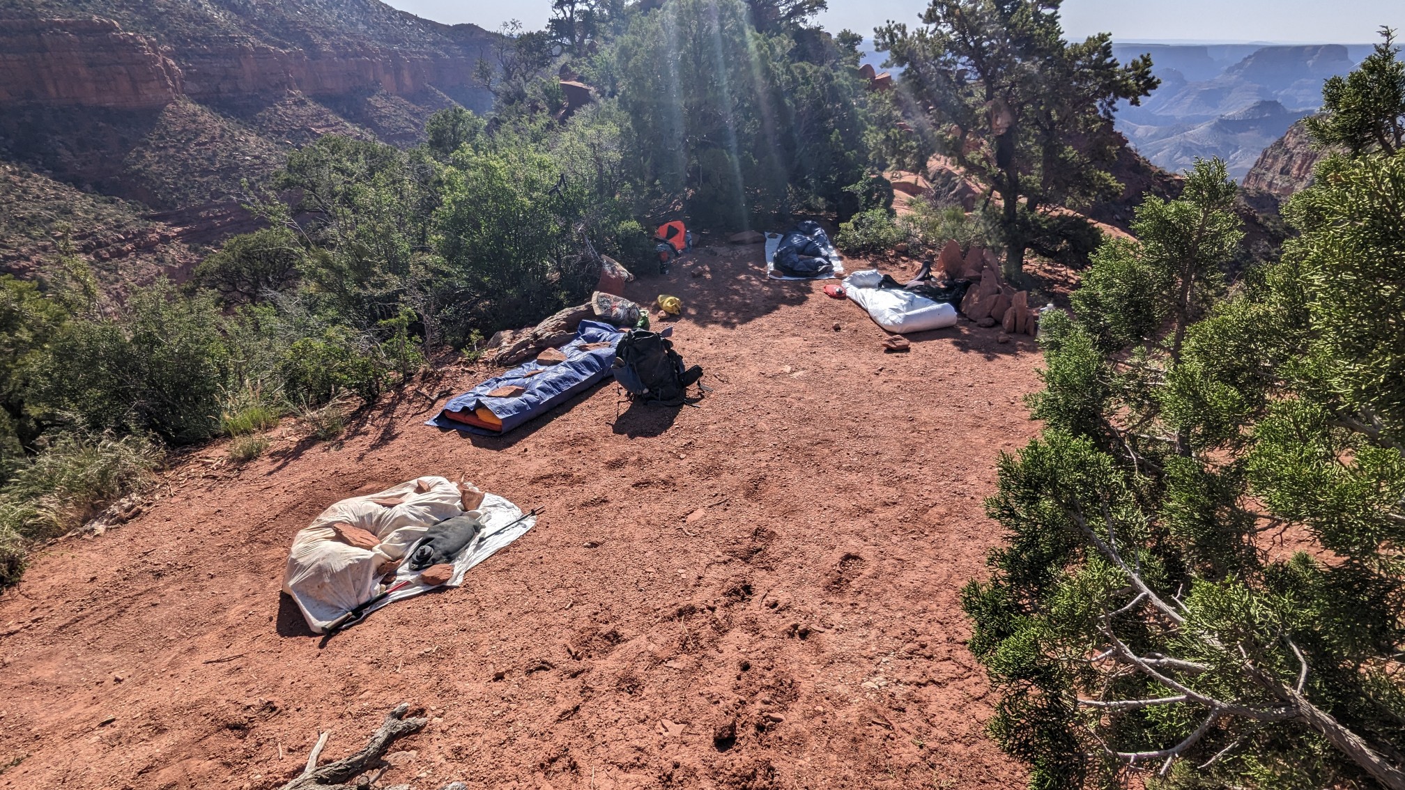
Apparently a small team of cave researchers had set up camp here for the week to explore the caves nearby. Neat! We enjoyed our snacks and drinks in the shade, and eventually continued on the narrow trail.
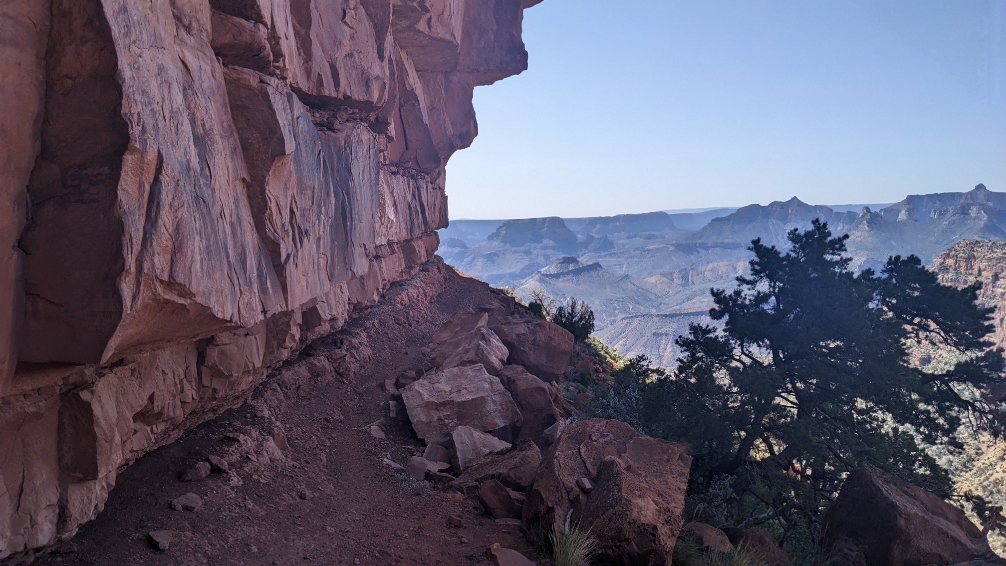
The Nankoweap trail is described as the park’s most difficult trail, and not suitable for people with a fear of heights. I think that description is very accurate.
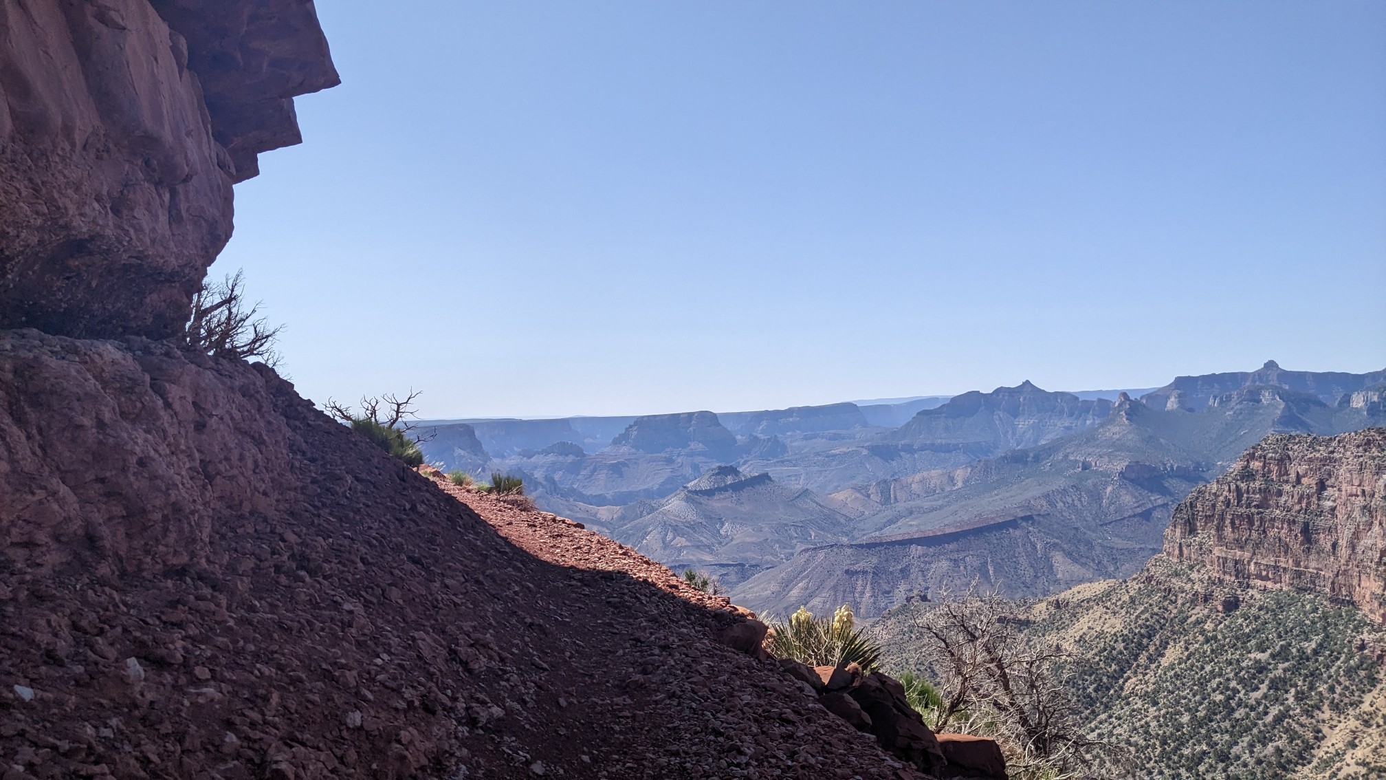
Shadow hiking on the trail behind me.
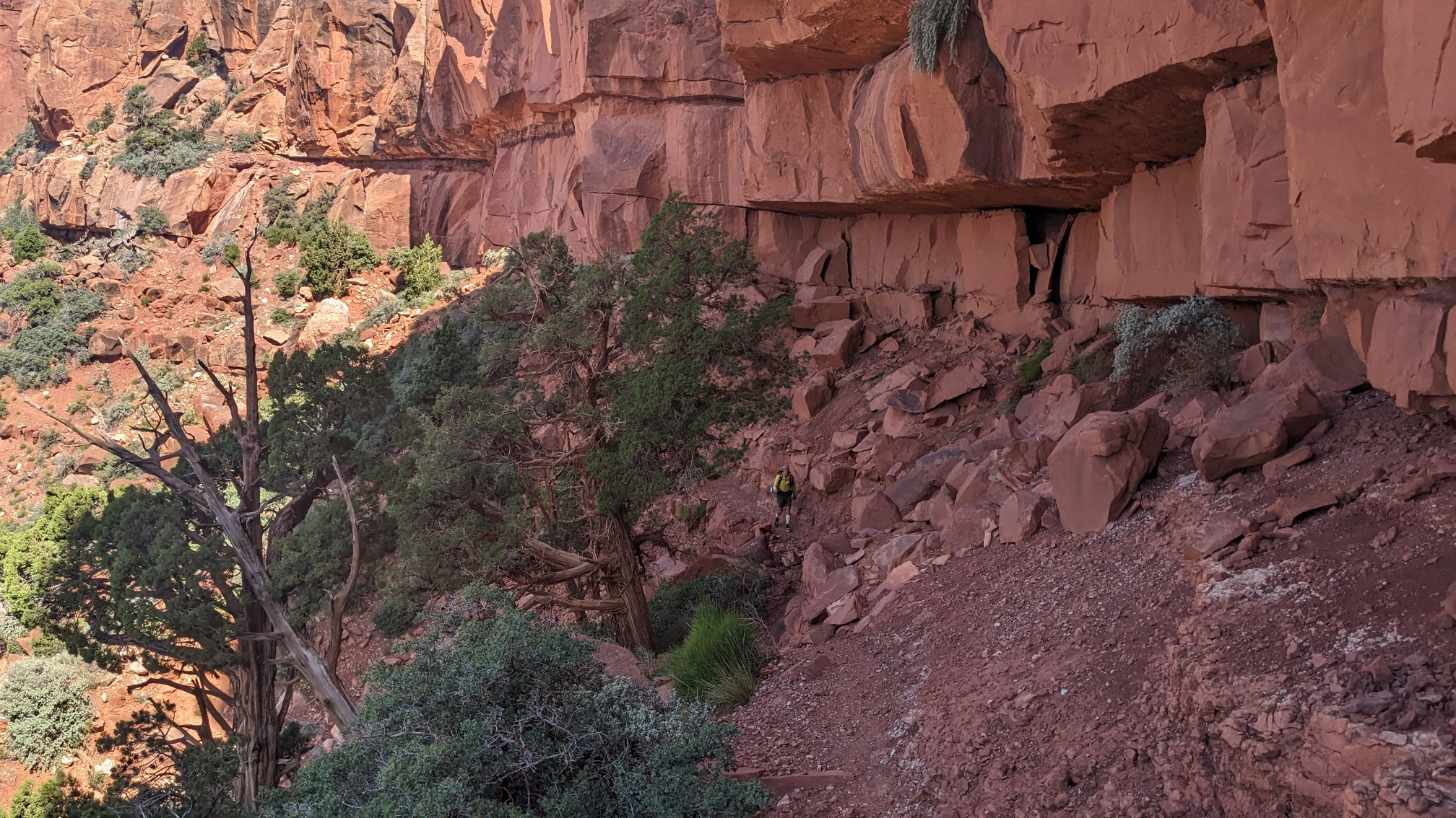
Finally, the trail rounded a corner and I saw the end of the cliff section.
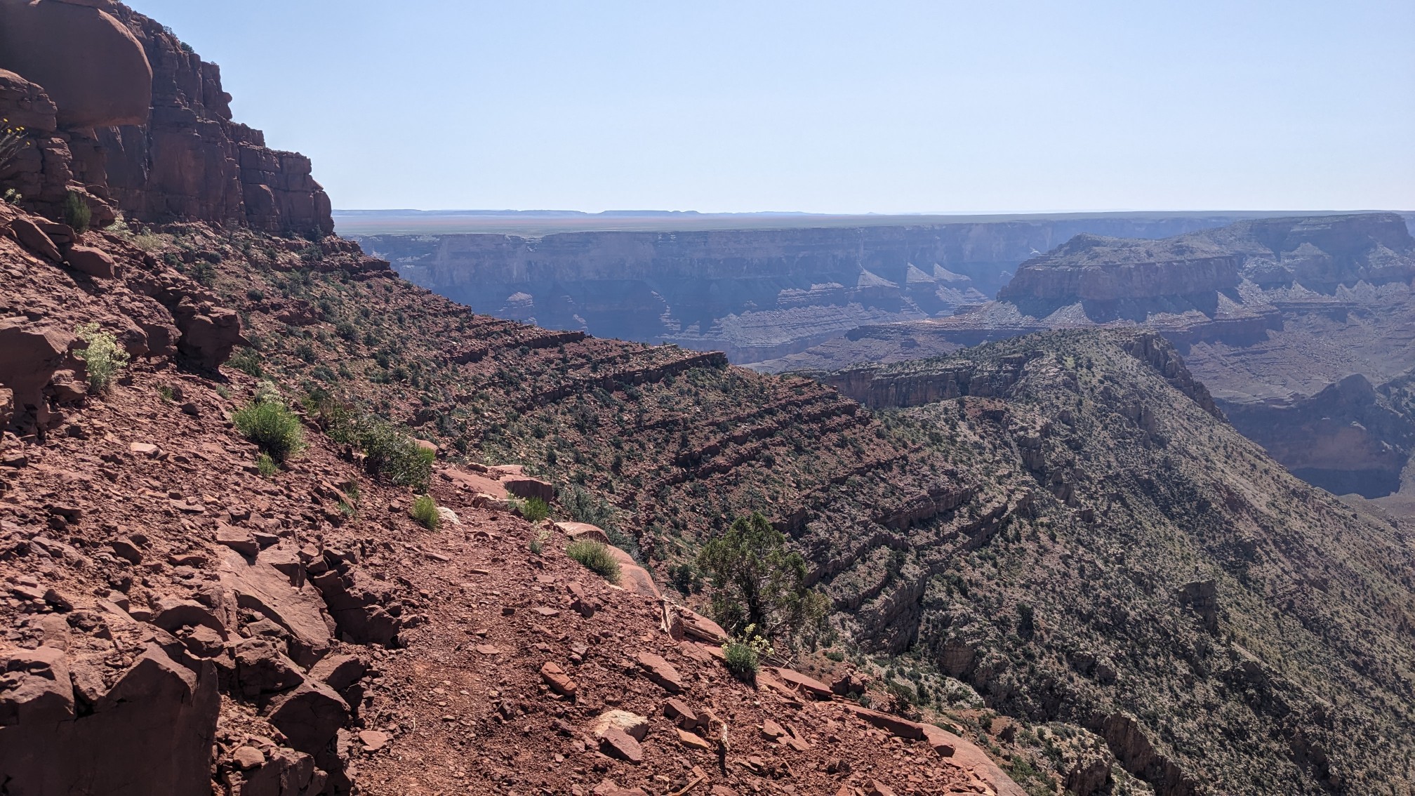
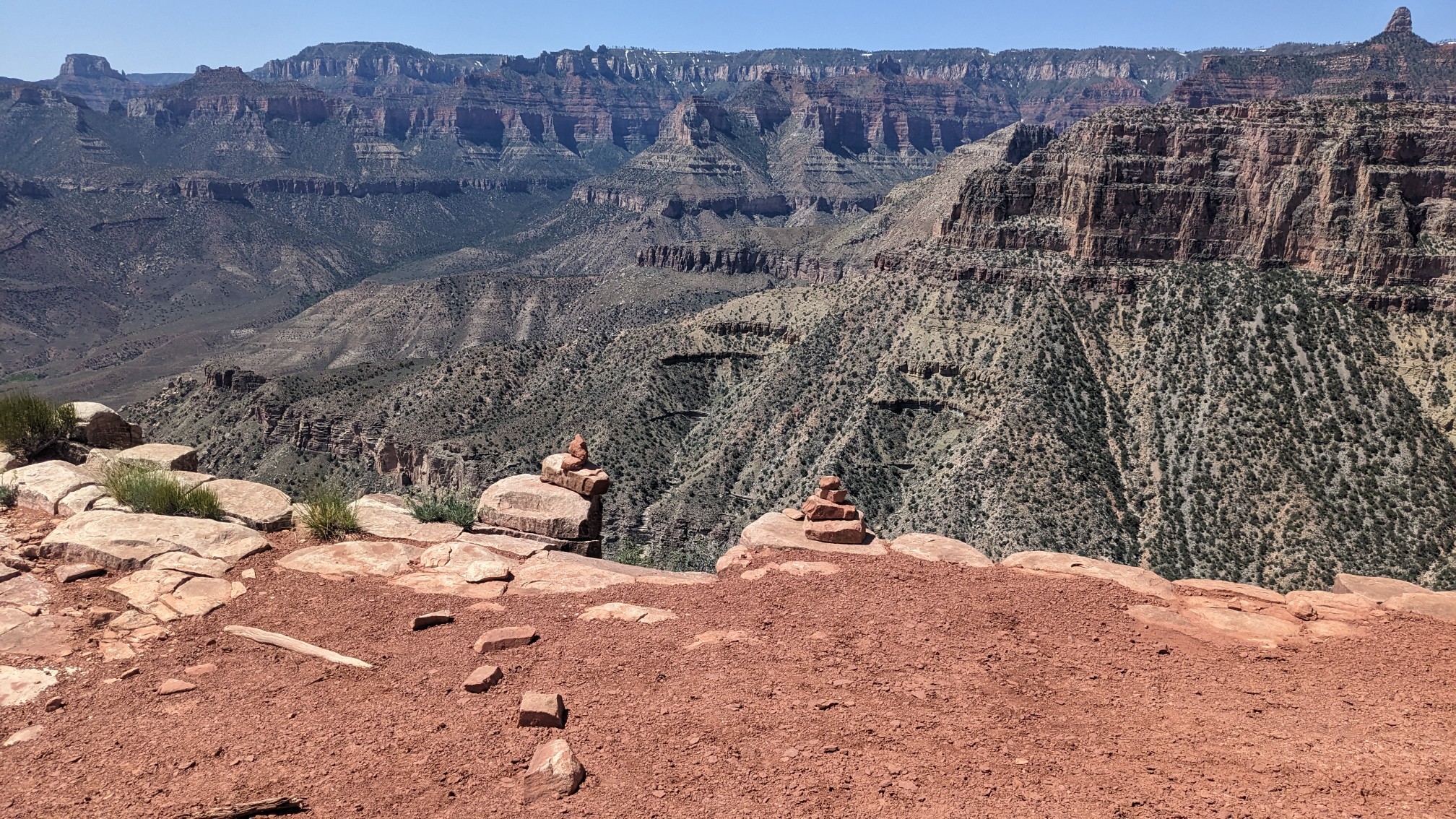
We walked on the top of the wide ridge for a short while, and then descended down one side of it. The exit point from the ridge was pretty clearly marked, I love it.
We switchbacked down the side of the ridge, getting new views at every turn.
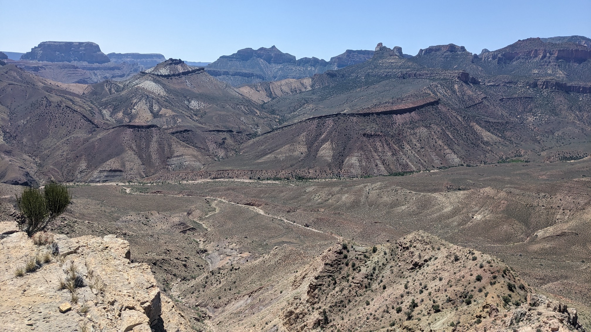
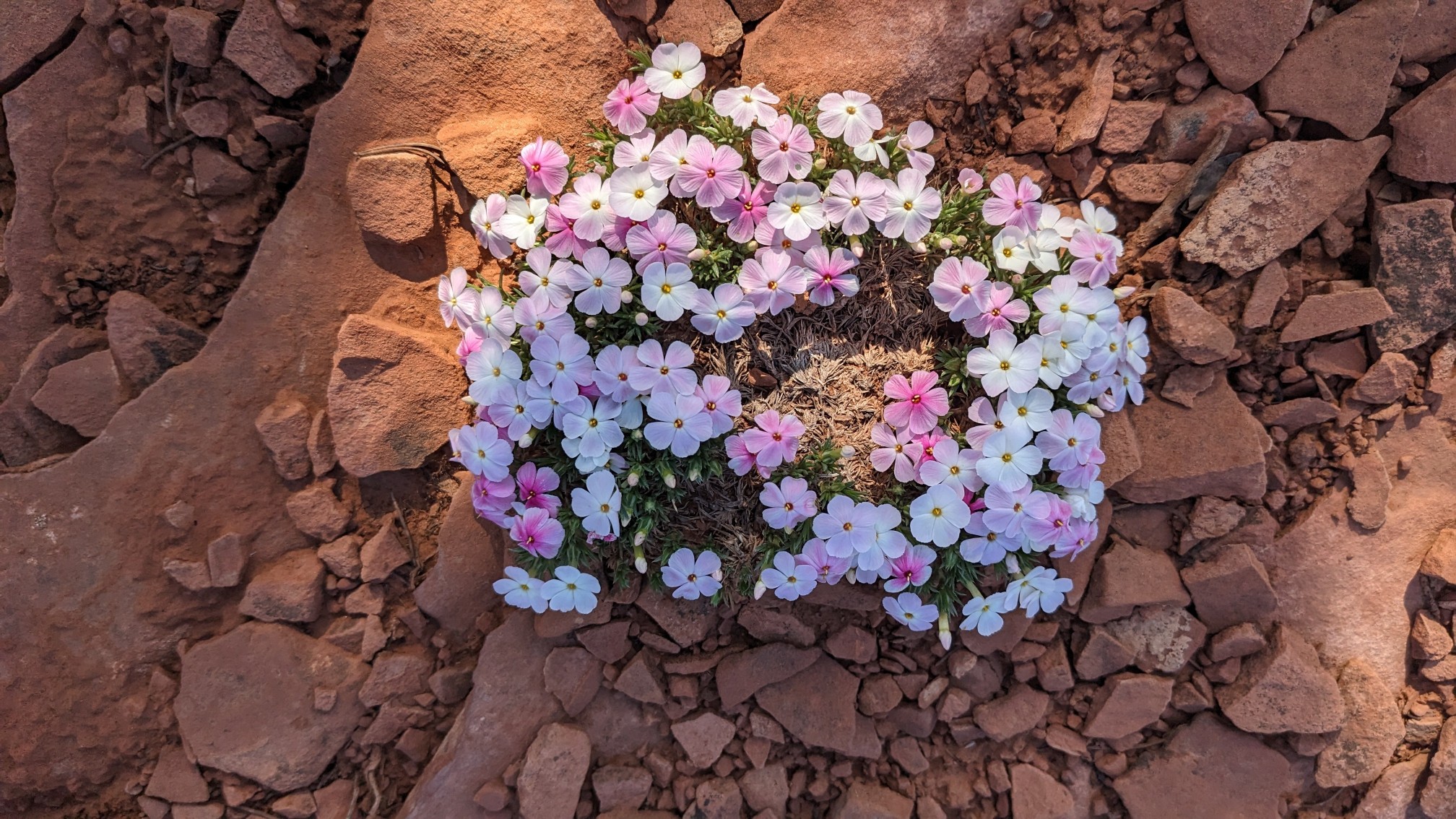
We had descended low enough to start seeing a completely different plant community. And the prickly pear cactus were blooming everywhere!
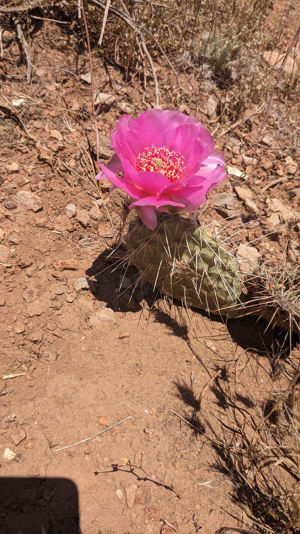
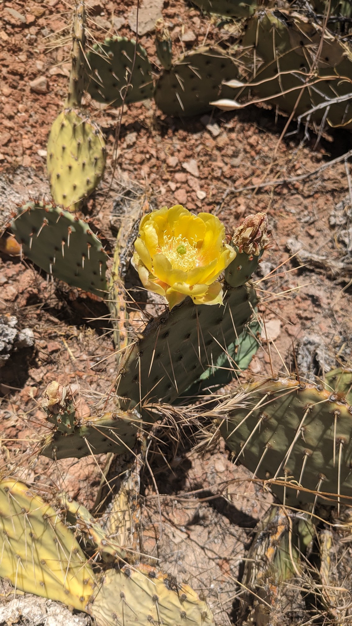
These flowers were pretty fancy looking too.
Finally we had descended all the way down to Nankoweap Creek.
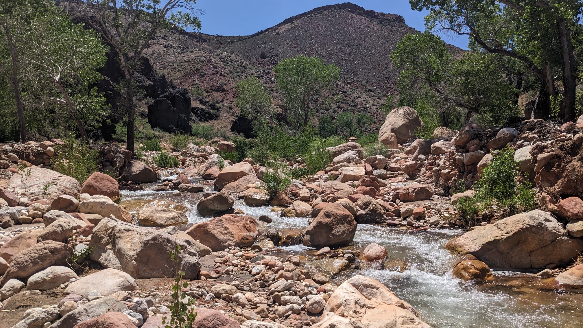
Even though it was after lunch time, I was so excited about getting cold water, I completely forgot to eat lunch. Oops. We hiked down the creek for a couple of miles.
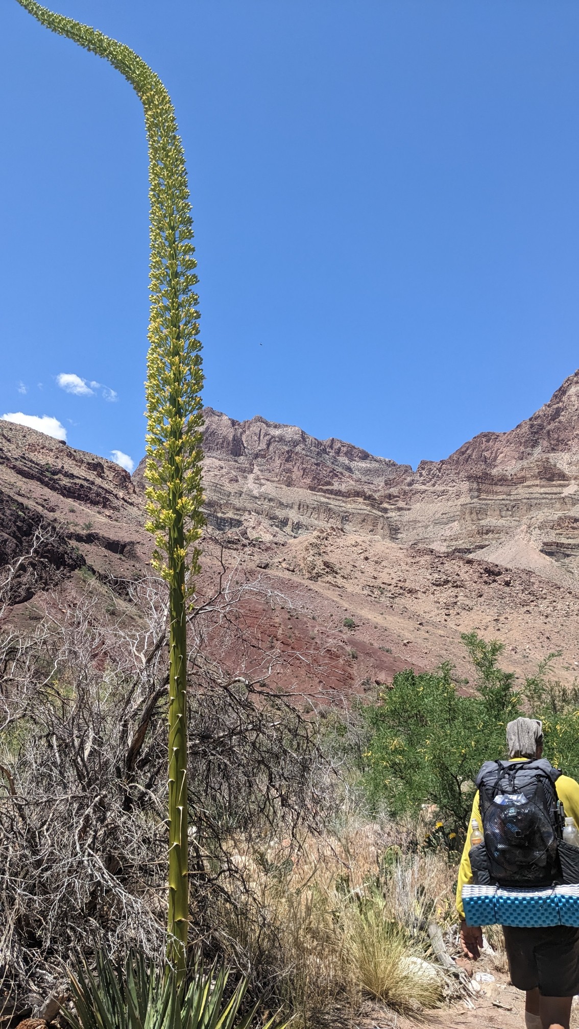
Some of these desert plants had really tall things growing out of their center.
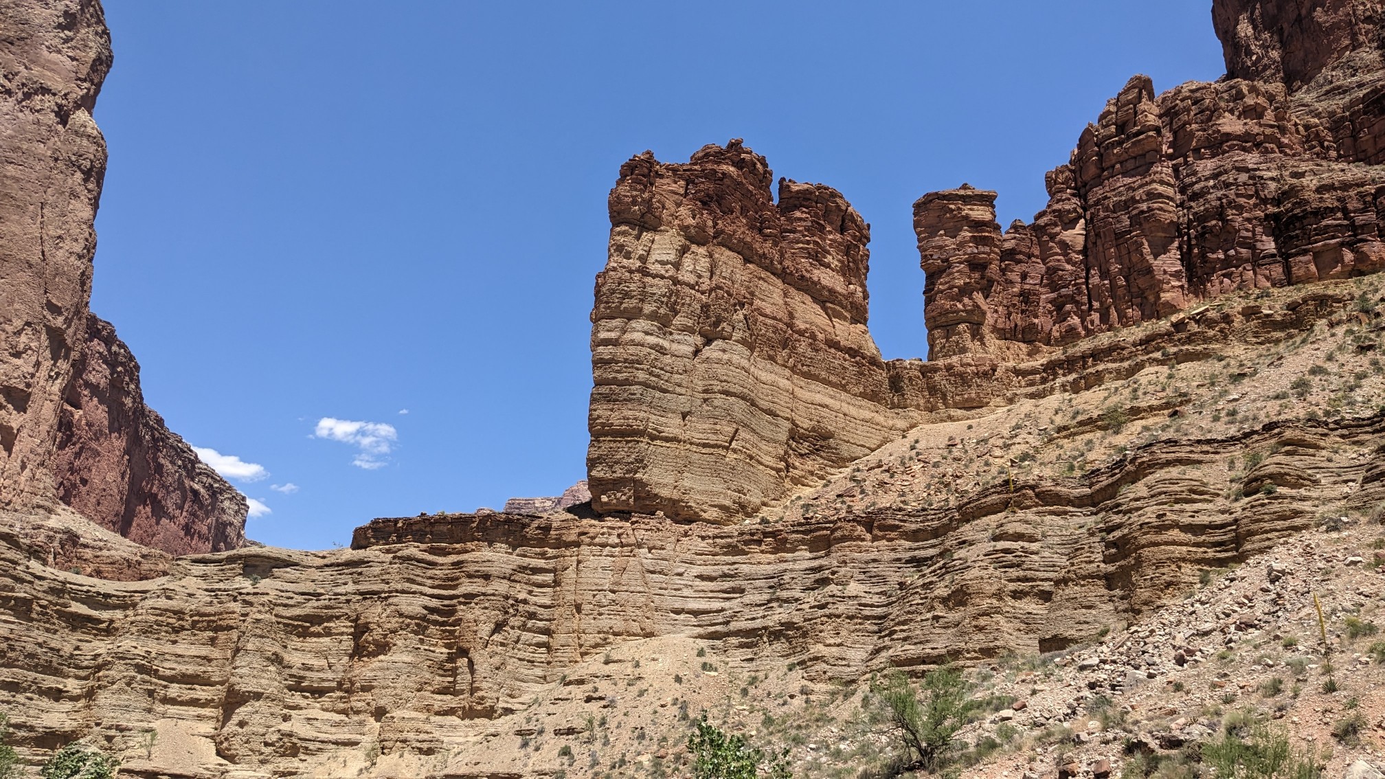
I thought this cliff looked like a castle.
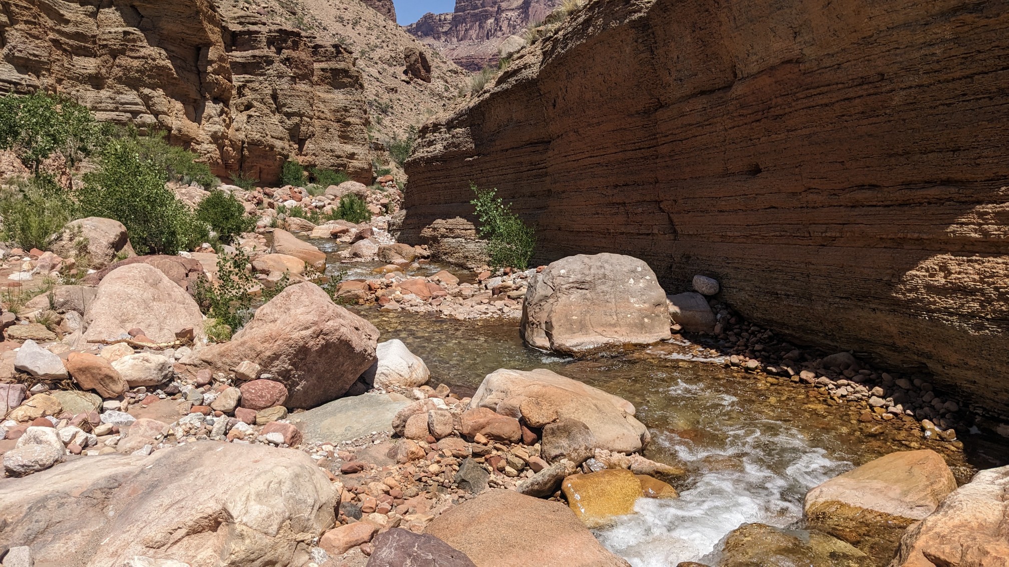
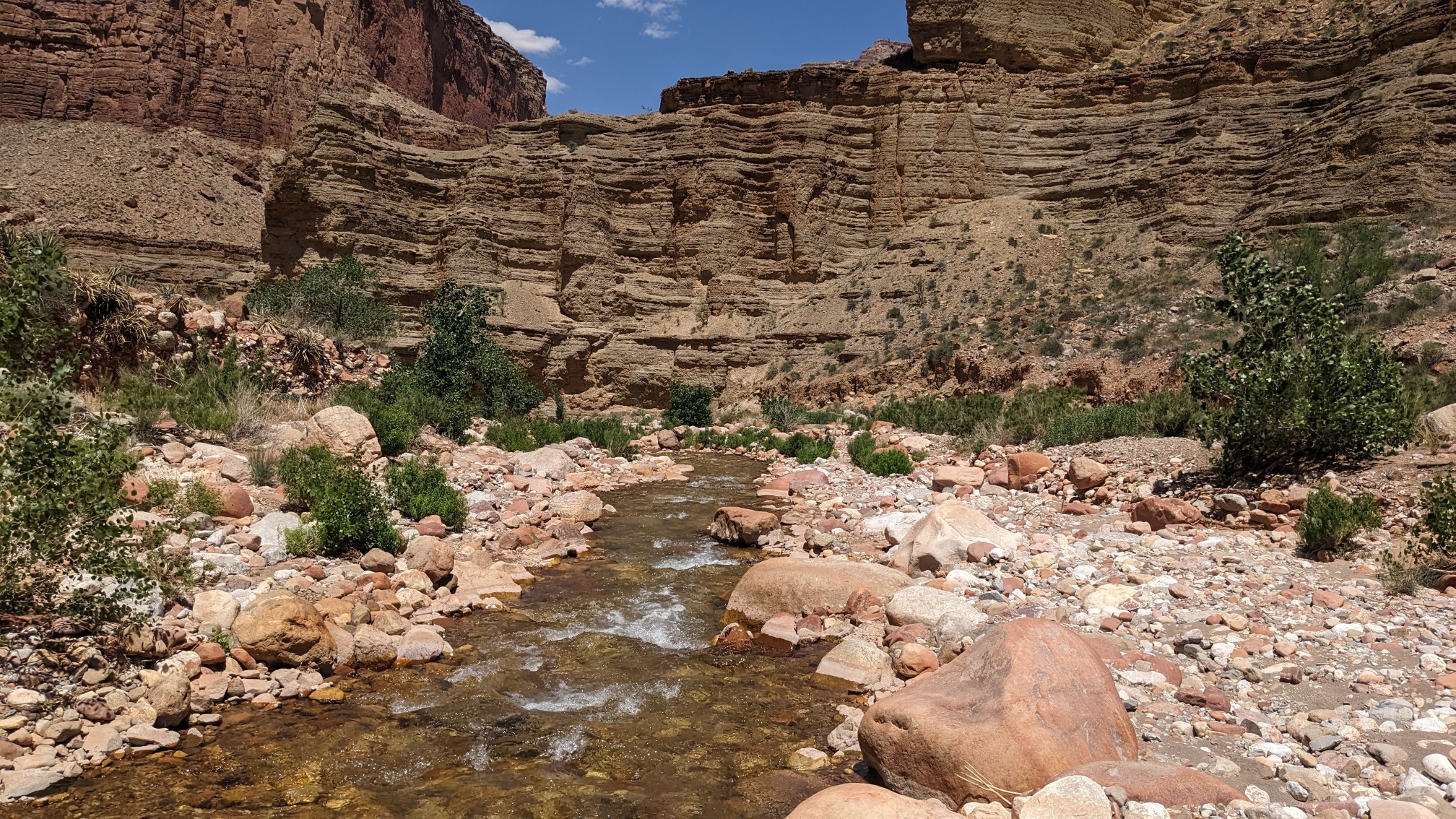
We kept walking along Nankoweap Creek all the way down to the Colorado River.
Down along the shores of the river, the prickly pear cactuses were everywhere.
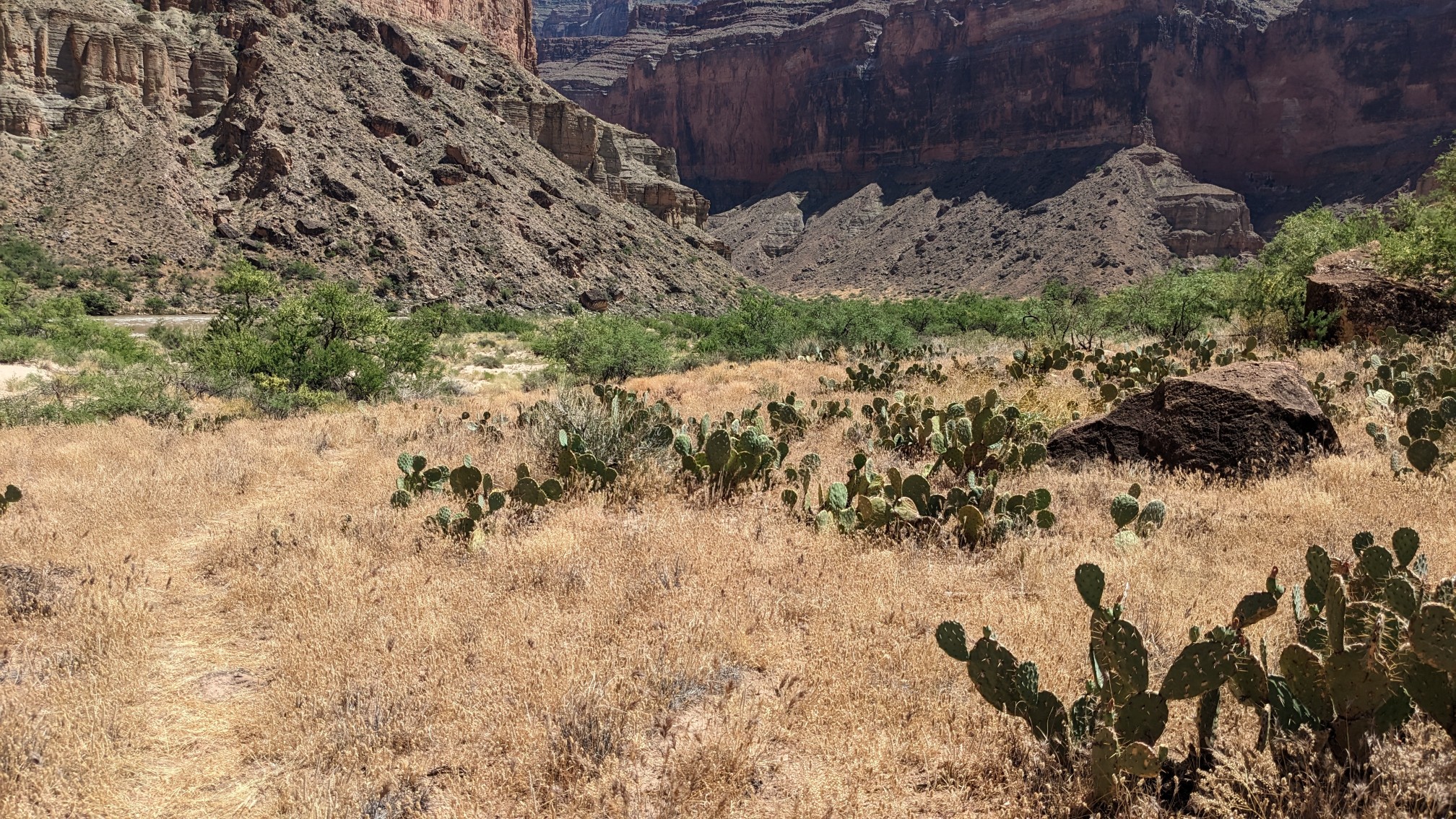
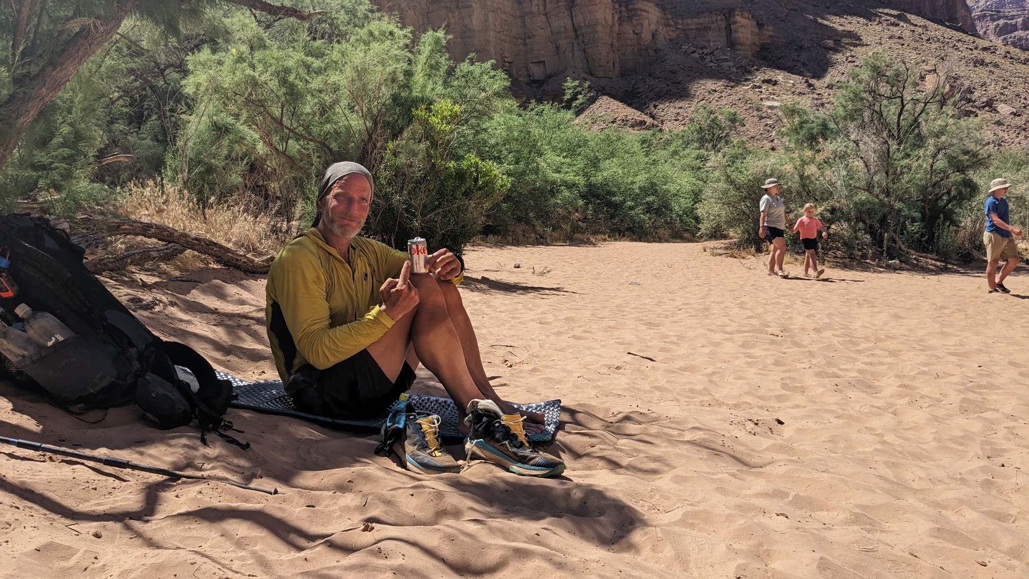
We had to hike along the shores of the Colorado for a half mile to a designated camping area. Many rafting parties use these campsites as well, and we met a private group from Idaho who had just pulled up as well. They gave us cold drinks!
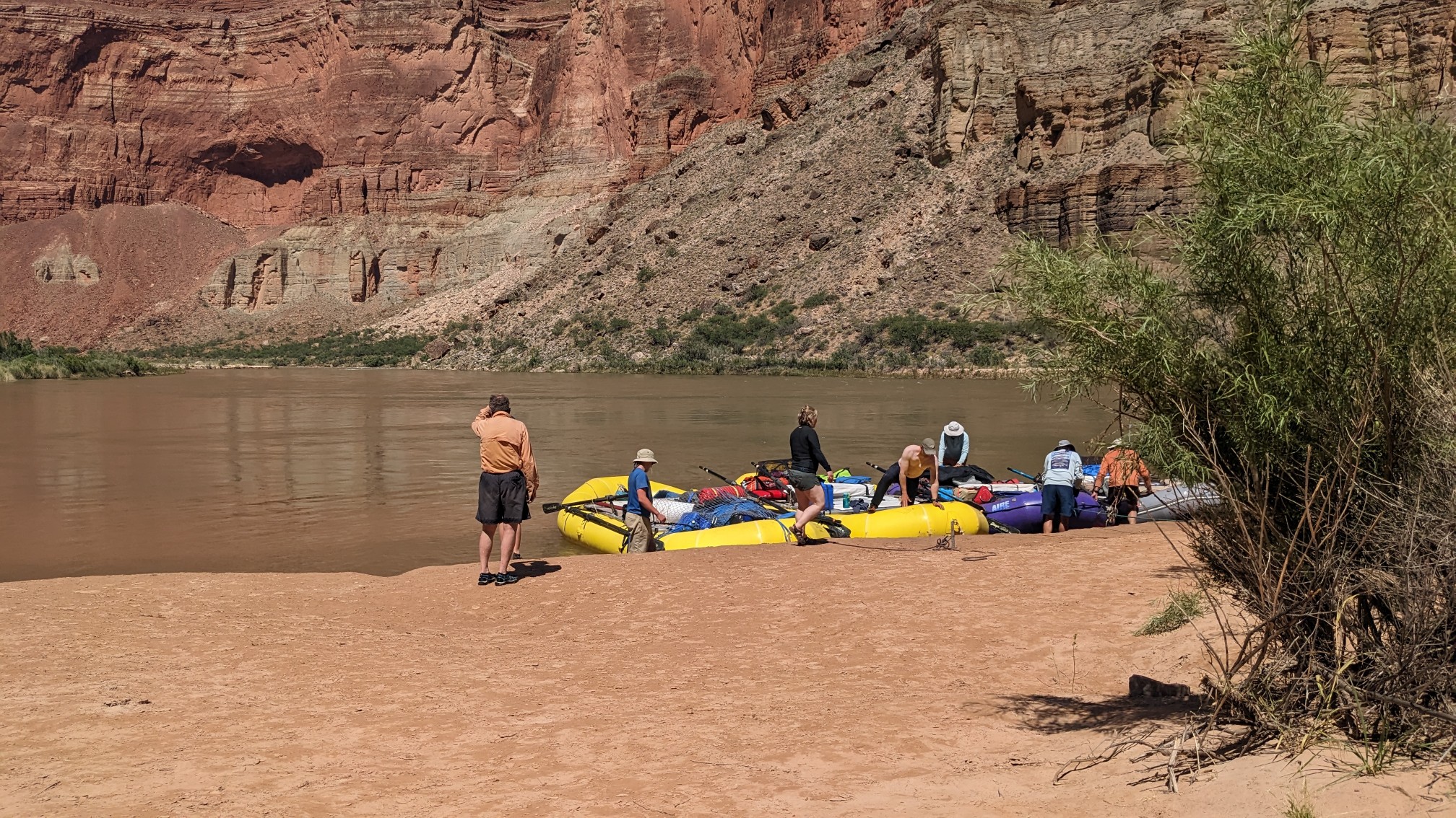
We offer to help them unload their boats, but no help was needed they seemed to have their routine very practiced.
We sat around and watched the sunset on the Canyon walls.
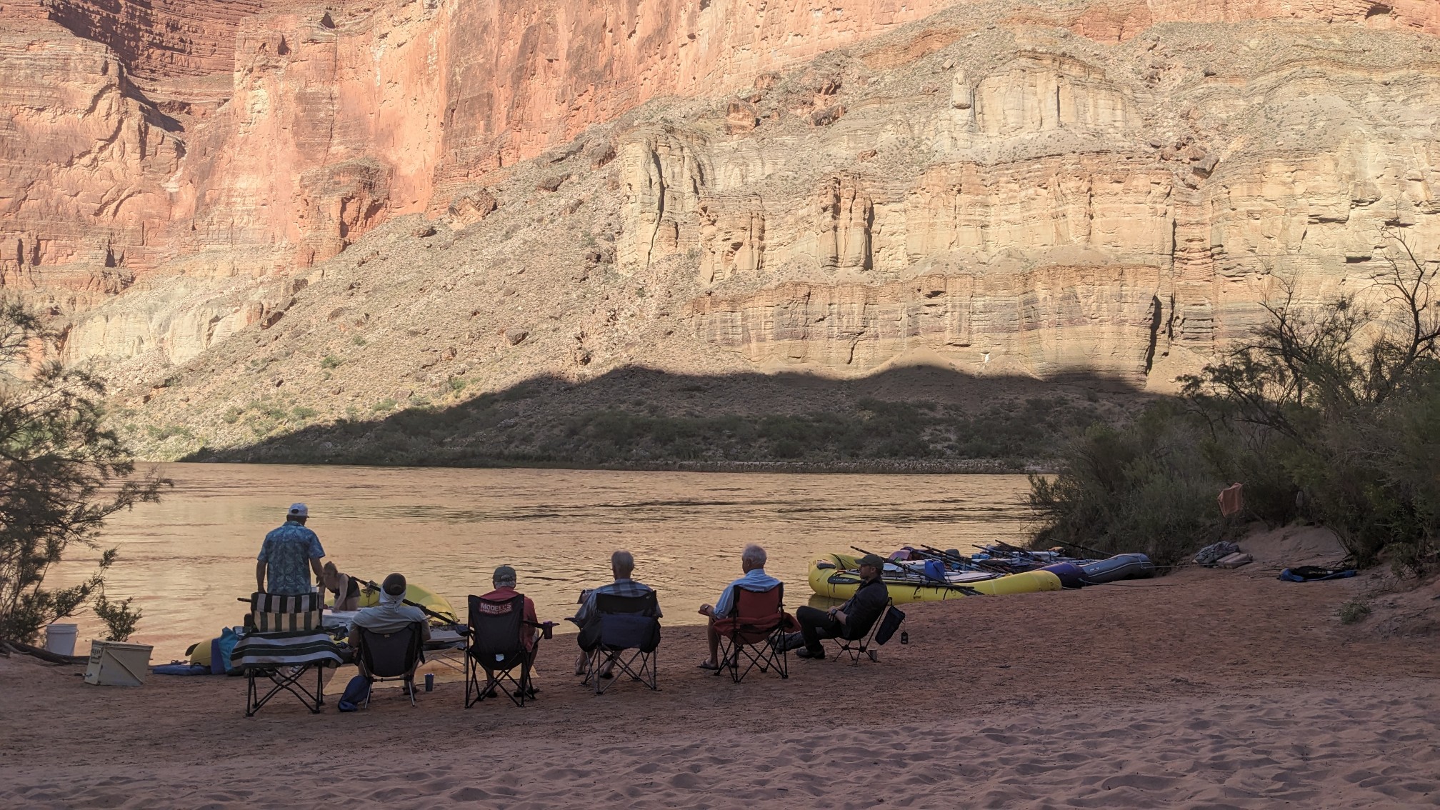
After Shadow and I ate our dinners, we were invited over to help them finish their leftover food. Amazing!
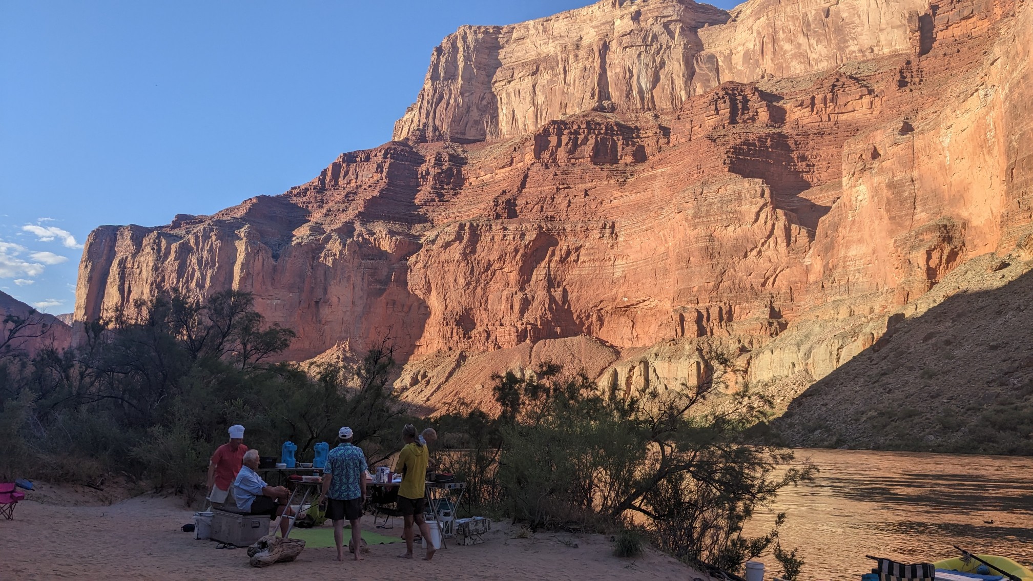
This was one of the most remote and unusual spots I’ve ever had for trail magic. We sat around for a while after dinner and chatted, they were a fun group to talk to. Eventually the sun set and I walked over to my tent to go to bed.
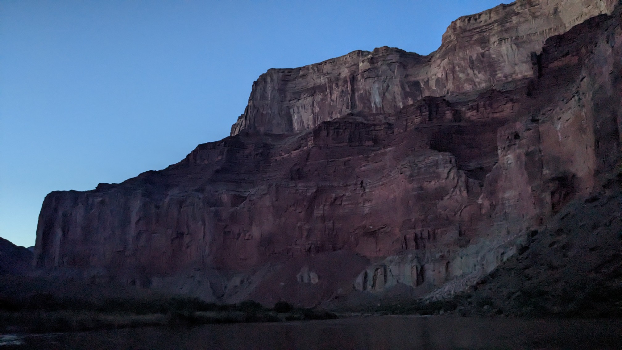
Even after sunset, the Canyon walls kind of glowed for a while, it was surreal to see.
Even though we didn’t hike that many miles, it was a very long tiring day, more mentally tiring than anything. Tomorrow there is a 9-mile stretch along the Colorado River, which is usually a hike/bushwhack. But with the water running so high this year, we will need to hitchhike in a raft down to our next trail junction. Hopefully we can get a ride quickly!
Wow! A little scary I think!