Thursday June 1, 14.7mi/23.7km
South Kaibab Trailhead (639.9/7175ft) to Cottonwood Campground (649.1/4060ft) (AZ) + 4.4mi South Kaibab Trail, +1.1mi GPS correction
I spent the morning getting ready for the next section, which should take 7 days. I took a shower, ate breakfast at the cafe again, and went to the general store and bought some more food. I had met a few Arizona trail hikers, and one of them wanted to hike with me for the next day across the canyon. I waited for an hour at our meeting spot, but she never showed up, so I eventually got on the shuttle bus to the trailhead. I started on the south Kaibab Trail at 2pm, and reversed what I had hiked up yesterday morning.
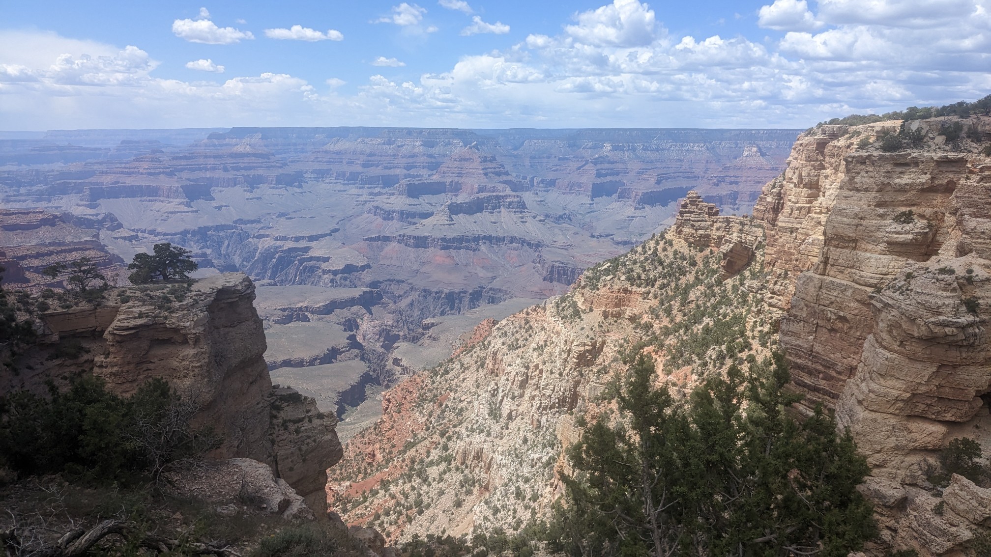
At a spot called Cedar Ridge, I met these three hikers at a viewpoint. They are from France and we were talking about various hikes to do in Europe, and they gave me a bunch of advice for one of my upcoming trails this summer, the Haute Route Pyrenees. Cool.
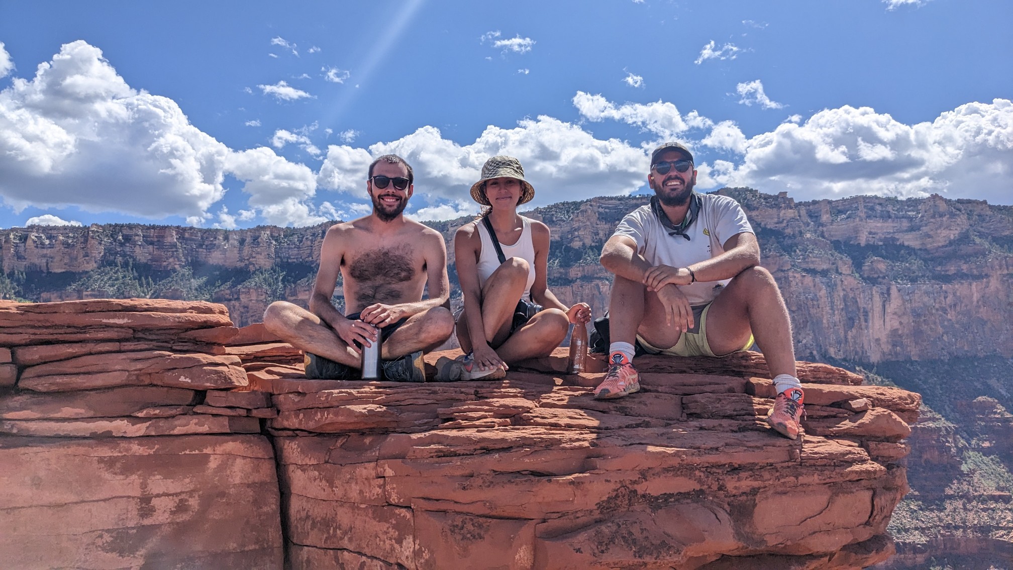
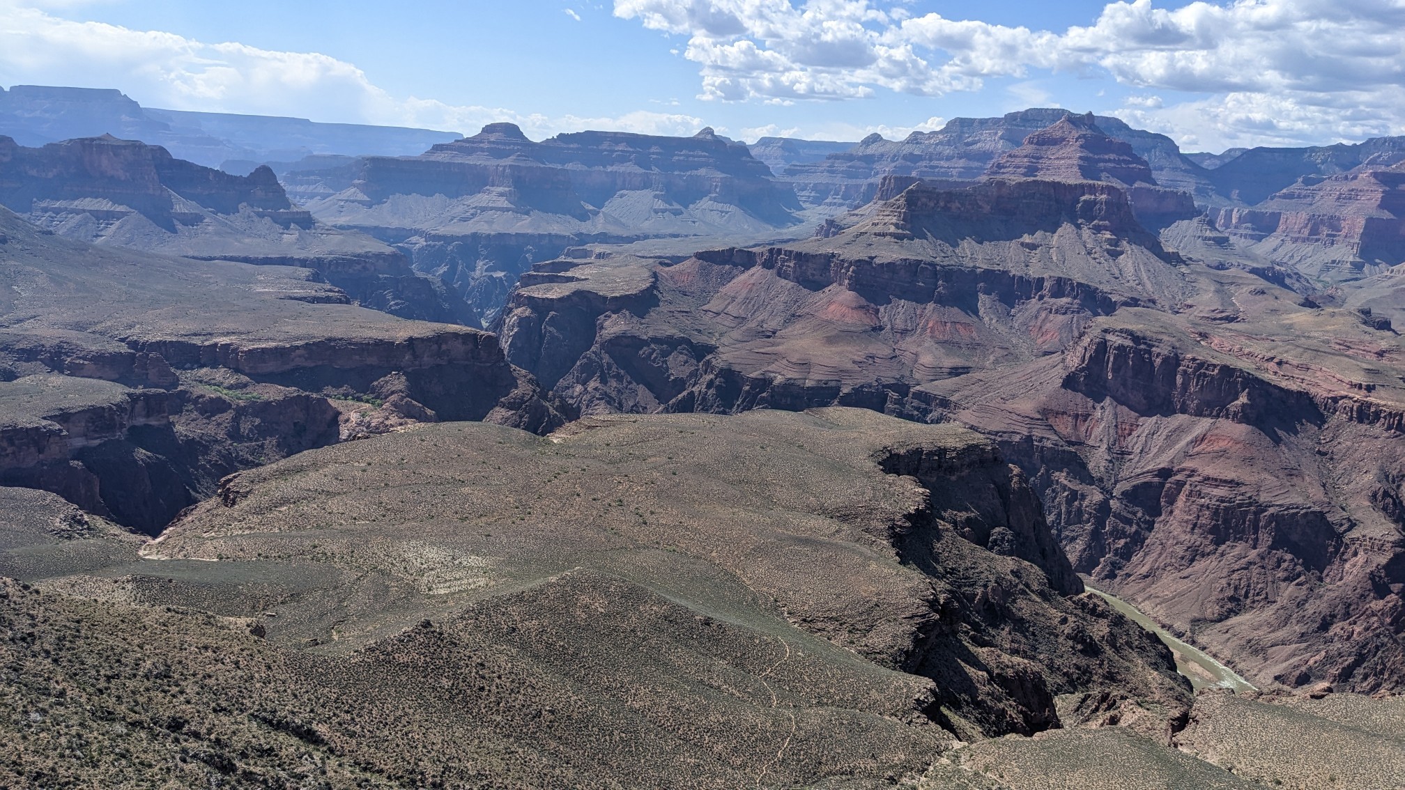
(Left to Right) Bastille, Milla, Paul. I continued hiking down into the canyon, and I saw a familiar scene, the Tonto shelf, that we had been hiking for the last 4 days.
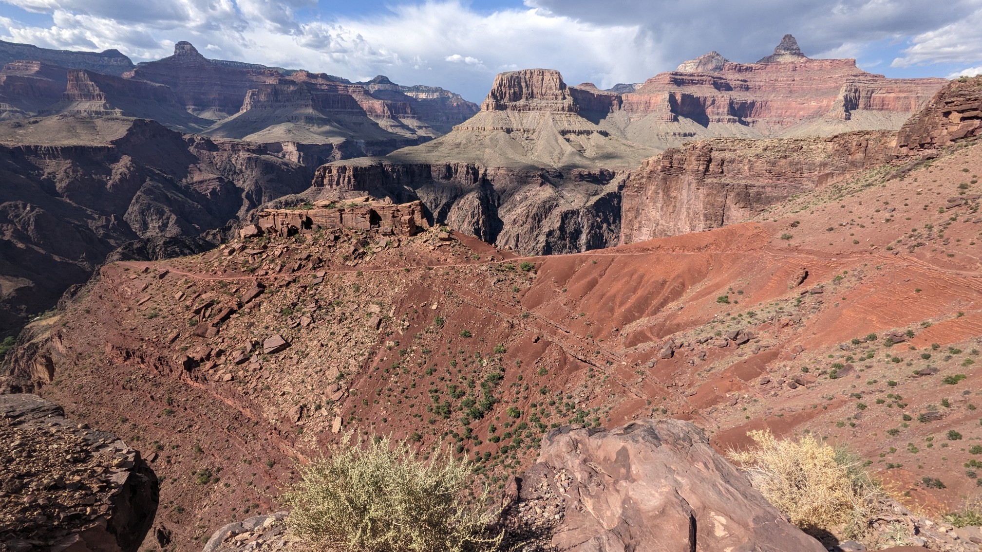
I continued further down, and the trail started to make a series of big switchbacks.
I was getting very close to the Colorado River again!
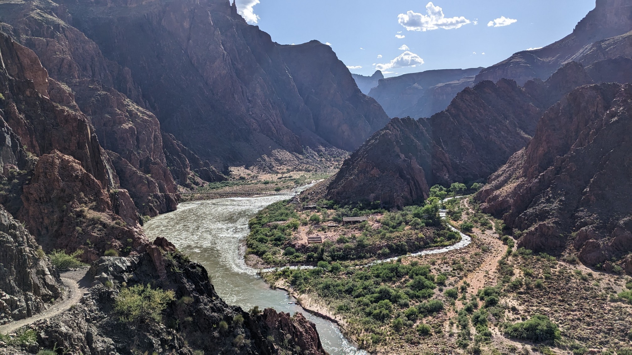
Trail junction with the Black Bridge in the background.
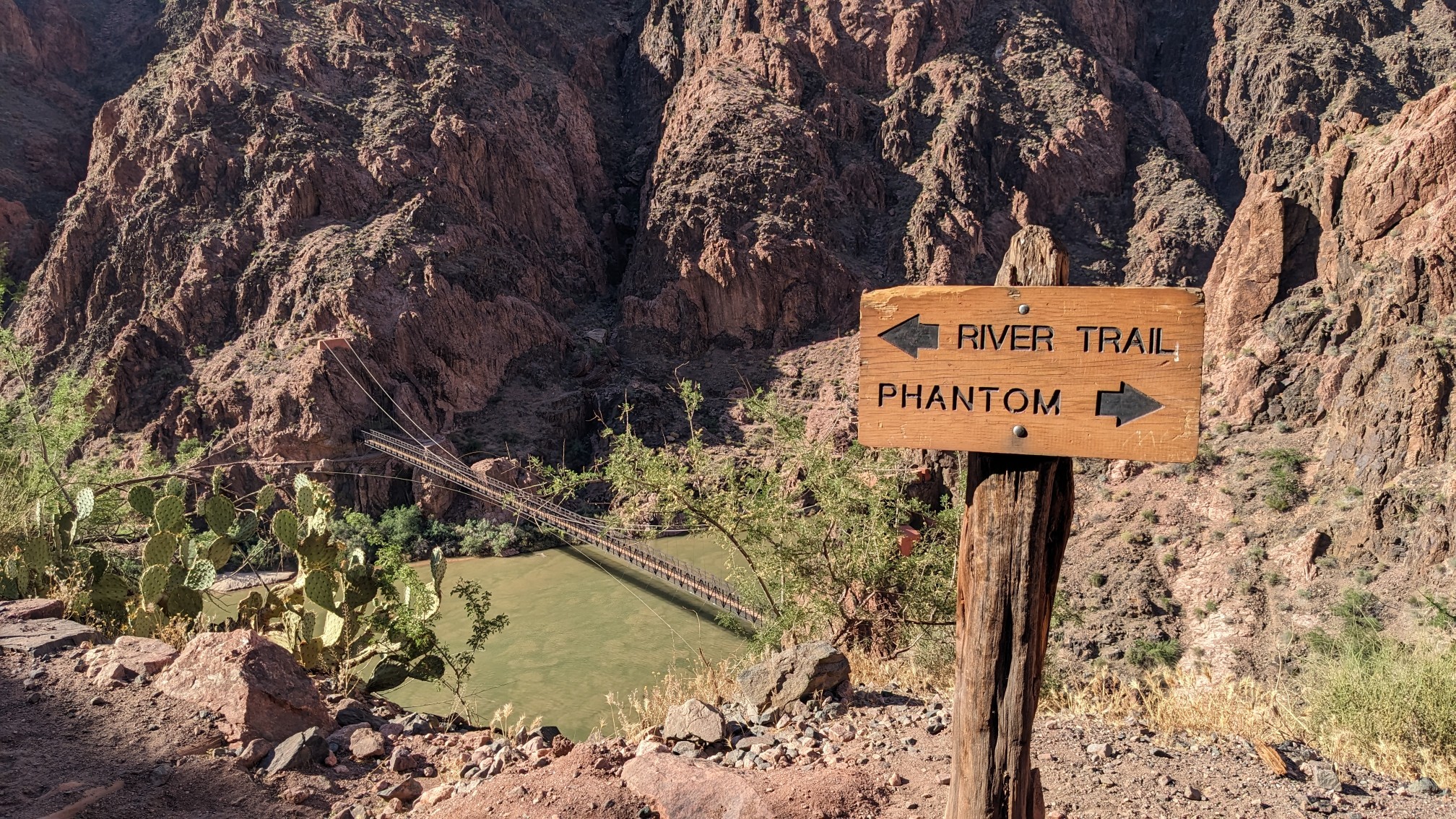
It is one of two pedestrian bridges across the Colorado River in the park.
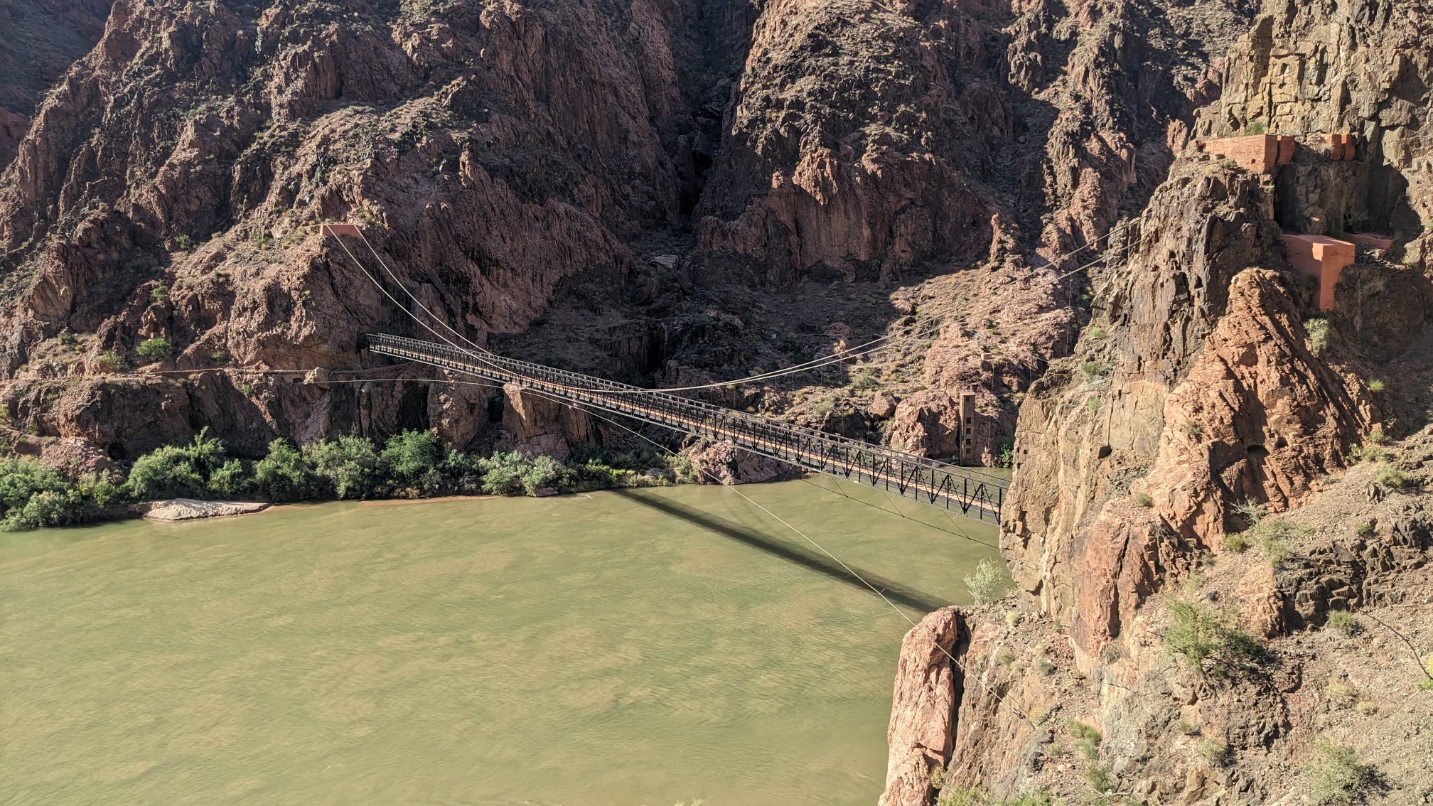
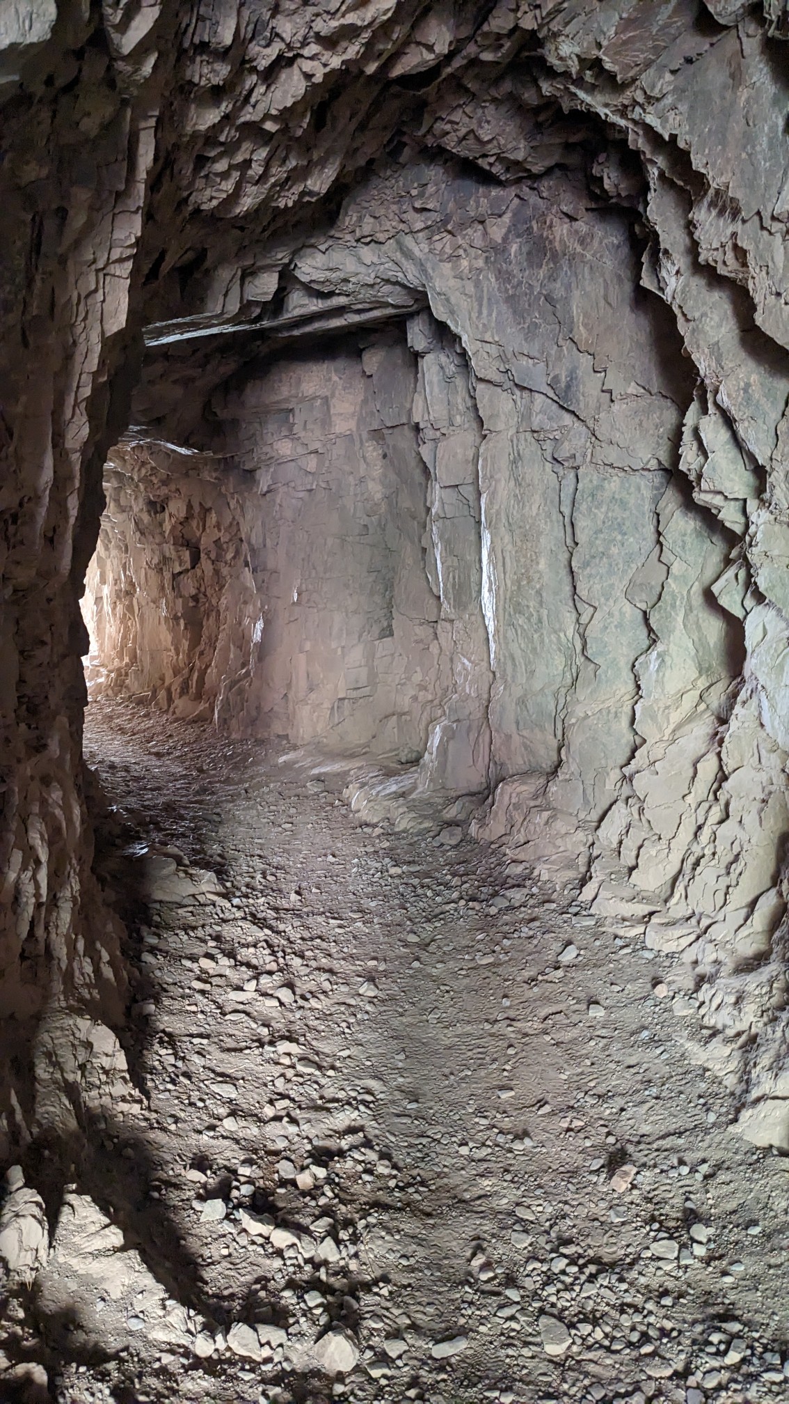
And to get to the bridge, the trail travels through a blasted tunnel.
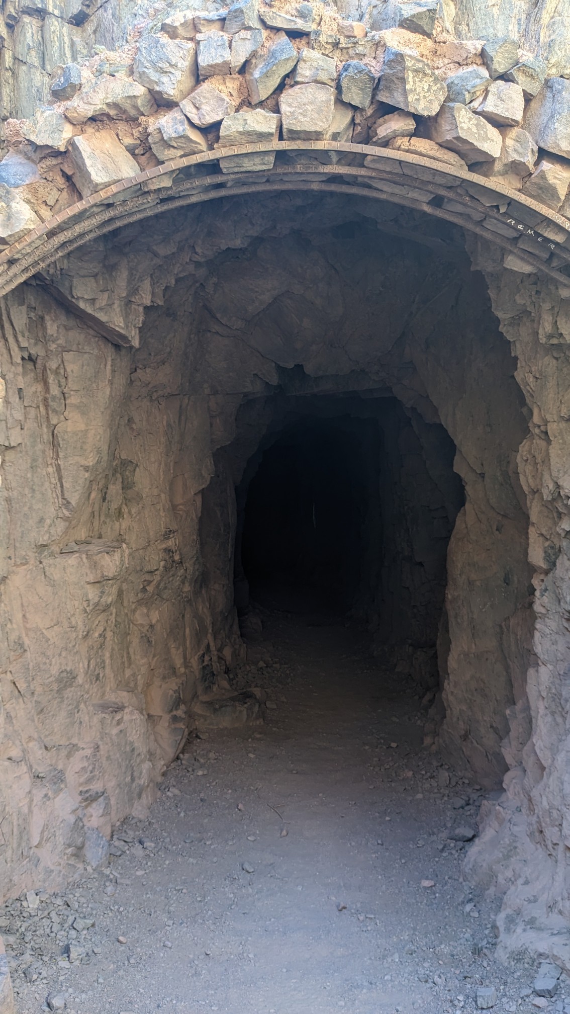
It actually wasn’t that dark inside, and it was only a couple hundred feet long.
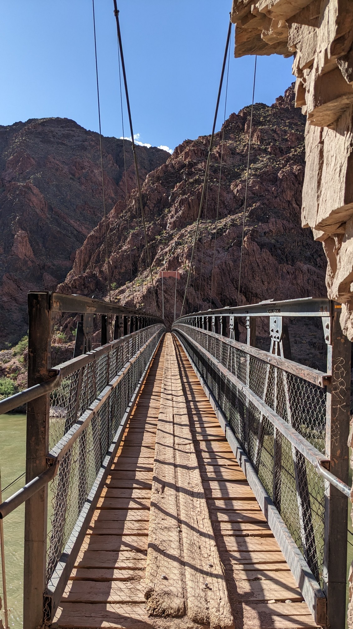
The bridge itself was much longer, and surprisingly solid, I thought it would be a swingbridge that I could bounce on, ha!
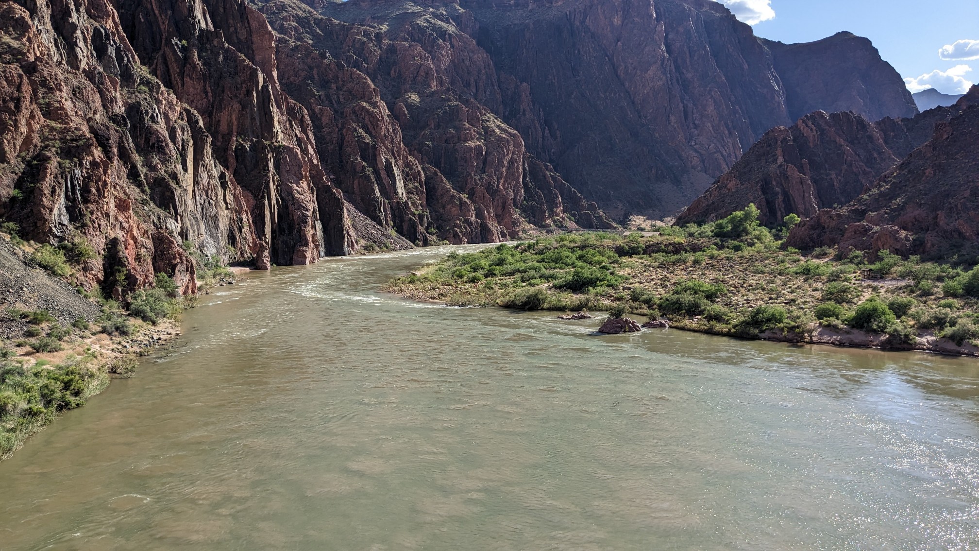
Yep, the Colorado River is just as big as ever.
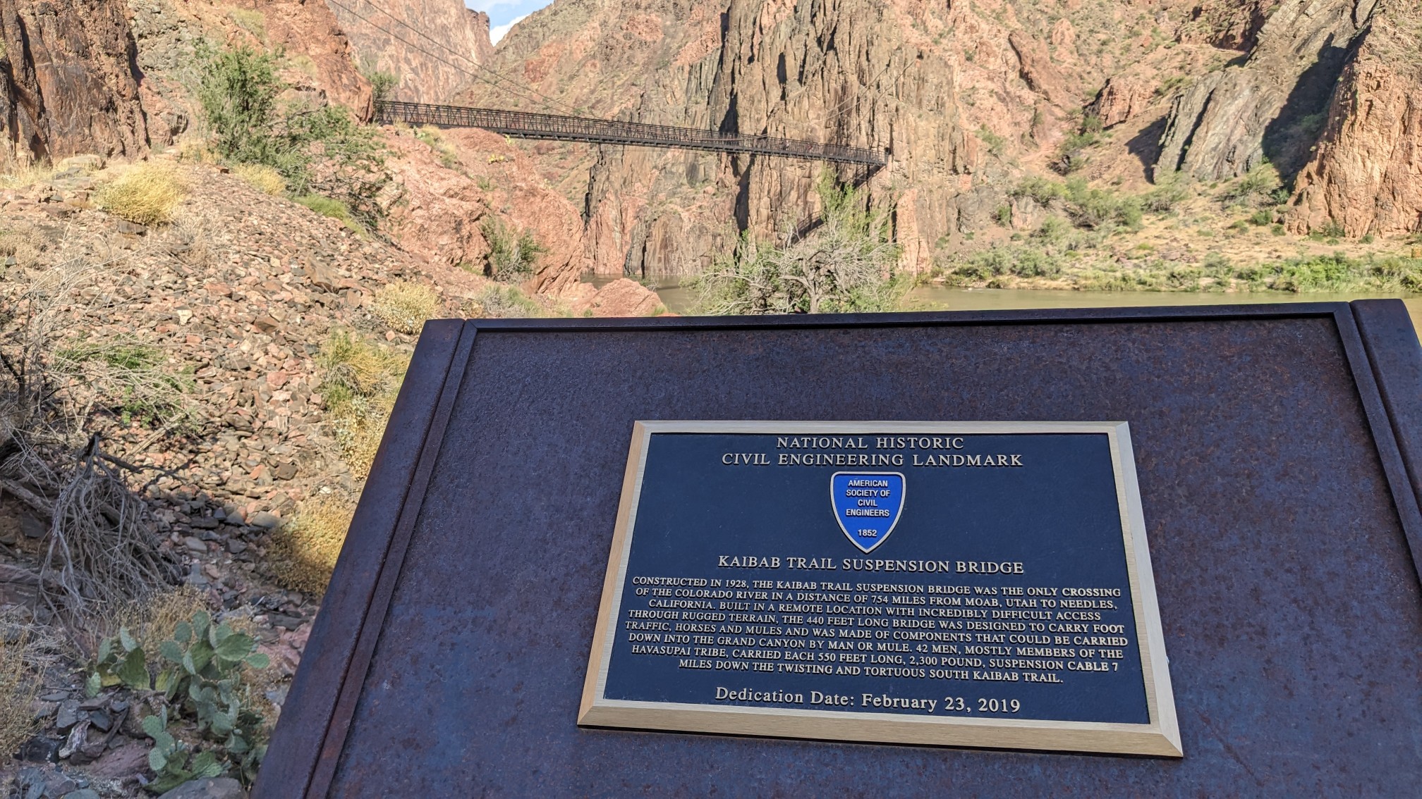
Now back on the north side of the river, there were a bunch of interpretive displays explaining the history of the area. The bridge was built in 1928 and is a civil engineering landmark.
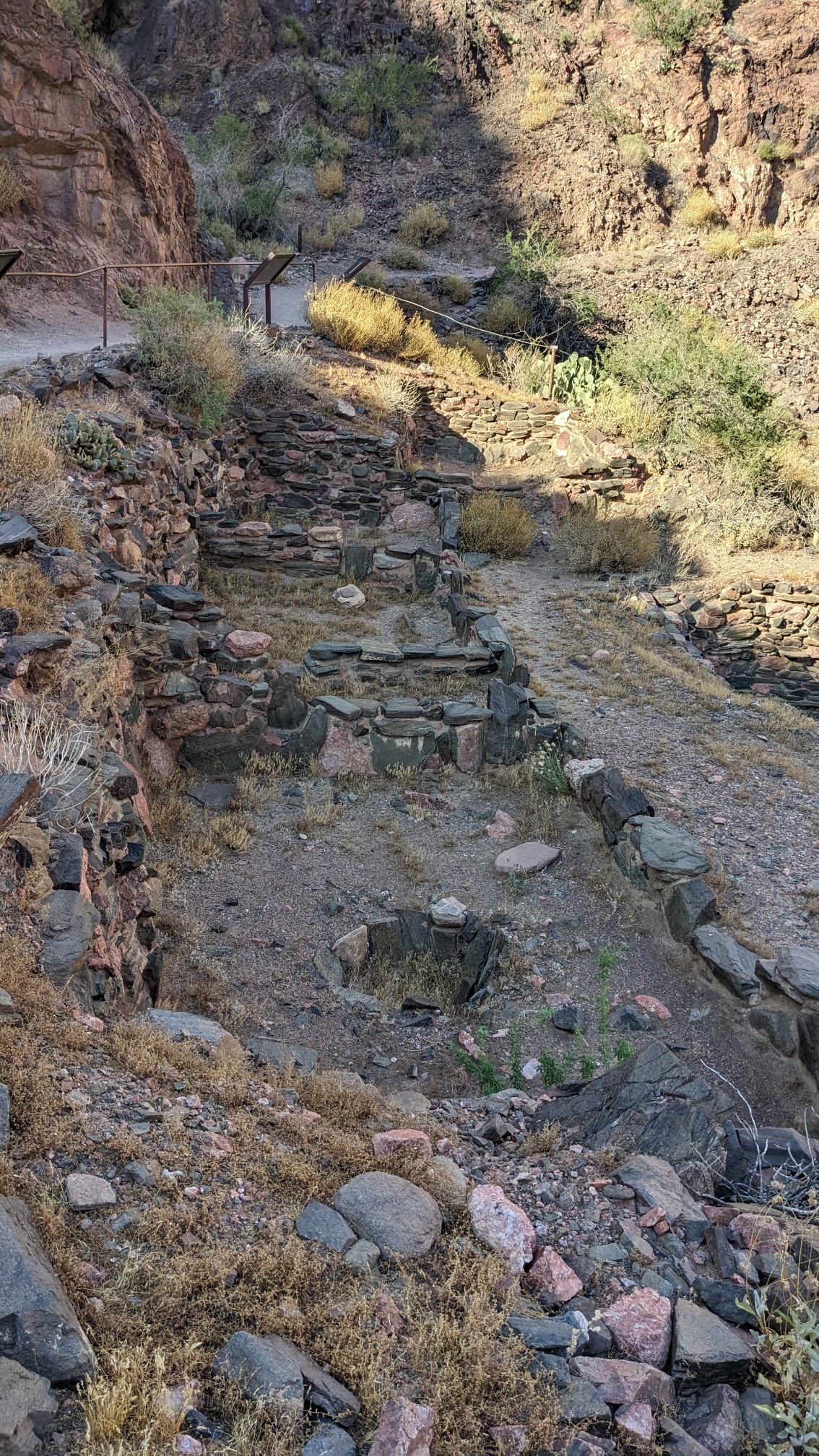
These old ruins were from a native civilization here about 1000 years ago.
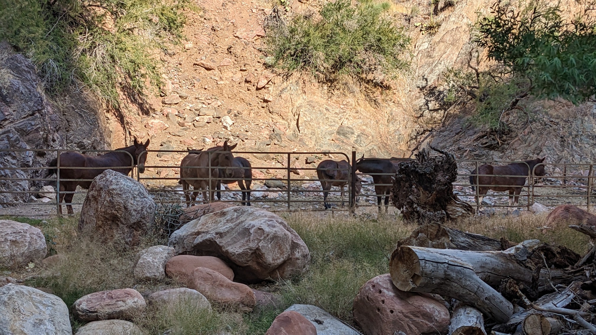
When I got near Phantom Ranch I started seeing more signs of development, like this little farm that housed mules.
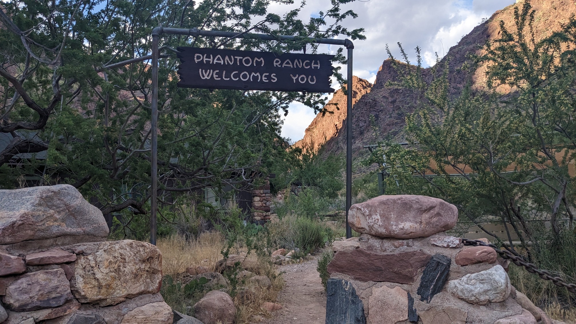
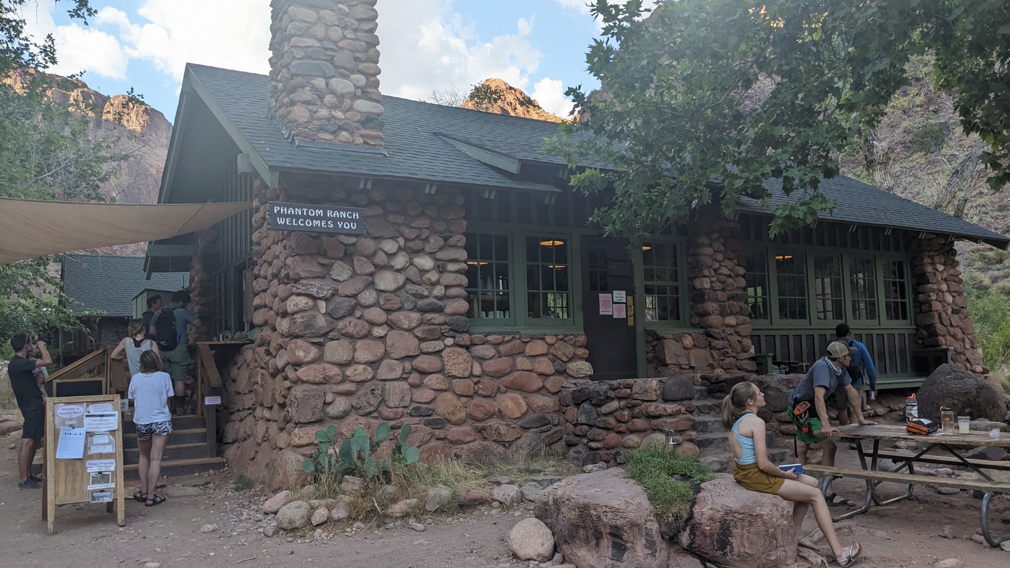
Phantom Ranch is a sprawling complex with a campground, cabins, a dining hall, bathrooms, a ranger station, and probably a few more things. They even had a welcome sign!
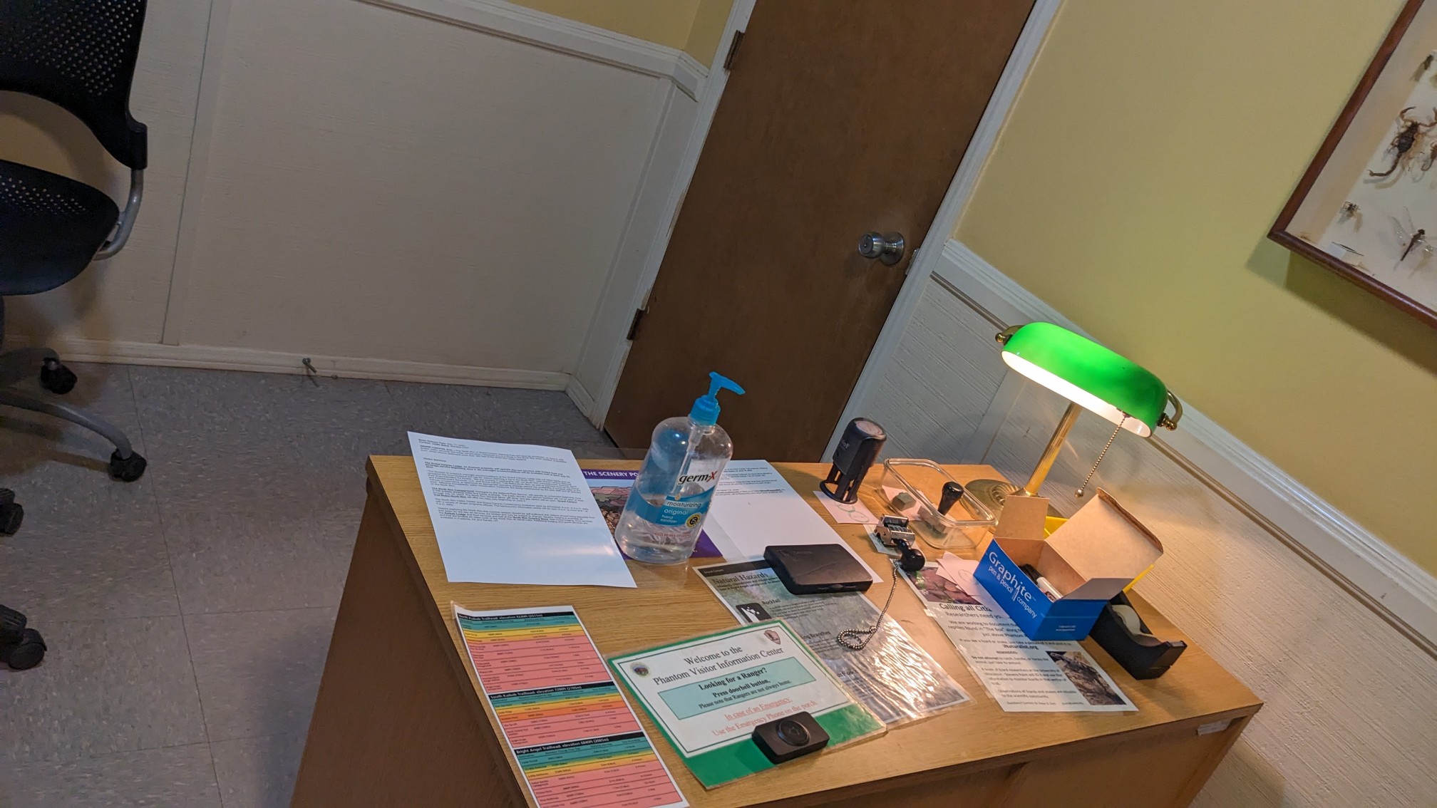
I stopped by the Ranger station to ask for advice about one of my upcoming river crossings, but no one was there. So I signed the guestbook and browsed through the little library.
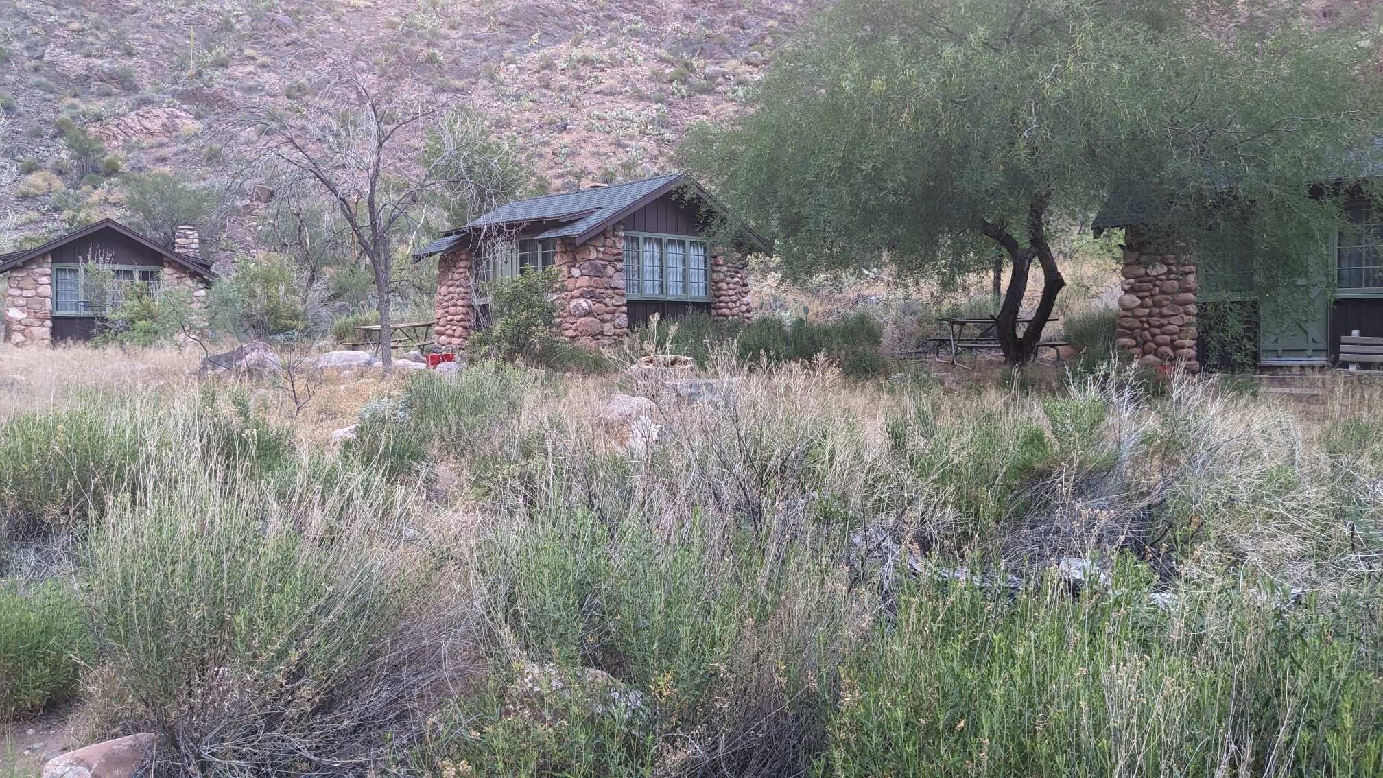
The cabins all looked really old, but also really sturdy.
I stopped up at the dining hall briefly, to check it out and buy a snack.
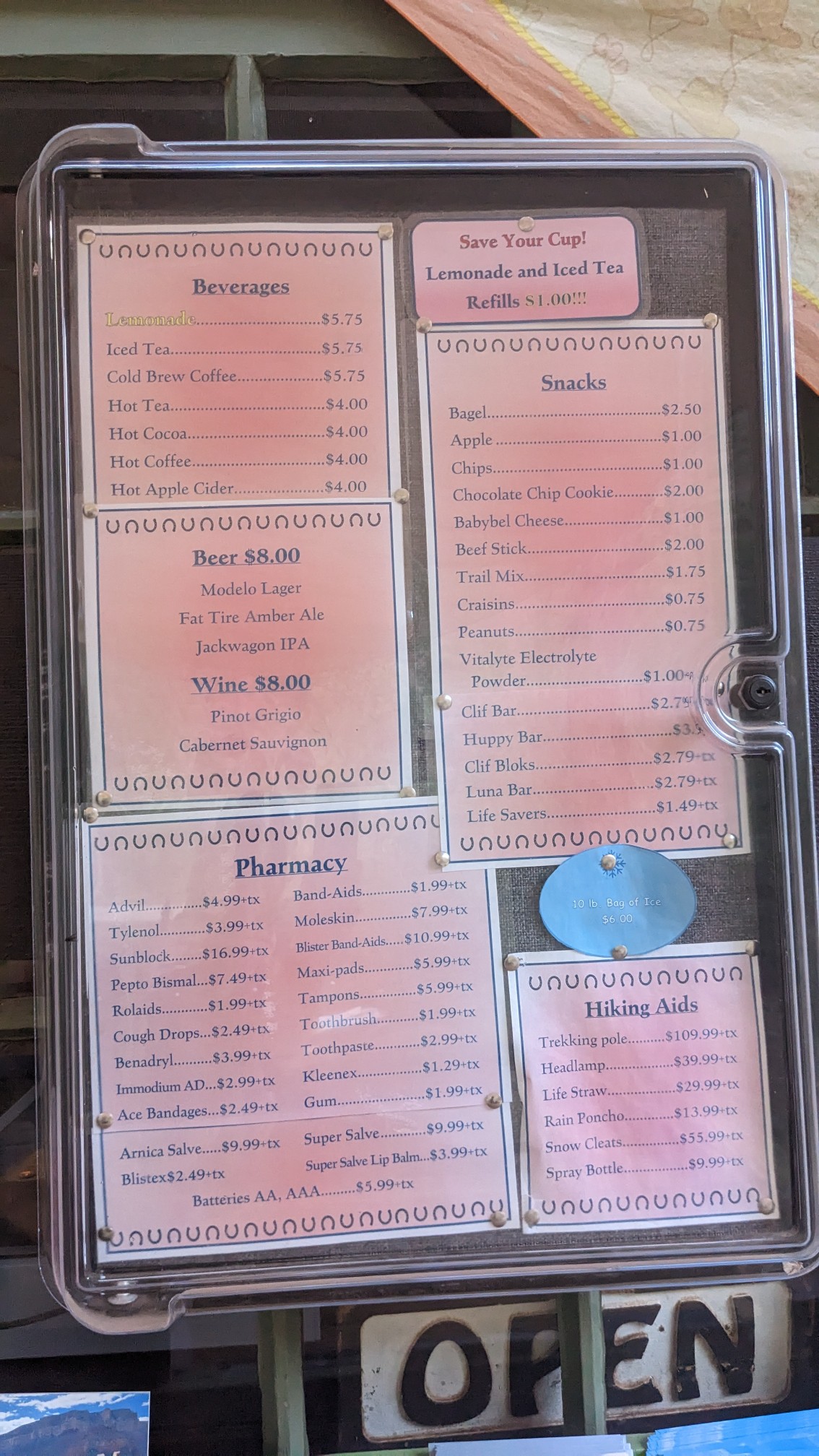
To get a meal requires reservations, but anyone can walk up and buy a drink or snack from the menu at the outside window.
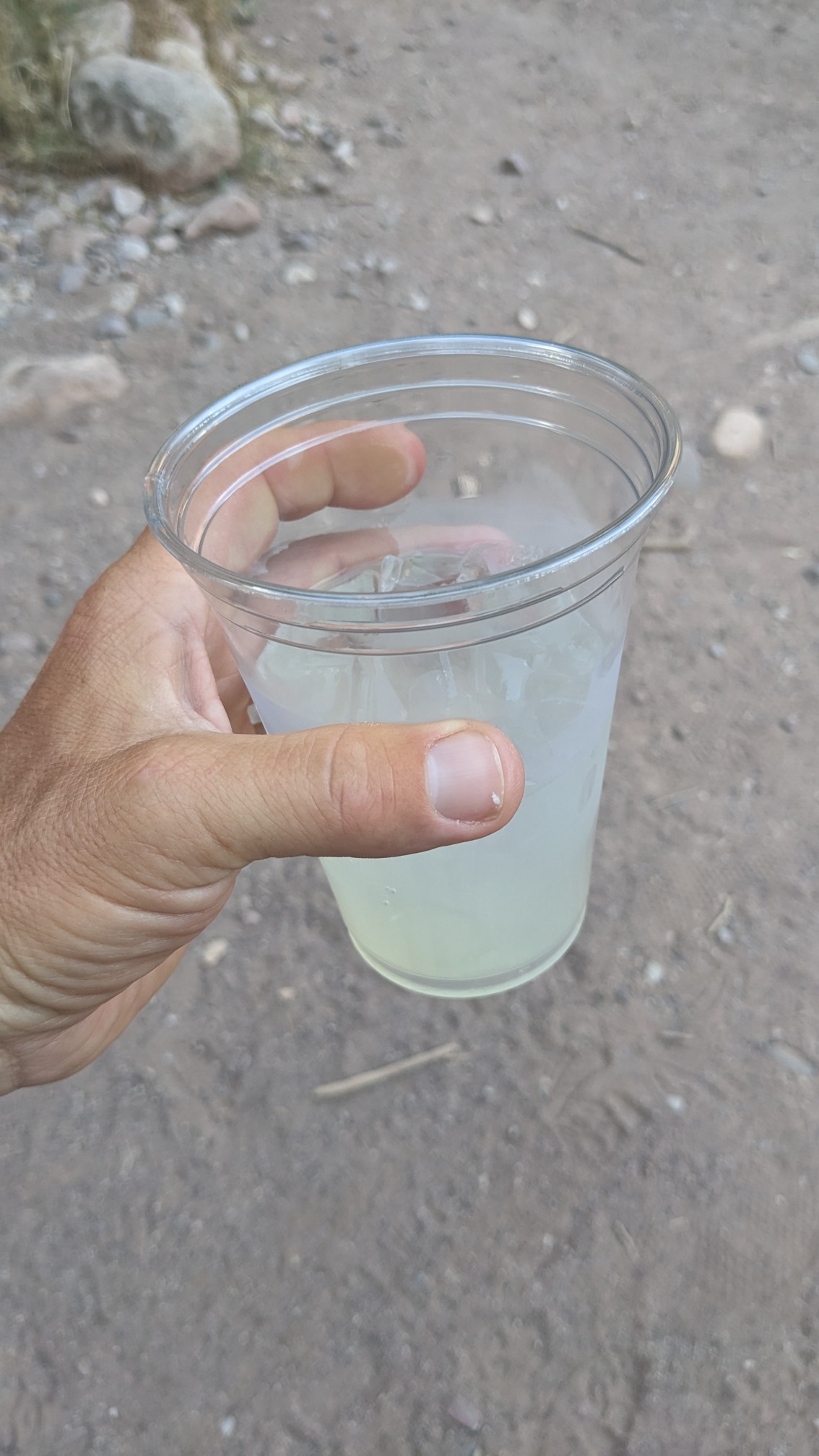
I bought an ice cold lemonade.
I chatted with some of the other hikers there, and several of them commented on my legs, haha. After hiking this trail for over a month, they’re quite tan and muscular, so apparently it was a topic of conversation. I still had 7 miles to go to get to my campsite at Cottonwood Campground, so I hiked on up the North Kaibab Trail.
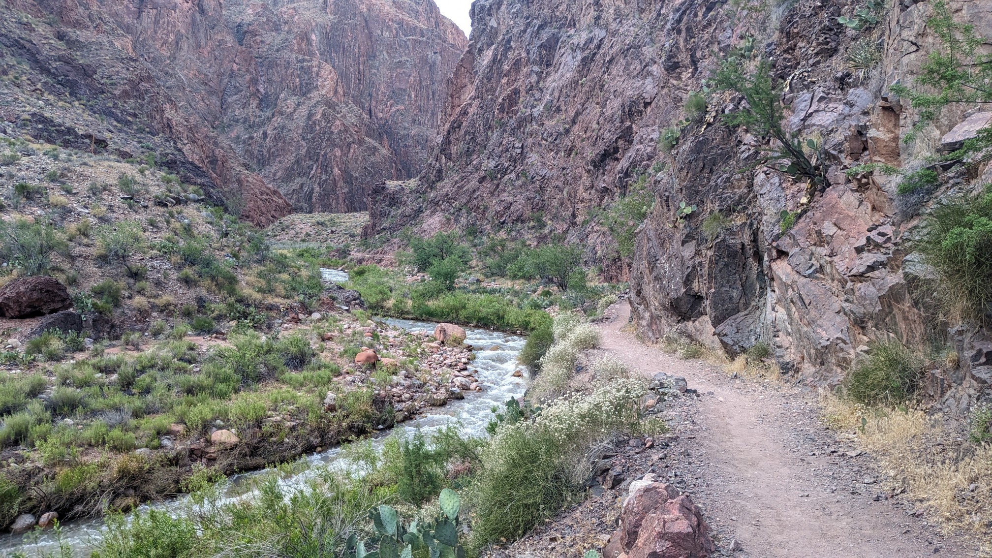
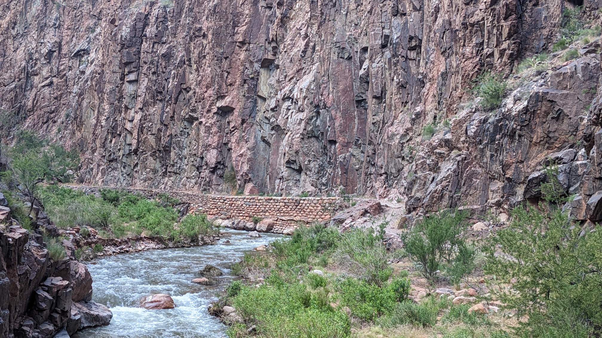
I followed Bright Angel Creek the entire time, on a trail that looked like it had been built by stonemasons.
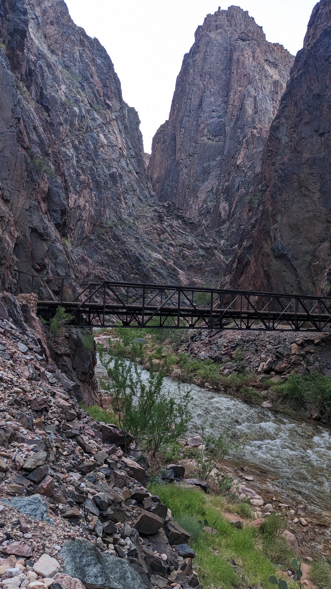
A few times, it had to cross the creek on a metal bridge, which I was happy to have since the creek was roaring with snowmelt.
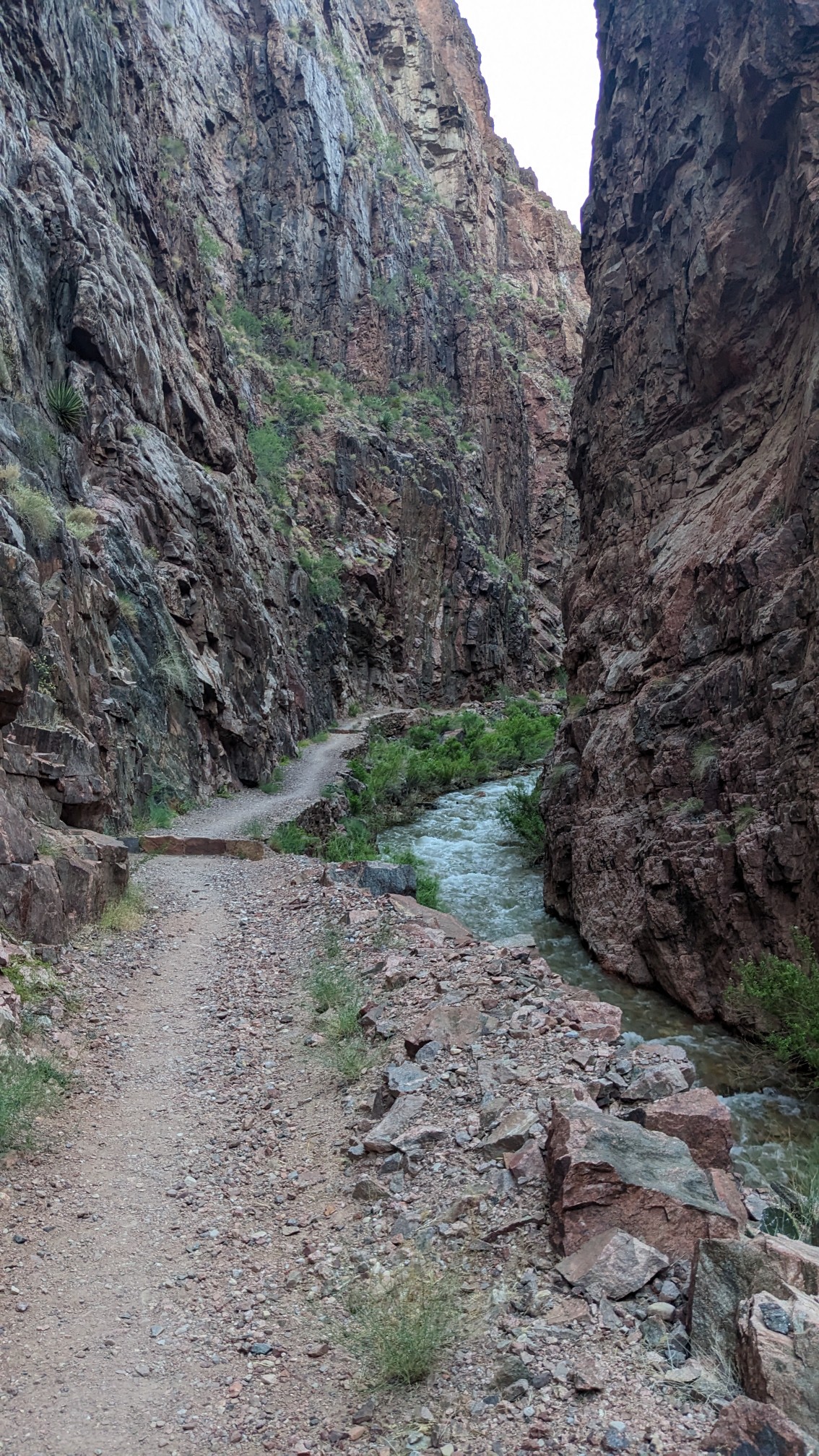
At one spot the canyon was particularly narrow, and it was quite loud with the echoing of the roaring water.
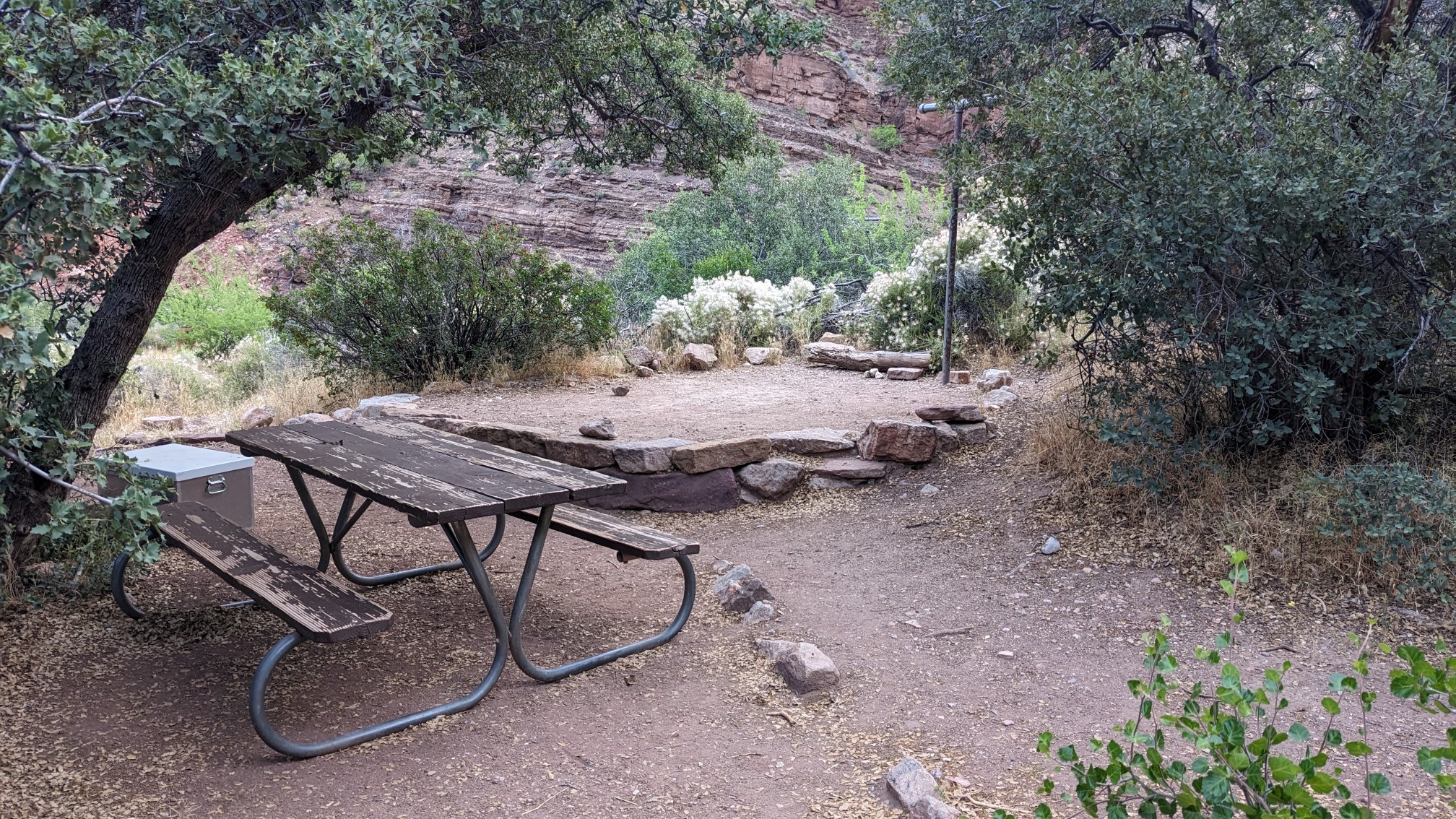
The trail is pretty flat, and climbs only 1000 feet in the 7 mile trek from Phantom Ranch to Cottonwood campground. I arrived to the campground at sunset, and setup my tent on the assigned spot. There was even a locking metal box to keep your food safe from critters!
Mileage-wise, it was a short day but it felt long due to all the elevation change hiking down into the canyon.