Tuesday June 20, 15.0mi/24.1km
FS1861 on top of Cascade Head (114.2/1230ft) to Taft Beach (129.2/10ft) (OR)
This section of trail is in a very developed area, so there are few camping opportunities. After last night’s campsite, I would be stuck with motels for the next two nights. Knowing I had another short day, I didn’t leave camp until 9am. It had also rained all night and finally stopped at 8am, so I had no incentive to leave my tent early! The first 3.5 miles of today were on a brushy wet trail, aka a carwash.
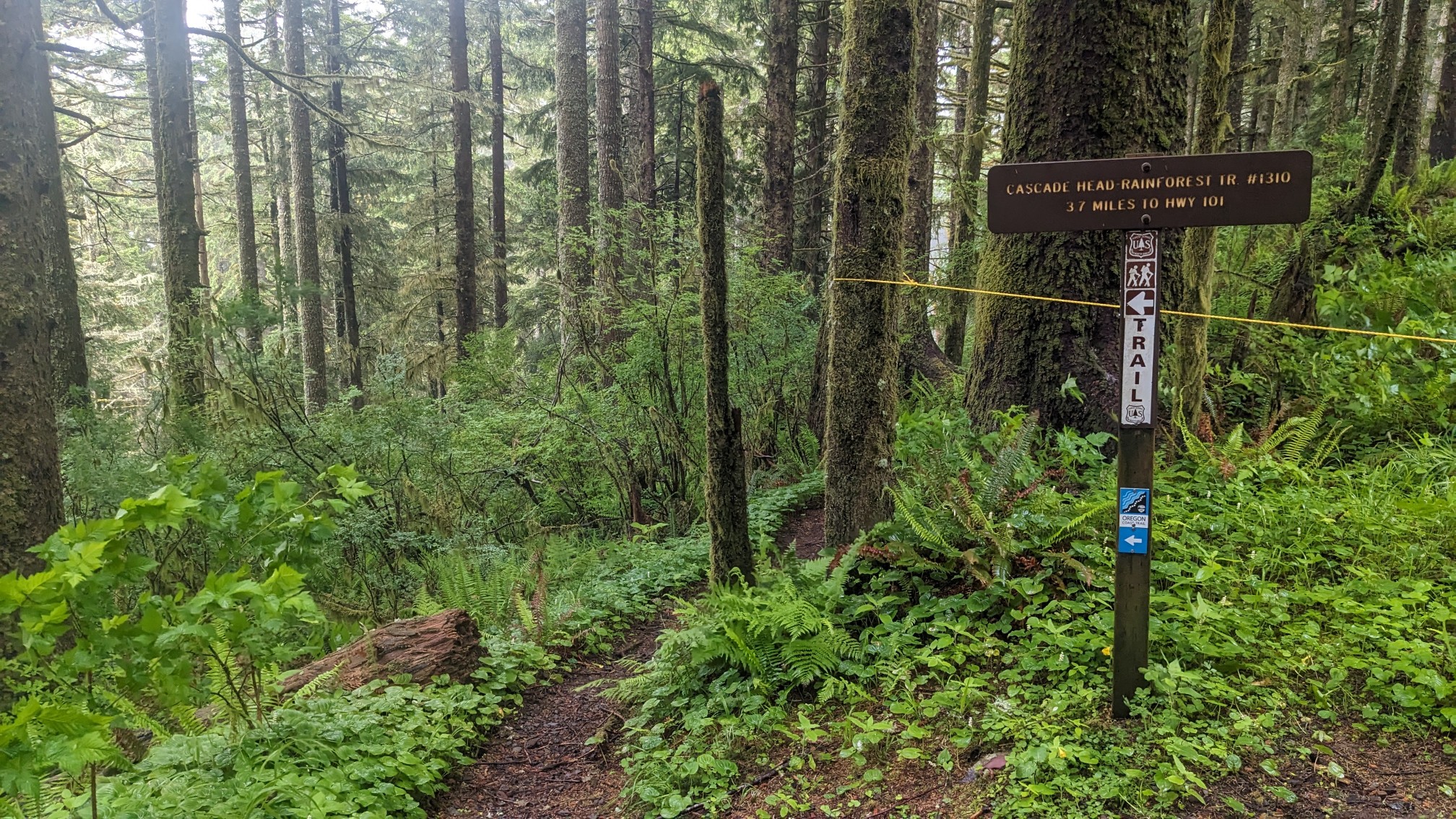
The first half mile of trail started off ok…
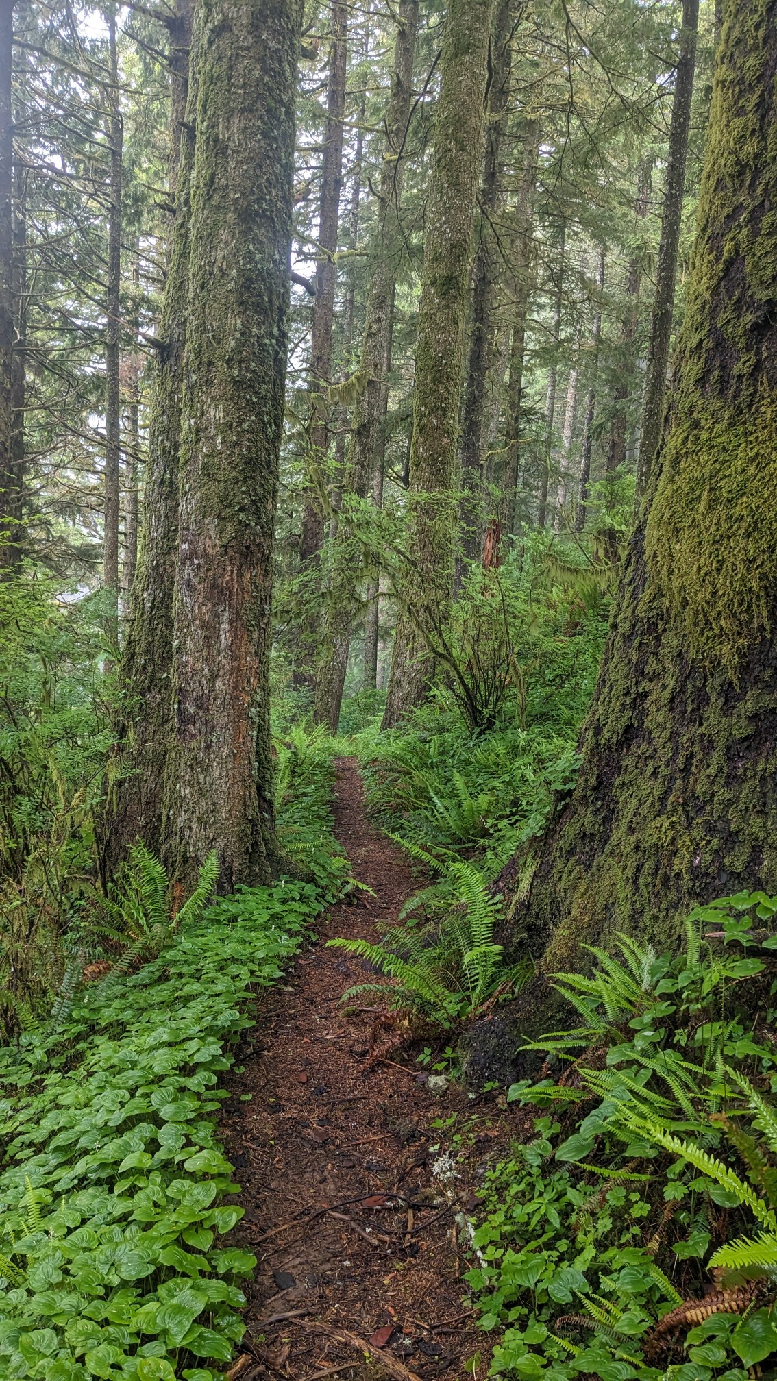
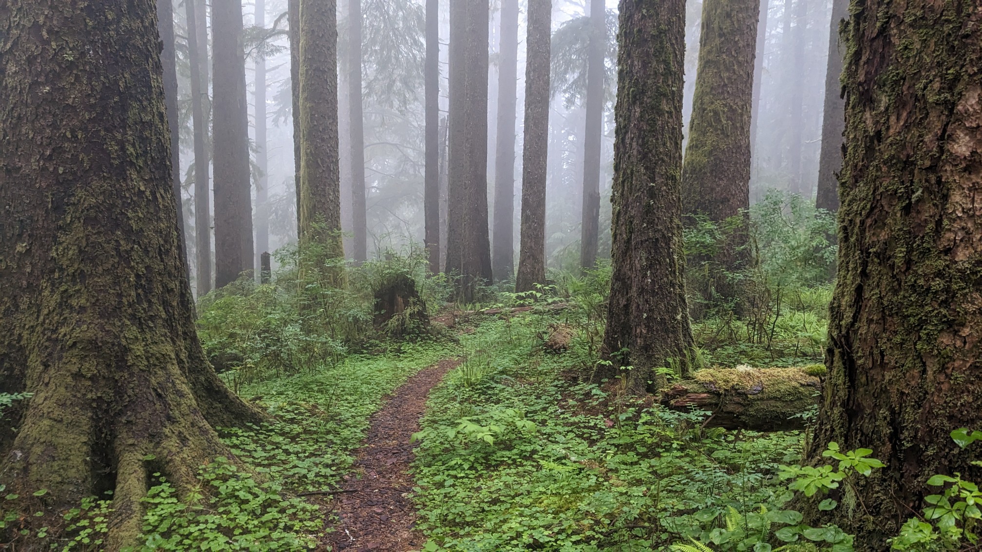
… And the dense fog up here at this elevation made the forest feel really ancient and isolated.
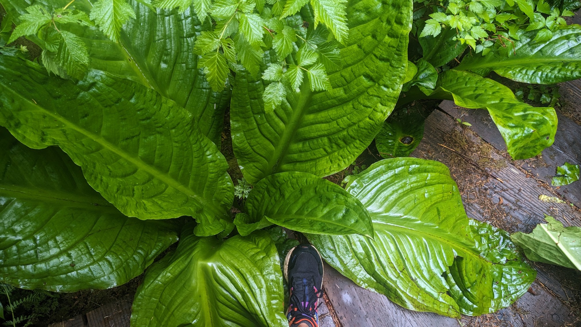
I don’t know the name of these plants but they had massive leaves. My foot looks little by comparison!
The next hour of hiking was basically just thrashing through dense vegetation and getting soaked in the process. It took me an hour to hike just 2 miles and I was pretty scratched up afterwards. I kept my phone safe in a waterproof bag so there were no photos of that horrendous trail. After I had descended a thousand feet and arrived back to the highway, I was back in the warm sunshine. I took a break at the Salmon River interpretive area, which had picnic tables and bathrooms.
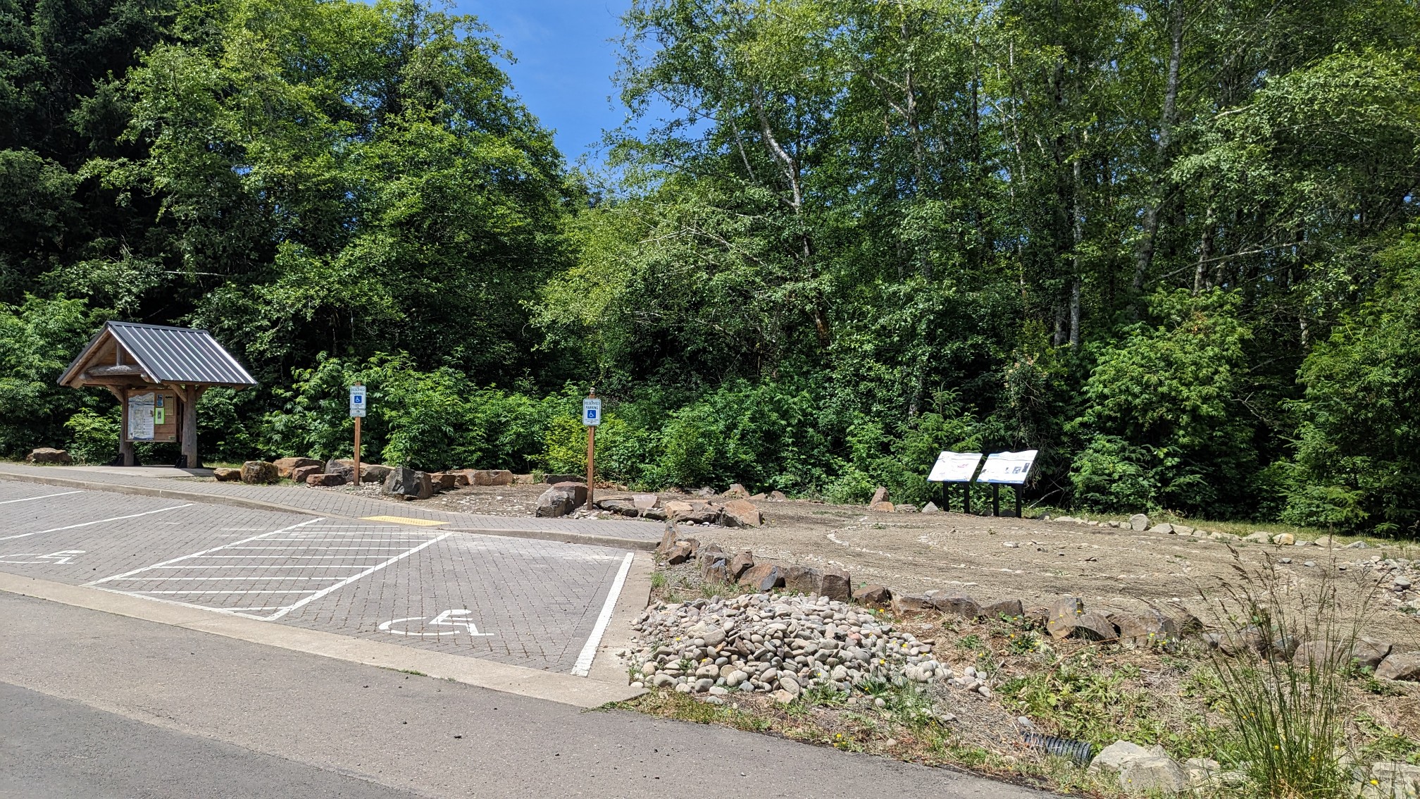
There was an amazing view over the Salmon River estuary, which was preserved over decades by the Forest Service, which bought up local land, and removed the dams & levees that were impairing the ecosystem.
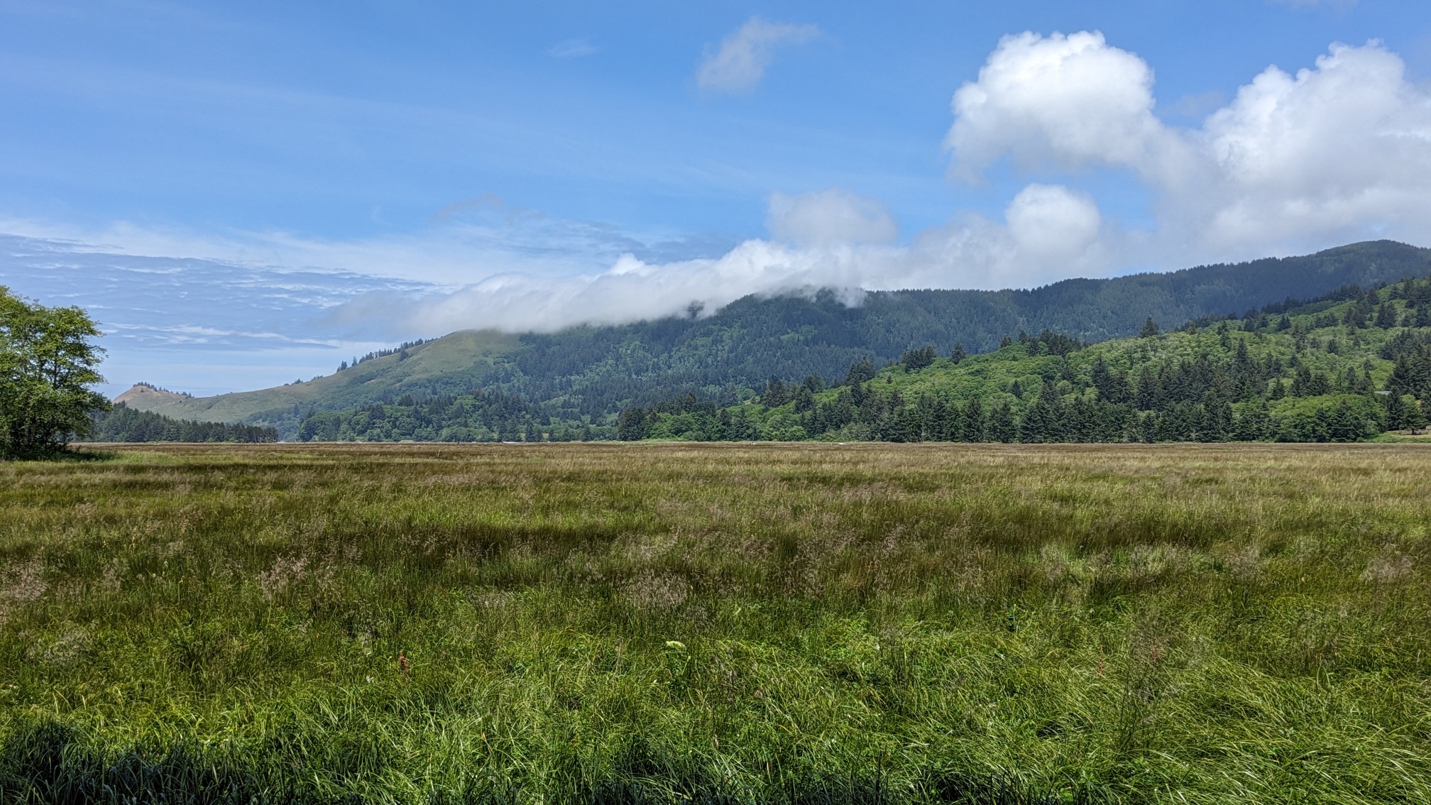
The distance I could see Cascade Head, which I had camped on last night, and it still had its top in the clouds! I hiked onwards, and turned down a side road which would lead to the beach. Unfortunately some local posted a homemade sign to imply that the road was private property (people are jerks).
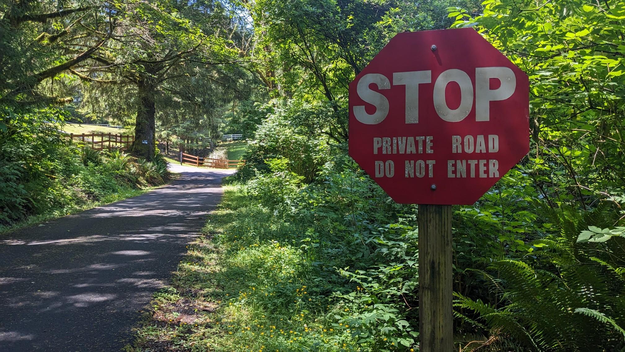
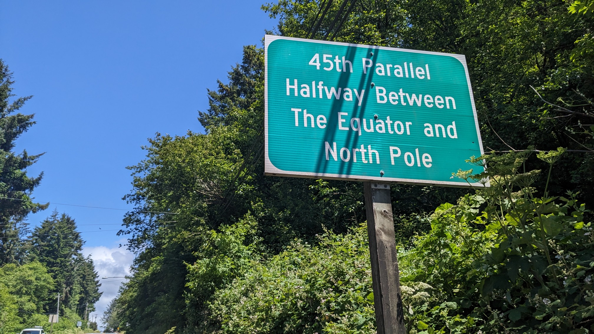
I even called and left a voicemail with the Lincoln County surveyor’s office, asking about the status of this road, since the sign didn’t look official and all other data sources suggest it’s a public road. Regardless, I walked Highway 101 to the beach to avoid any irate locals, and keep a good name for OCT hikers. Back on Highway 101, I hiked a couple miles to the beach. I passed this interesting sign along the way, halfway between the equator and the pole!
Finally I was back on the beach and away from the traffic of the highway.
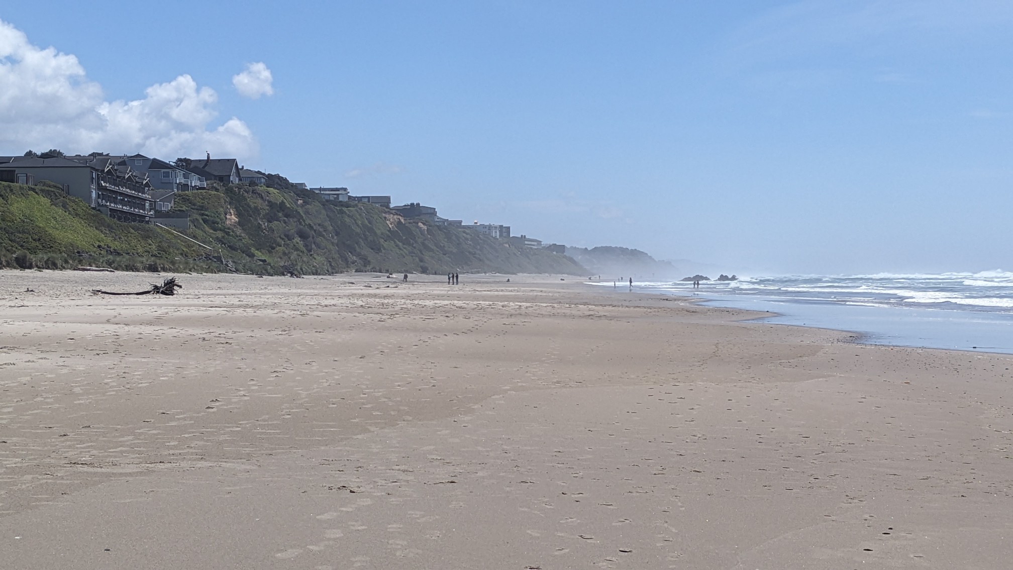
I like that this beach had cool rock formations near the shore, which made the crashing waves really interesting to watch.
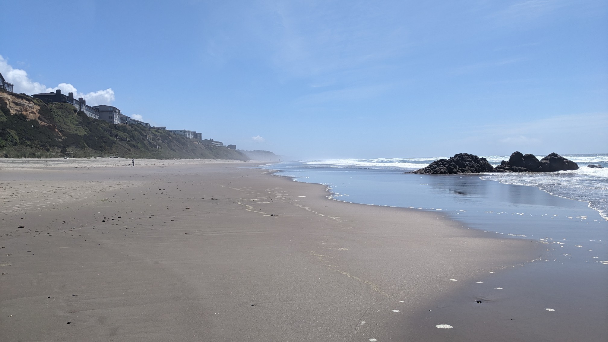
Looking behind me I could still see Cascade Head, and that it was still covered in clouds! Crazy.
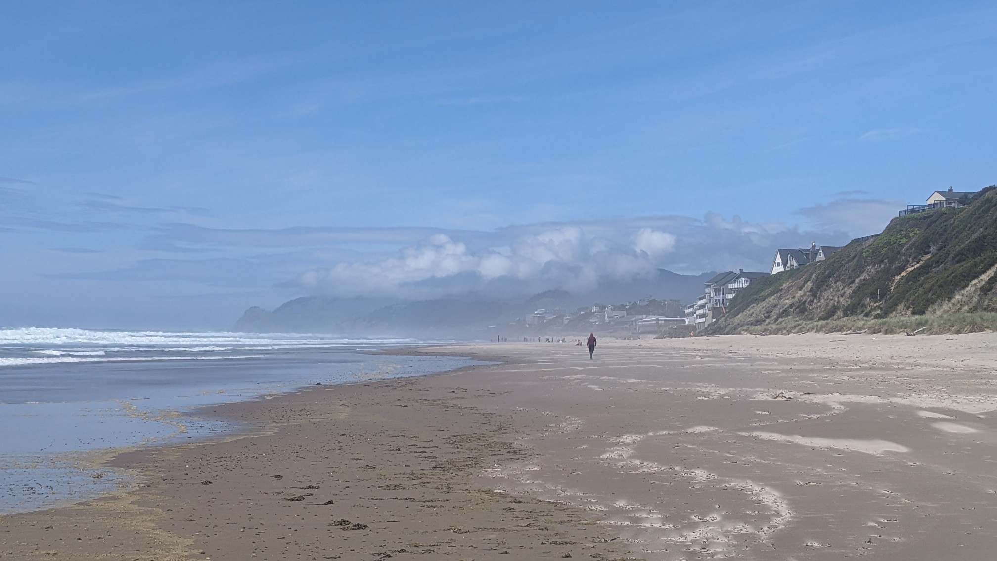
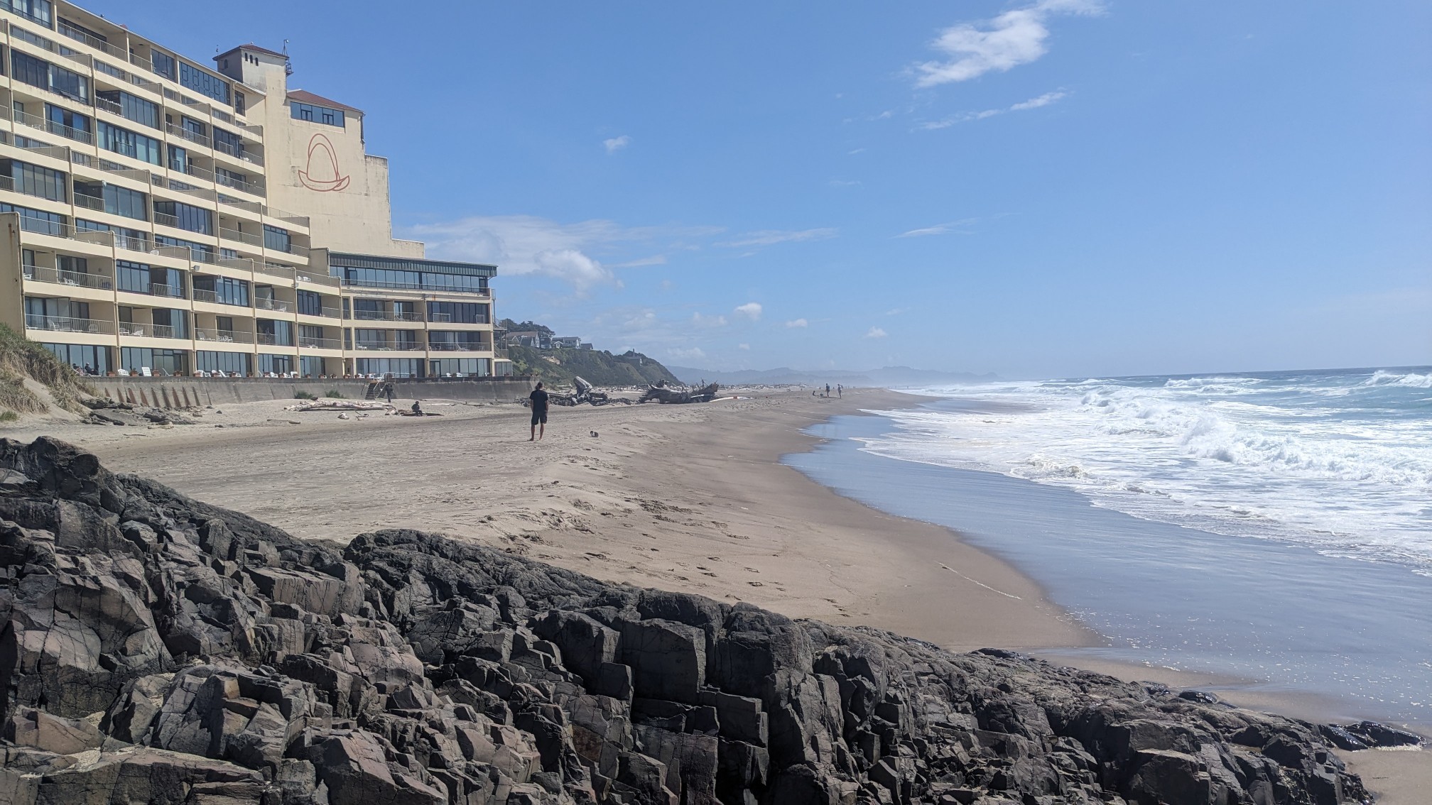
I hiked for a couple hours on the nice beach, with no high tide issues like yesterday. When I got to Spanish Head, there was this really neat rocky part that I had to scramble through.
Pretty soon after that the beach sort of ended, and the outlet of Siletz bay became an obstacle. I turned inland along the bay, and got to watch some seals play in the water.
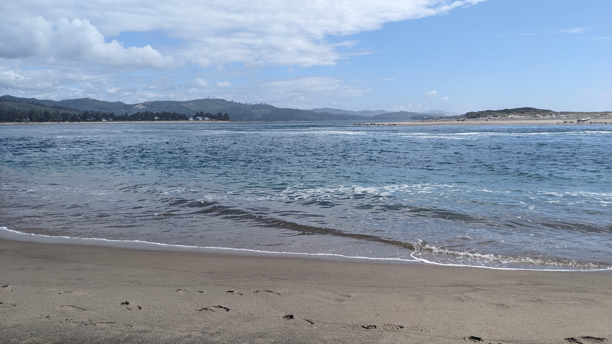
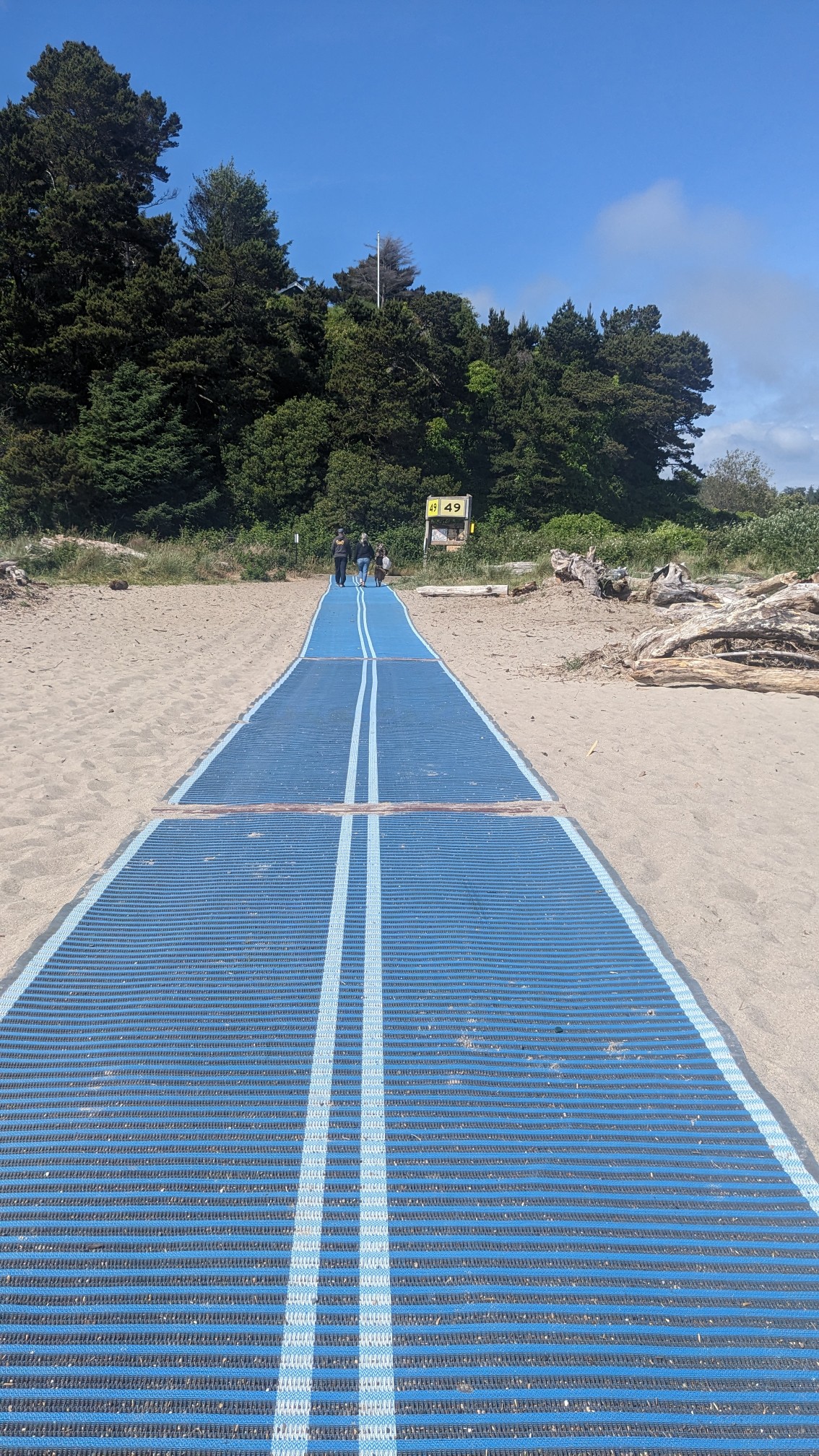
Usually leaving the beach is the hardest part, because you have to hike through a bunch of soft sand that tries to prevent any forward progress. But Taft Beach had this nice mat, which made it easy to walk.
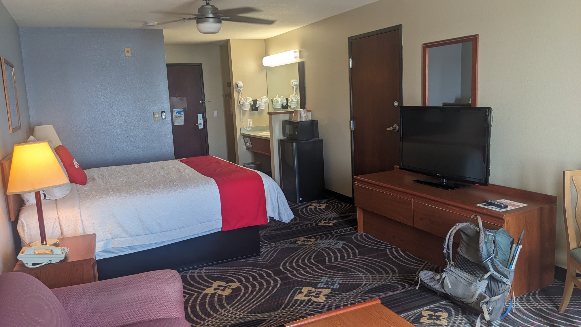
With the lack of usefully-spaced camping options in this section, I was forced to spend the night in a motel again. At least it was a Tuesday night so I got a pretty good price.
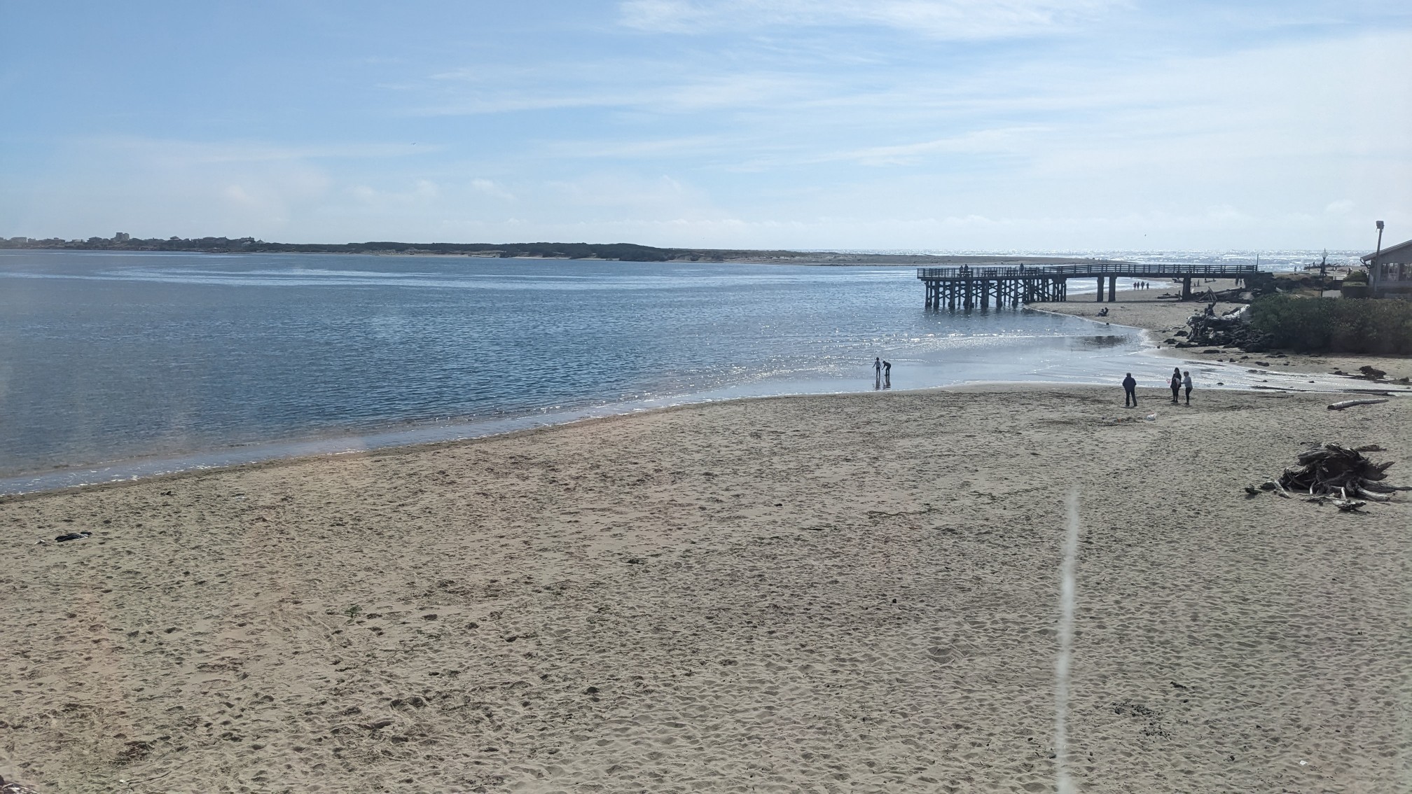
And the view over Siletz Bay was amazing.
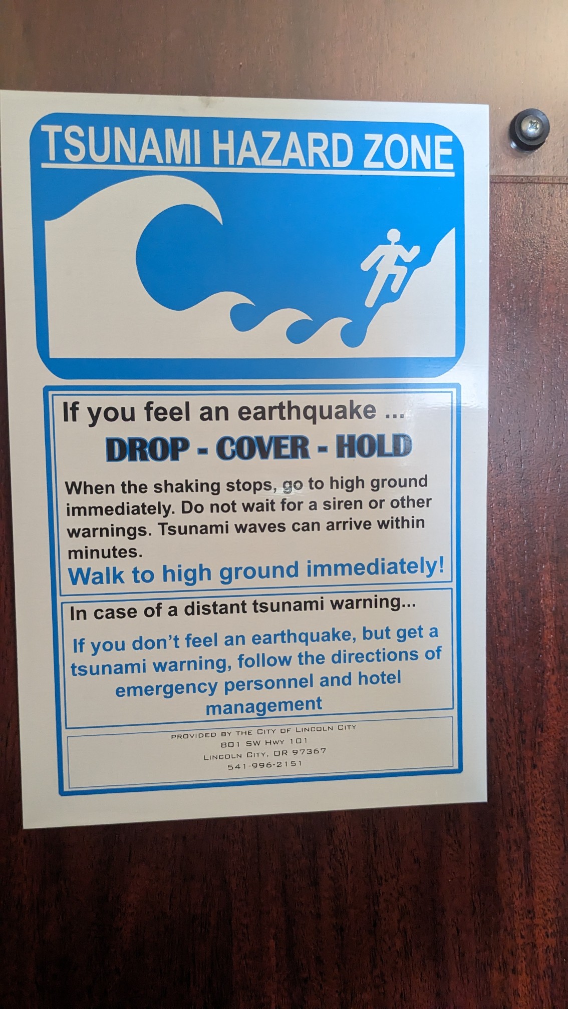
Usually the back of the hotel room door has a list of rules, the checkout time, etc. Around here they have the tsunami evacuation procedure!
I walked to the local IGA grocery store, and grabbed some items to reheat in the microwave for dinner. After watching some bad TV (including a couple episodes of Hot Wings, Orange is the New Black, and Lego Masters), I went to bed.
Big leaved plant Skunk Cabbage, Recon
From the cool green forests to the beautiful beaches – great photos!