Wednesday August 16, 31.9km/19.8mi
Maison Forestière de l’Estanyo (705.6km/1480m) (France) to Mouli Serradou Ruins (737.5km/830m) (France)
After a nice night in the cabin, I had breakfast outside at the picnic table and then said goodbye to my new Polish friends who departed just before I did. I had some more uphill forest walking to do, and it was a pleasant morning.
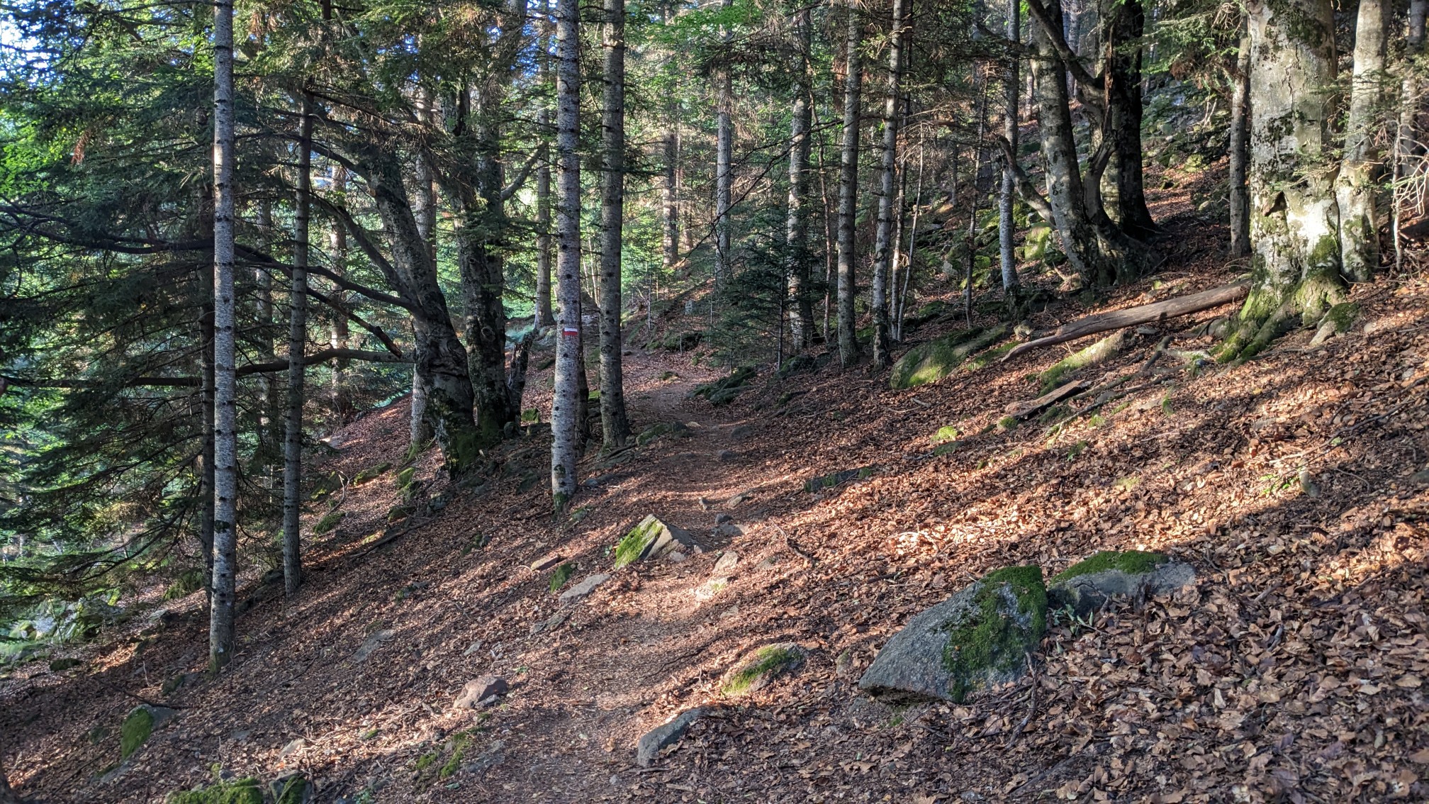
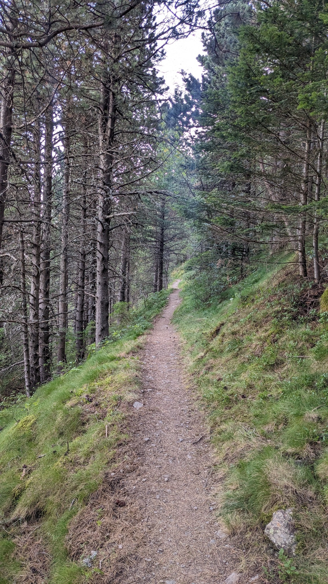
After an hour I came to the top of the climb at the Col de la Cirère, where I could see the route ahead of me down in the valley.
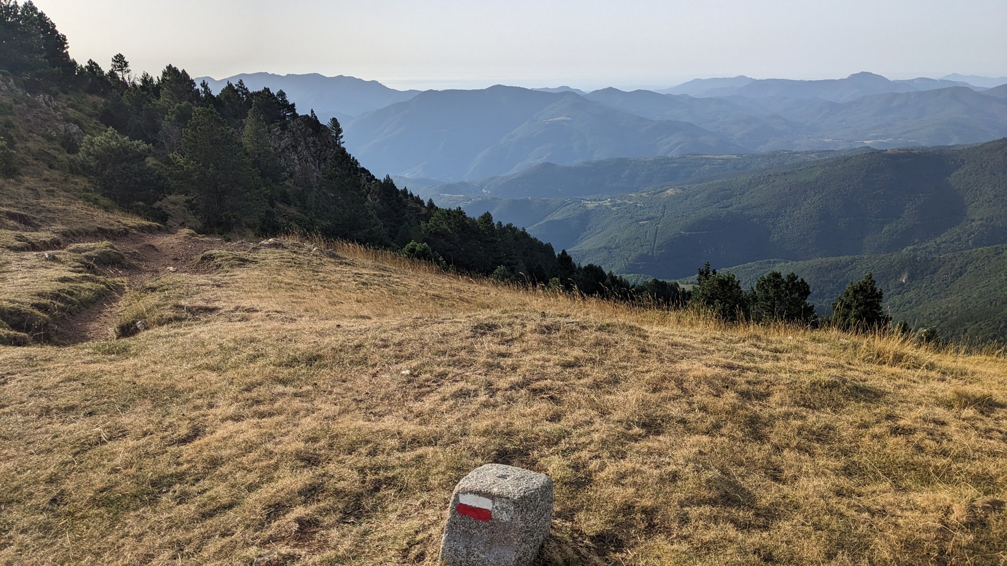
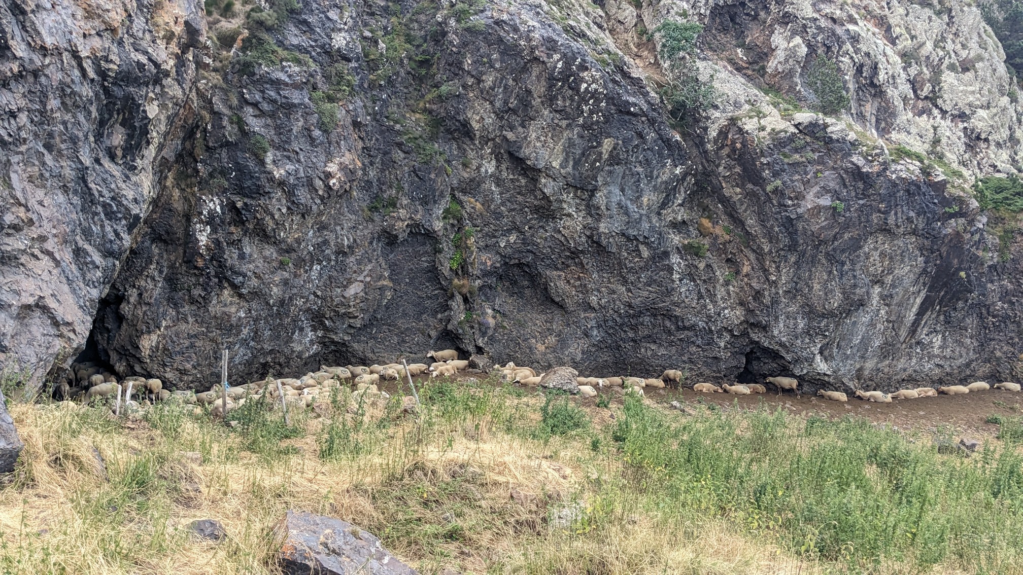
It was pretty windy up there, so I started down the descent without taking a break. Along the way I noticed I herd of sheep all huddled up against a cliff which I thought was hilarious.
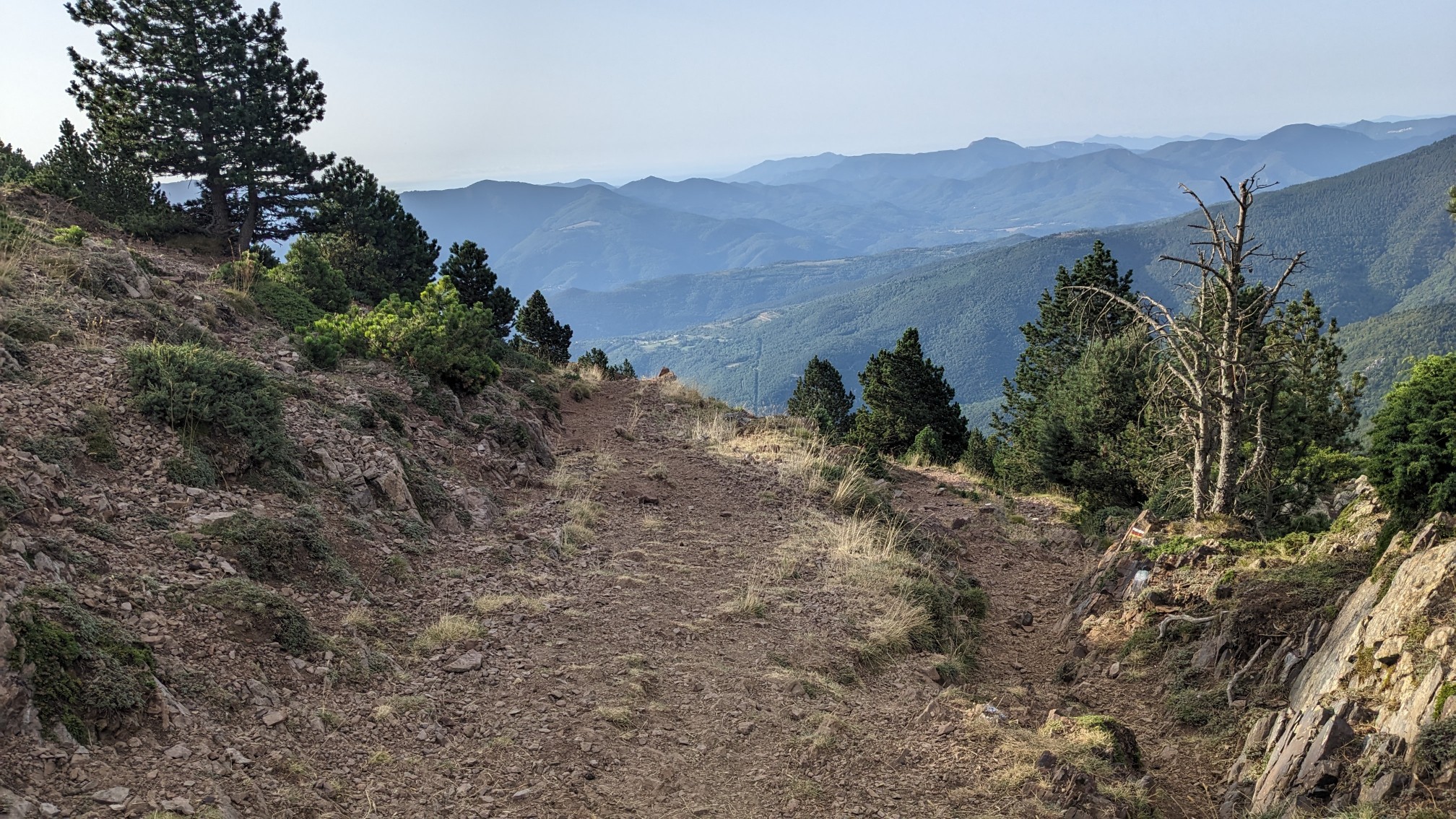
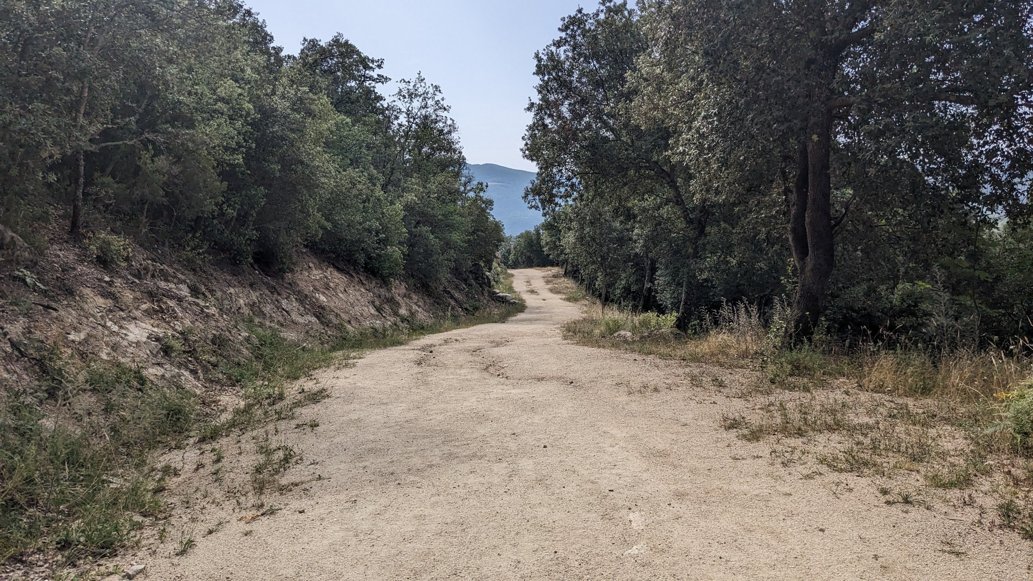
It was a pretty wide trail, almost like a road, and it looked like I still had a long way down to go.
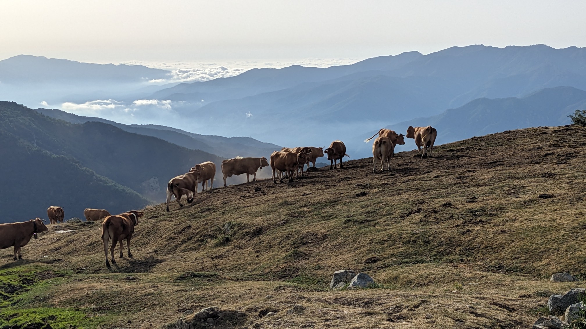
When I saw a herd of cows standing on the top of a hill, I just had to get a photo. With the undercast valley in the background, this is a very typical scene in the Pyrenees.
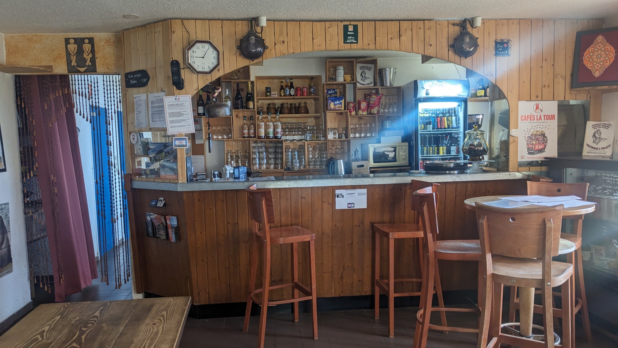
An hour after the col I was at the Refuge de Batère. I took a nice little break there and recharged my phone and had a hot tea.
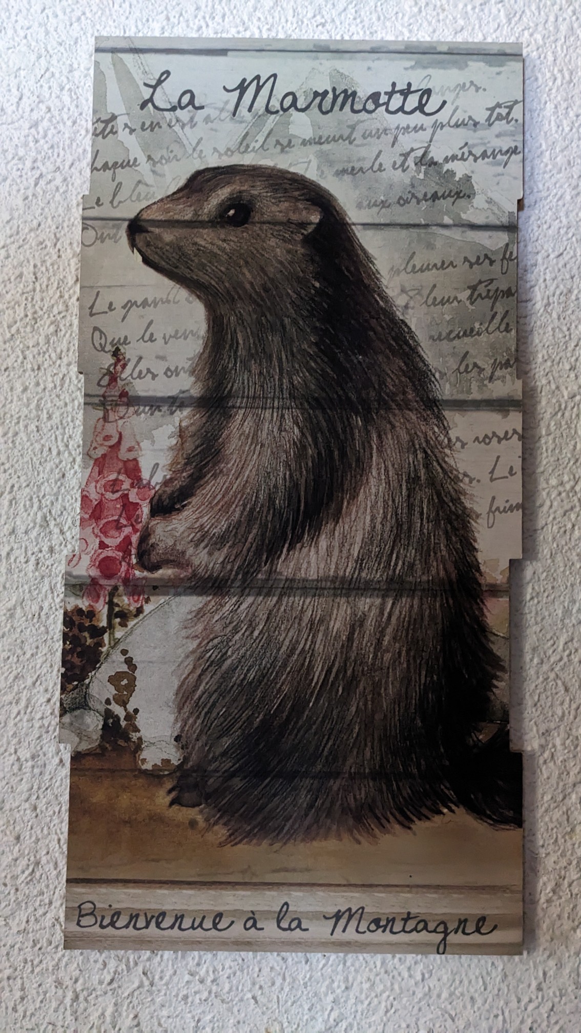
I loved the poster of the Marmot that welcomed hikers into the mountains. For hikers heading in the opposite direction as me, this is their first mountain hut.
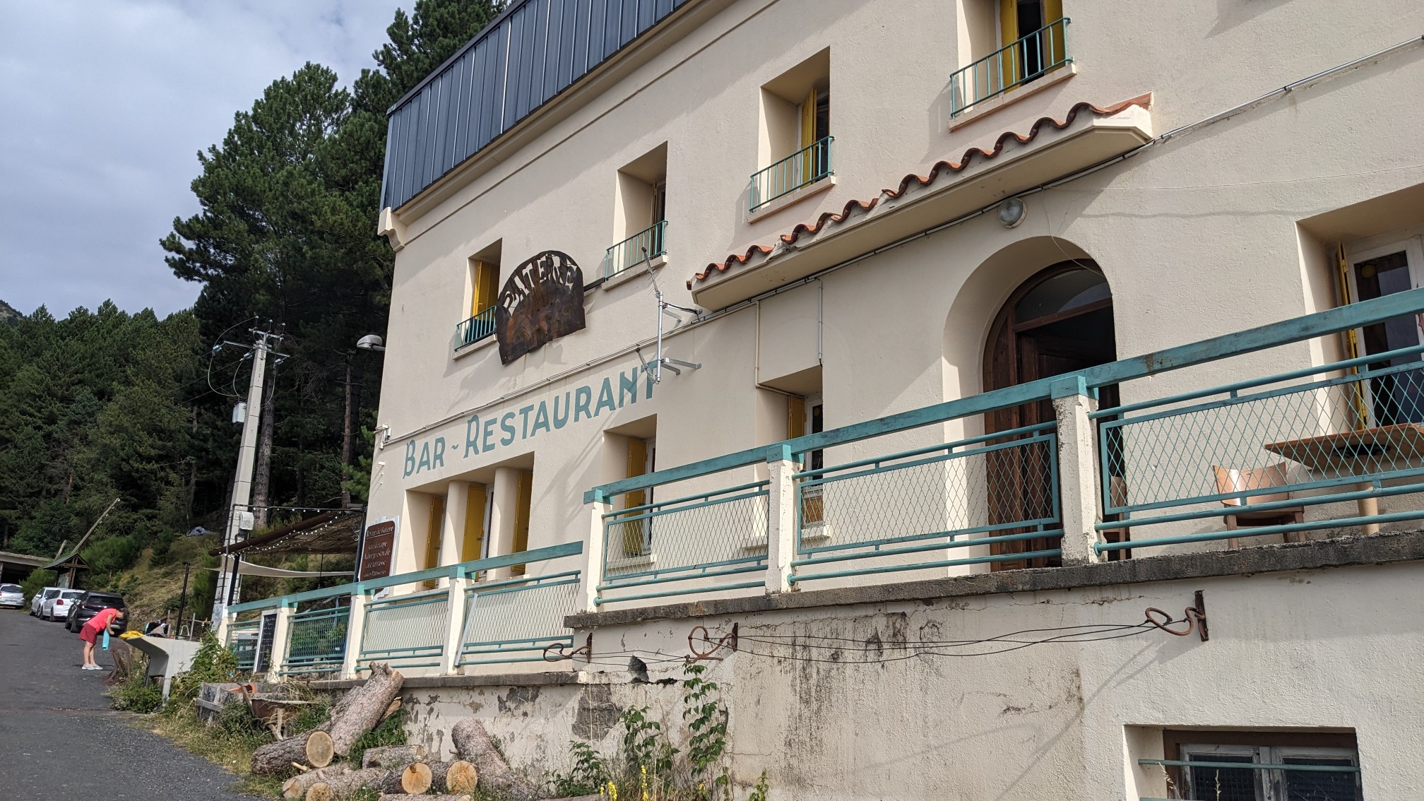
As I was leaving the refuge I noticed it looked like a regular commercial building, instead of a mountain cabin.
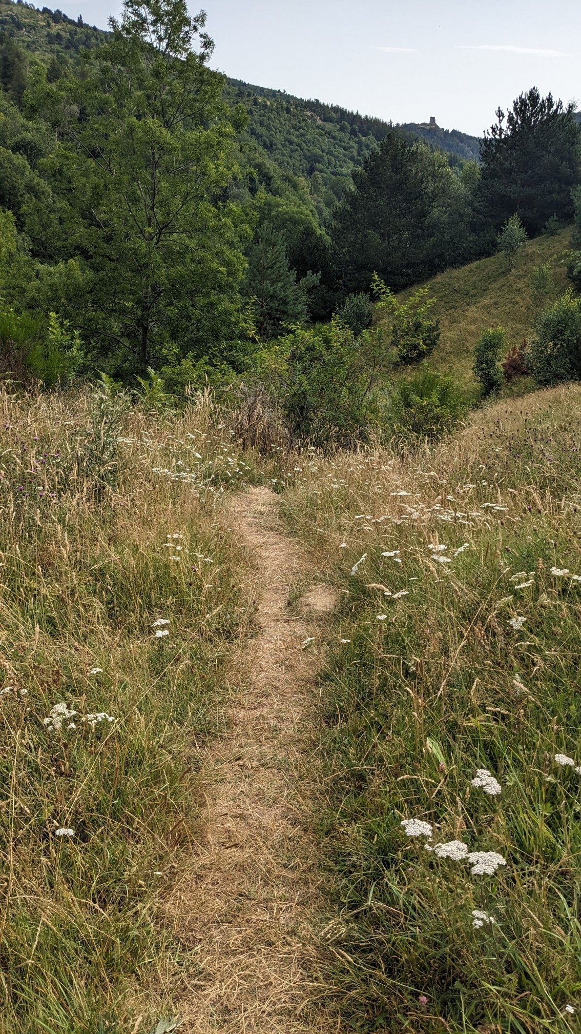
I continued the long gradual descent, heading towards the town of Arles-sur-tech.
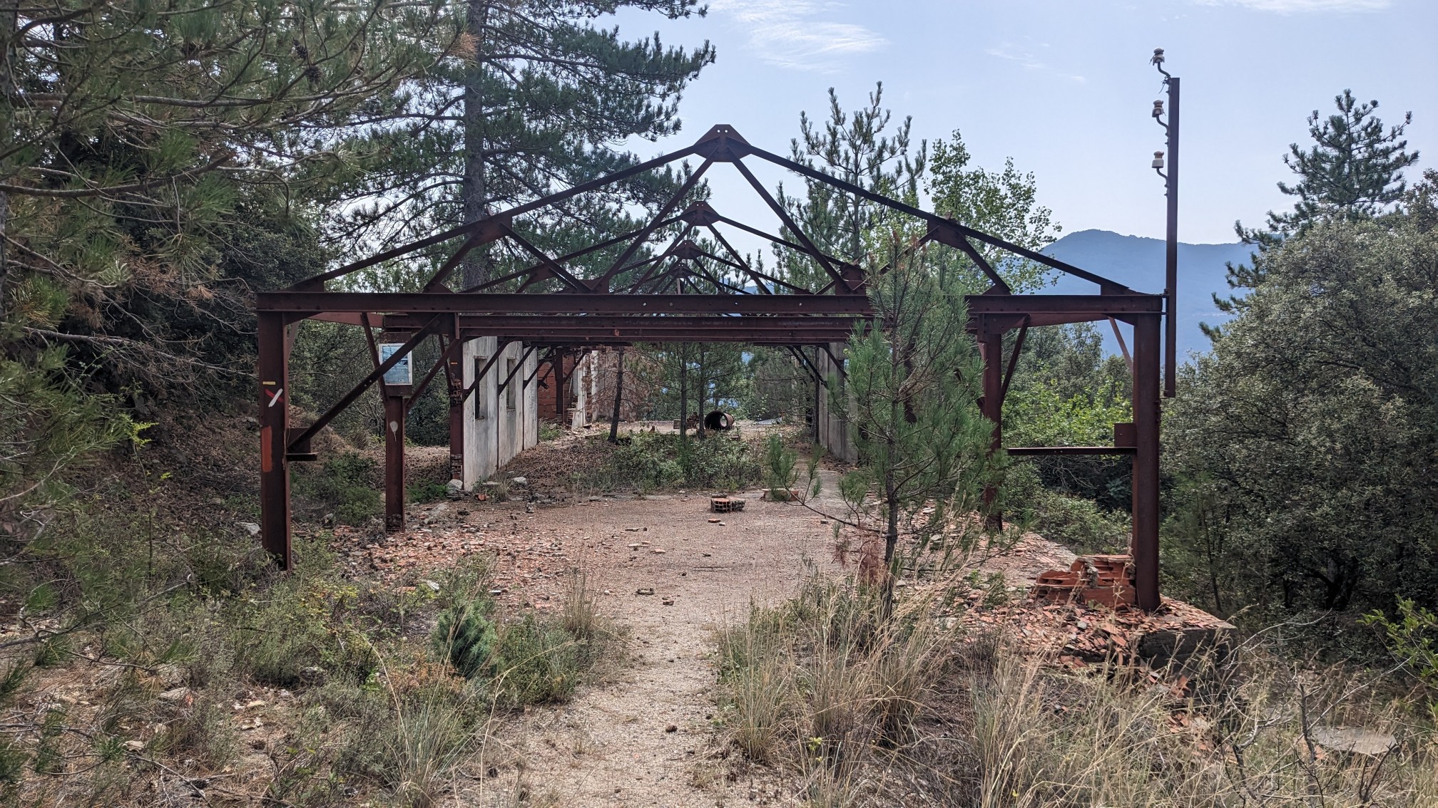
I passed by this strange looking half-built structure, which made an eerie whistling noise when the wind went through it.
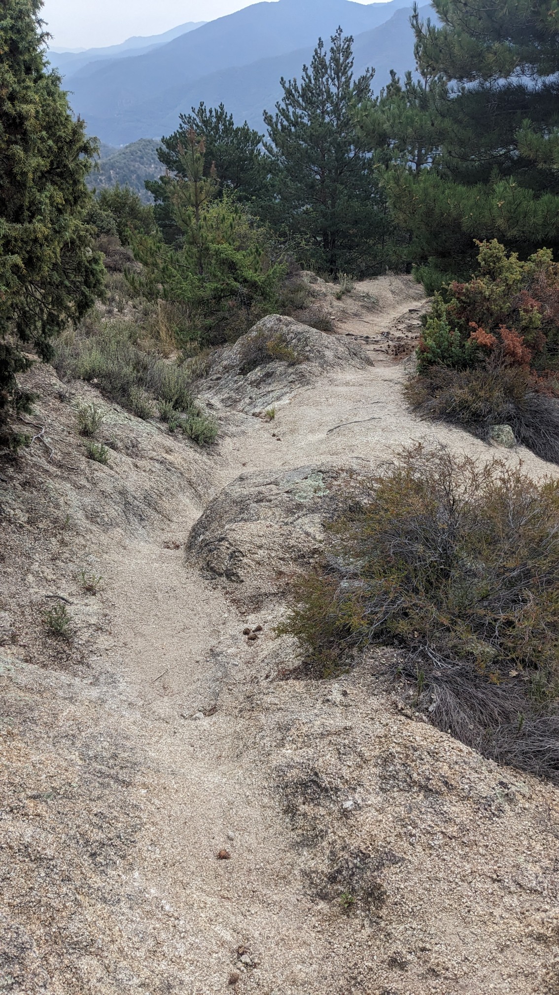
At one point, the trail got a little steeper and slippery with little pieces of gravel.
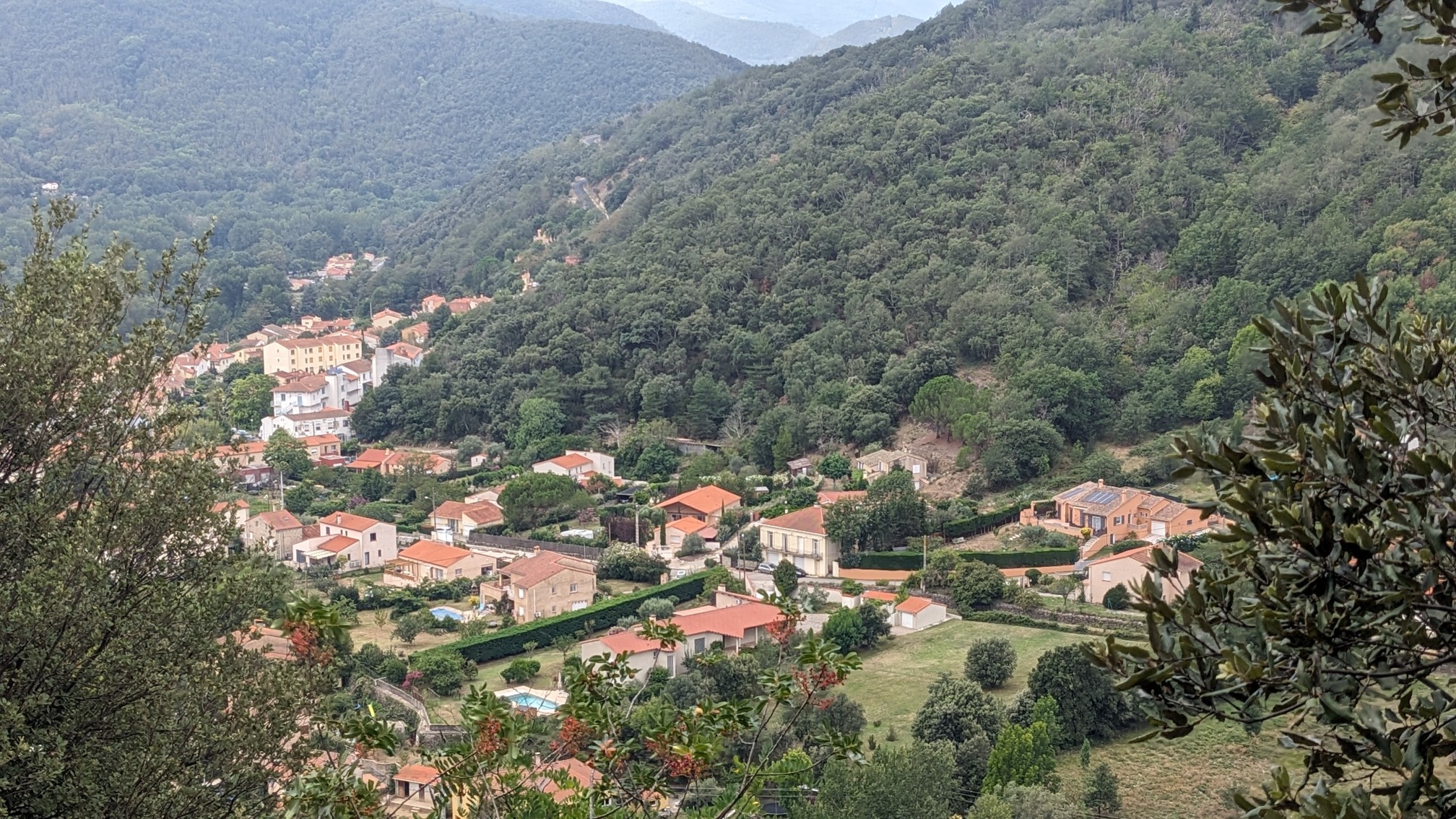
I could finally see the village of Arles-sur-tech, it’s neat how many villages here all have matching orange roofs.
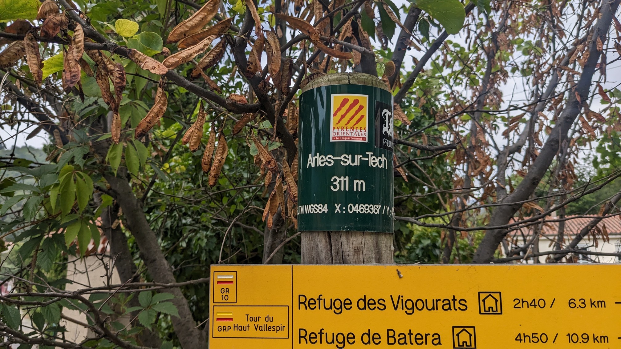
After about 3 hours of descending, I arrived in the village. It felt pretty warm, probably because the elevation was only 300 m.
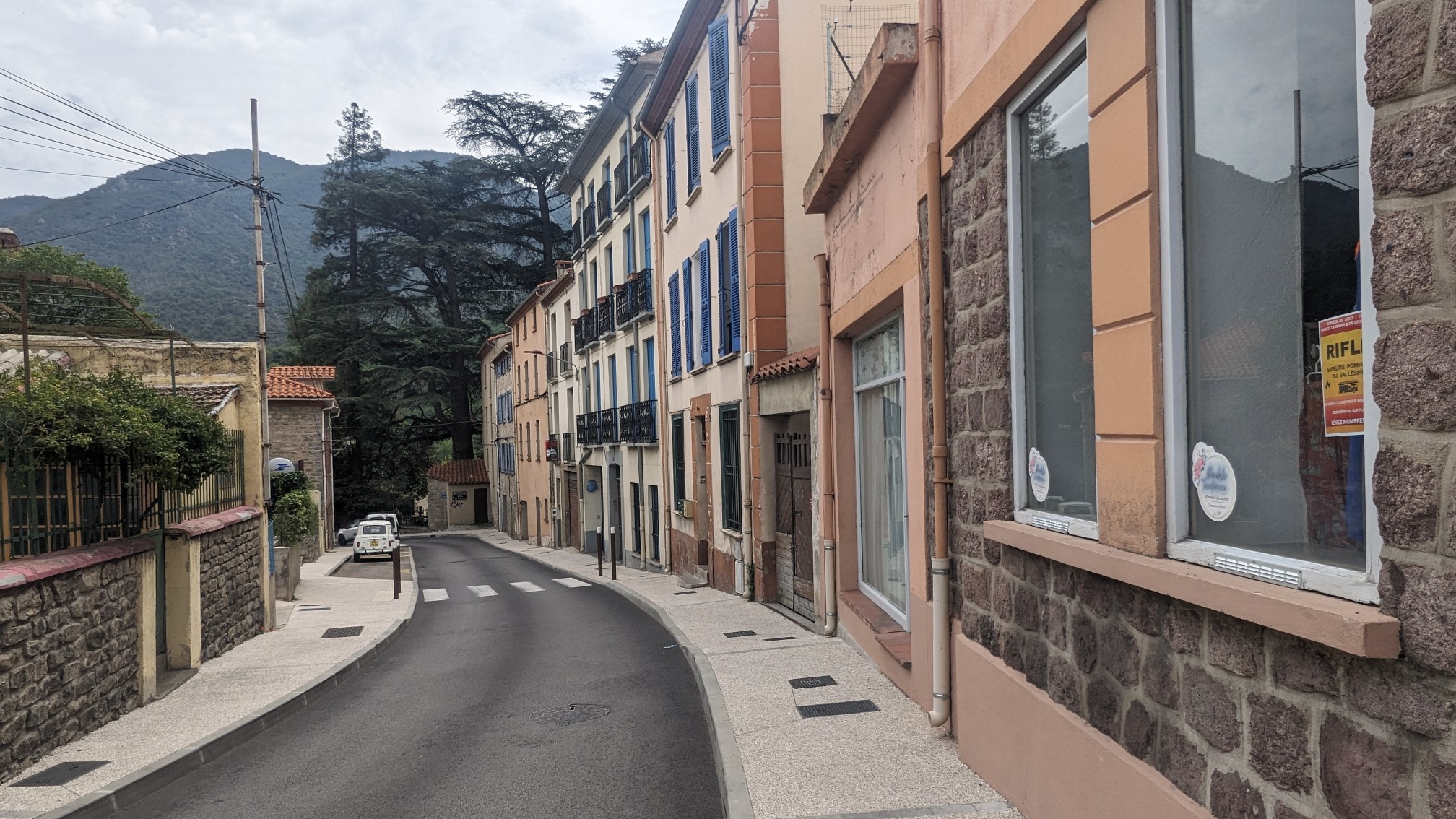
I walked thru the village, and it only took about 10 minutes to get across it.
It was a pretty hot day and I knew I had a steep uphill climb after this, so I stopped at the little grocery store and bought some refreshments.
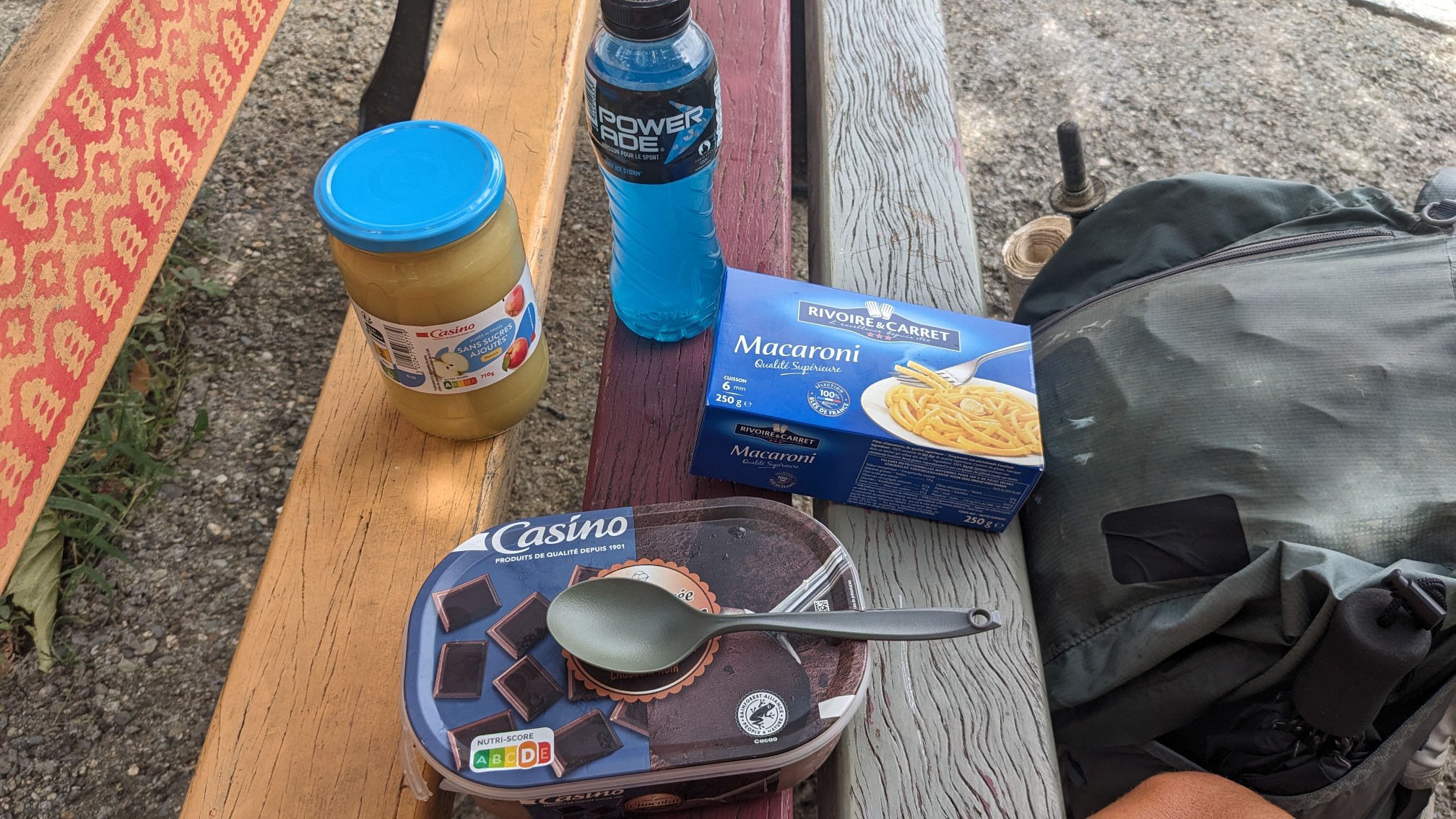
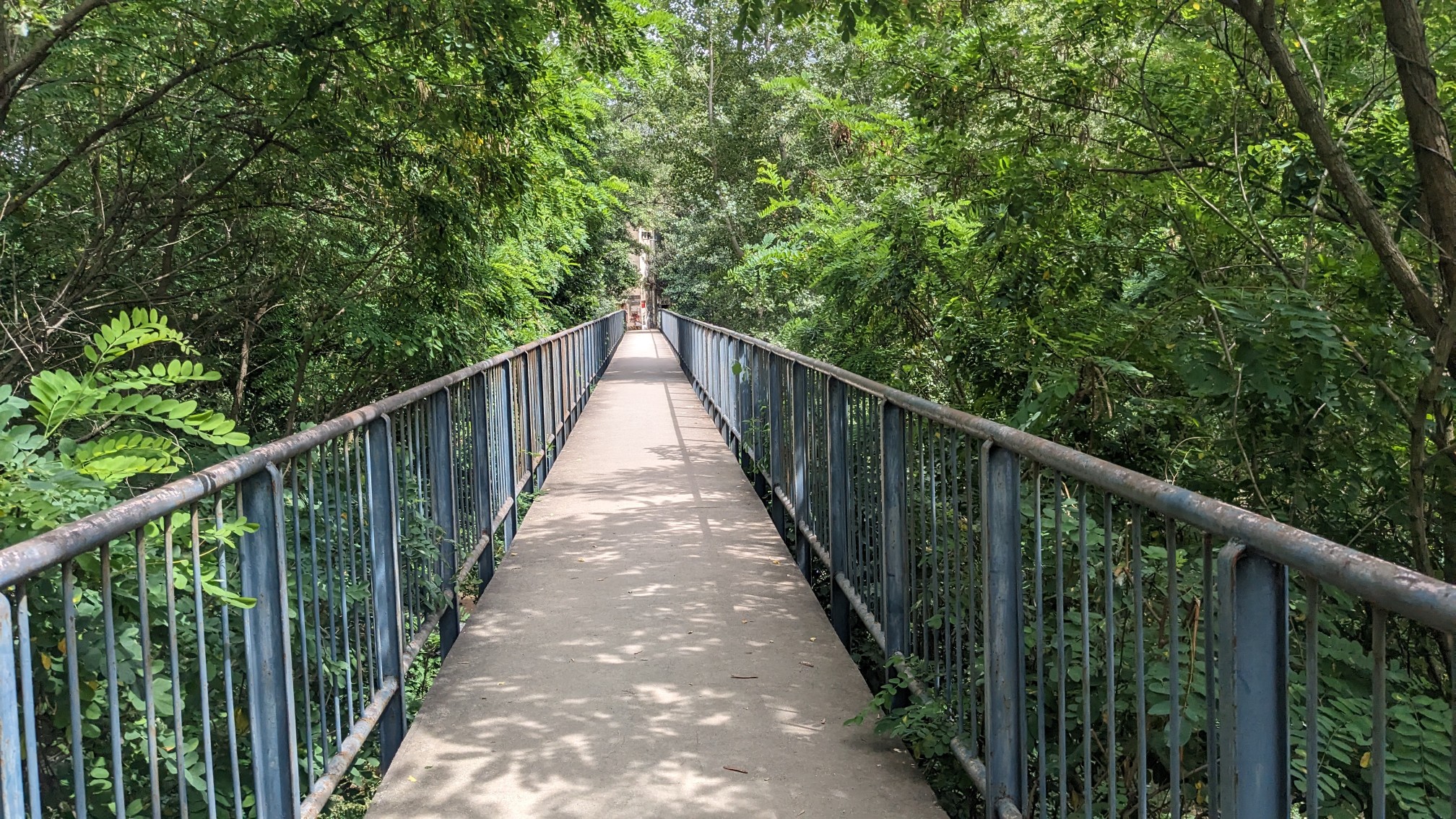
Ice cream, Gatorade, applesauce, and some pasta for dinner tonight! I stuffed myself with most of that food, and then I left town, on a bridge over the Tech River.
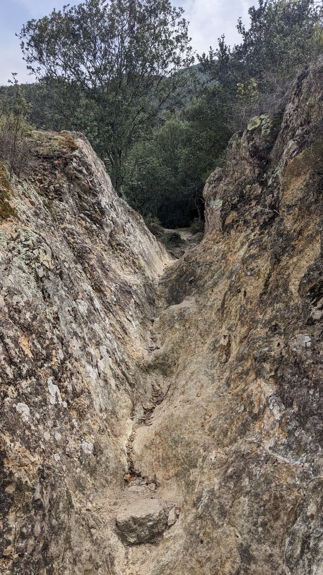
I climbed steeply up the trail out of town, in some places it was so steep that it had eroded a deep channel.
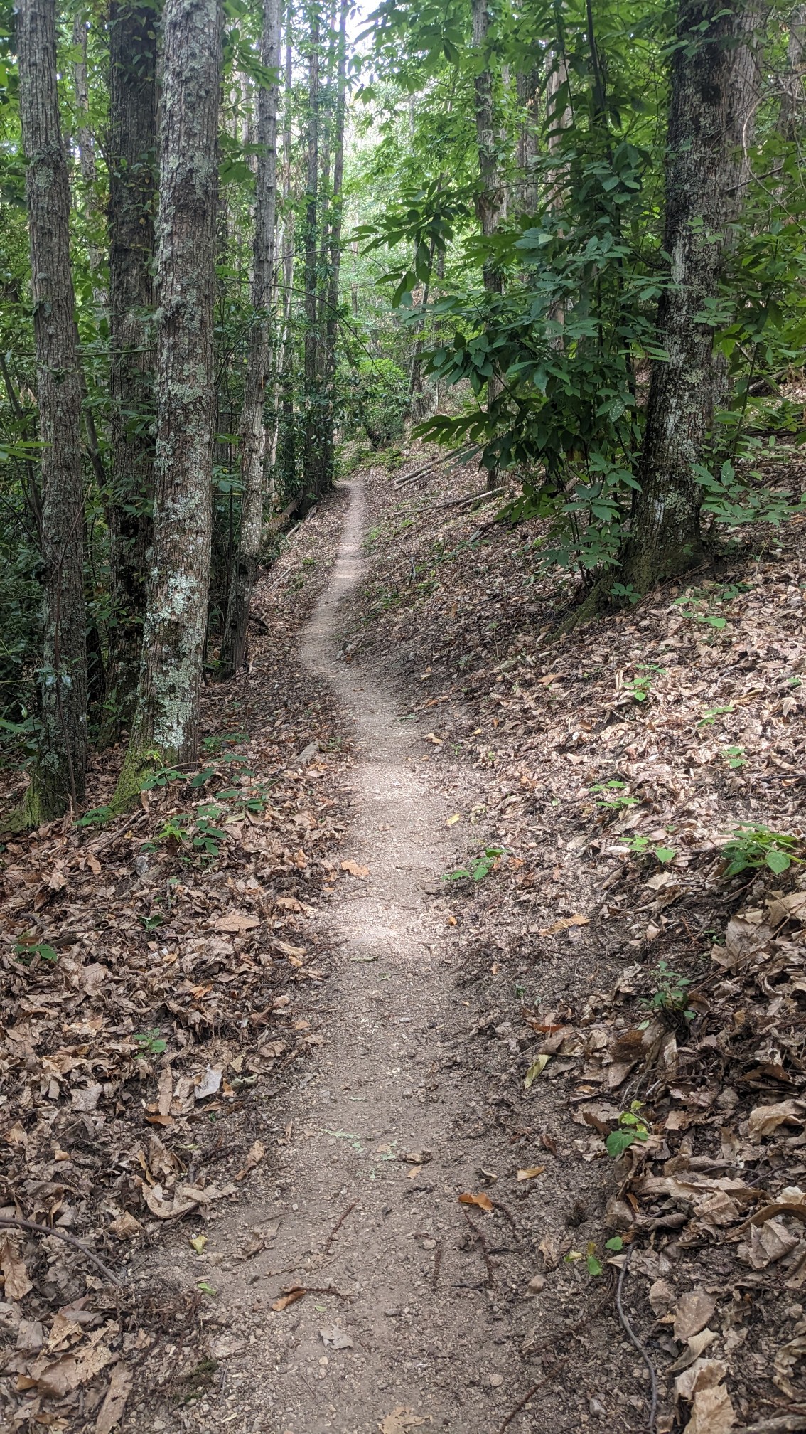
Further up the hillside, the grade lessened and the trail became much more pleasant to hike.
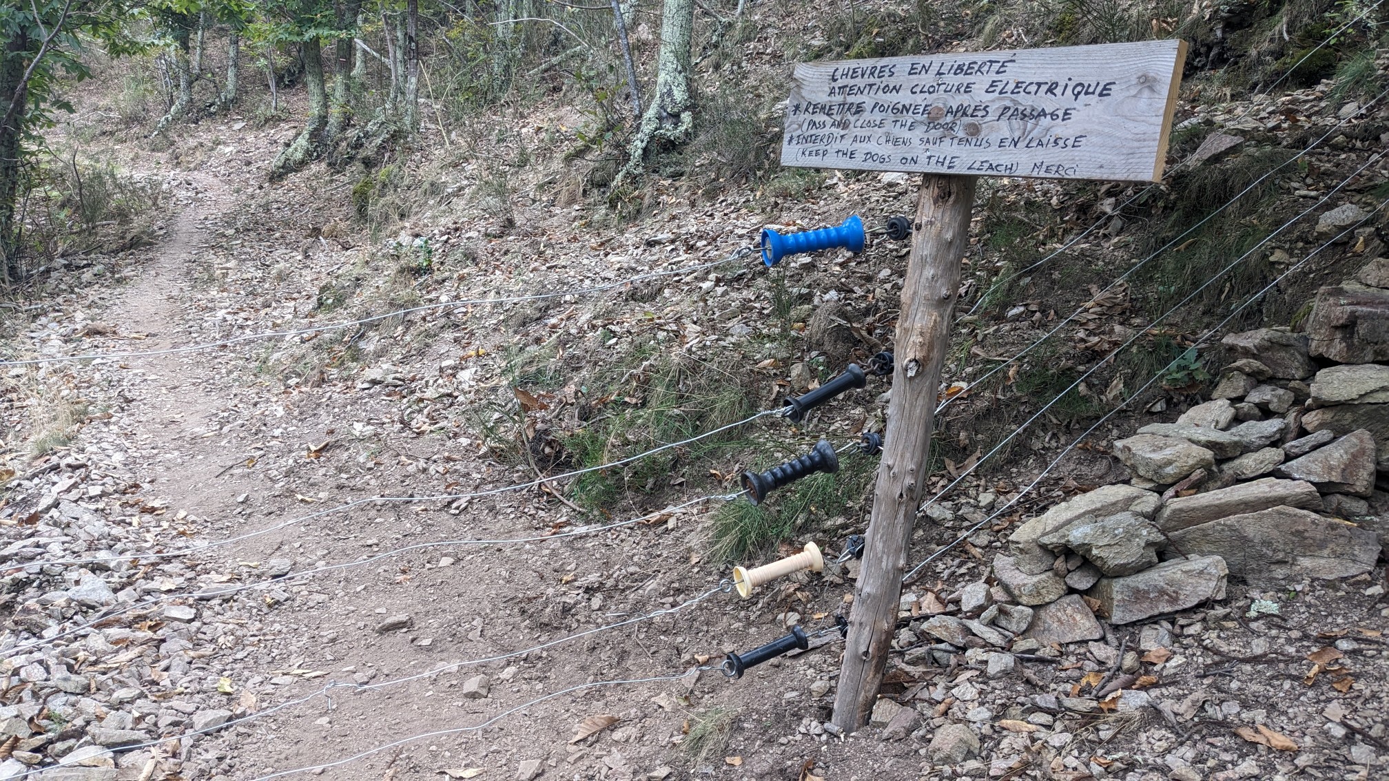
Somewhere near the top of the climb, I stopped and chatted with Simon, a hiker from France. We talked long enough that I managed to stop sweating, ha! Even after that steep climb, the trail was still at a pretty low elevation. There weren’t many views in the forest all afternoon, though there was a funny sign about free-roaming goats.
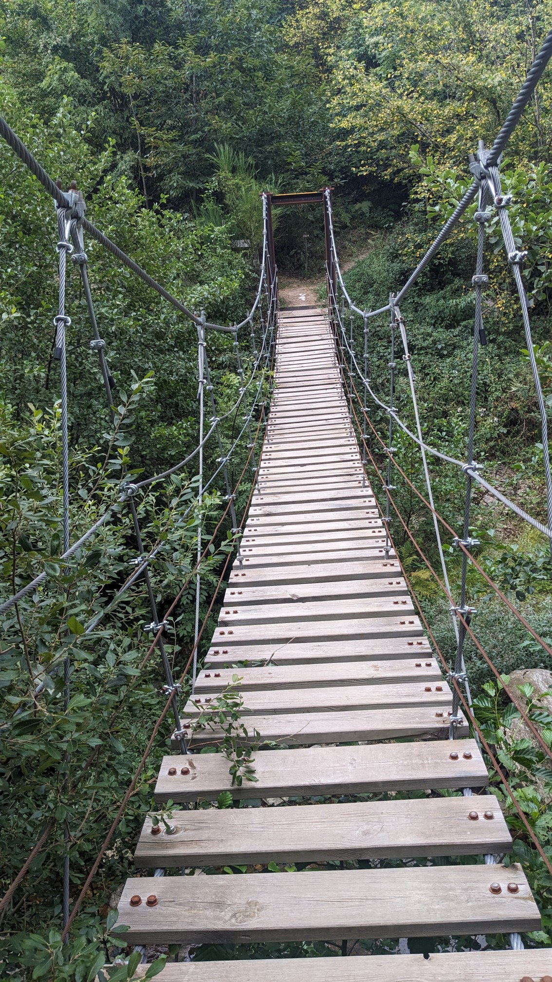
And at one point there was a fun swingbridge to bounce on!
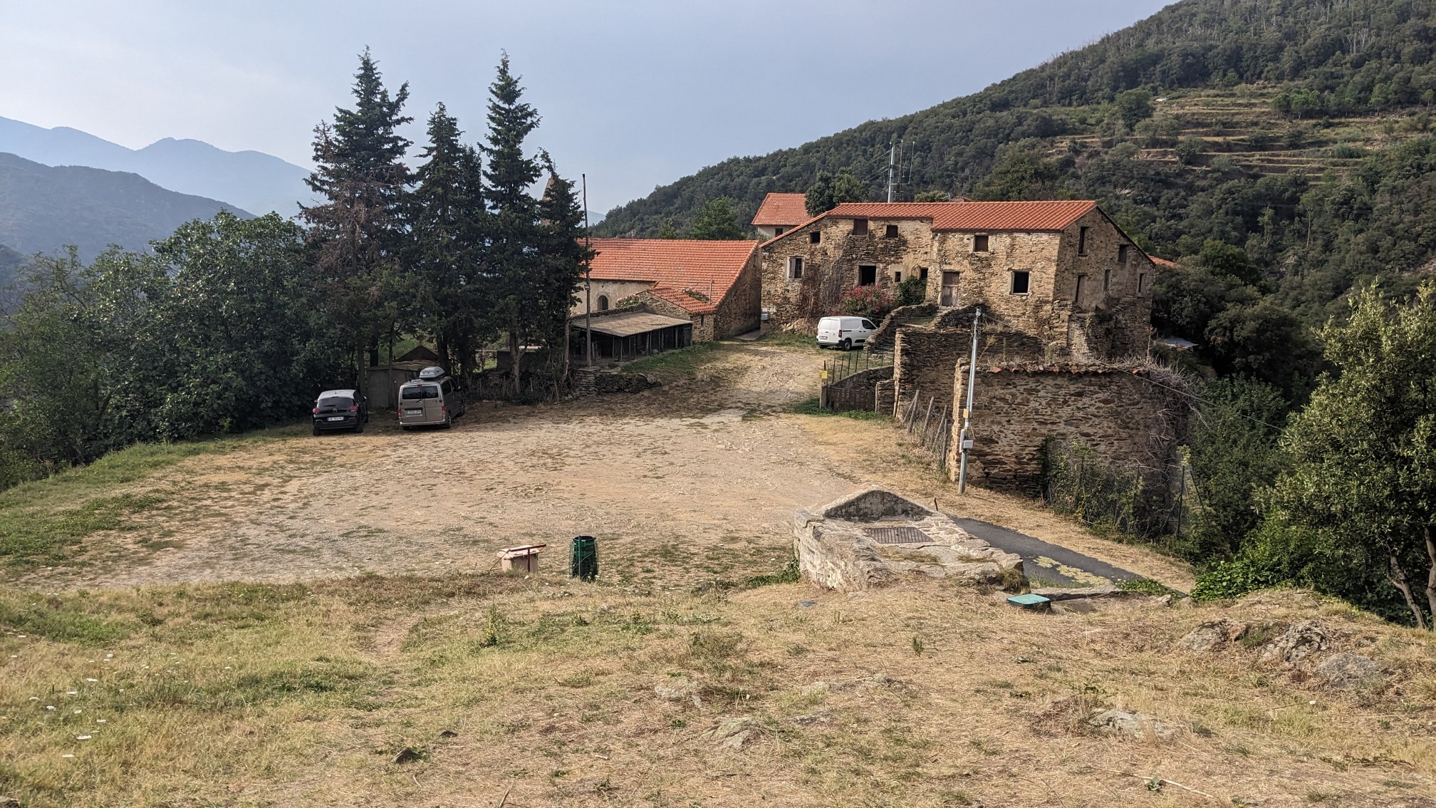
In late afternoon I came to a tiny Hamlet called Montalba d’Amélie. It’s really more just a collection of like three buildings.
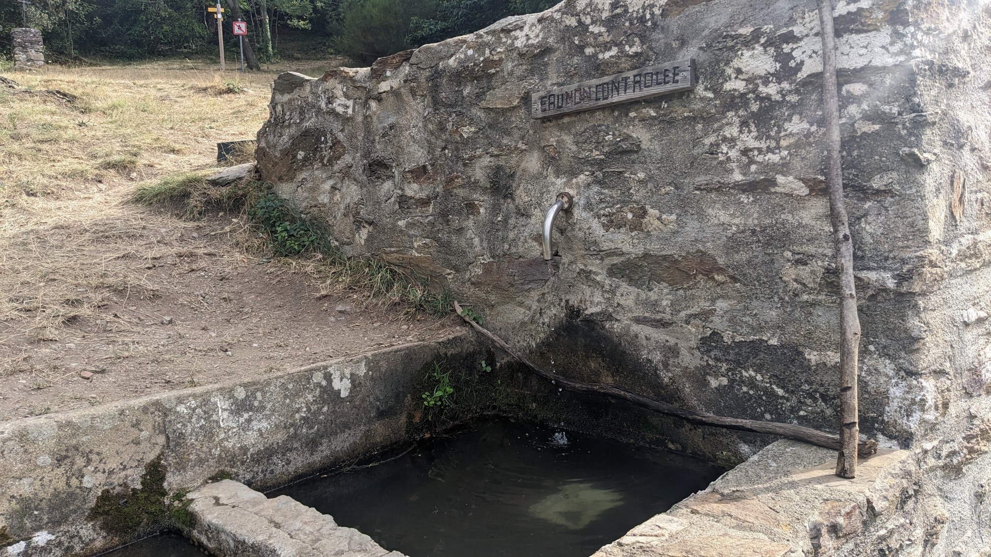
It was a nice little peaceful spot so I took a break, and also refilled my water at the fountain.
I hiked uphill another hour to the spot I planned to camp at, the Mouli Serradou ruins.
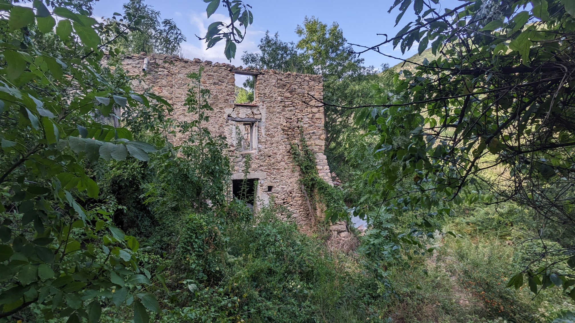
When I got there, there was already a group camp by that old mill ruins, so I backtracked 100 m to a nice flat spot under some old spruce trees. After setting up my tent, I realized I probably only have one more night of camping on this hike. It really seemed to go by fast towards the end!