Tuesday November 28, 27.5km/17.1mi
Base of Harquahala Mountain (315.5/2360ft) to US Highway 60 (334.5/2000ft) (AZ) -1.9mi shortcut
We were aiming to get to town today, and knew we had a big 3,000 ft climb ahead of us, so we started early at 6:15am. We used headlamps for the first 30 minutes before it became light enough to turn them off. The moon was setting and it was really bright!
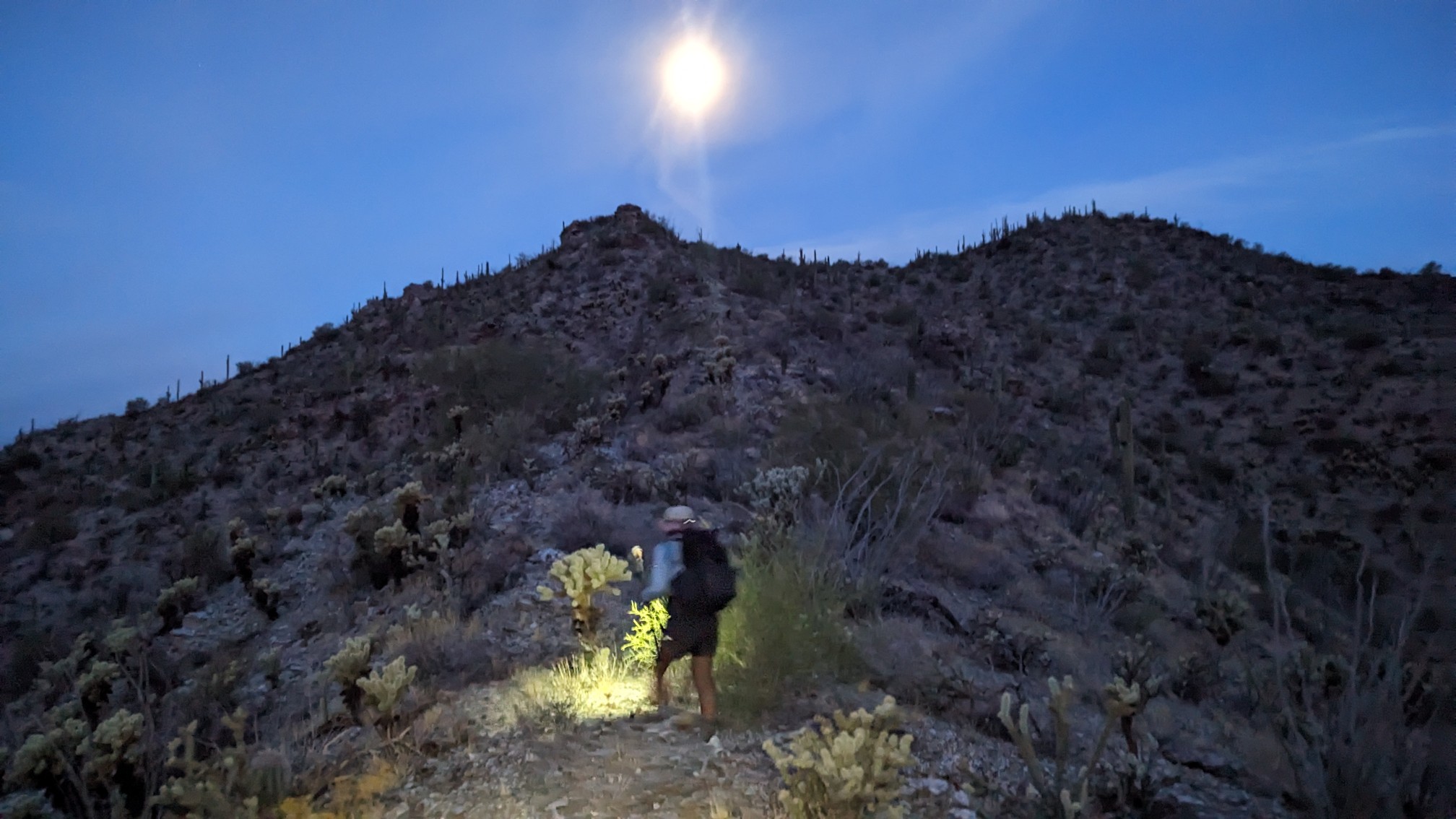
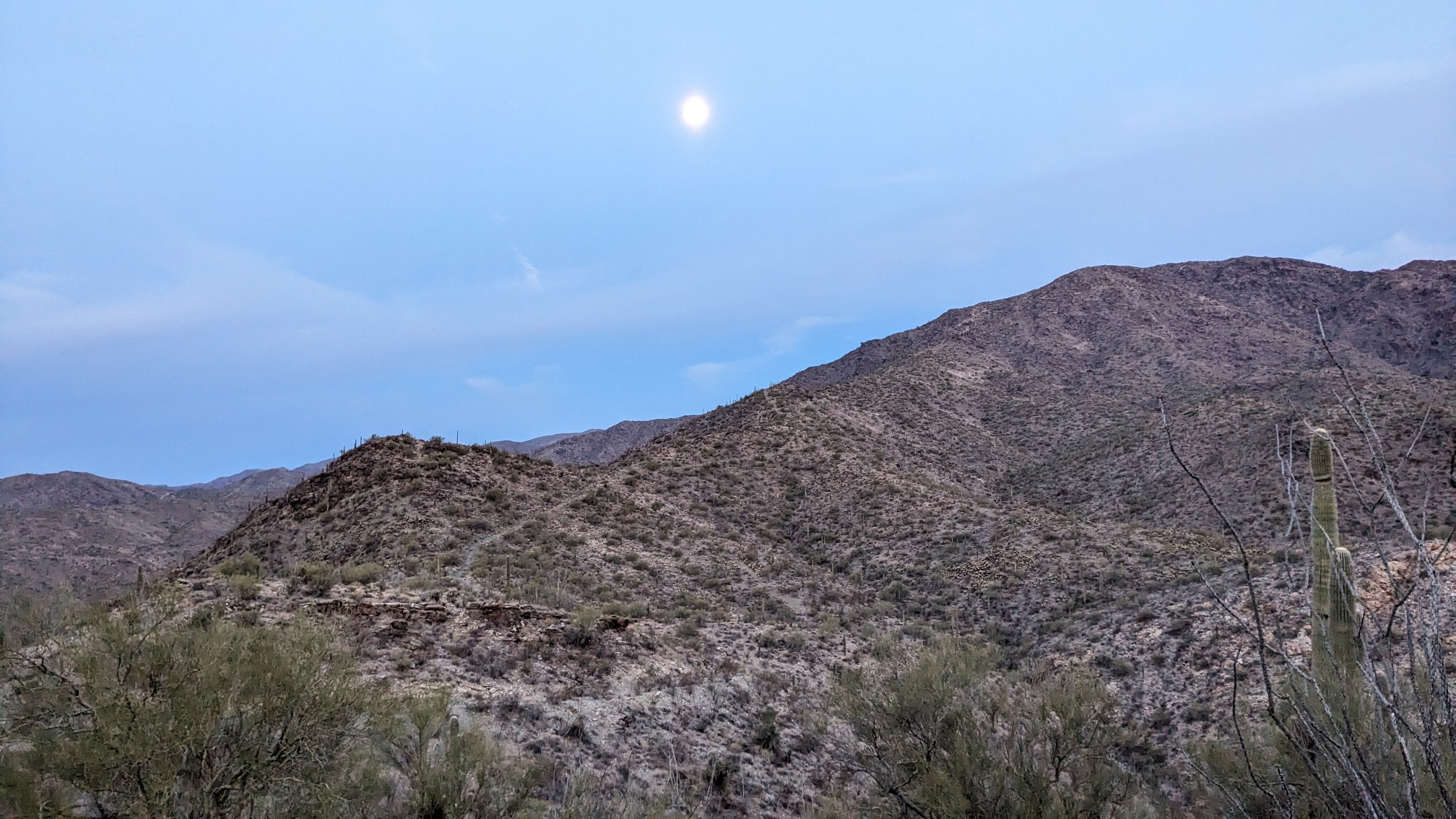
Looking ahead to what we had to climb.
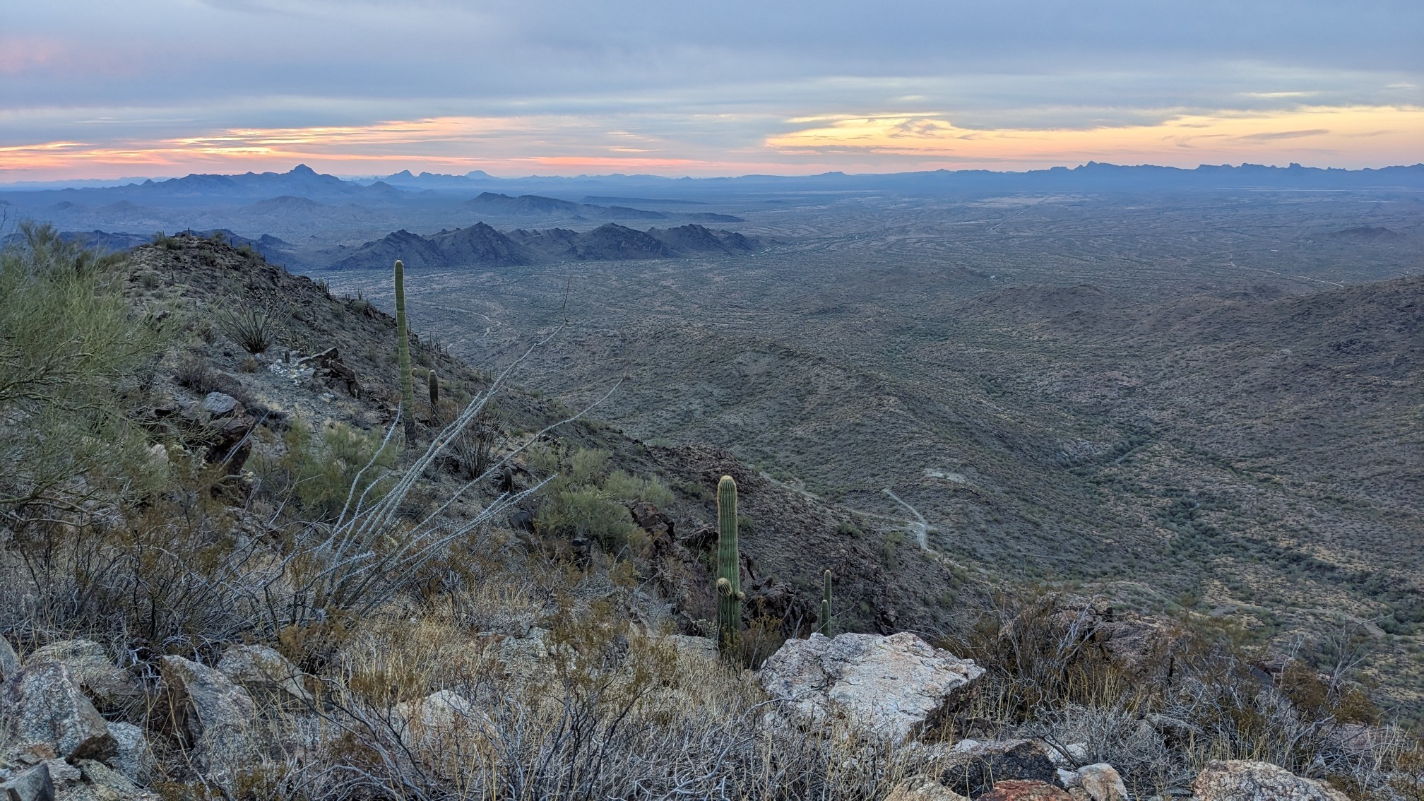
About halfway up the ridge, I looked behind me and saw the entire valley that we had hiked through yesterday.
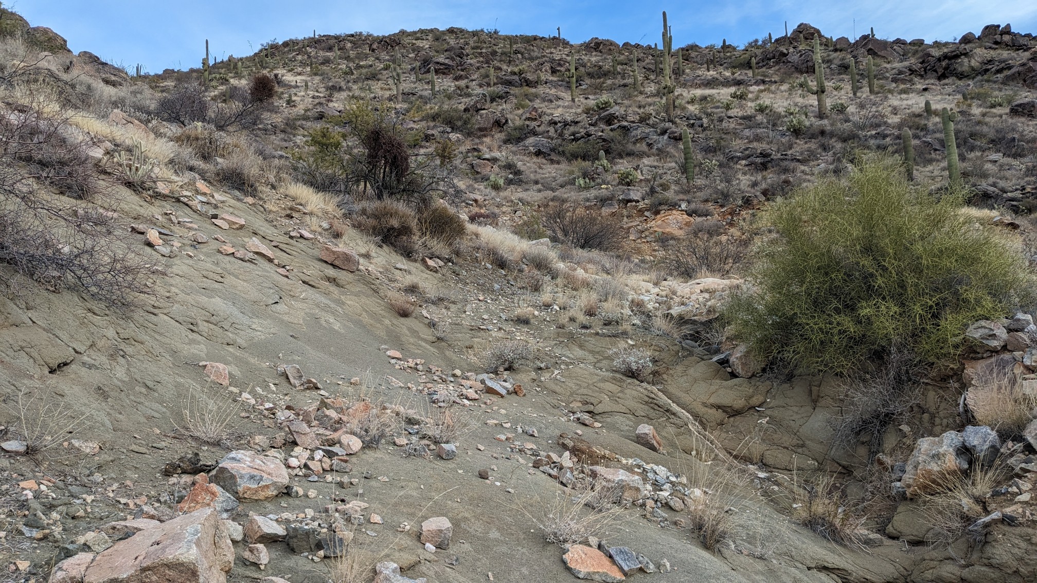
For most of the hike to the summit, we followed an old eroded jeep road.
Towards the top the road got better and smoother.
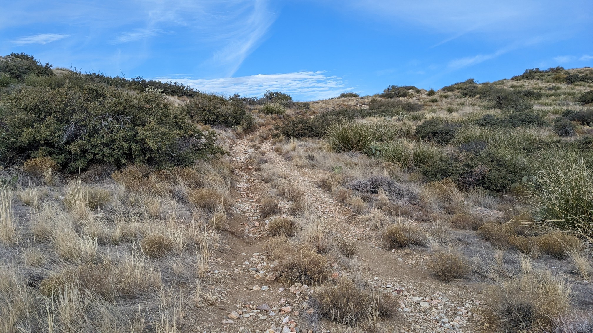
Just before we got to the summit, the clouds started to disperse and it warmed up a little bit. Even so, it was pretty chilly up at 5600ft elevation.
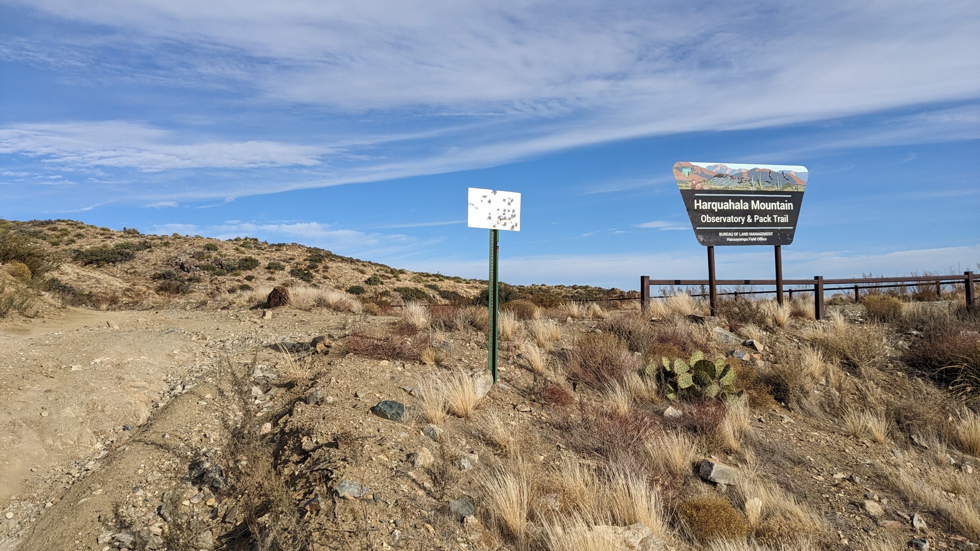
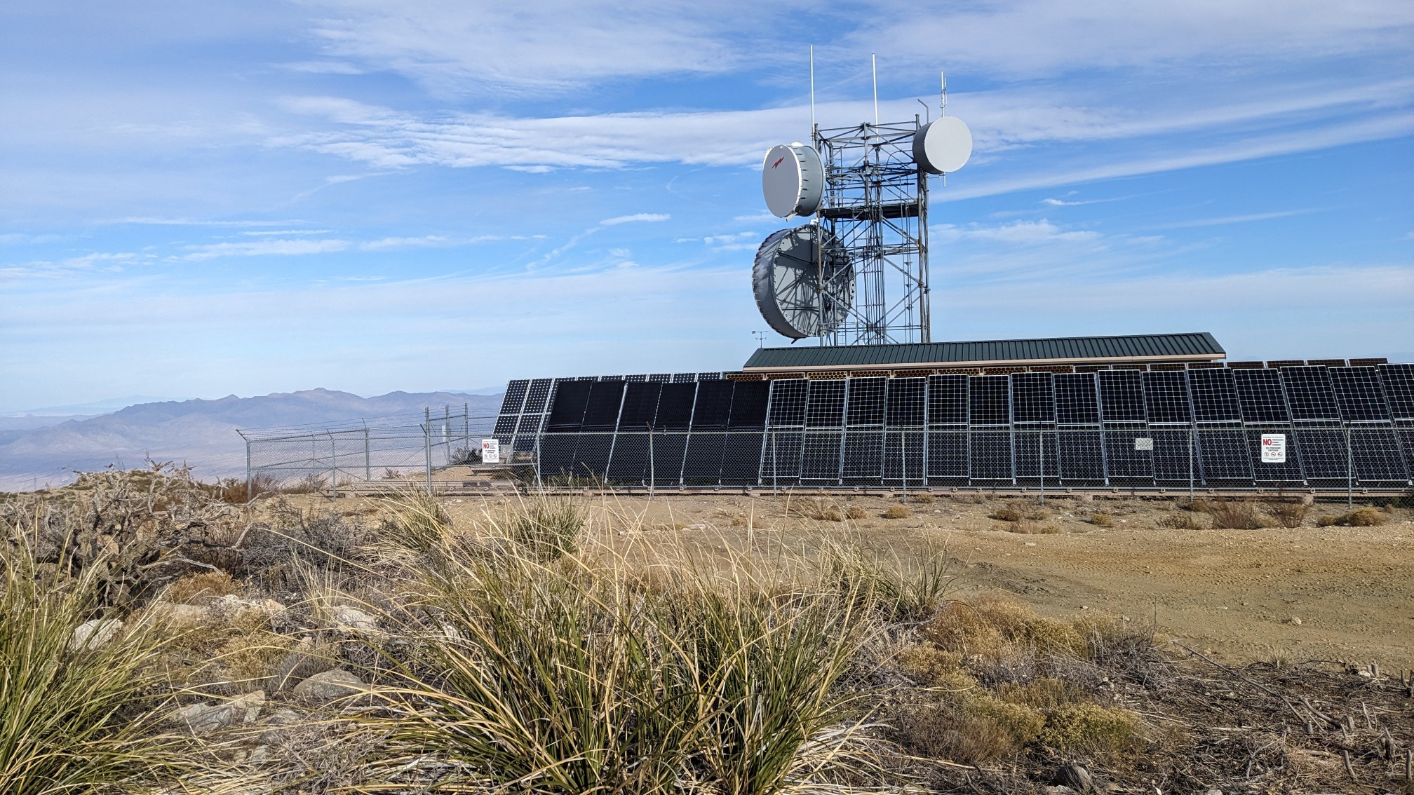
Of course, since there was a road to the summit, there were also a bunch of communication towers and equipment.
I went and found the summit marker, which was embedded in a little boulder.
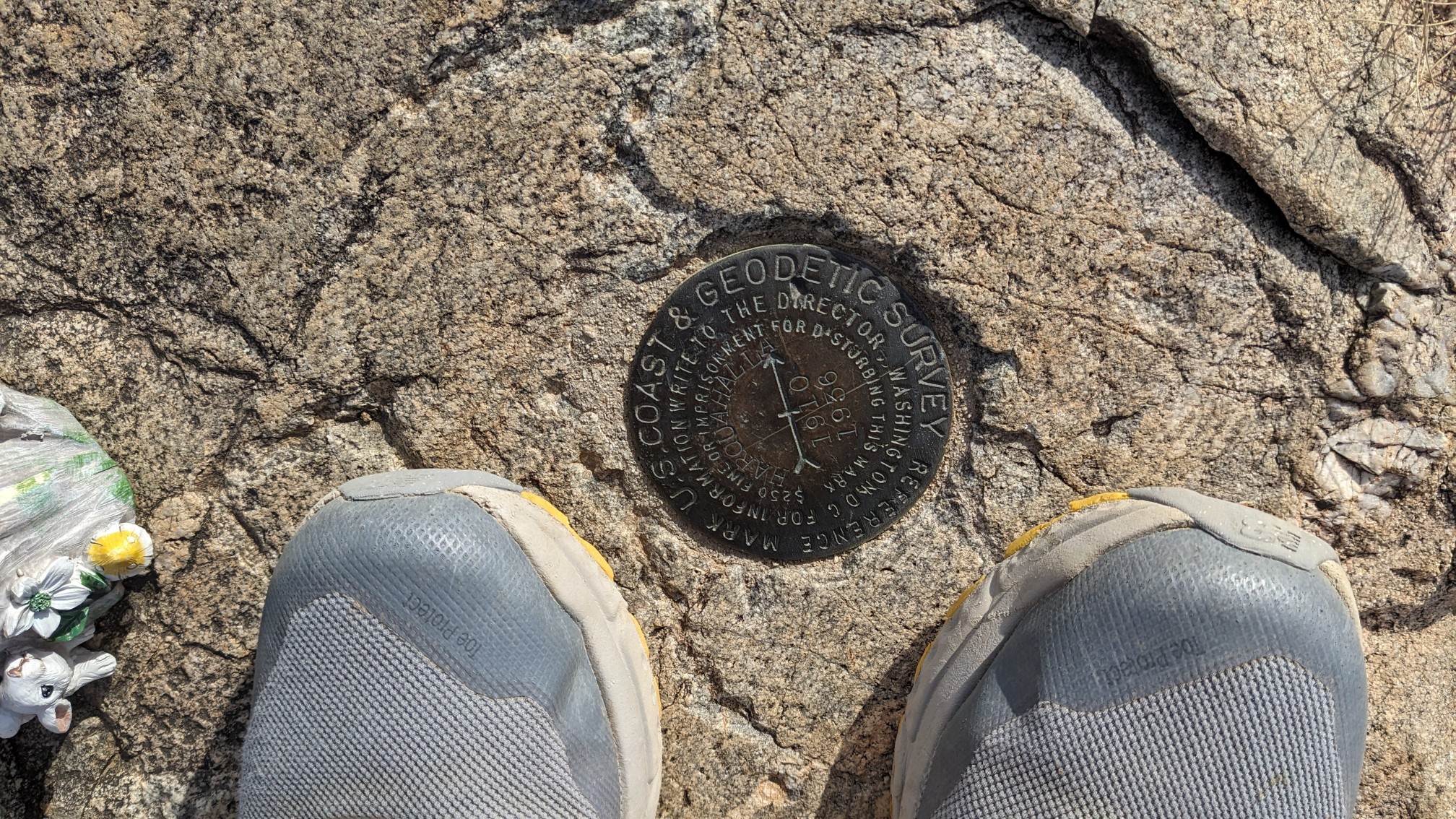
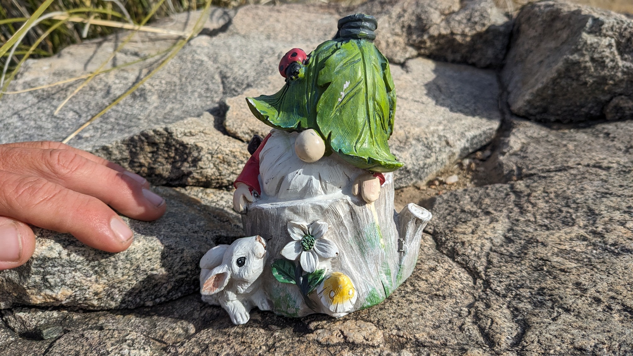
And nearby, somebody had cleverly placed a half dozen little gnomes. This one was right next to the summit marker, ha!
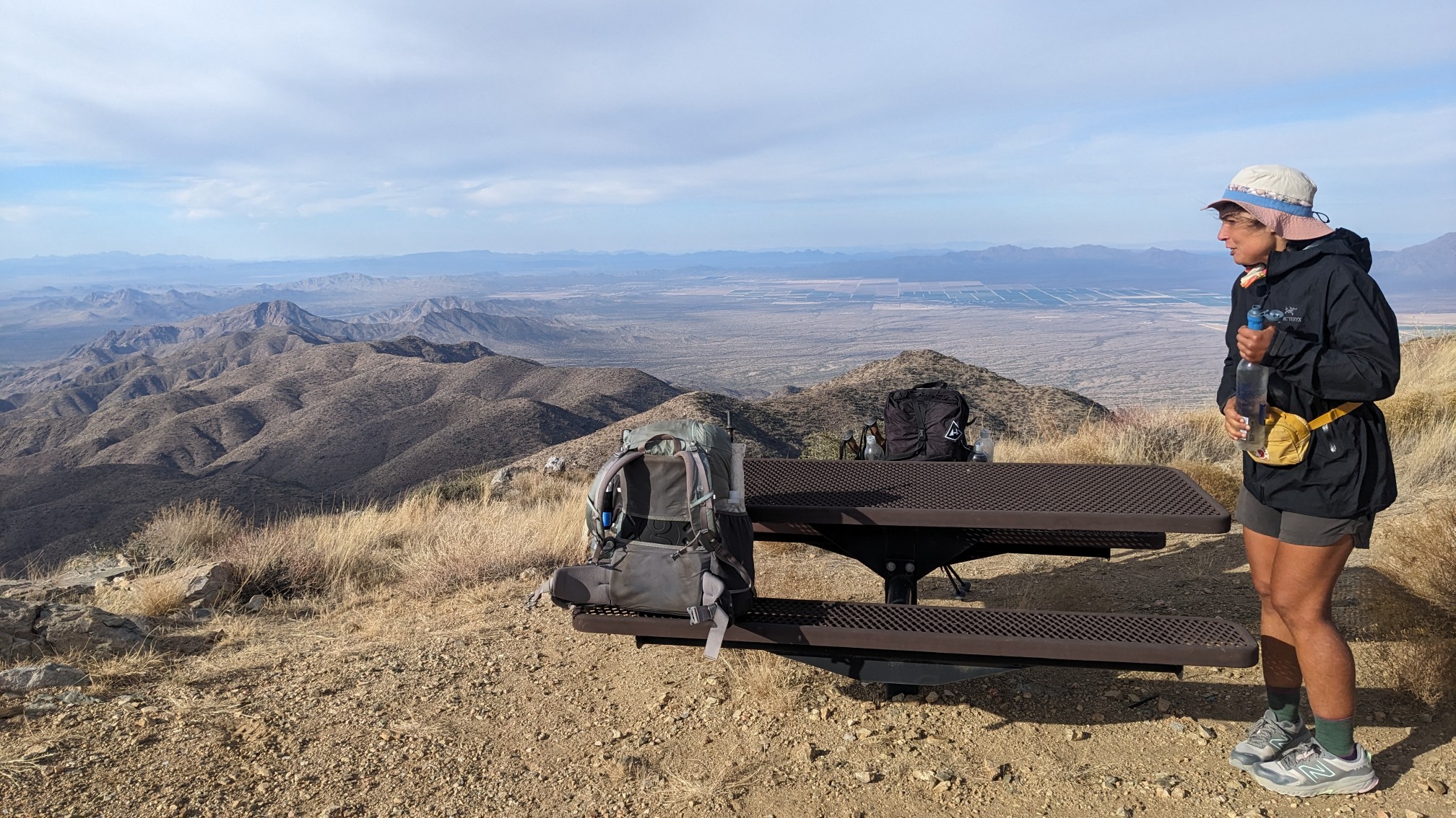
We also found a picnic table near the summit, which was a perfect opportunity to sit down and relax. I love finding random picnic tables in the wilderness!
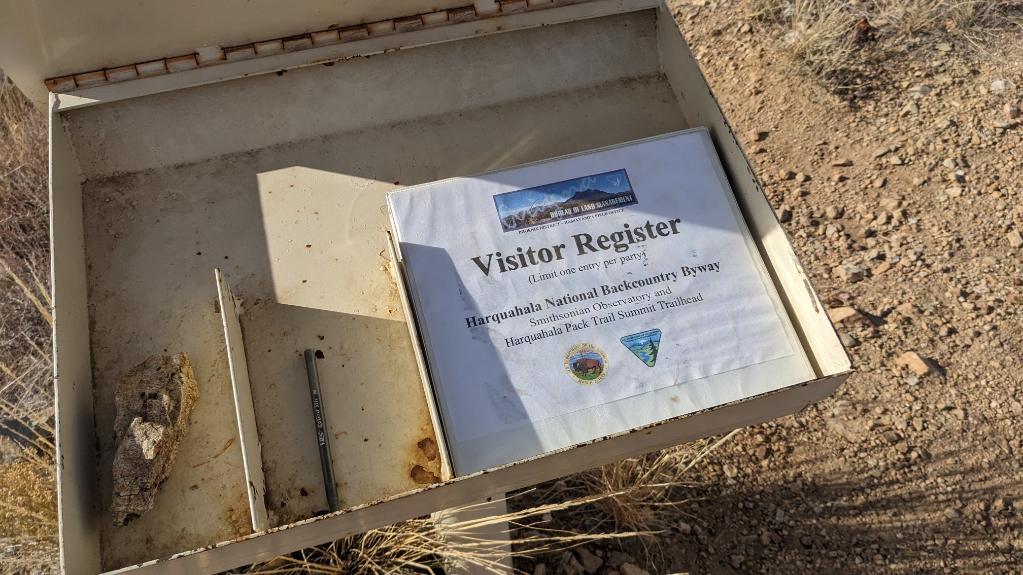
There was even a trailhead register, it didn’t have many people signed in but I was sure to add our names to it.
It was pretty windy on the summit and still a little chilly, so after 15 minutes we started our hike down the other side.
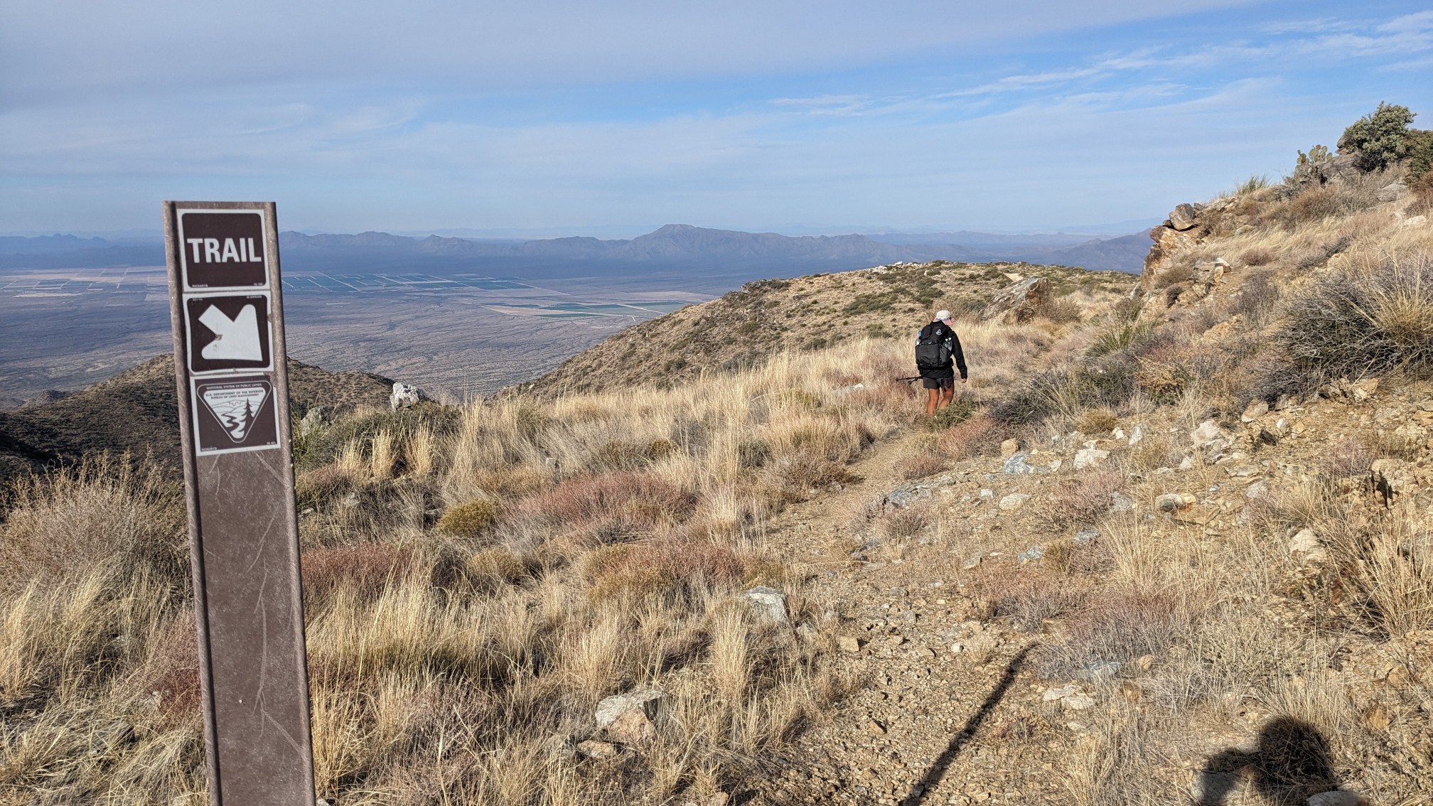
I was happily surprised to see a very nice switchbacked trail down to the valley. It started off along the ridge…
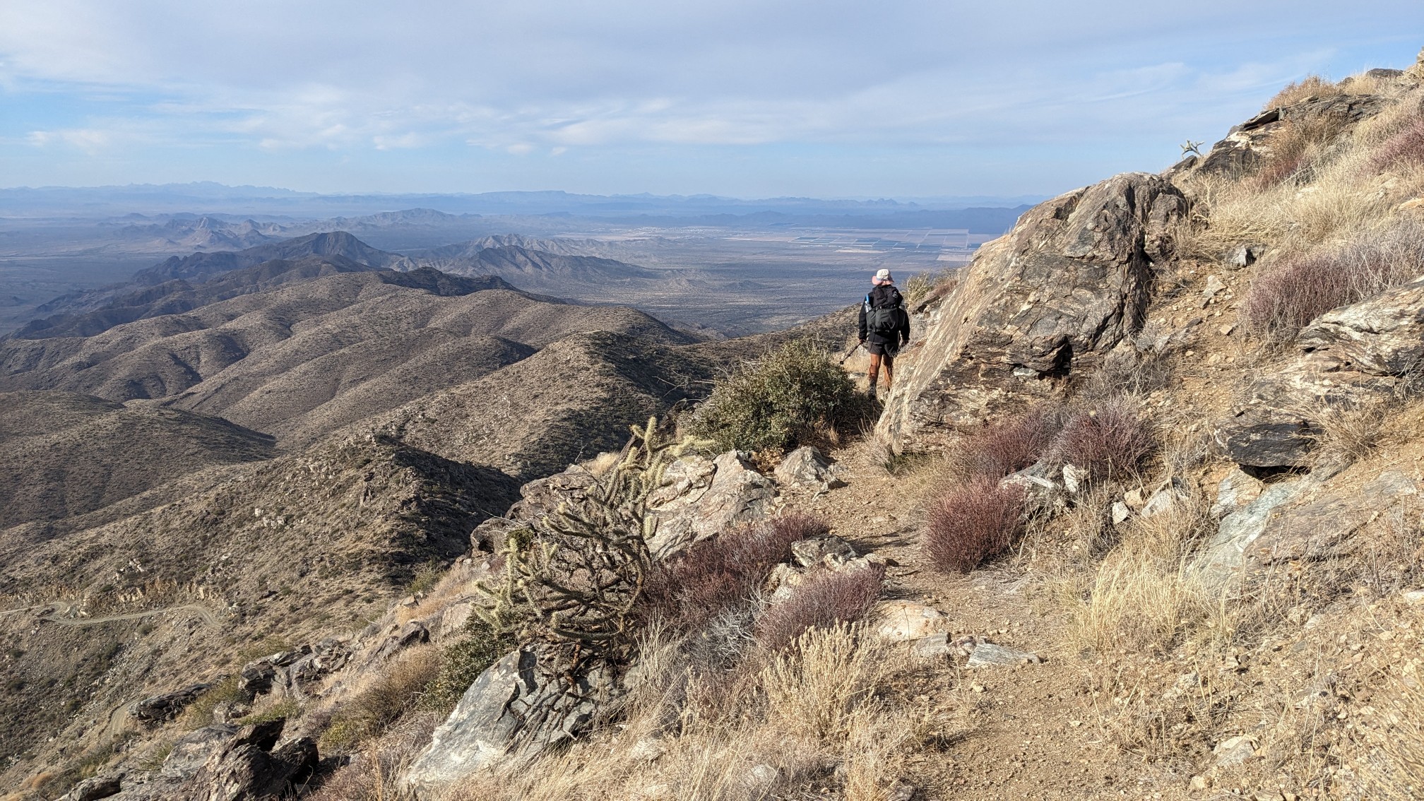
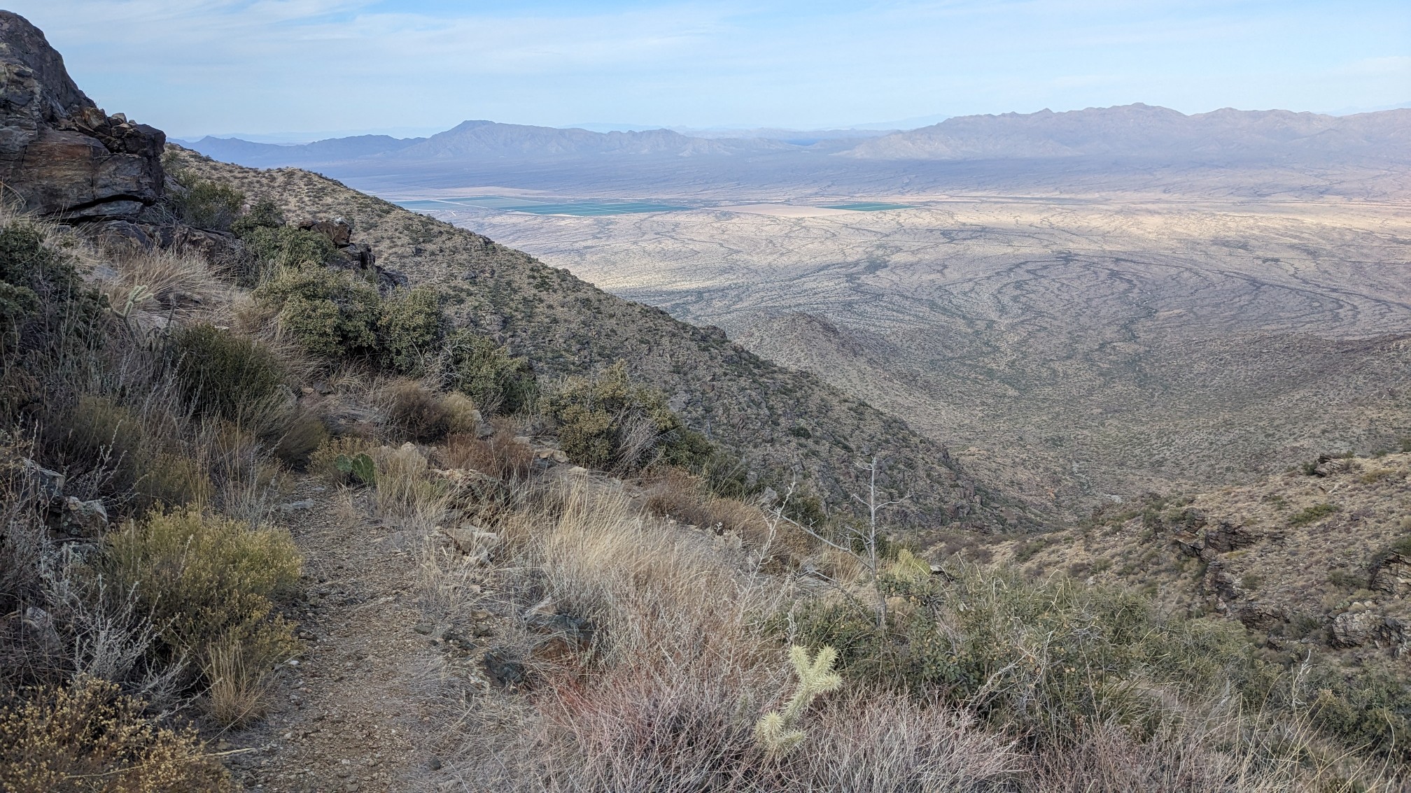
… And then started dropping down rapidly.
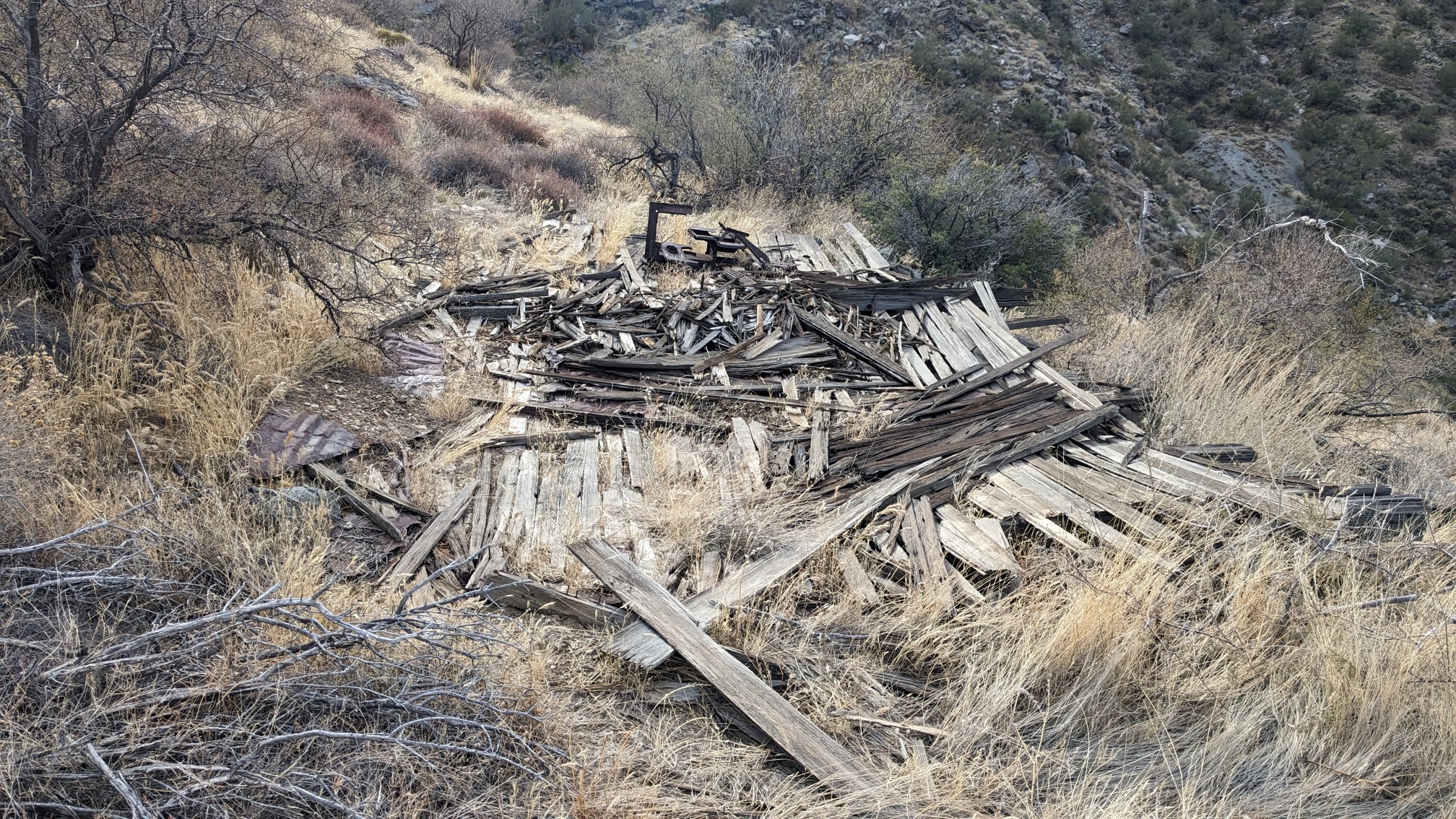
Near the bottom of the descent, we passed by the ruins of an old mining cabin.
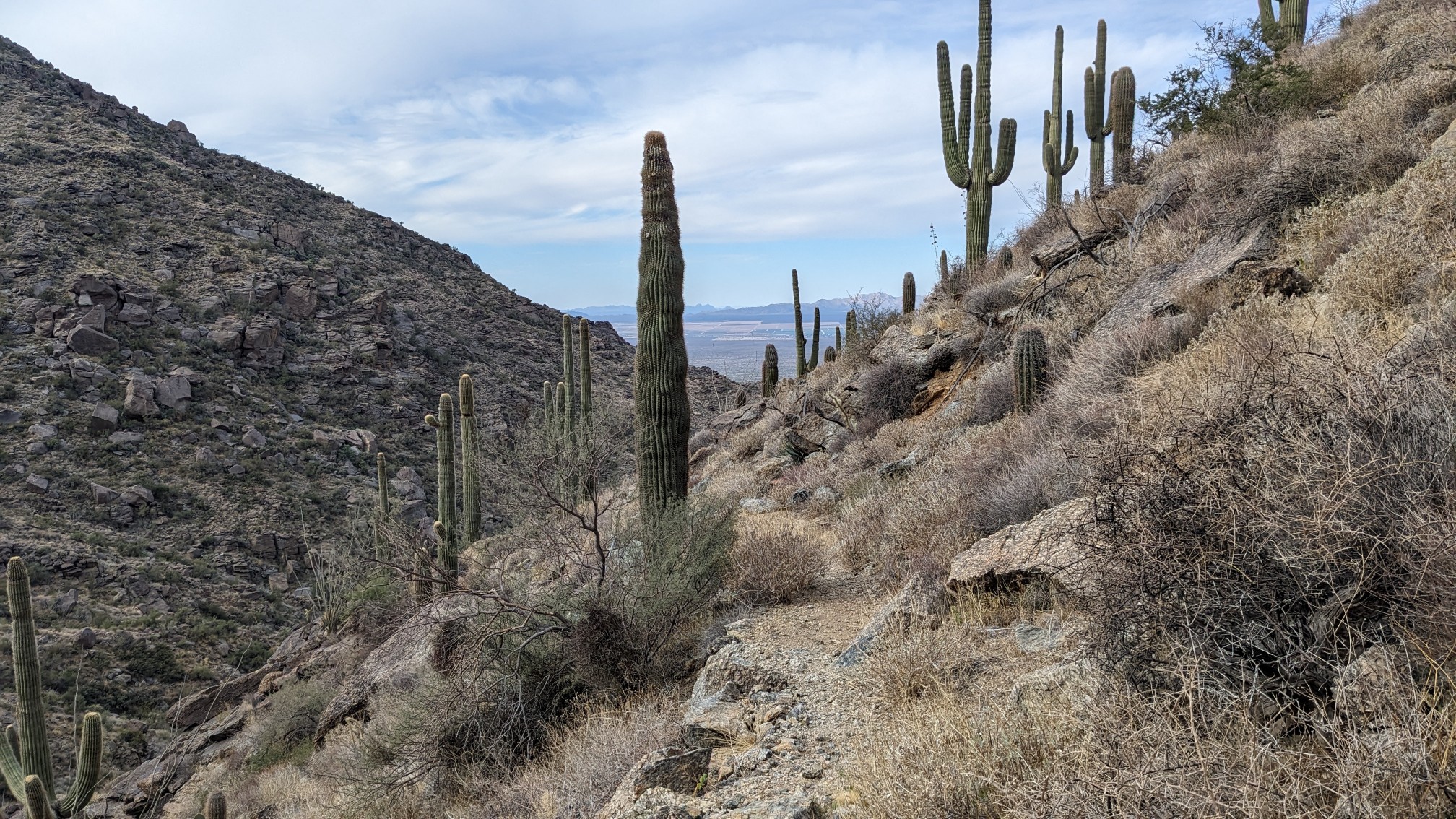
And then we were at a low enough elevation to see the Saguaros again.
We took a short break at the trailhead for lunch, and looked at our maps. We had about 9 more miles of hiking to do and we were hoping to get to town at 4:30 before the post office closed. We planned a small shortcut which cut off almost 2 miles, and we arrived at the highway at 3pm. It’s a remote road with little traffic, so it took us almost 30 minutes to get a ride but we made it into the town of Wenden. I picked up my box of food at the post office, and then we walked next door to the general store so TopShelf could also buy some supplies.
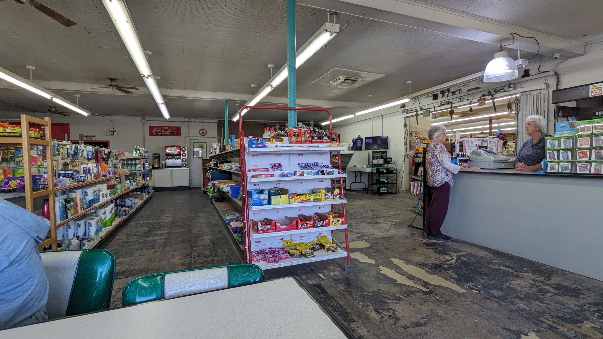
There isn’t much else in Wenden, so we then hitched again a further 5 miles to the little town of Salome, where we stayed at the KOA campground.
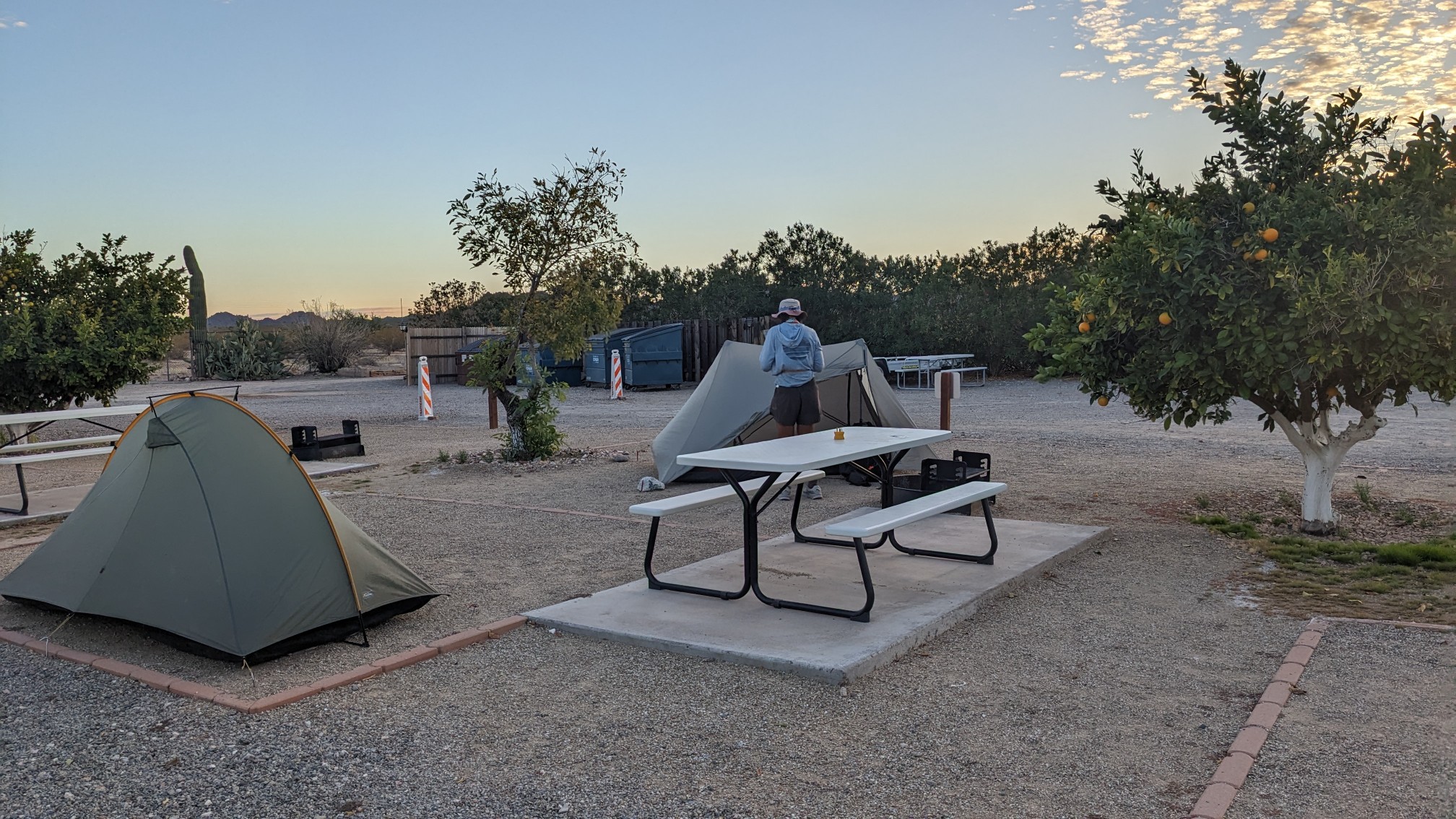
After we had set up our tents we walked next door to the Salome restaurant, which was a small little establishment with amazing food and friendly staff.
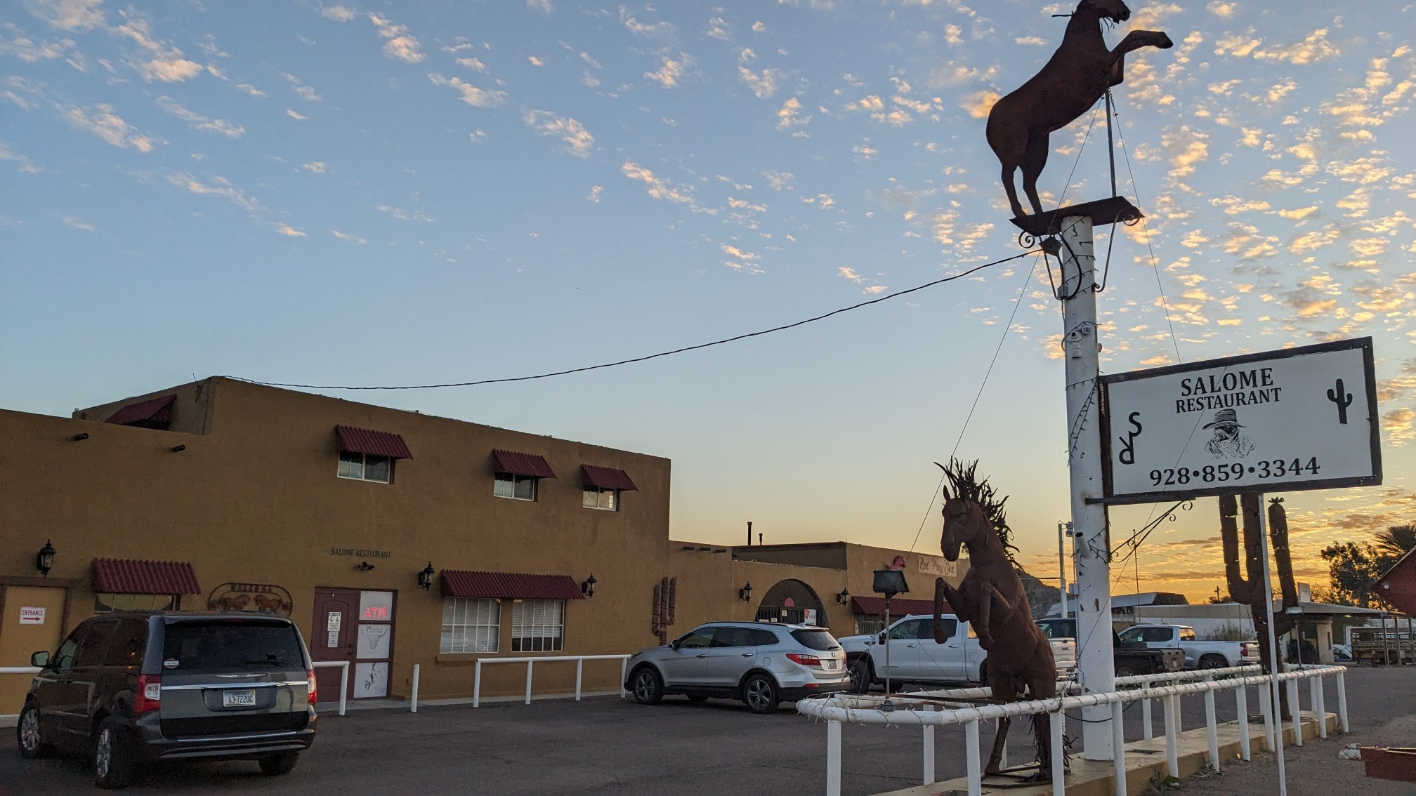
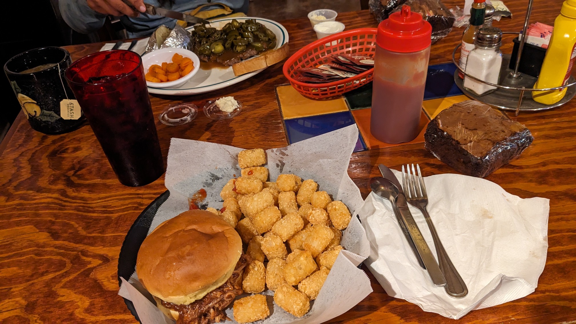
We ate quickly since they closed at 6pm, and we were back at the campground at 6:30. The KOA had a nice lounge room with a TV and some sofas, so we relaxed and watched some old movies.
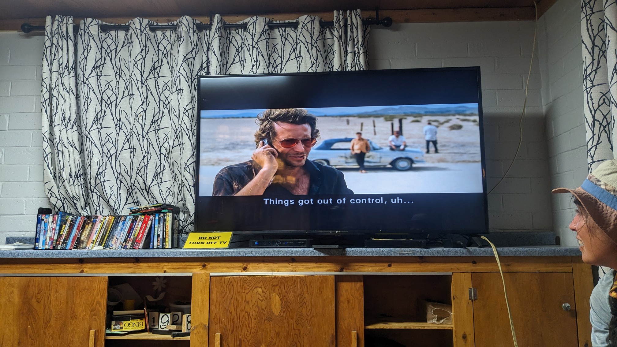
A perfect relaxing end to a strenuous hiking day!