Monday May 27, 20.8mi/33.5km
Lanphier Canyon TH (434.3/5770ft) to Government Mesa (454.3/7080ft) (Arizona) +0.8mi to Devil’s Monument
I was packing up at my little camp spot at 6am and two guys walked by, they must have gotten an early start from somewhere! I was 5 minutes behind them, though I never saw them again. The trail started out really nice, as it gradually climbed through a lush green canyon.
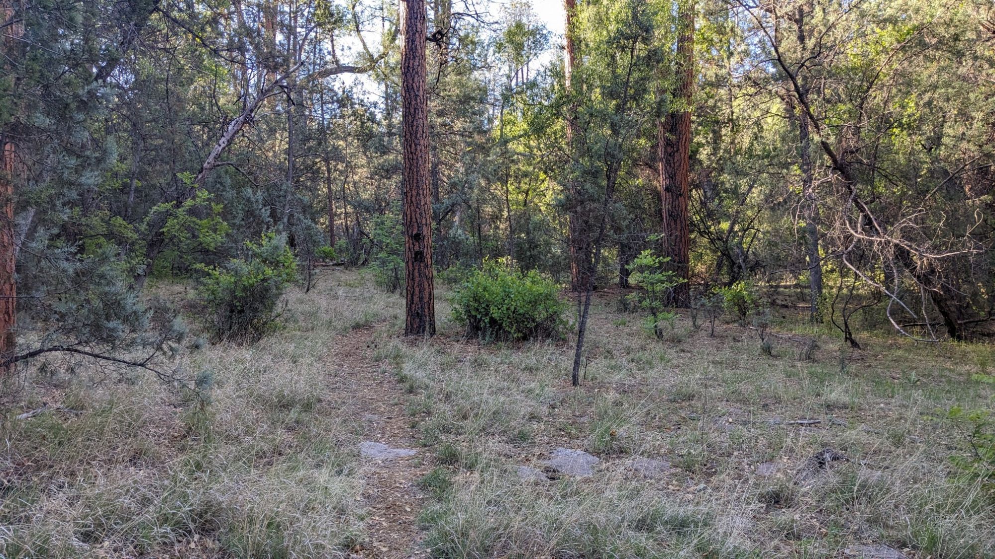
With all the greenery, it also meant I had to be on the lookout for this plant.
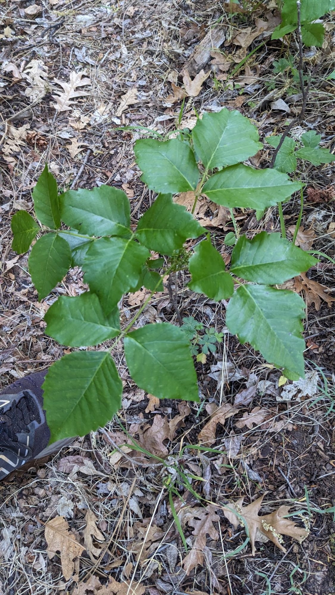
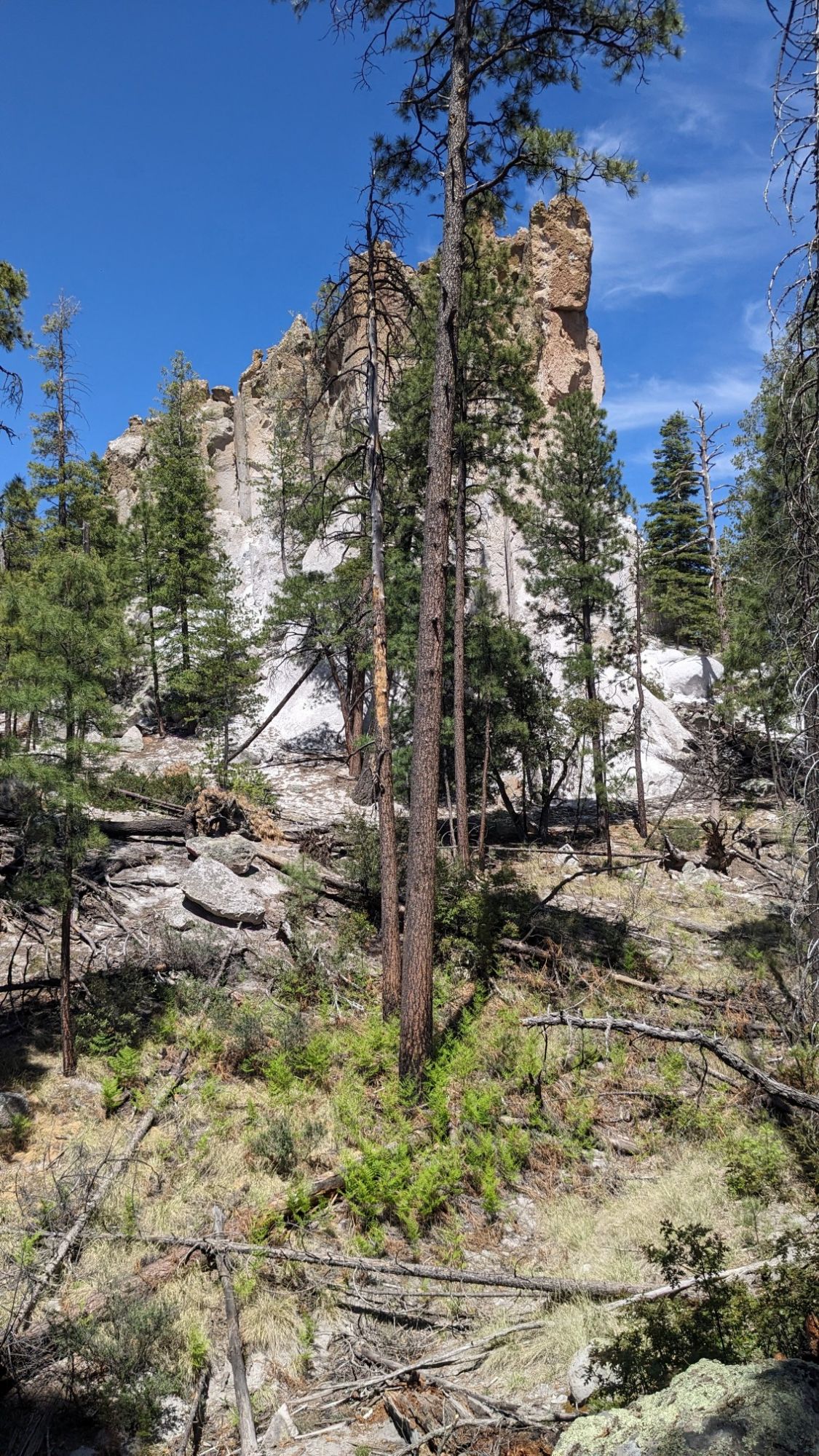
The little canyon had the coolest little rock walls, it was like some sort of conglomerate rock.
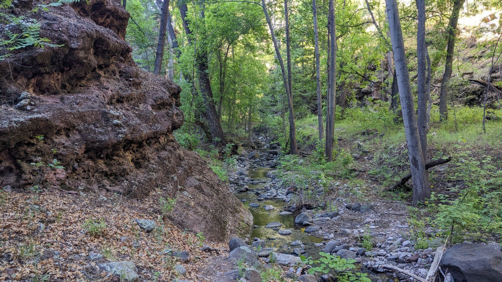
After an hour of that, I climbed up more steeply and left the canyon. There was a little spring next to one of the switchbacks, and somebody had put a bucket underneath to catch the nice cold water.
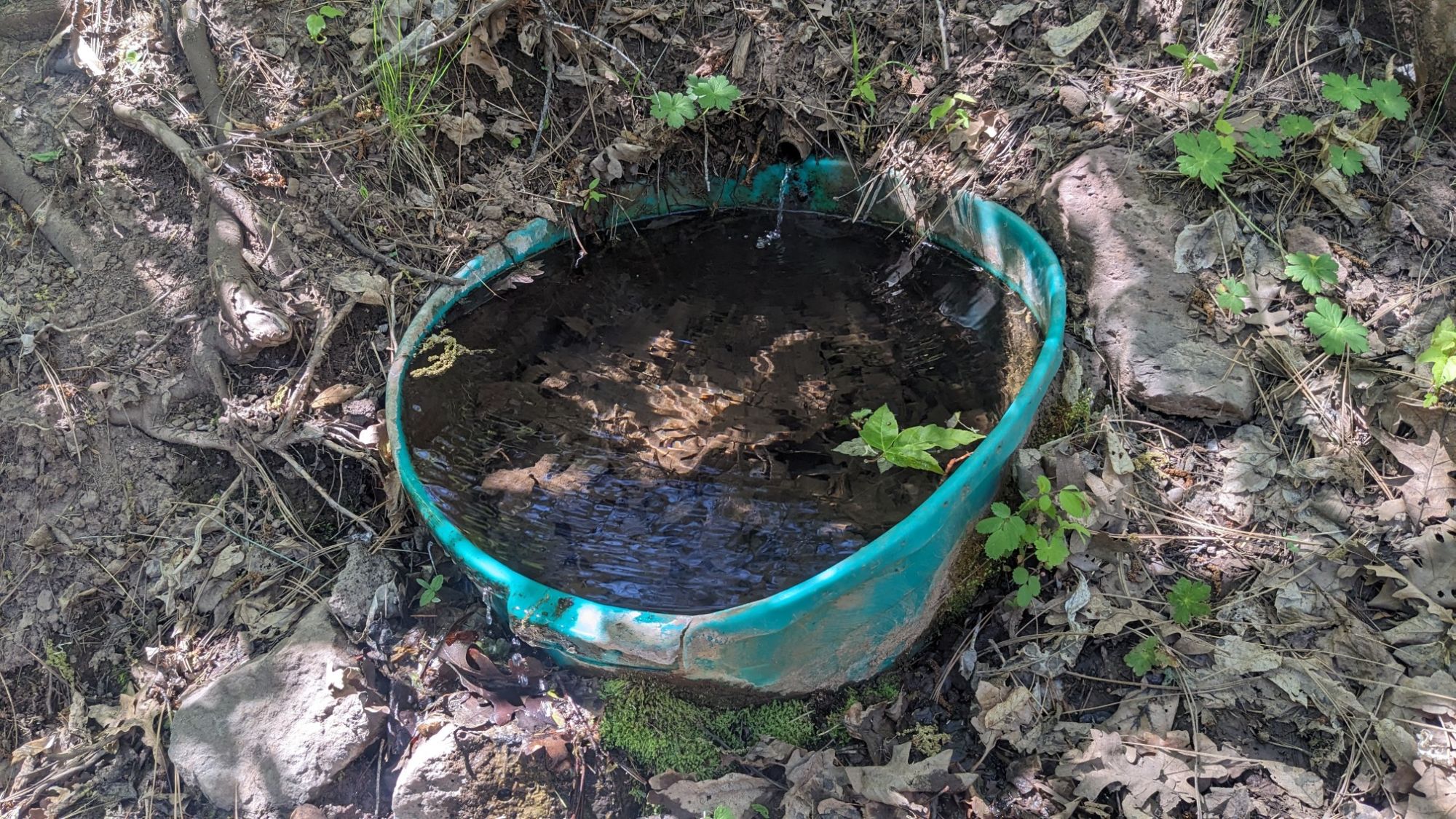
I came to a junction where the Lanphier Canyon Trail ended, and I had to turn onto the Cow Flat trail.
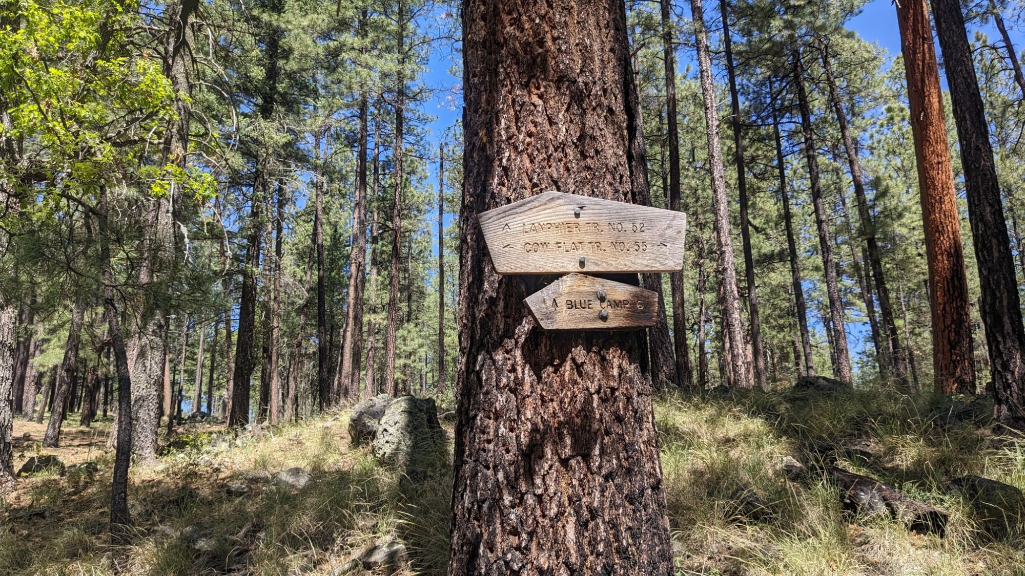
The MRT turns left at that junction, and circumnavigates a big ridge system, using trails that don’t really exist on the ground. In hindsight, I should have turned right at that junction, and avoided all of the terrible and non-existent trails and also saved myself 8 miles of frustration. Anybody reading this who is thinking of doing the MRT in the future, this would be the one piece of advice to follow. I hiked on the Cow Flat trail for half an hour and it was quite nice.
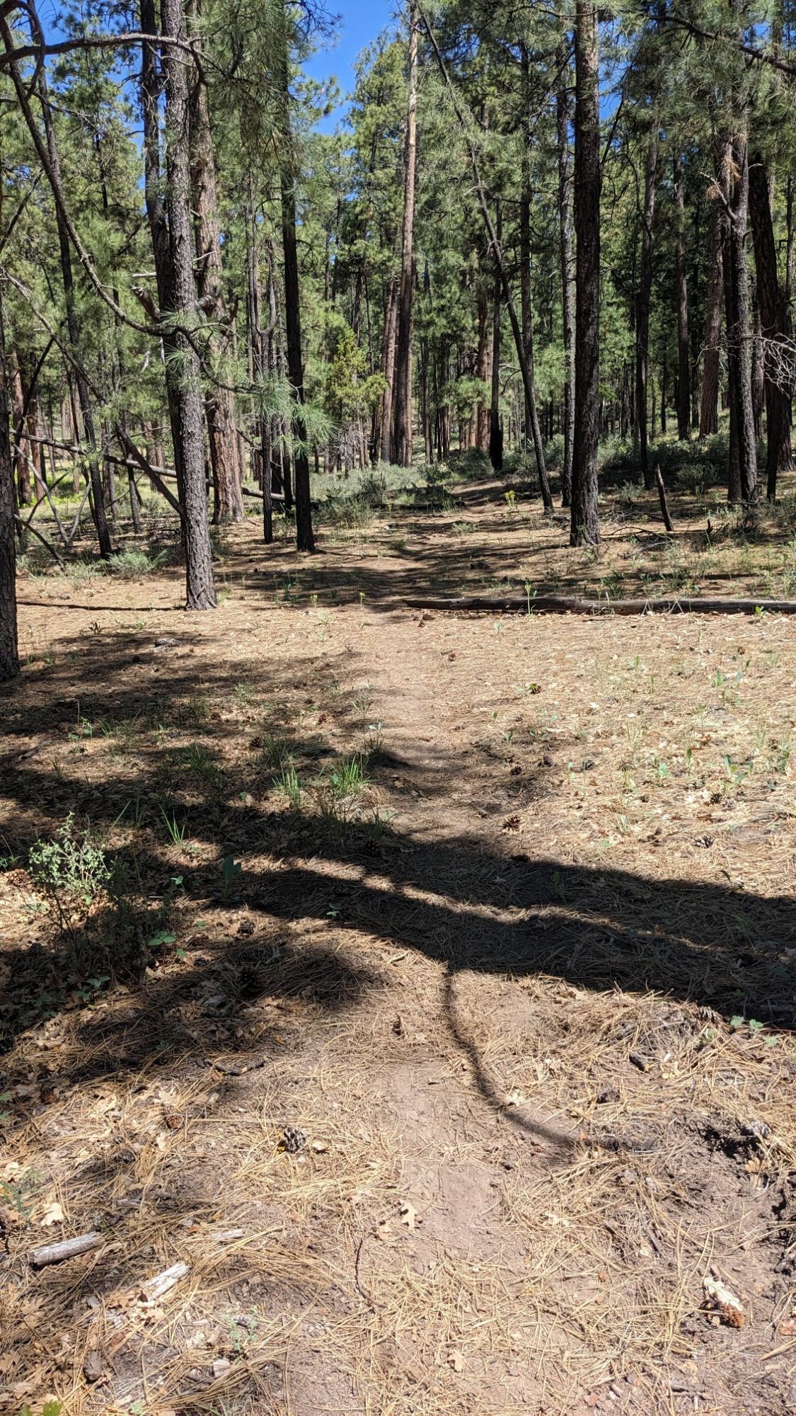
Then I had to turn onto the Bonanza Bill trail, and it pretty quickly disappeared. Usually it’s worth the extra effort to try and stay on the GPS track, as the trail tread is the path of least resistance through the forest. But when there is no trail tread, it’s just easier to walk cross-country. I made it to Tige Spring and stopped there for lunch.
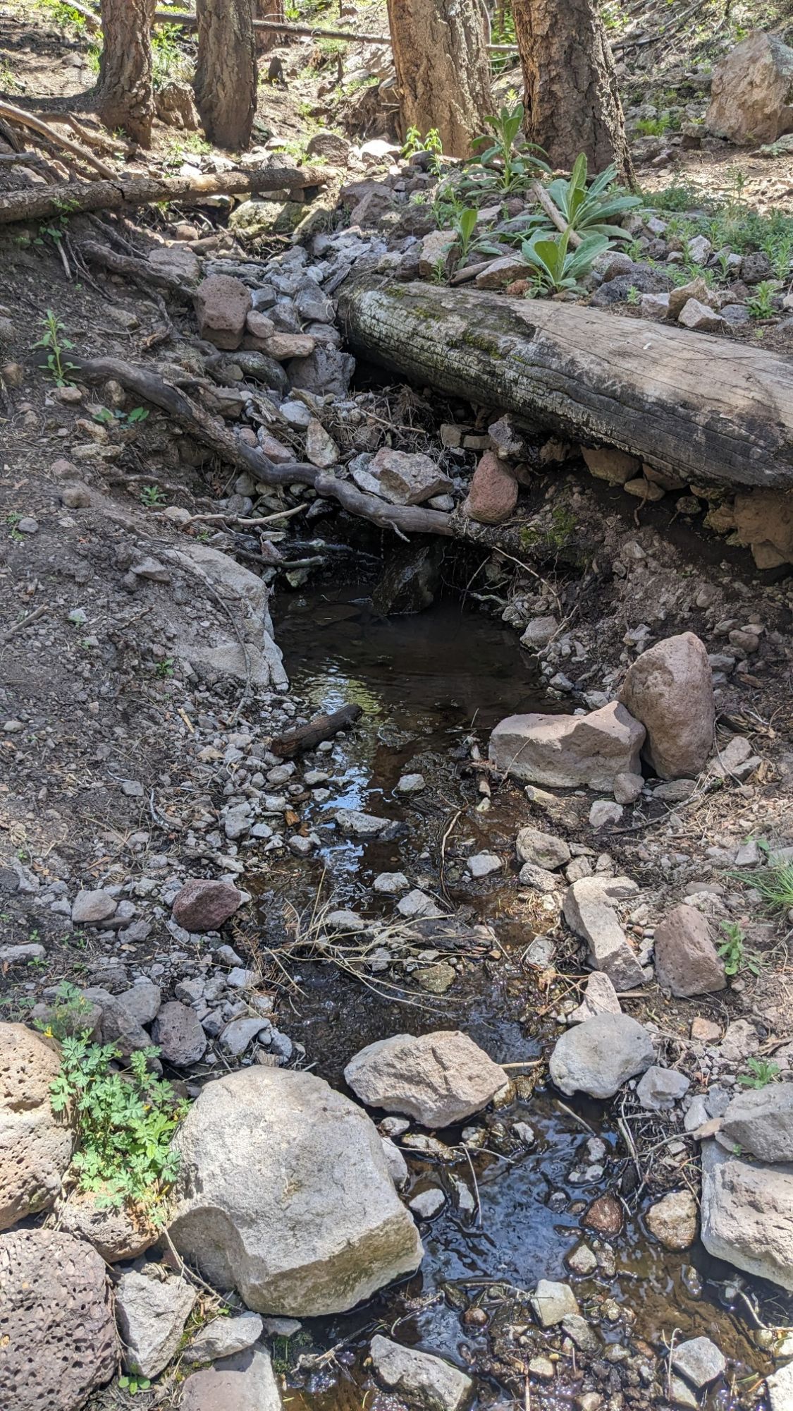
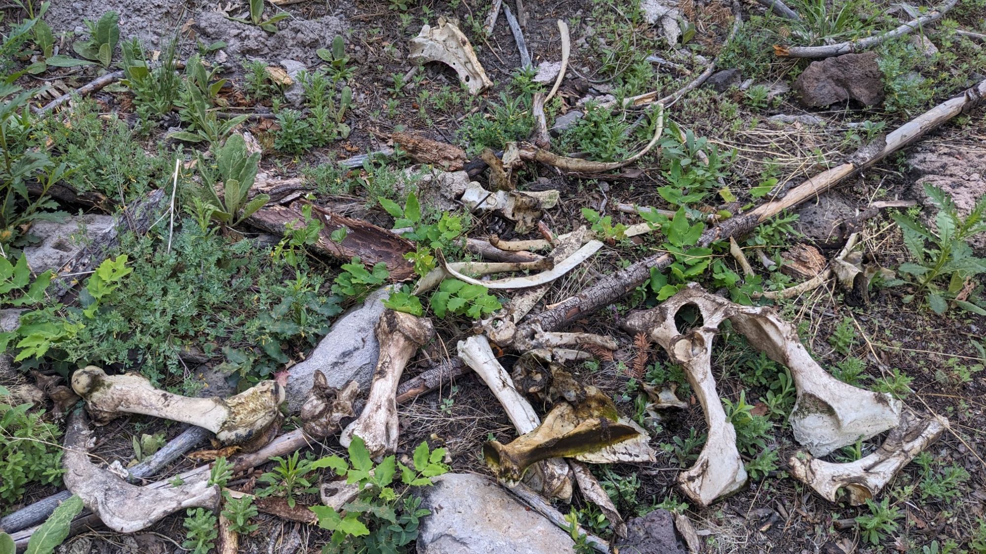
I refilled my water bottles and also cleaned up all the cow bones out of the stream. I think I had collected enough bones to build my own cow!
Next, I hiked through a burn area which was full of ferns and the occasional thorny plant.
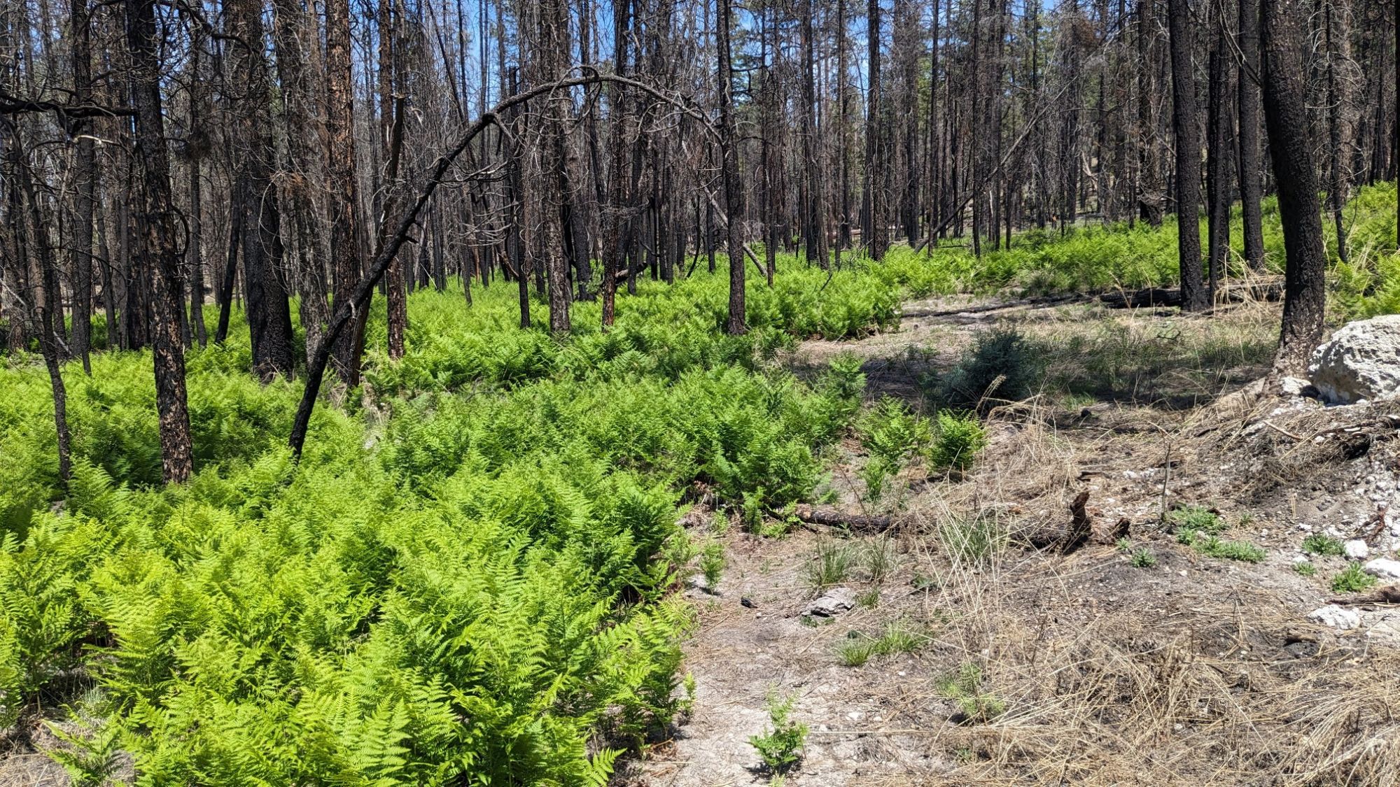
In theory, there was a trail junction where I would have turned left to see the Devils Monument. In reality, because the trails didn’t really exist, the junction didn’t either, and I ended up hiking directly to the Devils monument. It was neat to see, but it added a mile to my already slow arduous day.
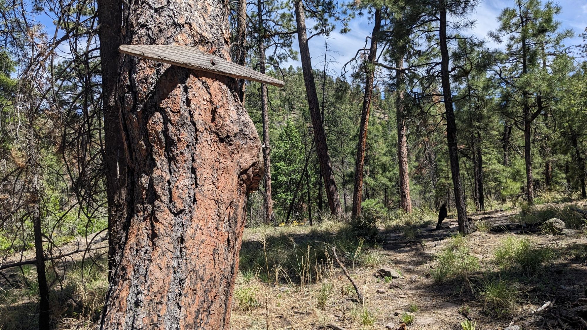
After seeing the monument, I backtracked to the theoretical junction, and I found this splinter nailed to a tree. Ha!
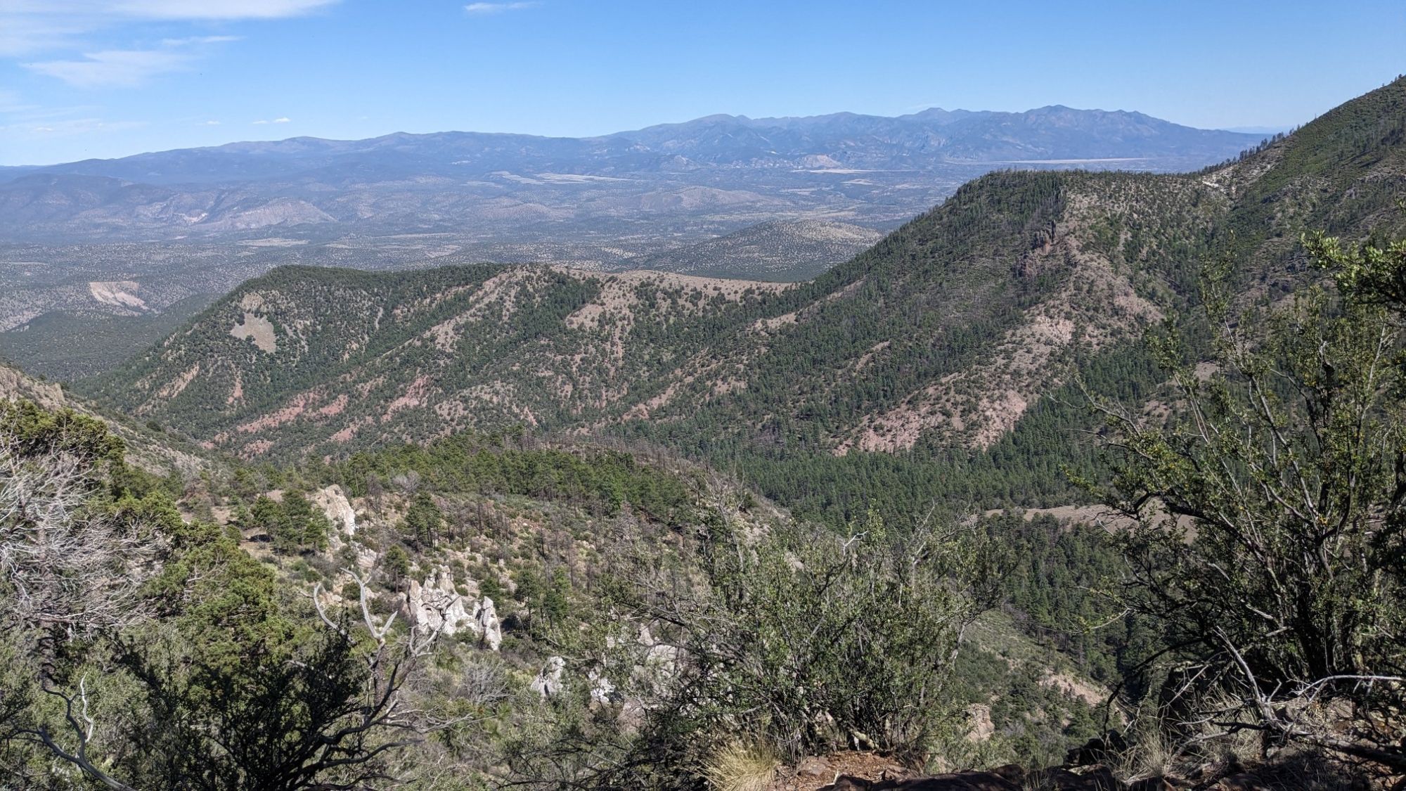
I spent the next hour hiking a very slow mile uphill, trying to follow switchbacks that didn’t exist. There was a view at the top, so that was nice.
I hiked along a ridgeline for a couple miles, following a fence, which allowed me to completely ignore any theoretical trail that was nearby.
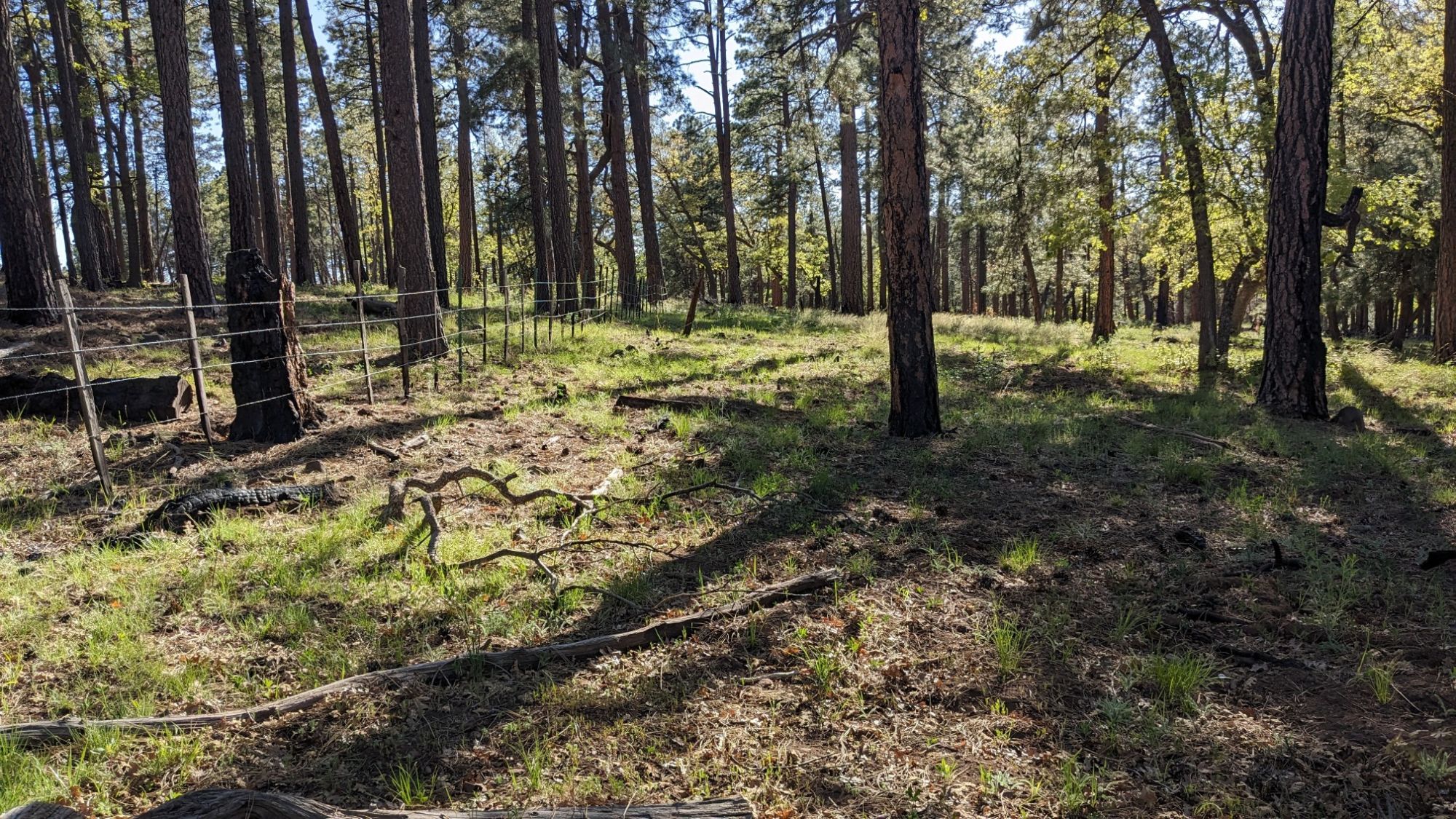
I dropped off the ridgeline, and came to another trail junction, where I rejoined the Cow Flat trail.
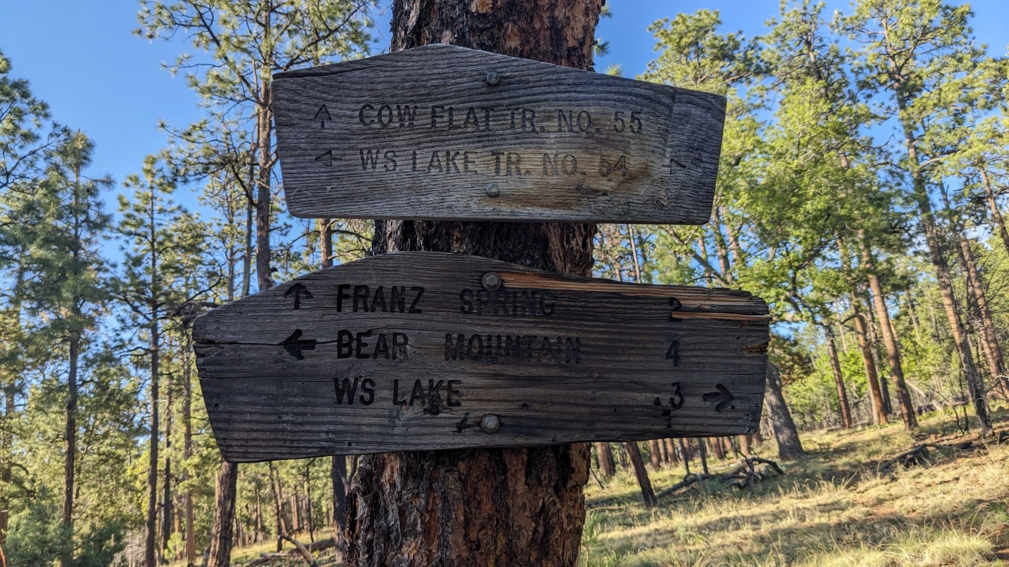
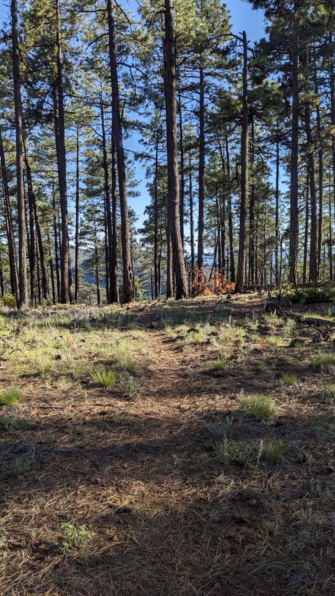
Yup, should have just stayed on that trail! Once I was back on the Cow Flat trail, it was easy to follow and I was able to turn off my brain and just stroll through the nice Ponderosa forest.
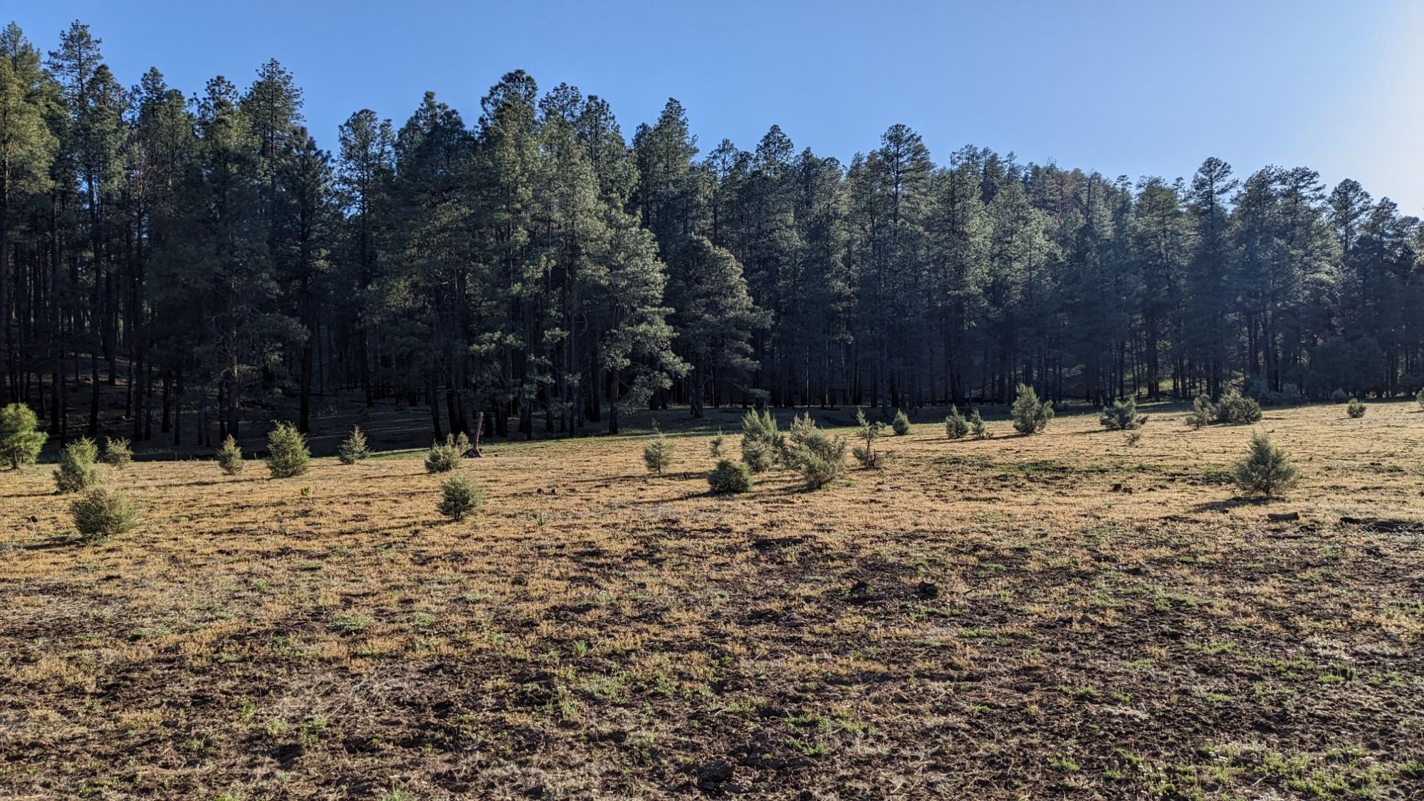
And of course the occasional meadow too.
Near the end of the day, I hiked down a little canyon called Bear Valley.
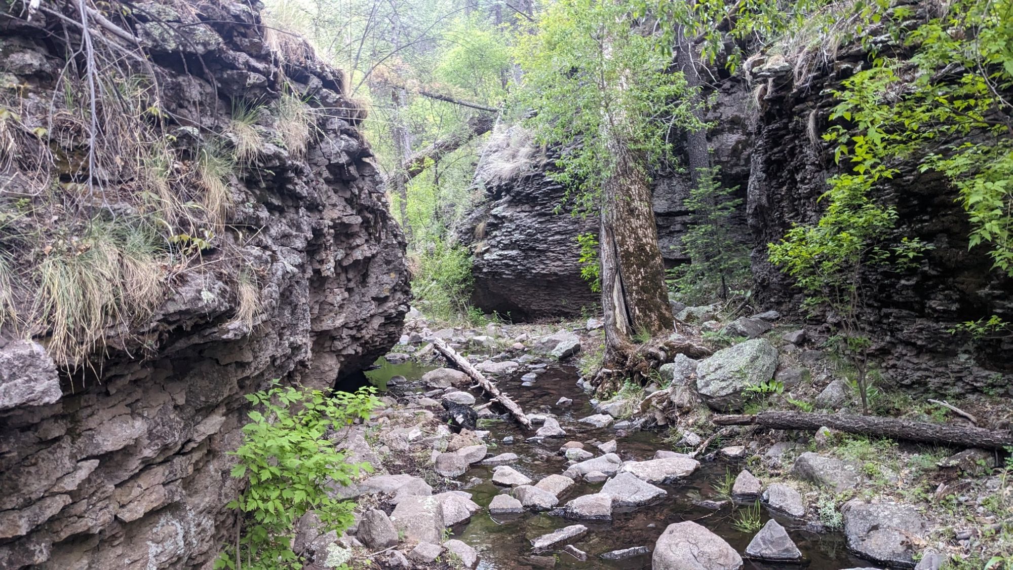
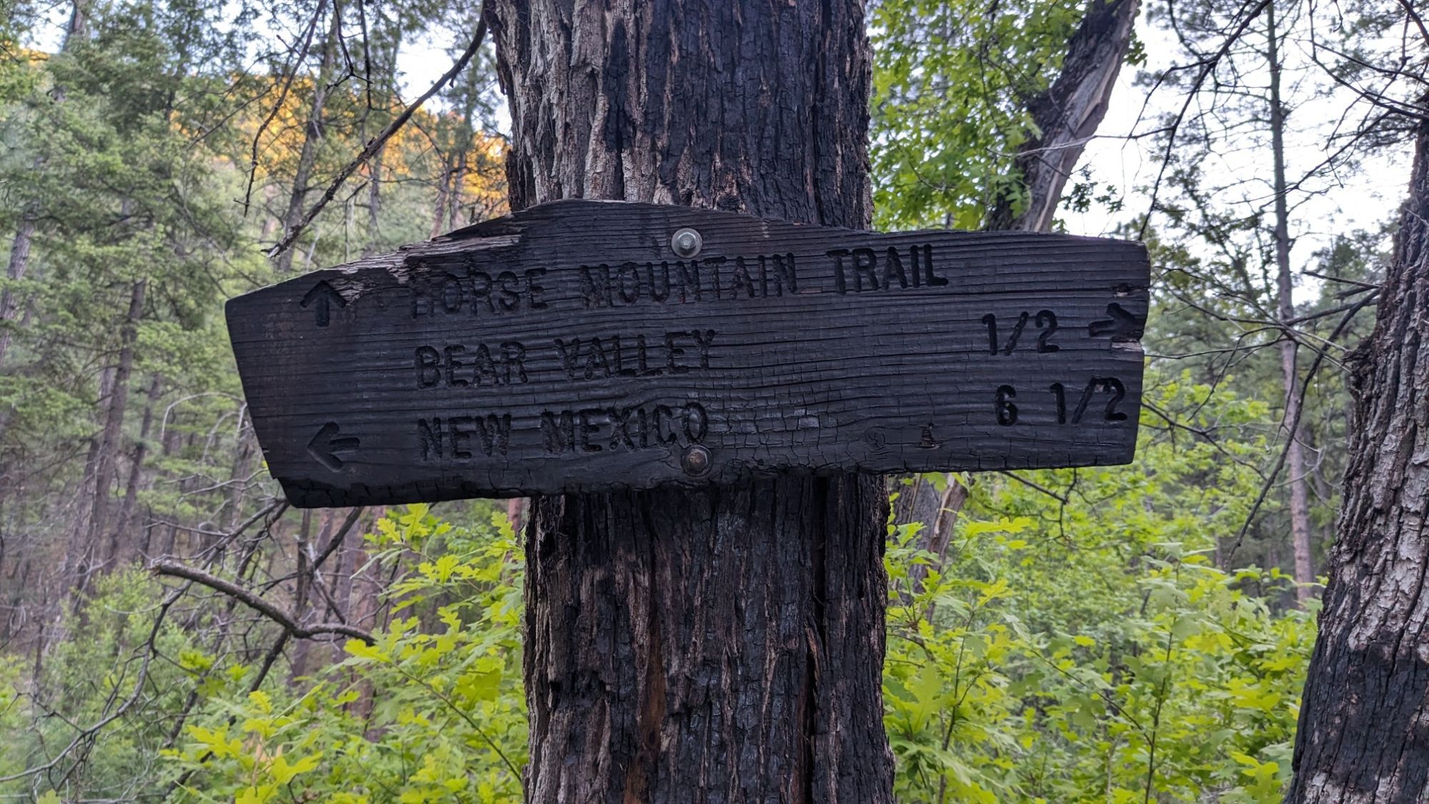
It had more of those cool conglomerate rock cliff walls. After a mile I left that neat little canyon, and I saw this sign at the junction which reminded me that New Mexico was only 6.5 miles in the opposite direction.
I turned up a side drainage, which led to a little plateau where I was able to camp. It was after 7pm which is really late for me to stop hiking.