Monday June 17, 16.4mi/26.4km
Gorham/Hwy 2 NH (1893.8) to NH/Maine border ME (1910.2)
I slept in until 7:30am, and then went downstairs to make pancakes. But, I already had made a cake yesterday, so I ate that instead. And I had to finish my ice cream too. I watched a few episodes of “Last week tonight”, and finally left the hostel at 10am.
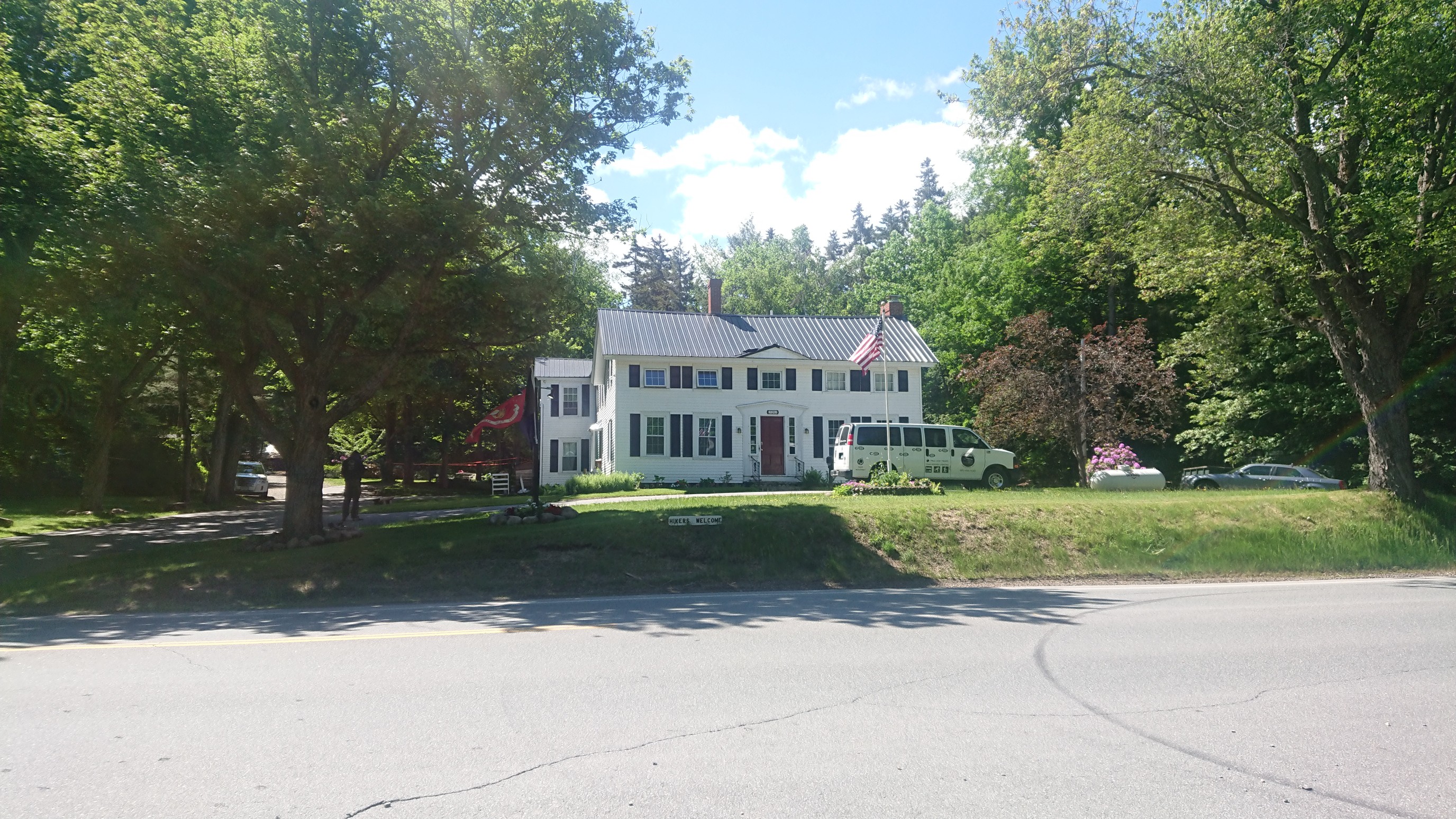
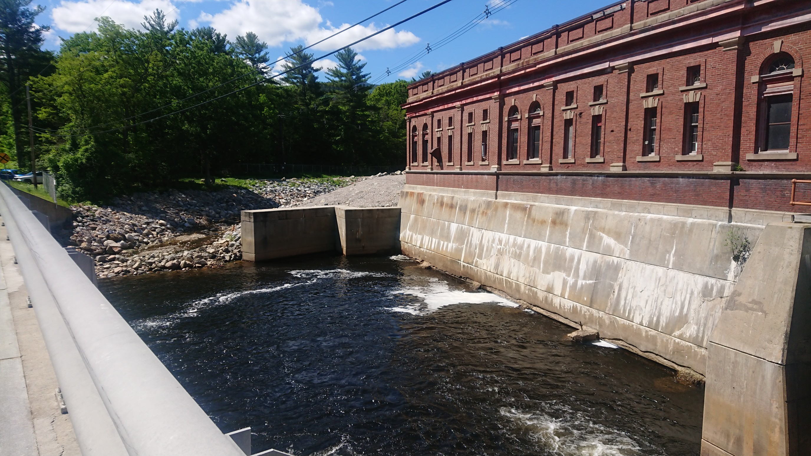
There was a short roadwalk, and I crossed the Androscoggin River.
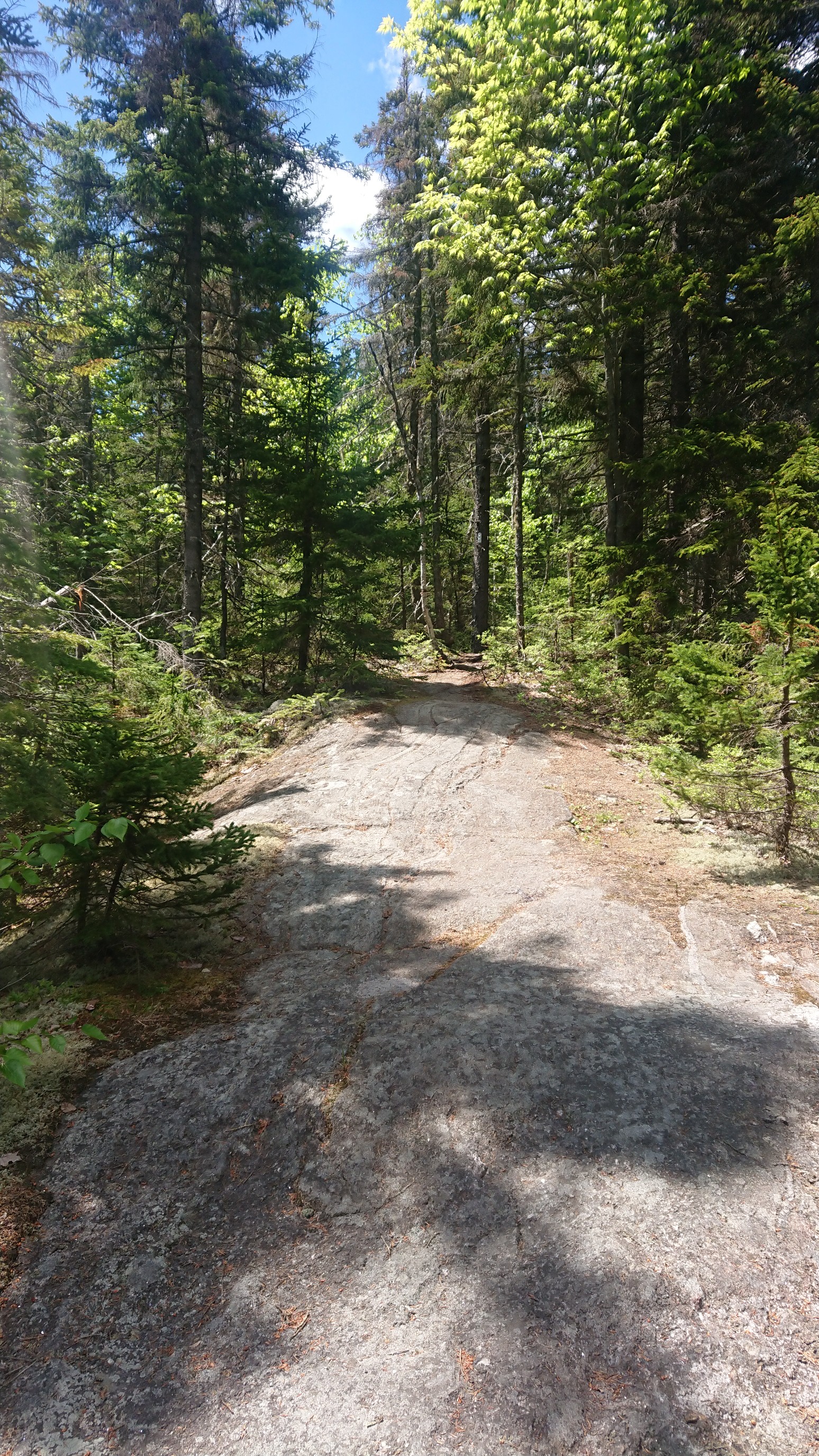
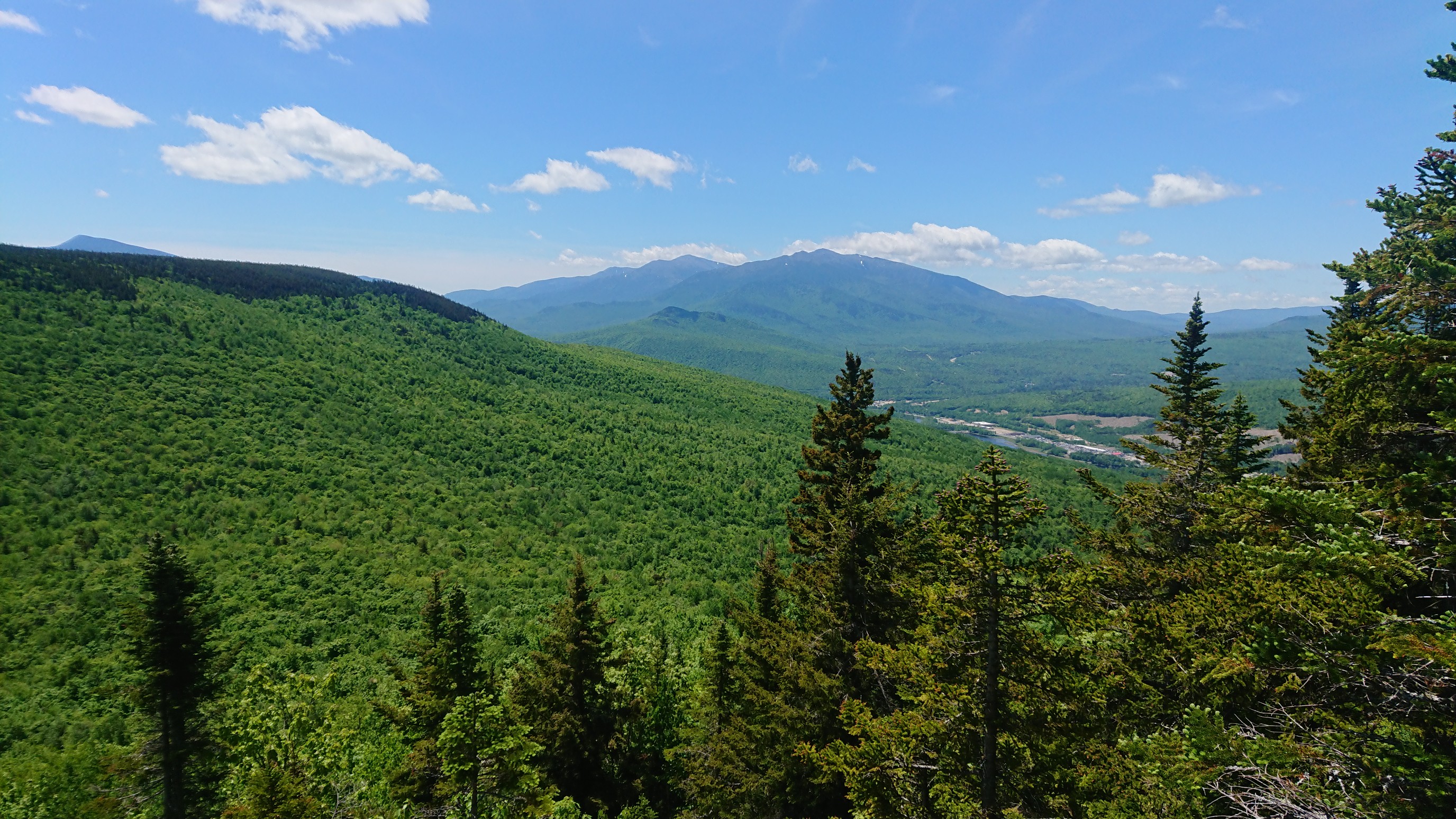
Surprisingly, much of the trail today was long slab by sections of rock. And even the low summits had views!
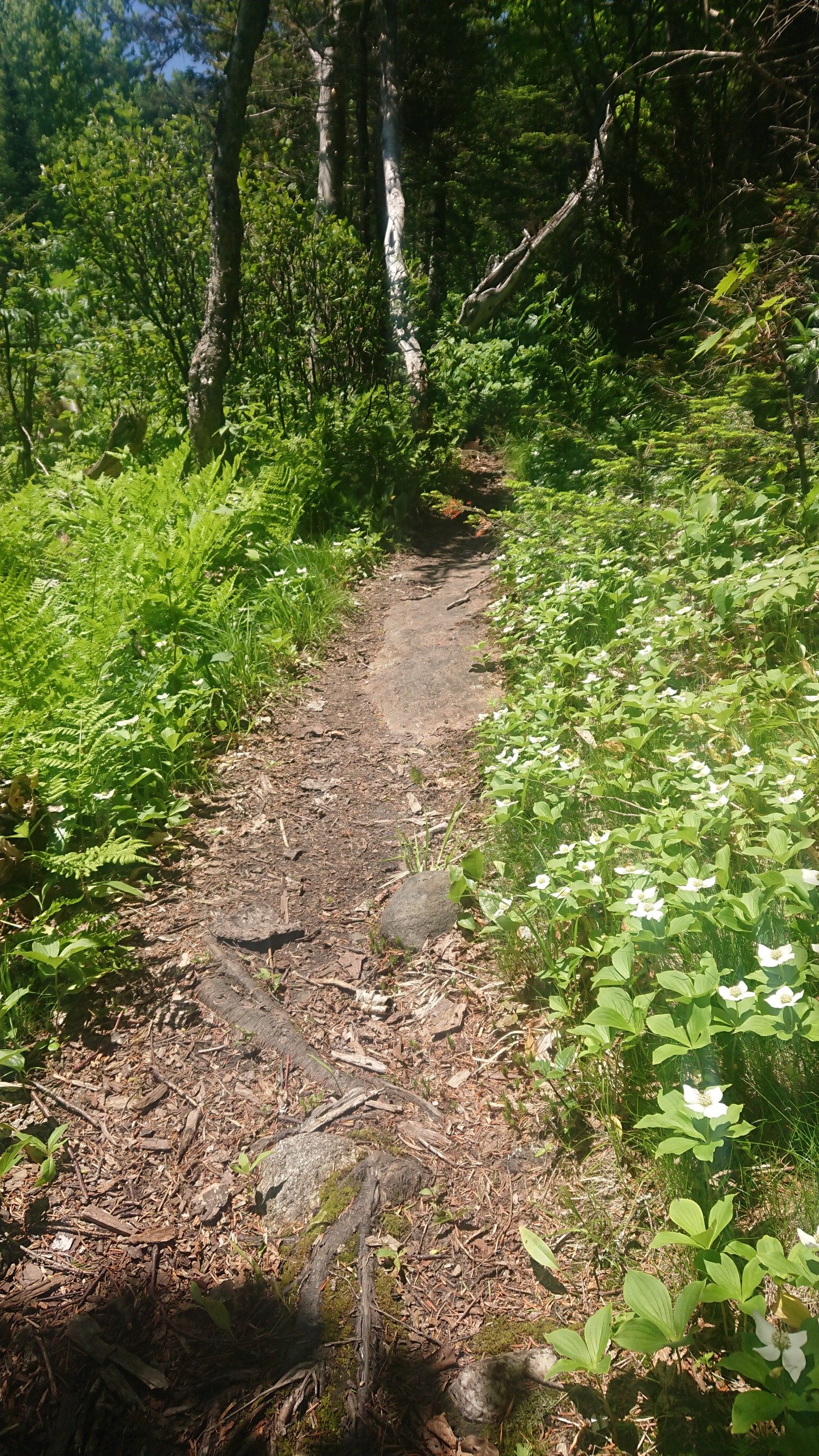
For a couple of hours today, the trail was surrounded by these small white flowers. I don’t know their name, but they made the forest smell clean.
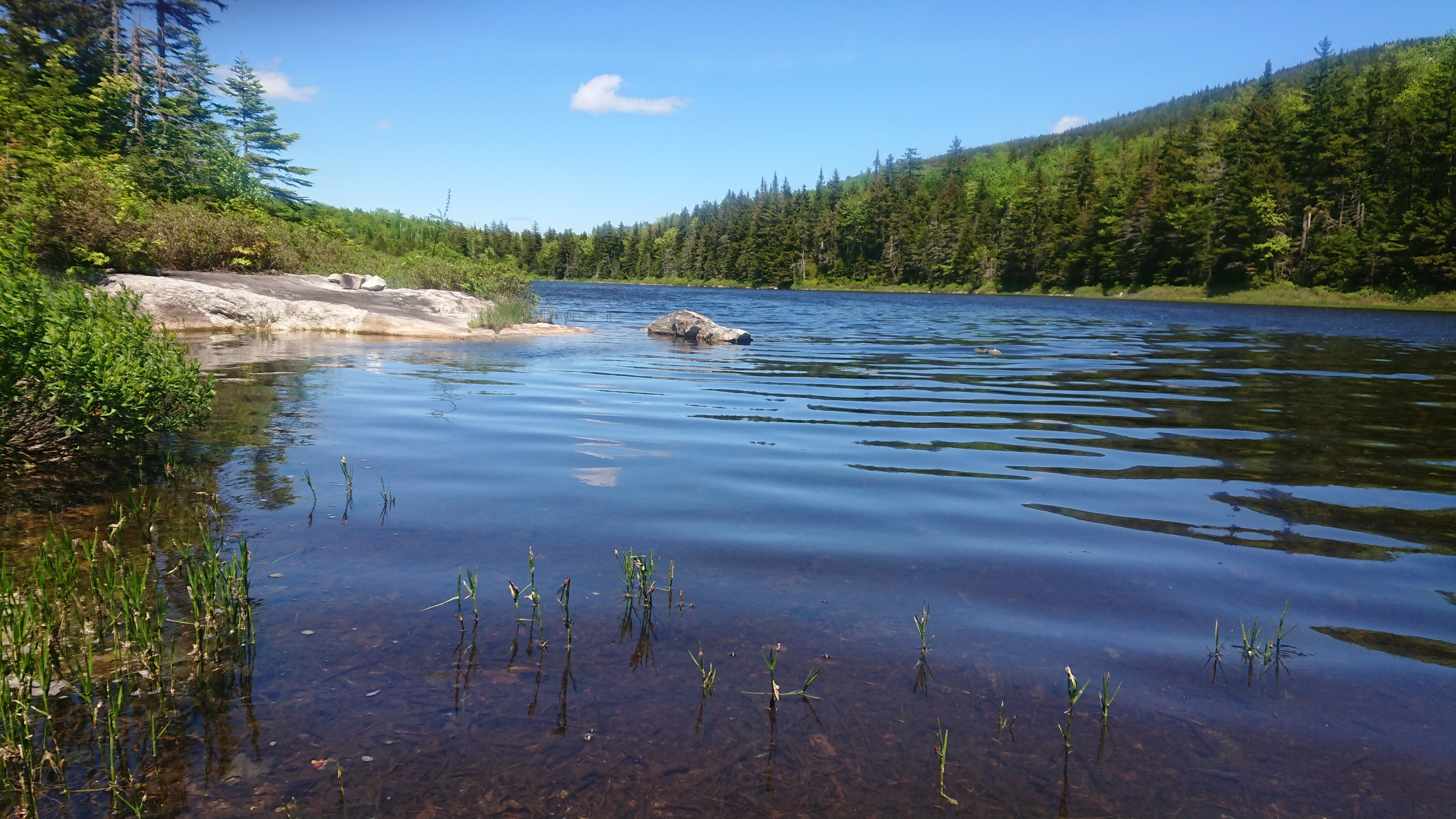
Along the way, there were many small alpine lakes. I think this one was called Gentian Pond. I tested the water, it was WAY too cold to swim!
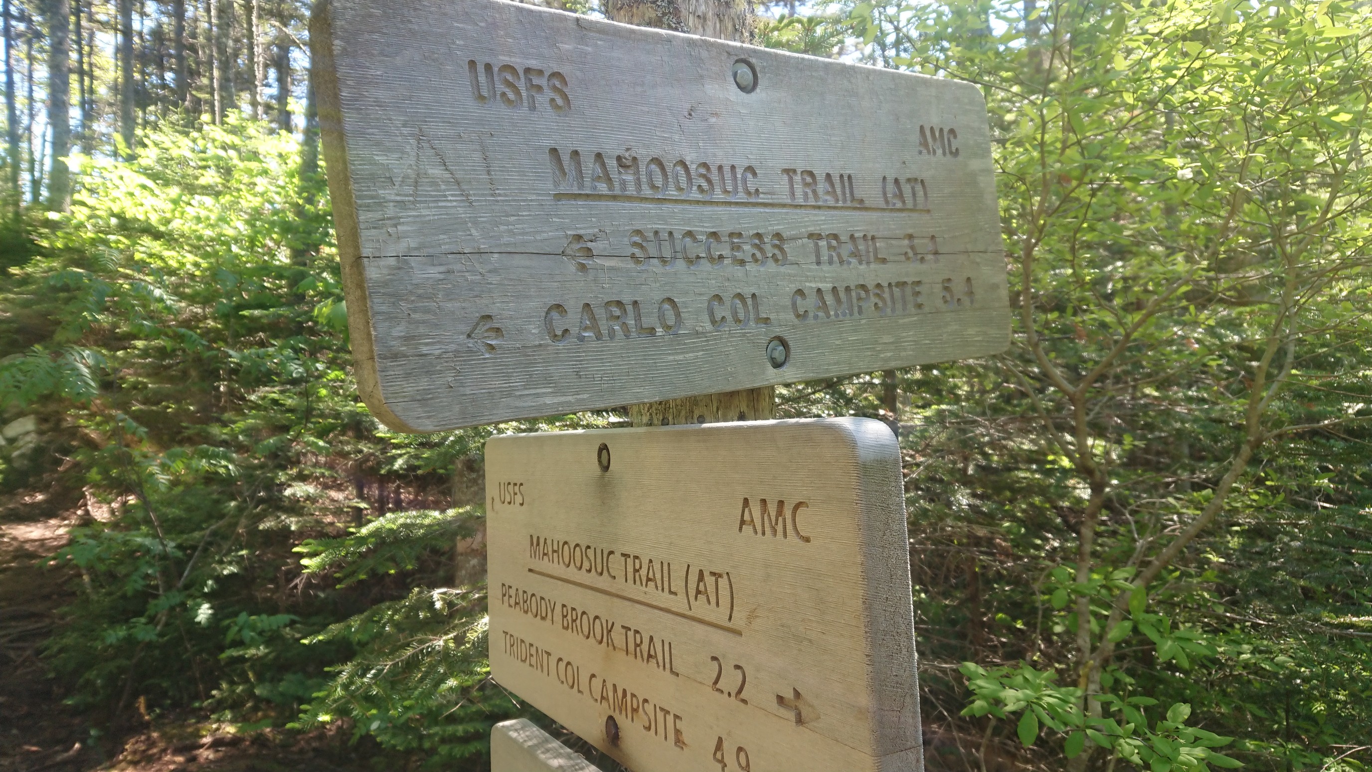
This was just a funny sign. I’m still looking for the corresponding other half, “Failure trail”
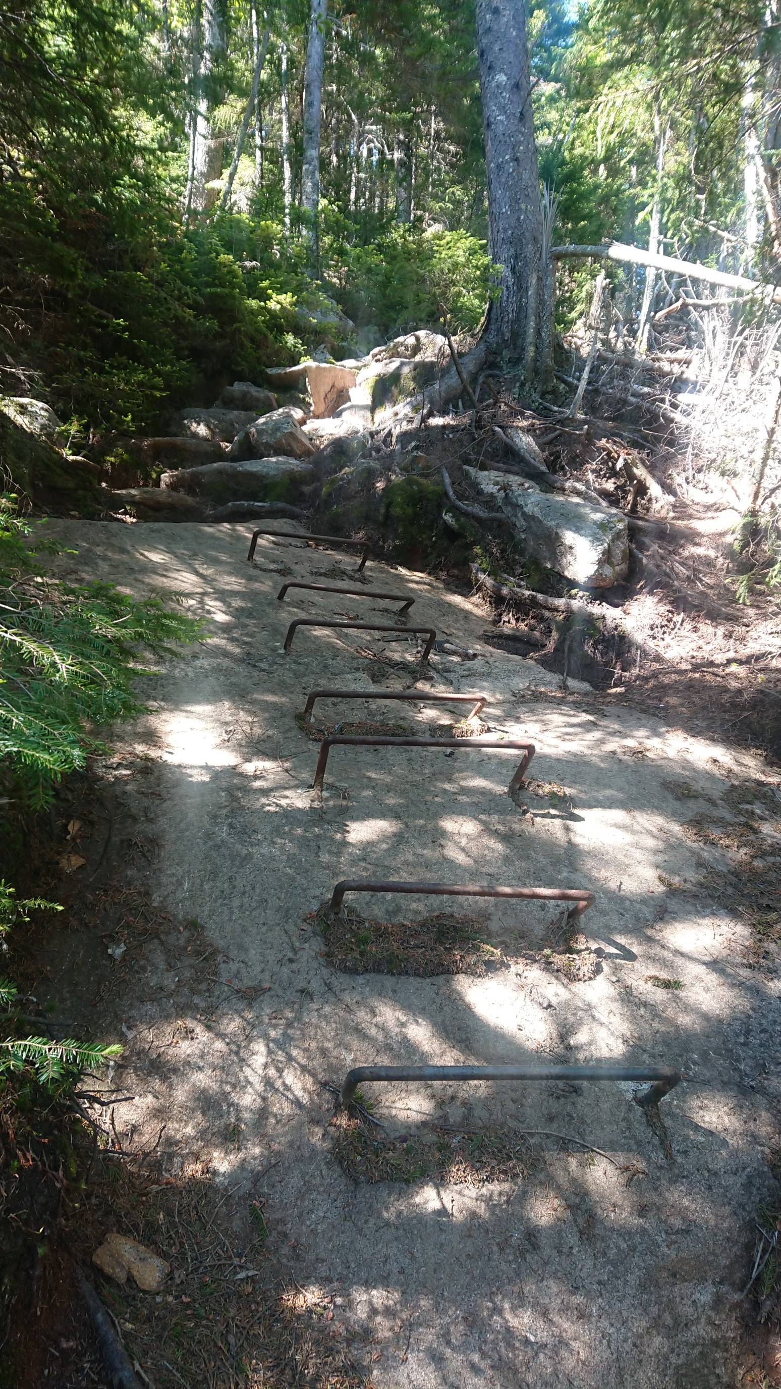
And then, things got slow and steep. Steep enough to require a ladder. My pace dropped to 1.5mph, as I climbed 1200ft in a mile to the summit of Mt. Success.
Another great summit view, looking east.
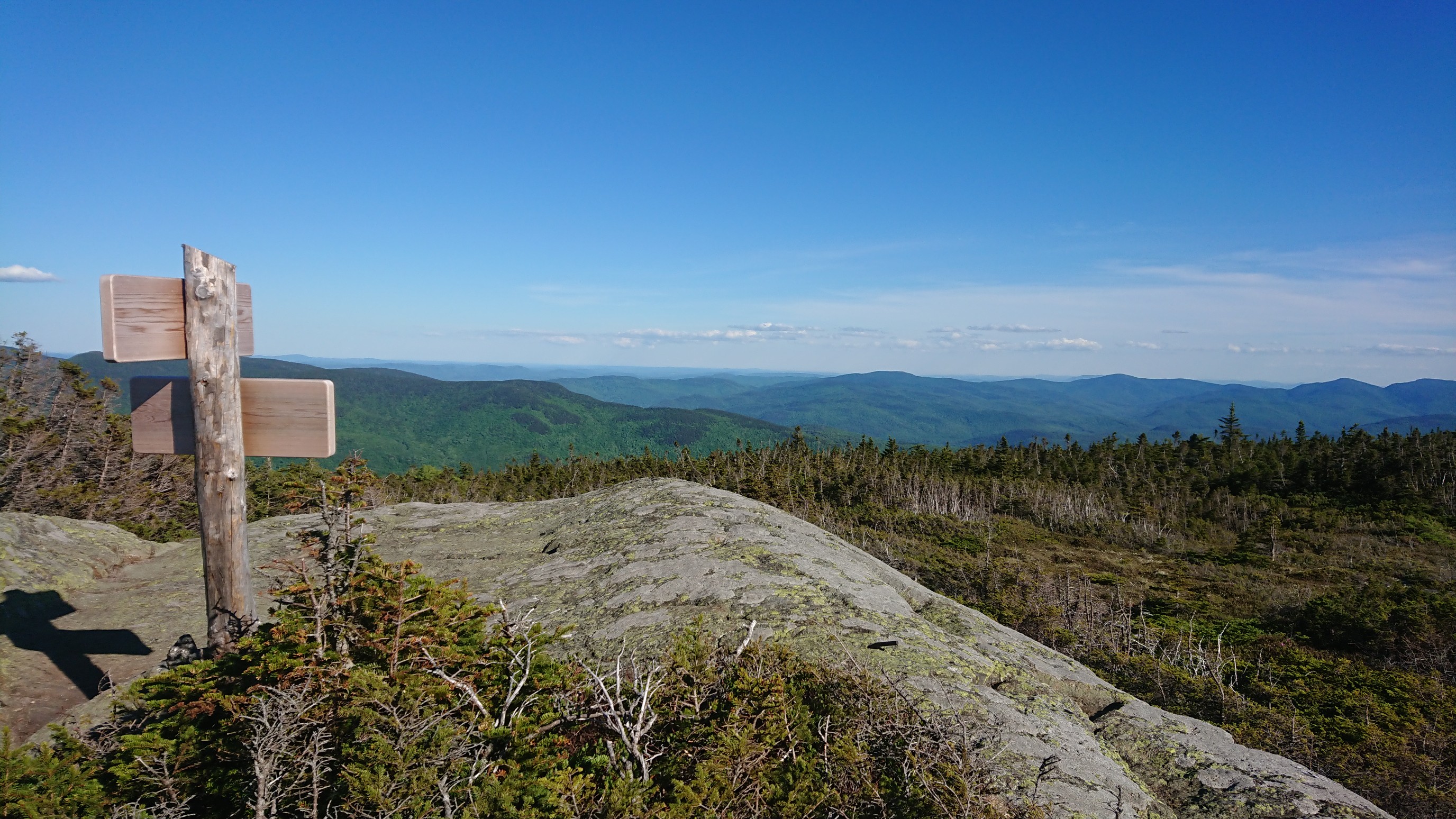
Panorama photos never look as good as I hope they do…

After a couple more miles of hiking, I arrived at the Maine border! It’s the last state, and there are only 282 miles to Mt Katahdin and the finish!
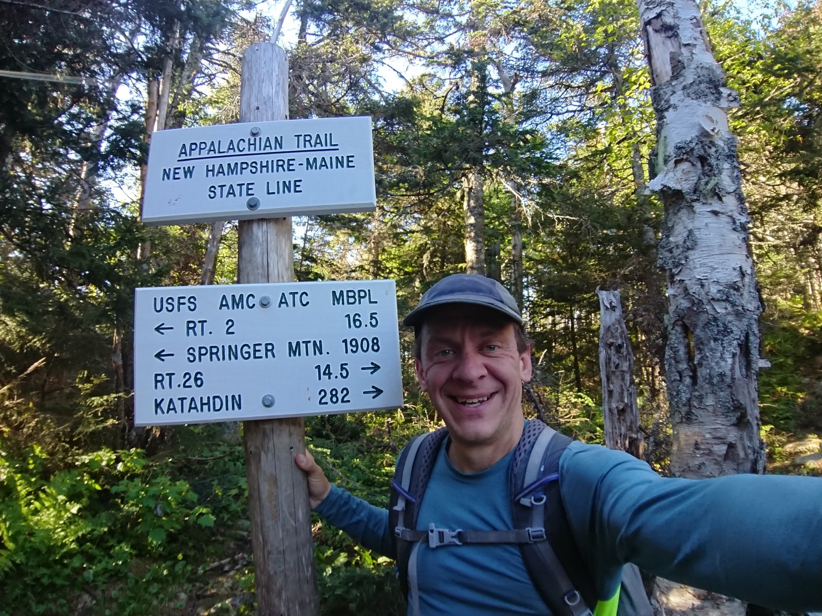
It was also 6pm, so I decided to setup my tent nearby. I am camped about 20ft/6m into the state of Maine. I love their motto – “the way life should be”.
I am camped alone tonight, Bob had to wait for some new shoes to be delivered, and he will catch me tomorrow. The next few days will be rough terrain and lower mileage days. So, that combined with another zero day, and I expect to get to Baxter state park (where Mt. Katahdin is located) on July 4th!