Thursday July 23, 12.7mi/20.4km
Mammoth Pass (114.8/9360ft) to Nancy Pass (126.9/10,240ft) (CA) + 0.6mi side trail
The morning went by quickly doing some last errands in town. I got the 11am bus up to the trail (10:30 bus was full), and I was on trail at 11:30.
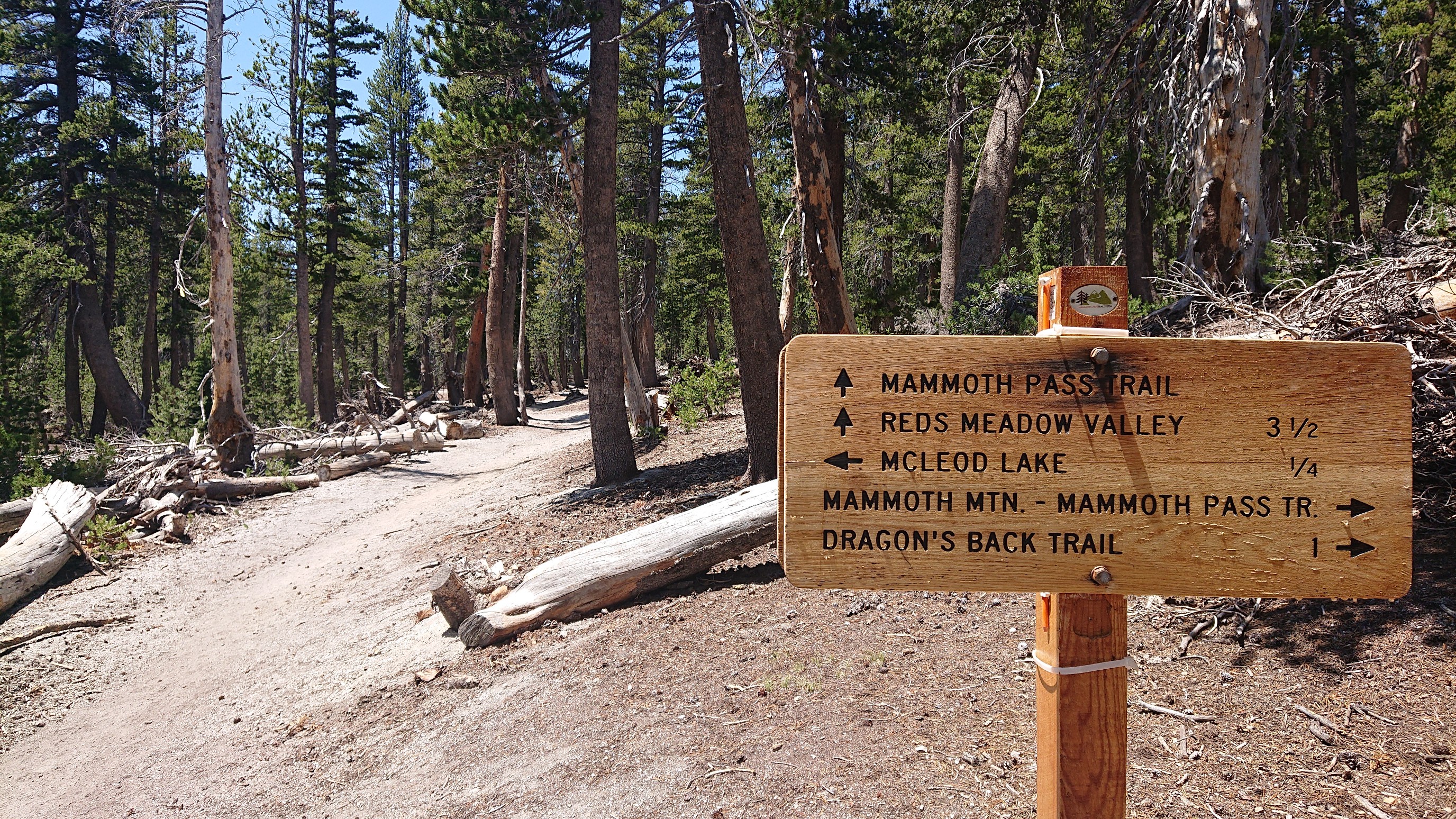
It was a nice wide trail all the way to Reds Meadow.
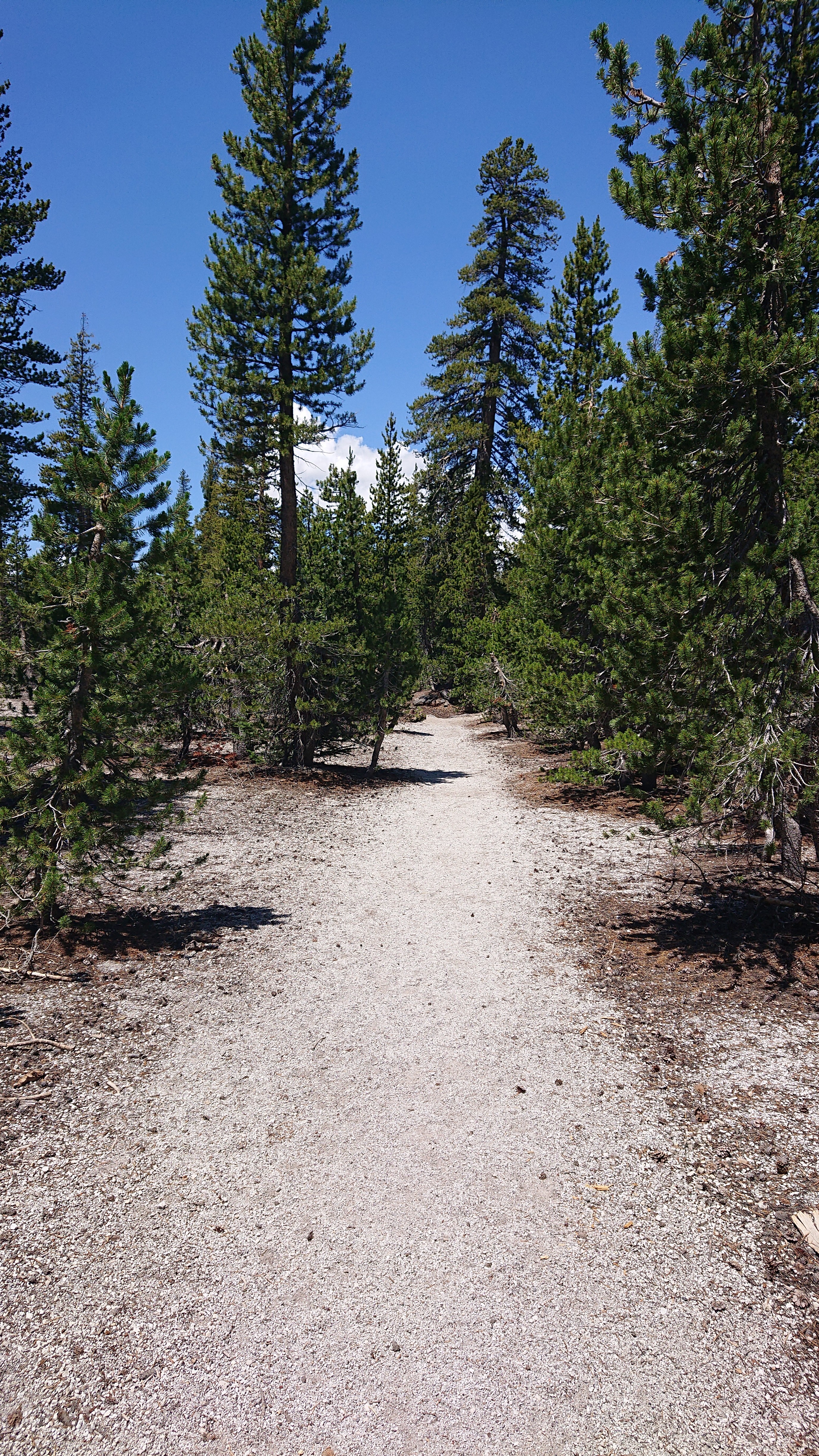
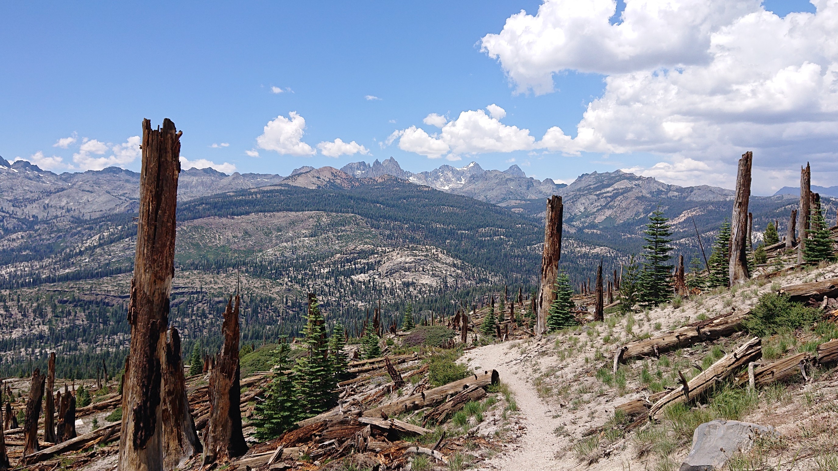
As I got closer to Reds Meadow, I had a nice view of the upcoming mountains, thanks to the flattened forest.
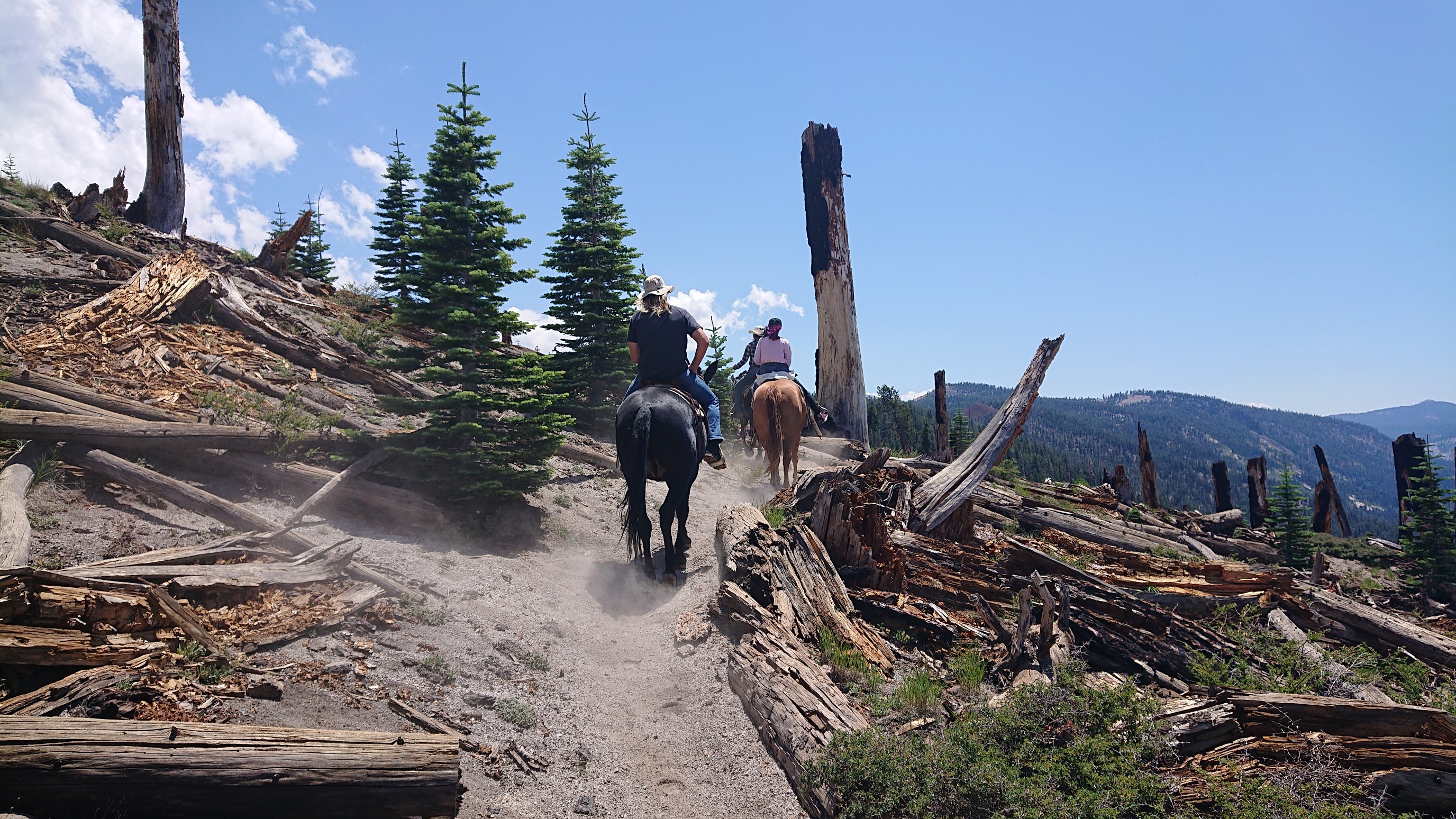
It was a well used trail, some equestrians even rode by!
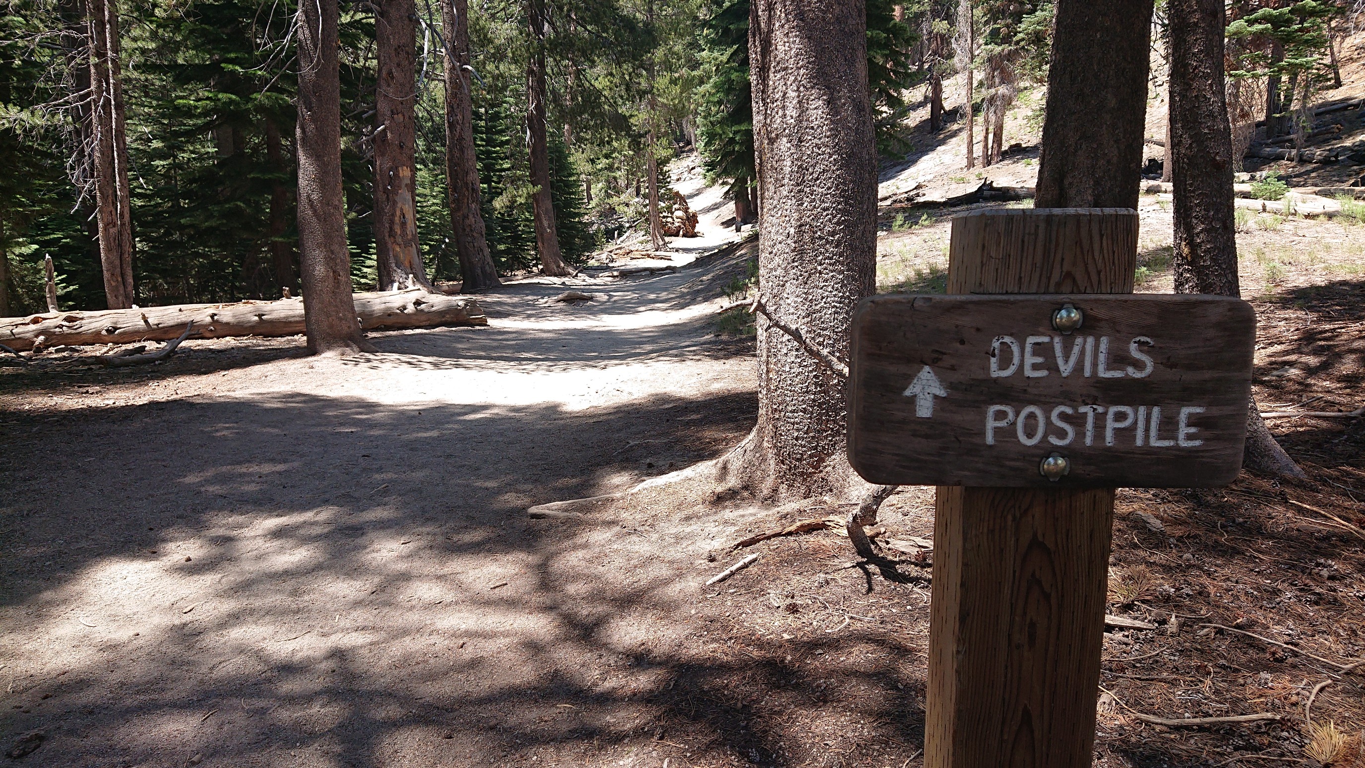
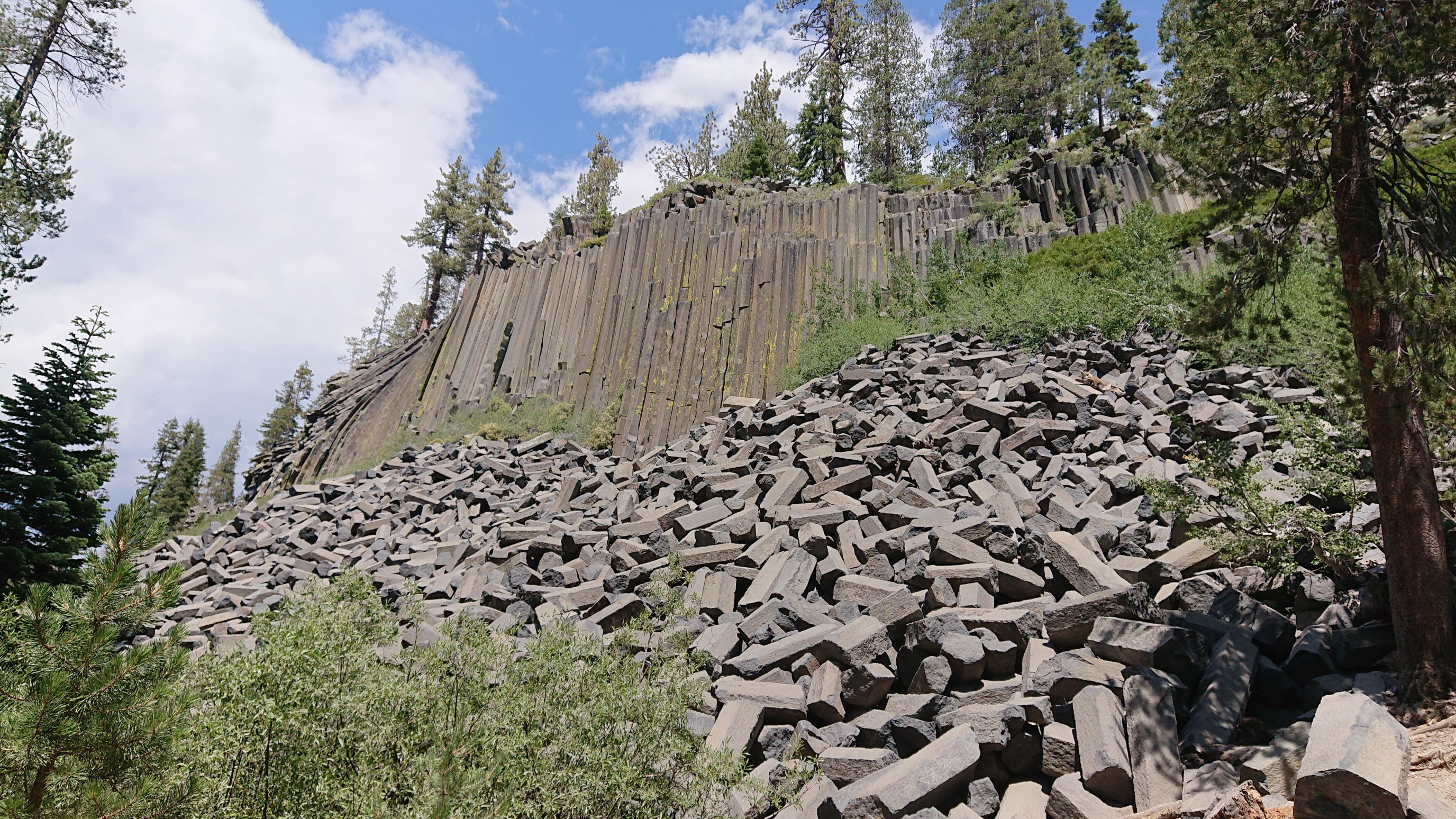
The Devil’s Postpile National Monument is on the trail, it’s a neat volcanic formation near Reds Meadow.
Basalt columns are visible, and some have broken off.
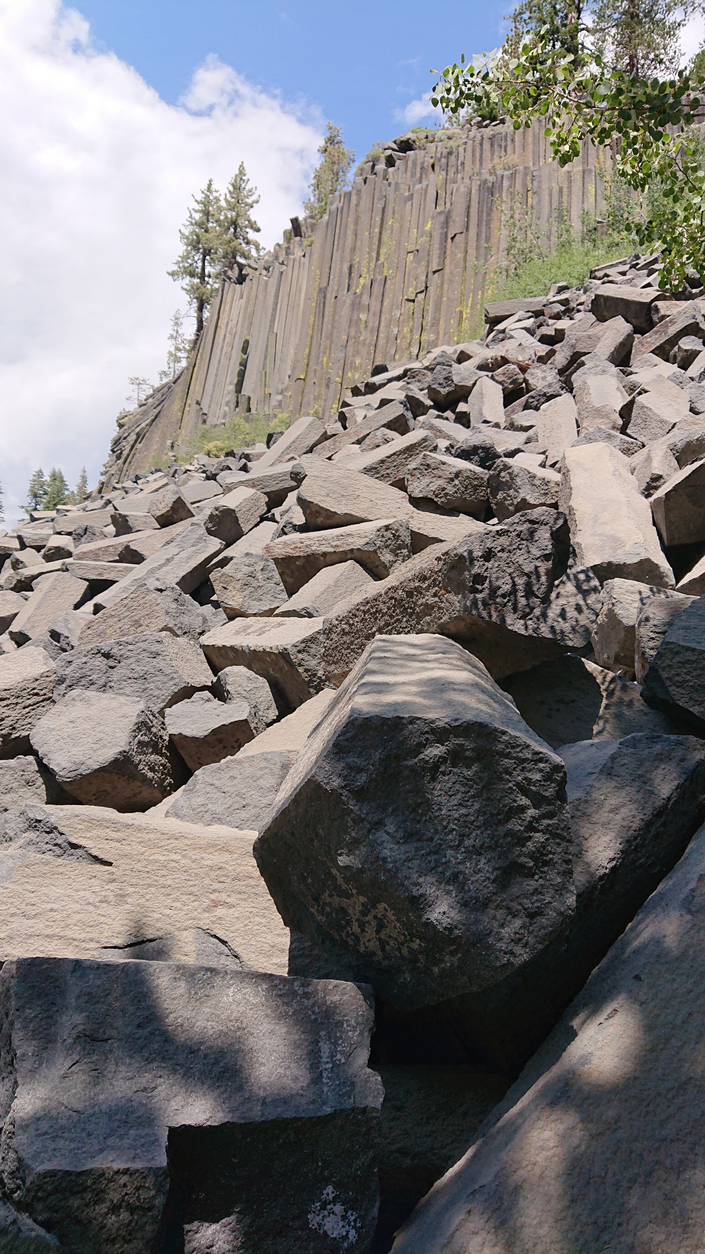
Most of the columns are hexagonal.
Another angle of the Postpile.
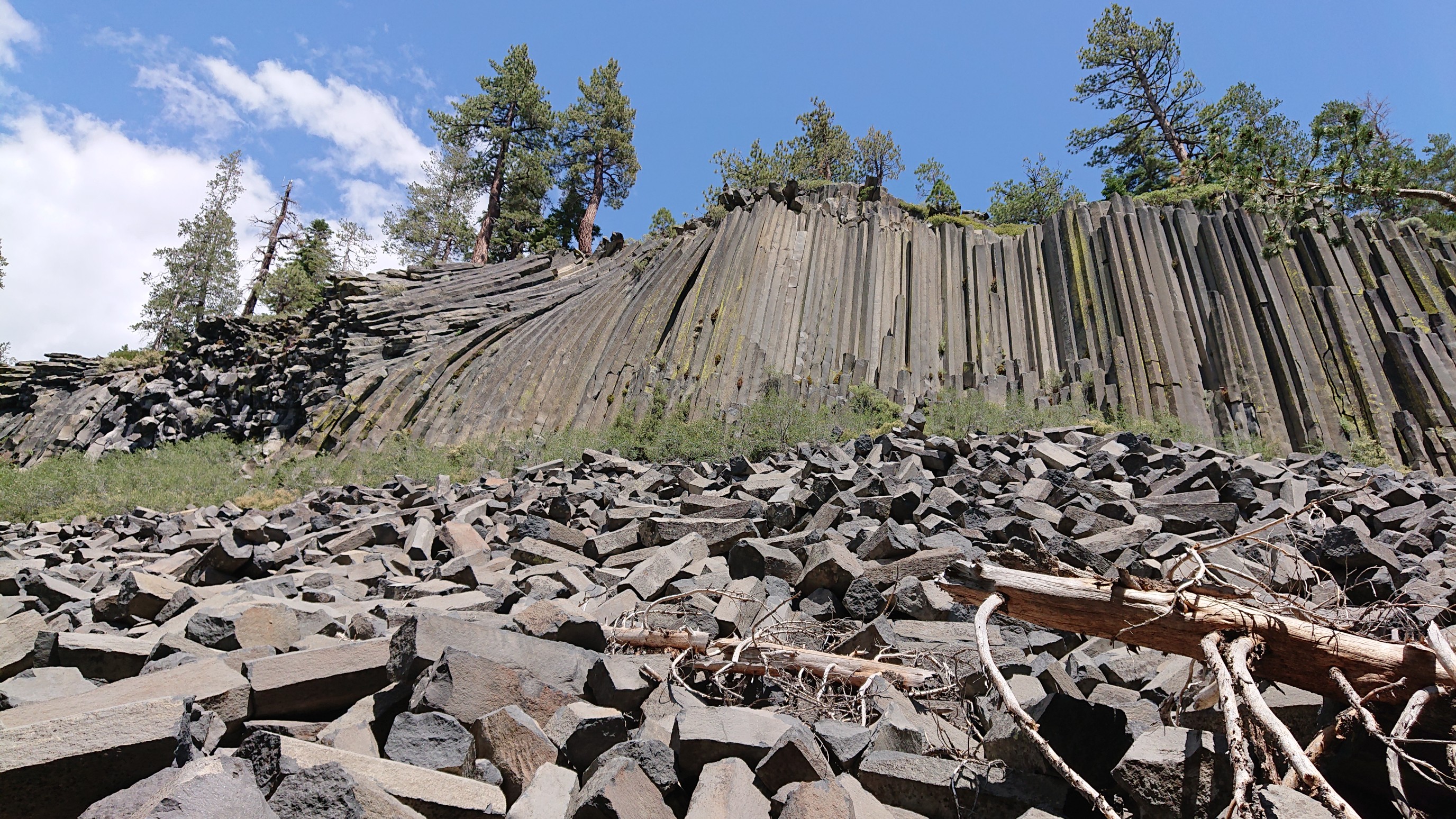
There is a trail going to the top of the Postpile as well, but I already hiked that one when I was here in 2015 on the PCT. So, I continued onward across the Middle Fork San Joaquin River.
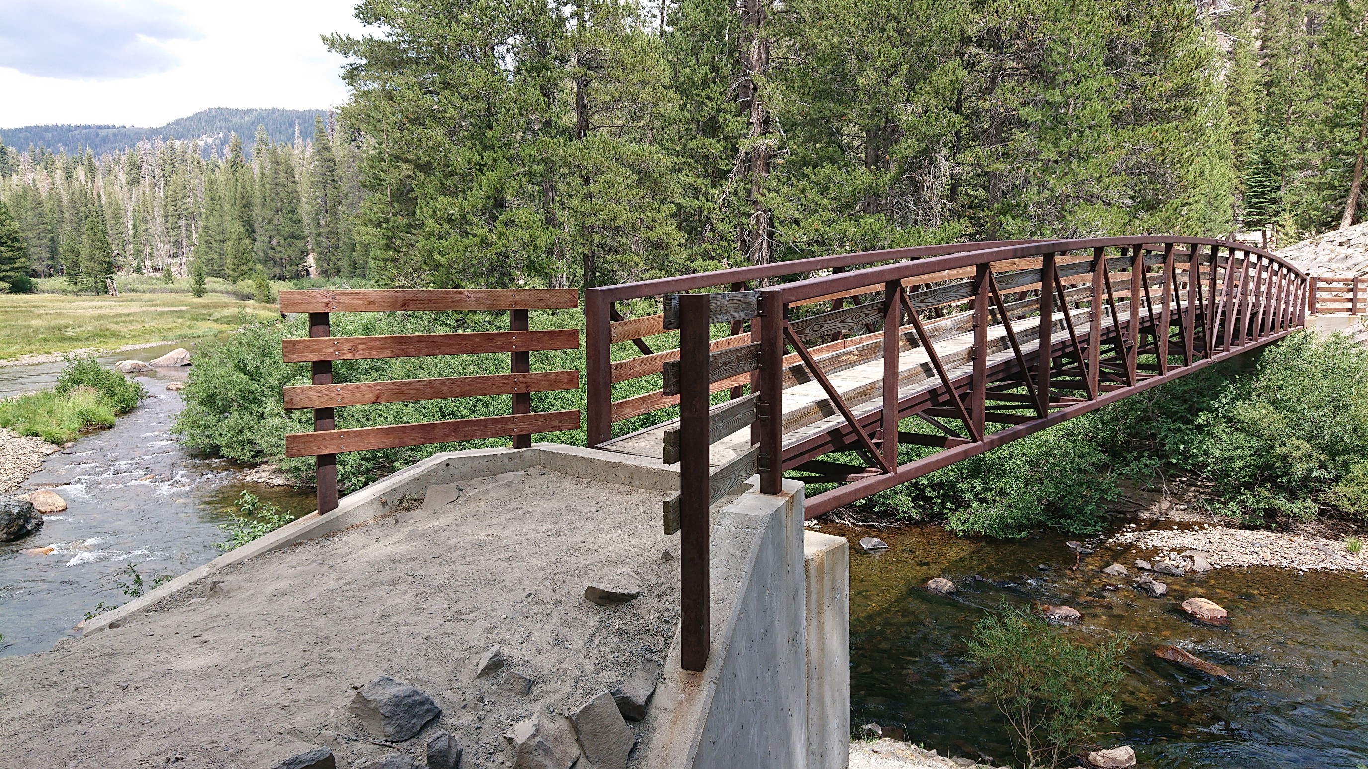
I followed the JMT for another mile before splitting off. This is one of those rare spots that the PCT and JMT are not the same trail.
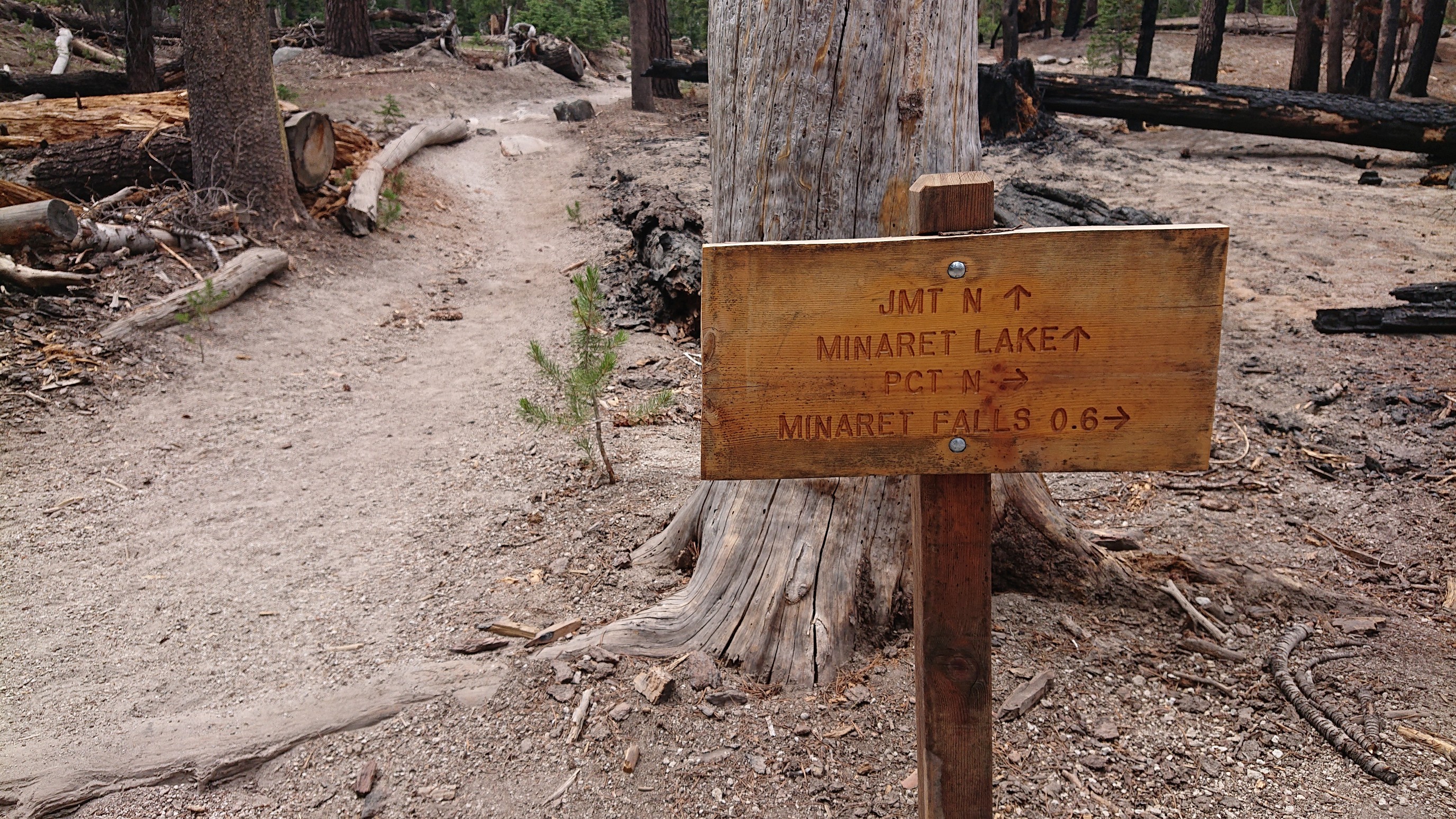
I walked along on a trail all afternoon, slowly climbing.
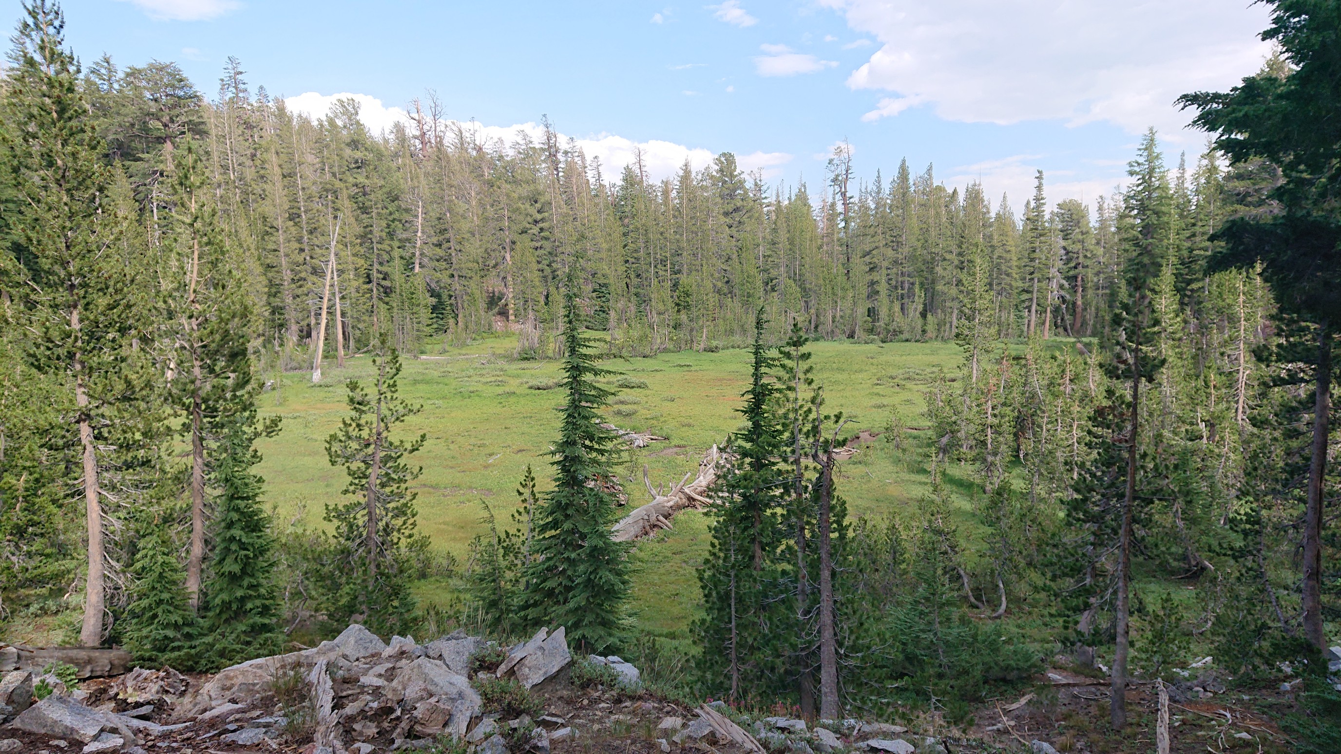
As I got higher, I met a group that was hiking up to the same lake, and one woman had done the SHR seven years ago, so we swapped stories for a bit. They were taking a long meal break, so I continued on.
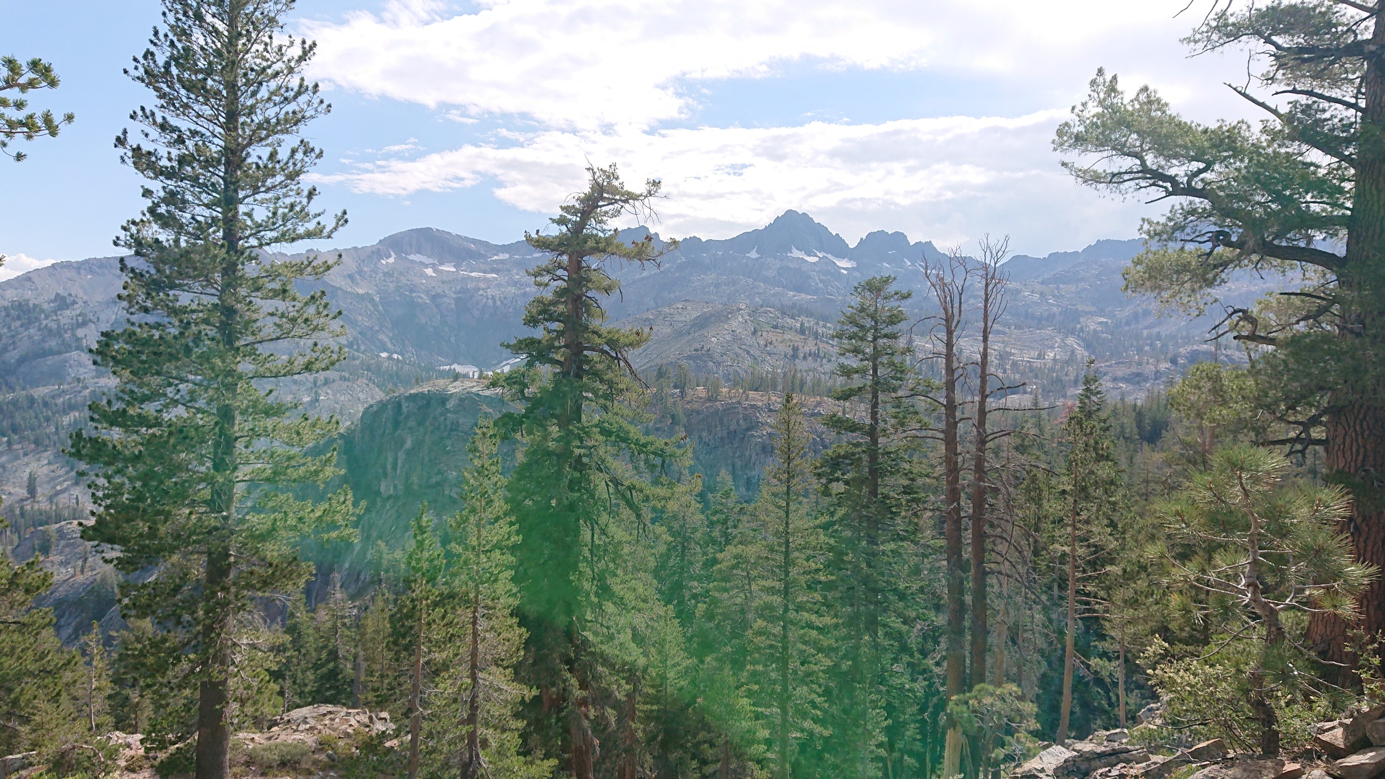
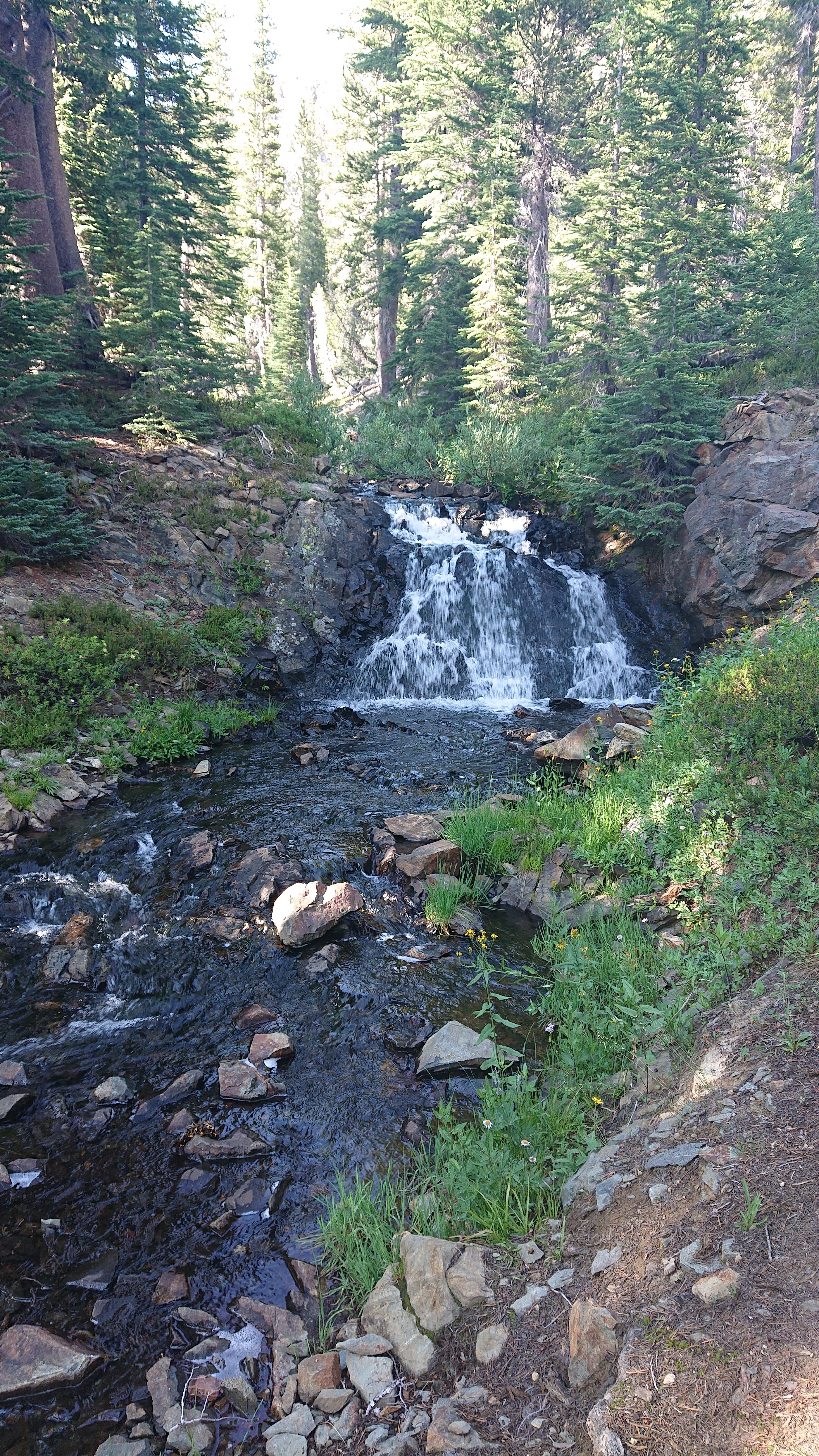
As I got closer to Superior Lake, I kept crossing a little creek with many waterfalls.
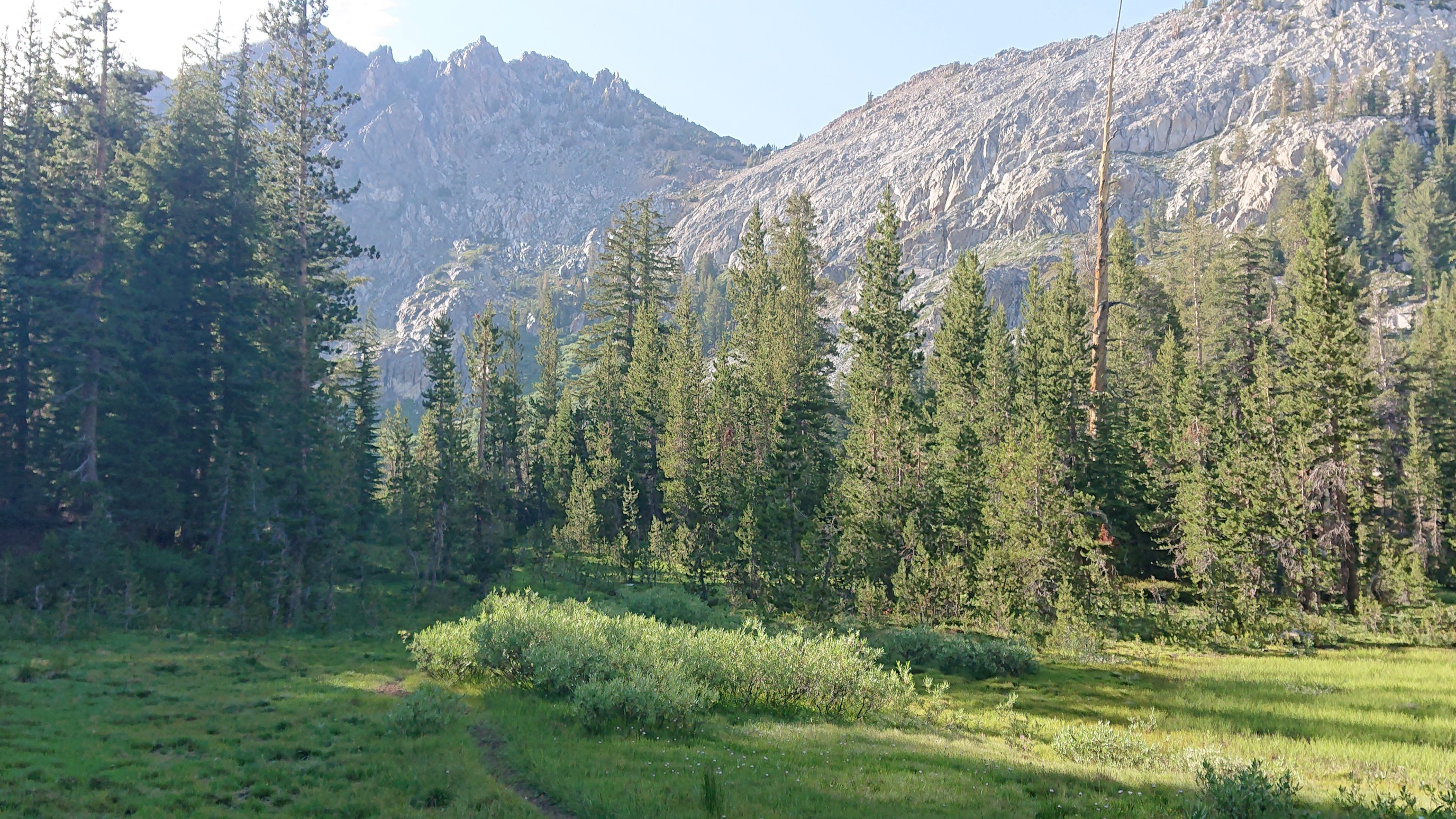
The lake itself was shallow and marshy, but I had a view of the pass ahead.
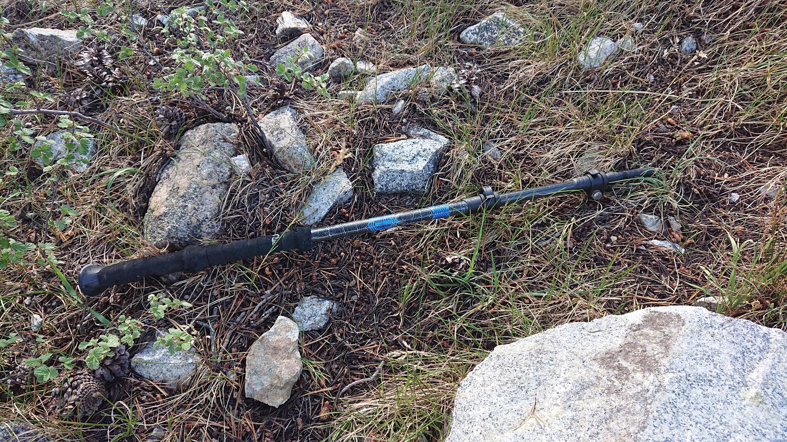
I left the trail and started finding my way up the pass. About halfway up, I found a hiking pole! Weird.
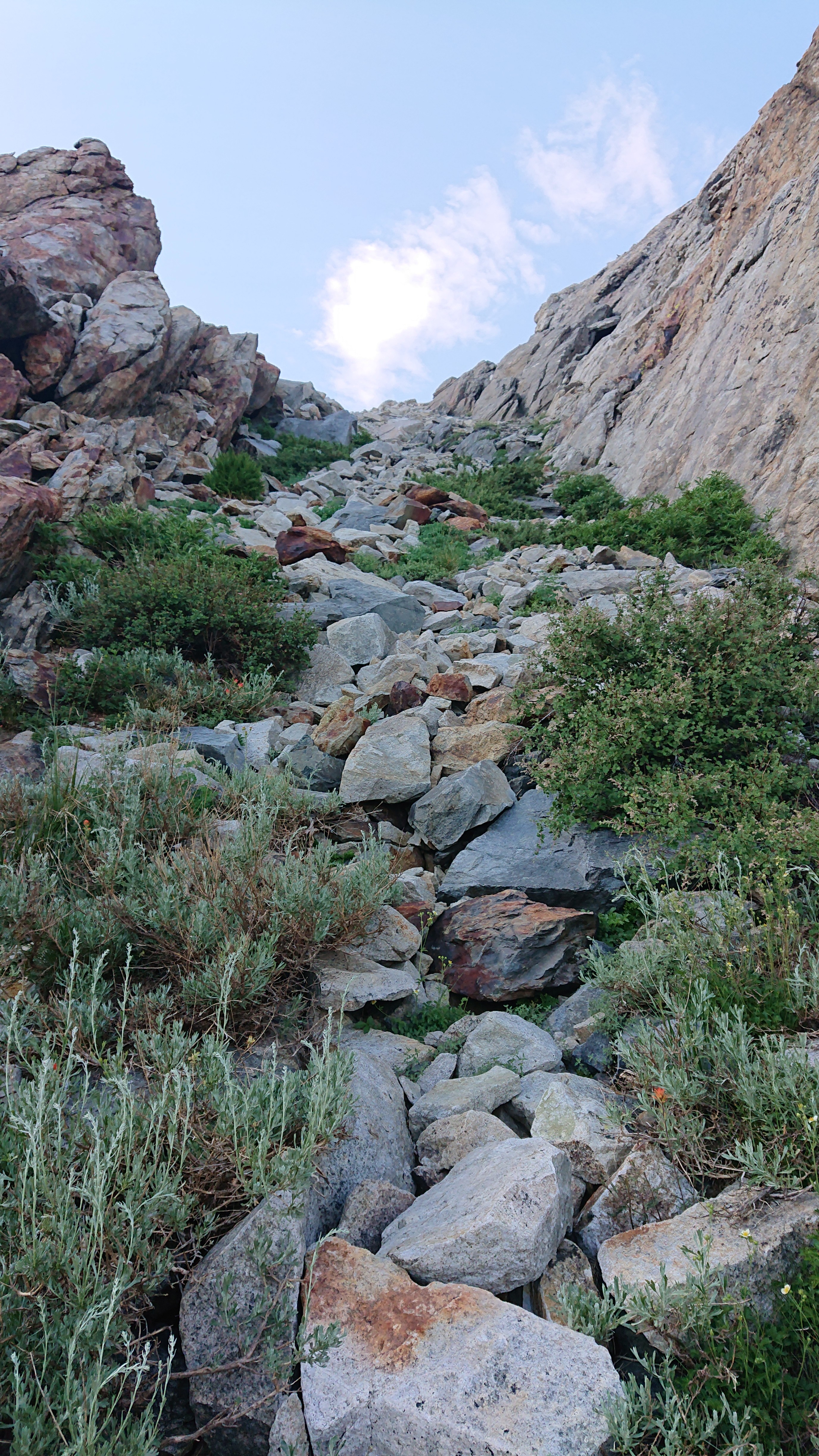
It was a short climb, but rocky and sustained uphill.
The view looking north from the top of Nancy Pass.
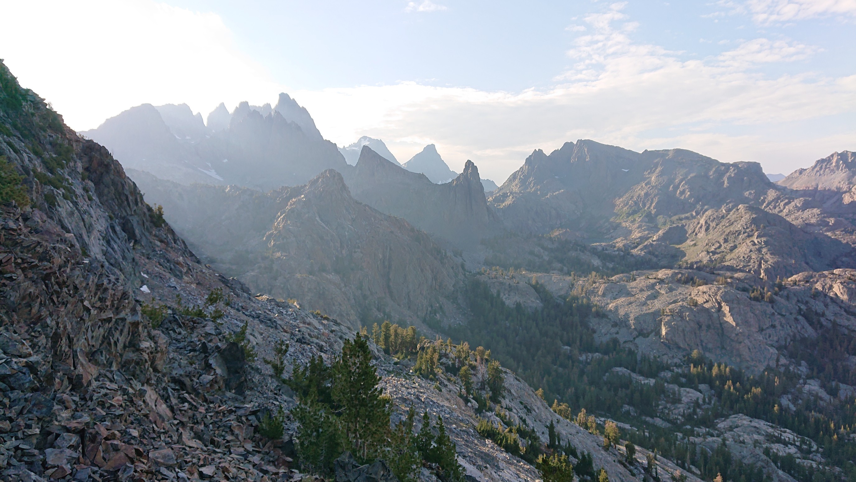
It was 6:30pm, and good weather, so I decided to camp on the pass.
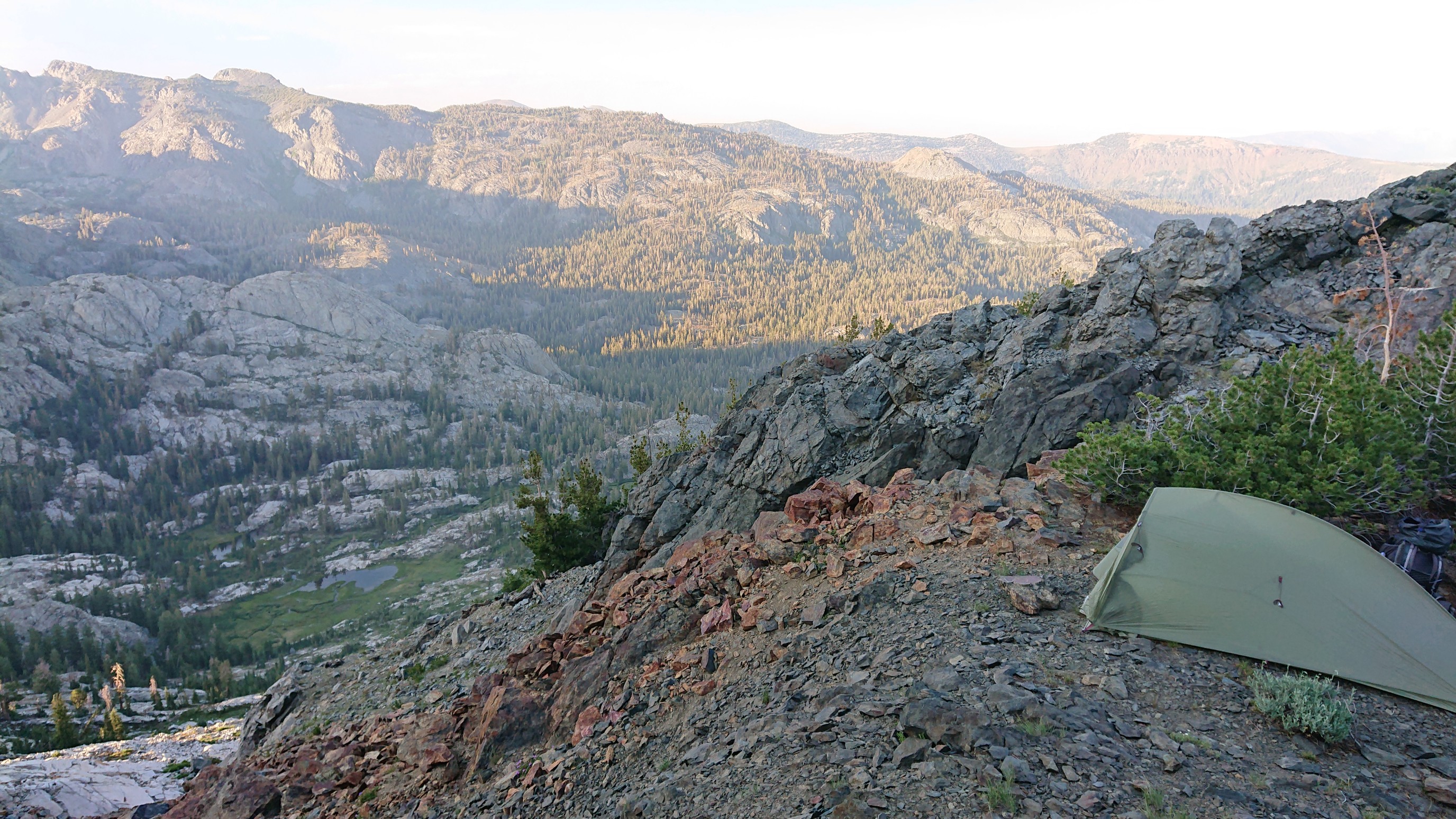
Tomorrow I figure out how to get down the pass…