Sunday August 2, 27.7mi/44.6km
Lower Precipice Lake (57.7/9880ft) to Crescent Meadow (75.6/6710ft) (CA) +9.8mi to Cahoon Gap (9.8/8645ft)
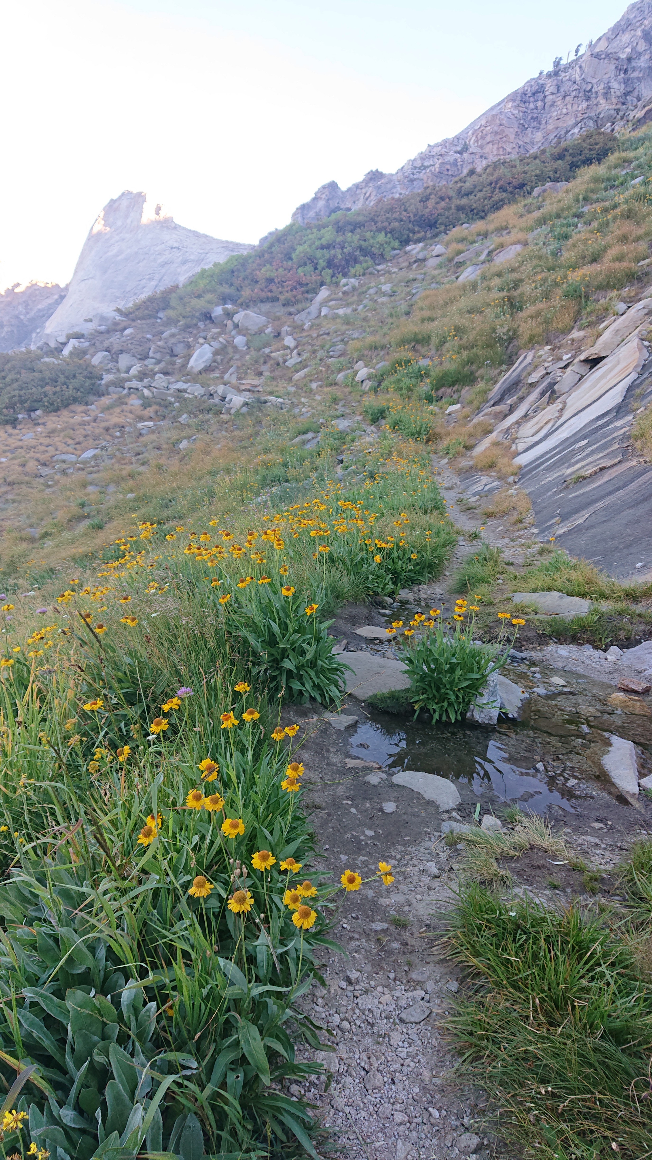
My last day on the HST went by quickly. I started by hiking downhill 1700ft to Hamilton Lake, passing thru many alpine meadows.
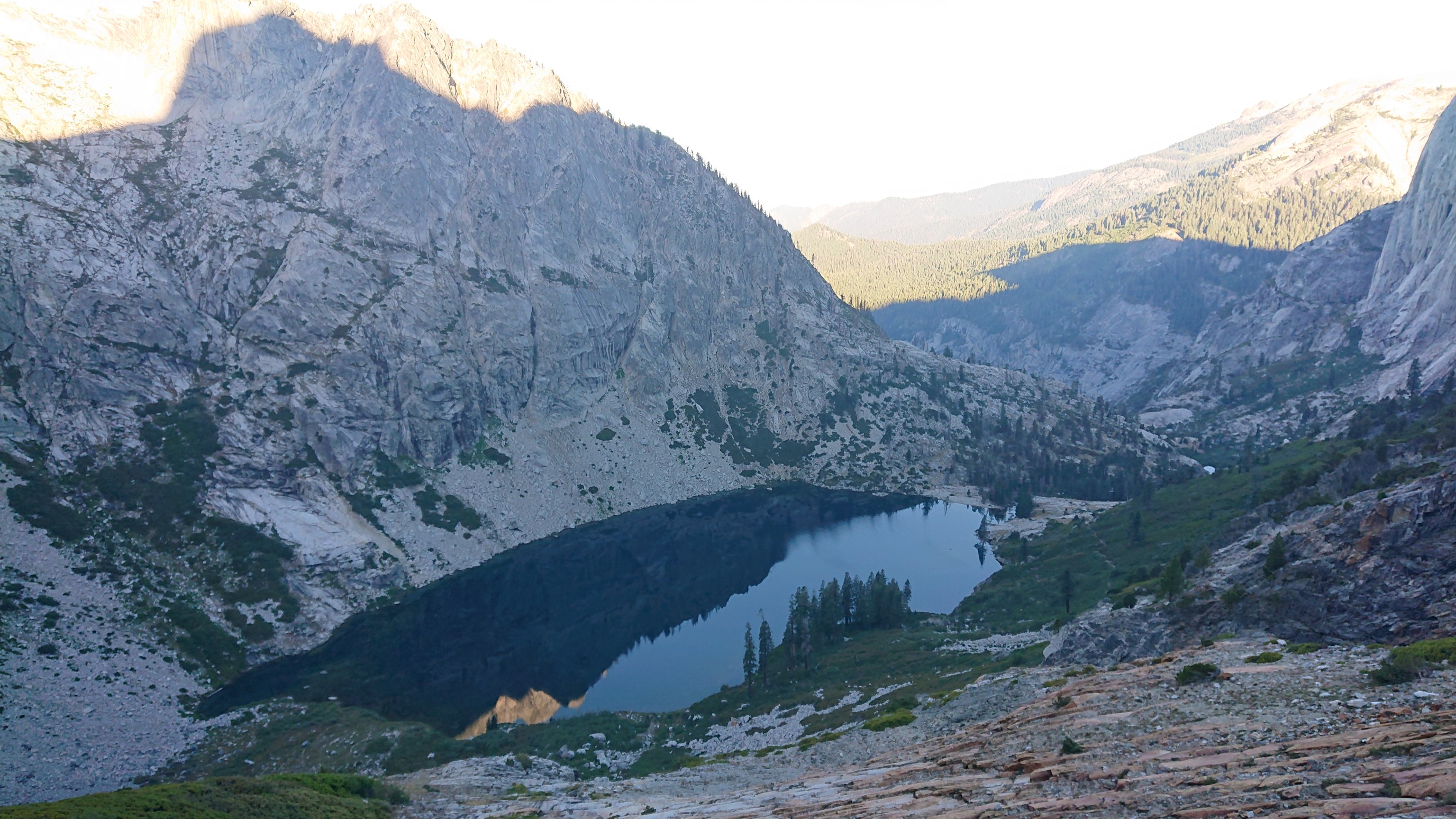
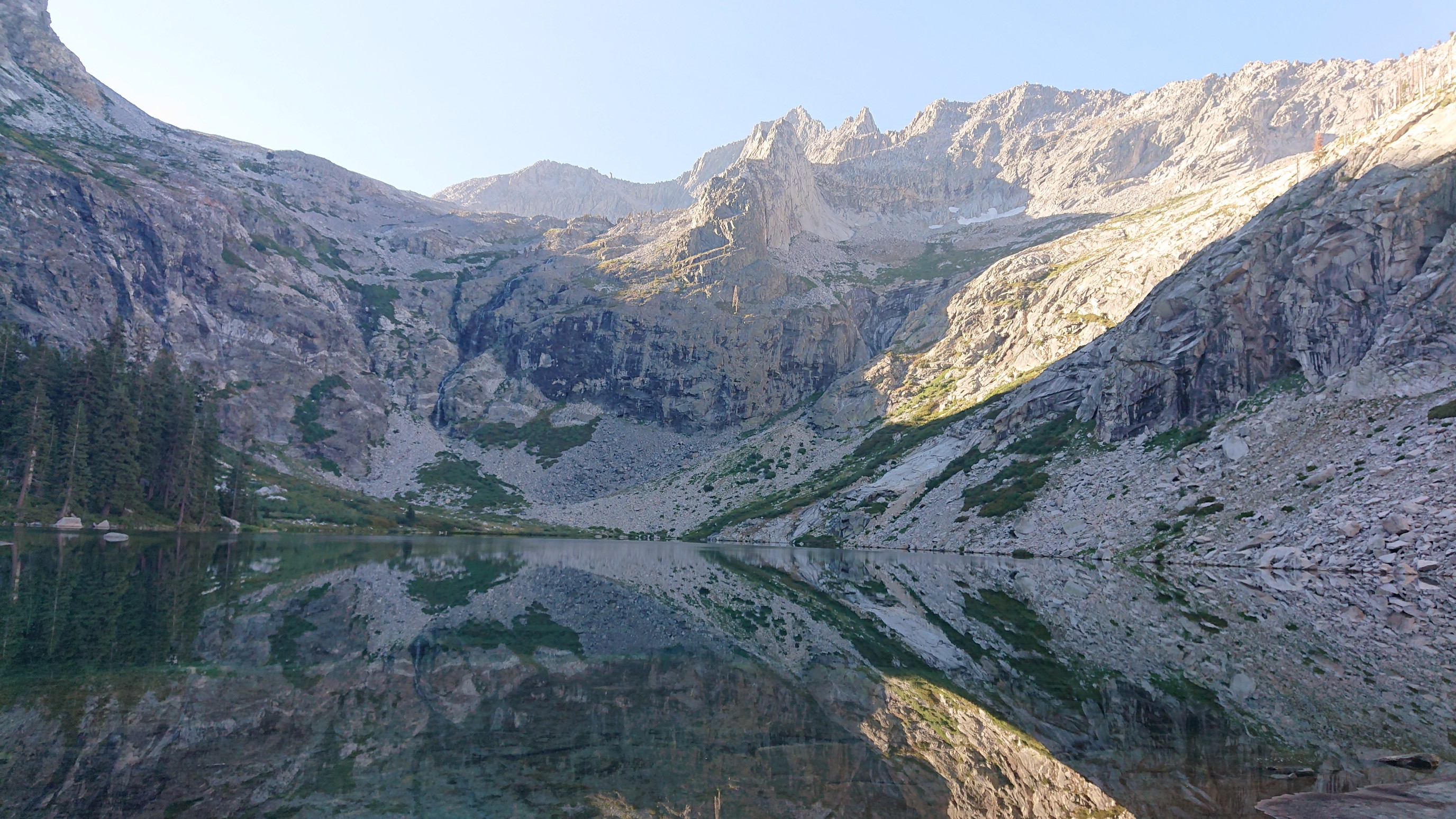
Hamilton Lake far below.
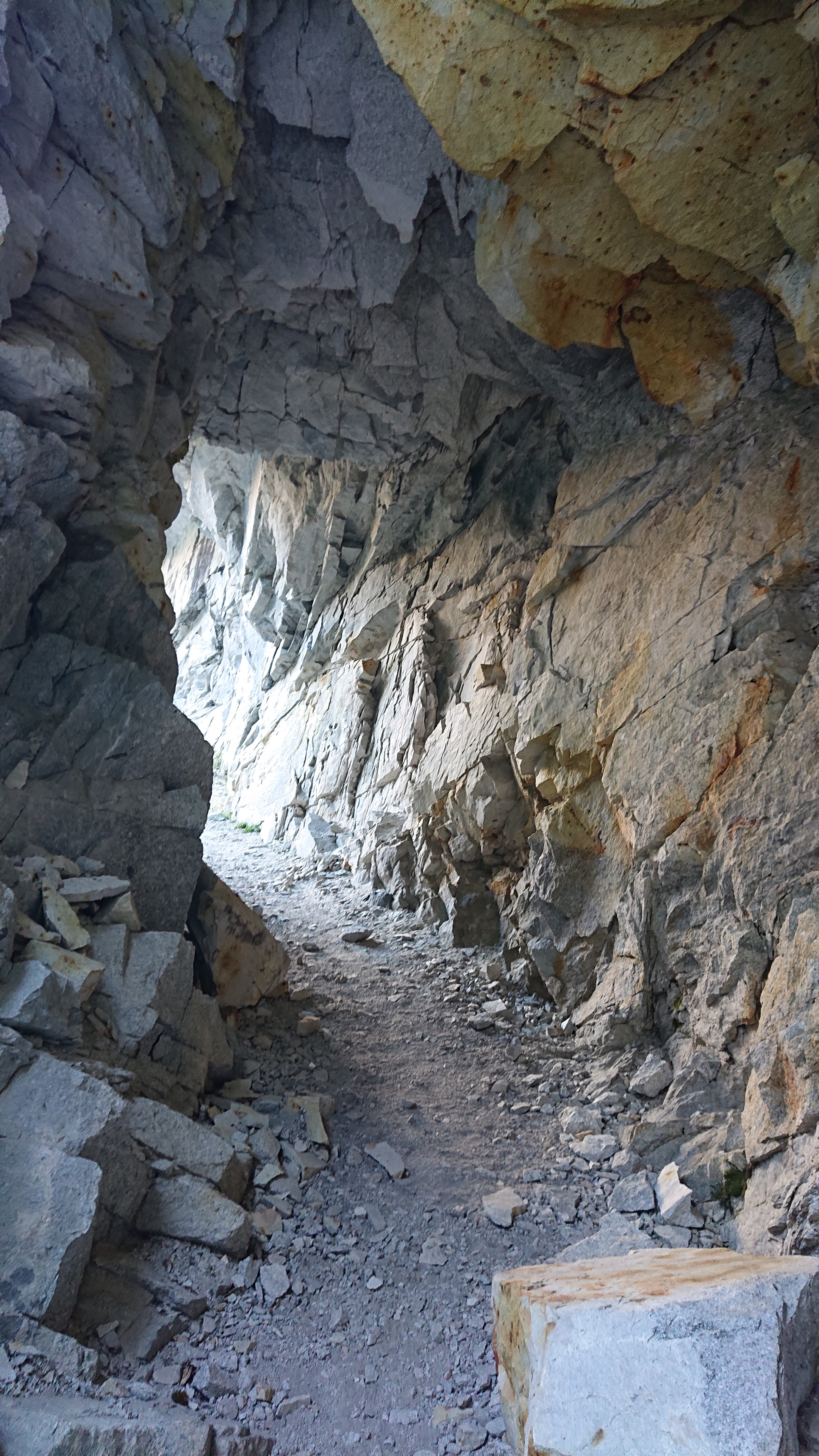
Sometimes the terrain was very steep, and it was impressive what trail builders did to make it passable. Like a tunnel!
Hamilton Lake getting closer.
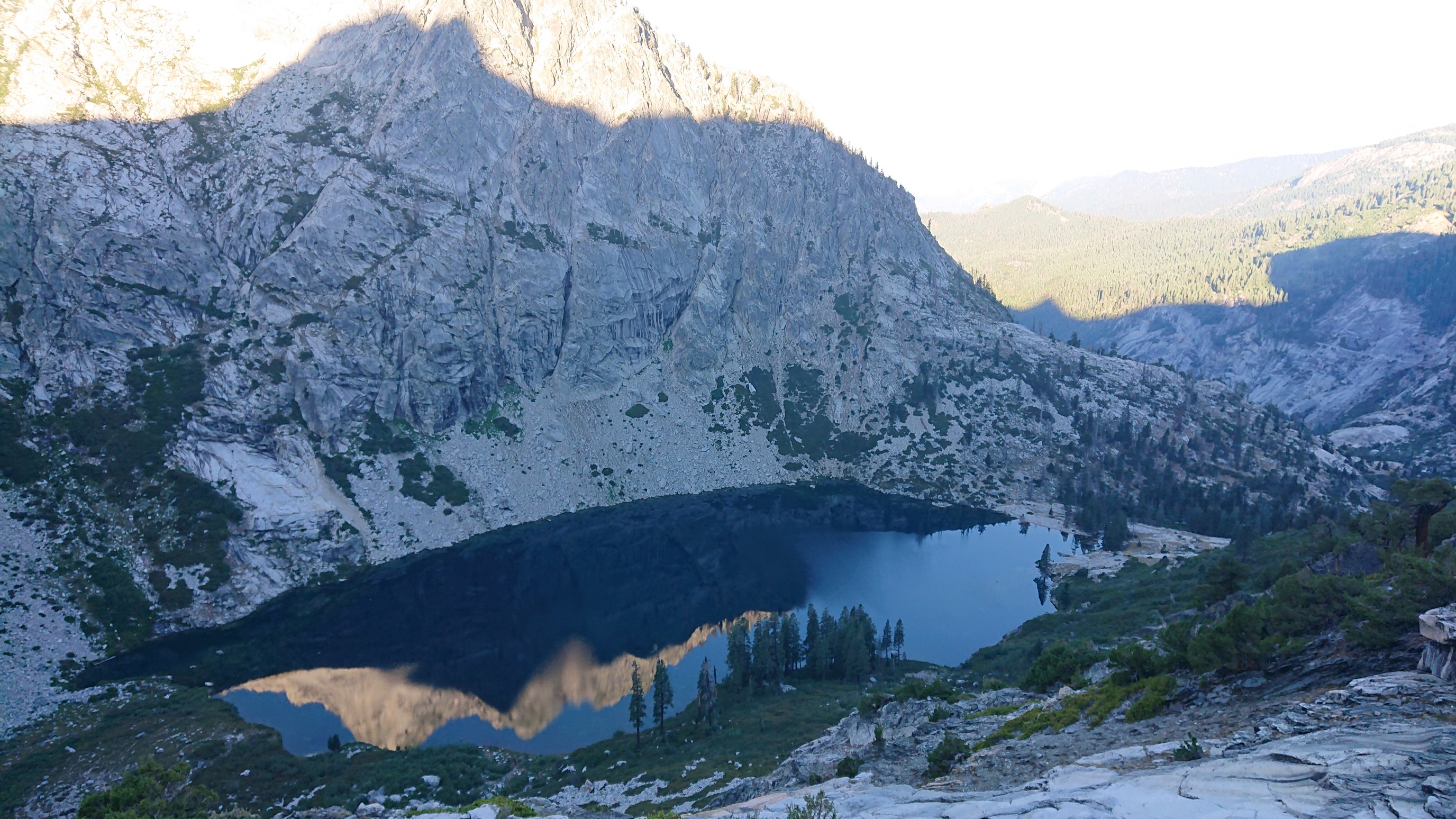
Finally I got to the lake I had been watching for over an hour. There were many people camped nearby, I’m glad I didn’t come down here to camp last night.
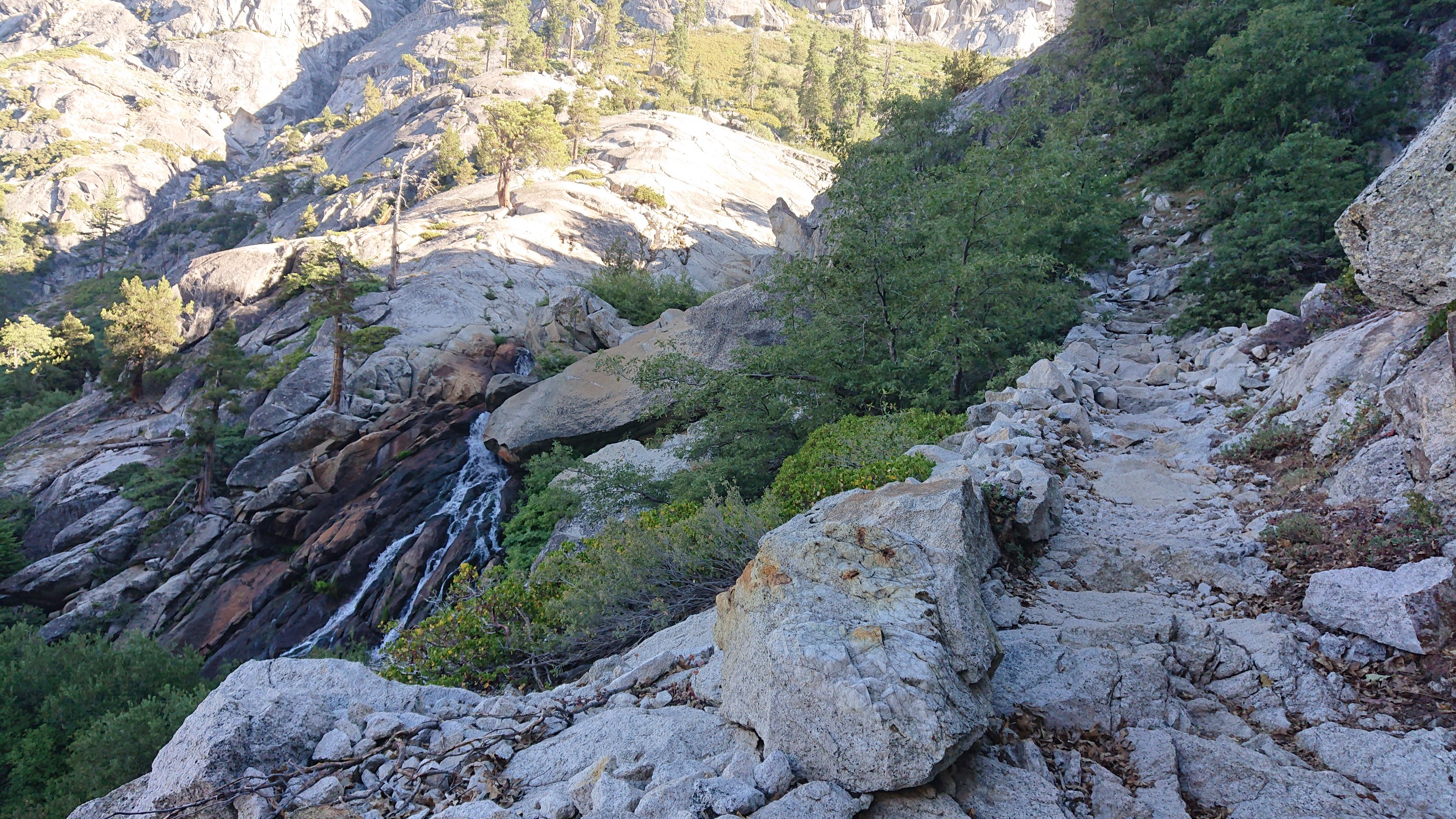
Then the trail followed Hamilton Creek downstream for a short while, it was entertaining to see all the waterfalls.
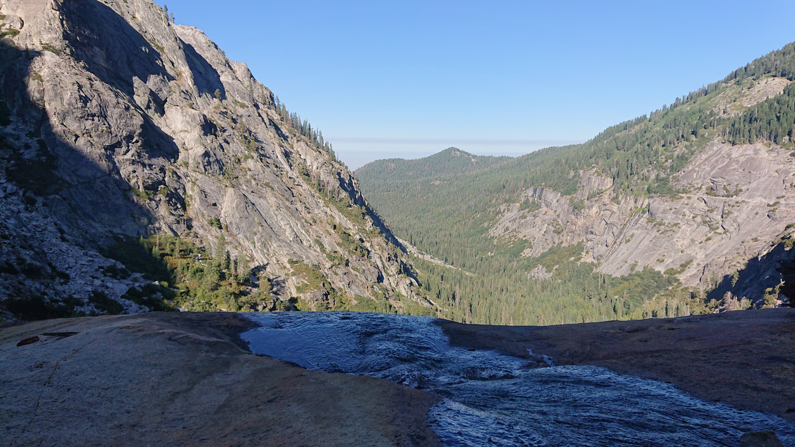
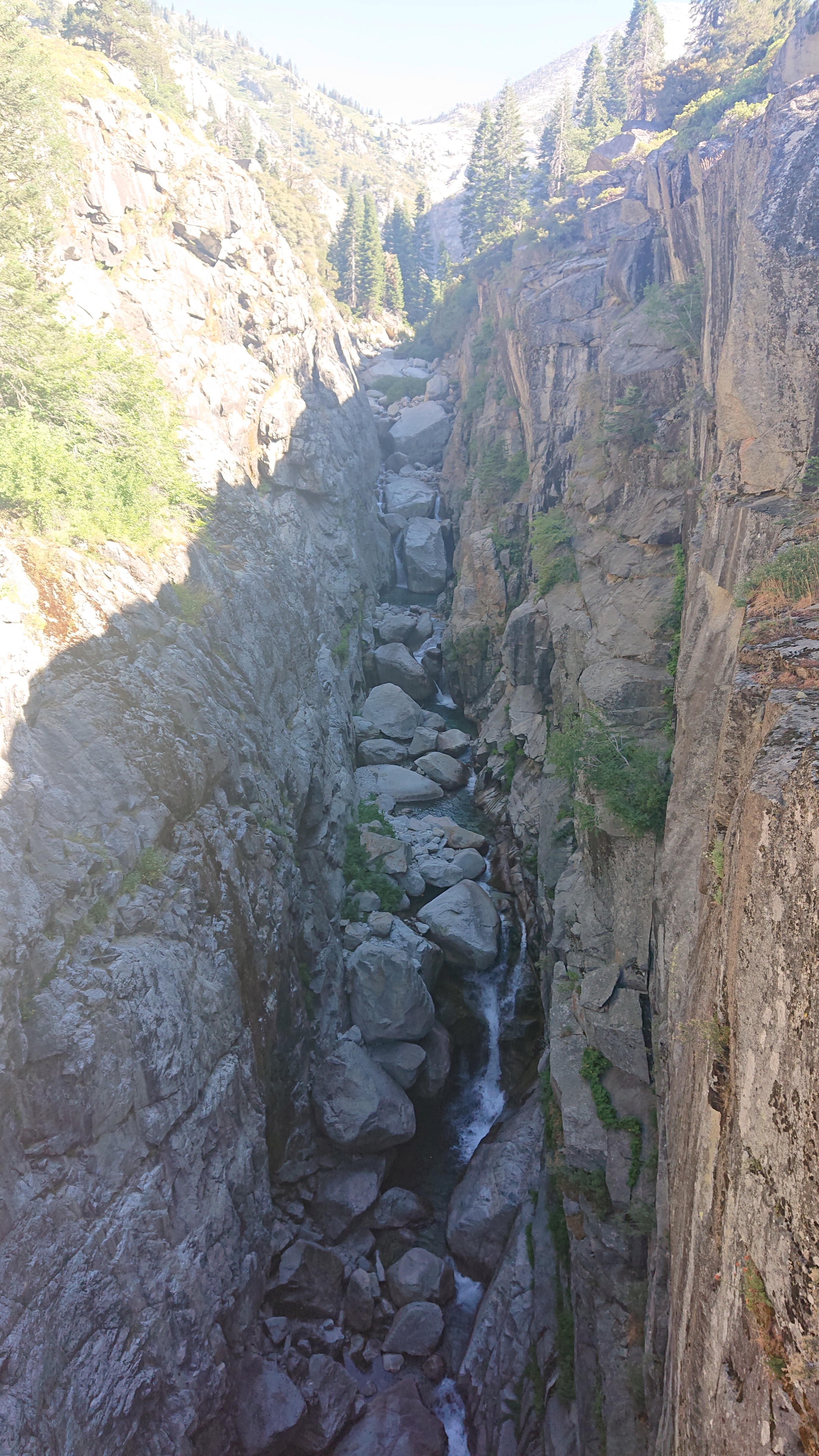
And this is where the trail crossed the stream, which disappeared over a cliff.
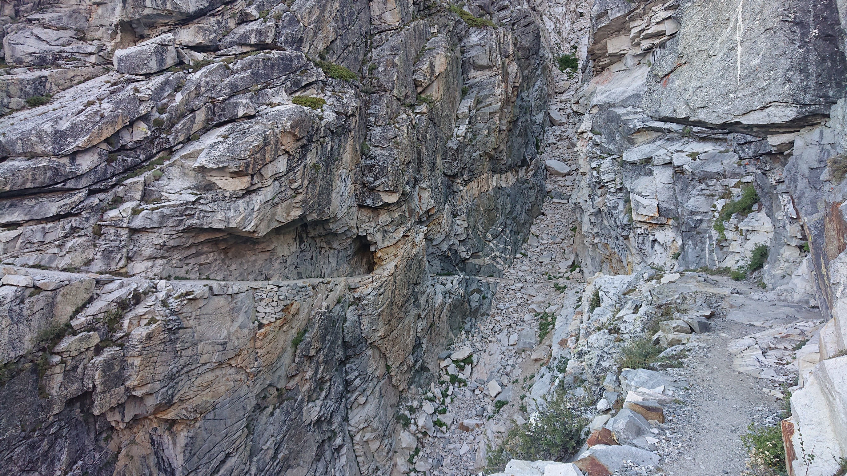
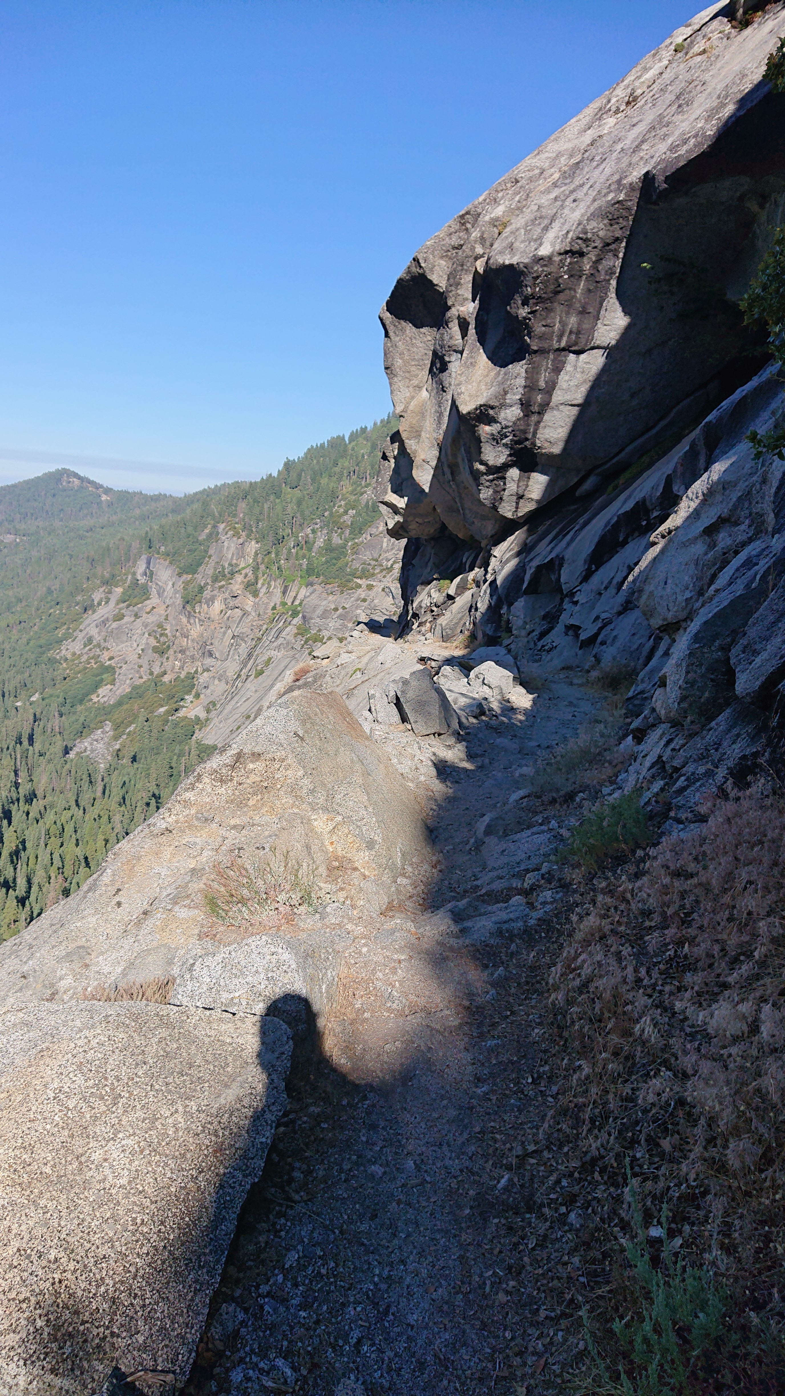
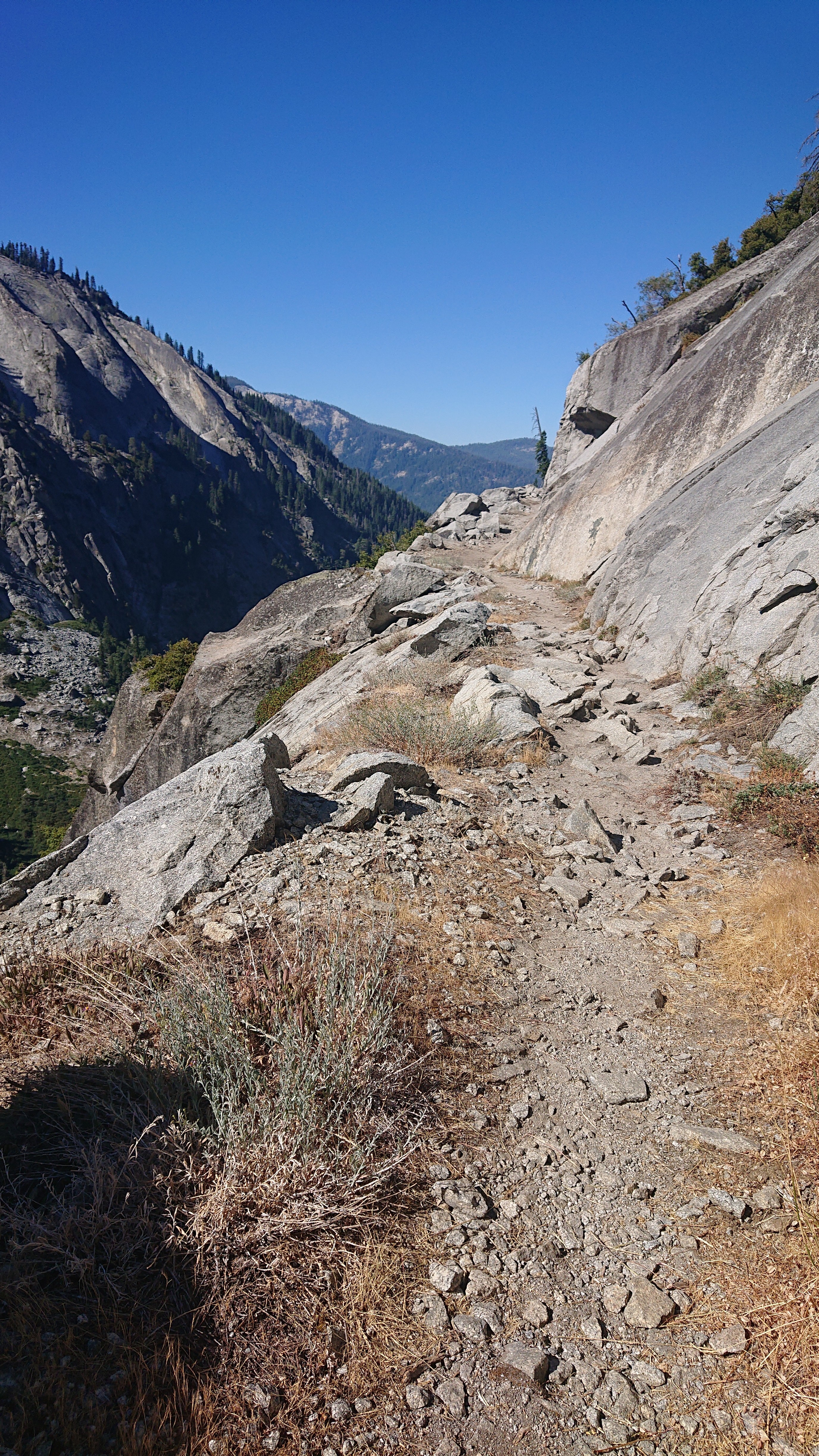
The trail stayed high on the hillside as the stream plunged into the valley below, it was impressive trail construction.
I was quite surprised when I came to a bridge over a side creek.
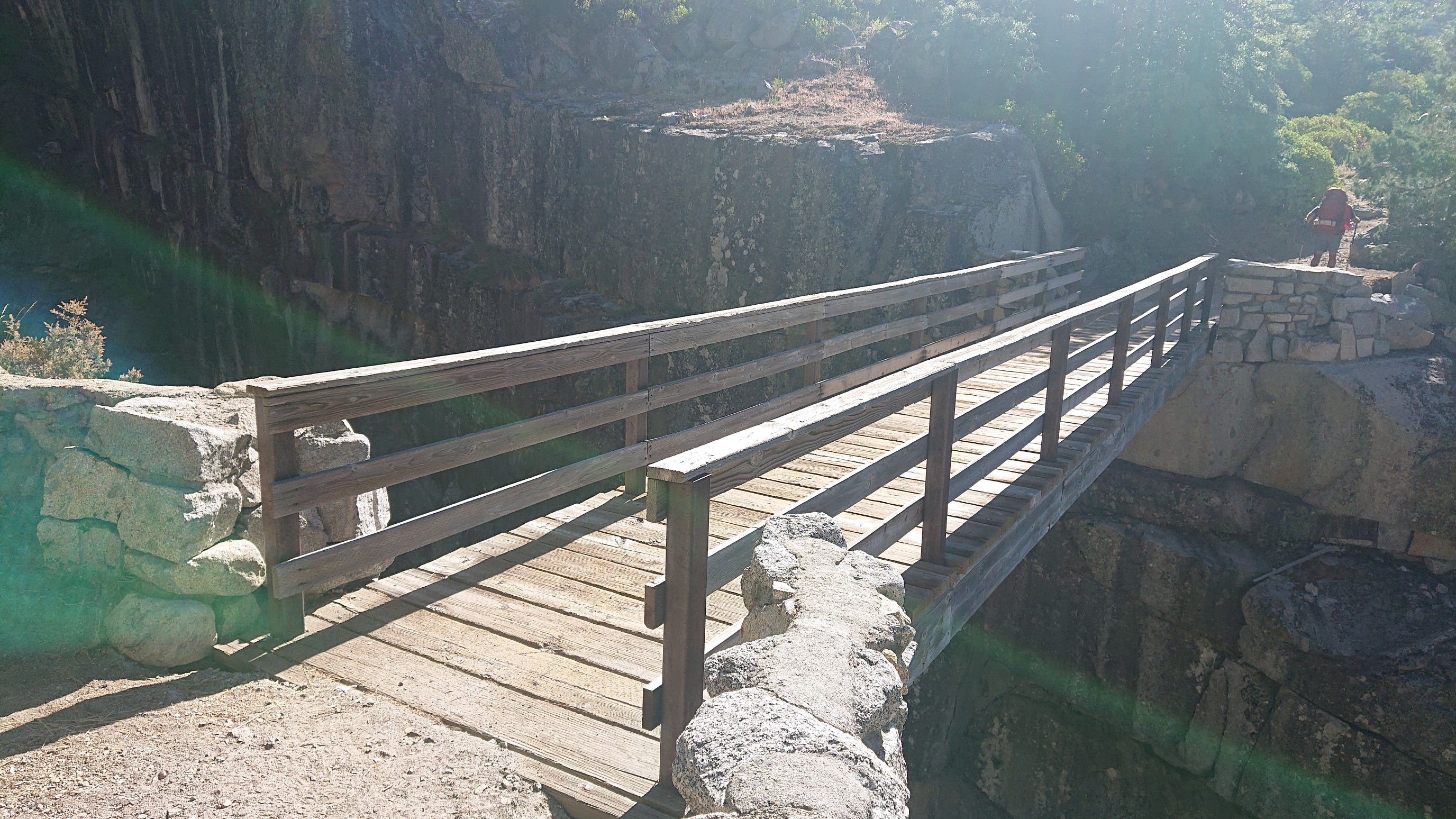
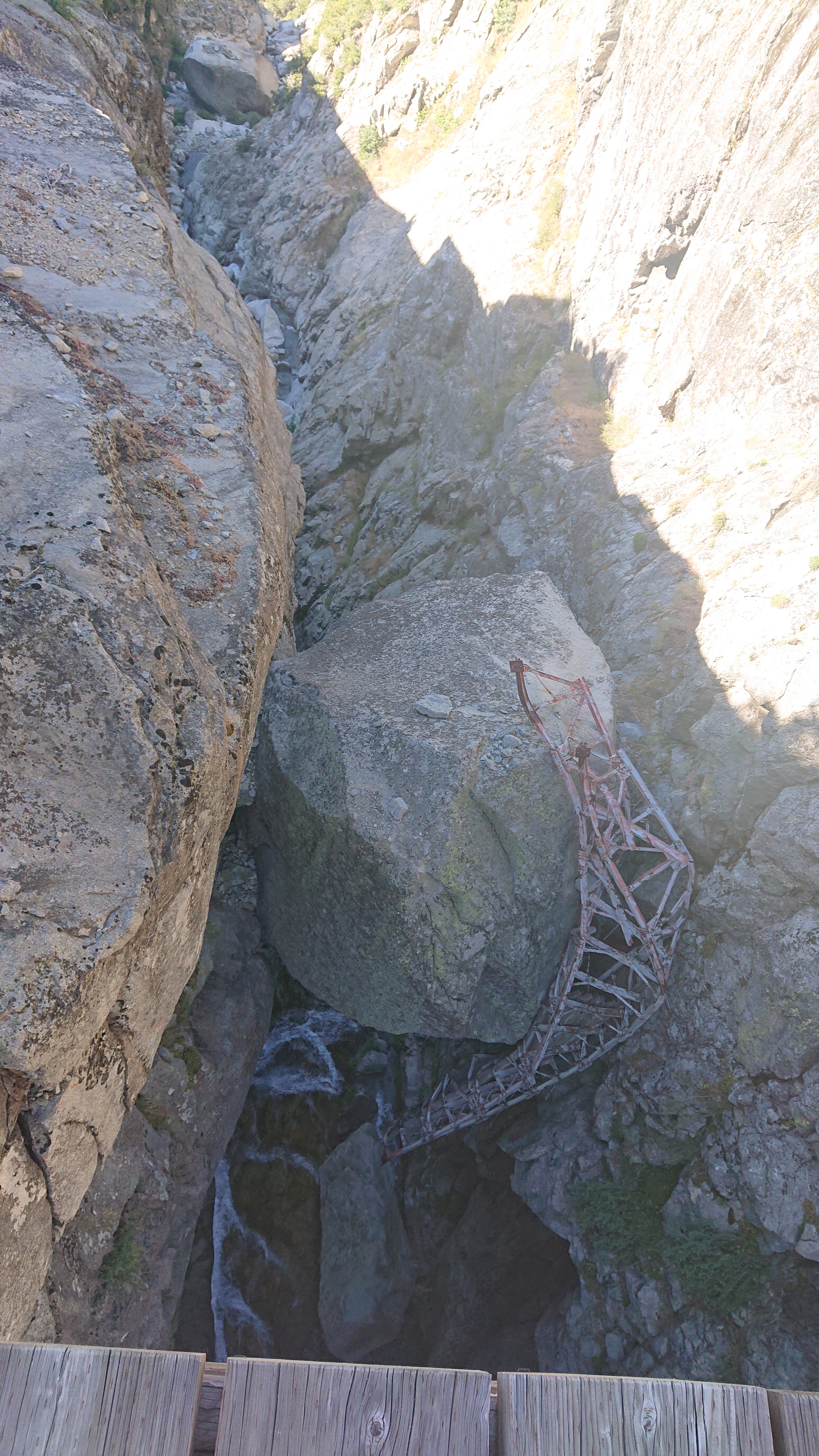
Looking down from the bridge, there was an insanely deep chasm.
With the remains of the old bridge, as a sort of reminder to keep moving, ha!
The trail continued its impressive journey on the hillside all the way to Bearpaw meadows.
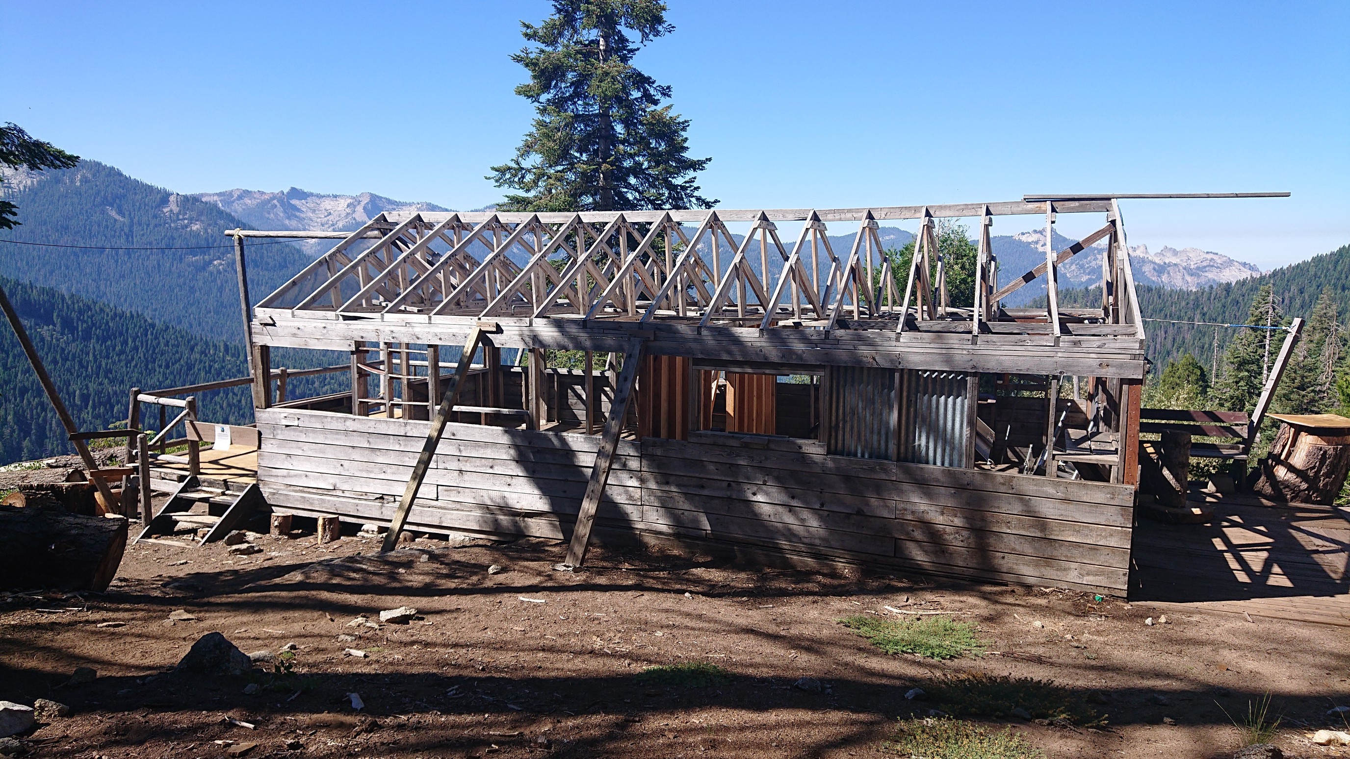
At Bearpaw meadows, there were a strange number of abandoned buildings.
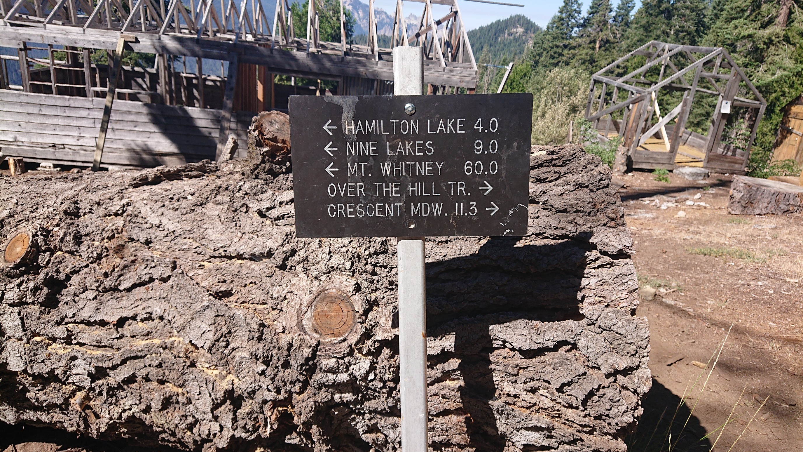
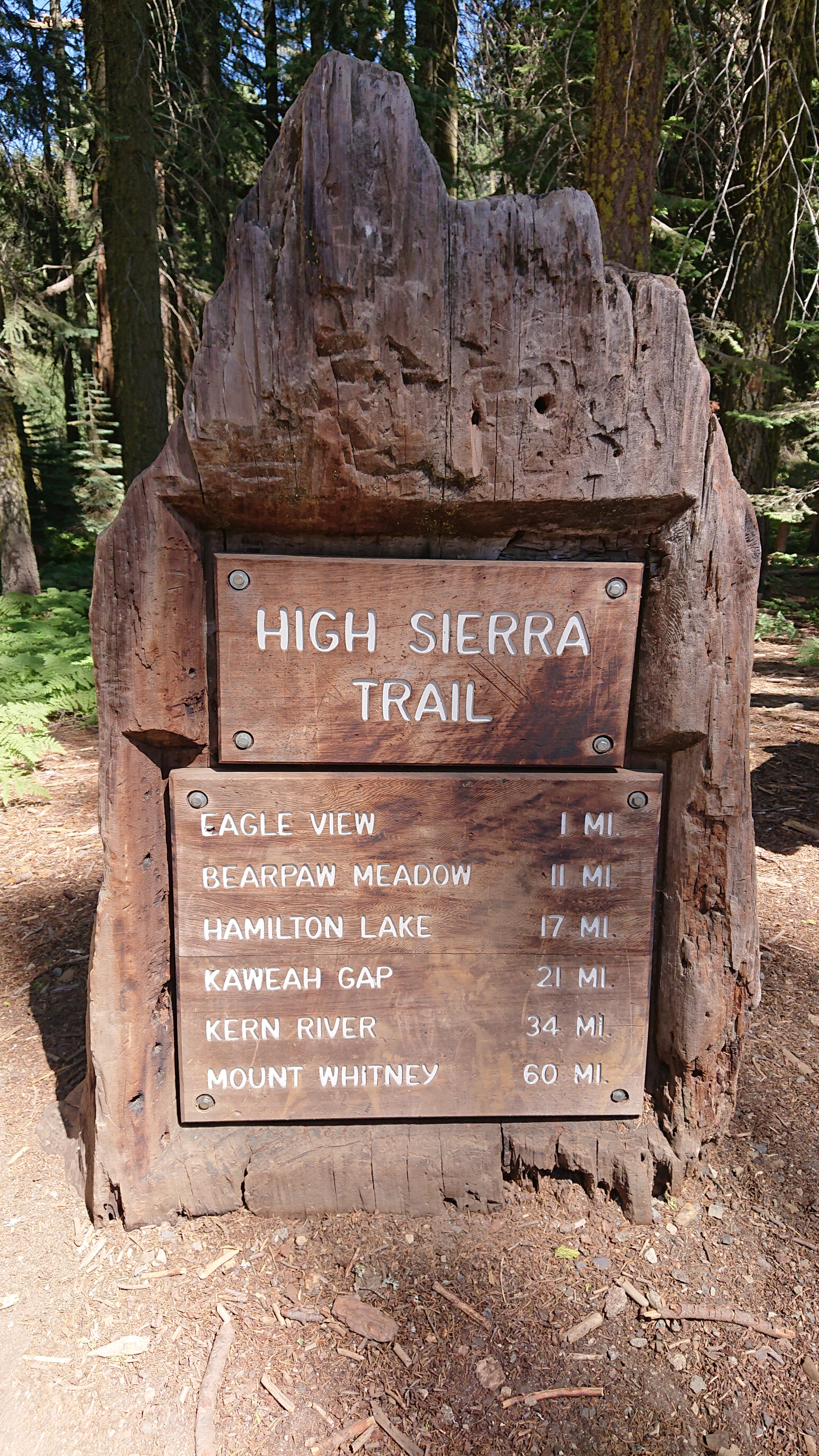
The sign says I only have 11.3 miles to go, excellent! And Mt Whitney is 60 miles away, crazy.
Thankfully, the trail stayed in a deeply shaded forest for a few hours, as it was getting hot out.

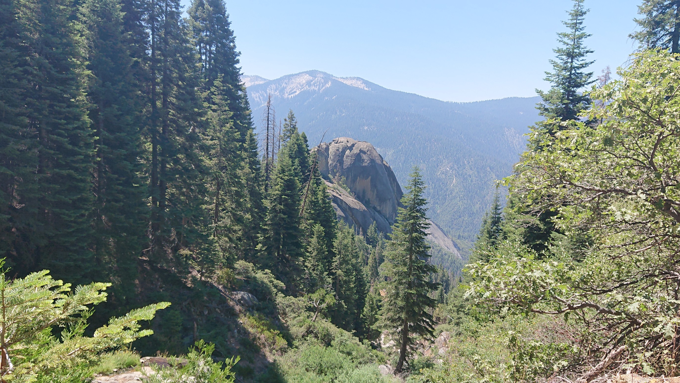
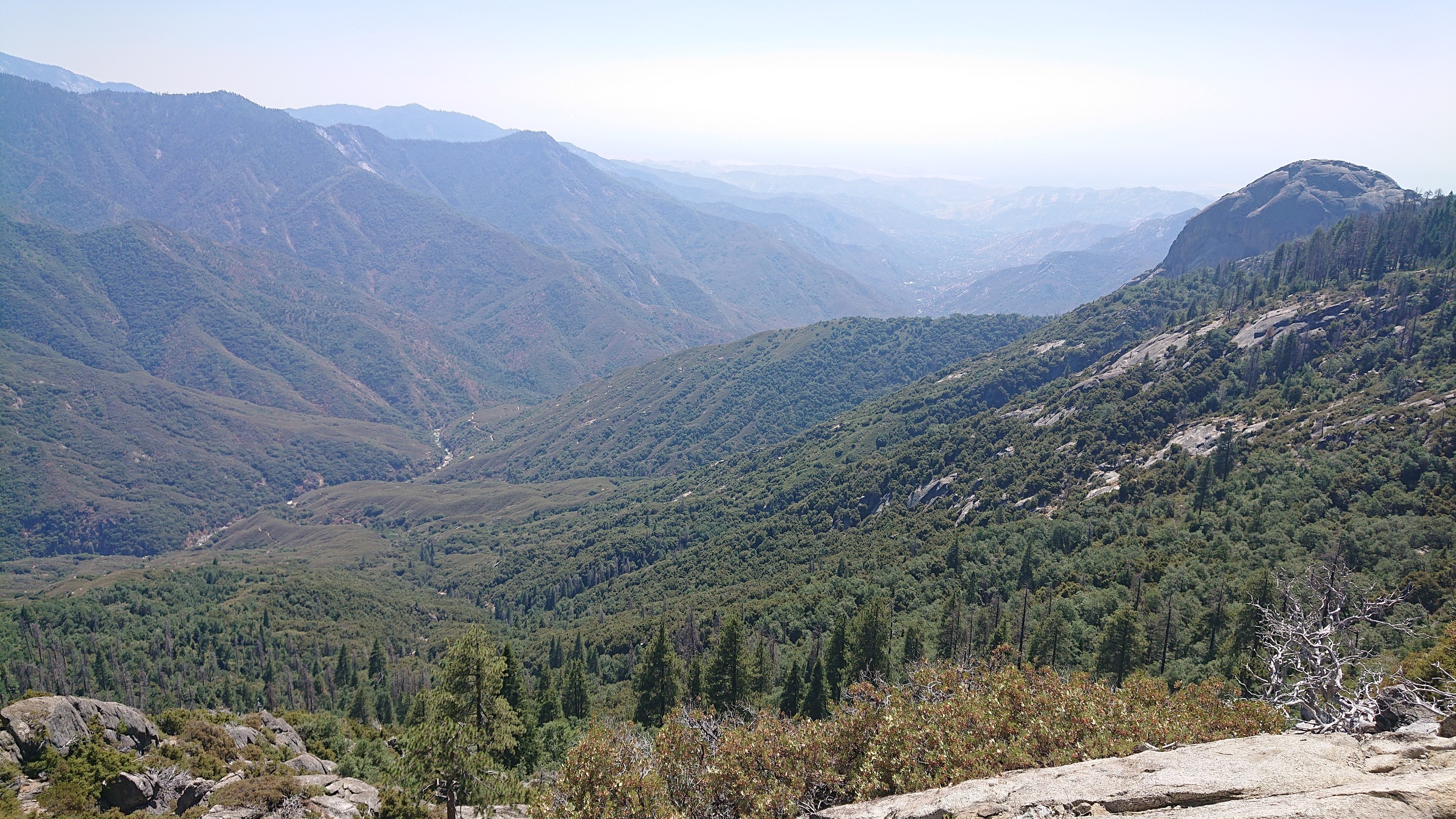
Still traversing the hillside, I occasionally had views below, like to Little Blue Dome.
Towards the end of the day, the trail returned to its exposed traverse, now high above the Middle Fork Kaweah River.
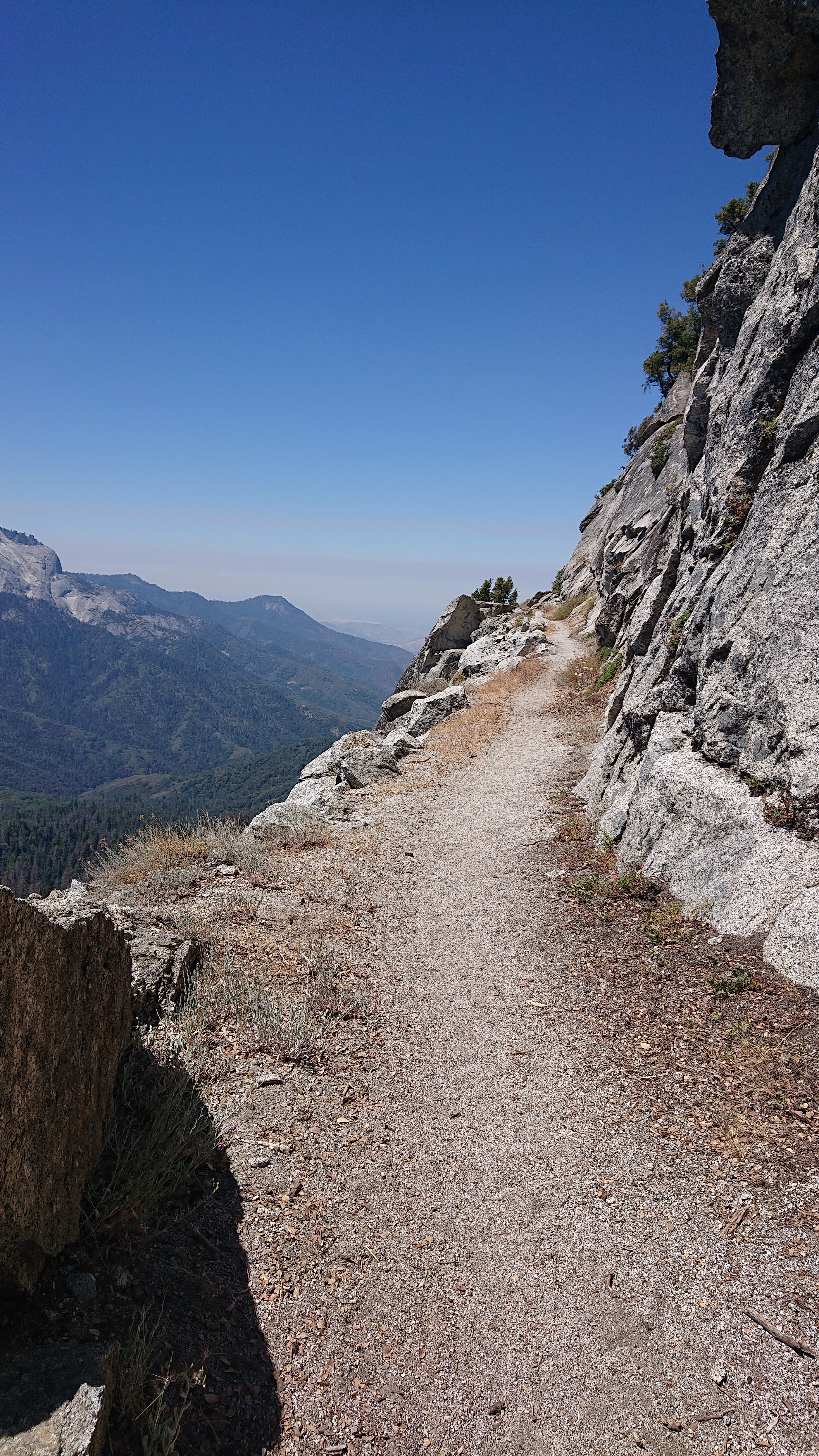
I could see all the way down the valley to the towns near the park boundary.
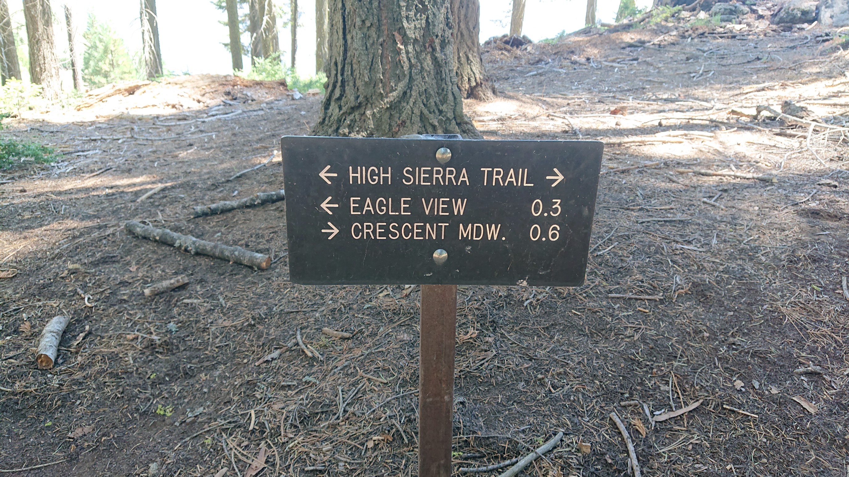
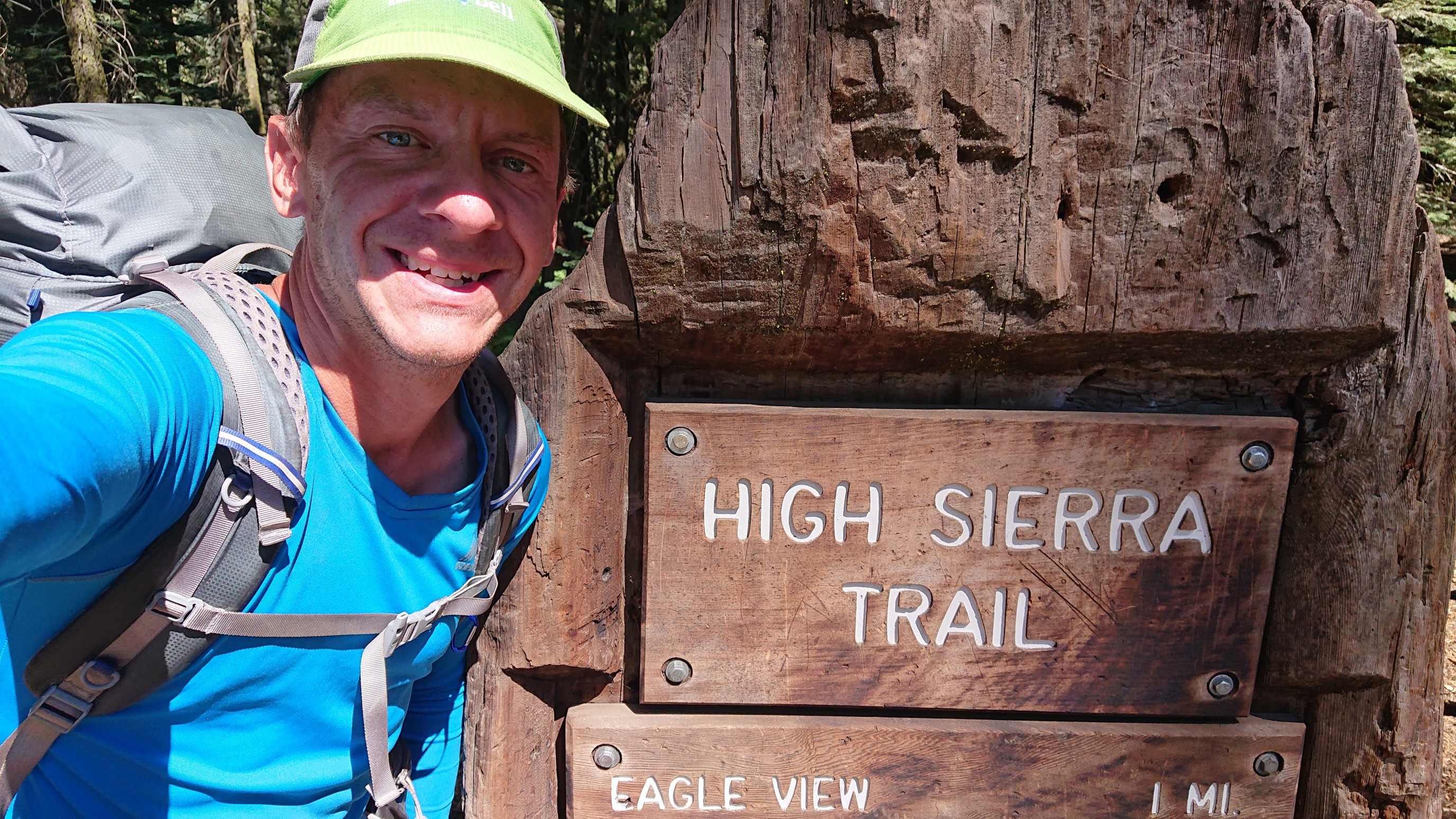
Just about a half mile before the end, I finally saw some signage for the High Sierra Trail. It’s not just a line on a map!
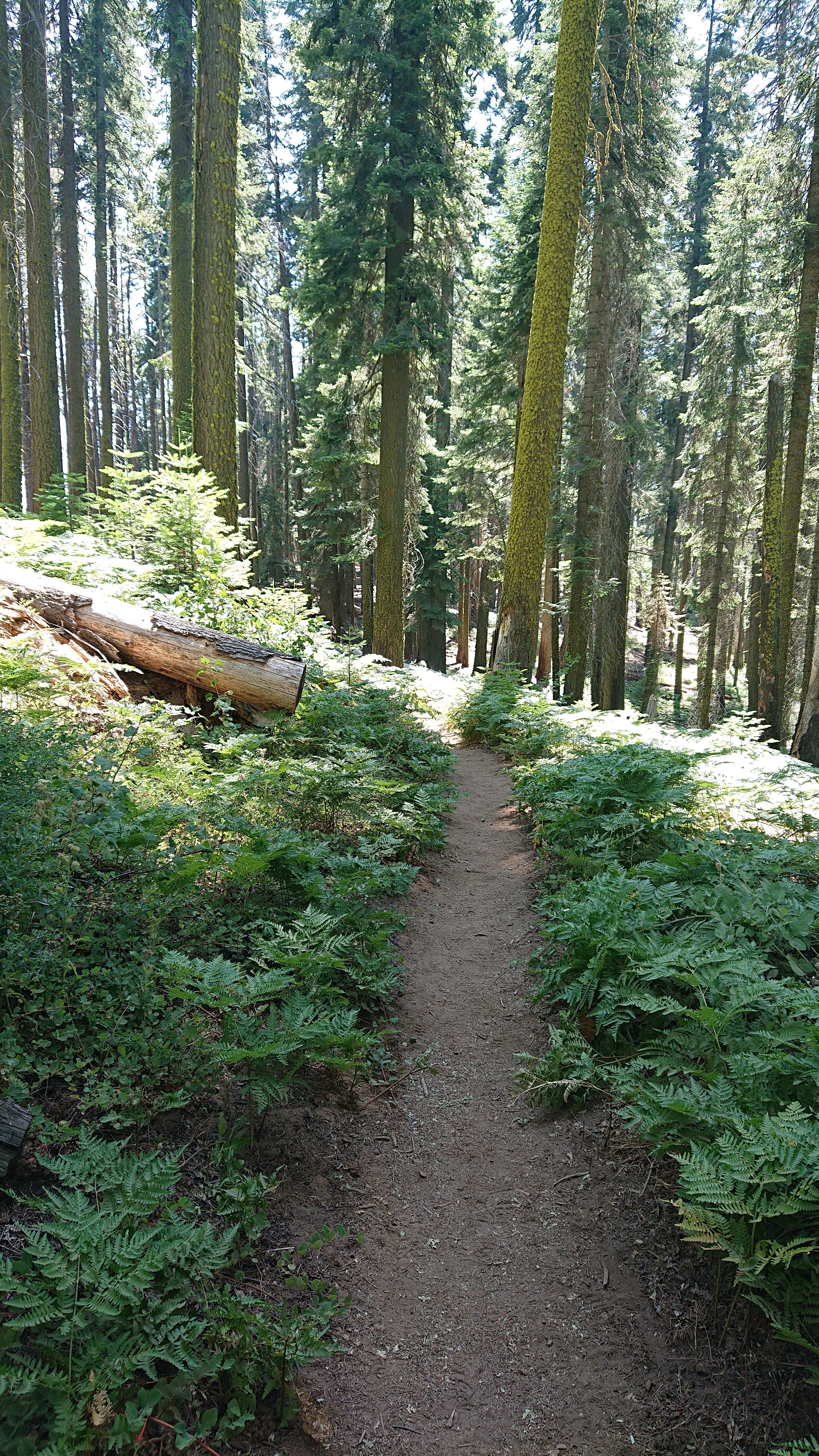
The final bit was thru a cool dark forest full of ferns.
And then around the corner, was Crescent Meadow. I was done!
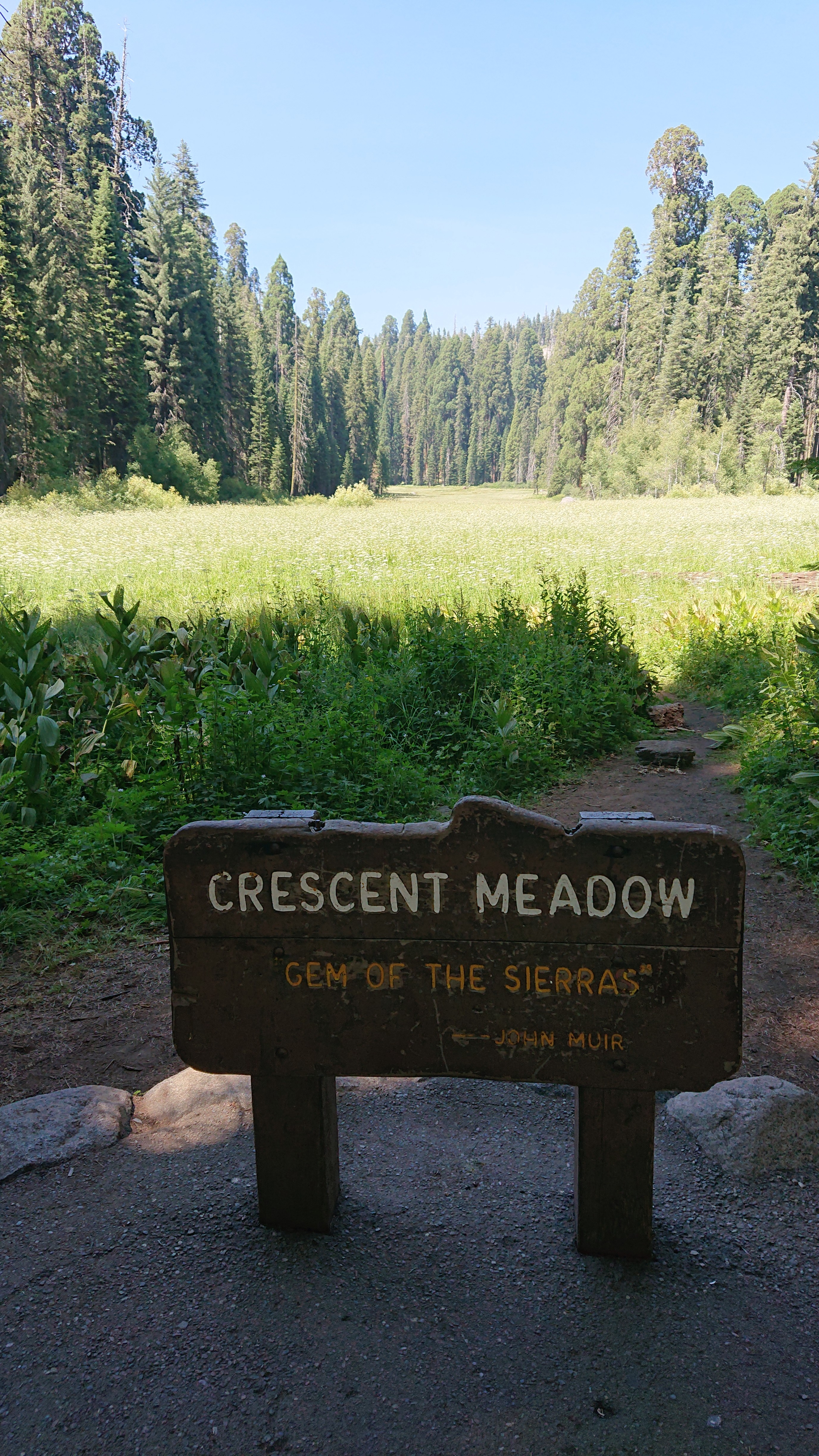
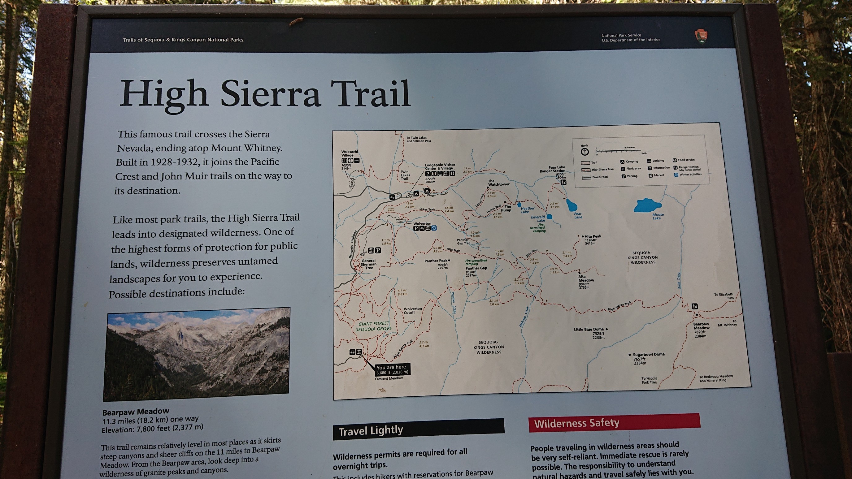
There was an interpretive sign at the trailhead.
And a fun distance sign, for the hikers starting from this end.
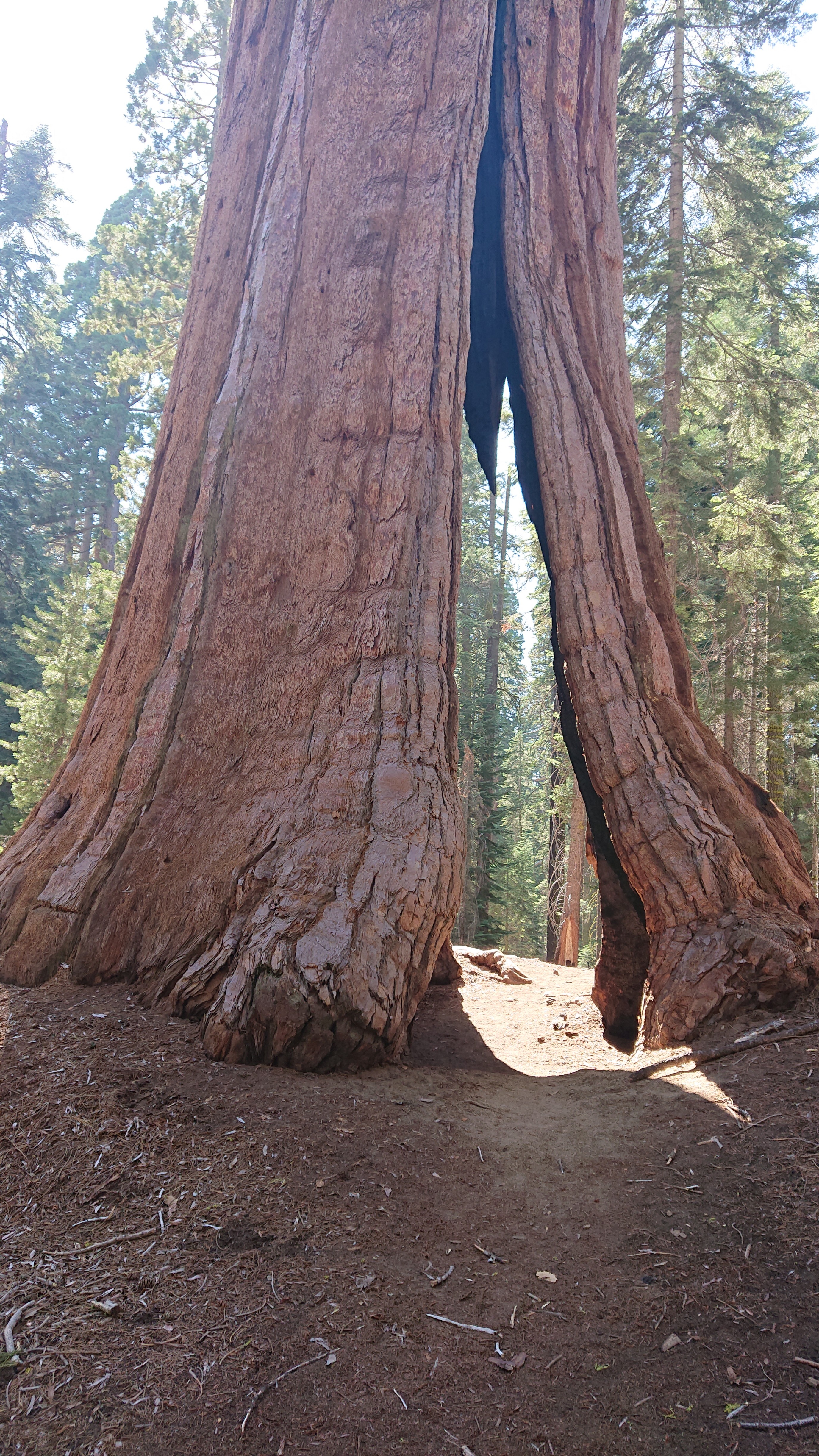
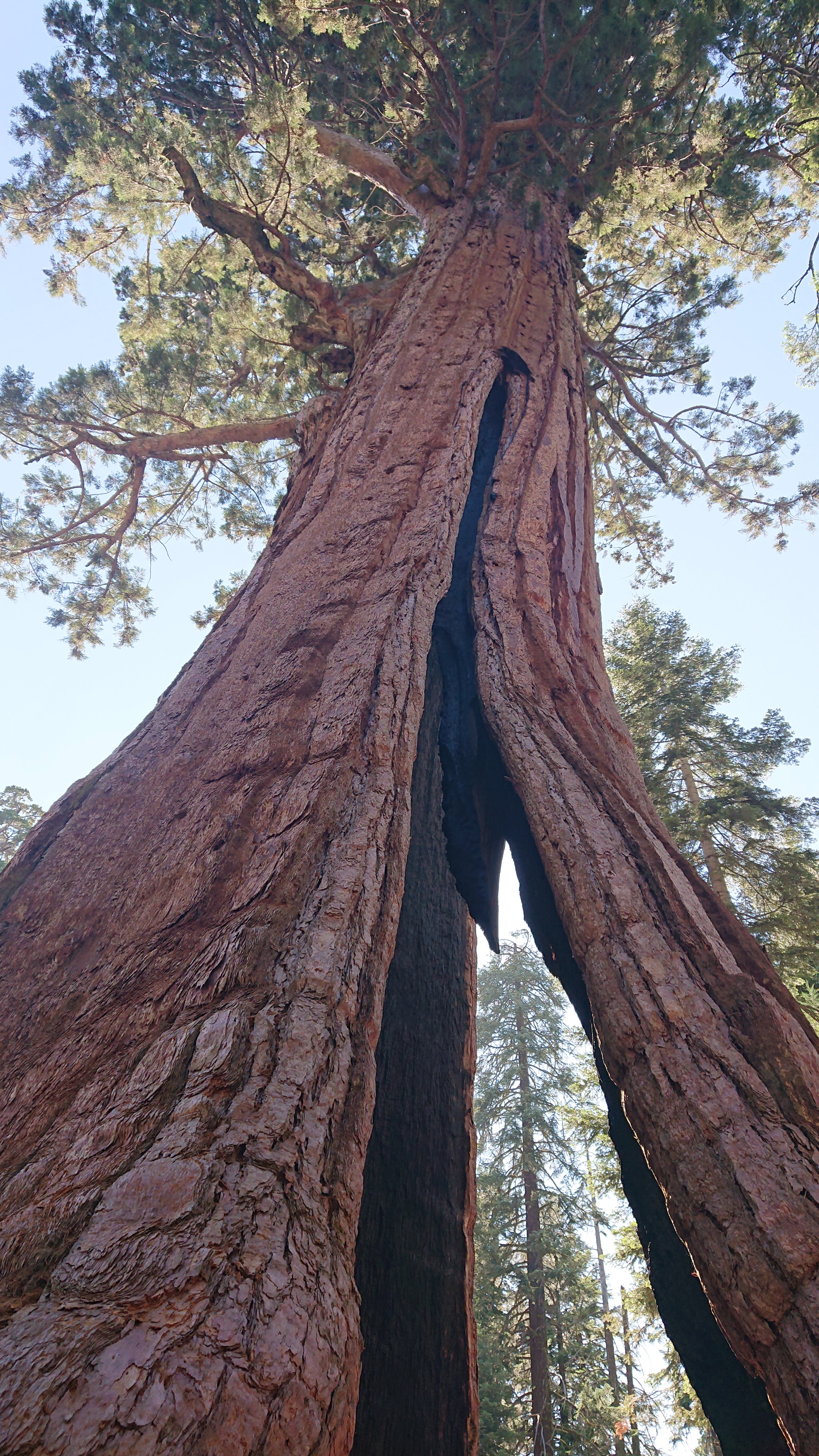
Now I was finished with the HST, and I was back on the west side of the Sierras, but not quite at my car, which is parked in King’s Canyon. So, north I went, thru the Giant Sequoia Groves! This tree was called the black arch.
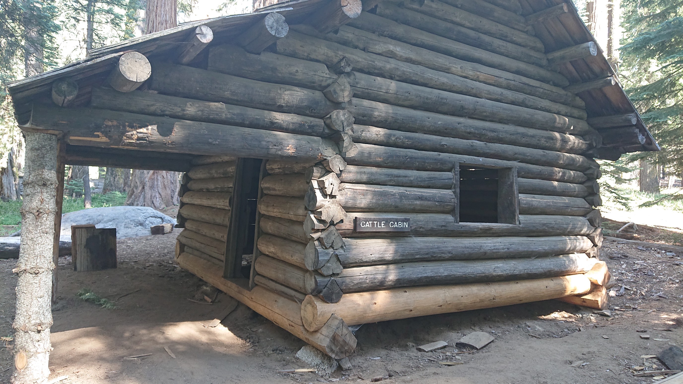
I passed by an old cattle rancher’s cabin, all the cattle were finally removed in 1917 when the land was purchased and added to the park.
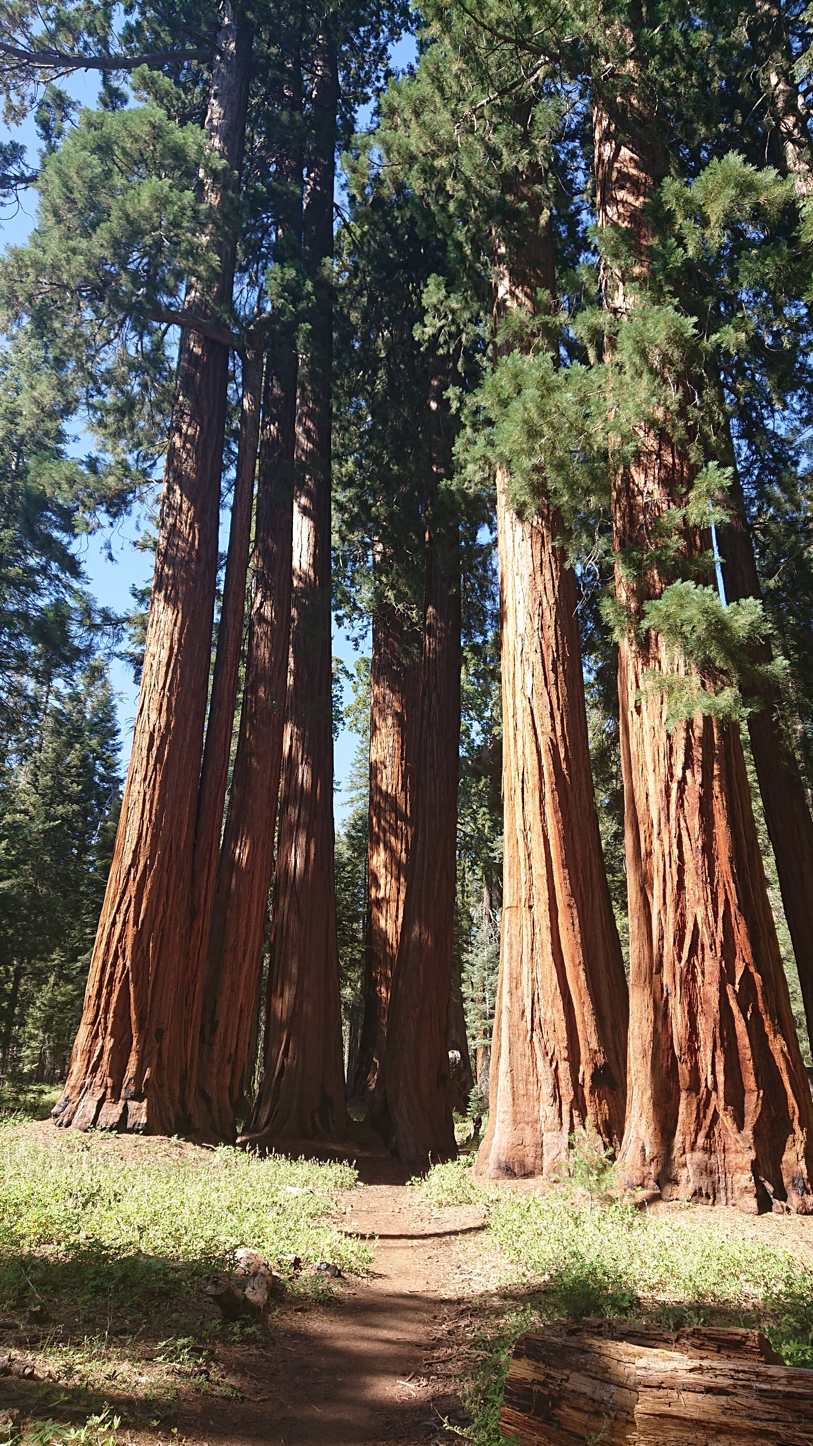
The Founders Group of trees.
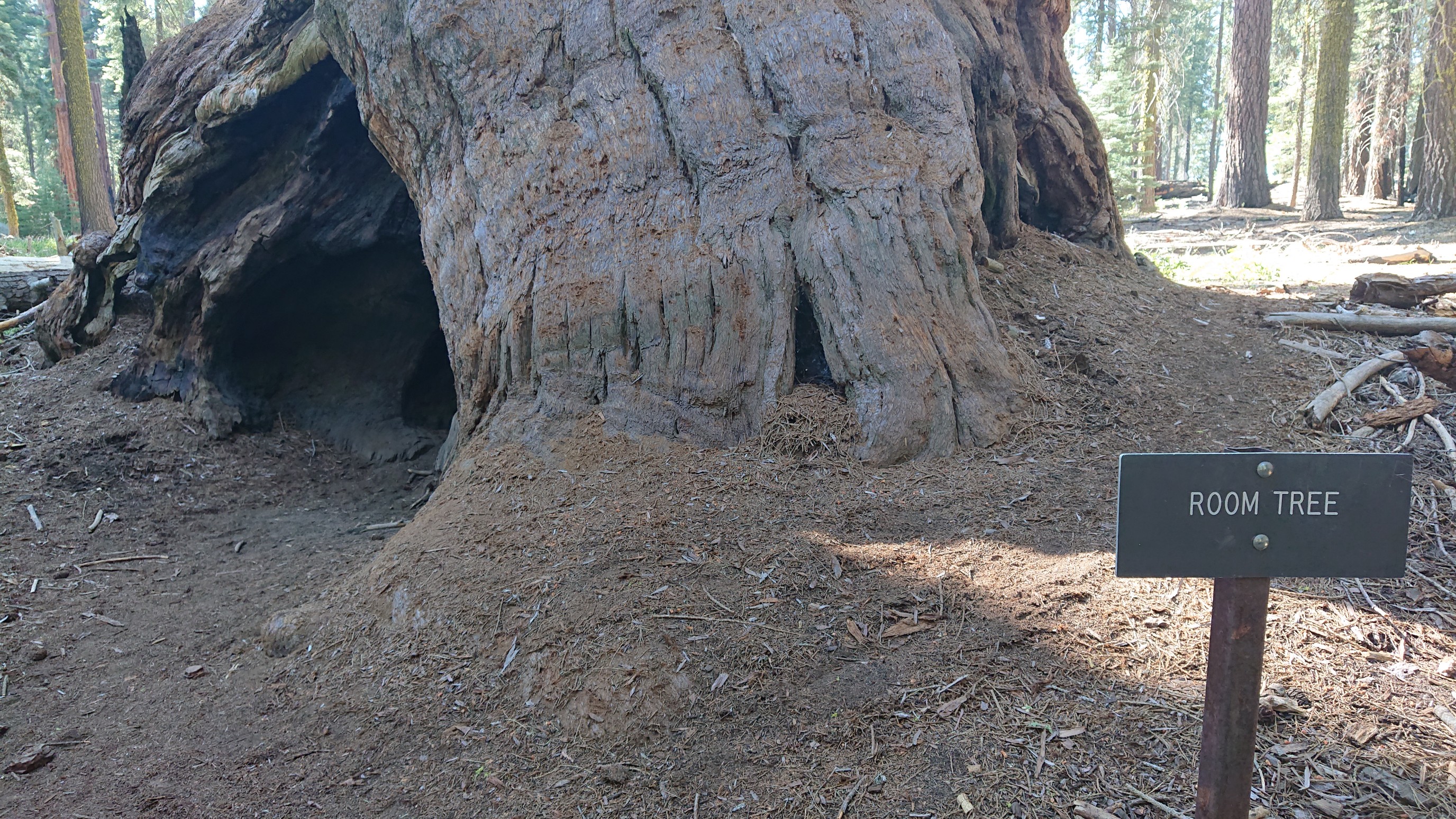
The Room tree. It was surprisingly large inside.
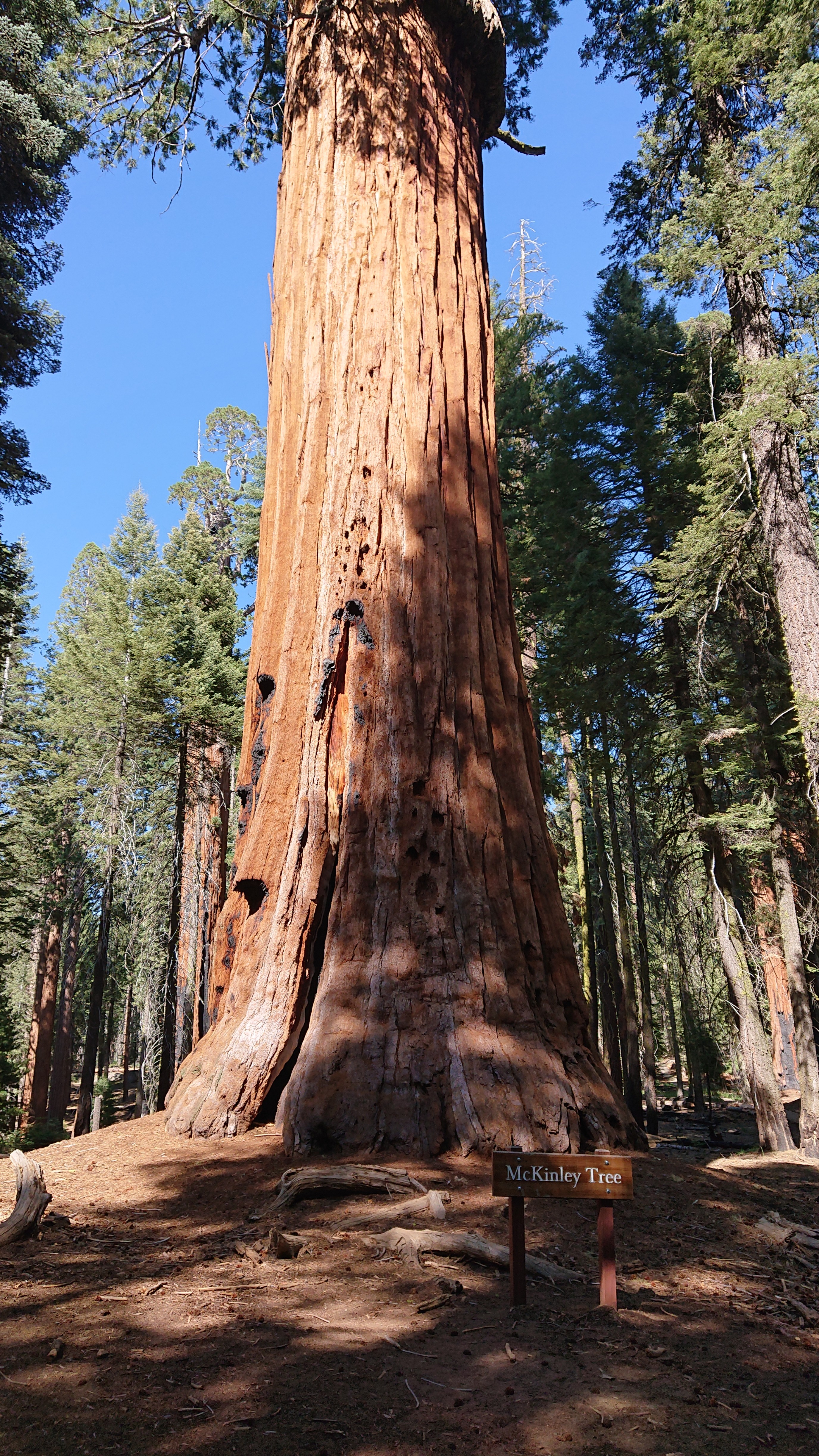
This tree outlived its namesake by a few centuries.
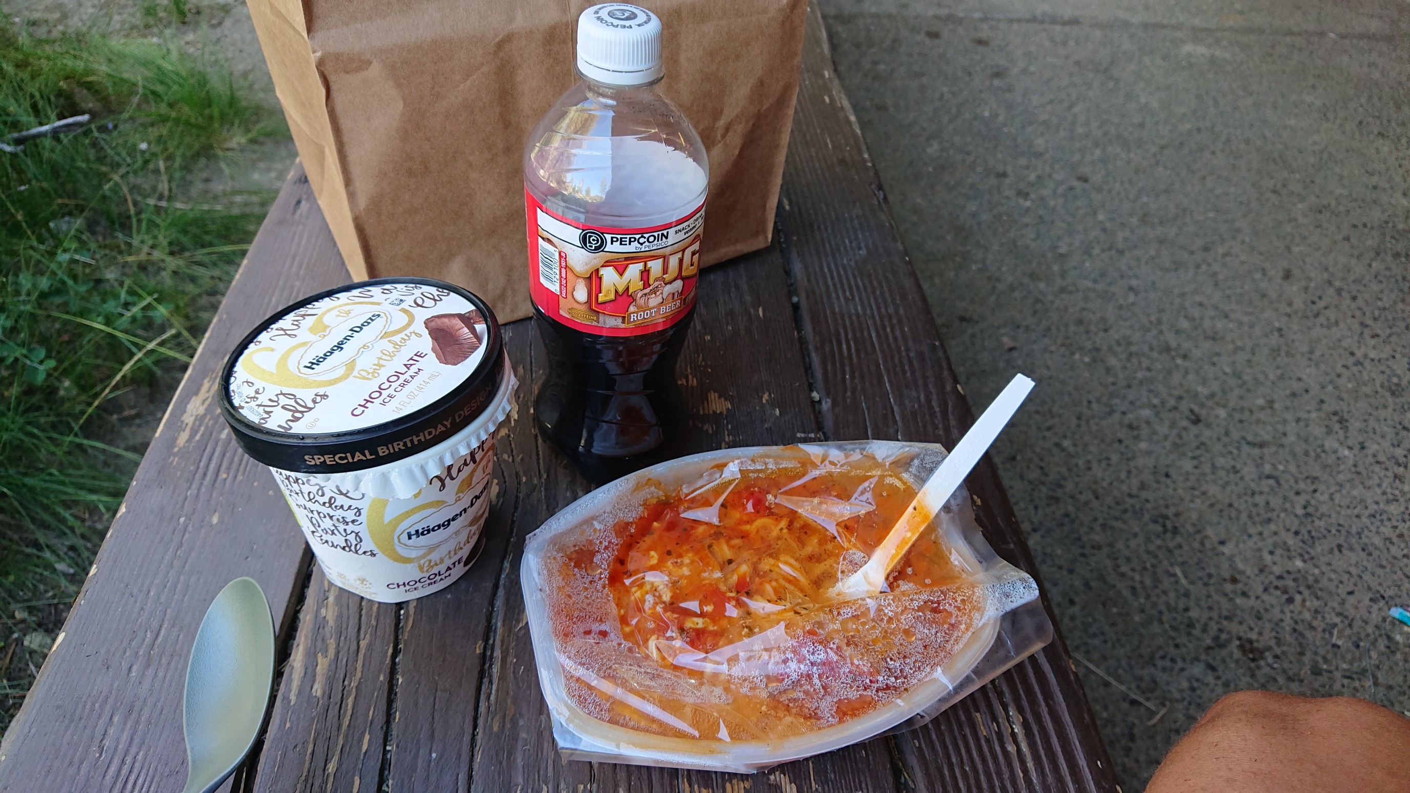
I hiked on another hour to Lodgepole village, a Campground in the park. I grabbed some dinner from the little store.

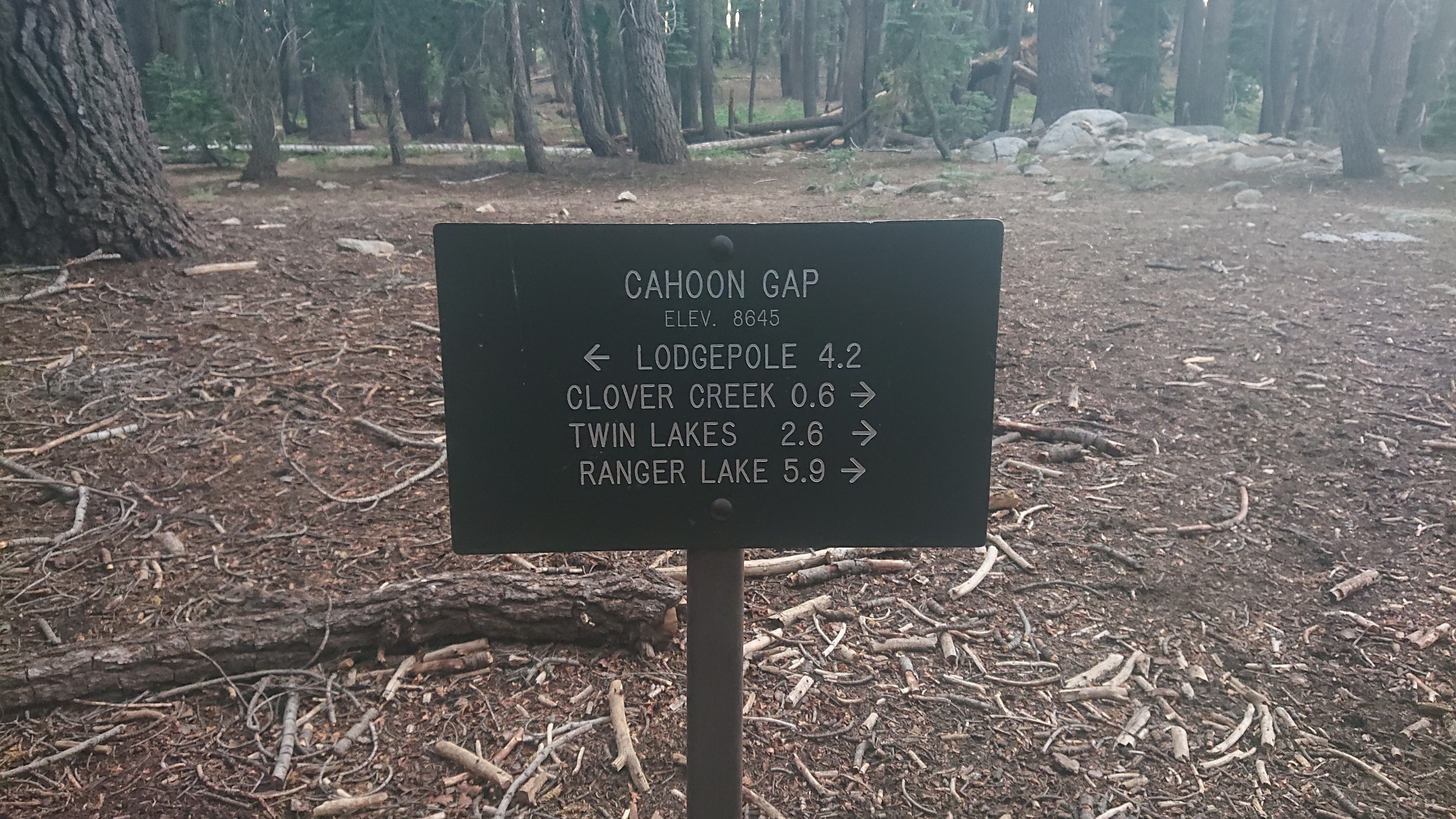
In order to camp legally, I had to leave the developed area. So, I continued northward, taking the Twin Lakes trail to JO pass.
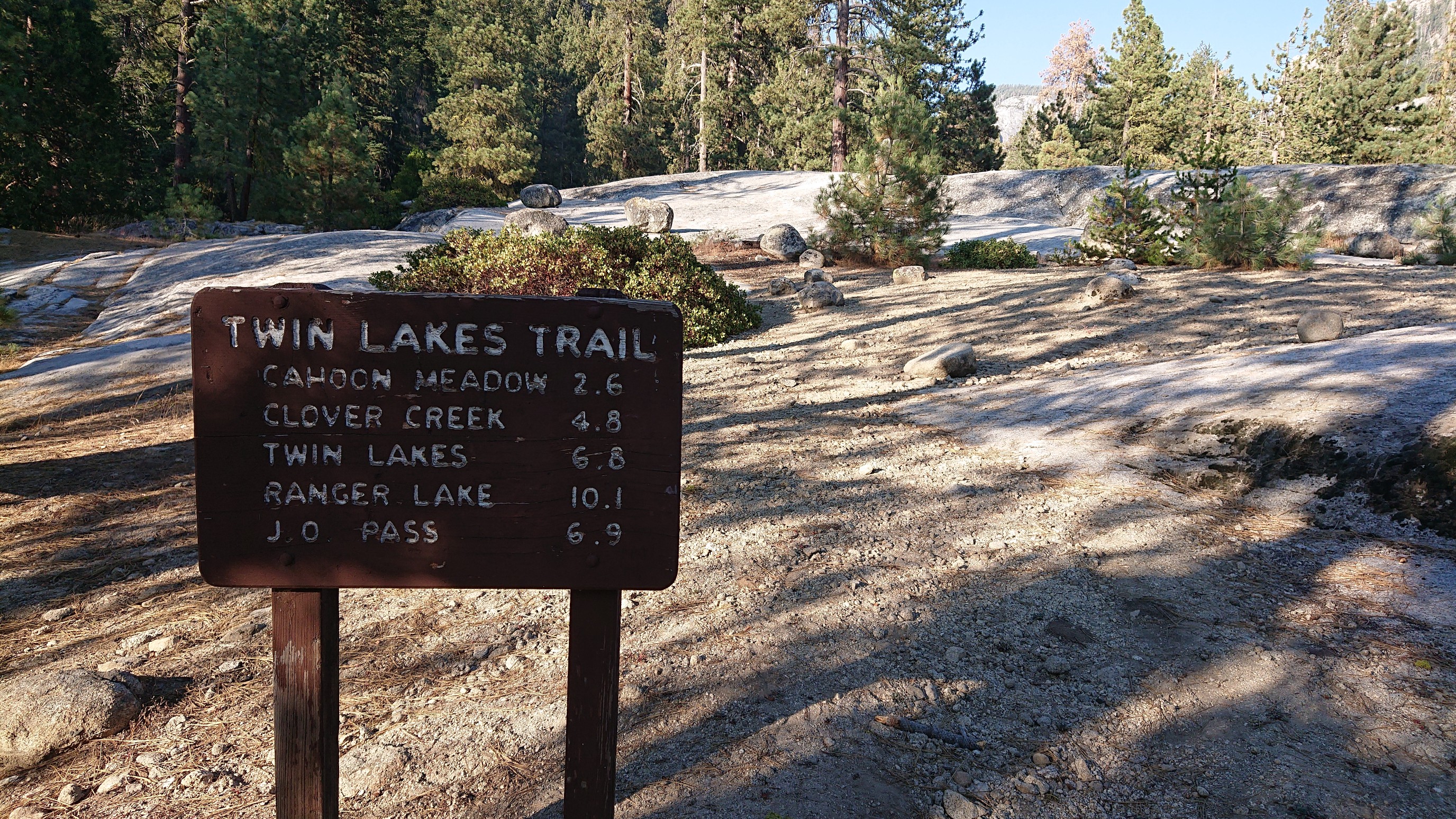
Four miles later, and it was 7pm, I stopped for the night at Cahoon Gap.
Tomorrow I’ll have a morning of hiking then I’ll be back at my car!