Thursday September 24, 16.6mi/26.7km
Brandon Gap/Hwy 17 (125.3/2175ft) to Emily Proctor Shelter (141.9/3445ft) (VT)
I drove the final 2 hours, crossing into Vermont after an hour.
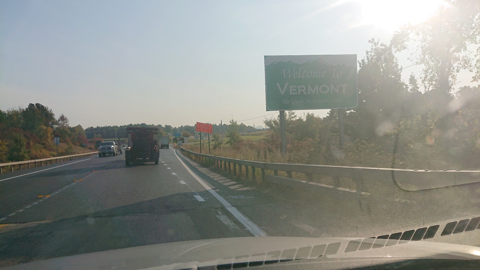
I did some quick food shopping, and arrived at the trailhead at 10am. I was already packed, so off I went!
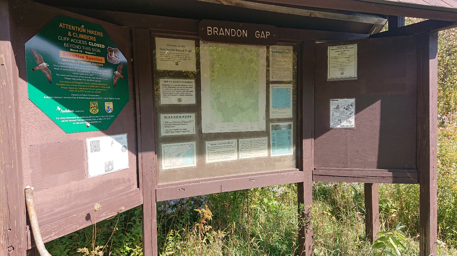
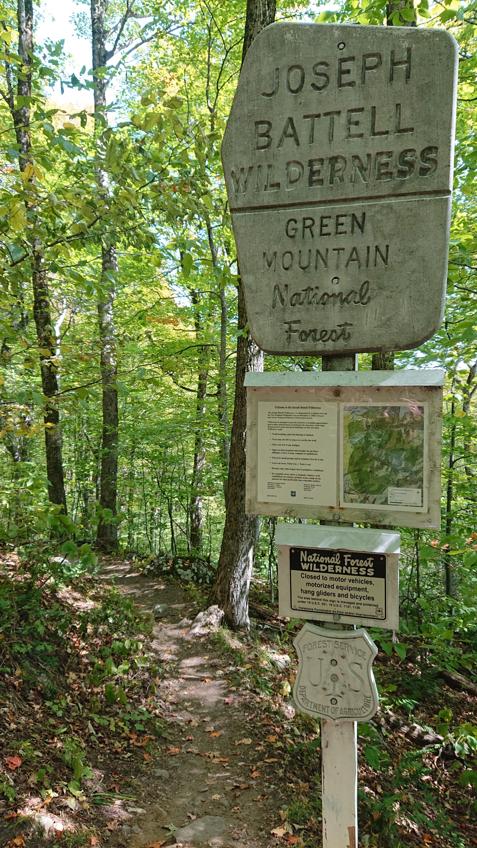
I immediately entered the Battell wilderness. I love getting photos of these signs, and it shows that the congress occasionally does the right thing. 🙂
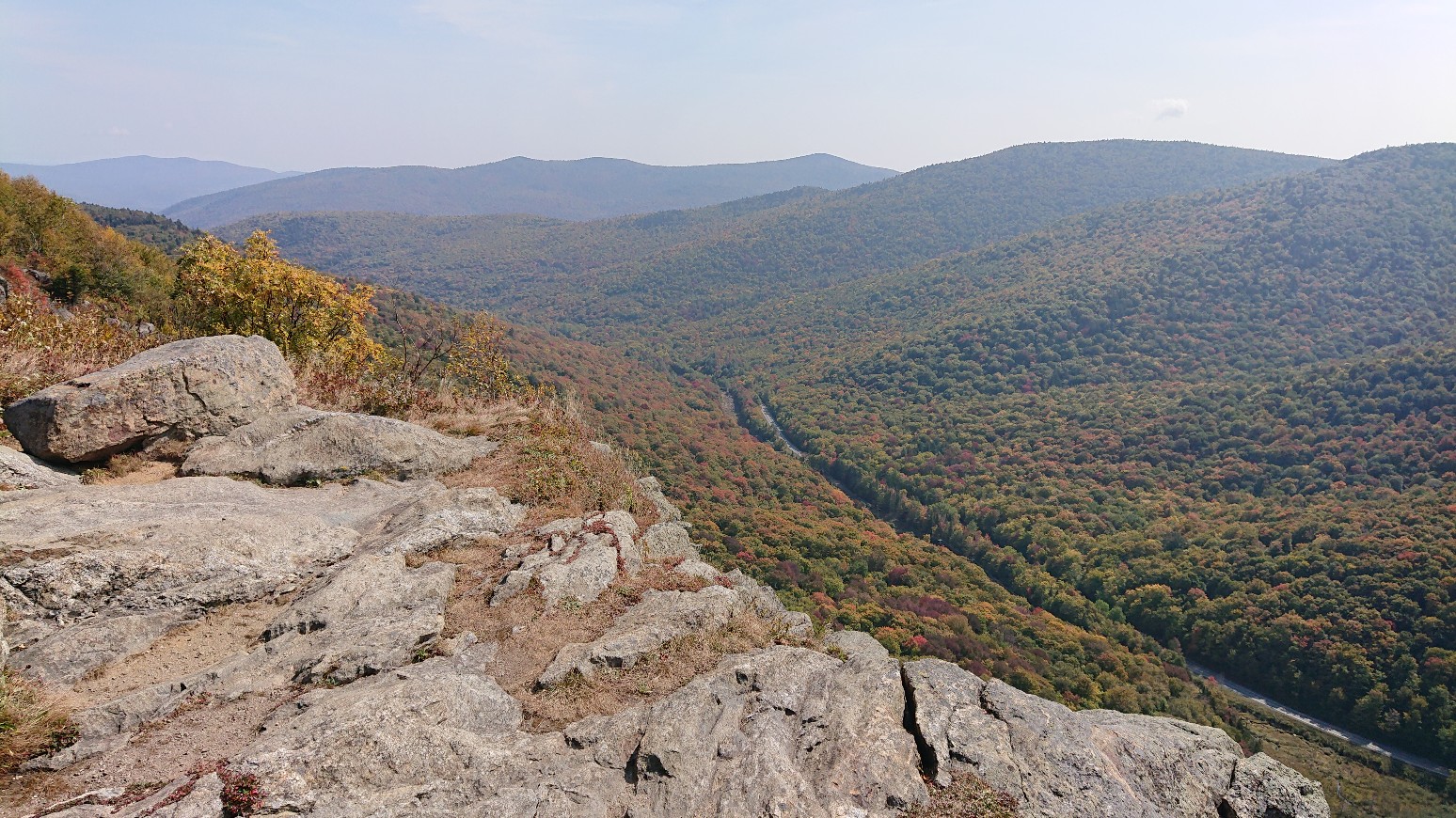
After a mile, I had climbed 500 feet, and was on top of the cliffs on Mt Horrid. It was a splendid view.

The trail weaved around ridgetops all afternoon, and it was a nice mossy & bouldery forest.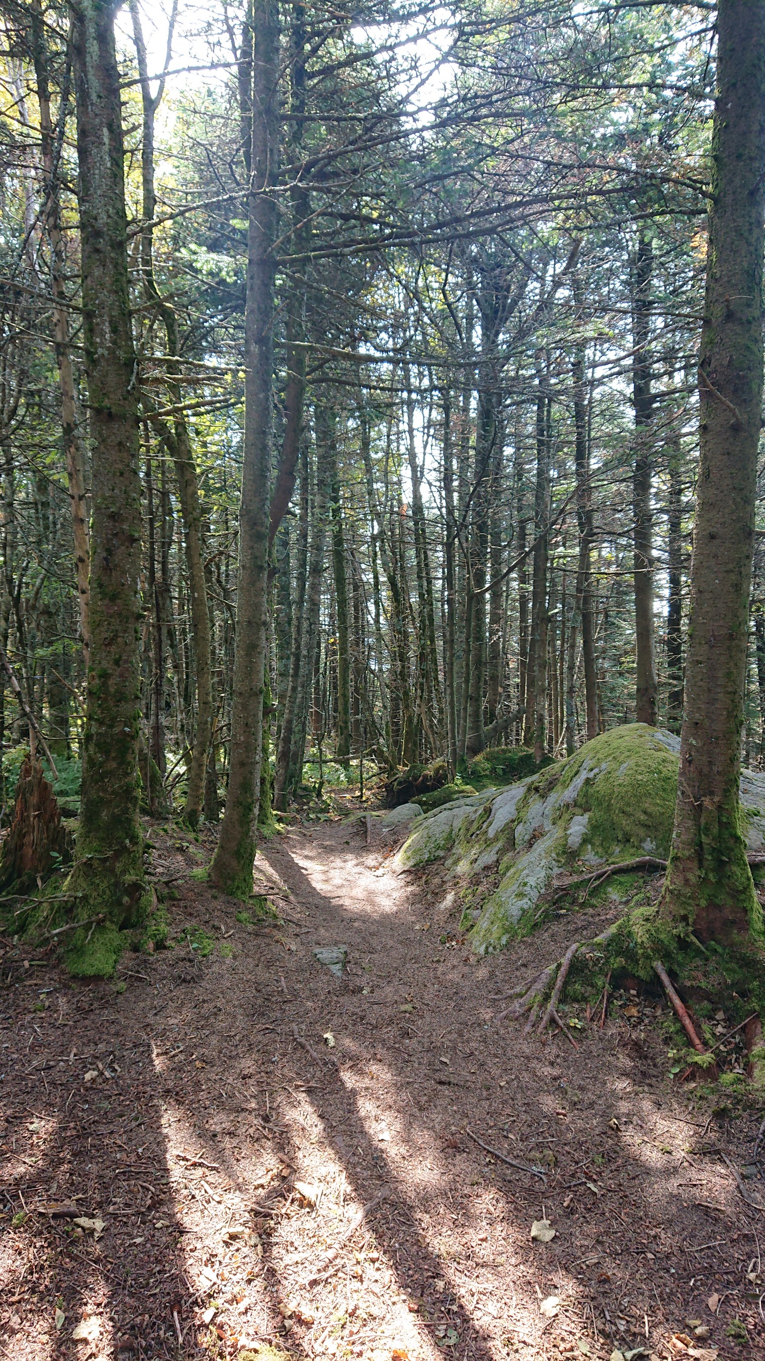
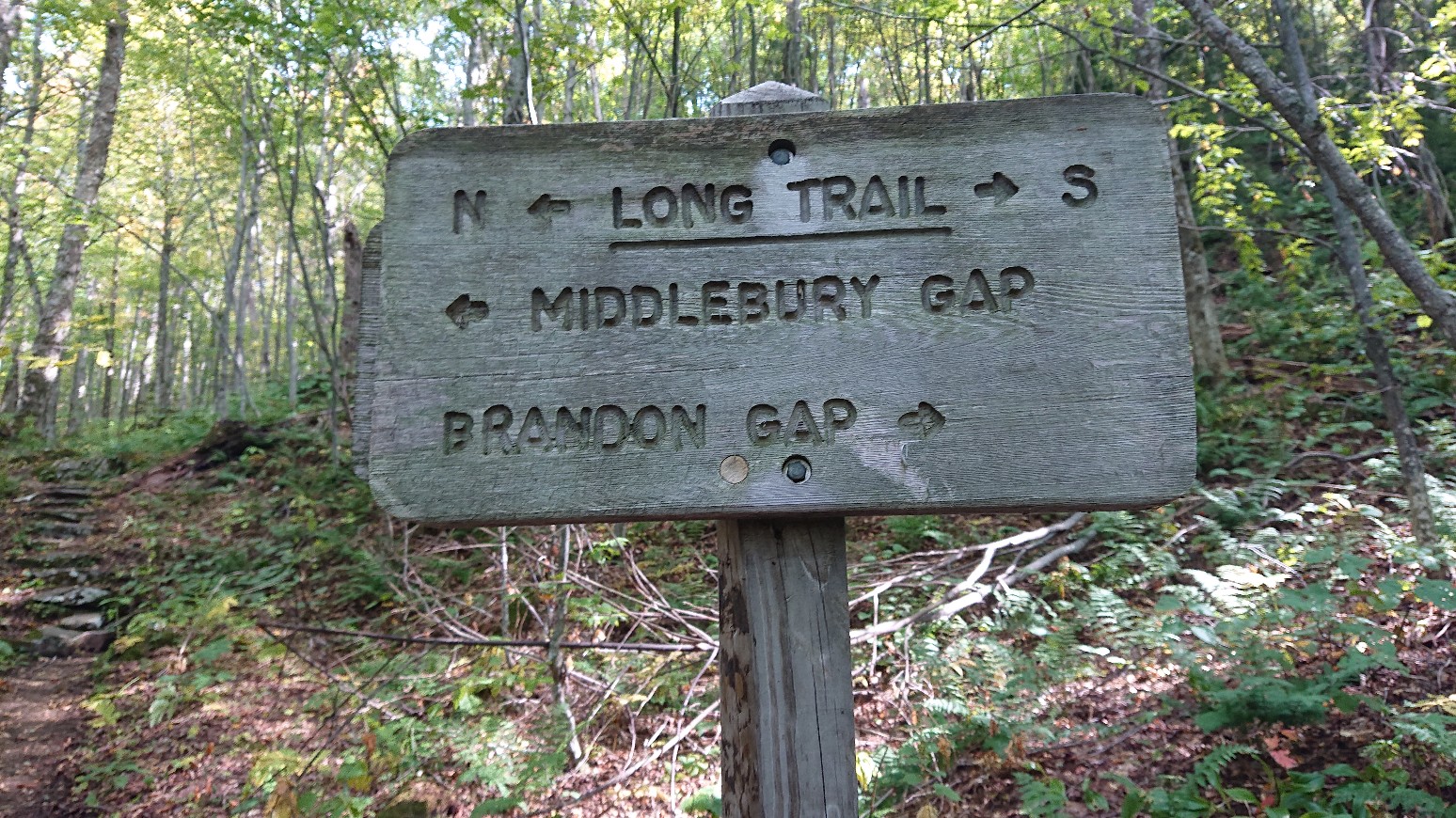
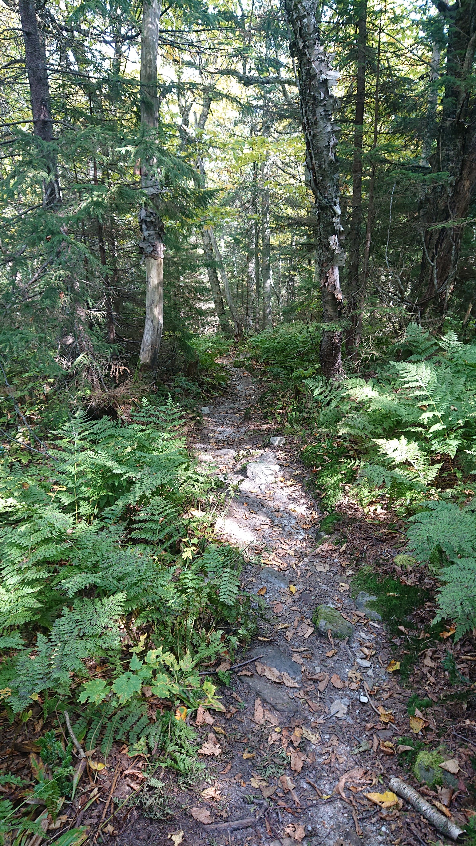 There was a random trail sign, not at a Junction. Onward to Middlebury gap!
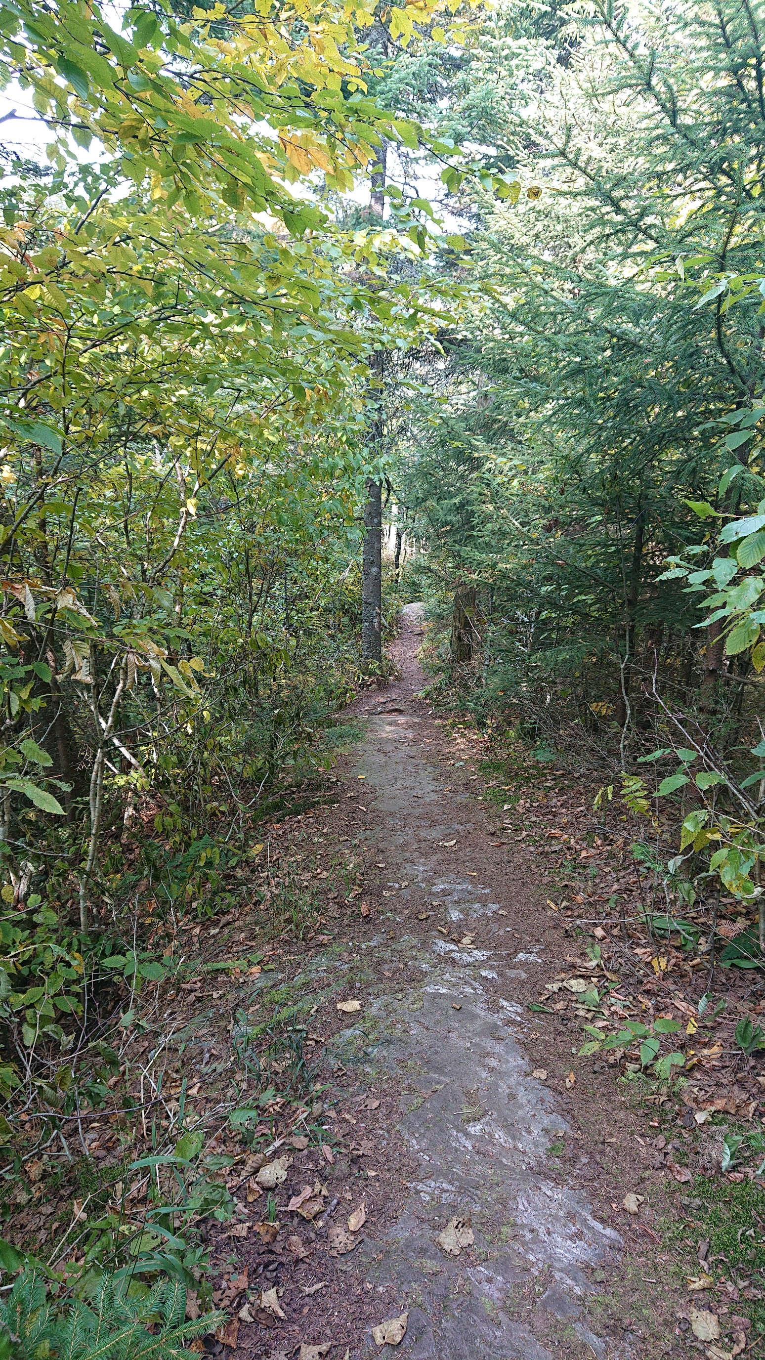
The descent towards the Gap was gentle, but also a massive rock slab.
I passed by Middlebury college’s Snow Bowl, and I checked out the ski infrastructure.
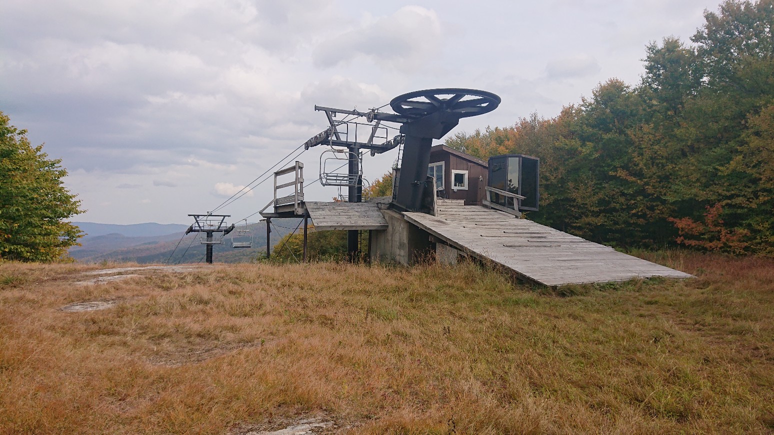
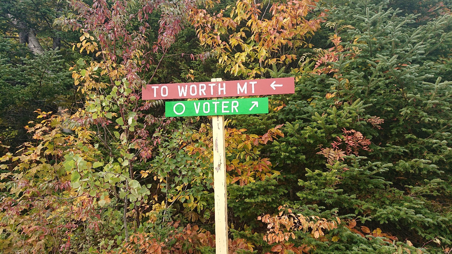
There were some expansive views from the ski trail cuts, and it looked like a storm cloud was moving in.
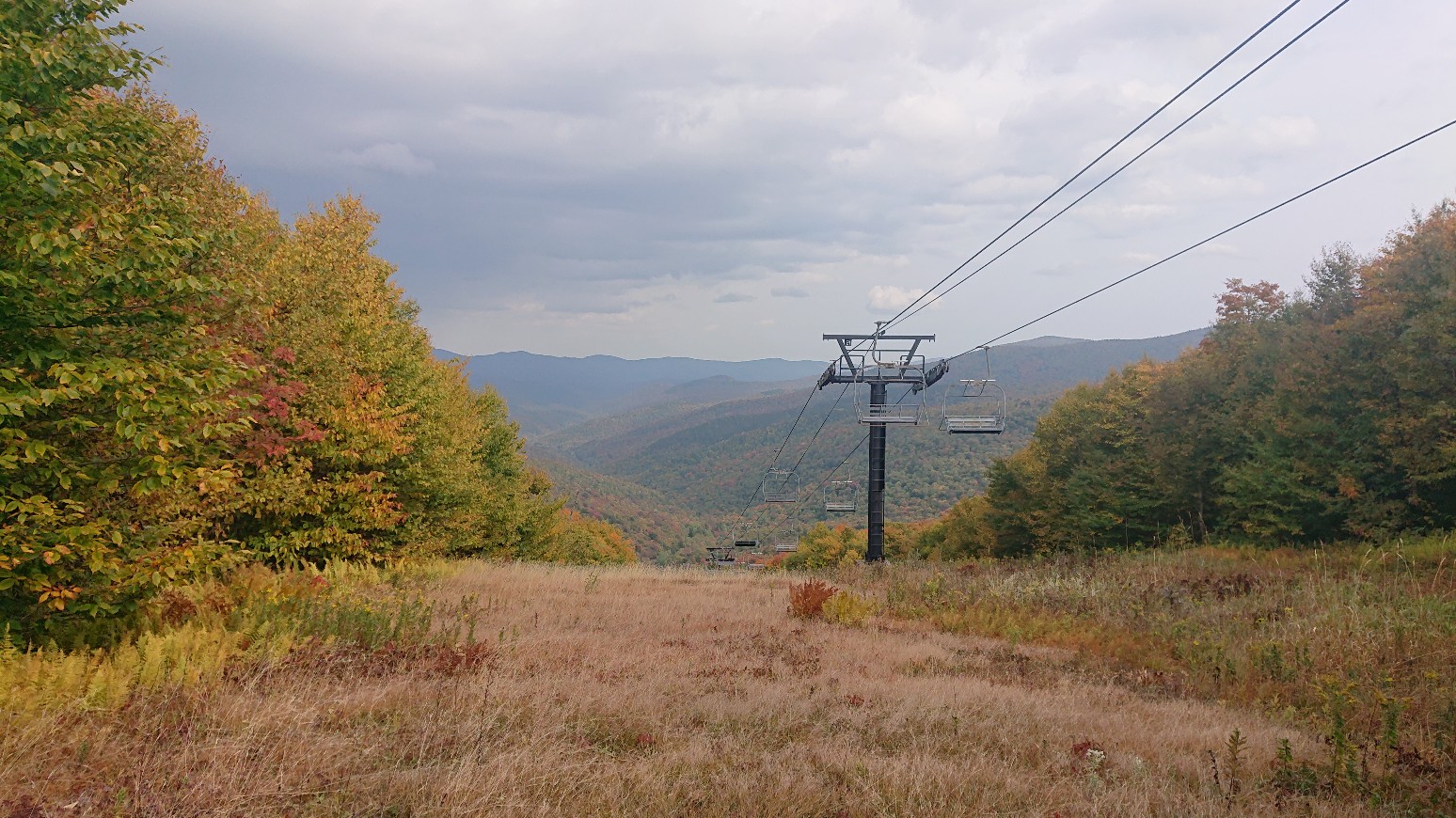
Yup, definitely moving in.
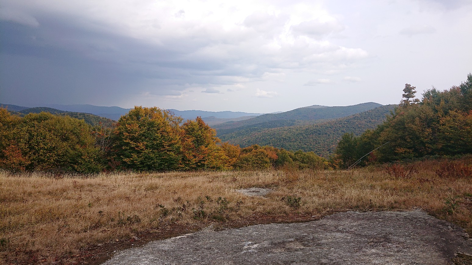
I descended to Middlebury Gap, and re-entered the woods after crossing the deserted road.
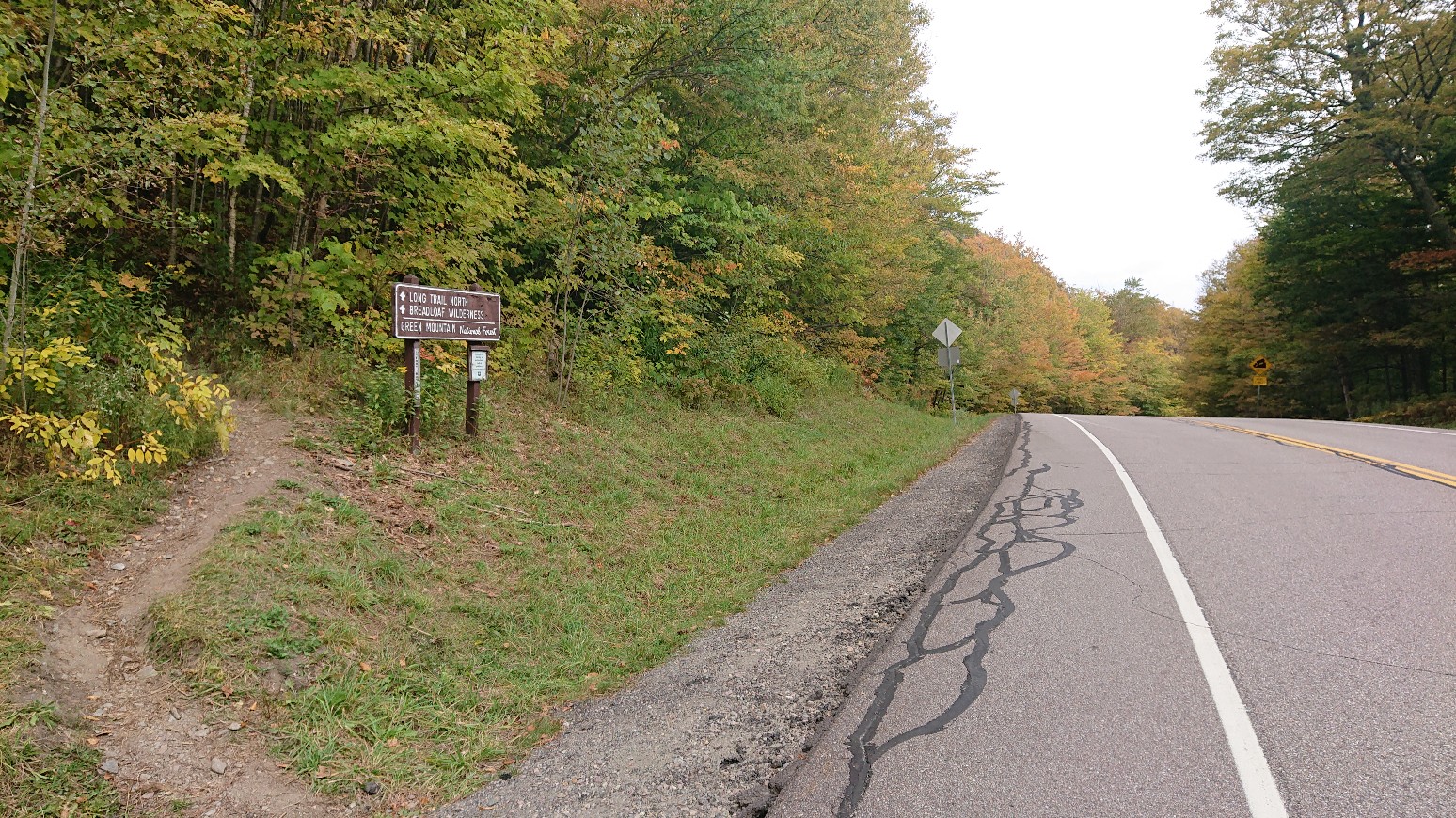
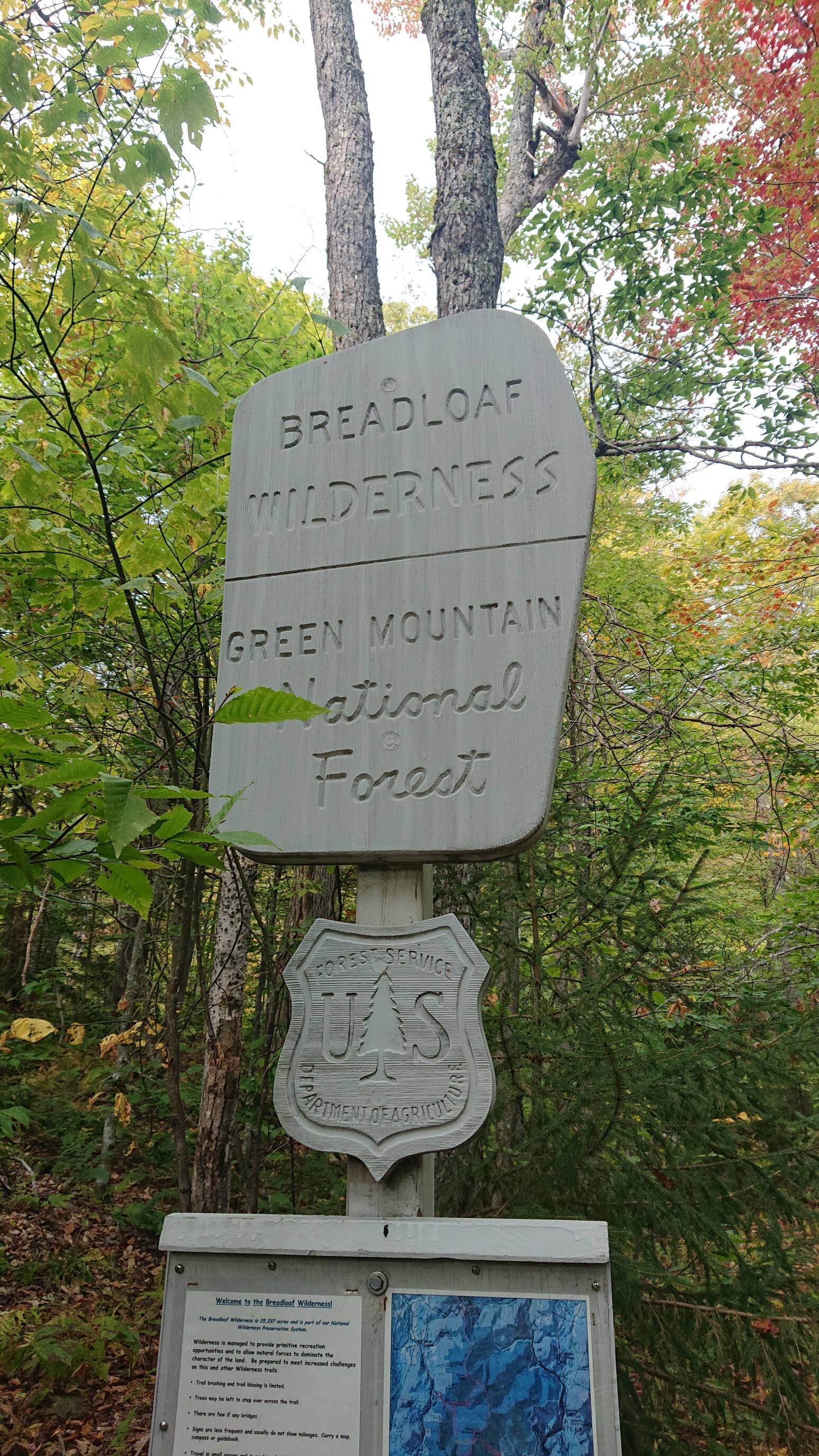
I immediately entered a new wilderness! Mmmm… breadloaf.
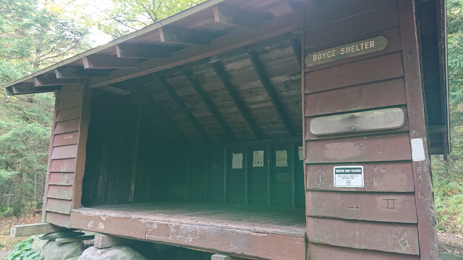
I climbed up out of the Gap/Pass, and I was getting hungry so I stopped for a snack at an empty shelter.
I ate a ton of goldfish, gummy bears, and animal crackers. It was an accidental theme! I moved on, hiking to the next shelter to get water. Most water sources have dried up in this parched September. I talked to some ladies at the shelter, filled up with beaver water from the pond, and hiked on into the setting sun.
I arrived at the next shelter only 45 minutes later, and I found a spot to camp nearby. The group of 4 guys already in the shelter were strange. They saw me coming, turned off their headlamps, and pretended they were sleeping. I wasn’t going to ask to join them in the shelter anyway, but it seemed rude. Oh well, I had a nice dinner of bacon mac and cheese and went to bed early.