Saturday September 26, 19.2mi/30.9km
Cowles Cove Shelter (169.0/2516ft) to Stimson Ridge (188.2/1896ft) (VT)
I was awake at 5:40am, and hiking at 6am, it was still dark when I left the shelter.
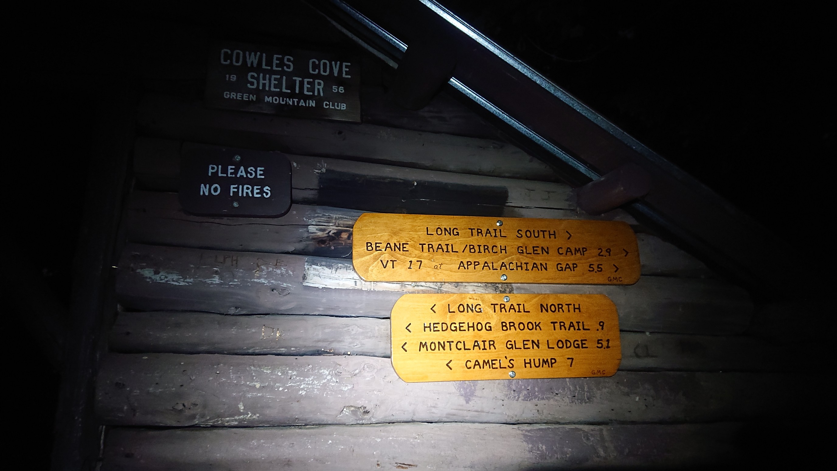
I hiked by headlamp for 30 minutes, then as I climbed up out of the trees it got lighter.
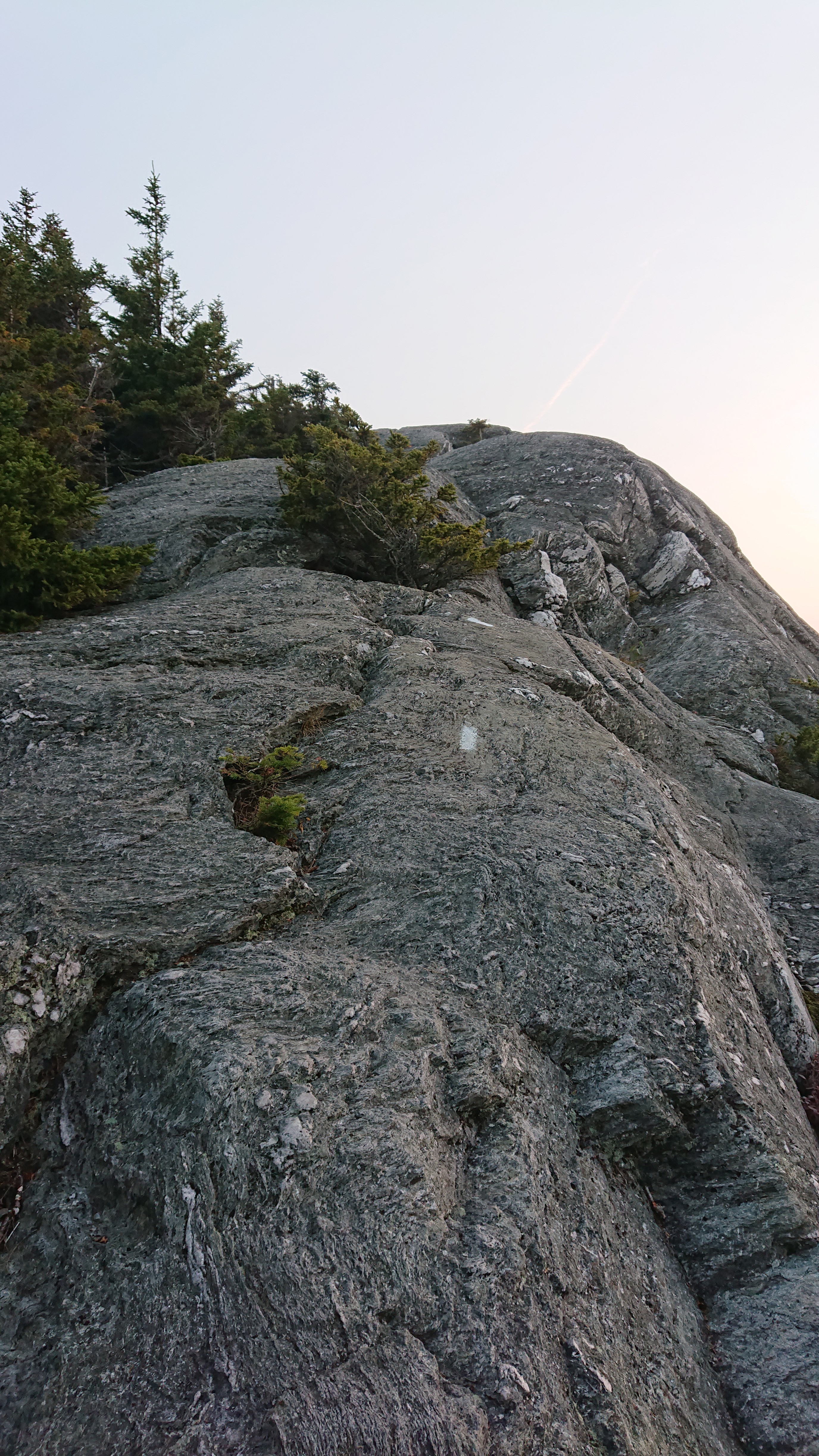
By the time I reached the summit of Burnt Rock mountain, it was sunrise.
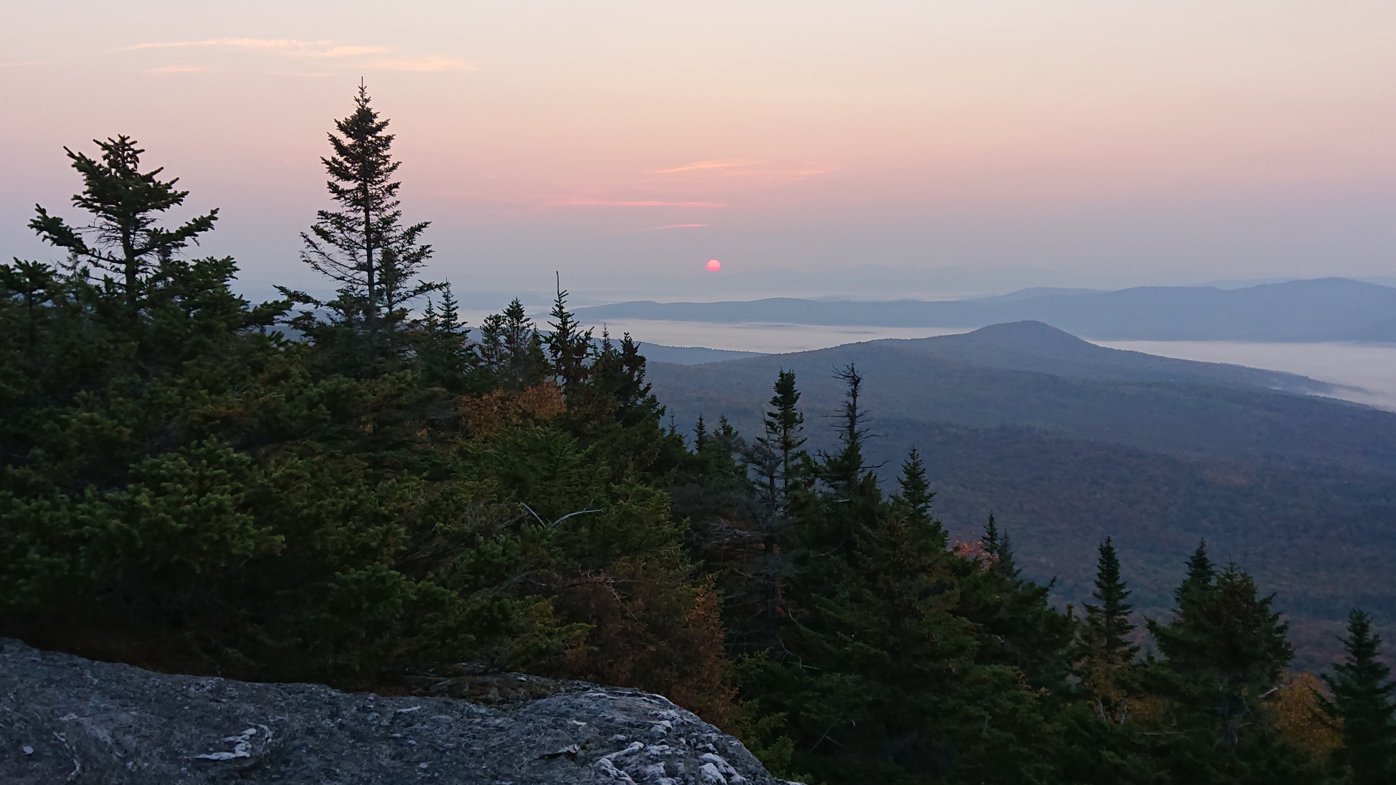
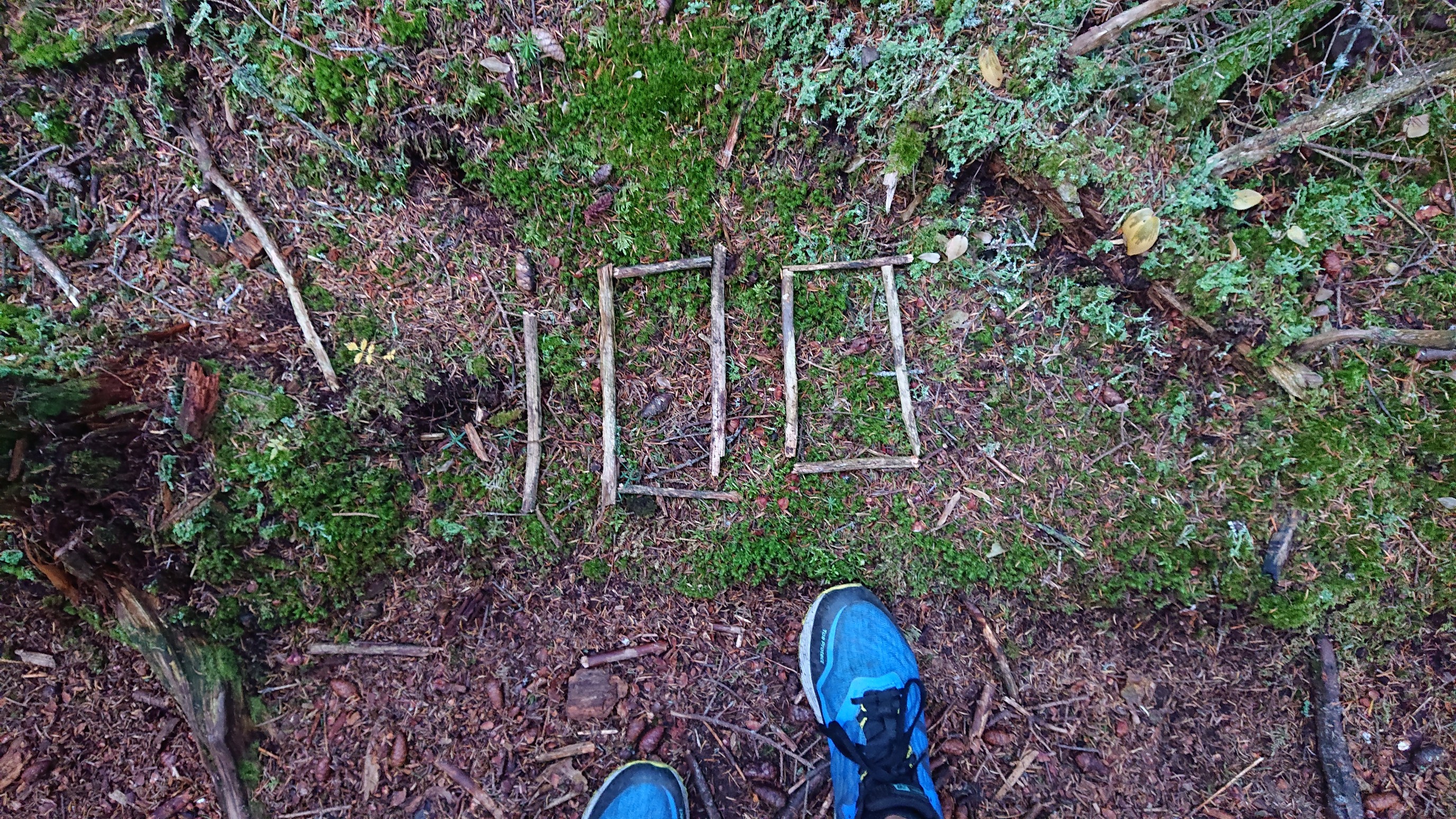
It was a slippery rocky trail, but I descended with caution back down into the trees. Someone had left a 100 marker, presumably I am 100 miles from Canada.
The trail in the trees was nice, and very piney smelling.
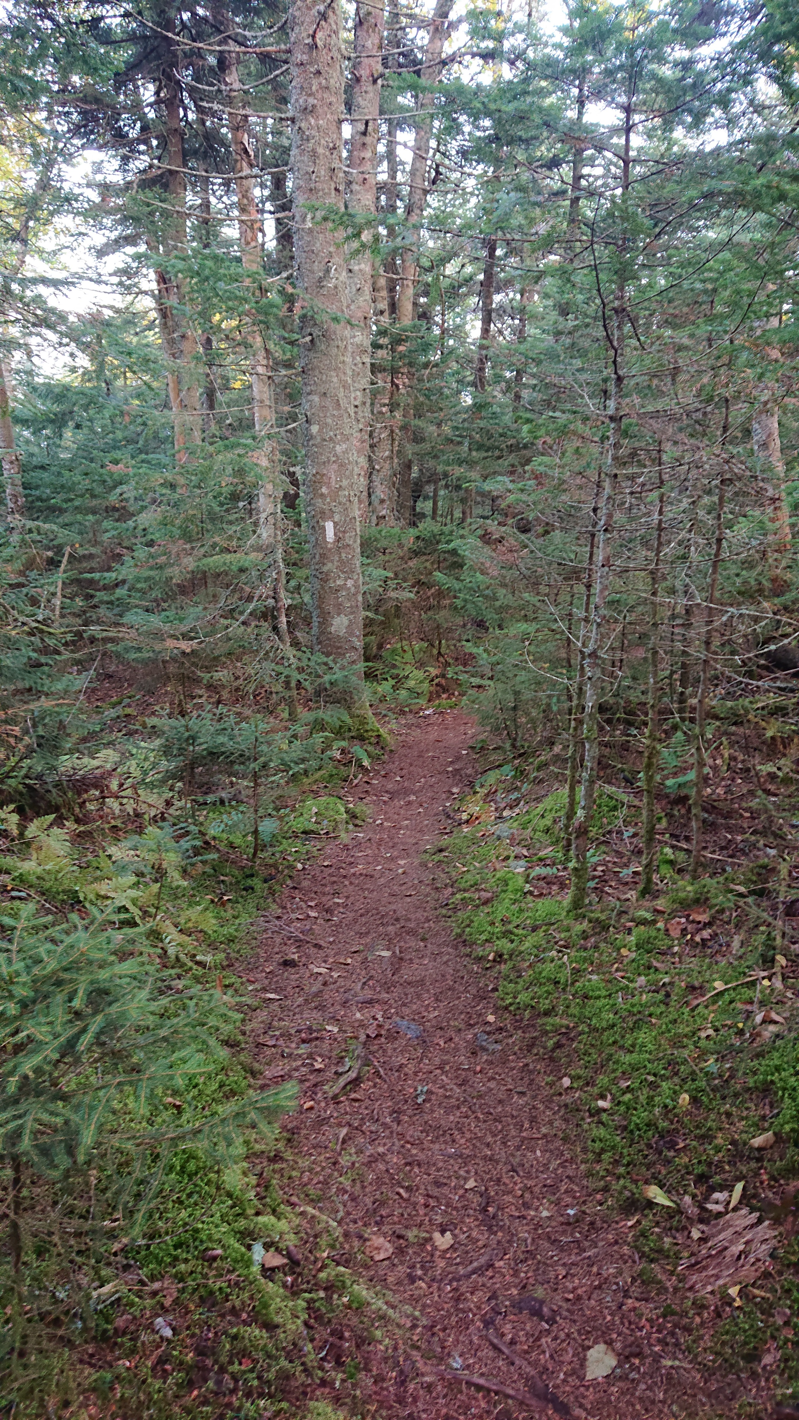
All of a sudden, I came to a deep ravine. The only way to climb in/out was by ladder, hence the name “ladder ravine”.
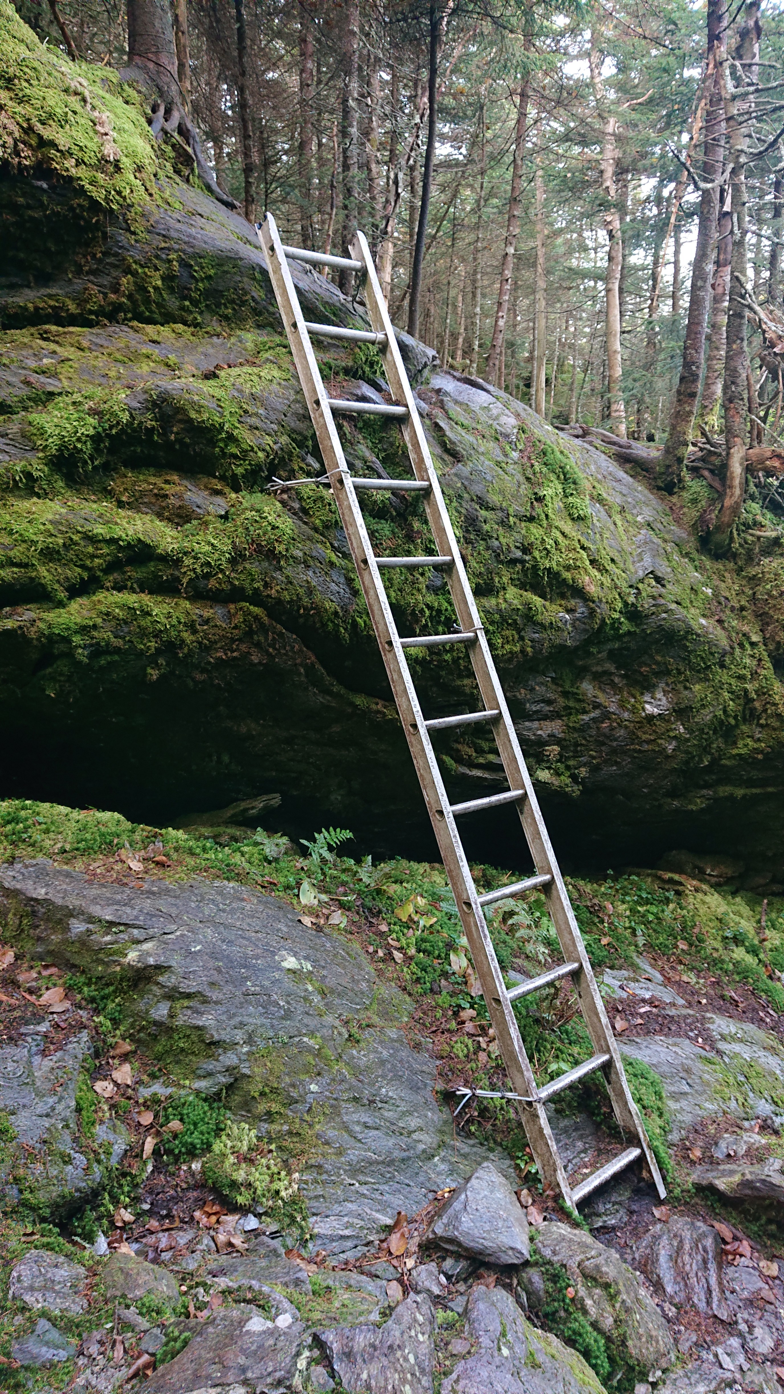
I hiked on up the hill and a mile later I was on the summit of Mt Ethan Allen.
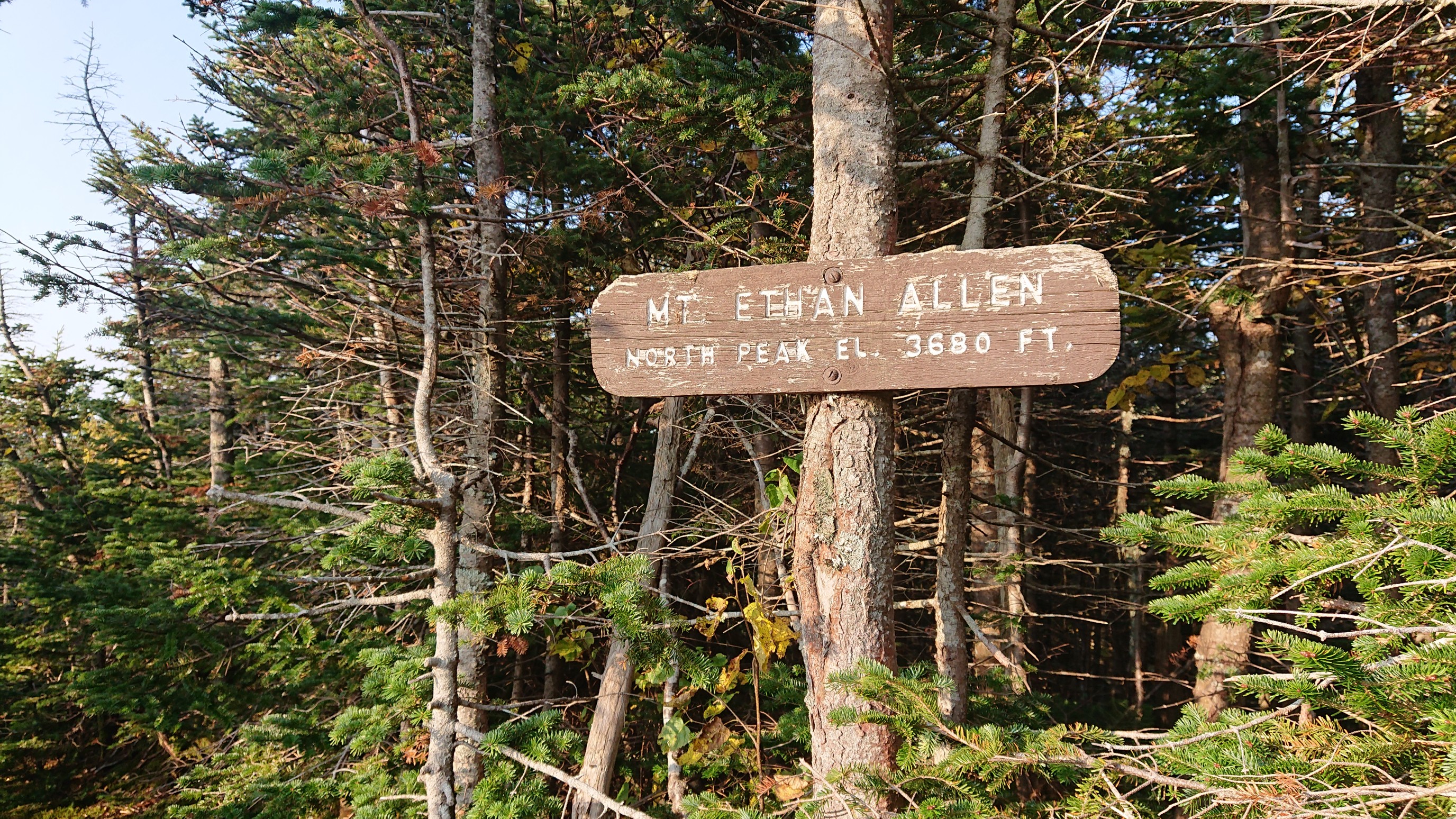
There was a small iron rod on the actual summit.
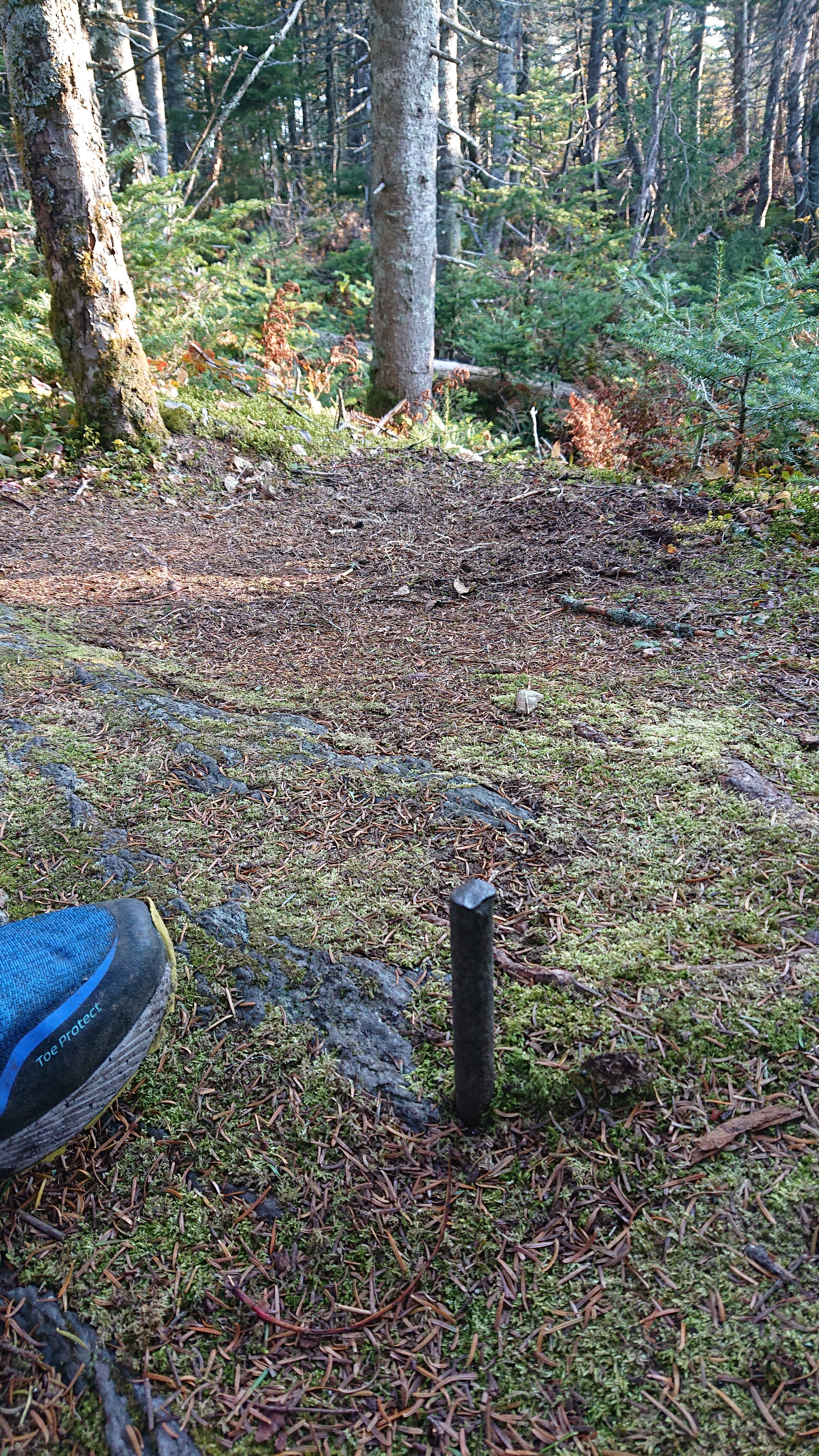
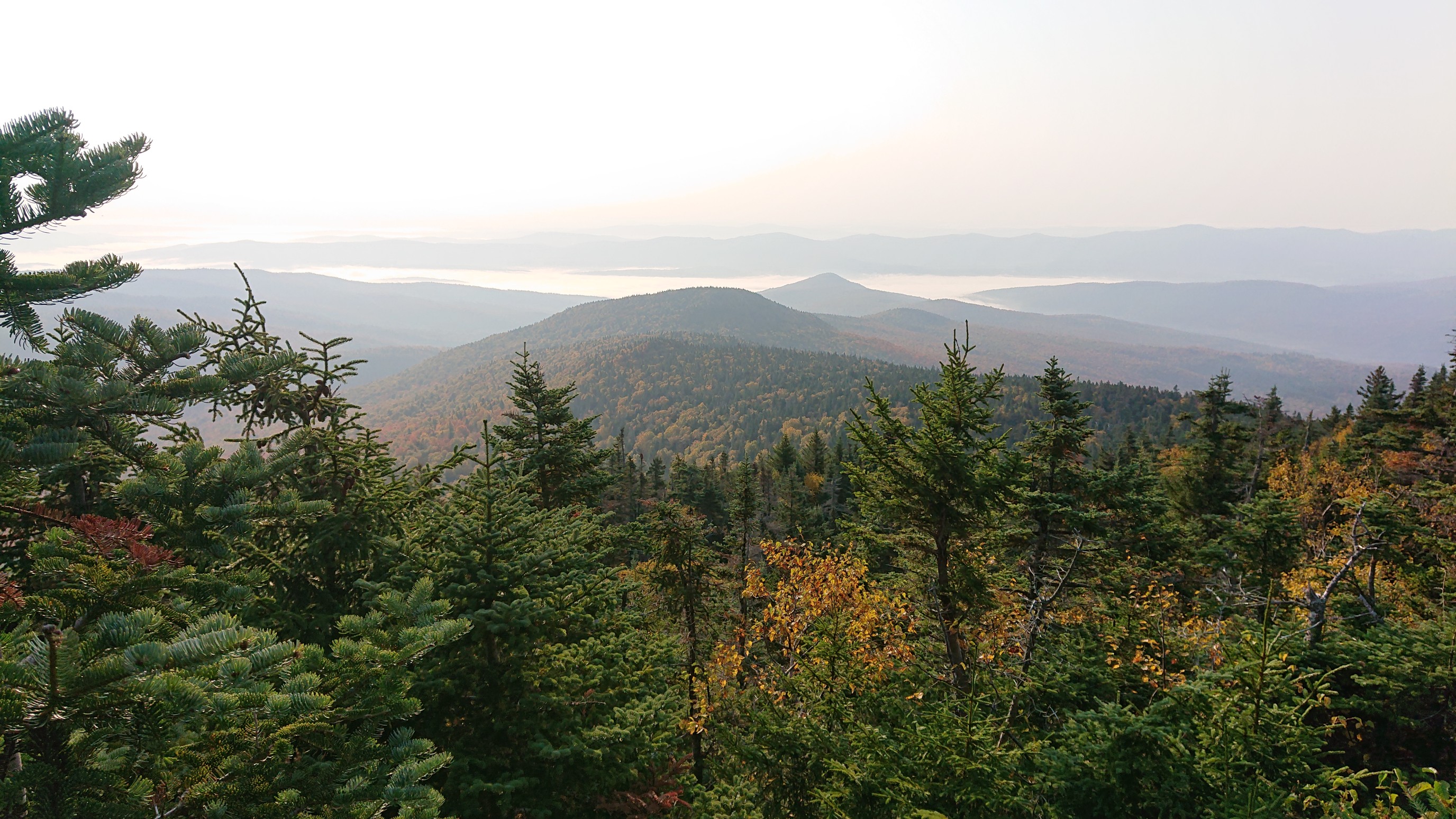
And a nice view to give reason to stop and take a snack break.
I quickly descended the peak, arriving at the bottom at a shelter. It was even a 4-sided shelter!
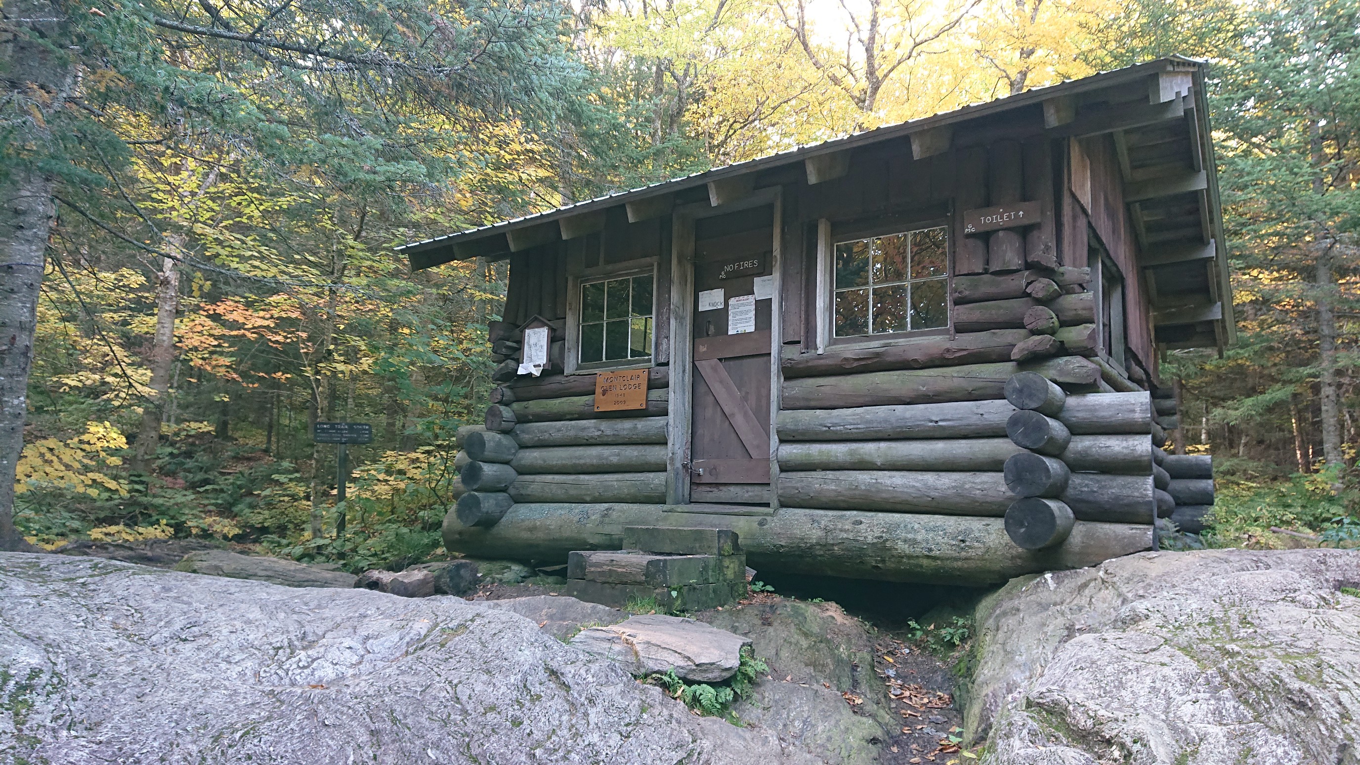
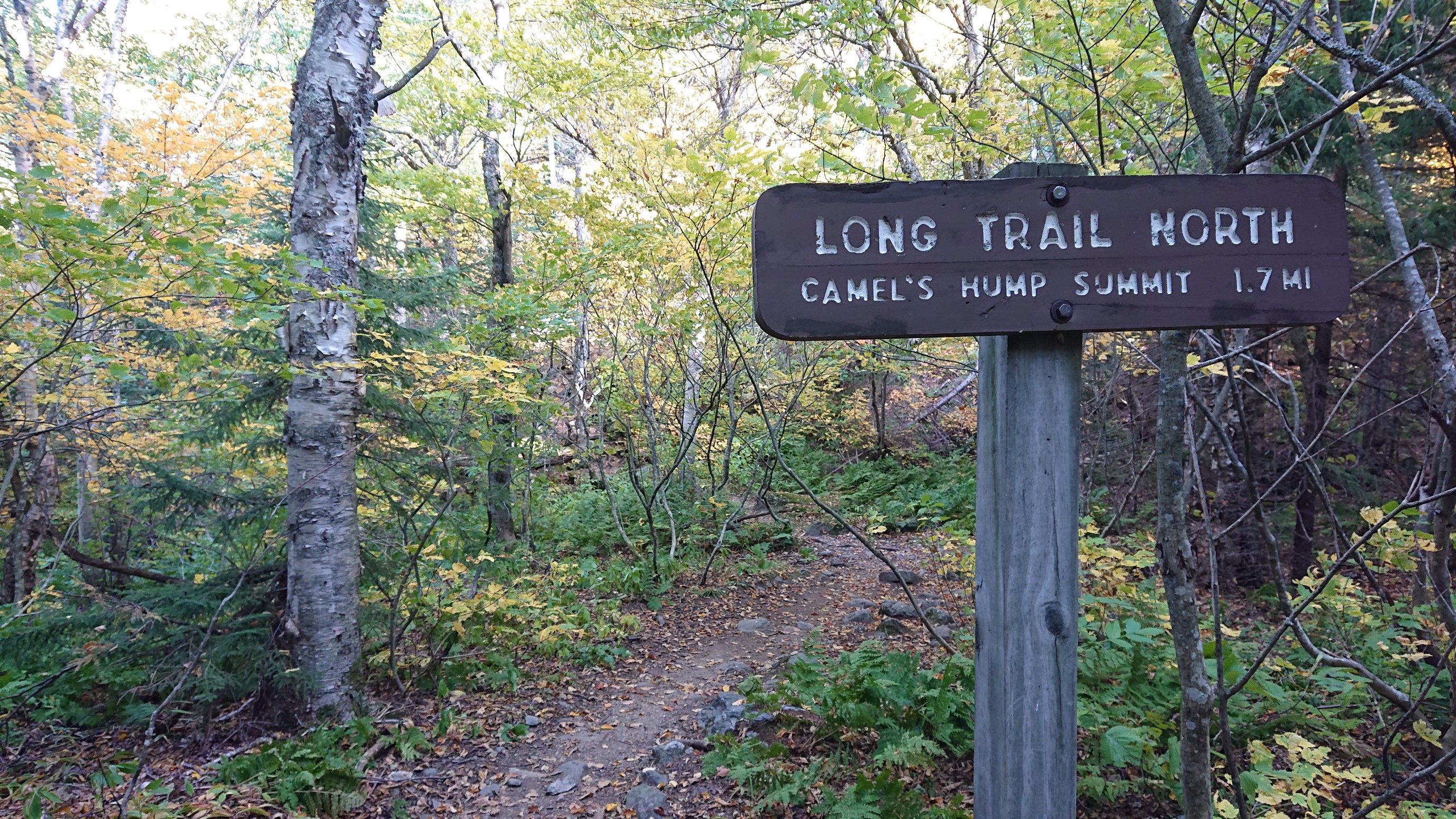
I refilled my water at the nearby creek and hiked on, trying to make good time. Only 1.7mi to the summit of Camel’s Hump!
The climb up “the hump” was steep at times, I used hands and feet.
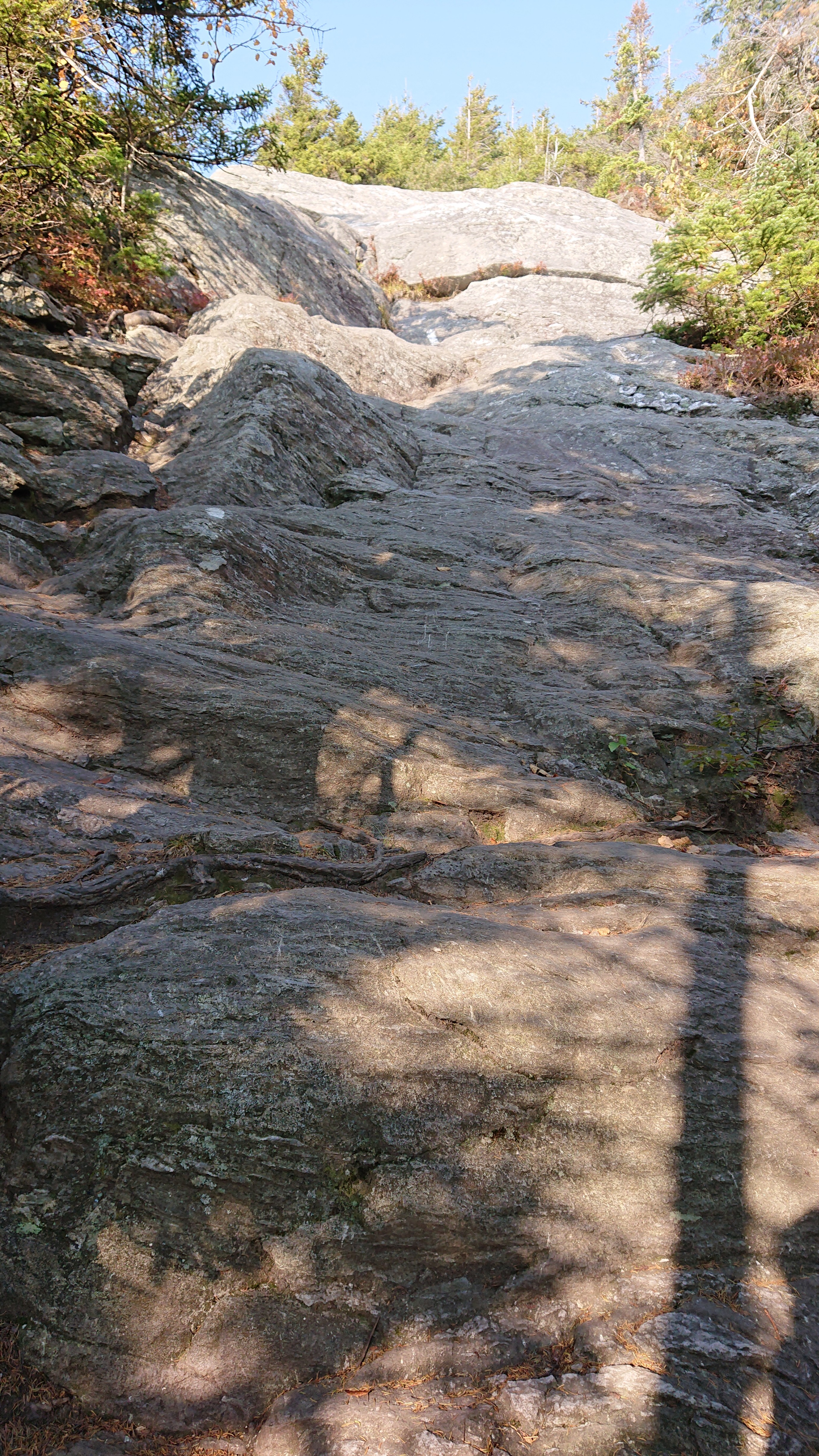
I could see why it’s called Camel’s Hump.
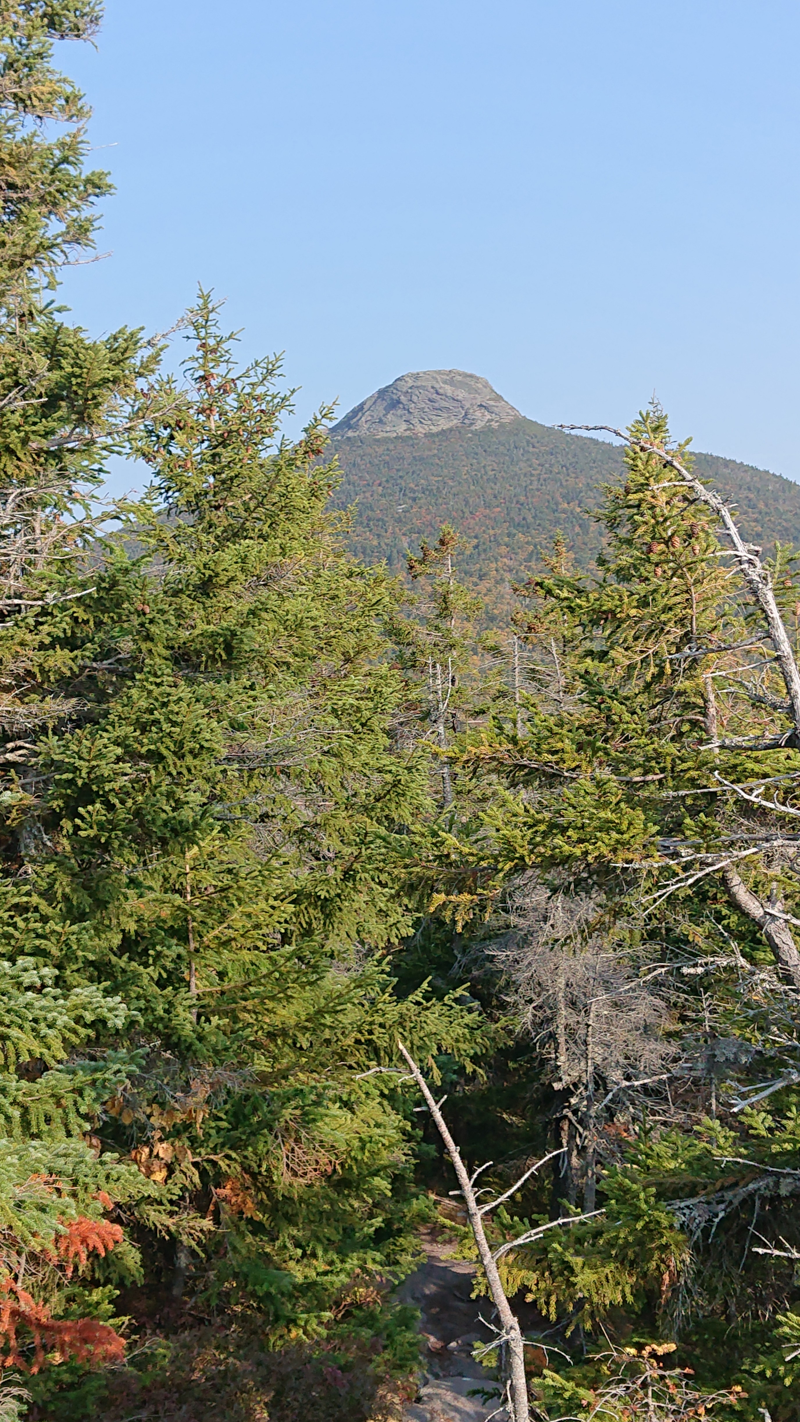
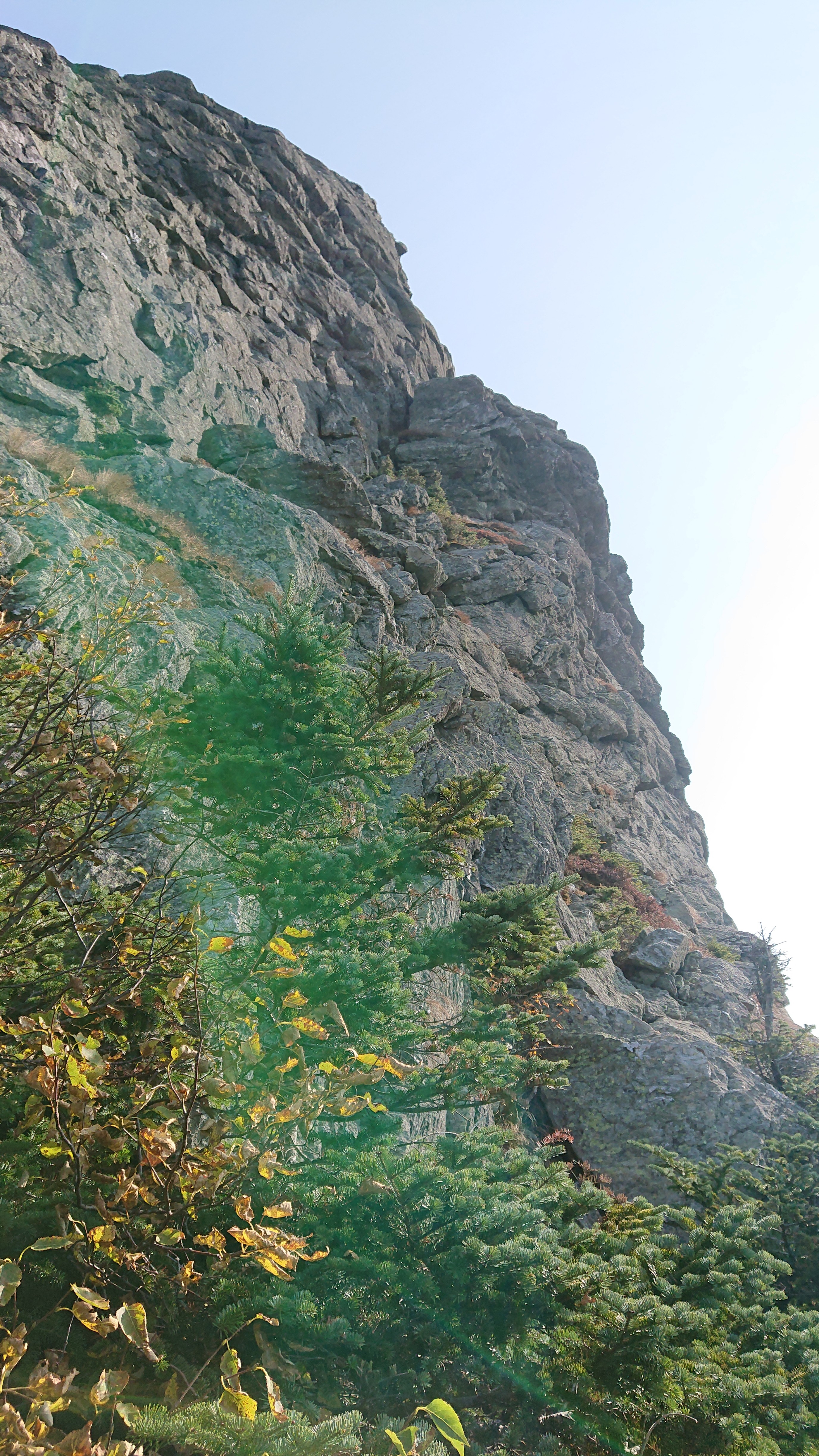
The last part was so steep, the trail switchbacked around the cliff.
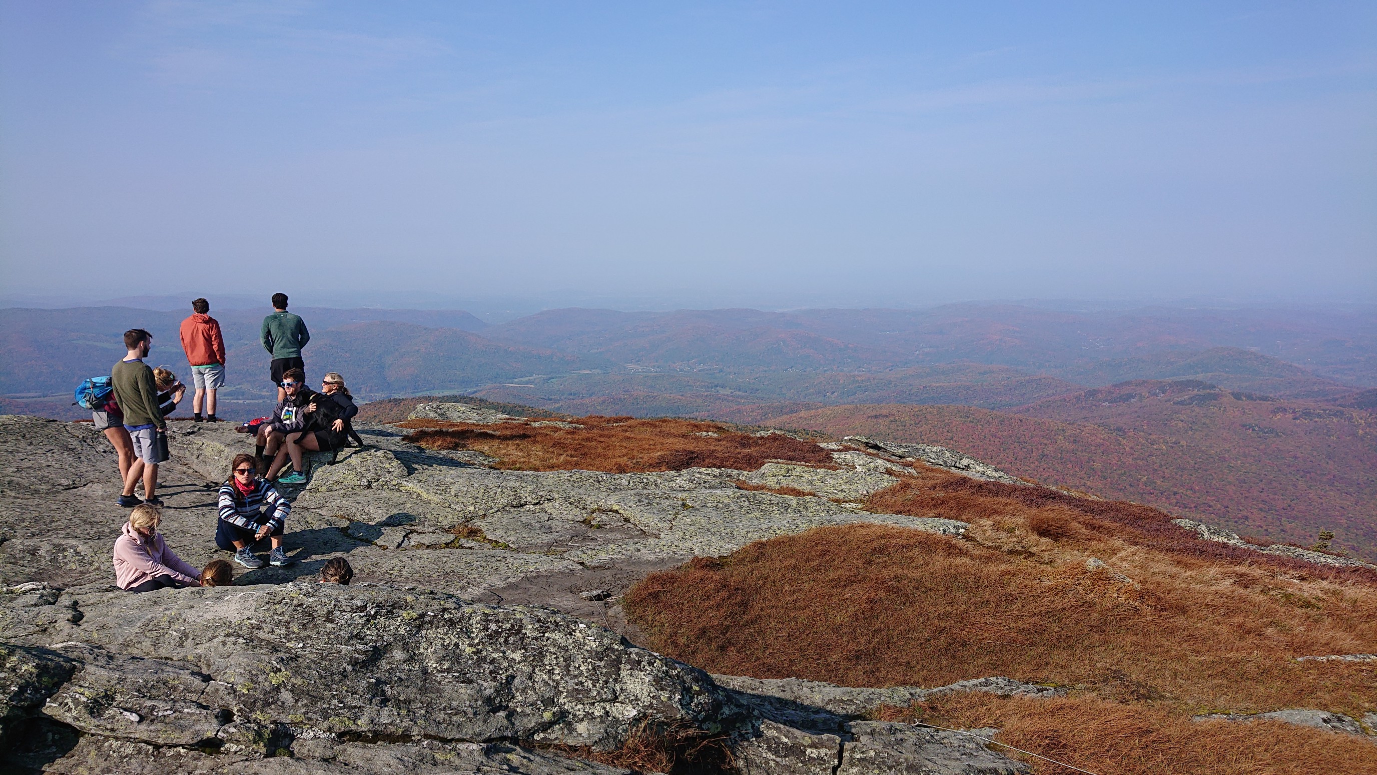
The summit was quite crowded, and I only lingered a minute.
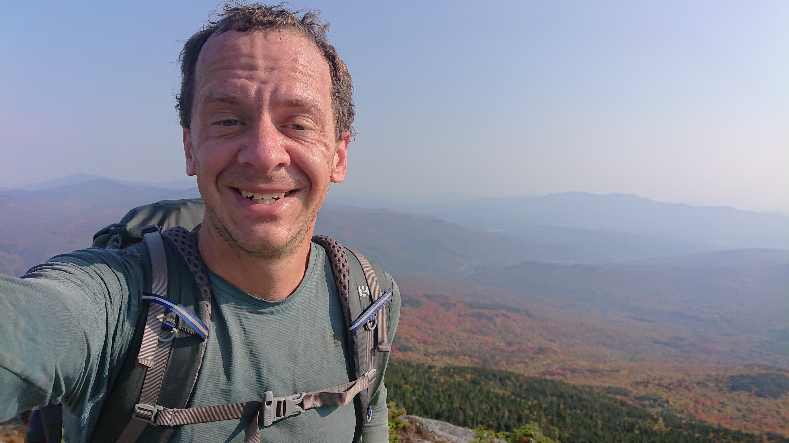
The requisite summit selfie.
The view to the north was quite colorful.
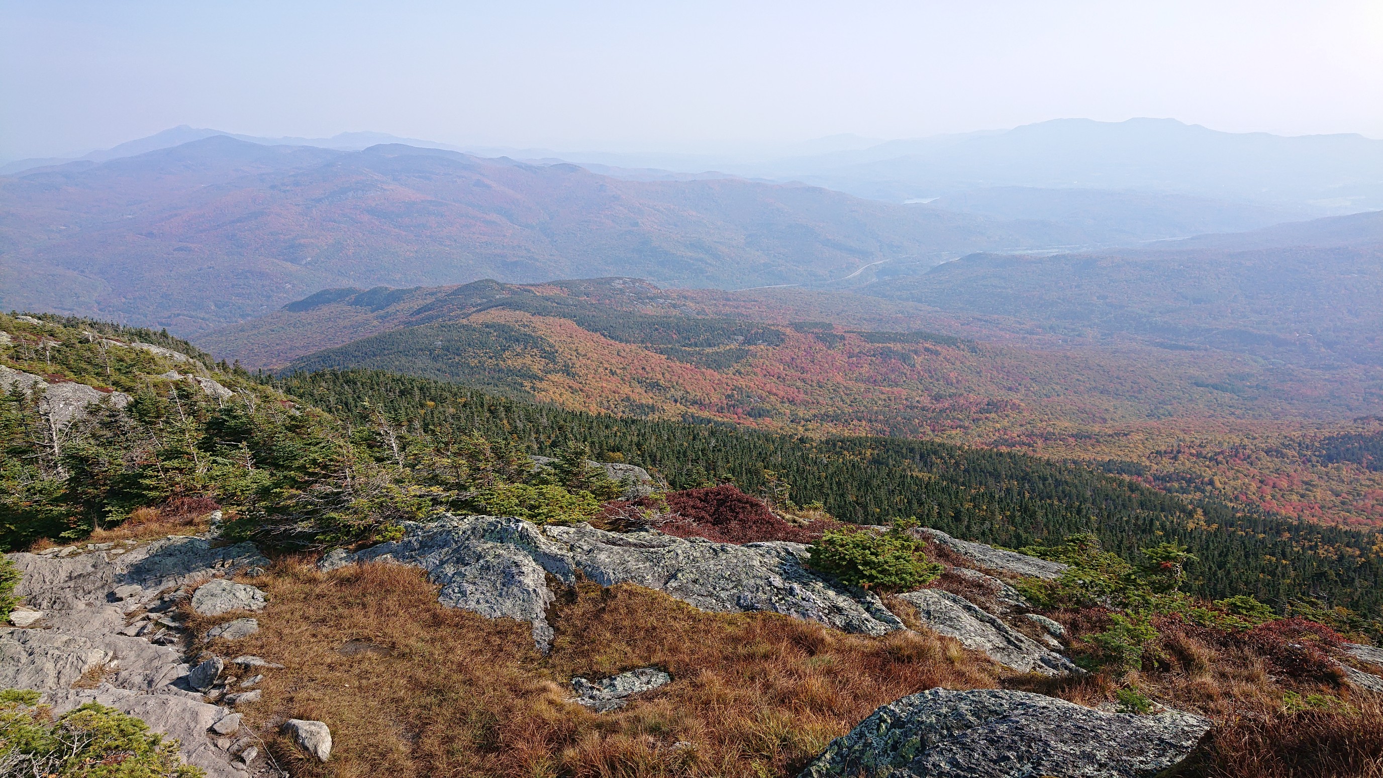
I descended the summit and got to the trail junction, where the mountain plaque is located.
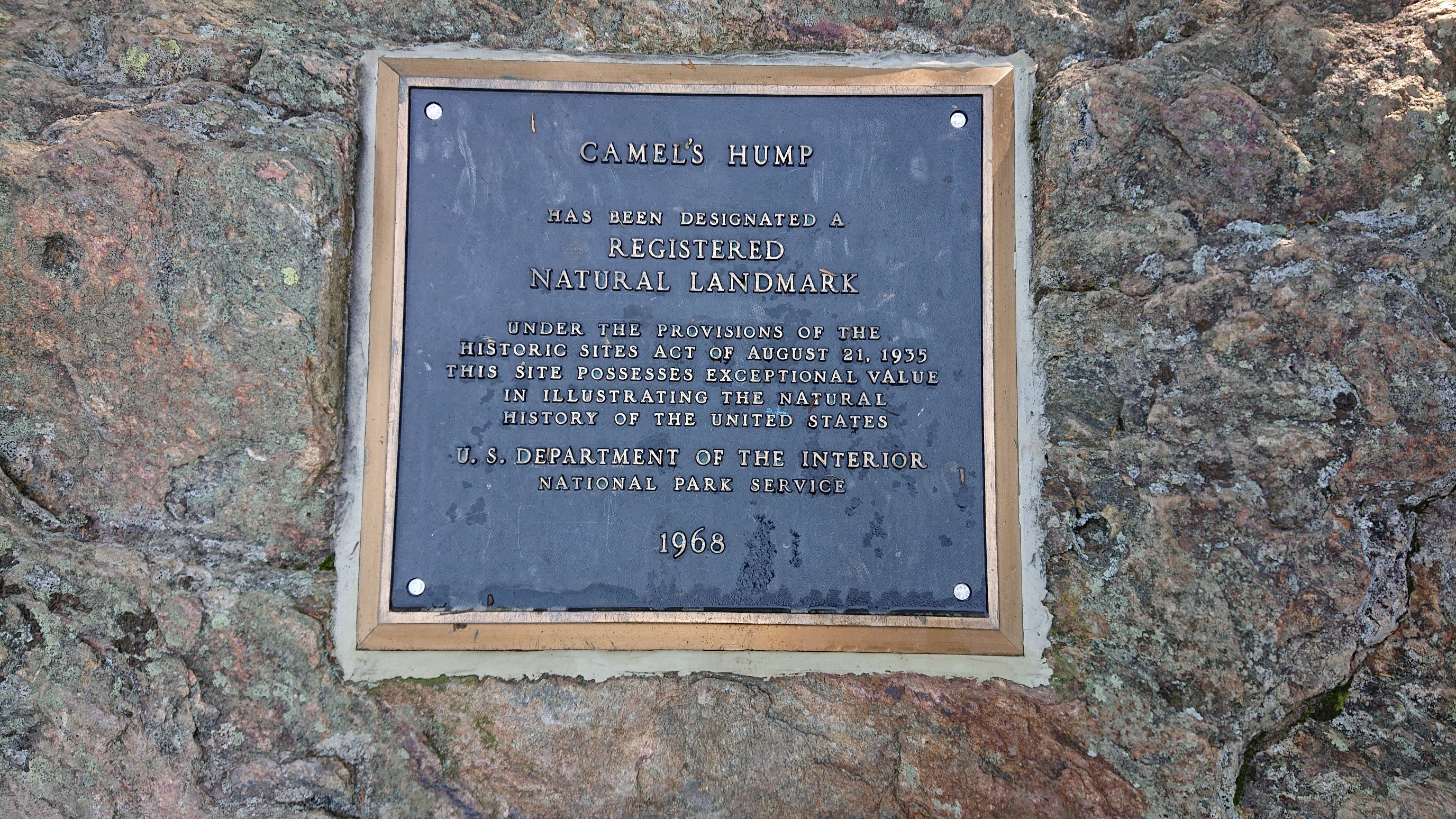
The descent off Camel’s Hump was steep and slabby.
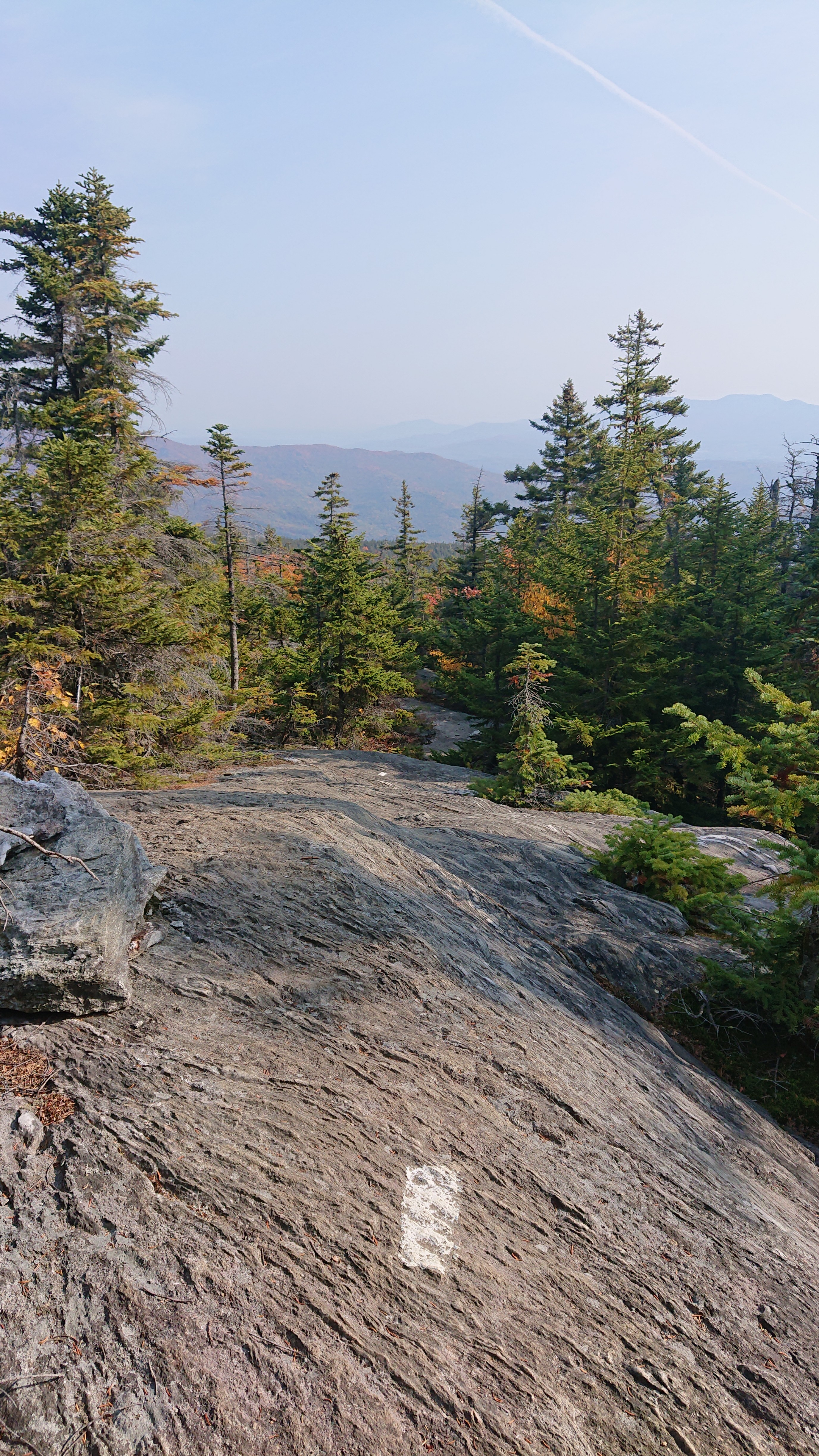
Near the bottom, I got a nice view of the neighboring ridge.
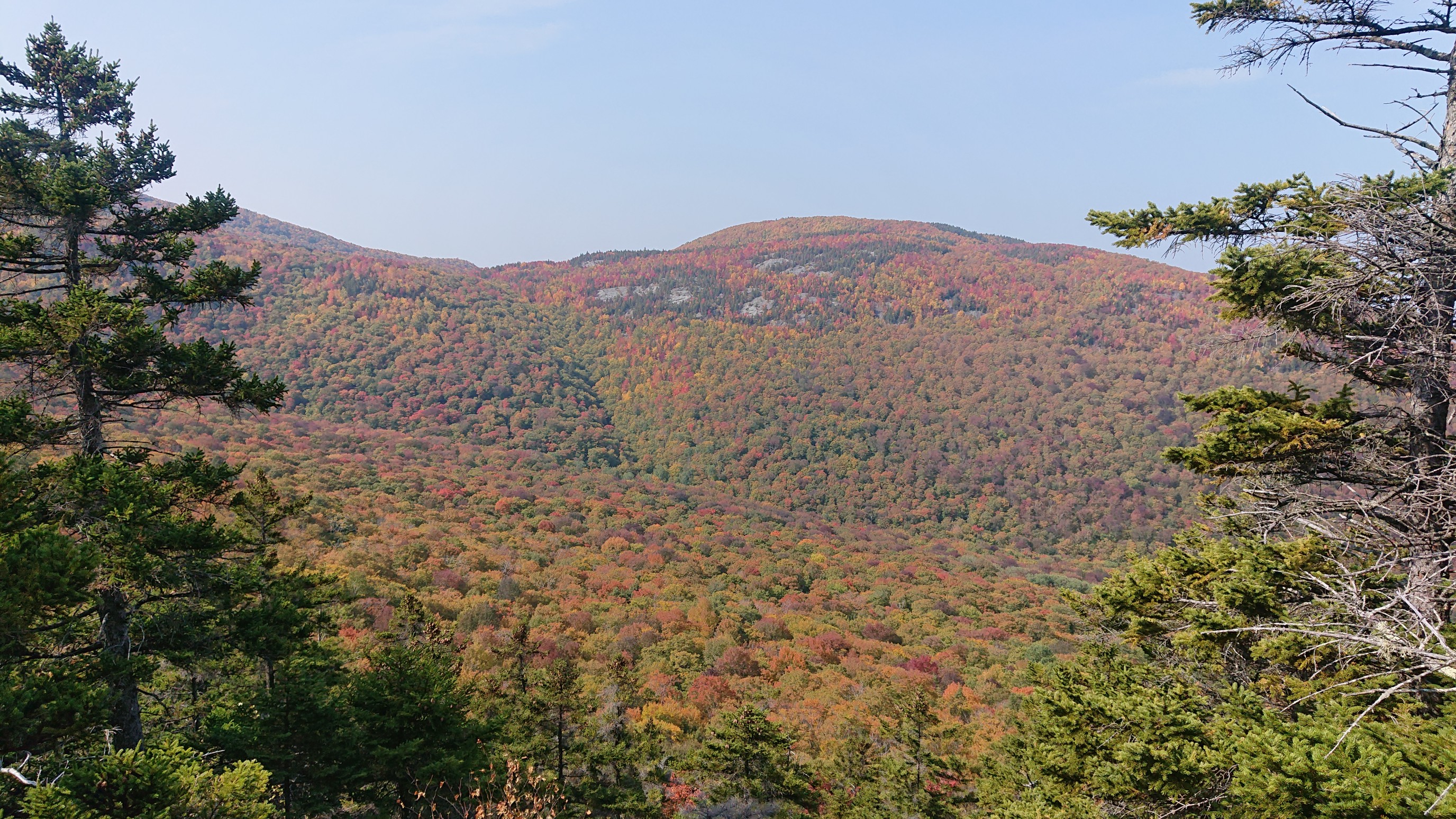
There was even a bench at the lookout over the Winooski River!
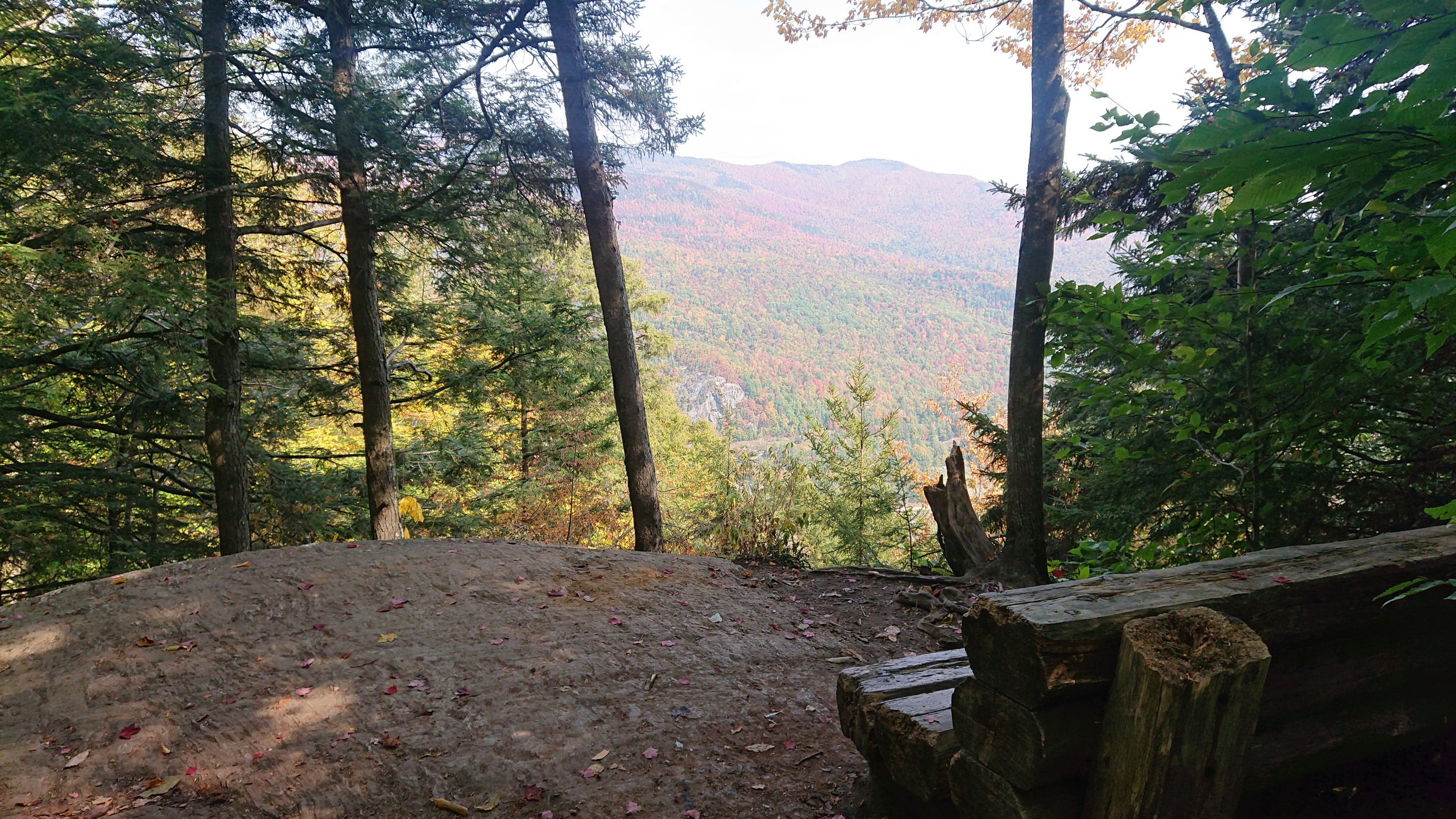
I arrived to the trailhead at 12:10pm, and turned onto a road.
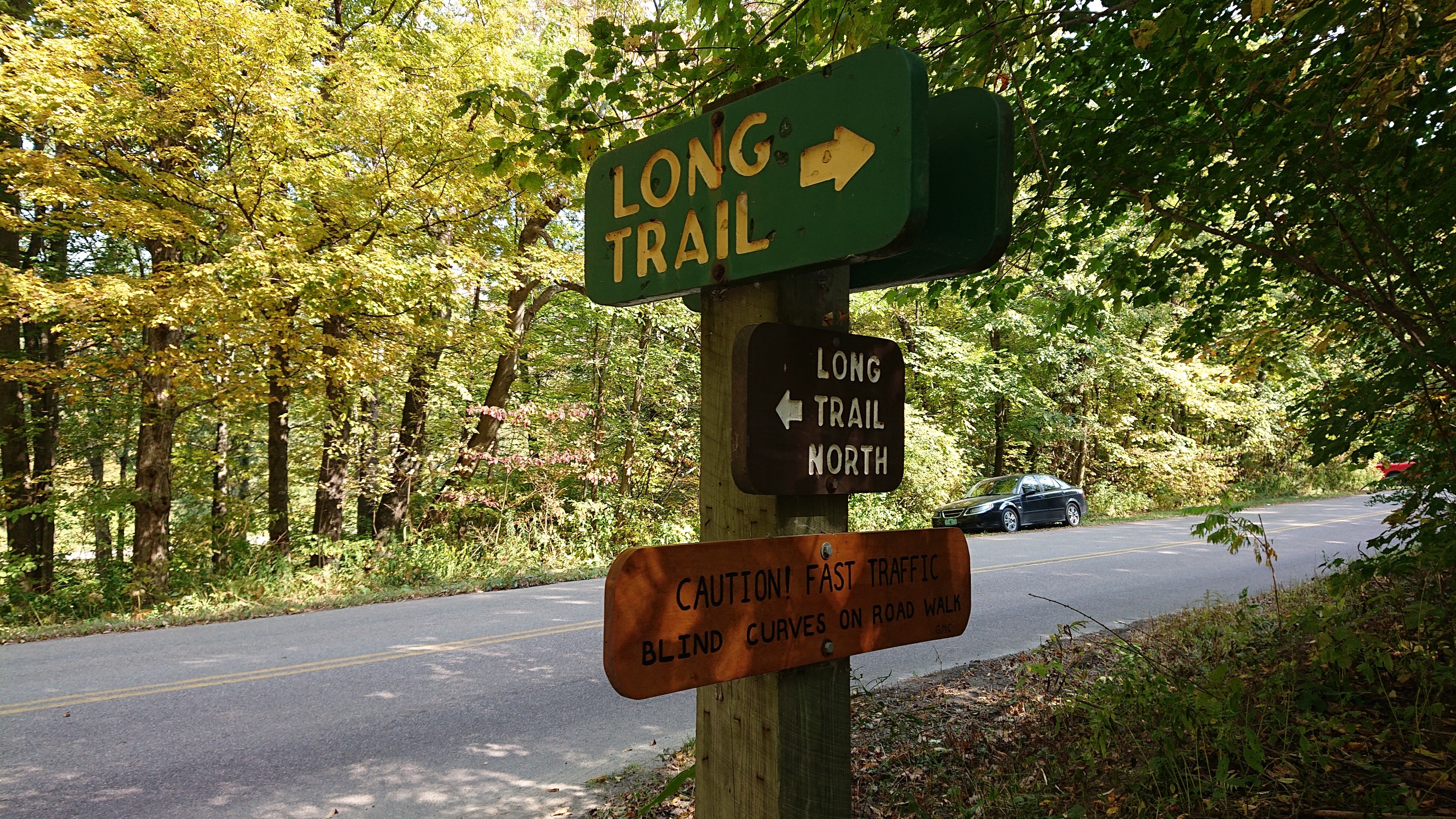
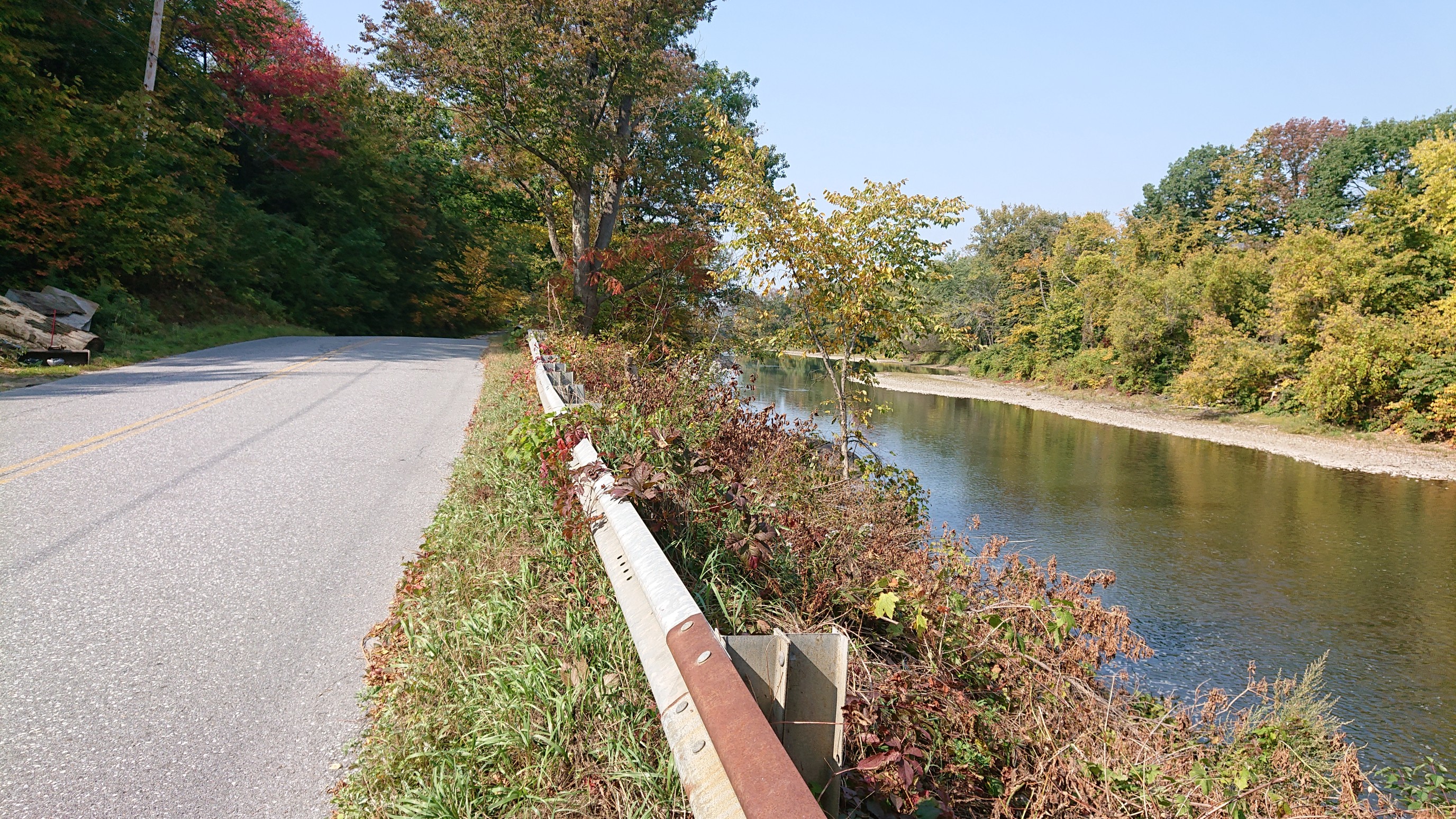
It was a nice walk along the Winooski River for an hour, and almost no car traffic on the road.
I crossed the swingbridge, and met my friend Mark, who was waiting for me with refreshing beverages. He will be hiking with me for the last section of the Long Trail to Canada. We spent the next 6 hours shuttling cars to the necessary trailheads, and got back to hiking at 7pm. It was just after sunset.
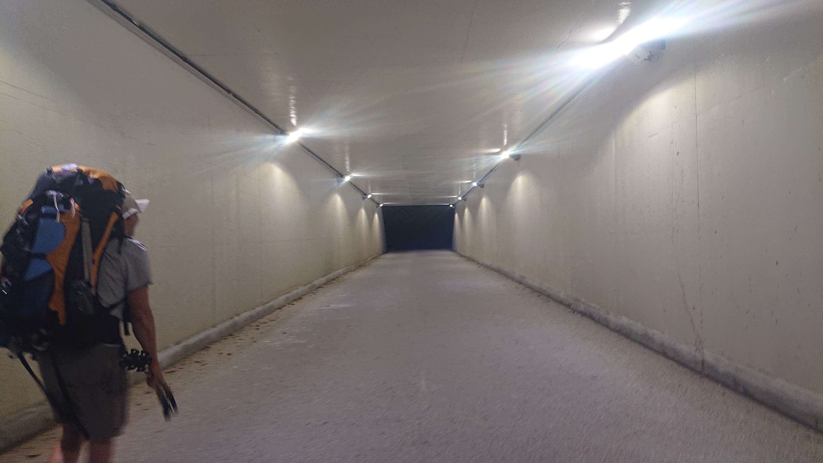
We crossed under the interstate in a nice well-lit tunnel, which appeared to be made just for the Long trail.
We hiked 4 miles up the hill, to a nice camp spot on a ridge, with views down to the Bolton valley. A long day!