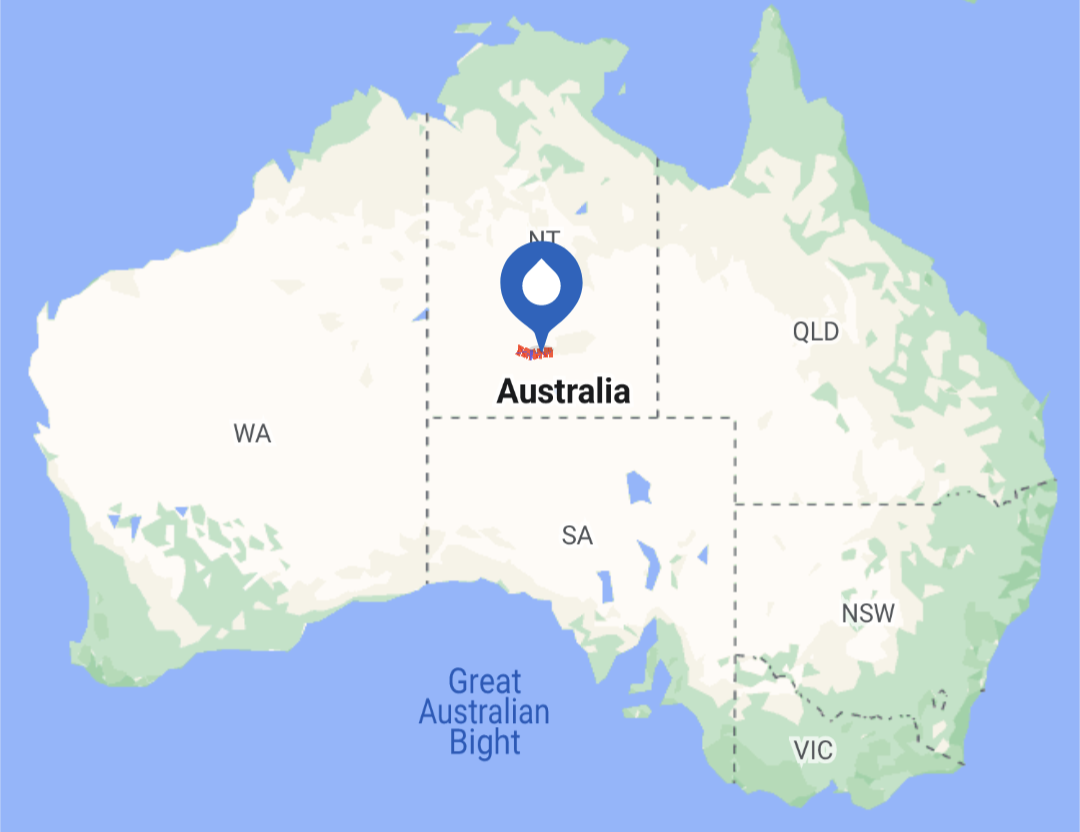
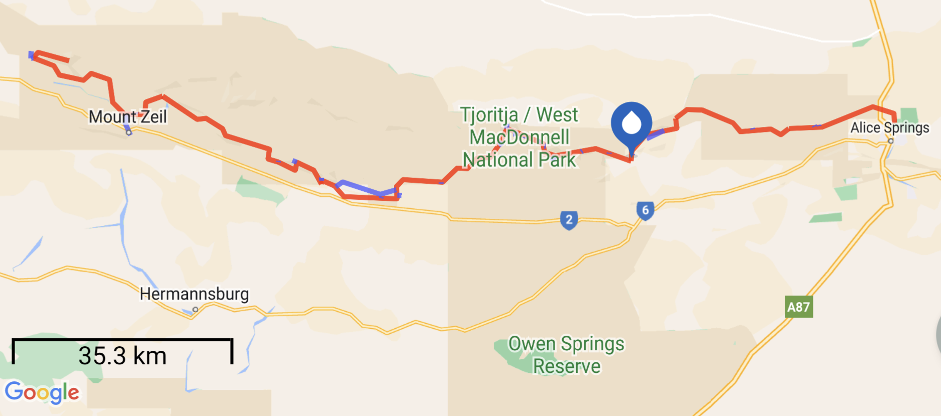
The Larapinta Trail (LT) is located in central Australia, and begins near the town of Alice Springs, NT. It traverses 223km (139mi) of the West MacDonnell Ranges, which is generally a desert climate.

The trail is traditionally hiked westbound, to finish on the summit of Mt. Sonder (1379m/4524ft), which is also its highest point. Some of the popular spots along the route are the Finke River, Simpsons Gap, Standley Chasm, Ormiston Gorge, Ellery Creek Bighole, Serpentine Gorge, and Redbank Gorge.

Being a dry desert climate, water is scarce and open fires are prohibited. In addition to natural water sources, water barrels are maintained along the trail every 10-15km for hikers, generally limiting water carries to half a day.
For logistical reasons, I plan to hike the trail eastbound, in the opposite direction. I’ll hitch from Alice Springs to Redbank Carpark (about a 2-hour drive), and begin my hike at Mt. Sonder. Then, I’ll spend the next 9 days walking back to Alice Springs, covering about 28km (18mi) per day. After this short trail, I plan to take a couple days to explore the nearby tourist attractions, like Uluru and Kings Canyon National Parks.
Daily Blog Posts:
