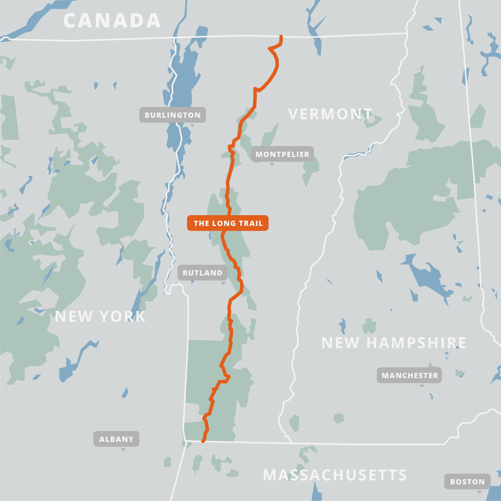
The Long Trail (“LT”) is a 272-mile/438km hiking trail that traverses the length of Vermont, from Massachusetts to Canada. The trail was built by the Green Mountain Club in 1910, making it the oldest long-distance hiking trail in the USA. It was the inspiration for the Appalachian Trail, which coincides with the Long Trail for 105 miles in the southern part of the state. The trail generally follows the ridge of the Green Mountains as it climbs rugged peaks and passes pristine ponds, alpine sedge, hardwood forests, and swift streams. The trail climbs over all five of Vermont’s 4000-footer peaks, including Mt Mansfield (4395ft/1340m), the highest point on the LT and in the state of Vermont. The LT is usually hiked in summer and autumn, to avoid spring mud season.

I’ve split the elevation profile into two parts, since I hiked this trail in two sections. I hiked the first 105 miles of the Long Trail in 2019, where it coincides with the Appalachian Trail:

And the remaining 167 miles in 2020:

Daily Blog Posts:
–2019 (part of AT thru-hike)–
Day 85: Killington and Rutland
Day 86: Mostly hilly with a chance of views (1 mile of LT)
–2020–
Day 1: Day Driving, Night Hiking
Day 2: One Foot in front of the other
Day 5: A marathon and some 4000-footers
Day 6: Camels Hump and Mark’s Joining
Day 8: Rainy, Slippery Mountains
Day 9: Nice Day for Ridgewalking