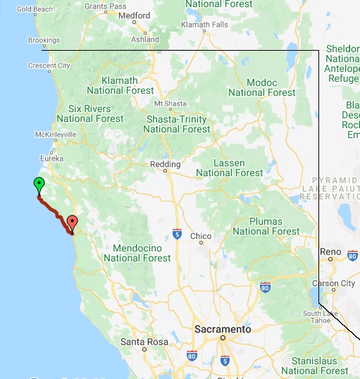
The Lost Coast Trail (“LCT”) is a 57-mile/92km beach and forest hiking trail along the Pacific Ocean in Northern California. I will navigate the well-traveled route using a combination of the Guthook hiking app, Backcountry Navigator app, and the tide charts from NOAA. The first half of the route is on the beach, including three short sections that are impassible at high tide. The first half generally travels between elevations of 0ft and 100ft (0m to 30m); after leaving the beach at Shelter Cove, the second half travels in the forest and climbs to the summit of Chamisal Mountain at 2600ft/792m. Most hikers start at the northern terminus, Mattole Trailhead, so the wind is at their back. We will be doing the same, and finishing at the southern terminus, Usal Beach in Sinkyone State Park. I will be hiking with my CDT trail family, Bard and TopShelf. Because we are not in hiking shape, we will take a very leisurely 4-5 days to hike the 57 miles, traveling only 14 miles per day. Since it’s such a short hike, we won’t need to deal with food resupply, though there is the Shelter Cove General Store about halfway along the trail. Our food storage will be in a bear canister, as these are required by the King Range NCA.
The LCT is located in Northern California, along a very rugged section of coast. Even Highway 101 avoids the coast here, and veers inland to avoid the mountainous terrain!

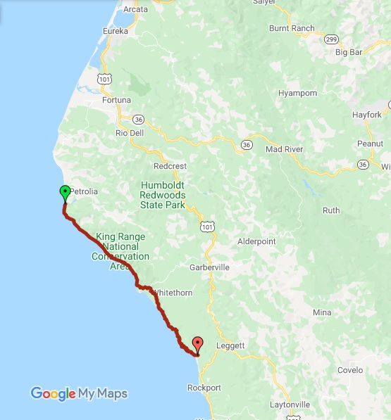
A closer look at the trail map:

The elevation profile is very flat at first, with some steep climbs in the latter half:

Daily Blog posts:
Day 1: Mattole start, Elephant Seal finish
Day 2: Taunting the Ocean
Day 3: Roadwalks, Climbs, Poison Oak, Dogs
Day 4: Ups and Downs and Ups