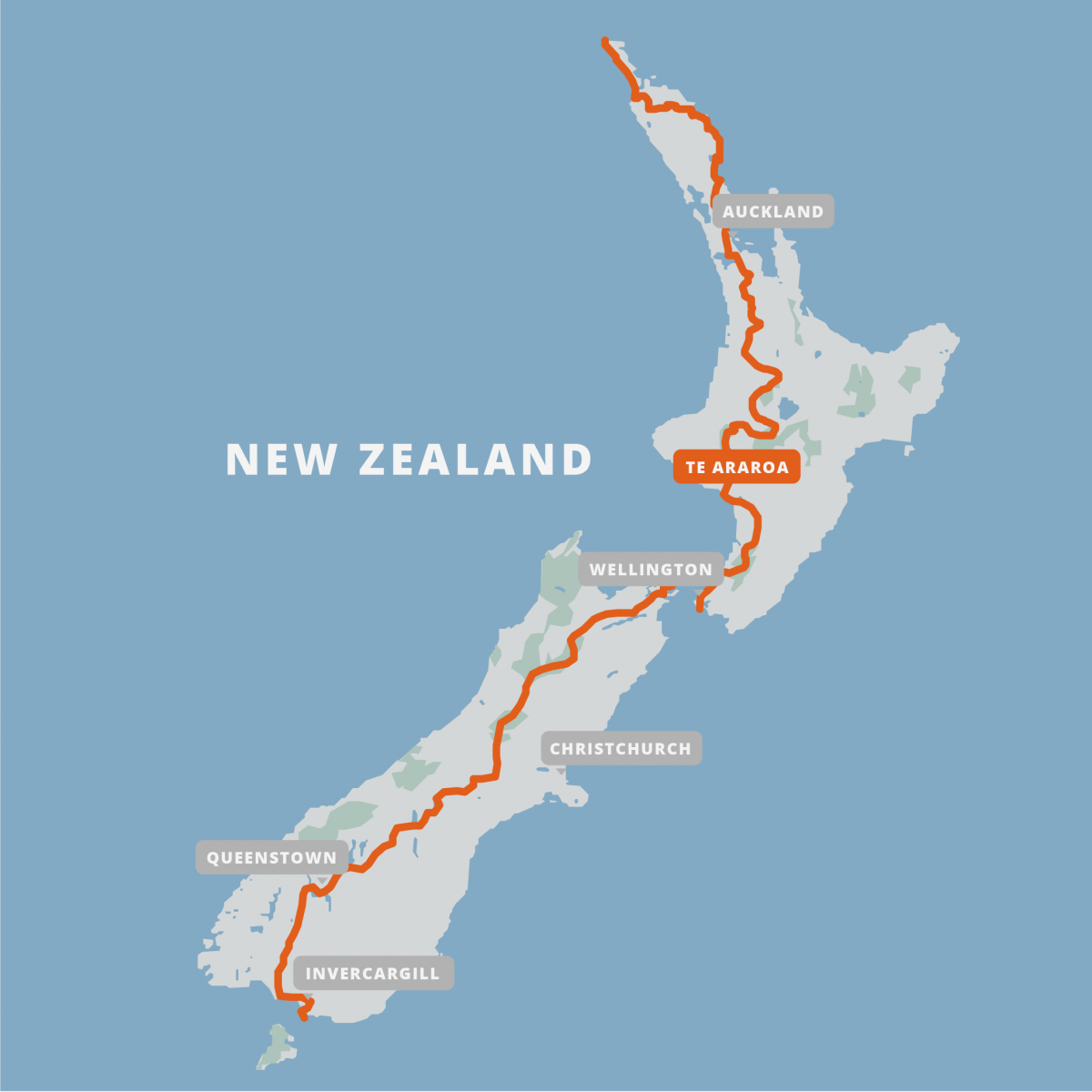
The Te Araroa (“TA”) is a relatively new long-distance hiking (“tramping”) trail/track, opened in 2011. It is 3000km/1864mi long, traversing the length of both islands of New Zealand. The trail is relatively low in elevation, starting at sea level on 90-mile beach, and reaching a highpoint of only 1925m/6316ft. There is a wide range of terrain, including beaches, muddy forests, farmland, stream hiking, canoeing, cows, stopbanks, tussock fields, alpine ridges, and roadwalking.

Blog Posts:
Update 1: The Start & 90-mile Beach
Update 2: Northland forests & Kerikeri
Update 3: Walking the East Coast
Update 6: The North Island farmlands
Update 7: Roadwalks and the Timber Trail
Update 8: The 42 Traverse and Tongariro National Park
Update 10: Back to the coasts and roads
Update 11: The Tararua Mountains
Update 12: End of North Island
Update 13: Starting South Island
Update 16: Nelson Lakes National Park
Update 17: Wet, Windy, and Wading
Update 19: Rakaia and Rangitata Rivers
Update 20: Part Civilization, Part Elevation
Update 21: Wanaka to Queenstown
Update 22: Cascade Saddle Side-trip
Update 23: Routeburn, Greenstone, and Mavora Tracks