Tuesday May 21, 21.4mi/34.4km

Pierce Spring (315.8/8120ft) to Start of Railroad Grade Trail (337.2/9180ft) (Arizona)

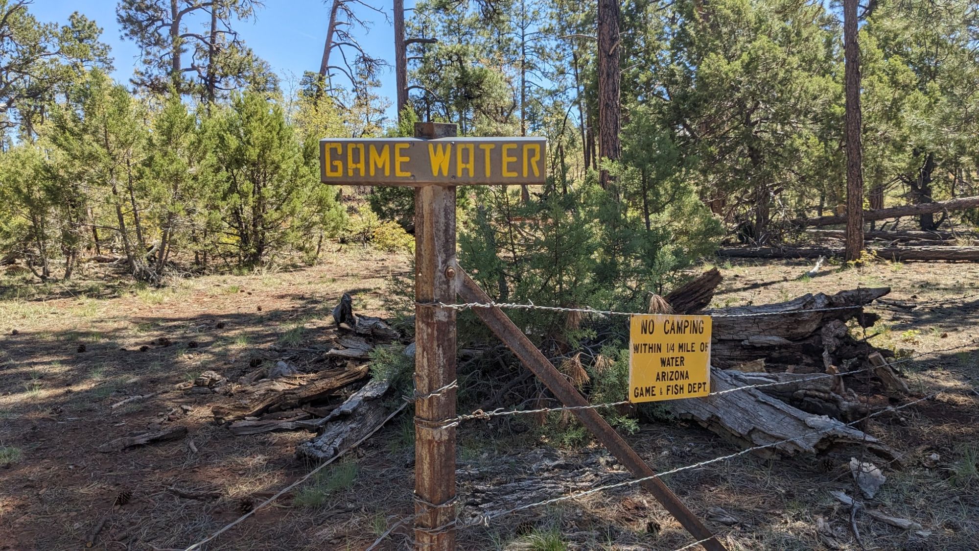
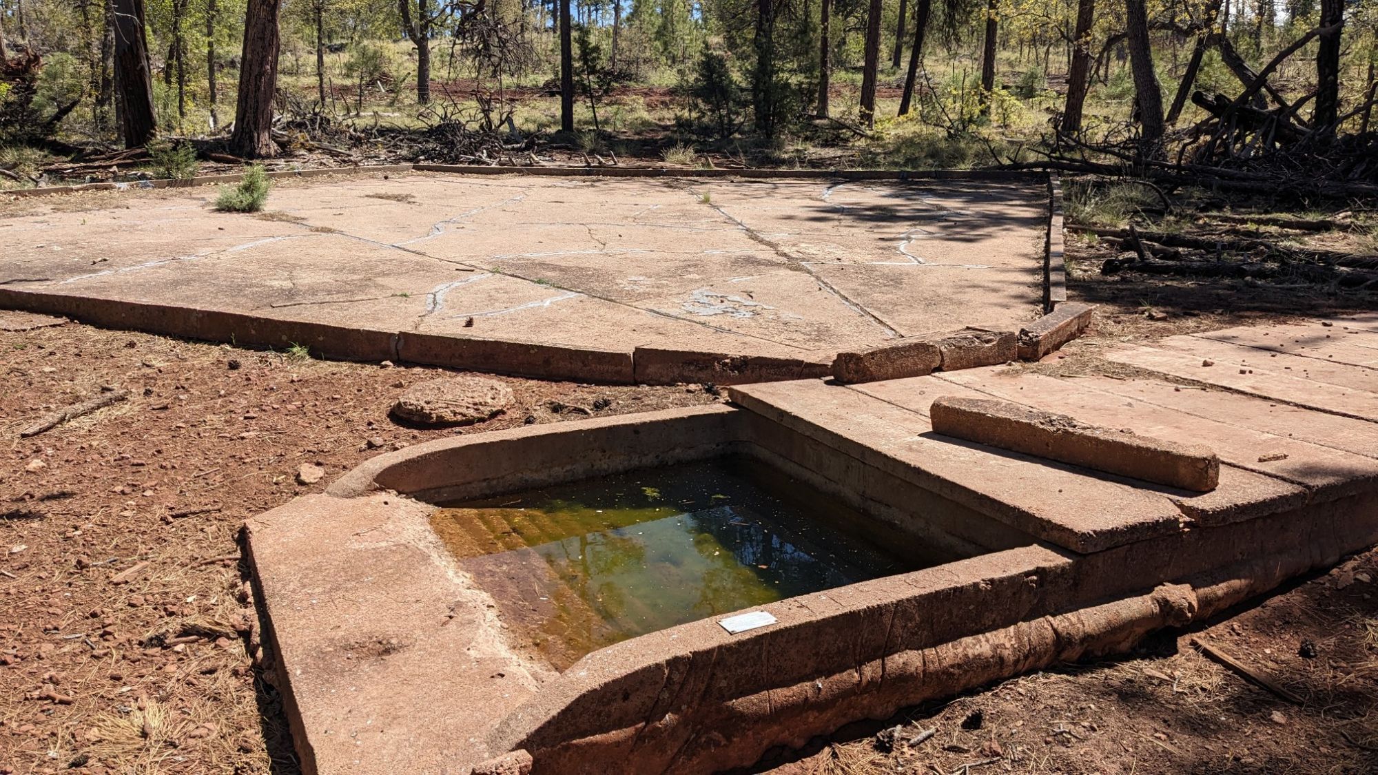
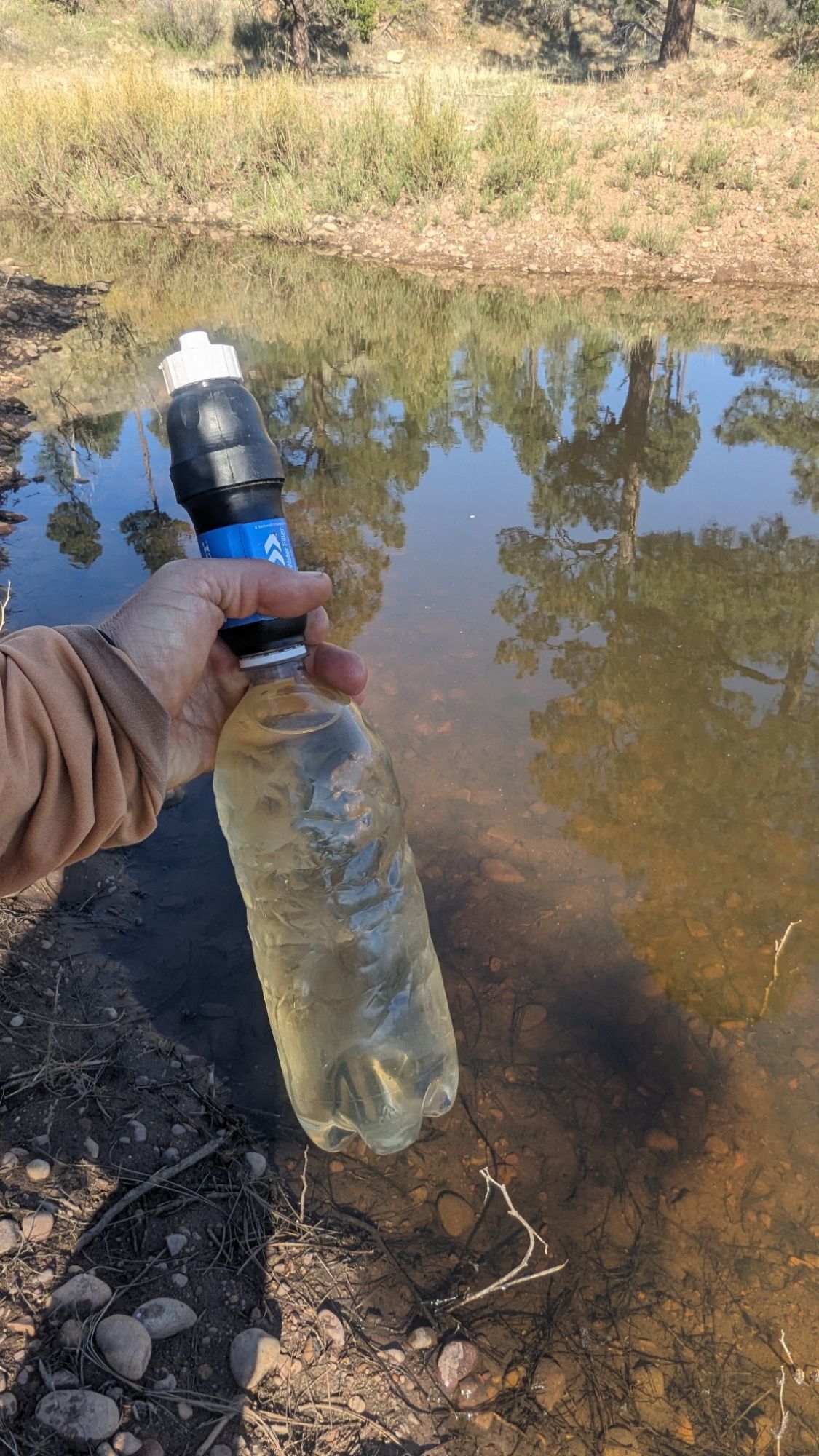
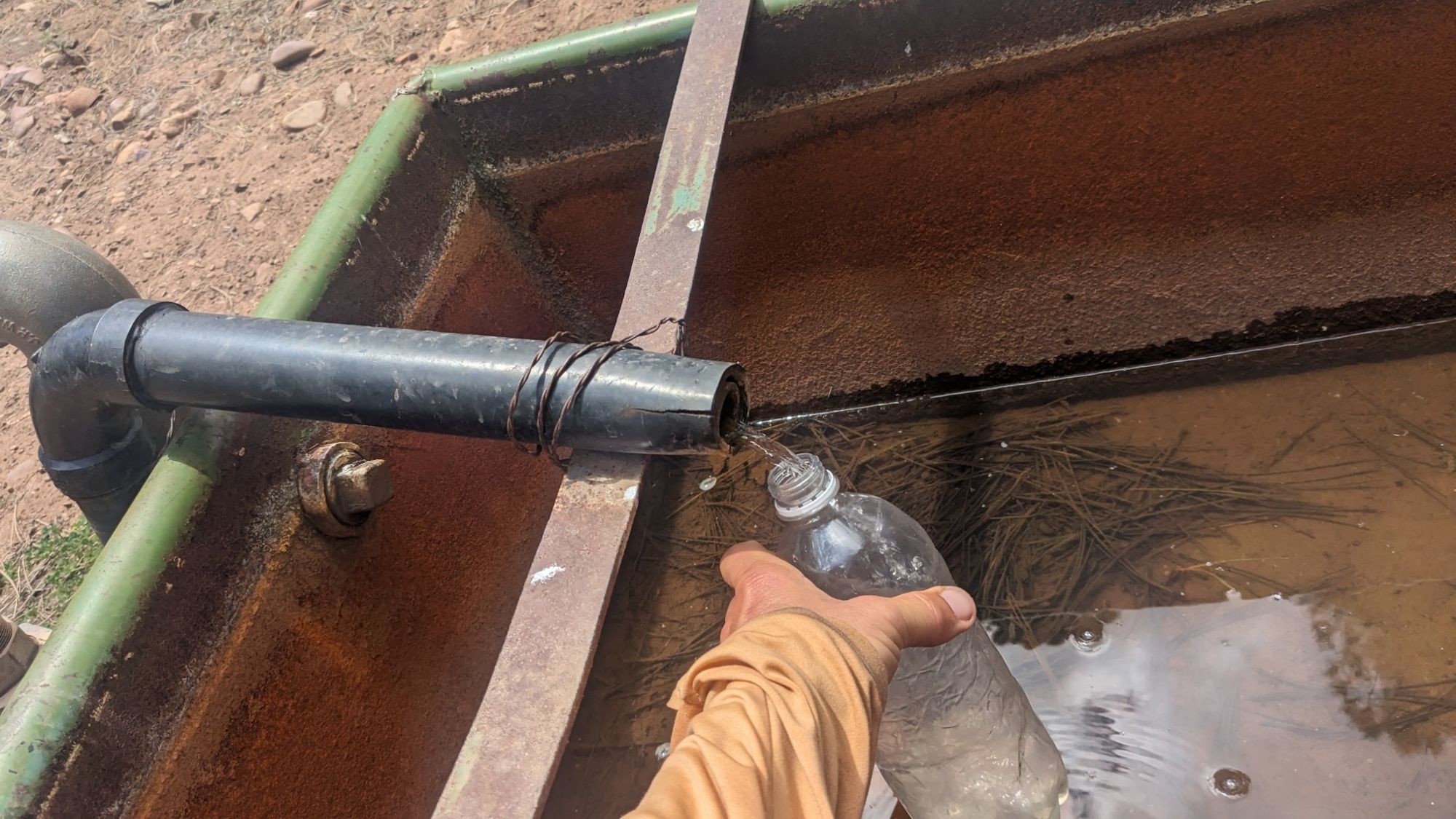
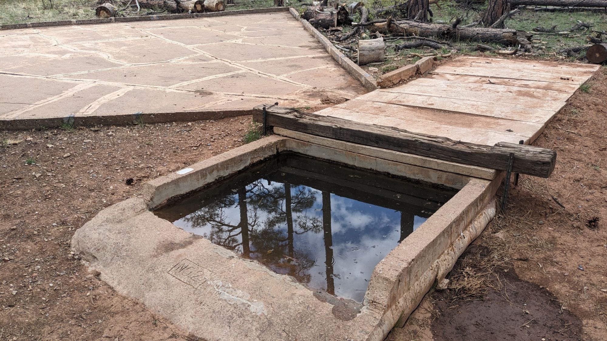
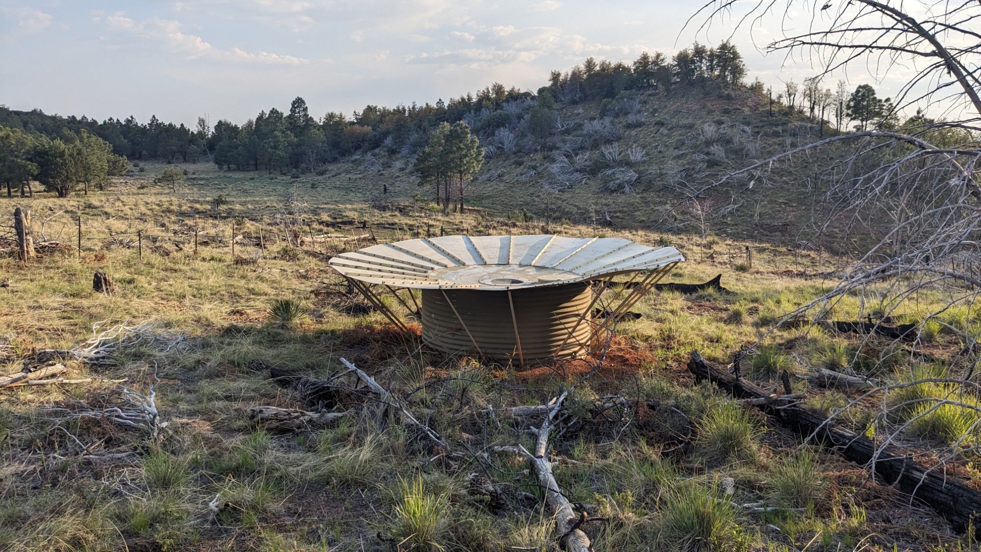
Surprisingly I had very minimal condensation on the inside of my tent when I woke up. I packed everything up and walked over to the spring to get water.

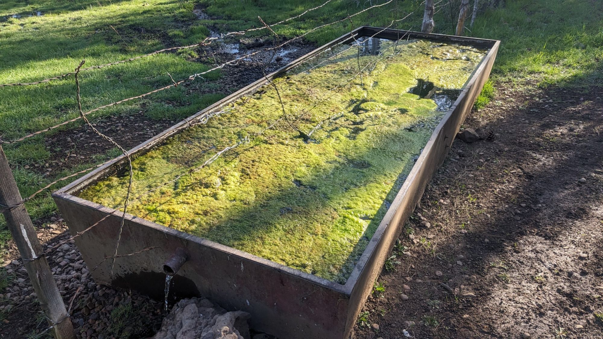
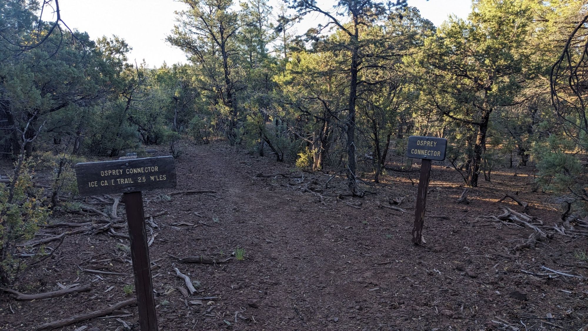
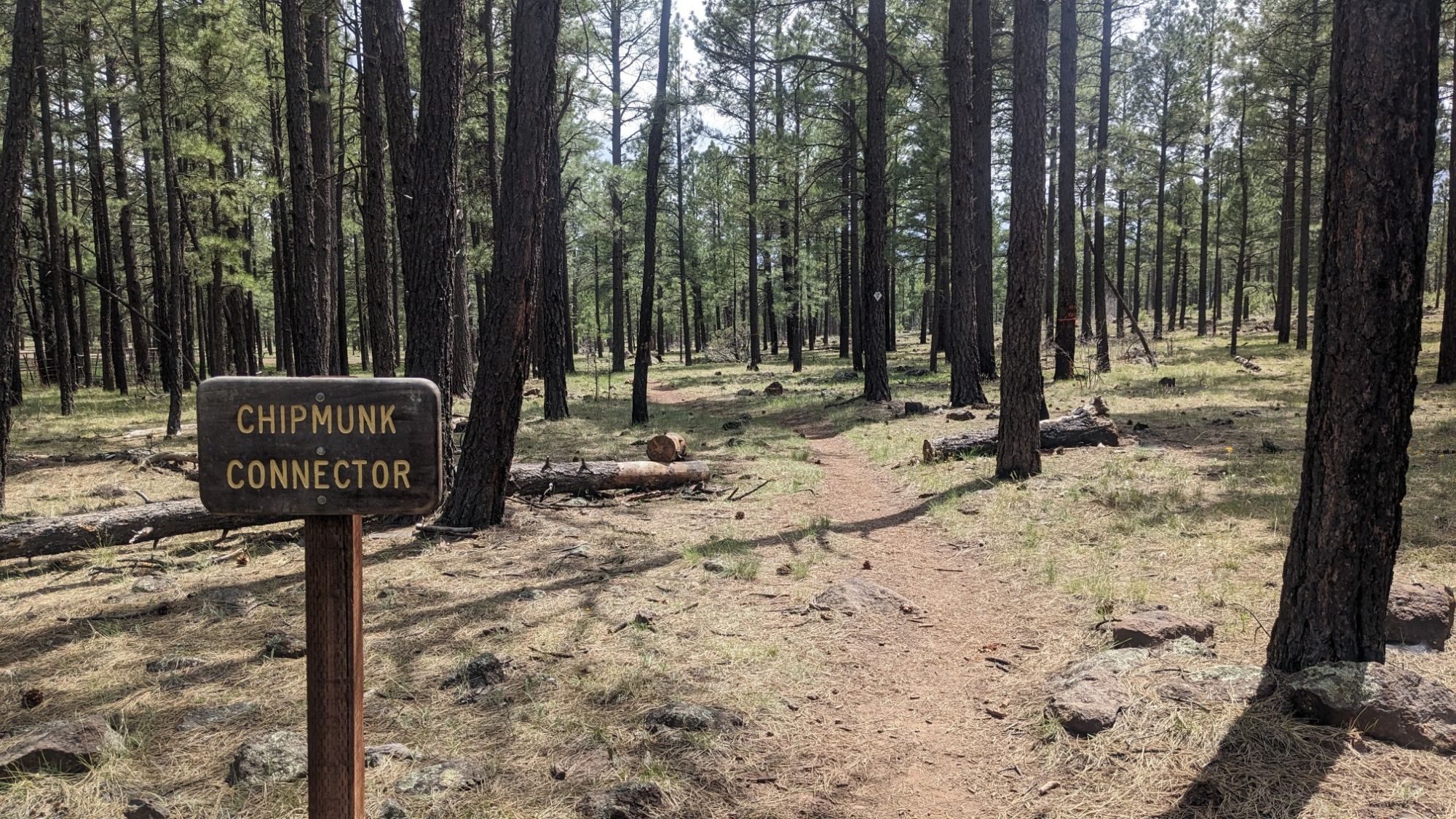
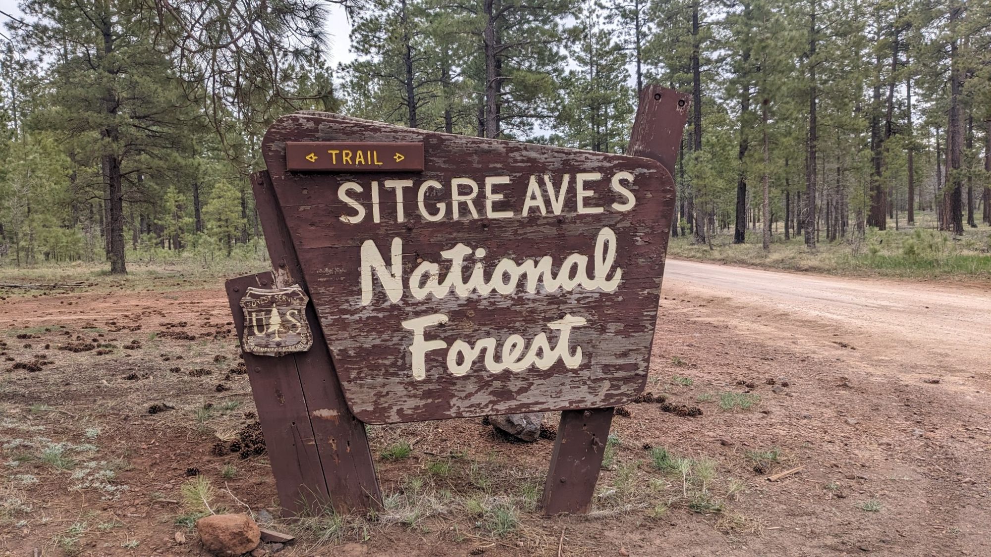
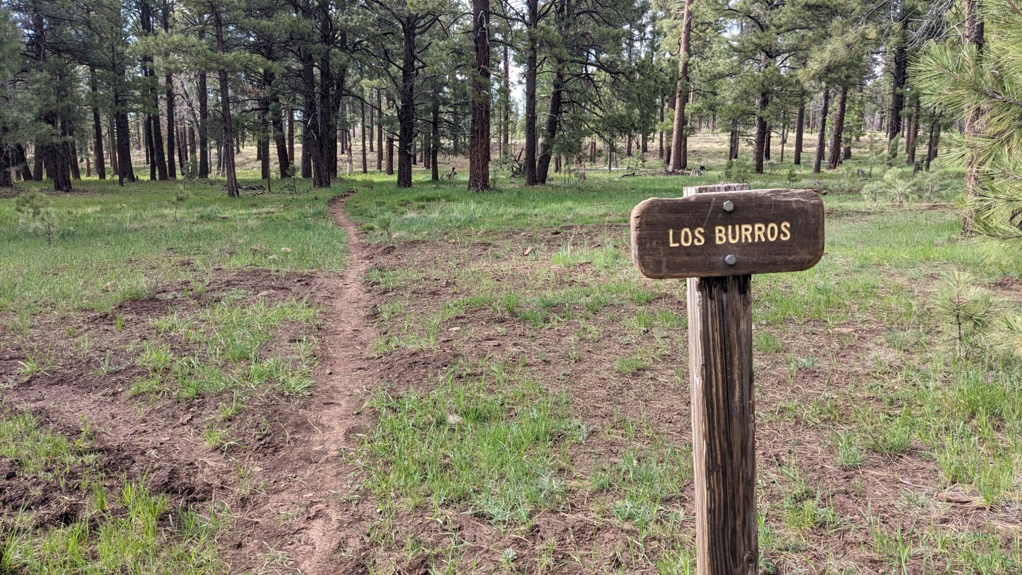
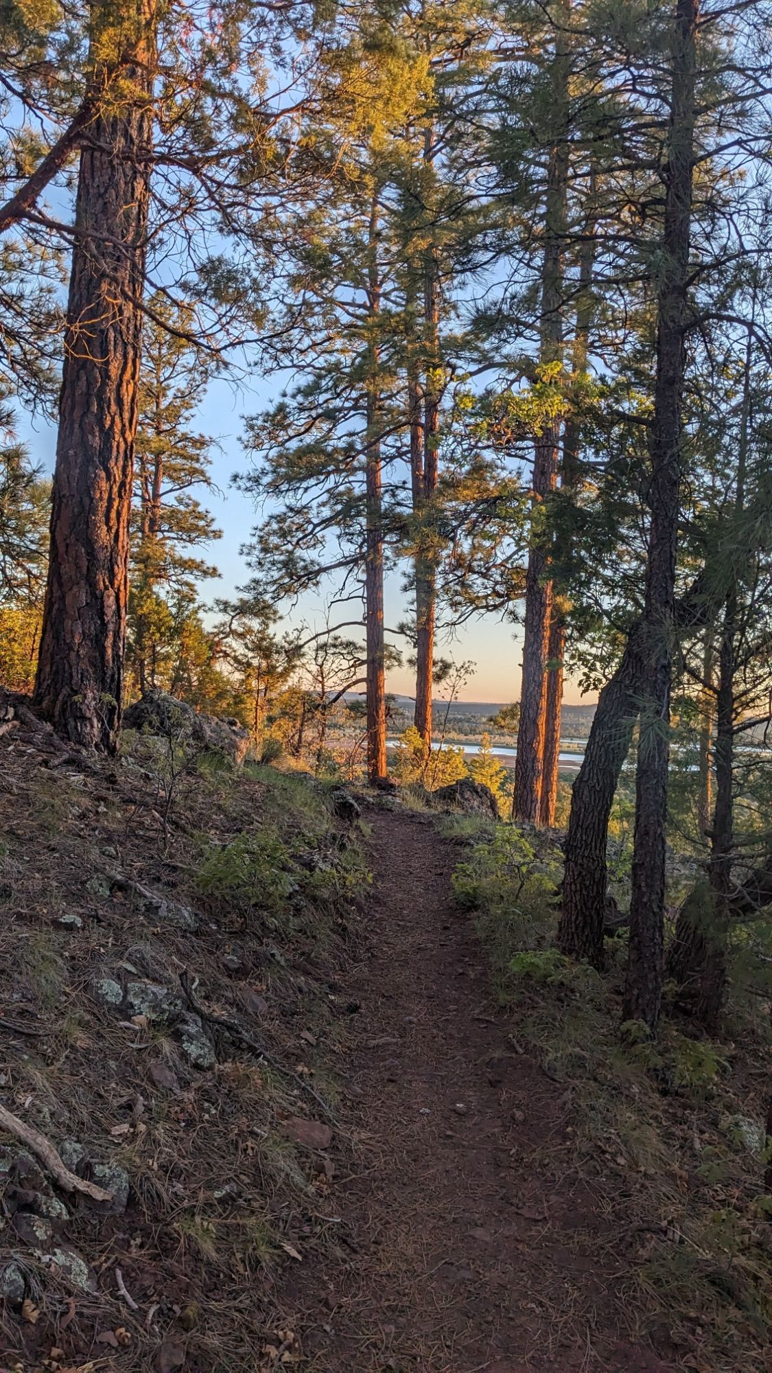
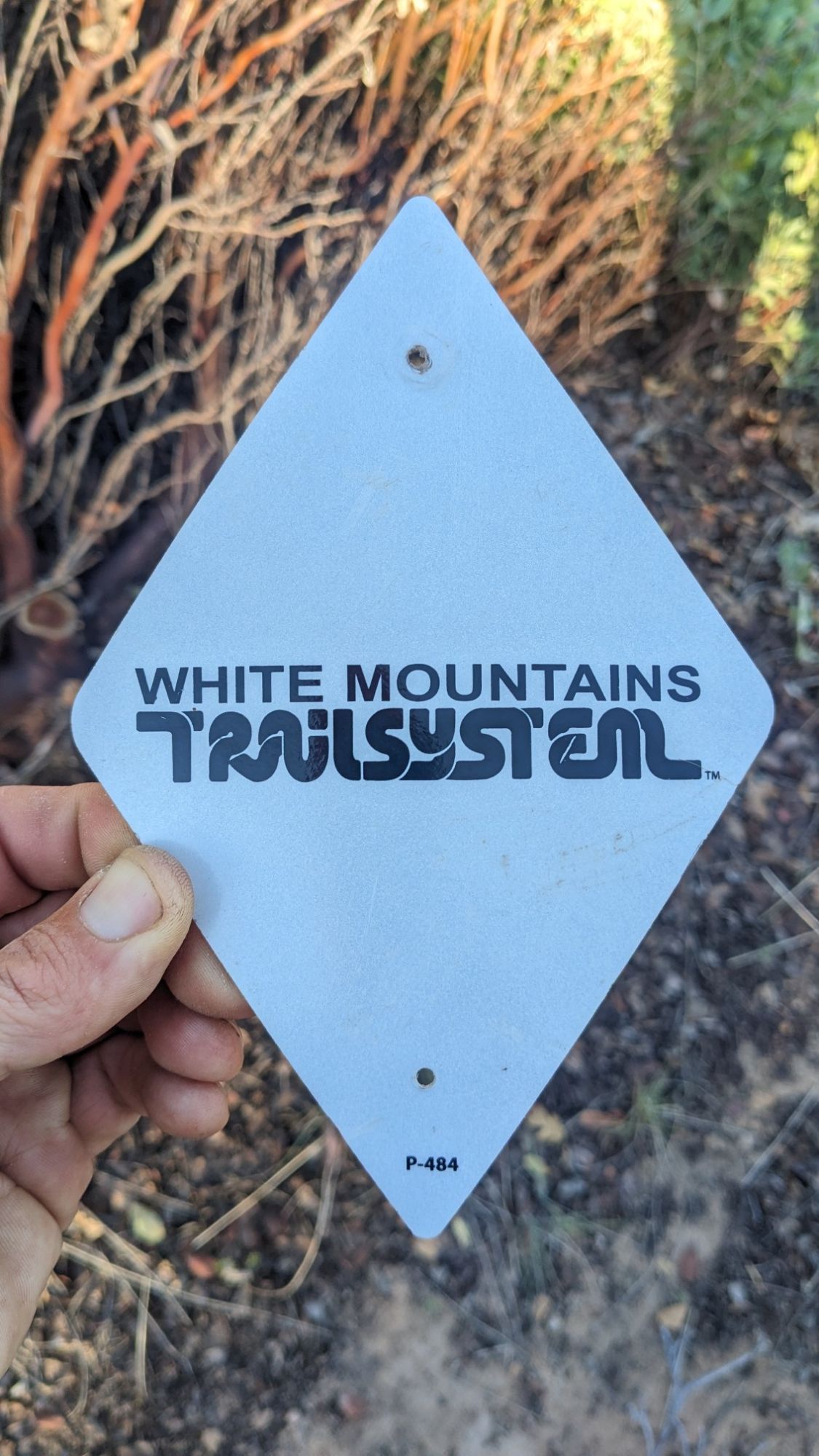
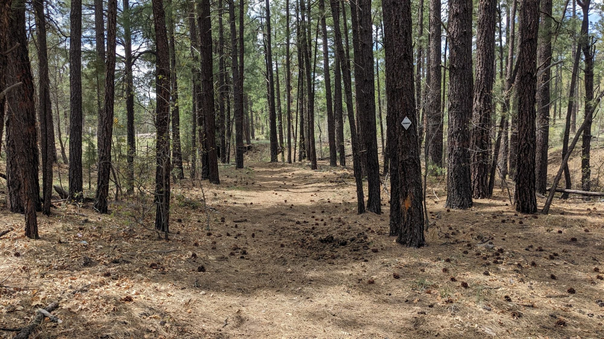
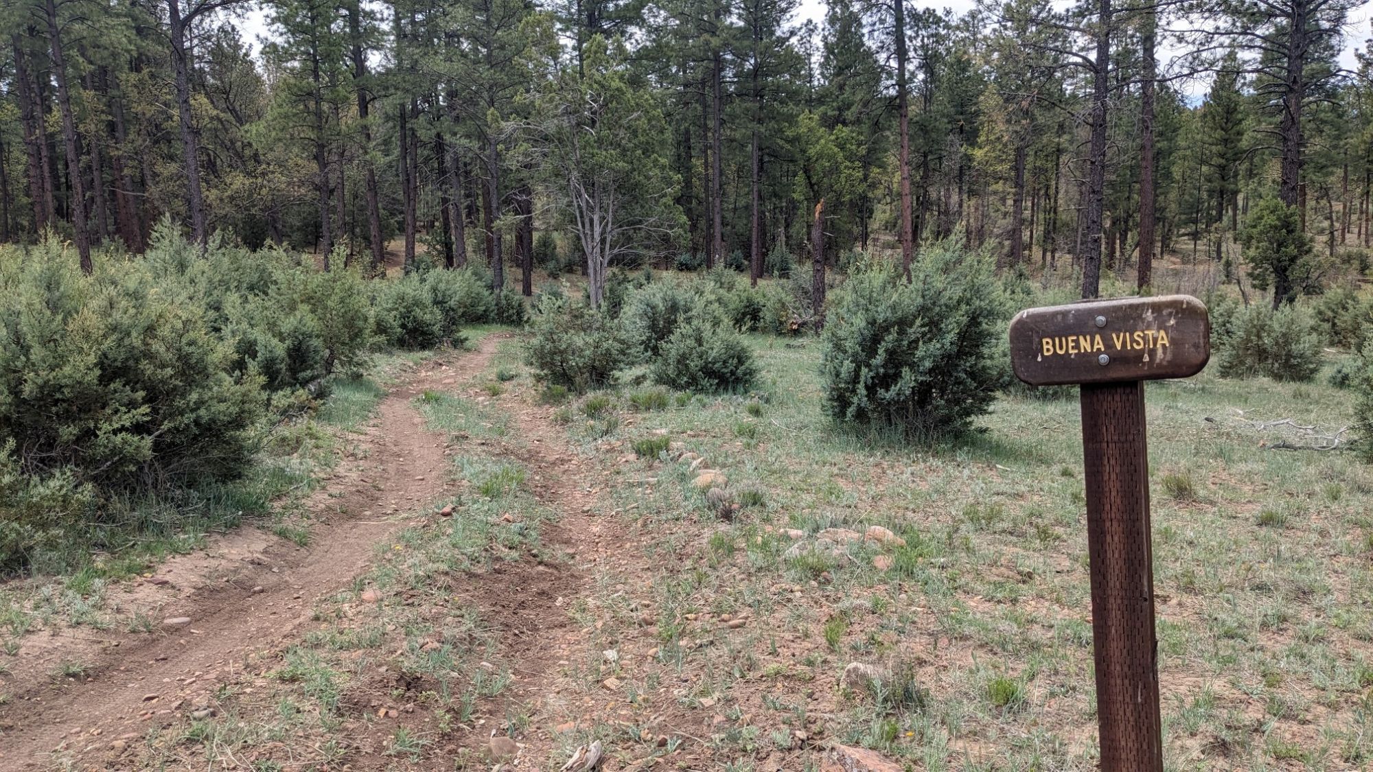
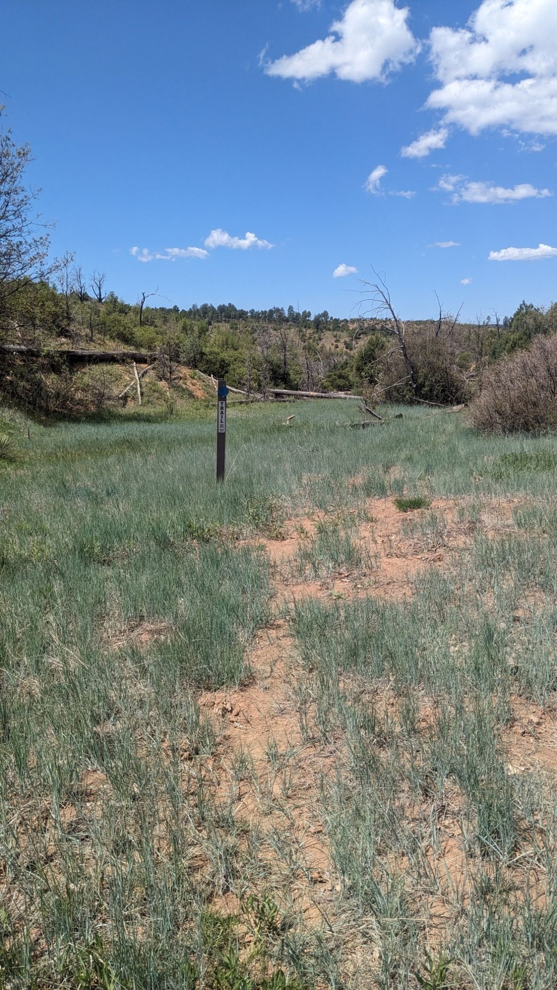
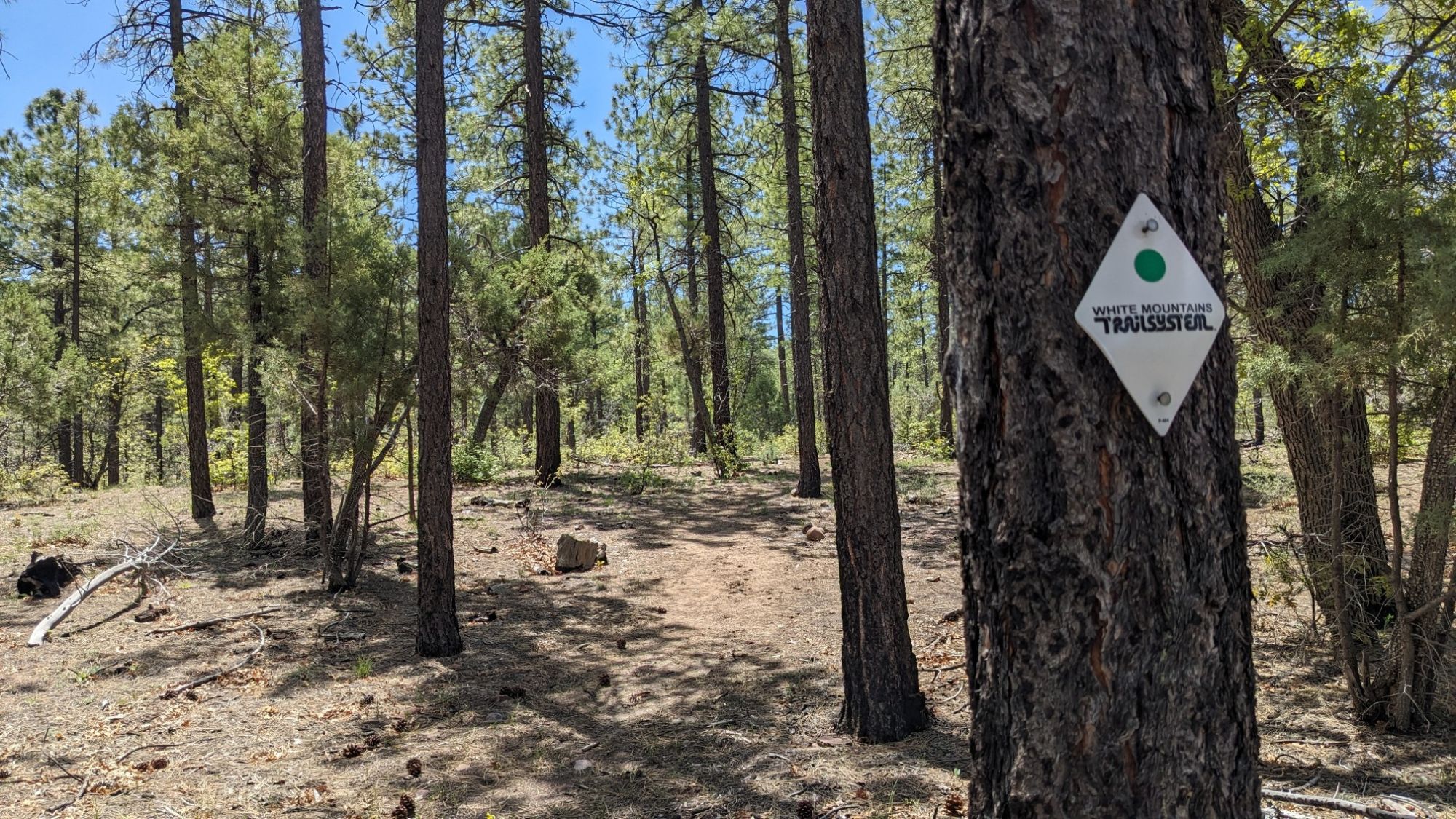
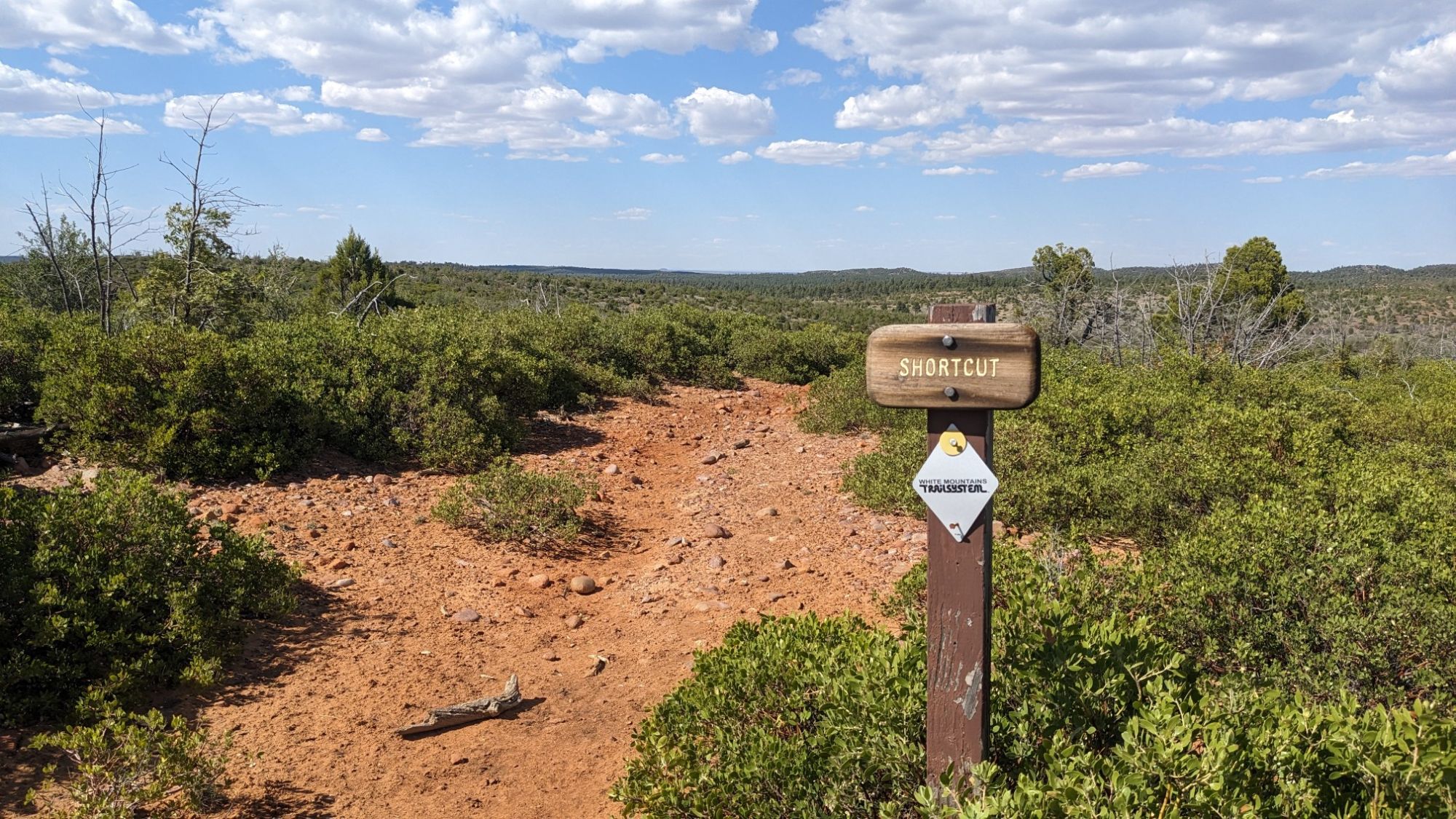
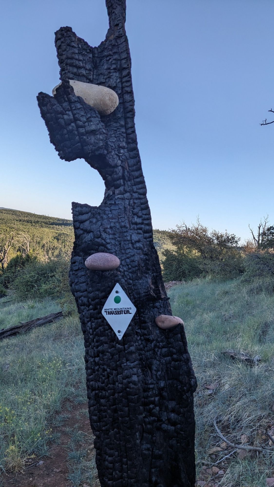
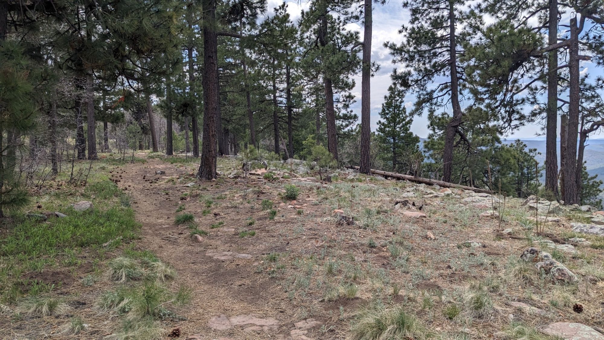
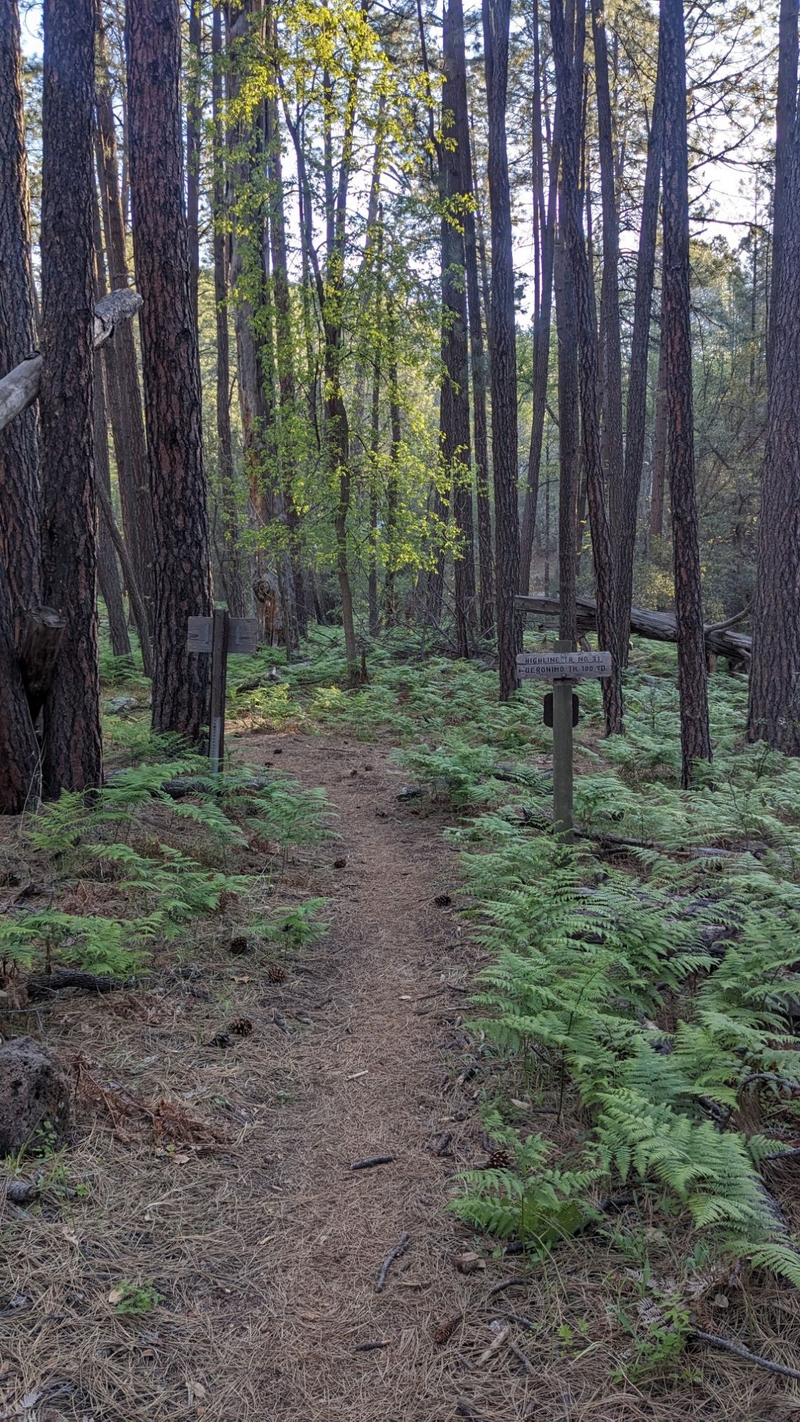
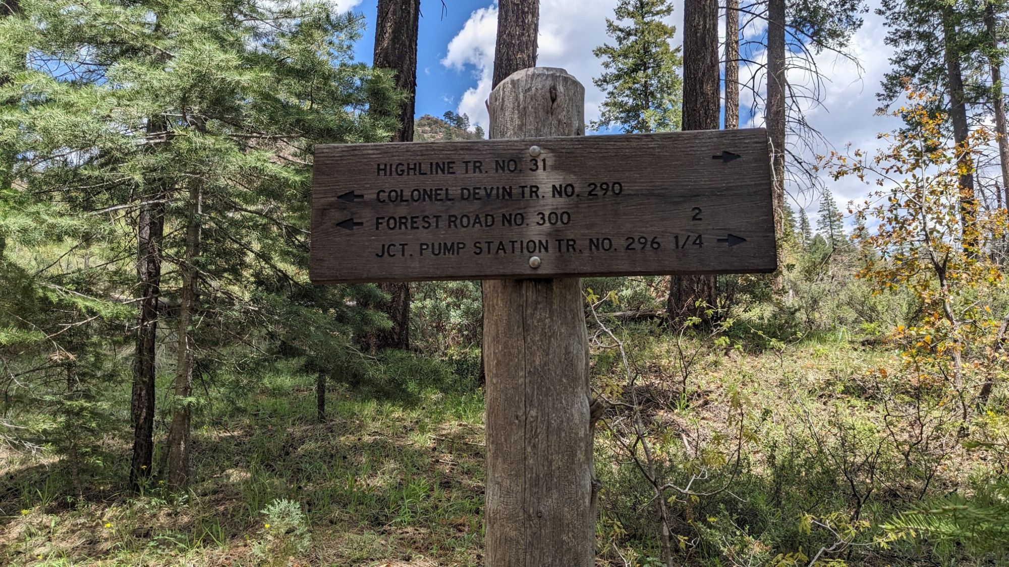
It looked pretty gross, and then I realized that was the cow trough, not the spring which I found hidden in a wooden box nearby. I hiked for about a mile on trails, and then I left the White Mountain Trails network.

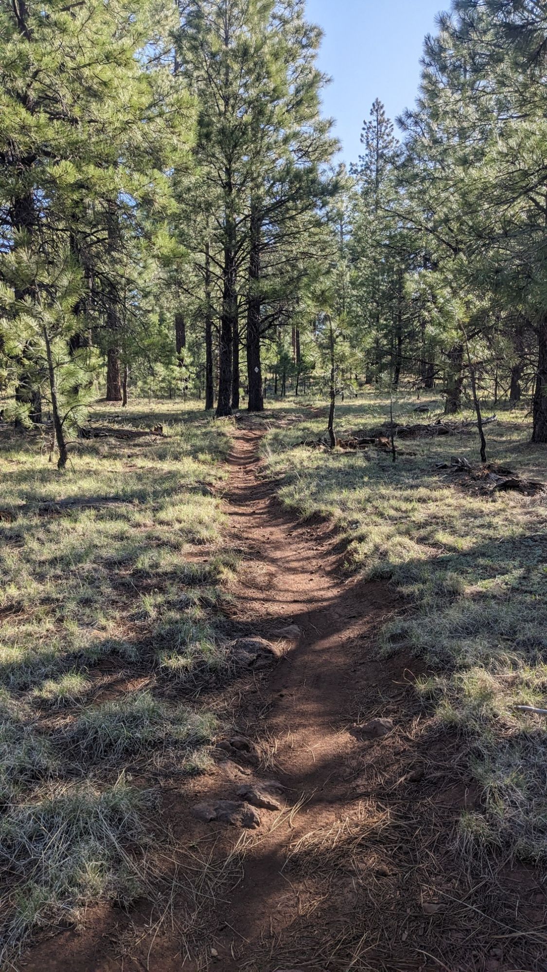
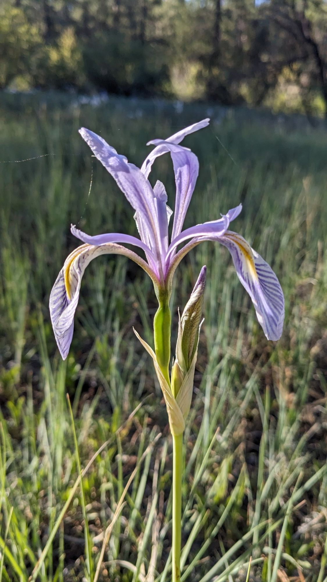
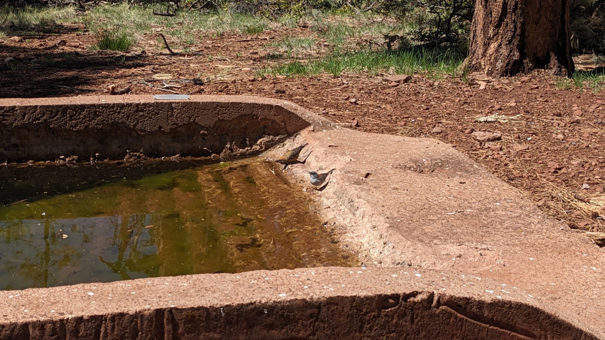
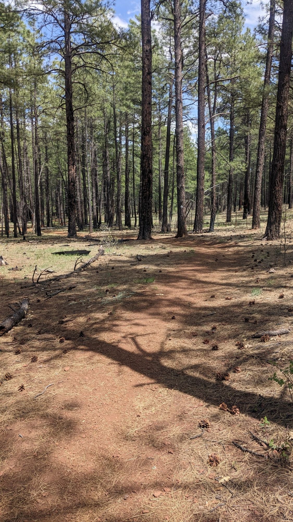
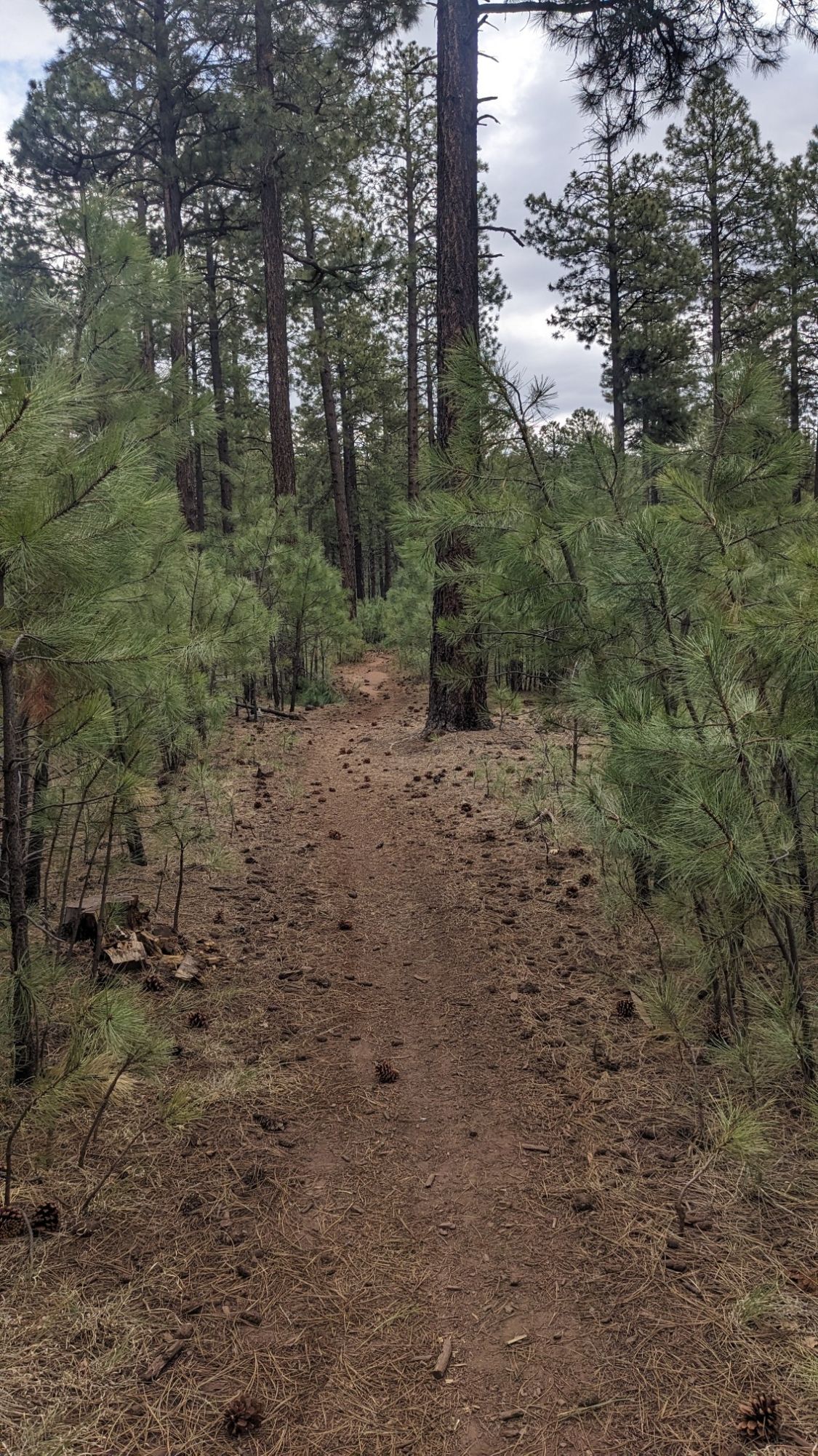
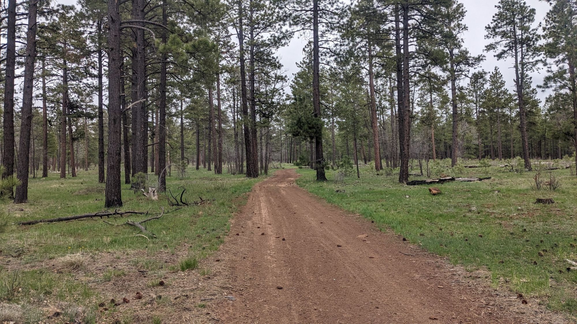
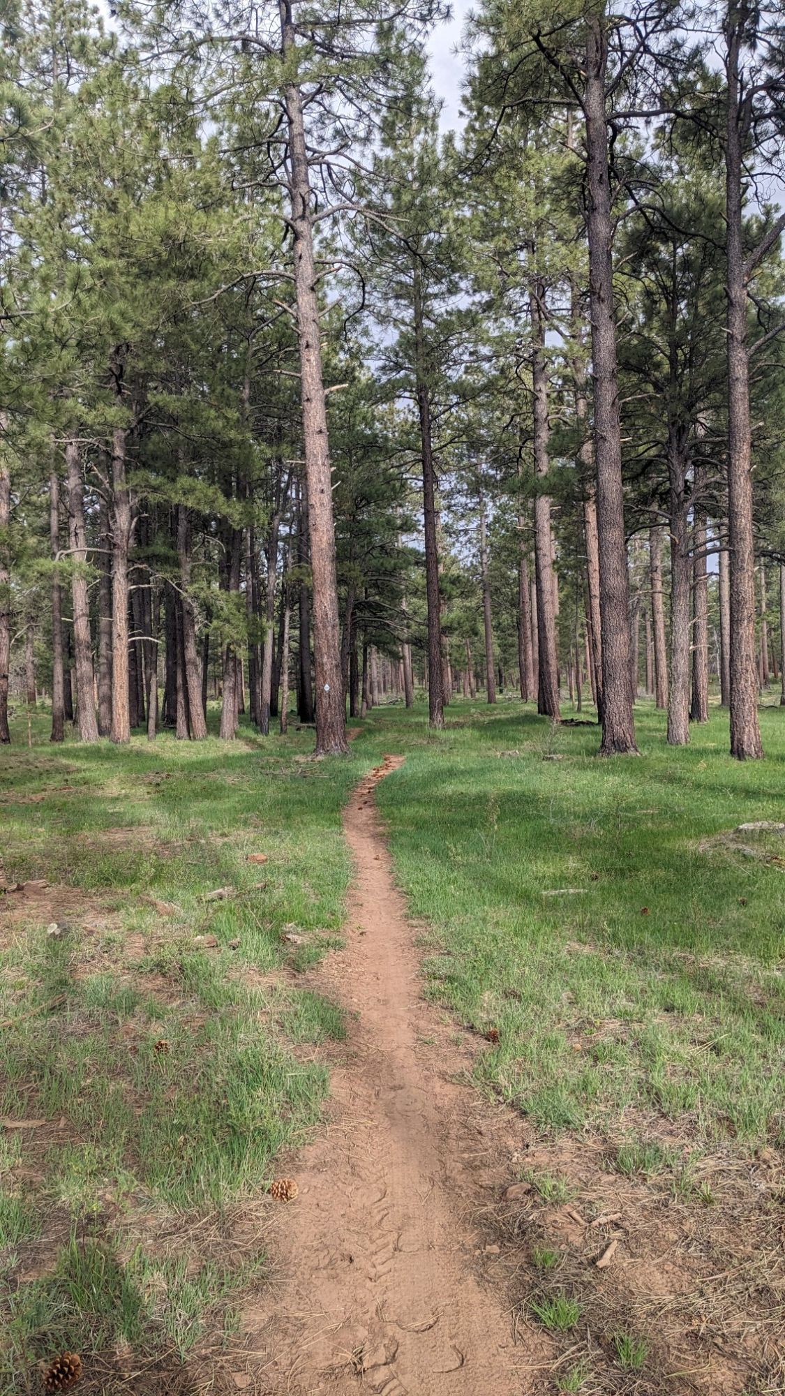
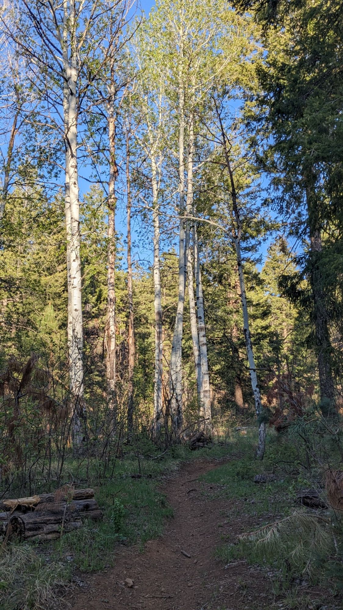
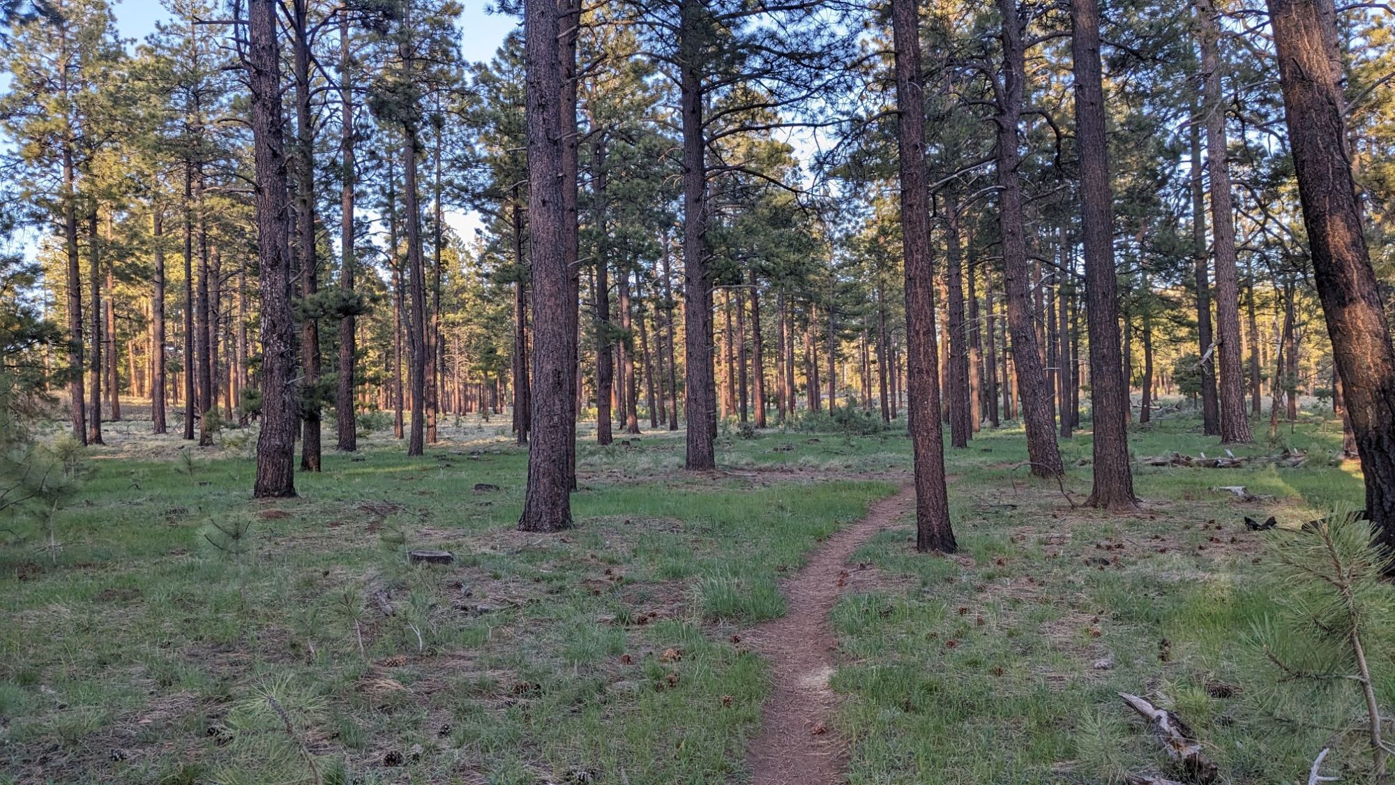
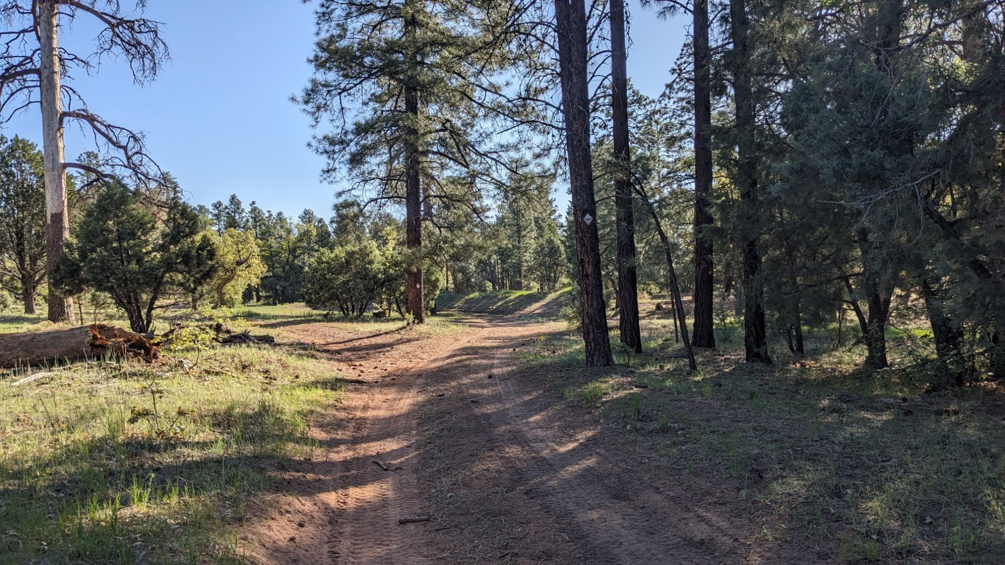
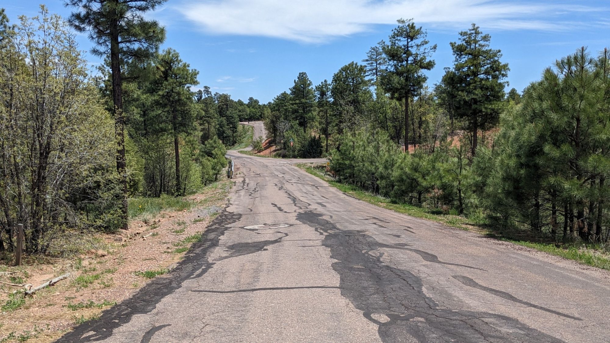
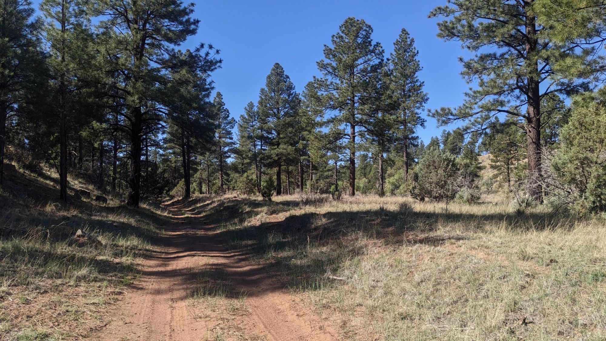
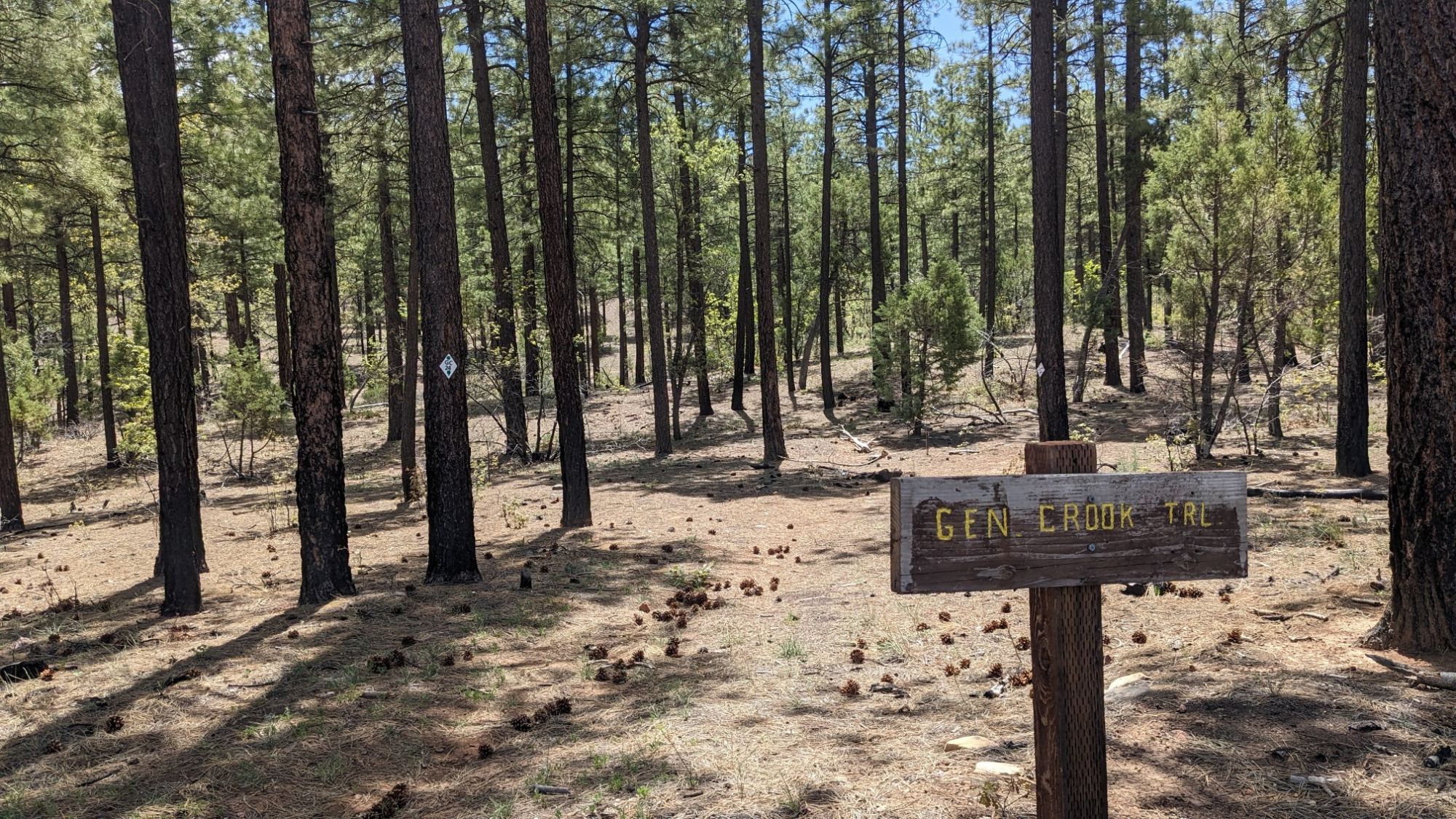
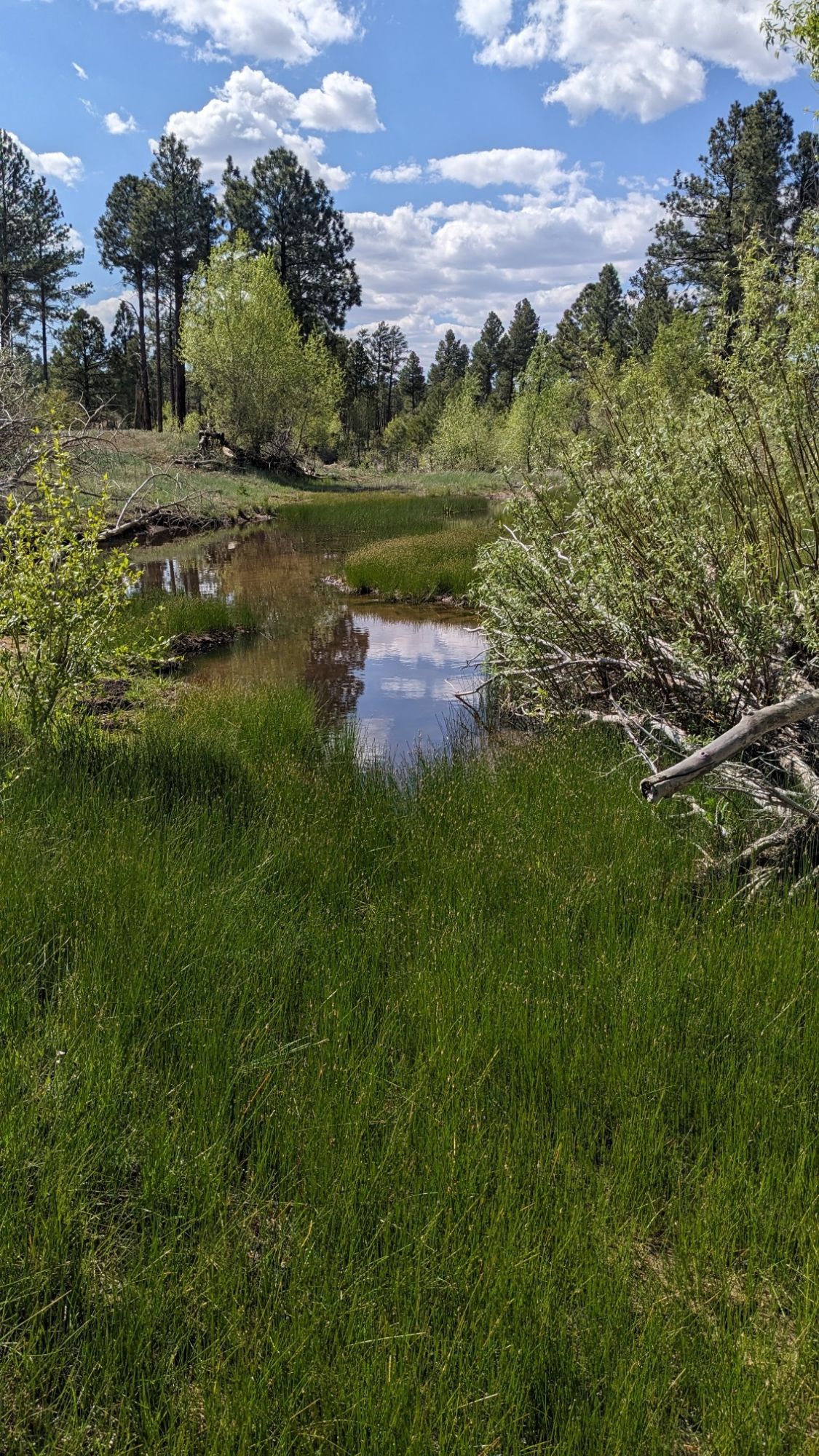
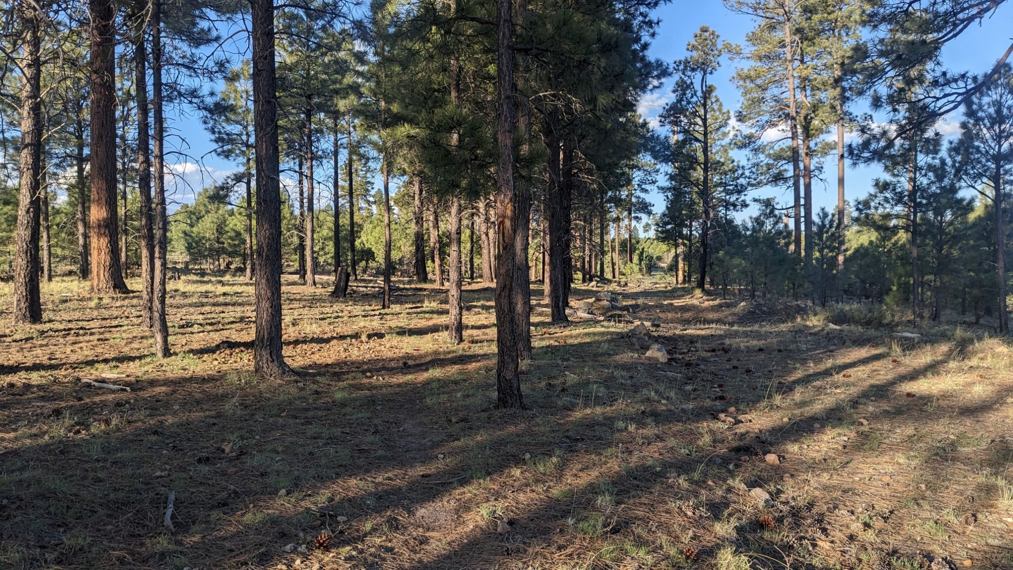
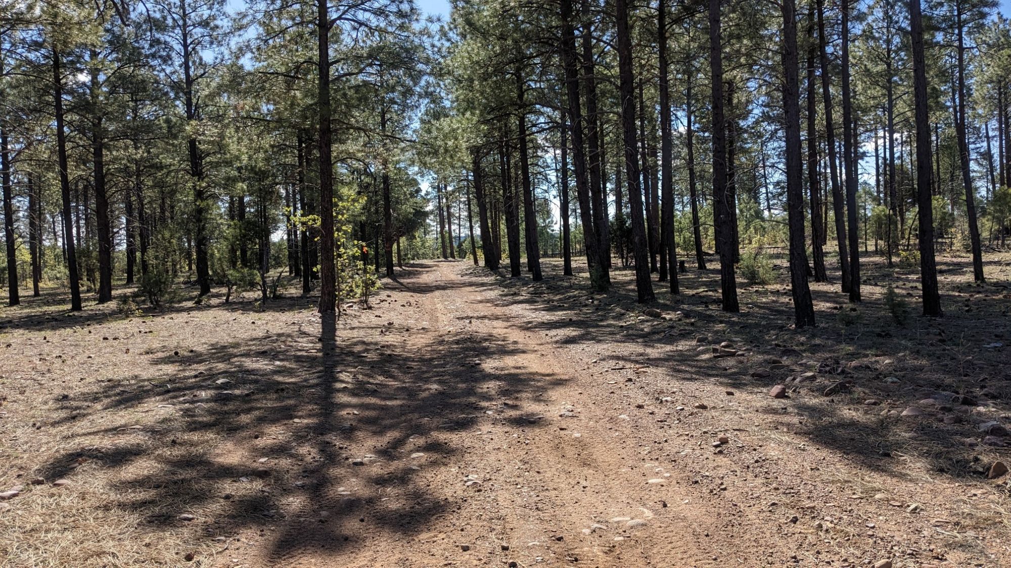
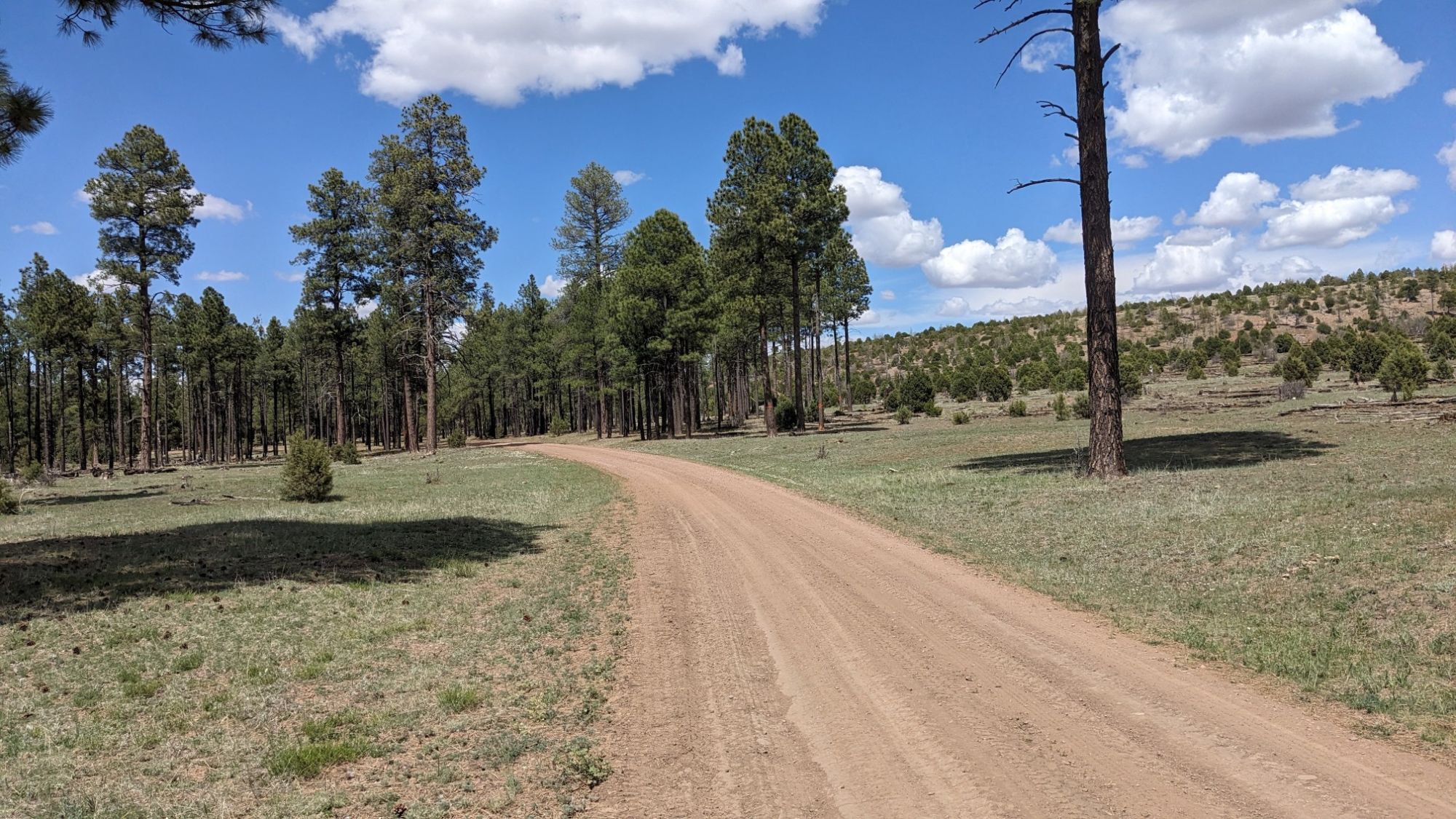
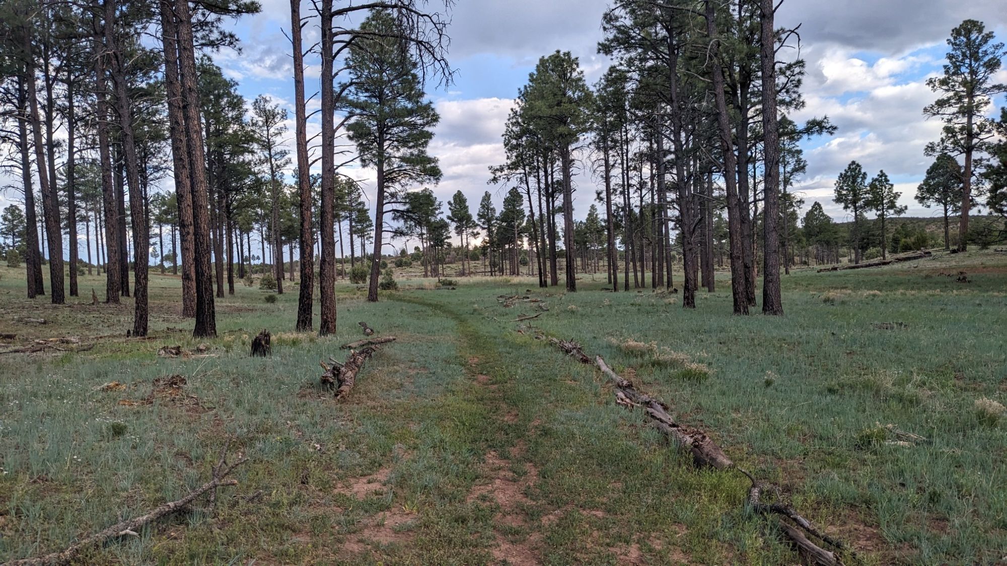
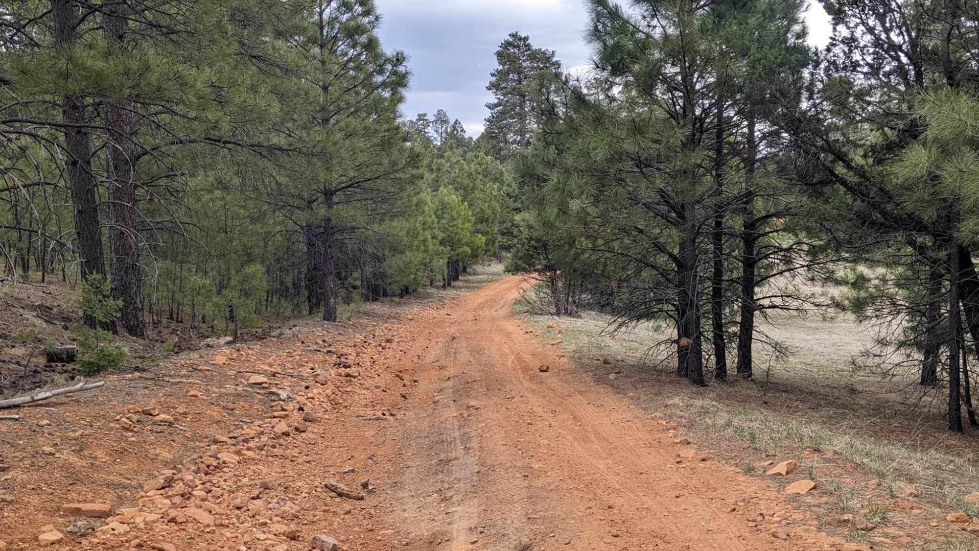
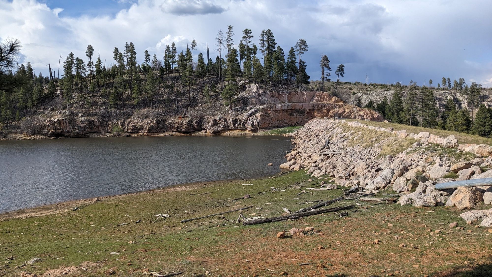
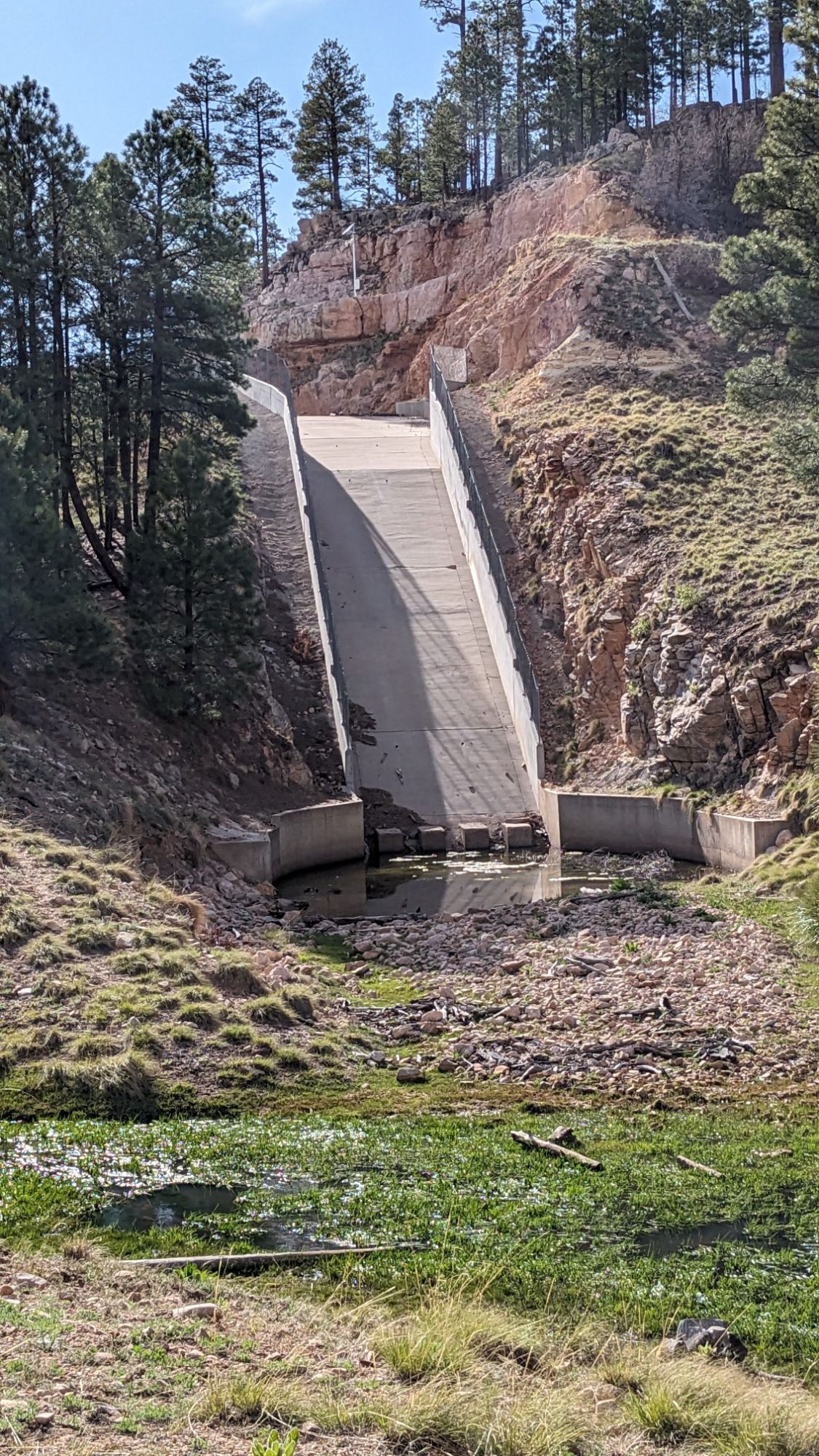
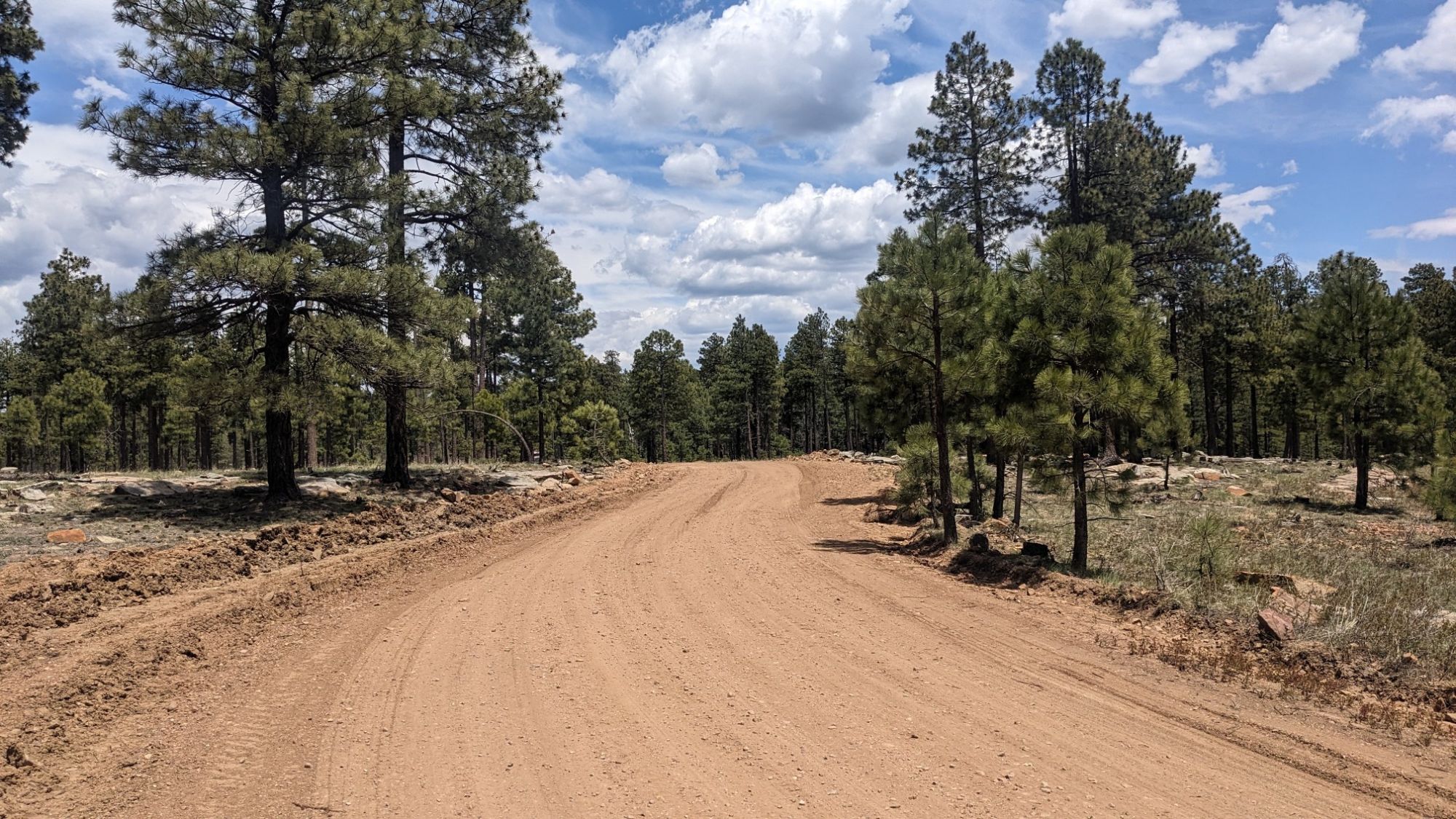
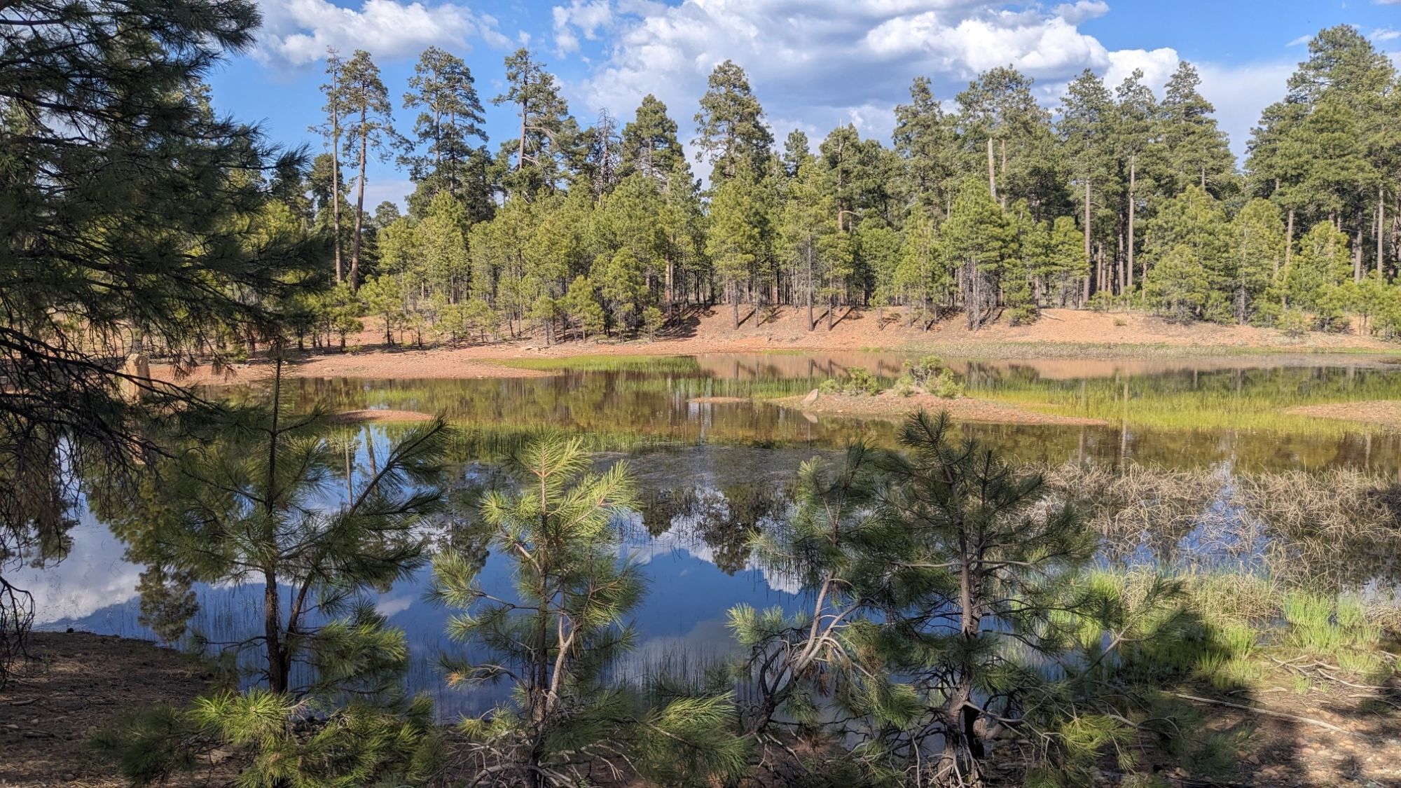
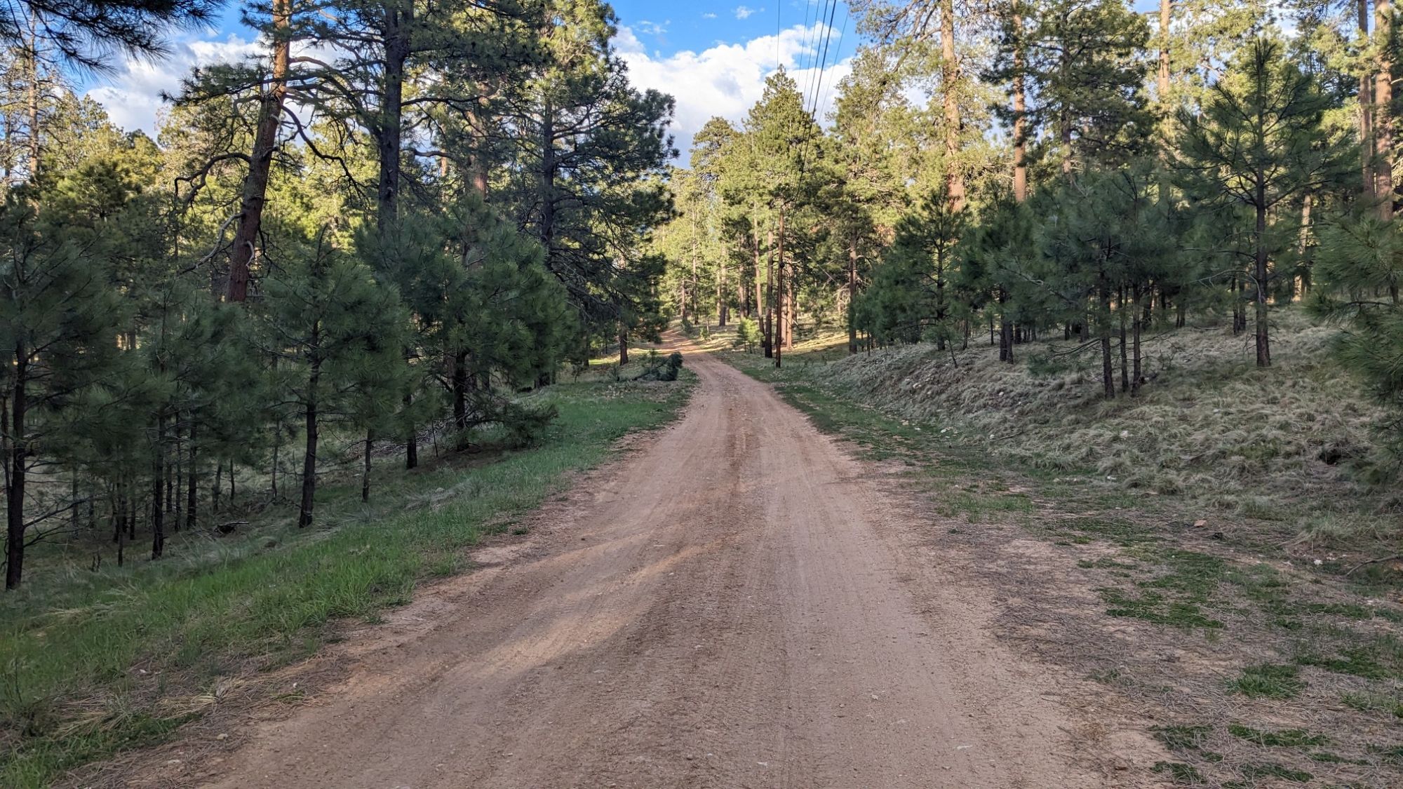
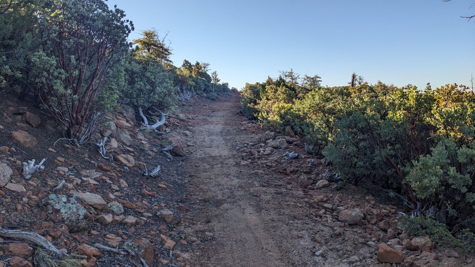
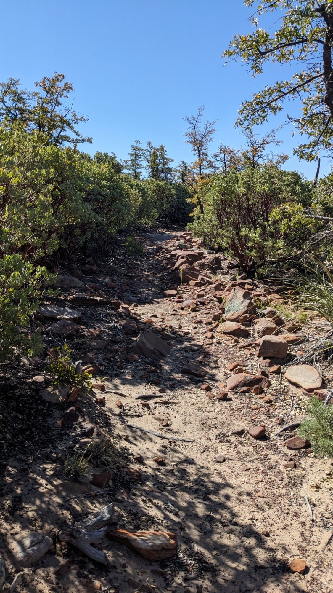
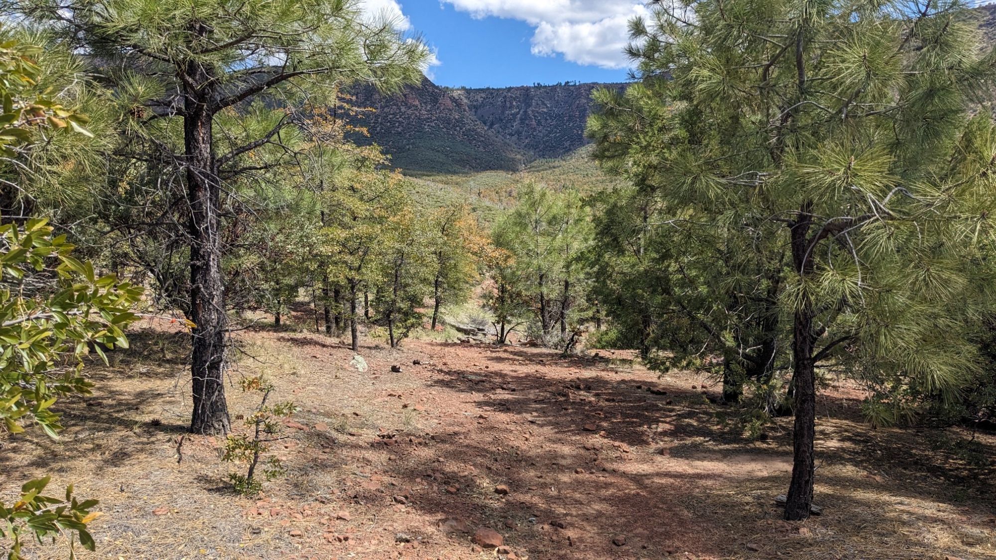
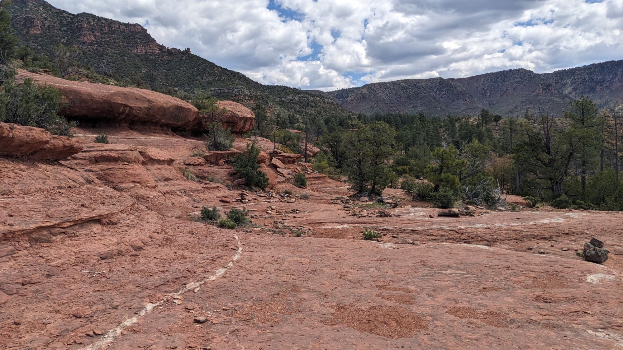
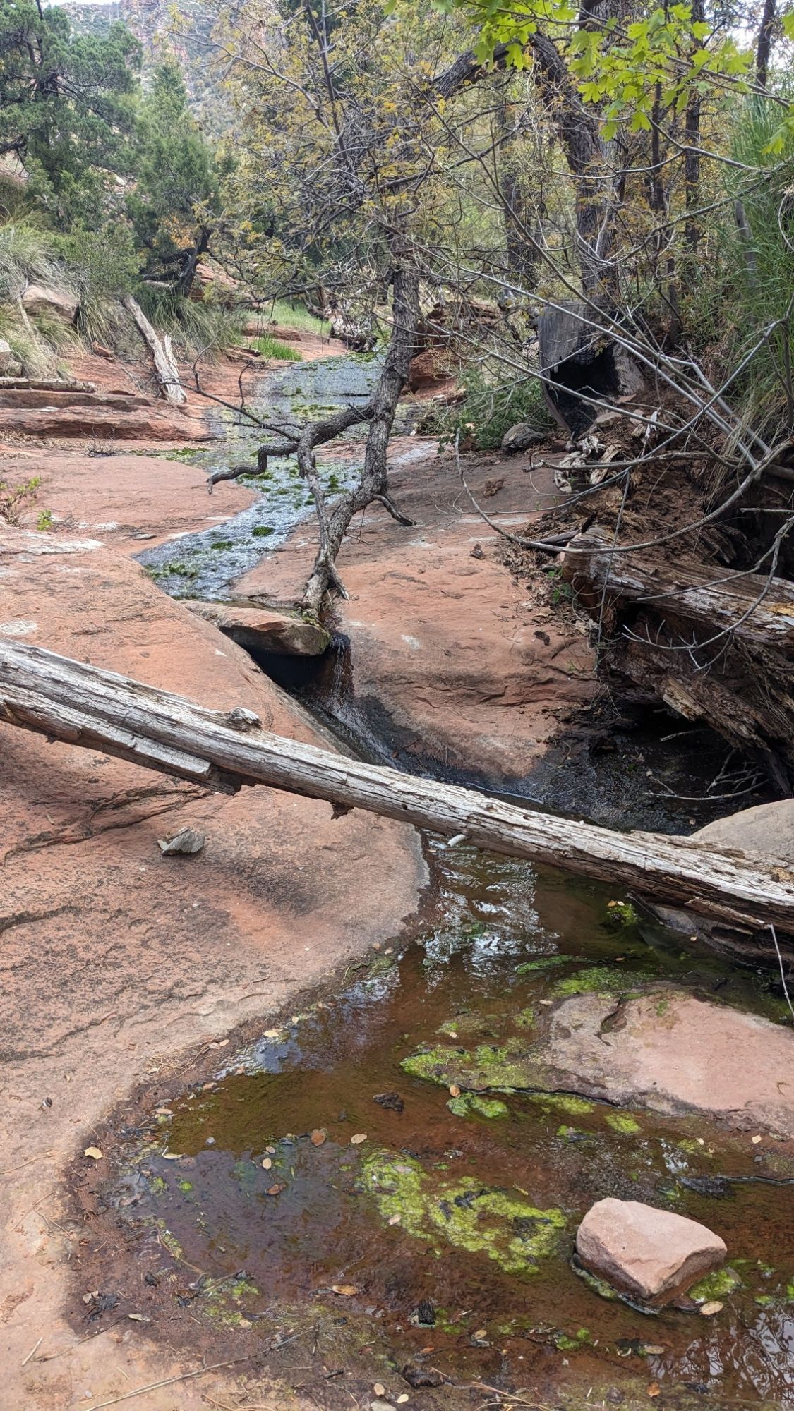
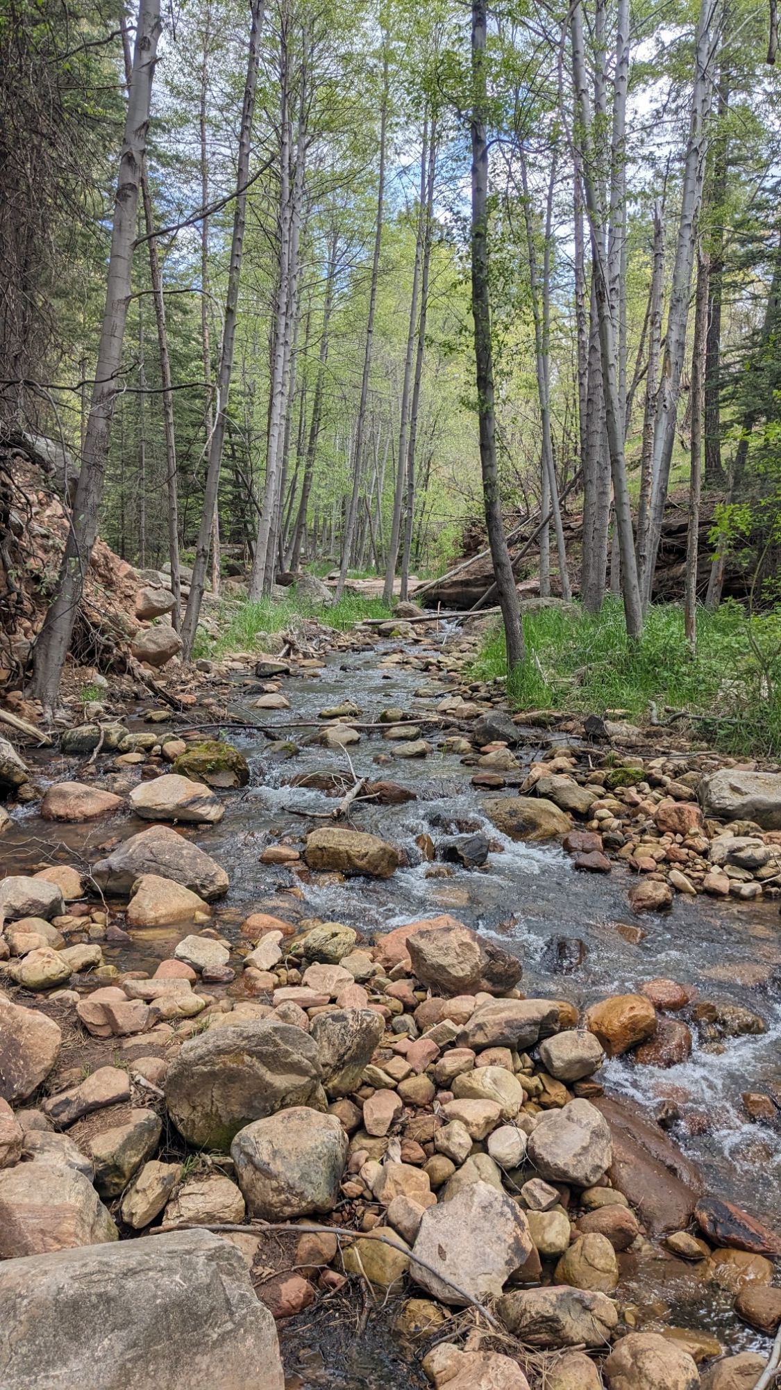
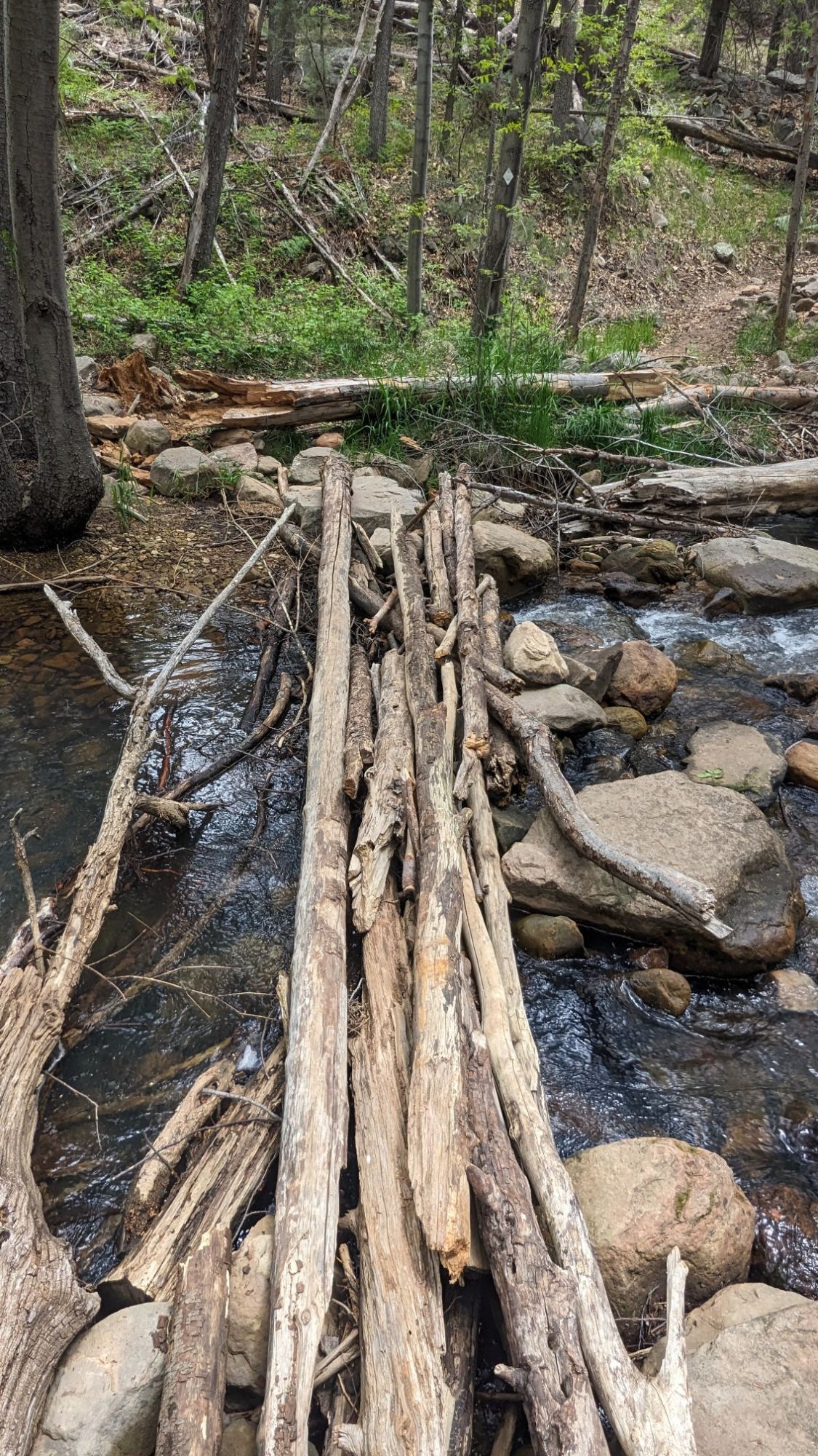
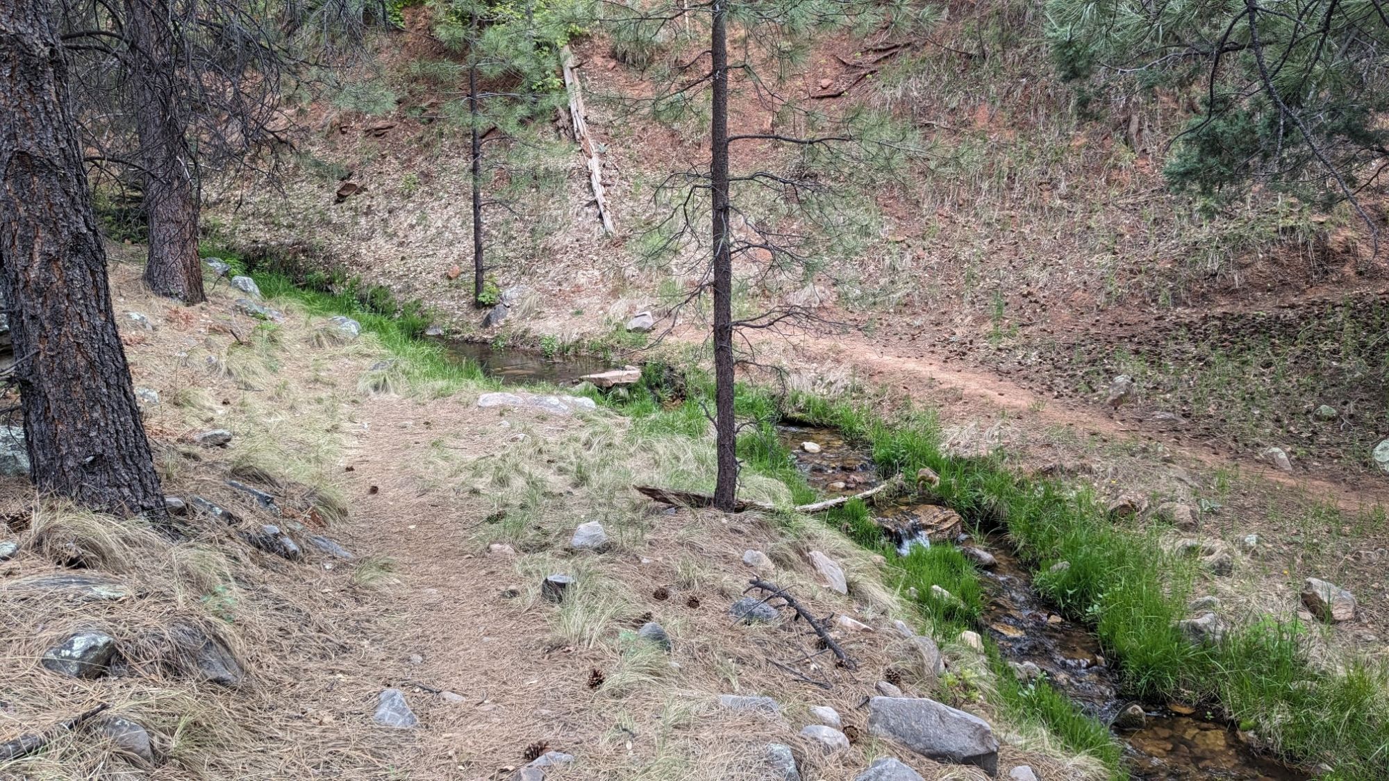
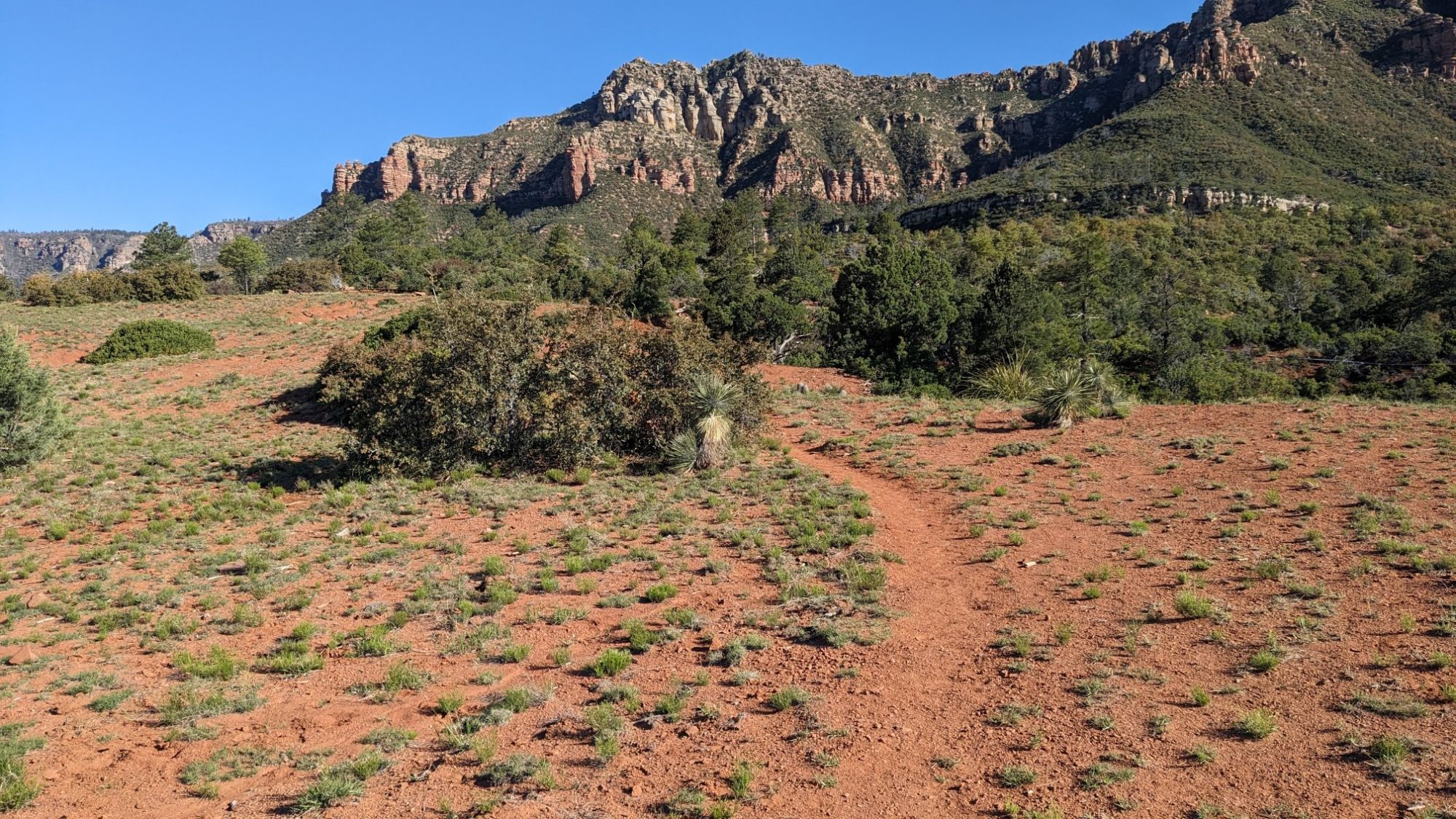
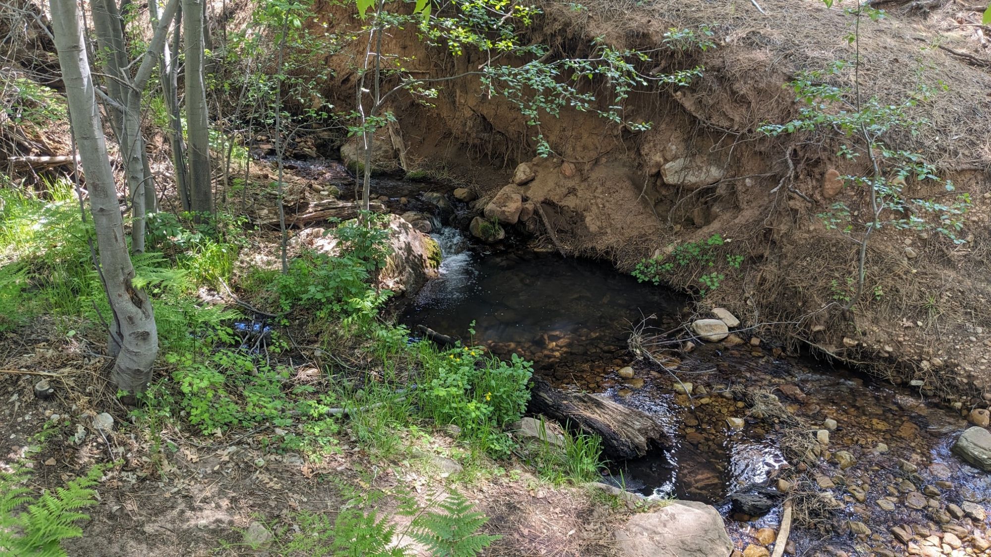
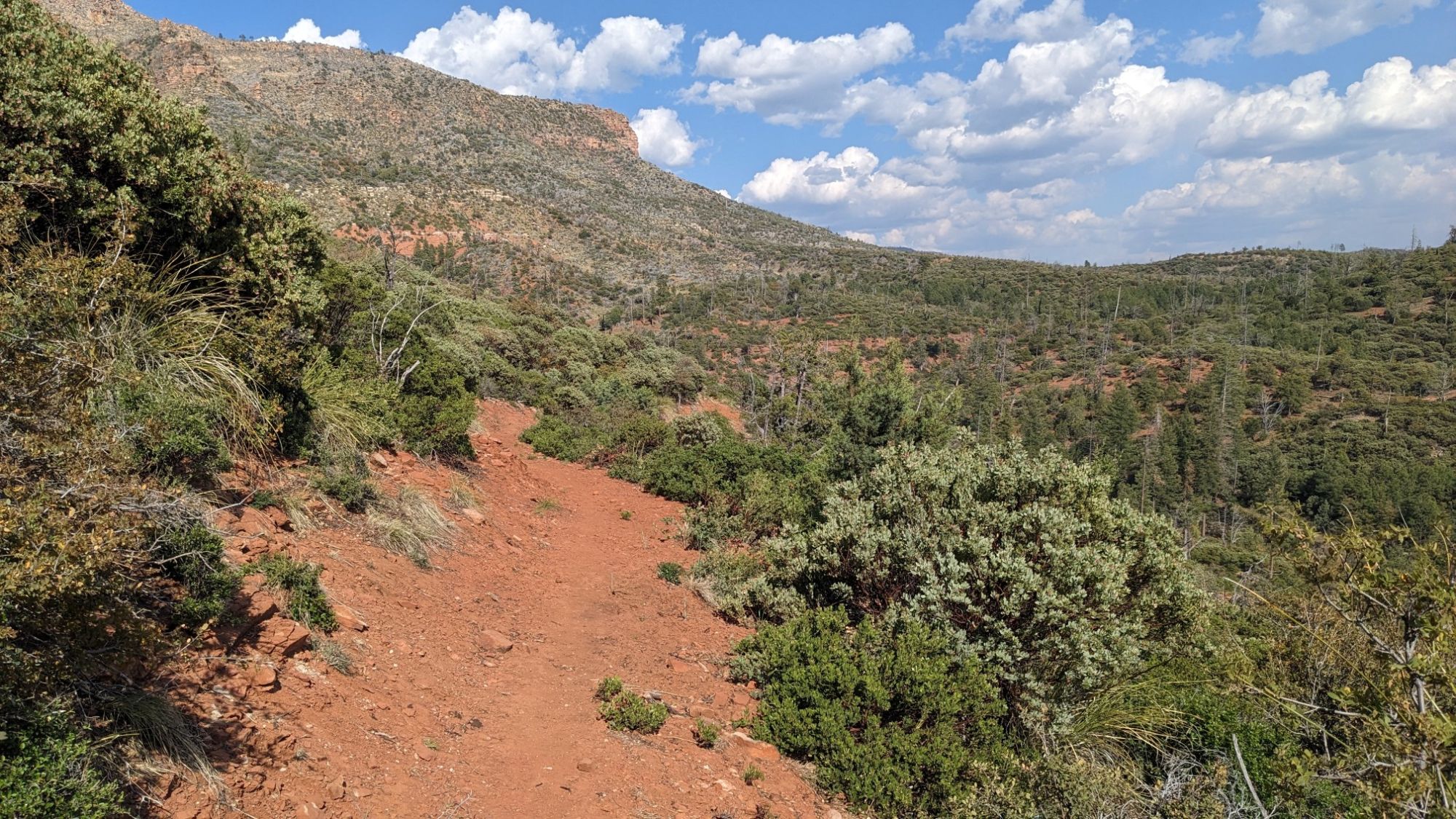
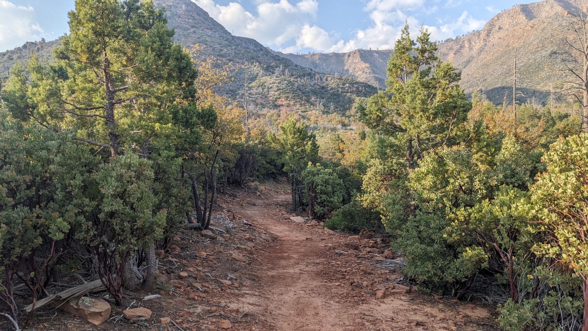
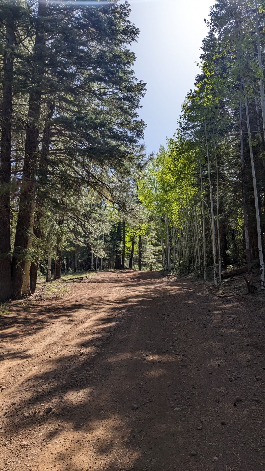
The rest of the day was walking on dirt roads or some short XC sections. And now that I was up over 8,000 ft, there seemed to be water everywhere.

It was nice weather, and hiking in the Sun felt nice but it was a little chilly in the shade.

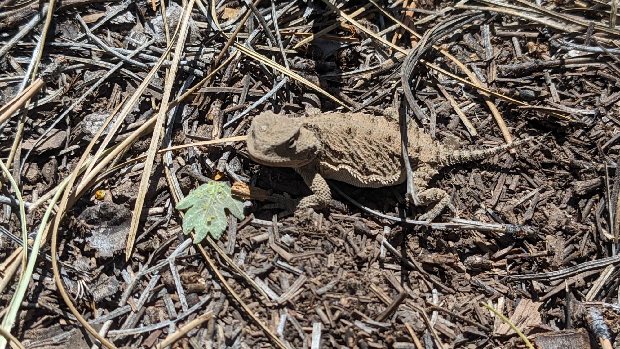
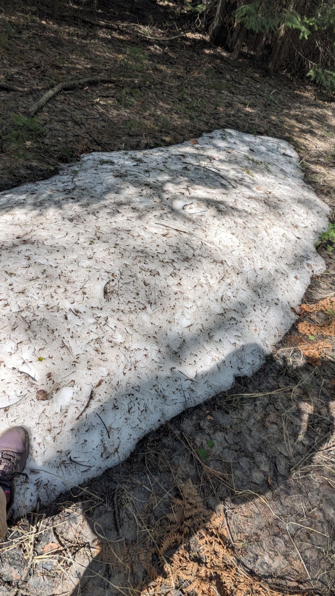
On one of the shaded north-facing slopes, I even found a little patch of snow remaining from the winter!

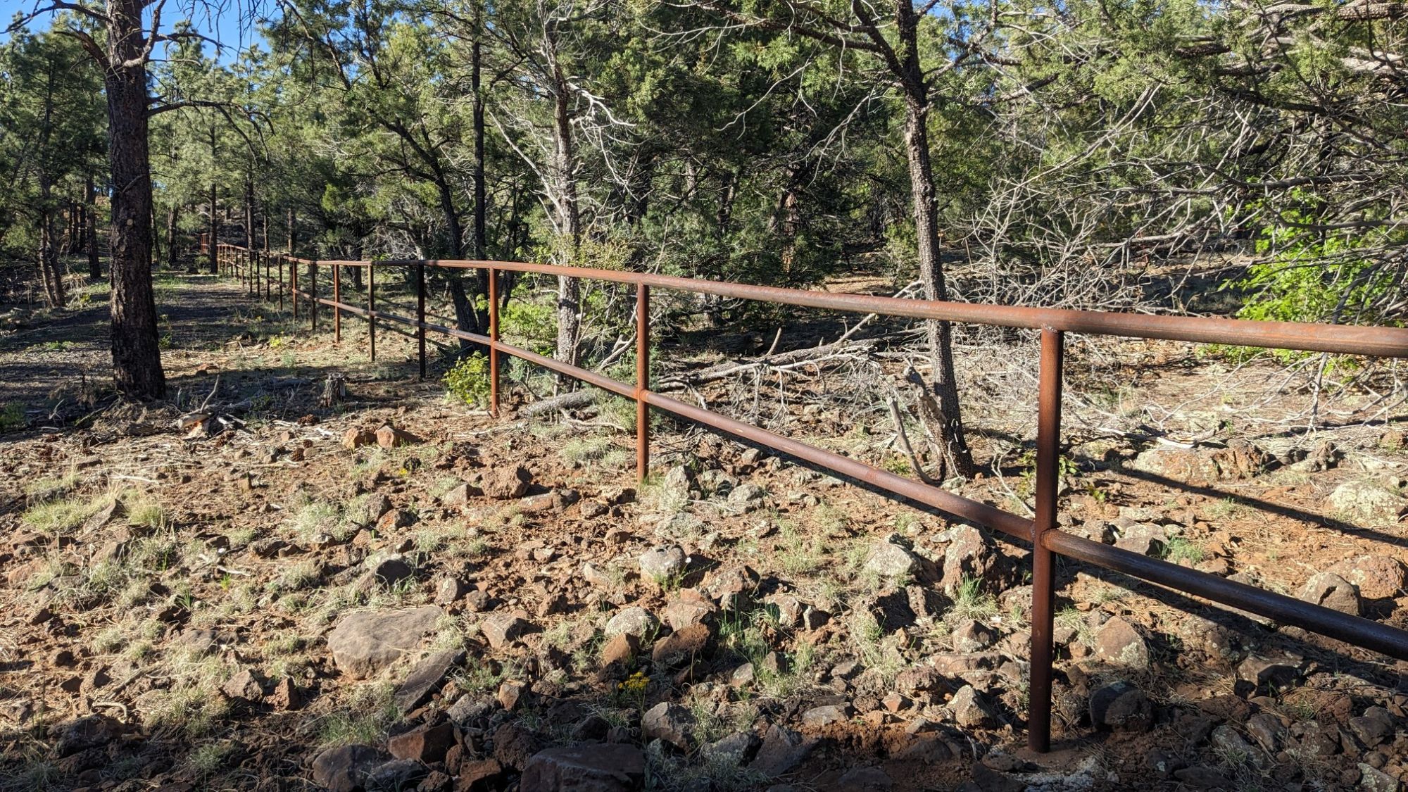
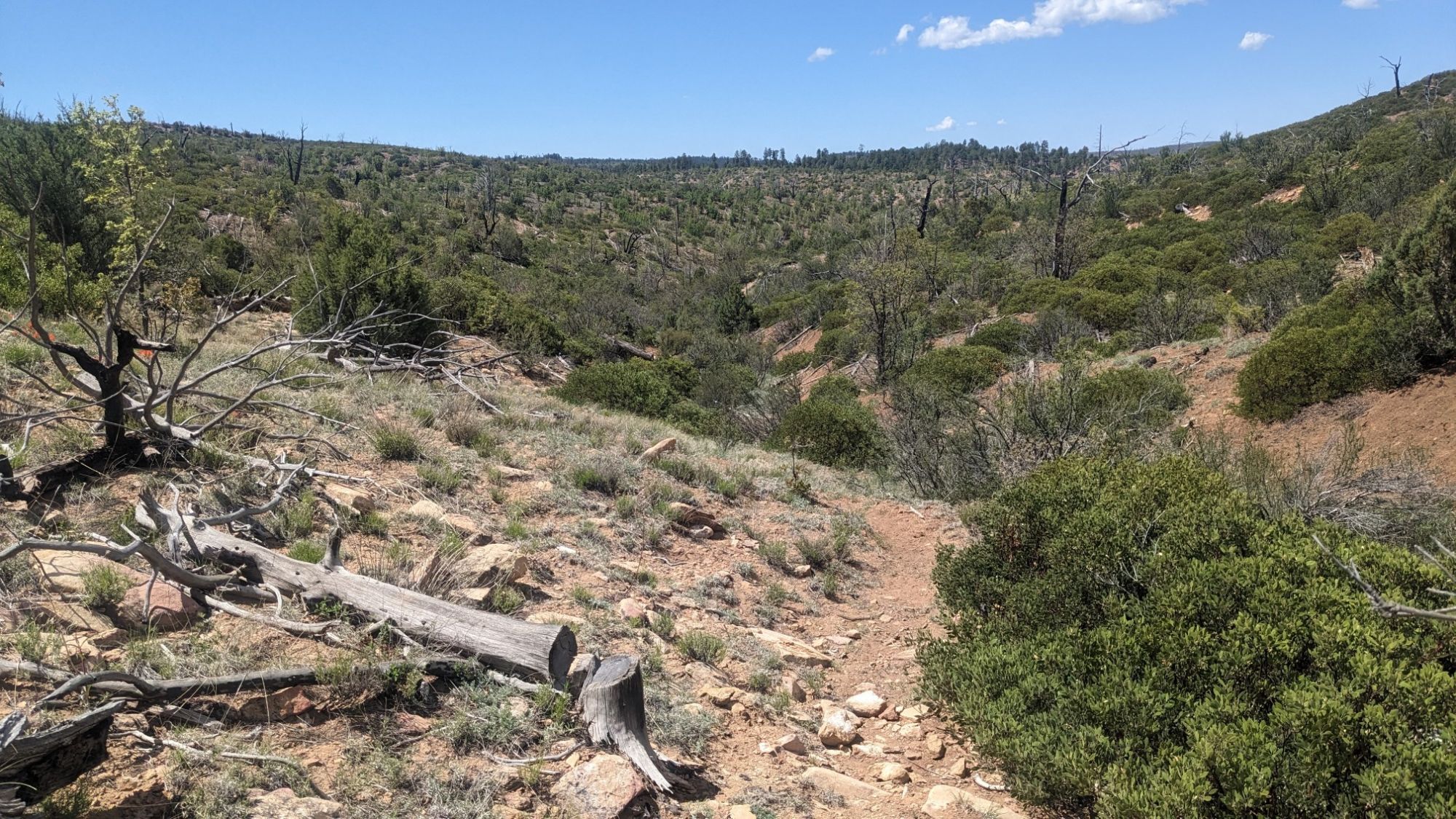
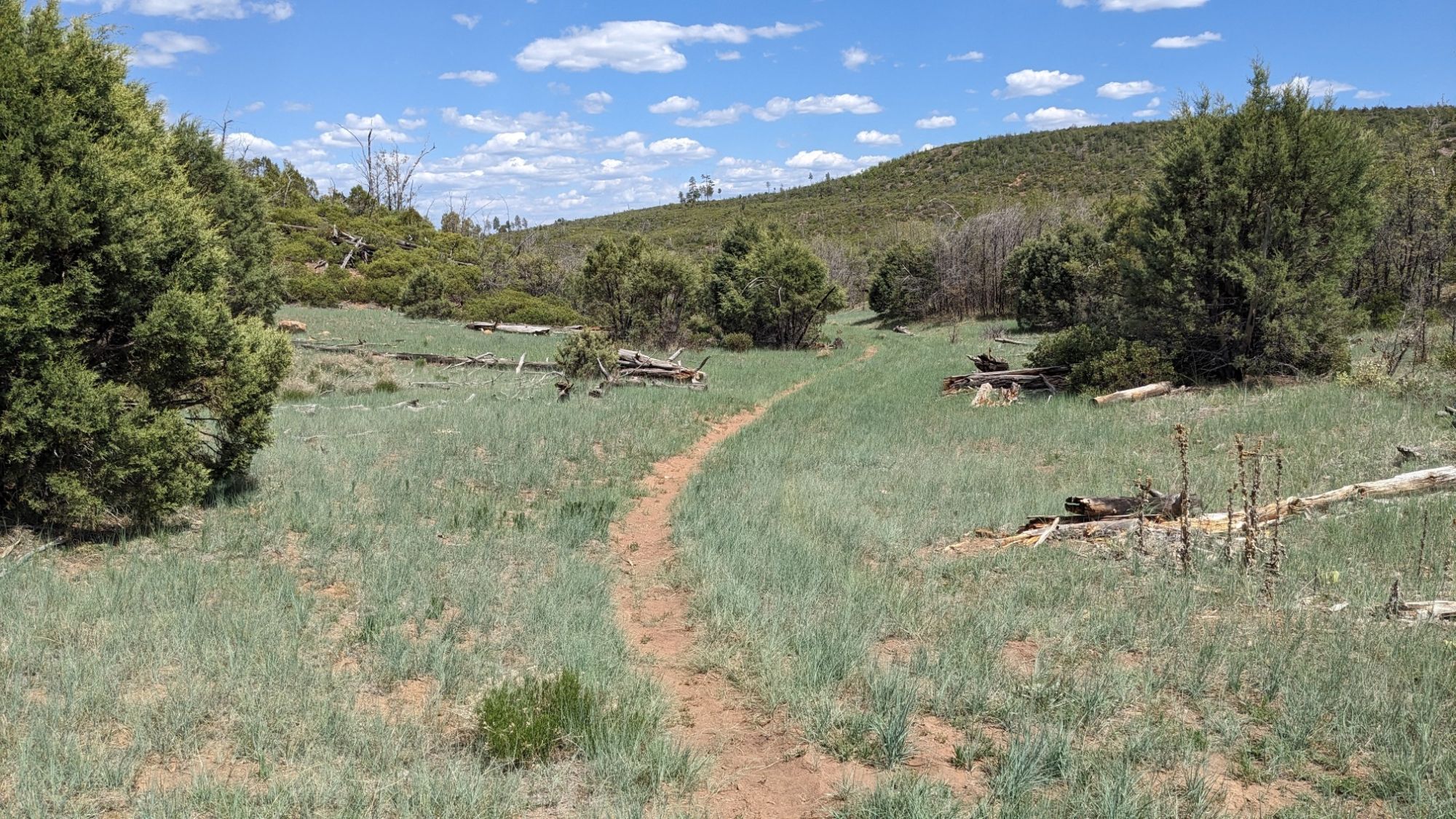
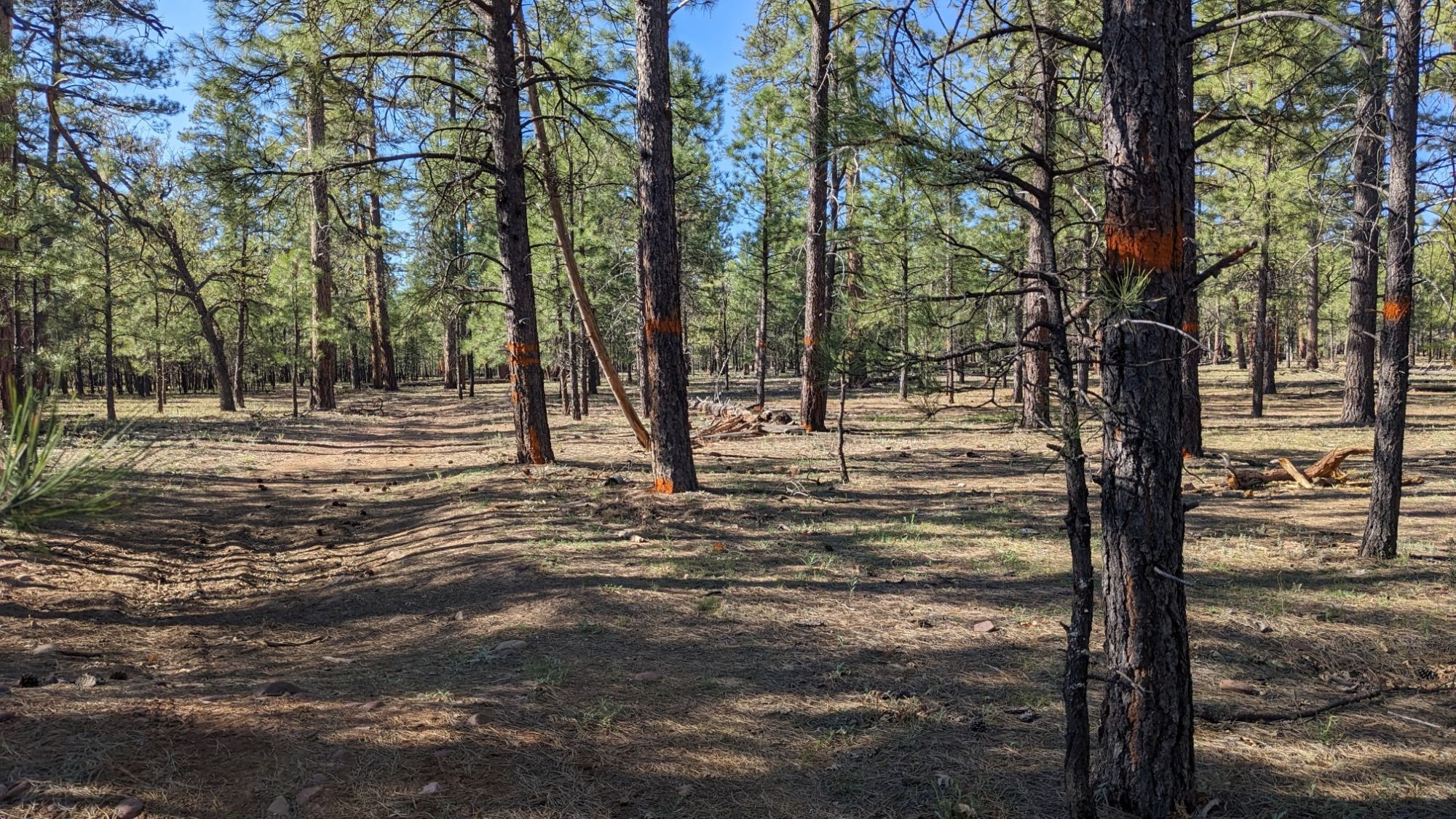
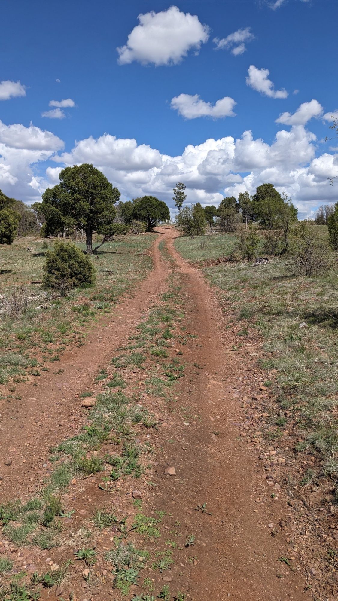
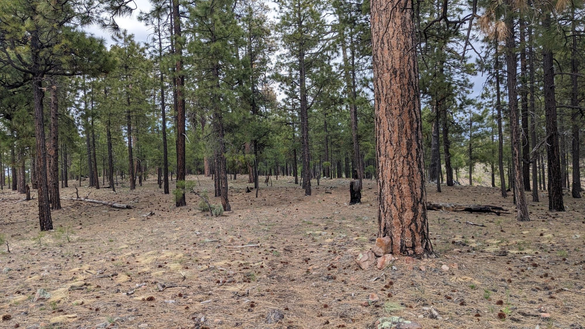
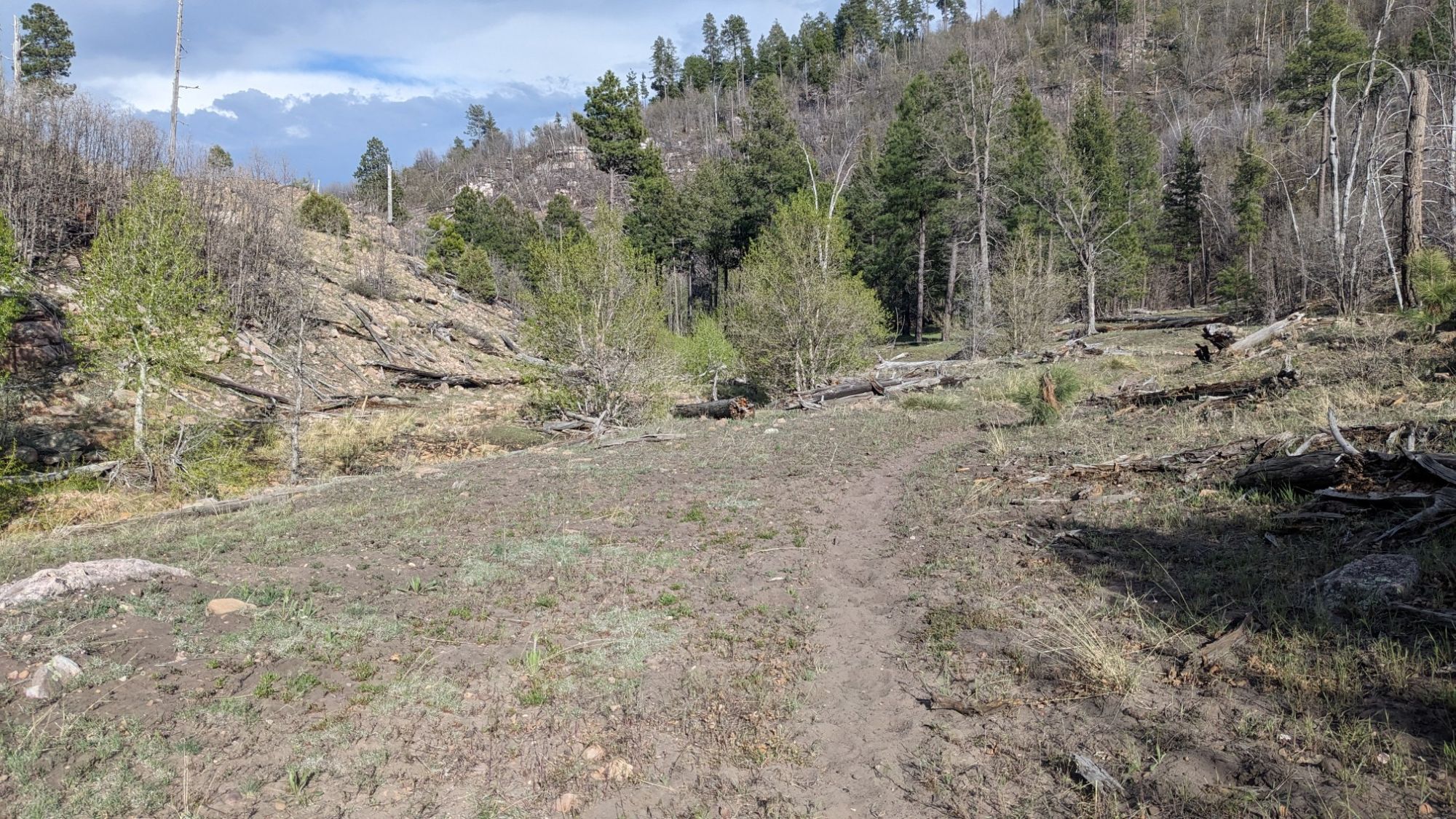
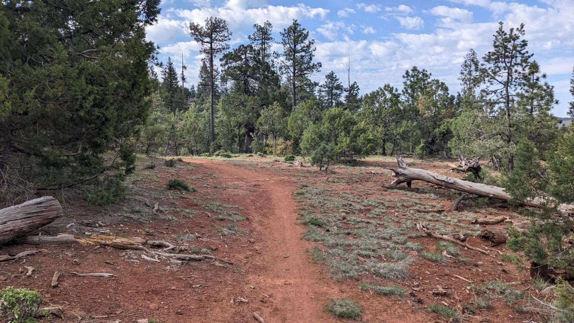
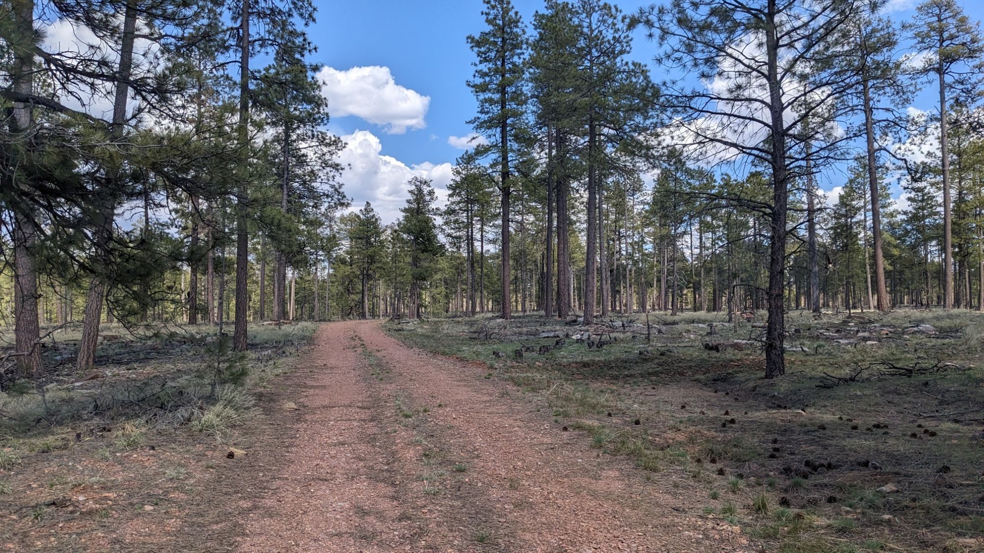
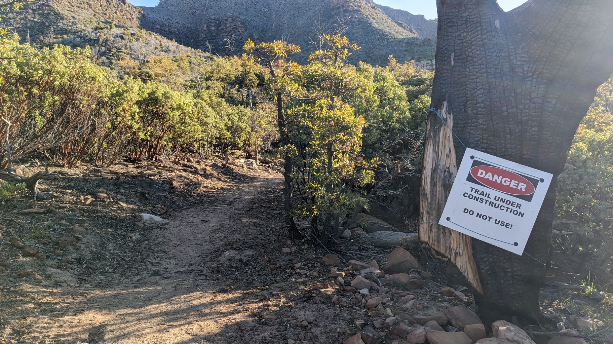
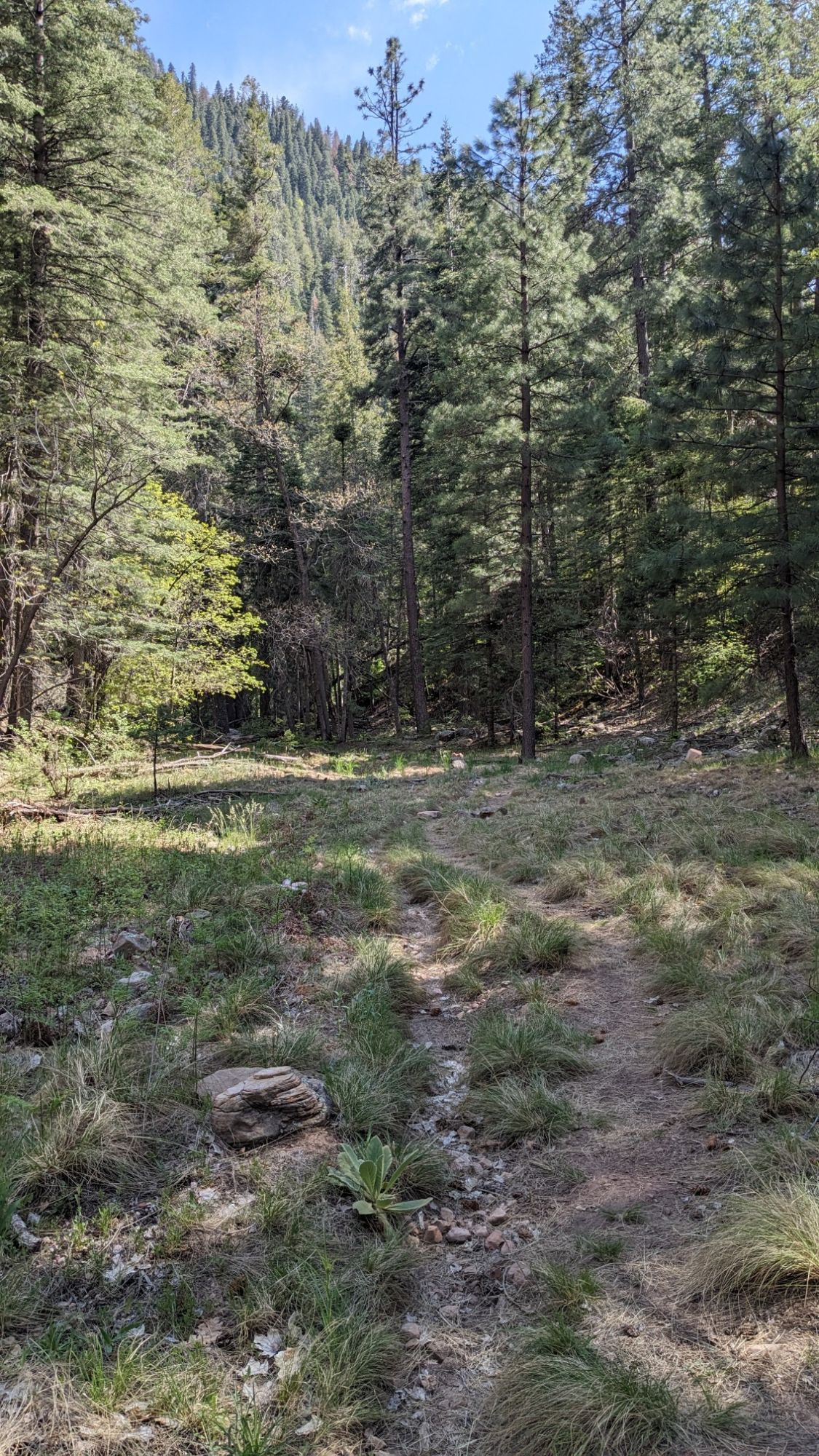
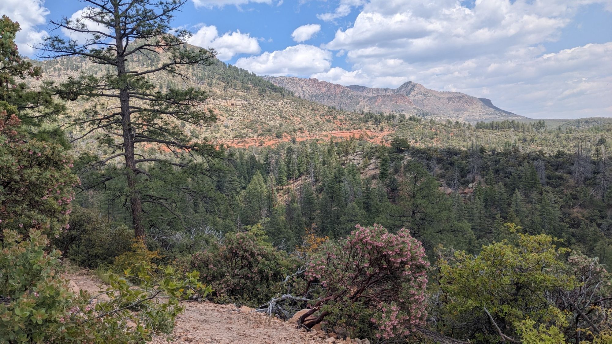
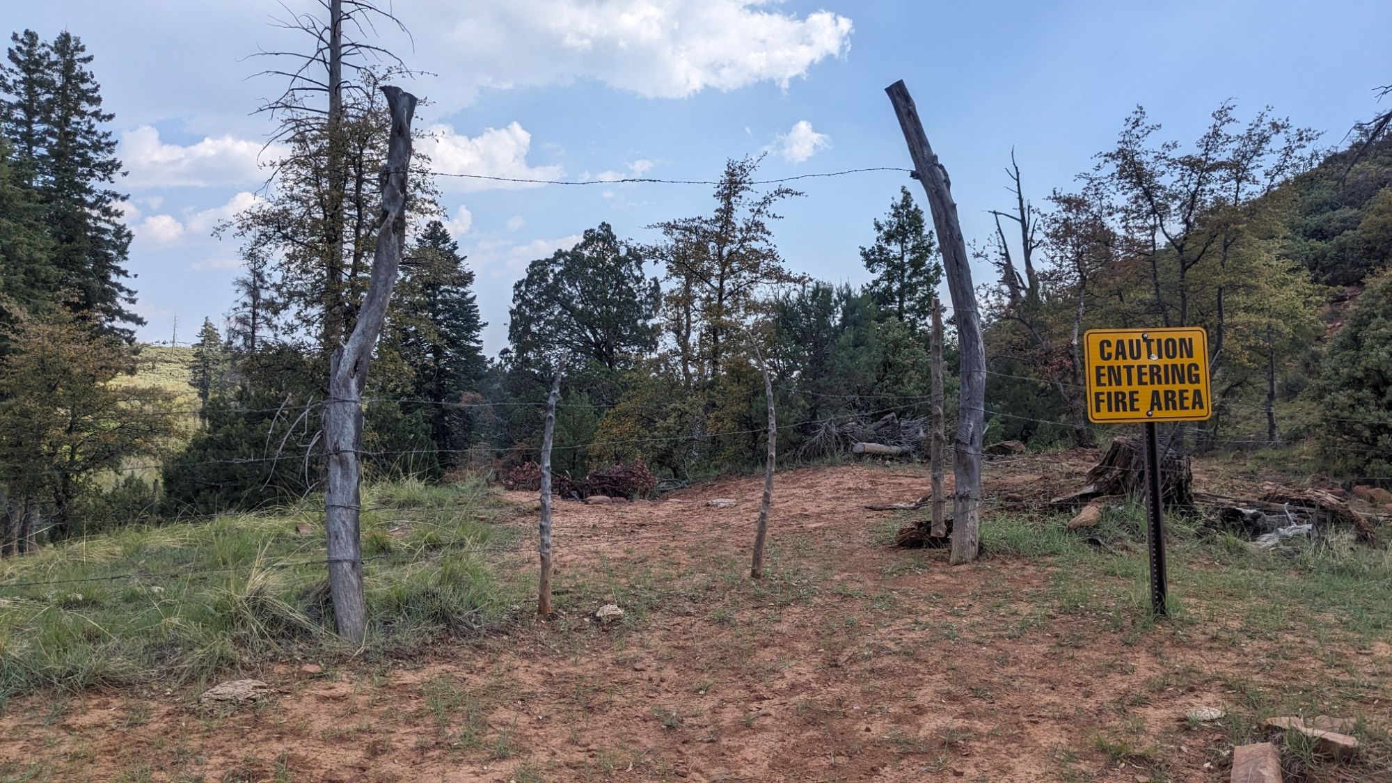
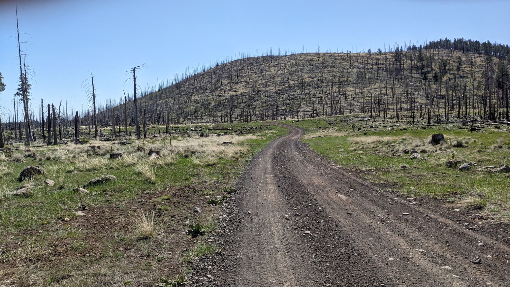
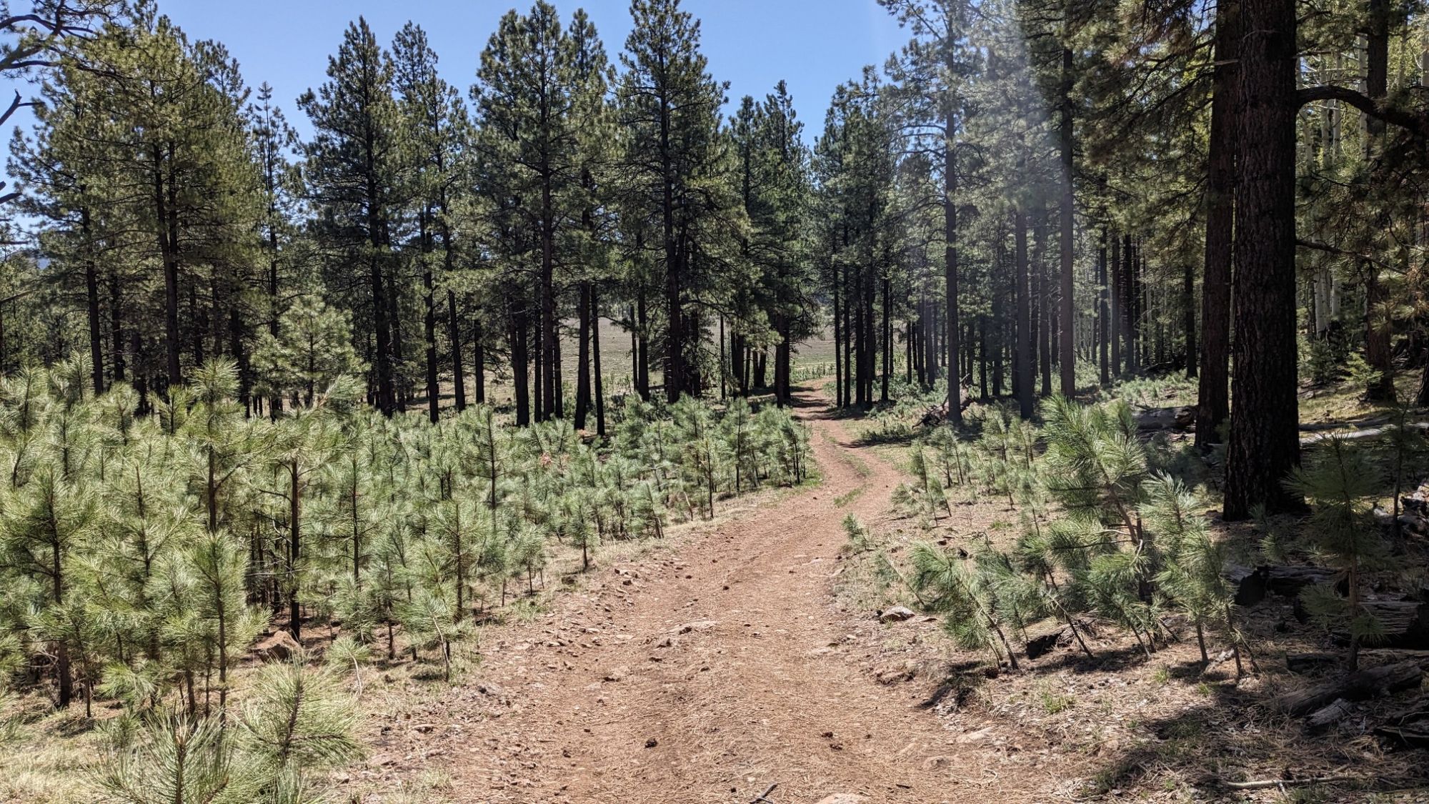
Next, I hiked through a burn area which of course had very little shade.

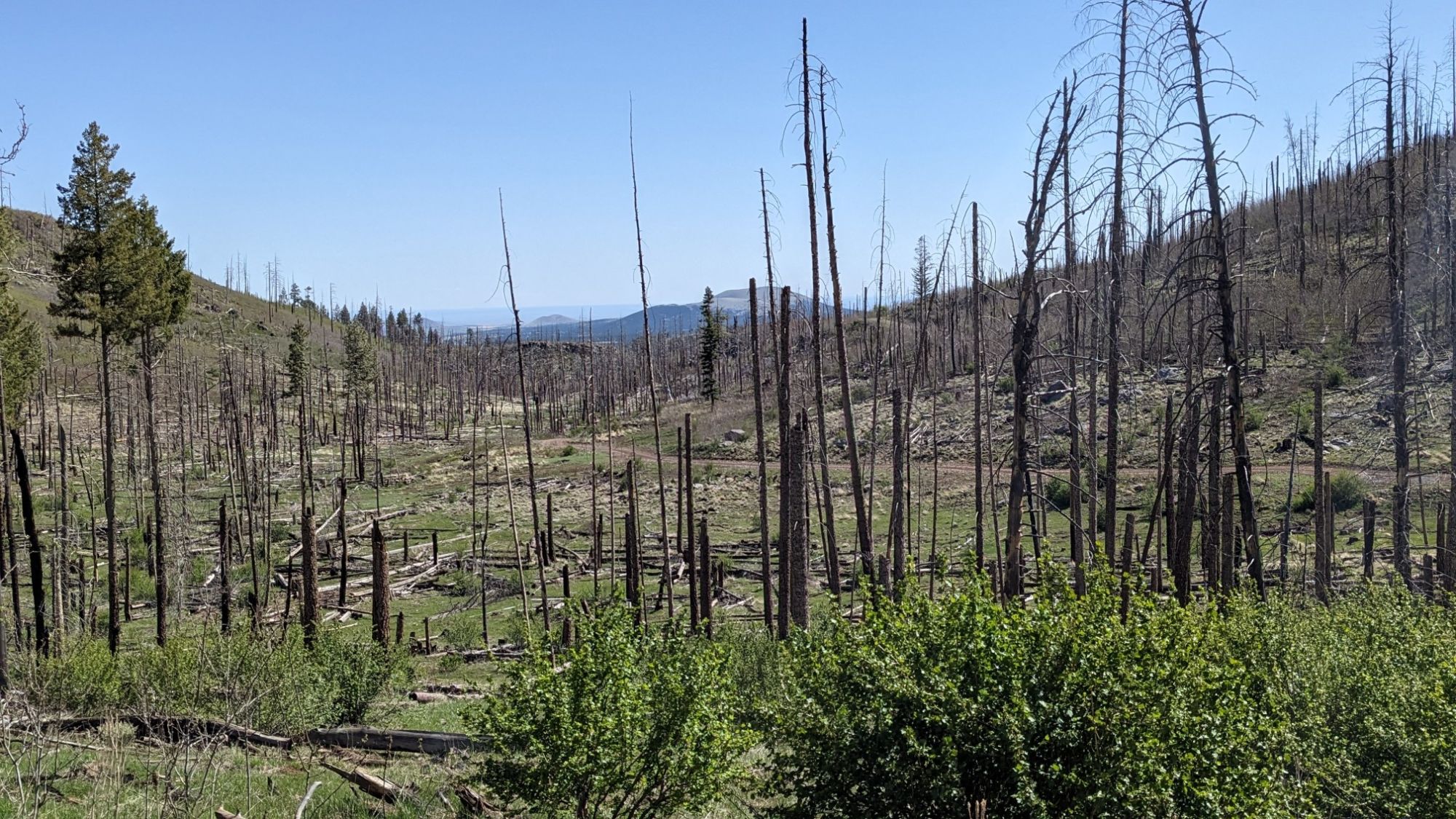
There was a massive fire here in 2014, and even 10 years later it looked like it had barely recovered.

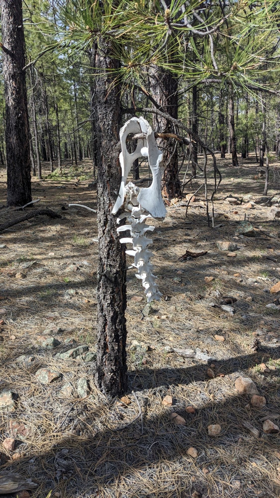
Near the edge of the burn zone I noticed that some young pine trees had started to take root. It was cool to see the juxtaposition of the very small trees against the very tall older trees.

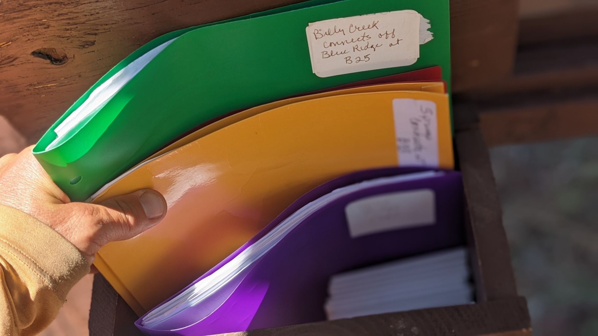
The databook for this trail lists every waypoint, turn, junction, and water source. Today there were many more water sources than the guide had listed.

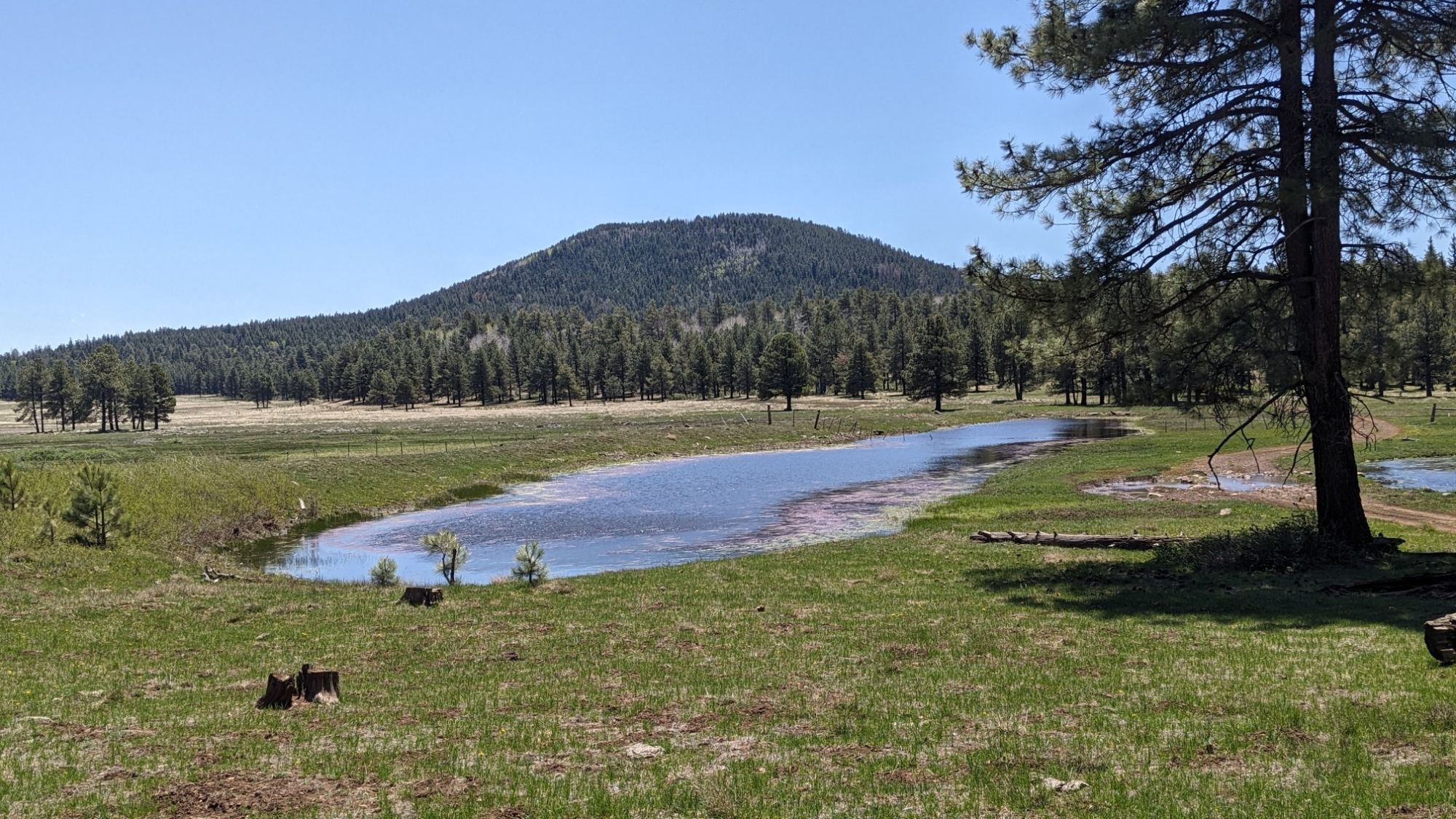
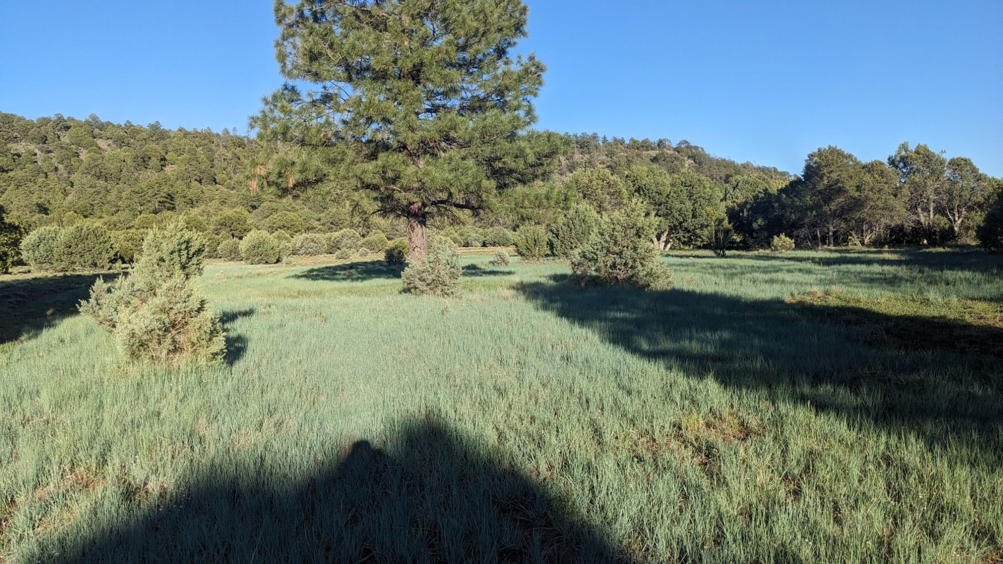
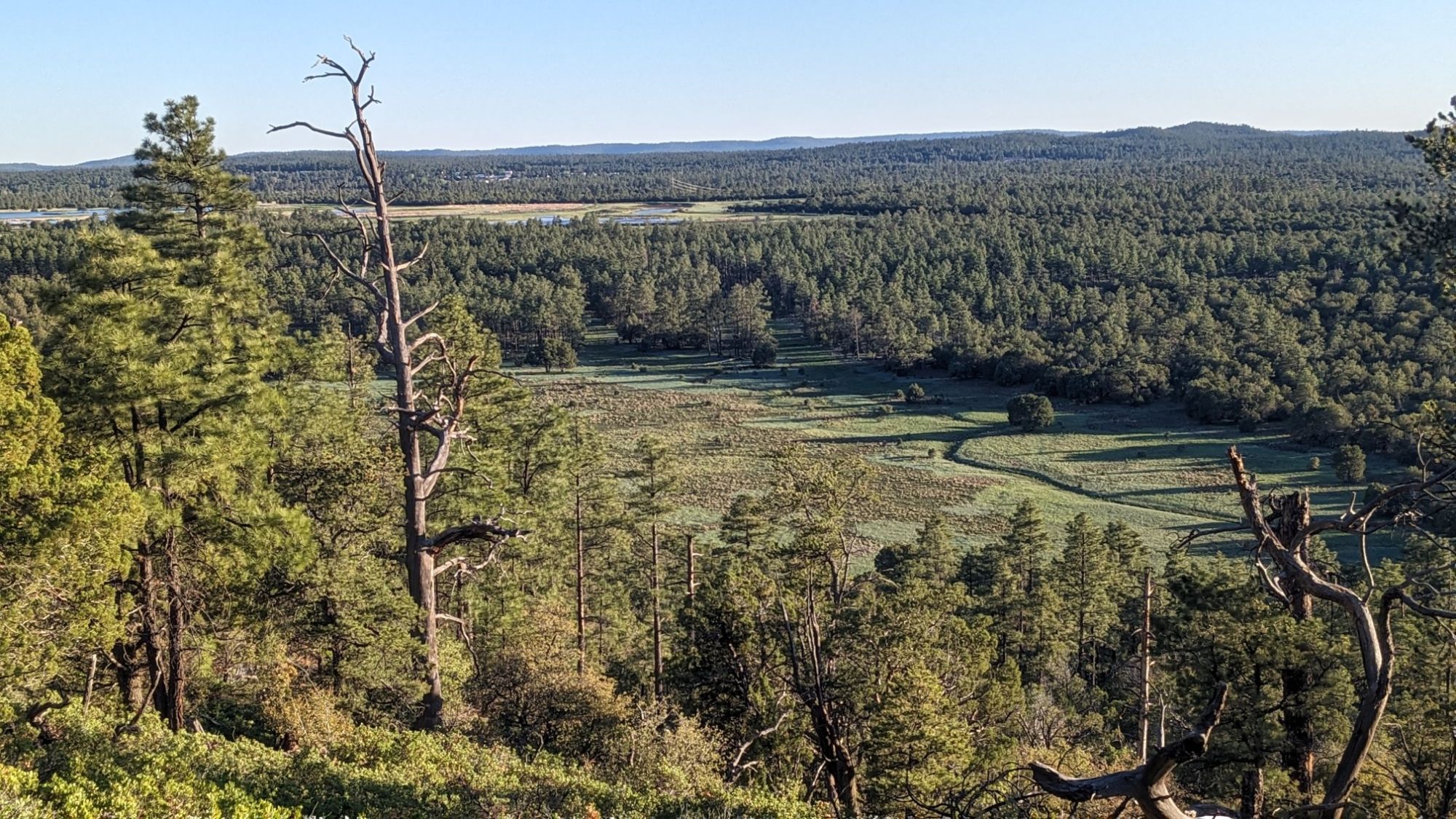
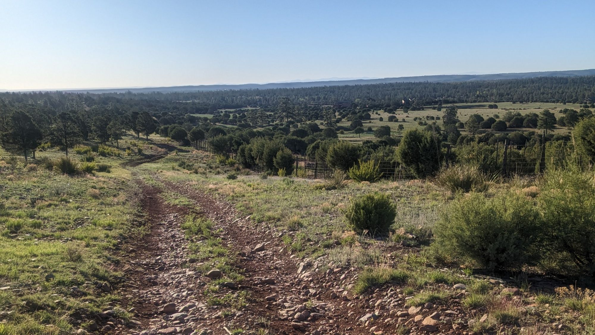
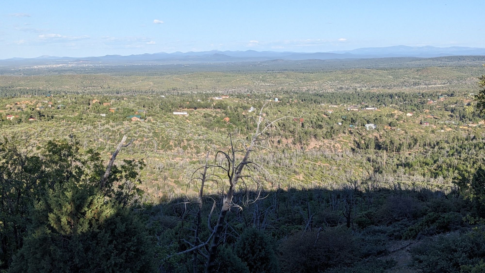
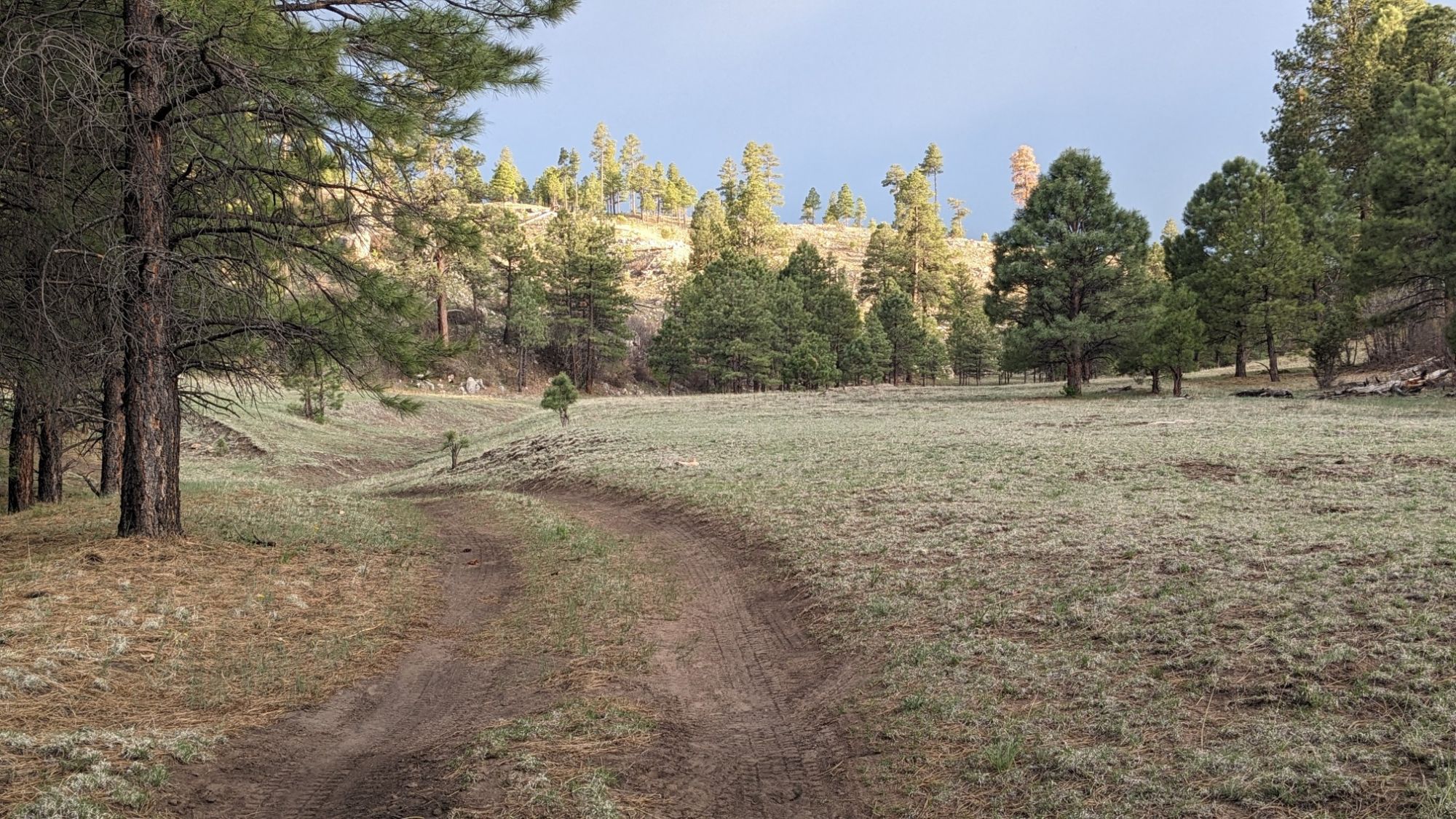
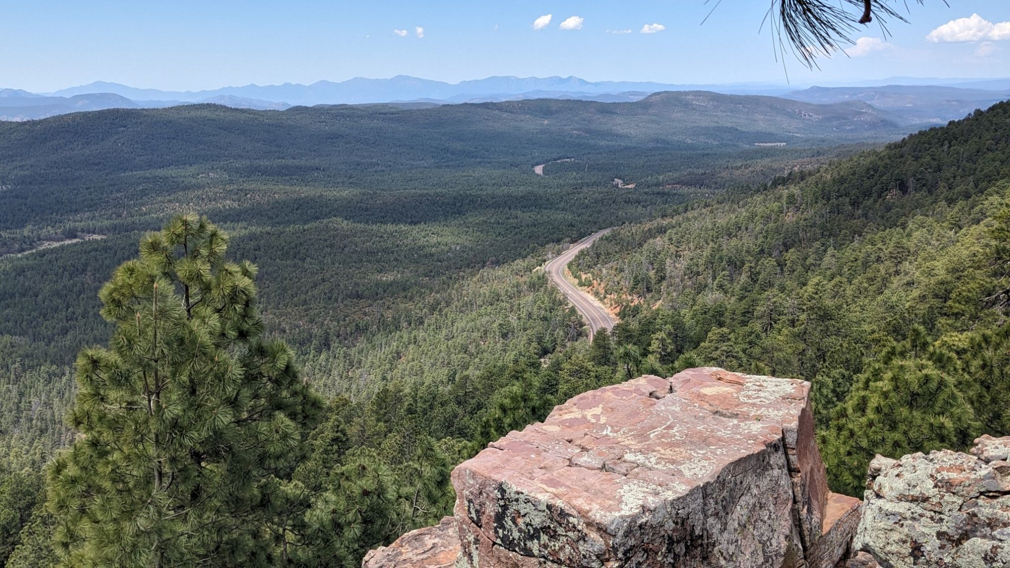
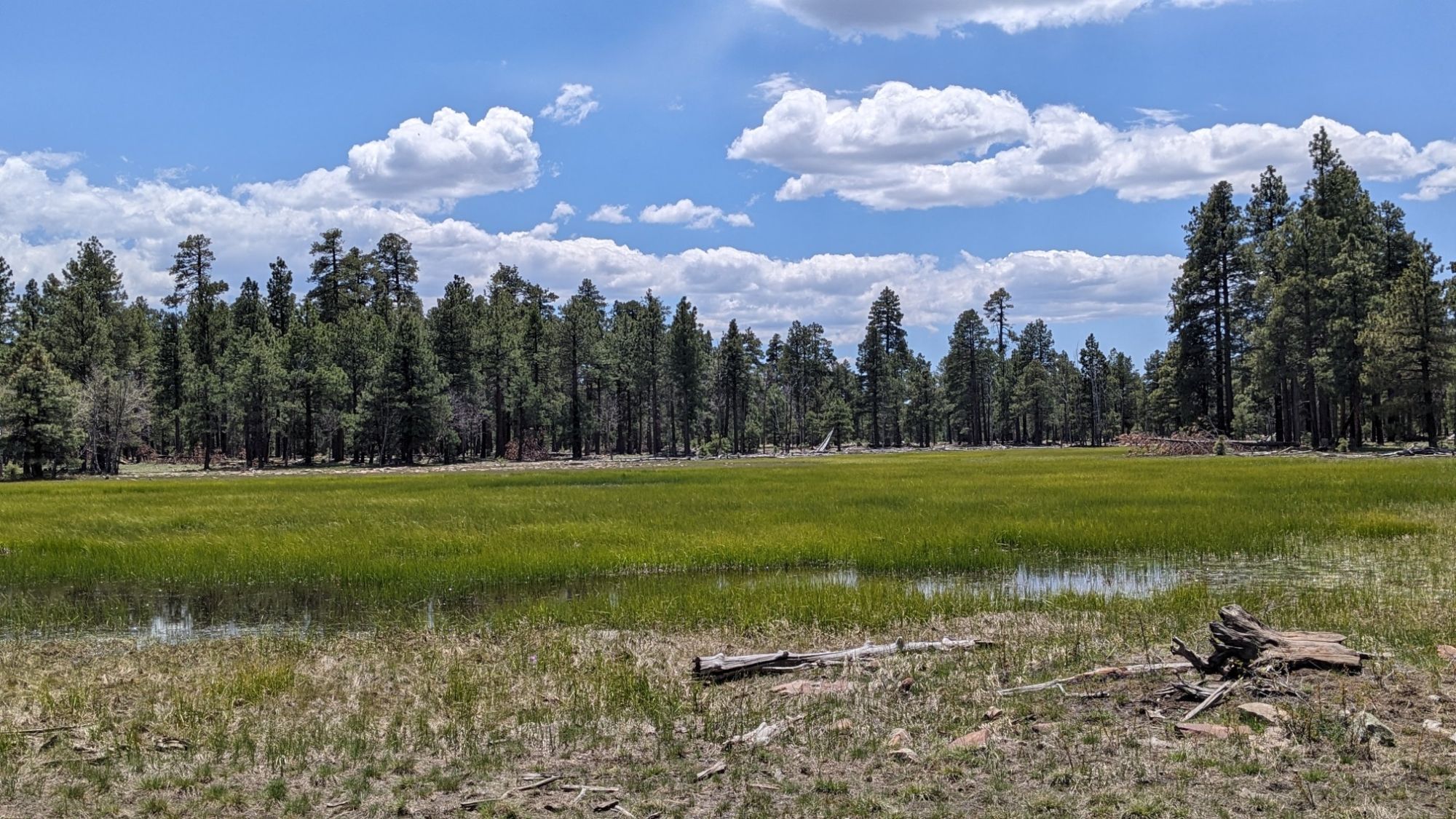
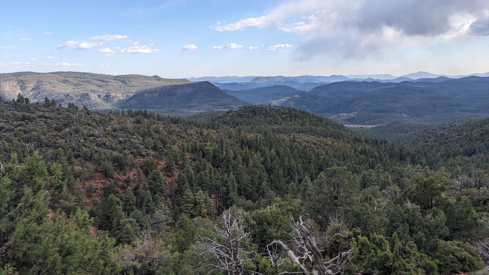
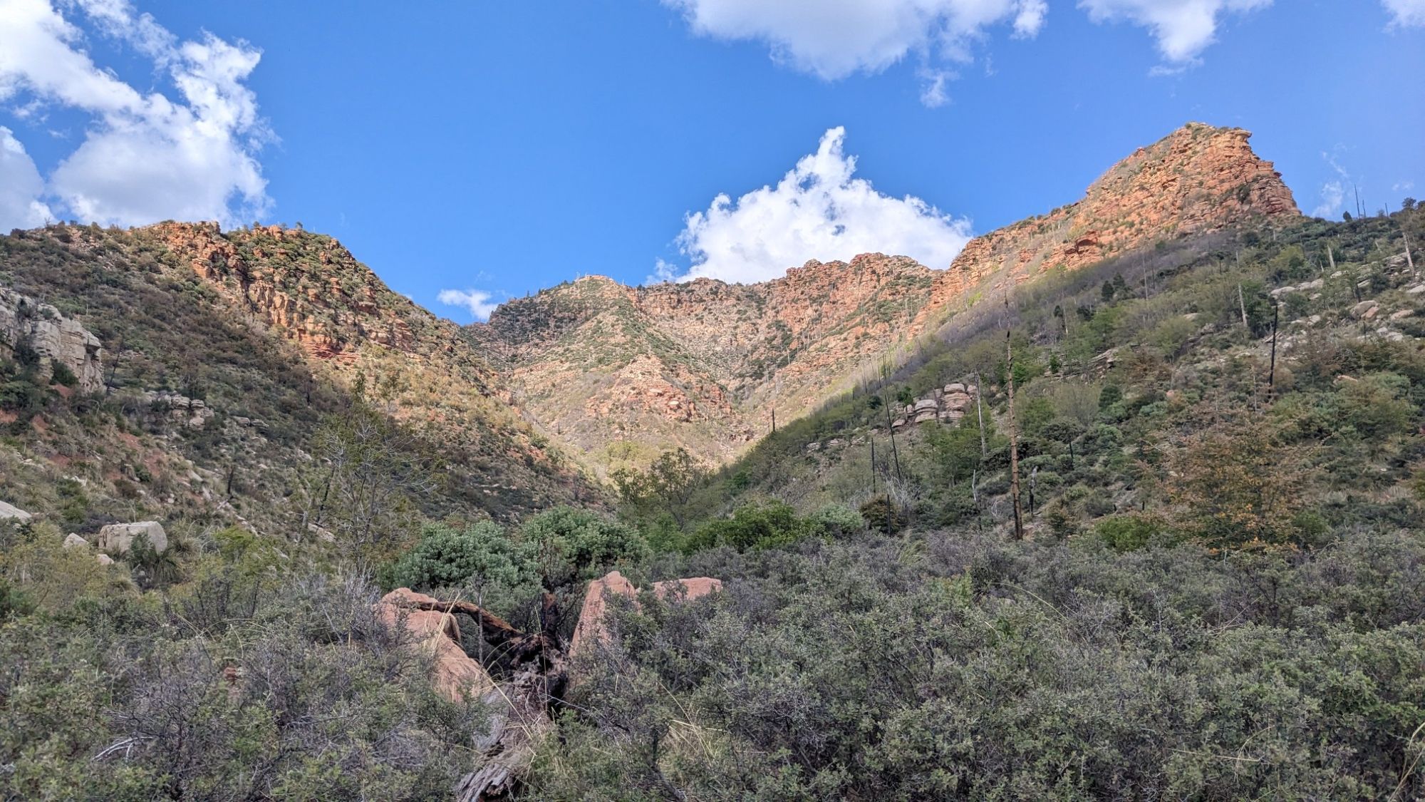
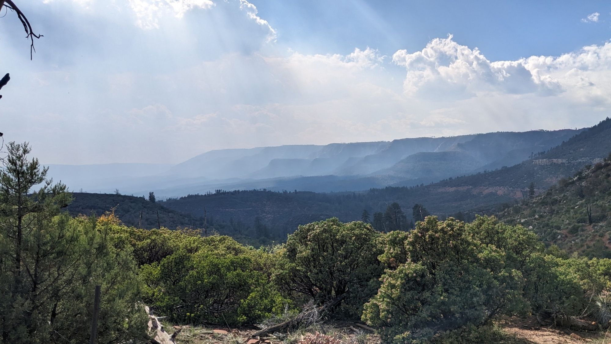
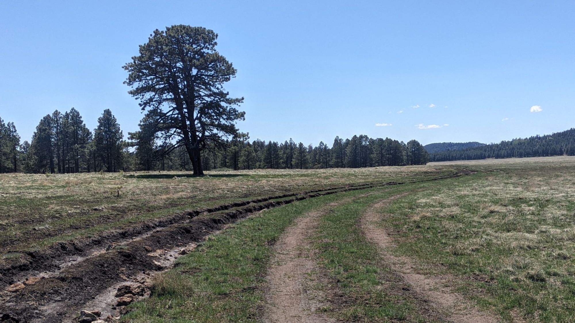
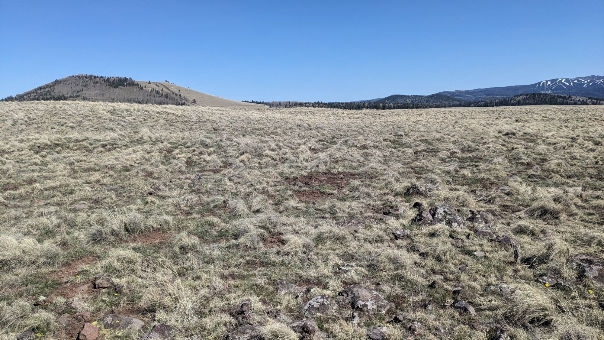
Just before lunch I got to an area called CC Meadow, which was simply stunning.

I could see for miles in every direction and even some snowy mountains in the distance!

This one tree grew by itself in the meadow and it reminded me of the “Lonely tree” in Wanaka NZ.

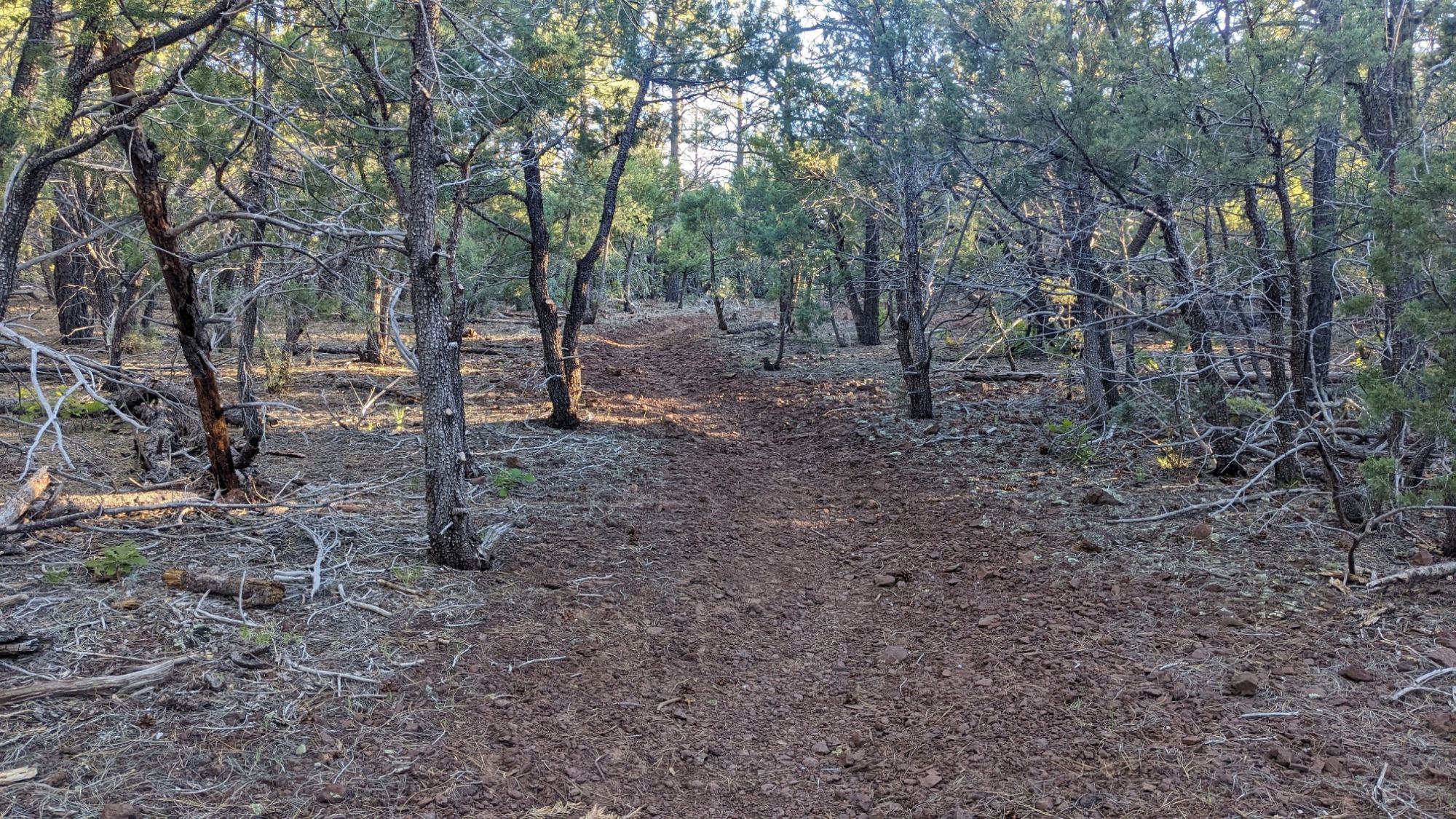
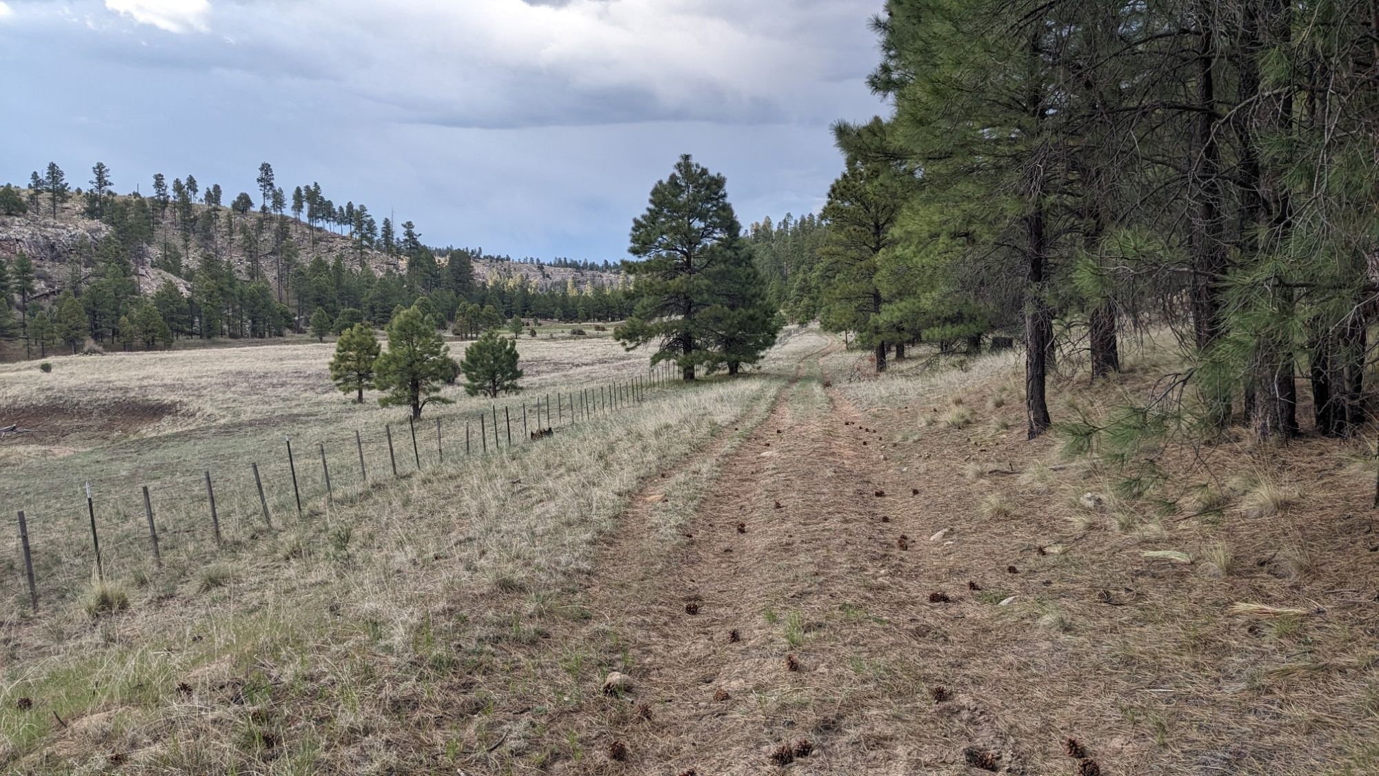
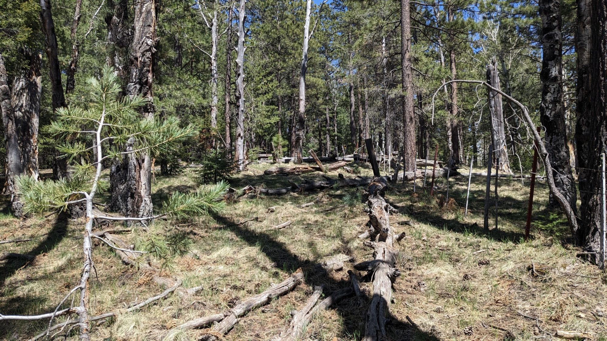
I stopped and had lunch in the meadow and enjoyed the views all around me. It was a little windy and cold, so I didn’t stay very long. Soon I entered the forest and hiked XC along a fenceline which was the boundary to the Fort Apache Reservation.

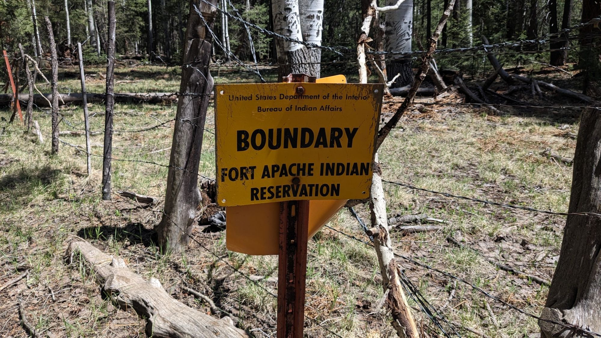
It was a fun little section of navigating through the brush and fallen trees.

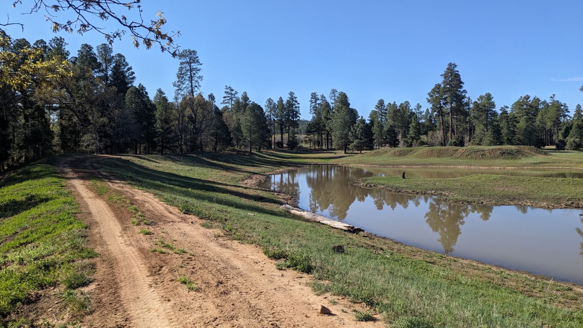
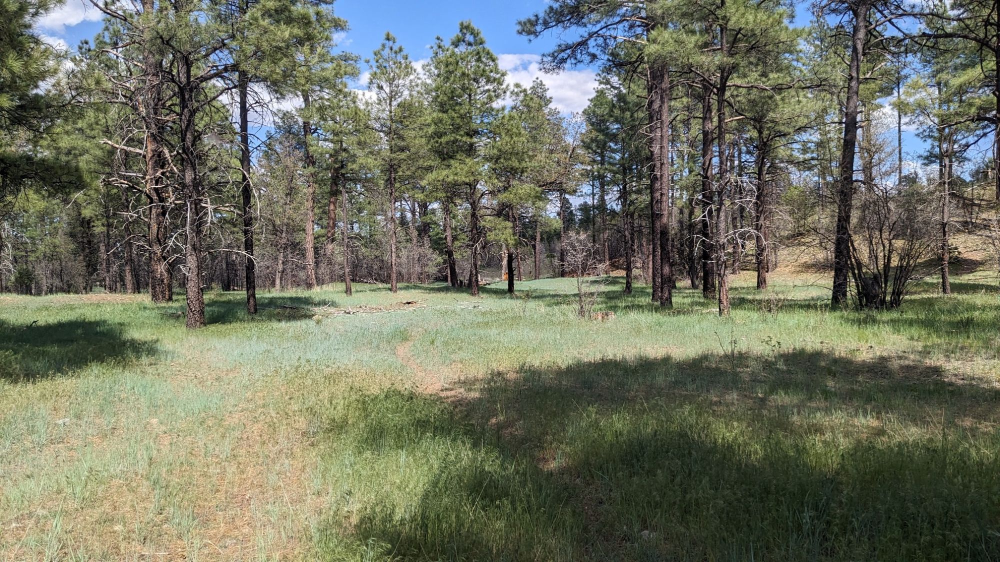
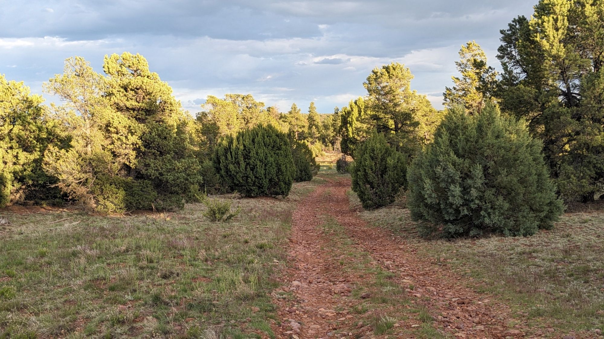
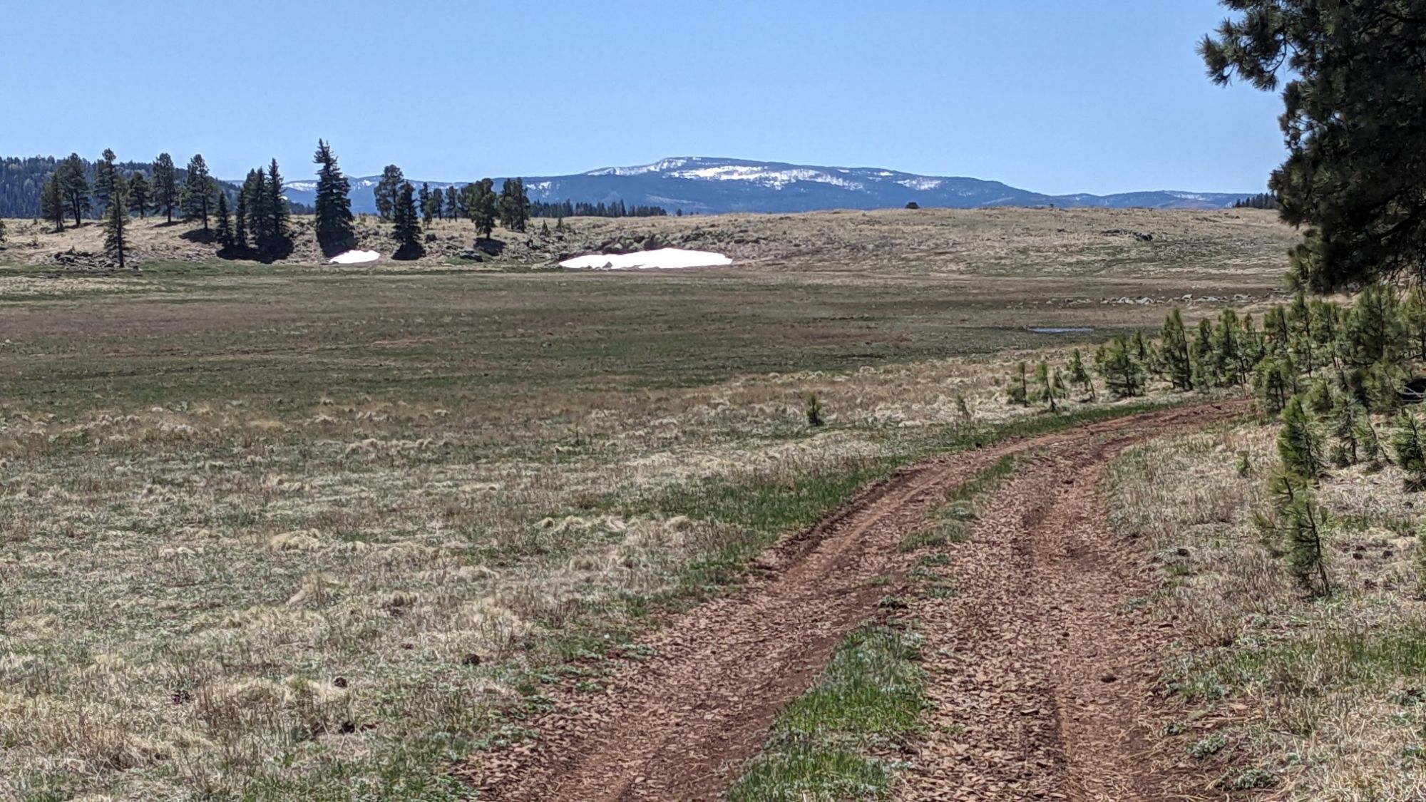
I emerged out of the woods onto a different road, everything was so green out here!

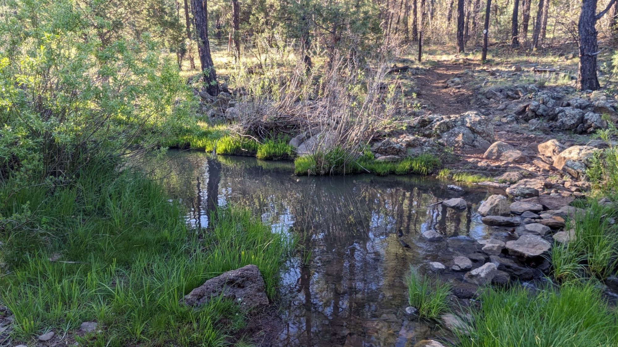
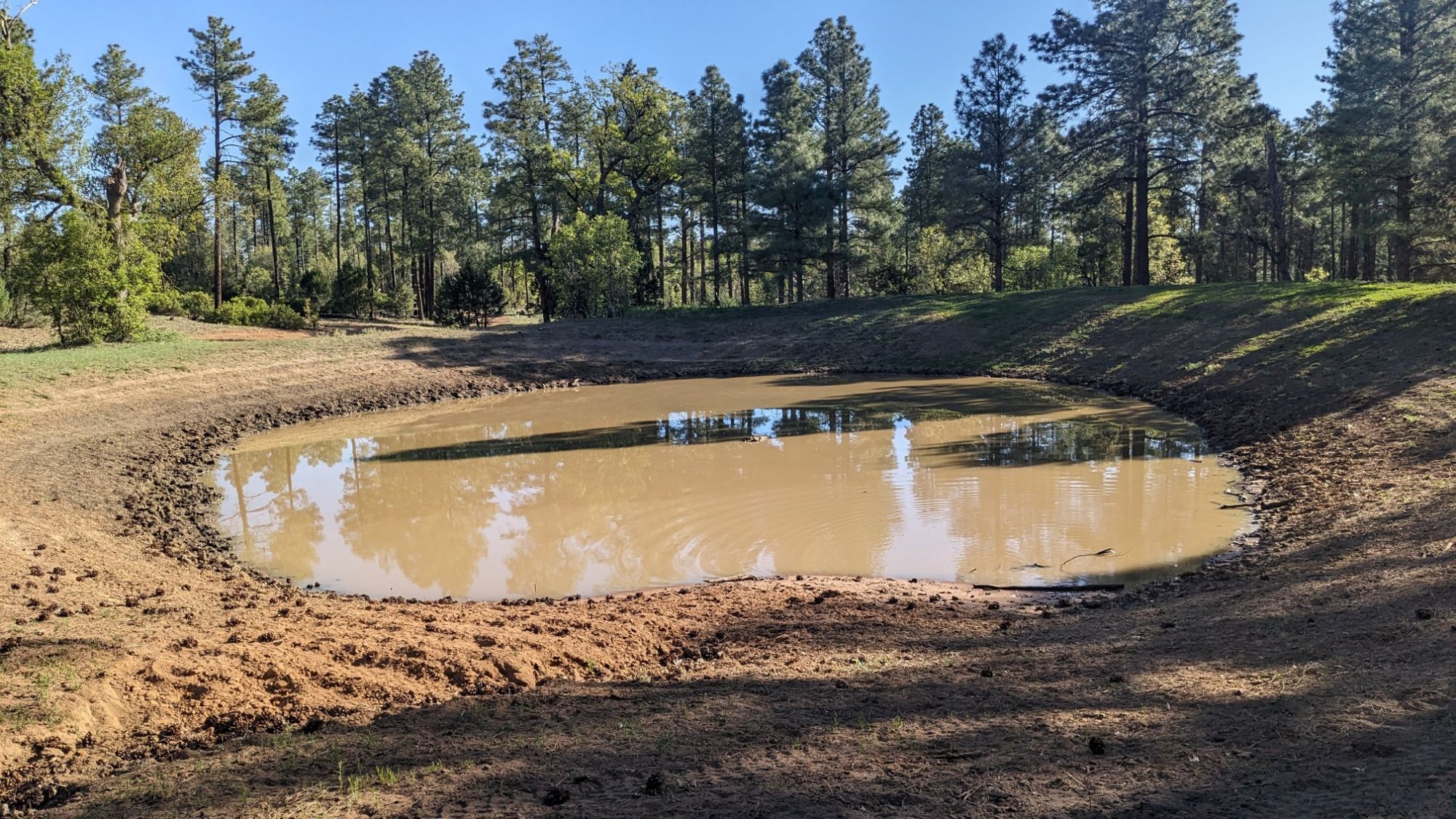
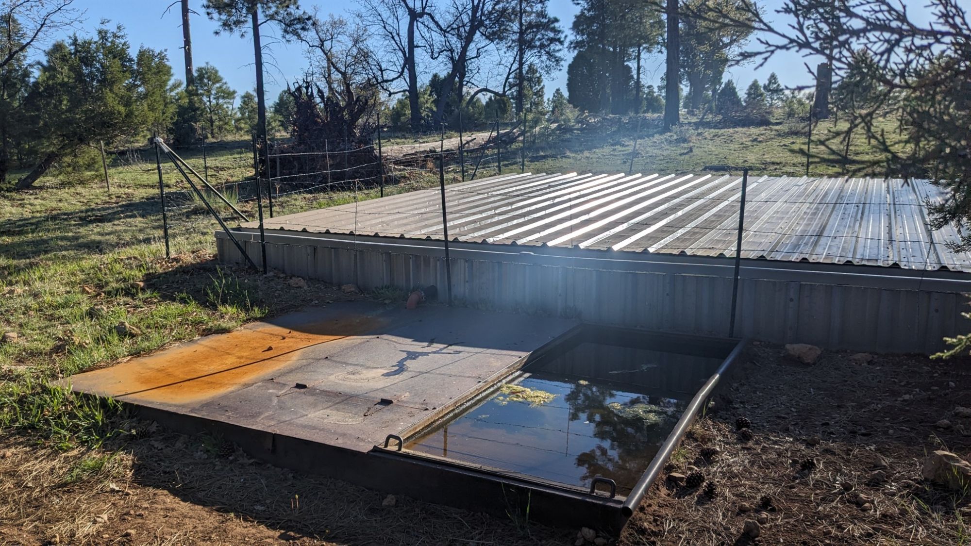
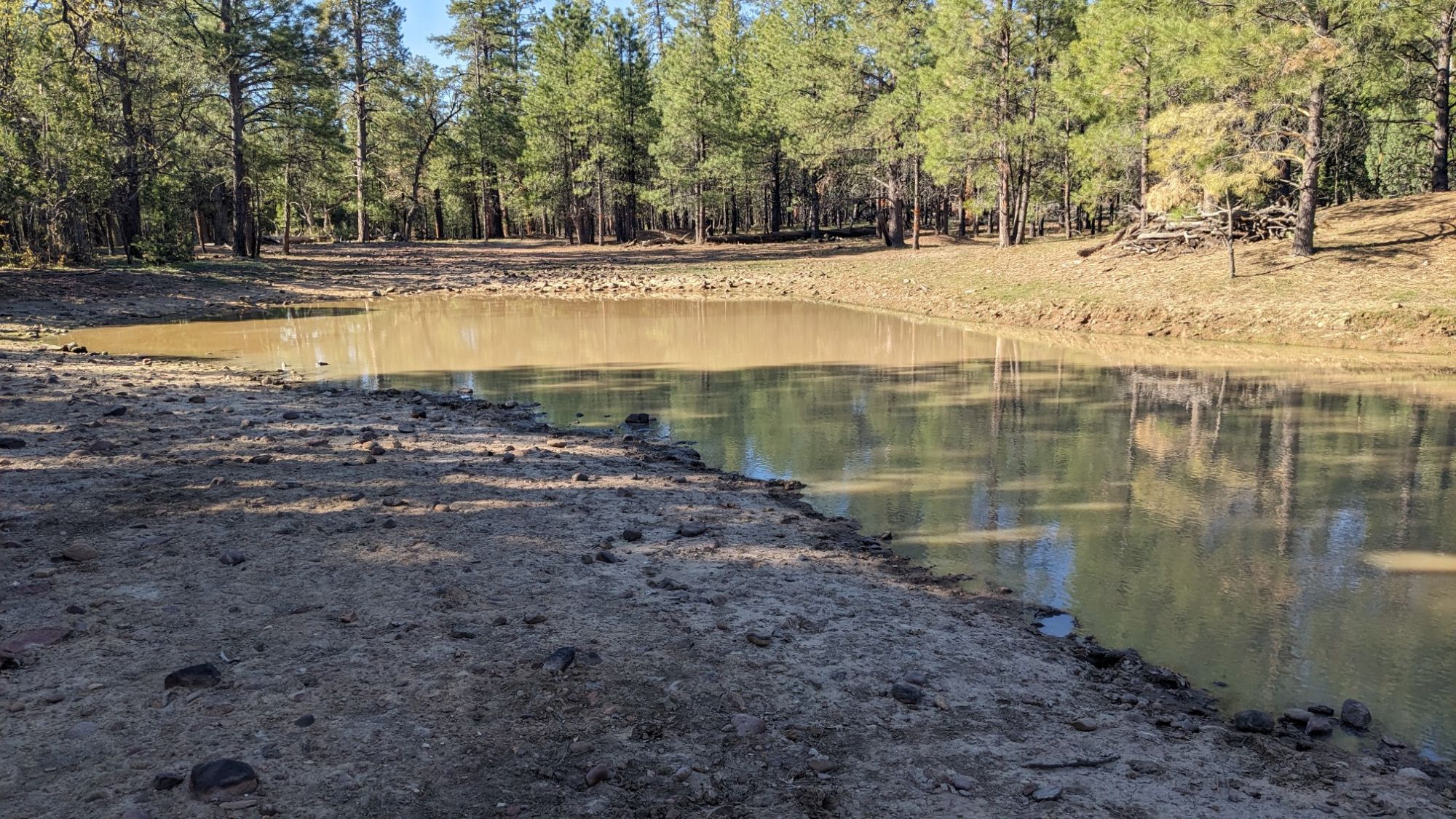
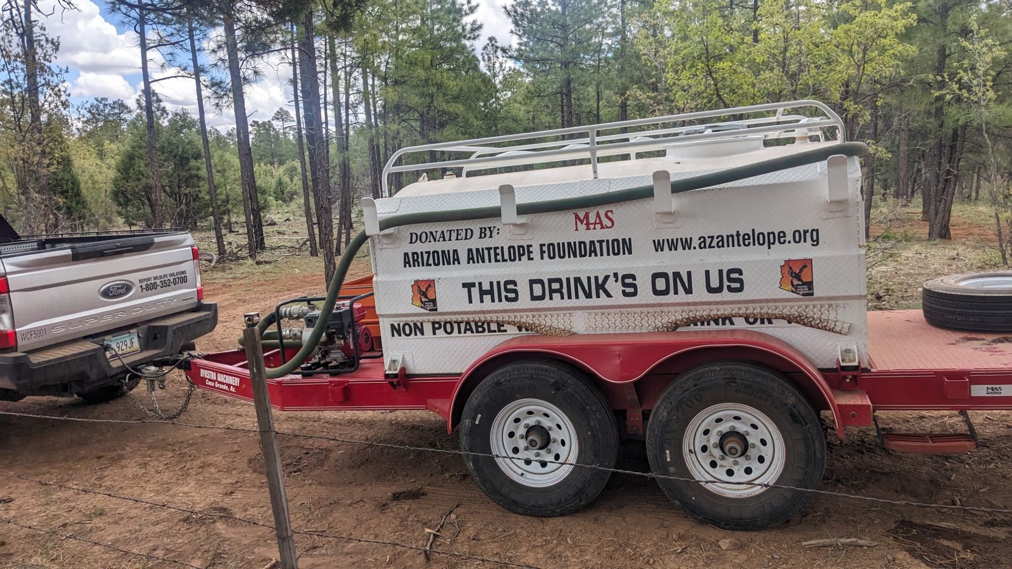
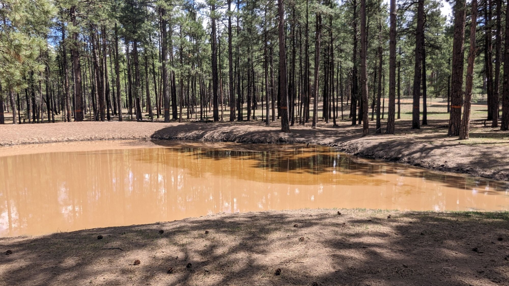
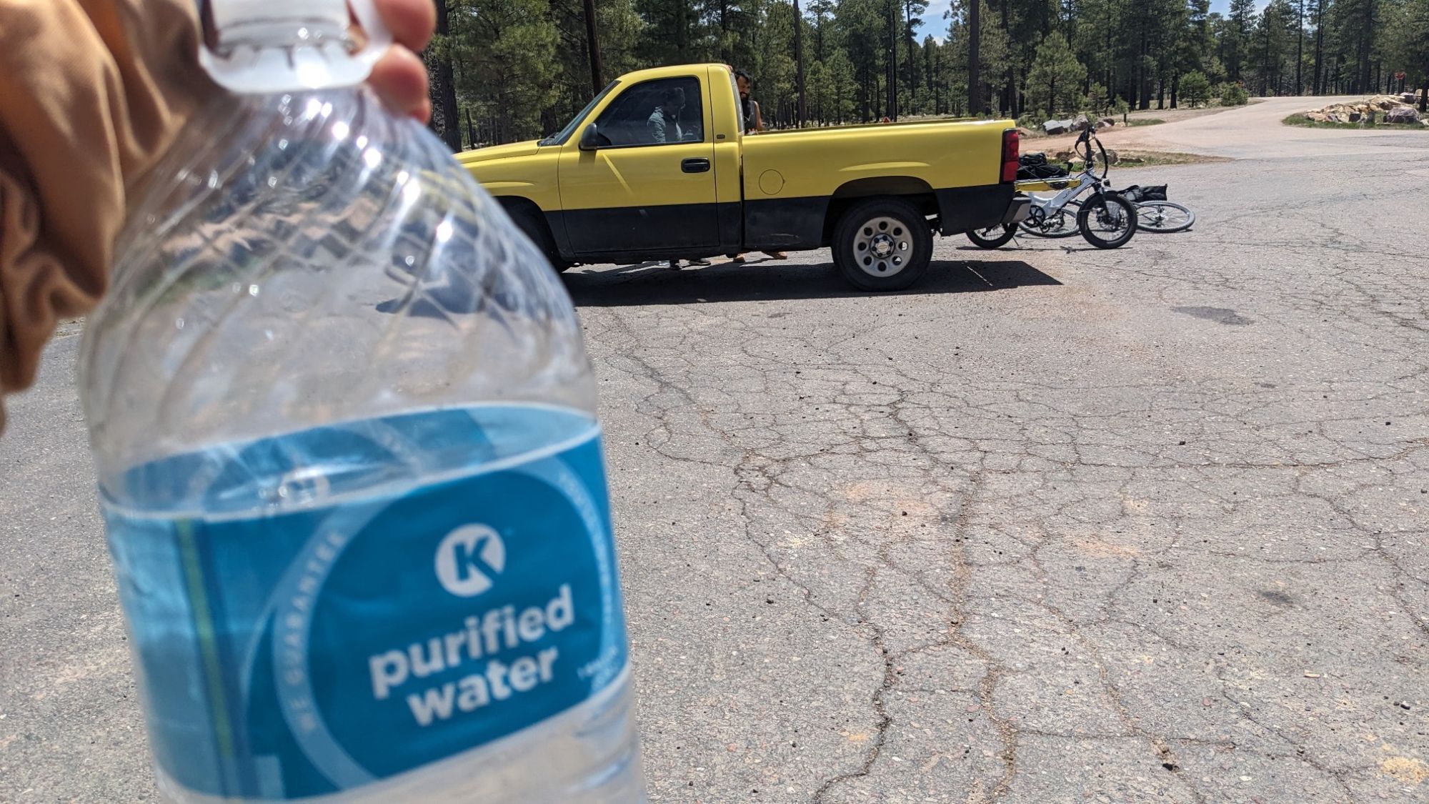
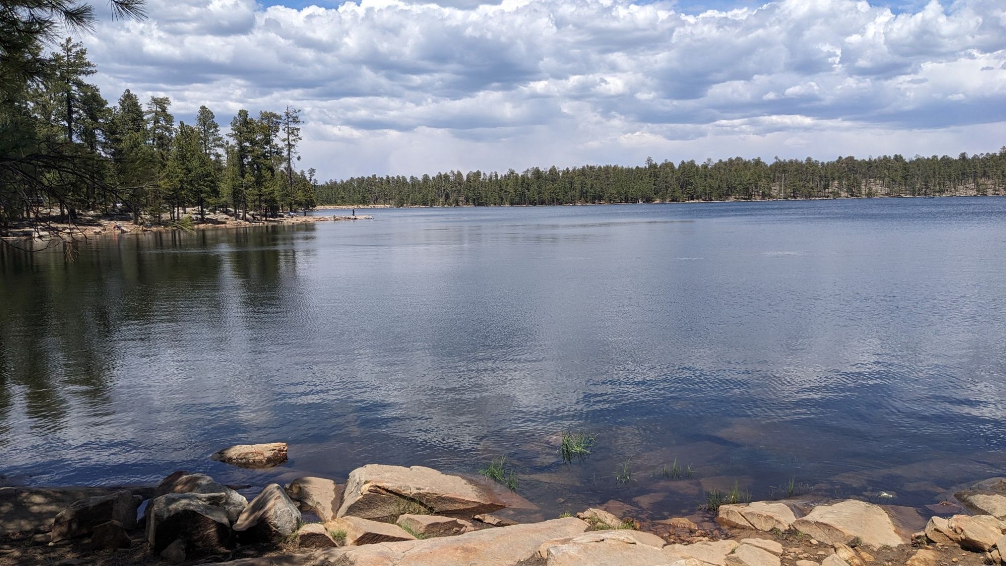
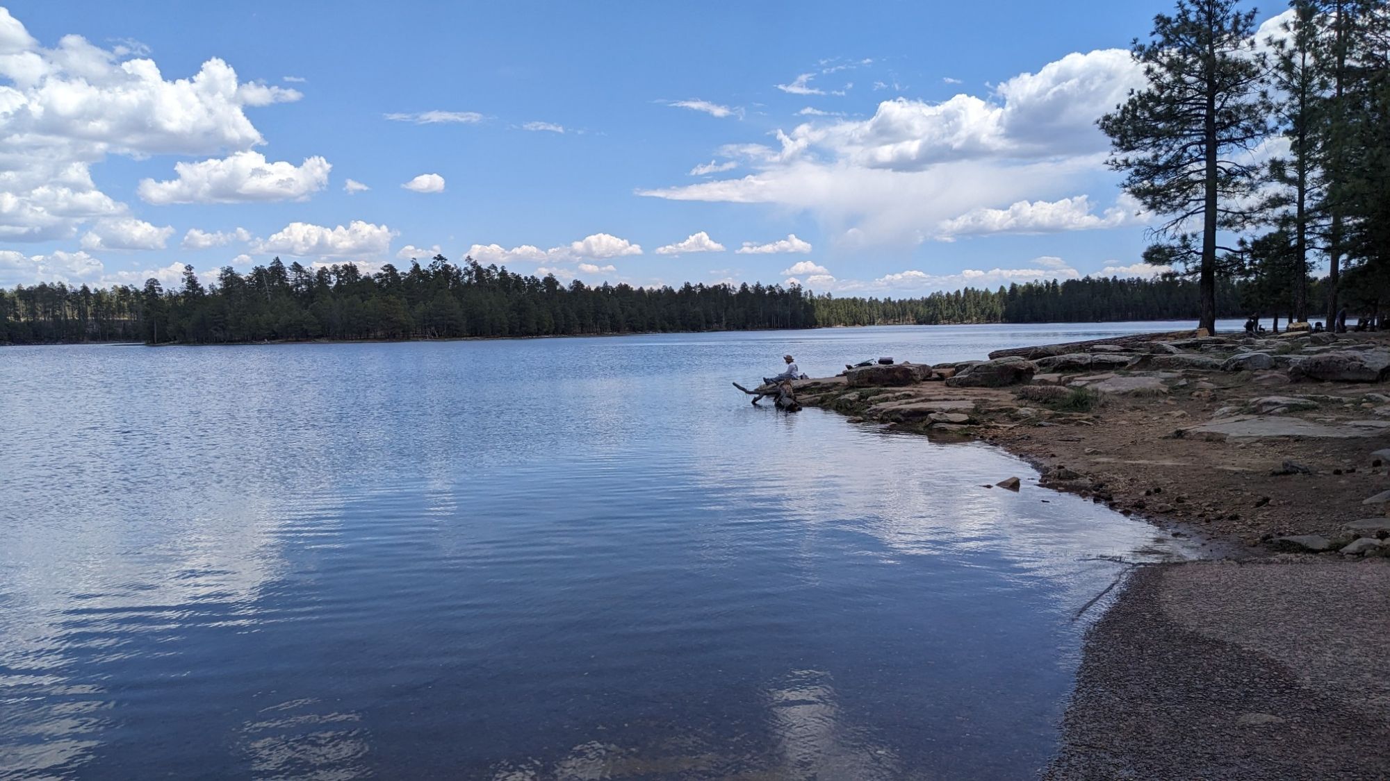
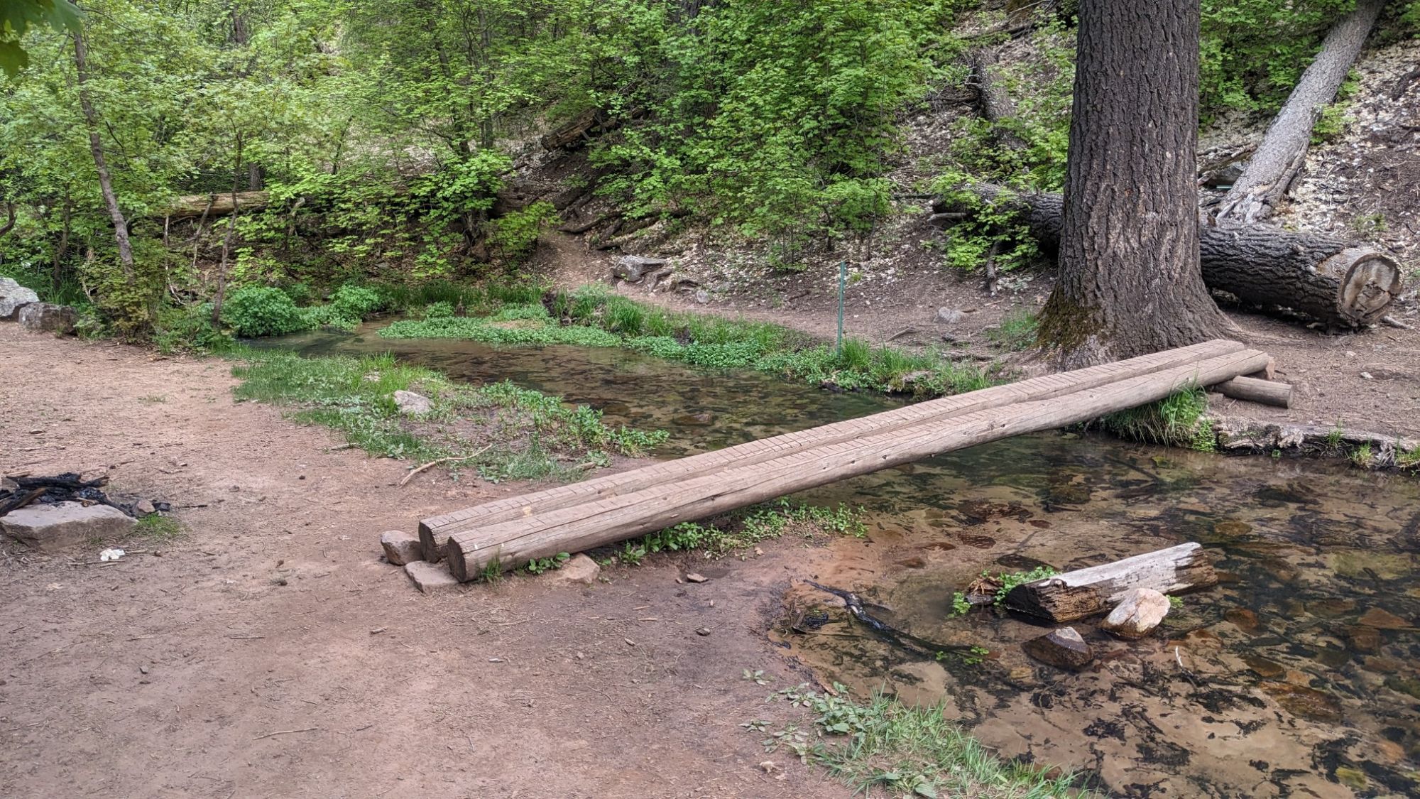
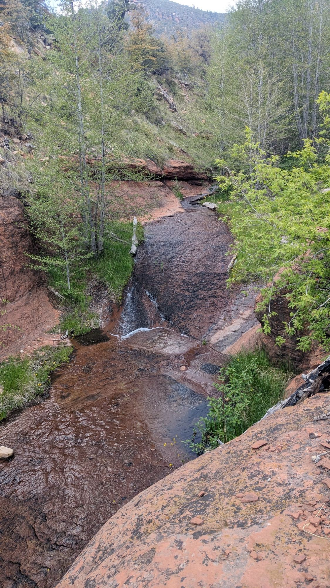
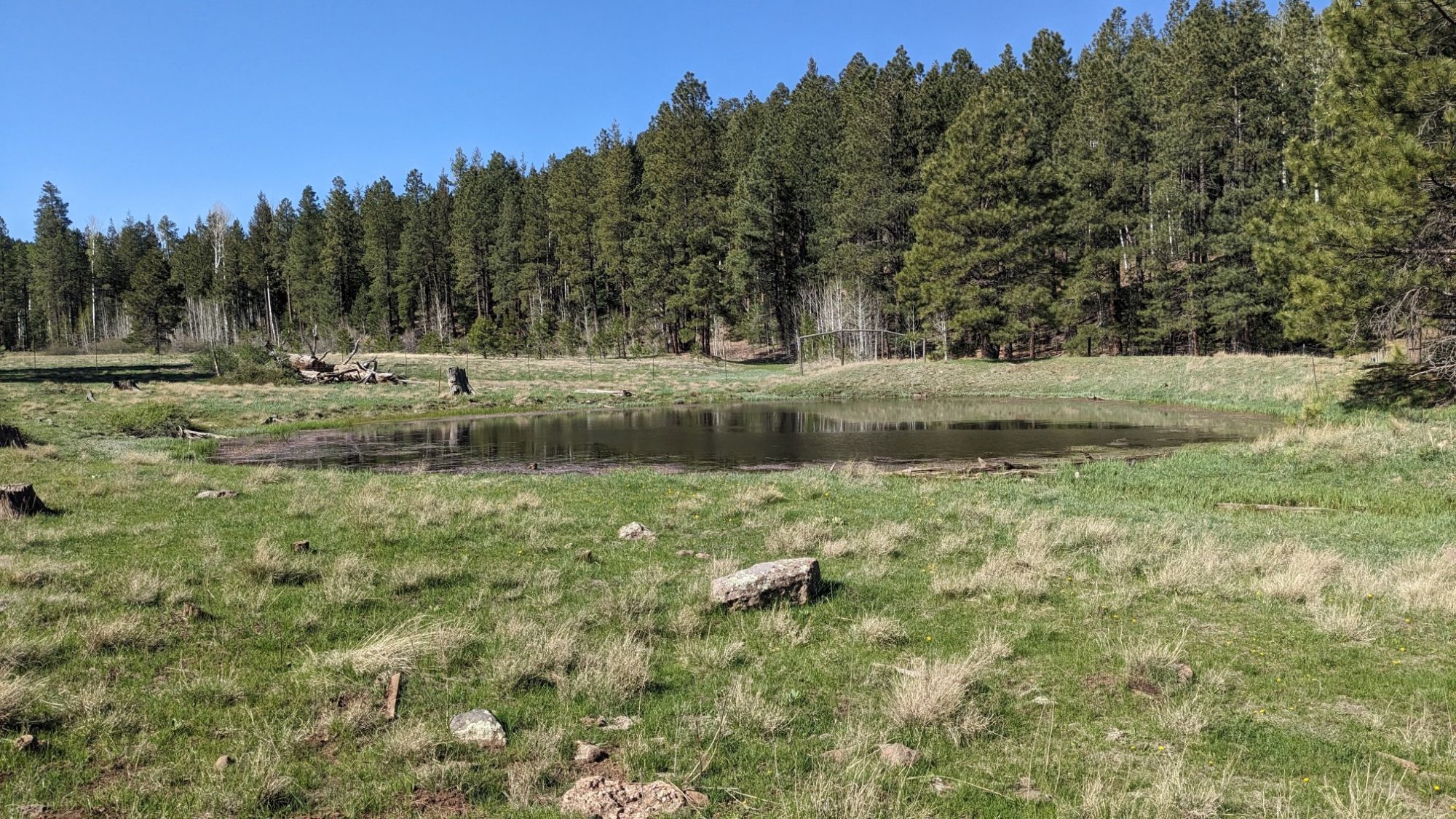
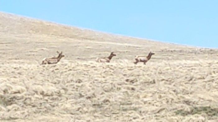
I passed by a few more ponds and refilled my water bottle. I never carried more than a liter all day, it was great. The next section of XC was a bit easier, it was just walking in a straight line across a giant meadow.

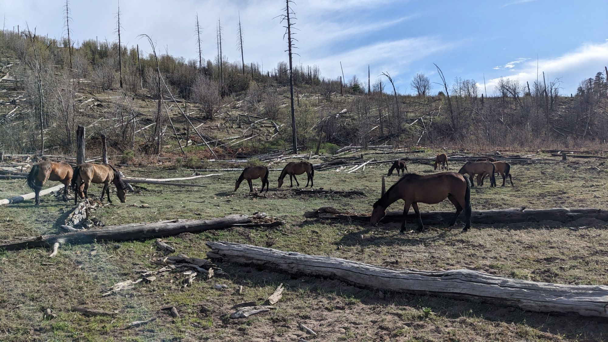
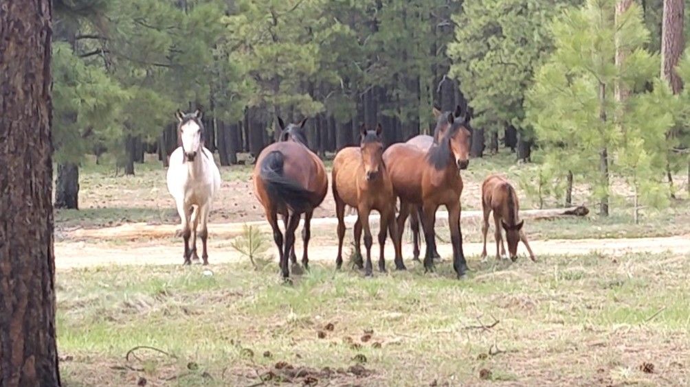
I even got to watch a herd of animals cross the meadow, it’s amazing how fast they can run.

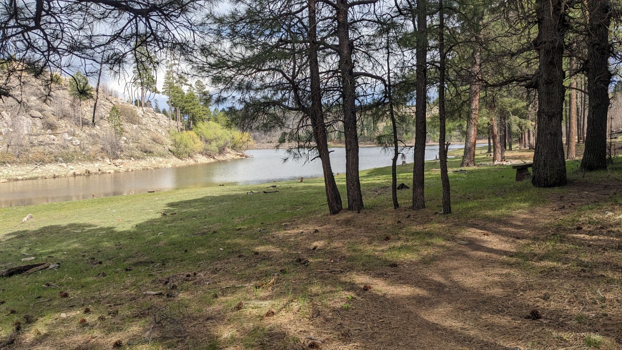
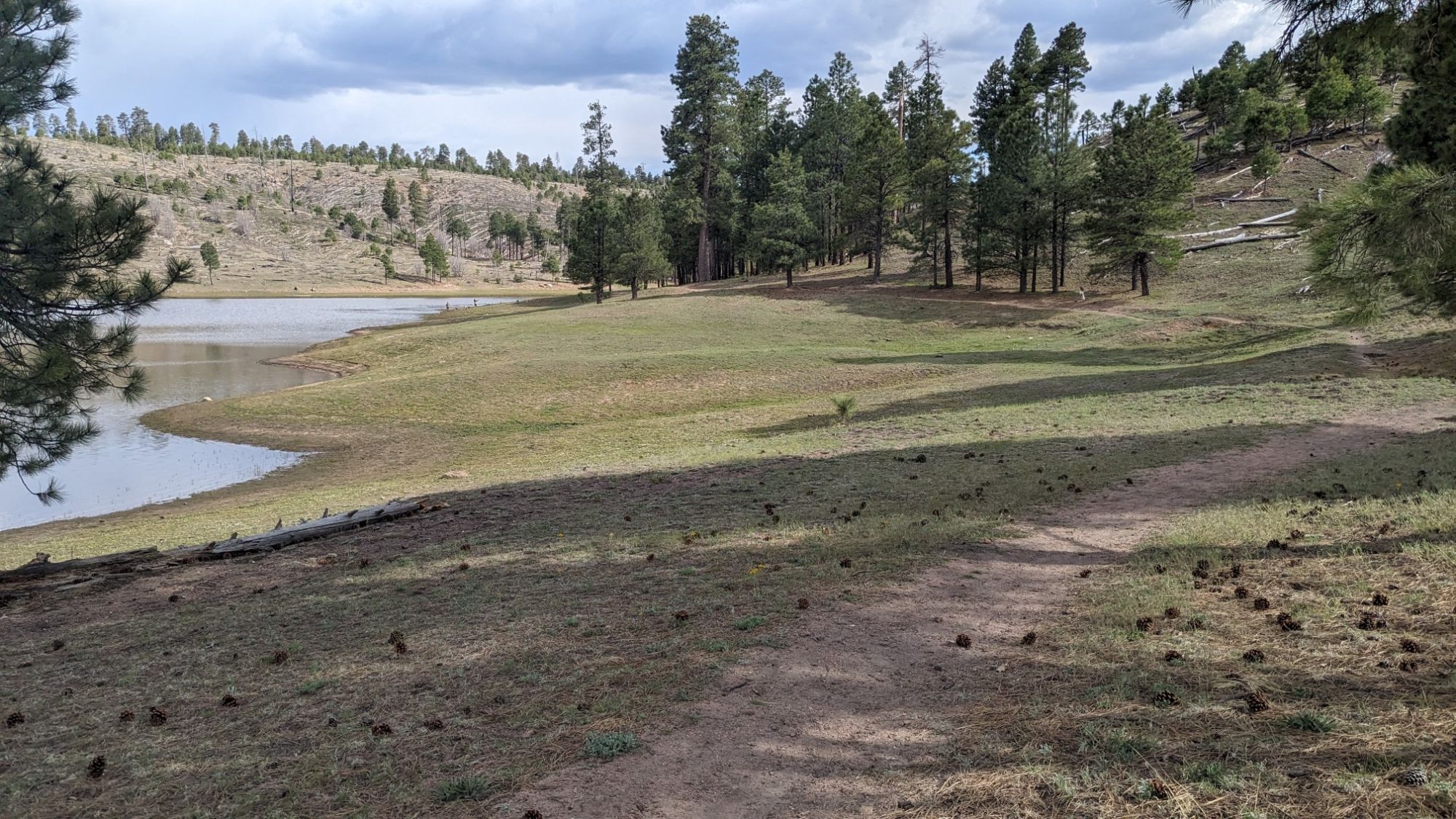
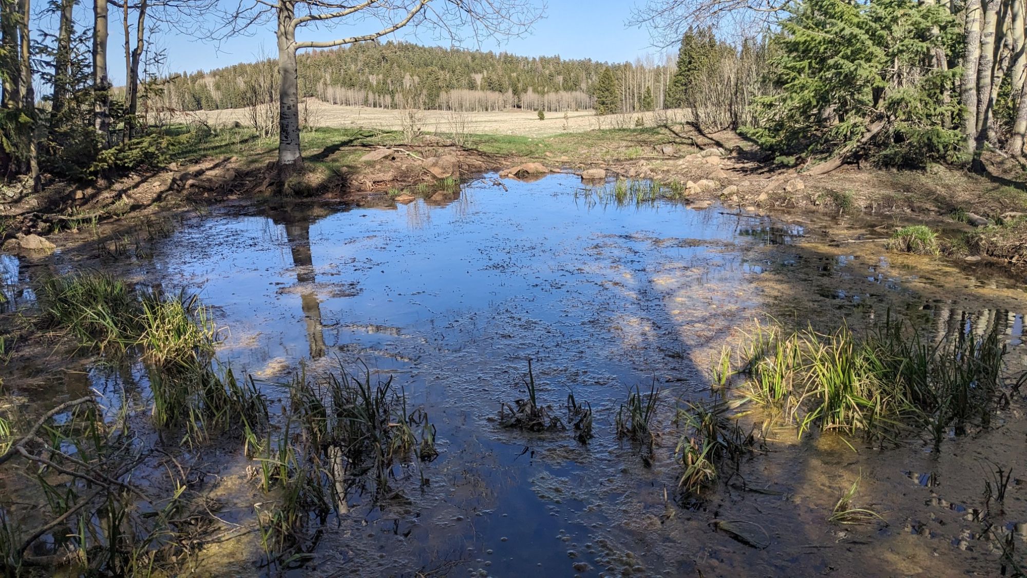
I came to my last good water source for the day, and refilled my bottle one last time for dinner.

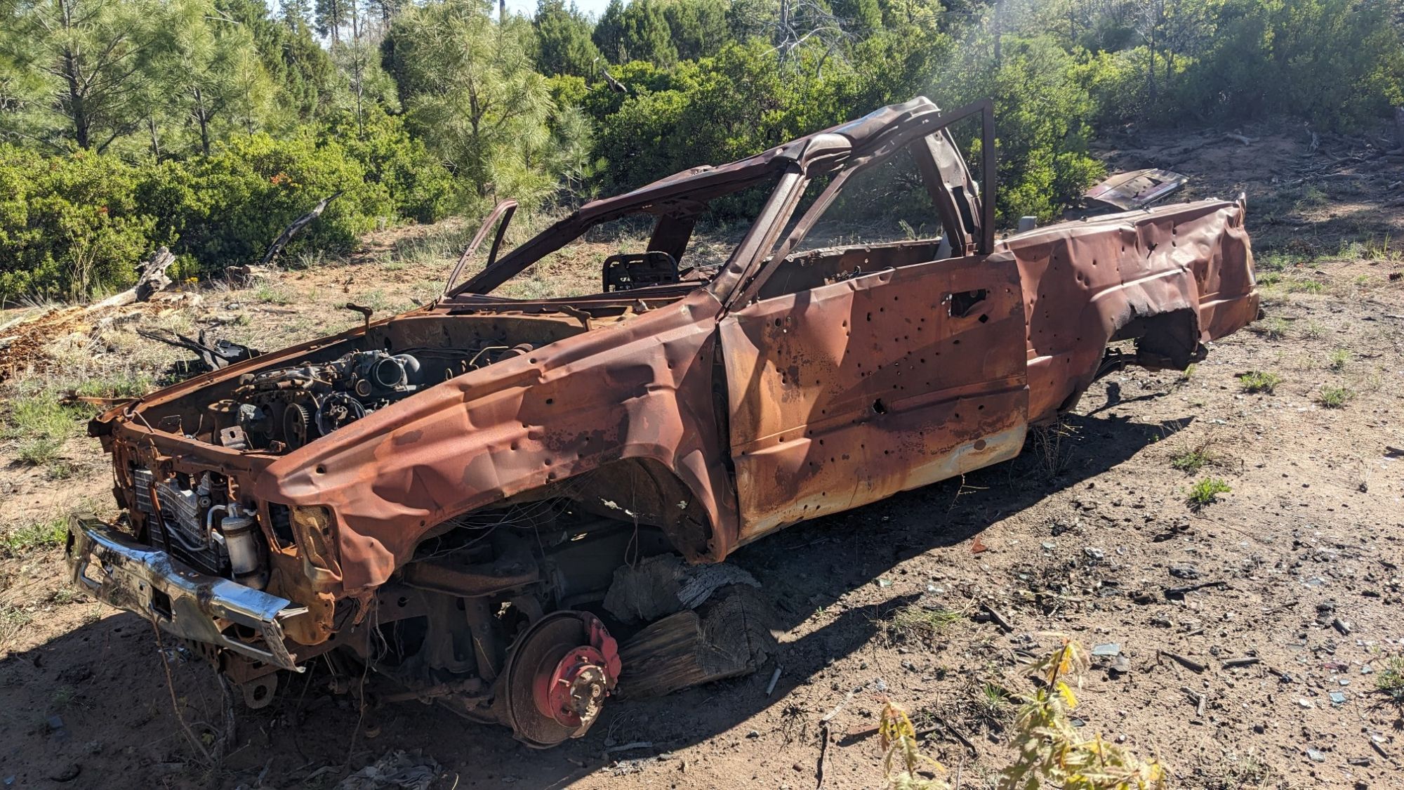
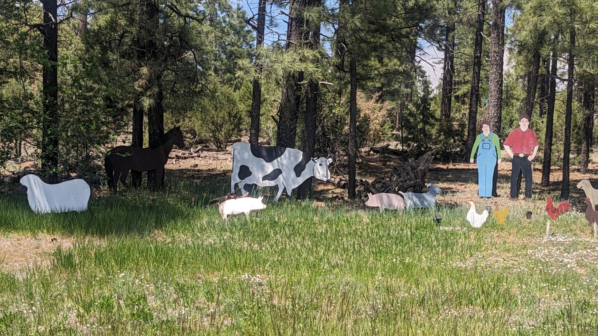
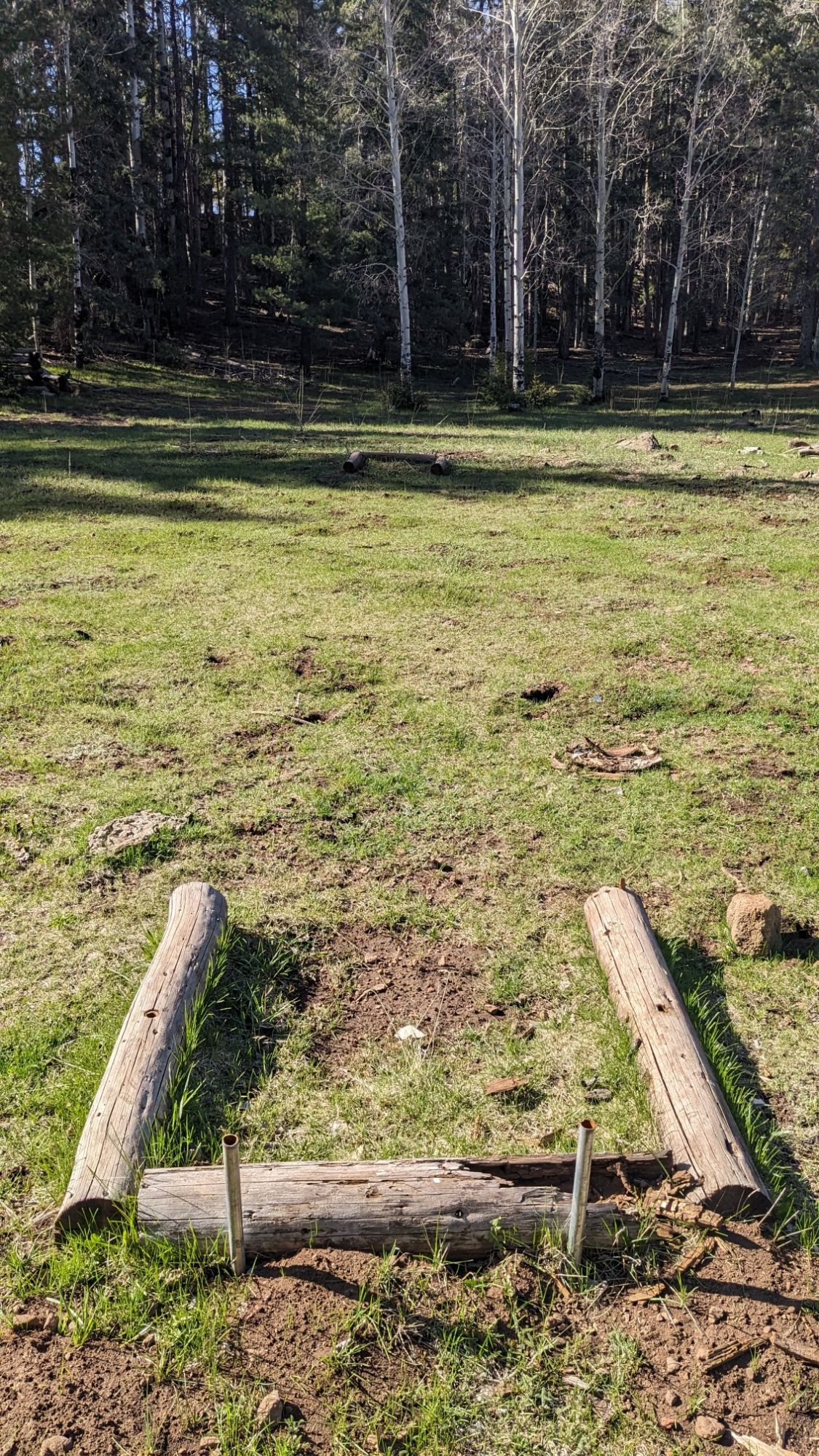
I noticed that nearby, somebody had installed what looked like… horseshoe pits?!

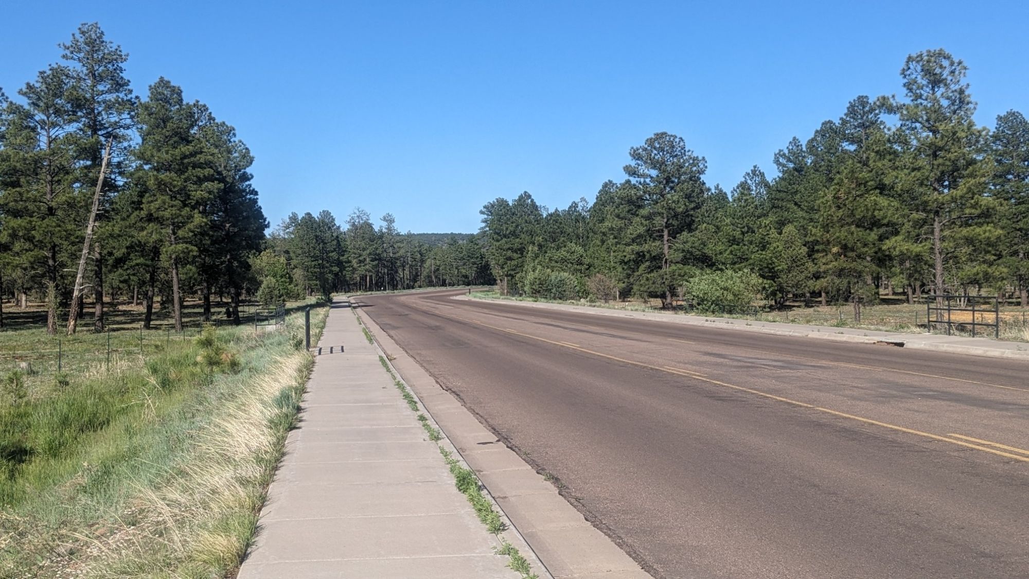
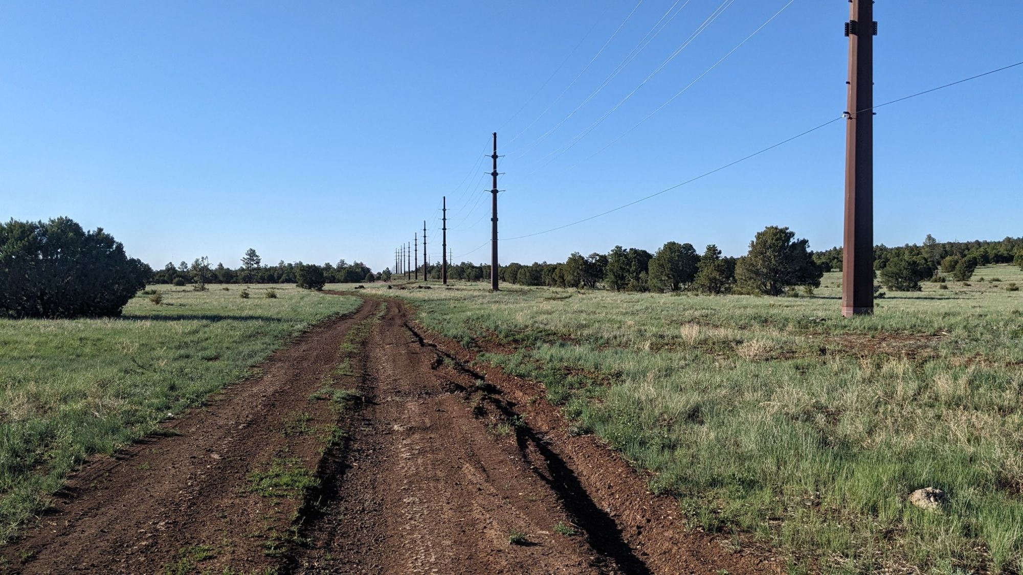
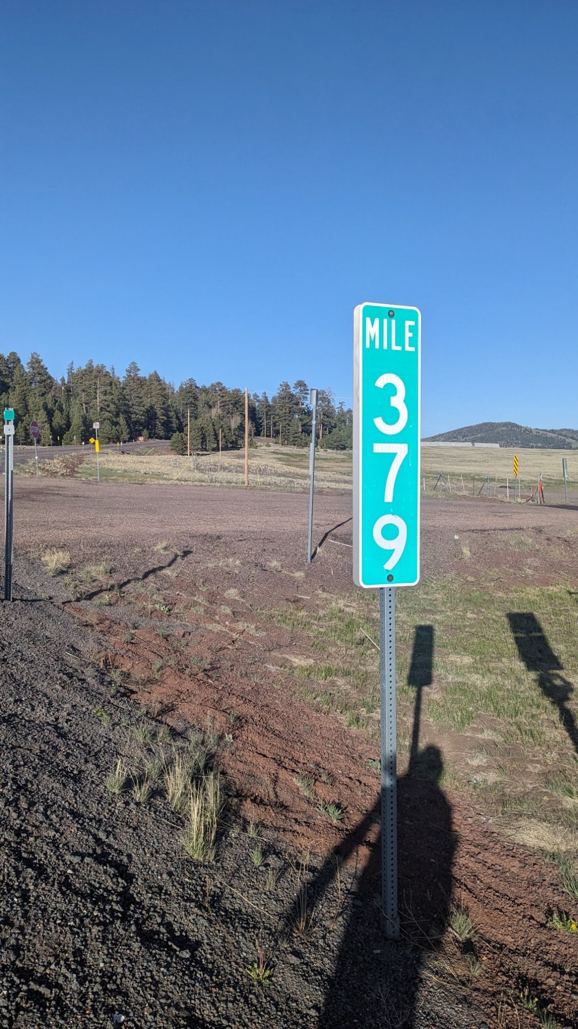
I crossed highway 260 again, and I think for the last time. I had been following this highway since the start of the trail in Cottonwood, 335 trail miles ago. I see that the road took 379 miles to get to this point, so I think I came out ahead on distance.

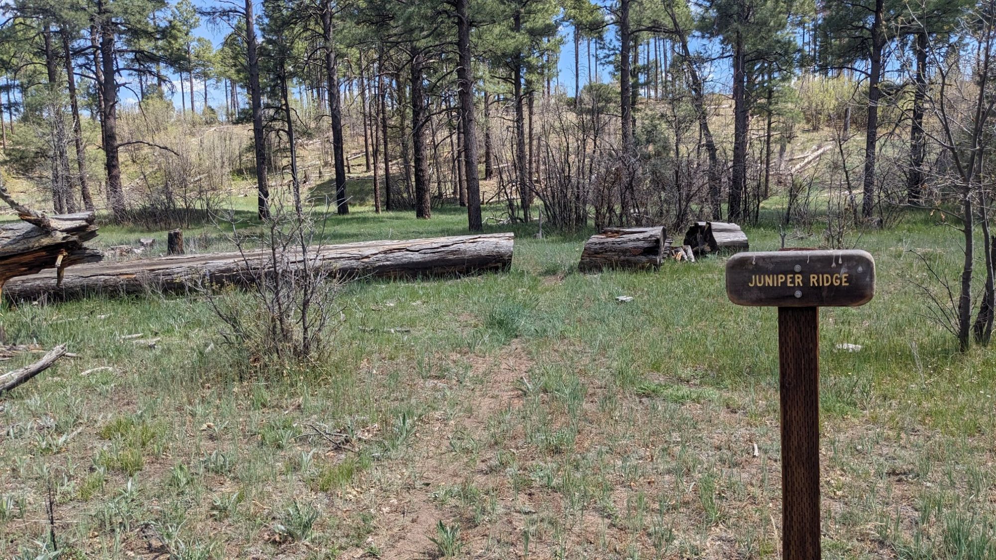
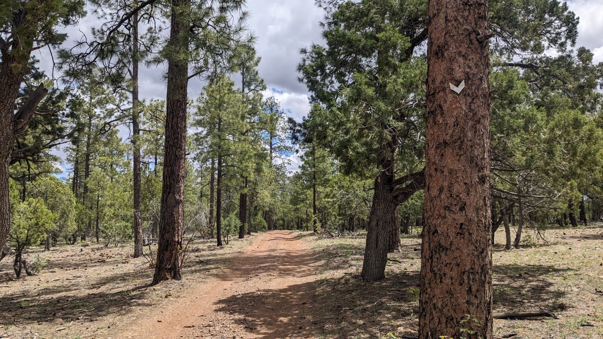
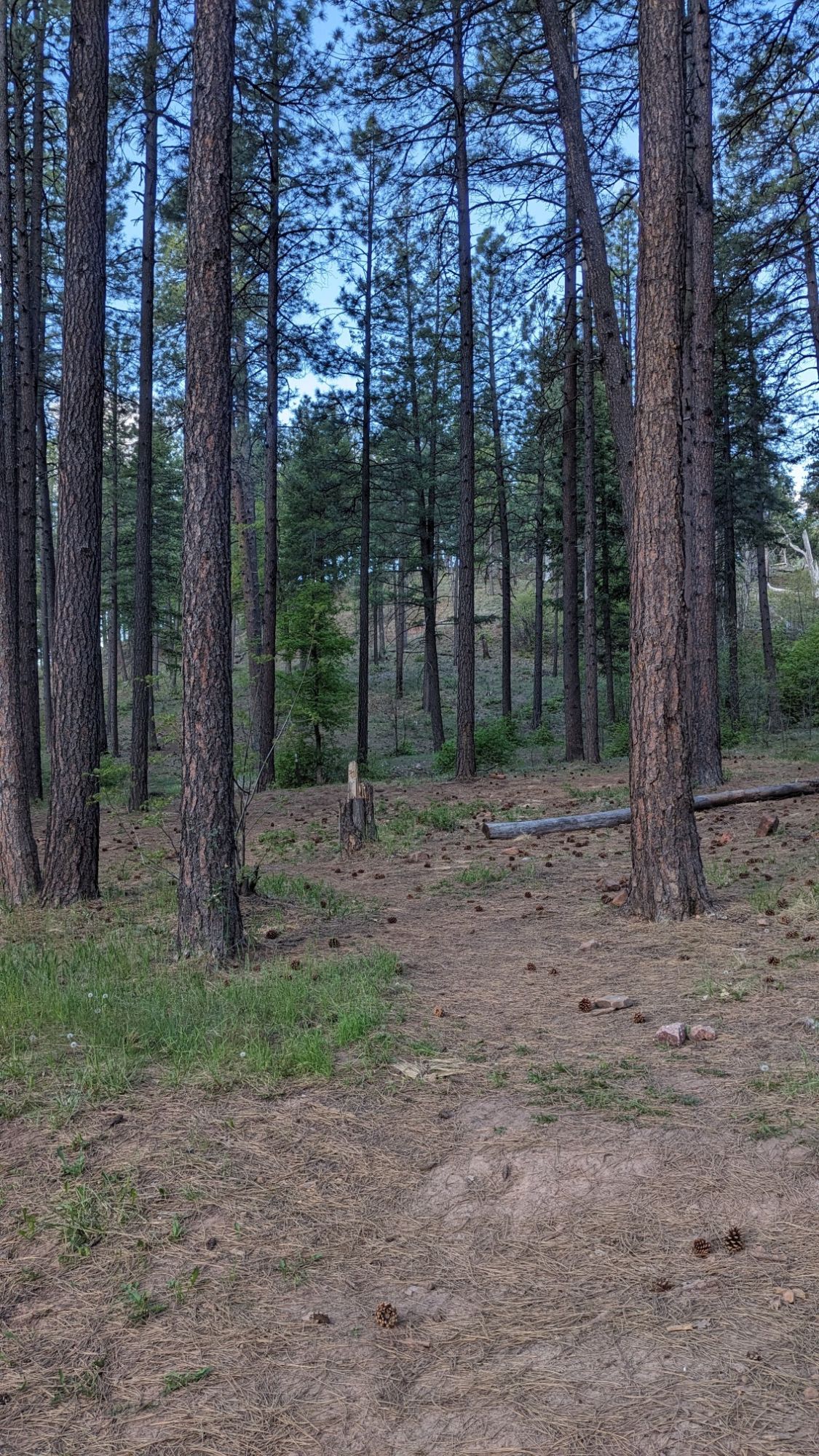
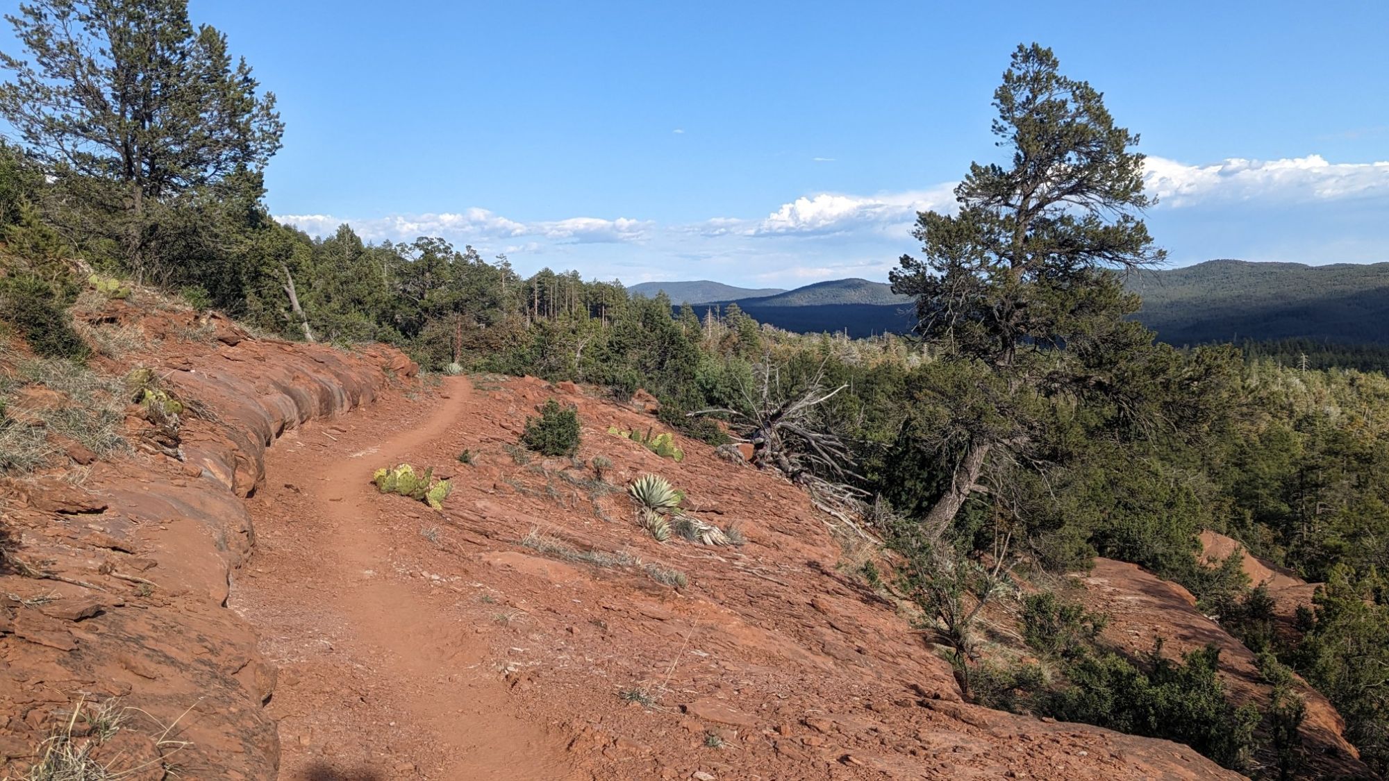
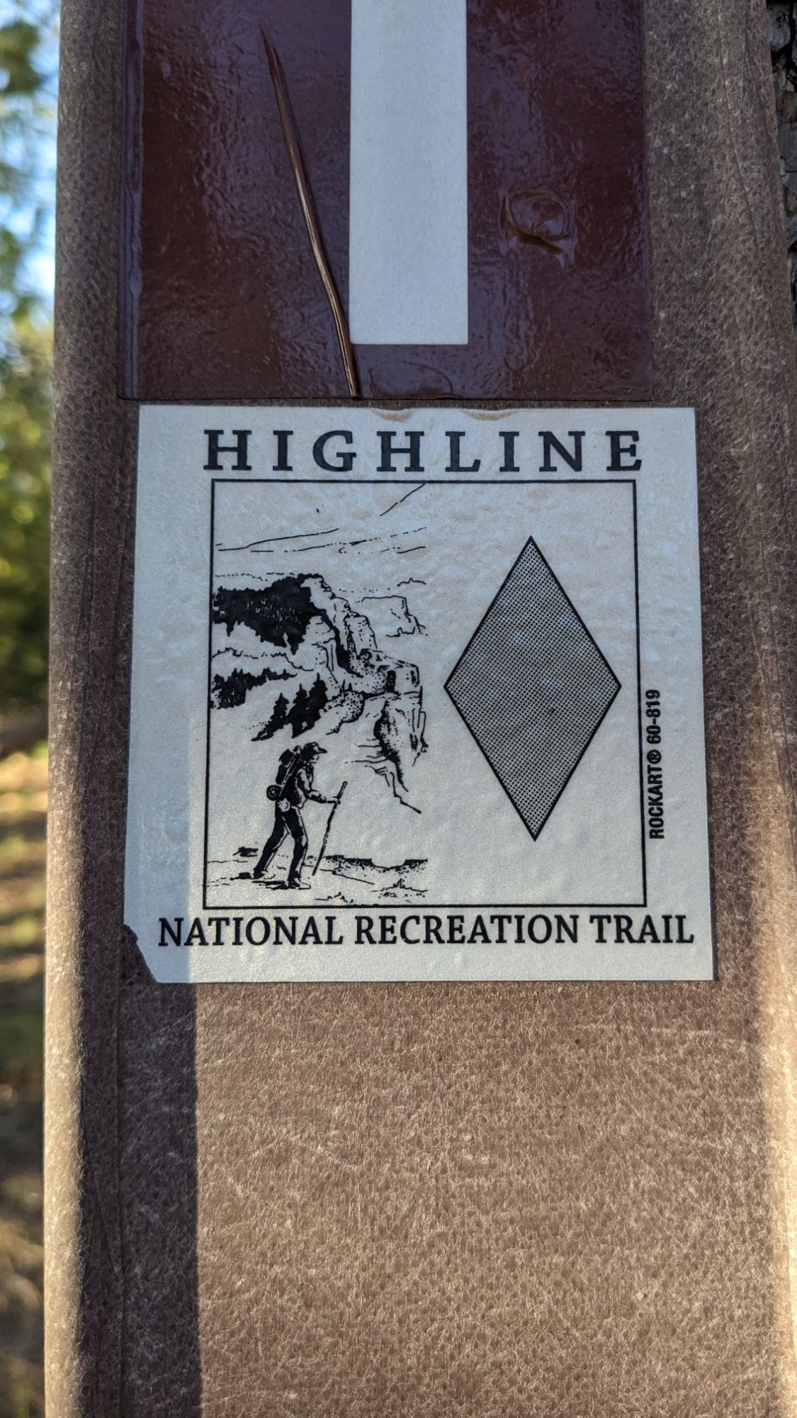
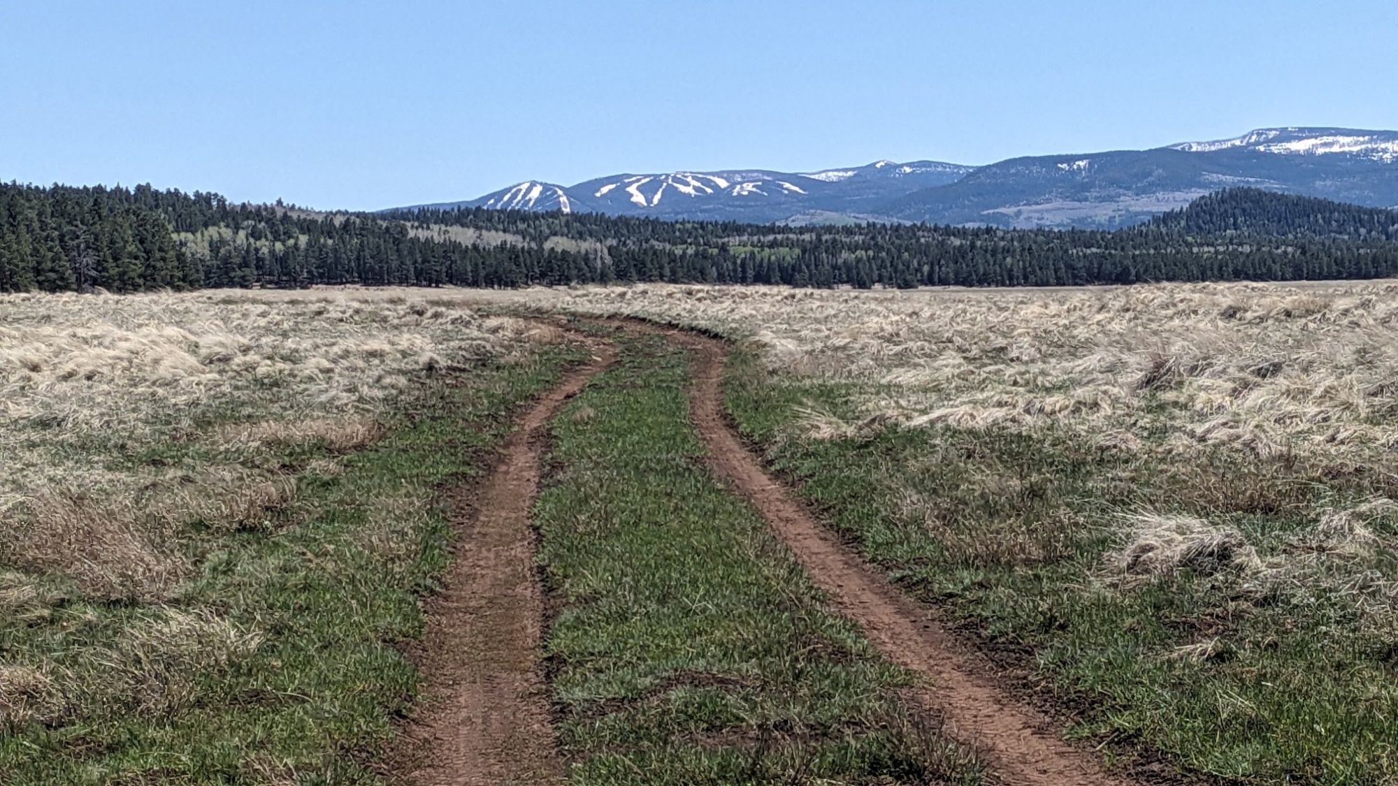
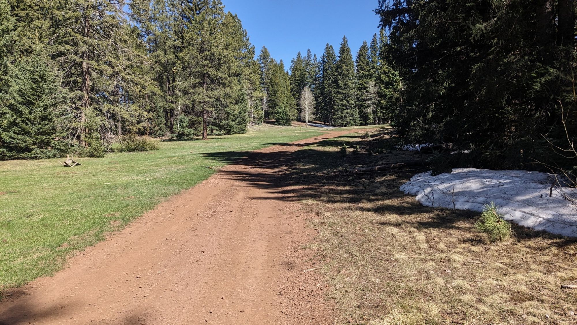
After crossing the road, I started on the Railroad Grade Trail.

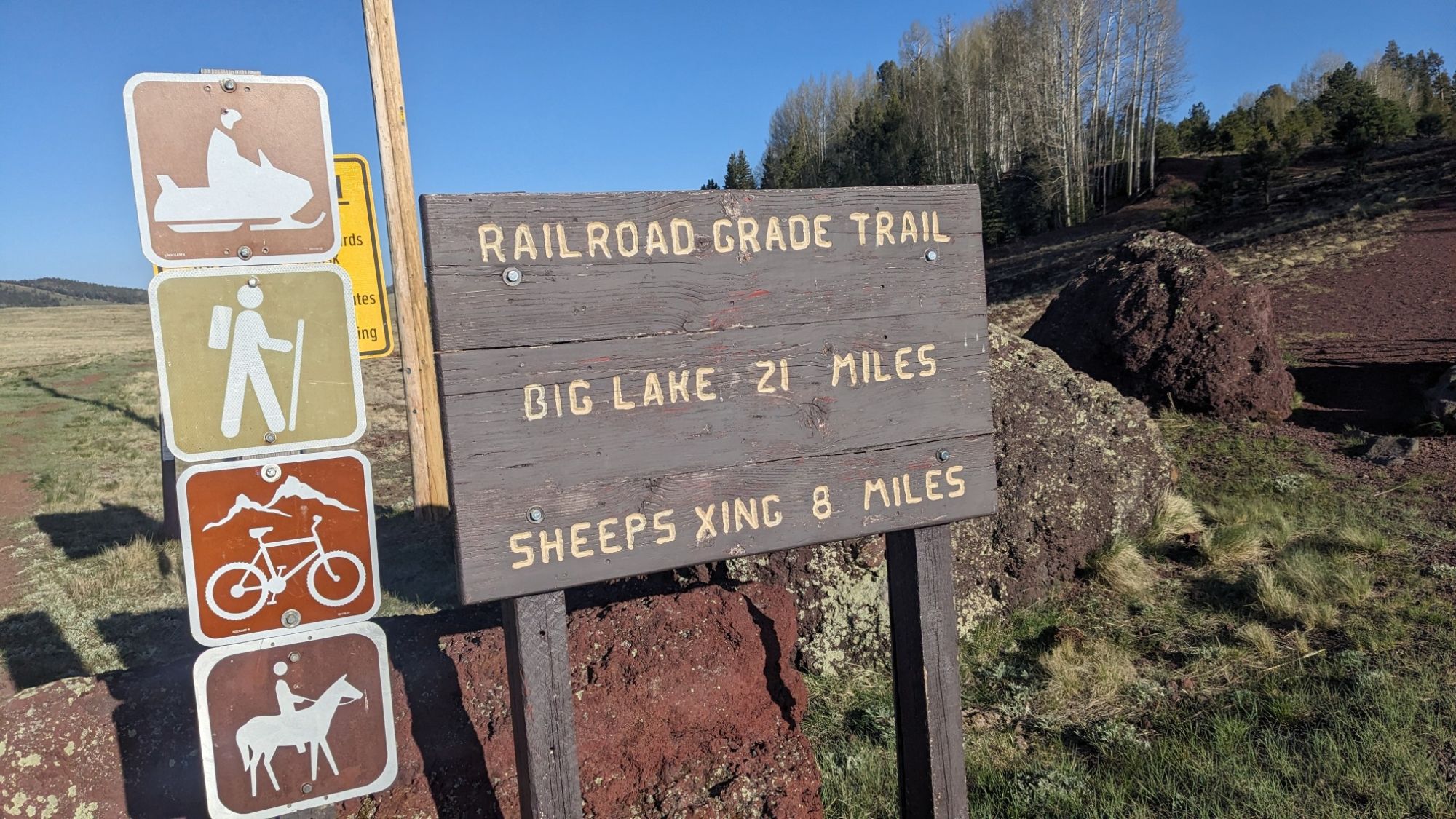
Of course it was perfectly flat and went directly across another alpine meadow.

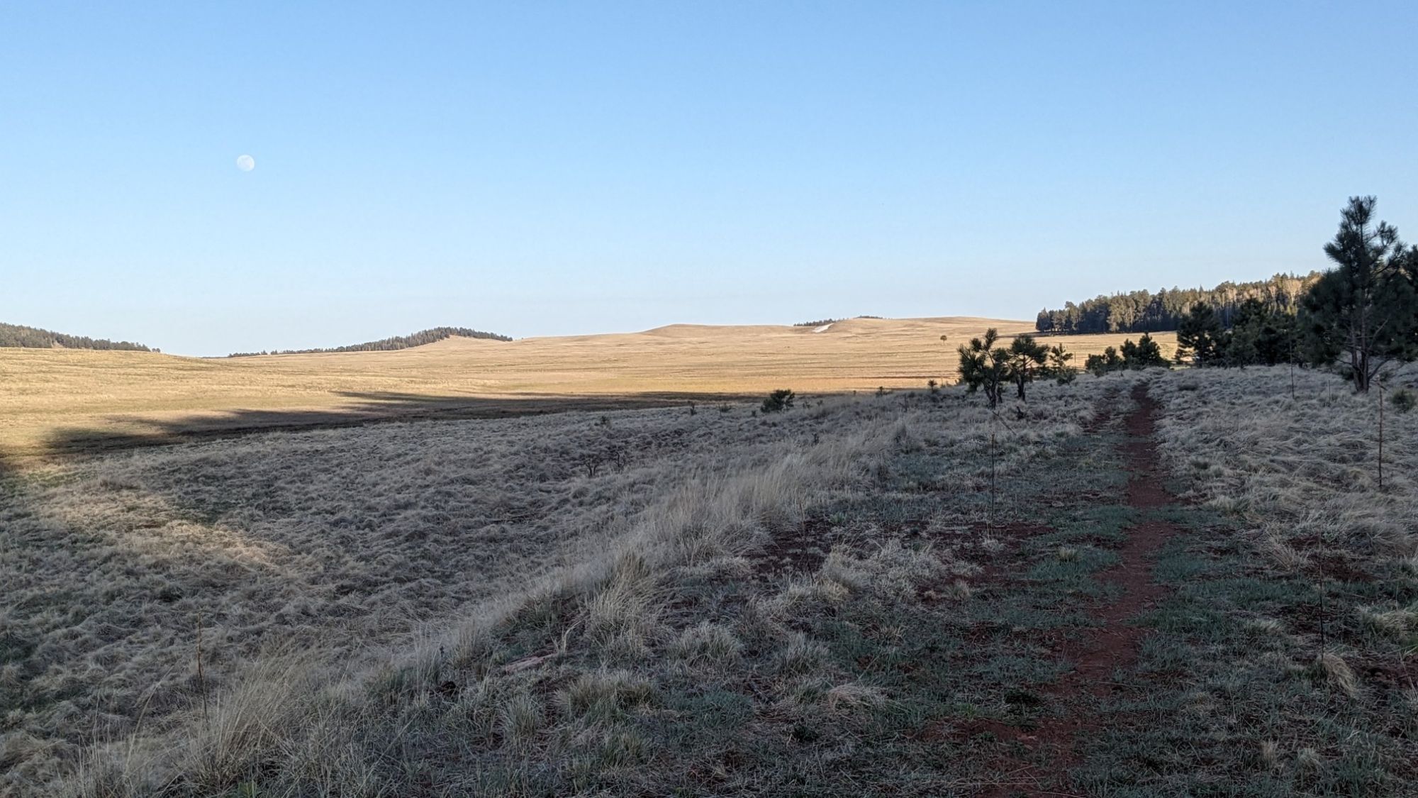
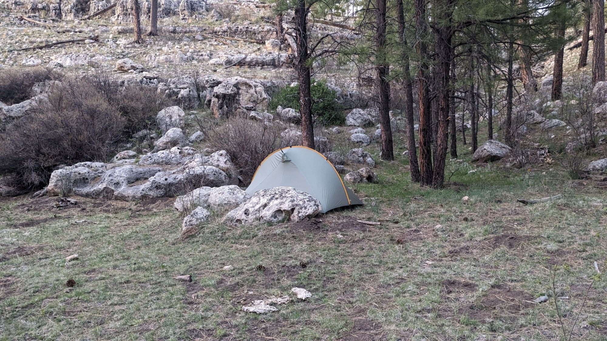
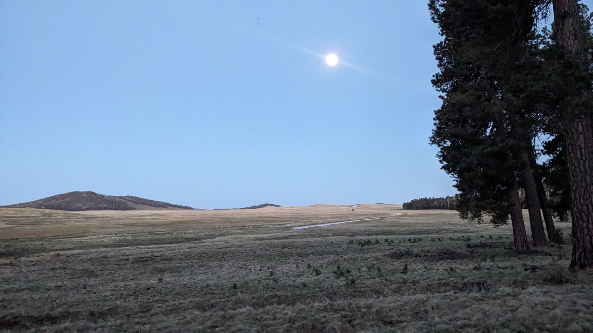
My map showed it would be crossing a meadow for about six miles, and I wanted to camp in the trees, so I decided to stop here near the start of the trail while I still had a forest to camp in. The rising moon looked great from my tent.

Tomorrow I plan to get an early start to hike the 8mi/13km into Greer, which I think is the last real town on this trail.

Monday May 20, 22.5mi/36.2km

Timber Mesa Trail (293.3/6950ft) to Pierce Spring (315.8/8120ft) (Arizona)

It was a nice warm night, perfect for sleeping, and as usual I woke up when the sun hit my tent at 5:30. I hiked all day on various trails in the White Mountains trail network, The first one was the Osprey connector trail.

I dropped down off the mesa into a little meadow and these irises were everywhere.

I crossed a little stream, which is the first one I had seen on the trail in a long time. It looked like a good clear water source but I didn’t need water.

A mile later I came to a little geological oddity called Ice Cave. This whole area has volcanic geology, and this is a little lava tube that goes beneath the surface.

I couldn’t really explore it because it was blocked off by a fence, but it was interesting to look at and feel the cold air coming out of the cave. I had some uphill hiking for the next hour to the top of Blue Ridge Mountain.

While I was at the top I had a phone signal and made arrangements for my food box to be mailed to the last trail town in Blue, AZ. The top of the mountain also had a water guzzler so I visited that and refilled my bottle.

While I was sitting there recharging my phone battery with the solar panel, I noticed these two birds kept coming over to the guzzler and getting a drink.

On the hike down the mountain it was starting to get warmer and I noticed all these little lizards were scurrying across the trail. This one actually stayed still long enough to get a photo.

I came to a trailhead where a guy was doing some trail maintenance. He said he was with Tracks, which is a local volunteer hiking group. I also noticed at each trailhead they had provided a lot of information with different colored binders for each of the trails, and also some waterproof maps.

Despite how windy it had become, it was still a really nice sunny day for hiking.

Some of these trails have the funniest names.

I stopped and had lunch at the junction to Pat Mullen Mountain, a popular short day hike with locals. I chatted with a few of them as they walked by, nobody seemed to understand how I could have walked here from Cottonwood AZ, about 300 miles away. After lunch I had a couple hours of gradual uphill walking and I noticed it was gradually becoming cooler. And then the clouds moved in and it got legitimately cold it was probably only 45°F / 7C.

The trail emerged at a dirt road crossing, and I noticed I was at the boundary of the Fort Apache Reservation.

I stopped and put on a bunch of clothing layers and continued walking down the cold and windy dirt road.

I even felt a few sprinkles of rain, which was the first time this has happened to me during this hike. But an hour later the sun came out and it was no longer windy.

This might be my favorite trail name yet.

I noticed I was starting to see Aspen trees around, and I looked at my map and noticed I was over 8,000 ft elevation.

My goal was to make it to a little spring, so I hiked until 6pm through some very nice pine forest.

I found the little spring and it had some nice looking water. My next task was to find a flat campsite, ideally under some trees, which was much harder to do. But eventually I found a spot under some old junipers, which should give me a little protection from the condensation that will likely happen up at this colder elevation.

Sunday May 19, 6.3mi/10.1km

Hwy 260 (287.0/6600ft) to Timber Mesa Trail (293.3/6950ft) (Arizona)

Since I’m usually awake with the sun at 5:30 in my tent, I also woke up early out of habit in the motel. But I had plenty to do, including washing some gear, planning my next few town stops, and troubleshooting the glitchy Garmin app on my phone. I packed up all the food I bought from the store yesterday, it looks like it will be plenty.

I checked out the motel at 11am and walked down the street to McDonald’s where I knew I could sit for a couple hours and finish all my phone chores while I enjoyed a milkshake and a snack. Eventually by 2pm finished everything and got a short taxi ride back to the trail. (Unfortunately the bus system doesn’t run on Sundays). The first half mile was on pavement…

… But pretty soon I was leaving the developed area behind, and entered Show Low Lake Park.

Like pretty much every lake in the arid southwest, it’s a man-made lake, created by a dammed-up river.

I enjoyed walking along the lake short for a mile and then I turned off into the woods where I saw something that felt a little creepy. There was this wind chime hanging from a tree in the middle of nowhere, with no reasonable explanation for its existence.

That was quickly pushed out of my mind though, when I had to jump a short fence.

Usually the transition from civilization to wilderness involves linking together some unusual features, like powerline corridors. It’s easy navigation though!

I enjoyed a short section of cross country through some meadows.

And then pretty soon I was on a real trail, the Timber Mesa Trail.

It climbed uphill a little bit, to (unsurprisingly) the top of a Mesa.

I hiked this for a couple miles and then around 6pm I decided that was enough for today, and started to look for a camp spot amongst the trees, which were glowing in the orange setting sun.

It was a little windy all day, but it seems my tent is well protected here in the trees.

Saturday May 18, 18.1mi/29.1km

Near Joe Tank Rd (268.9/6590ft) to Hwy 260 (287.0/6600ft) (Arizona)

I was awake earlier than usual, knowing I had 18 miles to do to get to town today. I wanted to get to Show Low by 4pm so I could do my resupply shopping and get the last bus at 5:30 to my motel. So I was hiking at 5:45, passing by more of these trail signs.

That one had come off a fallen tree on the ground, it was cool to see the font up close. It was a pretty easy day of walking on old dirt roads and well it was a pretty easy day of walking on old dirt roads, and the routes are well-marked by those signs.

Fortunately I still had plenty of water from yesterday, so I could skip all the gross looking cow ponds.

The next cow pond was so big, it even had an island in the middle of it! That’s a first.

I also walked by this ancient Toyota pickup, which looked like it had been resting in the Arizona desert for half a century.

The Show Low hiking community is known for keeping good trails, and they are all marked at the junctions like this one.

I had finally exited the massive burn area and was back in the Ponderosa Pine Forest. I was on the lookout for the Chihuahua Pine, which I think I saw a couple but not sure.

The miles came easily, and before I knew it I was crossing under highway 60 in a massive culvert.

The last 6 miles of the day were on a bunch of trails that were clearly used by mountain bikers, since they were very rutted and worn in.

At one spot there was a low-hanging branch over the trail, and somebody had cleverly written the word “quack” on it, ha!

I stopped for a short lunch and ate a bunch of my remaining snacks and then continued on toward the town, since I only had a couple miles to go. Eventually I emerged on a road in a neighborhood called “Starlight Ridge estates” or some such pretentious name.

I was on pavement for a little over a mile, but soon came to the main highway. The neighborhood had put up some unique decorations at the intersection!

I was in town and it was only 1:15, I made much better time than I thought I would. So I did my resupply shopping for this next section, which I think is only about 3 or 4 days long. I decided to experiment a little and buy some different flavors of things.

I finished shopping and I had about 45 minutes to wait for the next bus to come. Fortunately right next to the bus stop is a Wendy’s, where I got a 4-for-4 deal and enjoyed the salty food.

The bus system is great, it was on time and it was only $1. I rode it for a couple stops, like 5 mi up to my motel in the main part of Show Low.

After doing laundry and showering, I went next door to the Domino’s and got a cheap pizza and wings deal for dinner. After dinner I did some more trip planning on my phone and then relaxed with some TV. I love that SNL is on at 9pm here.

Tomorrow, I start section 5 and cross the 300-mile mark of this trail!

Friday May 17, 23.9mi/38.5km

Williams Ranch Bdy (245.2/6600ft) to Near Joe Tank Rd (268.9/6590ft) (Arizona) +0.2mi water searching

I could tell it was going to be a hot day when I left camp at 6:30 and it already felt warm. I hiked along the Williams ranch for a little while, noticing their gargantuan fence to keep out the wild horses.

I came to Cottonwood wash, my first water source for the day. While it wasn’t silty, the water seemed a little thick with aquatic life.

It was nice to hike in the shade of the trees as I made my way up Cottonwood wash.

But pretty soon the trees ended, and for much of the day I would be hiking in a massive burn area from 2002. This is also when the roller coaster started. I would hike uphill…

… Only to come right back down within a mile.

As I hiked westward and got closer to Show Low I noticed trail quality improved. There were signs too!

And then of course I climbed another uphill, which also had a nice set of trail markers, “White Mountains Trail System”.

After another downhill to complete that cycle, I came to my first good water source for the day. It was a piped spring, and I was able to fill my bottle directly from the hose which was nice.

Since it was almost lunchtime, I decided to eat there and drink as much water as possible since I didn’t want to have to carry extra water. The afternoon was full of scenic hiking, but without the tree cover it was pretty warm.

Some small pockets of forest had escaped the 2002 fire but mostly it was in the sun.

After another climb I descended through this nice grassy valley.

And finally I came to my last water source for the day. It was a nice little riparian area with some pretty decent water.

I don’t expect to see any good clear water between here and town tomorrow, a stretch of about 25 miles. I filled up a third liter and made my backpack heavy. Hiking back uphill, I soon arrived at a trail junction, the signage was a little confusing. A shortcut to what?

I had one more roller coaster bump for the day, I hiked uphill for a while to the top of Juniper ridge.

Still going up. I could see the tower in the distance.

At the top of Juniper ridge, I was at an elevation of 7,000 ft and it was nice and cool. I took a break in the shade of some short trees and enjoyed the views.

I still had about 2 miles ago before I could get to a spot where the terrain looked flat enough to camp. I made my way back downhill, following the trail through a pretty severely burned section. Someone had some fun with this dead tree and decorated it with smooth stones, ha!

In the distance I could see a little copse of pine trees, and I aimed for that to camp. The strategy worked out pretty well, and I was able to find a flat-ish spot underneath some trees and get setup before it got dark.

Thursday May 16, 23.0mi/37.0km

Wilford Canyon (222.2/6760ft) to Williams Ranch Bdy (245.2/6600ft) (Arizona)

I left my camp at 6am, and apparently I had camped in a damp meadow, so I would be needing to dry out my tent at lunch. As soon as I hiked uphill out of the shaded meadow, the day warmed quickly.

Pretty much the whole day I hiked up on a Mesa/plateau, there was barely any elevation change. I passed by several of these guzzlers today, they are designed to catch and store water for wildlife, but they also come in handy for hikers too.

And of course there were also a few of these storage ponds as well, they all looked quite silty, and I would only drink from them as a last resort.

In this one part of the forest someone had come through and spray-painted half the trees with an orange stripe, I presume this means they are to be cut down. It looked kind of ugly with all the paint.

But mostly it was just a nice hike through the forest.

A couple times an hour, I would come across a surprised pack of wild horses. Usually it would be a couple of Mares with a couple of young horses, probably yearlings. I was following the General Crook Trail most of the day, which was marked by these white metal chevrons on the trees.

At lunchtime I stopped at another guzzler and refilled my water bottles.

There just happened to be an employee there from Arizona Game and fish, who was refilling the tank from his truck.

Rusty was a nice guy and we ended up talking for almost half an hour about all the different animals that live around here, like antelope and elk. And apparently all these horses are becoming quite over-populated, and the Forest Service is coming up with a plan to reduce them. After he left, I went back to eating my lunch.

The afternoon was relatively uneventful, I passed by more of those gross looking ponds.

I spent hours just walking down old dirt roads, and seeing wild horses.

Yup, not every day is exciting, but it was nice to just walk in the nice weather.

Around 3pm I took a break and joined a meeting call. I’m on the advisory board for a winter education program, and we meet a few times a year to organize the “Winter Mountaineering School”. I sat in the shade as we reviewed spreadsheets, budgets, and other details. Fun!

My phone battery was running low, so I had to leave the meeting early and I continued hiking down the trail. I saw a few strange things, like the stair stringer.

And this pile of bones somebody had placed in the middle of the trail.

As the shadows lengthened later in the afternoon, I enjoyed the shade of a Ponderosa forest.

And the unusual lighting of the sun hitting the tops of the junipers.

Around 6pm I stopped and found a place to camp, as I knew the next mile or so would be passing by a private ranch. Up at this elevation, it’s not hard to find a decent camp spot in the Ponderosa forest.

Wednesday May 15, 16.0mi/25.8km

W. End of Forest Lake Estates (206.7/7600ft) to Wilford Canyon (222.2/6760ft) (Arizona) +0.5mi to General Store

I slept in late, since I only had a mile to go and nothing opened until 9am. When I walked out of the forest, the first thing I saw at the edge of town was this ridiculous looking fake tree.

I got to the post office at 8:30, which was a little early so I sat on the bench outside and read my book while I waited.

Just after 9am I heard someone moving around inside so I opened the door and got my box of food.

I performed the usual magic trick of getting all of that food inside my little blue stuff sack, and then hiked down the road to the general store. There are two general stores in Forest Lakes, and I decided to hit them both.

At the first one, I got a ham egg and cheese croissant with a couple beverages, and sat outside at a picnic table while I charged my phone.

After sitting there for a couple of hours, I decided to hike a mile further down the street and stop at the second one for lunch.

When I was walking around inside, I saw they had a microwave but not much microwavable food. I picked up one of the few things I could find that I could reheat, pizza!

By 1pm I had enough of sitting around in town and there was nothing further to do, so I hiked out.

Most of the day was very easy walking on old roads, and occasionally following some herd paths, which I think were created by the wild horses that live here.

Some people have too much time on their hands…who hung a skeleton on a tree?!

I had been trending downhill for awhile, and I noticed through the trees up ahead there appeared to be a lake.

Yup, definitely a lake.

It was called Black Canyon Lake, and I saw a few people out fishing on it while I hiked around it.

I even got to get up close to the spillway, I love these civil engineering structures.

For the rest of the afternoon, I hiked down Black Canyon. There were wild horses everywhere!

It was easy following the old road through the Canyon, which had now become more like a deep valley.

The scenery was nice, and my mind would wander until I would randomly hear a “plbttttt” noise from an exhaling horse.

At the very end of the day I left Black Canyon, and started to walk up Wilford Canyon. I could see just to the west some dark storm clouds. It was still sunny where I was, which made for some very cool lighting on the hillsides around me.

It was very windy, so rather than continuing onto my planned camp spot which was at the top of a hill, I decided to camp in the valley just before it.

Even down in the valley it was kind of windy, so I tucked my tent behind some big boulders for shelter.

Tuesday May 14, 19.7mi/31.7km

Above See Canyon TH (187.0/6500ft) to W. End of Forest Lake Estates (206.7/7600ft) (Arizona)

I departed my little camp site in the junipers just after 6am and had a nice little jaunt through the forest, switchbacking my way downhill towards Christopher Creek.

I collected some water from the creek, and at the trail junction noticed the names of the canyon that it’s in. Ha!!

I enjoyed hiking in the lush greenery near the creek for a little while.

The trail slowly climbed out of See Canyon, and then I enjoyed a flat couple hours of hiking on the last section of the Highline Trail.

The eastern terminus of the Highline Trail had a bench and a sign explaining the 60-mile long trail.

I took a nice long break on the bench, and after a while it got pretty warm so I decided to get up the next climb before it got too hot. I had just over 2 miles to get to the top of the rim, which was about 800 ft above me. I hiked up an old roadbed which was a nice gradual grade the entire way, and before I knew I was standing on top of the rim looking down at the valley.

It was noticeably cooler and a little windy up here. I followed on the Rim Lakes Vista trail for a couple of miles, enjoying the scenery as I traced the edge of the rim.

I took another break at a trailhead, and a nice couple approached me offering me water. There was water coming up pretty soon, but my water filter is old and slow, so I accepted their offer.

From there I followed a dirt road for a little while, which passed by this tiny little pond full of aquatic grasses.

Pretty soon I came to Willow Springs Lake, which was the first (and probably last) lake I’ve seen on the MRT.

There was a very busy and crowded area at a boat launch, and I quickly walked through the chaos. The Forest service did have this neat old-timey sign at the trailhead though.

Just as I was rounding the outlet of the lake, I came across two other long-distance hikers, Buck-30 and Steady. They are hiking the “Four Corners Loop” and I knew from messaging with them previously we would cross paths out here somewhere. We had a longish conversation in the middle of the woods, lots of fun to talk about trail stuff!

But, onwards. We all had places we needed to get to camp. I left the lake and continued on roads for a few more miles, and passed a few more little ponds along the way where I refilled my water.

When I got to the Larson Ridge camping area, I had a nice roadwalk through a mature pine forest and everywhere looked like good camping!

While I was searching for spots to camp, I also saw some animals in the trees. Upon closer inspection there were groups of wild horses running around this area. Neat!

I hiked as far as I could before I would enter a residential area, so I stopped to camp in the Ponderosa pines a quarter mile before that. Tomorrow is a quick town day, in the summer resort village of Forest Lakes!

Monday May 13, 21.2mi/34.1km

Road FR144 (166.0/6580ft) to Above See Canyon TH (187.0/6500ft) (Arizona) +0.2mi new trail reroute

I woke up at 5:30am, to the sound of coyotes very nearby. Now that’s a cool alarm clock! Just after 6am I was heading down the trail, and just like yesterday it was nice and new and smooth.

Until all of a sudden, it wasn’t.

It looks like this was as far as the construction crew had advanced. From this point onward, for the rest of the day the trail alternated between quite rocky and relatively okay. The rocky bits looked like this:

Sometimes it was less rocky when I was hiking through a grassy field or through a dense pine forest. At one point I was hiking through a farm field and noticed an old chimney nearby.

Yesterday the new sections of trail had been constructed to go around all the little ups and downs, whereas today they just went right up and over each one.

At a few spots I got to walk on some slickrock benches which are always pretty cool.

Just like yesterday, I was crossing a little stream about every hour. Some were in a little slickrock gully…

….while others were in a mature forest.

On this particular stream, somebody had helpfully put down a bunch of branches as a bridge. Ha!

I stopped next to one such stream and had lunch for a while, enjoying the shade and the sound of running water.

Later in the afternoon one of the streams that I crossed had a legit bridge, made of purposely cut logs.

I had exited the burn area just before lunch, and now the mature forest was back all around me.

I was quite surprised to see this wetland creature hopping about through a dry region.

Sometimes the forest would open up, and I would get expansive views on the valley to the south.

Sometimes the character of the forest would change so suddenly, and it seemed to be related to the red soil type. It was such a contrast!

I was approaching a trailhead, and I decided to stop and camp before I reached it. I don’t like camping near drivable roads, since people bring all sorts of unpredictable-ness with them. I hunted around for a spot in an open forest, and eventually found something under a couple small juniper trees. For some reason they had thinned out (cut away) many of the nice pine trees, leaving an awkwardly sparse forest. I saw no people today, it’s pretty remote out here!

Sunday May 12, 22.1mi/35.6km

Highline Trail at Geronimo Trail Jct (146.7/5640ft) to Road FR144 (166.0/6580ft) (Arizona) +2.8 gps correction

I had a good night of sleep camped under my juniper trees. As usual the sun was up at 5:30 and I was hiking just after 6am. I hiked on the Highland Trail all day today.

It’s a national recreation trail that spans for like 60 miles just below the Mogollon Rim. Sometimes I would hike through a little lush green forest…

And then it would open up to big vistas with red sandy soil.

And there were so many water sources today! Every little creek coming off of the rim crossed the path, so I saw water about once an hour.

I never carried more than a liter of water today and sometimes I carried no water at all, it was great. My favorite part was when the trail would cross these big slickrock benches.

I stopped for lunch next to a creek and a dirt forestry road, and then shortly after lunch, the Arizona Trail split off from the Highline trail.

I thought I would see at least one AZT hiker, but I think they have all come through here a couple weeks ago. In fact I only saw two people (and their dog) all day, near the Washington Park trailhead. My mind wandered all afternoon, interrupted by various amazing vistas.

One of the creeks looked like a little water slide, which was pretty neat.

A bunch of little puffy clouds arrived in the afternoon, and started making interesting shadows on the rim.

This gate was strange, it had a sign that said “fire” when clearly there hadn’t been fire here in many years. Maybe the sign should have said “burned area” instead.

Way off in the distance behind me, I could see the smoke from the Wolf fire creeping down into the valley from the rim.

Mostly just pleasant walking all afternoon.

At the end of the day I found myself in the middle of a burn area from 1990. Though it had mostly recovered, it was still difficult to find good camping amongst the charred logs and ashy soils. As I was searching the landscape, I did come across this weird looking water catchment system.

I didn’t even need water, but it made a fun puzzle to figure out how the thing worked. With the puzzle solved I went back to finding a camping spot, and I located a spot underneath some pines a few hundred meters away. Today felt unusually tiring, given how easy and flat the trail was, and then I looked at my GPS and realized that the map was off by almost 3 miles. I had actually hiked 22 miles, even though the map said it was only 19. I think the Highline Trail had been upgraded over the years, with many switchbacks added. Hopefully tomorrow the trail map is a little more accurate to reality.