Weeks 11 & 12 – Reds Meadow to Echo Summit (mile 906 to 1090)

Another amazing week in the Sierra – even more alpine lakes & marmots, a little less altitude, and with some new characters – mosquitoes! Oh, and smoke from a nearby wildfire (california-speak for forest fire).

Day 56: Monday 6/15/2015, 16.9mi/27.2km

IMG_20150615_124357_746[1]
The “Mammoth” of Mammoth Lakes
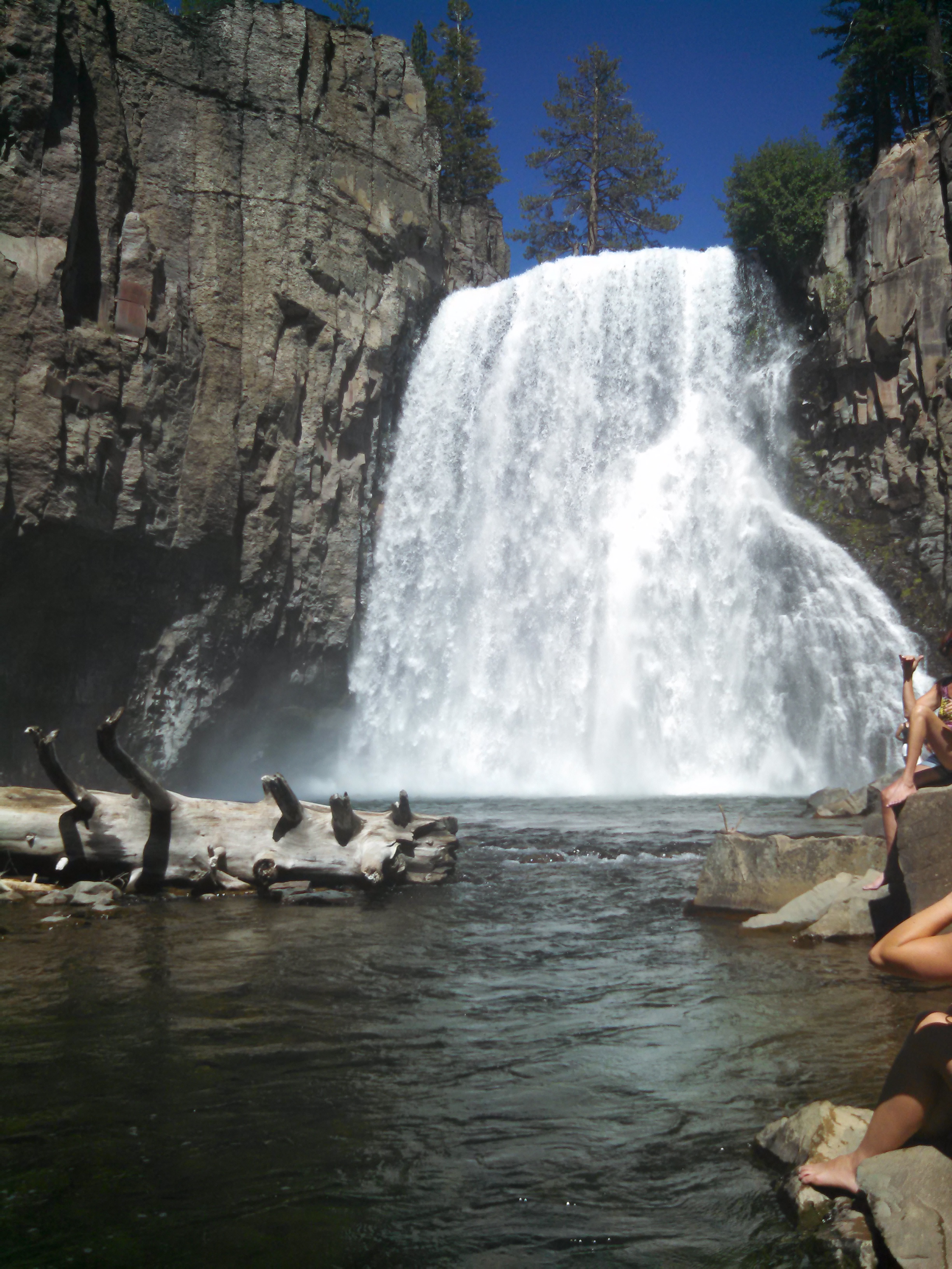
Rainbow Falls
Rainbow Falls
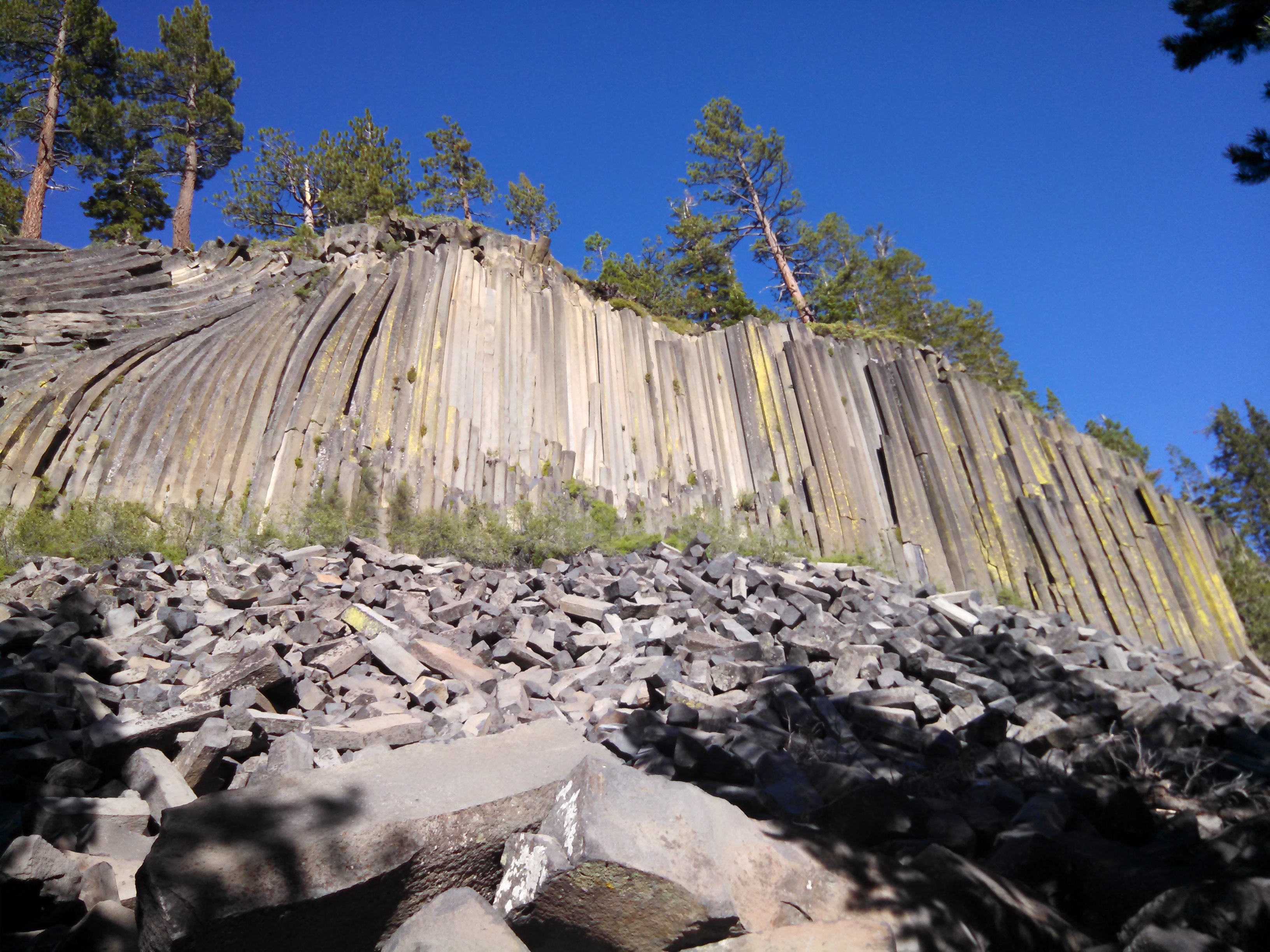
Devil's Postpile
Devil’s Postpile
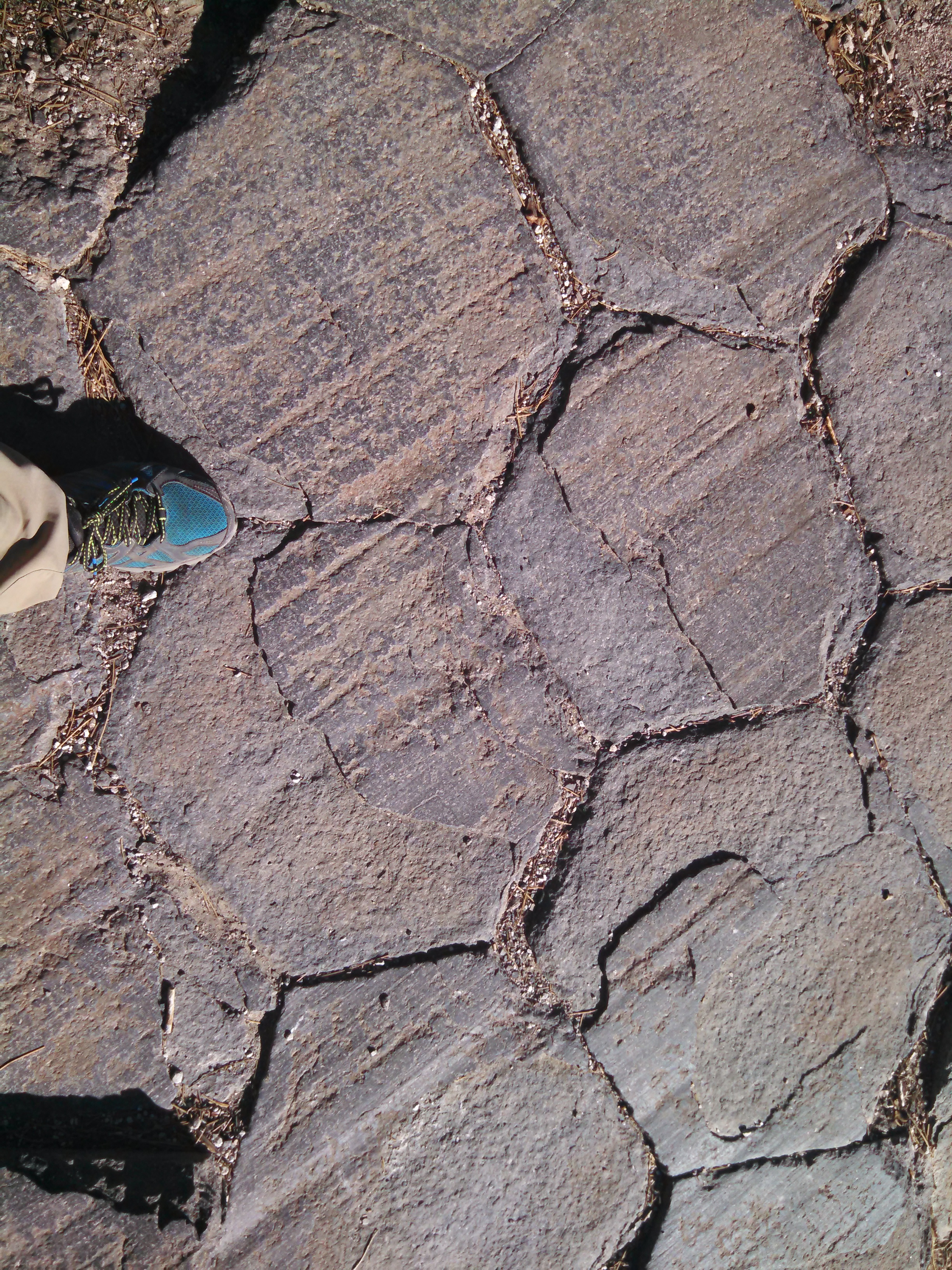
Close-up of the hexagonal rocks...neat
Close-up of the hexagonal rocks…neat

Day 57: Tuesday 6/16/2015, 22.5mi/36.2km
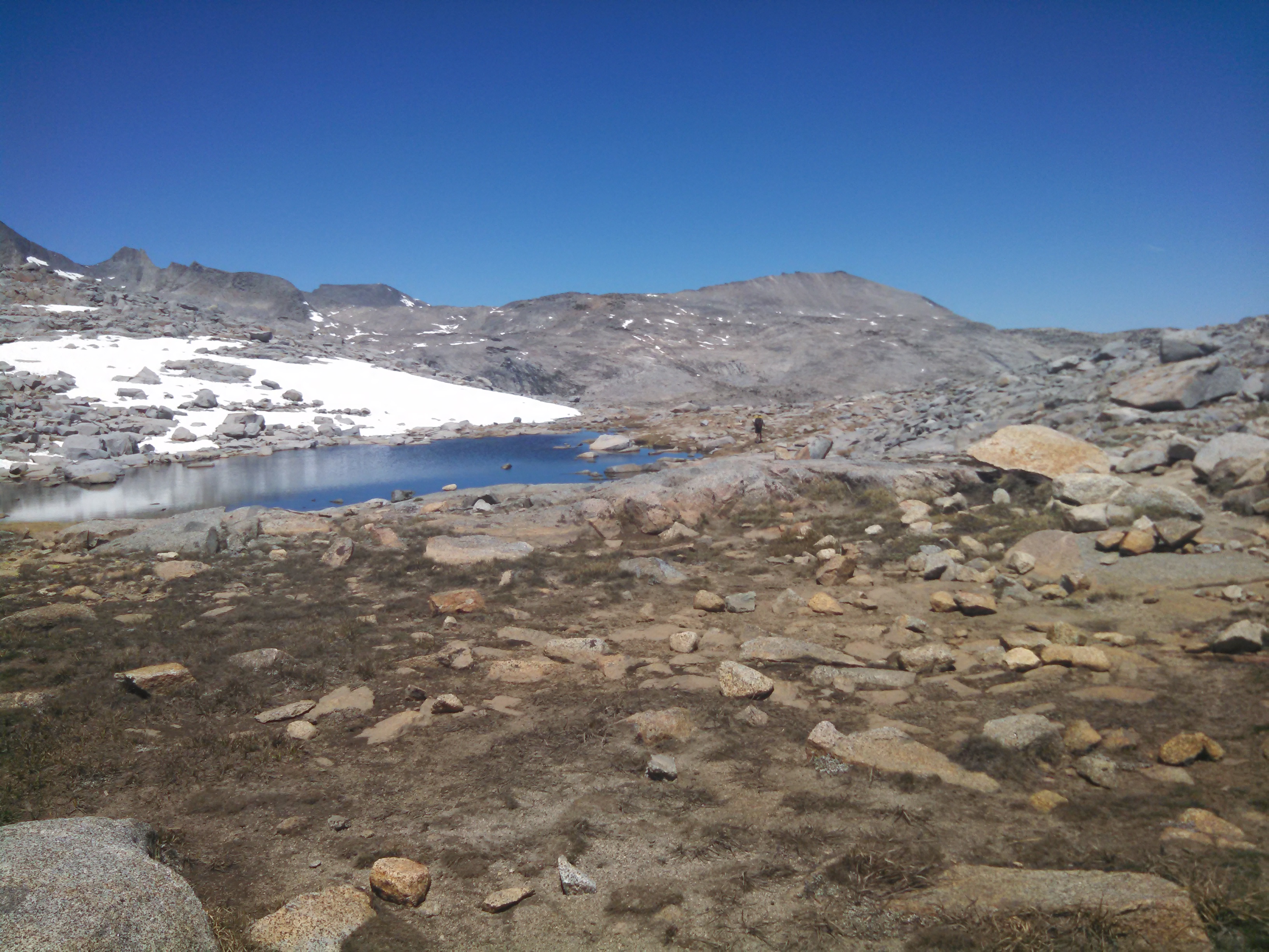
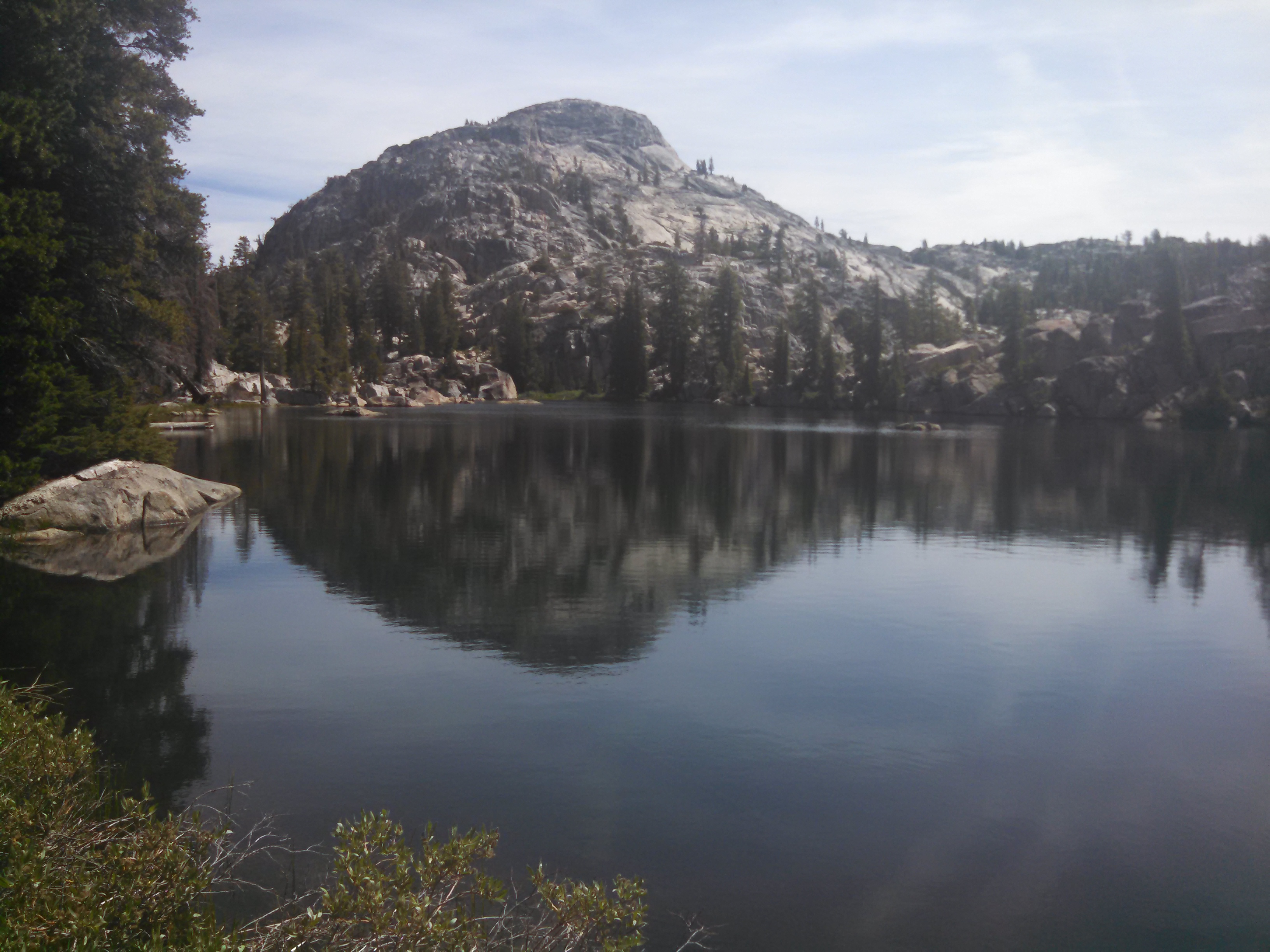
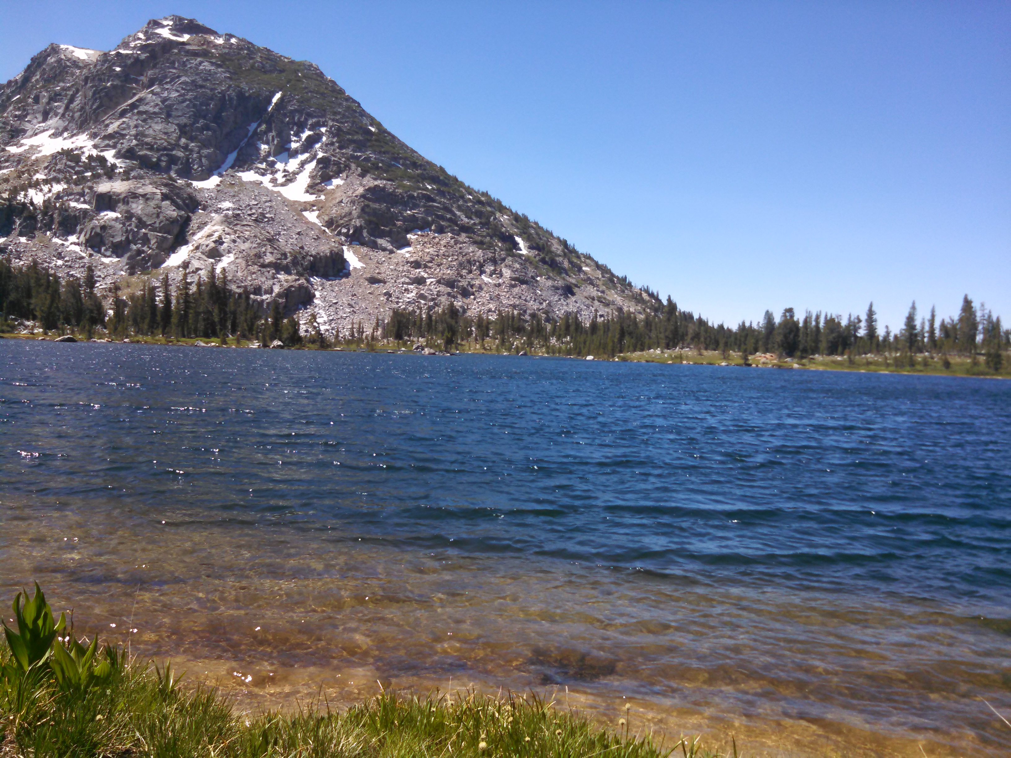
Alpine Lake
Alpine Lake

Day 58: Wednesday 6/17/2015, 21.7mi/34.9km

Since the PCT and the JMT (John Muir Trail) are concurrent for 190 miles, I decided to hike the last 22 miles of the JMT from Tuolumne down to Yosemite valley. An “easy” day since it would descend from 8600 feet down to 4000….an easy 22 miles.
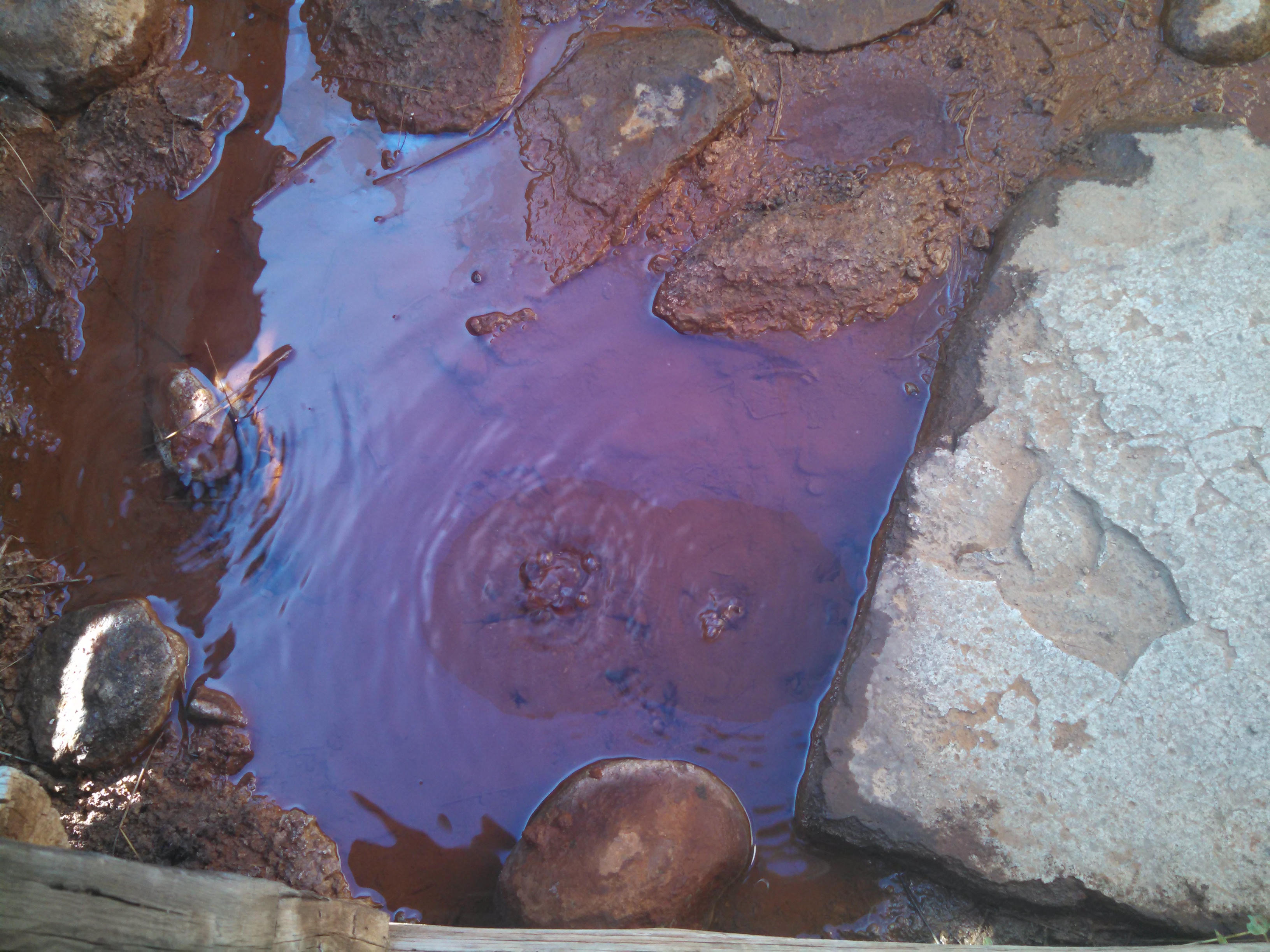
Soda Springs...CO2 bubbling from the ground
Soda Springs…CO2 bubbling from the ground
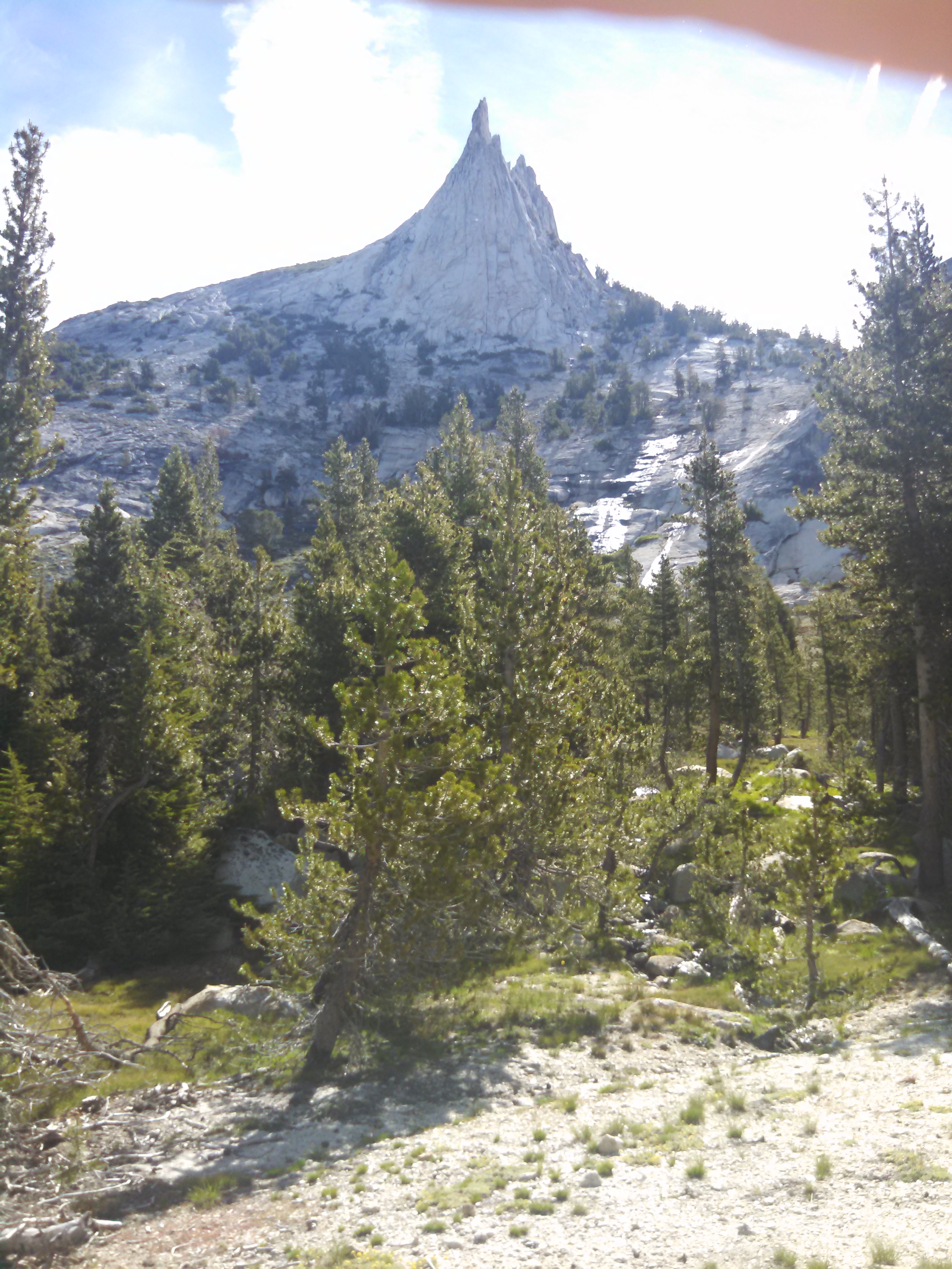
Cathedral Peak from the John Muir Trail

Apparently bears are also ninjas…scary.
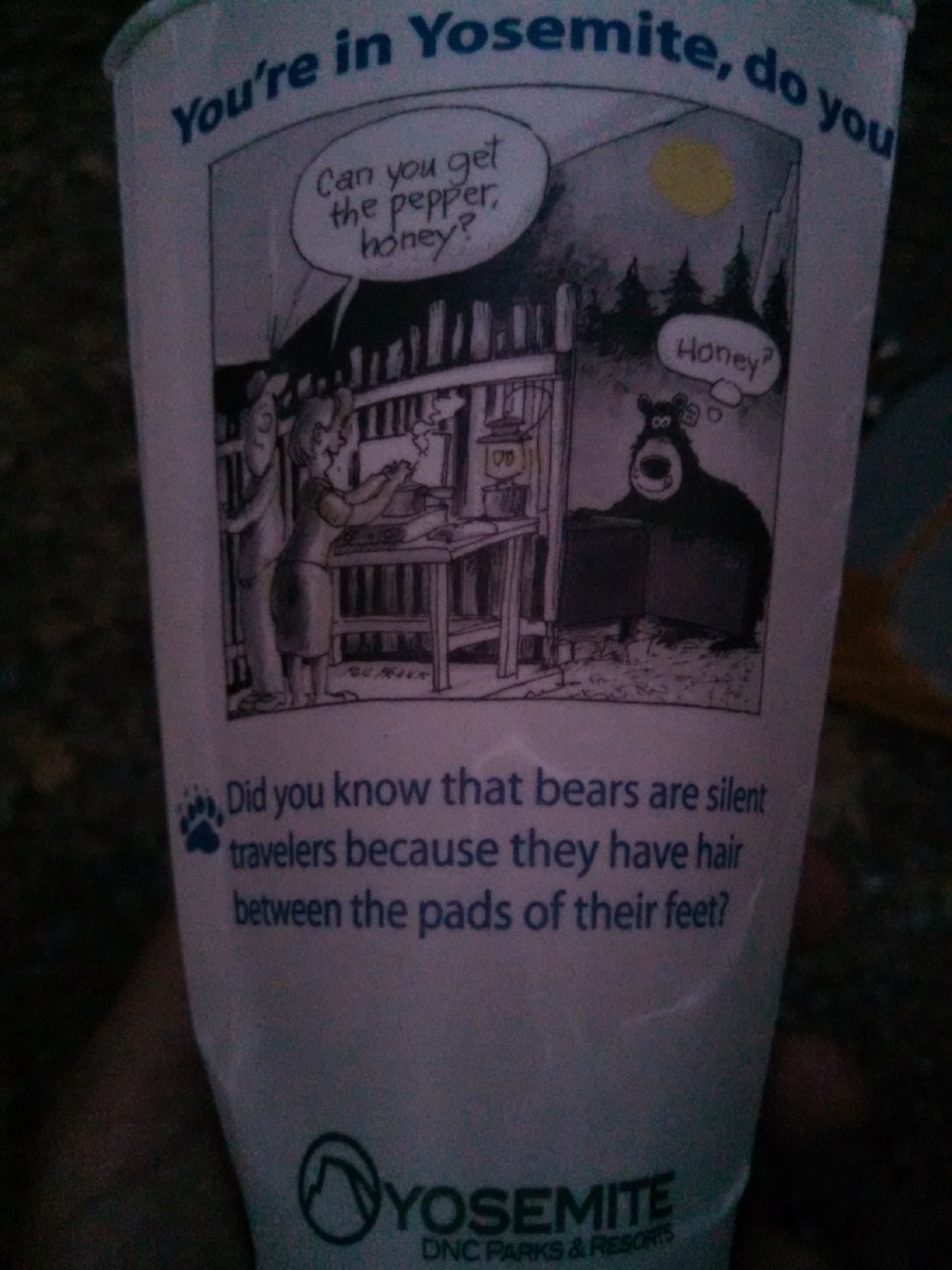
Cute. On every cup in Yosemite valley

Day 59: Thursday 6/18/2015, 13.0mi/20.9km

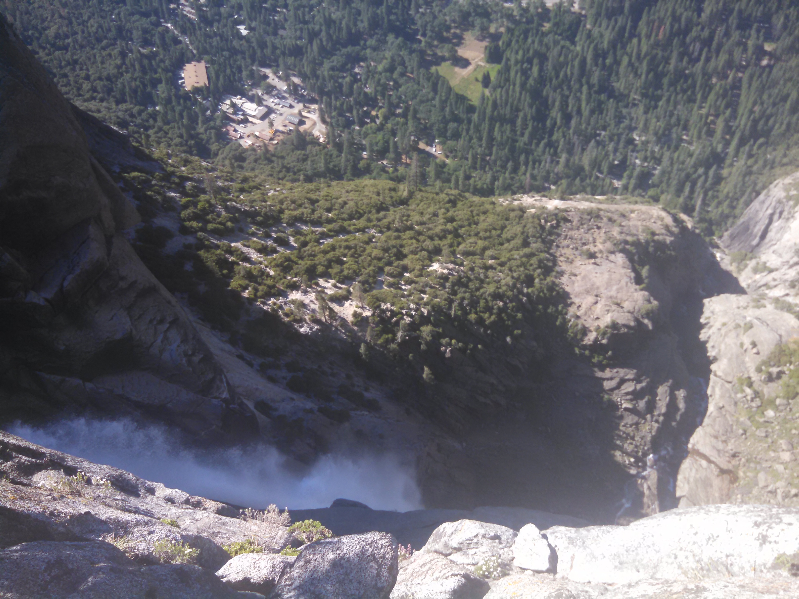
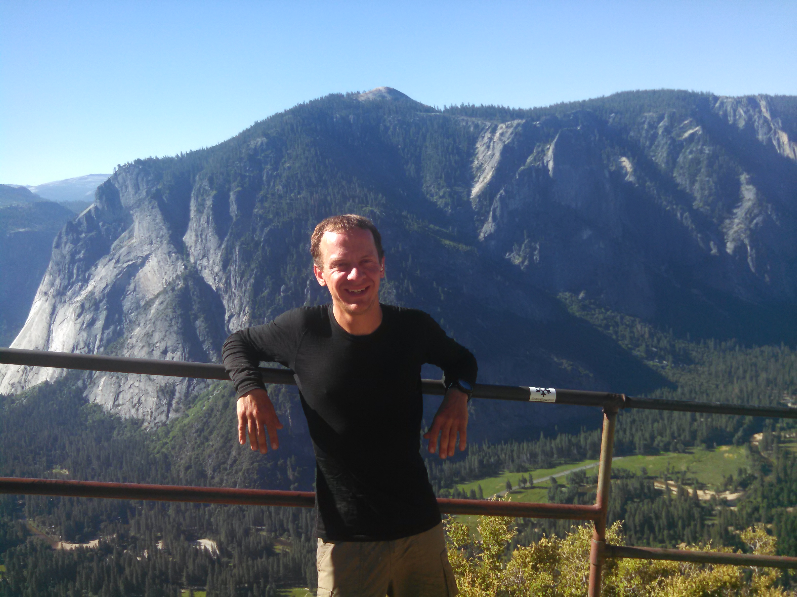
Upper Yosemite falls. Its like 2,400 feet tall, one of the tallest in the world, I think.
Yosemite falls from the top. Yes, there is a safety railing not pictured.
Yosemite valley in the background.

Day 60: Friday 6/19/2015, 20.2mi/32.5km
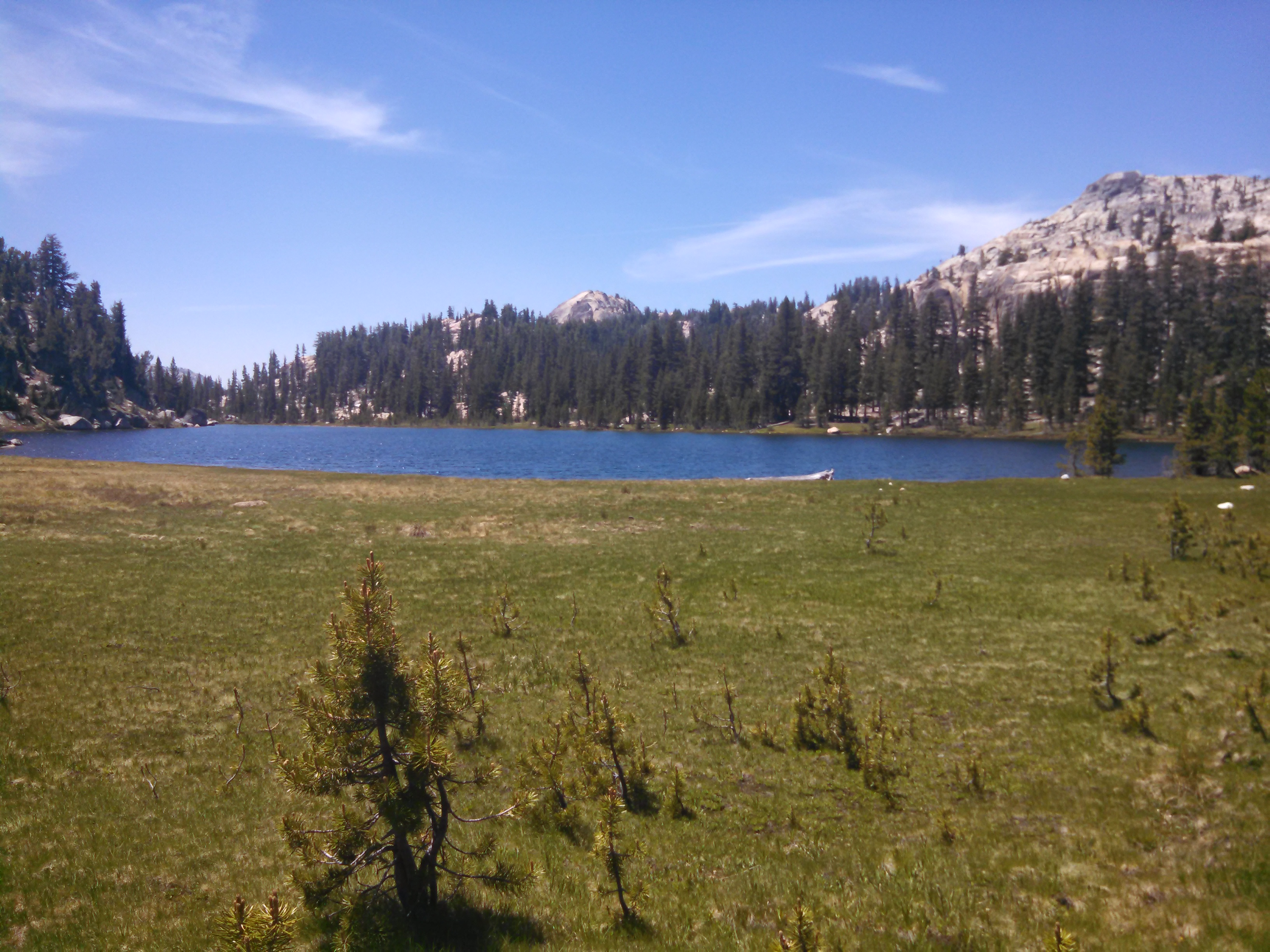
The mountains are getting greener!

Day 61: Saturday 6/20/2015, 18.9mi/30.4km
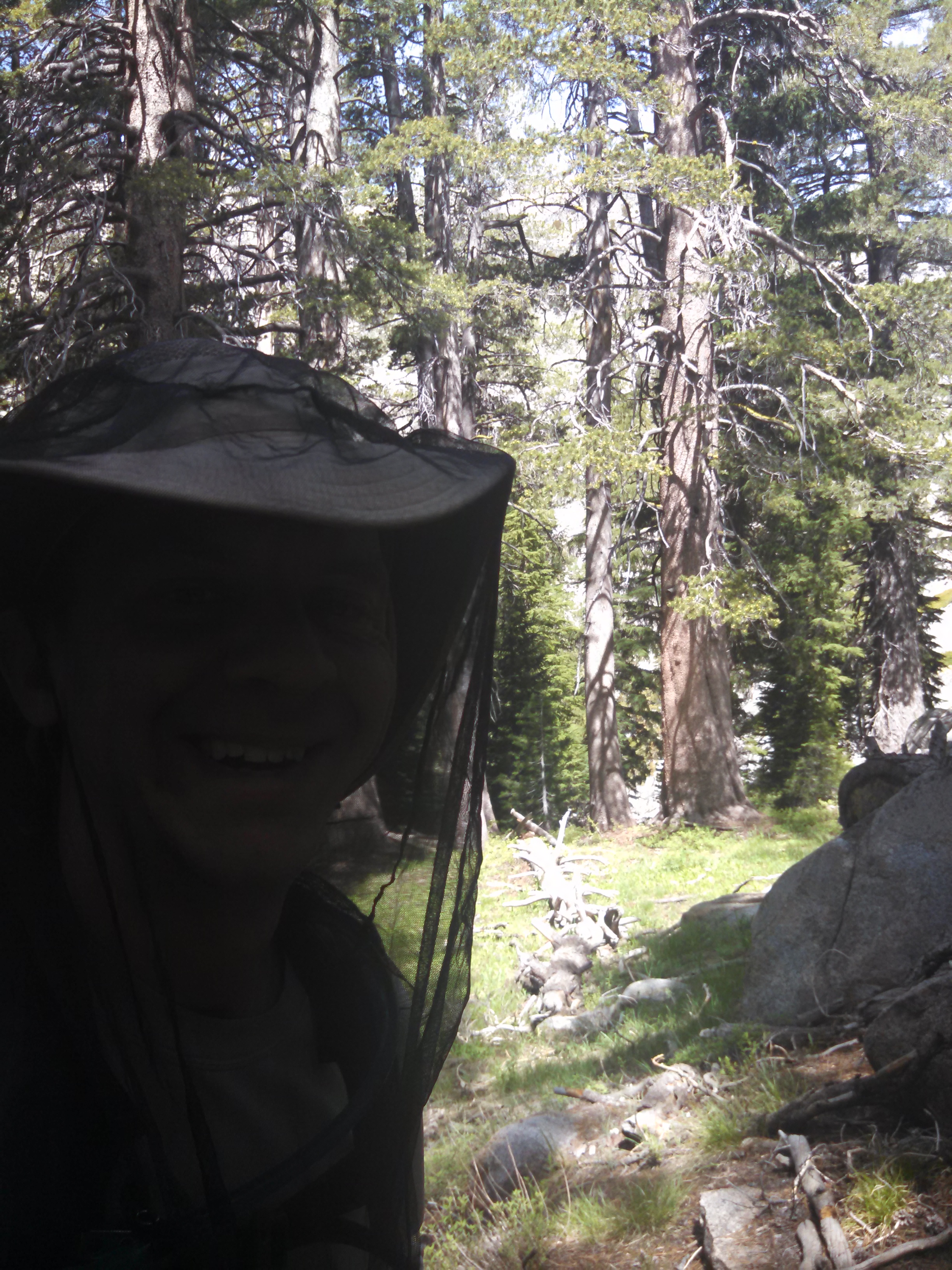
Anti-mosquito force field, active.
I would love to swim in this lake...if I wouldn't be sucked dry by mosquitoes first.
I would love to swim in this lake…if I wouldn’t be sucked dry by mosquitoes first.

Day 62: Sunday 6/21/2015, 19.5mi/31.4km
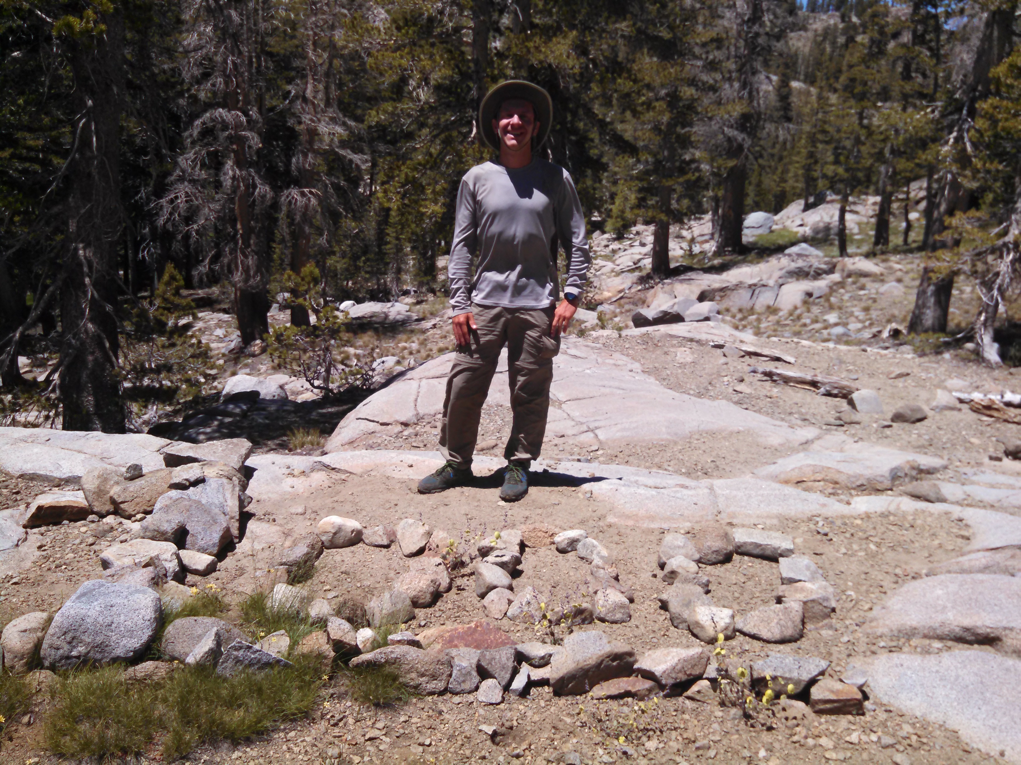
Mile 1,000!
Mile 1,000!
Cold but swimmable! I never liked 98.6F, anyway.
A very creative 1,000 mile marker.

Day 63: Monday 6/22/2015, 21.1mi/34.0km
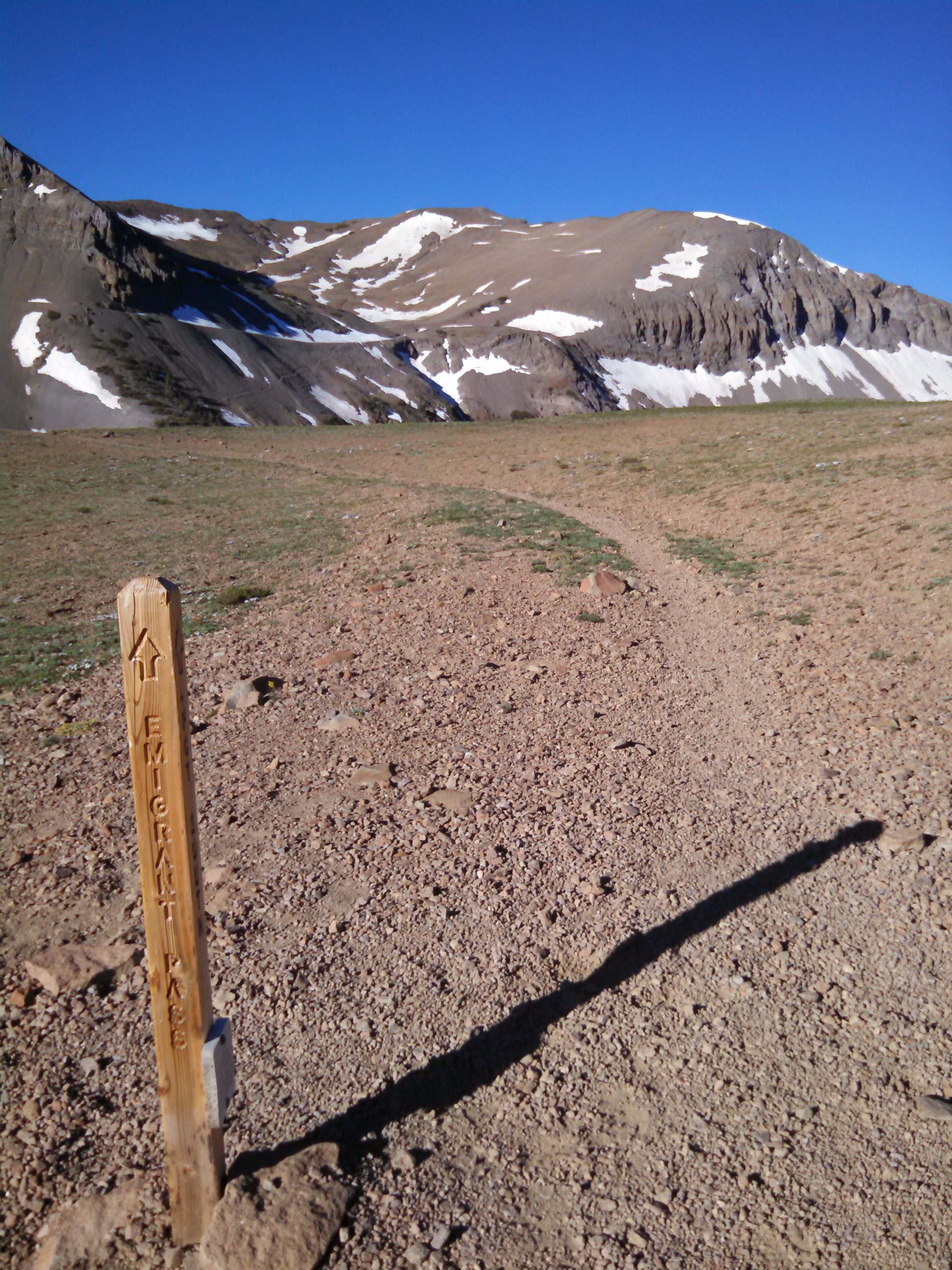
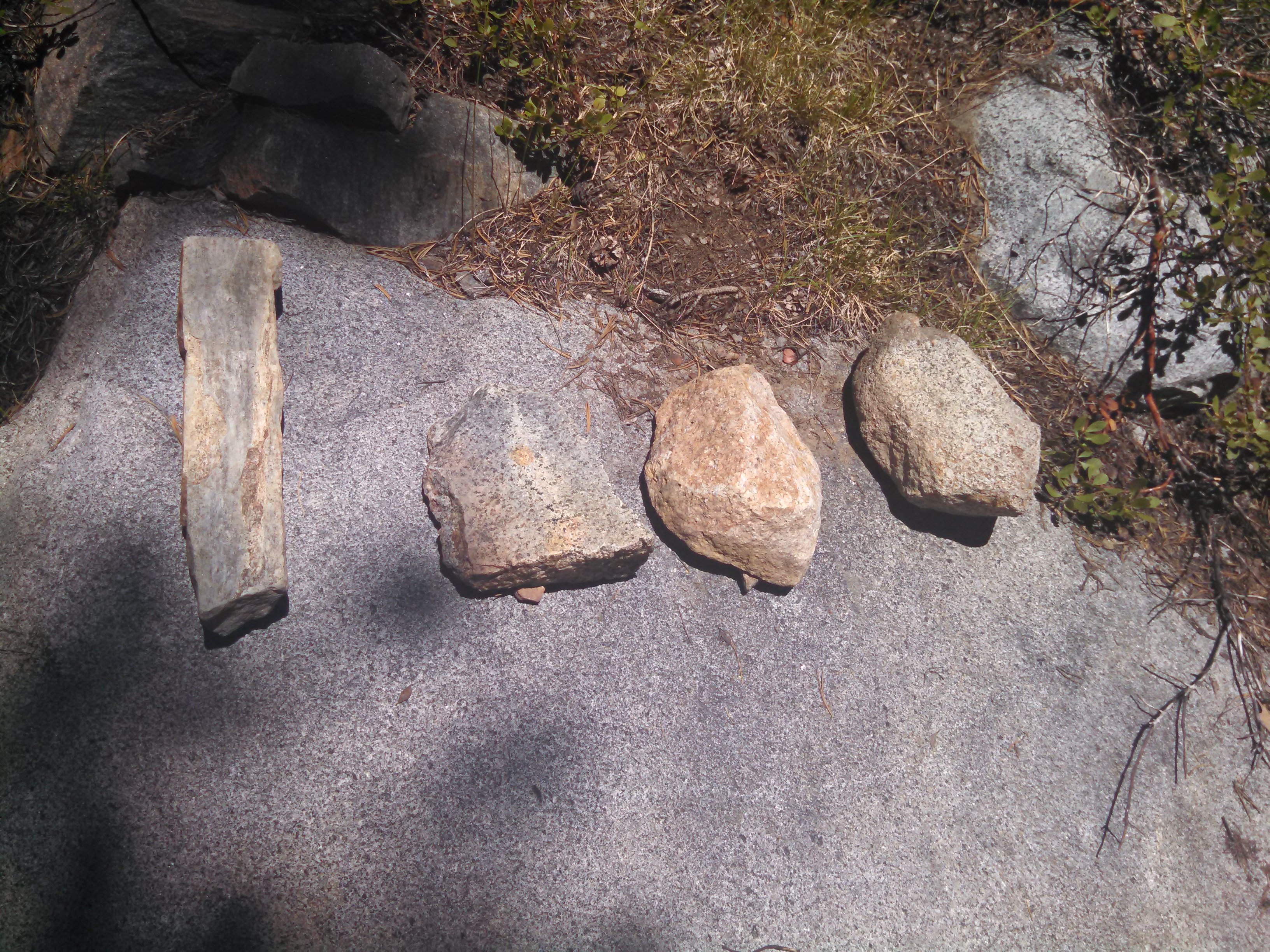
This is where the granite disappears, and volcanic ankle-turny rocks appear!

Day 64: Tuesday 6/23/2015, 30.7mi/49.4km

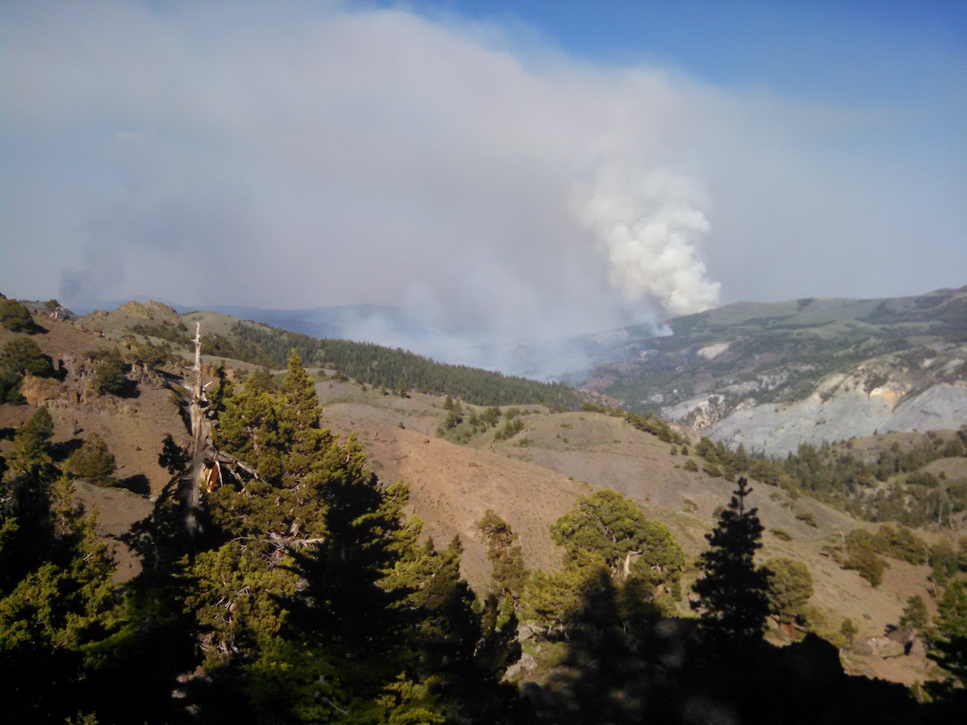
I didn’t get too many pictures today or tomorrow, I was too busy hiking 30+ miles each day, to put as much distance as possible between myself and a “small” forest fire near Markleeville CA, about 4 miles from the trail.
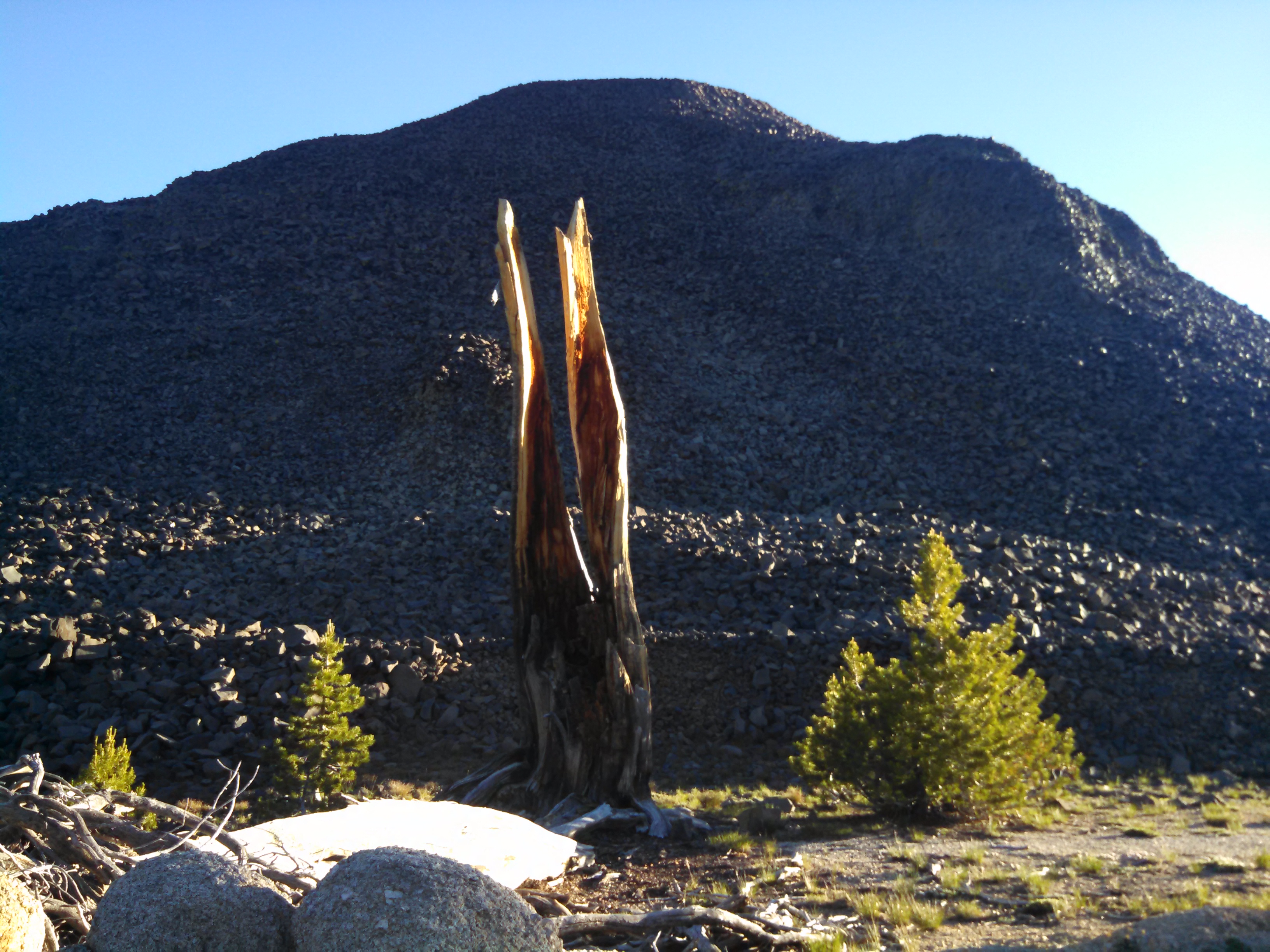
Probably the world's largest cairn. Or in Northern-Sierra speak, "mountain"
Probably the world’s largest cairn. Or in Northern-Sierra speak, “mountain”
Smoke from a not-so-distant 13,000 acre wildfire

Day 65: Wednesday 6/24/2015, 23.4mi/37.7km
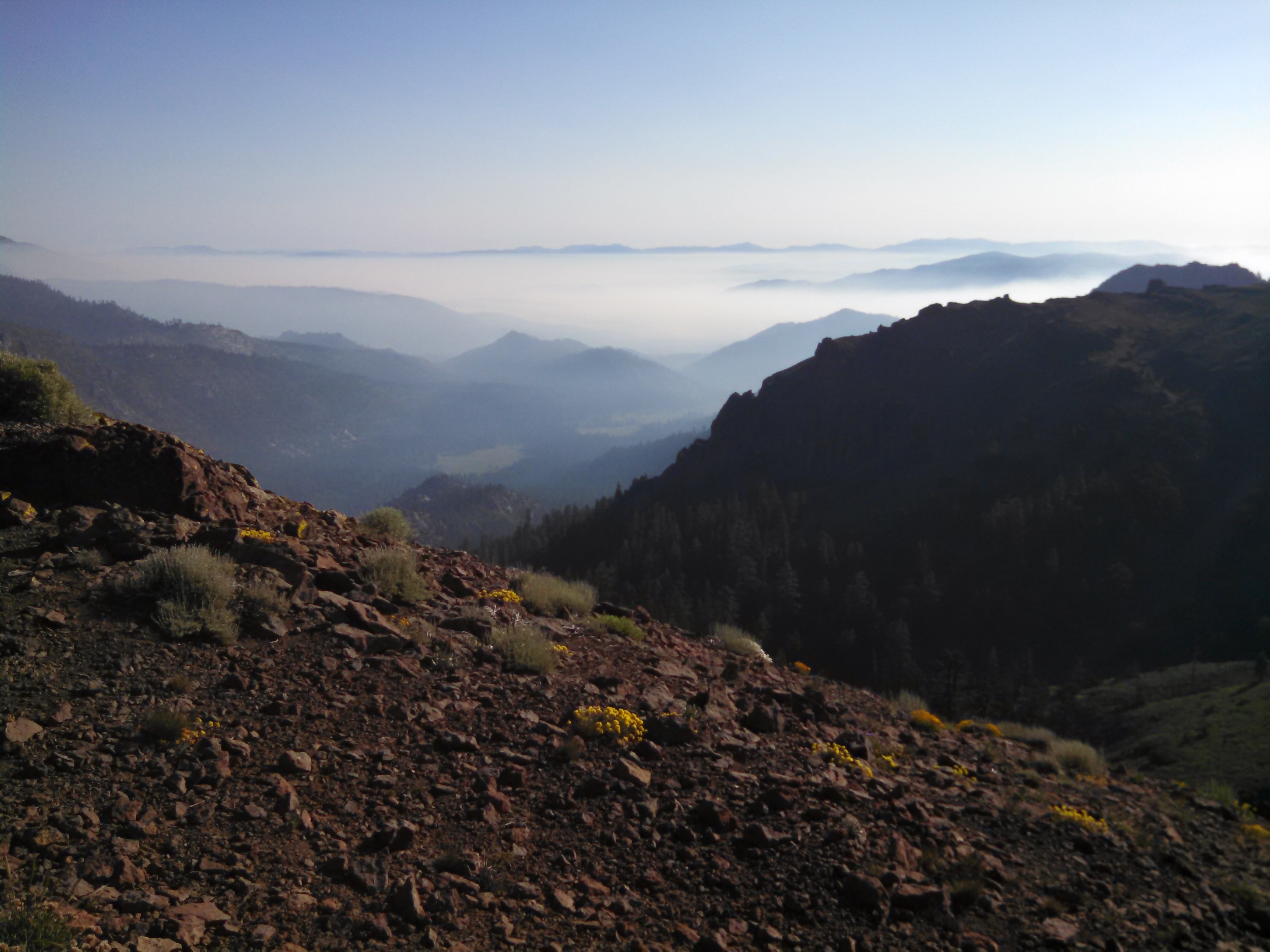
Early morning view of smoke in the valleys
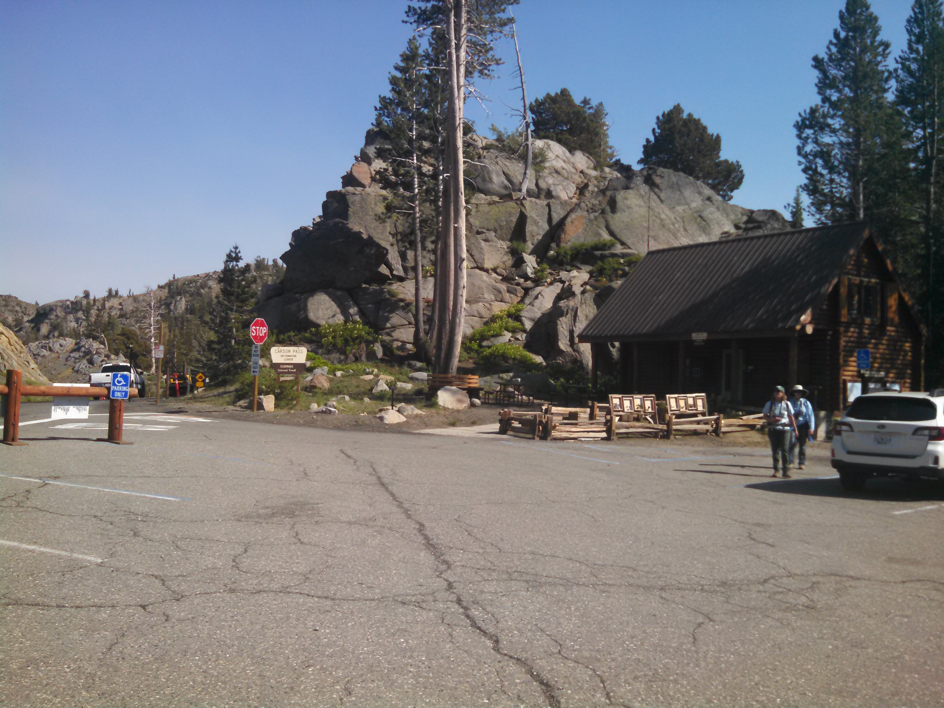
Carson pass visitor center. Some surprise trail magic, and some incredible people at the info center!

Day 66: Thursday 6/25/2015, 7.9mi/12.7km

I got off trail today, and went into South Lake Tahoe to meet up with my friends Jeremy and Kim (and get a shower/laundry, for their sake!)
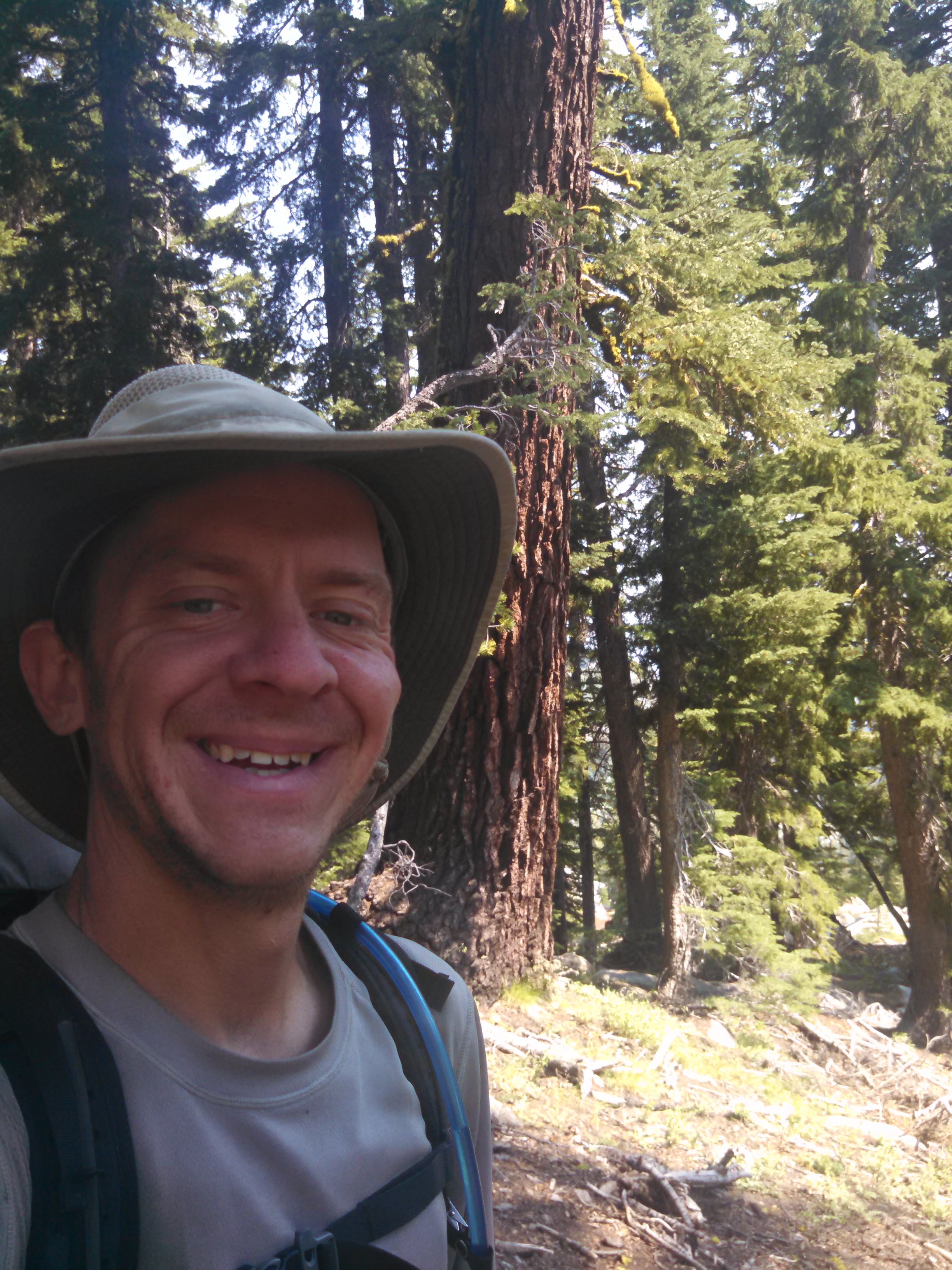
Happy to be on the trail!
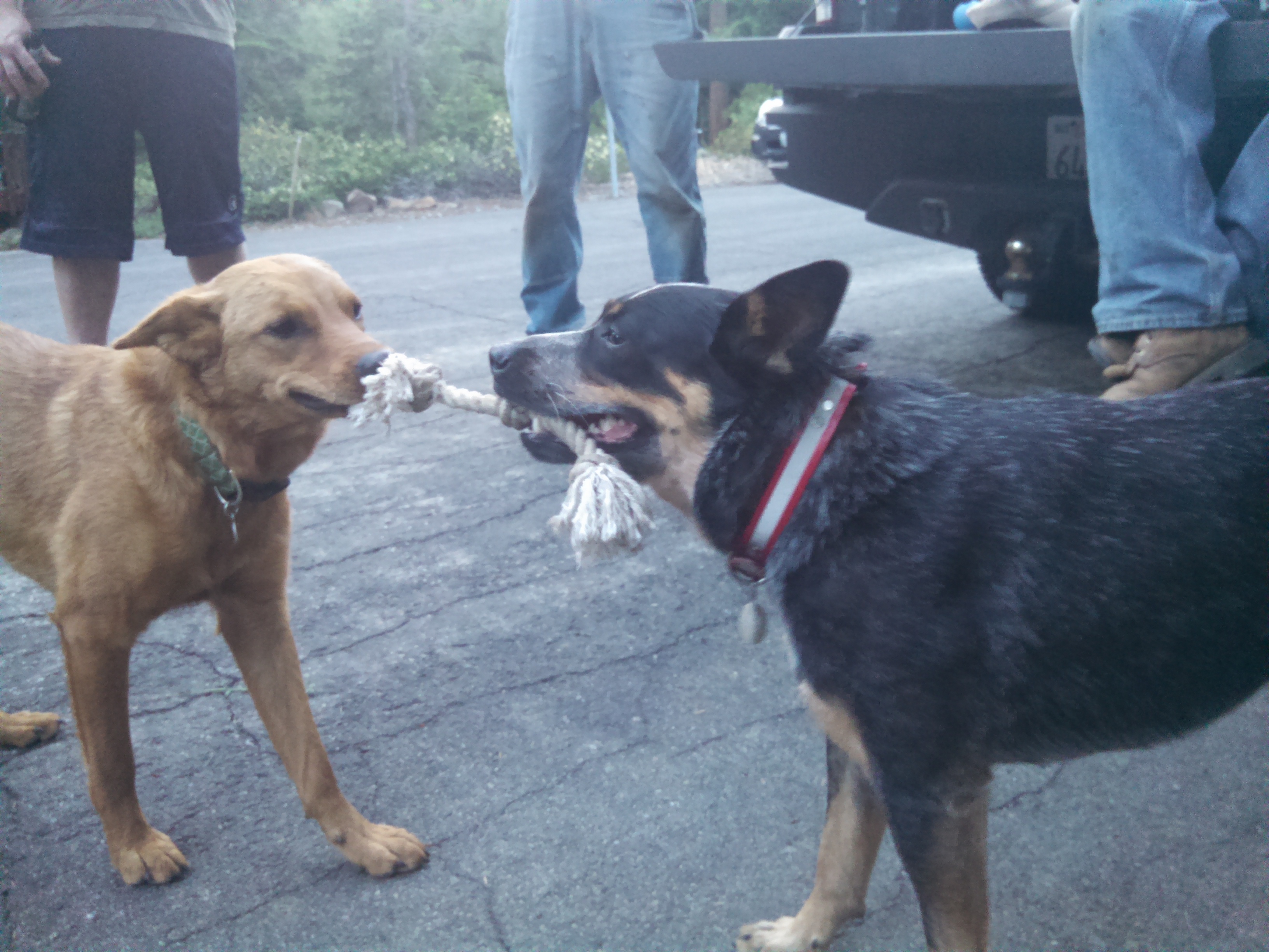
Dogs playing tug of war. Spoiler alert - Lola (Kim's dog) wins.
Dogs playing tug of war. Spoiler alert – Lola (Kim’s dog) wins.

Day 67: Friday 6/26/2015, 0mi/0km

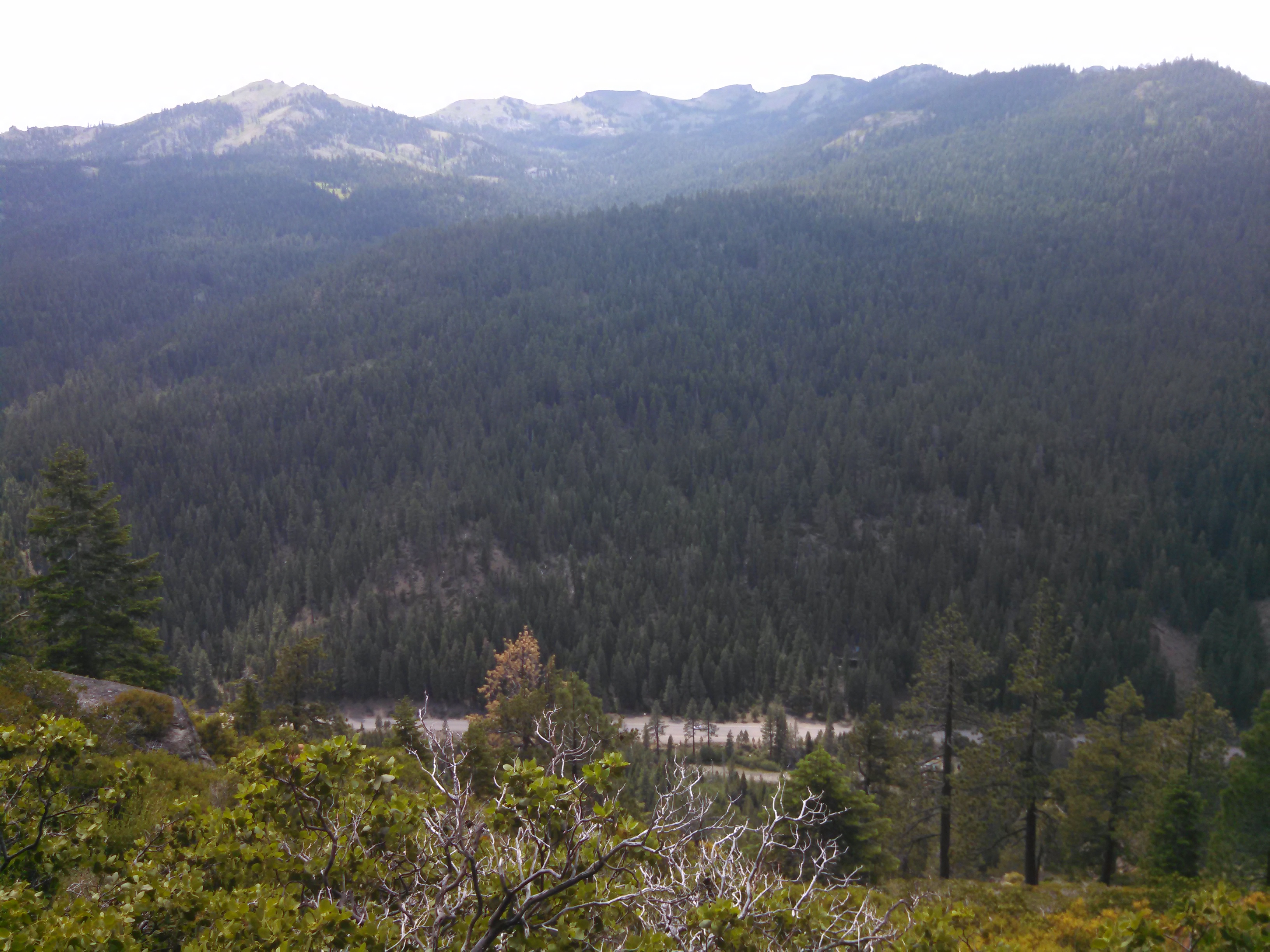
View from Big Chief, a sport climbing area near Lake Tahoe/Truckee
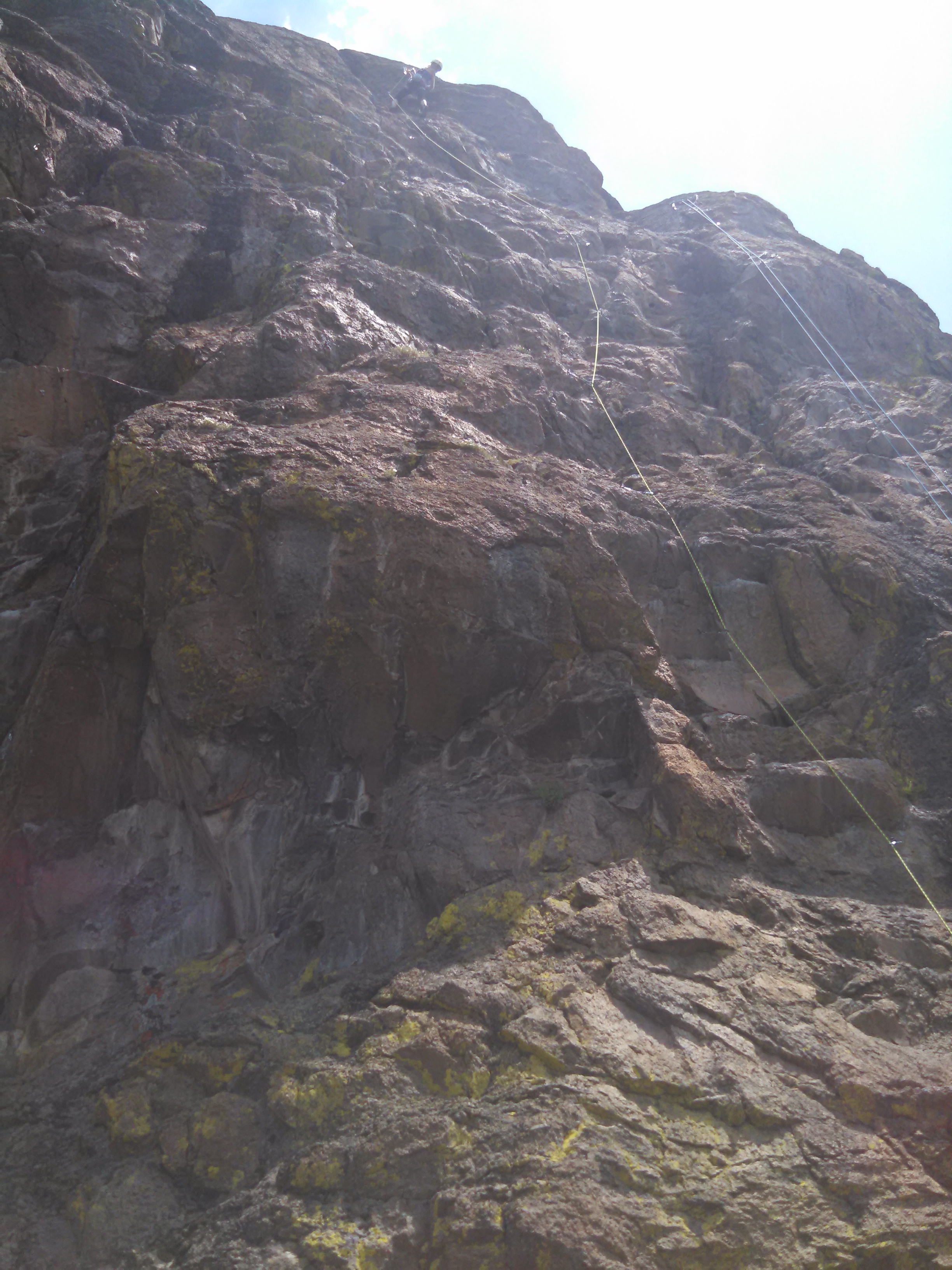
Warming up on a some sport 5.8 climb. Weird, sharp rock.
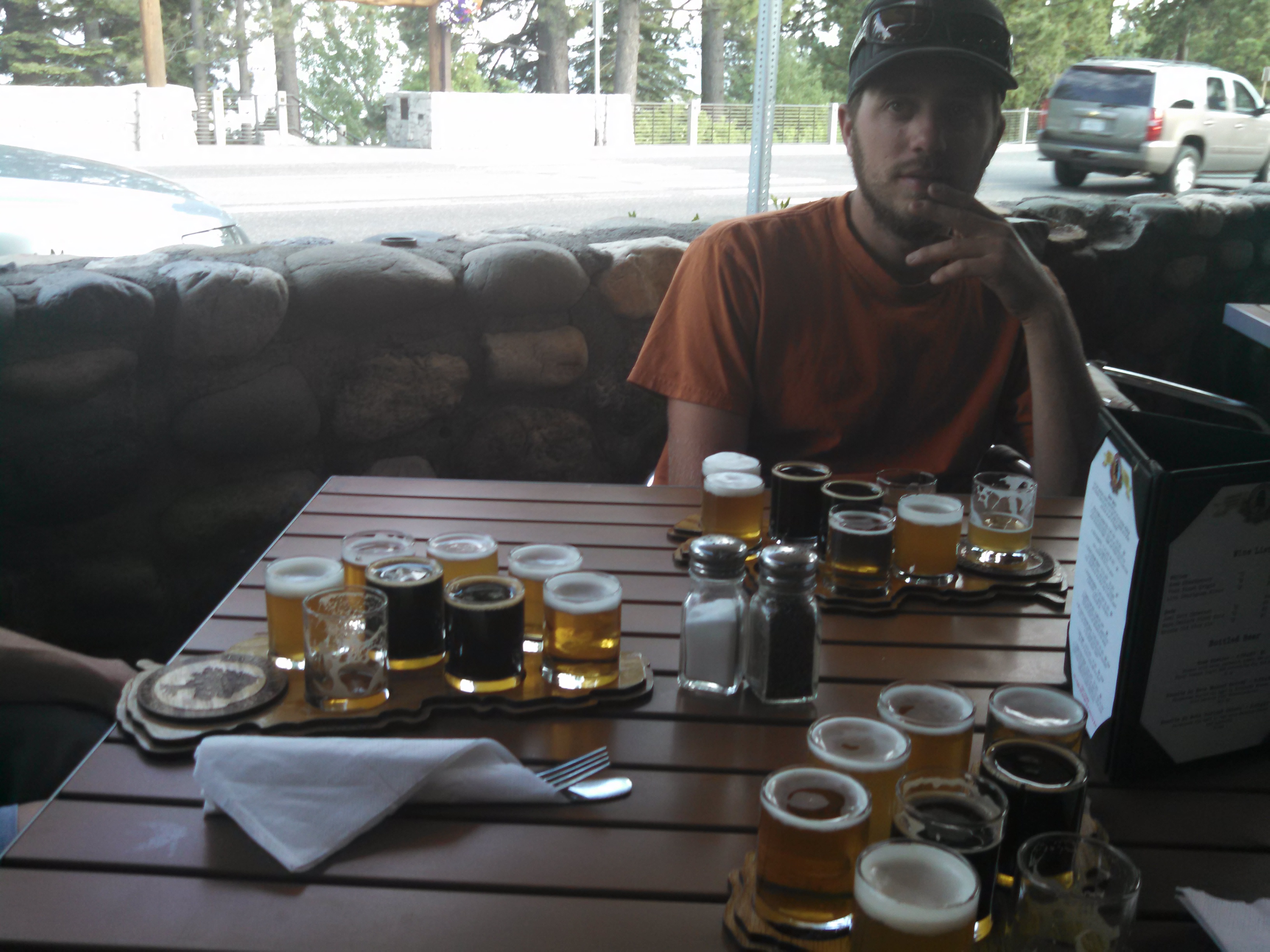
Dinner is served. All 6 courses. (Tahoe City brewing co)

Day 68: Saturday 6/27/2015, 0mi/0km

No pictures from today, but I tried stand-up paddleboarding. It is pretty difficult, but also very awesome…I need to do it again.

Day 69: Sunday 6/28/2015, 0mi/0km

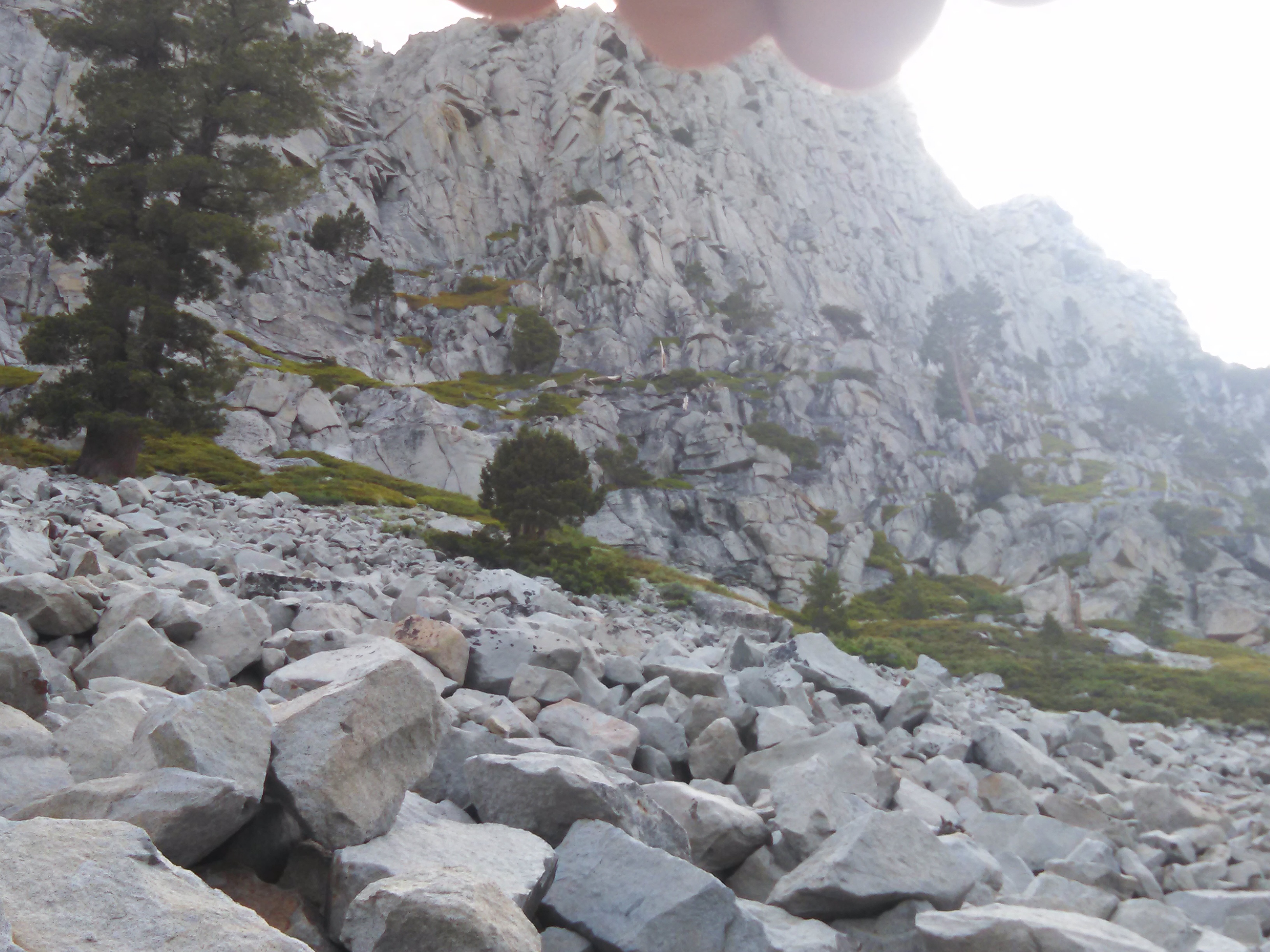
Jeremy, Kim, and I likely had a first ascent of a technical climbing route today. We got up at 4:30am, started hiking on the trail at 5am. Our bushwhack (manzanita-whack?) began before 8am, and by 10am we were at the base of our objective cliff. We had no idea if it was climbable, a choss-fest, or a 5.13d climb. It climbed some mostly nice granite, and 4 pitches later, we were at the top of the cliff! A short scramble over the ridge to the summit of Tallac Mt. (el. 9,700) completed the day. Well, the hike down and some burgers/beers completed it.
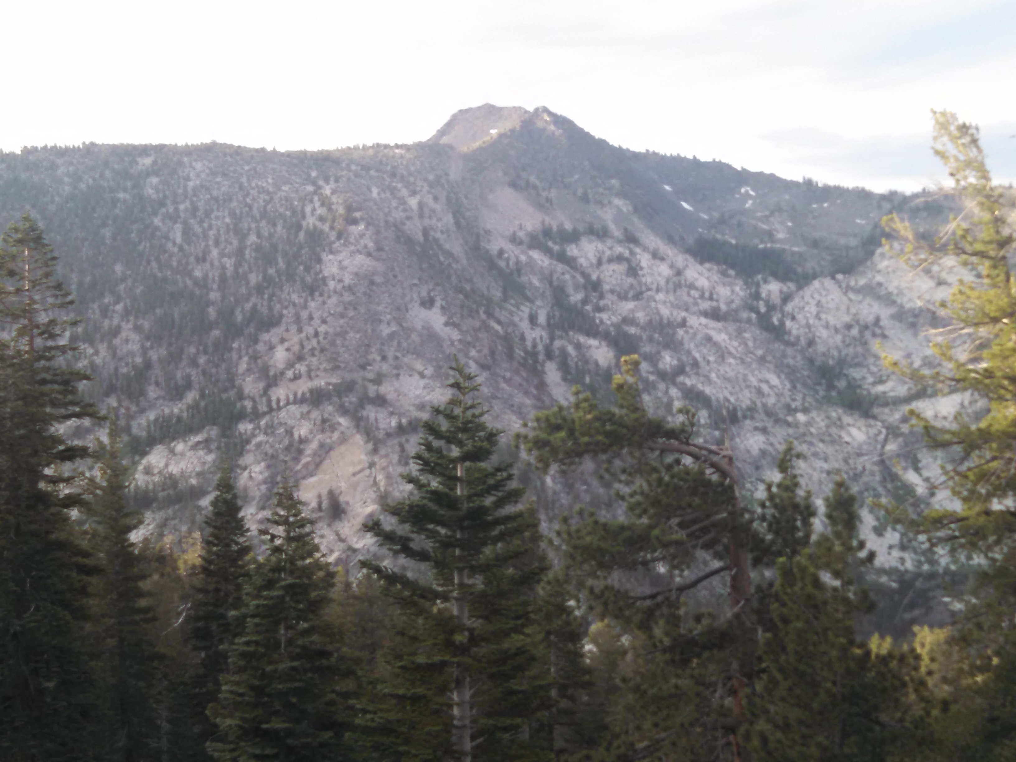
View of our intended climb from the start of the bushwhack
View of our intended climb from the base of the scree/talus field
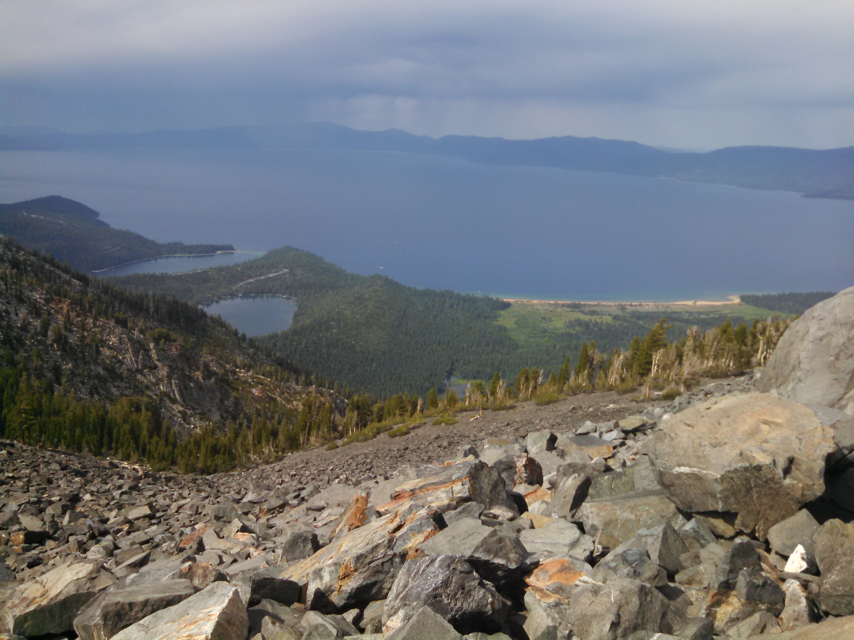
View from the summit of Tallac Mt.

Tomorrow I get back on the trail, and I’m going to hike straight thru to Sierra City, then Chester CA– the halfway point of the PCT!

-Recon

2 Comments

Leave a Reply to Sandy Cancel reply

Your email address will not be published. Required fields are marked *