Saturday 7/29/2017, 12.0mi/19.3km
Glacier Trail Jct (71.8/10,730ft) – Tarn below Downs Mountain (83.8/12,220ft) (WY)
As usual, we woke up at 6am. I didn’t sleep well last night, with all the thunderstorms. The first one came thru at 11pm, then another at 2am, and then again at 4:30am. We packed up wet tents, and started our way toward West Sentinel Pass. The trail disappeared quickly, and we had to pick our way thru medium- and large-sized talus. Annoying. The climb up to West Sentinel Pass was easy, small scree and a herd path.
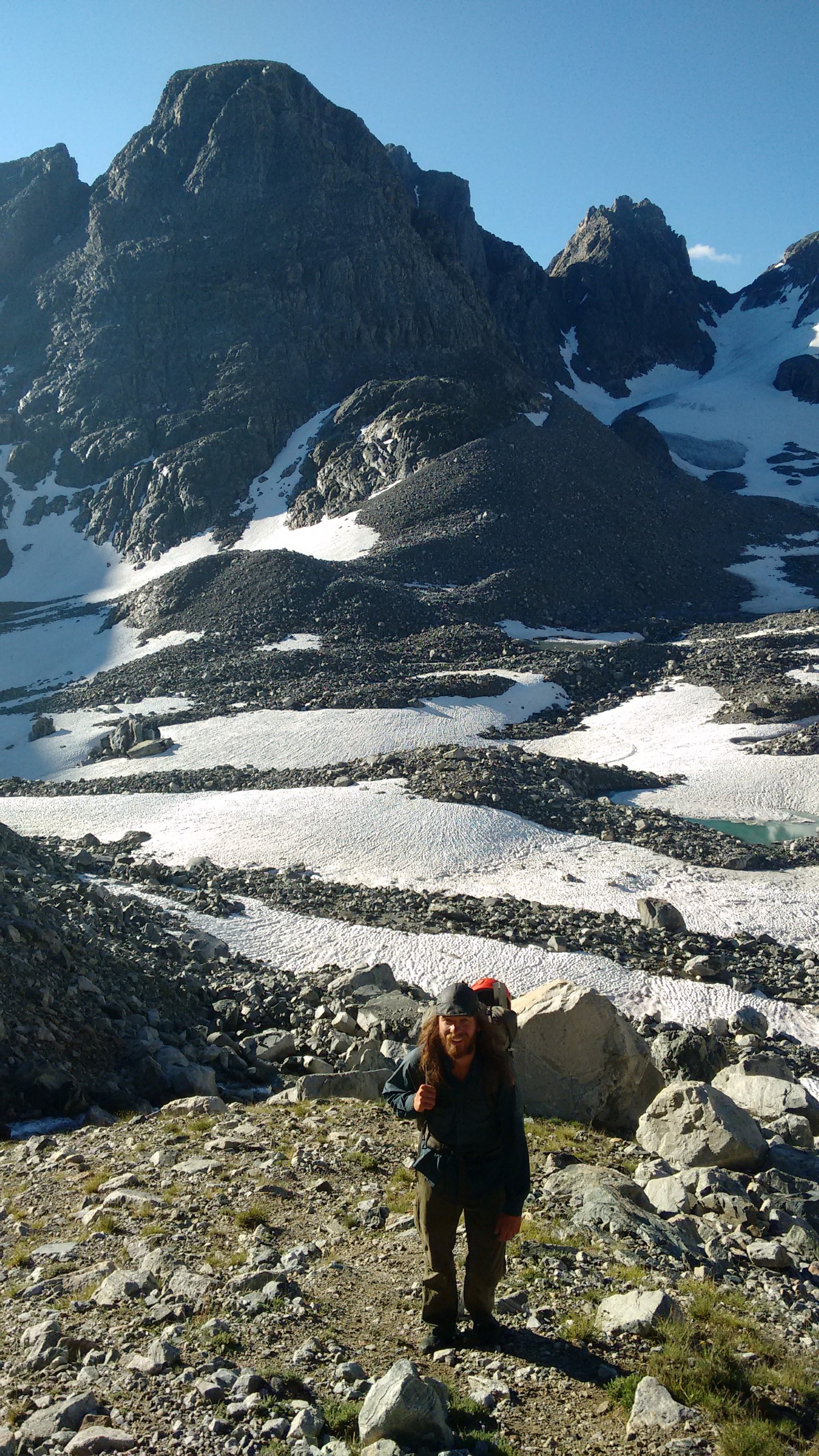
The terrain soon became snow-covered, and we put on crampons. I traversed too high around a melt pond, and with the steep terrain and frozen snow, it was slow going kicking steps. Quickham lead the last part of the ascent, which was very steep on snow.
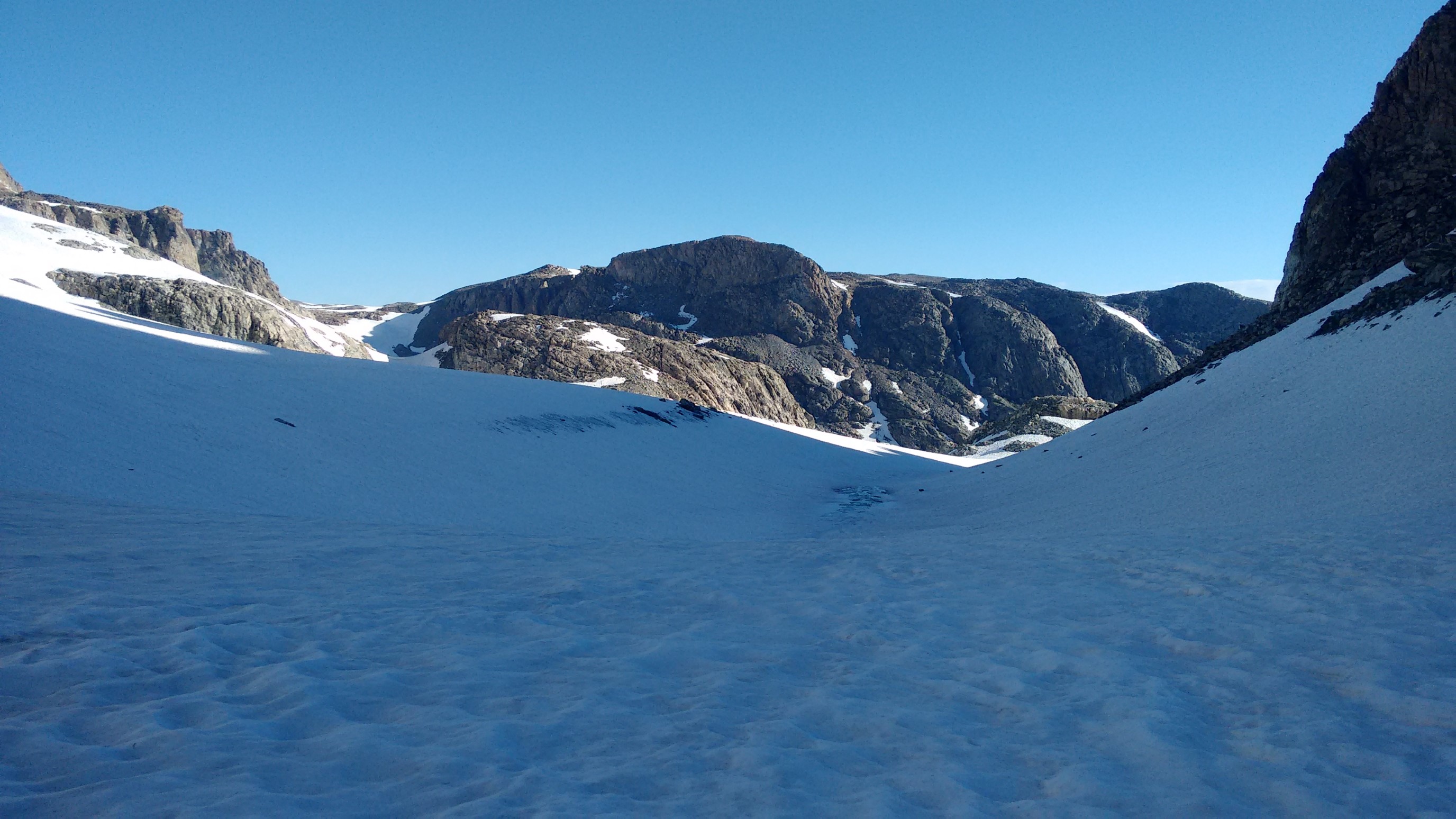
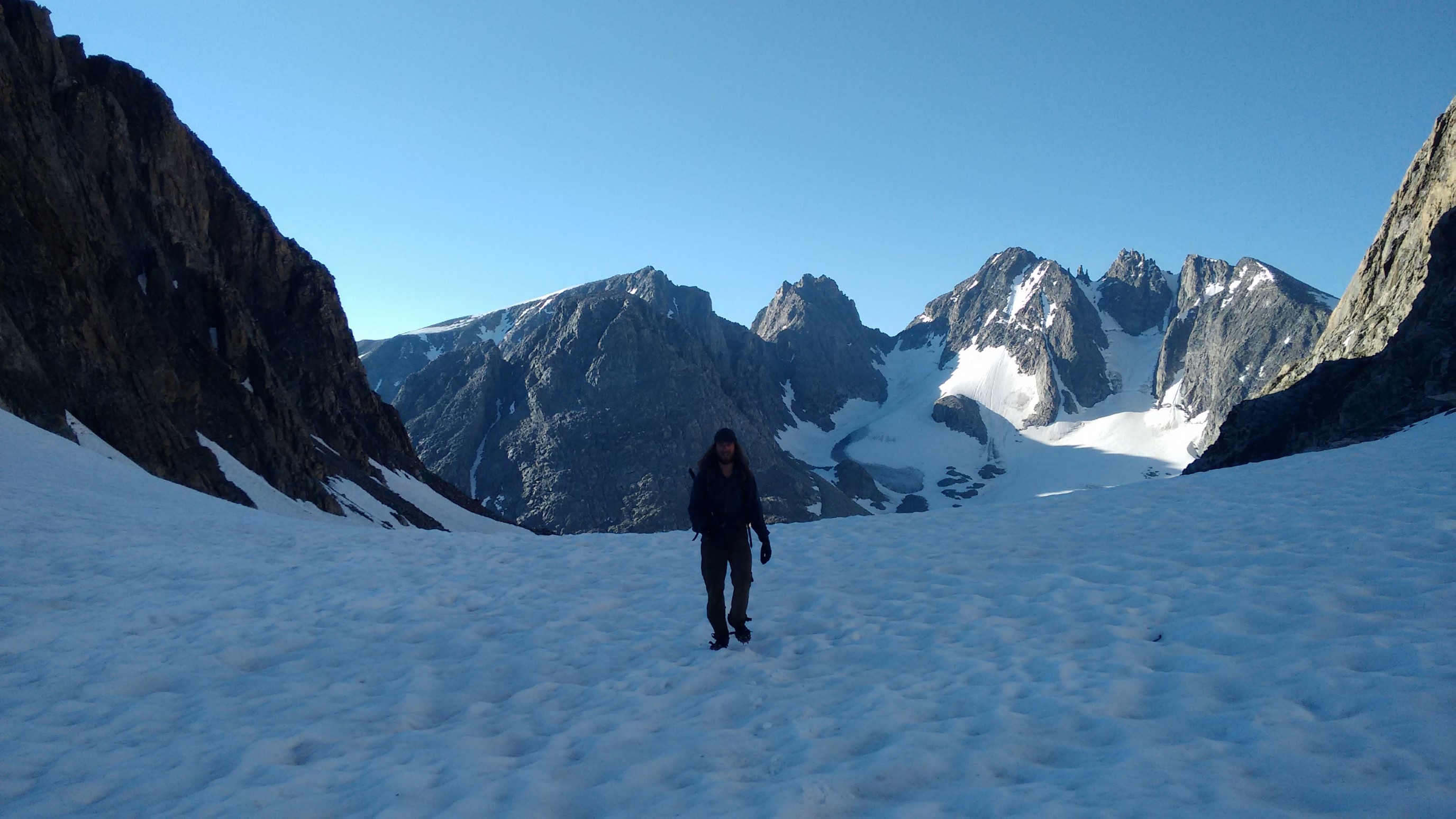
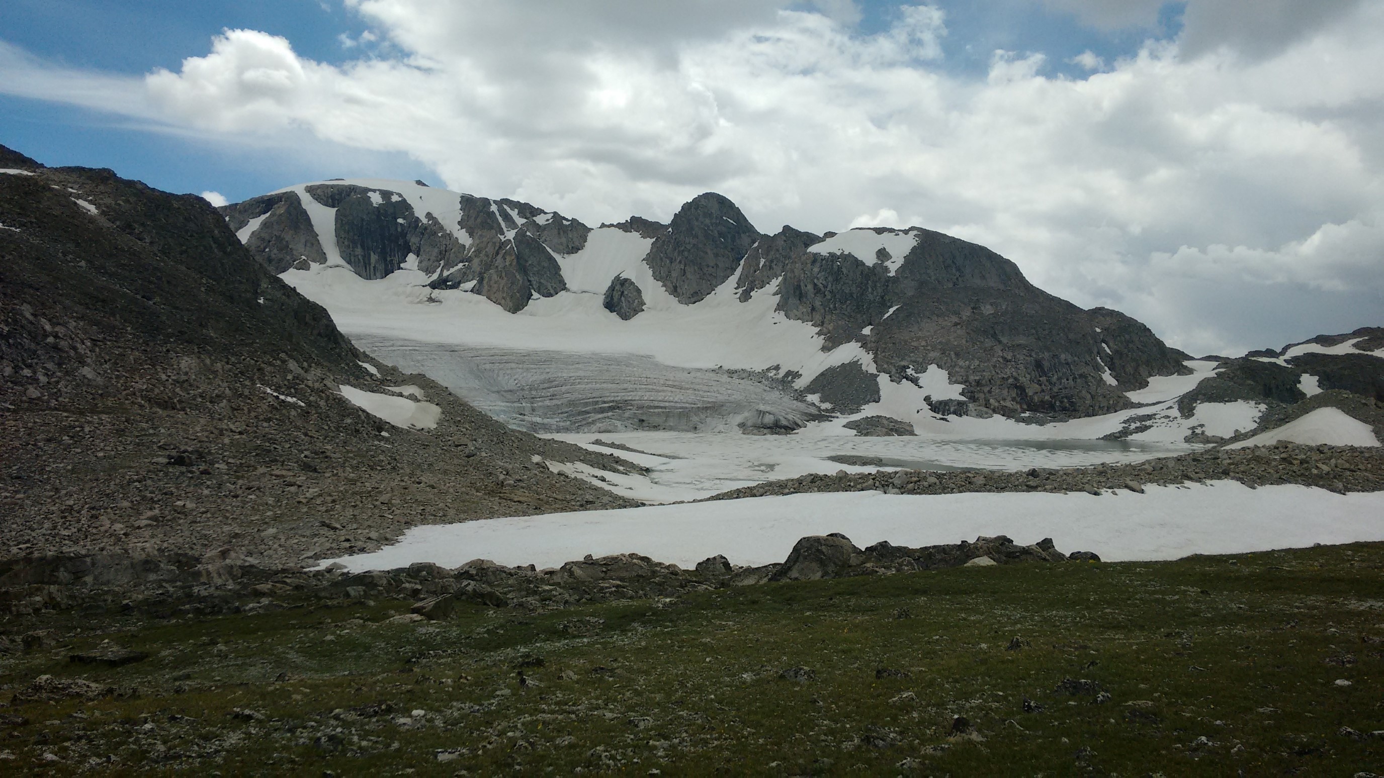
We plunge-stepped for the descent the other side, staying near the rocks (snow is usually softer near the edge). We came out into the sun, and onto the enormous Gannett Glacier. Whoa.

Gannett Glacier panorama looking uphill.

It was getting hot, and I didn’t want to get (even more) sunburned, so we quickly crossed almost a mile of mushy glacier.
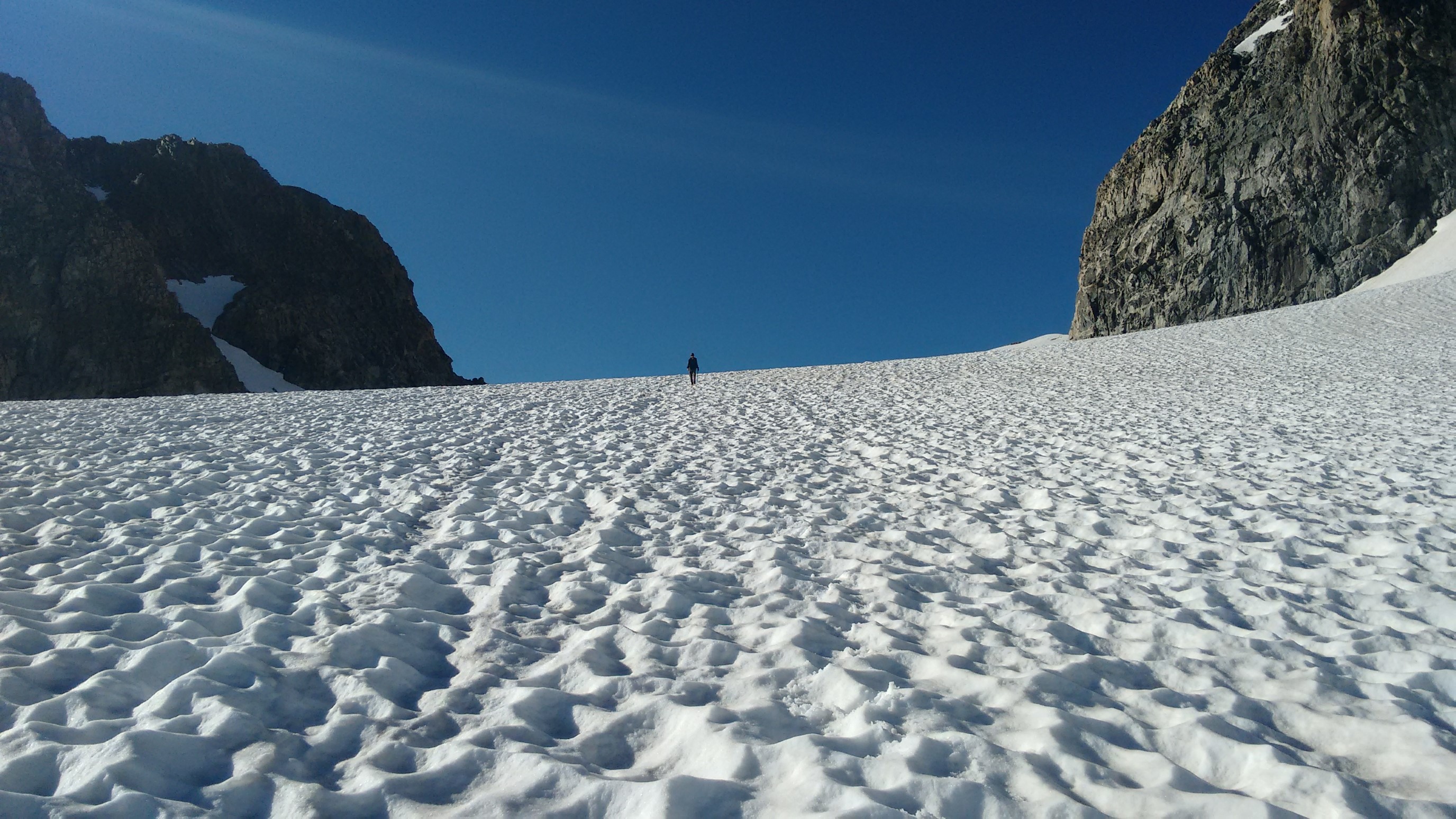
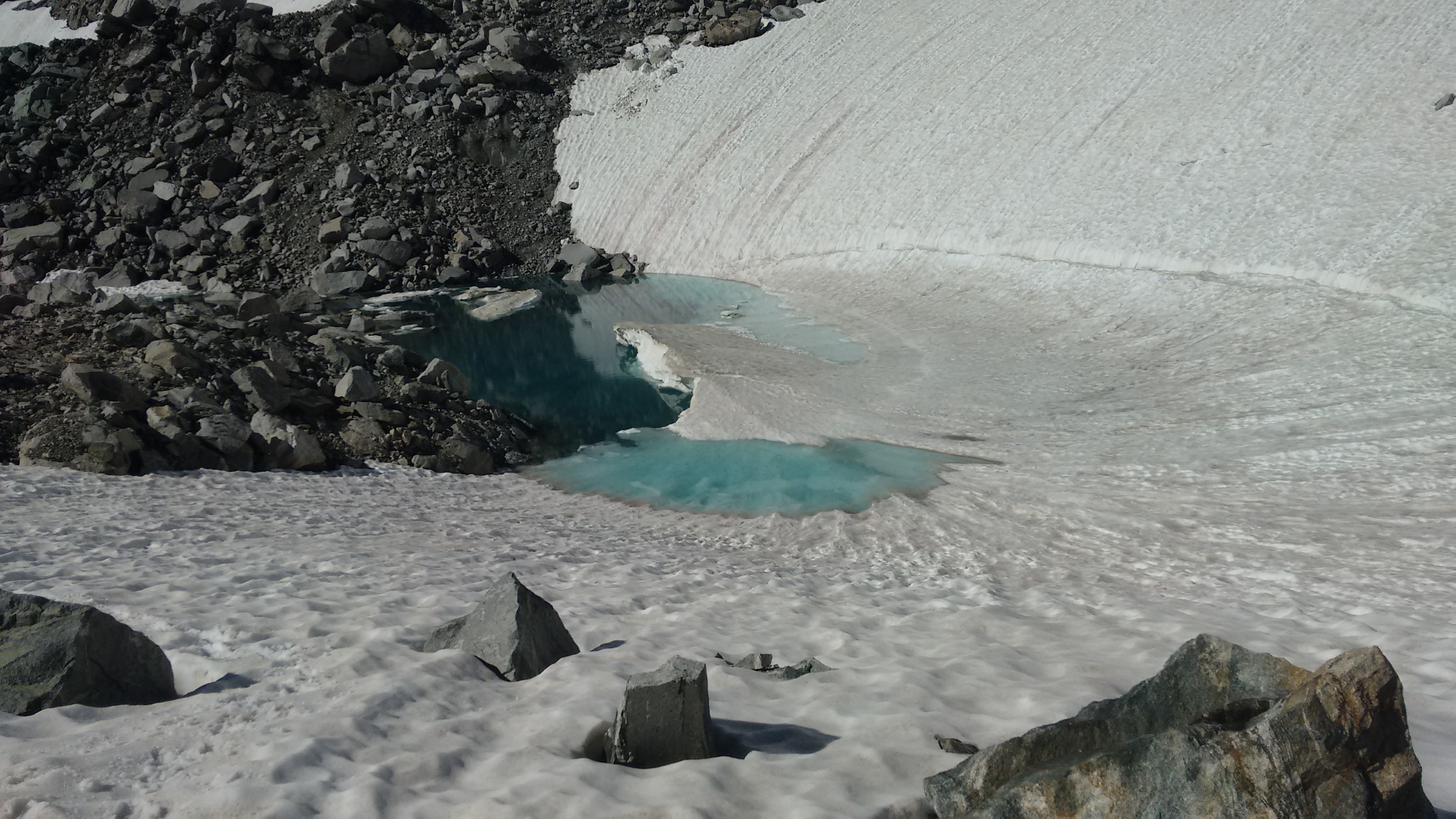
After crossing some rock fields, we re-climbed up to 12,000ft on a snowfield. It was a nice steady climb across the slope.
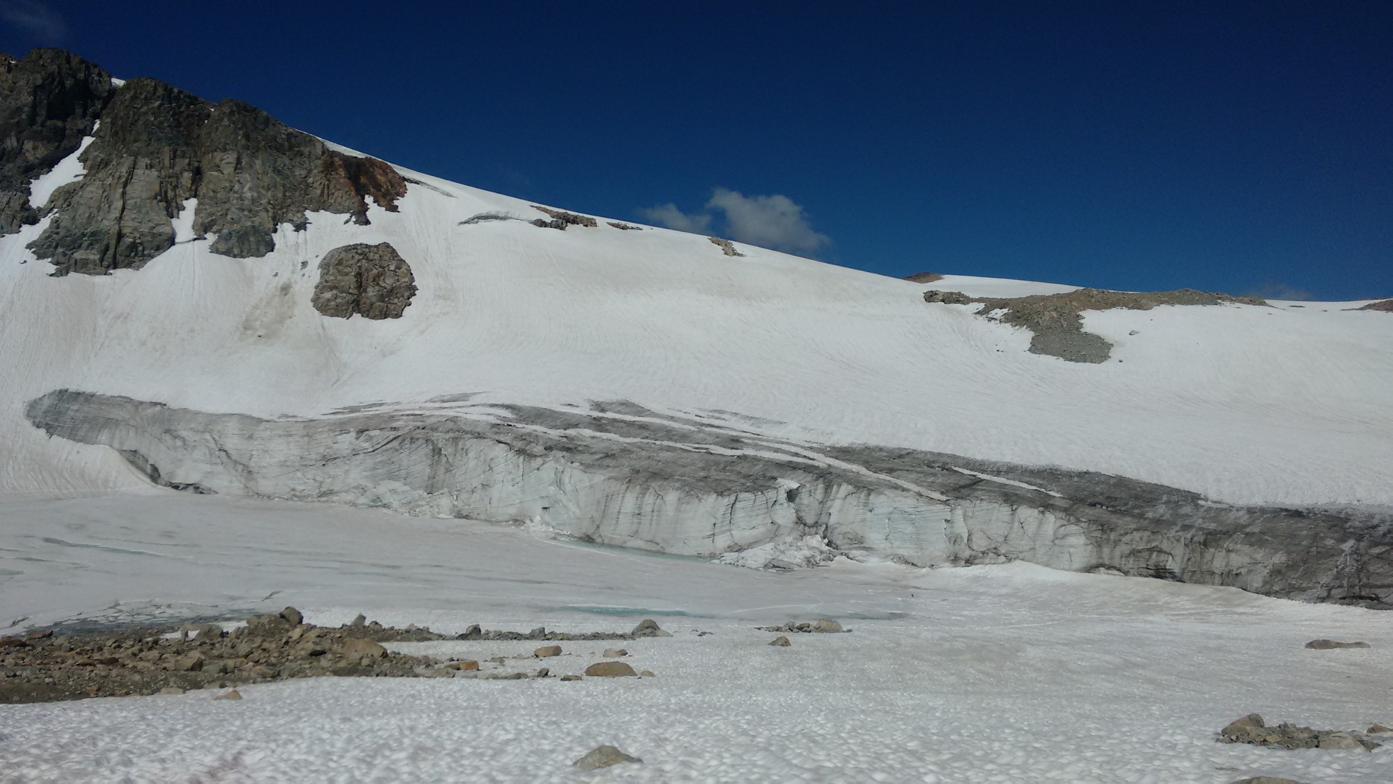
At the top, it transitioned back to rocks, and we removed our crampons for the first time today.
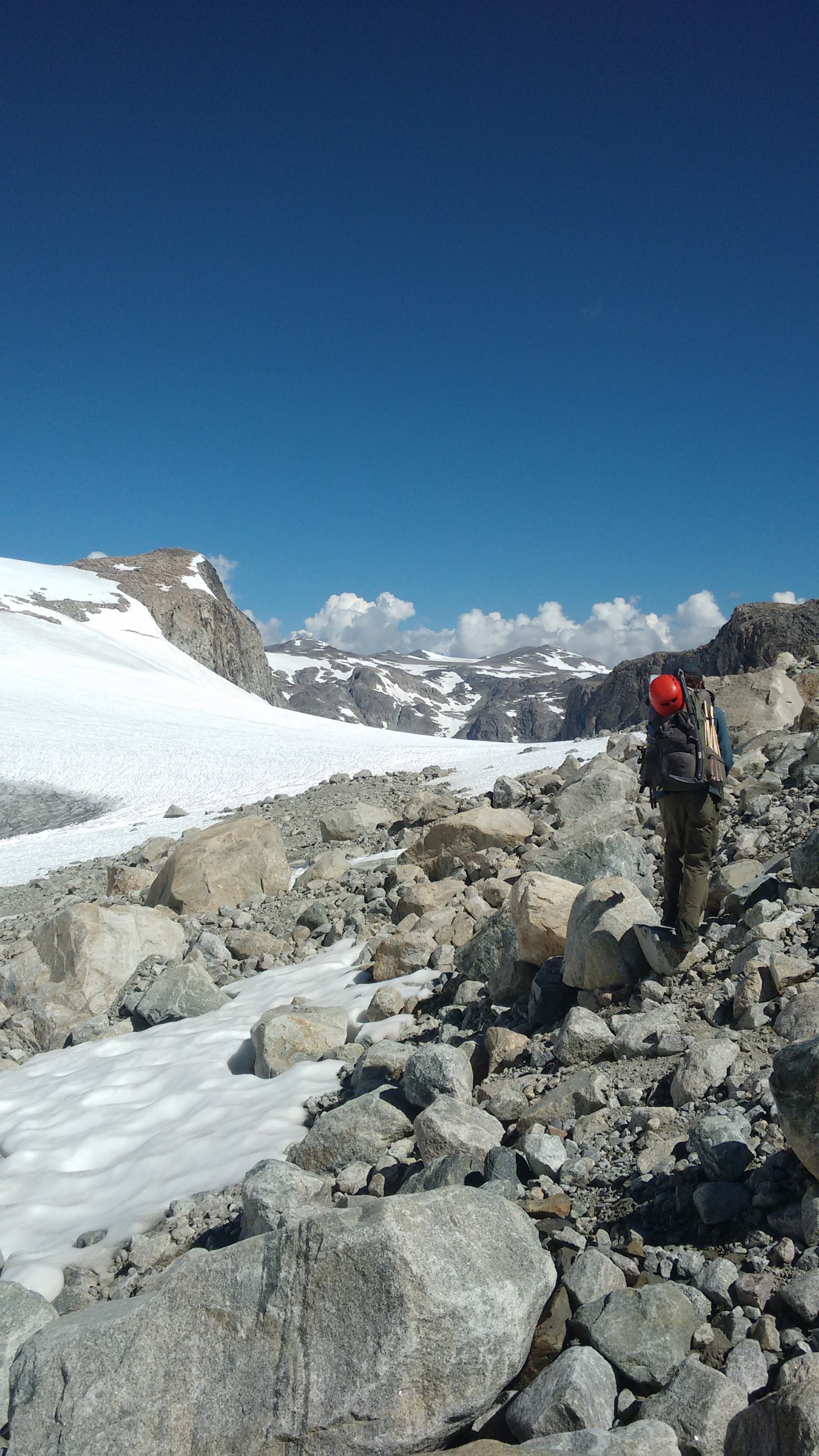
The walk was flat and easy for awhile, then we skirted a glacial lake, and climbed up the Grasshopper Glacier. (the lake is covered by ice, center of photo).
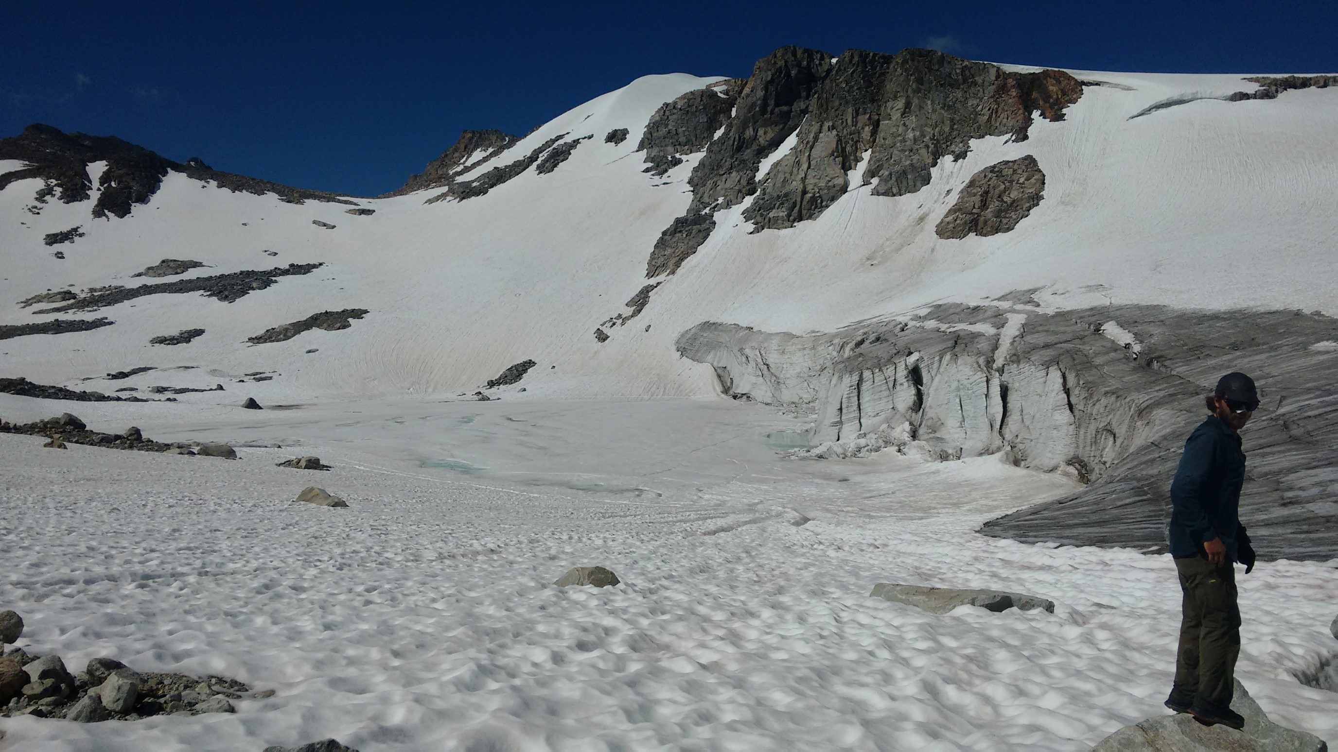
It was hot and sunny, and the glacially reflected sun made it feel even warmer. We stopped for lunch (early) in a rockfield, got water, and dried our tents. We tried not to wait too long, as it tends to get very cloudy by 1pm. This was presumably our last lunch on trail, so I ate all my cheese and salami. The clouds were gathering, so we packed up, and hiked along the ridge for awhile.
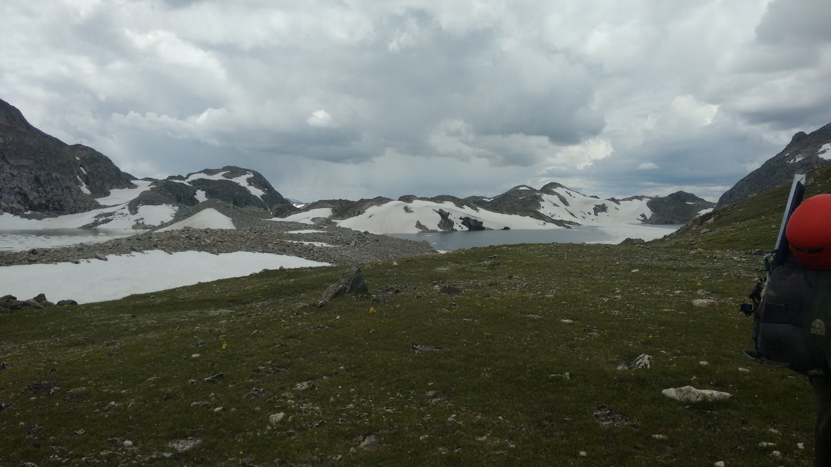
The descent into Iceberg Lakes Pass was quite steep, and we tried to stick to snowfields to use our crampons (better than wet slabs). I ended up switchbacking twice to lessen the steepness. We got down to the pass and took a break, which was ended prematurely by light rain.
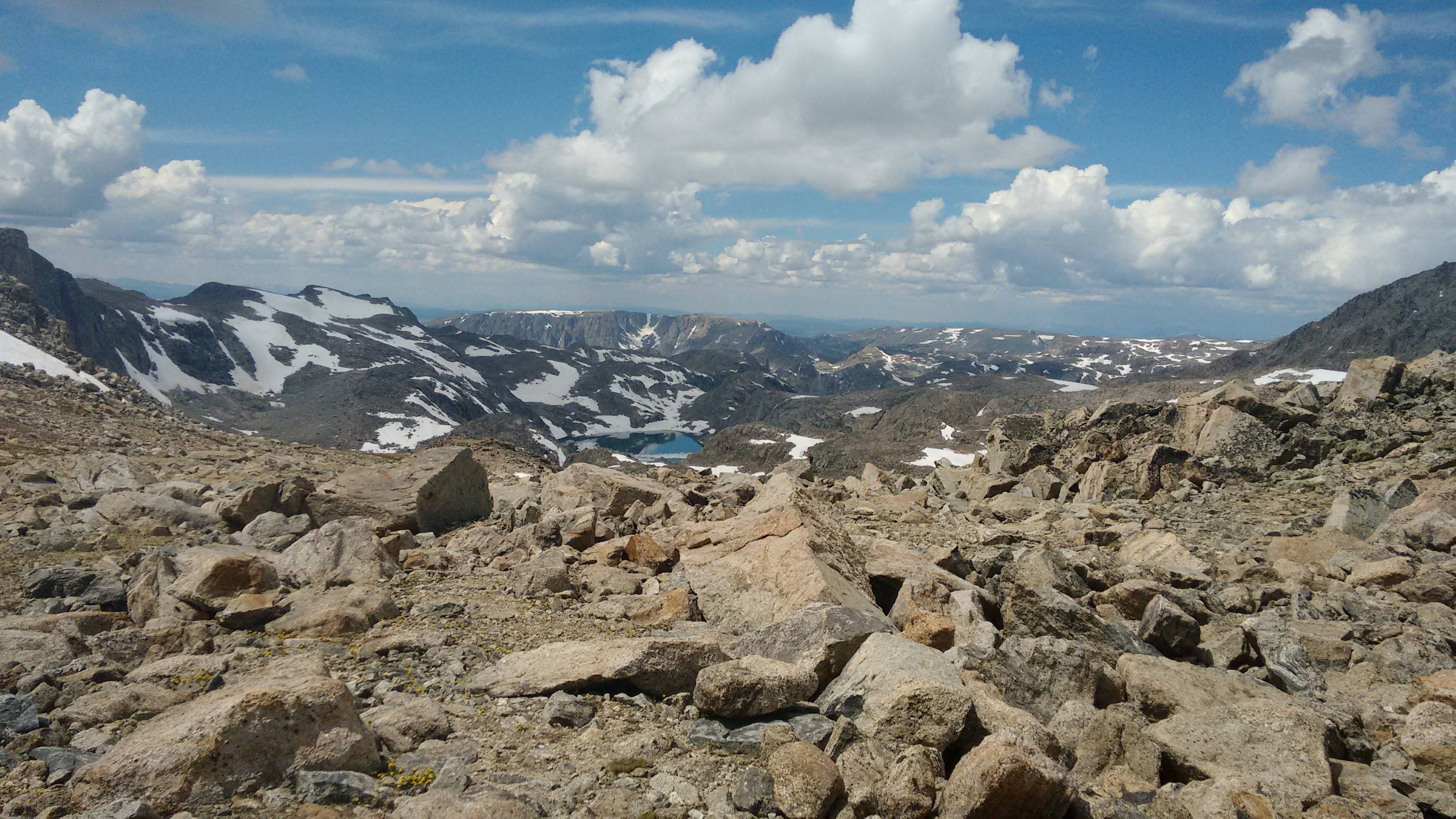
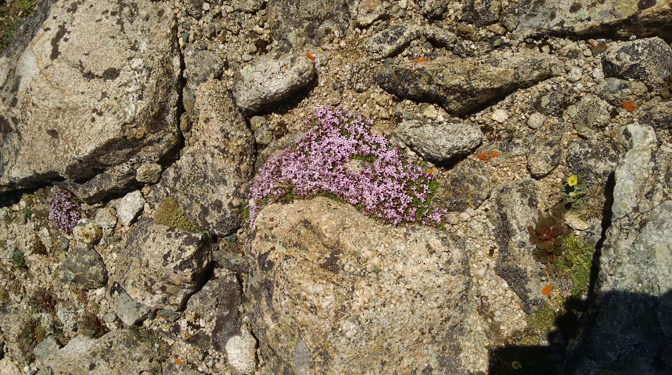
The ascent back up to the ridge felt harder than it should – but it had been a long day. We skirted Yukon Peak to the east, and crossed paths with two other hikers. They were older guys, and they were moving fast. We chatted for 5 minutes, then we split off.
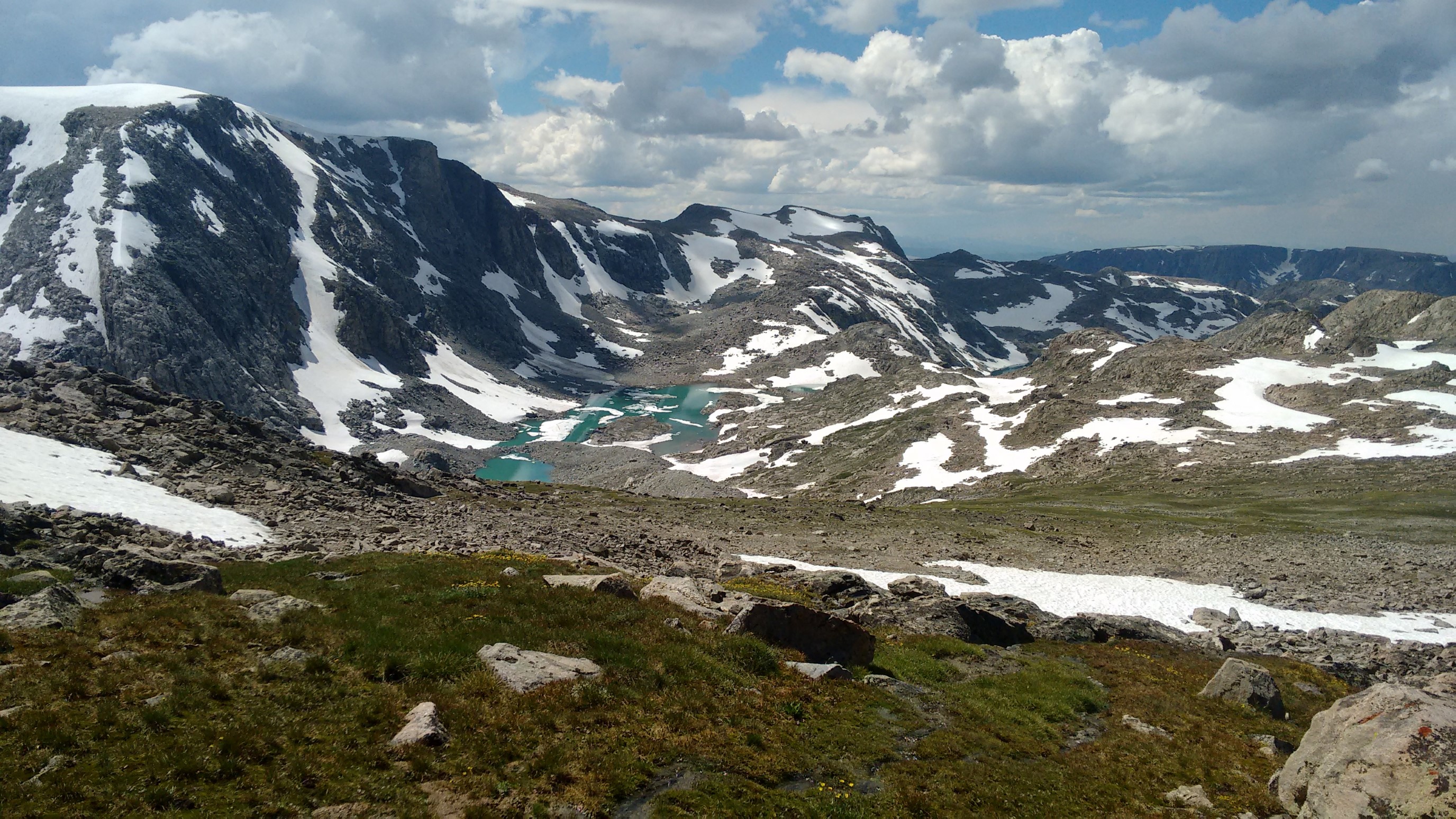
The sun came back out briefly, as we traversed the “moonscape” on the ridge. We could see Downs Mountain right ahead, and it didn’t look too bad. It was our last big climb of the hike!
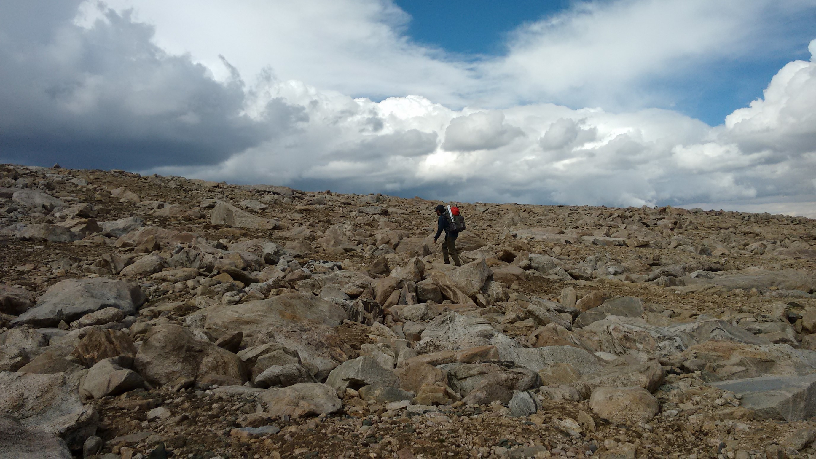
It proved to be slow going though, as the talus became huge and required some 5th class moves.
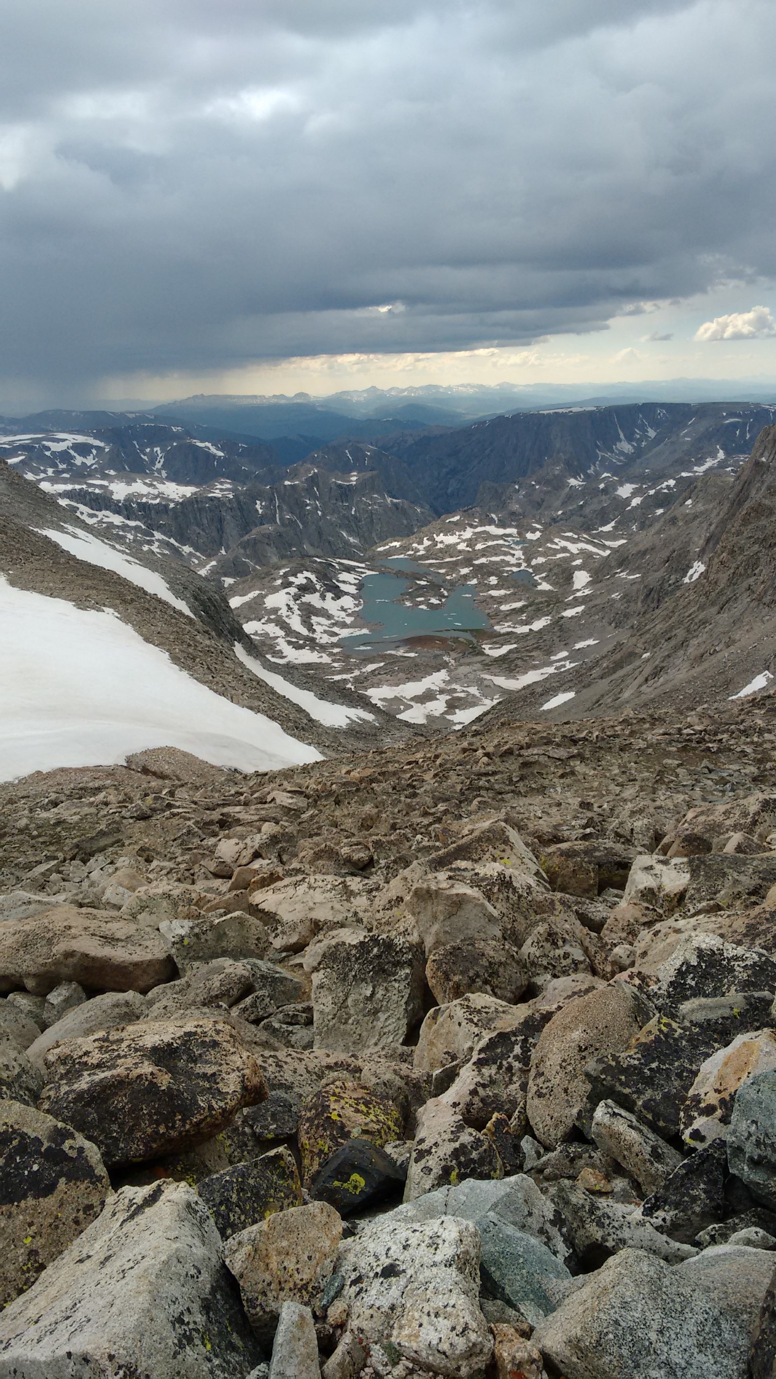
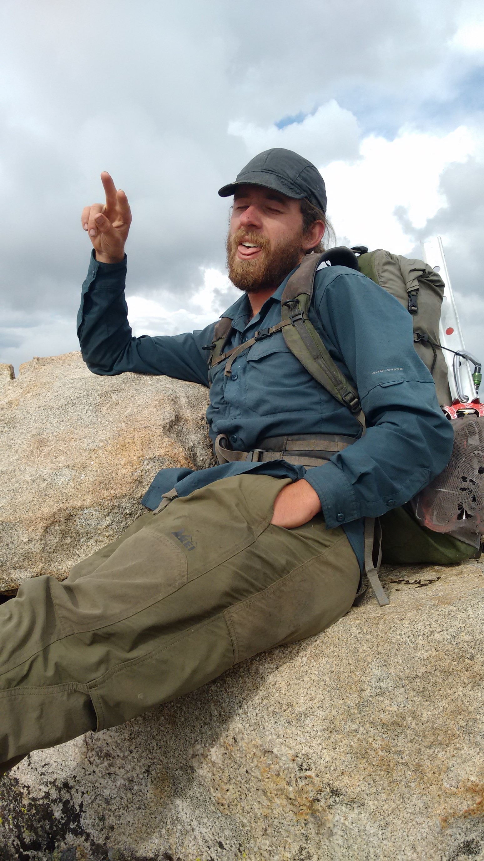
We got to the summit at 5:30pm, and sat down for a well-deserved a break.
View from the summit of Downs Mountain, elevation 13,355ft/4071m.
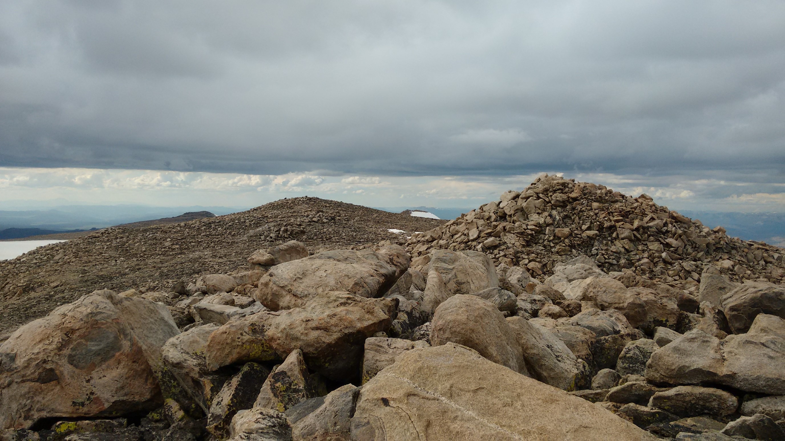
Our break was cut short by the approaching thunder clouds are in the distance. So, we rallied and cruised down the east side of Downs Mountain, mostly on snowfields. 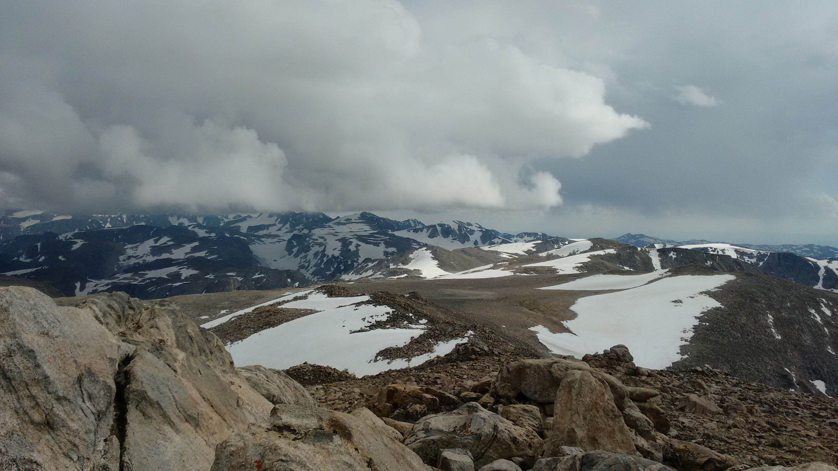
We dropped 1000ft in 30 minutes, and arrived to our camp spot at 6:15pm. Incredibly, there was another person camped here! We set up our tents thoroughly for the expected wind/rain, ate our last dinner, and watched the last half of the movie. What a tiring day!
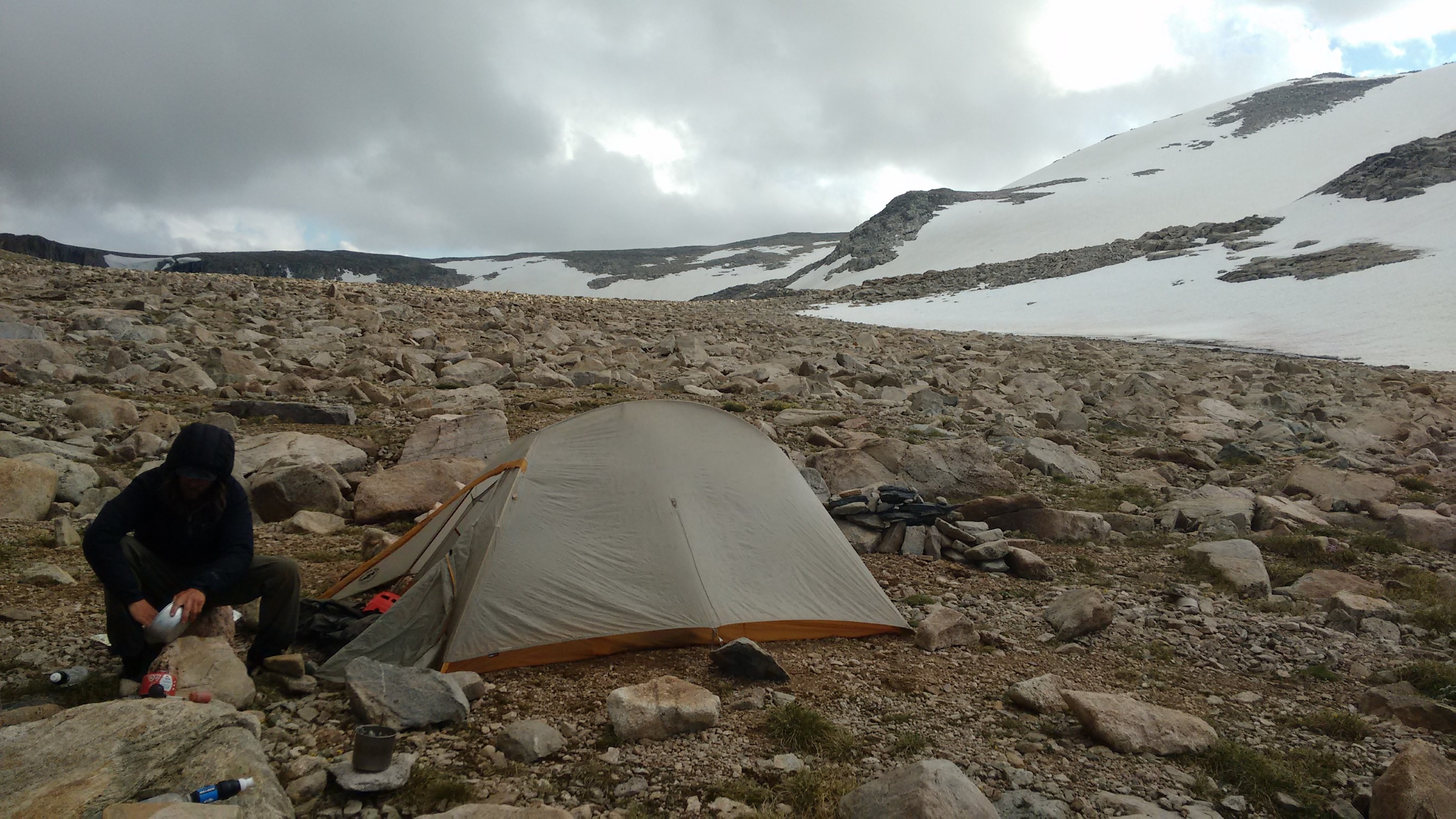
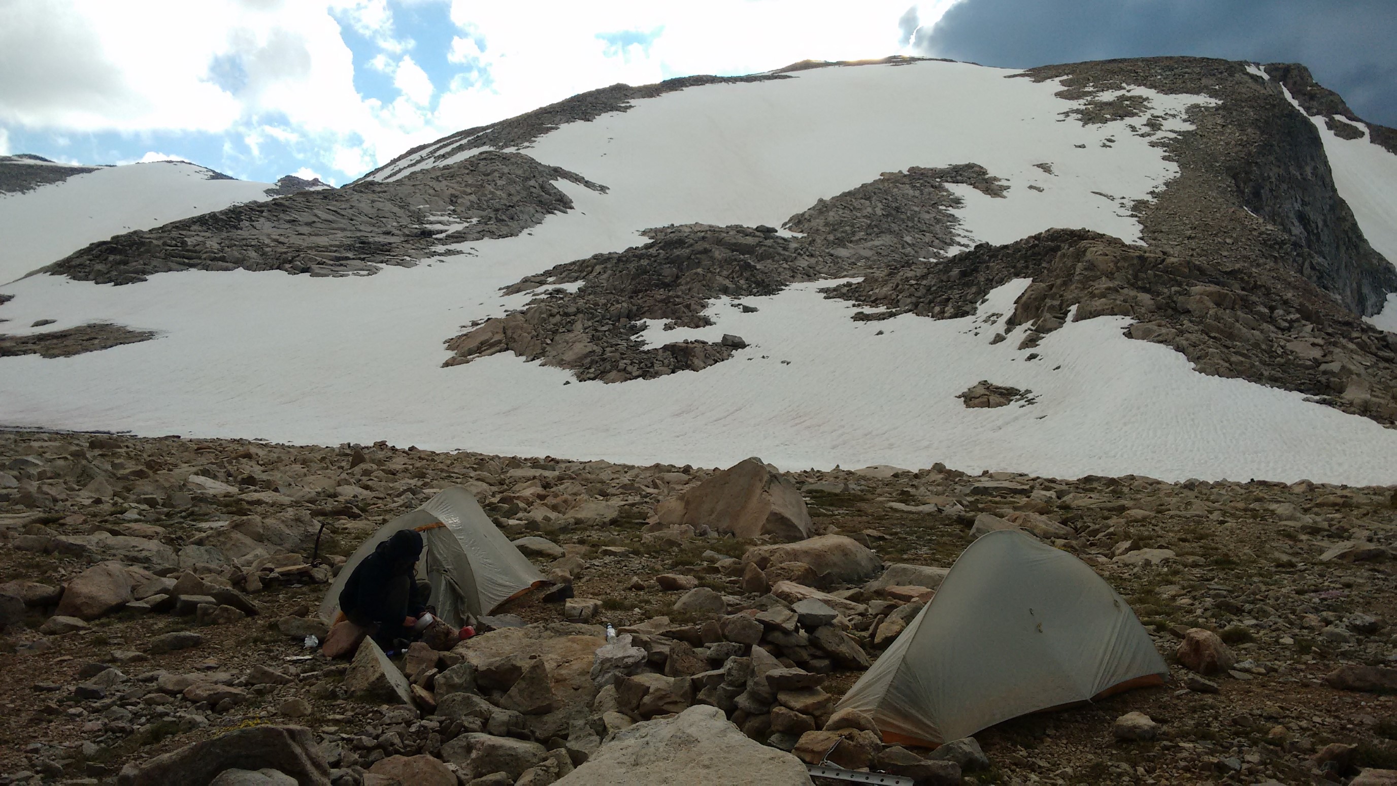
What’s that metal thing with holes in your pack?
It’s a snow picket, used to create a climbing anchor. We had planned on also climbing nearby Gannett Peak (highest in Wyoming), but didn’t have time. It’s definitely not needed for the WRHR. Sharp eye!