Sunday 7/30/2017, 13.0mi/20.9km
Tarn below Downs Mountain (83.8/12,220ft) – Trail Lakes Trailhead (96.8/7,610ft) (WY)
We slept in and woke up at 6:30am instead. There were no storms last night! I slept really well. We packed up, and our fellow camper is already gone – we saw him in the distance climbing Downs Mountain. We left camp, and attempted to contour over to No Mans’ Pass, but some cliffs prevented that. So after a tiny climb, we dropped down into the pass. It was a nice looking camp area, but no water…our spot was better.
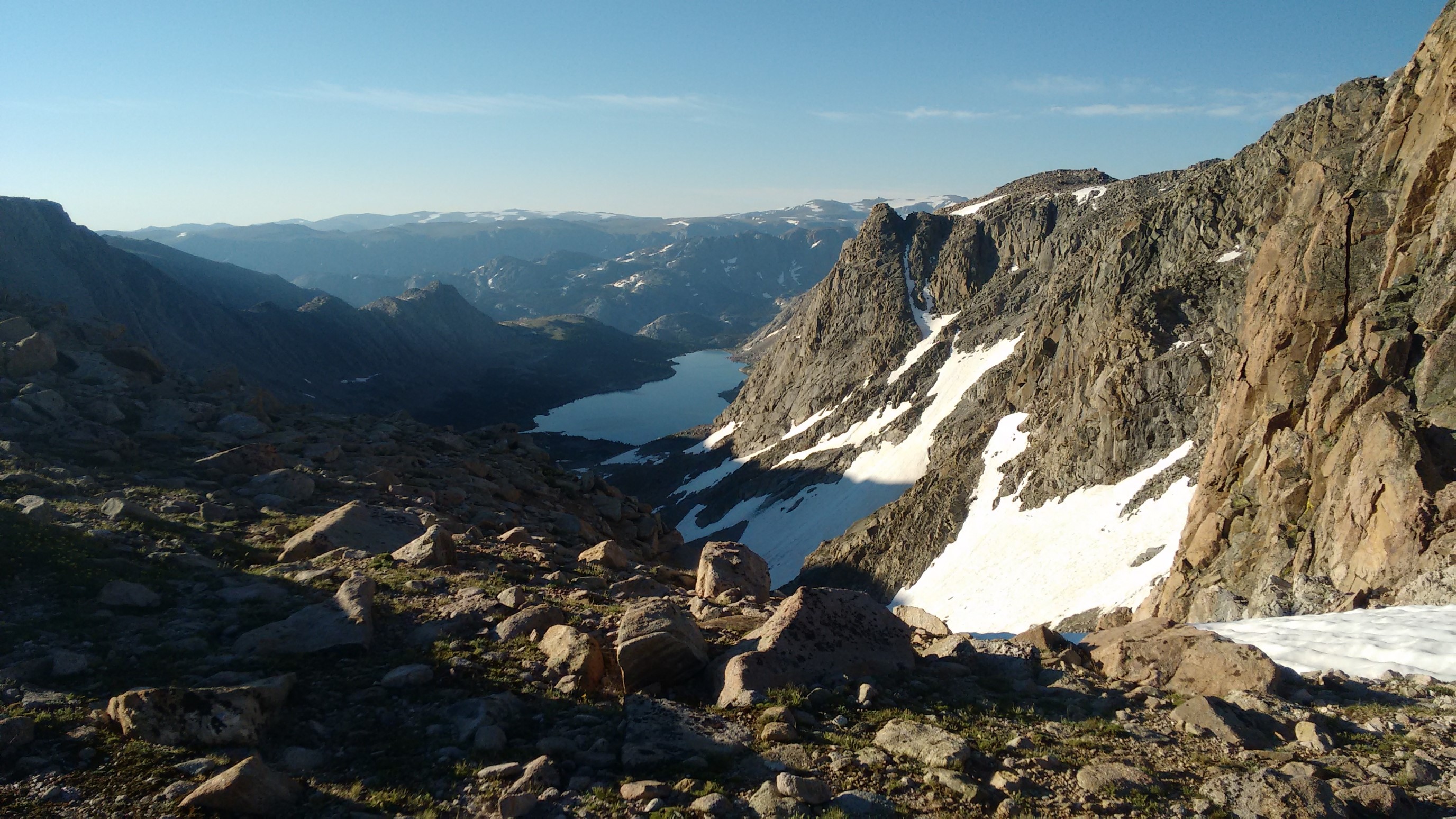
We climbed a little up to Goat Flats. Quickham went left of a small ridge, and when it ended, he was a few hundred yards away! I stayed higher to avoid making a PUD. Then, the terrain flattened out, and I saw why it’s named Goat Flats.
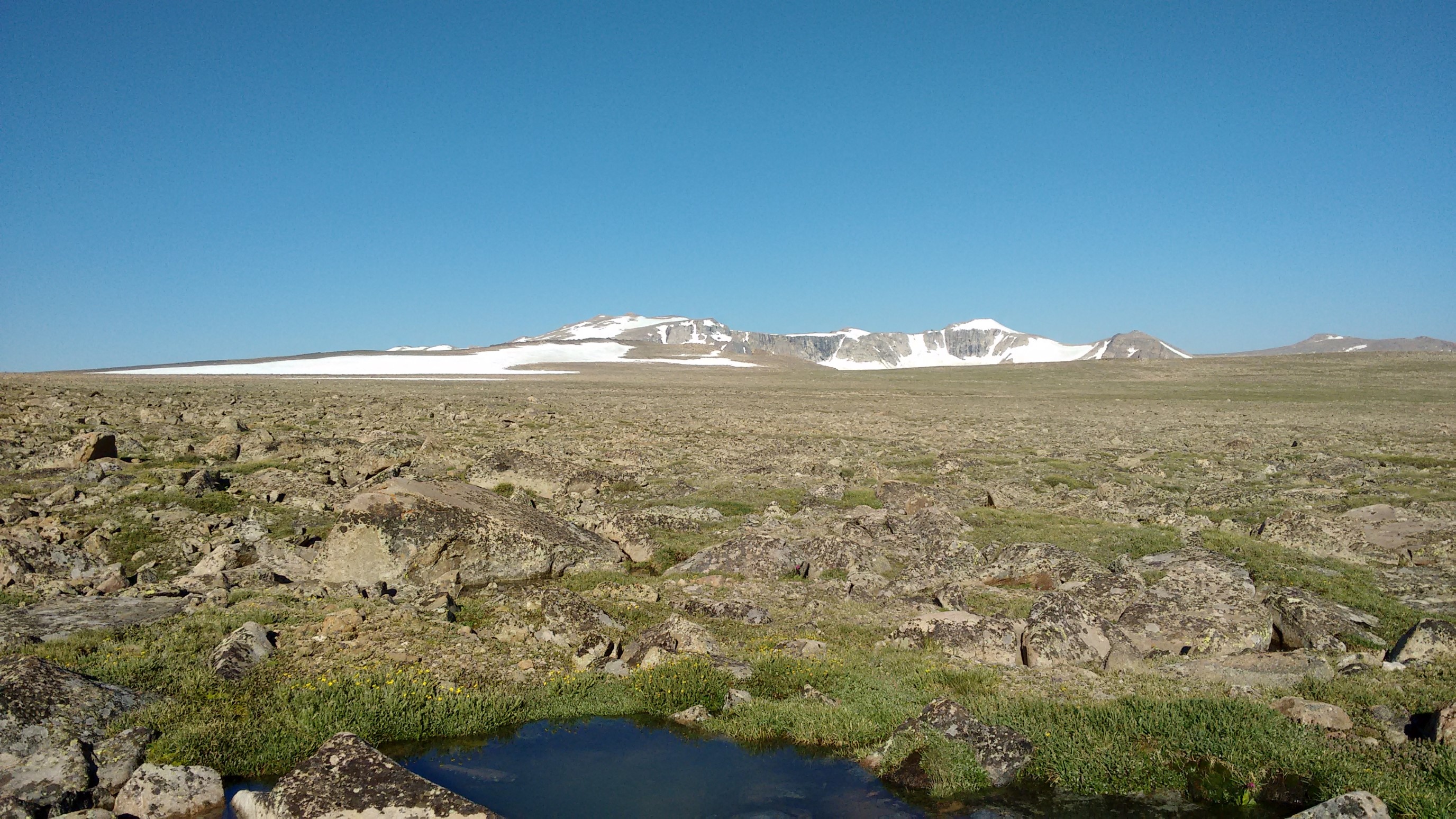
Eventually, our paths diverged enough to make communication almost impossible, and I stopped and refilled my water.
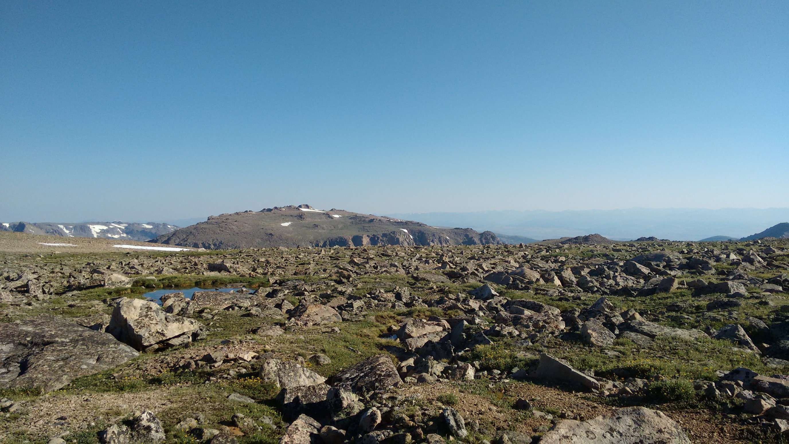
Quickham and I re-merged, and then aimed for the left side of Goat Flats, while we slowly descended towards a trail in the distance. On the way down, we saw goats! Yup, aptly named.
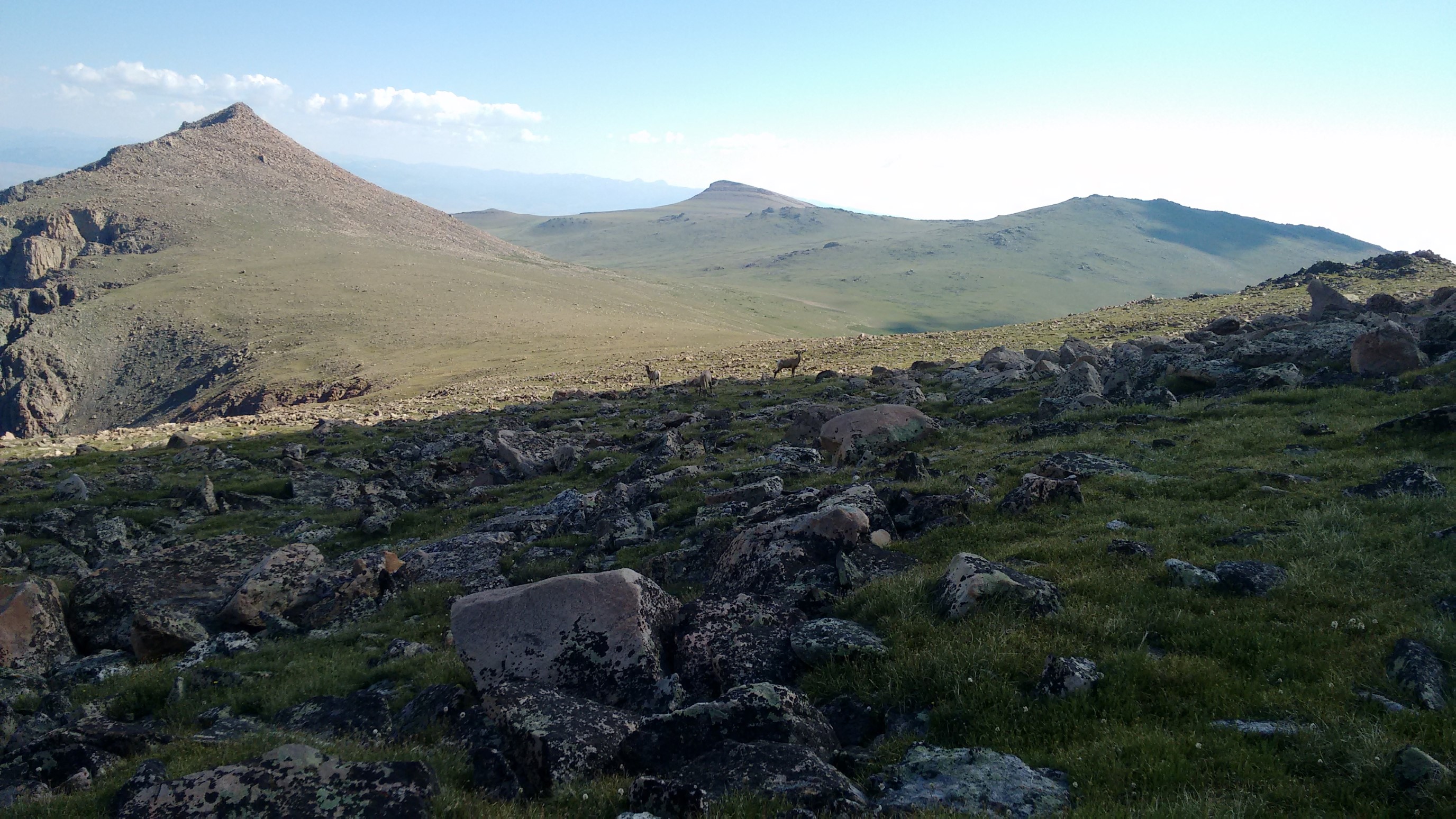
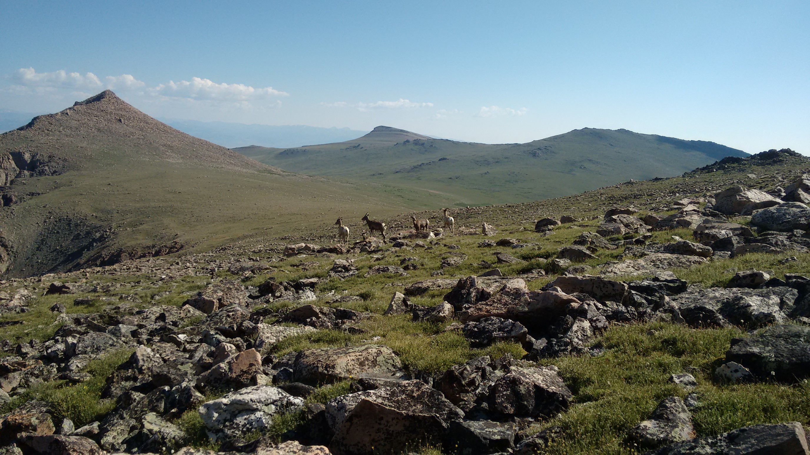
The rocks diminished as we descended, and we contoured over to the trail/saddle. We reached trail around 10:30am, after only 3 hours of cross-country on easy flat terrain.
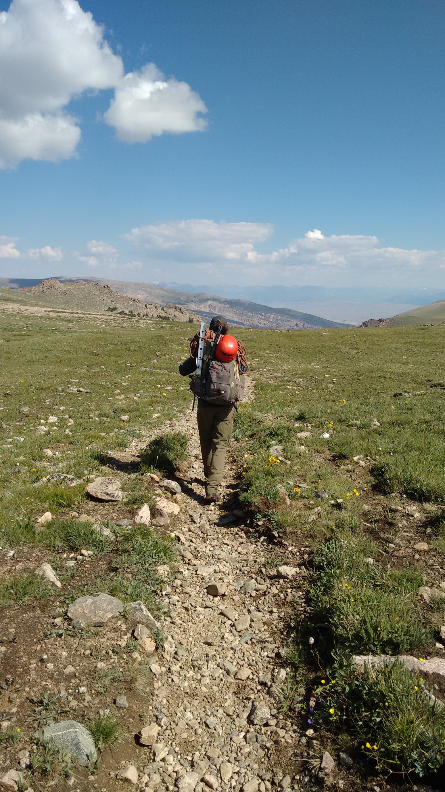
The trail cruised downhill, and the newly-built trail to Bomber Falls was nice and maintained.
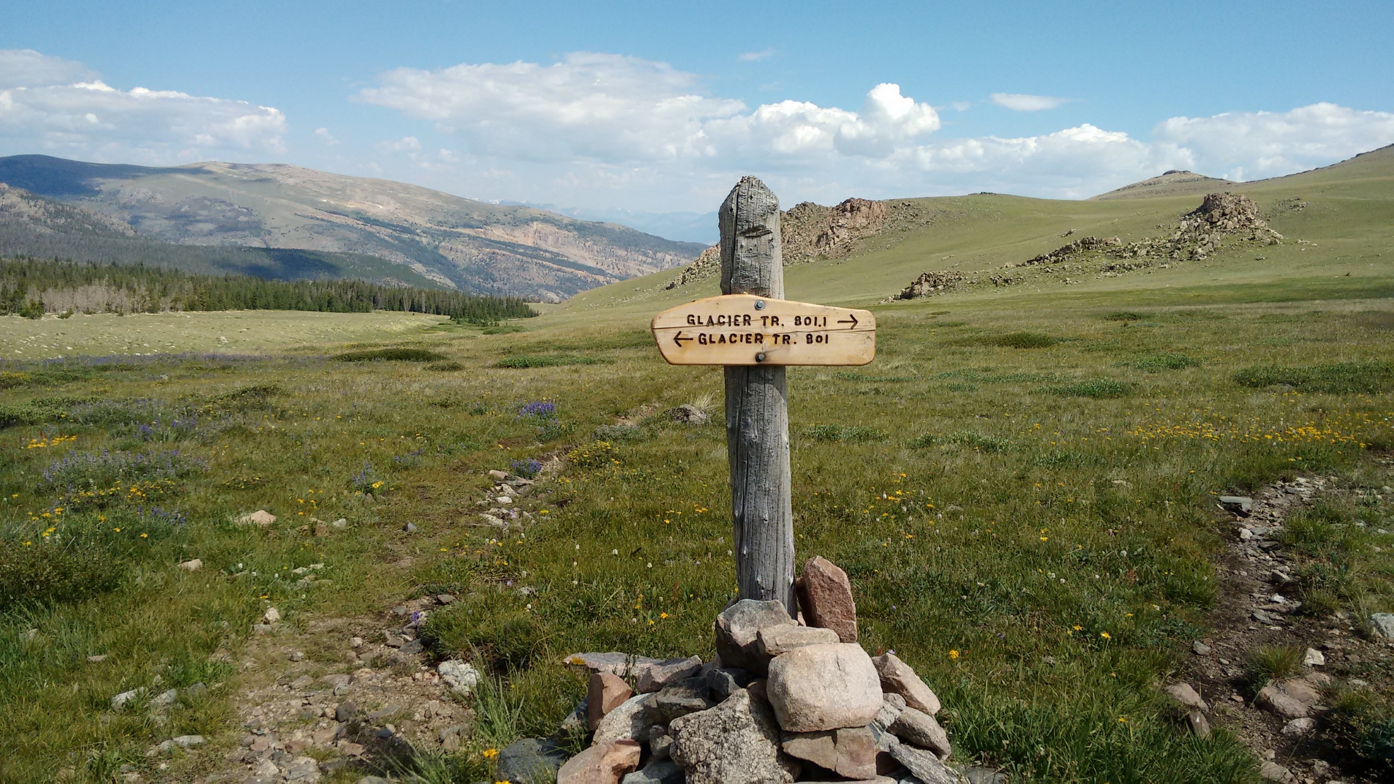
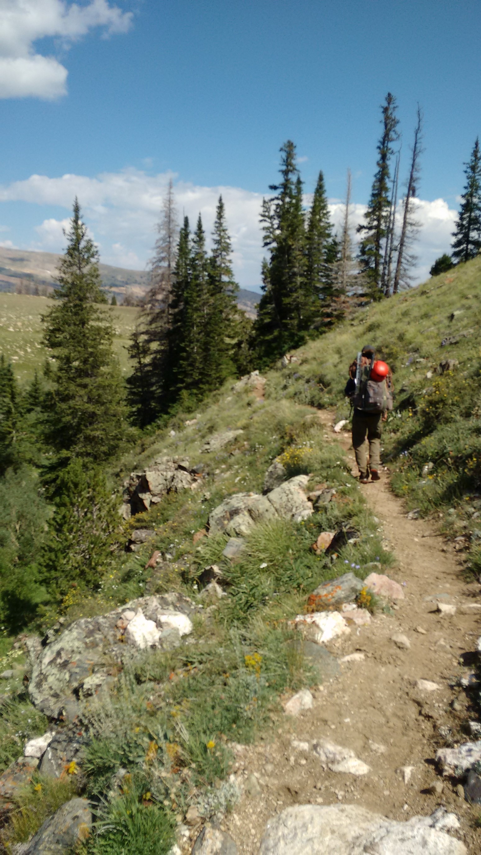
We kept descending, and the greenery and flowers came back!
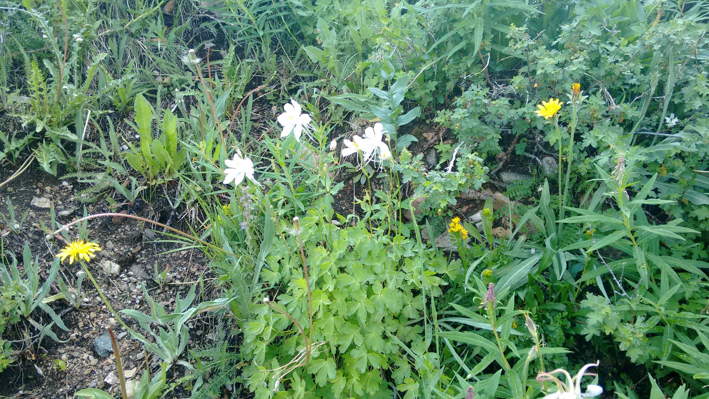
After the first switchback, we crossed a creek and had an early lunch, and dried our bags/tents one last time (condensation). When the clouds increased, we hit the trail again.
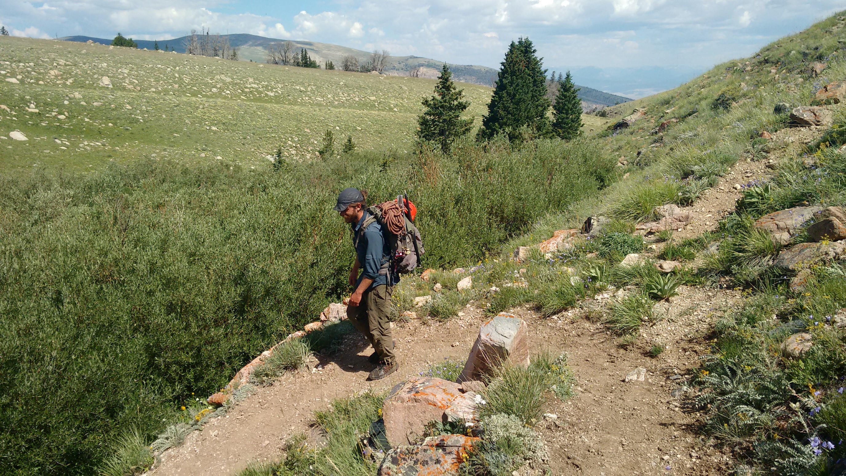
It was such a nice trail, with many new switchbacks, all the way down to the East Torrey Creek.
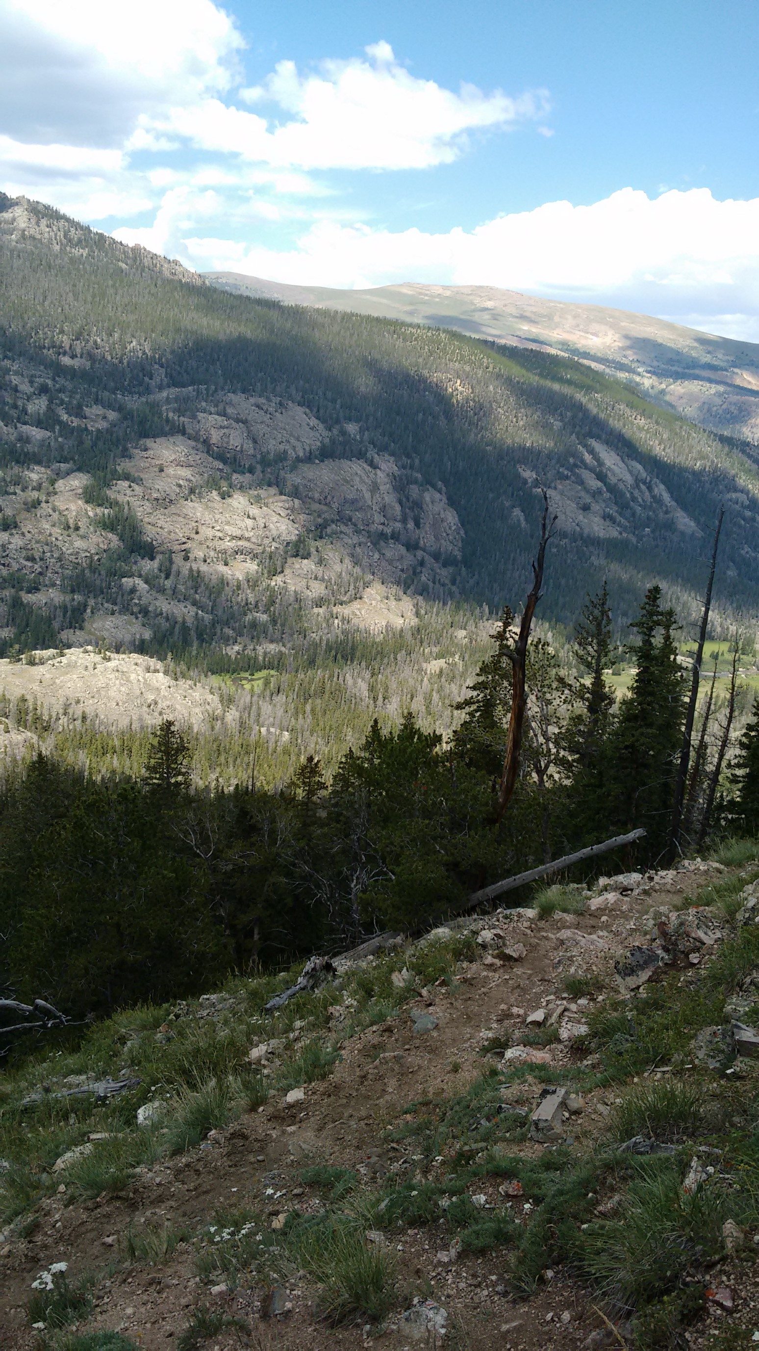
After the trail merged with the river trail, we saw a few dayhikers. It was weird seeing, and smelling, clean humans.
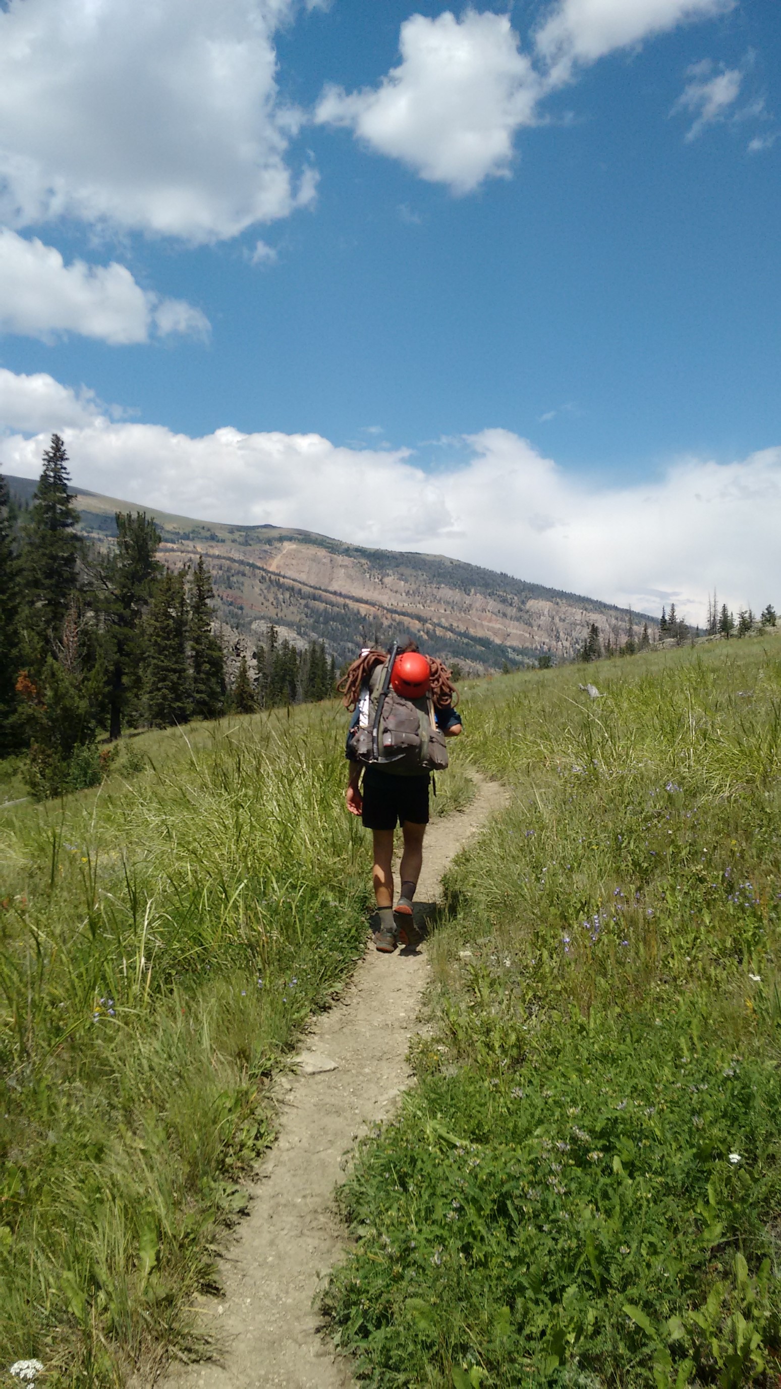
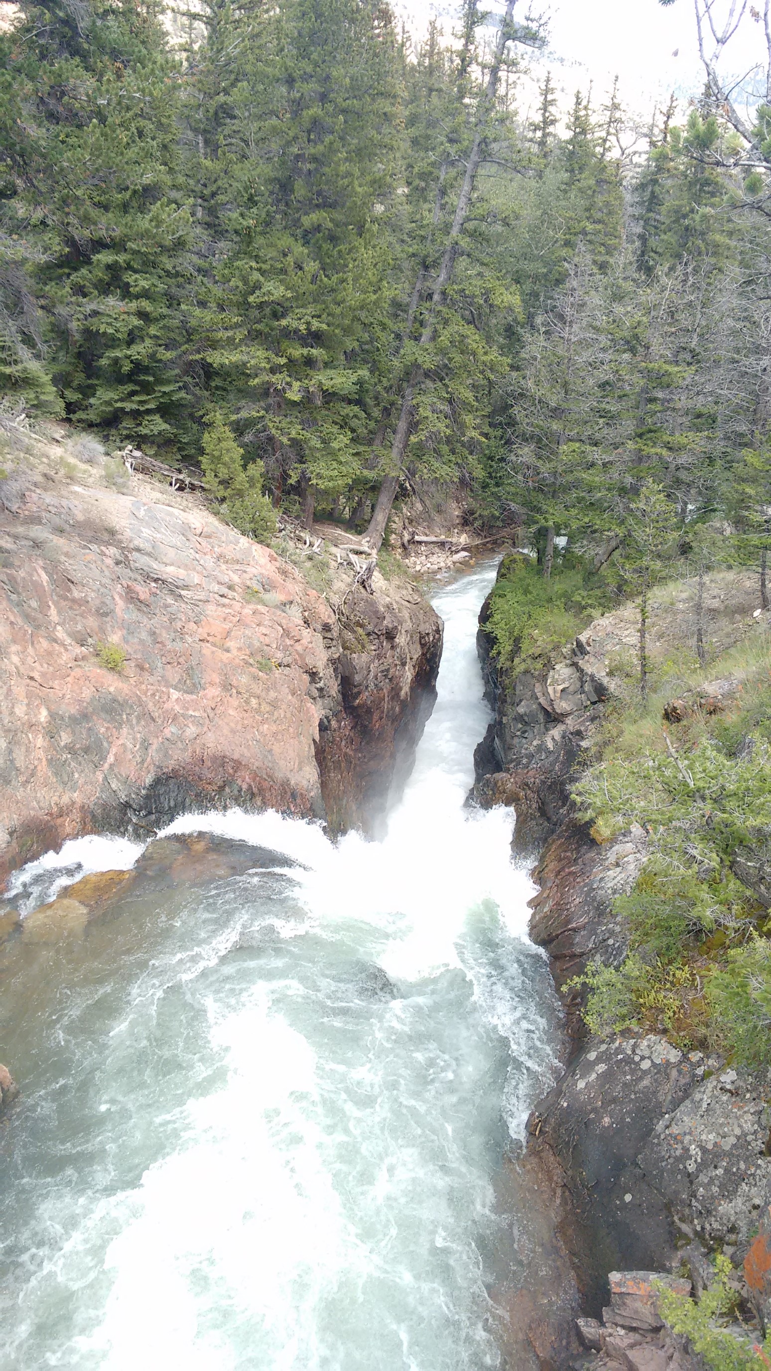
We pound out the last hour to the trailhead under threatening clouds, passing a small waterfall along the way.
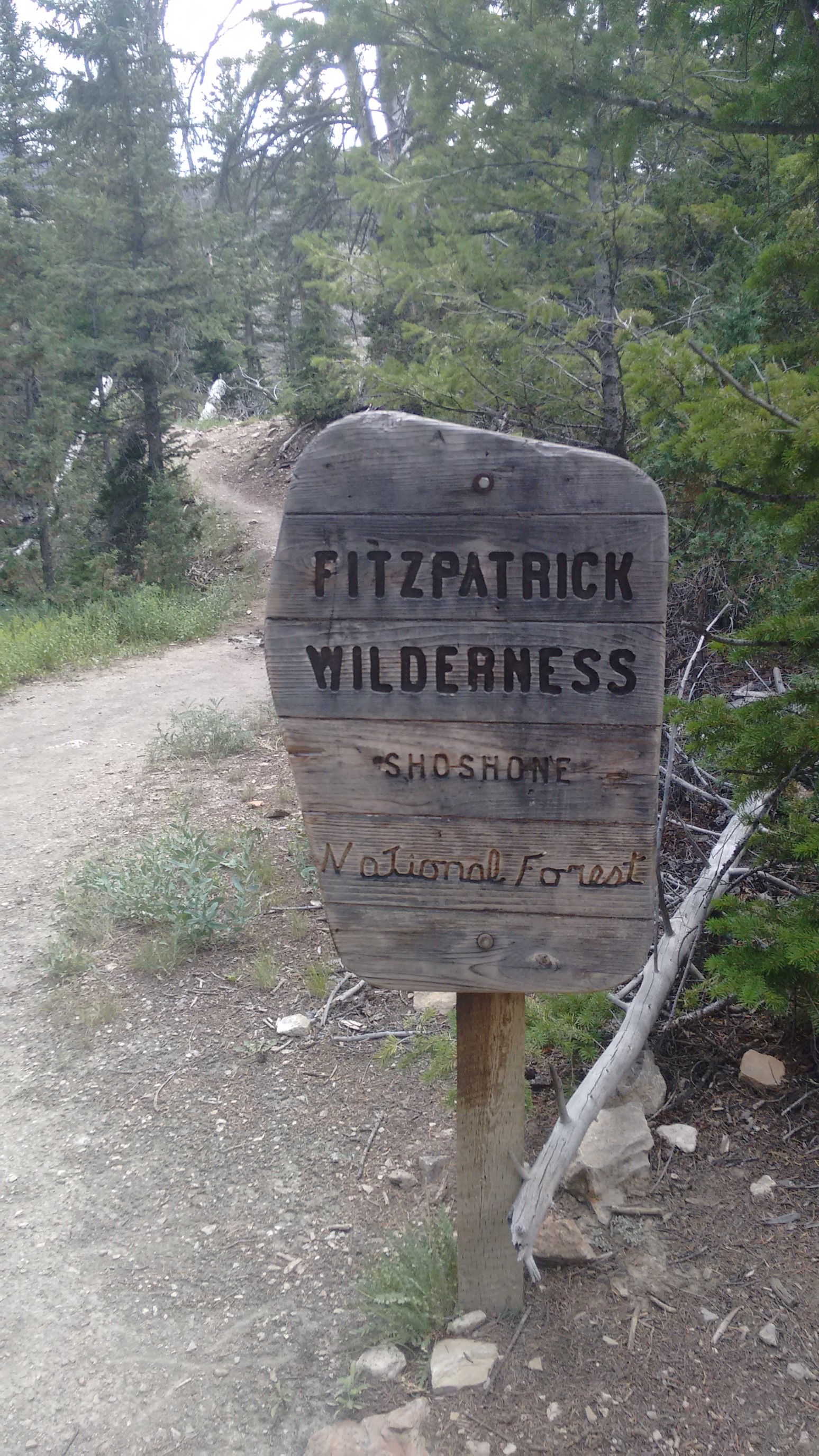
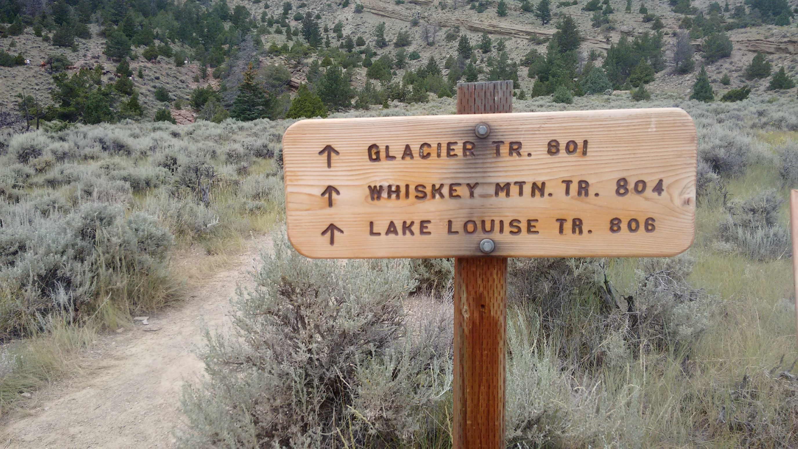
As we left the forest, I took some photos of the signs for the hikers entering. I like collecting pictures of the Wilderness signs!
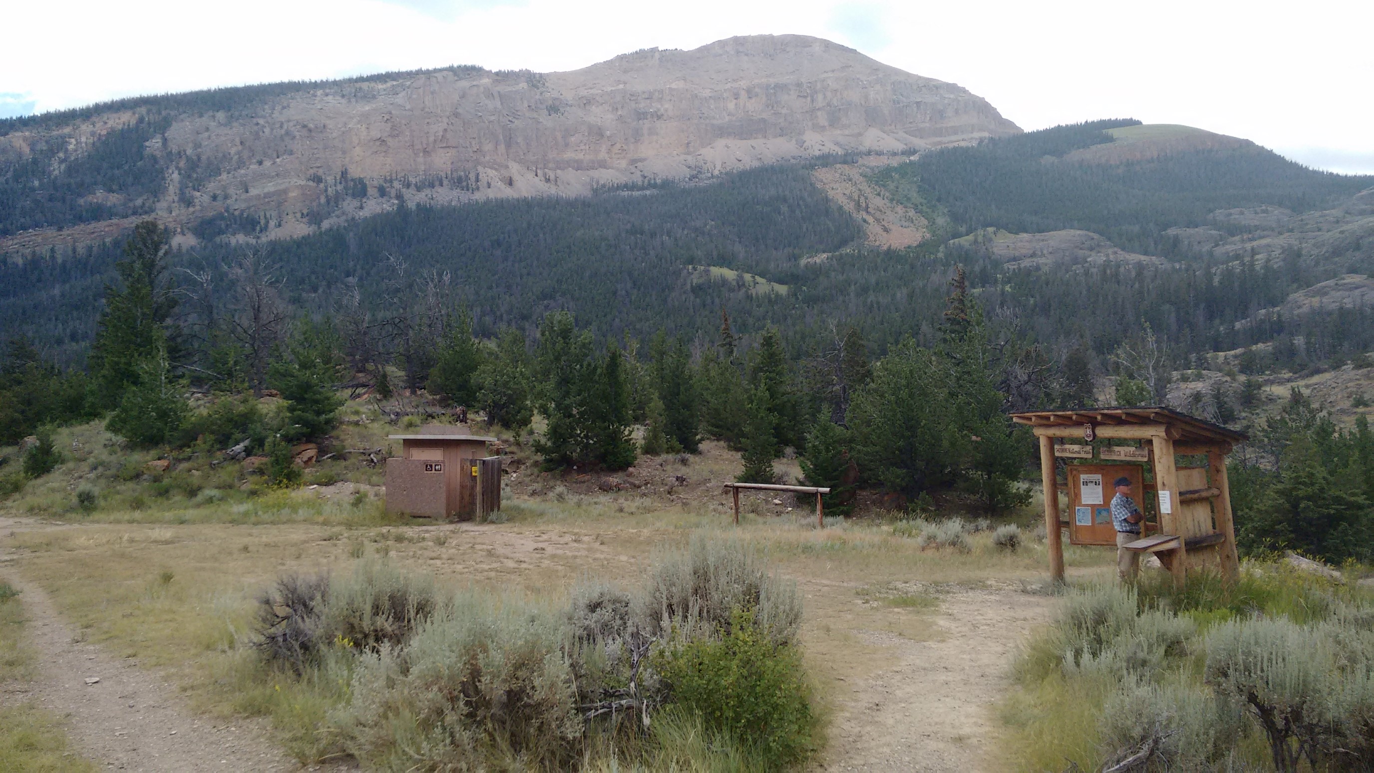
We arrived back to my car at 2:30pm. First order of business: bathroom. Then we piled all our gear into my car, changed into some non-offensive clothes, and drove to nearby Dubois for a celebratory beer and meal.
We grabbed a Coors at the Rustic Tavern, and then went next door for food at Cowboy Cafe. It was delicious, and more filling than last year! Afterward, we drove the 90 minutes back to Lander and retrieved Quickham’s car, and then showered at the local gym for $4.
We picked up some groceries, and made dinner at the city park, where they also allow you to camp for free! We reminisced over some photos, and I was asleep by 10pm.
The Wind River High Route was amazing! It beat me up quite a bit, but I thought it had the perfect level of challenge, difficult but still attainable. And the solitude was unparalleled! Now I’m more comfortable in planning another “high route” that is on my list – the Sierra High Route, which is twice as long (195 miles). Watch for updates on this page for my other planned adventures.
-Recon
Recon, you have my undying admiration. What a marvelous trip! Thanks for sending.
Margaret (Bend, OR)