Day 75: Friday January 18th, 14.7mi/23.6km
St. Arnaud Village (1935.2/638m) to John Tait Hut (1958.8/818m)
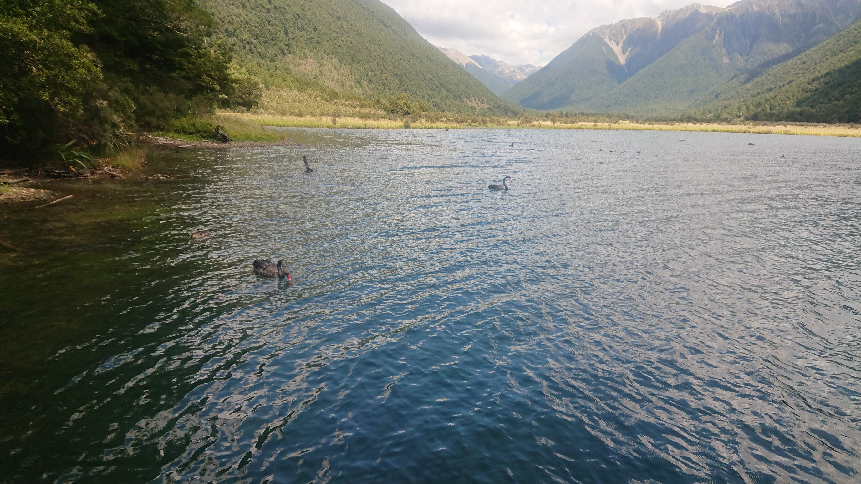
I wake up at 7:30am in the bunkroom, and lounge around – breakfast doesn’t start until 8am. I pack up a bit, and then go enjoy bacon, eggs and toast! And it’s only $16, which is relatively cheap for this area. I hurry back to my room, and say good-bye to my German roommate before he leaves. I have a nice long final shower, and finish packing and check-out at 11am. I head across the street to grab a soda pop and ice cream, and begin hiking at noon. It’s a beautiful walk along Lake Rotoiti.

I take a couple of breaks, but short ones because of the sandflies!
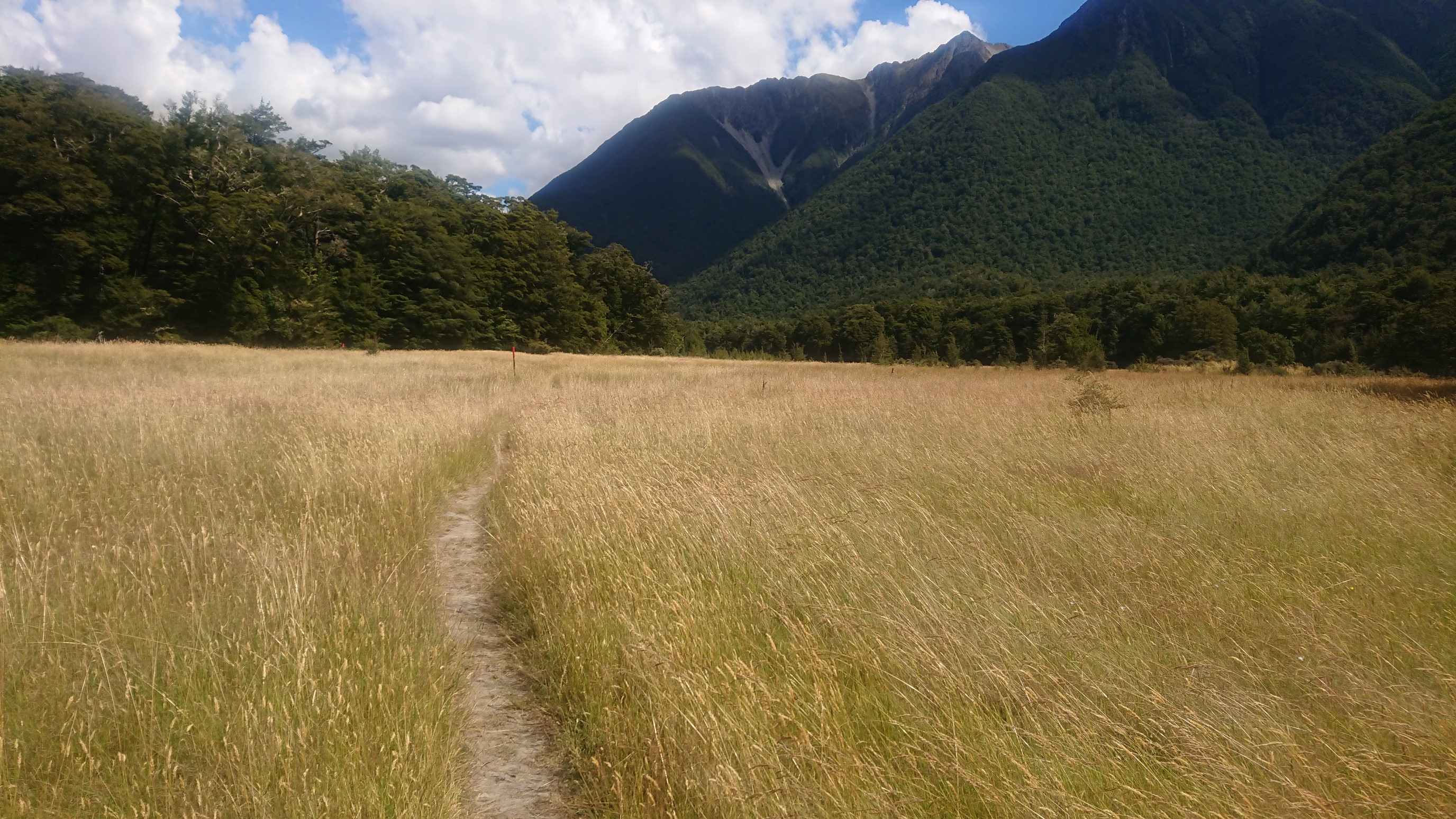
I get to Lakehead Hut at 3:30pm, and its HOT. I find the toilet, but there are wasps, so I’m outta there pretty quickly. It’s a nice trail thru the meadows along the Travers River.
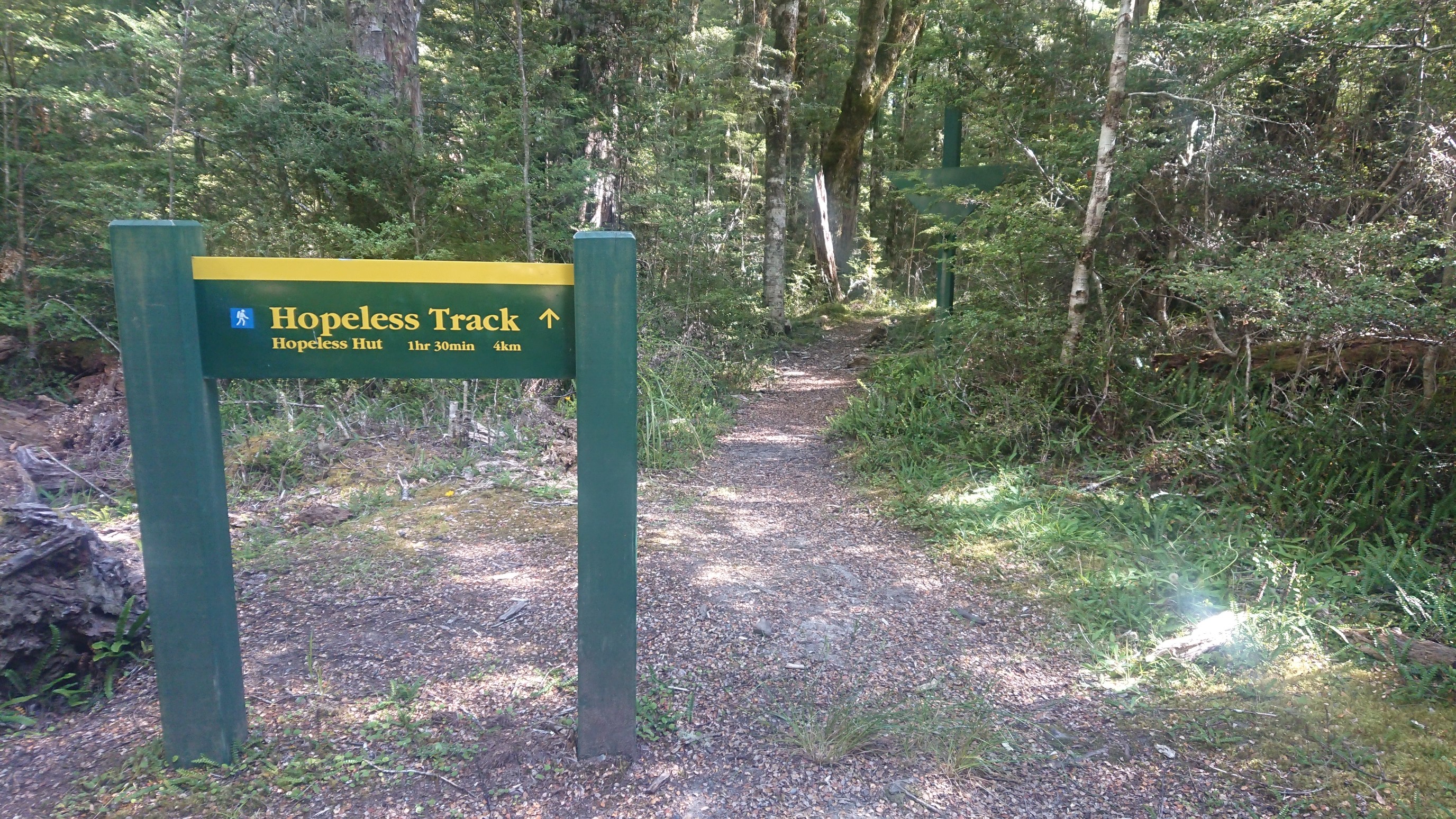
I didn’t turn down this track, but I love the name.
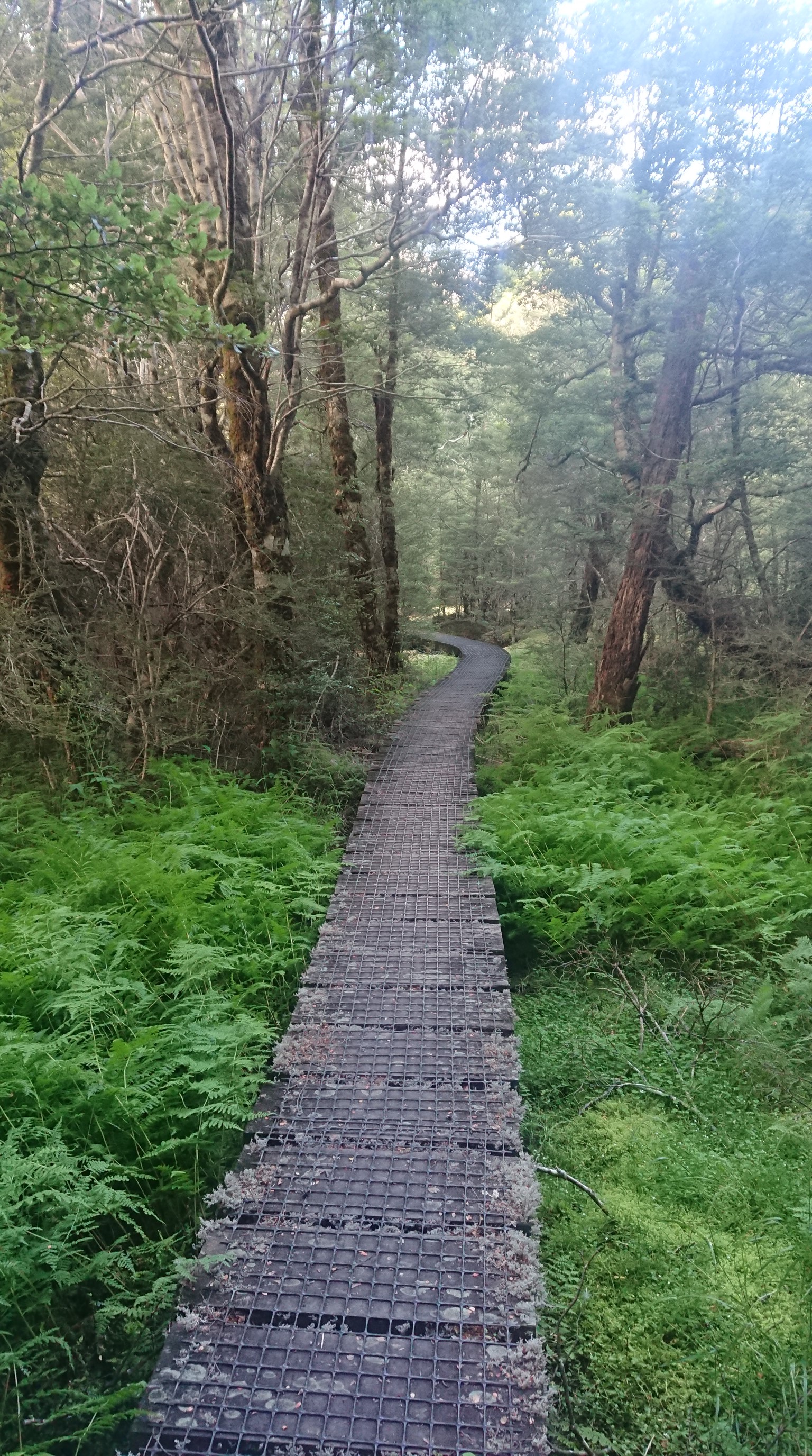
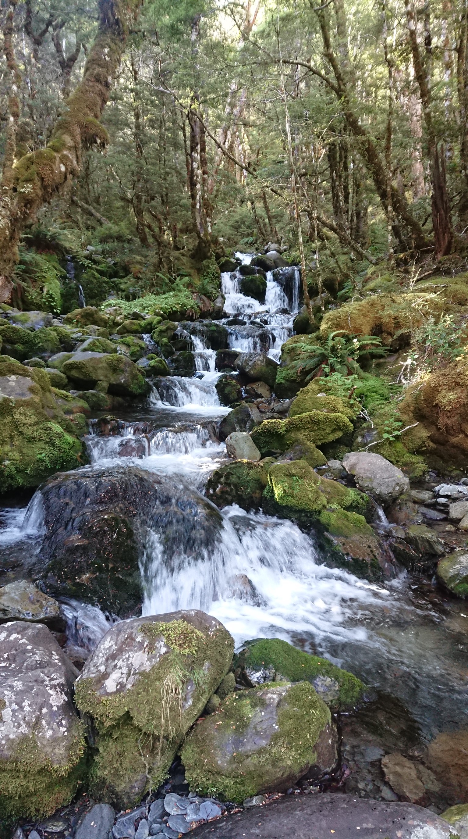
Some parts of the meadow were marshy, and the DOC has built this beautiful boardwalk thru the wet areas.
The valley narrows, and there are nice little creeks flowing across the trail, joining the Travers River.
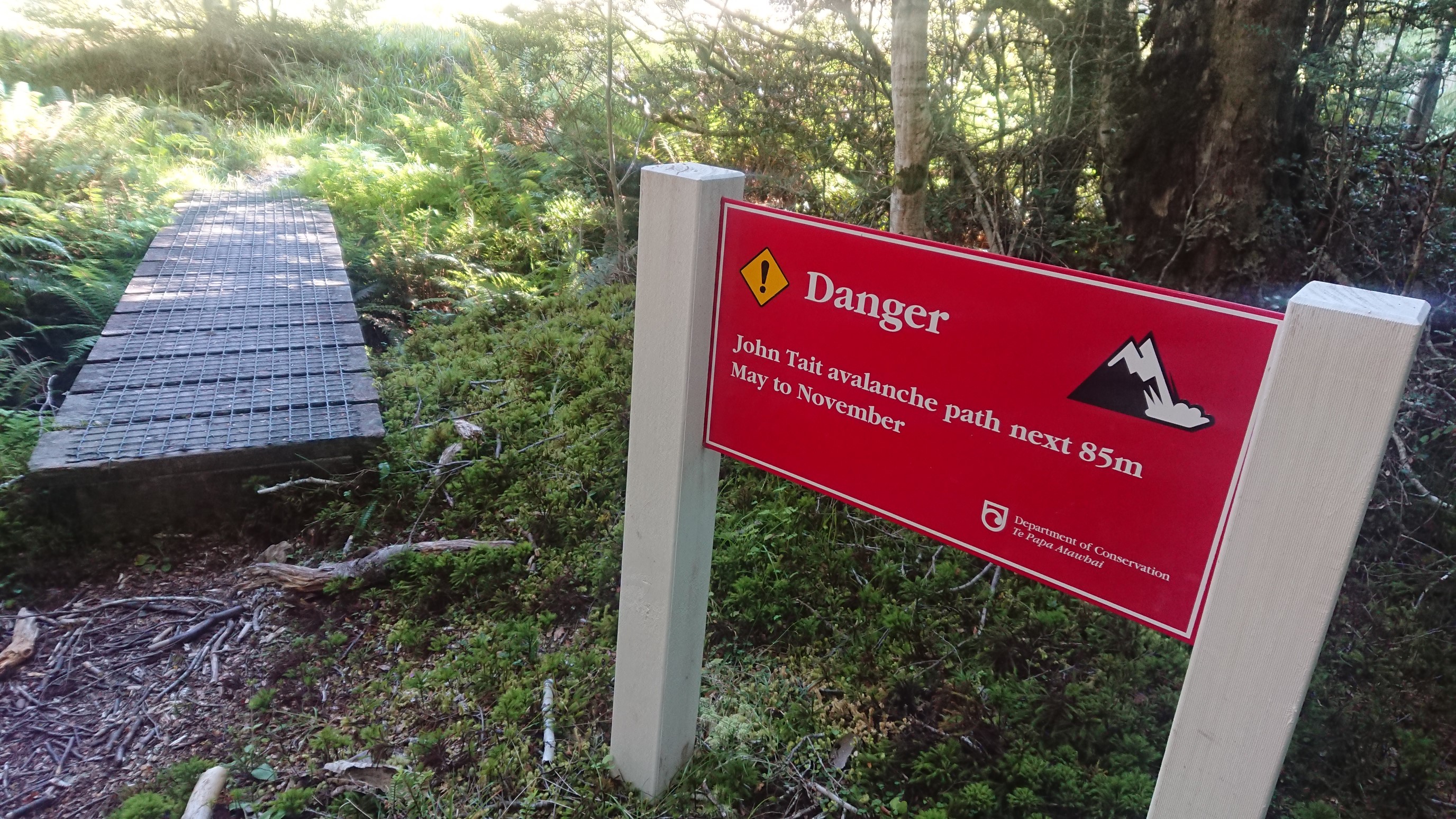
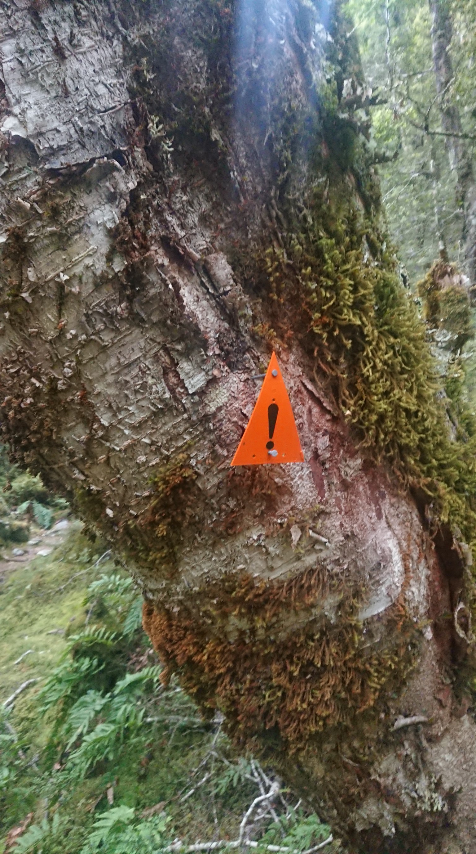
Just before the John Tait Hut, there is a warning sign about avalanches. Yes, “May to November” is accurate, since that’s wintertime here.
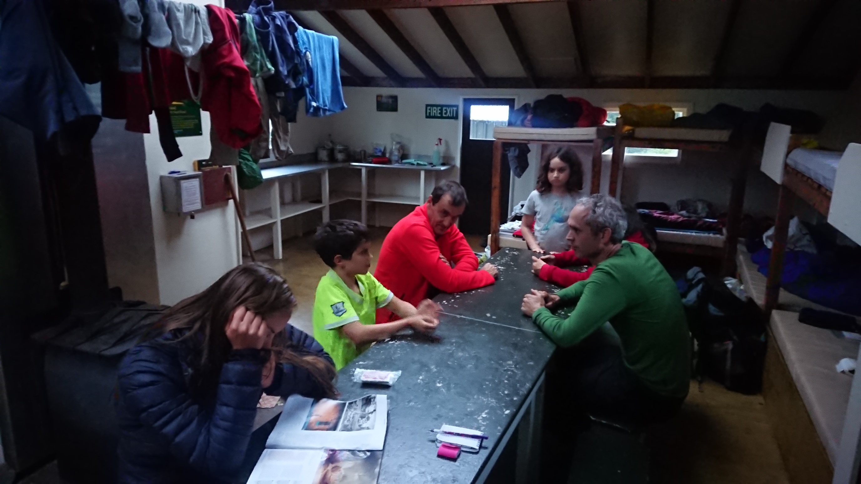
I arrive to the hut at 6:30pm, and there is a tramping club there with 10 people, plus a couple of TA hikers. Fortunately, it’s a big 20-person hut, so I easily fit. I have some nice dinner conversations, finishing dinner at 7:30pm, and relax until bedtime at 9:30pm.
Day 76: Saturday January 19th, 13.4mi/21.5km
John Tait Hut (1958.8/818m) to Blue Lake Hut (1980.3/1199m)
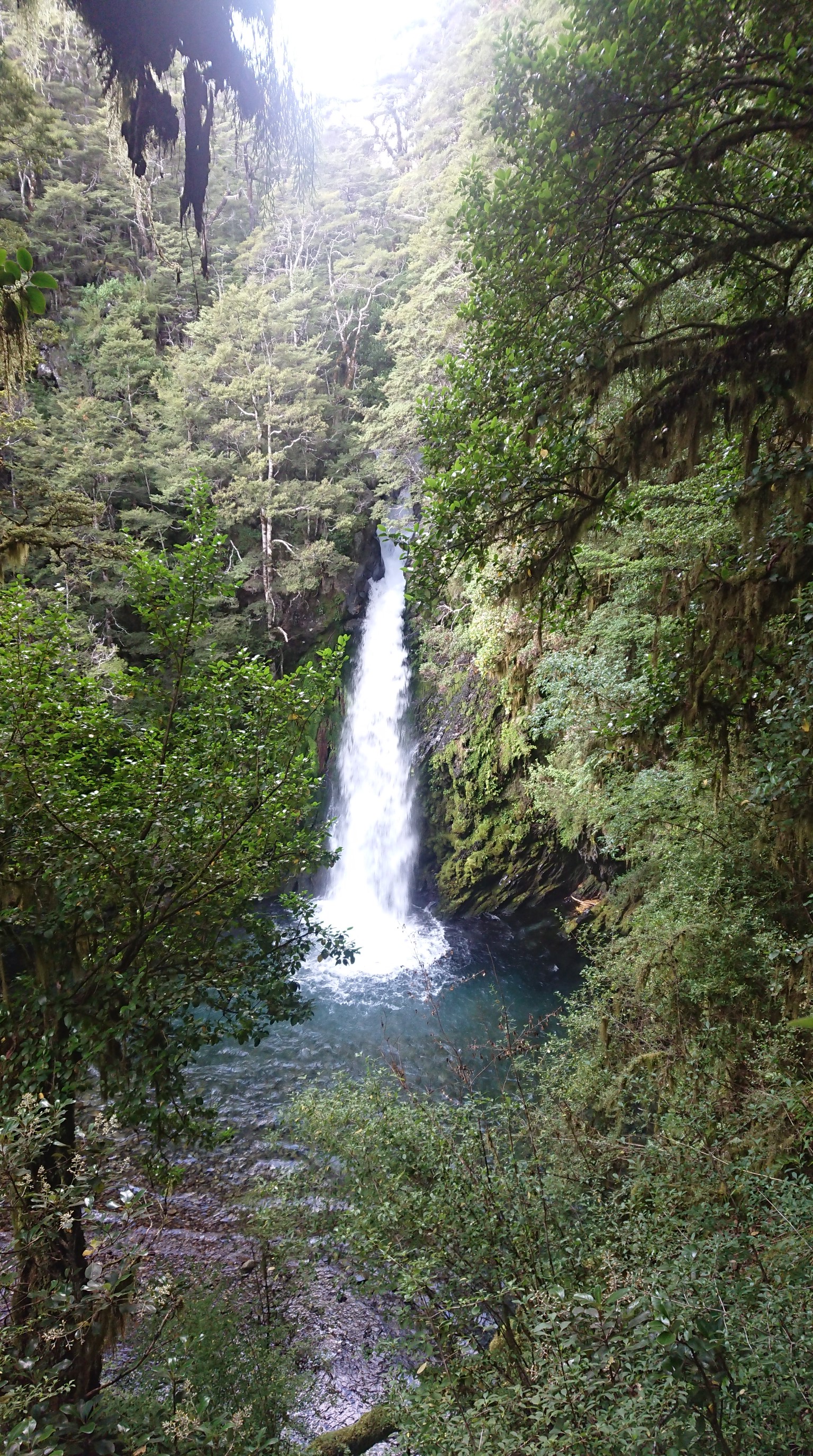
I woke at 7am, sleeping in a full 2 hours after the tramping club left at 5am. I eat breakfast, and get on trail at 7:45am. It’s cold for 20 minutes, then I have to de-layer. A half-hour later, I pass by Travers Falls.
I continue up the hill, and it’s an easy but steady climb. I get to the Upper Travers Hut at 10am and take a break.
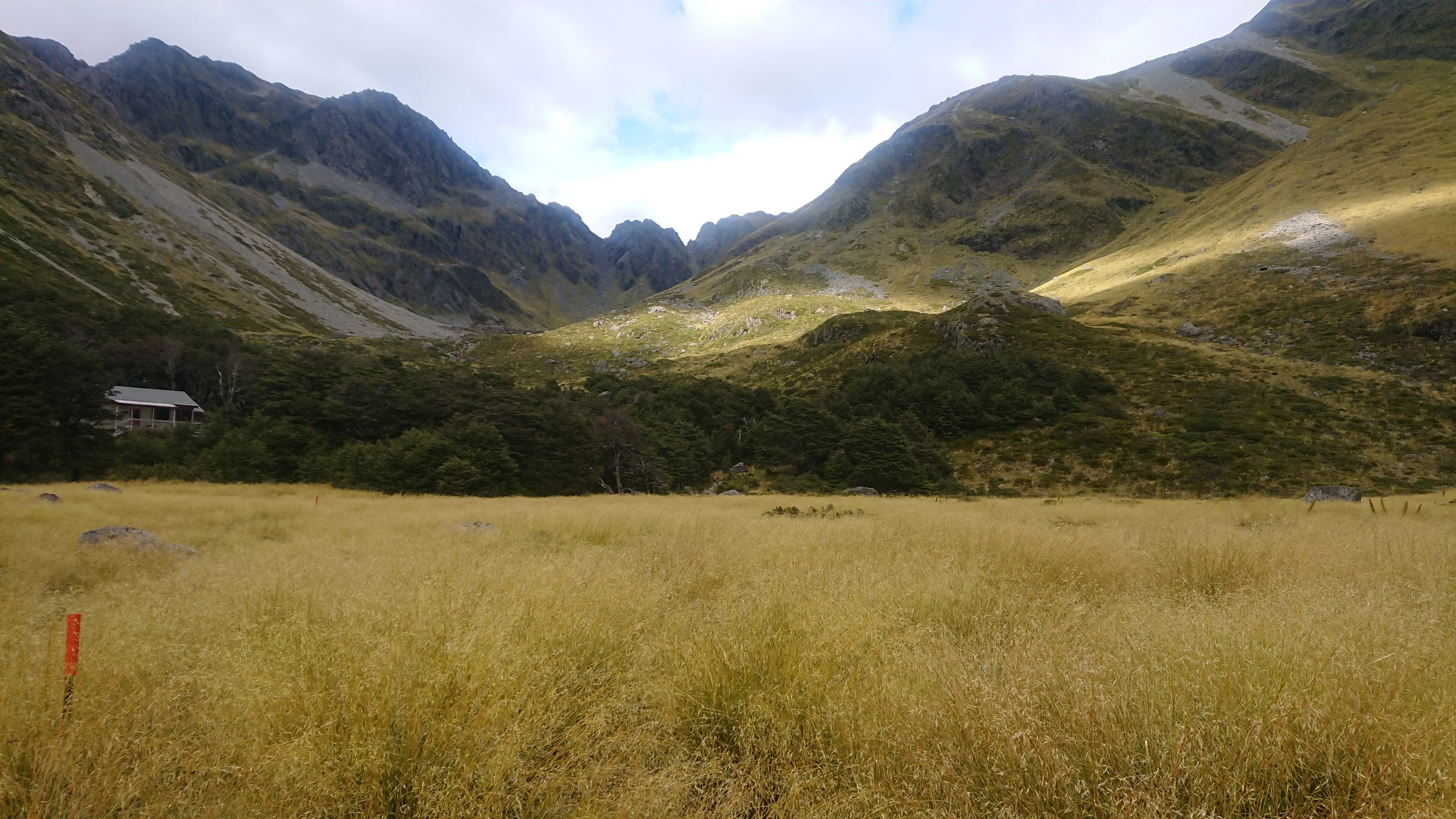
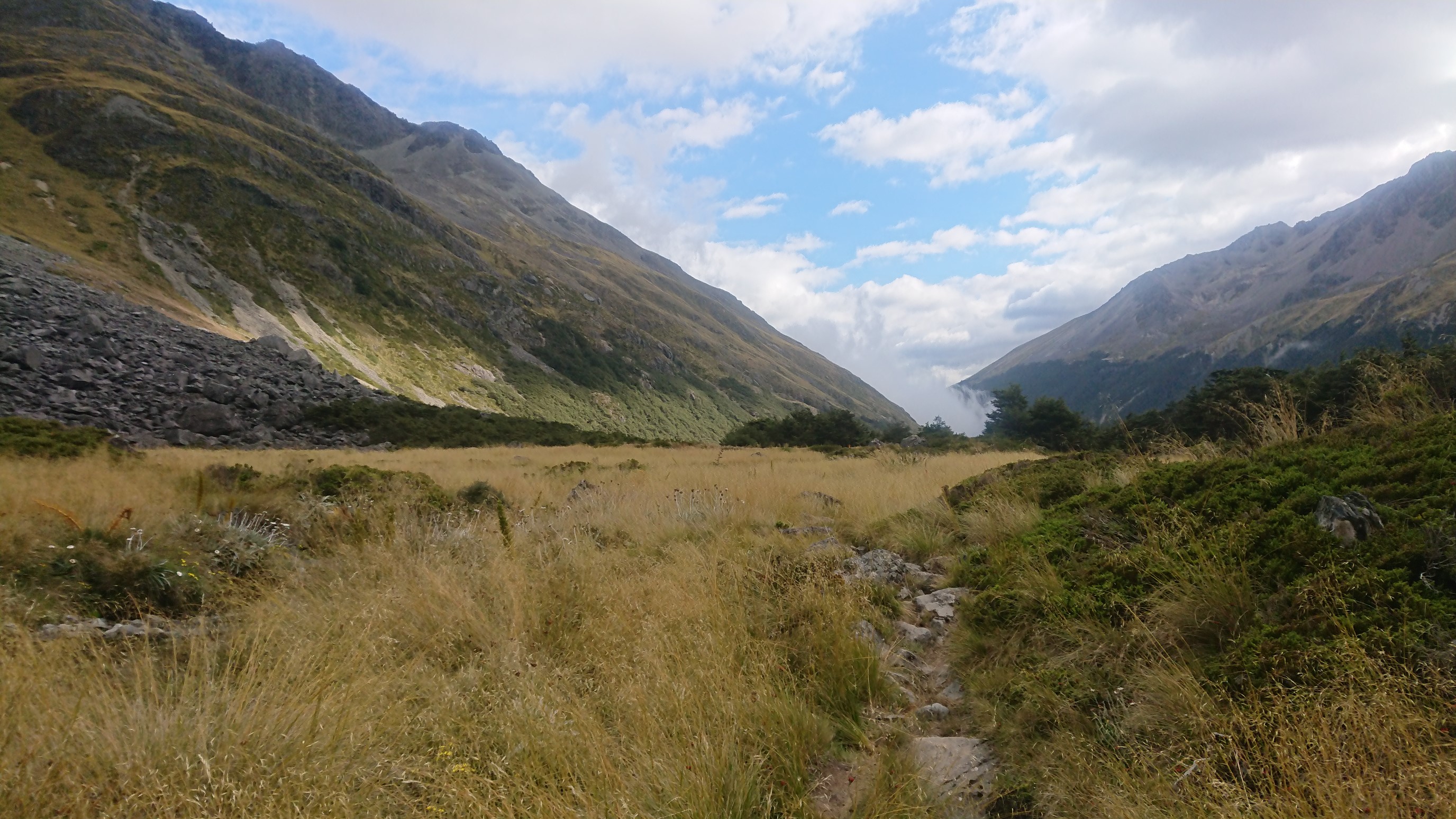
There is still 1 hiker there from the night before, and she is packing up to head to St. Arnaud Village. We chat, and I head up the Travers Saddle in the cold, cloudy day.
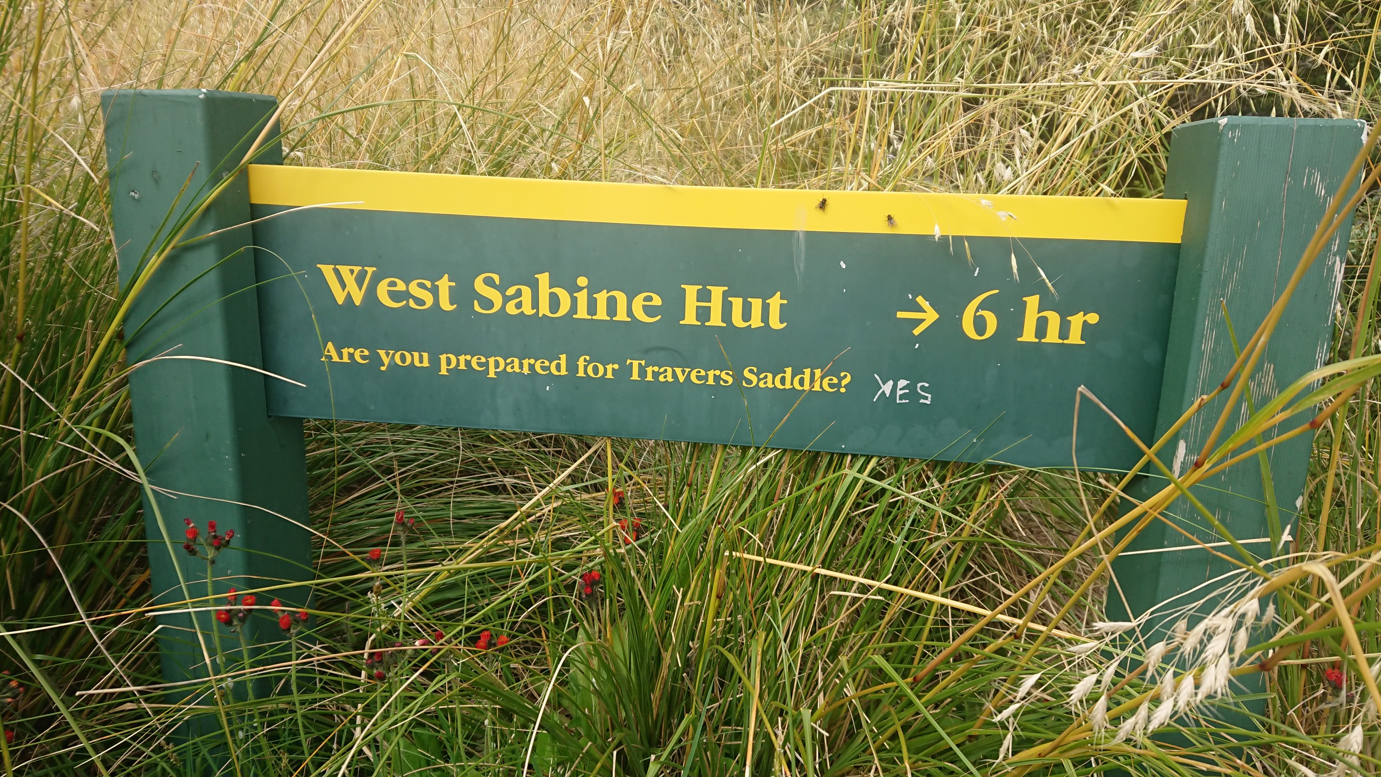
Just past the hut, I enter another avalanche path. I really like these signs, I wish we had them in the US.
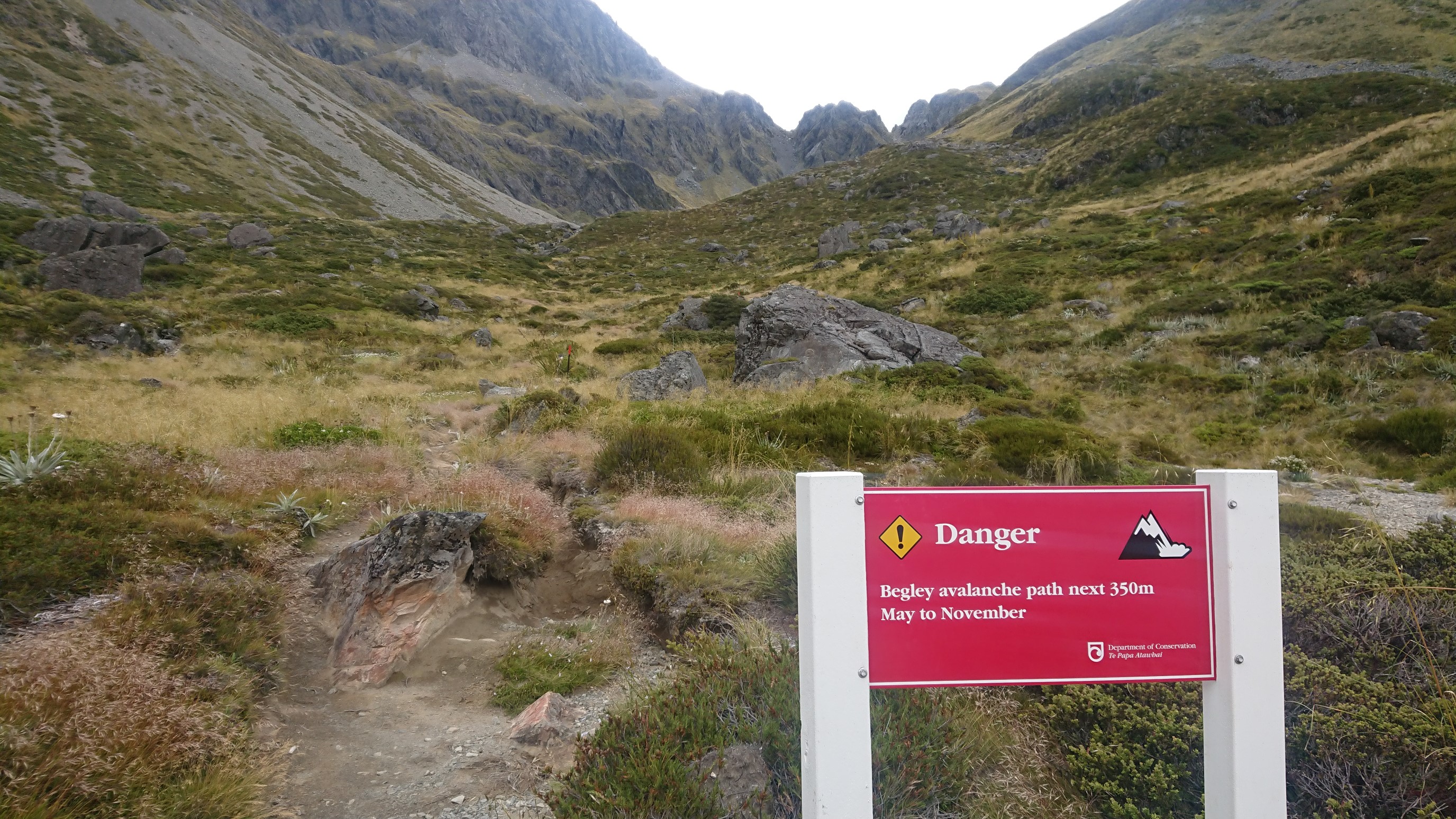
It’s a steep climb now, so I warm up quickly, arriving at the top of Travers Saddle (el. 1787m) at 11am.
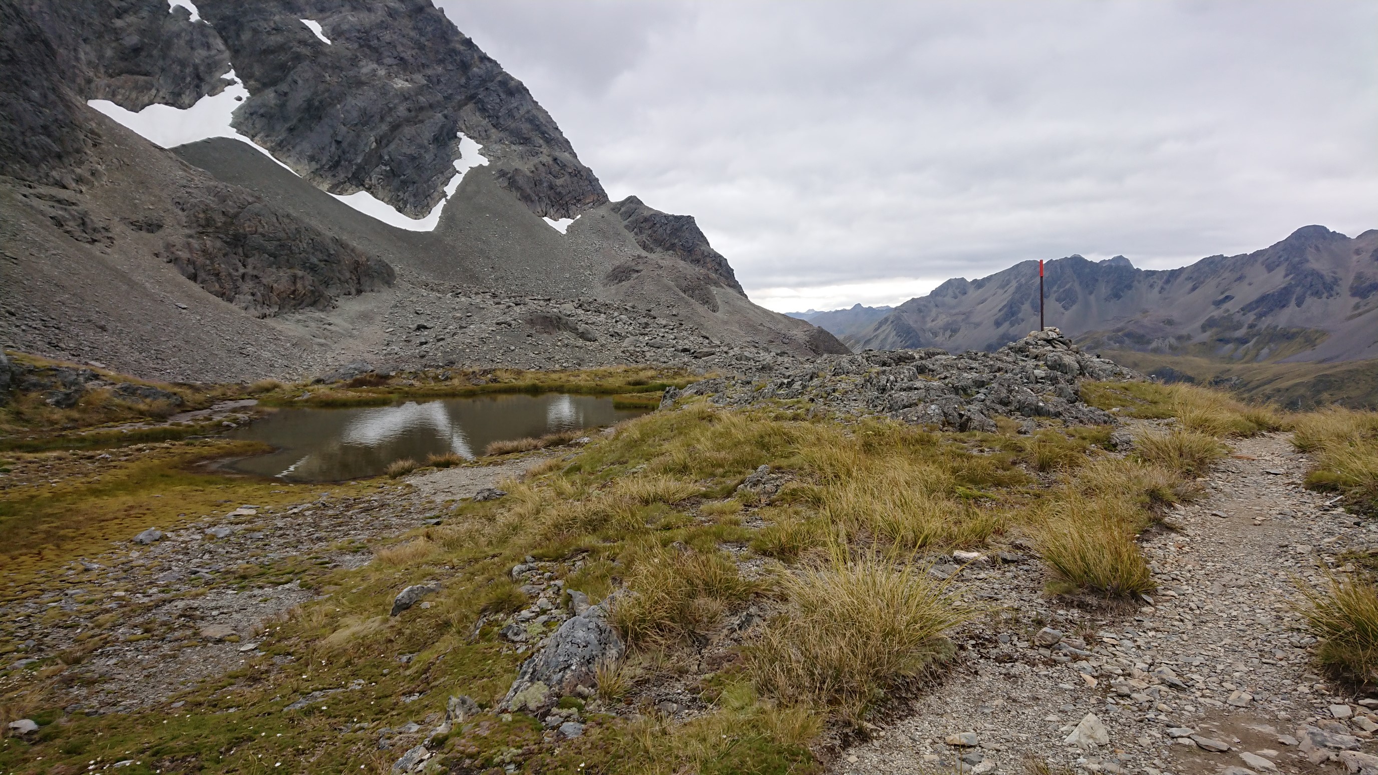
It’s windy, so I keep going, and get down to treeline. The views on the descent are pretty spectacular.
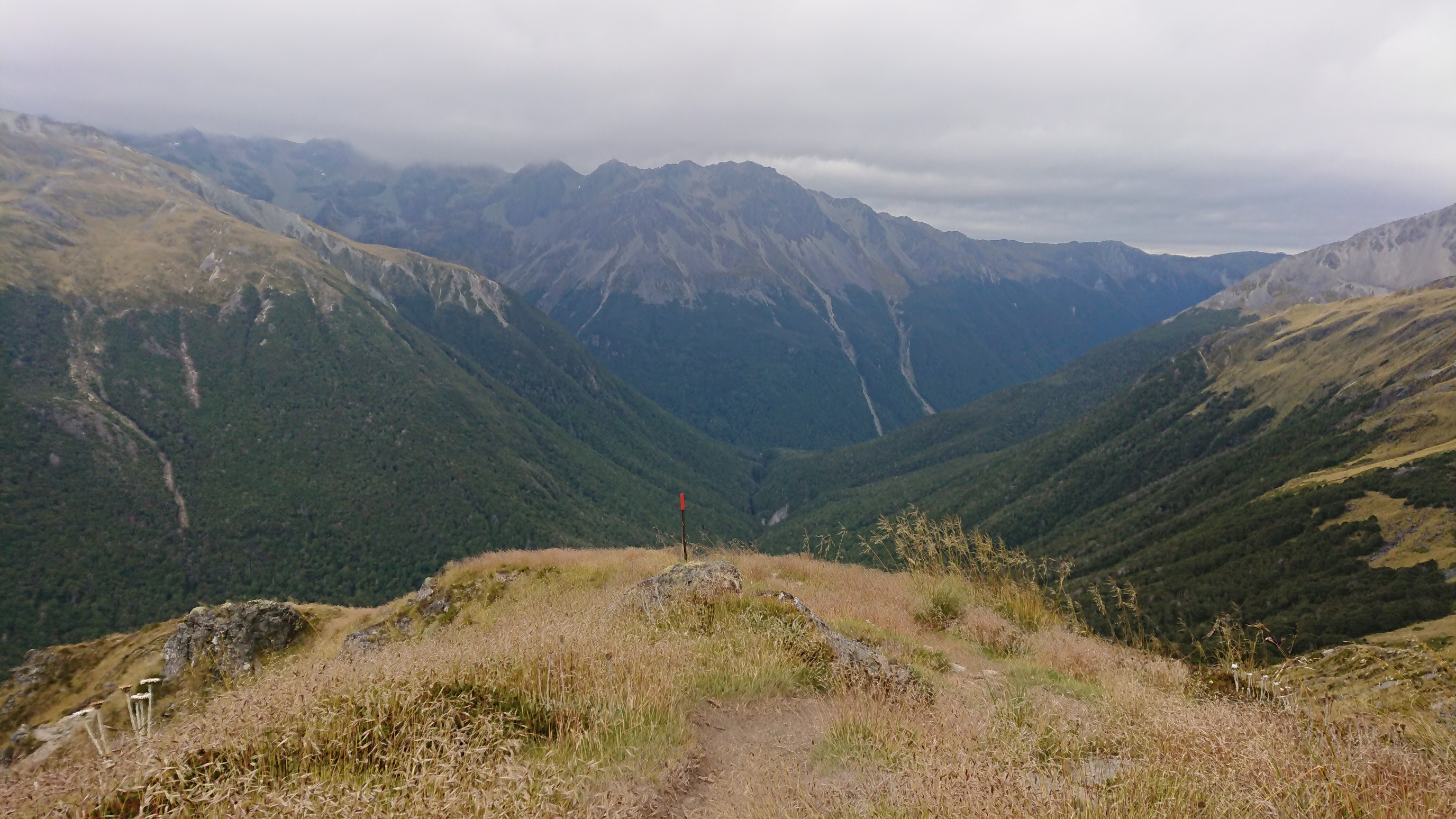
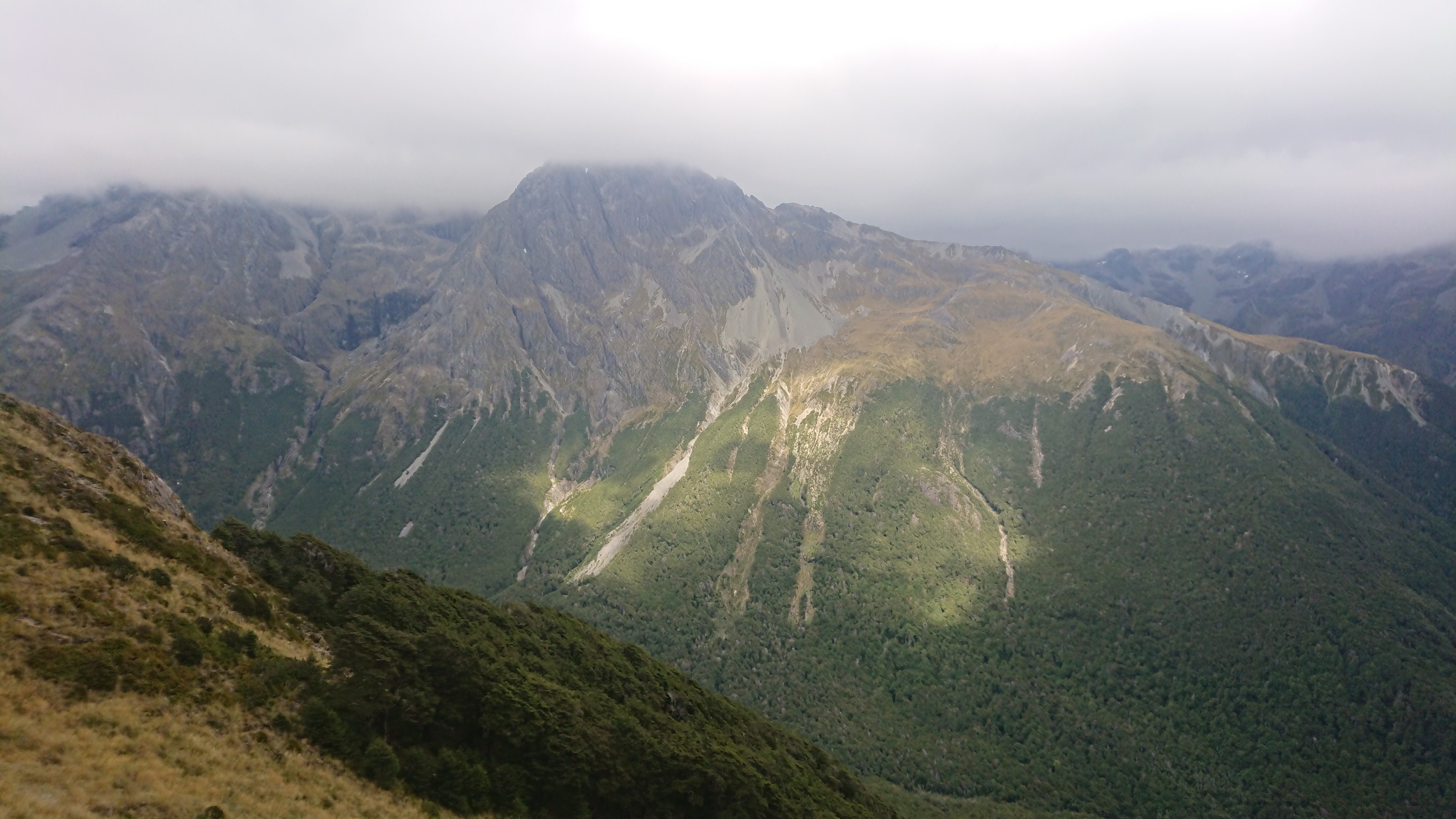
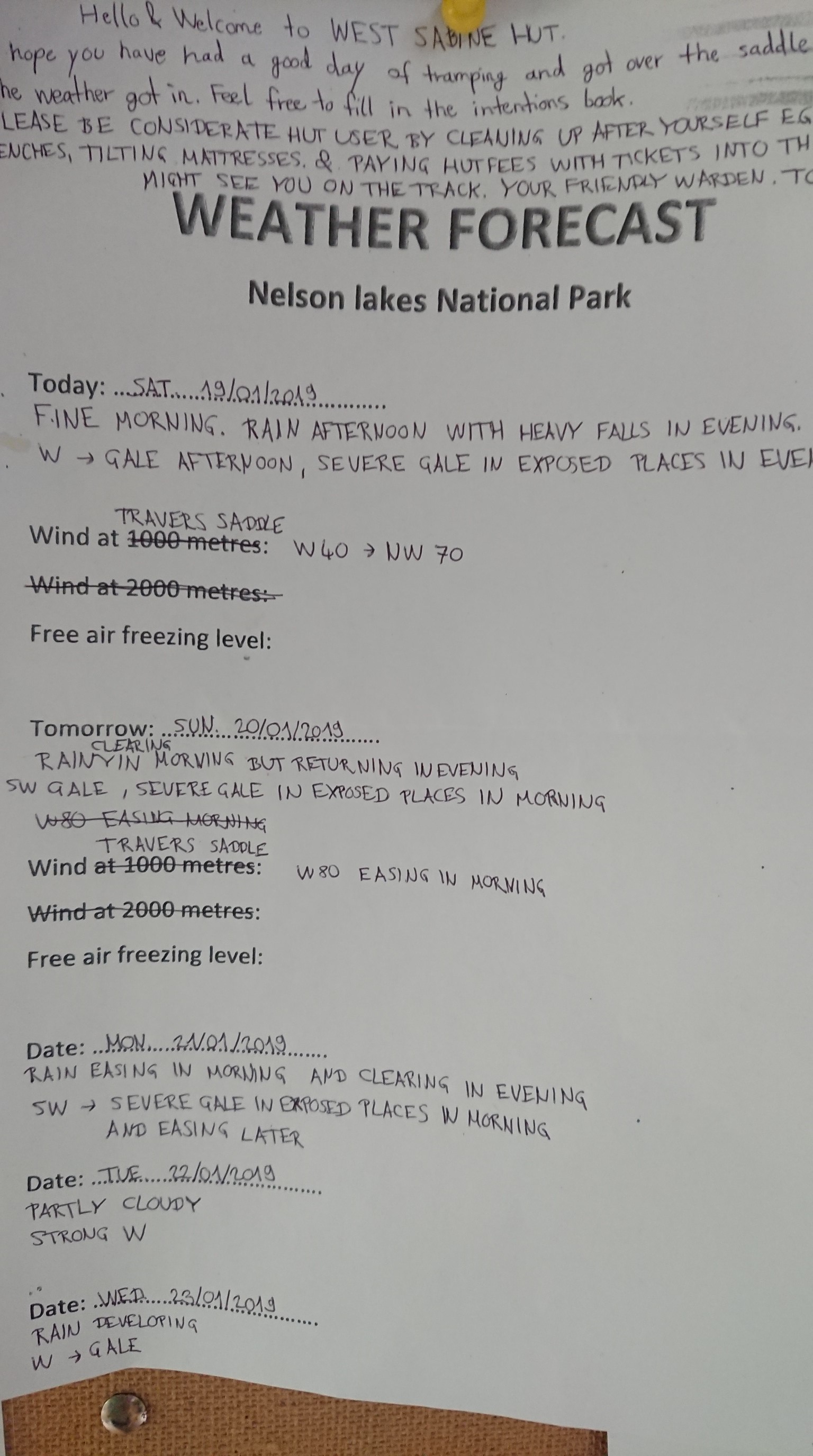
I pass several hikers along the Sabine River, and get to the West Sabine Hut at 1:30pm, and have lunch. I eat quickly, and leave at 2pm to beat the forecasted rain storm.
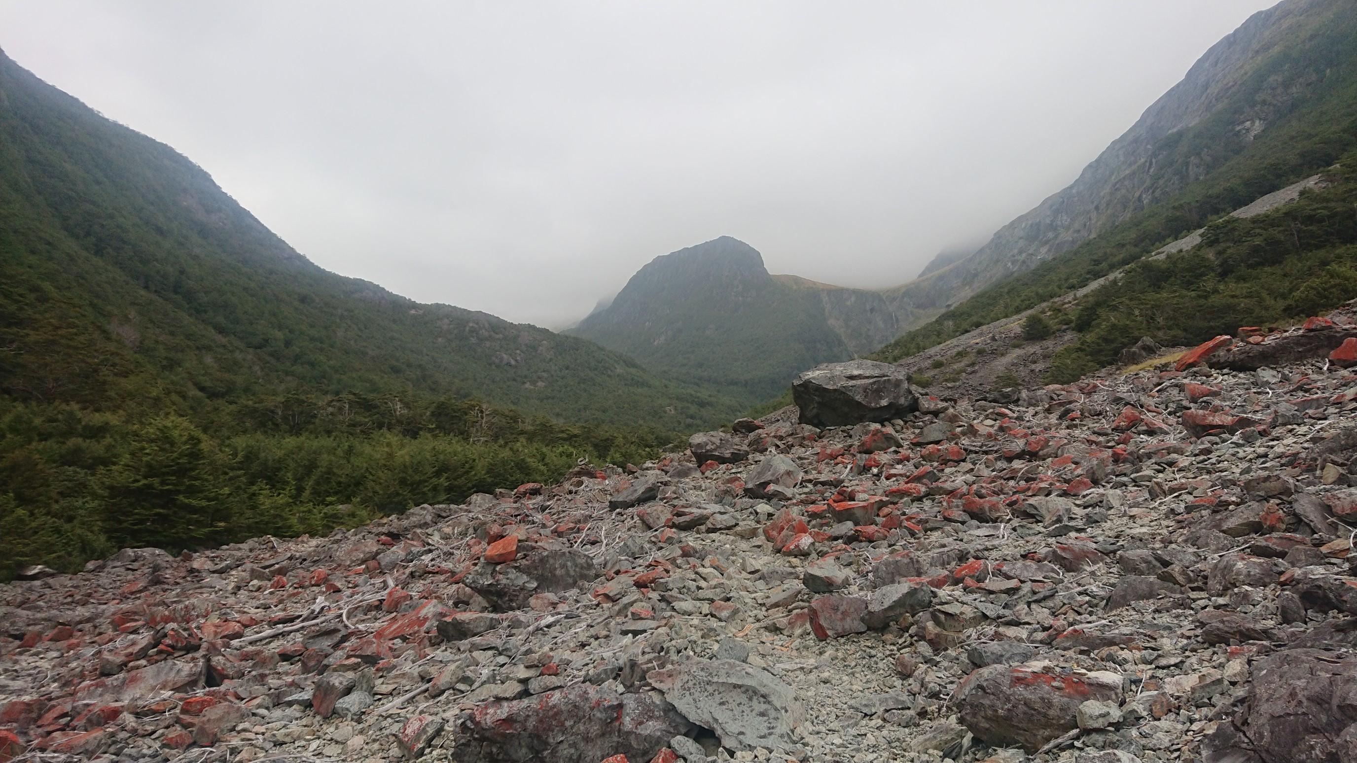
I move quickly up the 7km of trail, following the Sabine River West Branch uphill. There are a few bits of scenery along the way.
I’m not sure why this tree gets it’s own punctuation!
I arrive at Blue Lake Hut at 3:45pm, walking in light rain for the last 10 minutes. Once I get indoors, I meet about 12 other people staying in the hut, as this is another large hut.
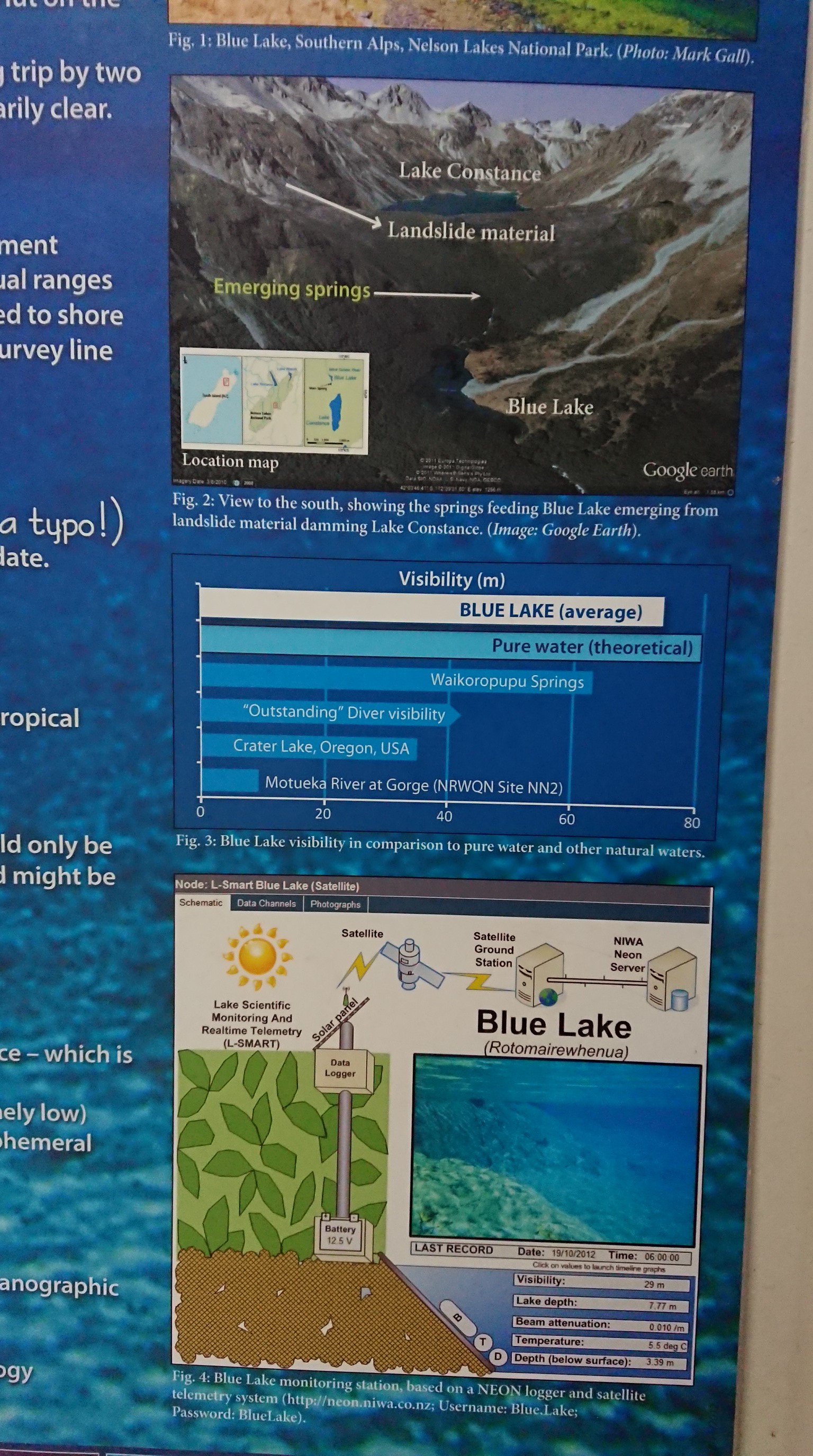
It even has a sign explaining about Blue Lake, for which the hut is named. Apparently it is twice as clear as Crater Lake, Oregon (on the PCT).
I have dinner at 6pm, talk to the on-duty Hut Warden, and do some strategizing for tomorrow. Finally, I get to bed at 9:30pm.
Day 77: Sunday January 20th, 9.9mi/15.9km
Blue Lake Hut (1980.3/1199m) to Waiau Hut (1996.2/861m)
I woke up late on purpose, since the weather forecast said rain until 9 or 10am. But, when I woke up at 7am, the sky was clear and blue!
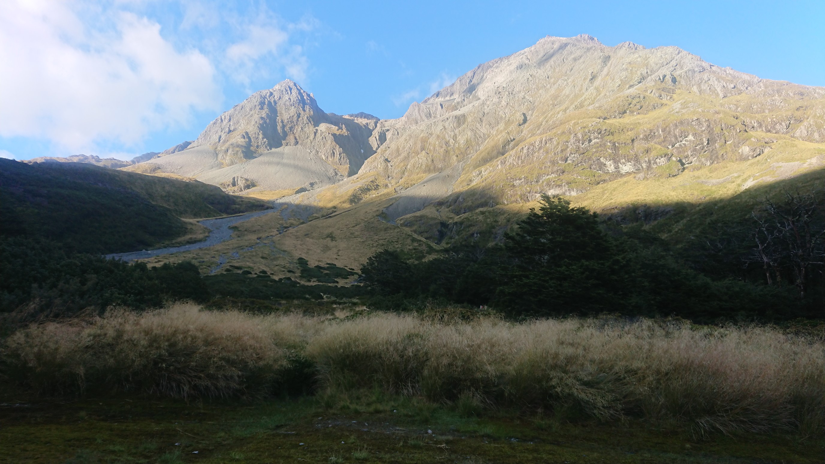
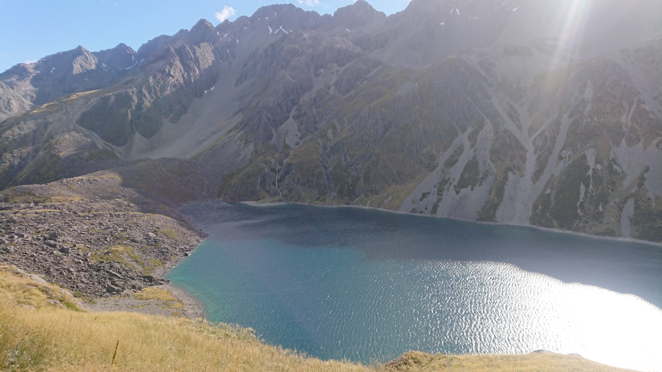
The six TA hikers packed up quietly, and we all left just before 8am. I stopped by the Blue Lake to see the clarity.
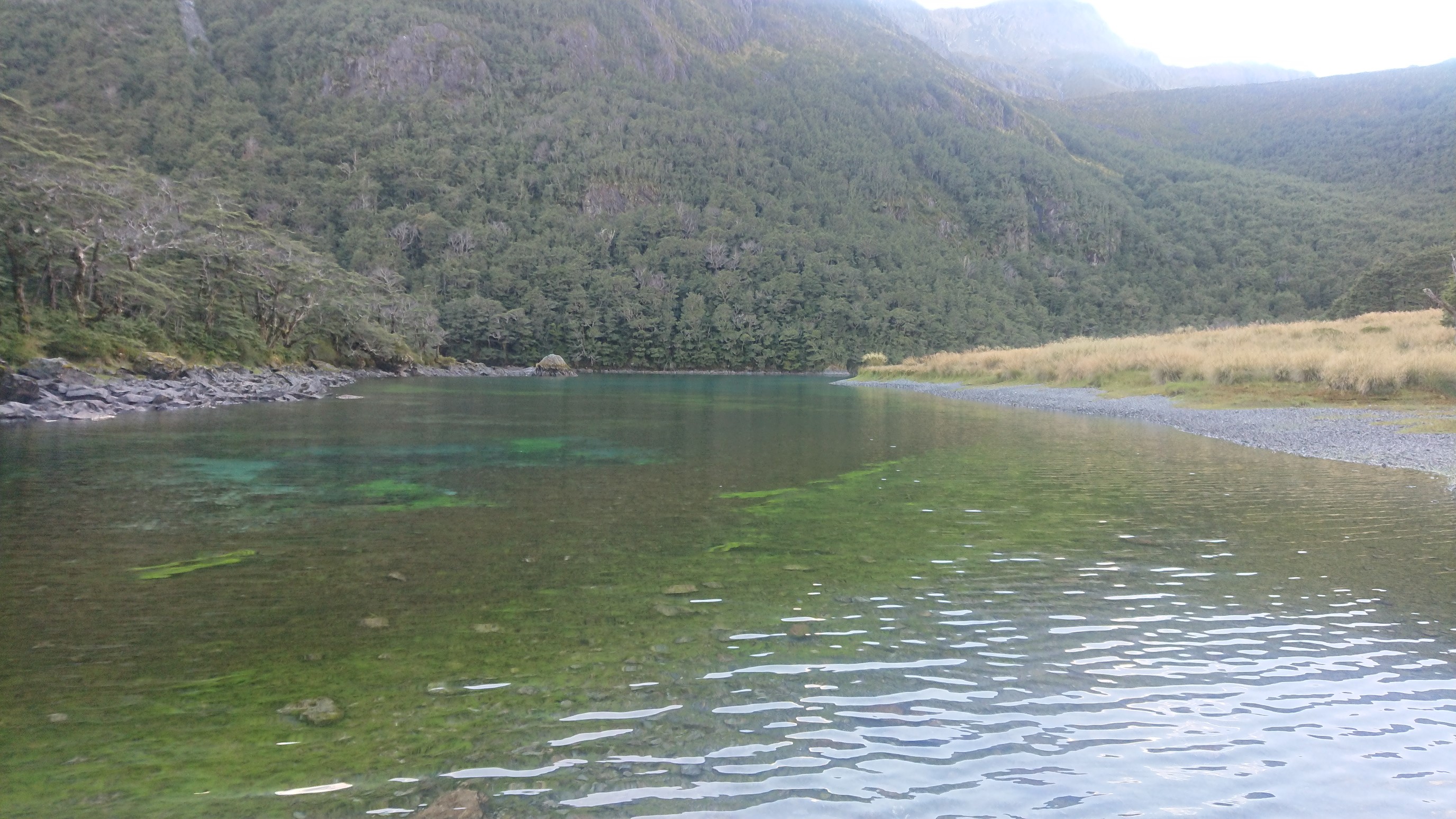
It’s hard to tell how clear it really is, since it’s not that deep. Looking back down on Blue Lake:
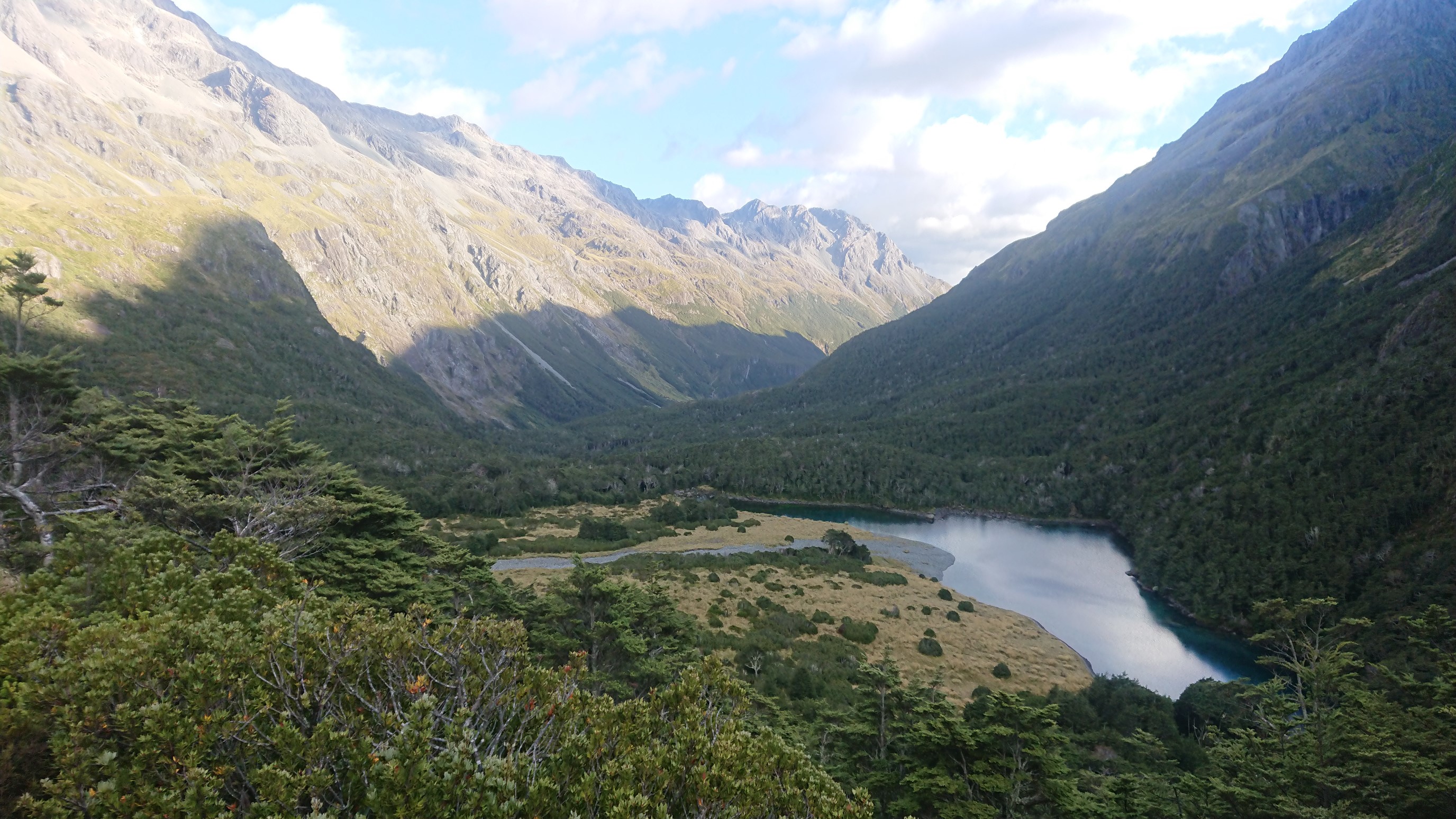
I catch up to the Dutch couple, and we hike up to Lake Constance. We soon catch the French guy, and the Czech girl.
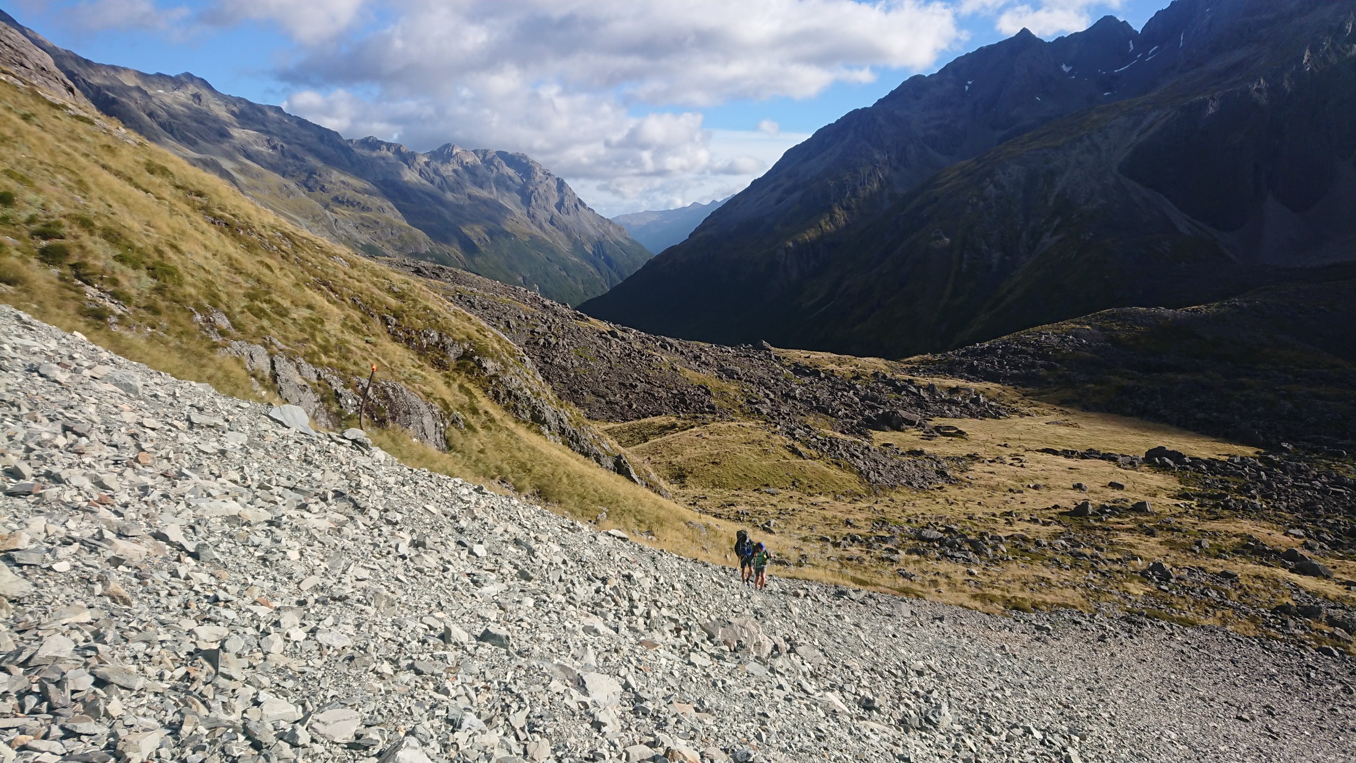
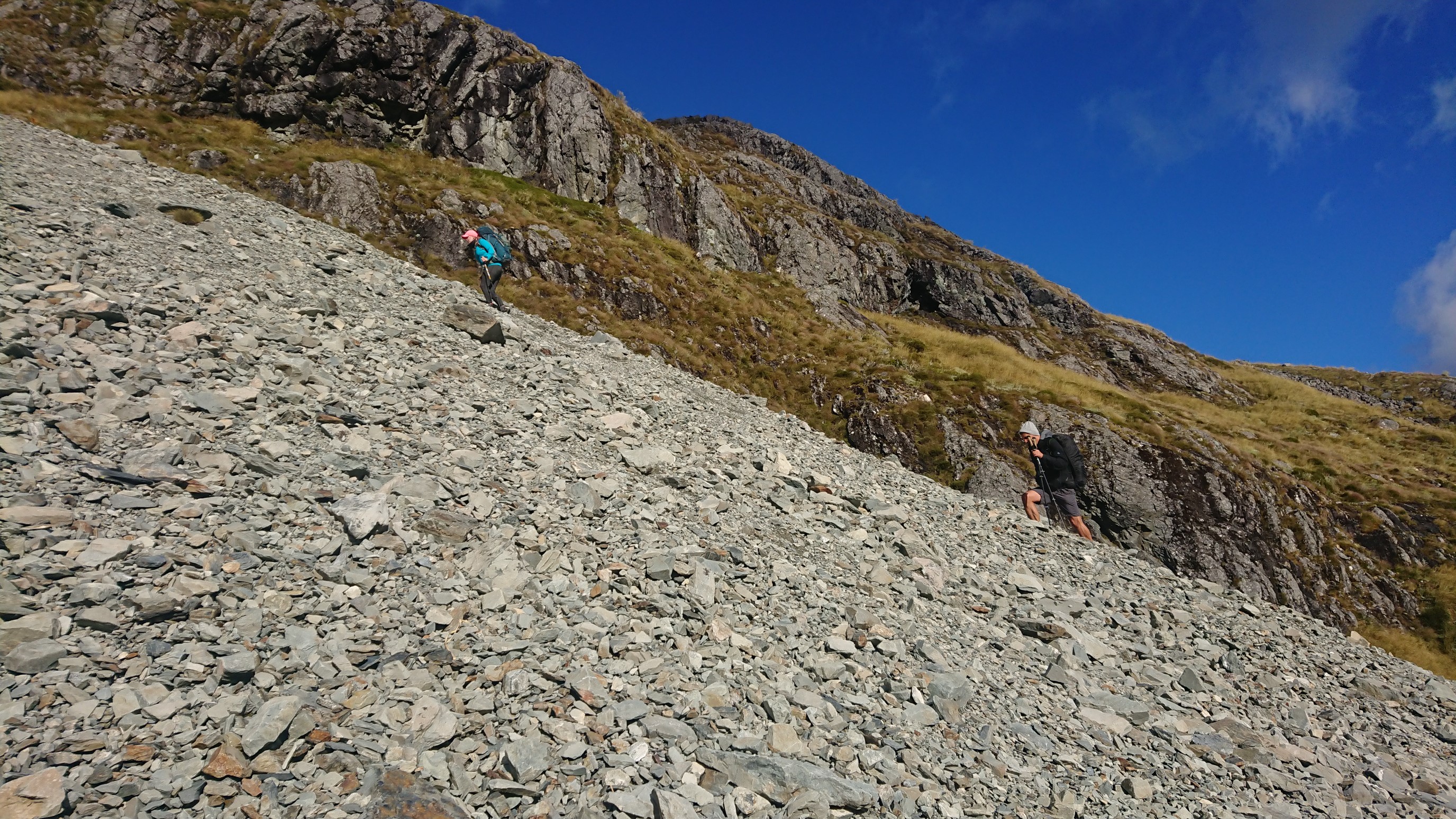
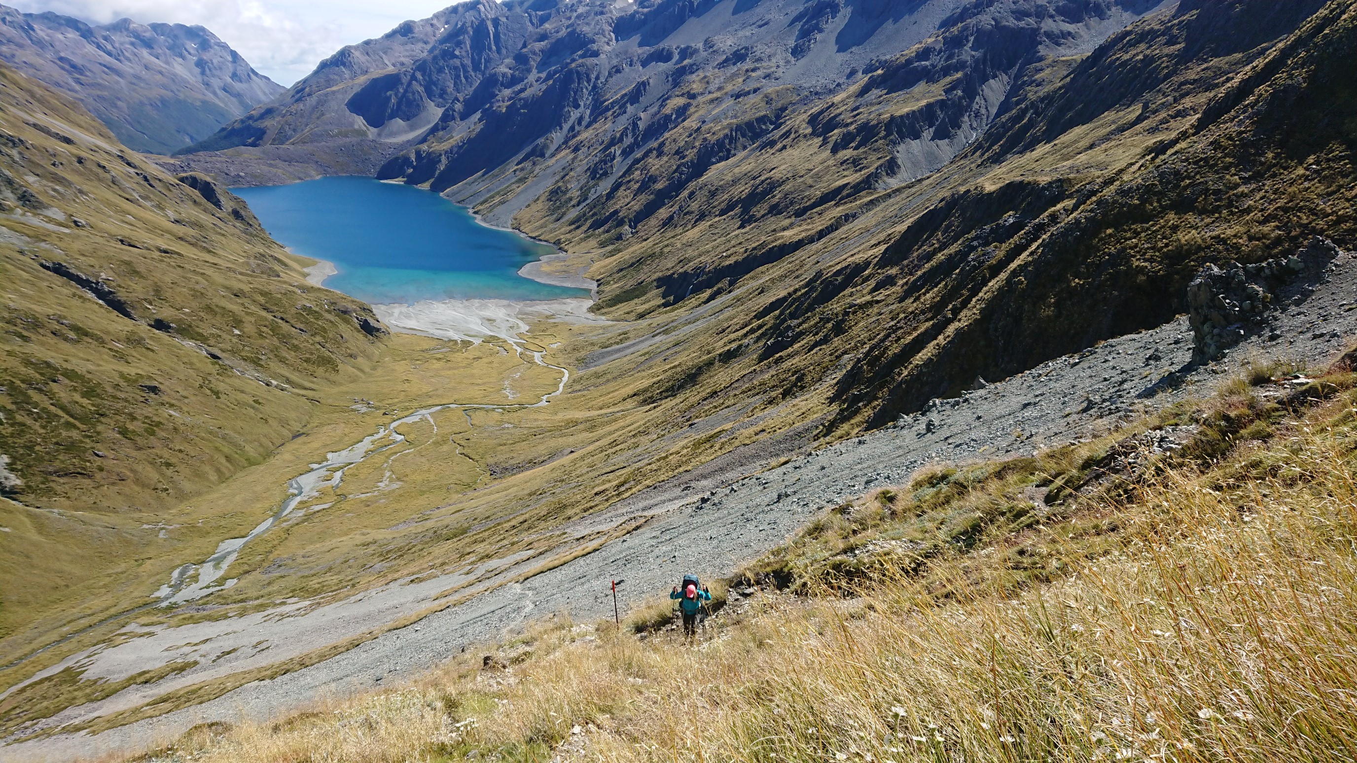
It is a long, slow 500m climb up to Waiau Pass. Lake Constance gradually becomes smaller below us.
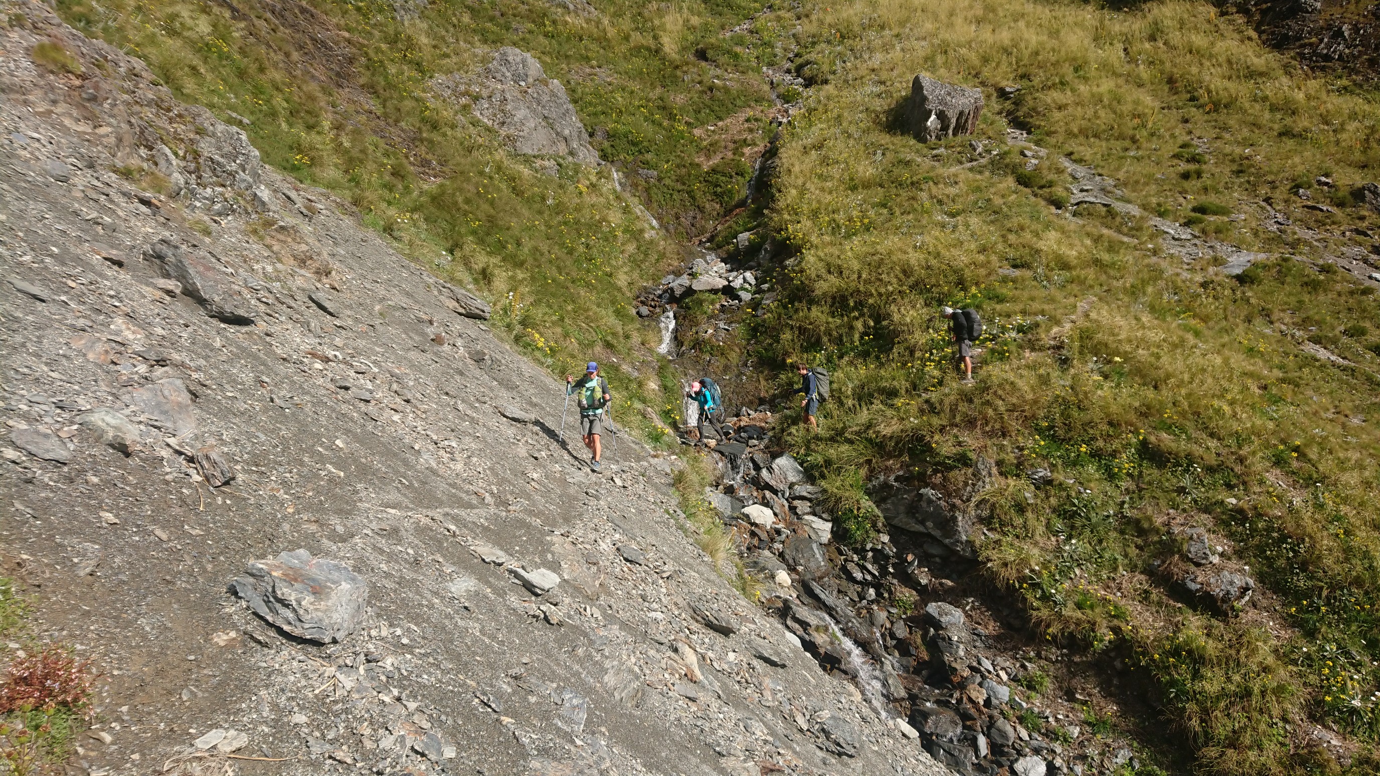
Our group keeps pushing uphill to the pass.
Looking back at the Czech girl coming up:
We get to the top of Waiau Pass (el. 1870m) at 11:30am and take some quick photos, before beginning the descent. The initial descent is slow and steep.
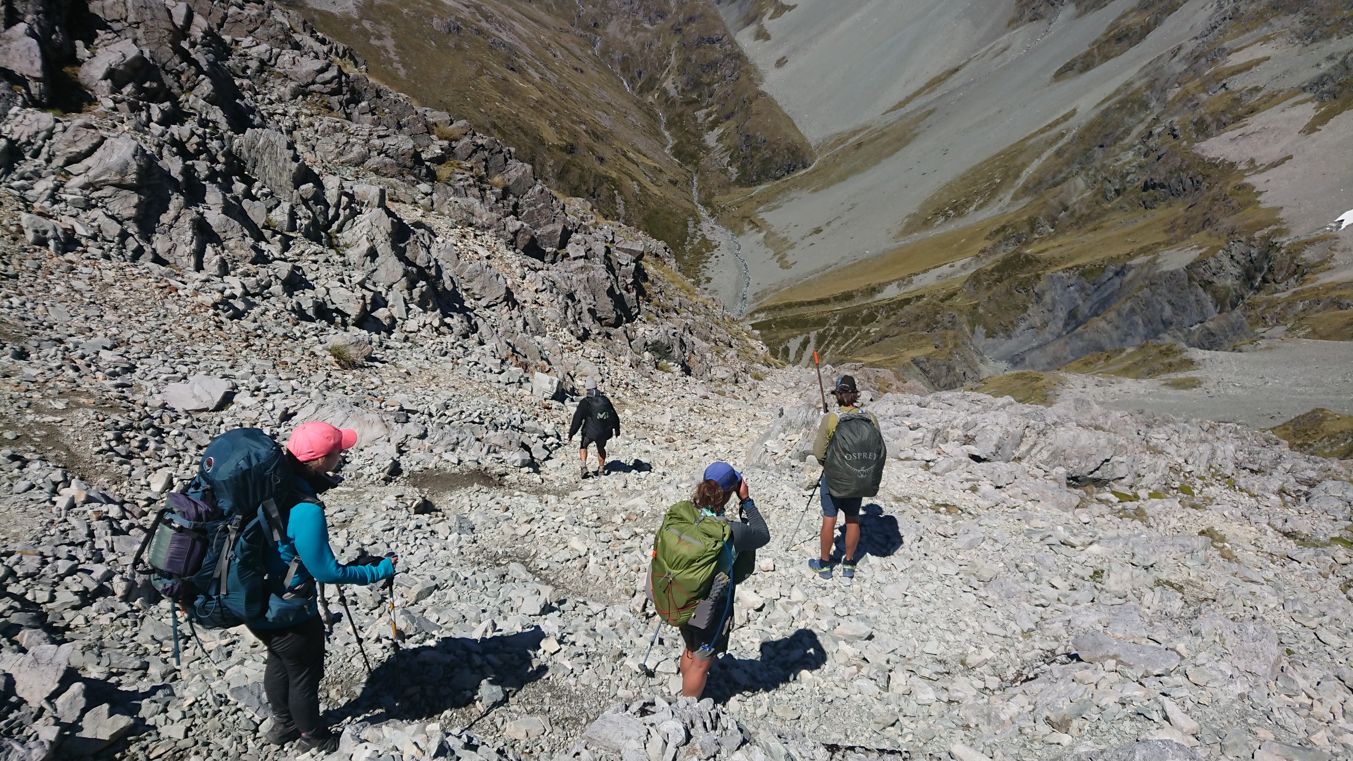
There is even some down-climbing on 4th class rock.
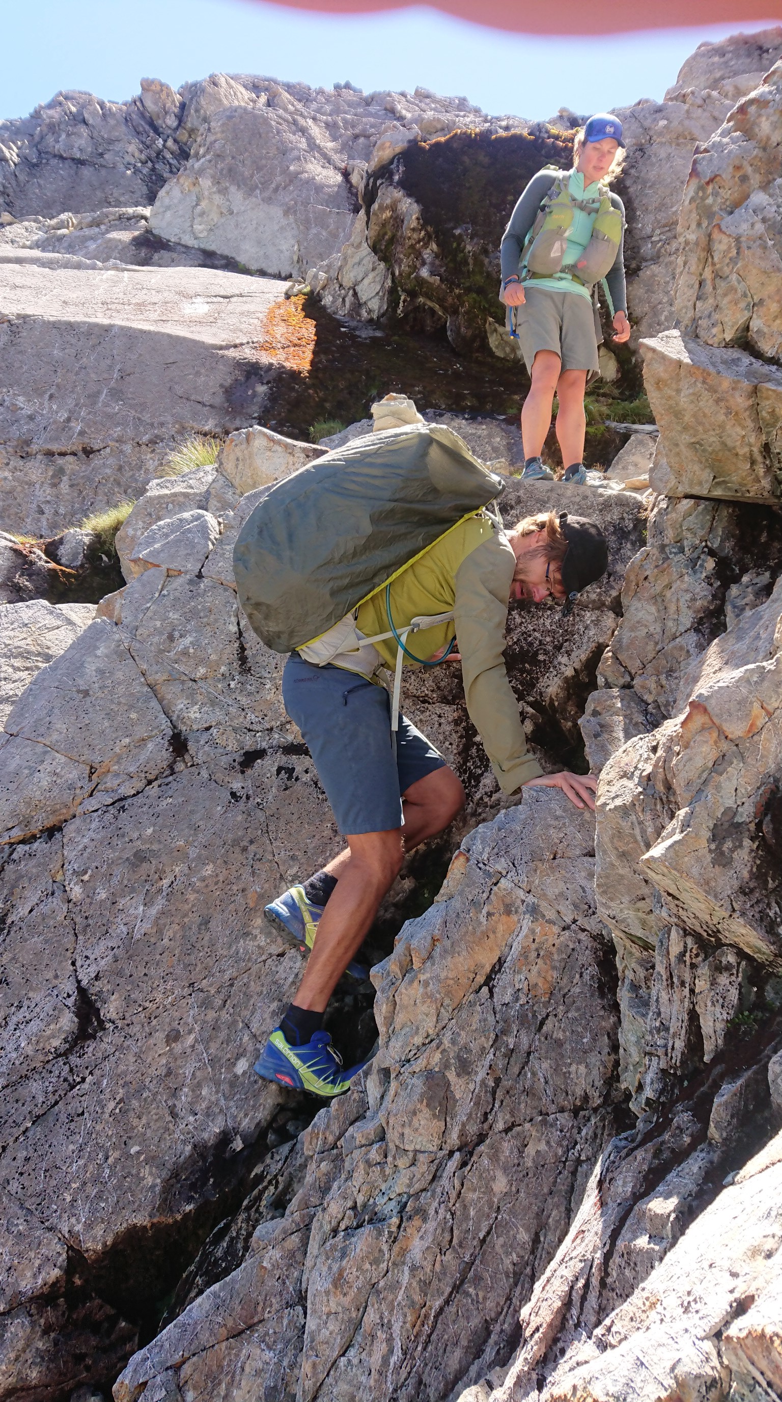
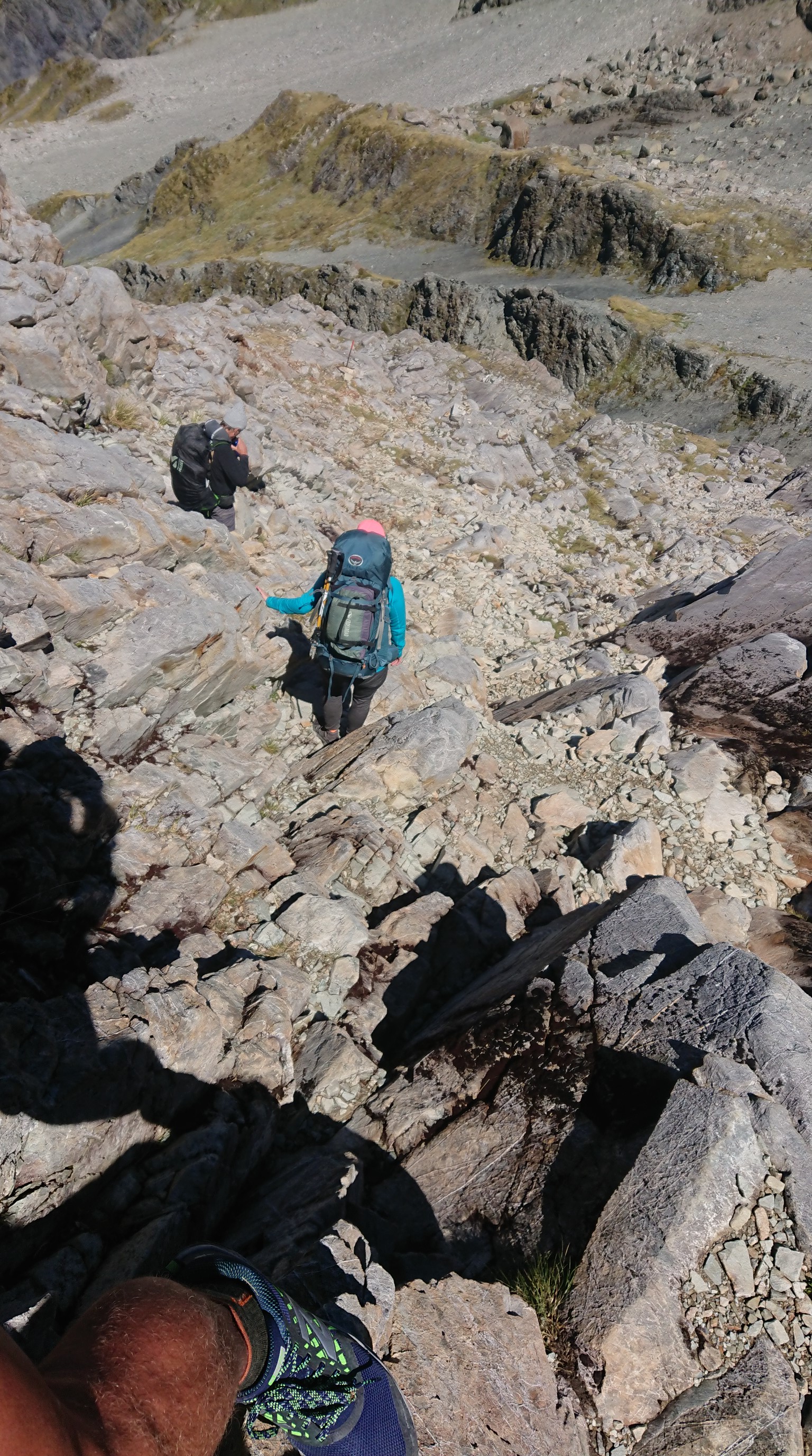
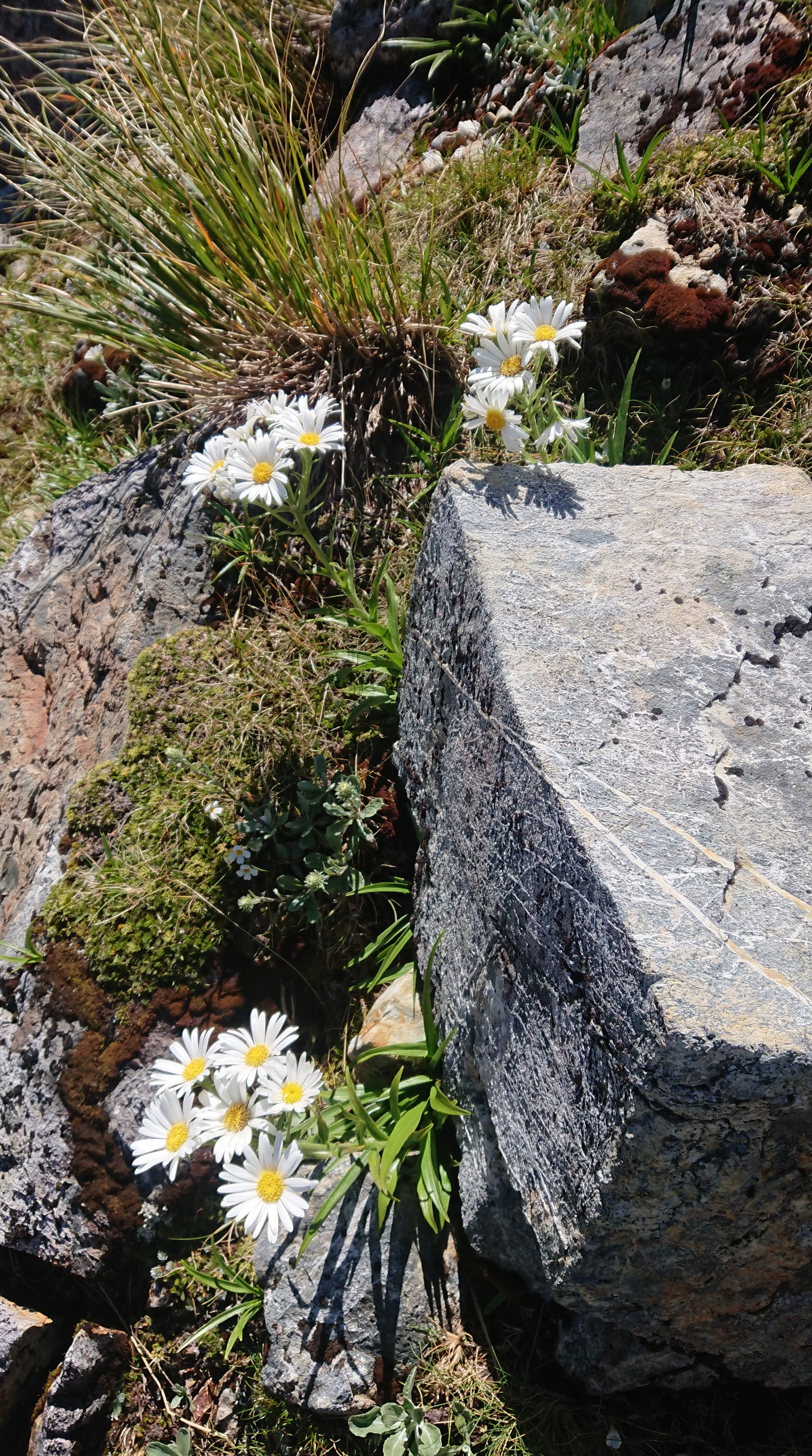
As we descend, the landscape becomes greener.
We get down to the Waiau River, and it’s warm again!
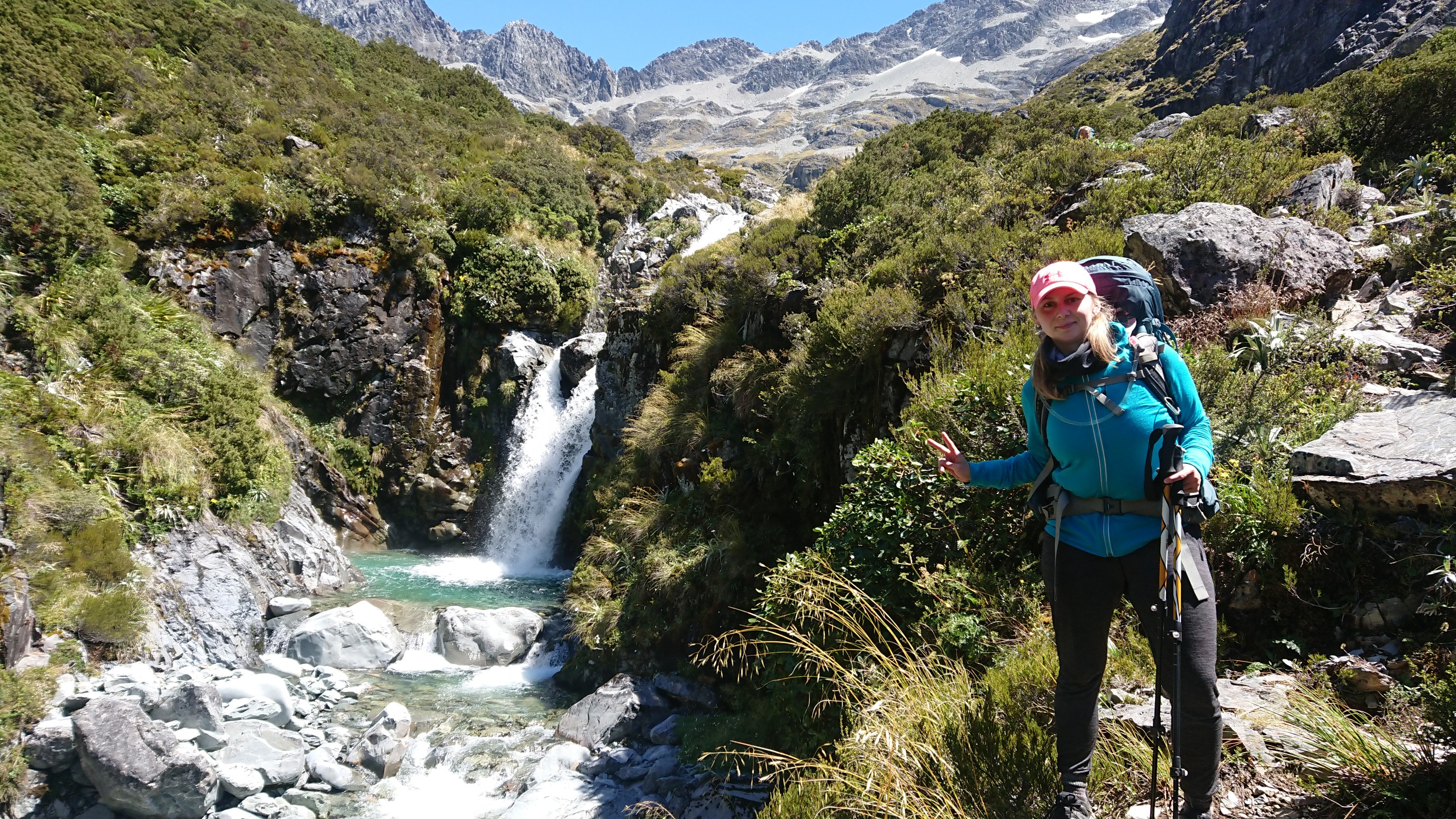
We all hike at our own paces, and slowly drift apart.
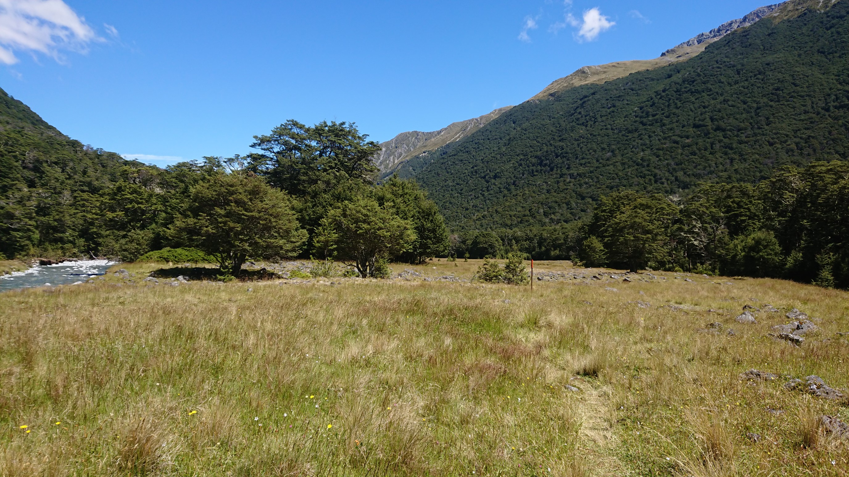
I meet a family from Maine (Mount Desert Island) doing the TA Southbound. I continue down the hill, passing the Caroline Creek Bivy cabin just after 3pm, and arriving to Waiau Hut at 4pm.
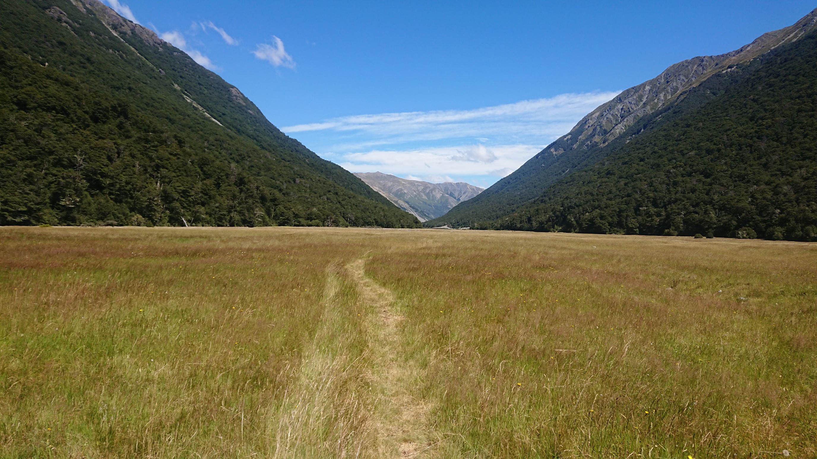
There is already a NOBO German girl at the hut, so when the other 5 hikers arrive an hour later, we have 7 people in a 6-person hut. Someone’s sleeping on the floor! We cook dinner outside, since there isn’t much room inside. I go to bed at 9:30pm.
Day 78: Monday January 21st, 16.2mi/26.0km
Waiau Hut (1996.2/861m) to Anne Hut (2022.2/891m)
I wake up at 7am, and it’s raining and very windy outside. I’m not excited to go outside and get wet for 26km. We all slowly pack up, and I leave at 8:10am, with the Dutch couple shortly behind me. It’s very windy, but not really raining anymore, just a light mist.
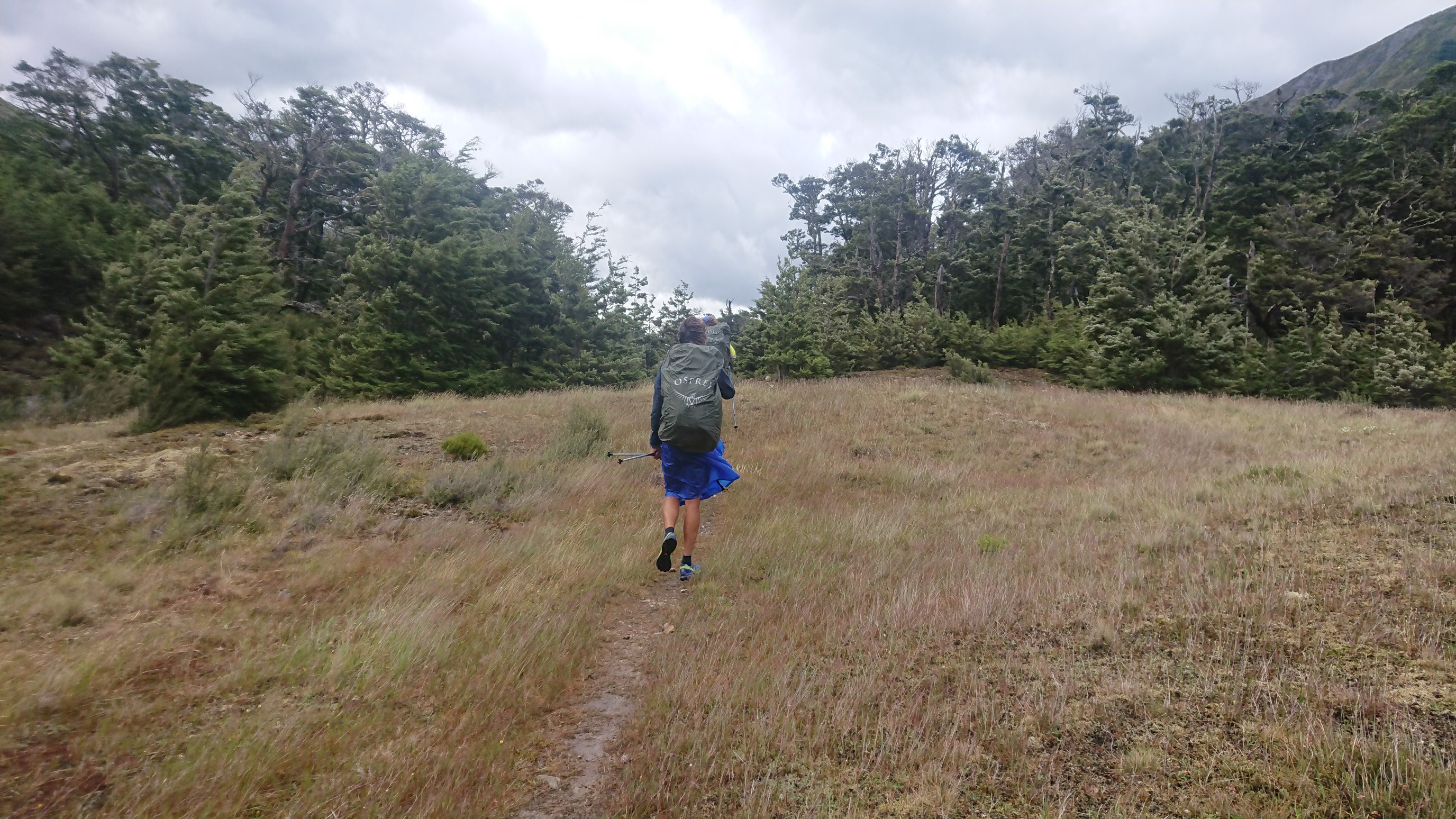
I get stuck at a river crossing, and they catch up. The three of us walk together all morning, chatting about various hiker stuff. Eventually, the trail becomes a nice jeep road.
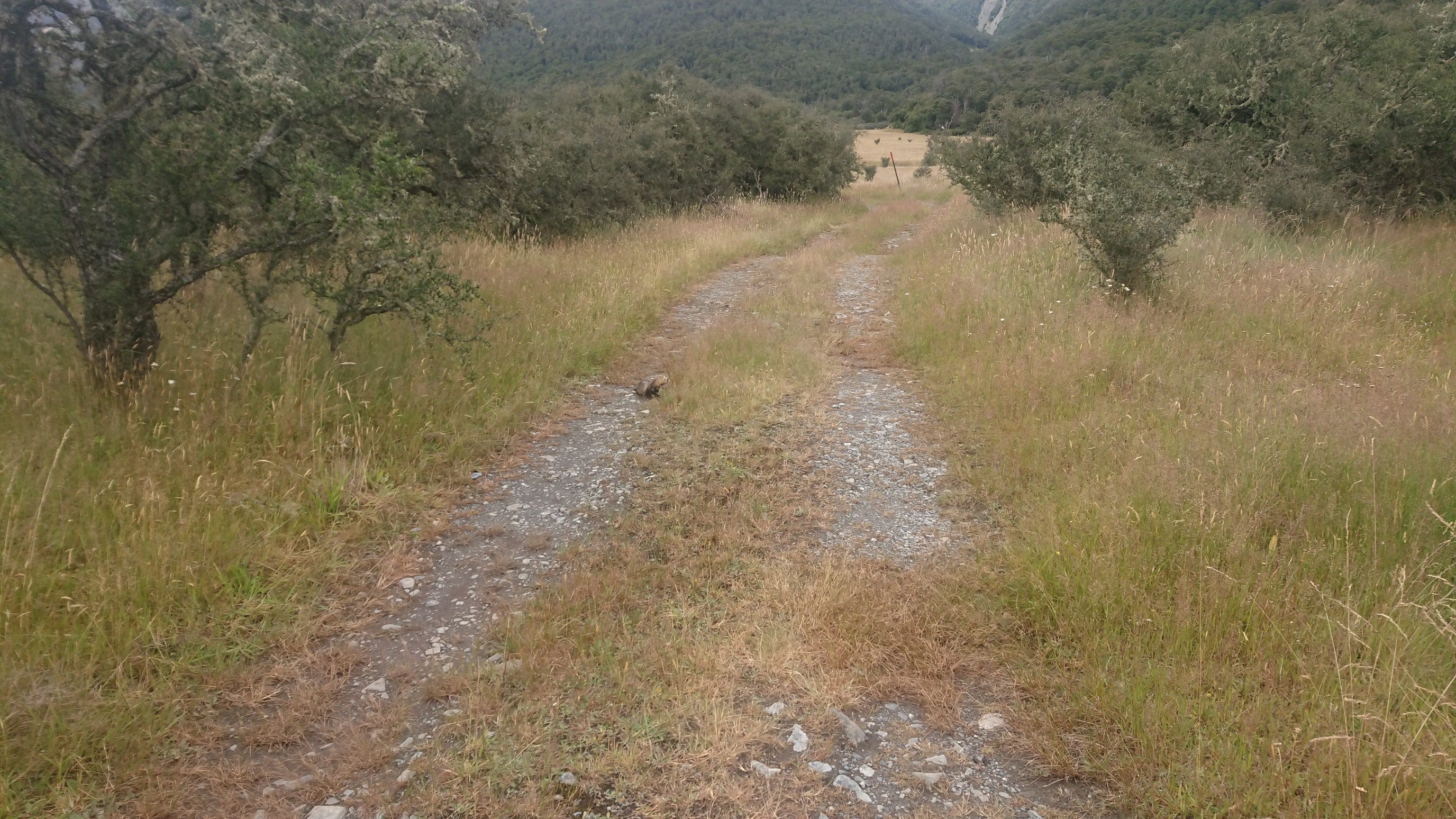
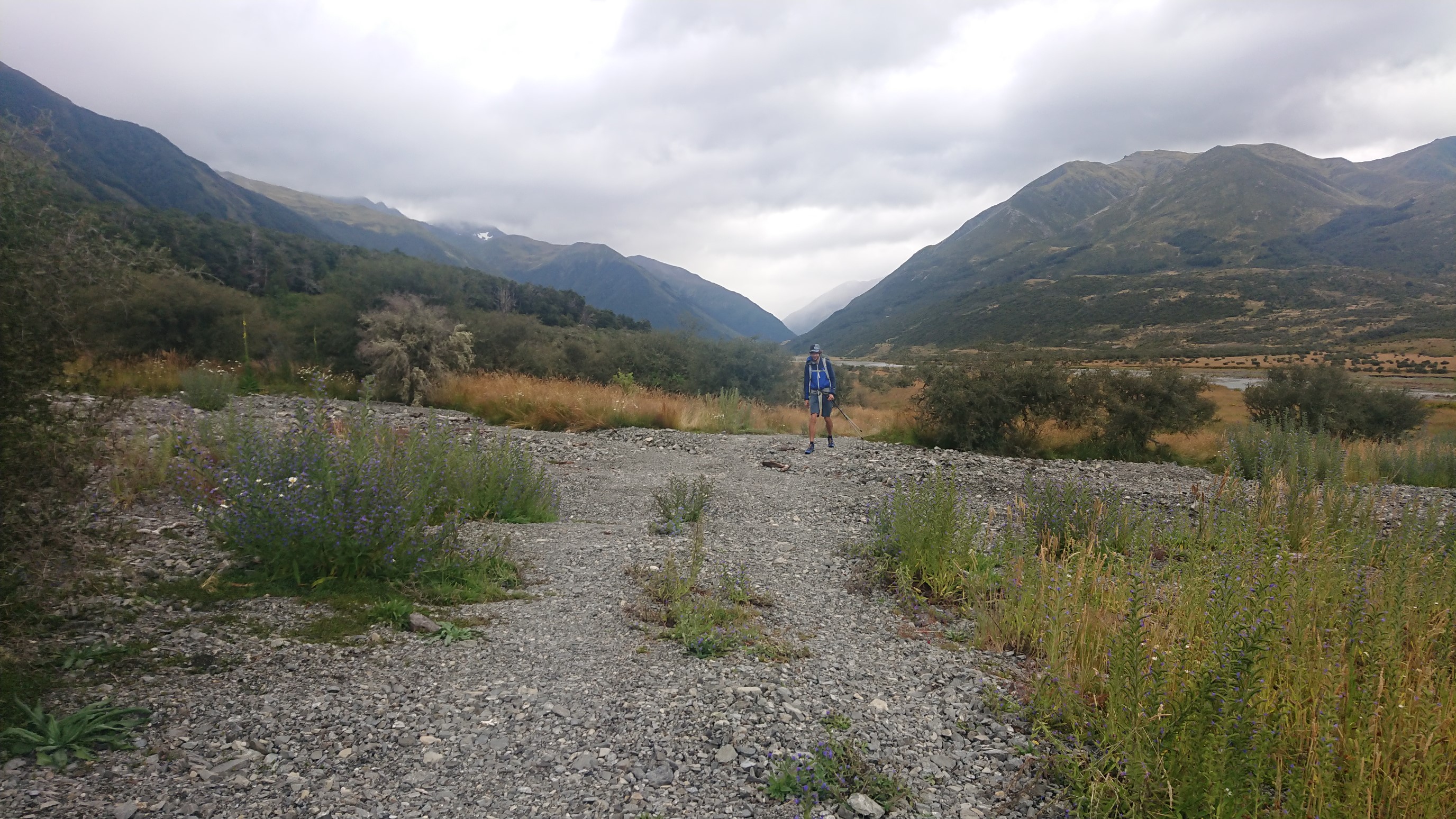

We take a break a few hours later for lunch, at a stream crossing. Sergio (France) catches up to us and joins the break. It’s cold and windy (but no longer wet), so we pack up after only 30 minutes and resume hiking. The three of us cut over to the St. James Track, which is supposed to be nicer, but turns out to be the same.
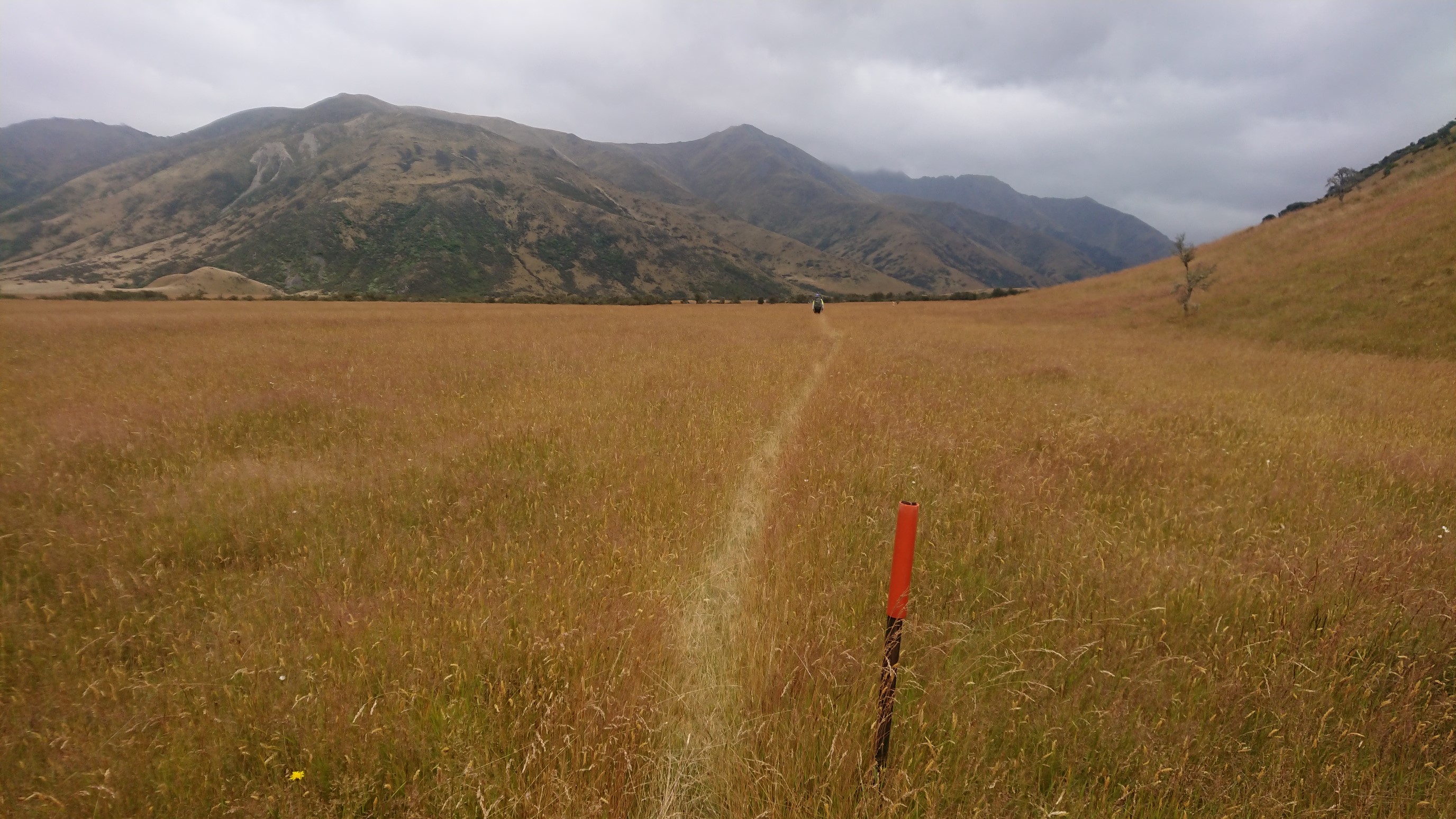
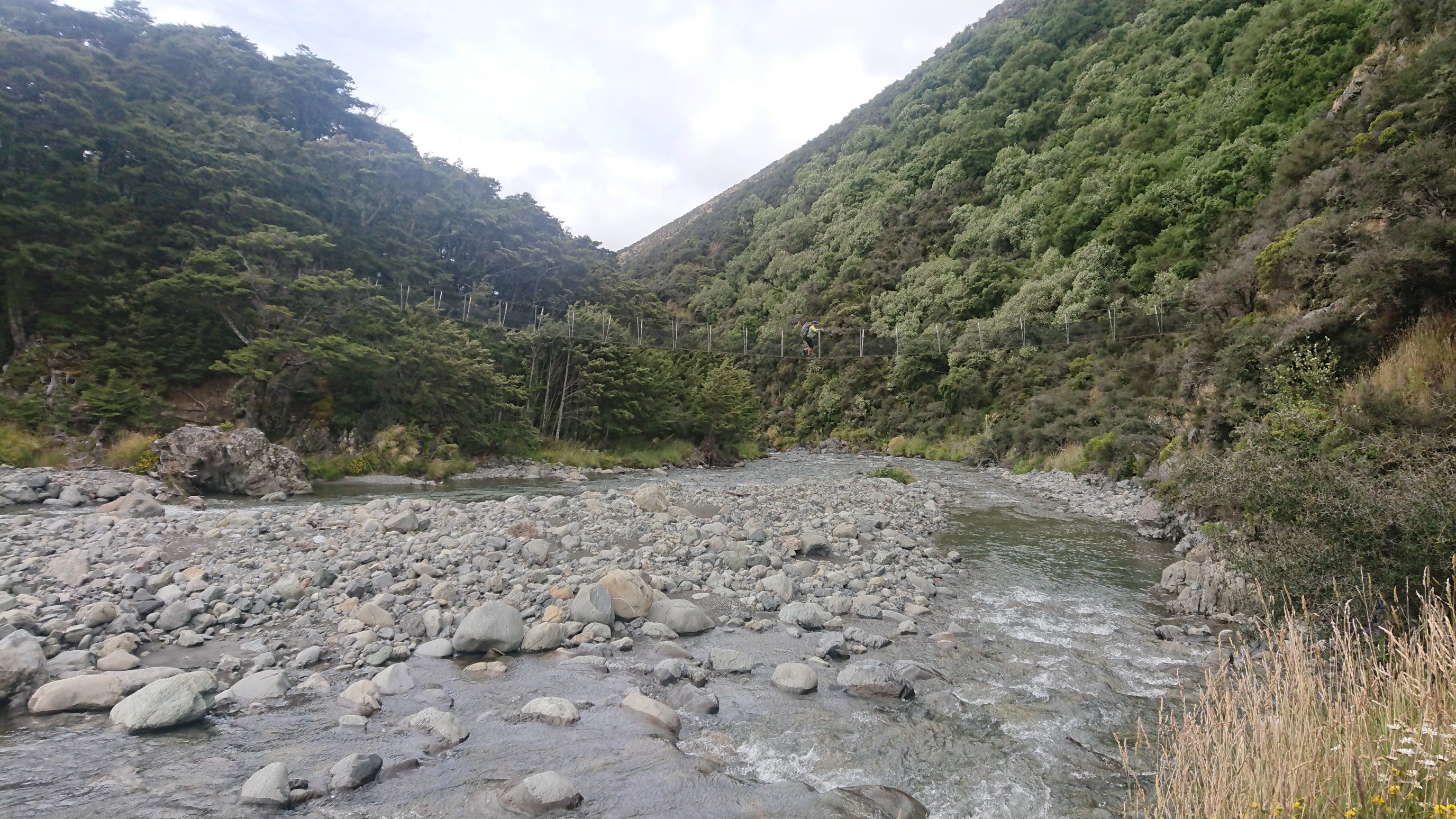
I walk alone for a couple hours, daydreaming. About 2km before the hut, I cross a cool swingbridge over the Anne (Henry?) River.
I arrive to Anne Hut pretty early, it’s only 2:15pm. The Dutch couple and Sergio arrive a few minutes later.
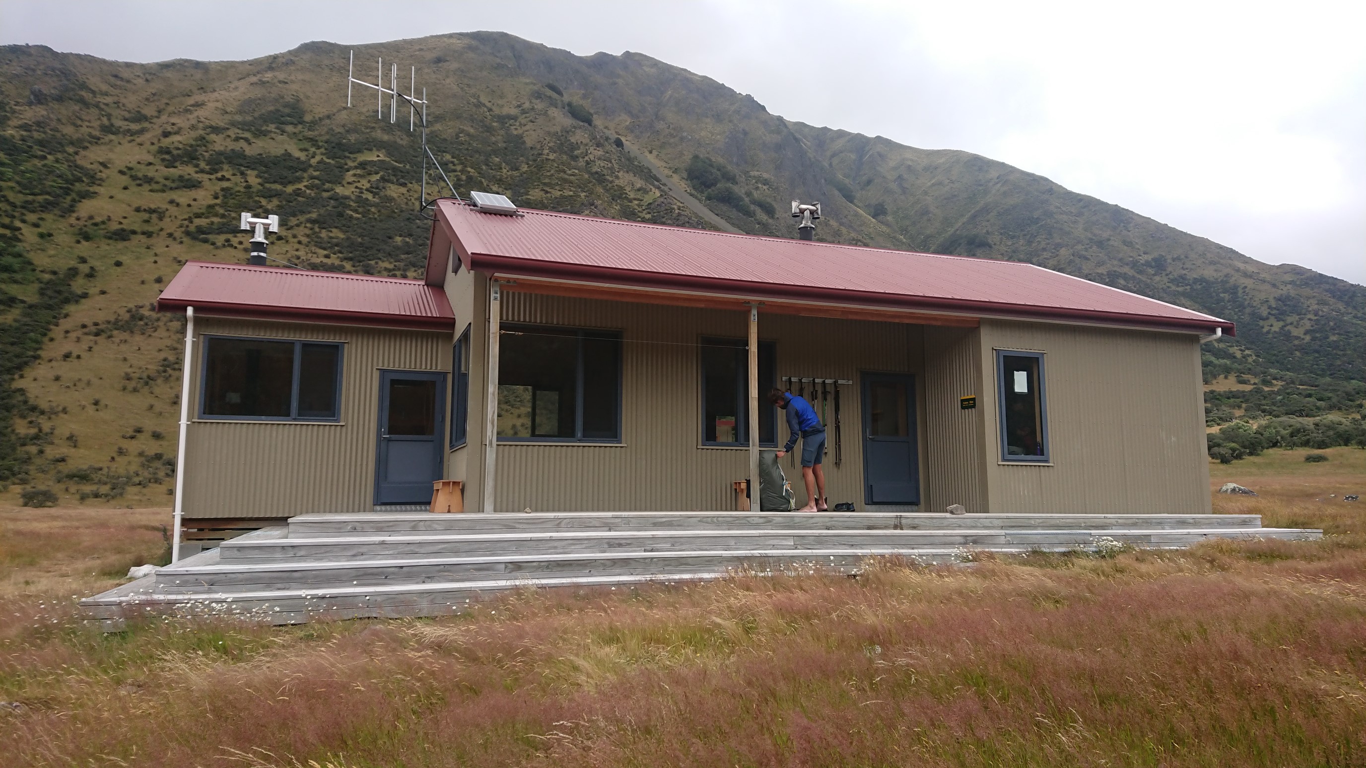
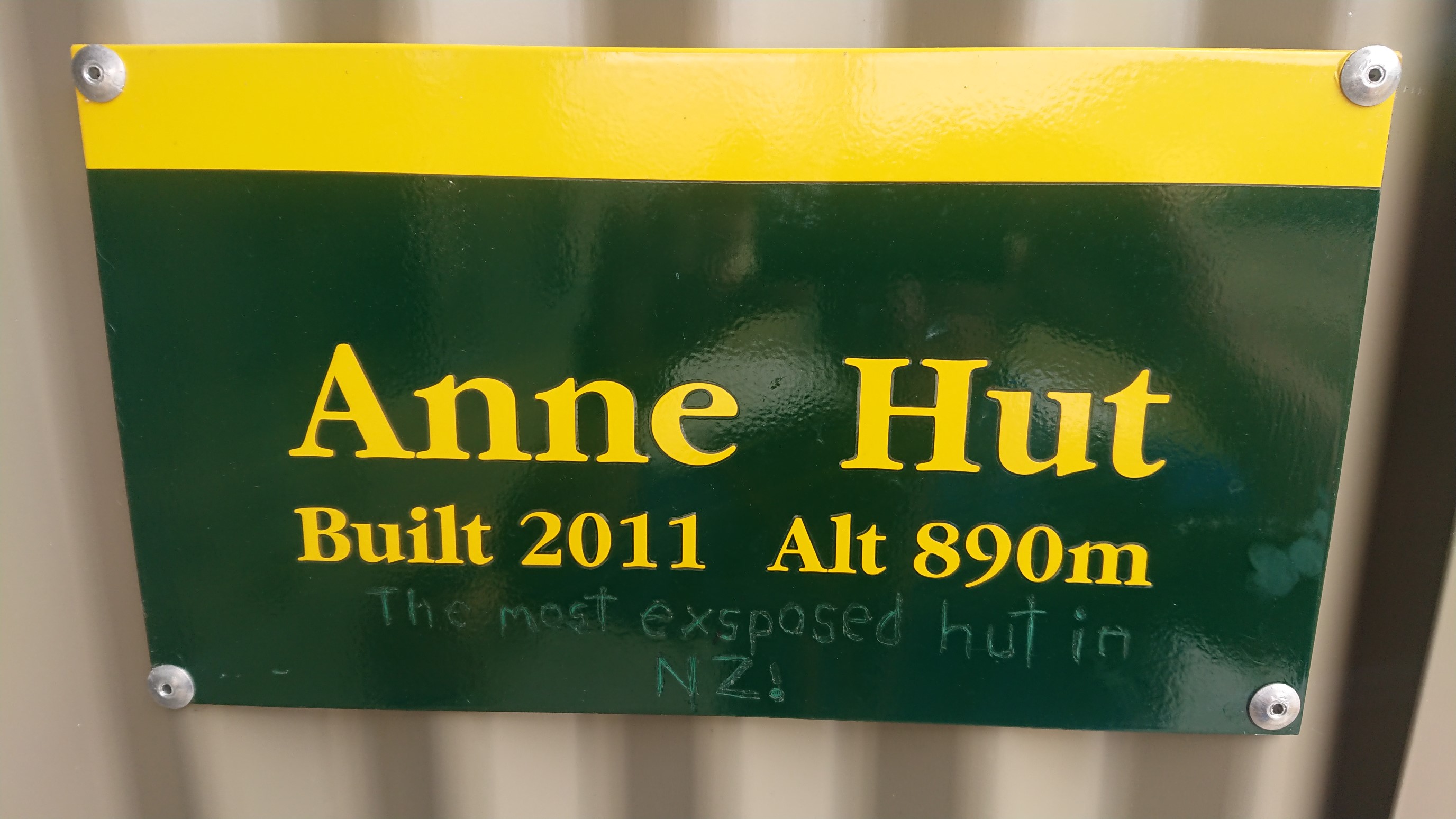
There are several other groups already at the hut, and by dinnertime there are over a dozen hikers milling around the kitchen area. I get to know some of the new faces, and then head to bed at 9:30pm.
Day 79: Tuesday January 22nd, 17.7mi/28.5km
Anne Hut (2022.2/891m) to Boyle River Outdoor Centre (2050.7/581m)
I’m awake early, hearing everyone else packing up at 5:45am. So, I get up at 6:15 and start hiking at 6:30am. Sergio starts with me, and stays behind me for an hour, which is kind of creepy. I lose him after awhile, and even though I take a few wrong turns (the track is poorly marked) and lose time, I don’t see him again. I climb up to Anne Saddle, the highpoint for today. It’s only 1136 meters, feels easy!
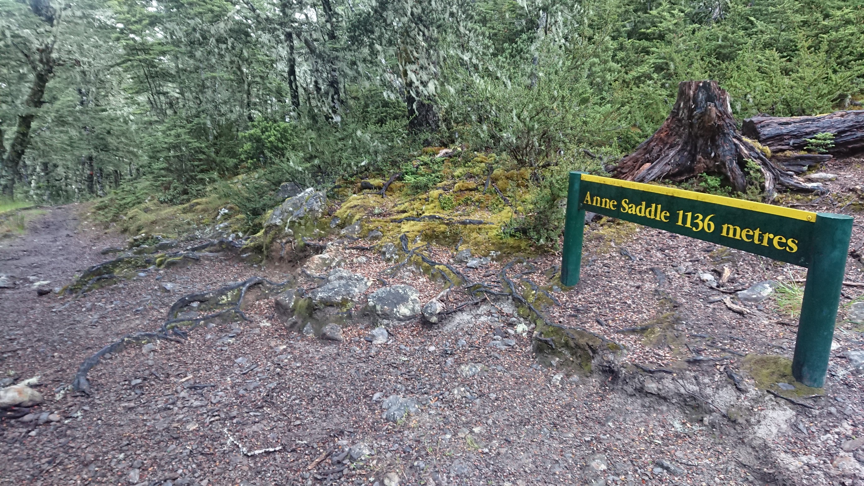
I descend from the saddle on a nicely graded trail, and follow the Boyle River downstream.
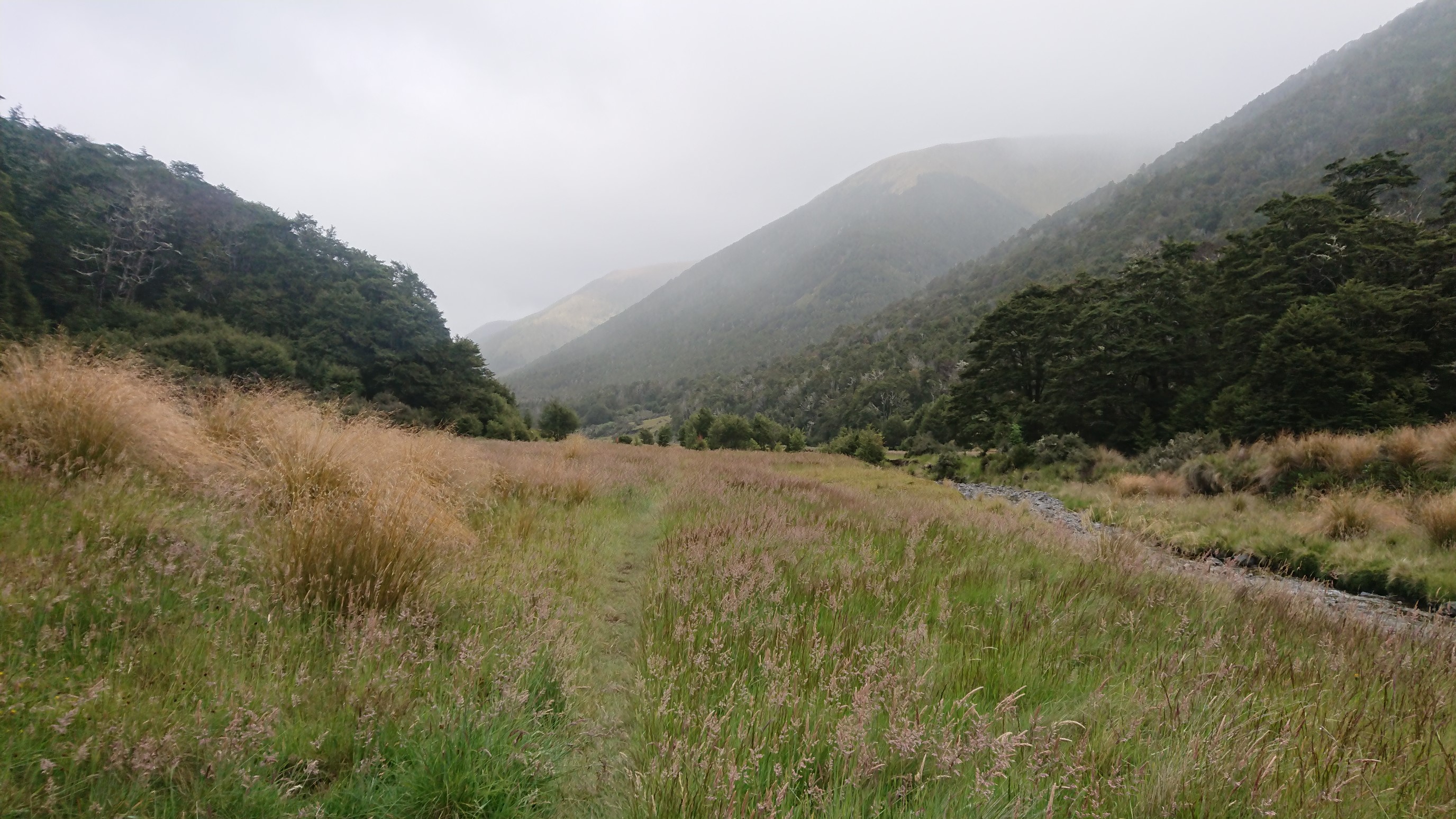
The trail alternates between open meadows and dense forest.
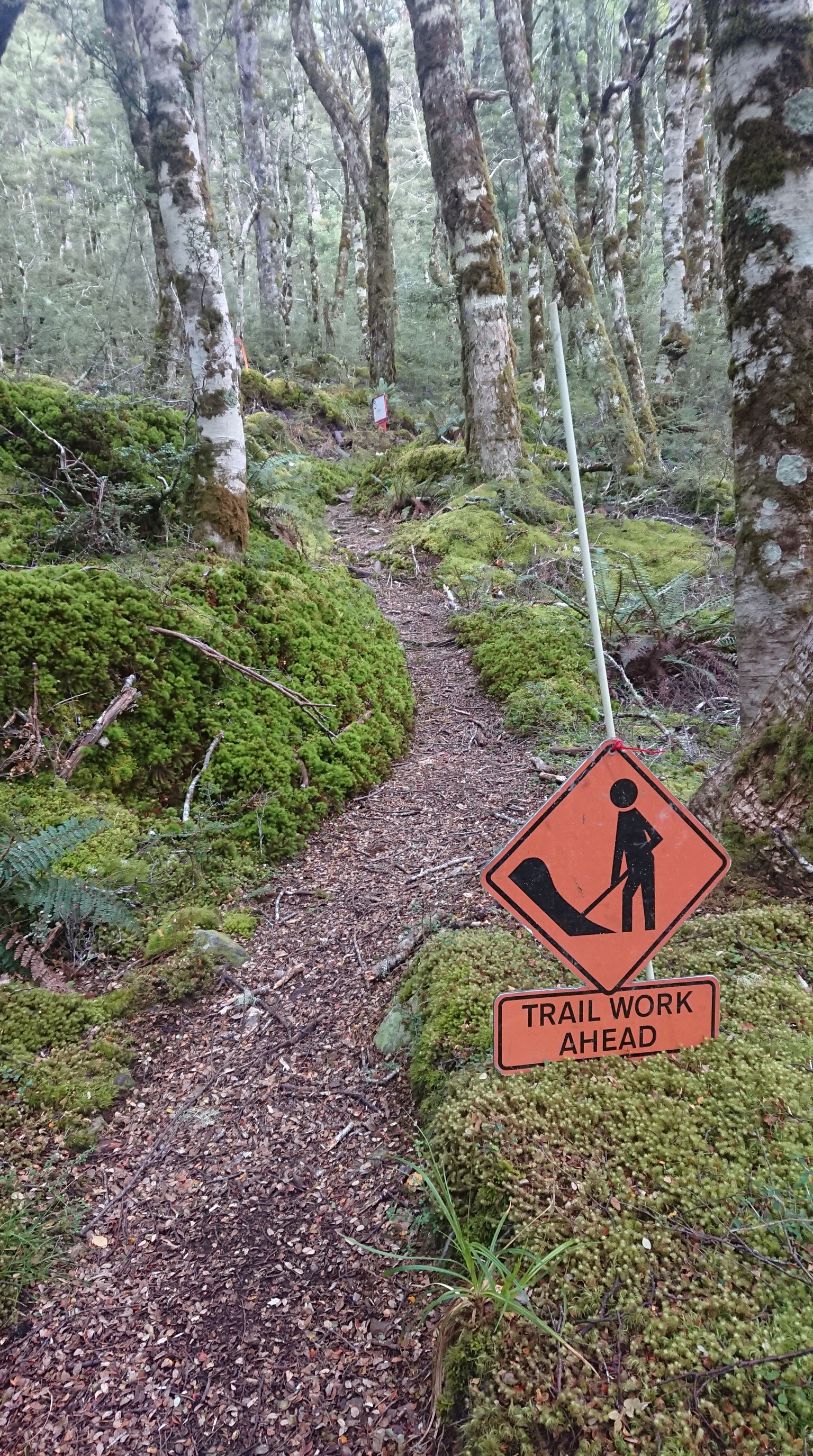
I turn off the trail, and cross a swingbridge, to take a break at Boyle Flat Hut. It’s 10:30am, past my usual snacktime! But it’s a quick break because of all the sandflies…inside the hut!
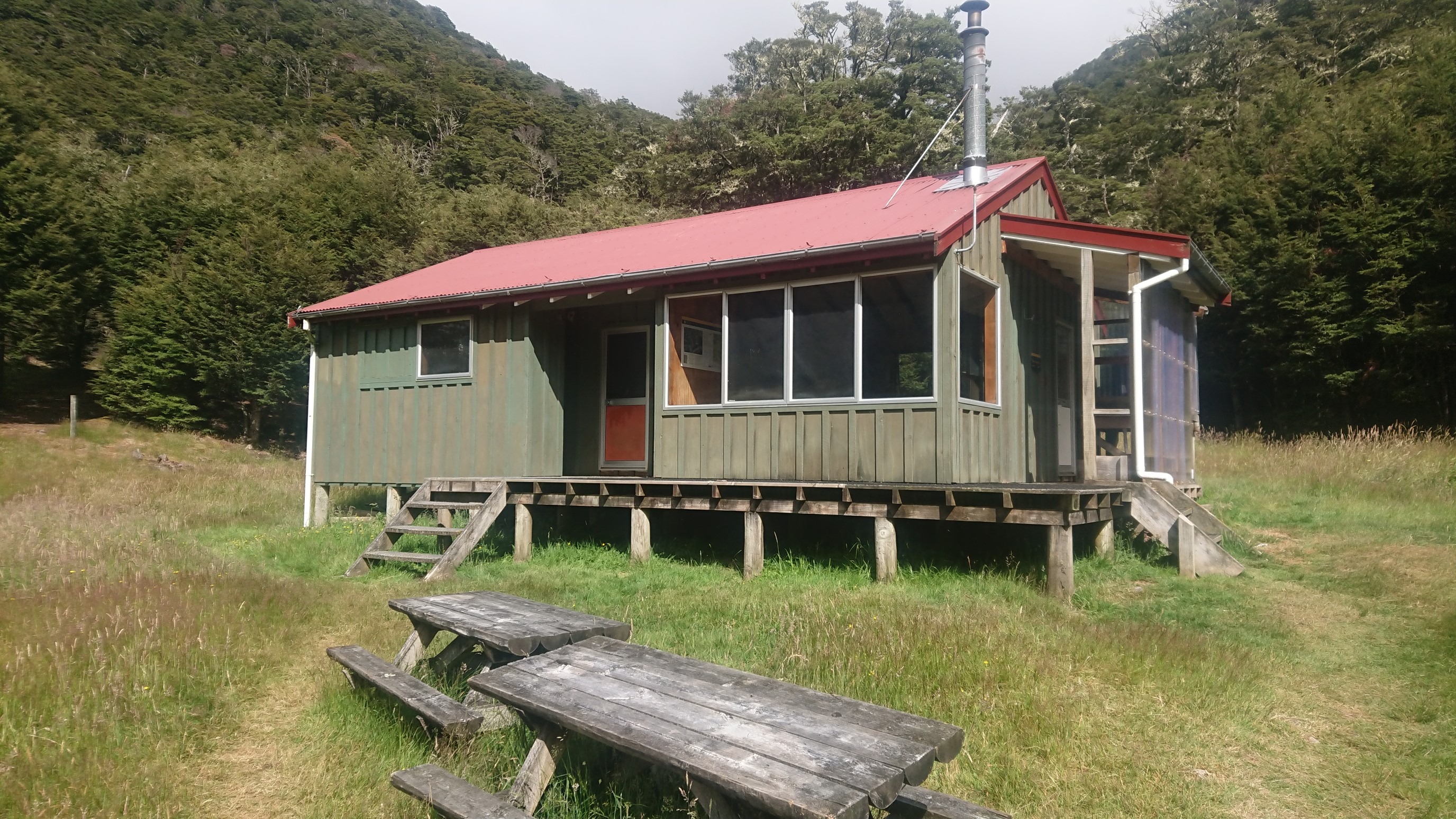
I continue onward to Boyle Village, and it’s an easy walk in nice weather.
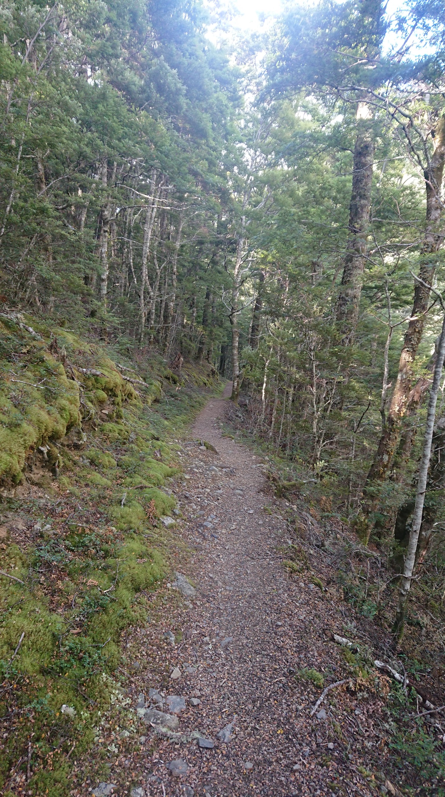
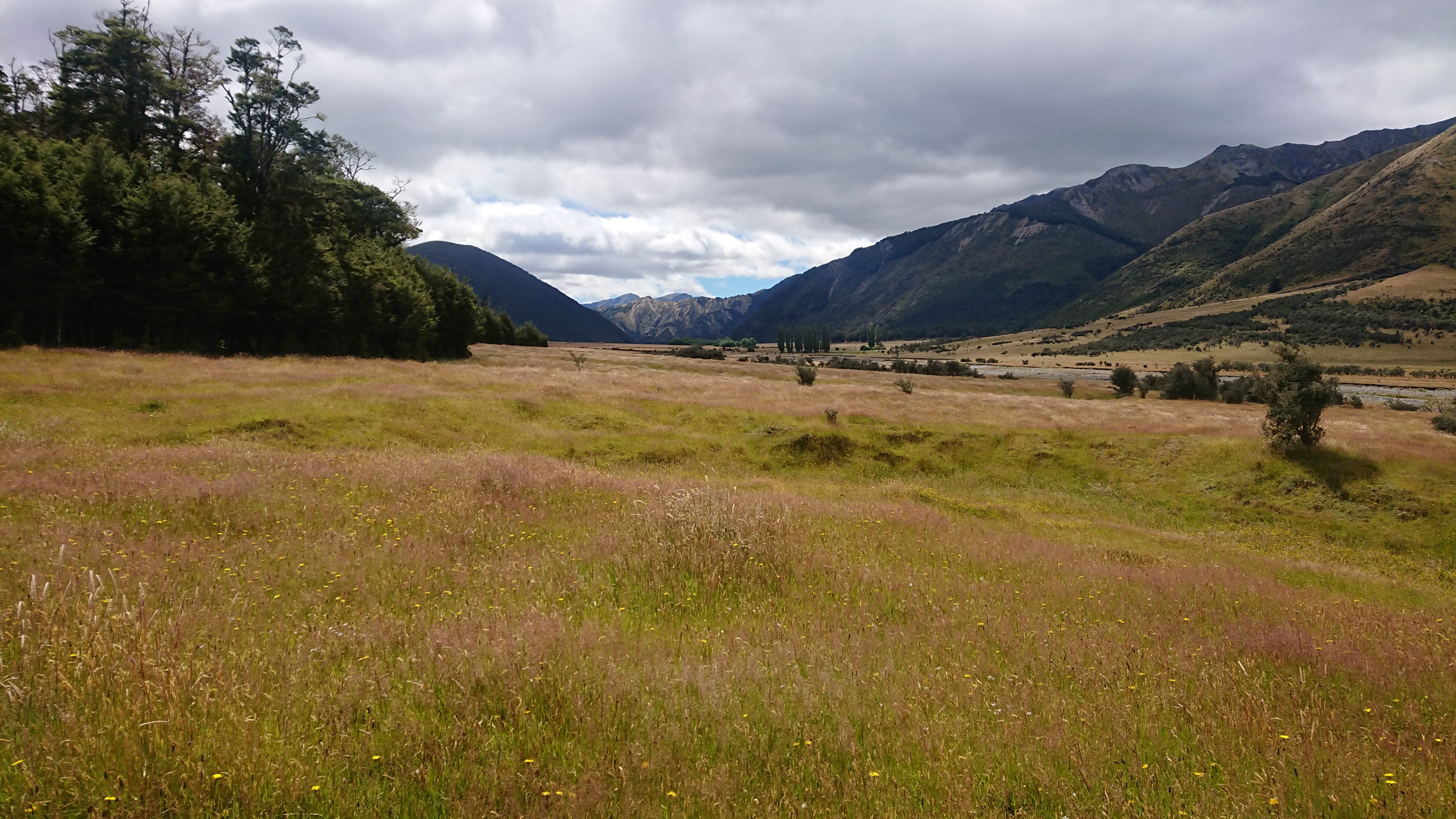
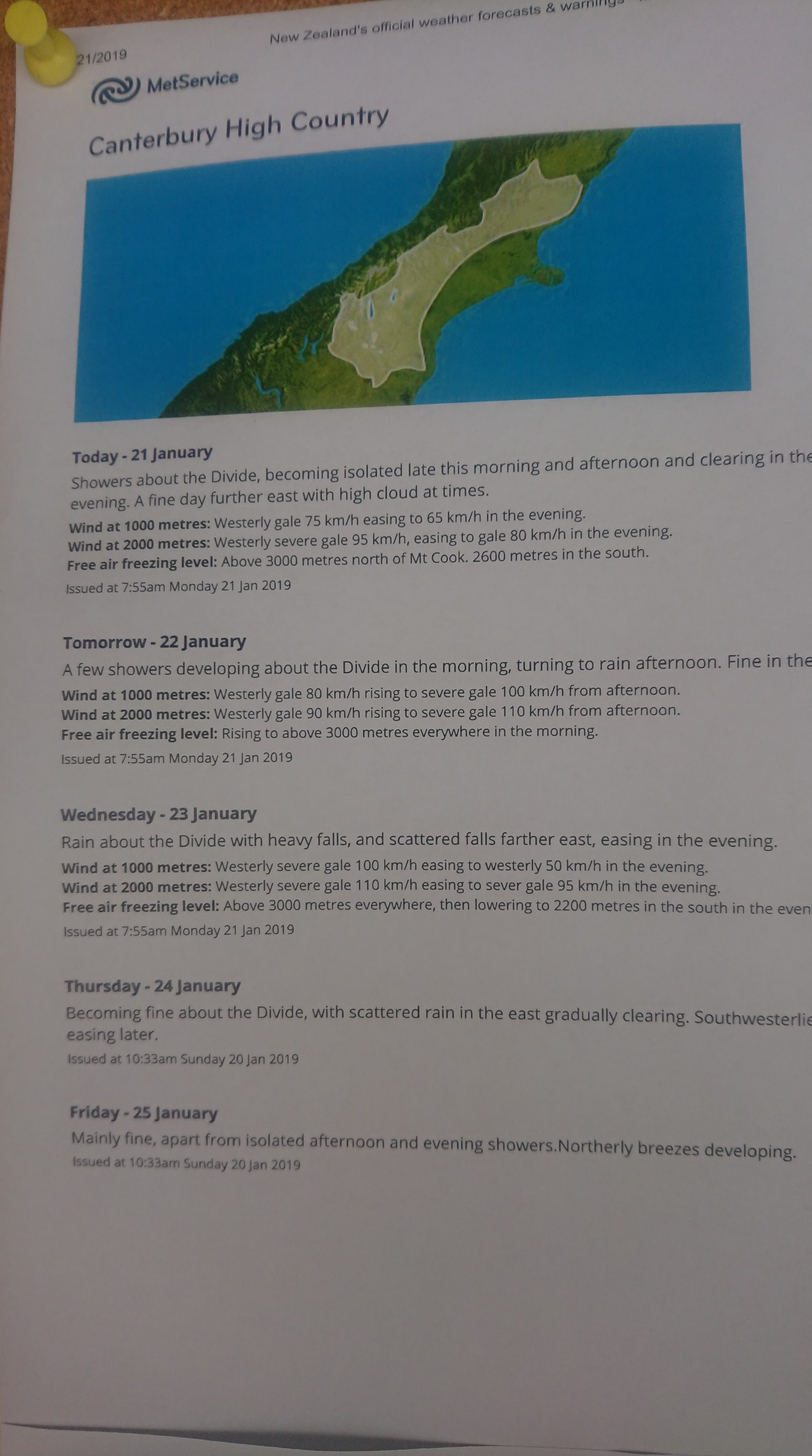
I arrive at 1:15pm to the Boyle River Outdoor Education Centre, which is a popular spot for TA hikers to mail resupply boxes and spend the night. I do both, and pickup my food box, and claim a bunk. I shower and do laundry, and then Sergio shows up. Then the Czech girl and a Kiwi couple arrive. We chat at dinner, and watch the rain blow in the wind. The forecast doesn’t look much better for the next few days, either.
The Kiwi hikers have extra (meat) pies, so they give us some! So delicious. I walk to the road to get a phone signal, and then head to bed at 9:30pm.
Blue Lake “blue-tiful”!