Day 83: Saturday January 26th, 13.3mi/21.4km
The Sanctuary Arthur’s Pass, via Morrison Footbridge (2163.1/751m) to Lagoon Saddle Hut (2178.8/1147m) + 5.7km road
I wake up later at 7am, knowing that the DOC office doesn’t open until 8am, where I need to pick up my food box (that I mailed to myself from Wellington). I walk down there at 8:30 and retrieve it, and also buy an ice cream, soda pop, and cheese on the walk back. I have breakfast back at the Sanctuary cabin, and take a 2nd shower too, ha! I lounge around until noon, finally hiking out at 12:30pm. It’s about an hour of roadwalking before I re-join the official TA route, and I make some phone calls to family as I’m walking.
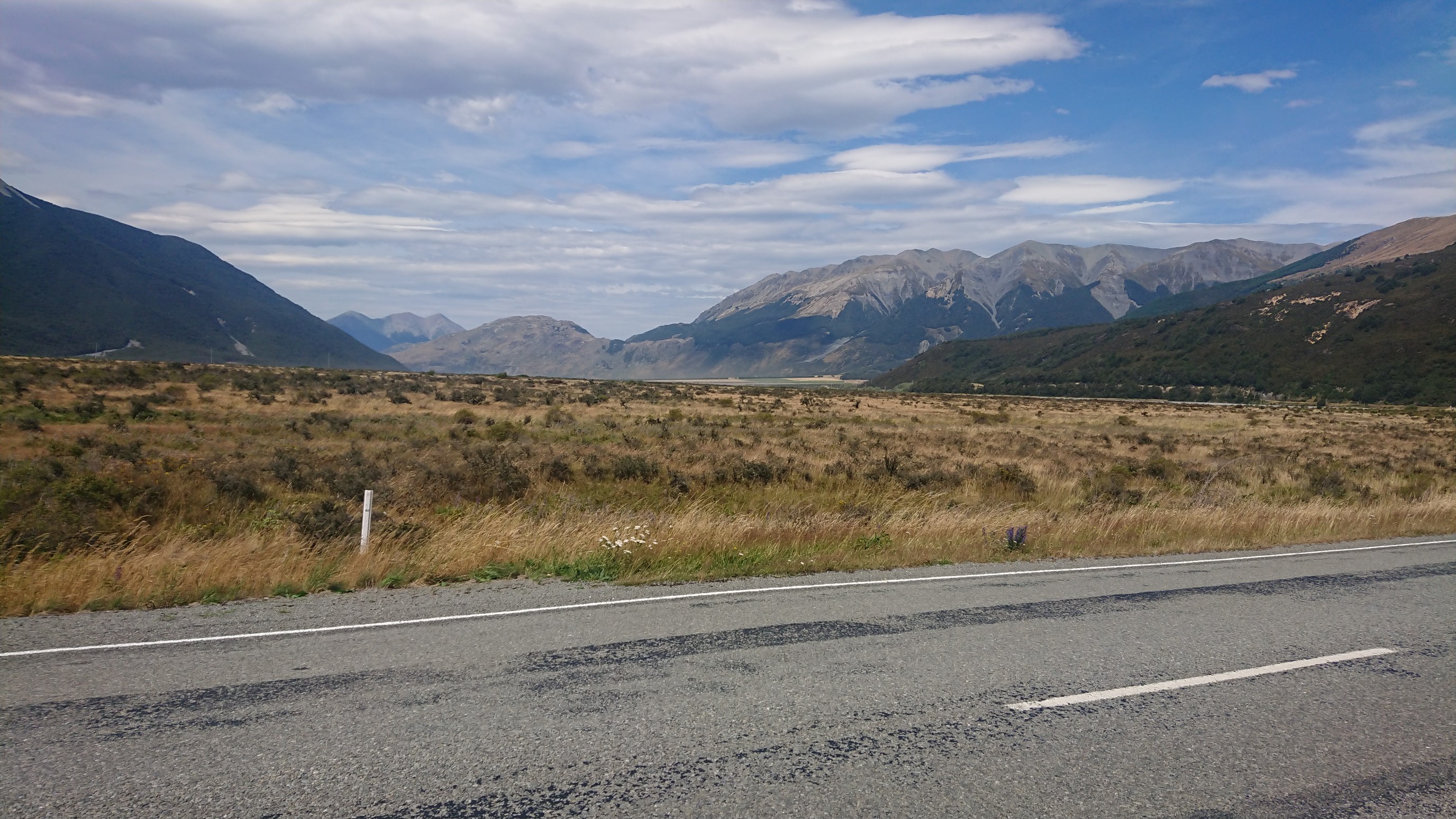
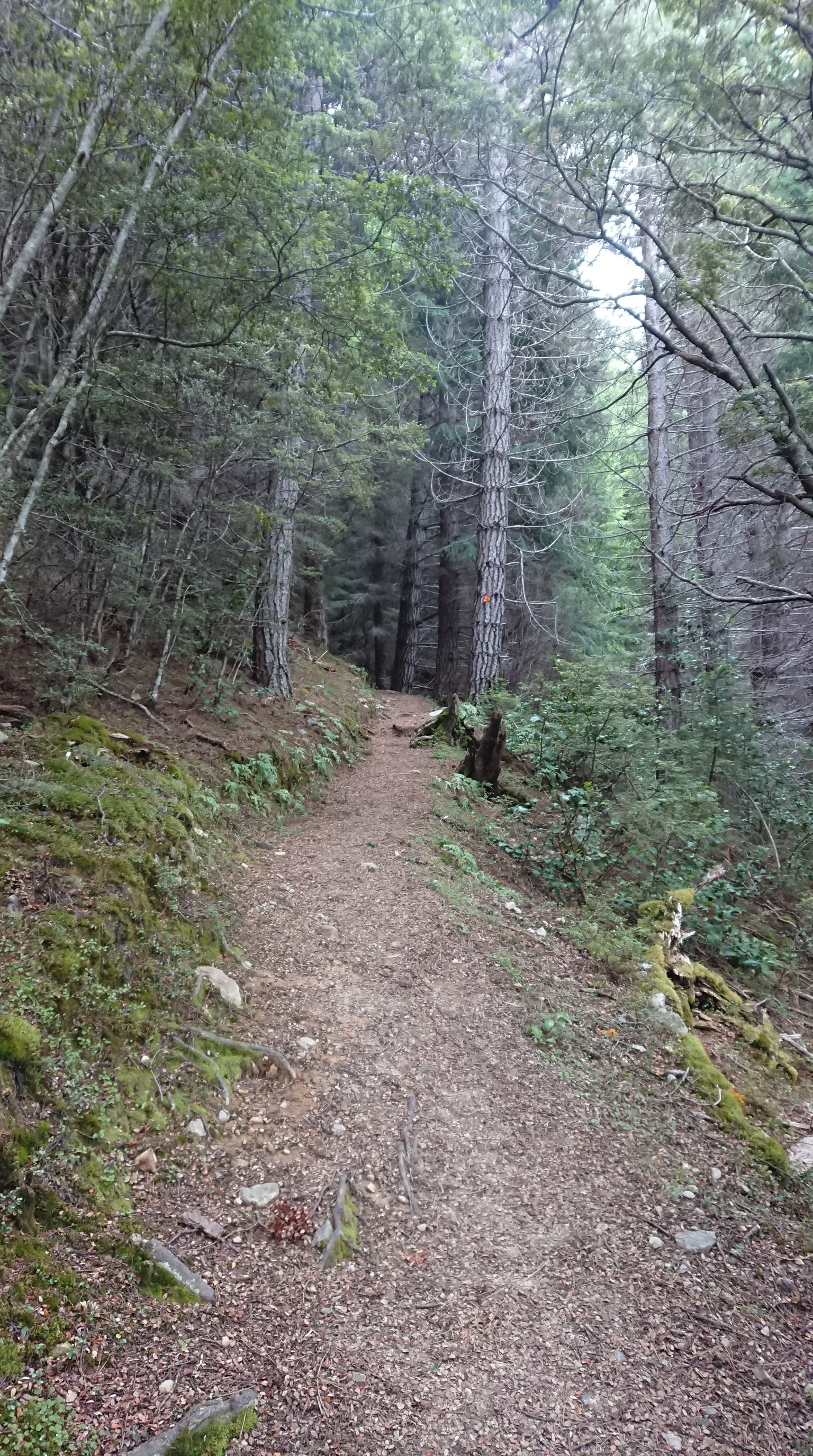
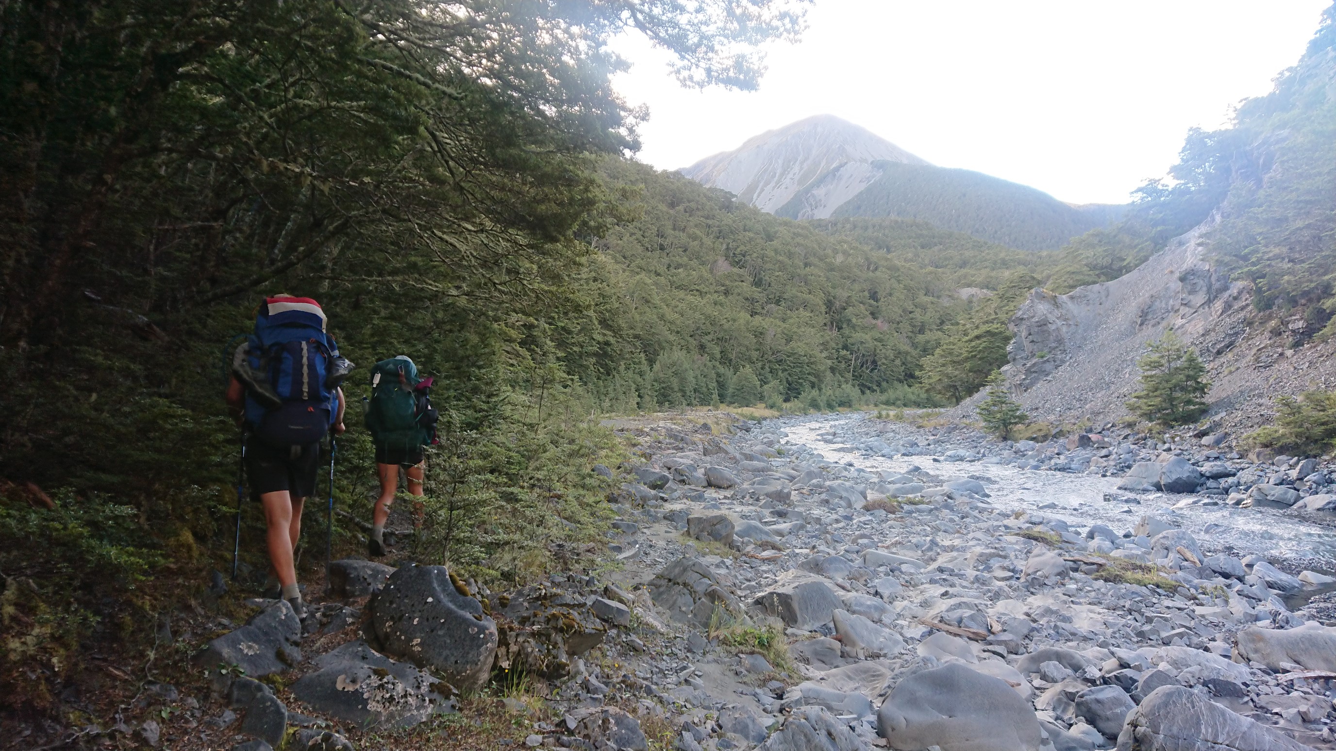
The official TA route is another 9km of roadwalking, and I finally reach the start of the hiking trail at 4:30pm. I step onto the trail, and the soft dirt feels nice under my shoes, and it’s a nice switchbacked trail up thru a pine forest.
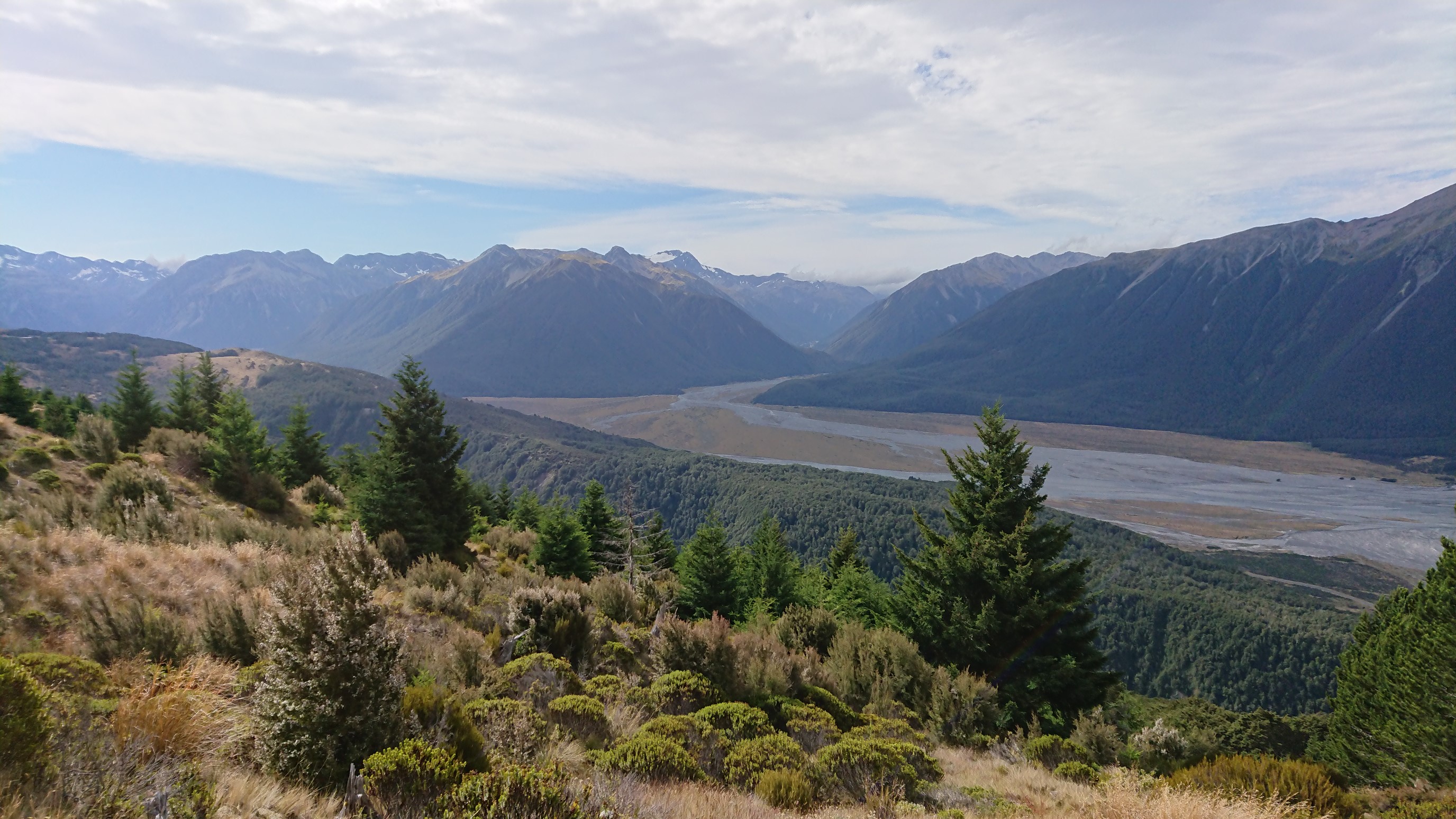
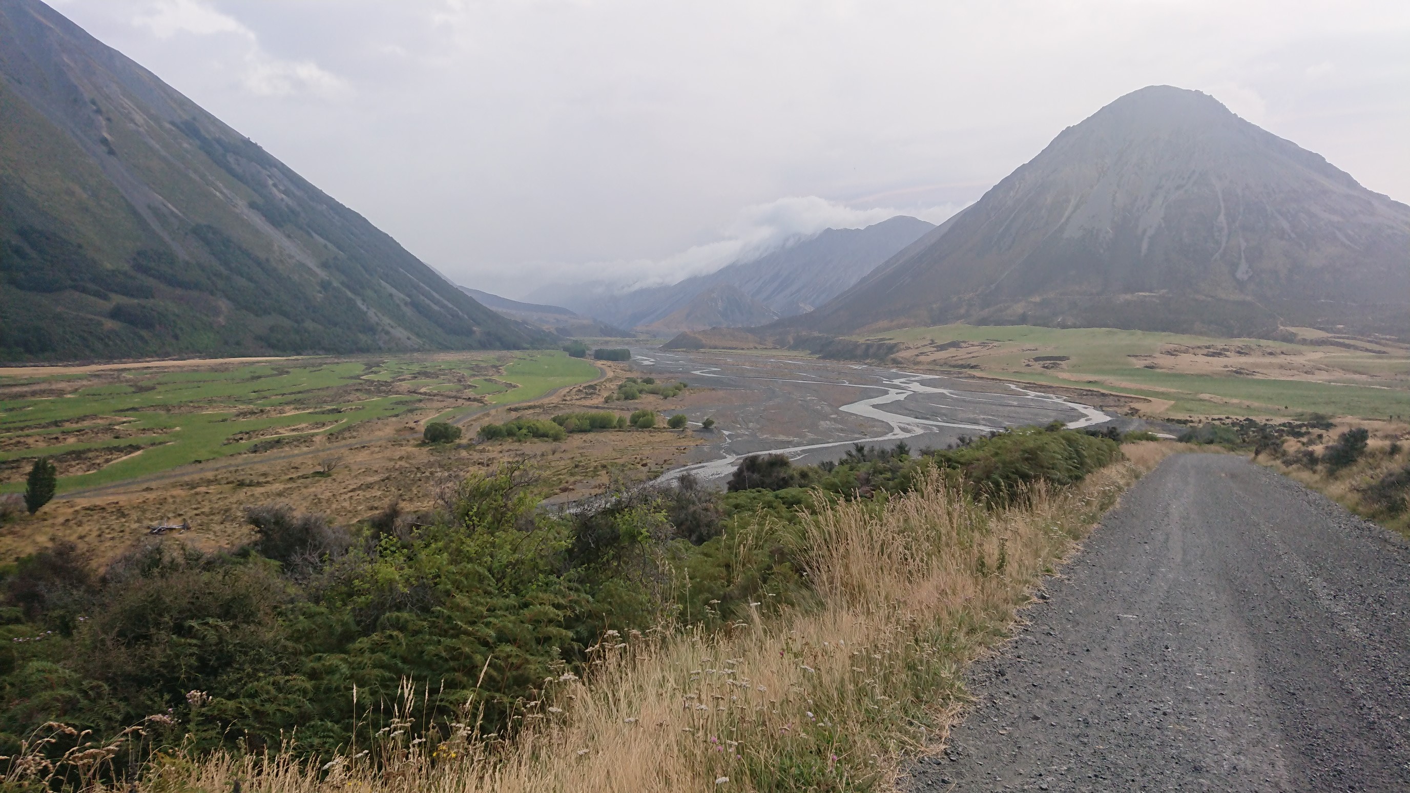
I climb 600m up to a ridge, where I have pretty amazing views down the Waimakariri River valley below.
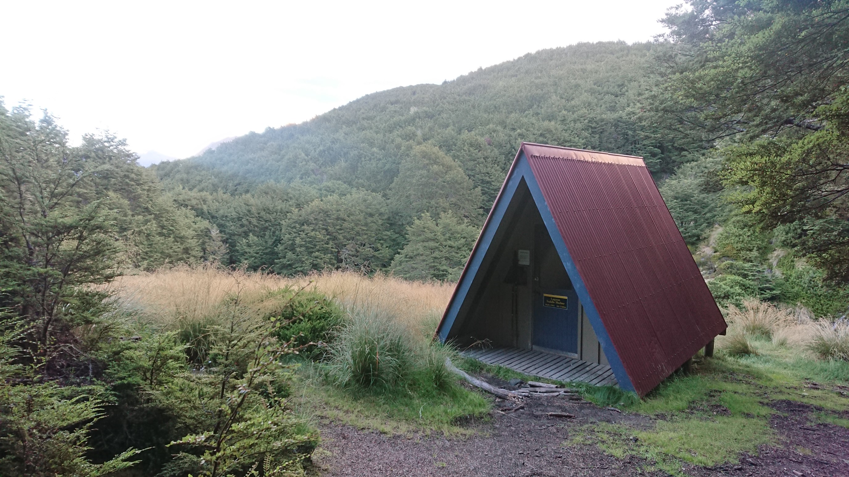
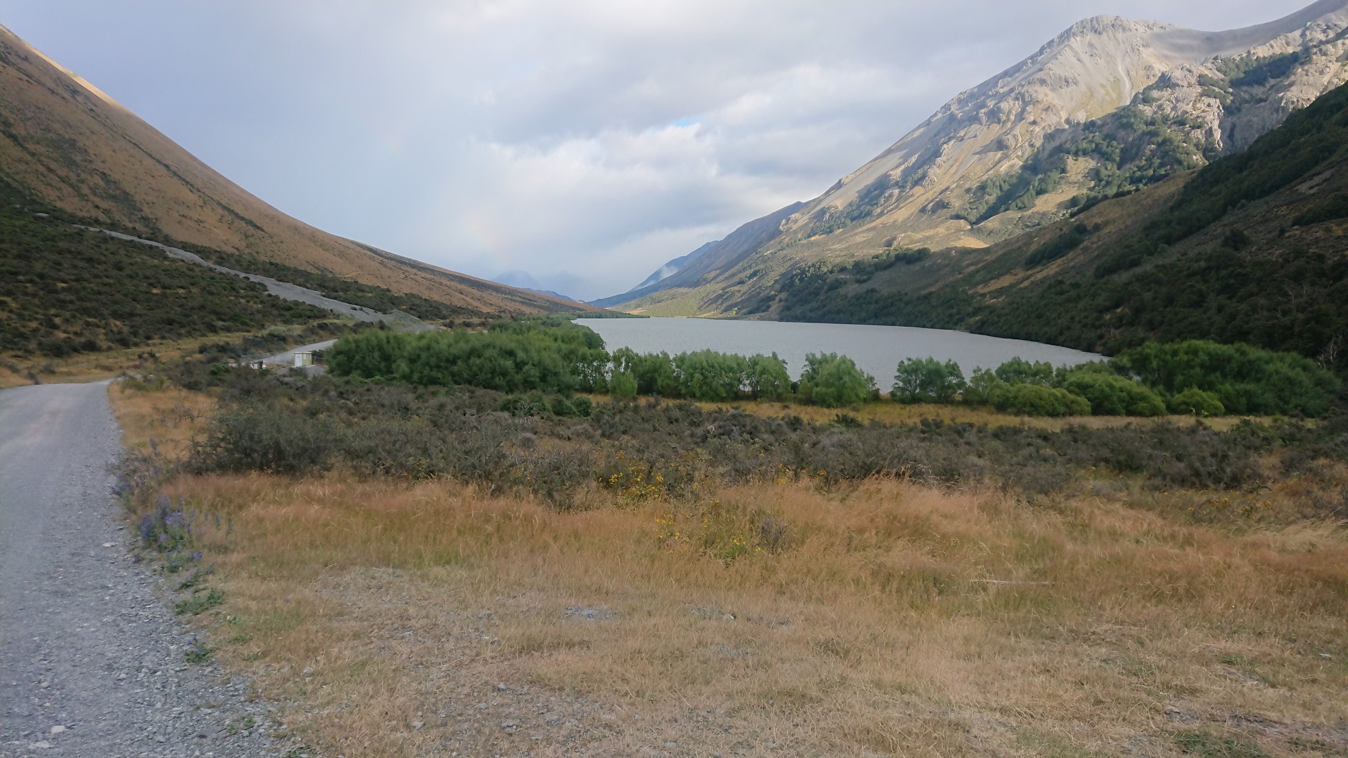
I arrive to the Lagoon Saddle Hut at 6:15pm, and it’s quite a surprise, this hut is in a cool A-frame shape!
There are two other hikers at the hut, a Kiwi girl (Lis) and a German guy (?). We chat for several hours, I can tell we have similar personalities and are really enjoying each others’ company. We eat dinner together, and finally get to bed at 10pm.
Day 84: Sunday January 27th, 17.1mi/27.6km
Lagoon Saddle Hut (2178.8/1147m) to Harper River Camp (2206.4/530m)
I get up at 6:15am, and quietly pack up to avoid waking the other two people. I whisper goodbye to Lis, and start hiking at 6:40. It’s a surprisingly warm morning, and after 40 minutes, I catch Amanda & Ruben!
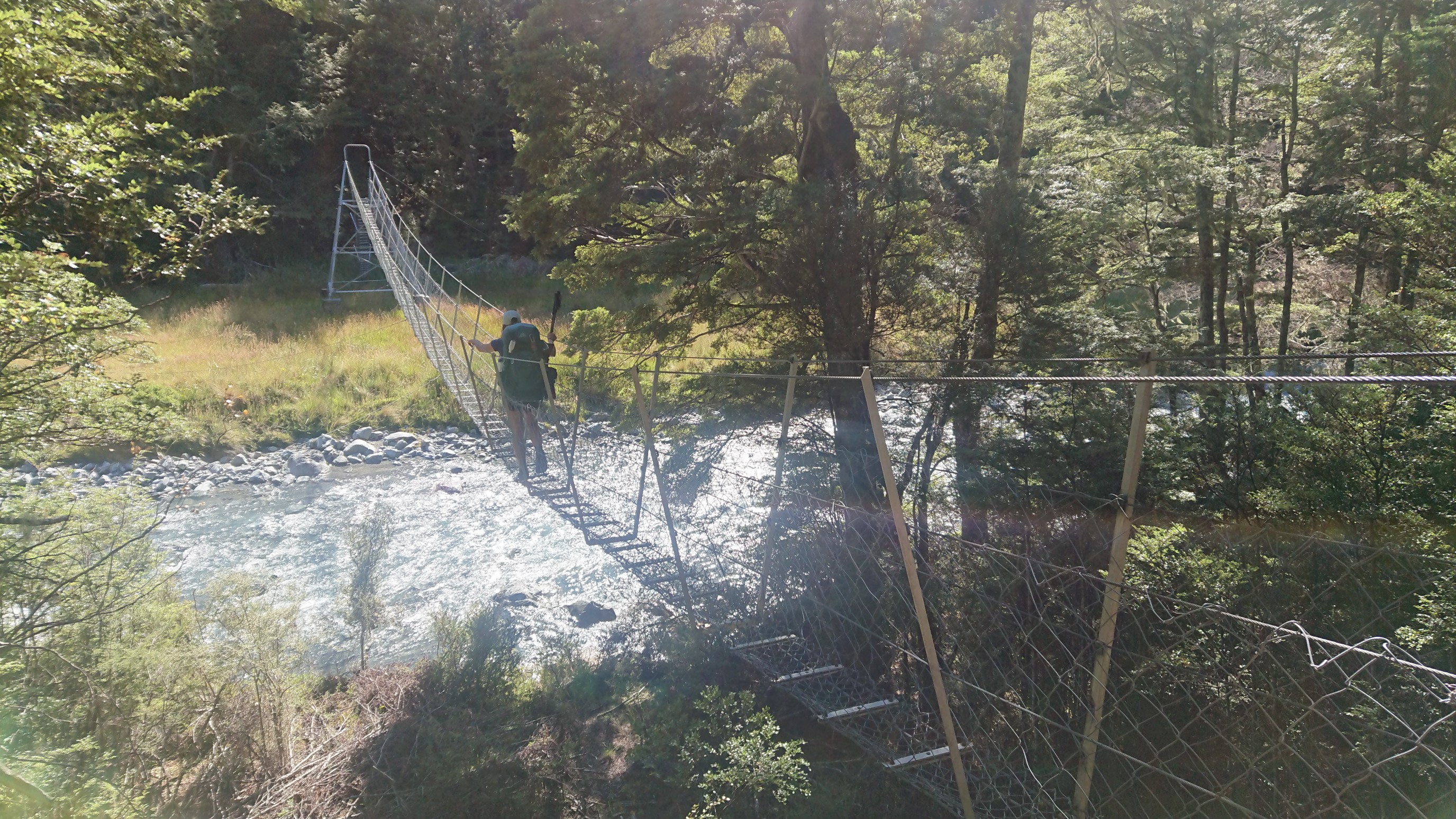
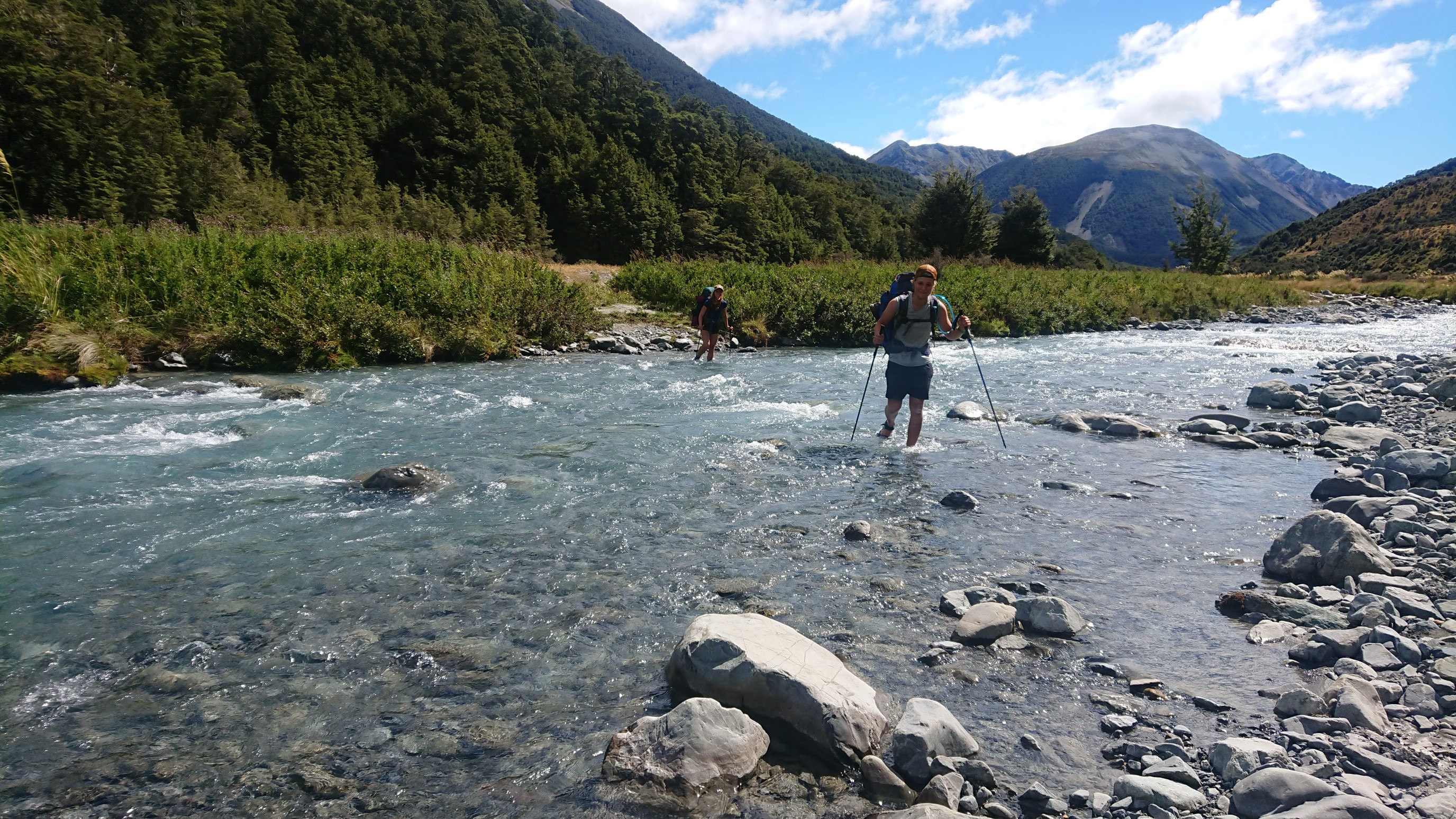
We hike together all day, taking at break at the West Harper Hut, which is gross. The swingbridge across the Harper River is fun!
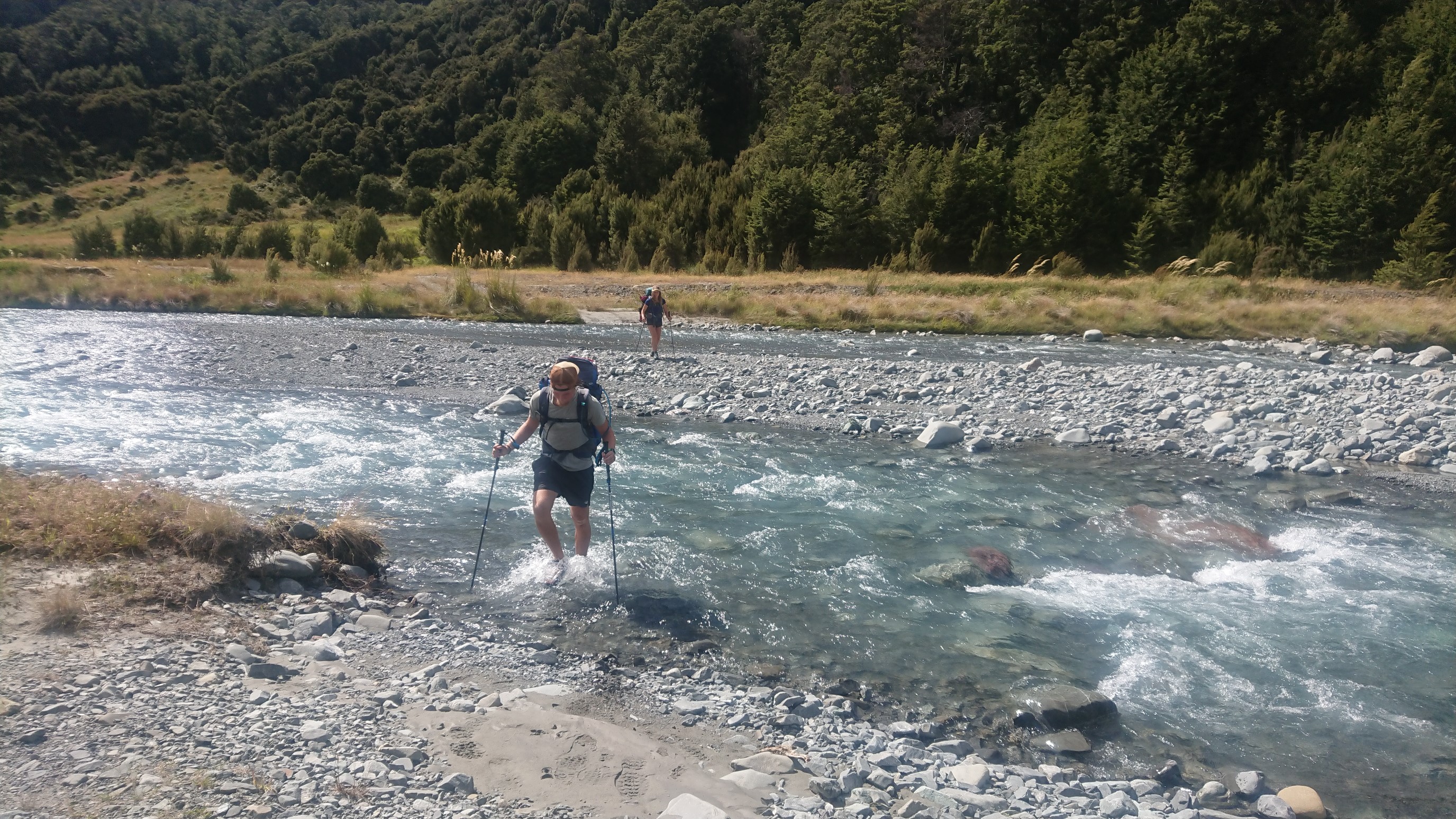
We cross and re-cross the river several times.
Later, we take a lunch break next to the Harper River.
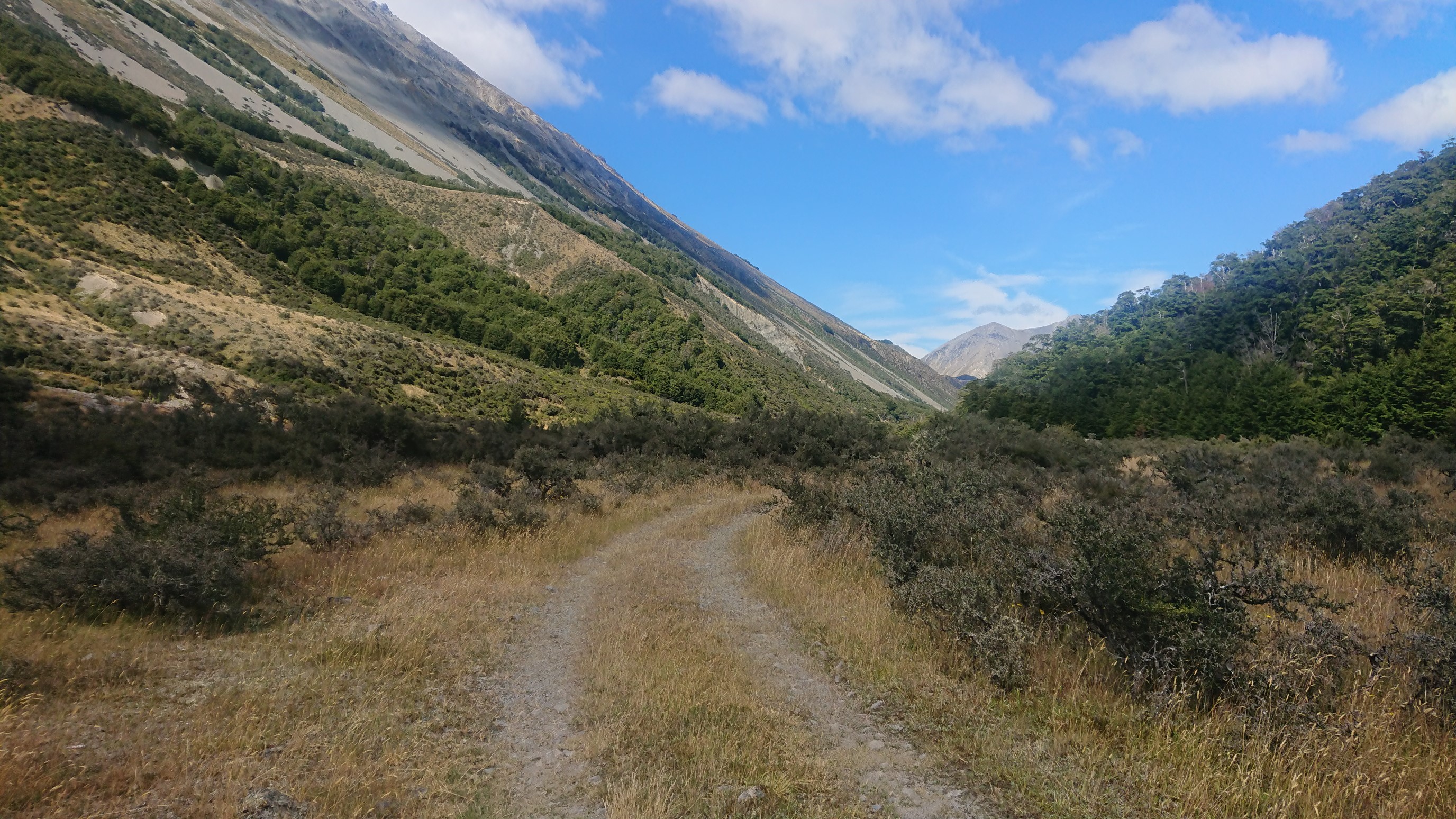
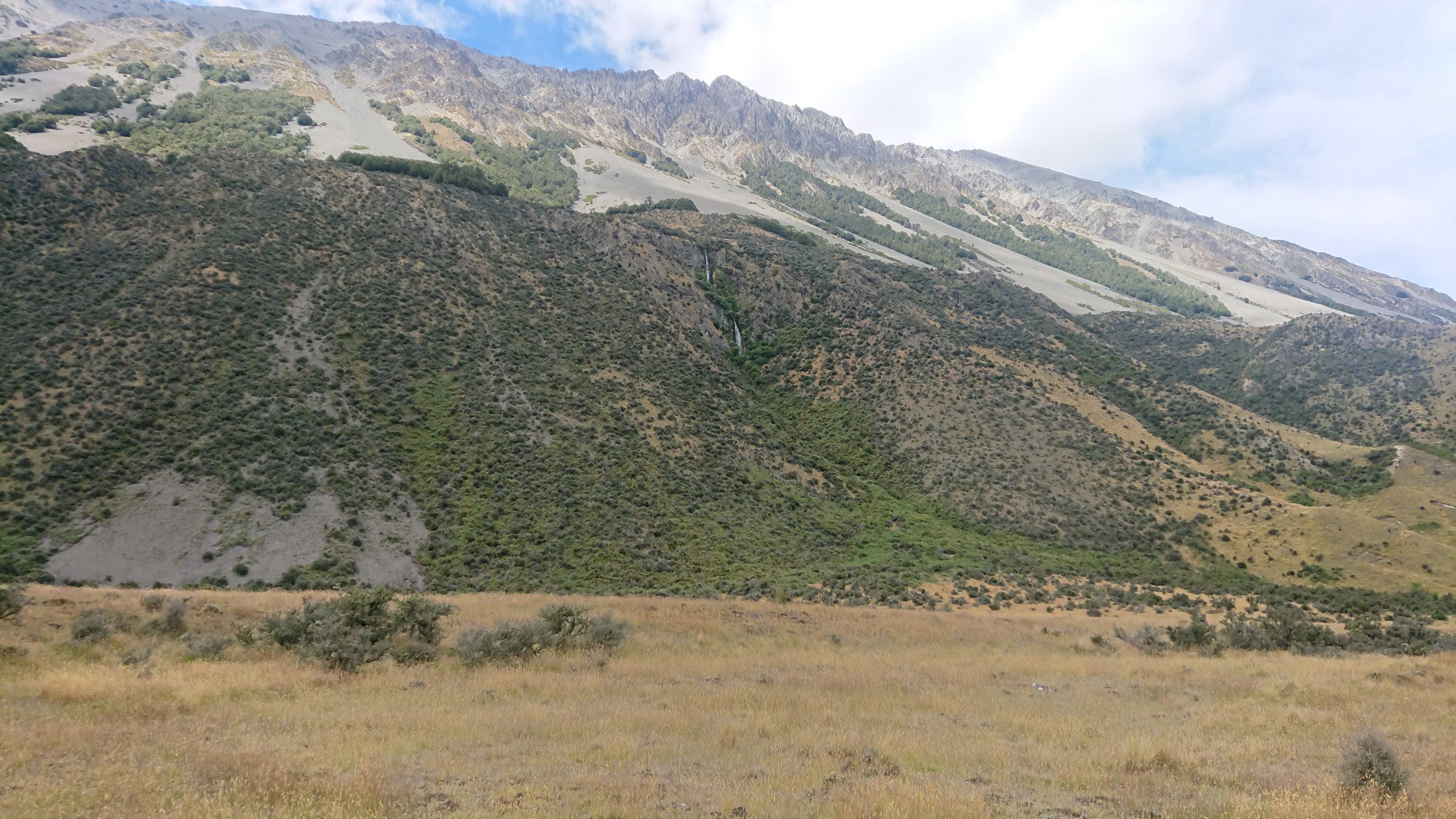
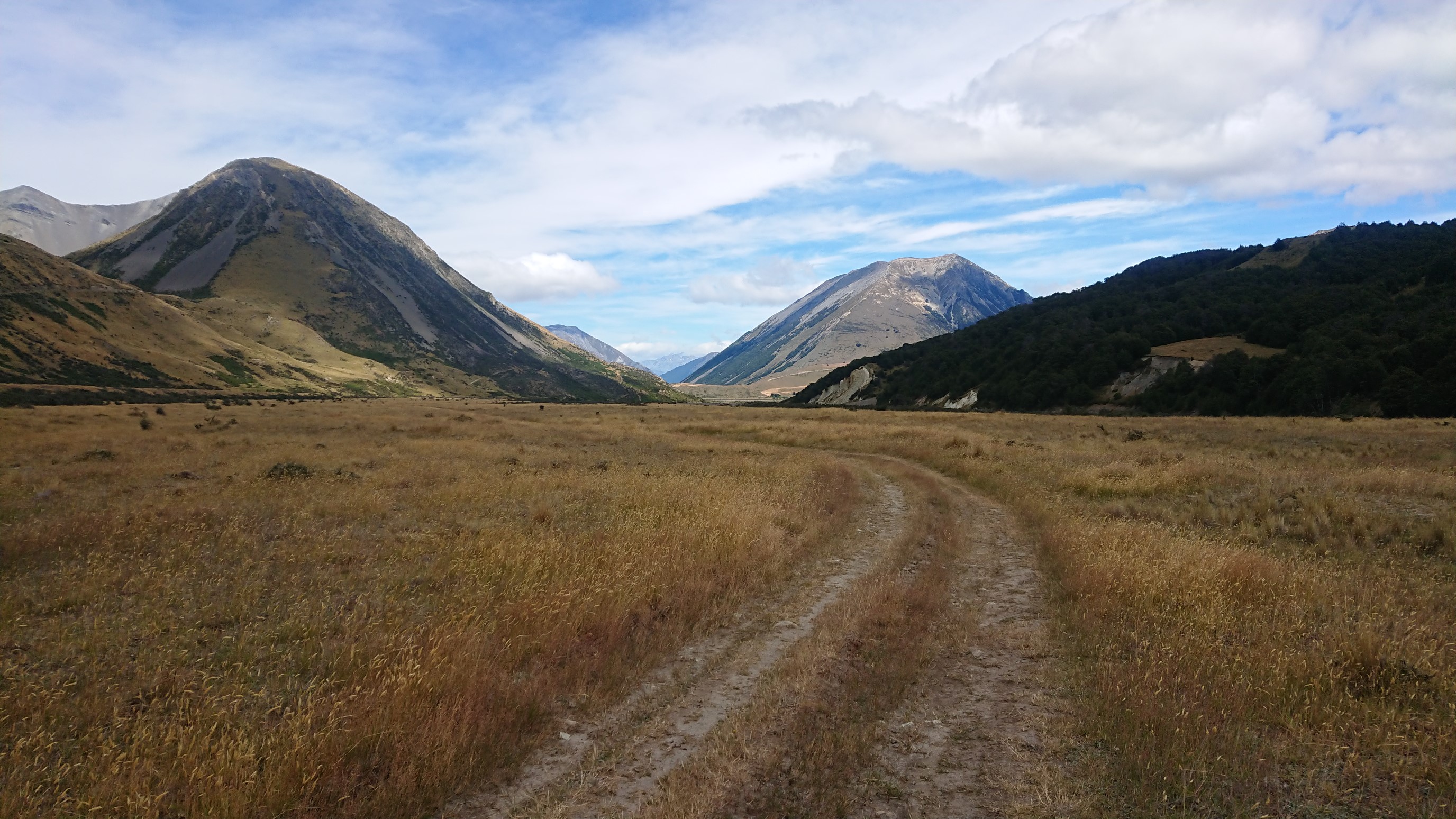
All afternoon we hike along the river, and there is no trees or shade, and it’s quite hot.
And re-crossing the river again.
The lack of trees makes for hot hiking, but it also means good views!
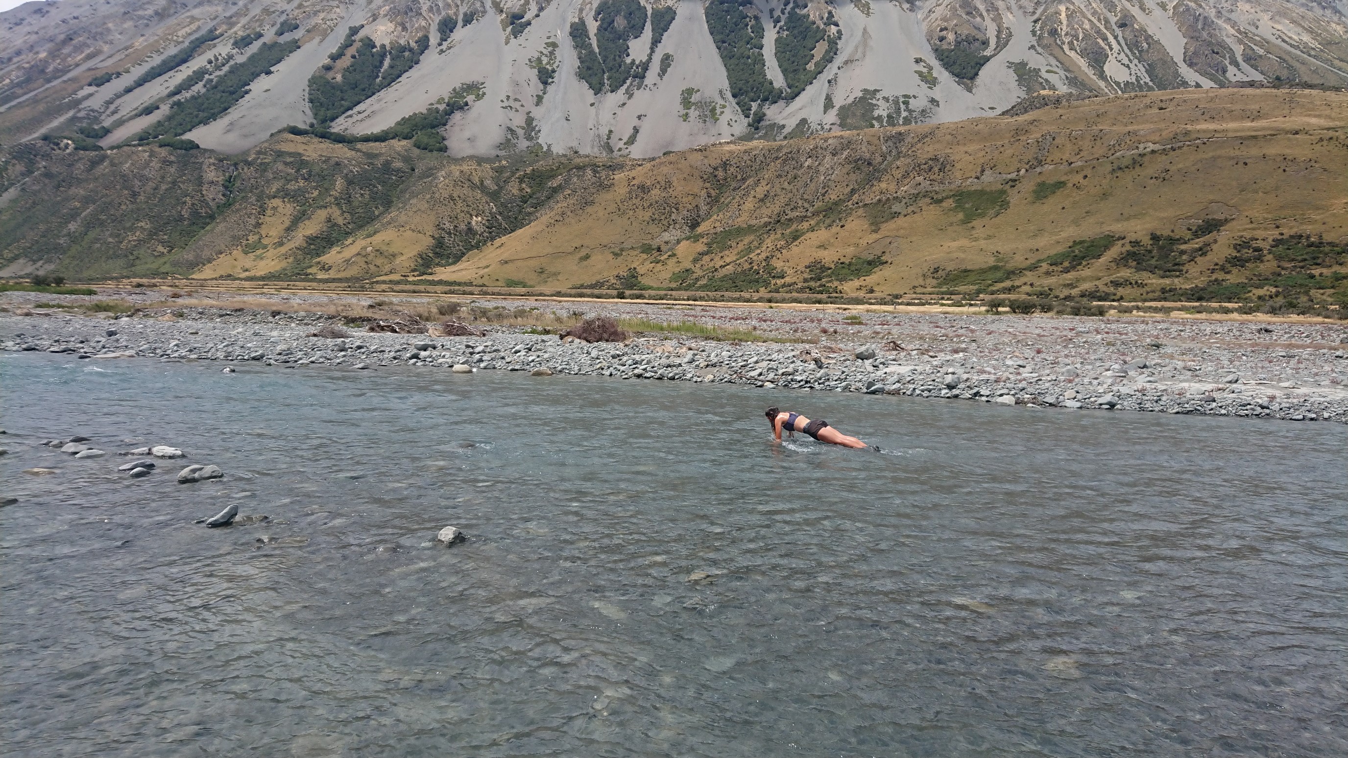
At lunch, we “swim” in the river, by doing river push-ups!
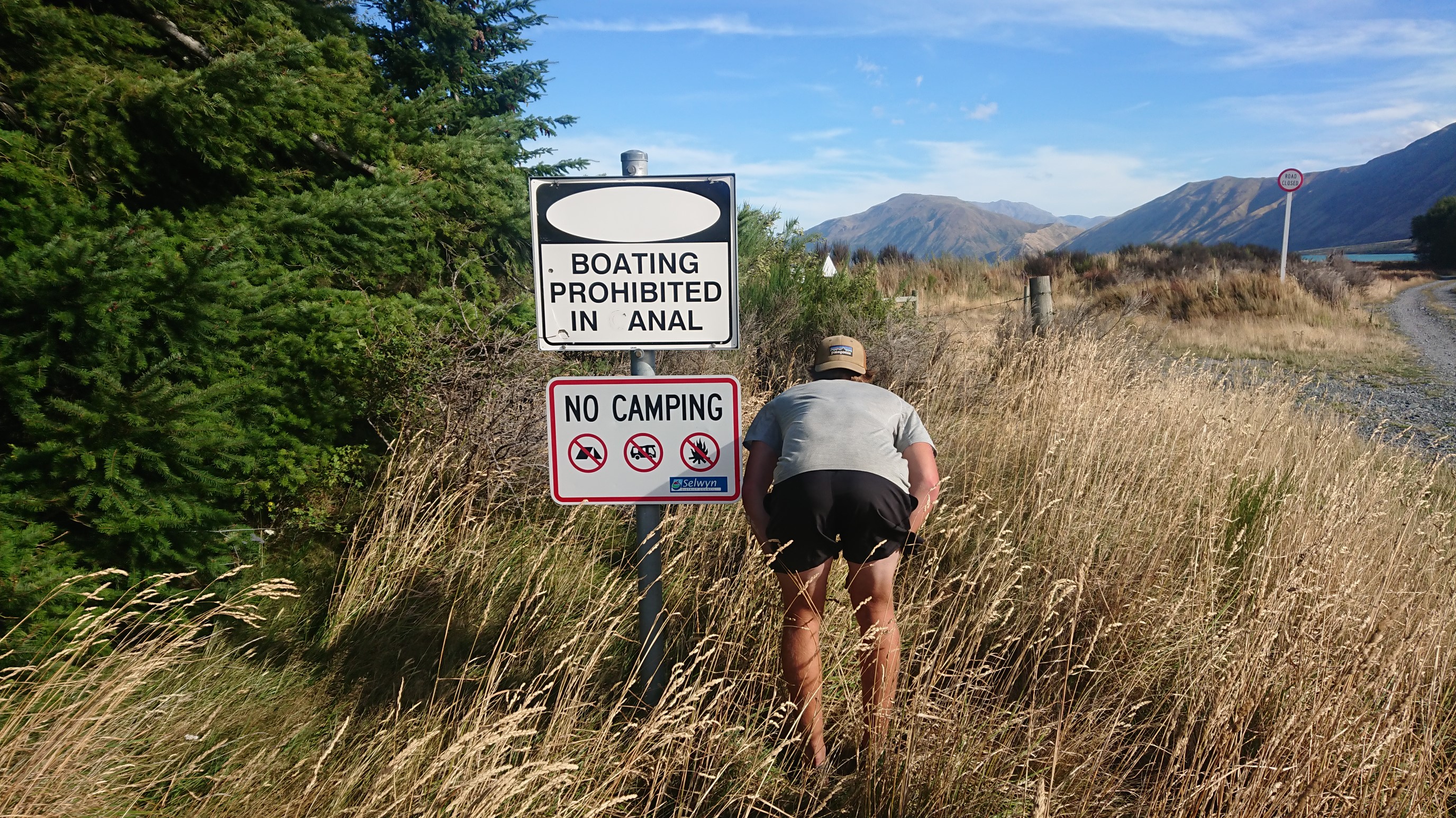
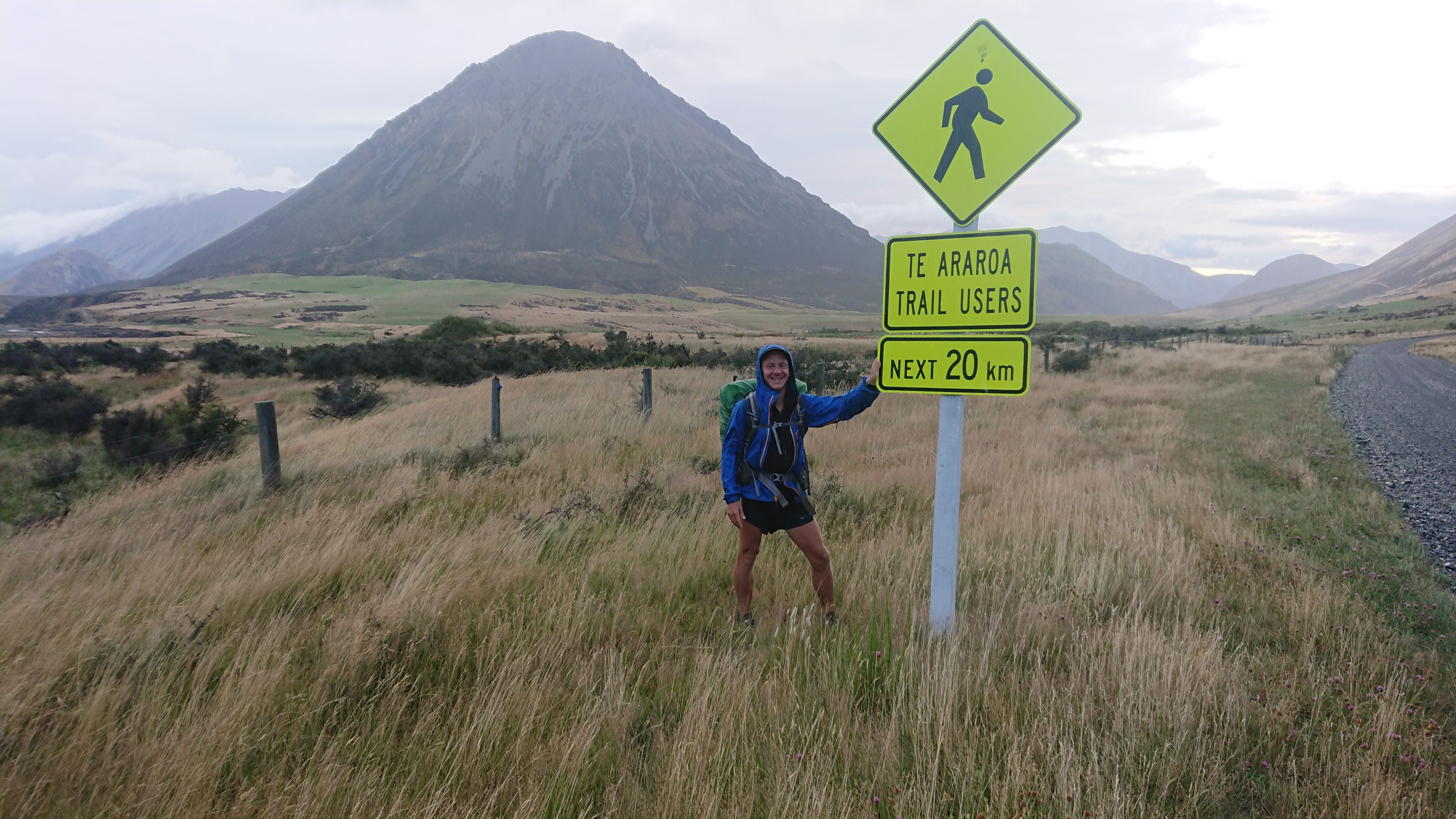
We continue on the 4wd road, all the way to camp at the power station, which they’ve named “Harper River Camp”. There’s also a funny sign near the entrance:
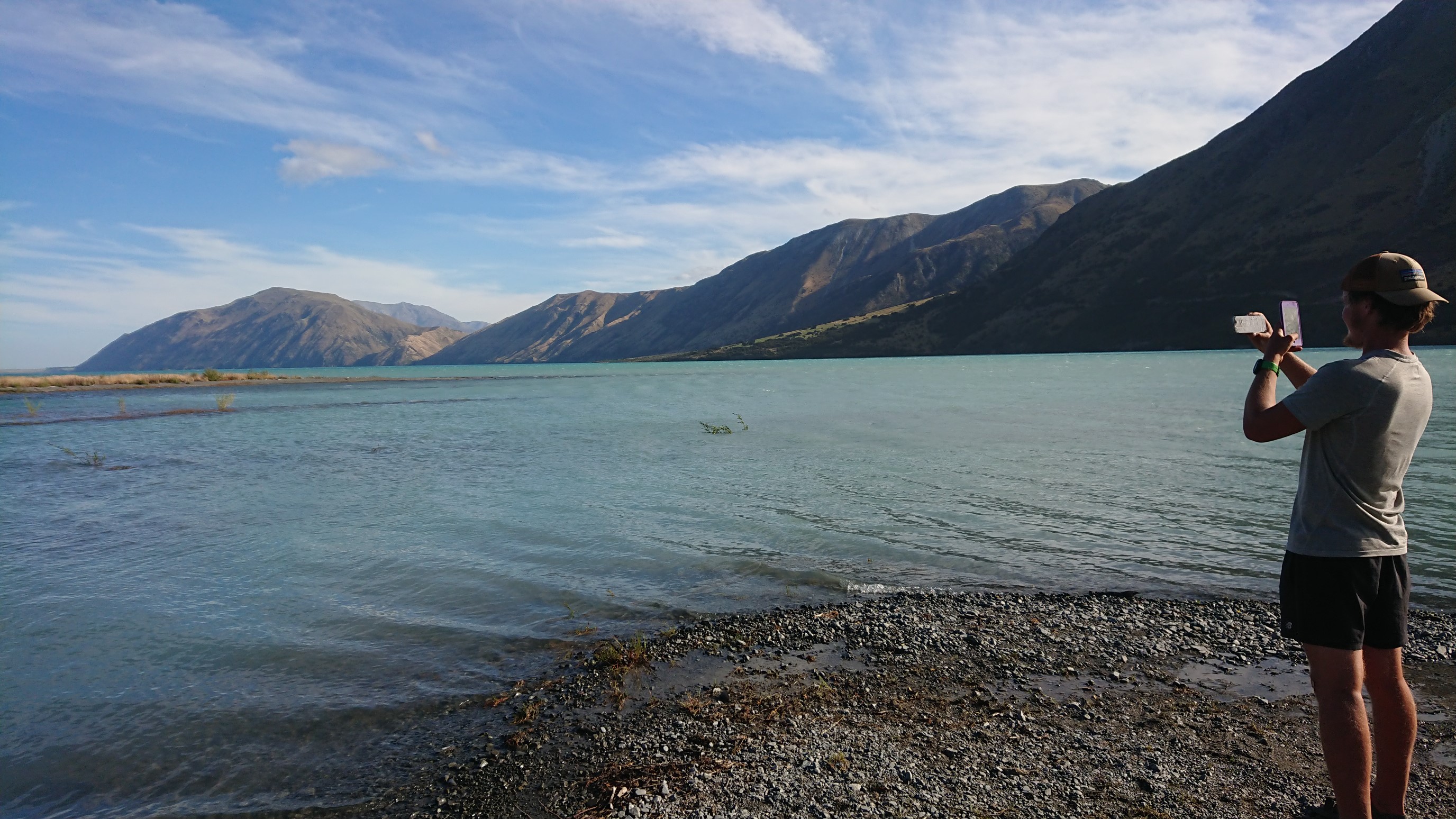
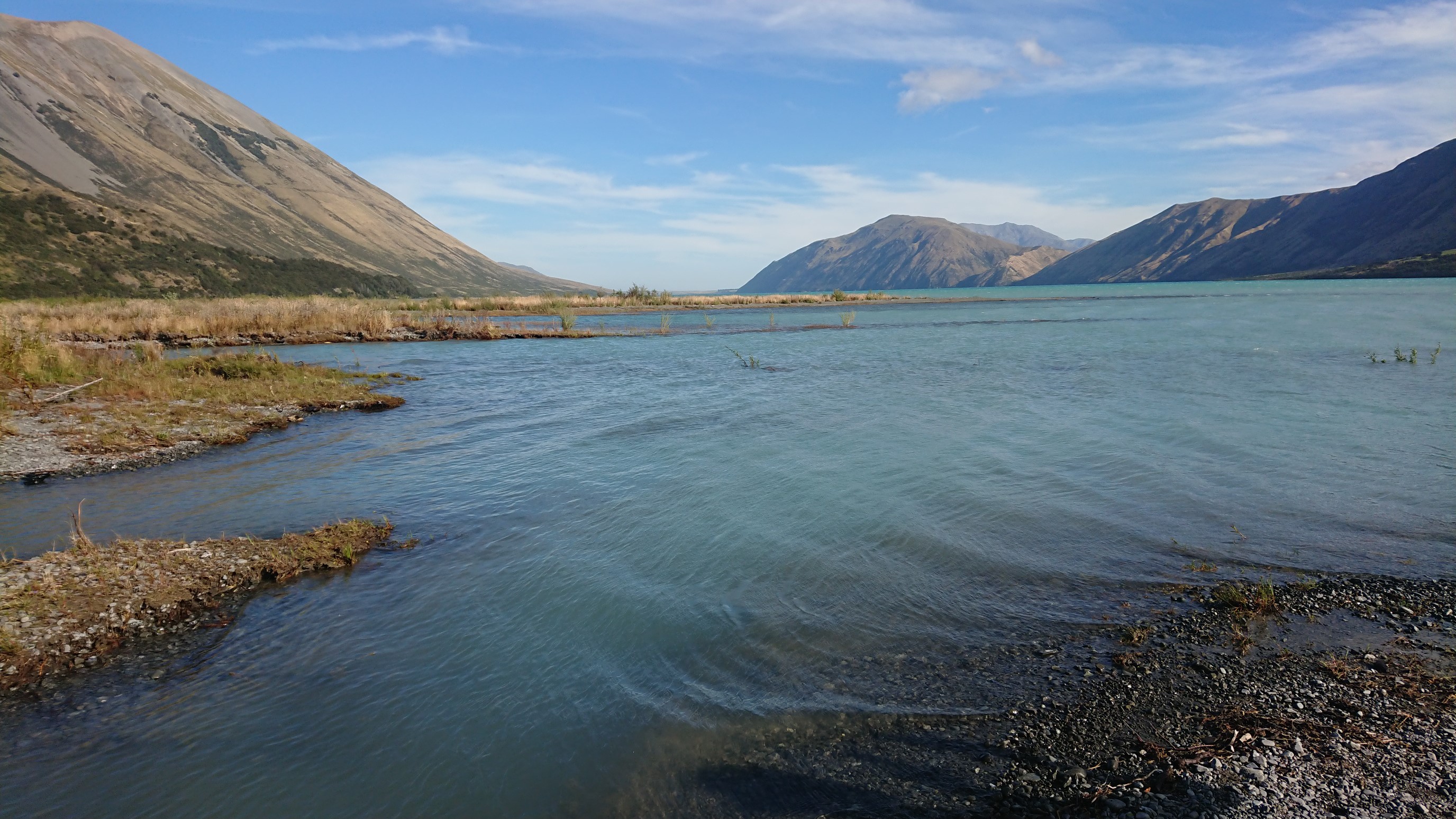
We get there at 4:15pm, and see two other northbound TA hikers, a French guy and a Kiwi girl. It’s hot and windy, so we walk the 1km down to the lake and go for a swim.
We have dinner together at 7pm, and talk about our plans for tomorrow for awhile, finally getting to bed at 9:30pm.
Day 85: Monday January 28th, 17.8mi/28.6km
Harper River Camp (2206.4/530m) to Lake Coleridge Village (2235.0/375m)
I get up early, since we have 28km to walk by 1pm. (There is a shuttle bus that *might* come then). I’m ready to go at 6:45, but we don’t start walking until 7am.
The road walk is uneventful, with only a few cars passing us all morning, and at very high speeds. These signs provide entertainment though!
The skies become clear, and at 9:30am the sun breaks out, and it’s hot again. I take a couple short breaks, but nothing too long.
At 11:30am we leave the road and do the 3k Lake Hill Track, a confusing mess of old jeep roads and poor trail.
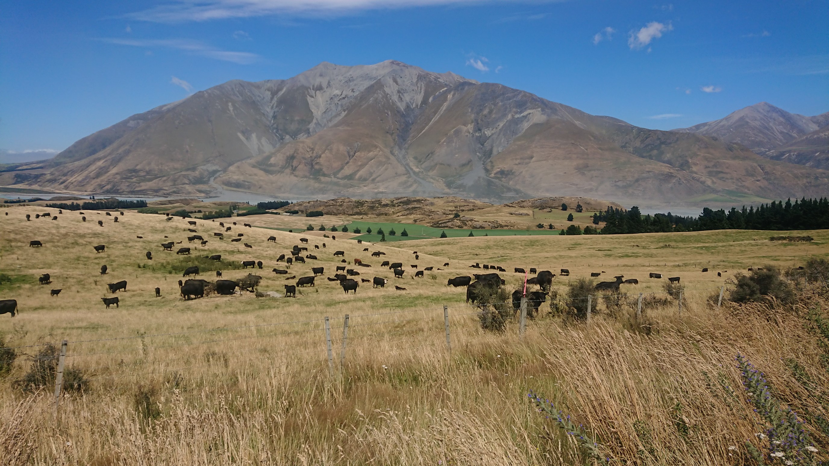
We hike another road, and of course our bovine friends are watching us.
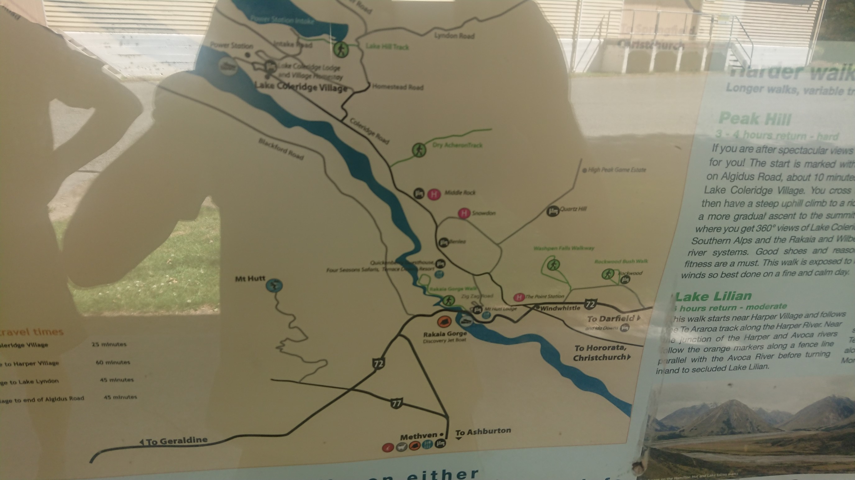
We arrive at the pickup spot at 1pm. There is already another hiker there, and we all wait together. The shuttle bus never arrives, and at 2:30pm the three of us head to a hitching spot. We find a map of the area, and decide that the town of Methven is our target.
A local guy named Stu drives by and offers us a place to stay, and a promise of a ride across the river the next day. We accept his very nice offer, and he shows us the mighty Rakaia River along the way.
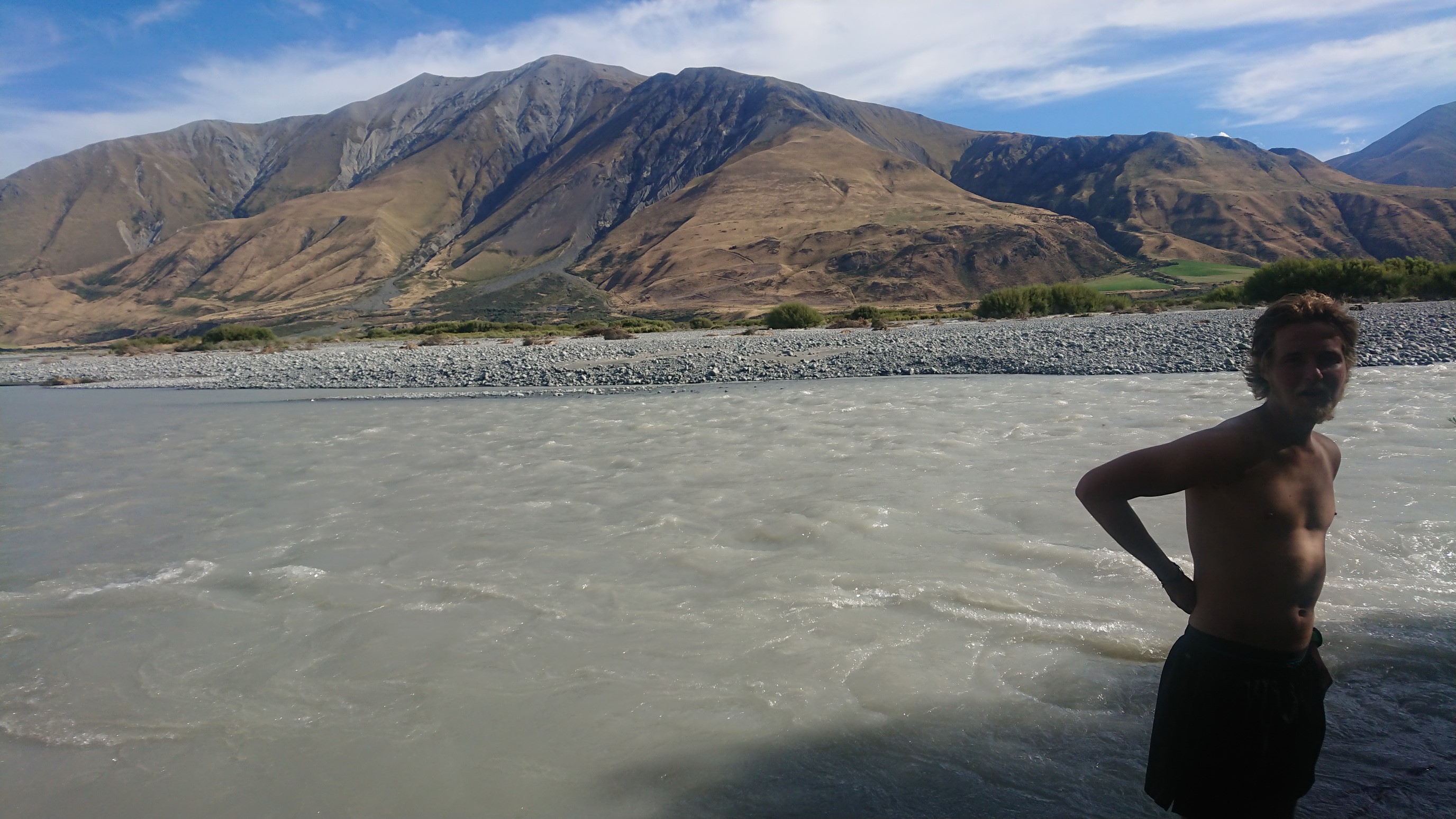
The Rakaia River is a large braided glacial river, and is generally considered uncrossable. It is one of three “hazard zones” on the TA, where hikers have to get a ride around the river or lake. The trail resumes on the opposite riverbank.
Back at Stu’s house, we enjoy a huge dinner of burgers, salad and cake at 8pm, and then pass out by 10pm.
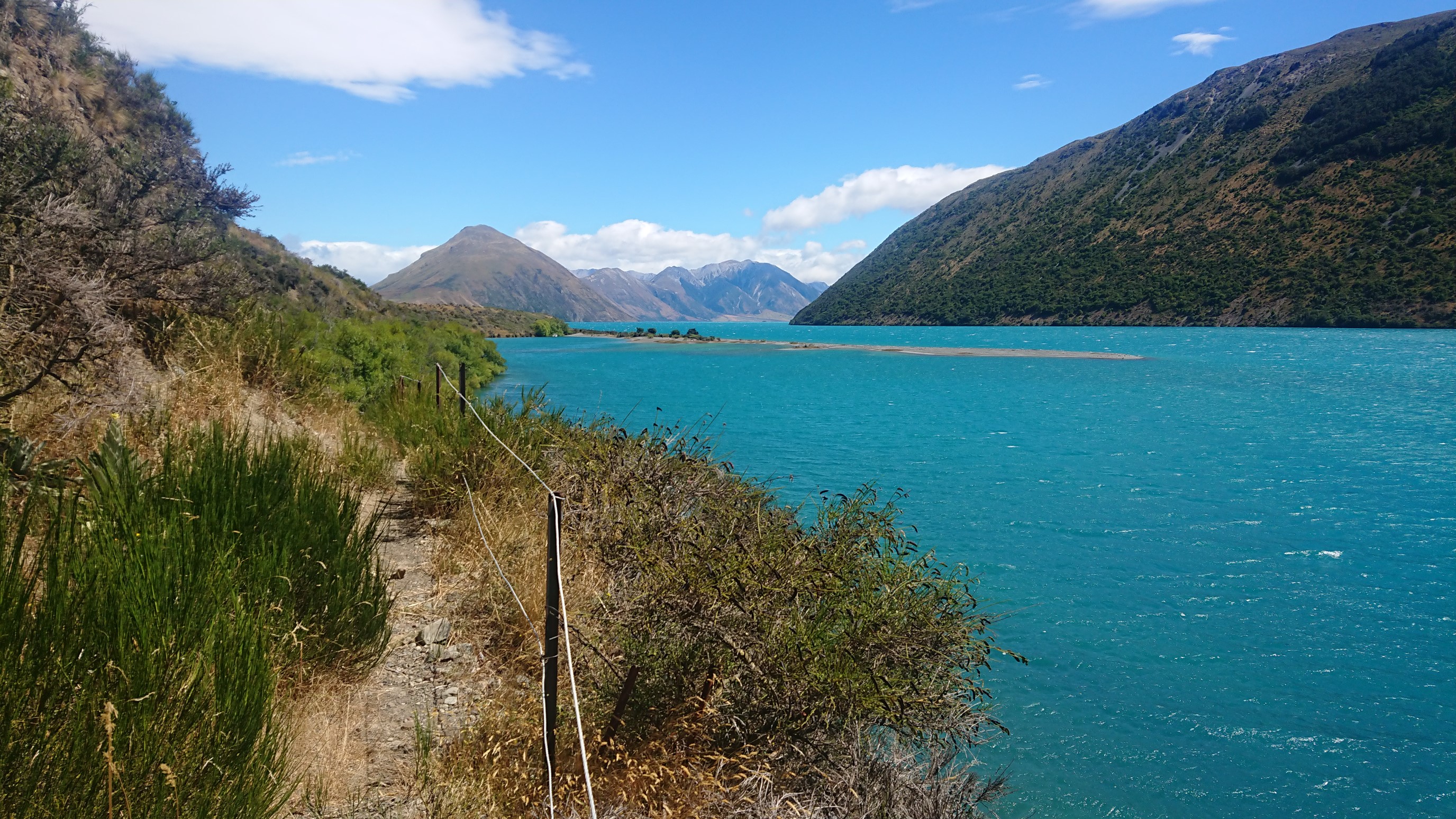
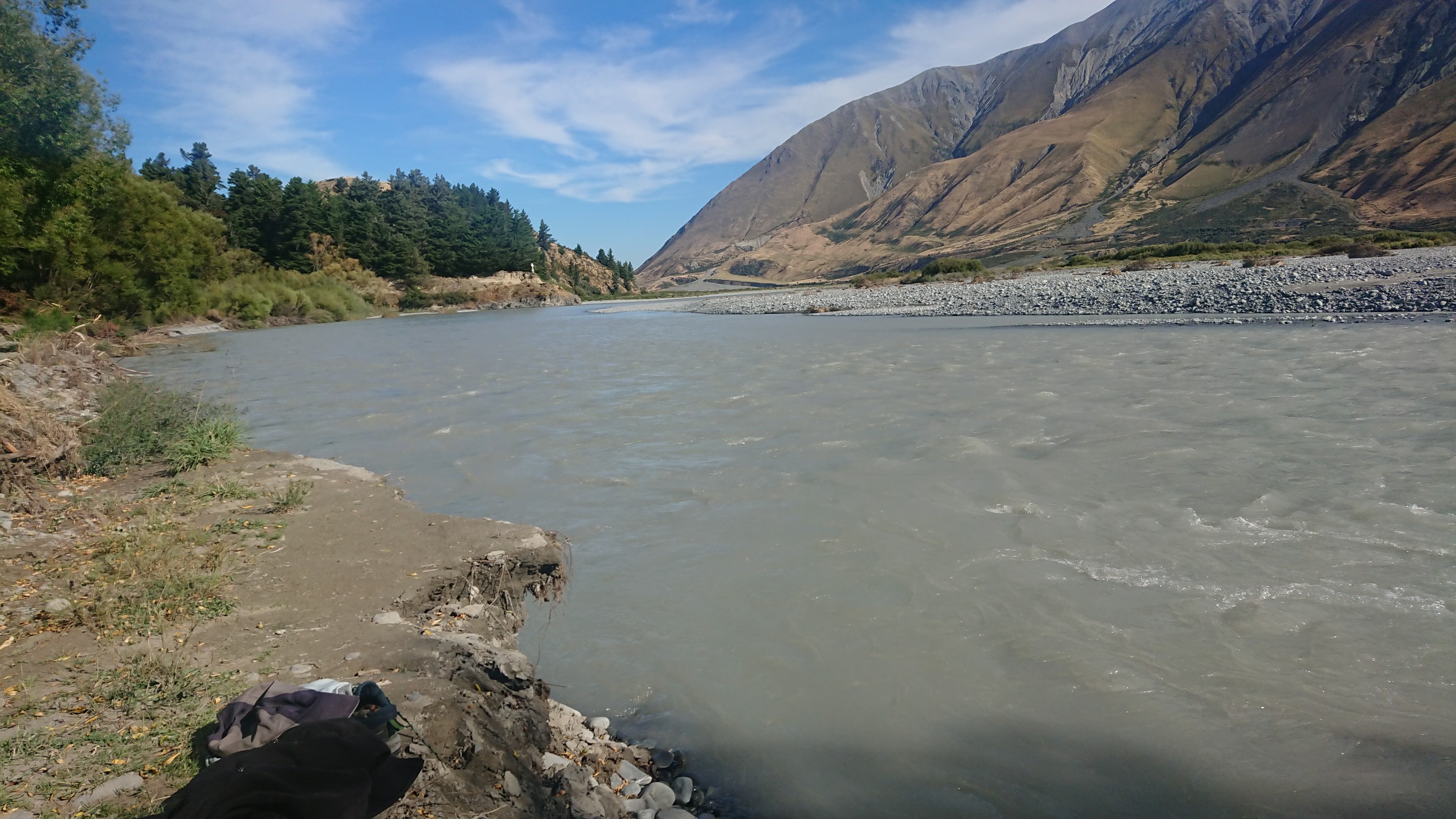
Beautiful blue skies & water!