Monday October 7, 22.0mi/35.4km
Whitney Portal Campground (121.0/8020ft) to Mt Whitney Summit (132.0/14,505ft) (CA) (+11.0 return to trailhead)
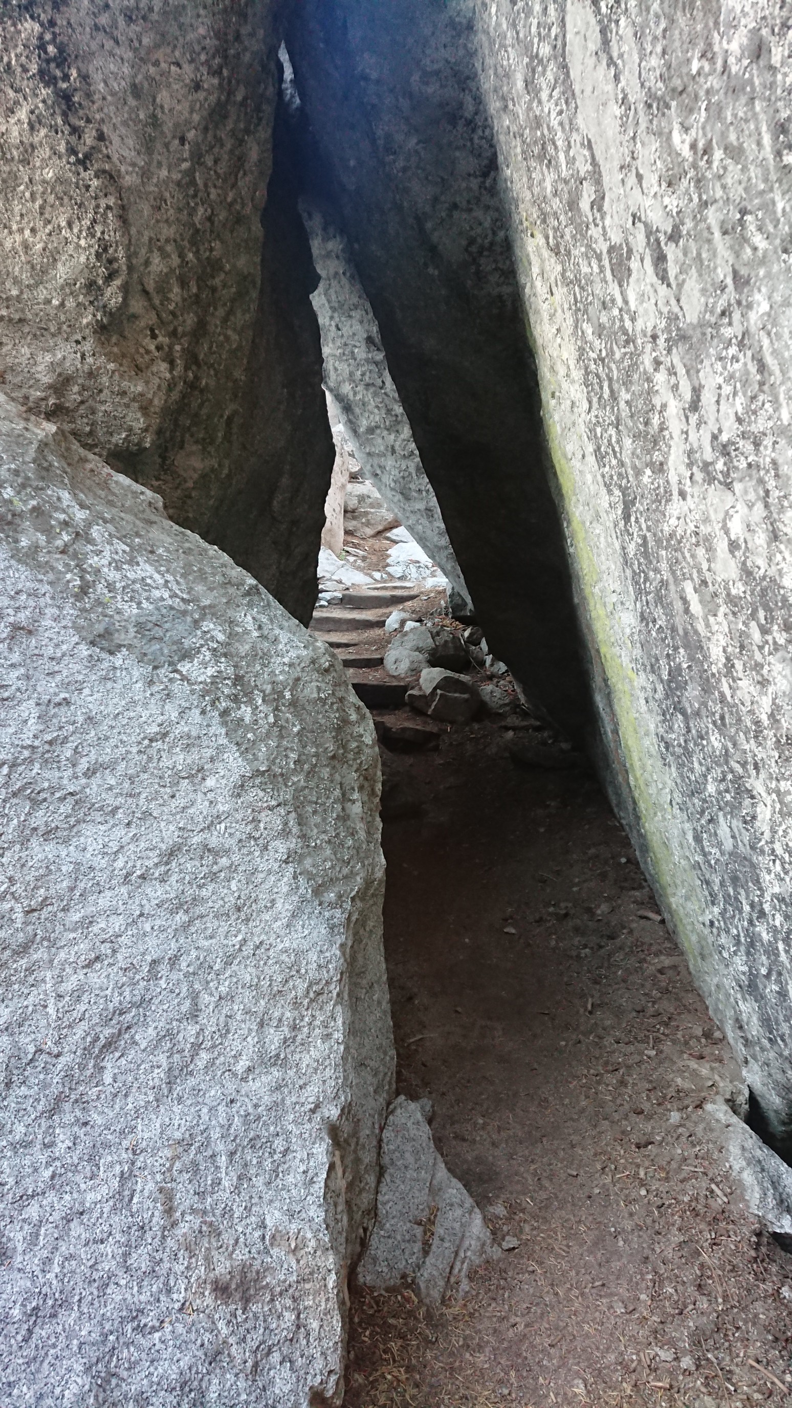
I expected this to be a slower day, so I started moving uphill at 7:15am. Immediately I had a fun obstacle, a tunnel!
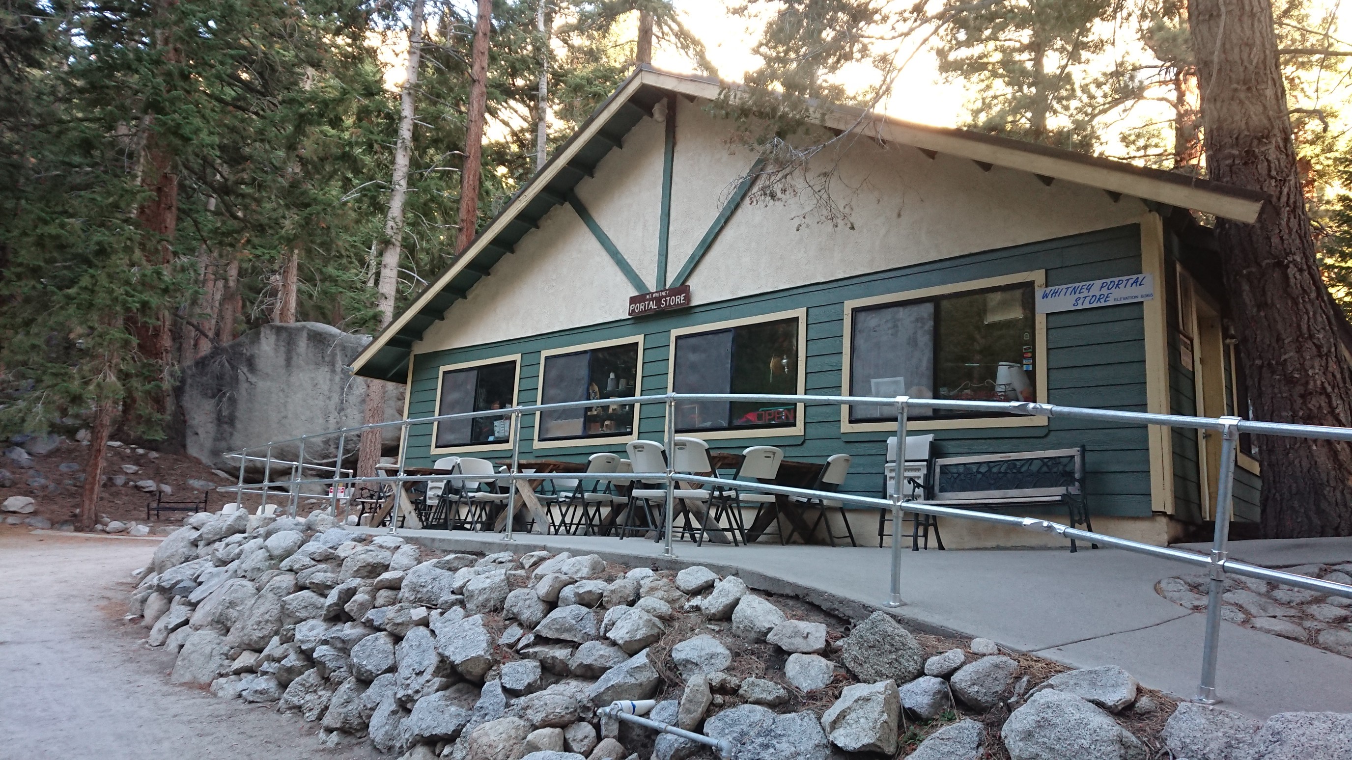
I arrived to Whitney Portal 15 minutes later, and saw a few other dayhikers packing up at their cars. The general store/restaurant was still closed.
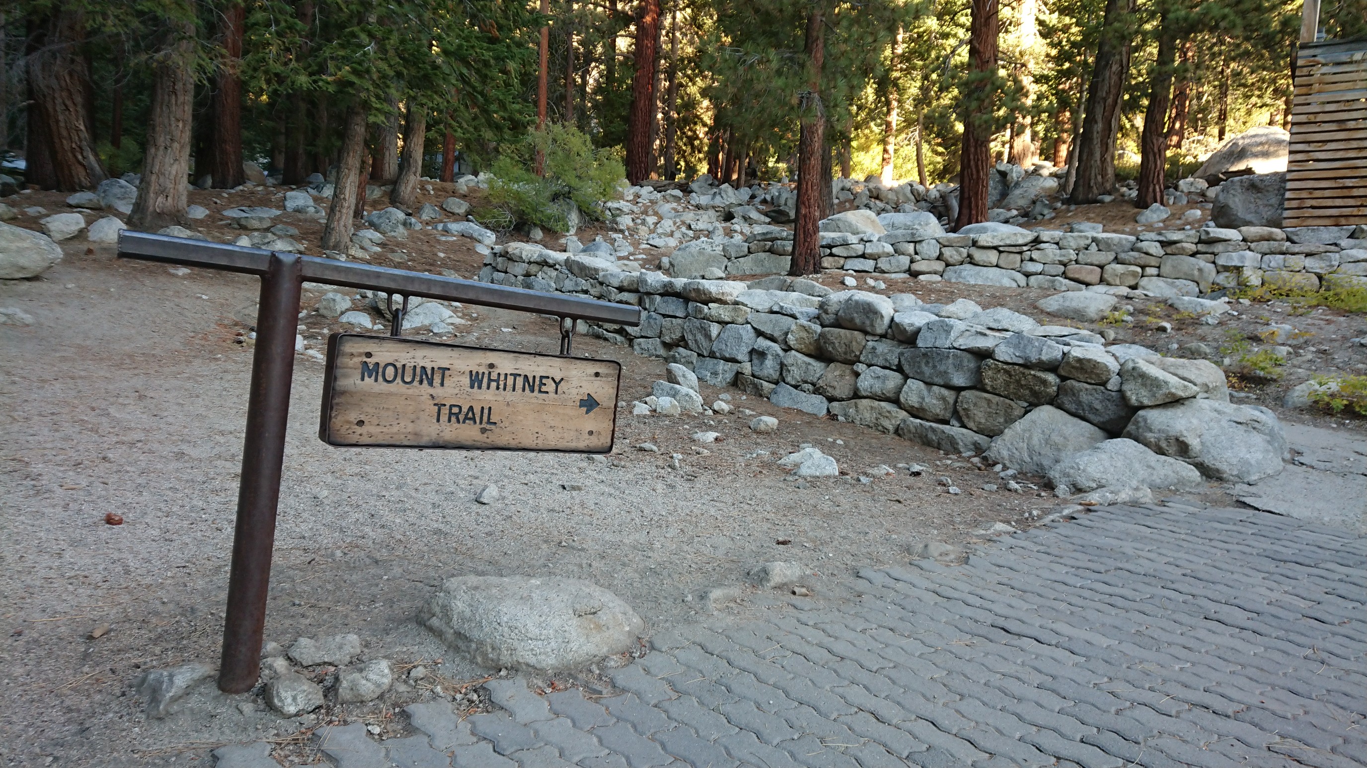
After a few minutes wandering the maze of parking lots, I found the trail.
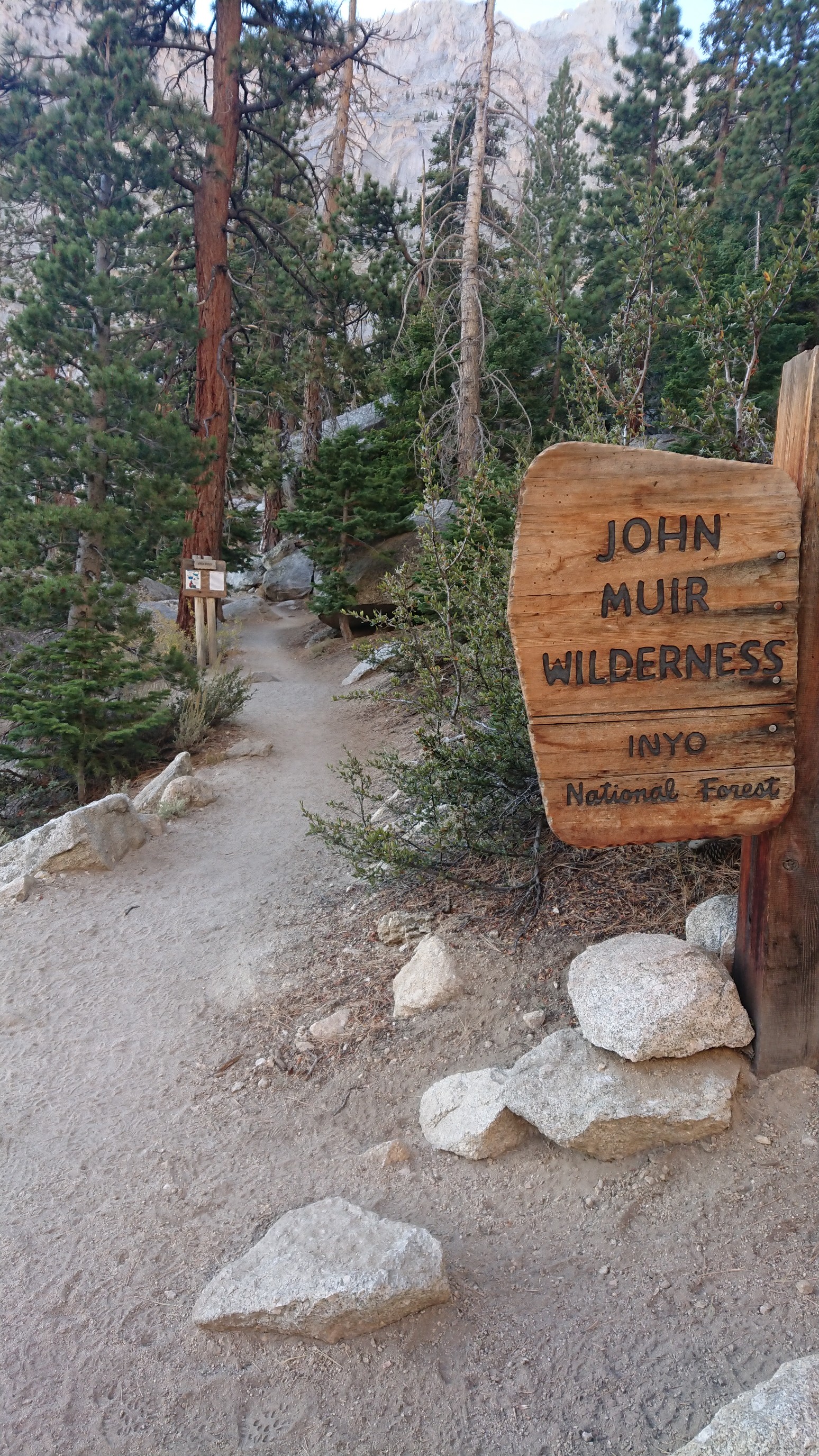
And up I went! About 10 minutes up the hill I entered a wilderness.
The views were good right from the start.
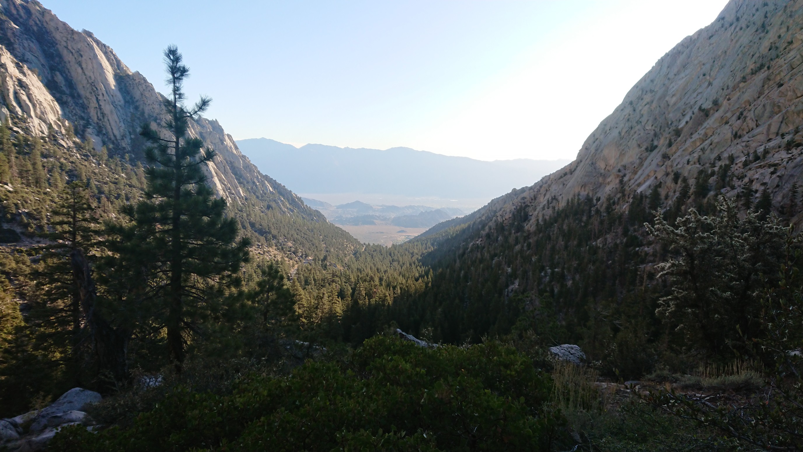
And the aspen trees were already showing their fall colors.
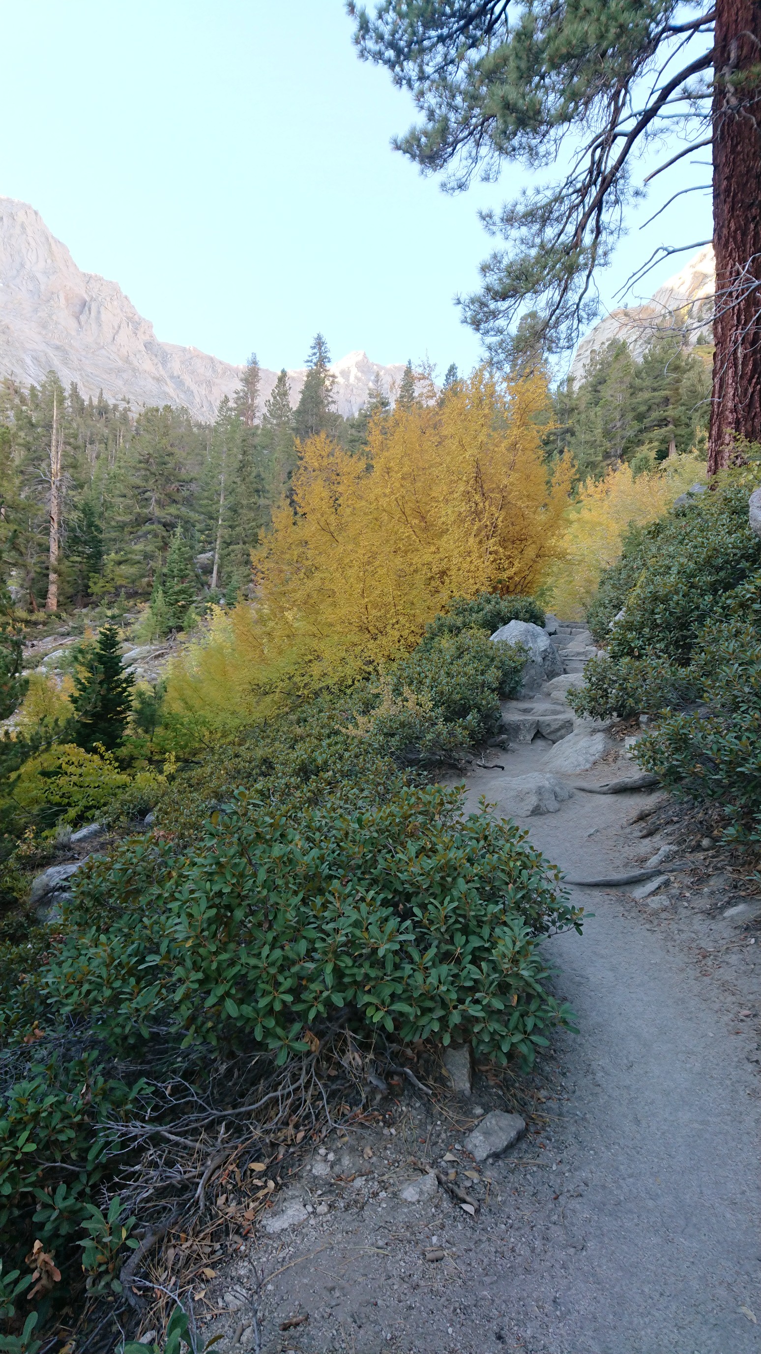
This part of trail actually had surface water! Such a change from the first 100 miles of the route.
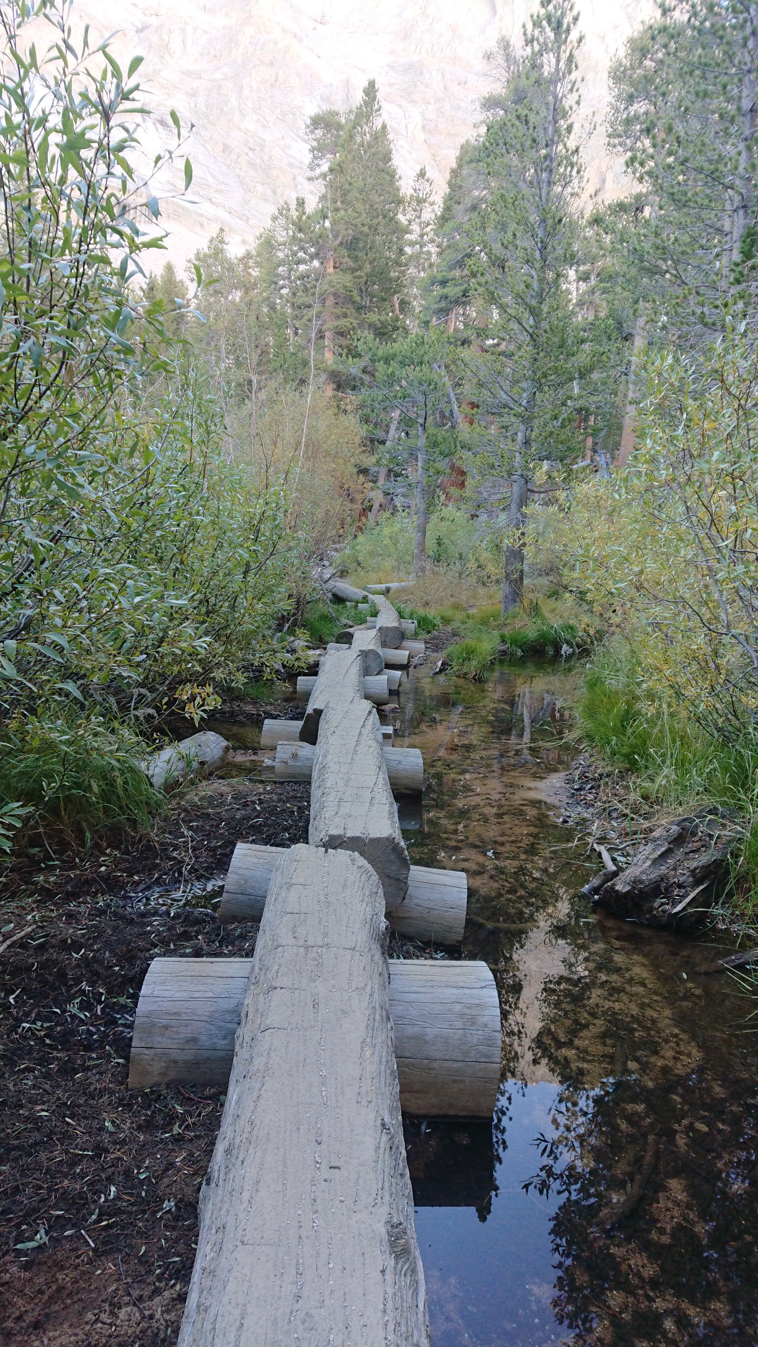
More views…
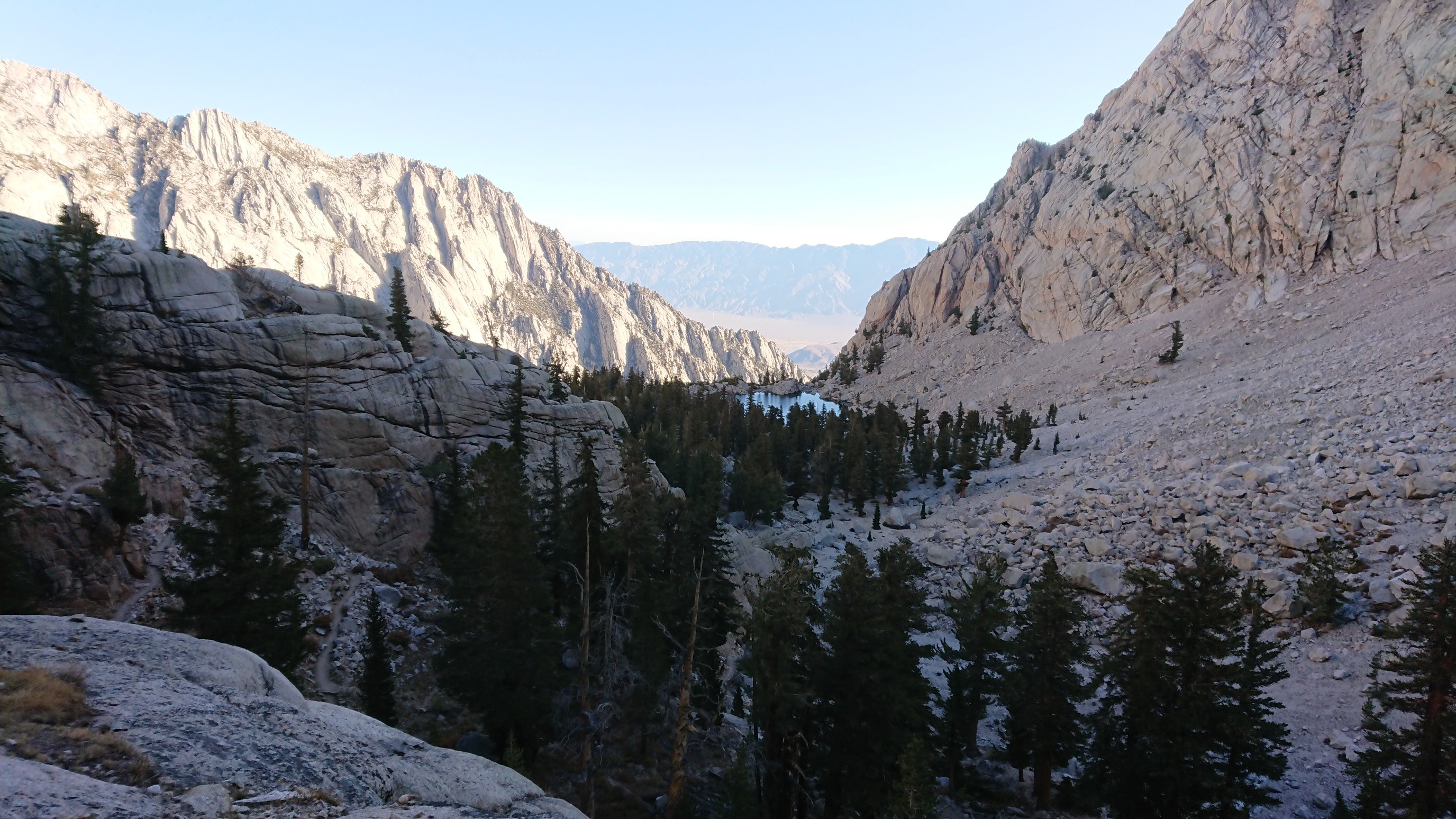
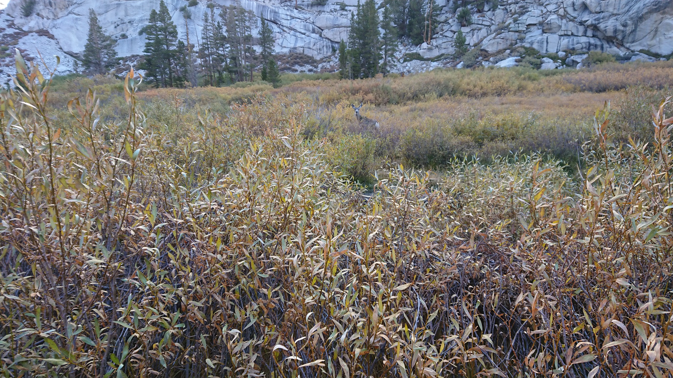
The deer are not shy at all here.
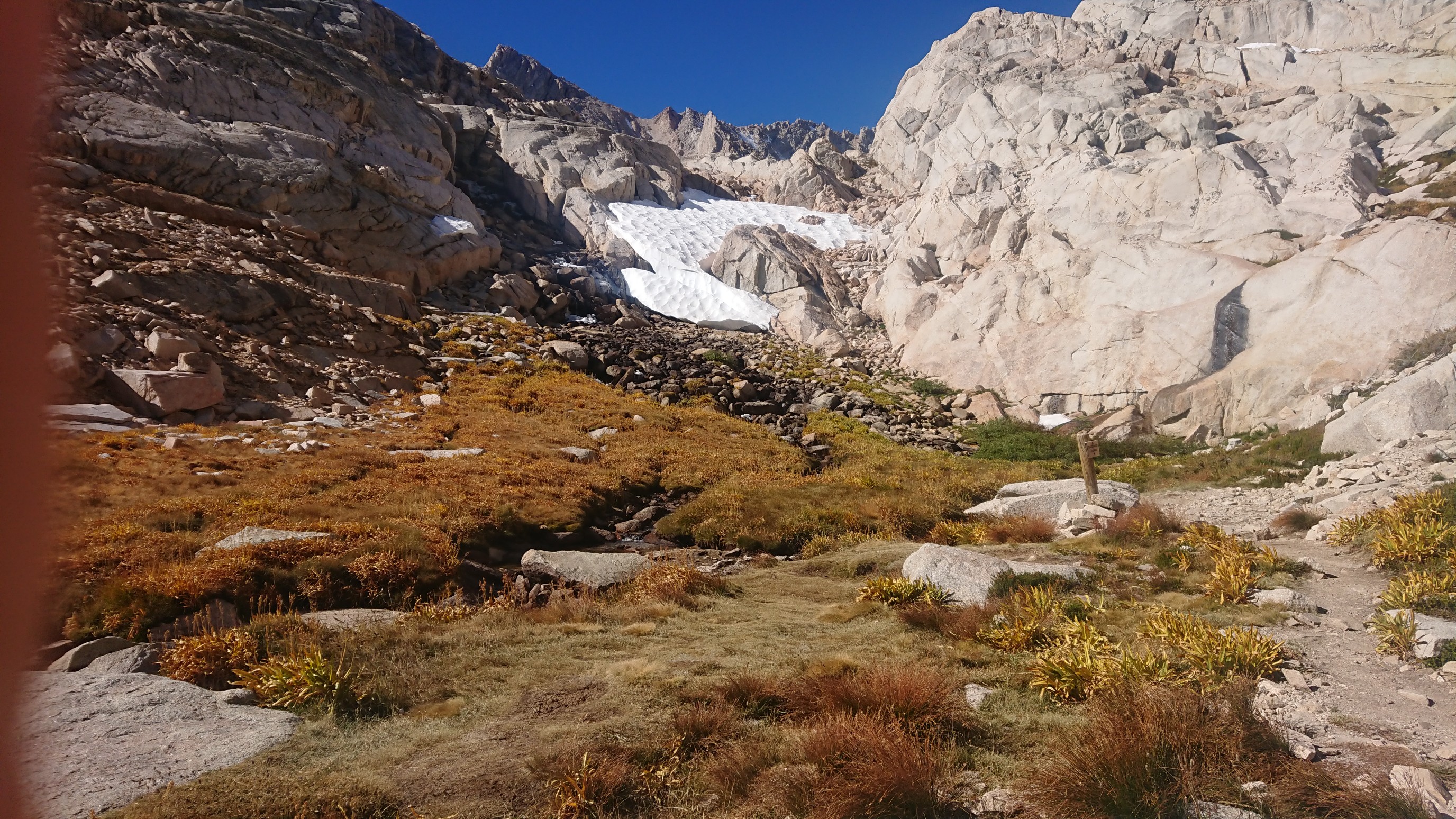
As I climbed higher, there were more of last season’s snow patches scattered around.
I passed a tarn (alpine lake) at 12,000ft elevation.
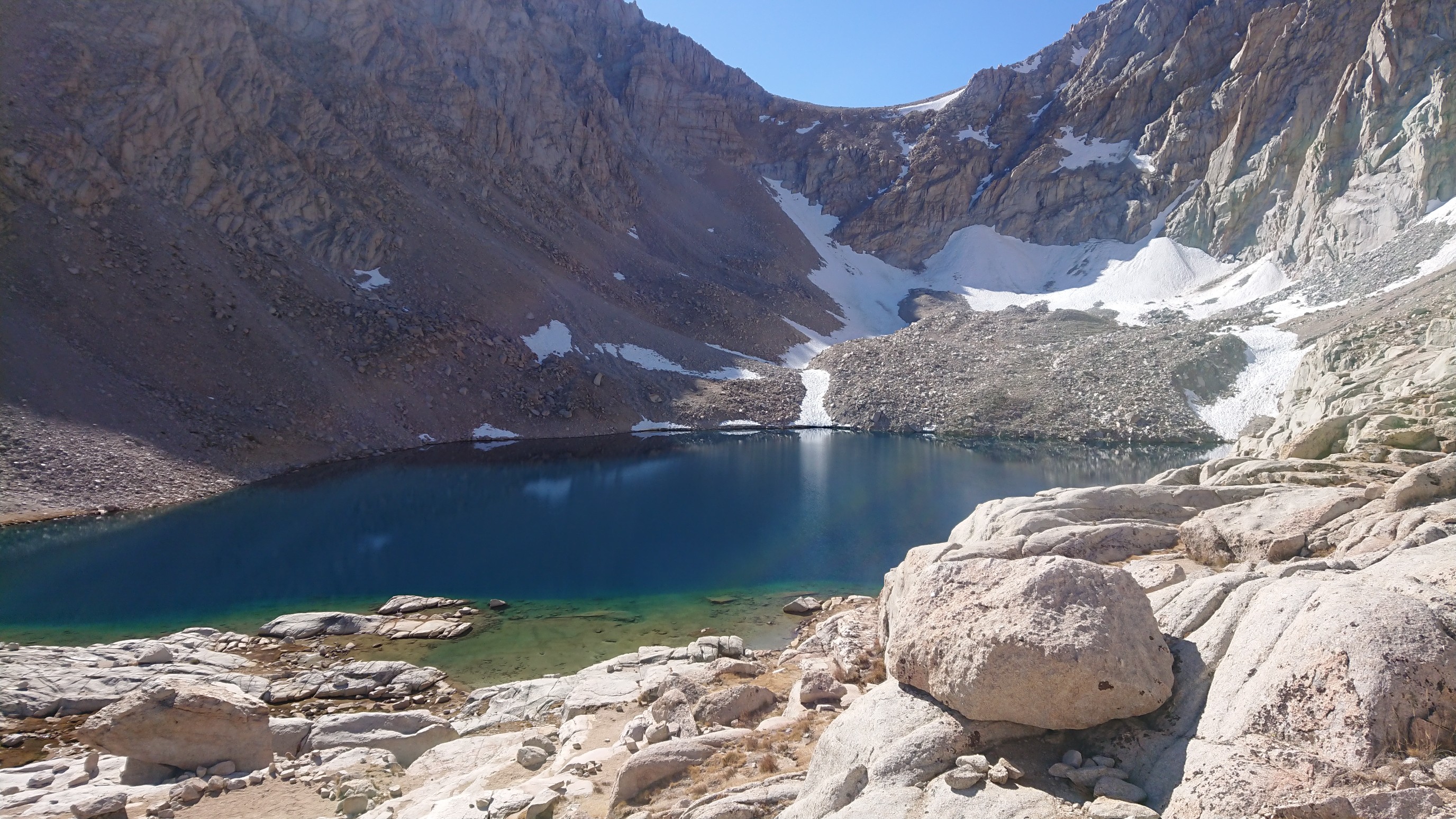
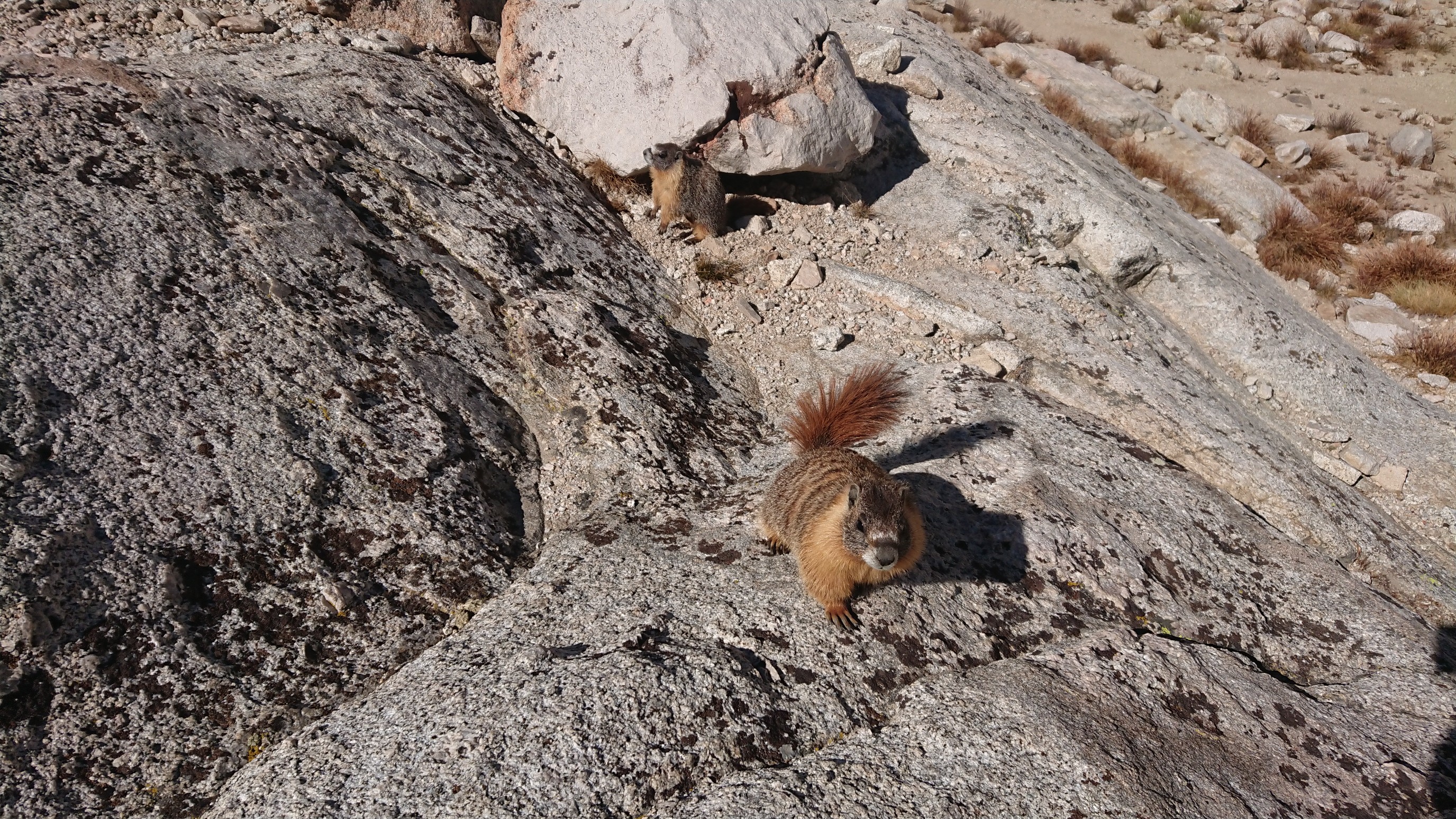
There were about a dozen tents setup there, and quite a few marmots too!
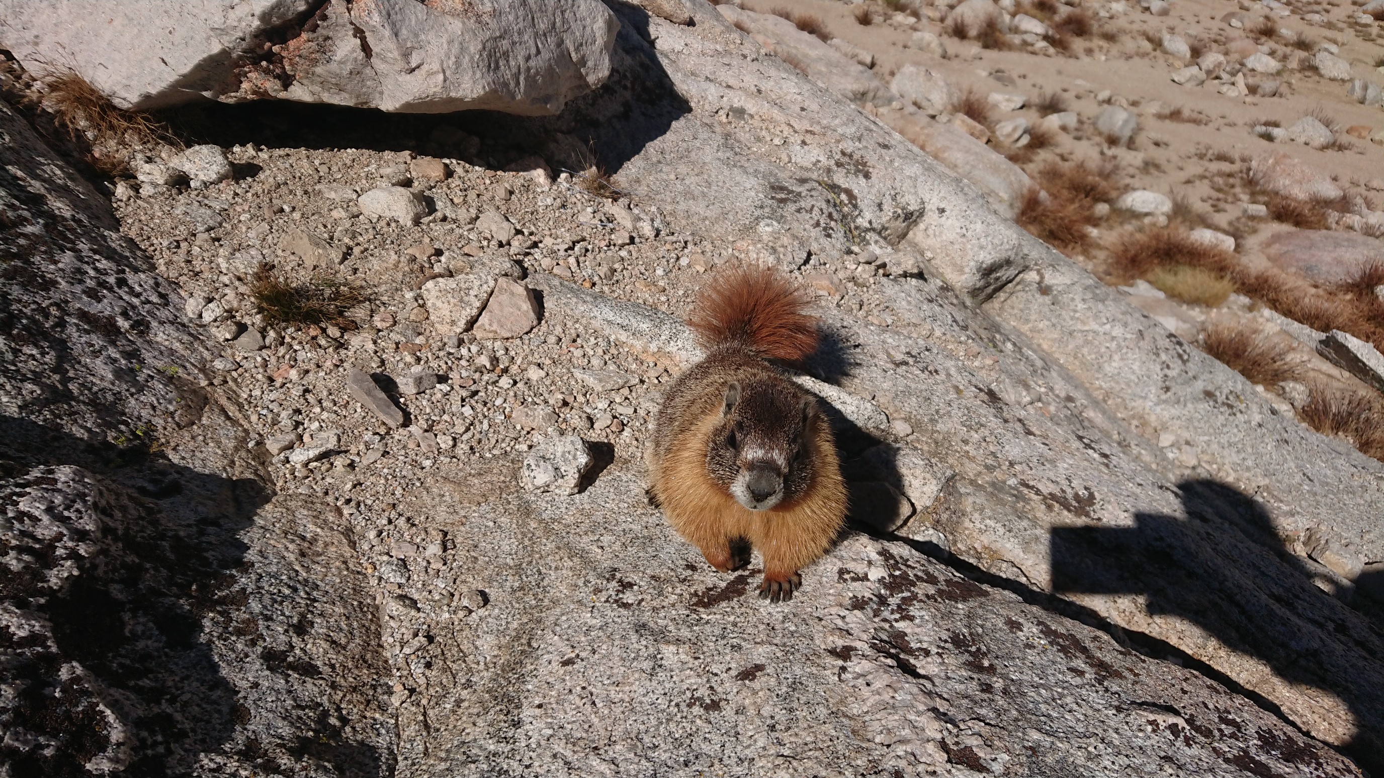
Then a second marmot came out to say hi.
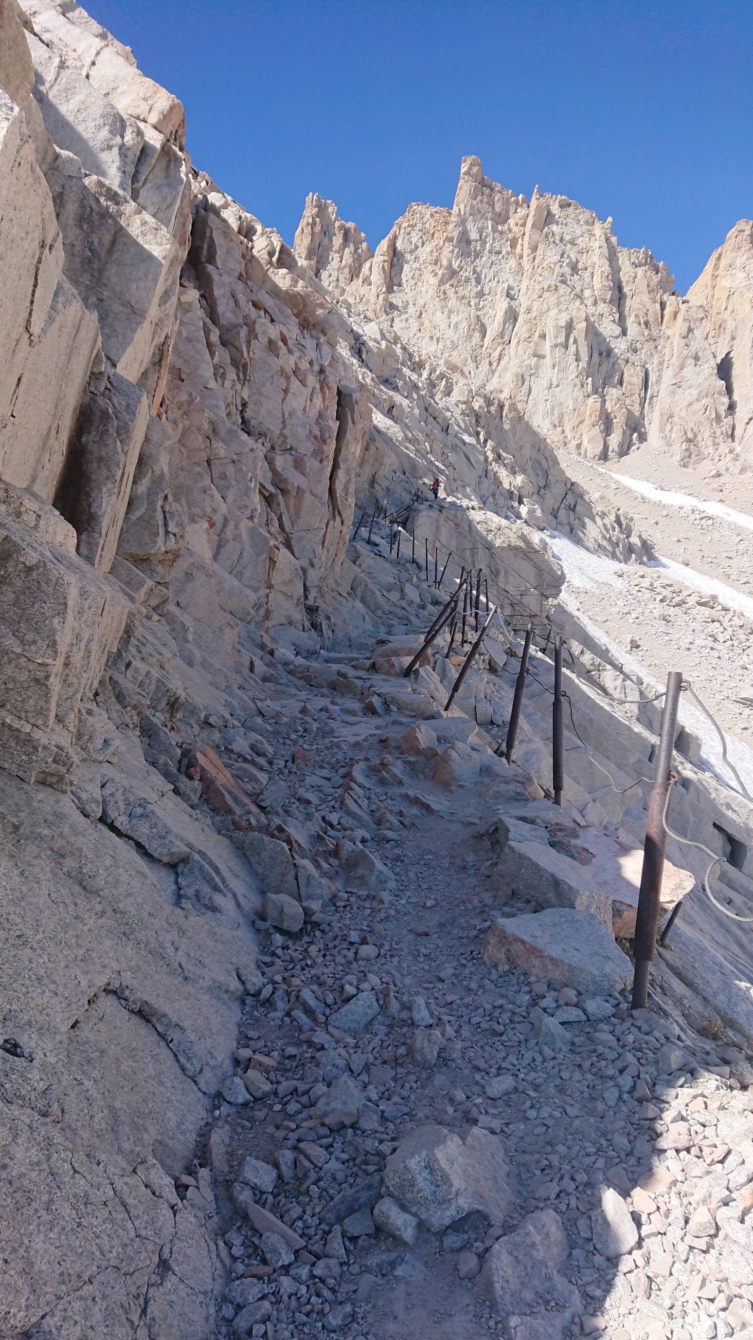
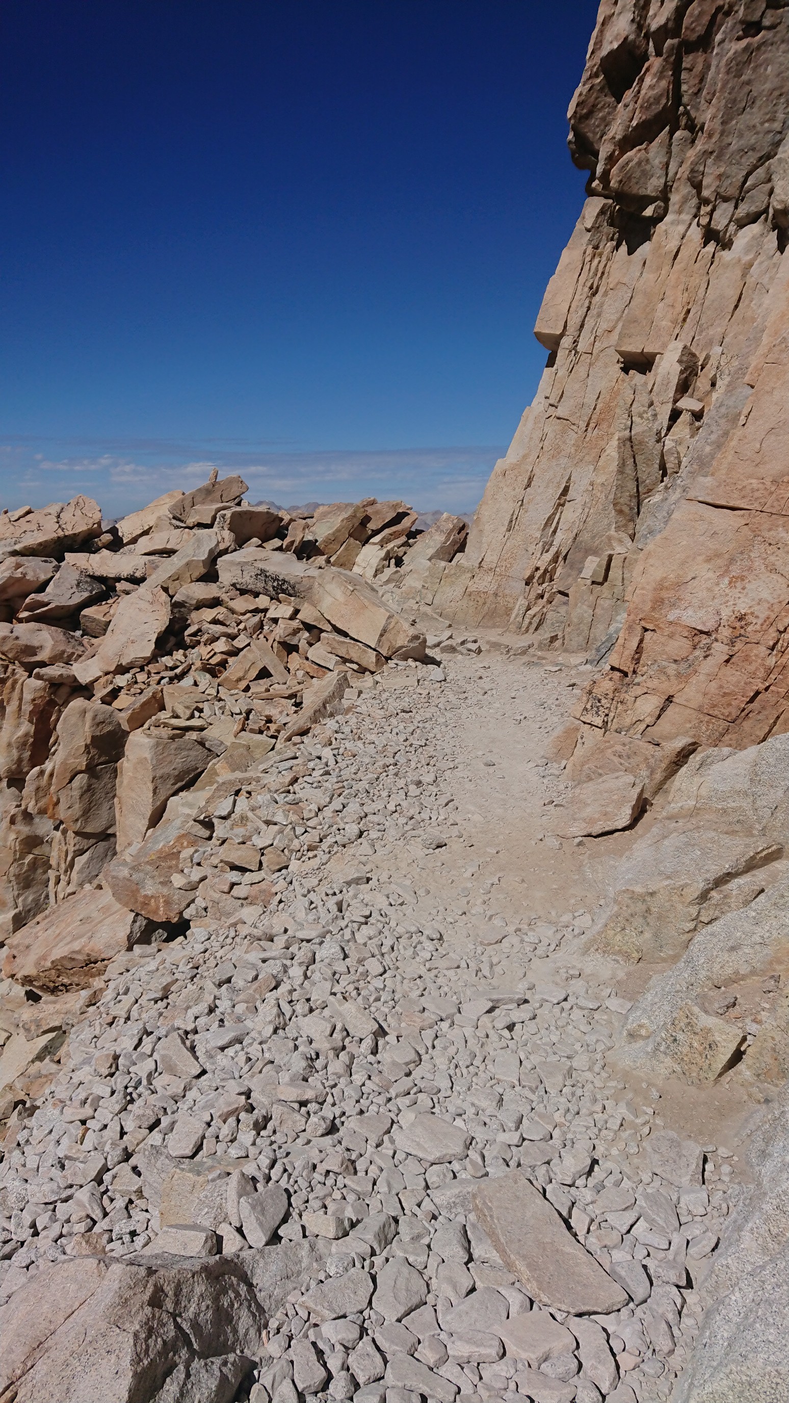
After the lake, the trail weaved up the mountain with 98 switchbacks (I counted). One particularly exposed section even had a railing!
I finally came to the top of the switchbacks at 13,500ft and also the crest of the ridge.
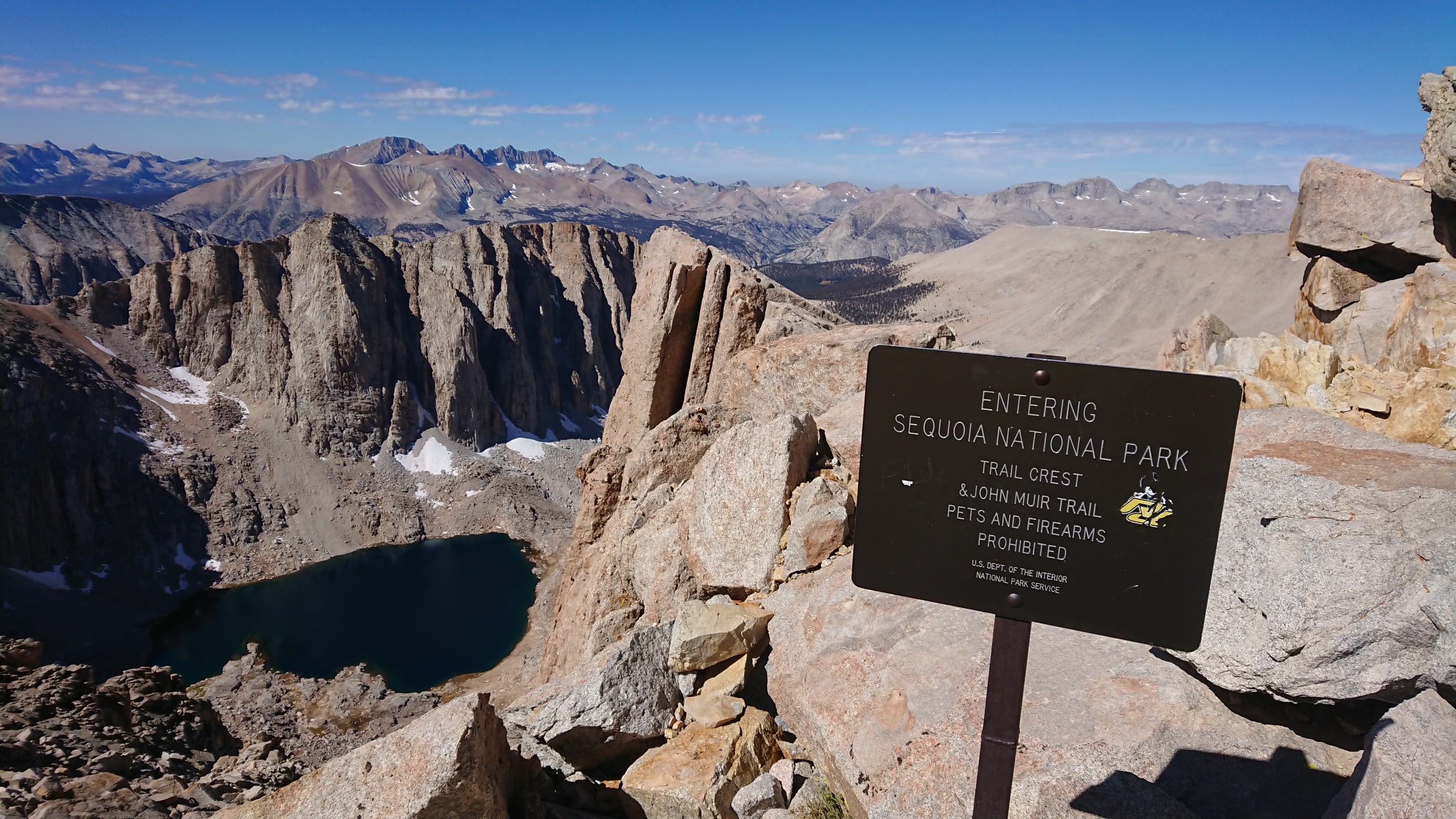
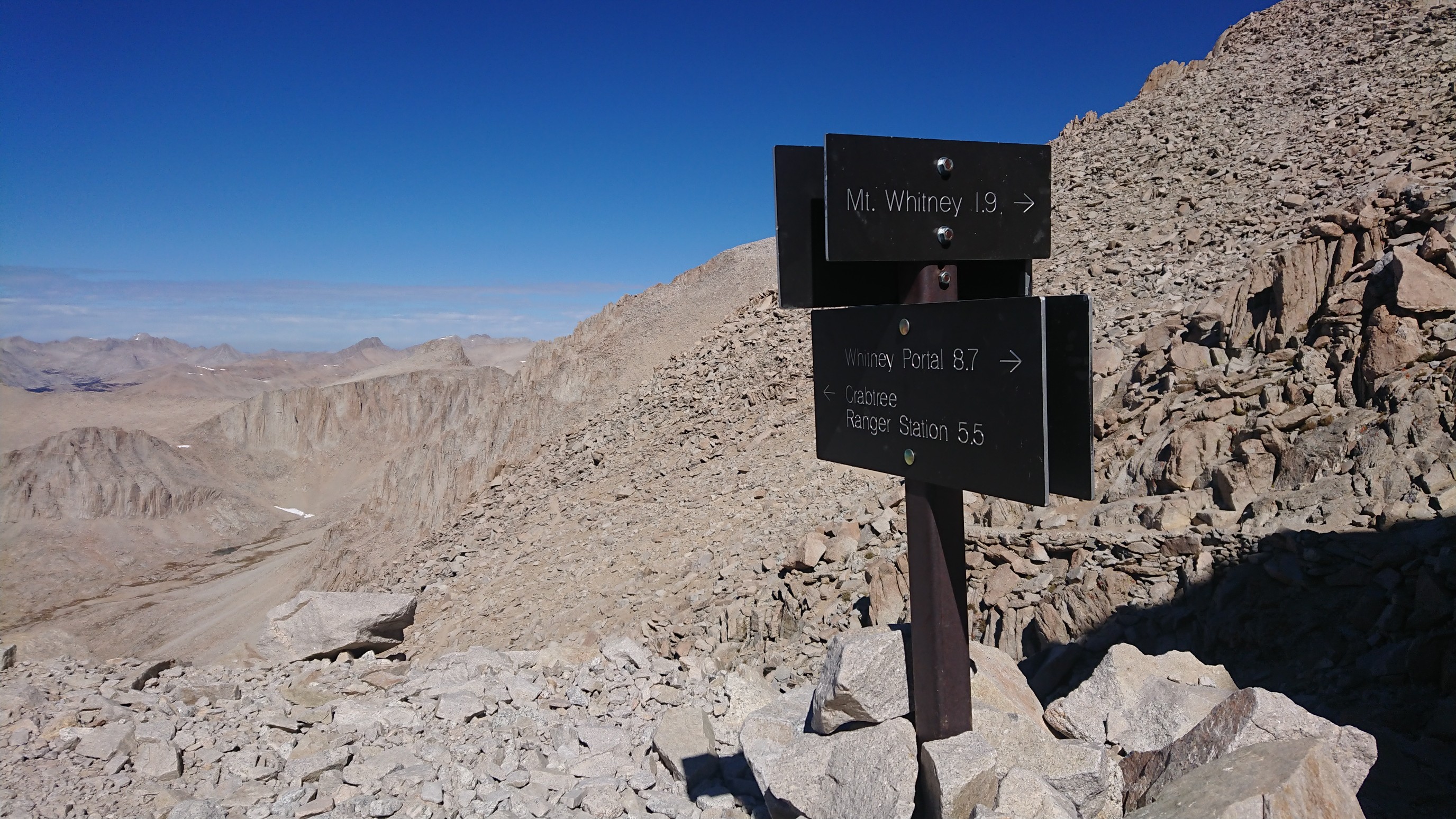
Looking west into Crabtree Meadows and the PCT.
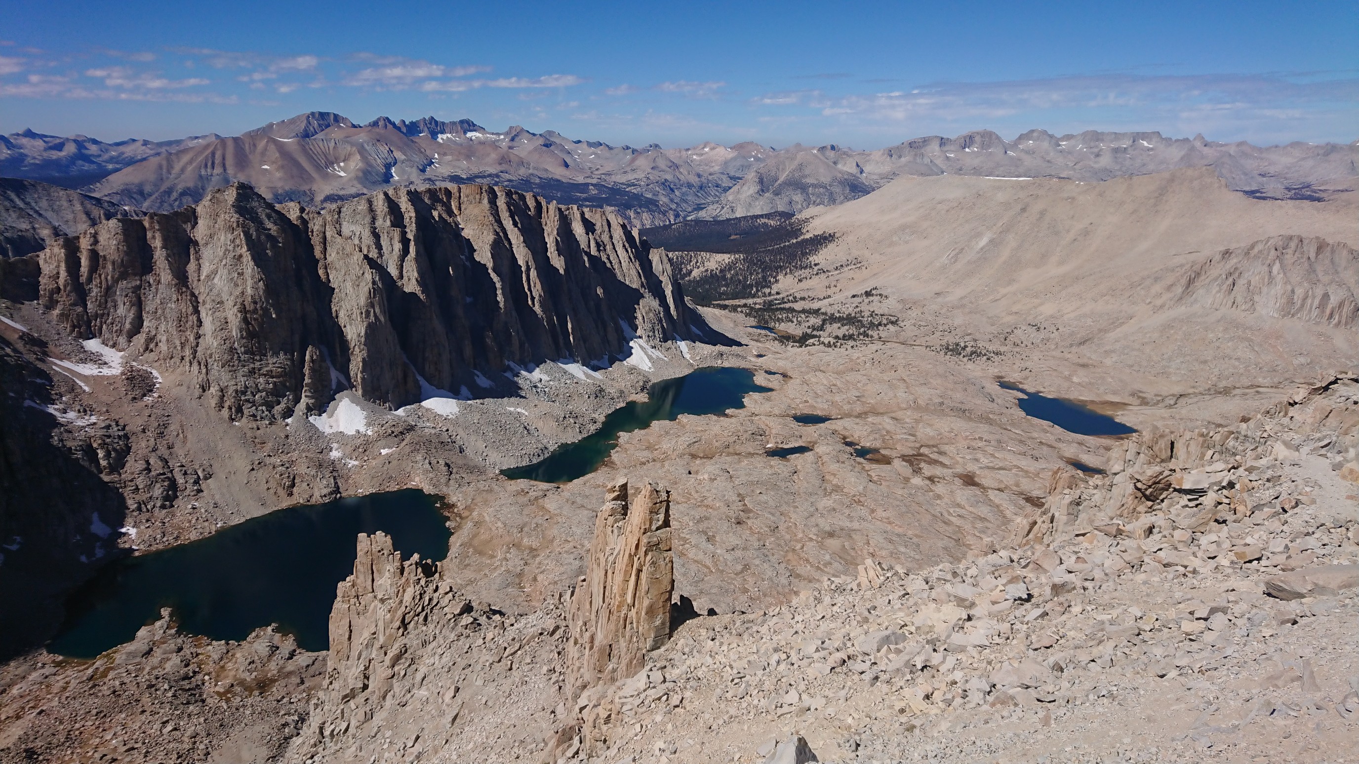
The trail joined the JMT (John Muir Trail) for the final 2mi/3km to the summit.
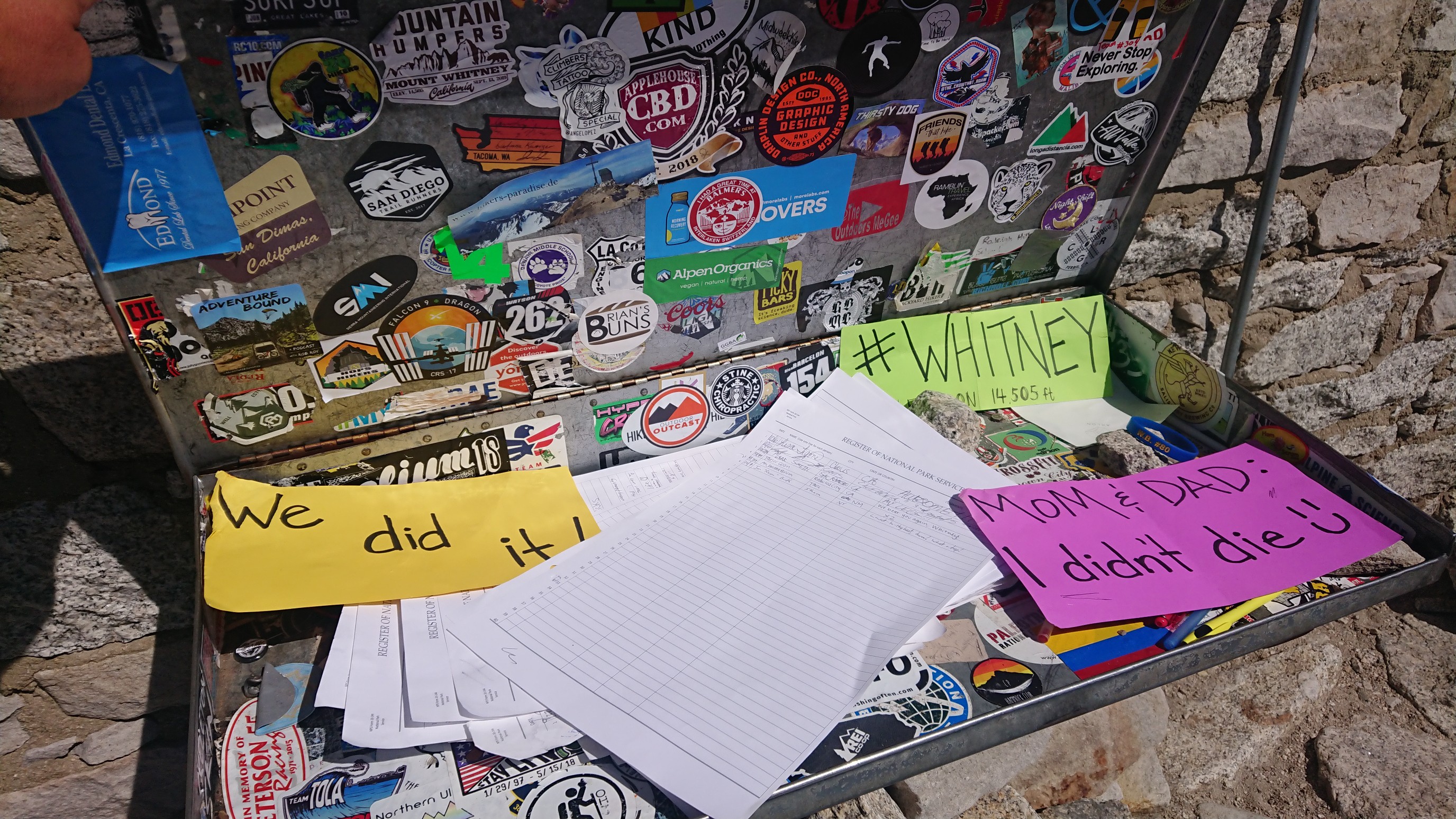
I made it to the summit at 12:30pm, five hours after leaving Whitney Portal. Ouch. The summit is the western terminus of the L2H route (also the southern terminus of the JMT). The summit register was entertaining.
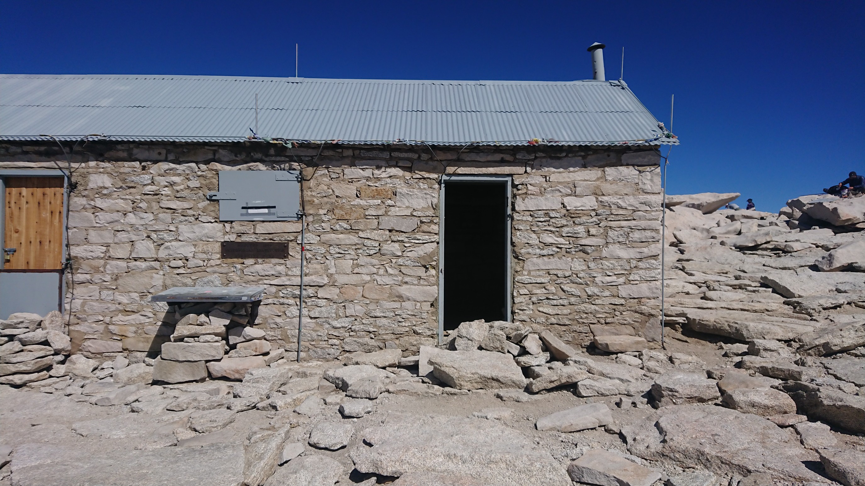
The usual summit shelter building was still there.
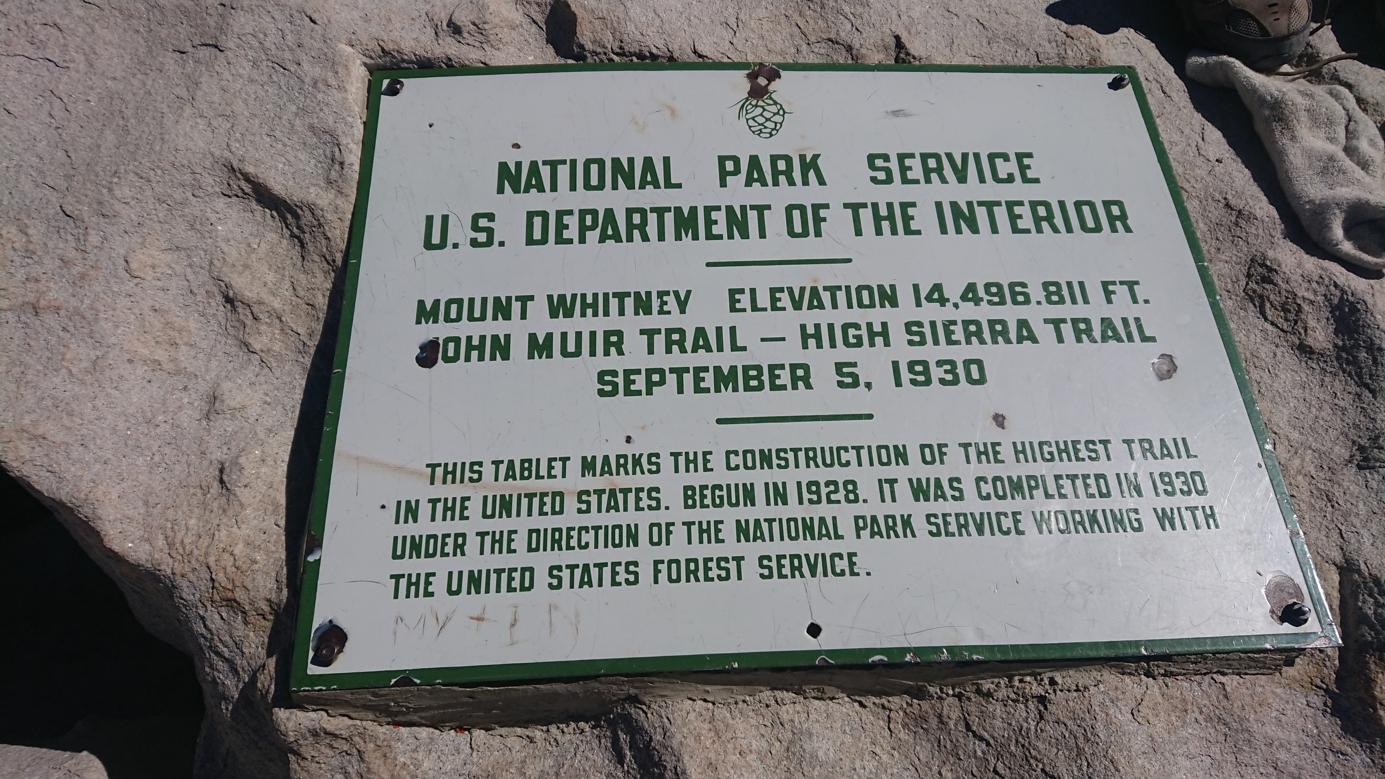
Summit plaque.
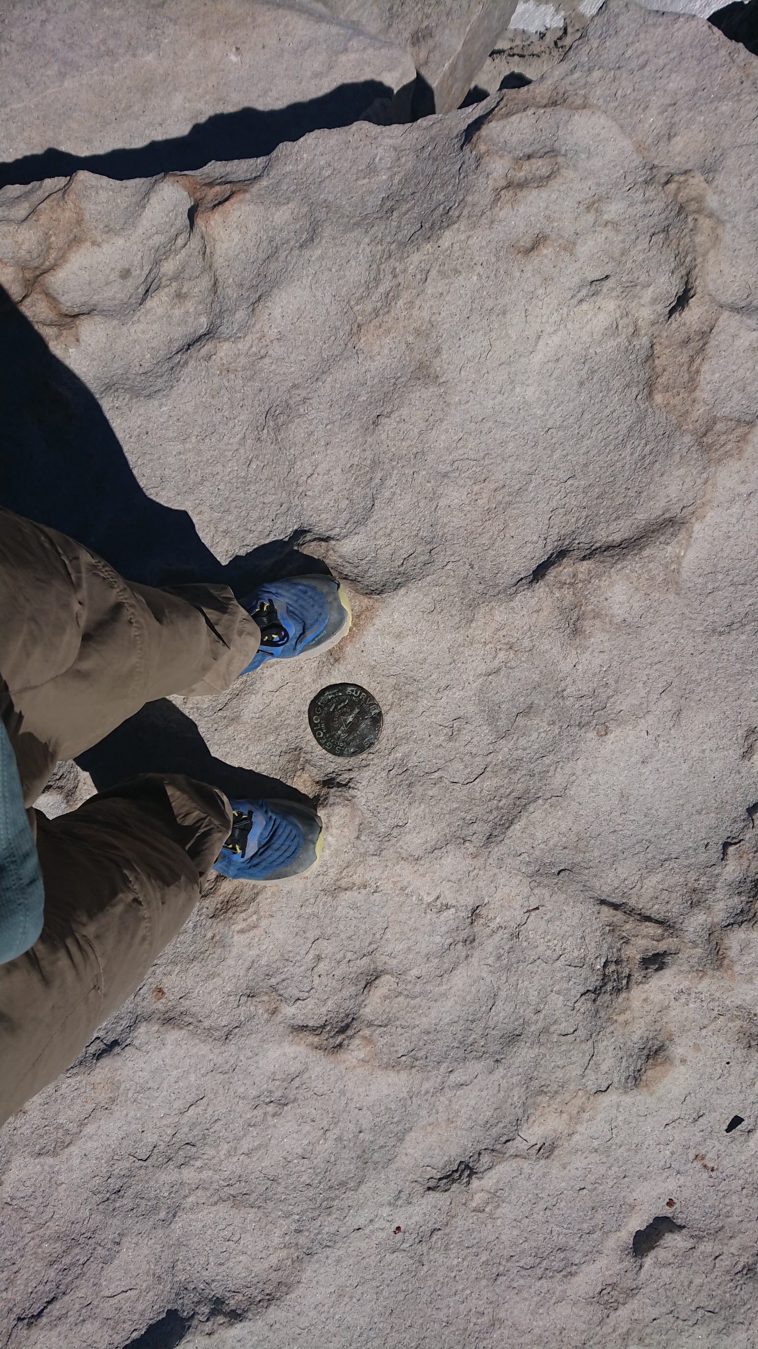
The requisite benchmark photo.
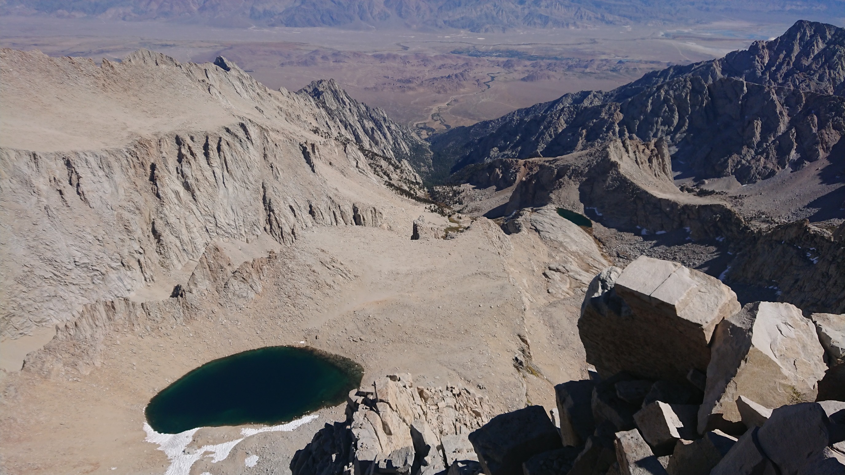
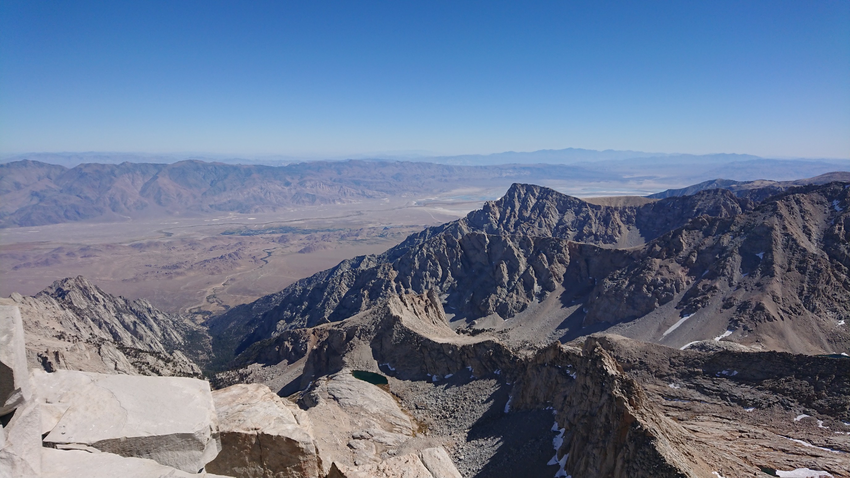
And lots of summit views!
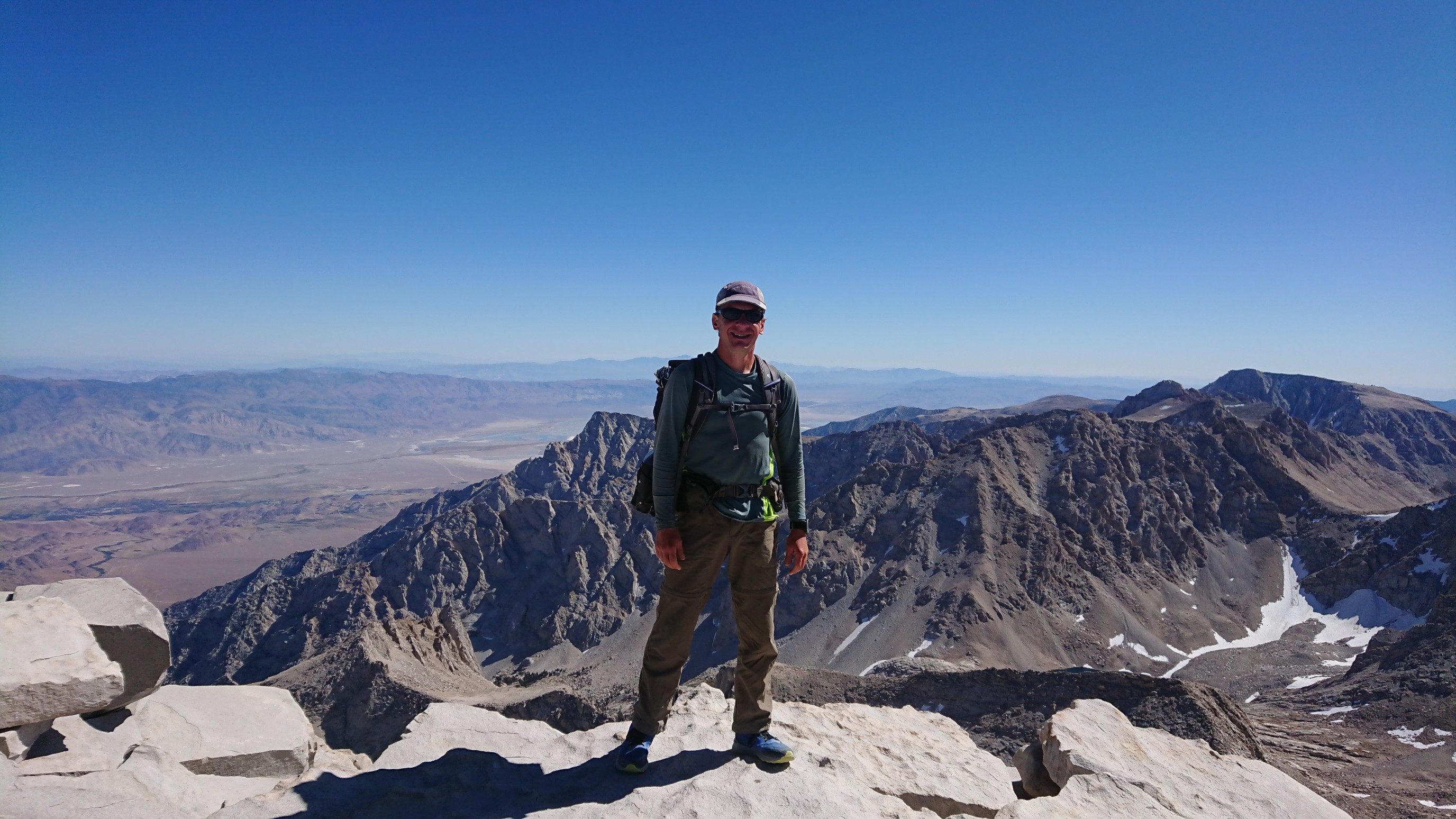
Panoramic photos never fit well on a webpage.

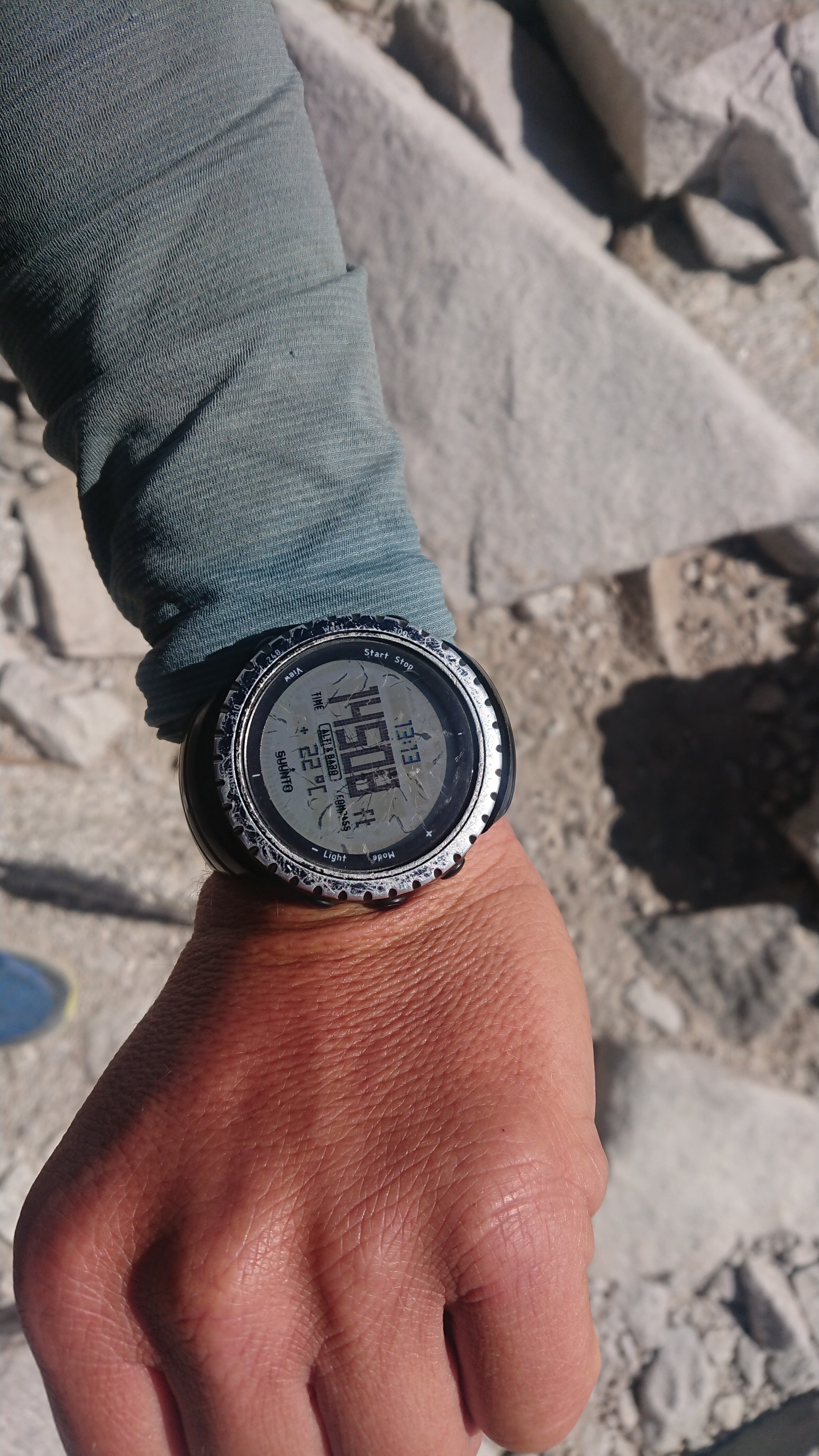
My watch says it’s high!
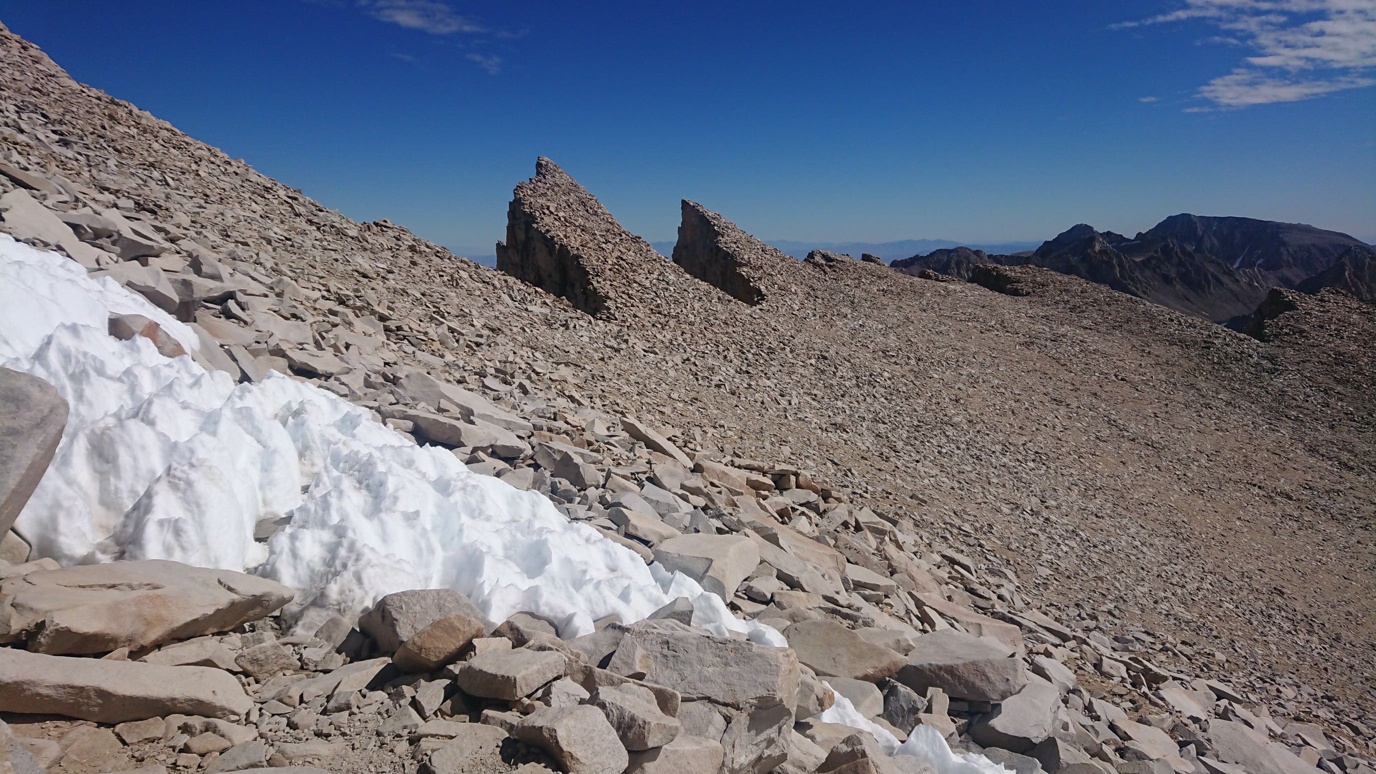
I left the summit at 1:15pm, and didn’t take many photos on the way down, I was pretty tired. This was a neat perspective though :
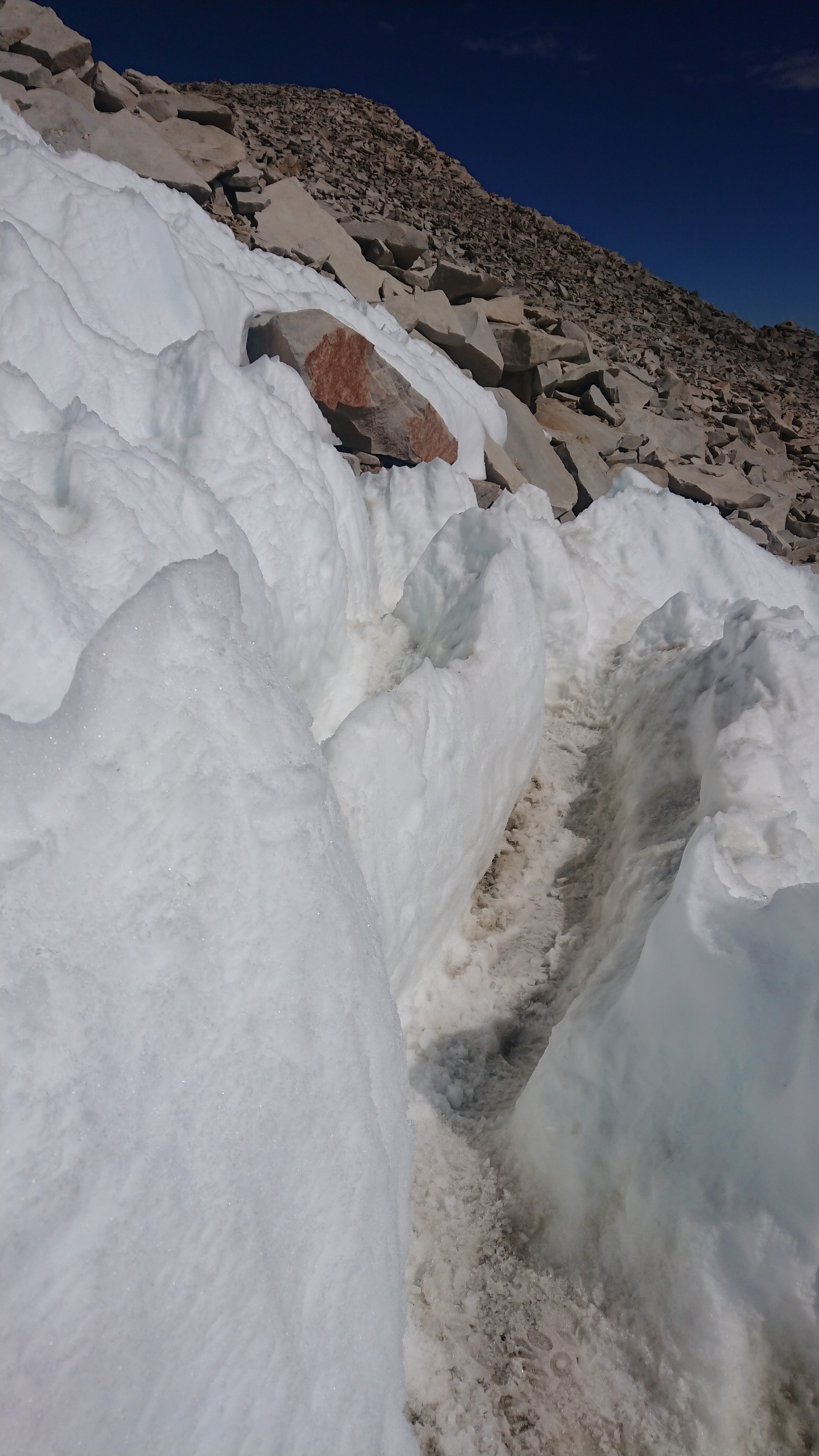
And then walking thru the only snow on the entire trail…
One last look west, at Guitar Lake (right) and Hitchcock Lakes (left).
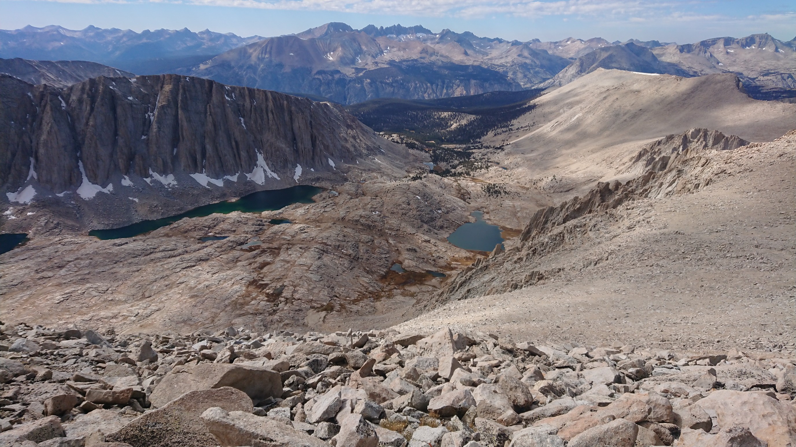
I dropped off the ridge top, and back down the 98 switchbacks to the lake, where I took a break.
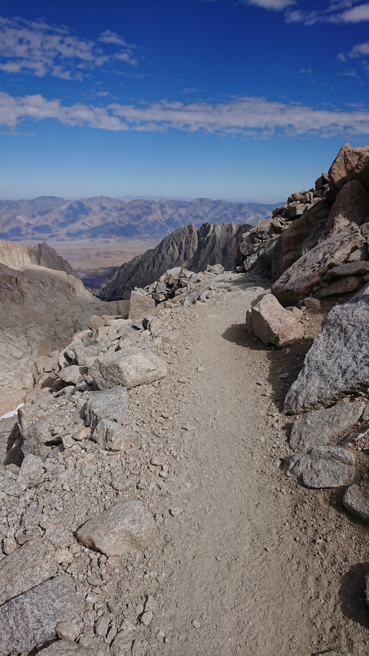
I made it back to the parking lot at 5:15pm, four hours after leaving the summit. The restaurant was open, but I avoided temptation and started hitching right away. There was only an hour of daylight to try and gat a ride back down to Lone Pine. I got a ride ten minutes later, from the first car I saw. I was at the hostel in Lone Pine 20 minutes later, and then promptly went to the Whitney diner for food and cold beverages. I was mildly dehydrated from altitude and exertion, but the food, four iced teas, and ice cream sundae really helped!
The Lowest-to-highest route was terrific, and much more diverse than I had imagined. Highly recommended!
So cool to follow your footsteps to an area unavailable to most hikers.