Sunday June 28, 20.7mi/33.3km
Tarn at OR/CA border (99.1/5160ft) to Devils Peak Ridge/PCT (119.8/3600ft) (CA)
I woke up to an entirely different view of my tarn. So foggy!
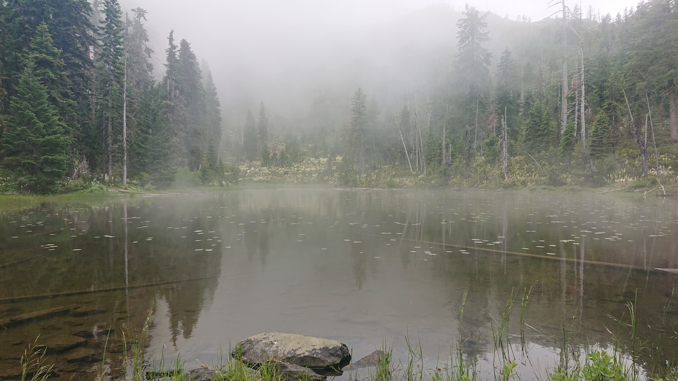
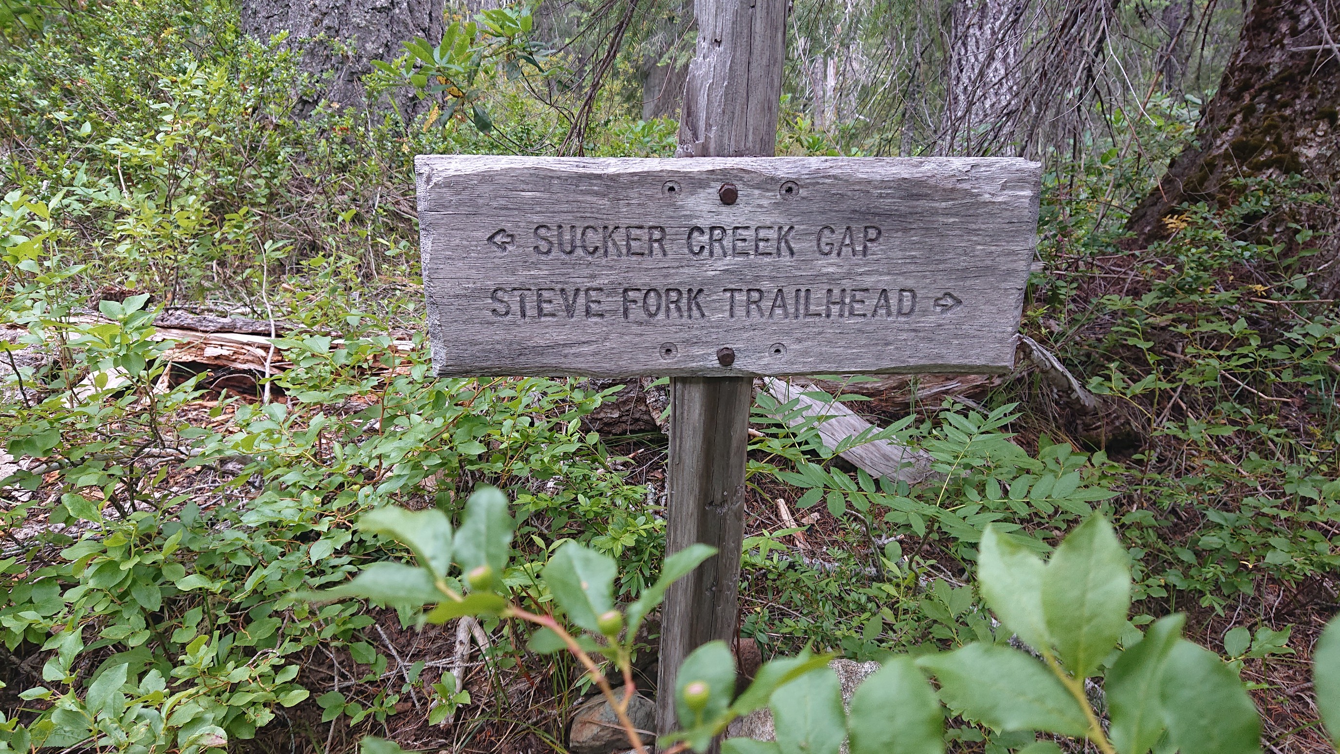
It was also kinda cold, like 10C/50F, so I got moving quickly! Some of these trails have really bizarre names.
By 9am, the fog had lifted but it was still very cloudy and cold.
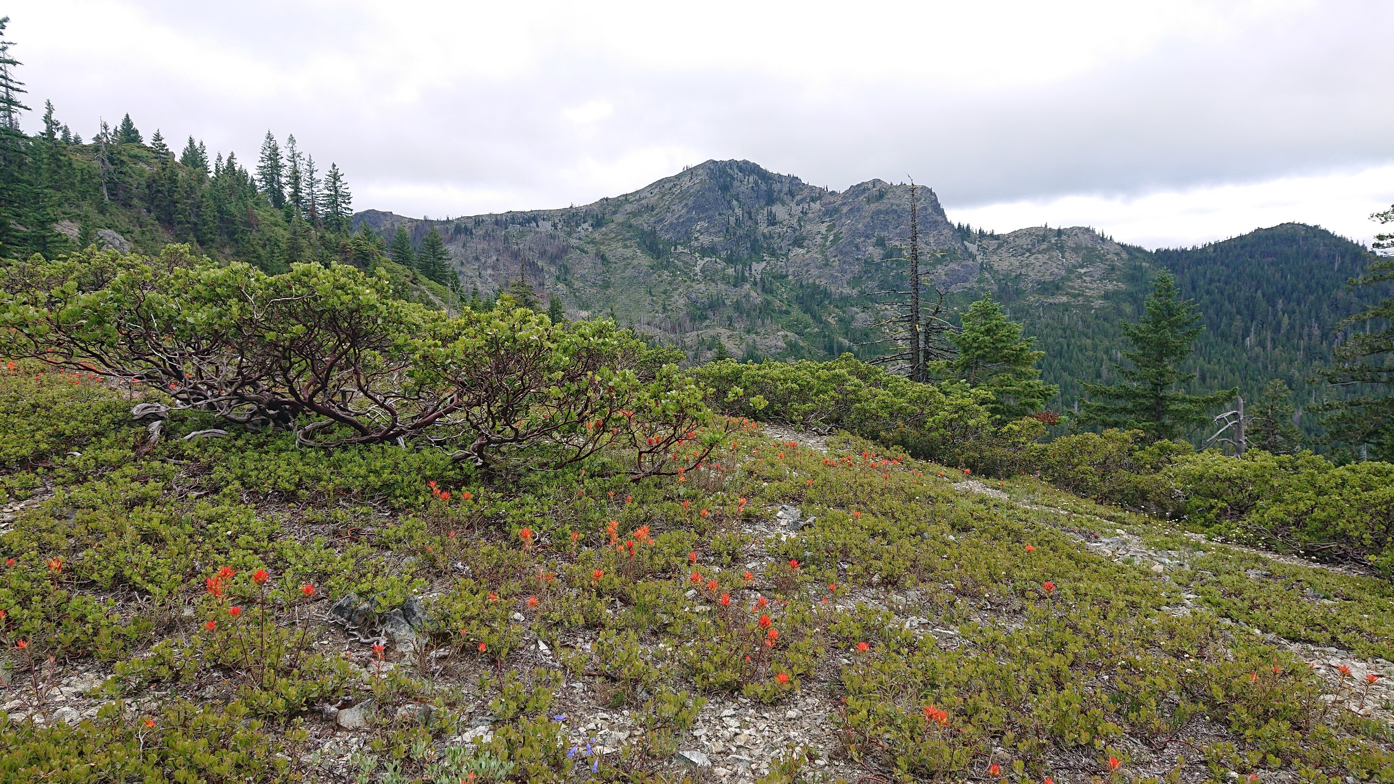
But the alpine wildflowers gave me something to look at.
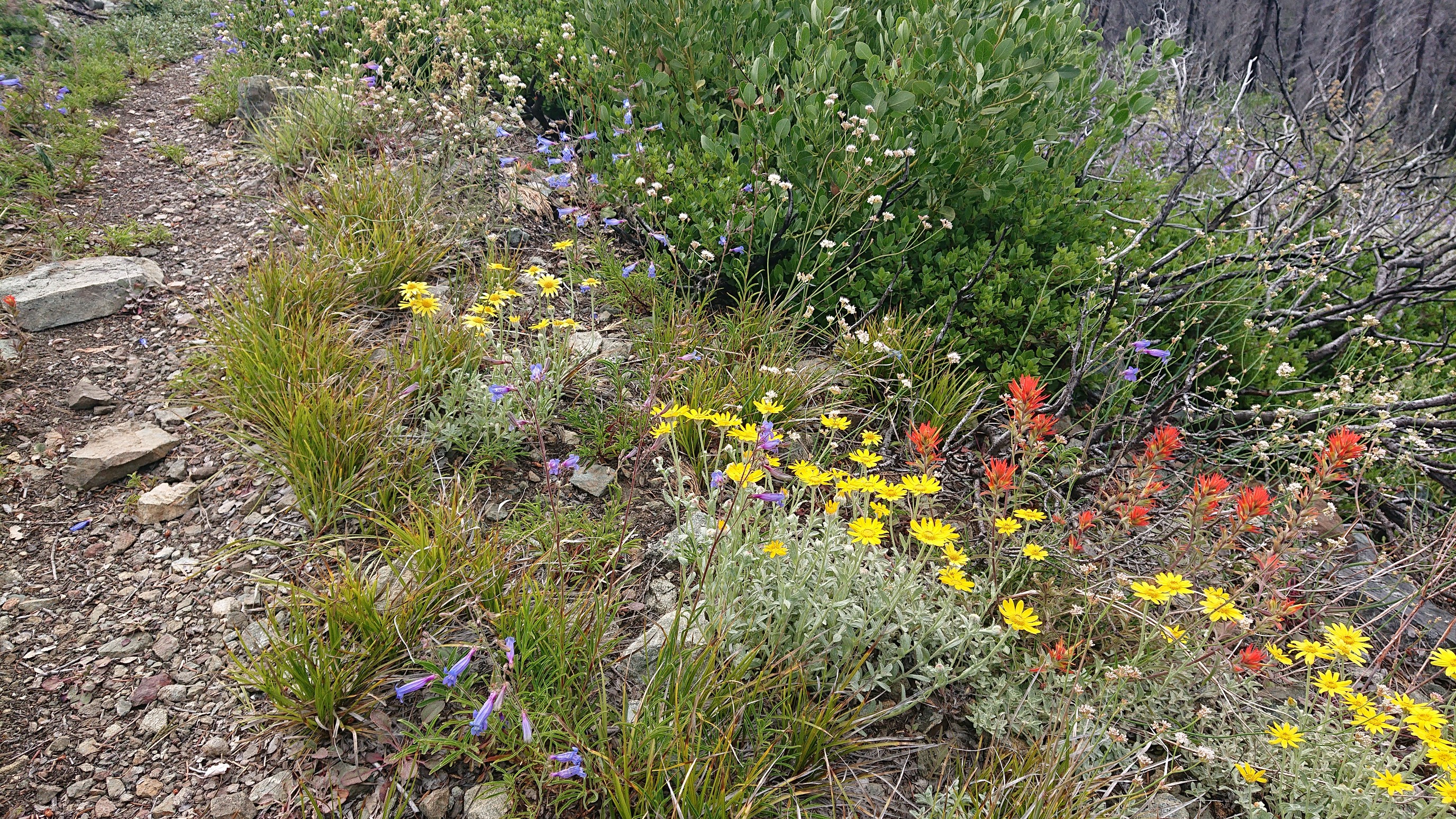
And by late morning the sky was getting sunnier.
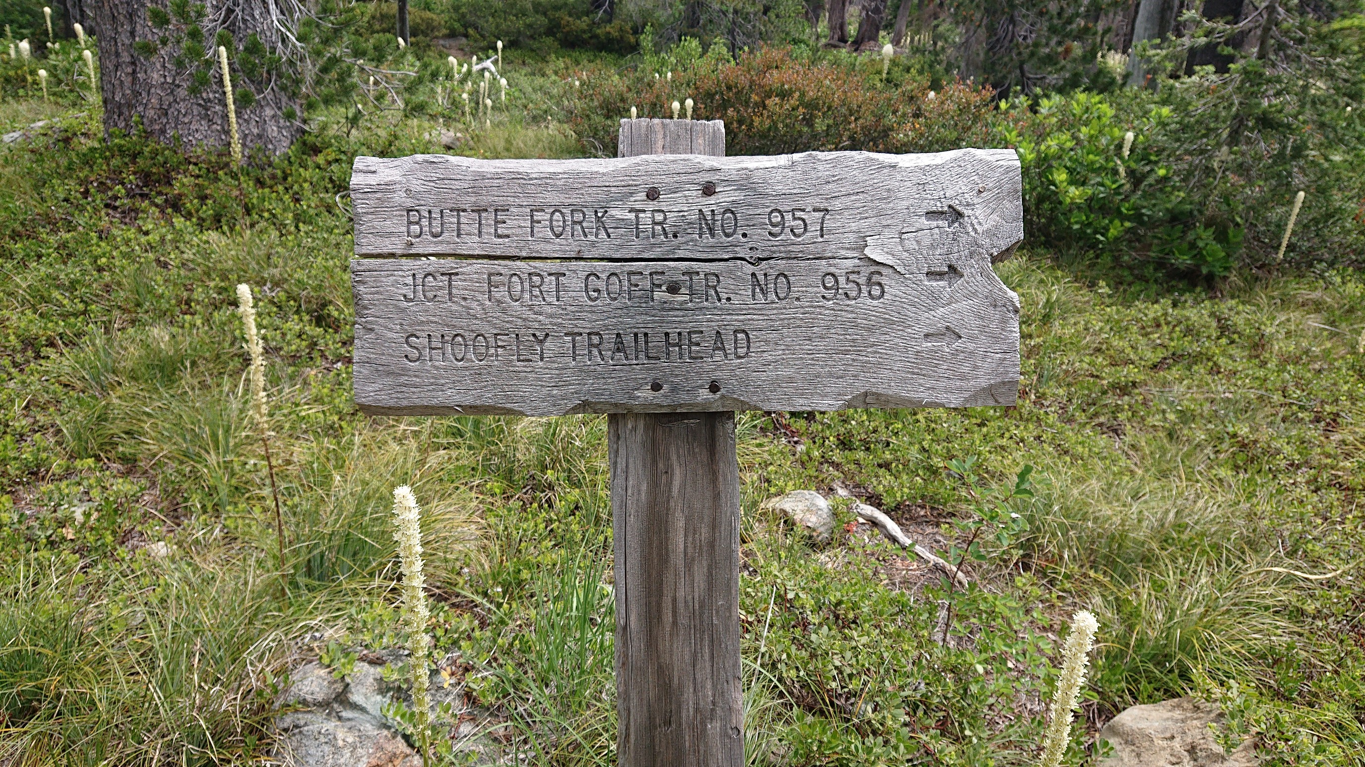
Another bizarre trail sign.
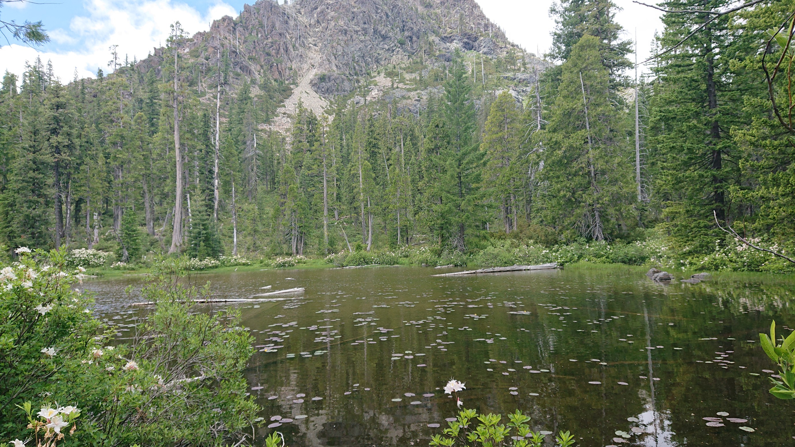
I passed by an unsigned junction, and out of curiosity I followed the side trail for a minute. Hidden pond!
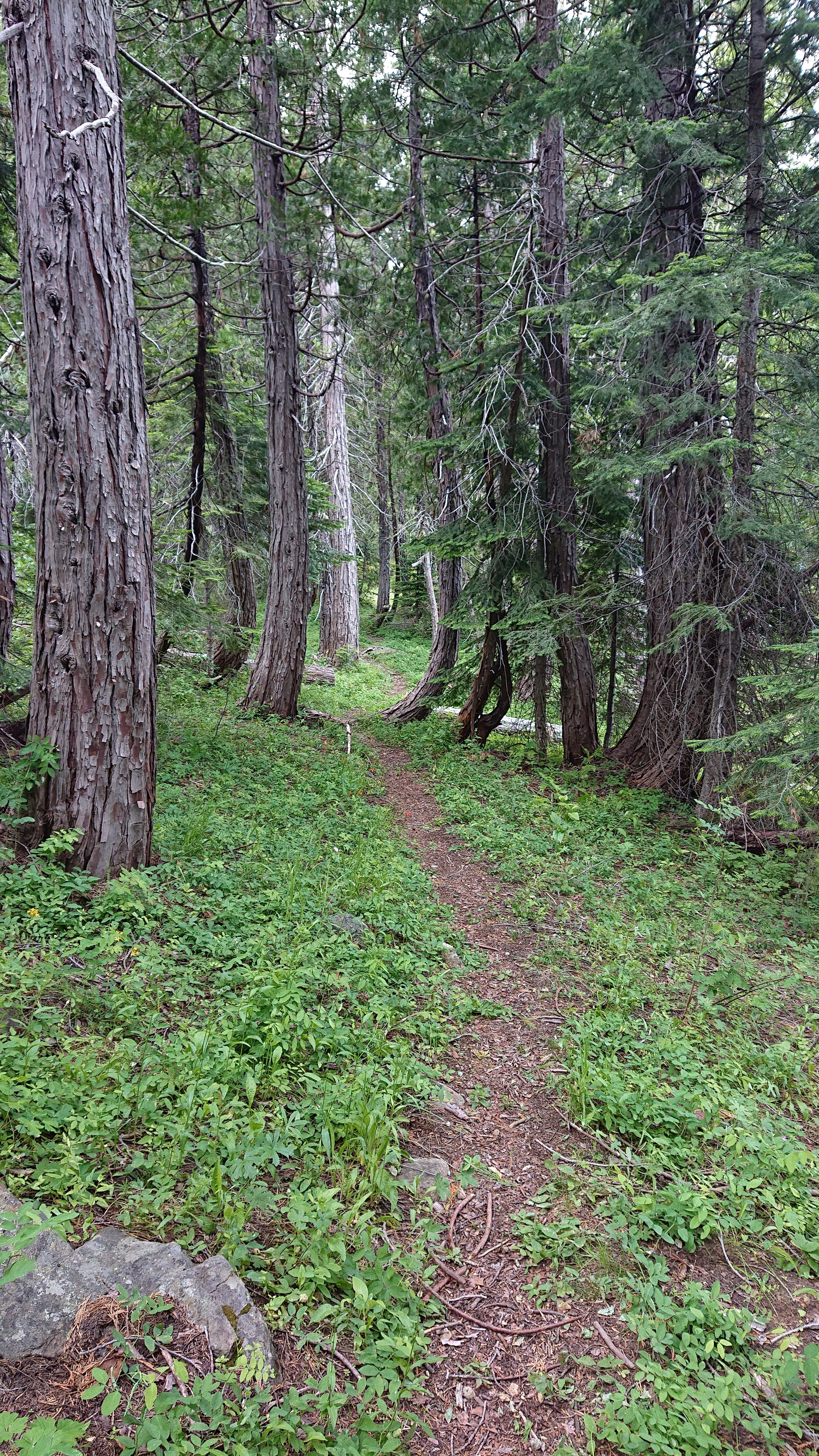
Soon after, I descended to a very green valley called Cedar Basin.
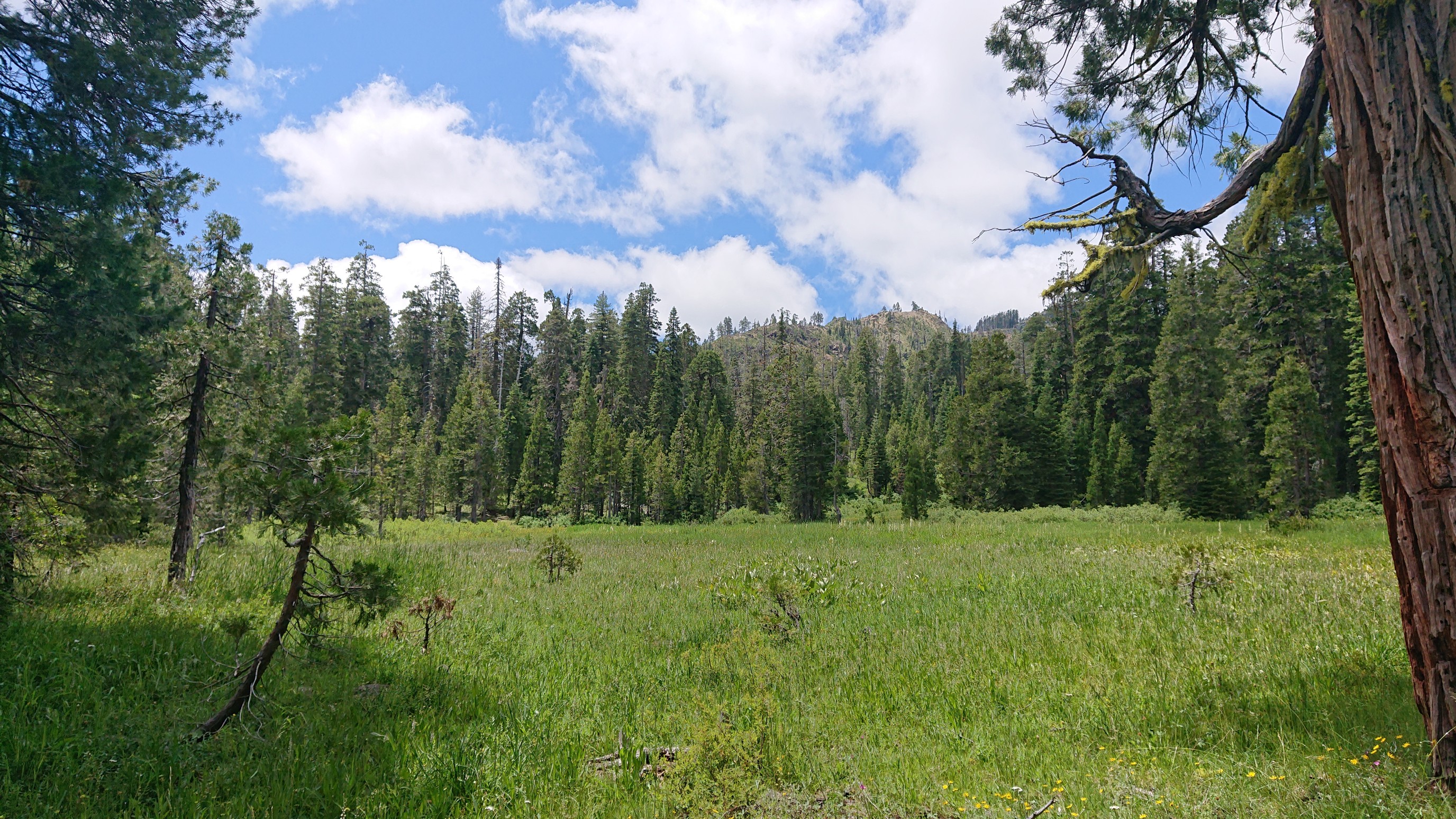
I had lunch and dried out my tent in the open sunny meadow. I usually avoid camping near lakes because of the moisture problems, but last night I was too lazy to keep walking.
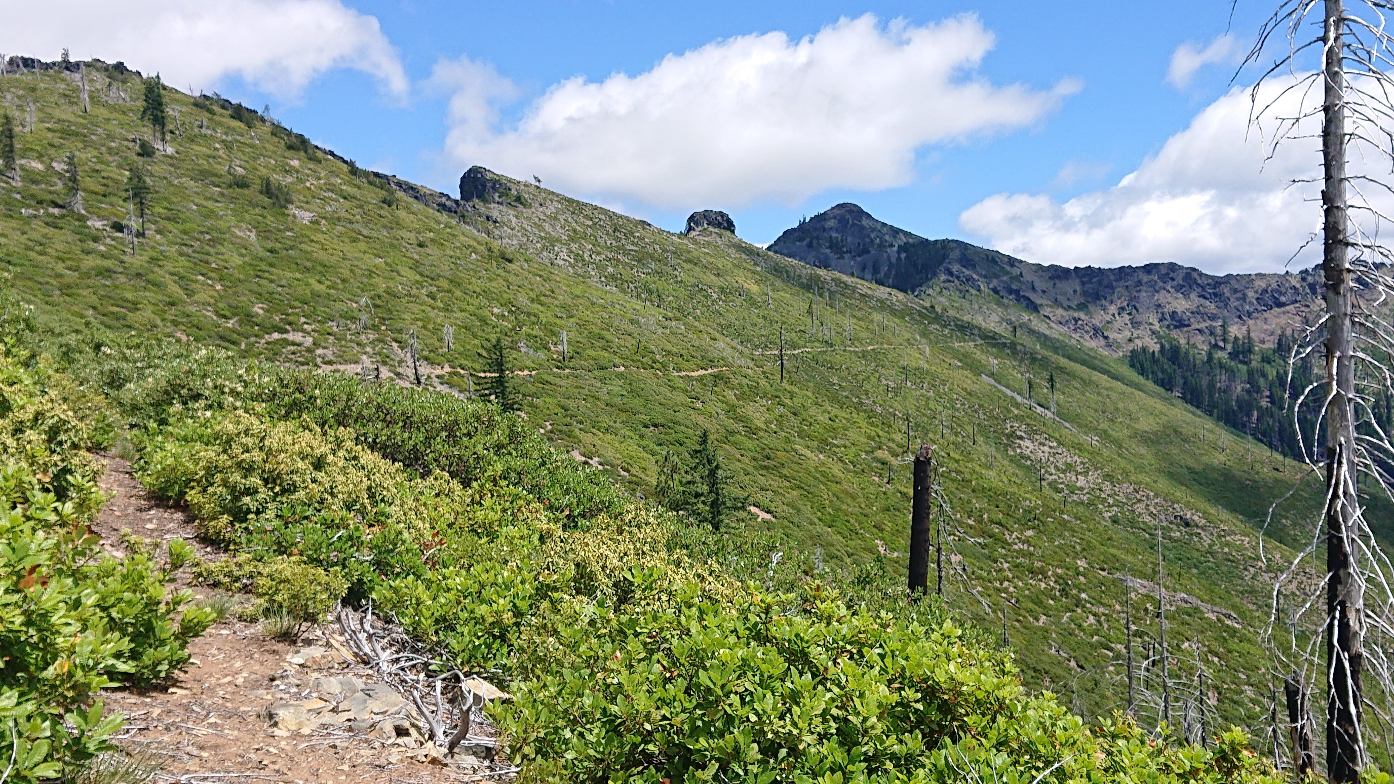
I climbed up to a ridgeline, and stayed there the rest of the day.
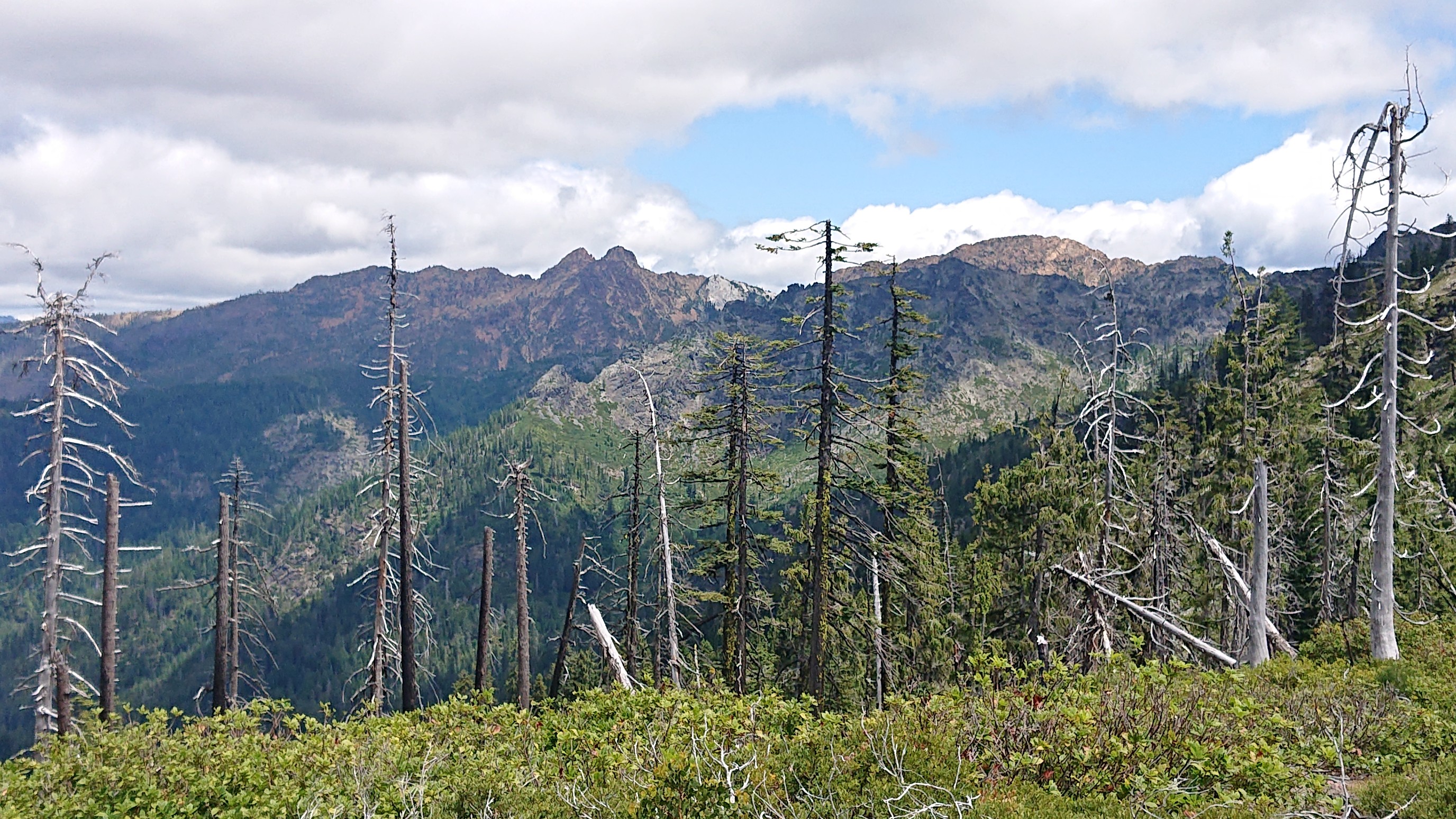
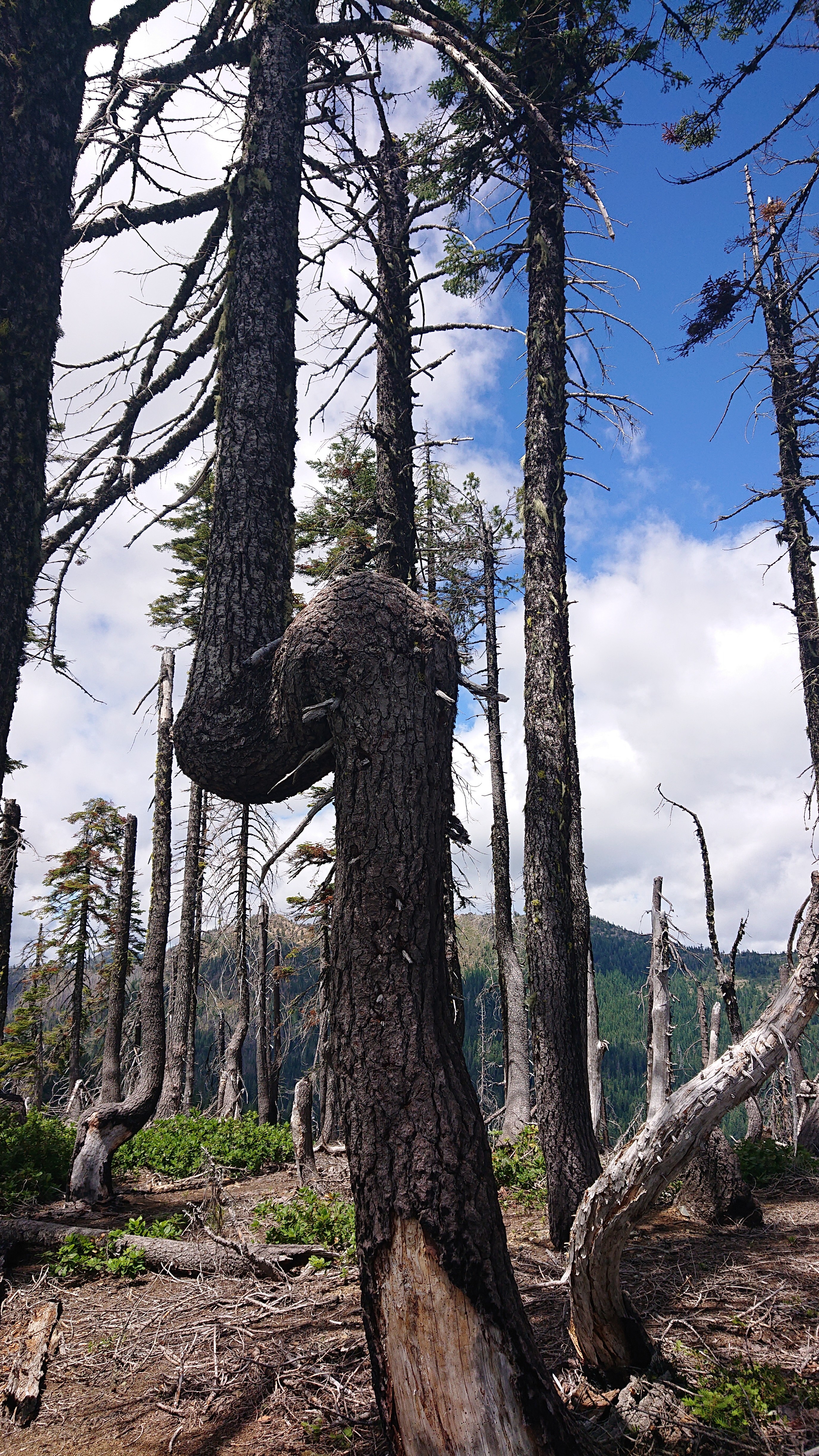
Why do trees do this? It looks so awkward!
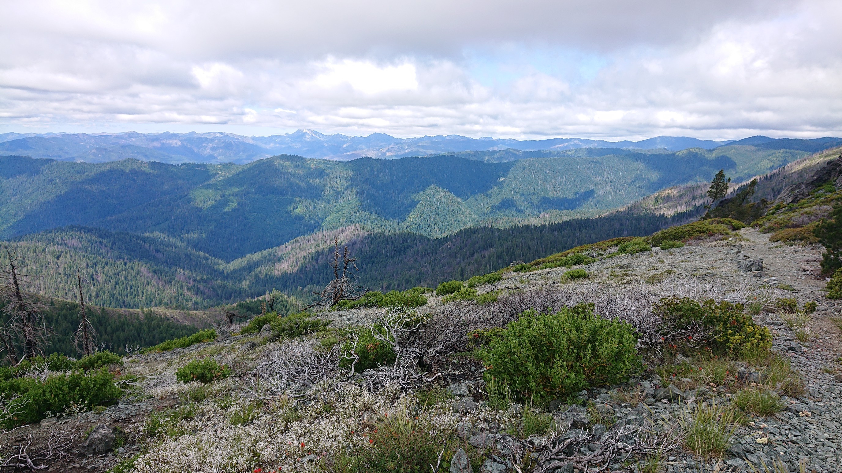
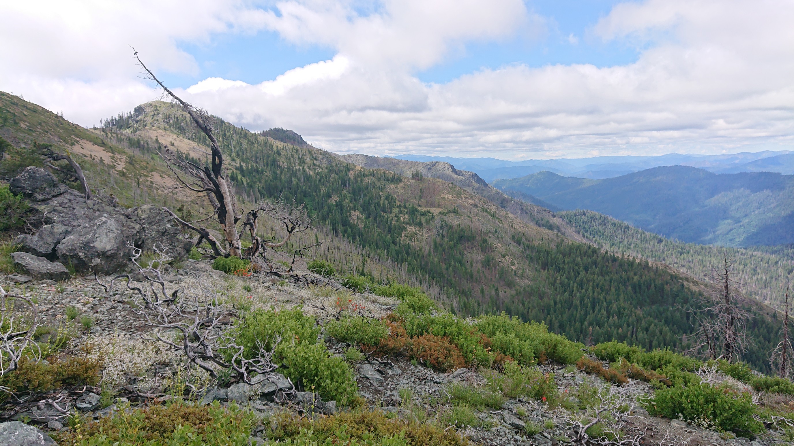
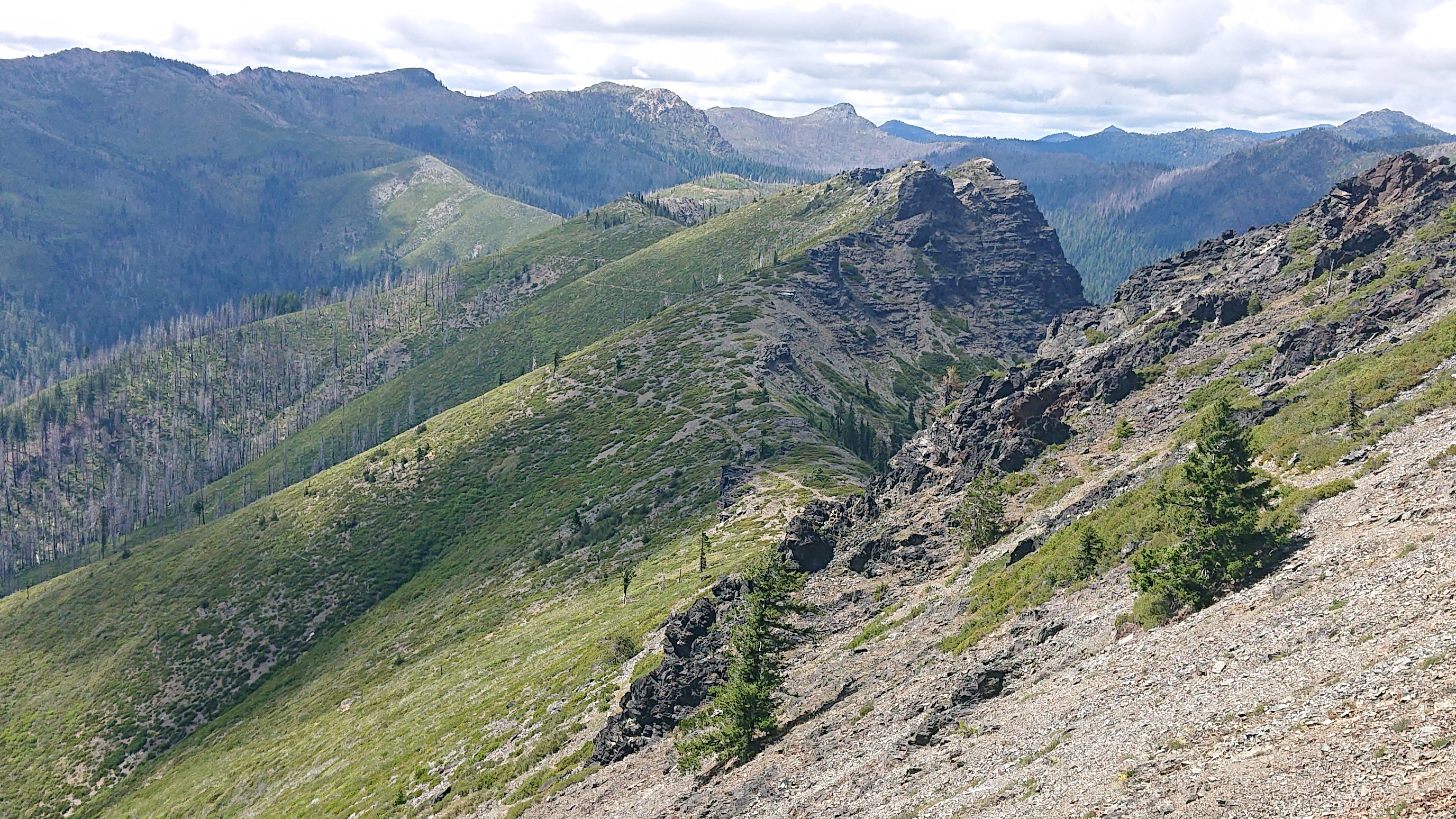
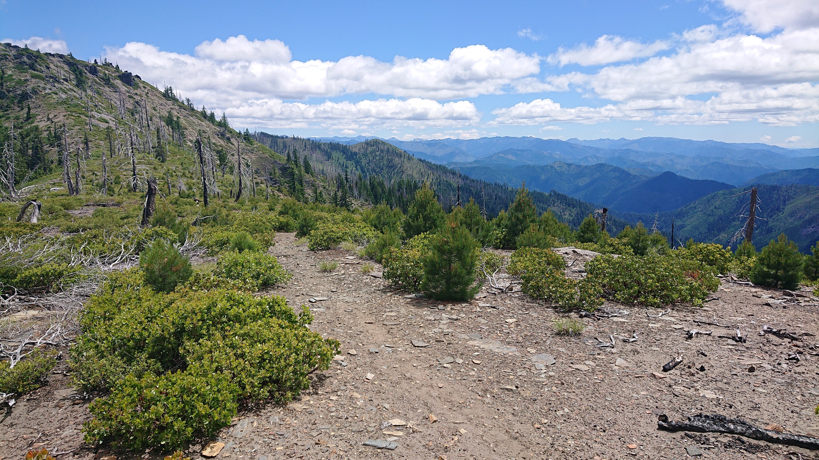
The views from the ridge continued to impress, and I was up there for most of the afternoon.
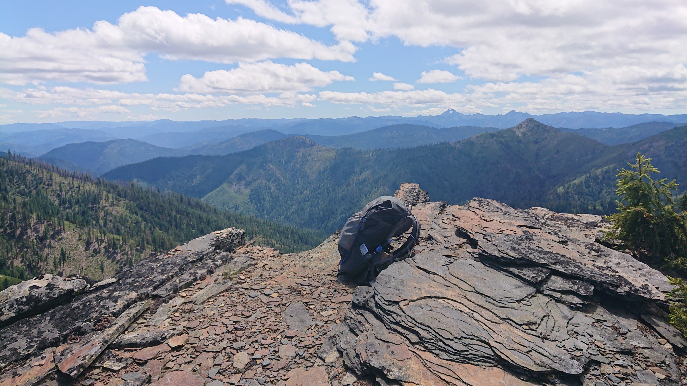
I took a long break on a flat rocky shelf before the final climb over Rattlesnake mountain.
The ridge walk ended when I came to a junction with the PCT.
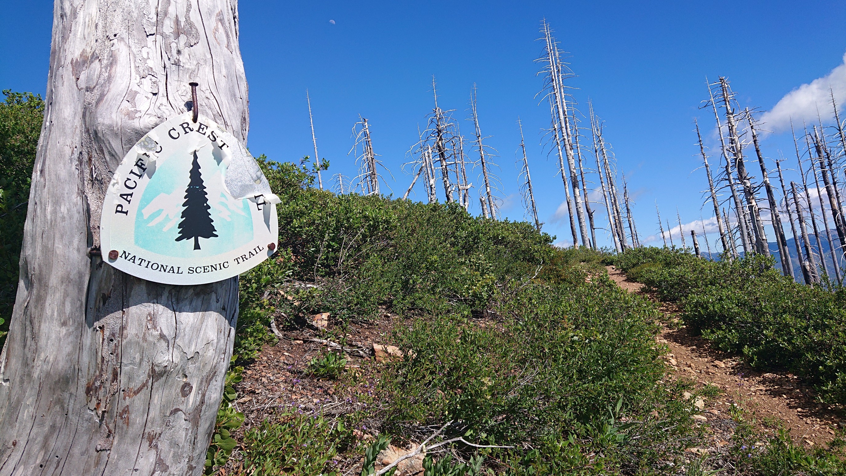
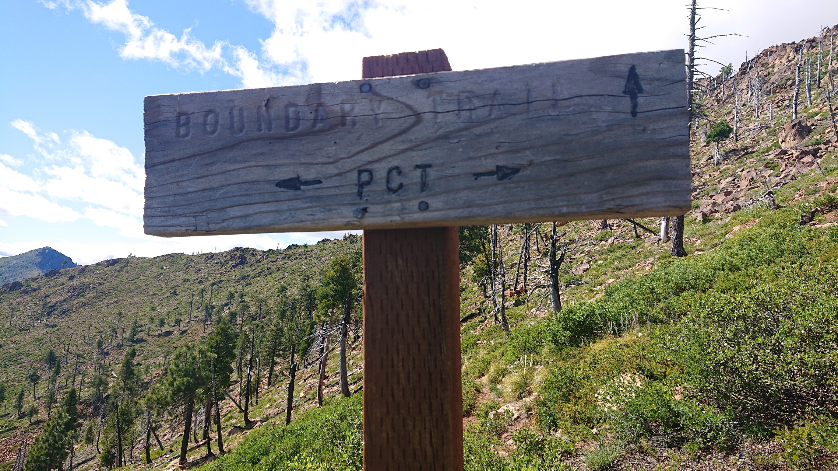
The Bigfoot trail overlaps with the PCT for 40 miles, so I will be going south on the PCT for the next couple of days. It was fun to be back on my first long trail. And the red rocks were neat.
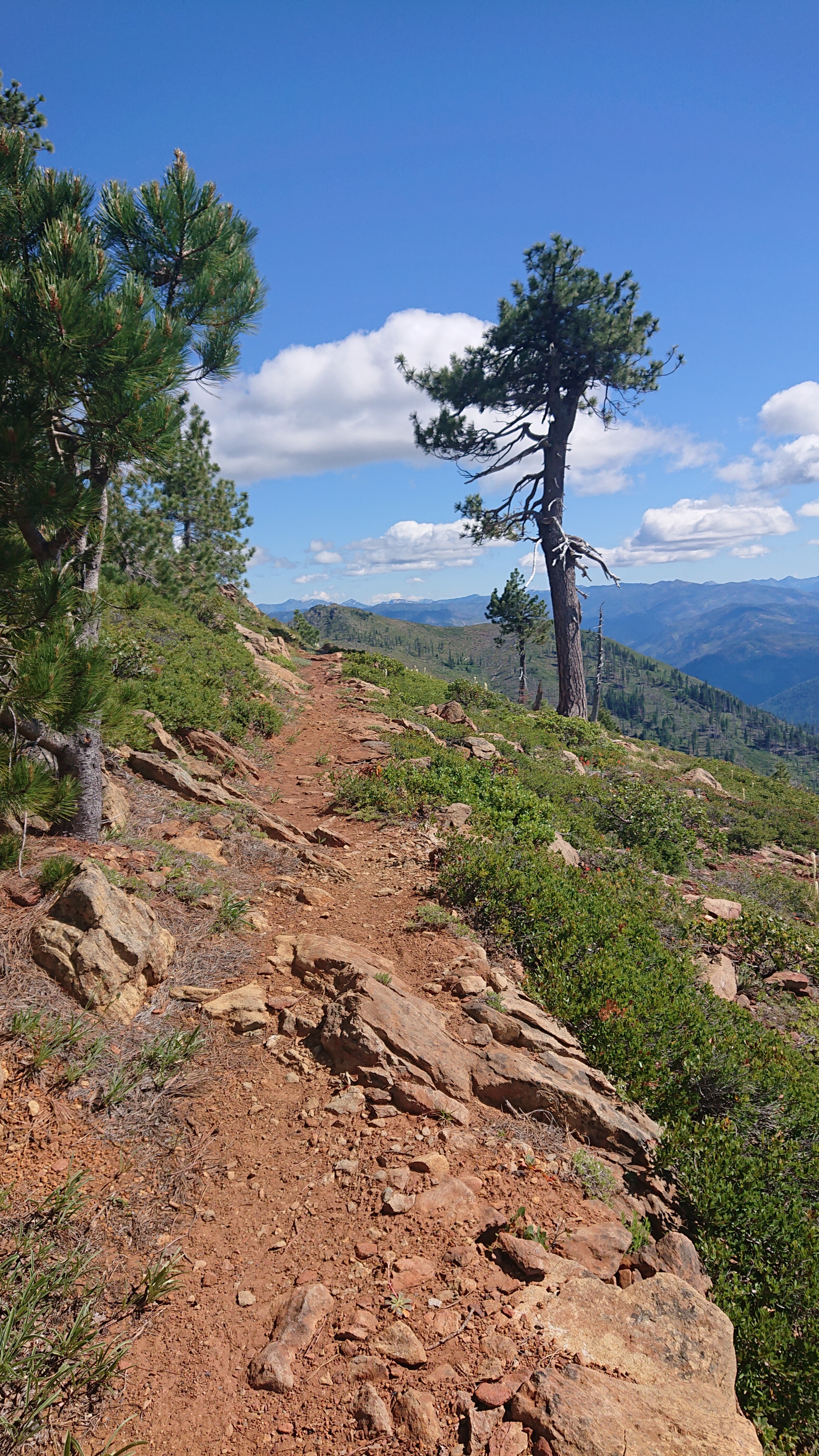
I was excited to be on the PCT, as it generally has a reputation for being very well maintained. Well, not this section I guess…
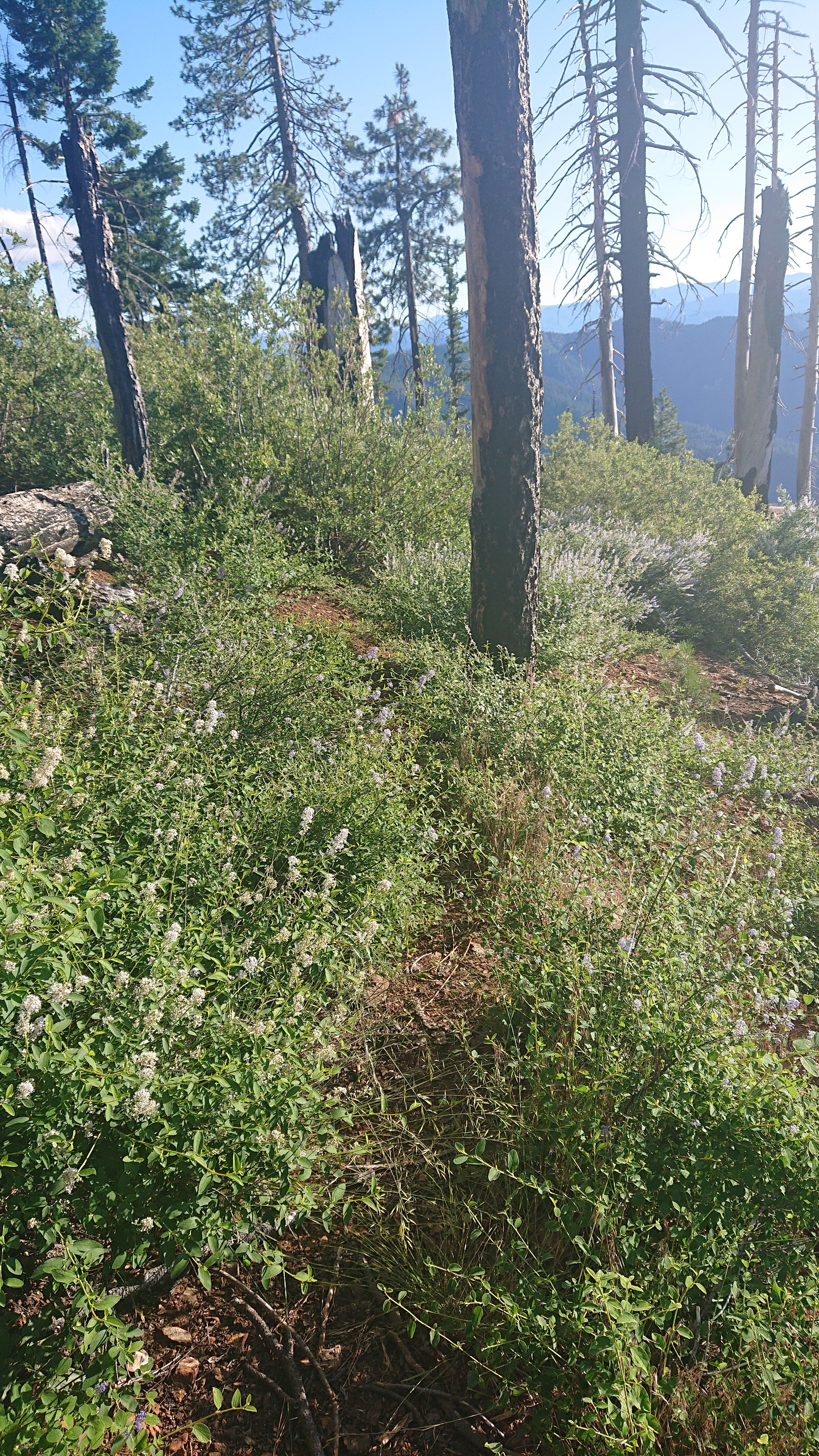
The descent down into Seiad Valley is 4500ft down, and it looked steep. I did half of it today, and the rest tomorrow morning.
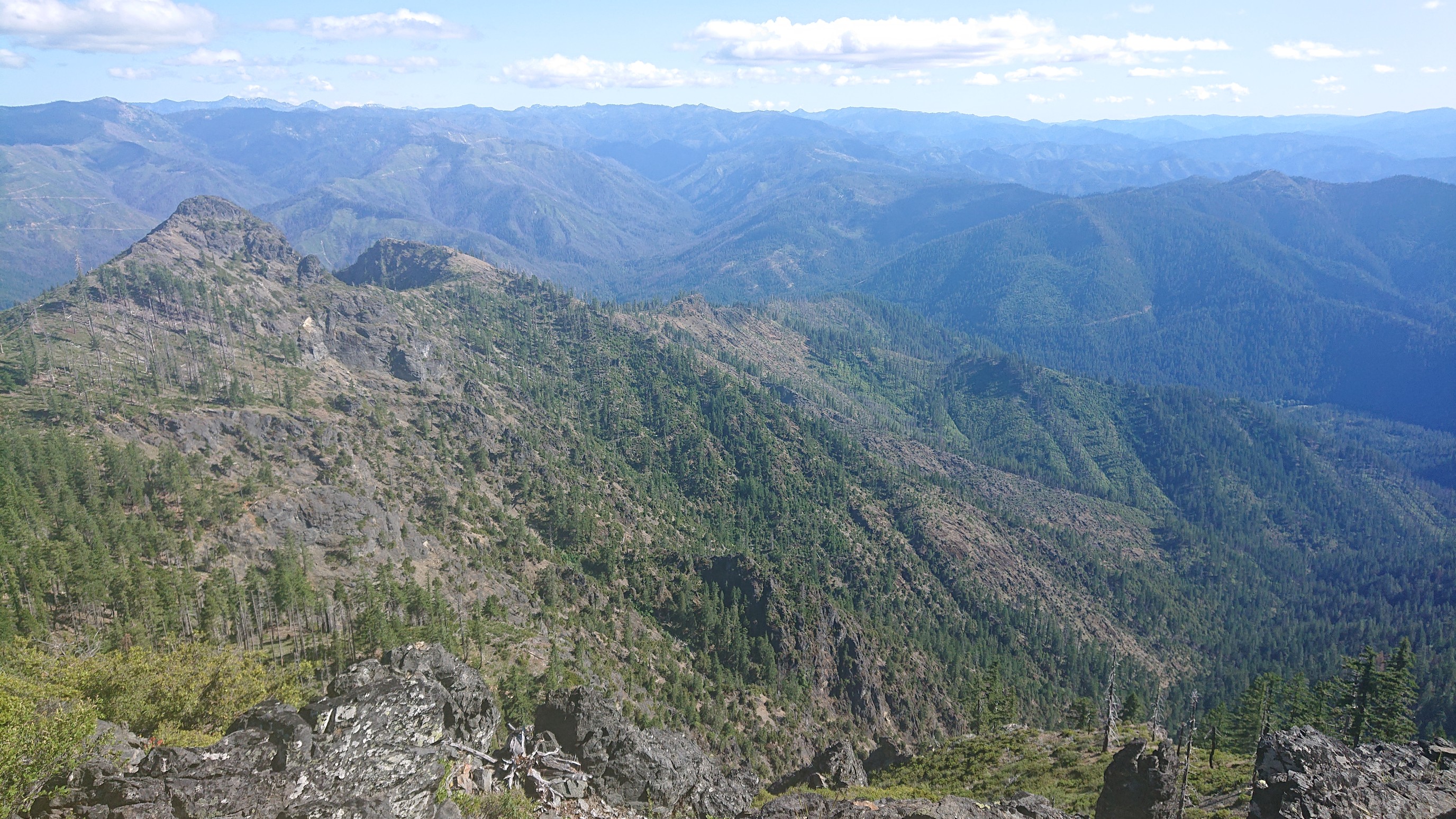
From my campsite I could see all the way down into Seiad Valley, 2000ft below.
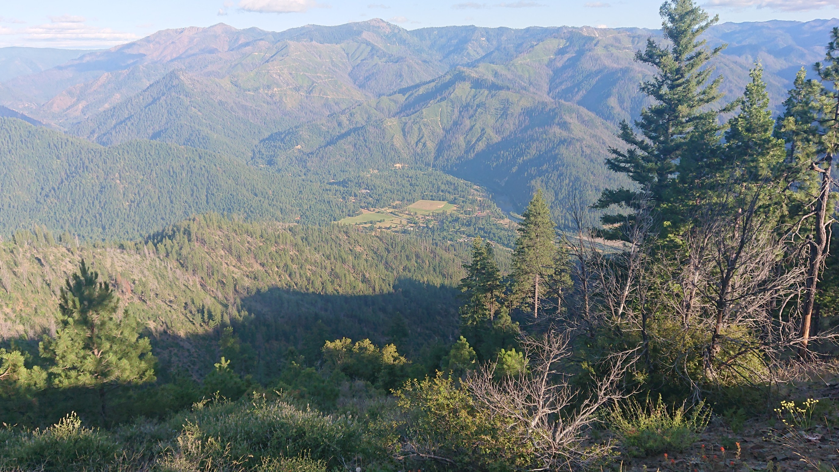
Tomorrow is exciting, shower and hot food!
Such great views & one very interesting tree!