Sunday July 26, 16.7mi/26.9km
Meadow under Peak 11210 (146.3/10,400ft) to Rafferty Creek (162.3/9510ft) (CA) + 0.7mi to lake
It was a cold morning, only 45F/7C on my thermometer. I was able to move quickly thru easy terrain and stay warm.
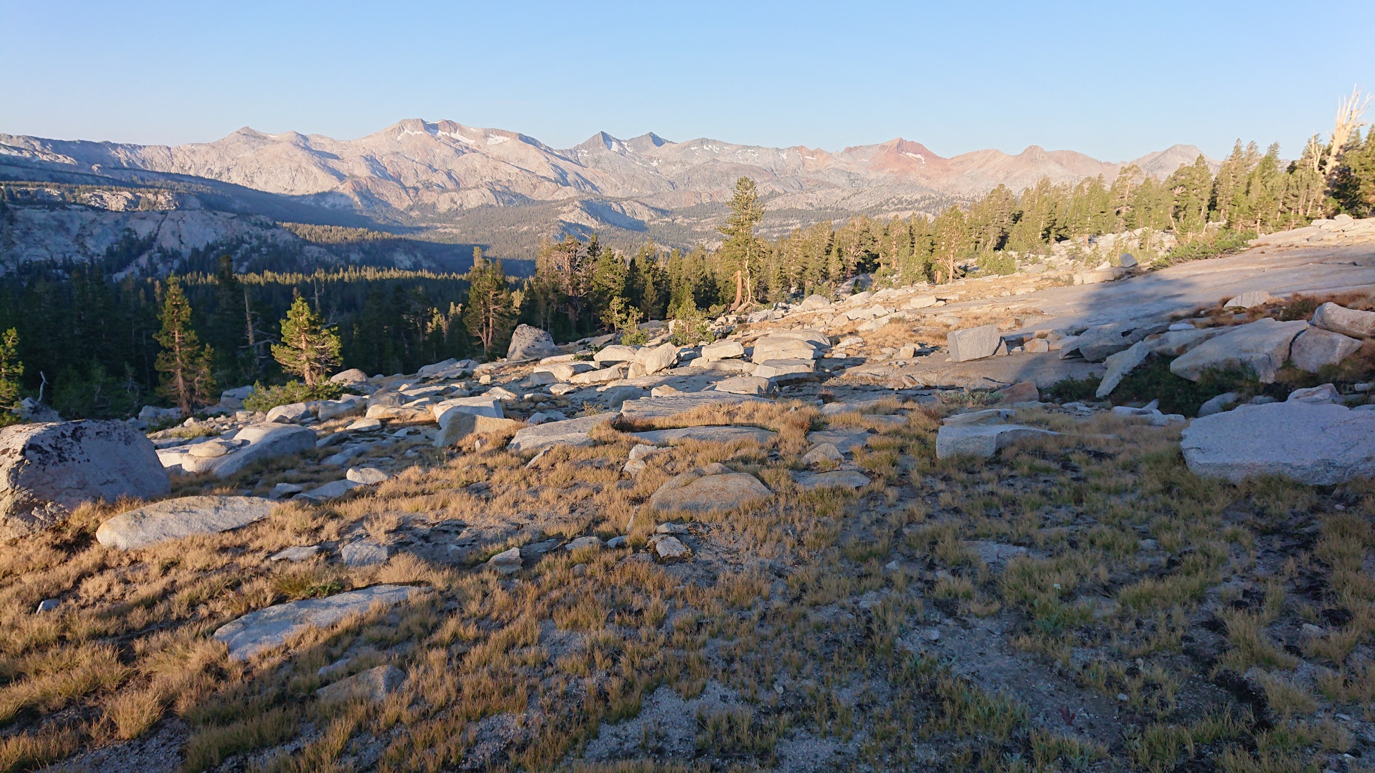
This tree seemed out of place.
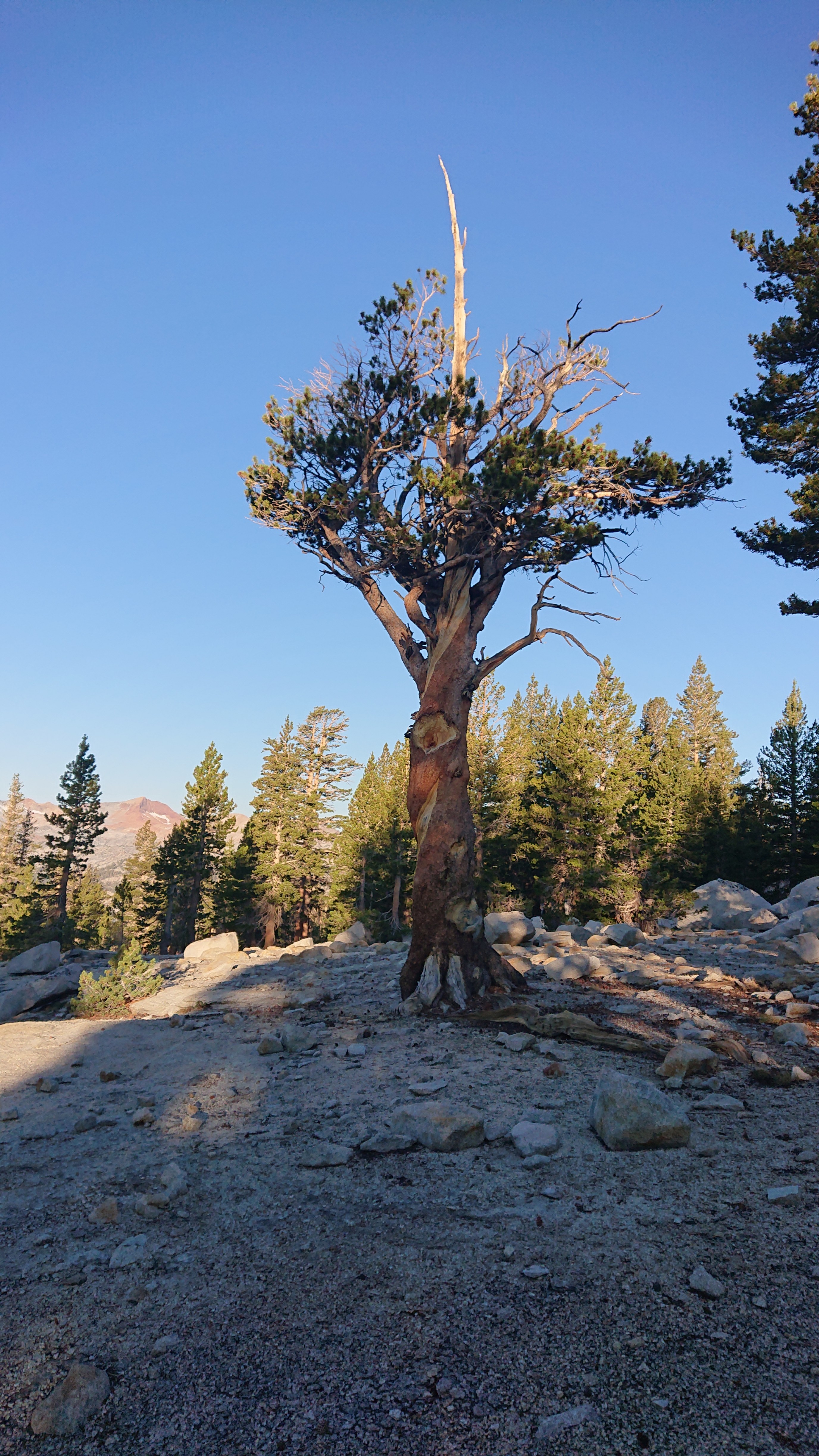
And then after only twenty minutes, I was on a trail!
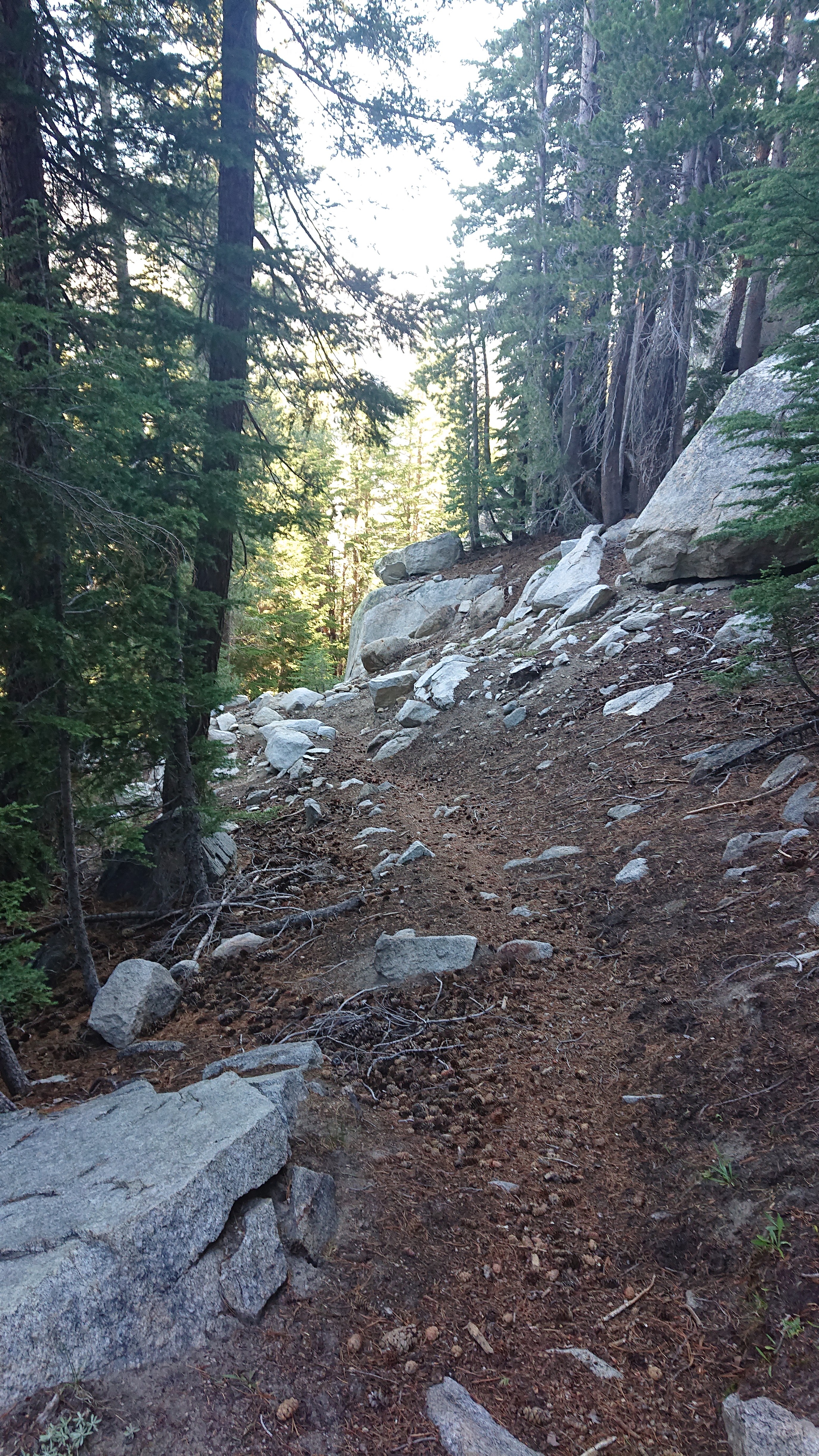
It switchbacked all the way down to the Lyell Fork Merced River, which I had to ford. Brrr.
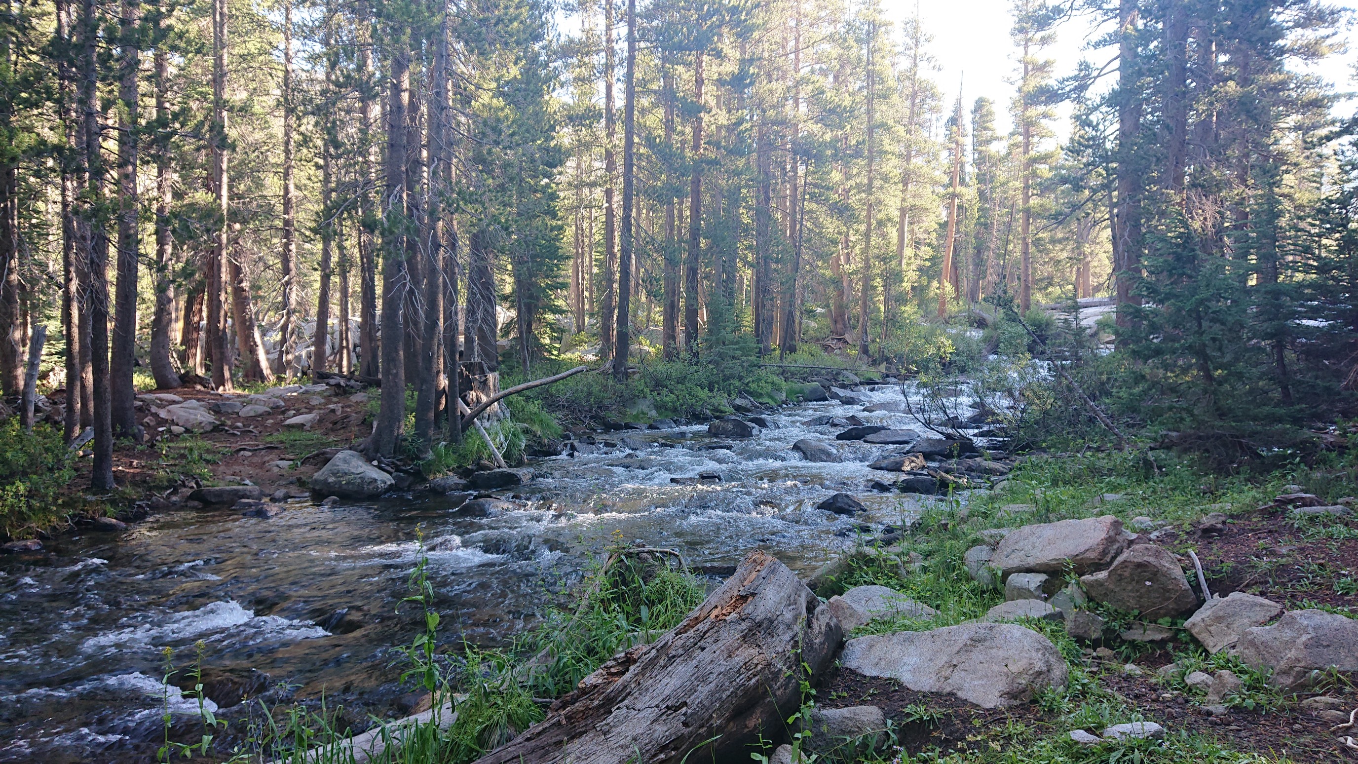
Once across the river, I could look back and see where the trail came down. How fortunate to have that ramp, everything else was cliffs.
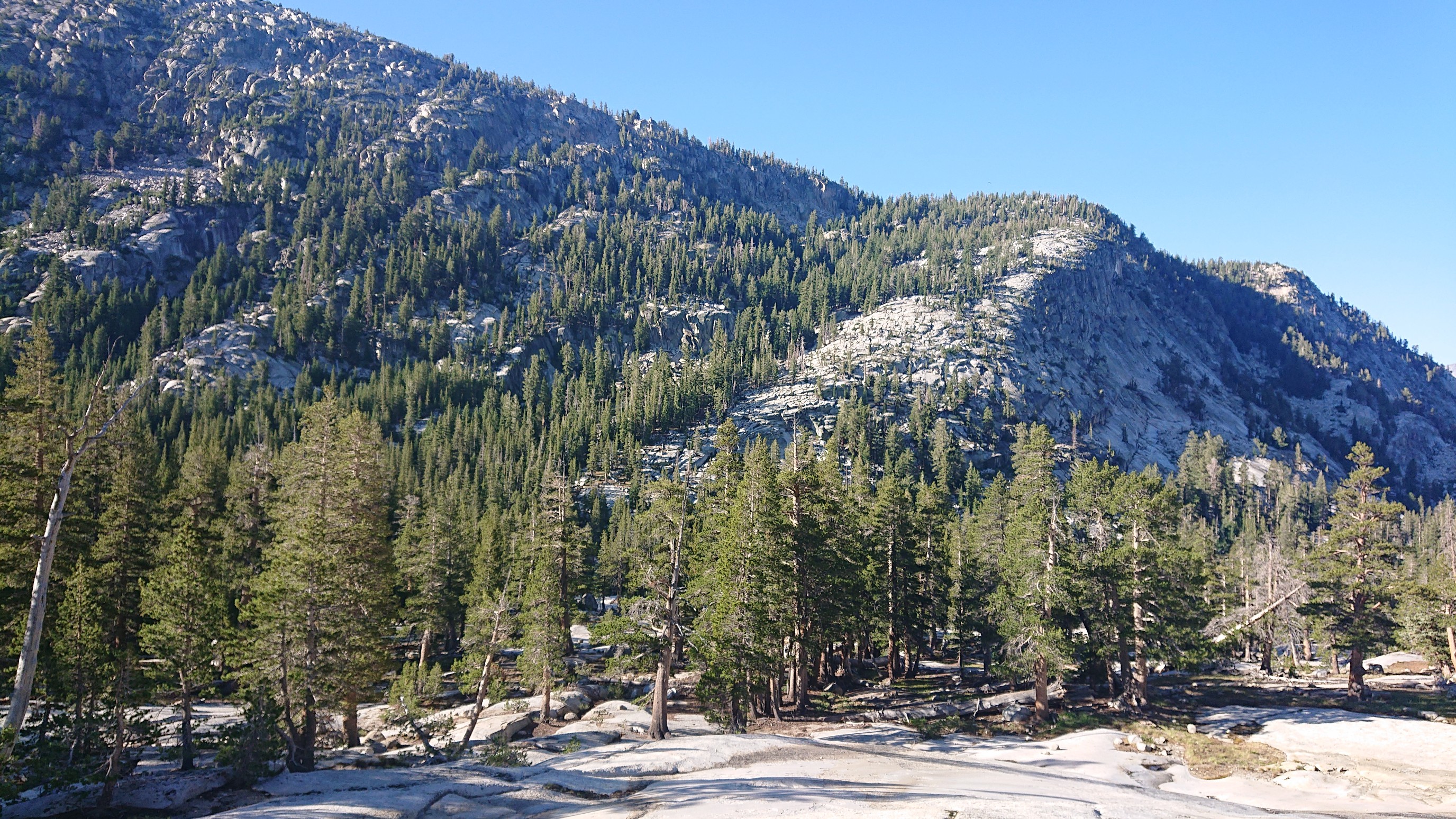
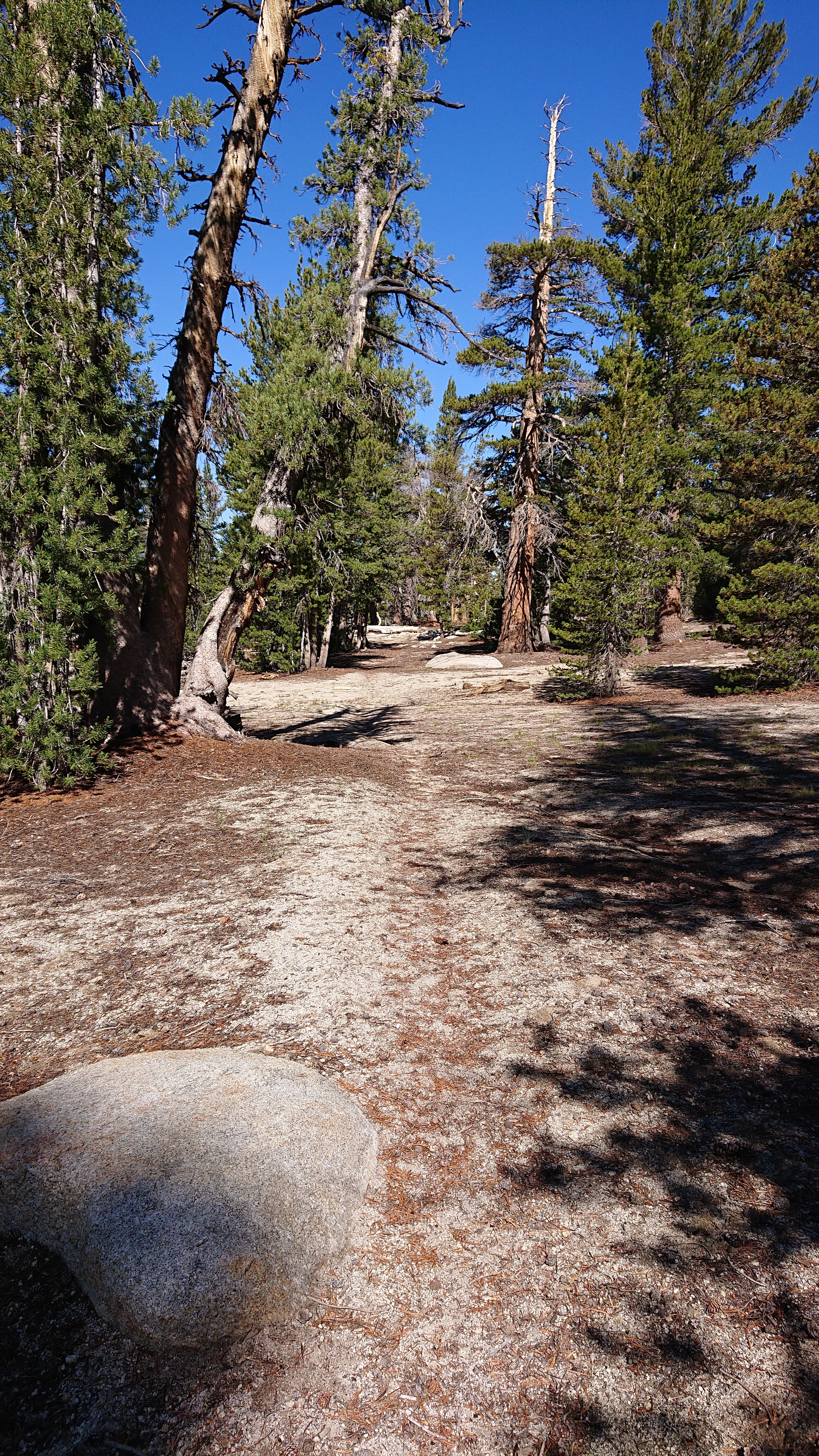
The scenery started changing to typical Yosemite granite slabs.
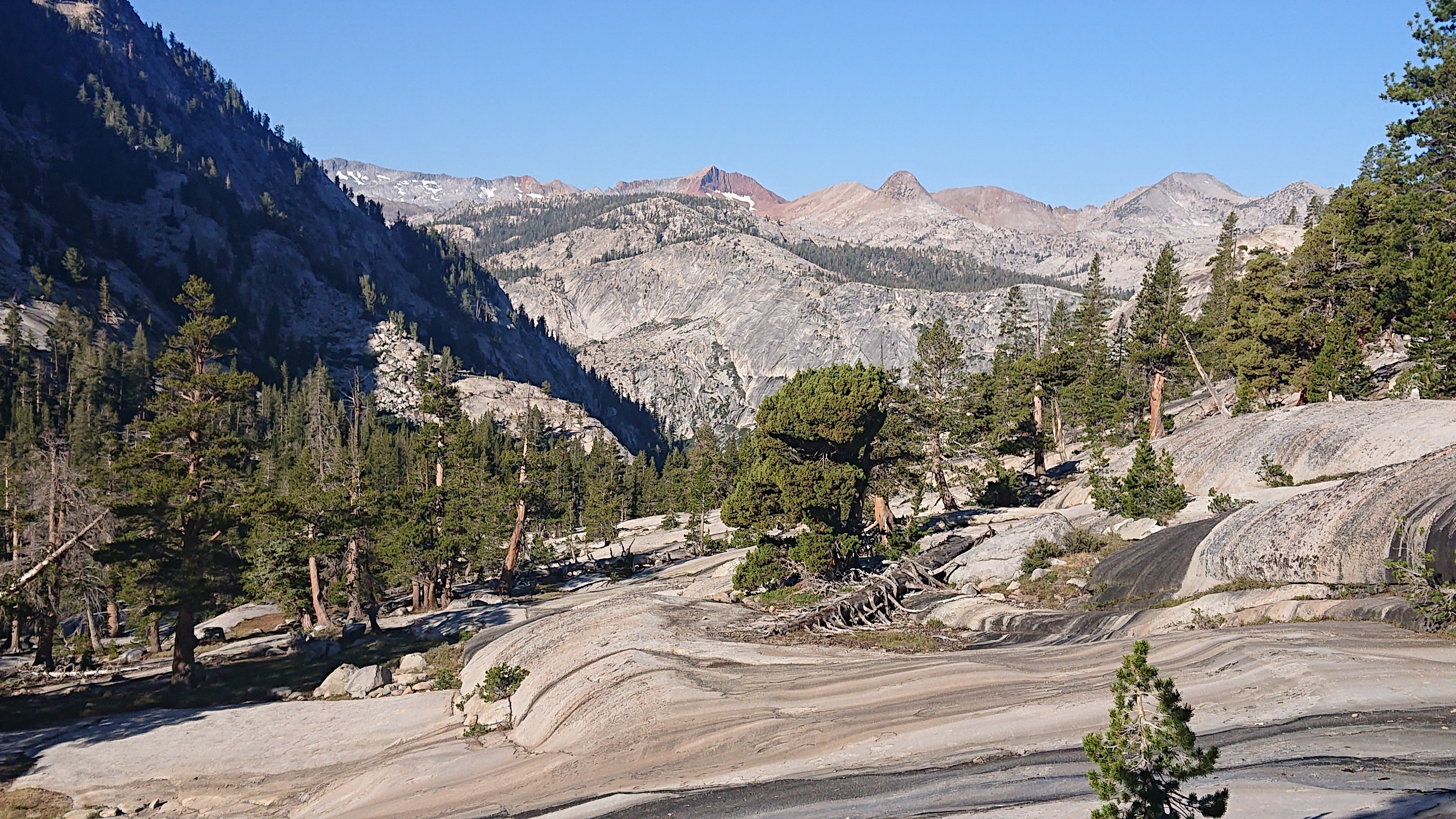
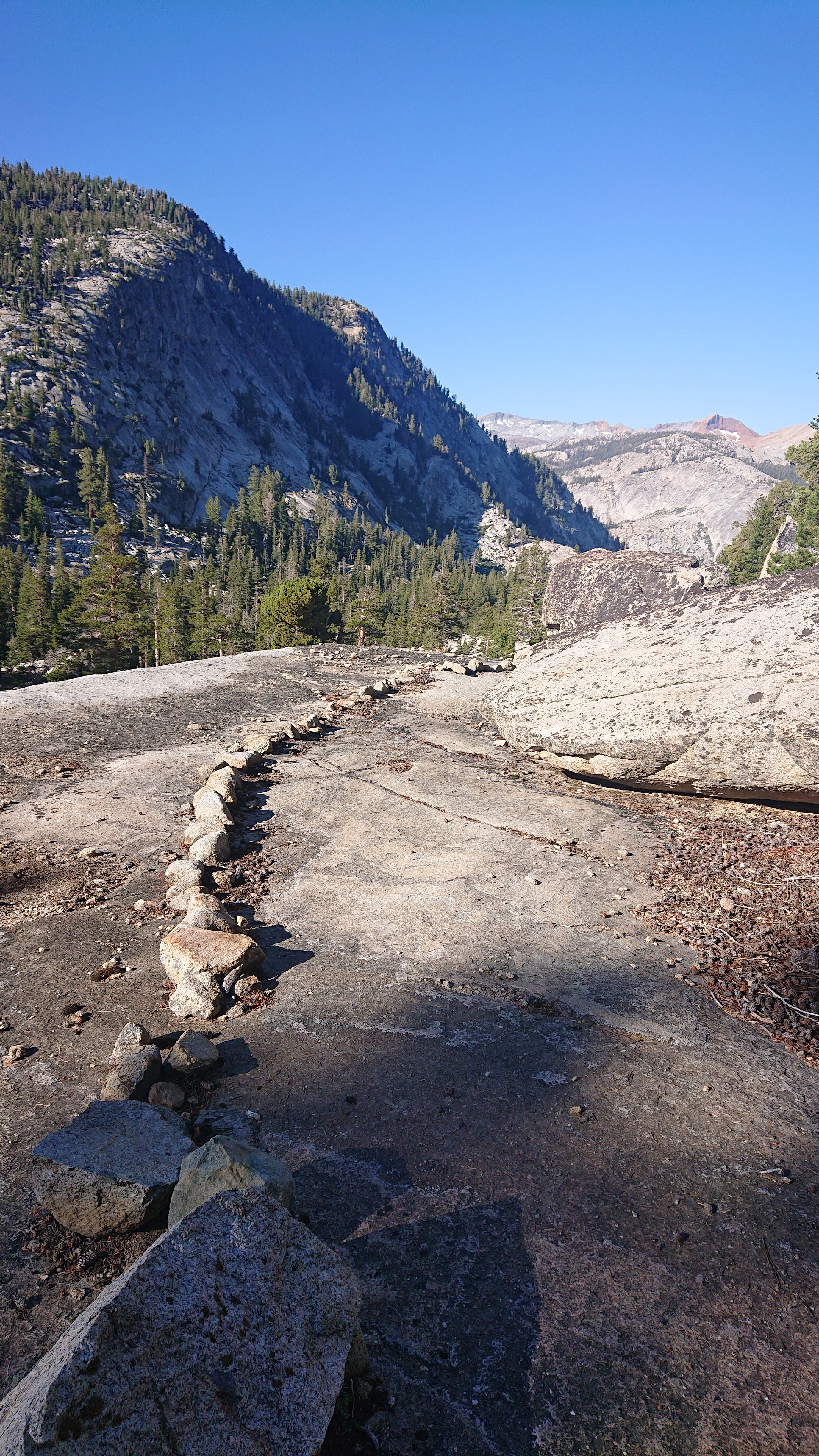
And typical Yosemite trail construction.
I was down low all day, it was a nice change to be in a forest surrounded by green.
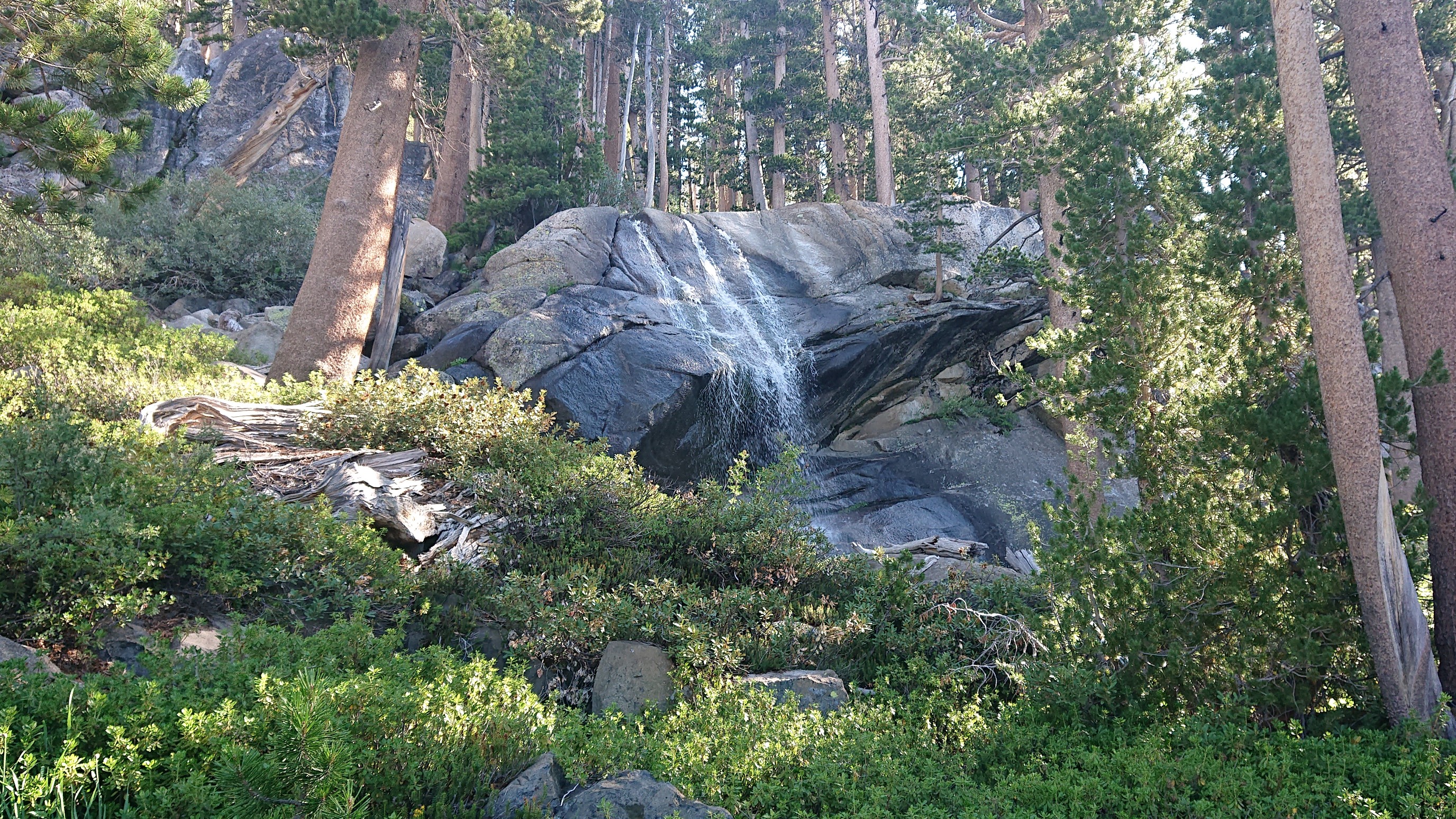
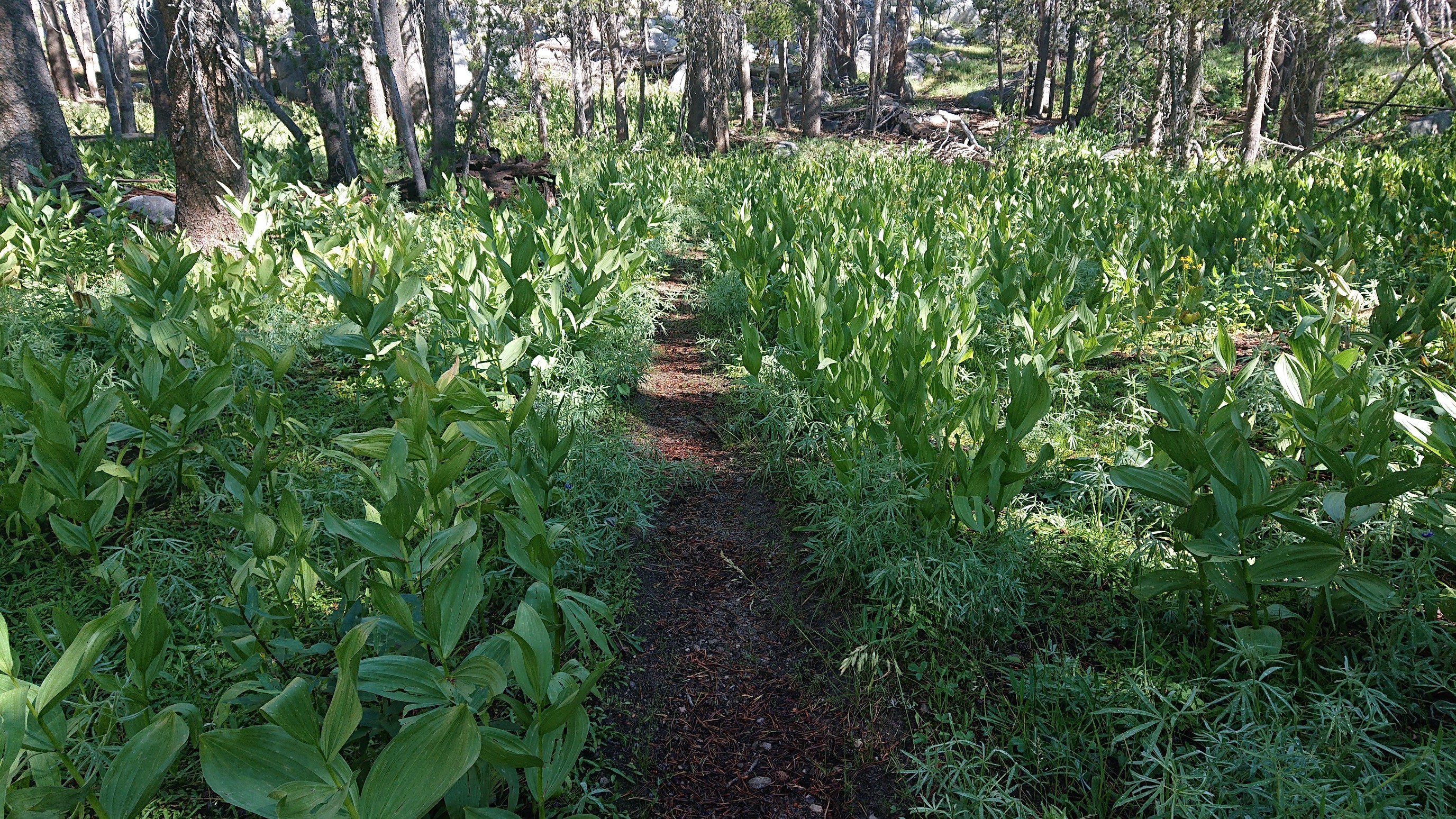
I cruised along all morning on easy trails, it was nice not having to focus on navigation.
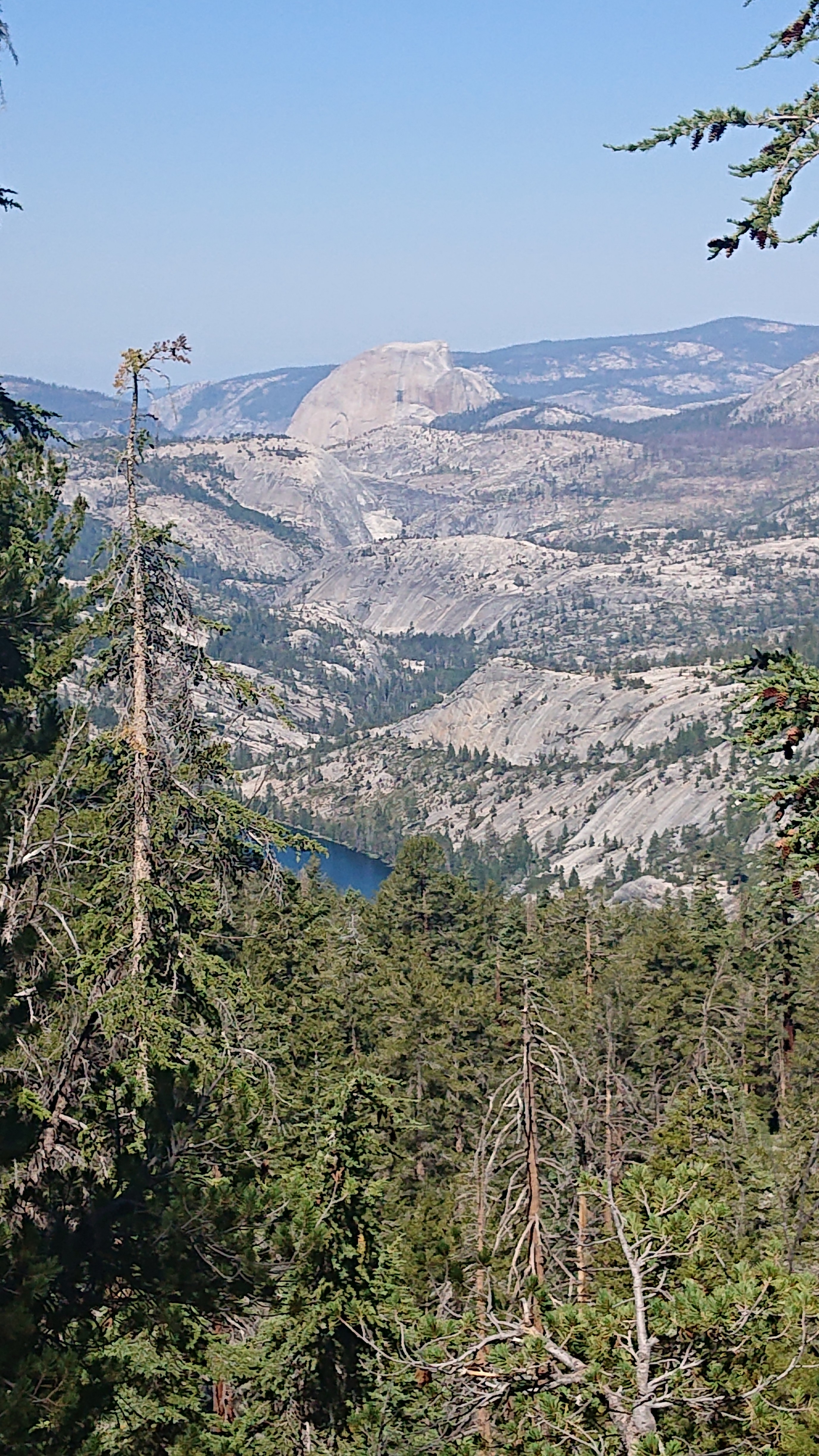
Just before I dropped down into another river valley, there was a viewpoint, I could see half dome!
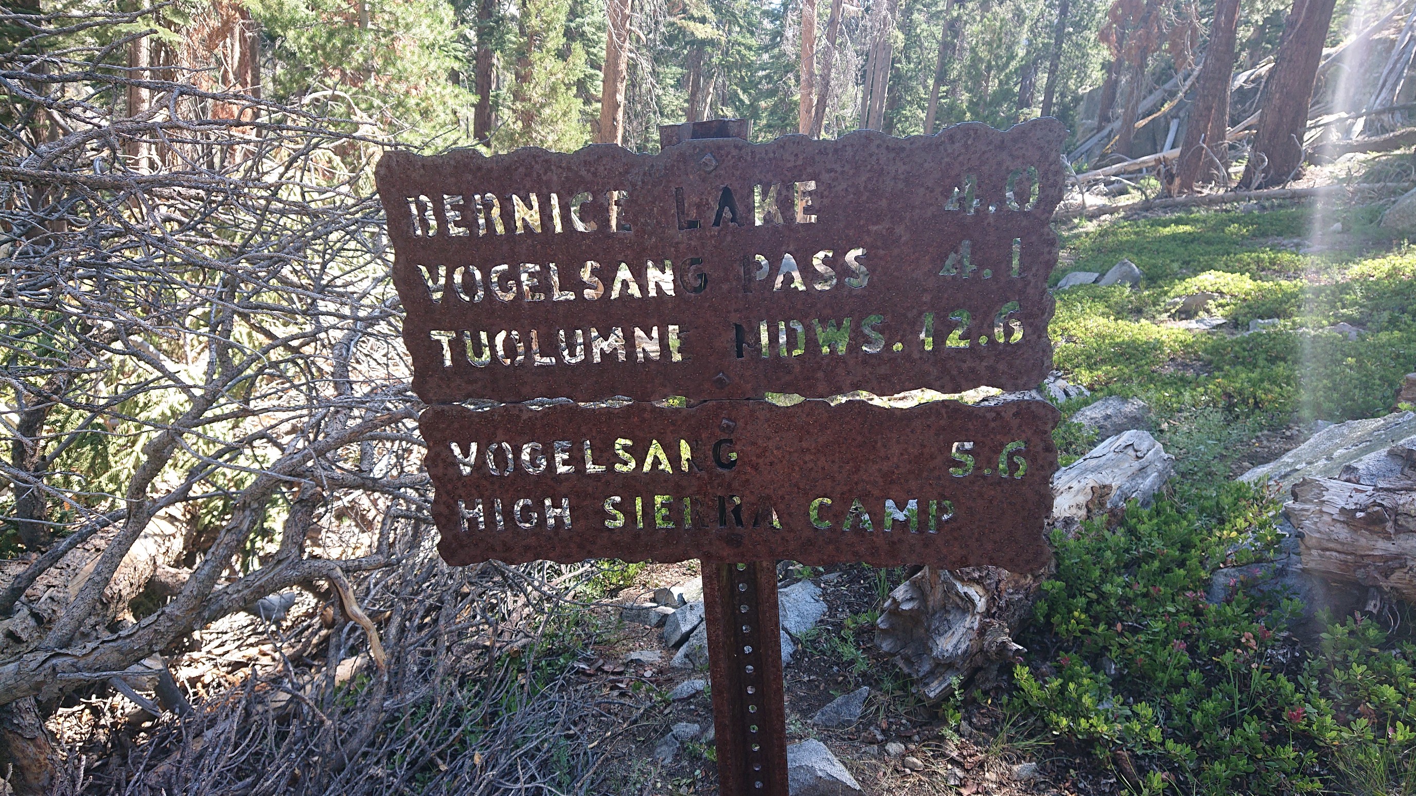
When I got down to the river (Lewis Creek), there was a trail junction. I forgot about the Yosemite style trail signs, they must be so hard to make.
I walked upstream along Lewis Creek for an hour, by now it was late morning and hot. The mist from all the various waterfalls felt nice.
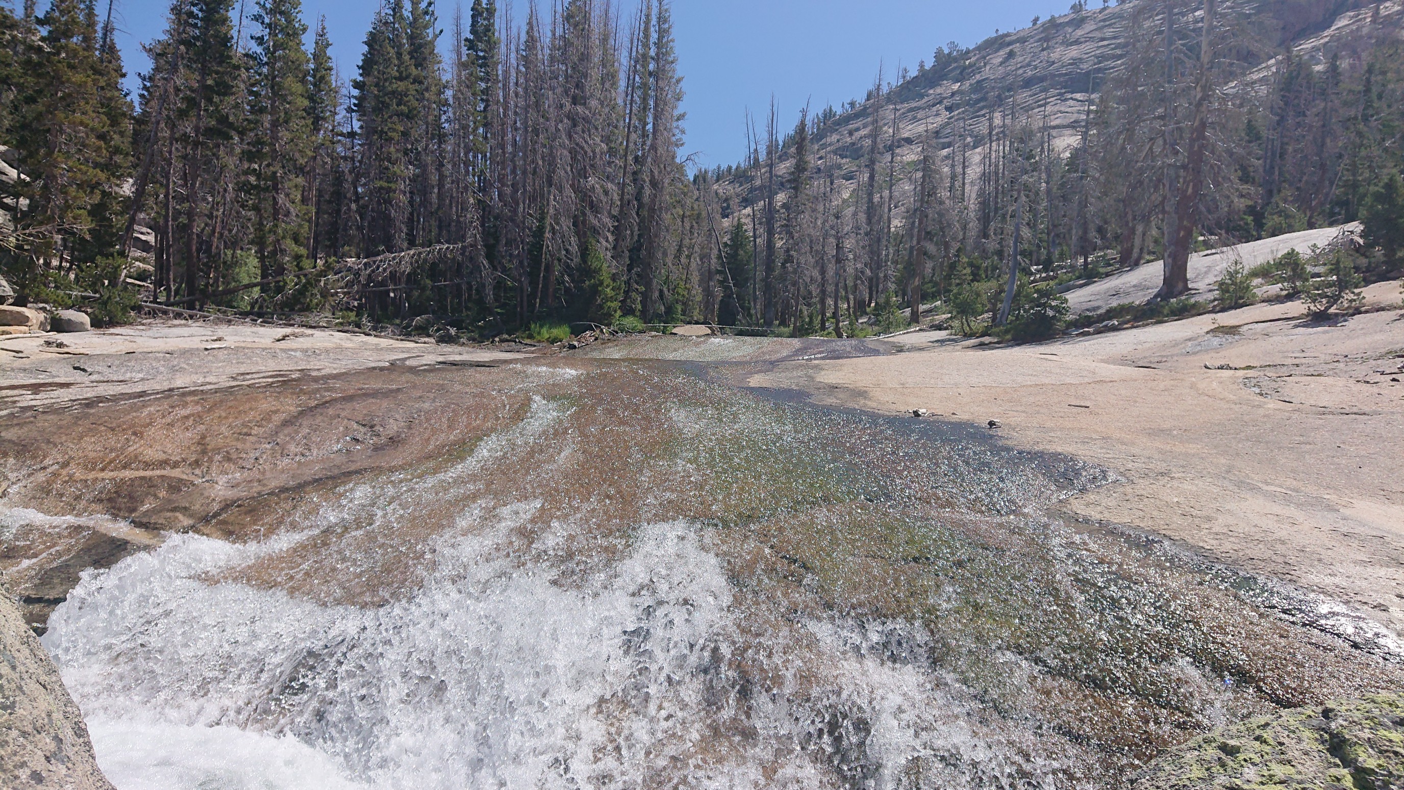
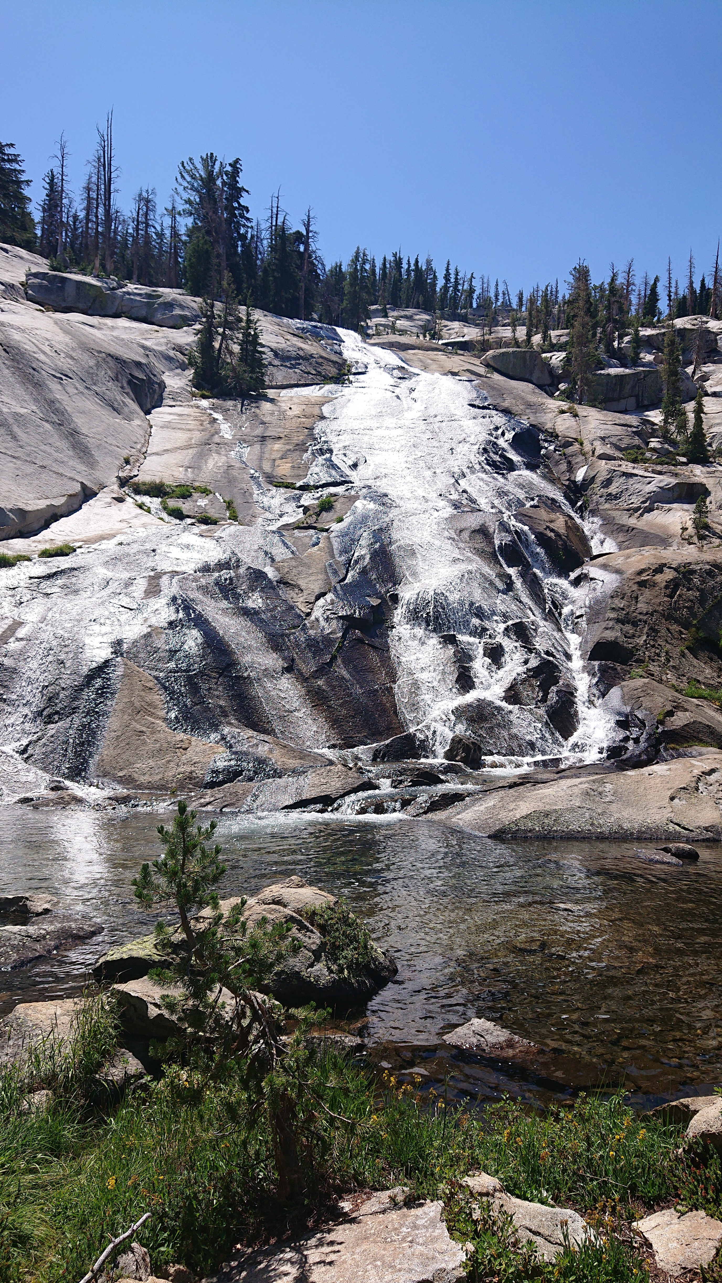
And the occasional shady cliff helped too.
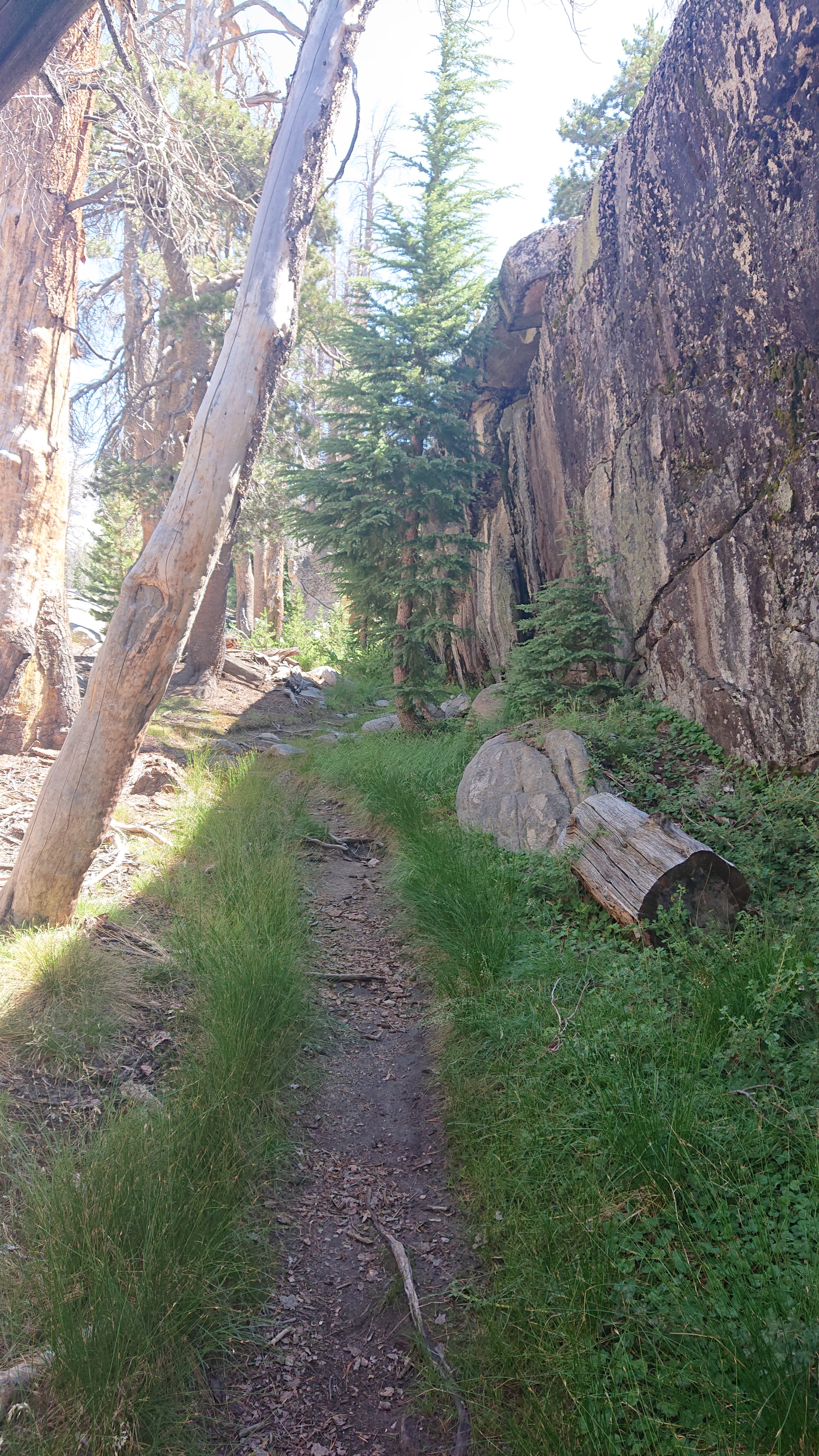
It was a pleasant hike, and before I knew it, I had climbed 1000ft/300m and had left the river. I was now up in the meadows.
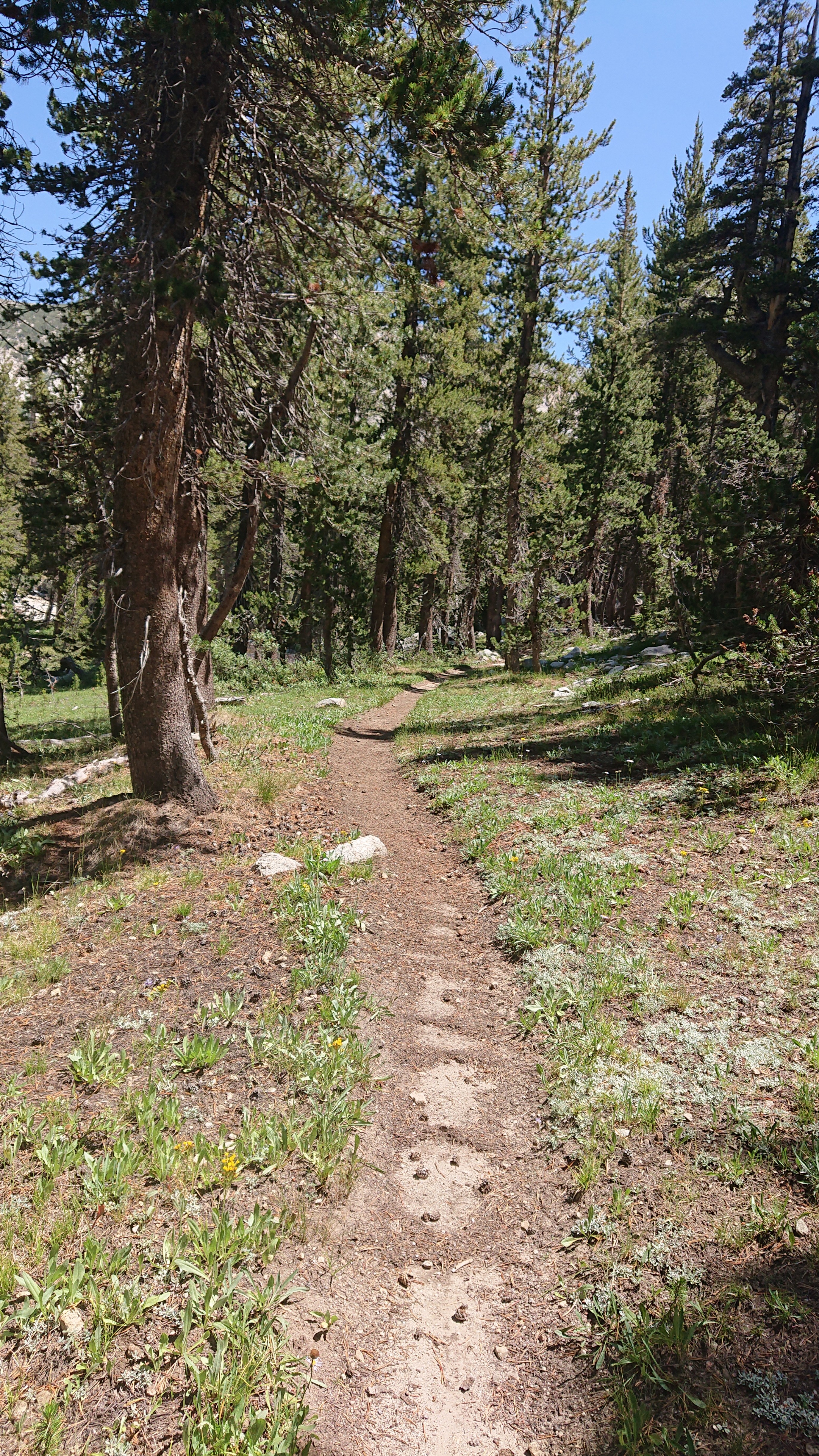
I stopped for lunch next to a little creek.
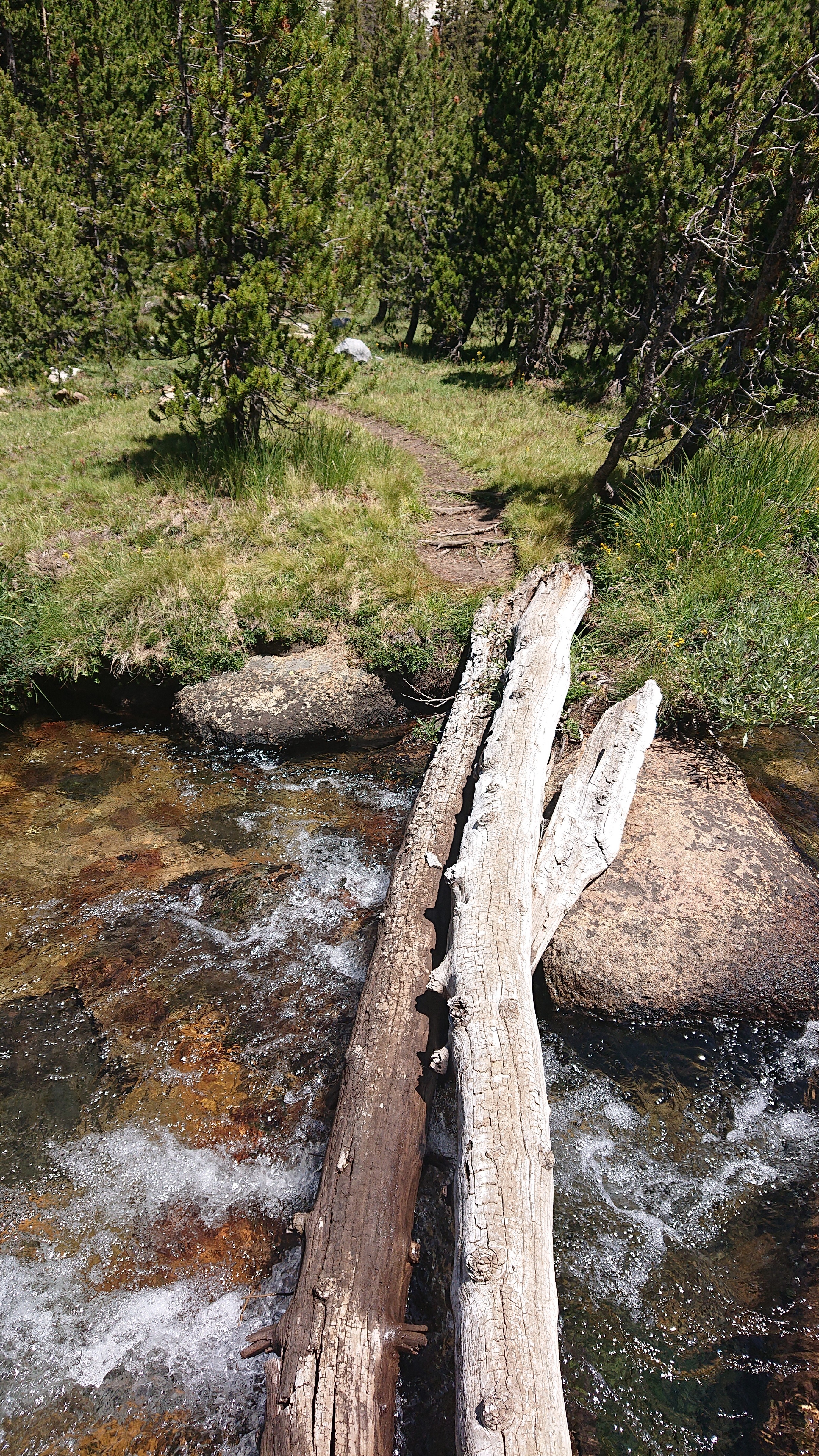
After lunch my objective was Vogelsang Pass, an easy 700ft climb on a nice trail.
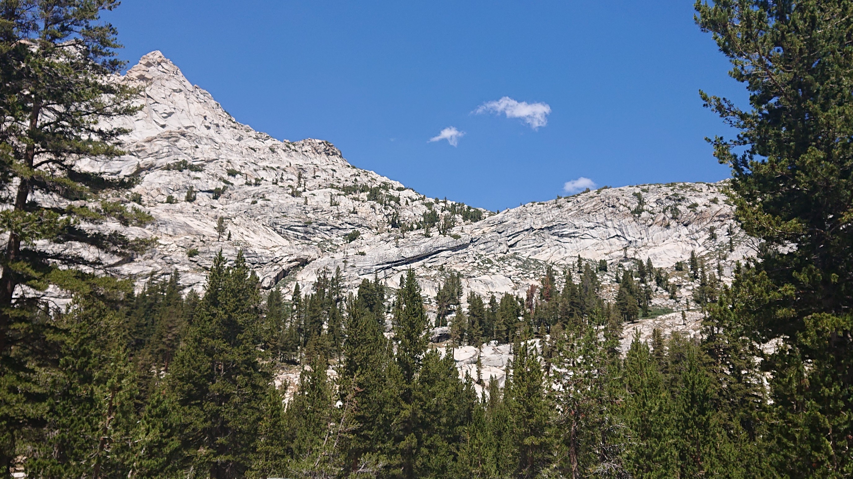
The view from the pass looking back. Gallison Lake is on the left, Bernice Lake on the right.
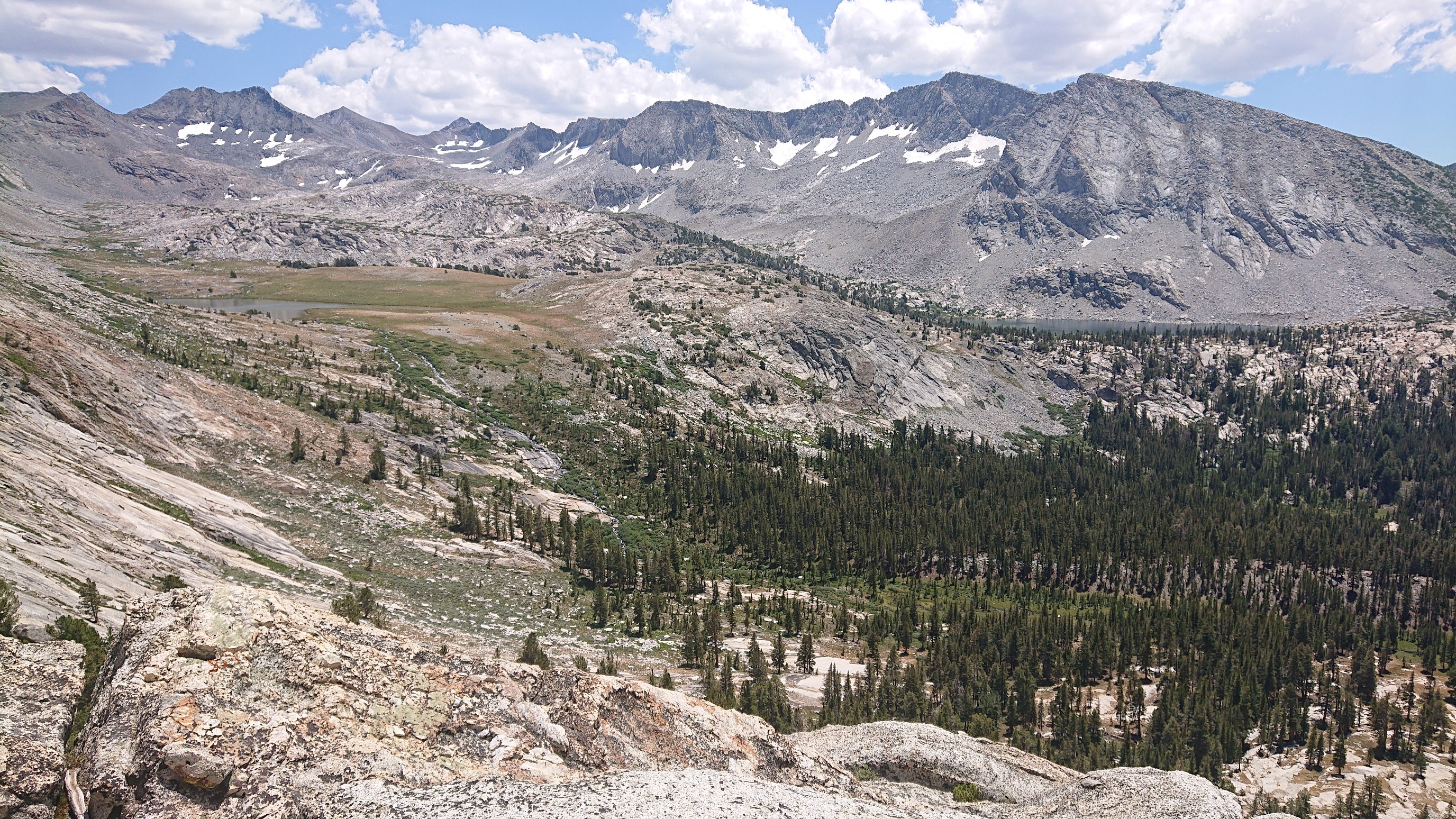
Gallison Lake, with the trail’s stone steps in front.
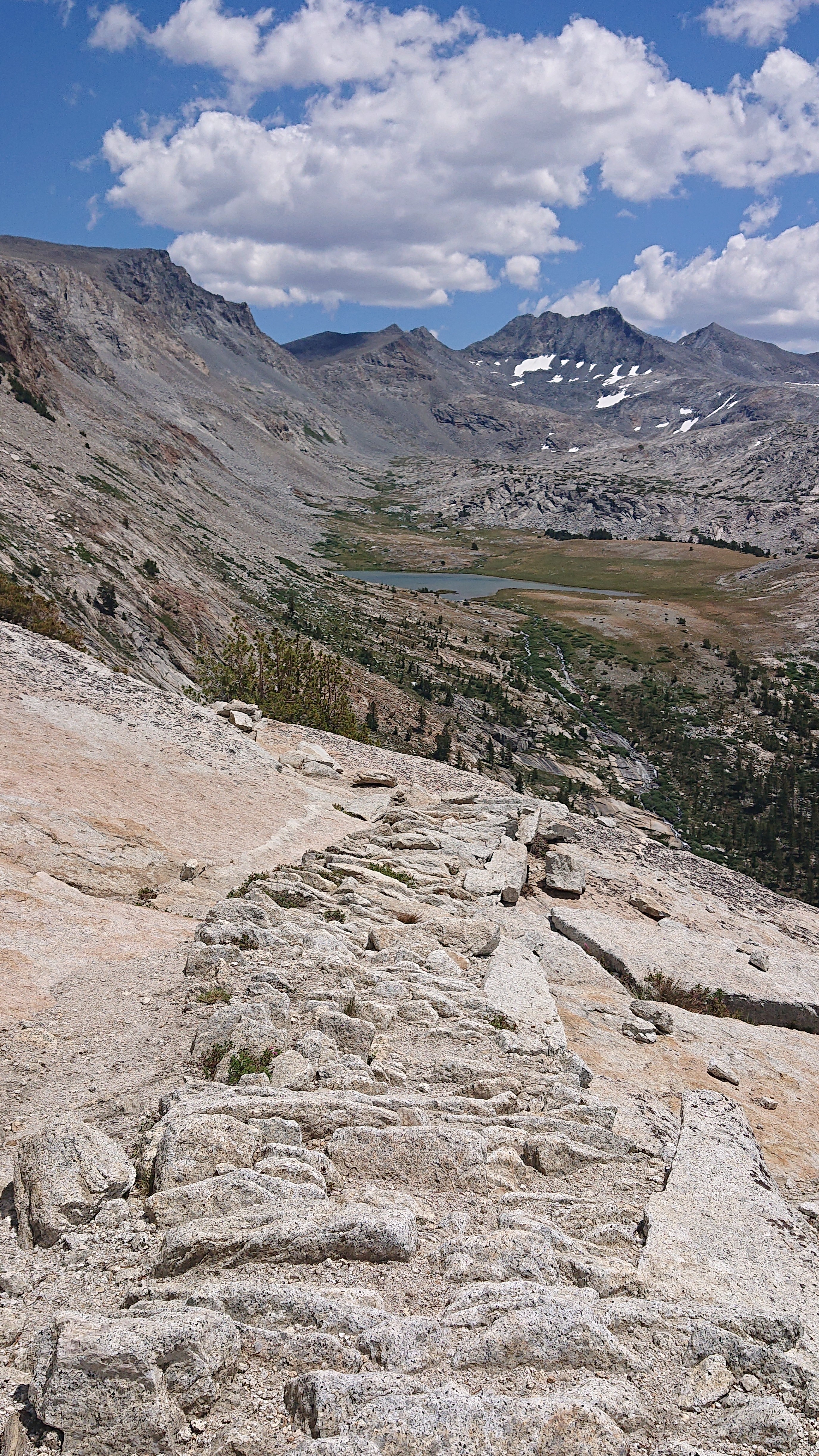
Up ahead was Vogelsang Lake, which looked good for swimming.
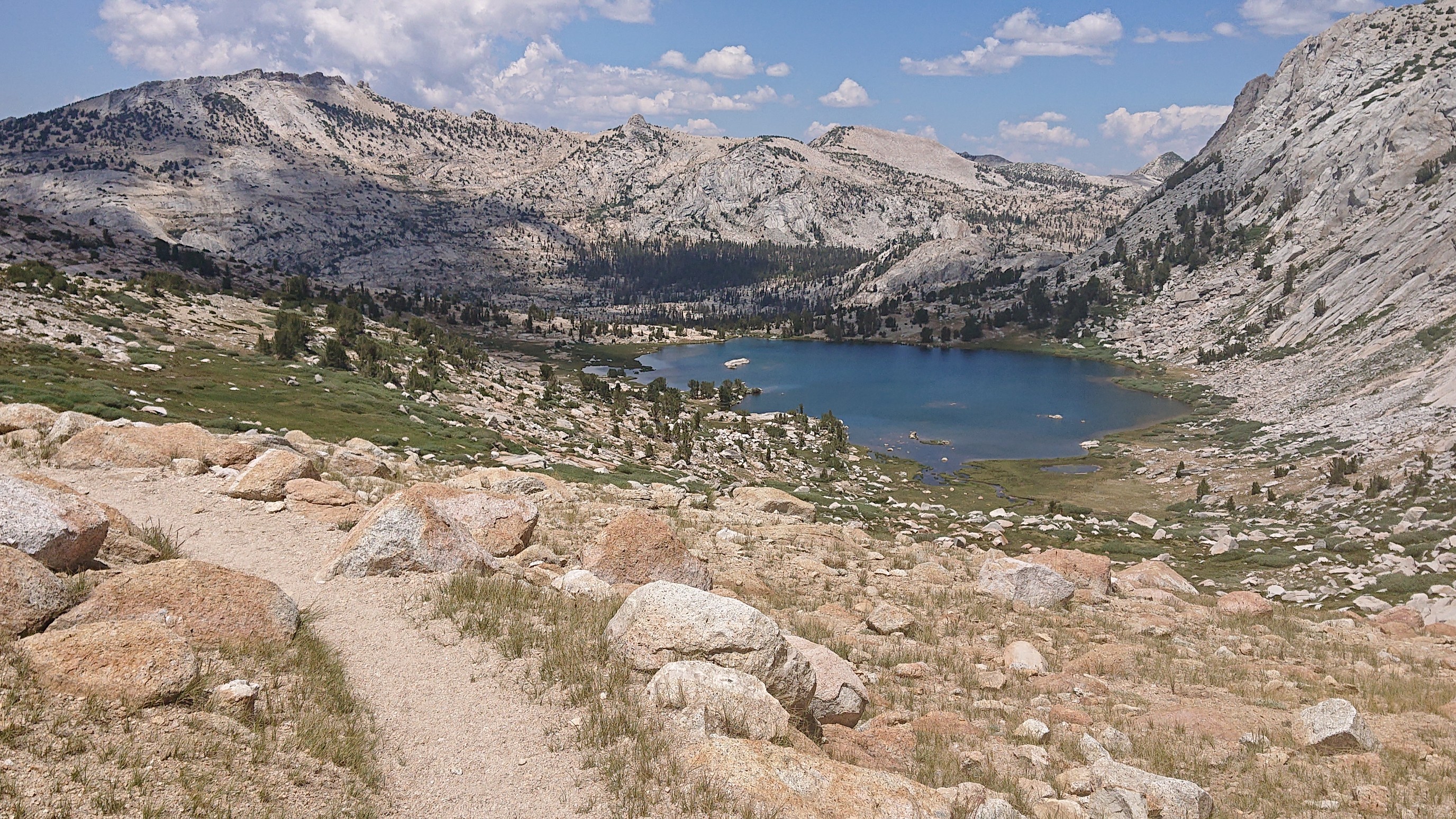
Yup, it was good for swimming.
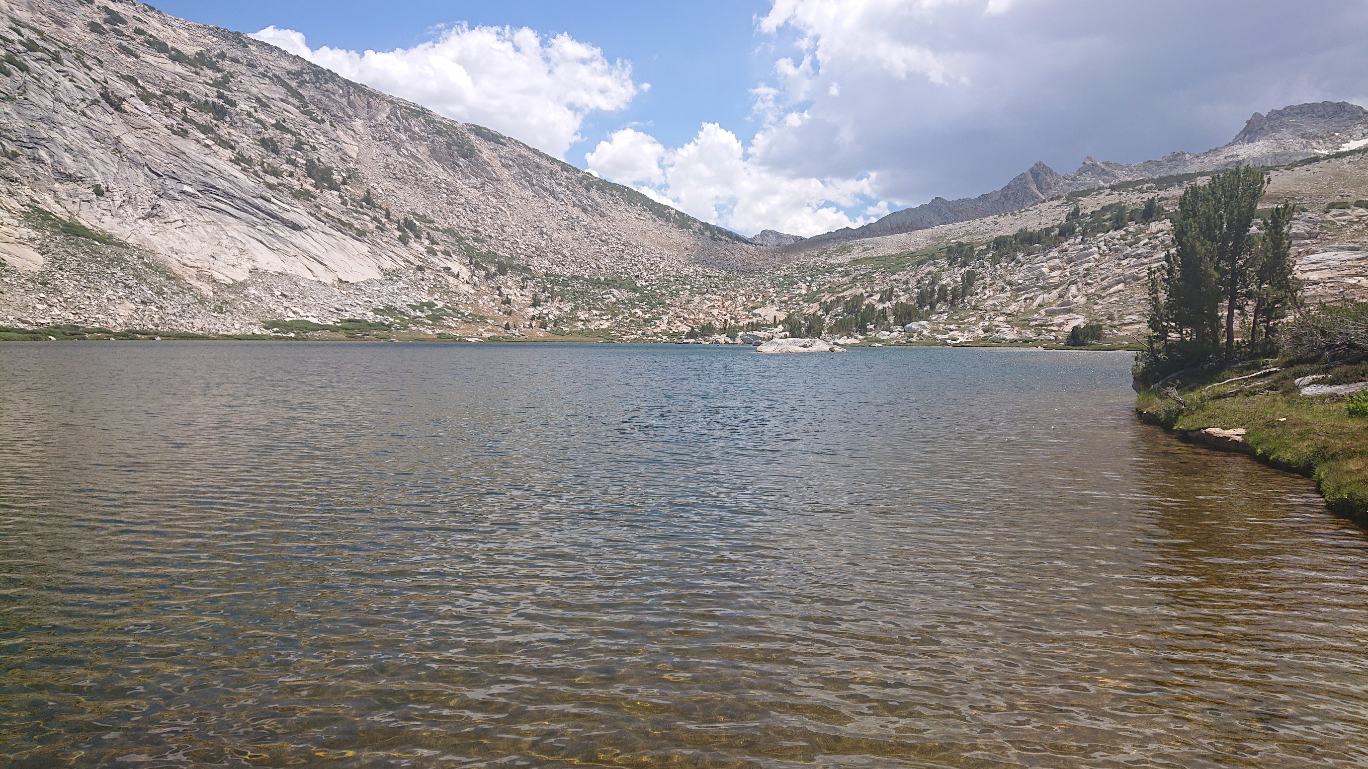
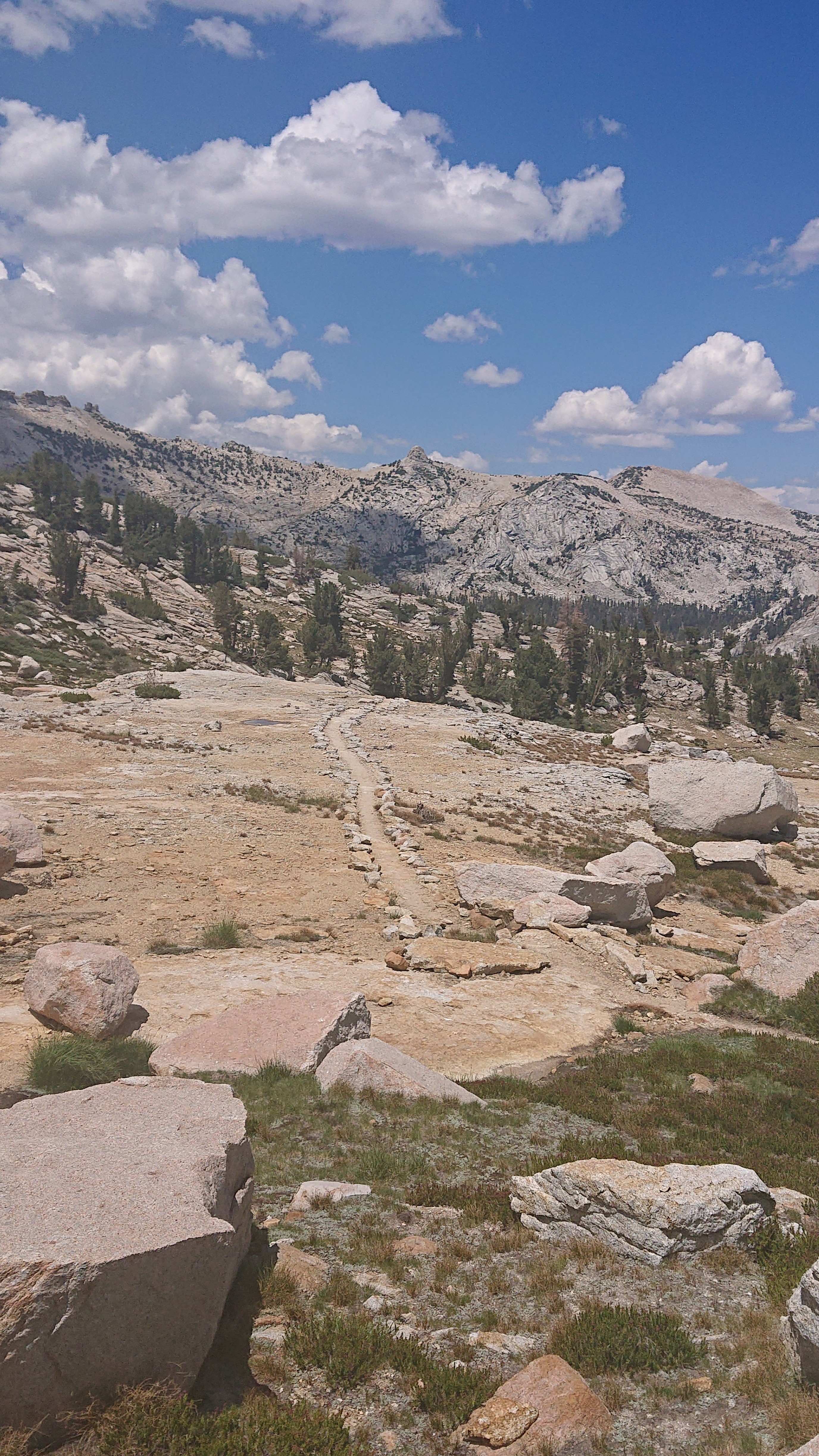
The trail was very easy to follow in this area.
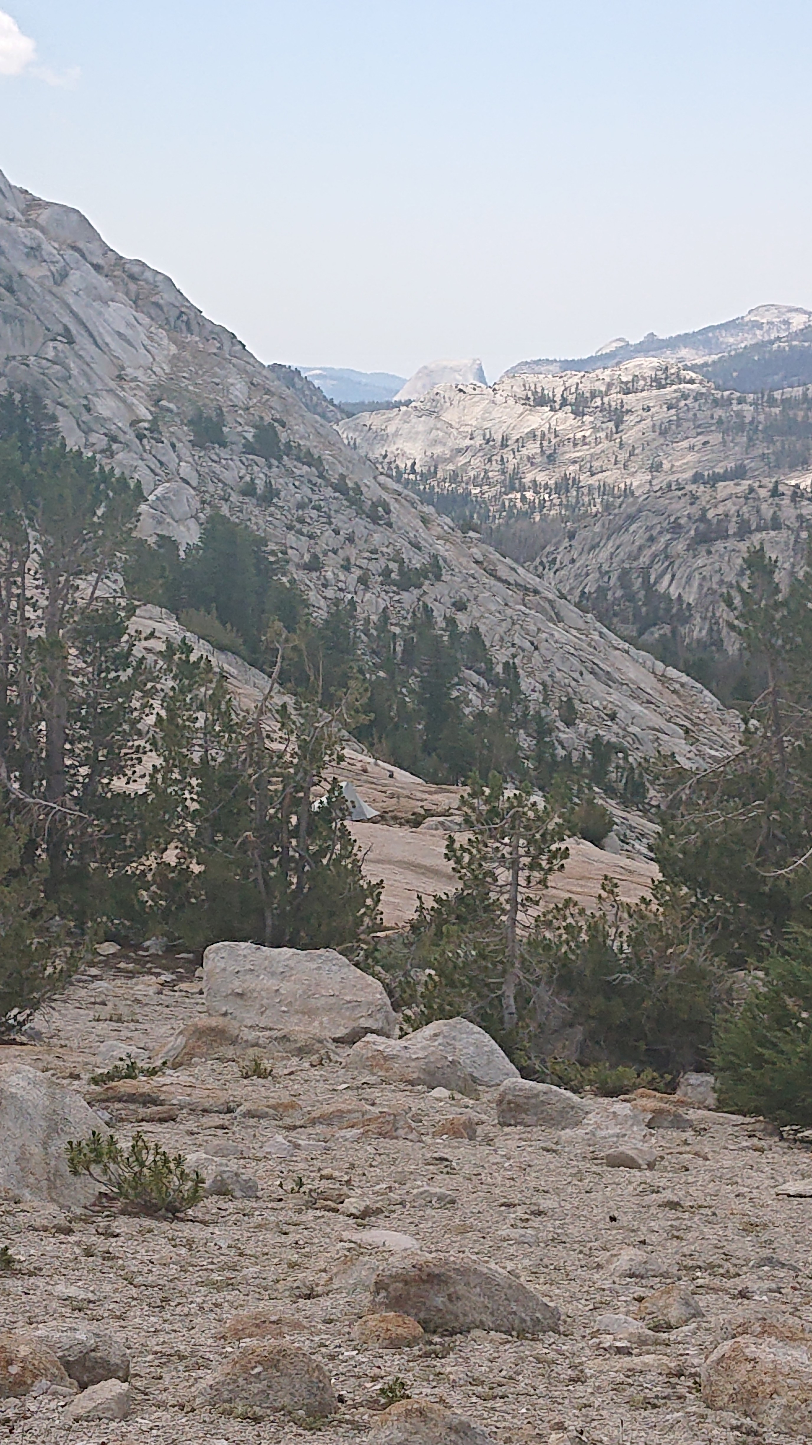
The outlet end of the lake had a neat view. Just the tip of Half Dome is visible.
A mile later, I had an unwelcome surprise of civilization in the middle of the wilderness.
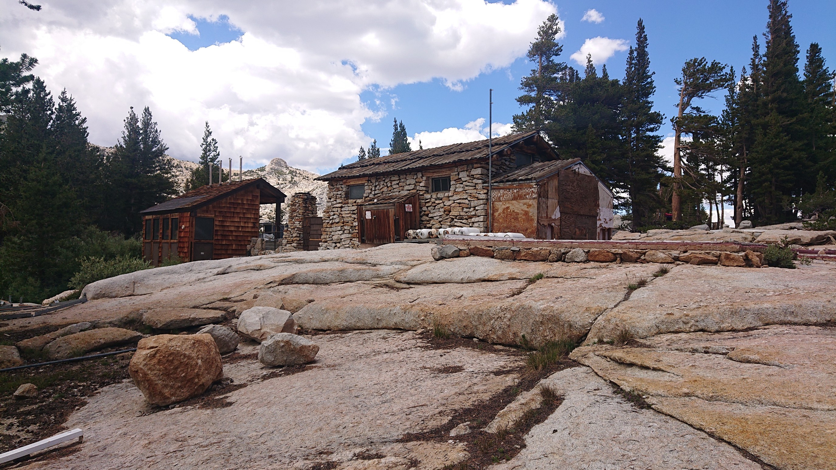
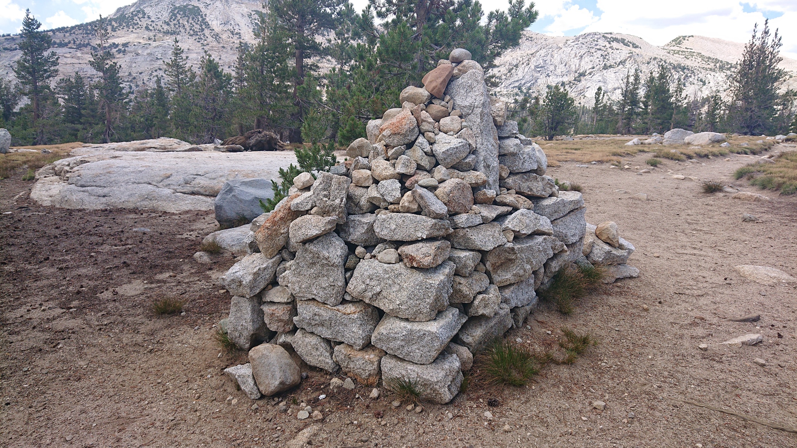
Vogelsang Camp looked mostly abandoned, probably not used in a couple years. I moved on thru the labyrinth of trails in the camp, and came out the other side at the coolest square cairn.
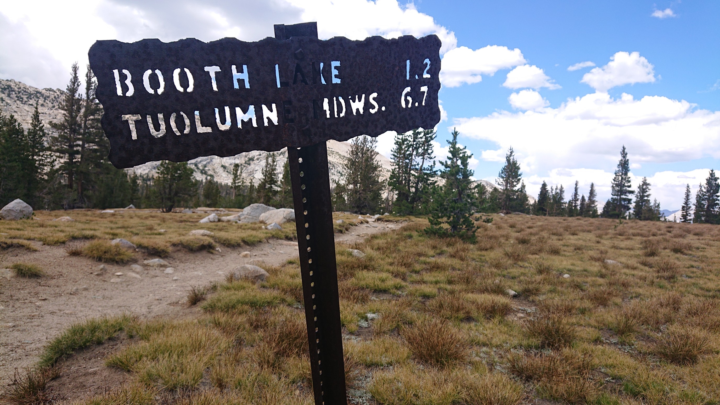
I saw a sign for Booth Lake! I had to go see my namesake body of water.
Only a half mile off my route, it was worth it.
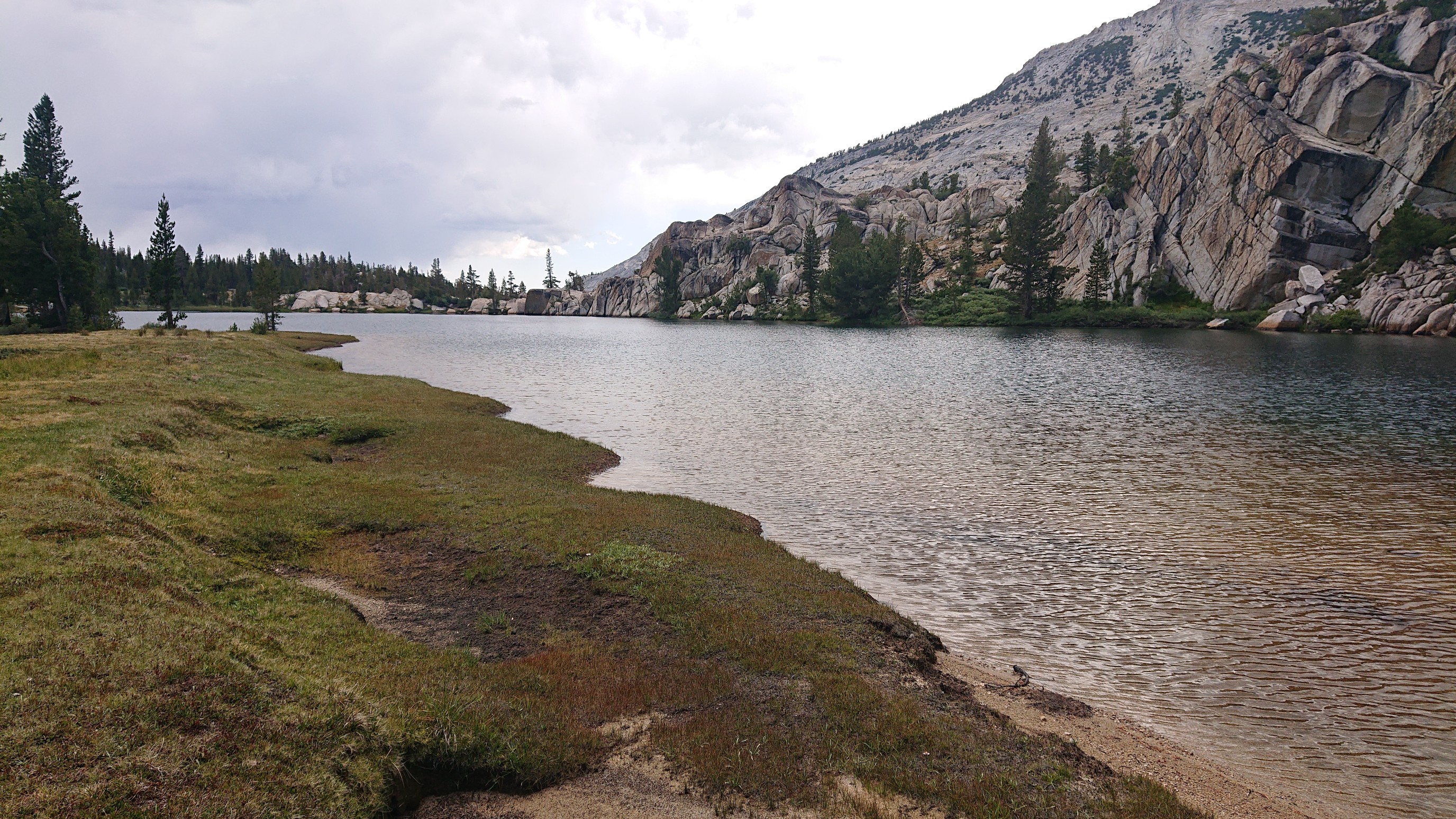
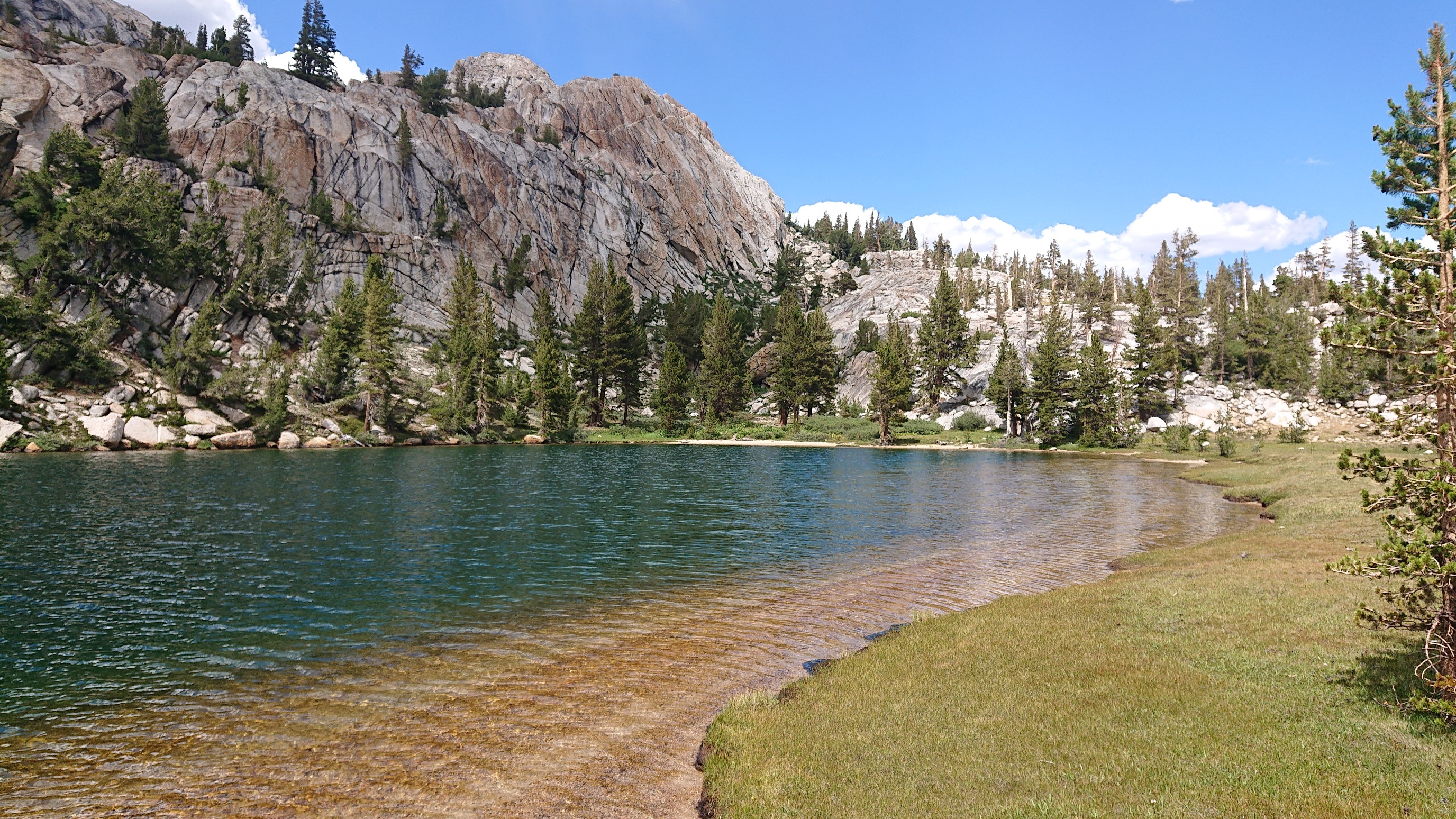
Swim #2, and with a sandy beach!
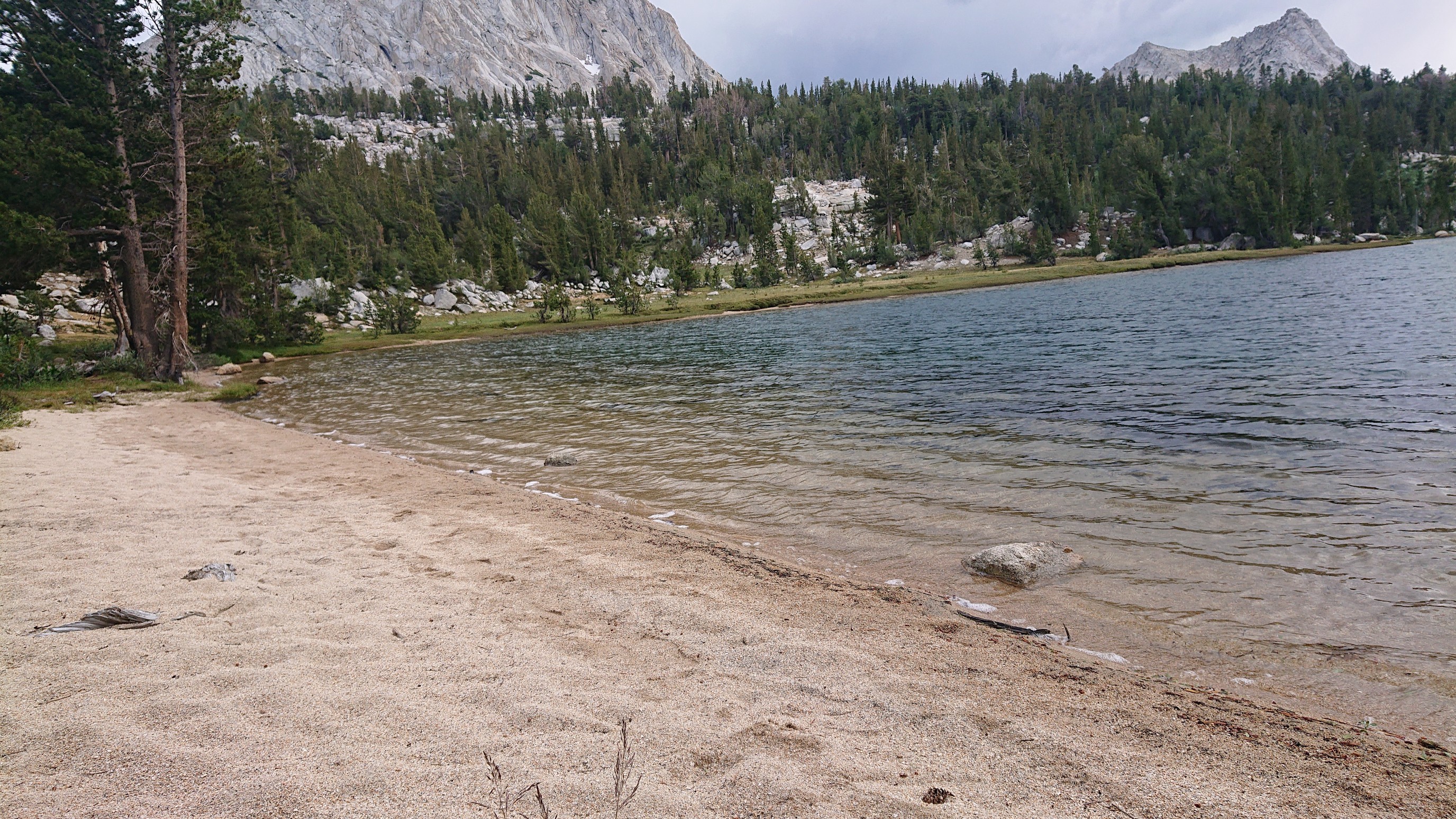
Thunderstorms were forming as usual, so I got back on the main trail. It descended slowly thru open meadows down to Tuolumne valley.
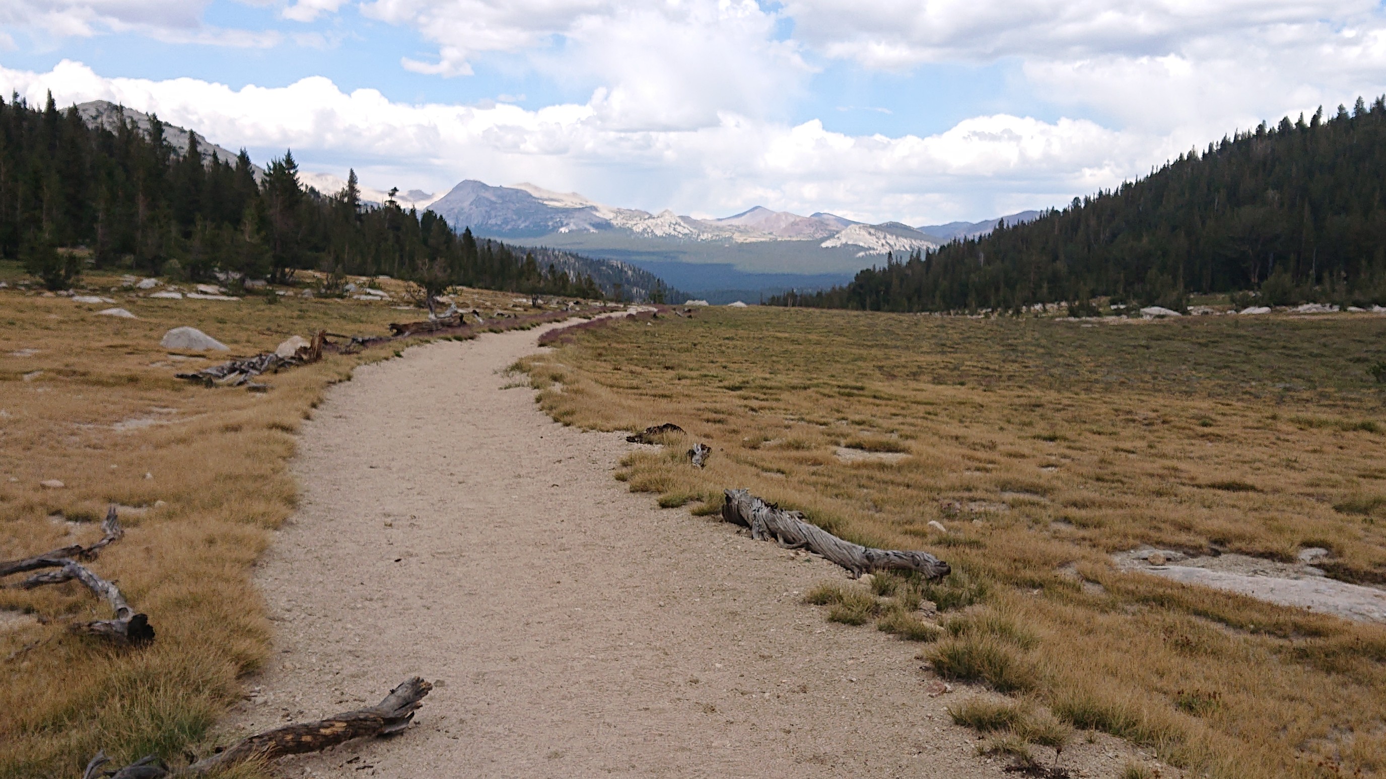
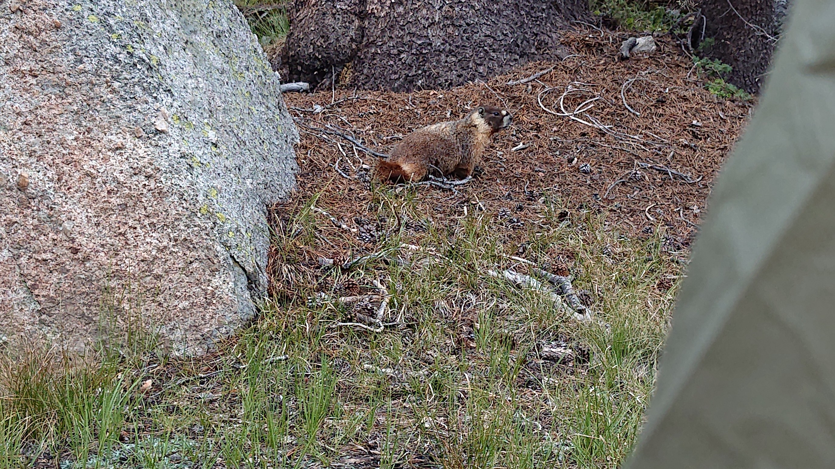
I had to stop and camp early, as camping is not allowed within 4 miles of Tuolumne Meadows. So I hit the 4mi boundary and found a spot. It was only 4:30pm, so I had plenty of time to watch the marmots nearby.
I read a book for a few hours, and it rained lightly outside for a little while. Nice relaxing day.
Booth Lake looks very cool!