Tuesday July 28, 12.6mi/20.3km
Lee Vining Creek (176.5/10,080ft) to Horse Creek Pass (189.1/10,680ft) (CA)
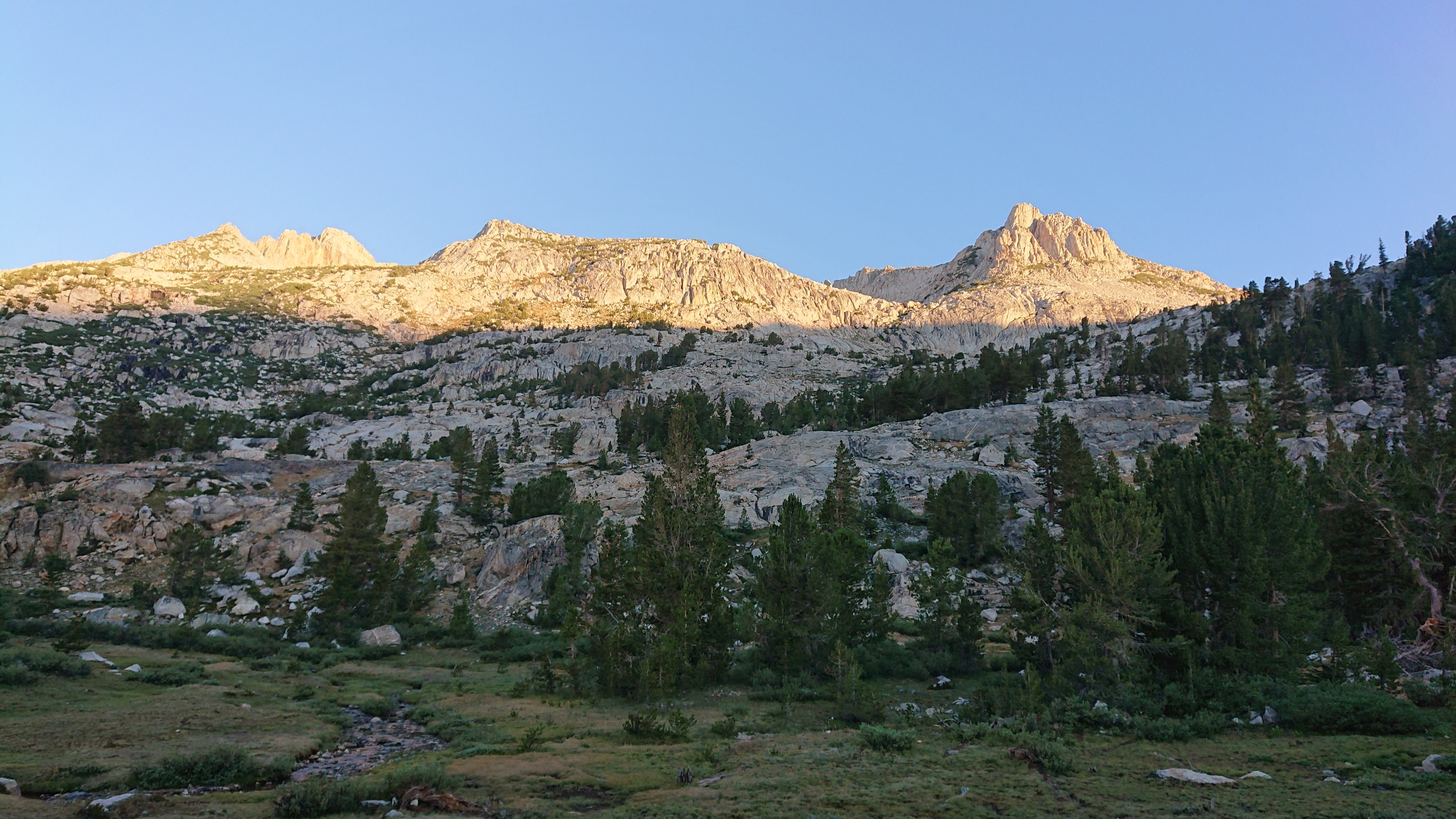
I knew today would be a ton of elevation change, so I have myself extra time and started at 6:30am. Sunrise on the mountains!
Less than an hour later, I was on Conness Pass. I think that is Greenstone Lake on the right.
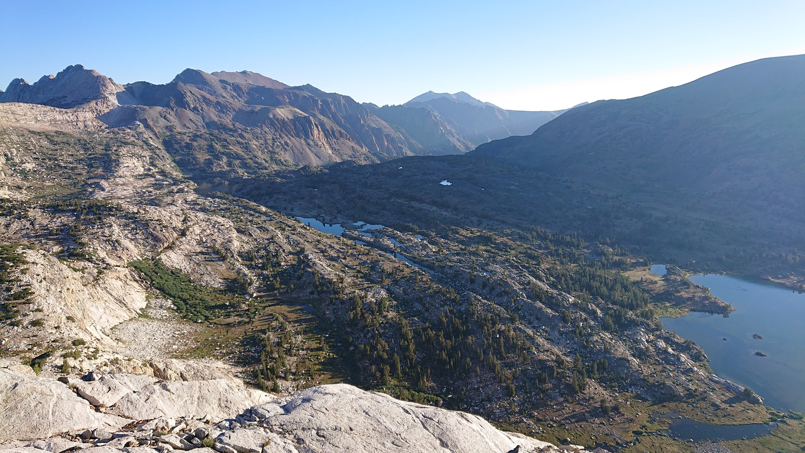
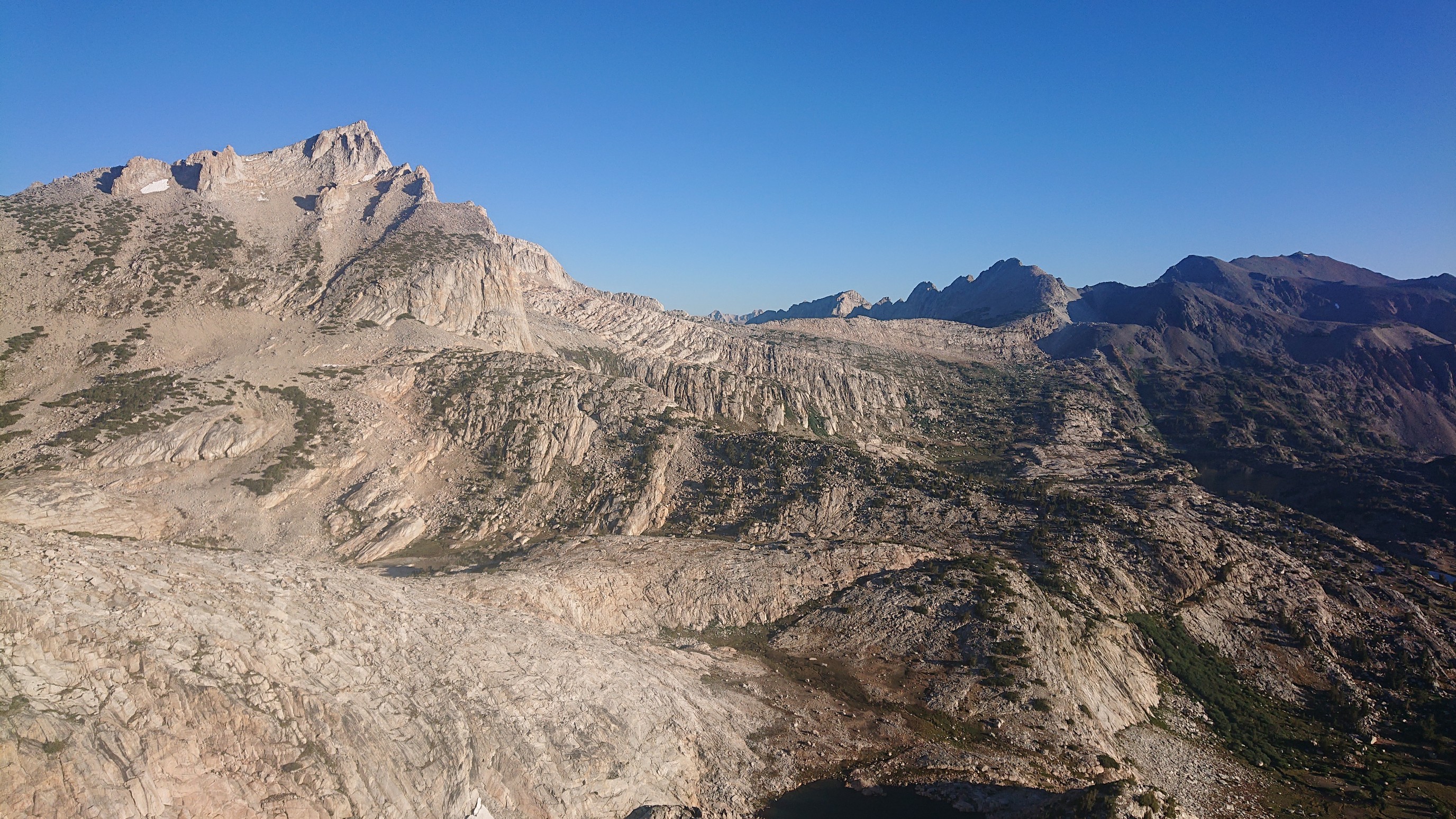
The view of pointy North Peak was impressive, and I had a preview of the route, the green ramps to the right.
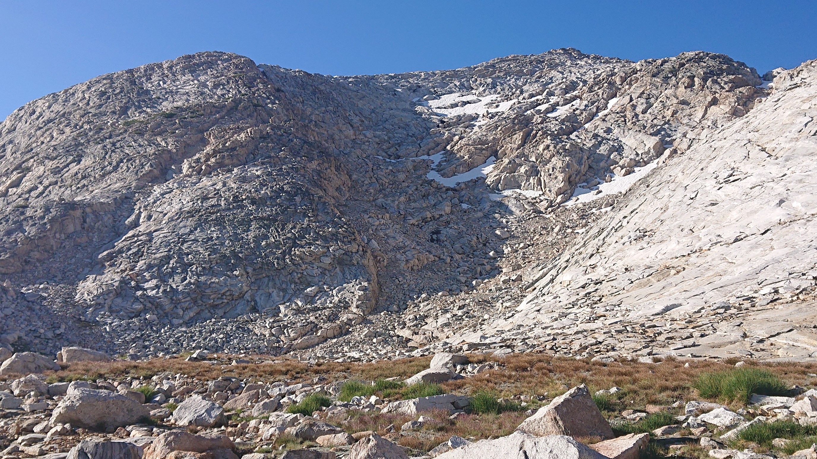
The descent off the pass was very exact, if I didn’t follow the instructions I would be stuck looking over a cliff. This photo is looking back what I came down, the shaded gully in the left-center.
I could see Cascade Lake just ahead, and my climb up to Sky Pilot Col, the low point just right of the center mountain.
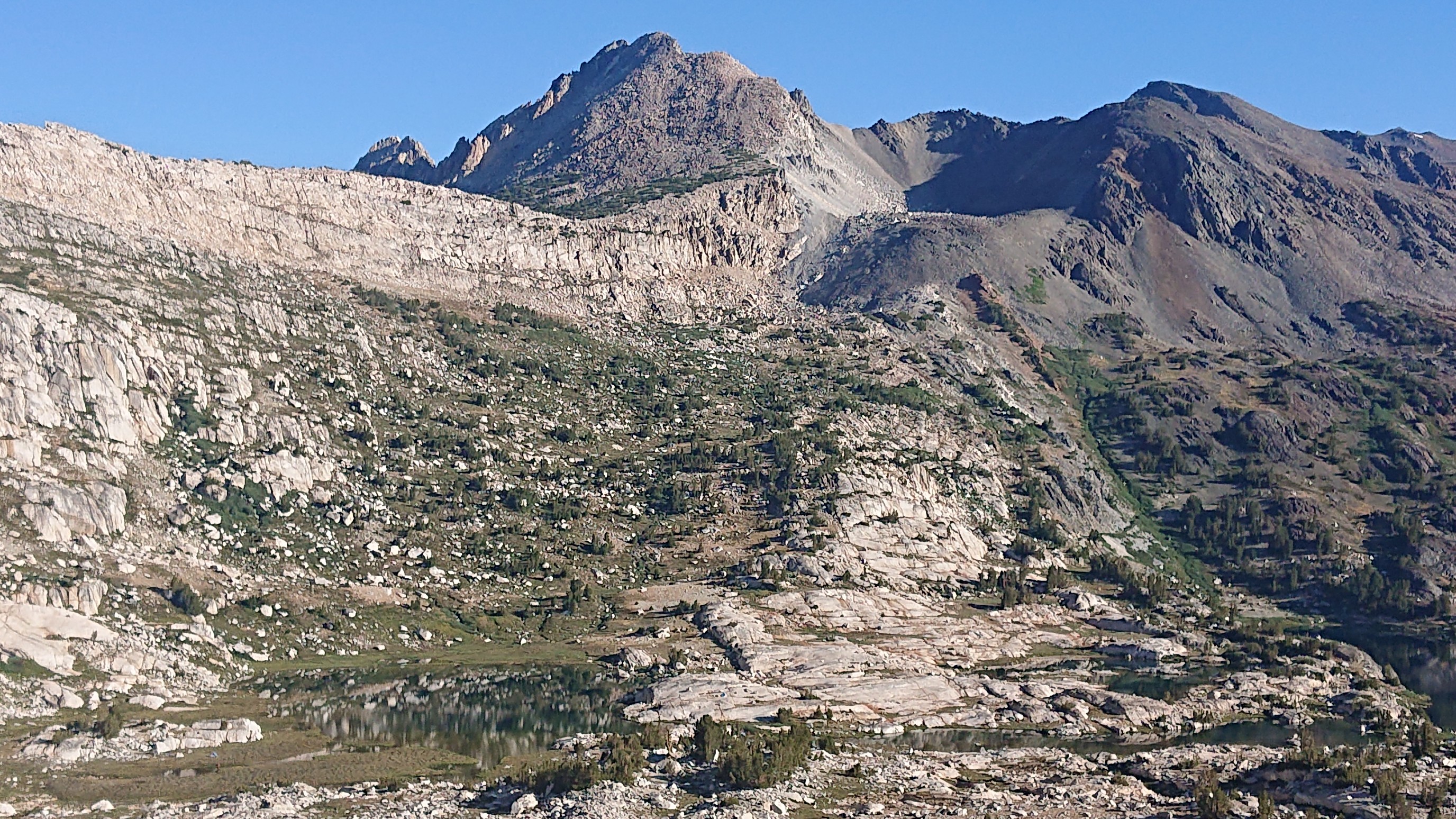
Cascade Lake was very reflective in the morning light.
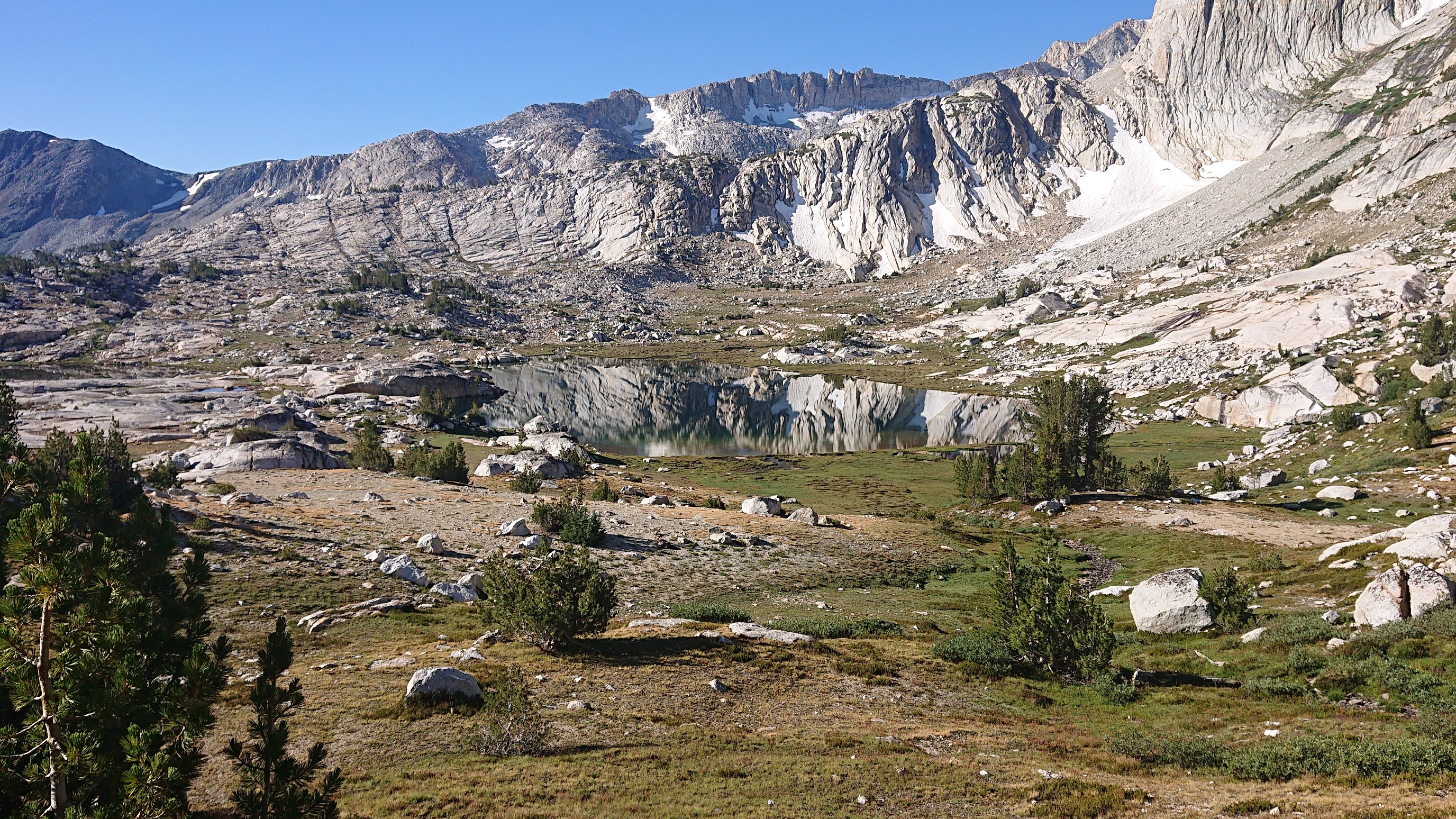
The climb up to Sky Pilot Col is interesting. The first half is on a trail, which ends at Secret Lake.
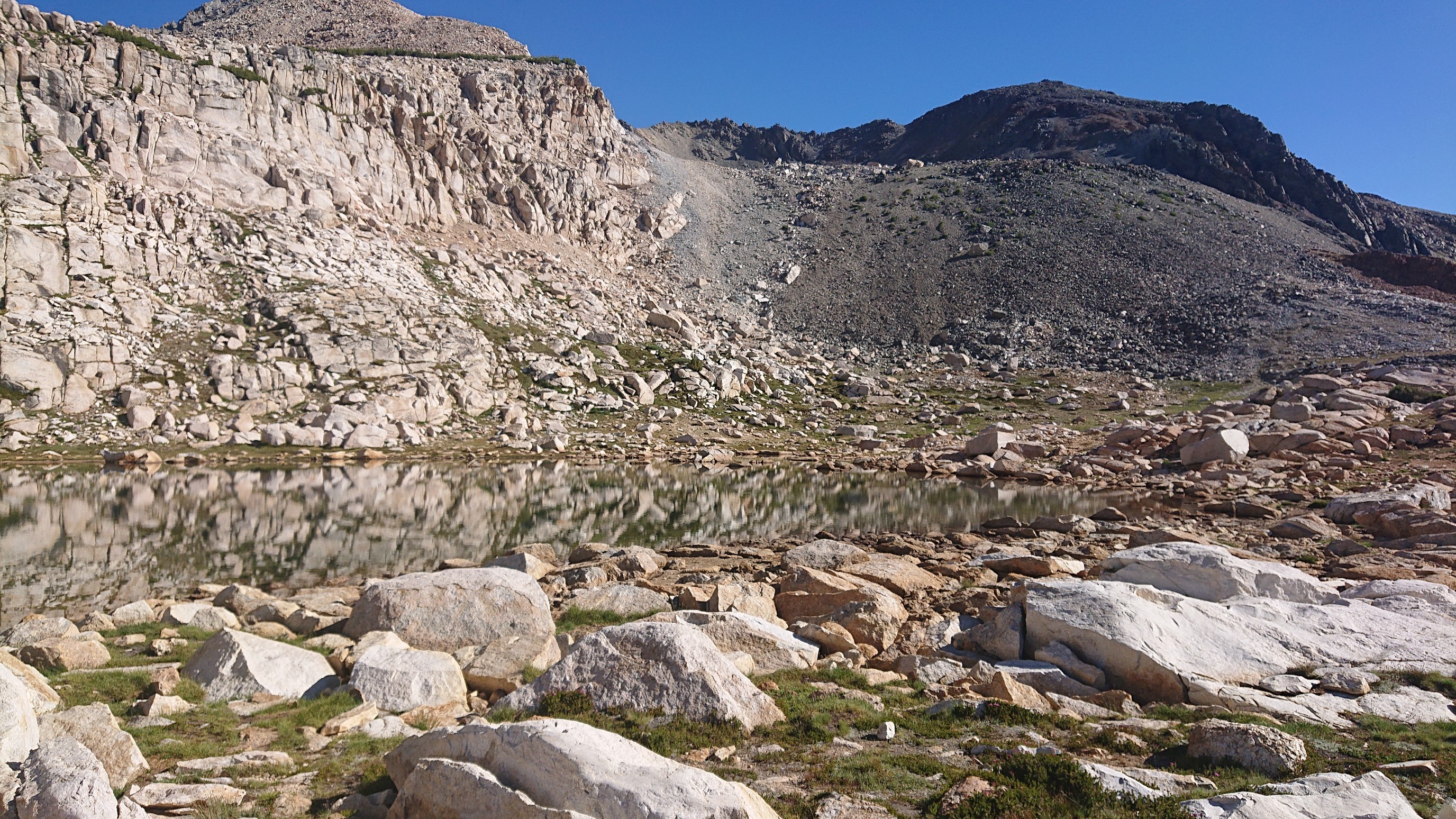
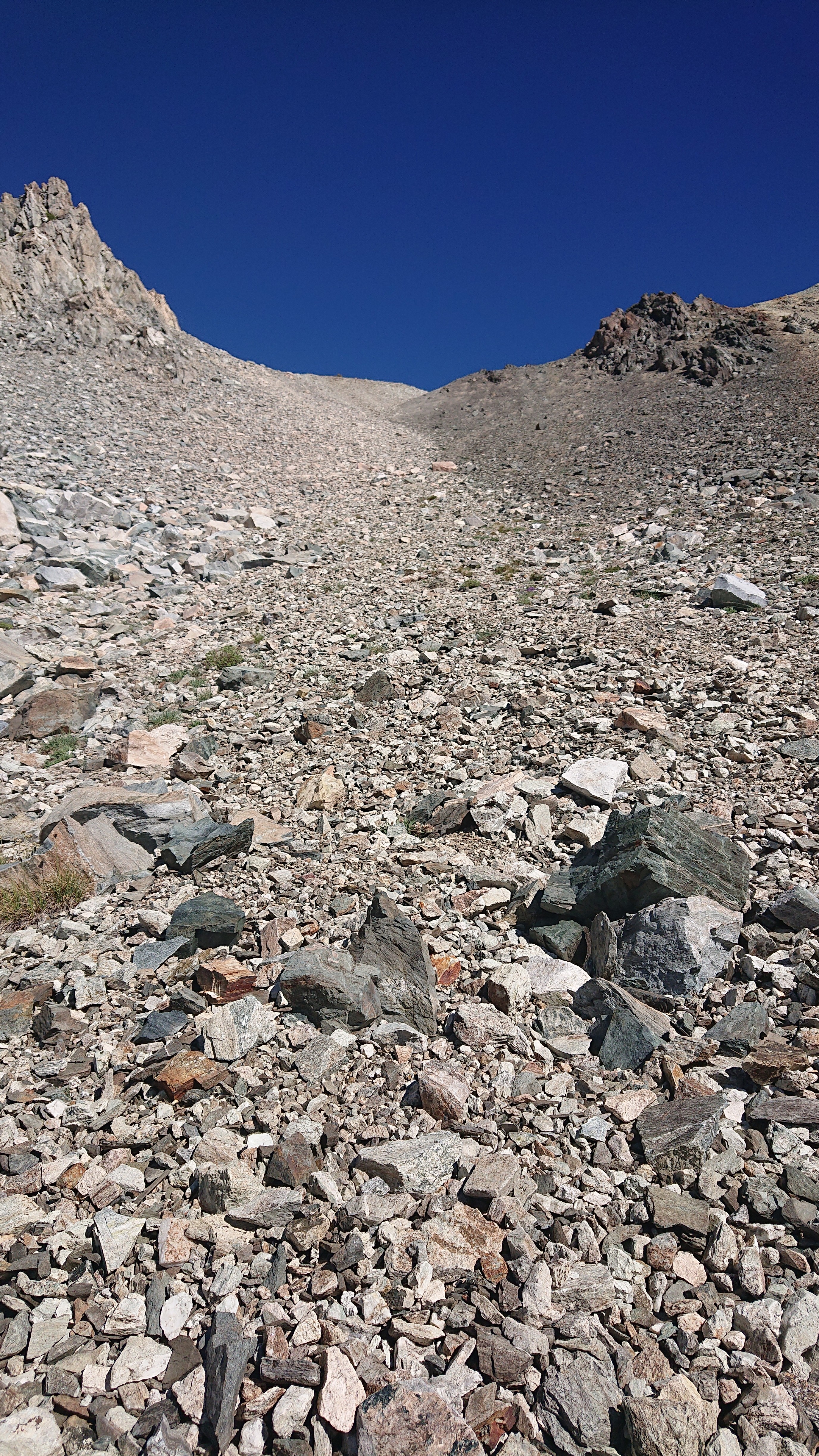
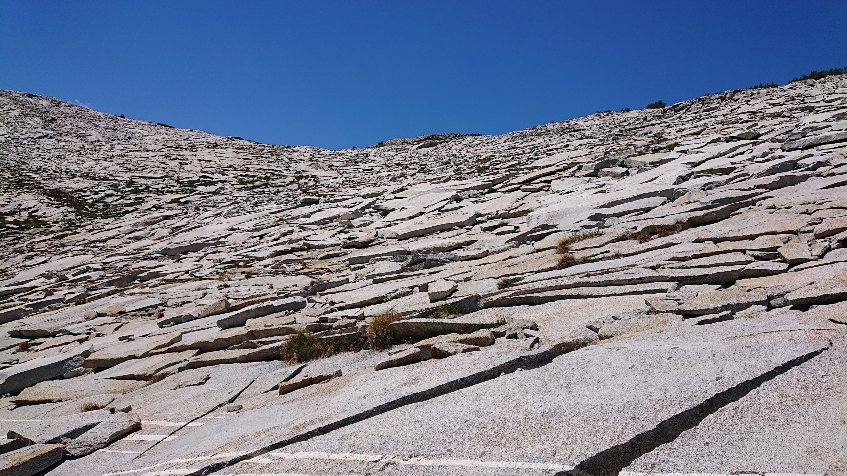
The next part ascended the talus field behind the lake. The final part is “a short but steep scree slope that most hikers will find offensive”, according to the guidebook author.
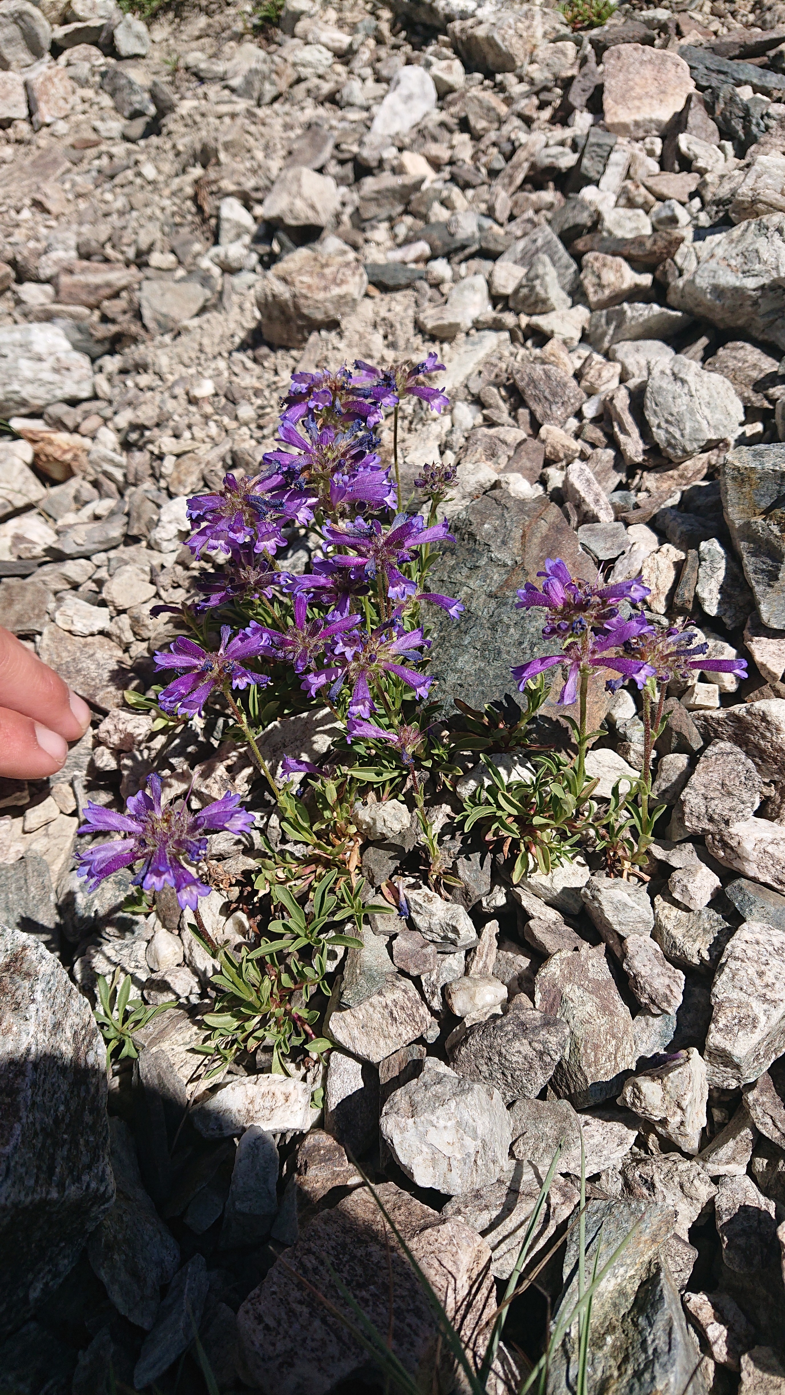
Sky Pilot Col is named for this blue-ish flower that blankets the pass, and only grows at high elevations. I think this is it.
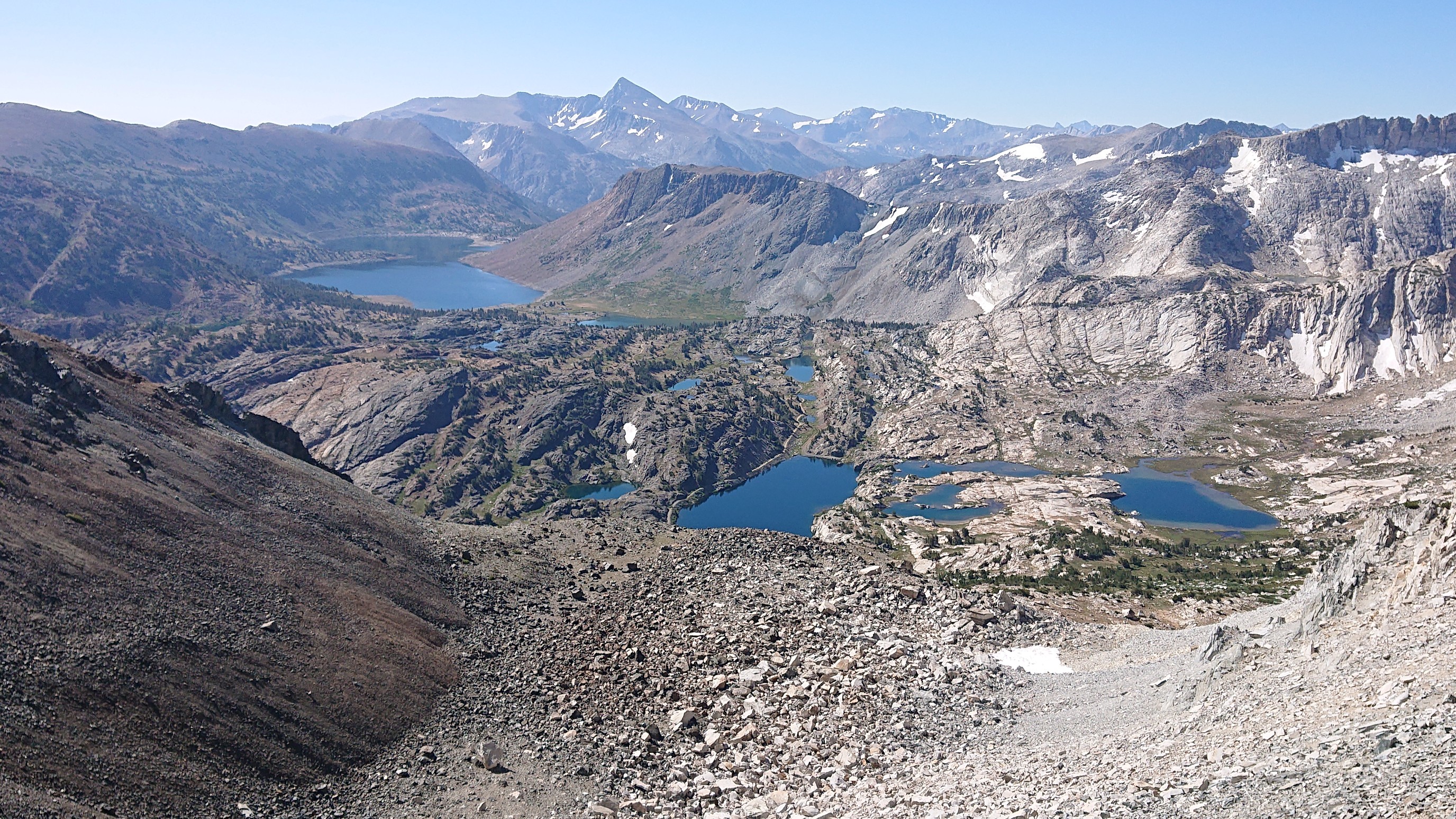
I arrived at the top of the pass sweaty, and it wasn’t hot out. Maybe the scree scamper can be a new fitness fad! The view back to the Saddlebag Lake, Cascade Lake, and Steelhead Lake was cool.
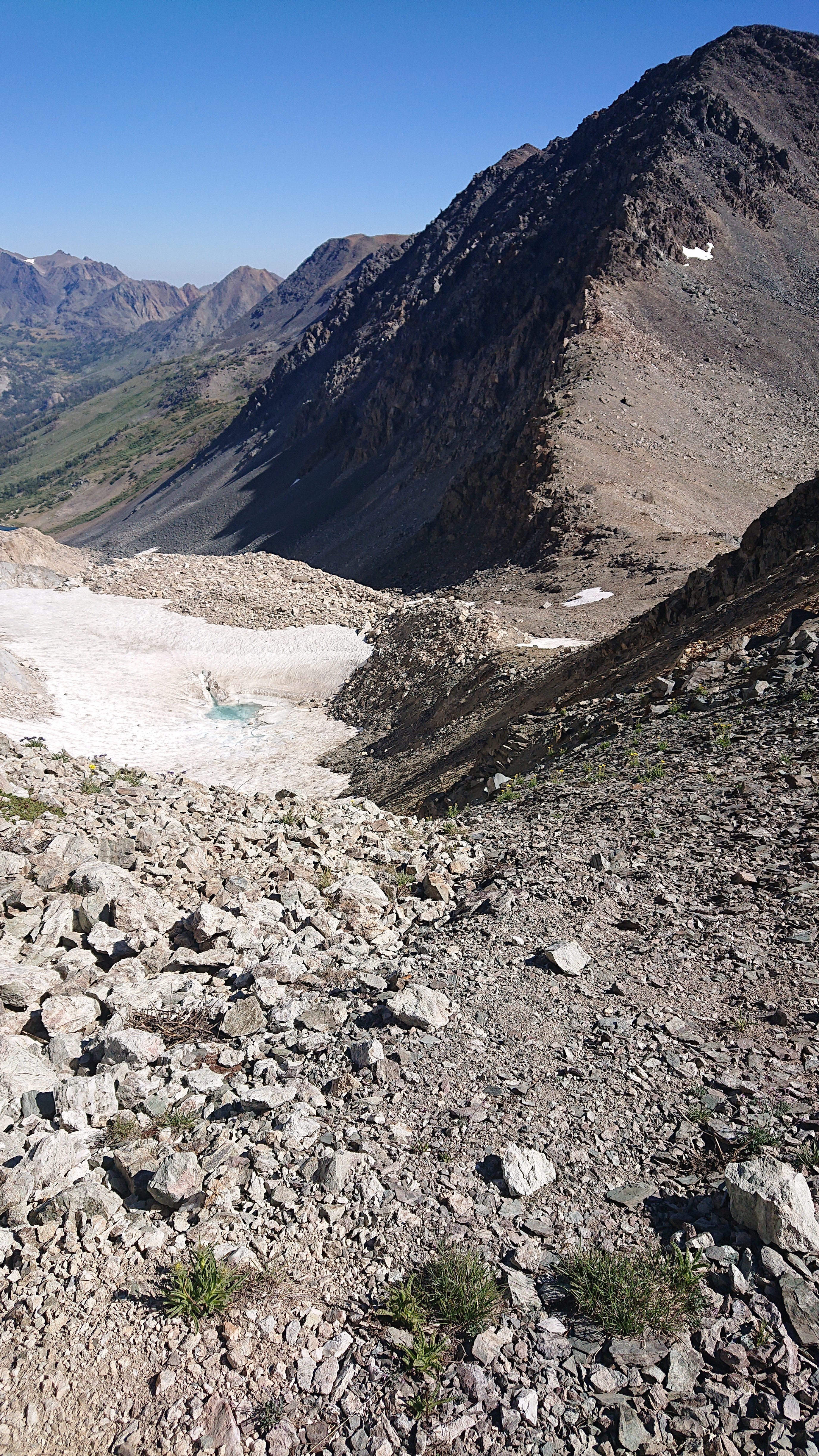
And the view ahead was worrisome, seeing all that talus!
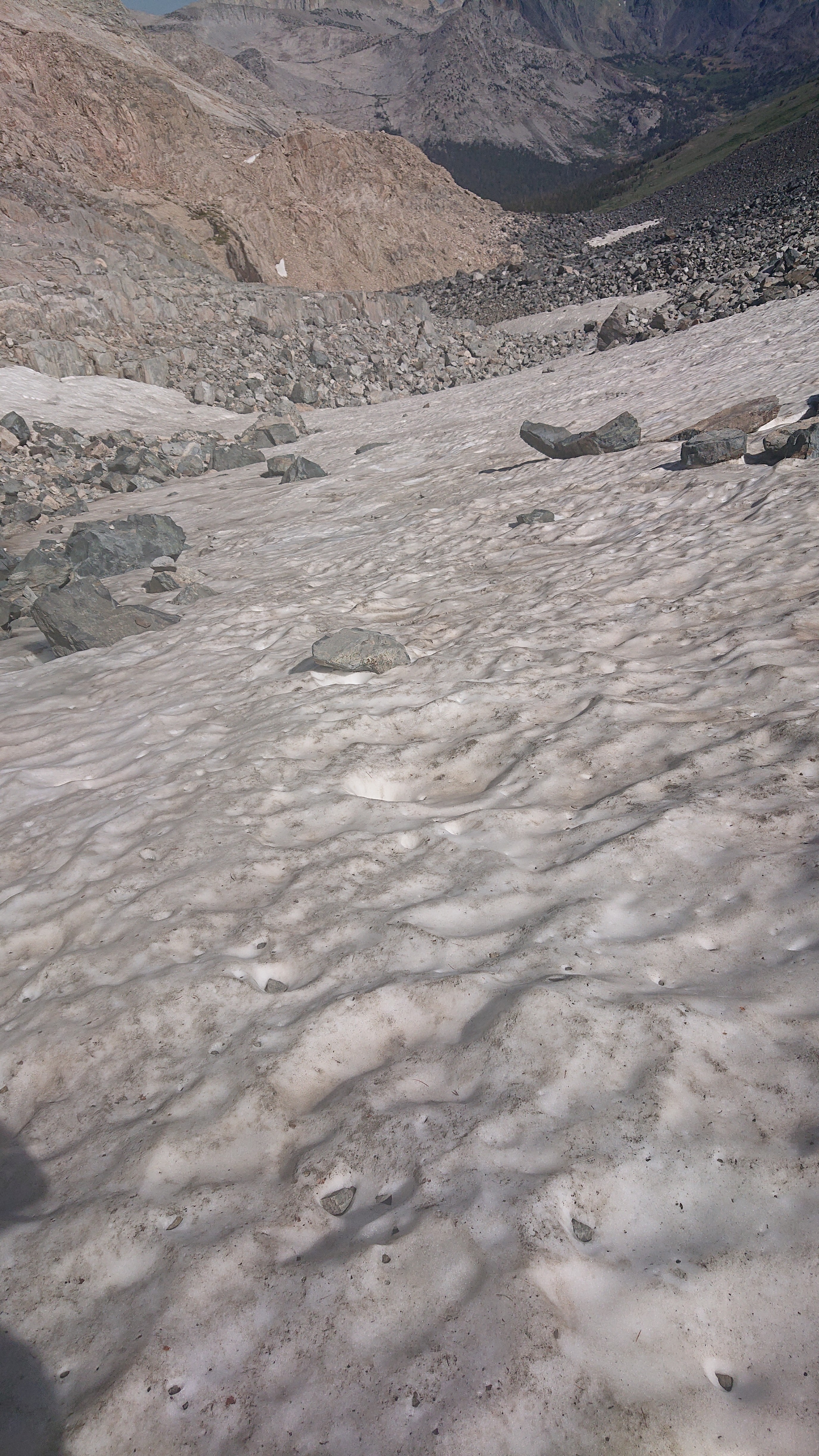
Fortunately, about a third of the descent was on snow, which was alot of fun.
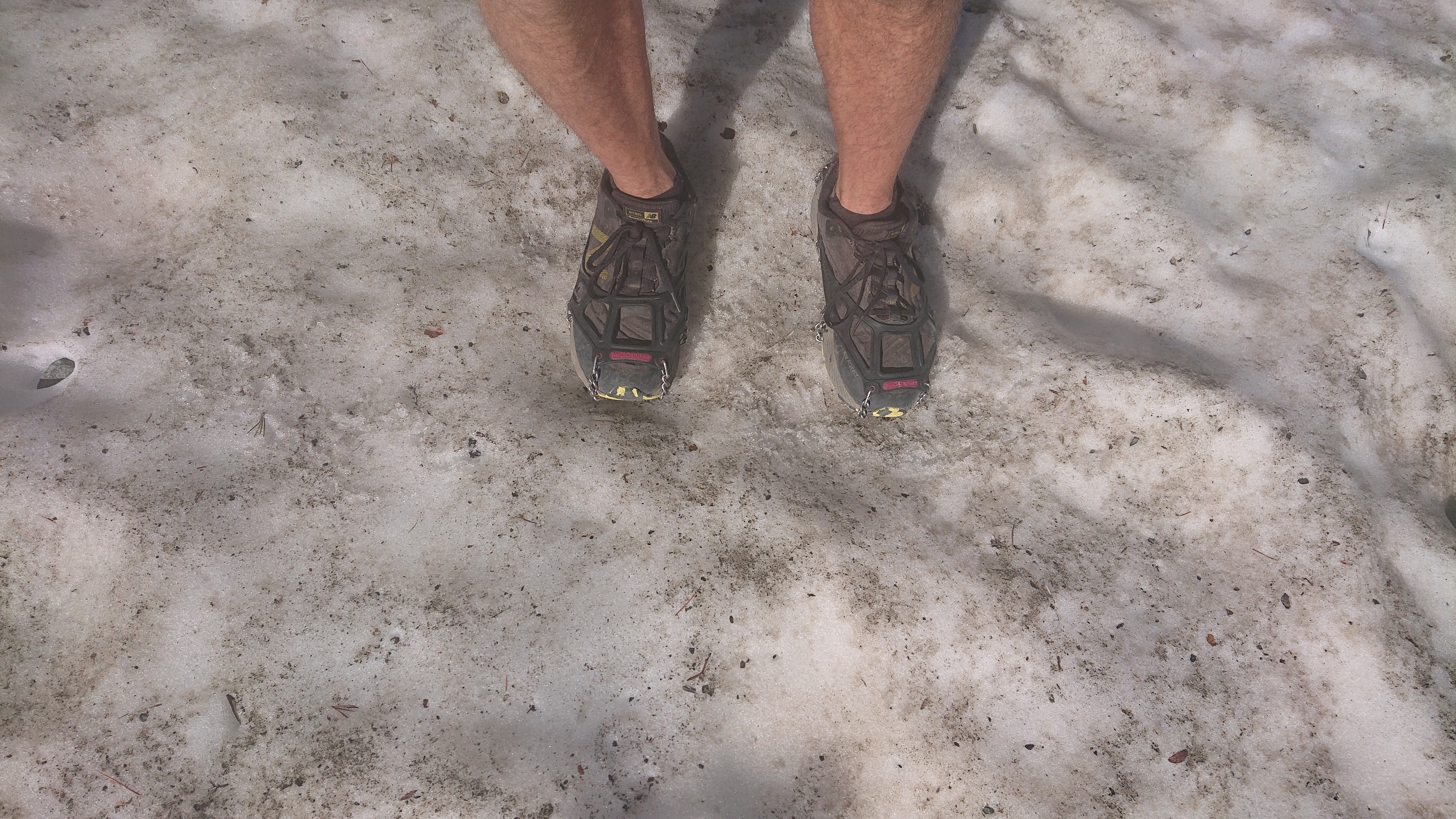
But eventually the snowfield ended, and there was SO MUCH talus.
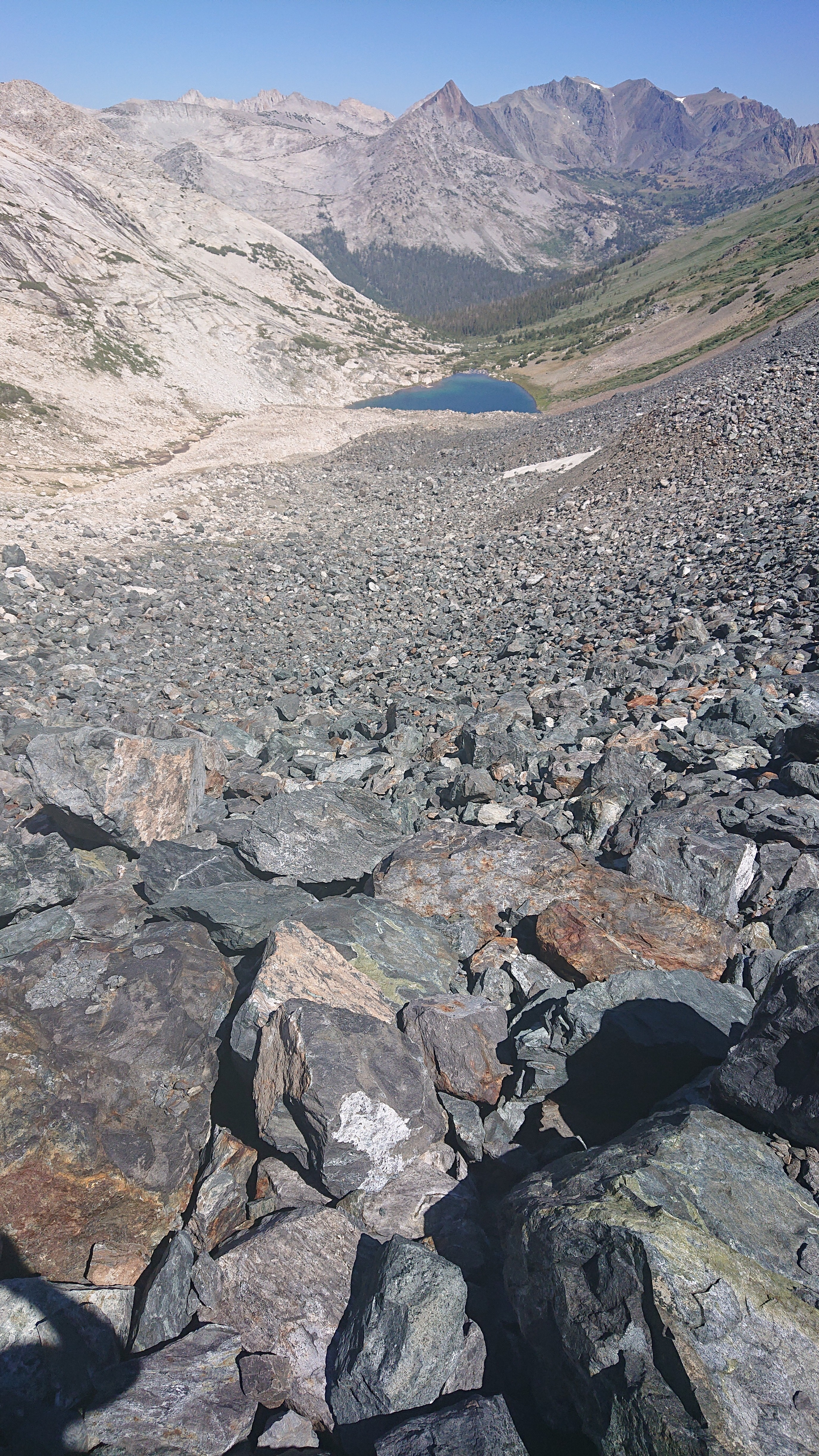
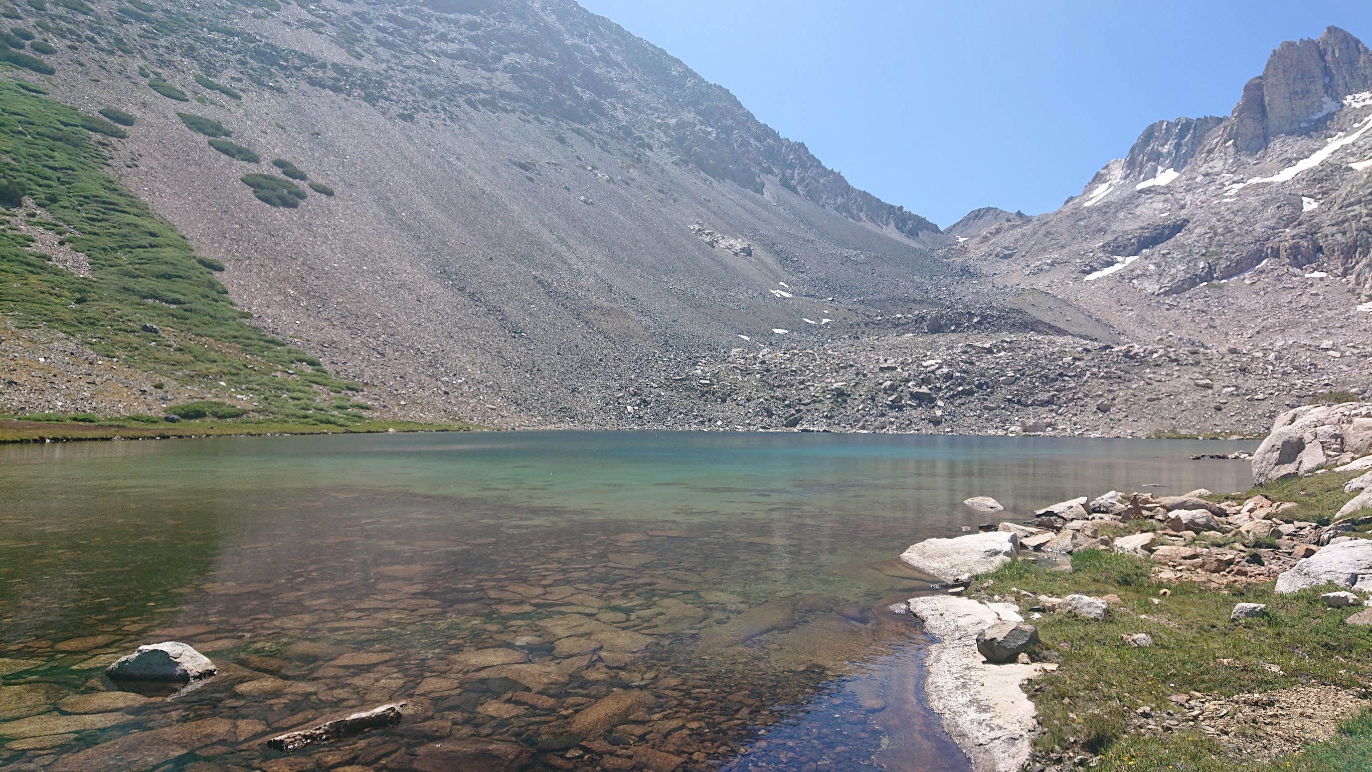
I was so happy to arrive at Shepherd Lake, where the talus finally ended.
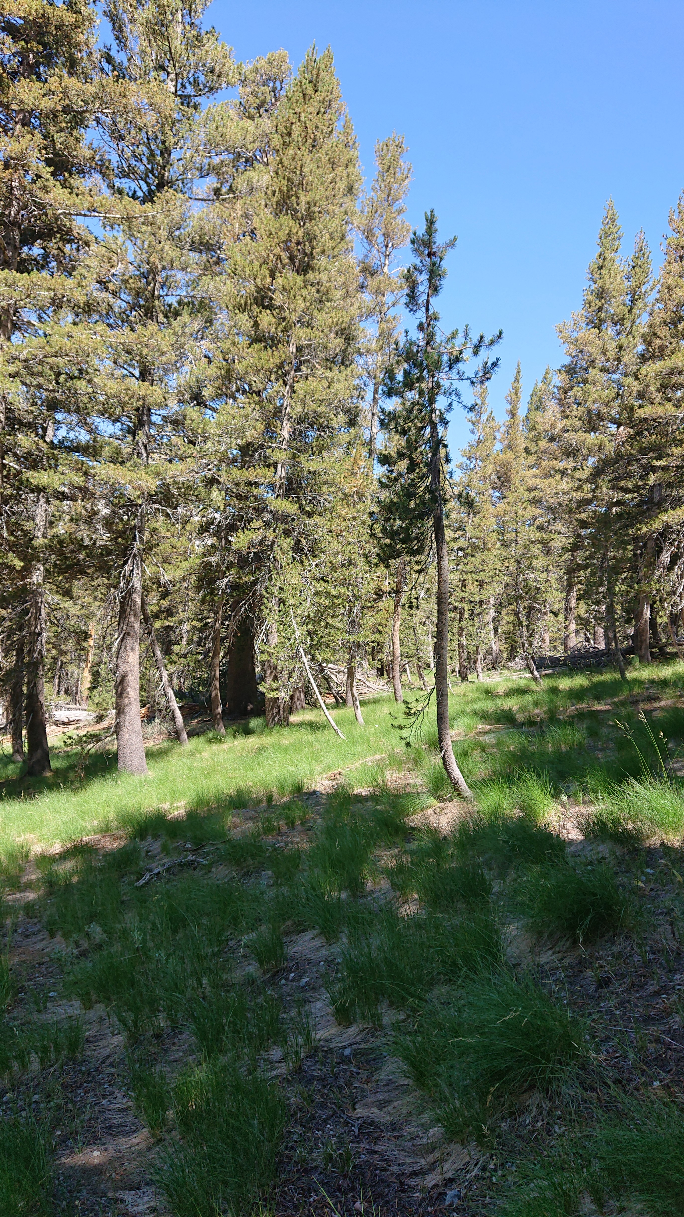
From there, it was a nice easy two mile jaunt downhill thru open forest, all the way down to Virginia Canyon.
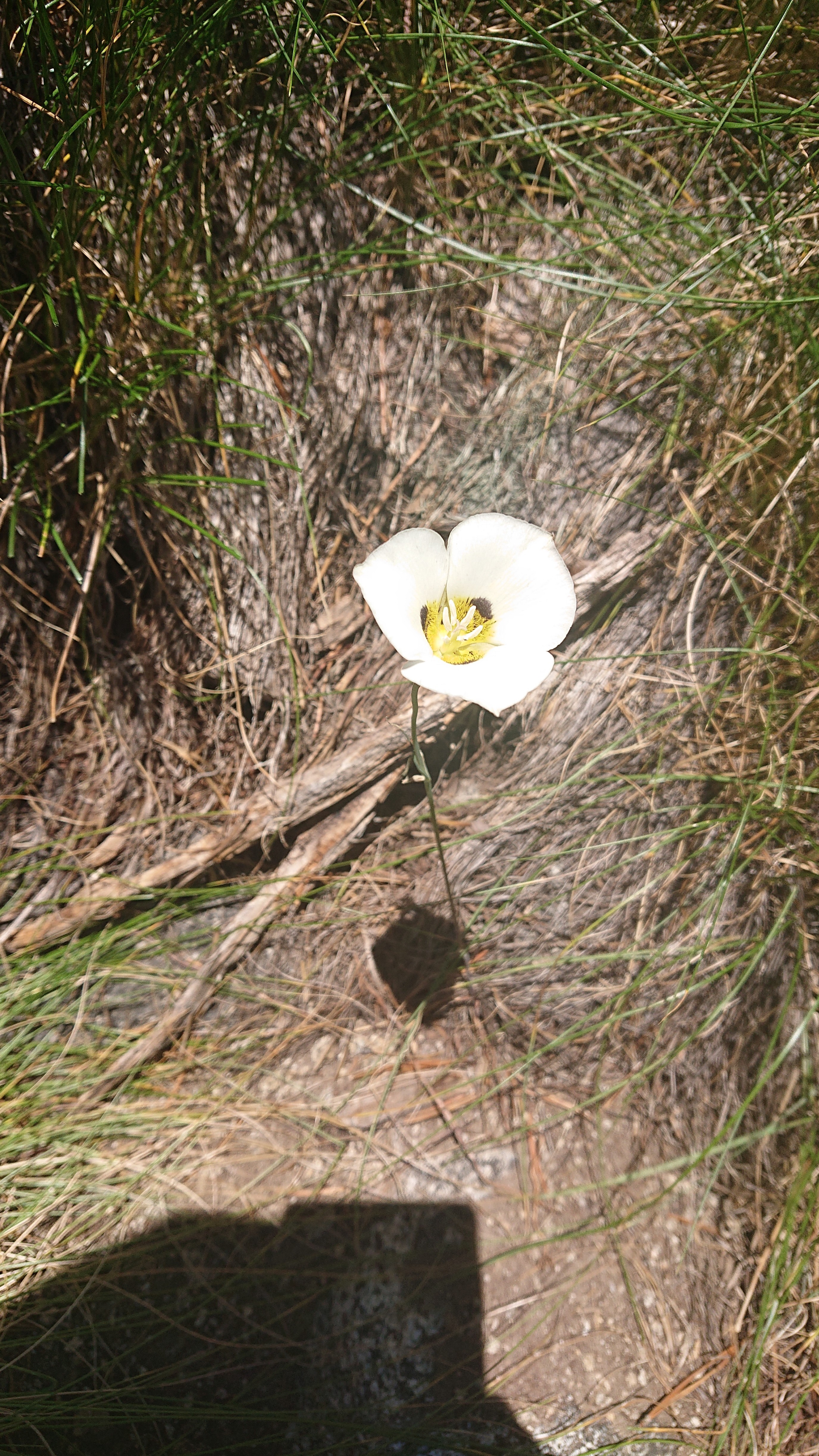
I saw a rare flower, the Mariposa Lily.
I had a long lunch in the canyon, swimming in the river and eating most of my remaining food. The climb up out of the canyon want by quickly, as I was endlessly entertained by the granite peeling off (“exfoliating”).
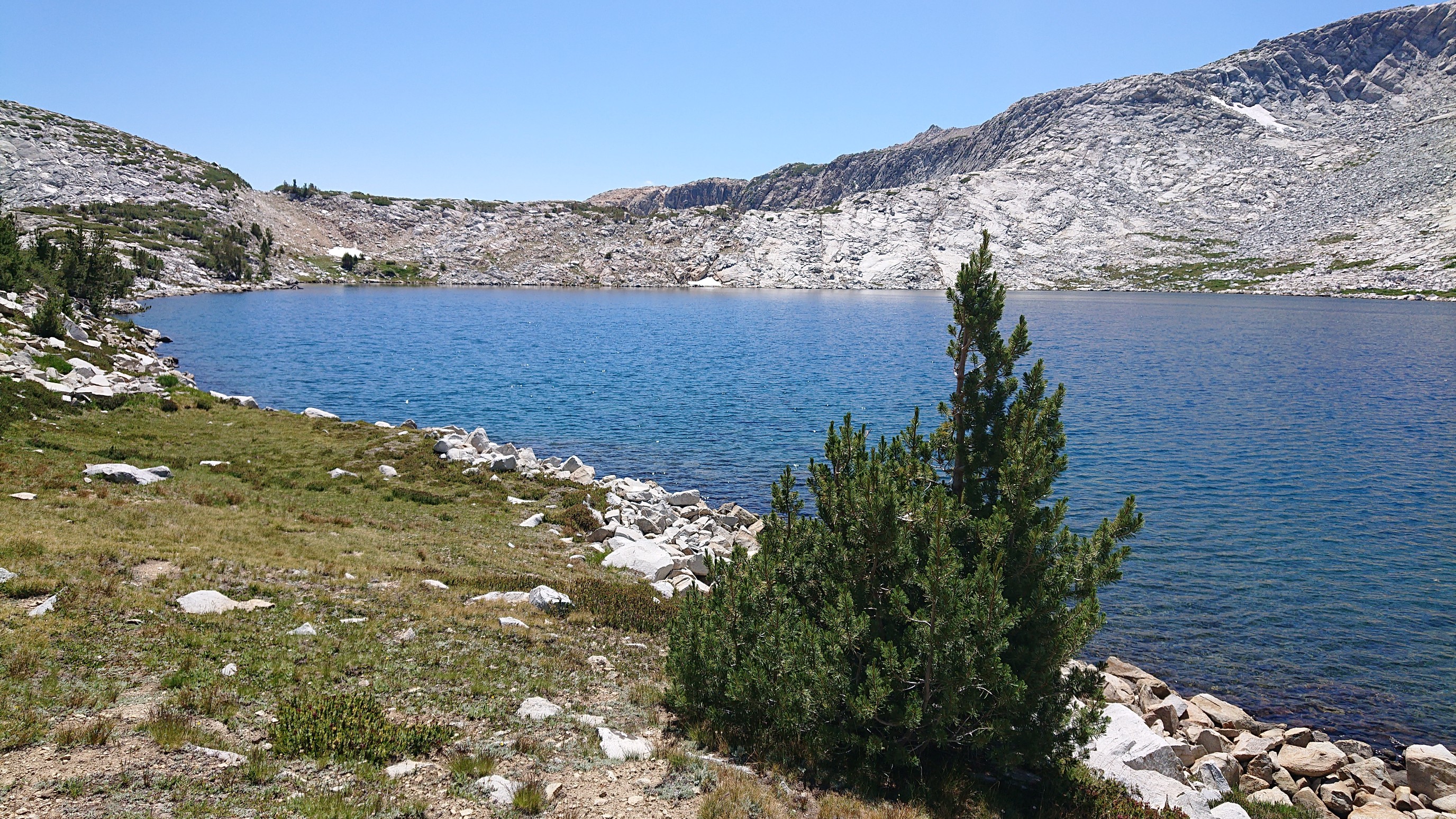
At the top of the 1400ft climb was Soldier Lake, the last lake on SHR. So of course one last swim.
The climb up to Stanton Pass was easy at first, and I had a close view of pointy, red Virginia Peak.
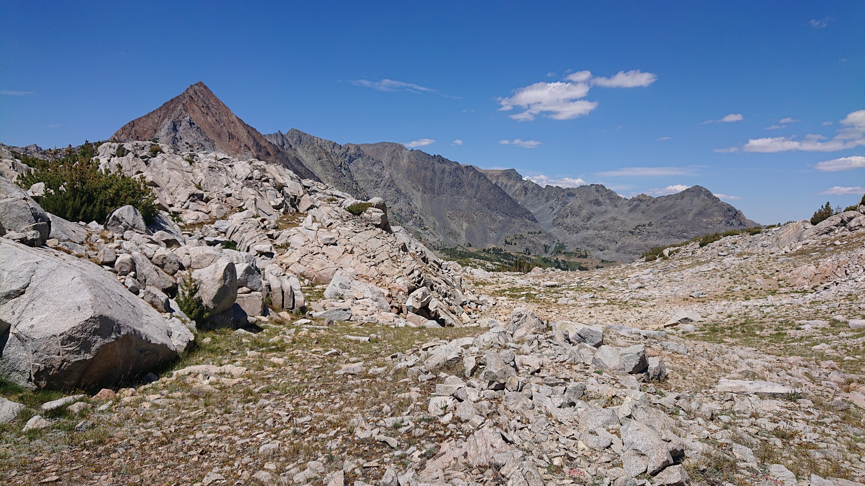
Up at almost 11,000ft/3300m, there was still snow.
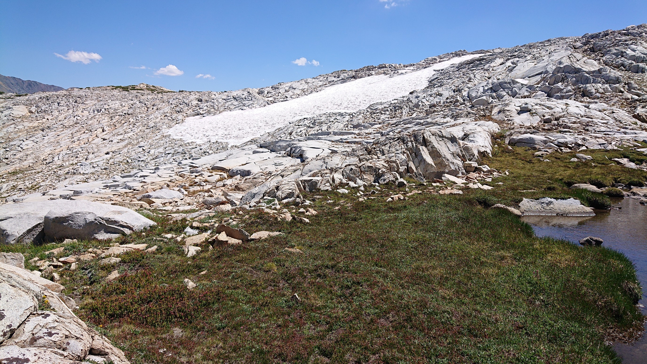
The final bit of climbing to the pass was confusing, as there were three notches in the ridge that all looked like “the” pass. Eventually I got over to the left notch, the correct one that allows a safe descent. I earned these views!
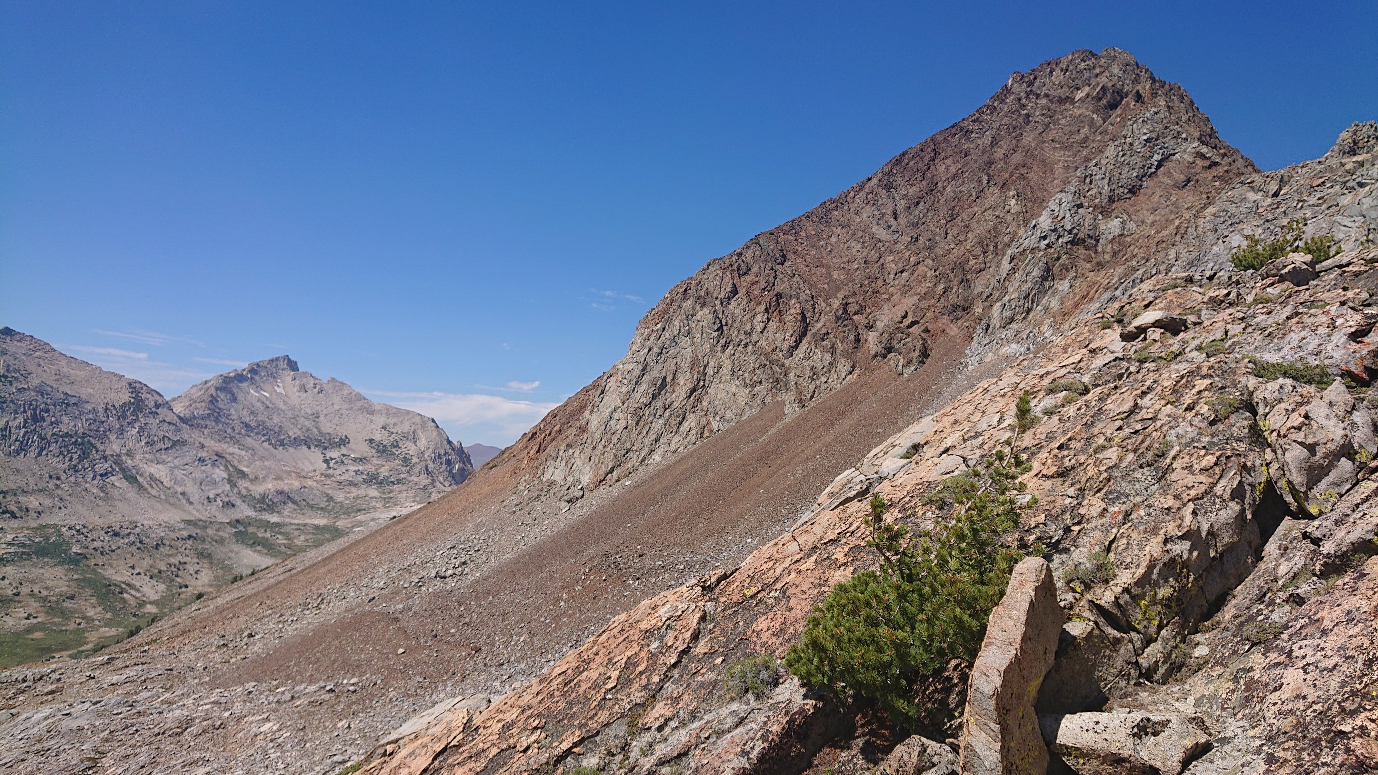
Looking down into Spiller Valley:
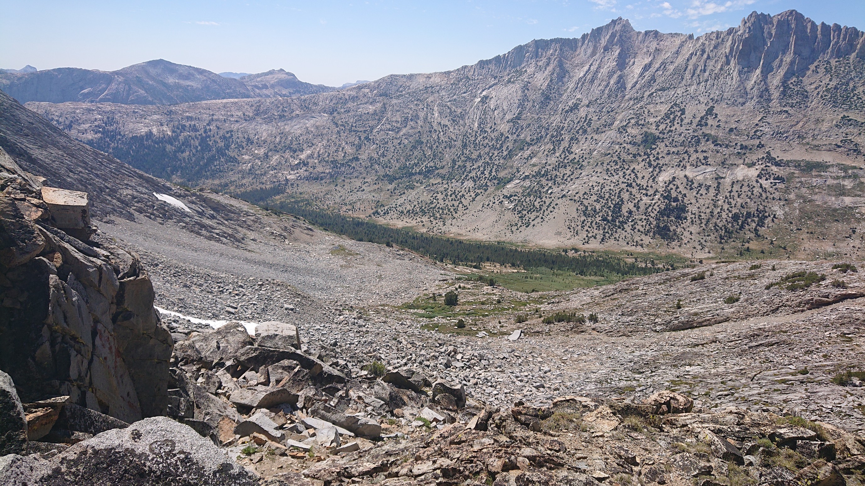
The descent was steeeep. The “class 2-3” descent involved many 5th class moves, which was very slow.
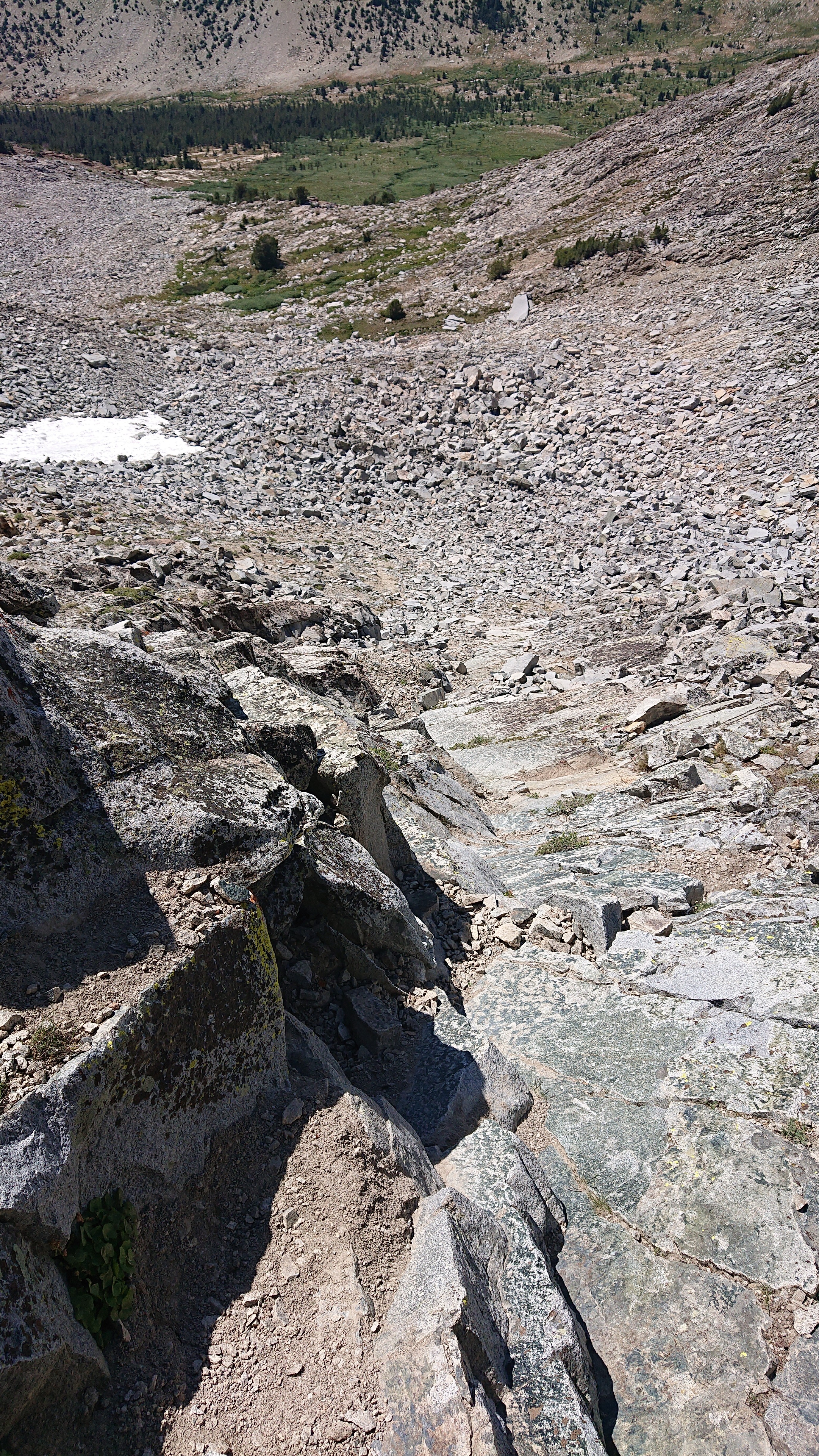
An hour later, I had dropped 300 feet and was now in easy meadows! The final pass of the SHR, Horse Creek Pass, is in the distance.
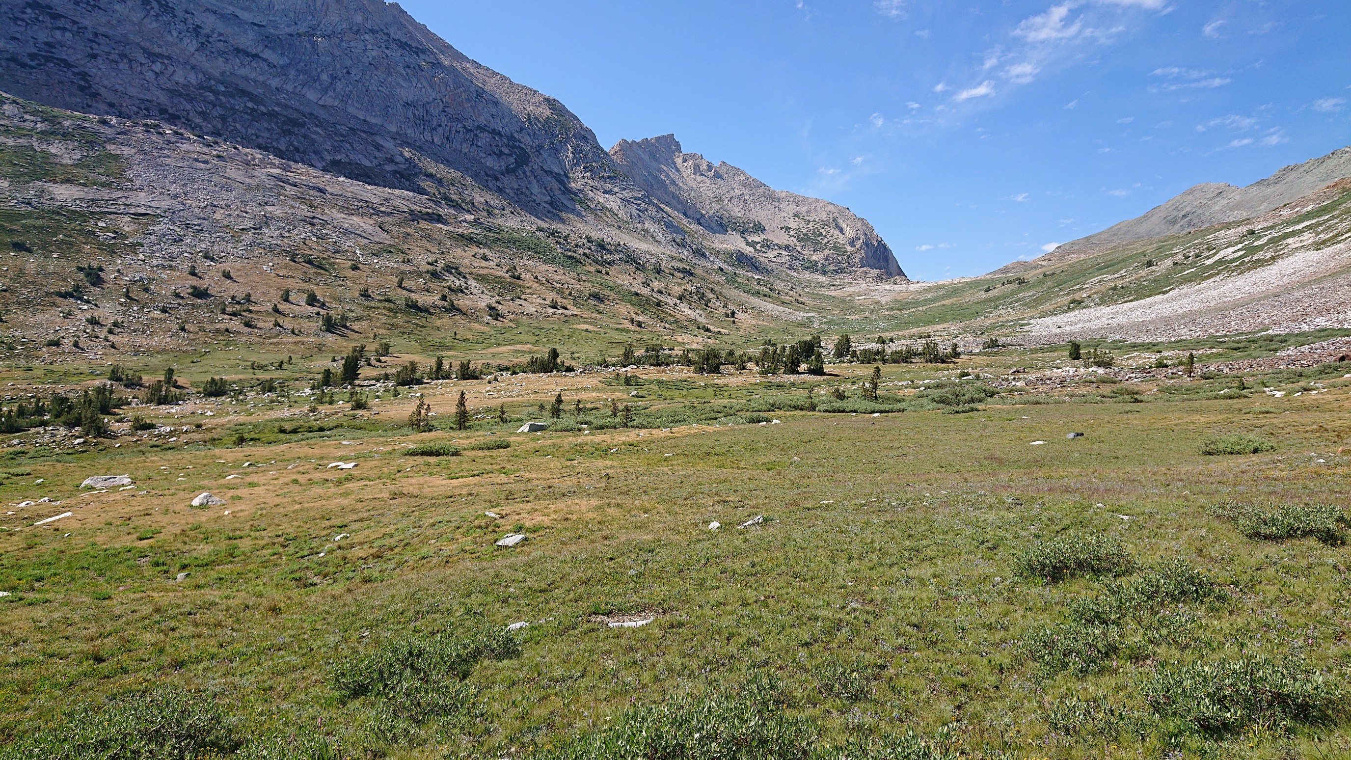
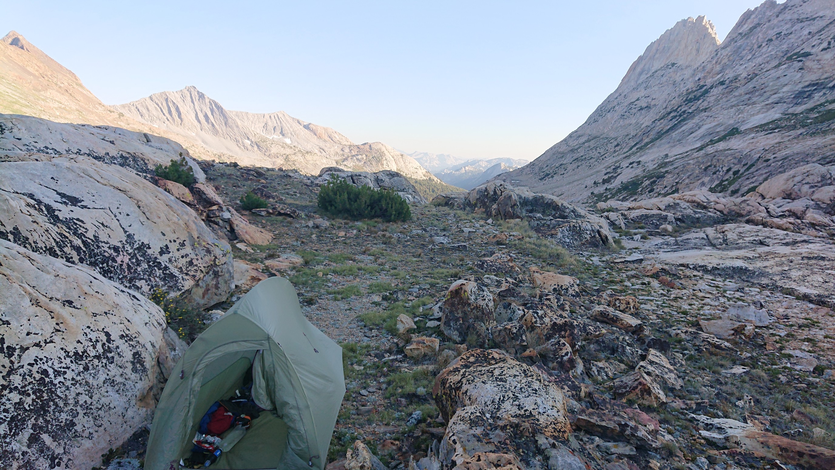
I got to Horse Creek Pass at 5:30pm and made camp.
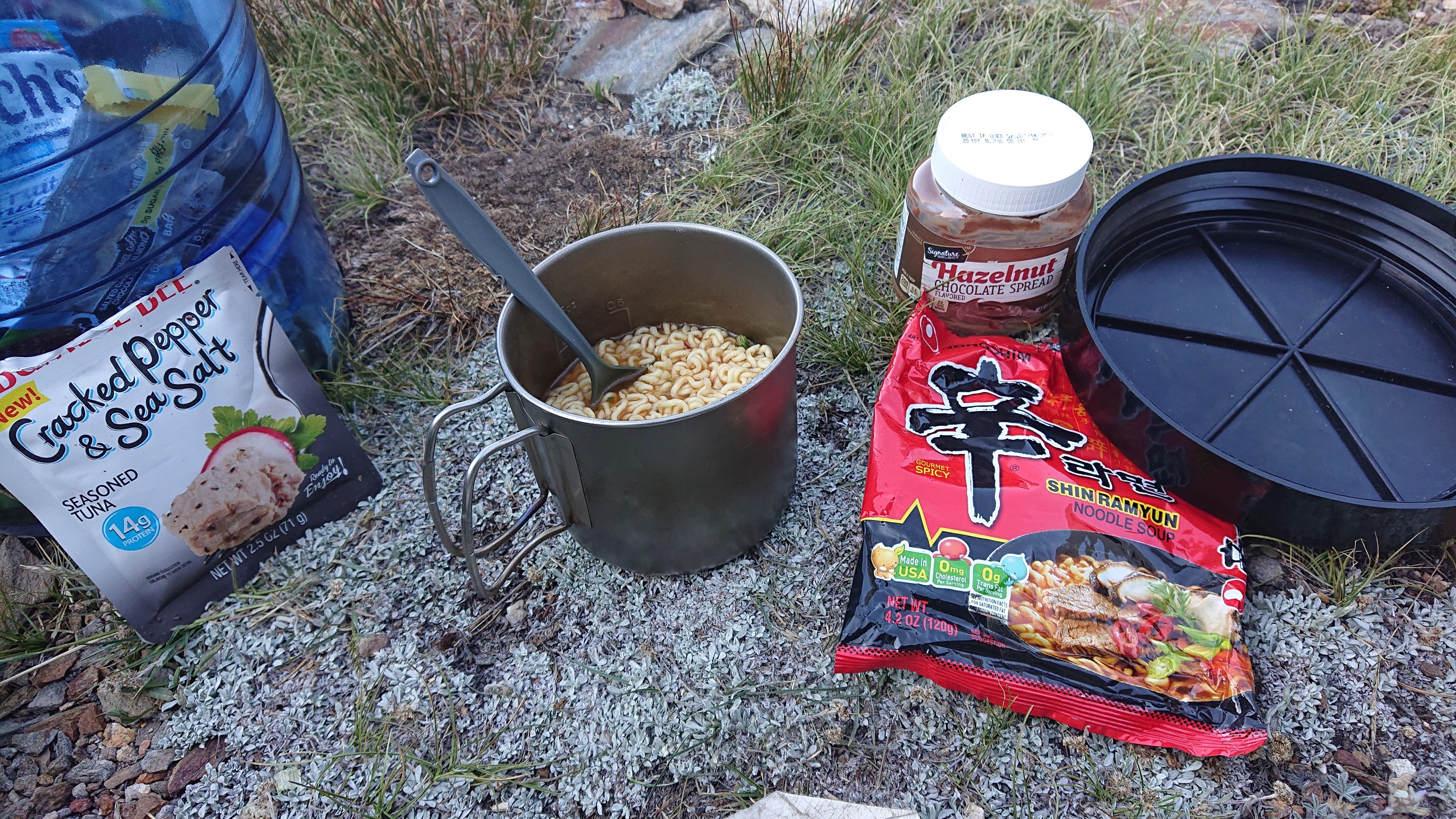
And I made a fun dinner, my last one on the SHR.
I didn’t cover much distance today, but the 5344ft/1600m of elevation gain was tiring!
Hi Recon . . . Margaret from Bend here. The pink flower you saw is a penstemon, not a sky pilot. Different families. Penstemons very common. Sky Pilot is rare and Polemonium genus. Penstomon Scrophulariaceae genus. Sky Pilot have blue or white flowers and rounded lobes.
Thanks! for the wonderful alpine shots on this trip. Fantastic!! You sure cover the ground.