Tuesday February 23, 9.8mi/15.8km
Wakely Dam (64.1/2140ft) to First Cedar Lake Lean-to (73.9/2420ft) (NY)
The snow had stopped during the night, and we woke up to a mostly overcast, but dry, morning. We packed up camp faster than usual, and were on skis before 7am. The NPT stays on the road, which parallels the lakeshore of the Cedar River Flow (confusingly, this is the name of the lake, and not the river). So, we skiied on the frozen lake for over an hour.
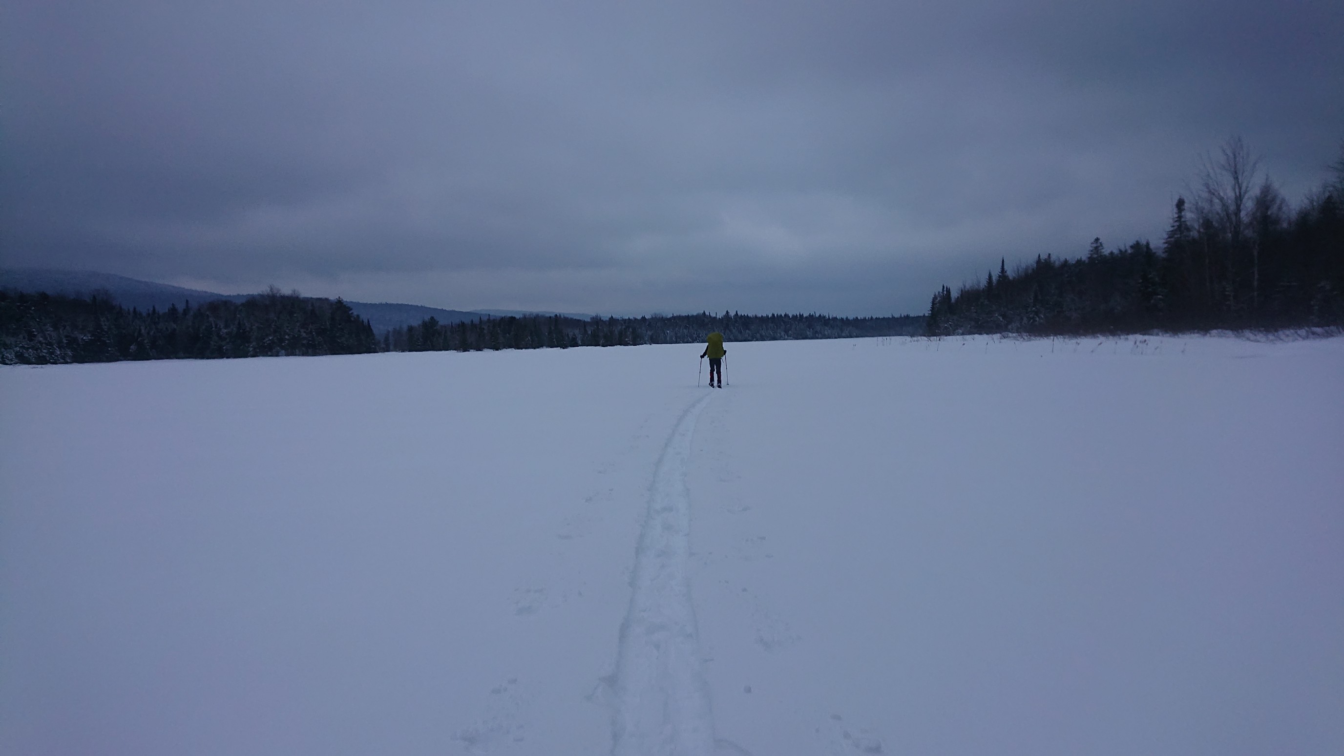
Looking back to the north:
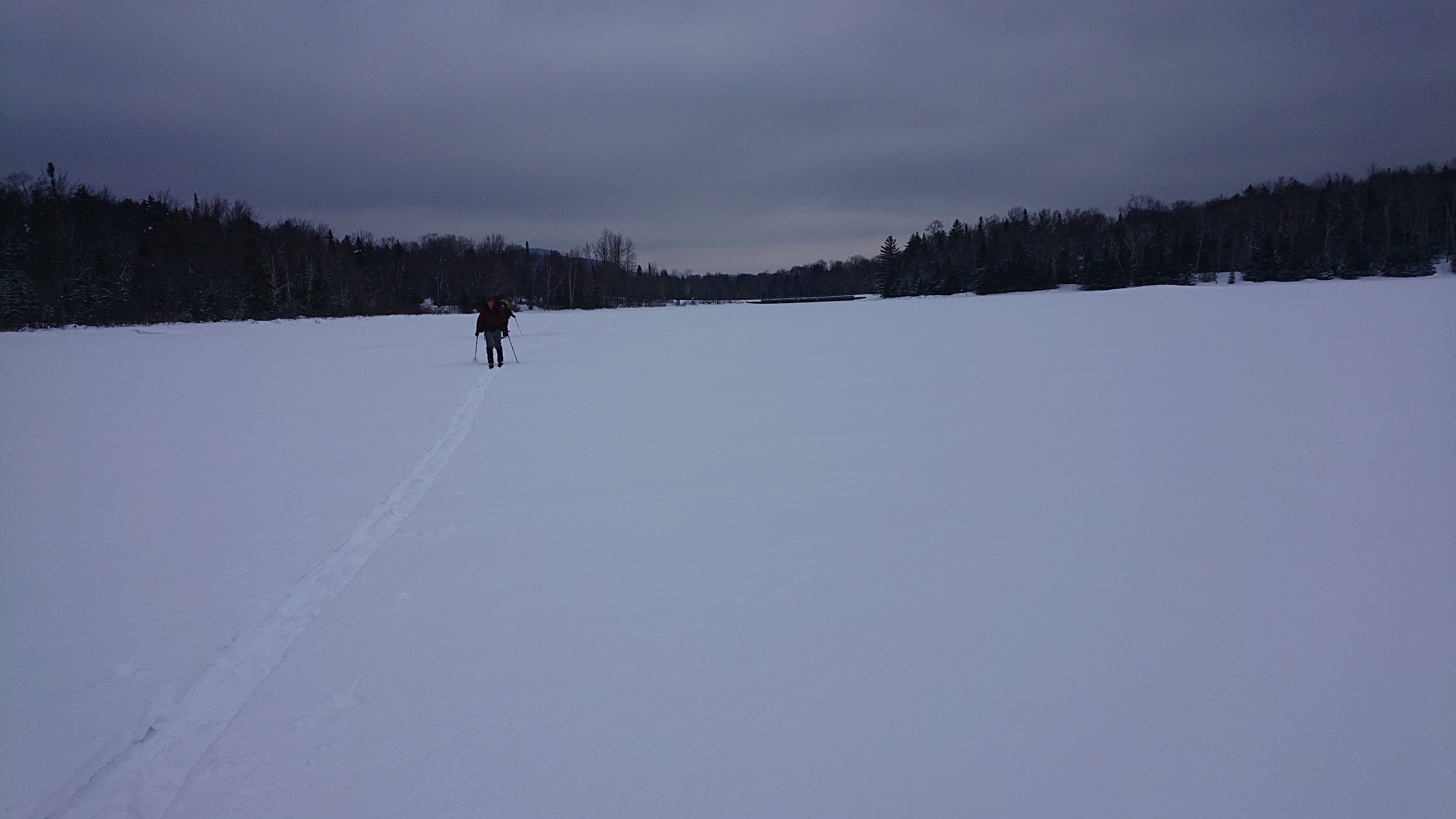
We exited the lake near the southern end, at the Cedar River Flow tentsite. The trail was completely unbroken in this section, and we moved much more slowly.
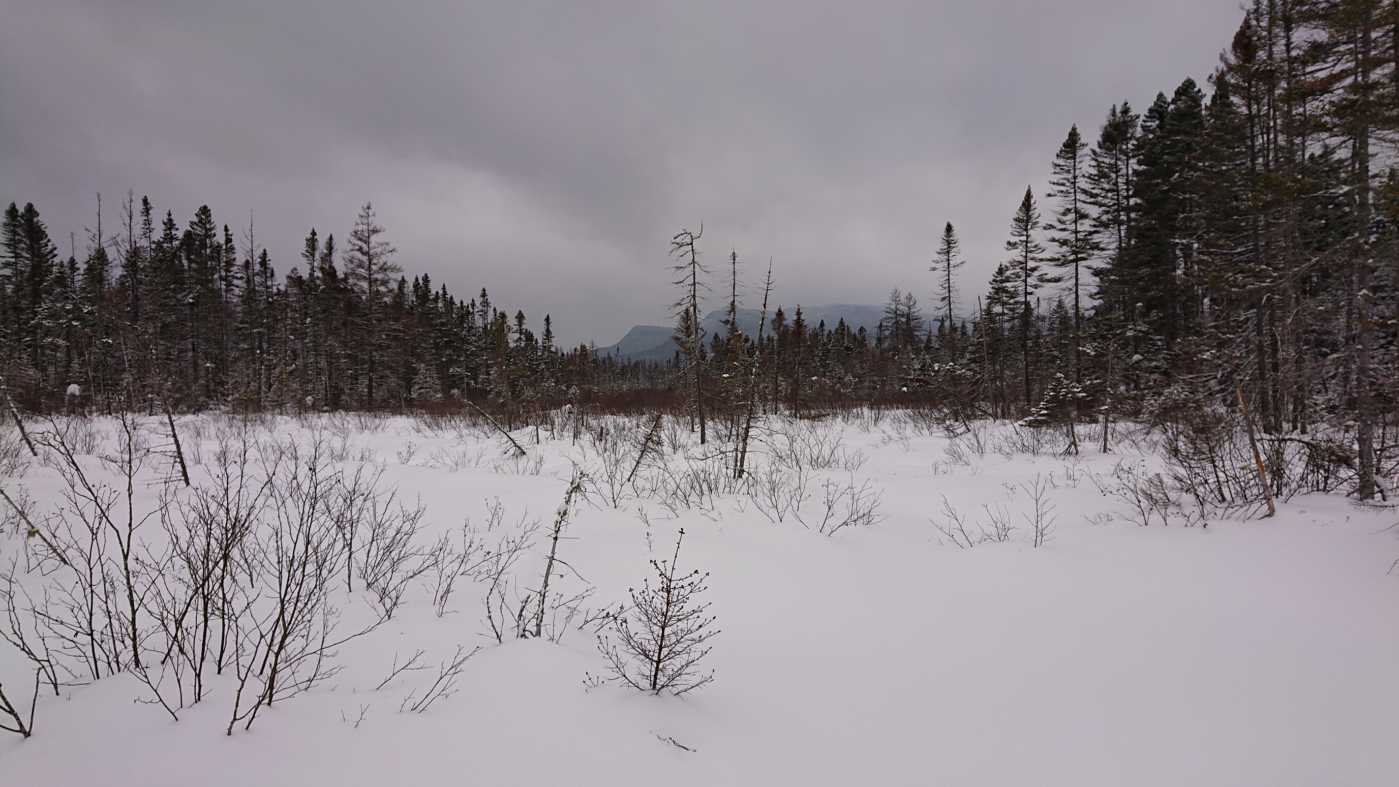
An hour later, we came to a spot that had been flooded by beaver activity in the summer. The DEC had fixed the problem, so happily we only had to cross a simple snowy meadow. The steep-sided peaks in the distance are Manbury Mountain and Little Moose Mountain.
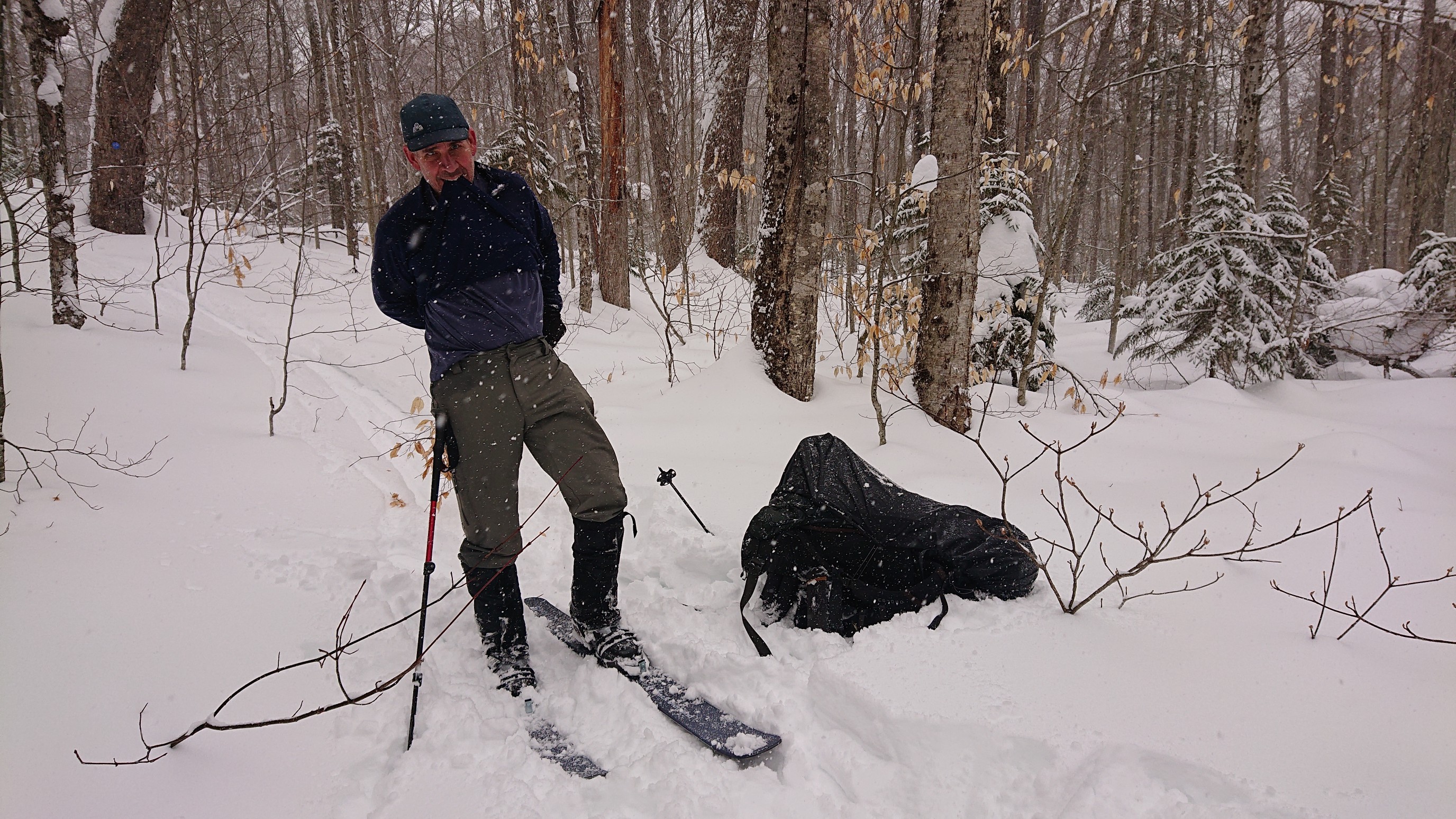
We had agreed to take a morning break at the Carry Lean-to, but upon discovering that the shelter was an extra 0.3mi off trail, we decided to take a break right there at the trail junction. Mark is demonstrating his skis-on relaxing pose. After 20 minutes of constant eating, I was getting cold, and we packed up pretty quick.
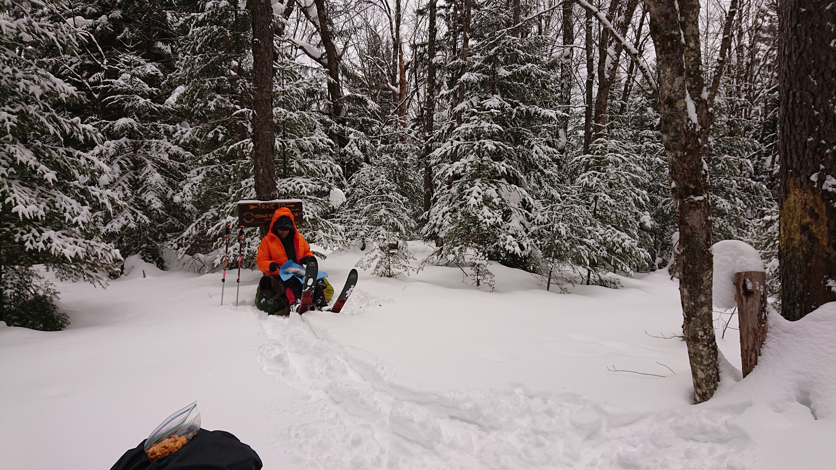
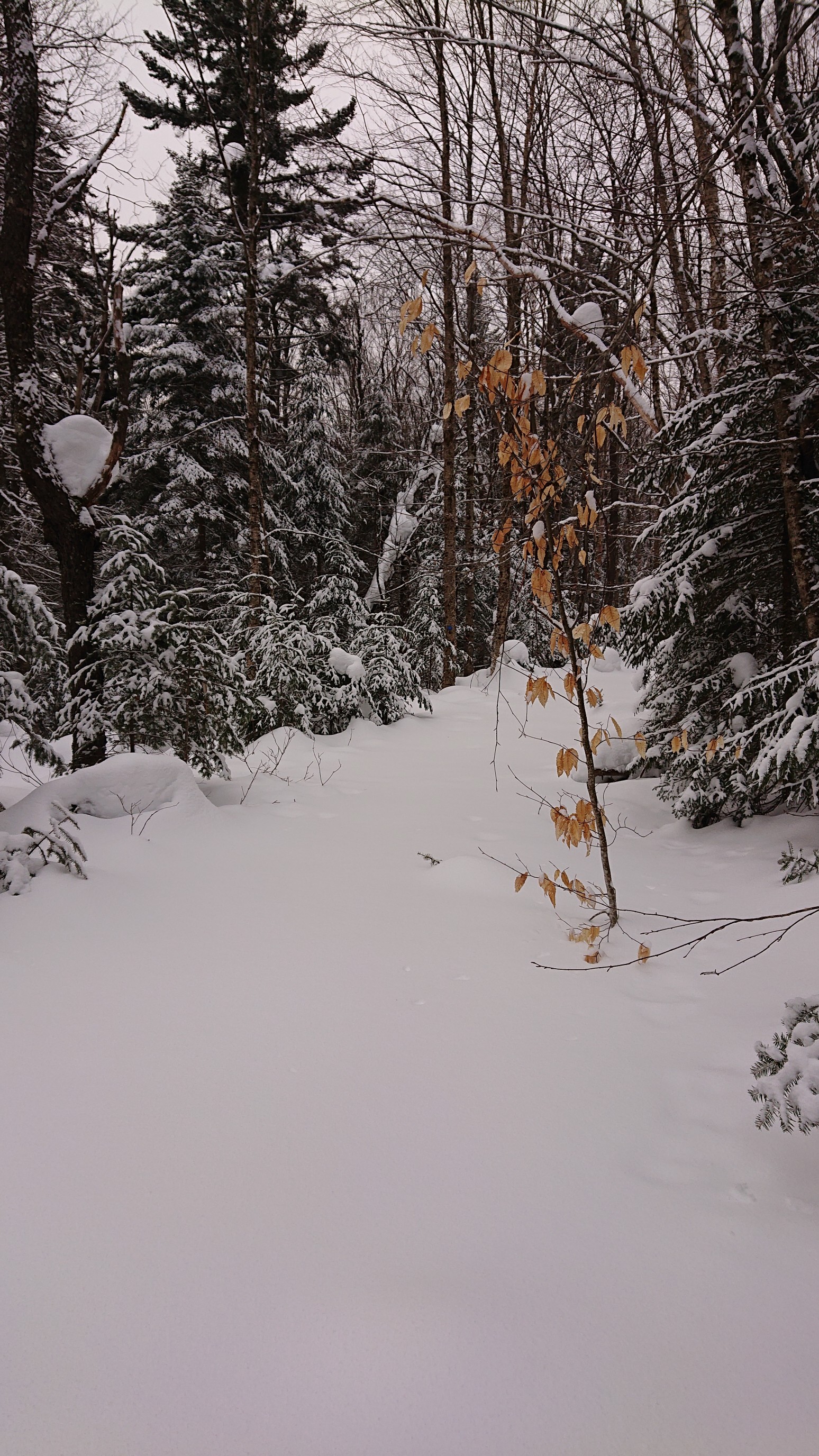
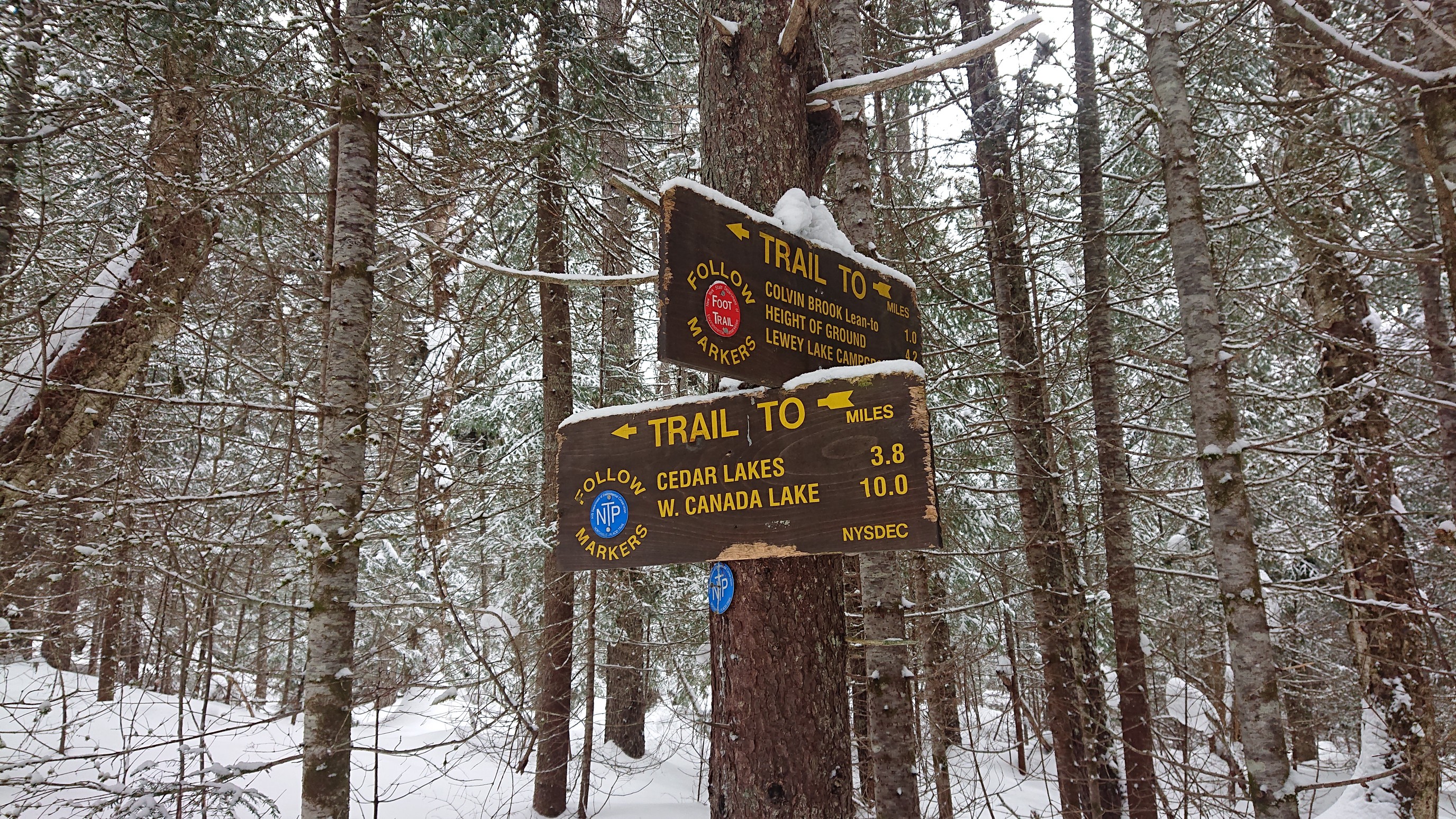
After another hour of skiing and breaking trail, we came upon a trail junction. I didn’t think much of this particular junction, but soon after I noticed that the trail was recently broken out. Someone must’ve skiied the French Louie loop in the past week! Since my skis were only sinking in a few inches and not a foot, forward progress became much faster.
Mark and Jim pressing ahead through the snow-choked spruce. “Into the spruce you shall go”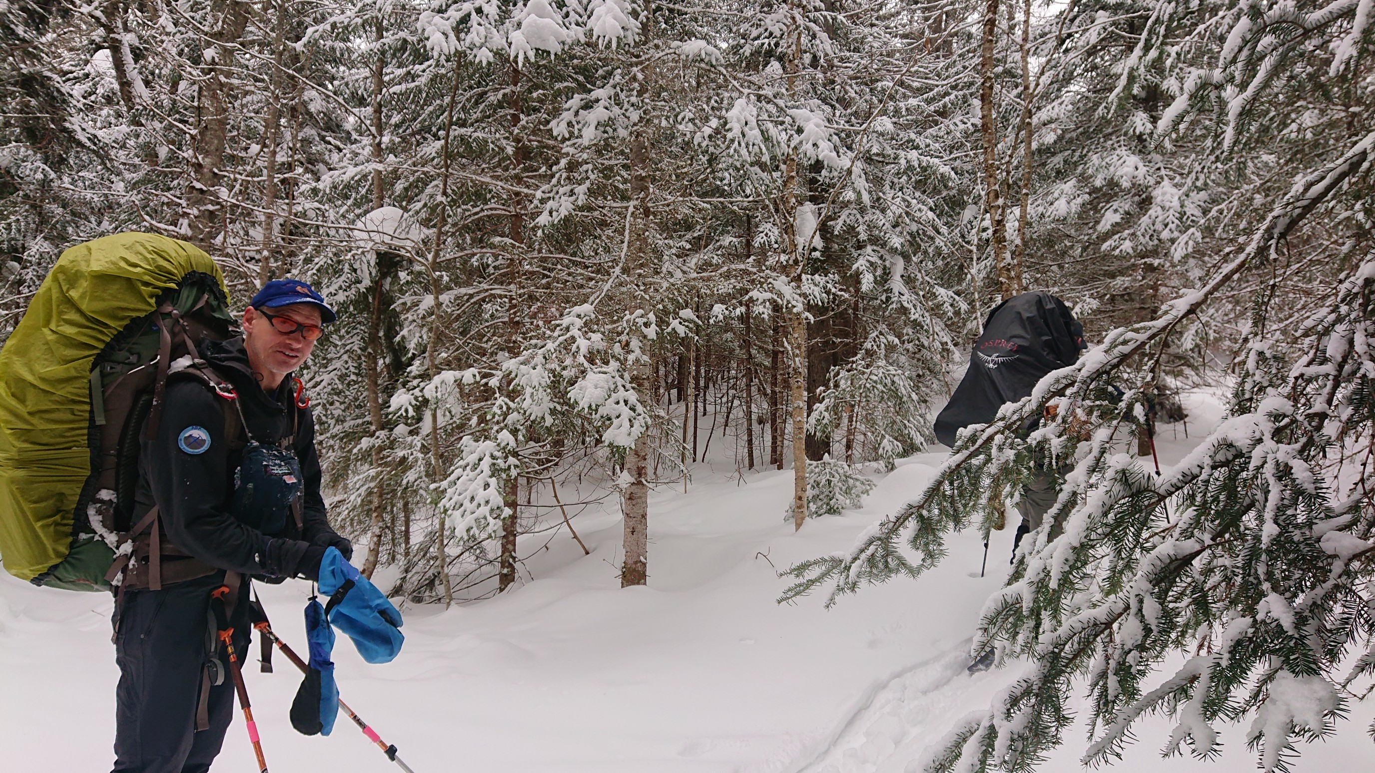
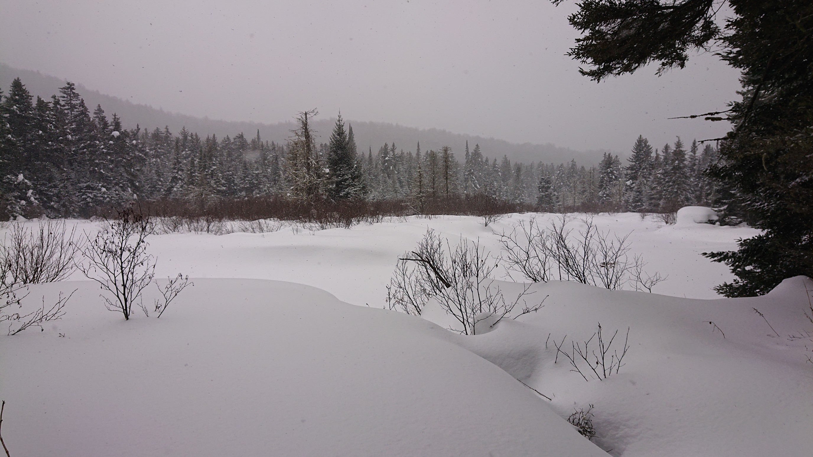
The trail followed the Cedar River upstream all day, so sometimes we would get views over its frozen landscapes.
I can’t remember why I took this photo, but it looks pretty funny!
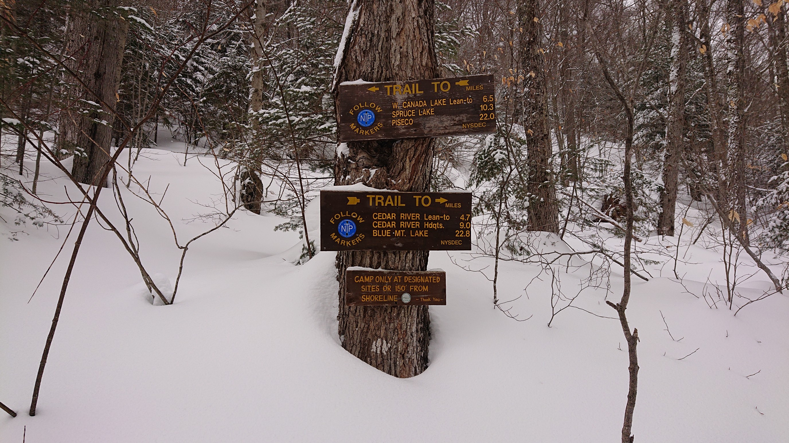
A quarter mile before our intended lean-to, we passed this trail junction, and our nice broken-out trail disappeared. We thought it would be slower going because we now had to break trail, and we were half correct. It was slower going, but it was because the blue trail markers disappeared.
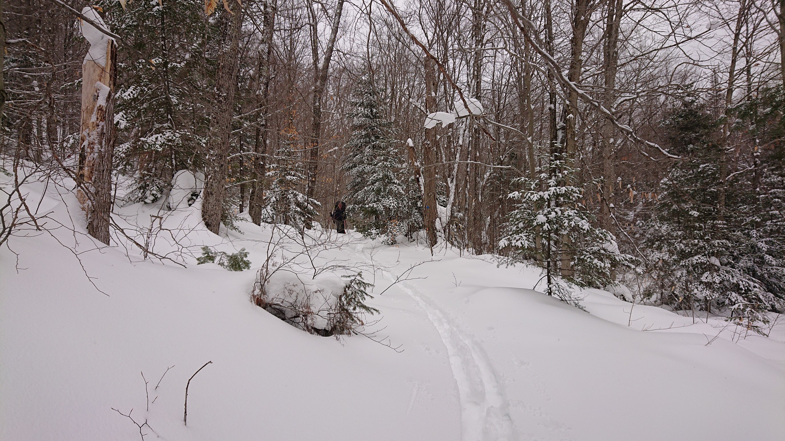
In the photo, you can see Jim coming up the trail, and the only blue marker we passed is just right of him.
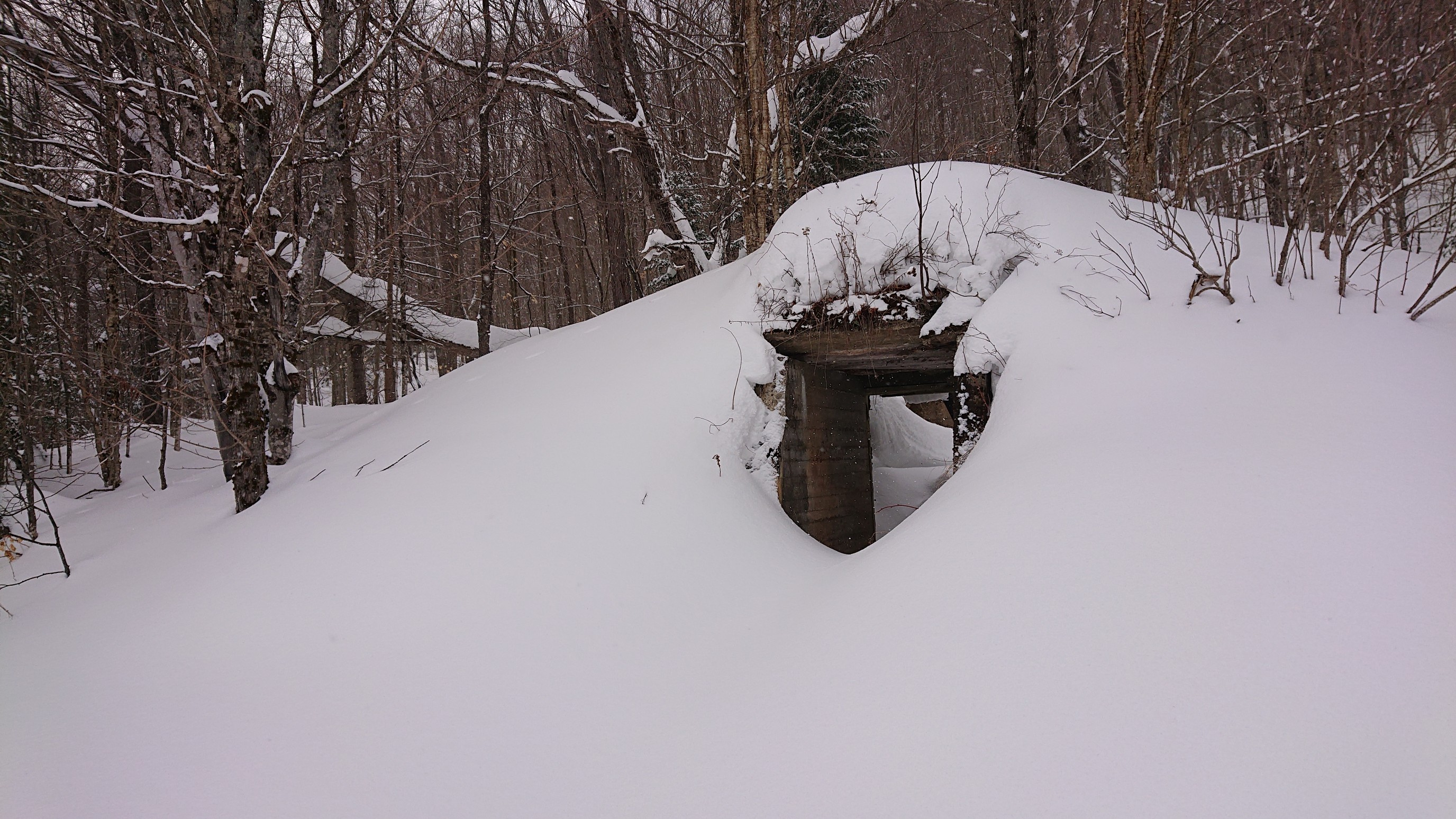
I’m not sure what this is, it looks like an old doorway or shelter? My photo from summer isn’t any more revealing.
We pulled into the First Cedar Lake lean-to at 3:30pm, and enjoyed sitting down with our packs off for awhile. (after sweeping out the snow, of course). The lean-to was unfortunately positioned to catch the wind off the lake, so we put up the tarp across the front to block some of the wind.
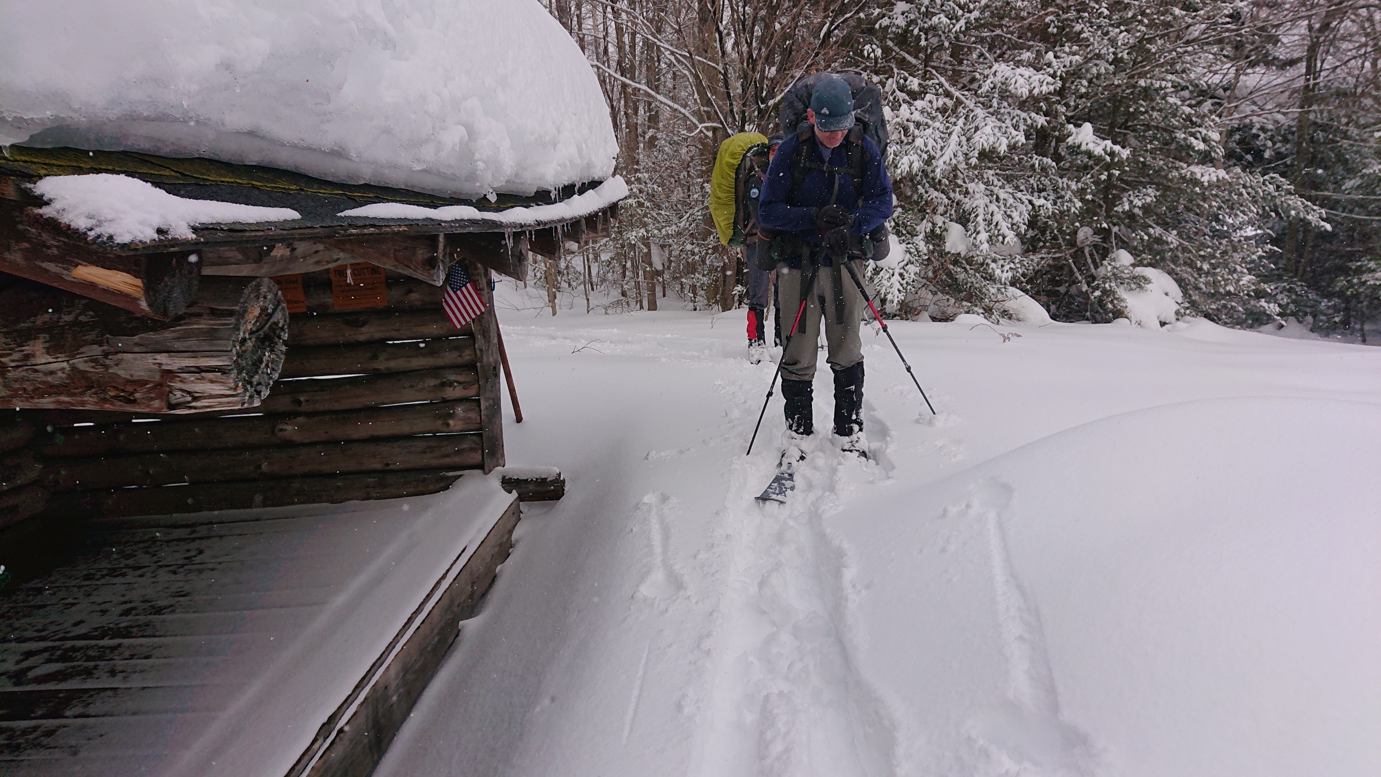
The temperatures were forecasted to stay warm overnight, so we did something unusual and slept IN the lean-to. It would have too warm in the tent with 3 people, and the extra ventilation might dry some of our clothing. It was nice being able to stretch out and spread my gear everywhere. And since we were camped near a lake, we had a source of good water, which was easily obtained by chopping a hole with the ice axe. We entered the West Canada Lake Wilderness this morning, and it feels so remote and quiet out here!
These entries are great! Thanks!
Thanks for following along! If you’re in Colorado, let’s go hiking!