Wednesday March 3, 8.5mi/13.7km
West Stony Creek Lean-to (129.9/920ft) to Northville Arch (138.4/810ft) (NY)
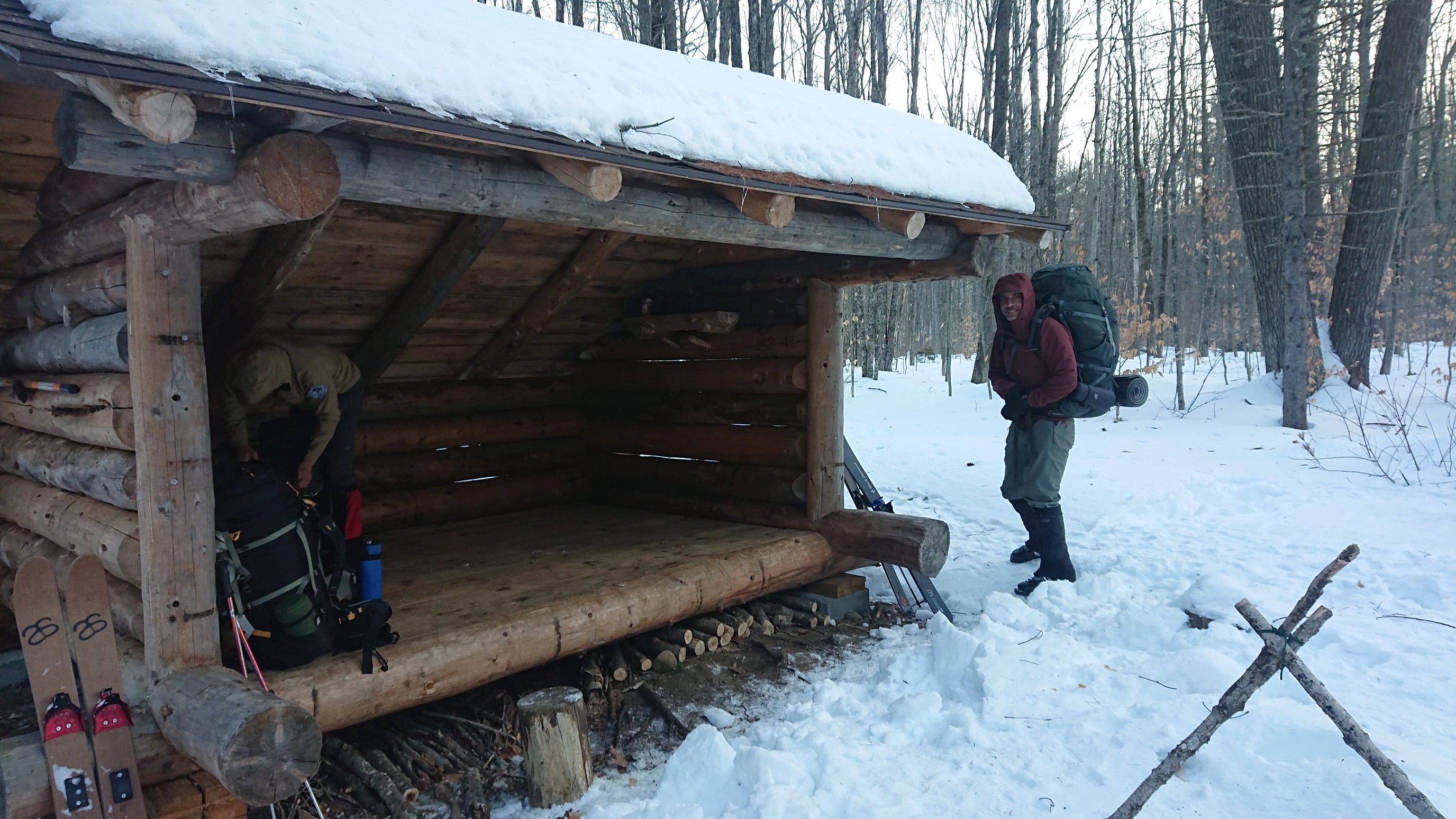
We were awake before 5am, and had breakfast and coffee in the leanto. (Jim was able to avert a coffee crisis by borrowing one from Mark). We had a major stream crossing and 5 miles of skiing, so we were on trail at 6:45am.
A minute later, we were down at West Stony Creek. Mark had scoped out the crossing yesterday, and we followed his lead acros the frozen river.
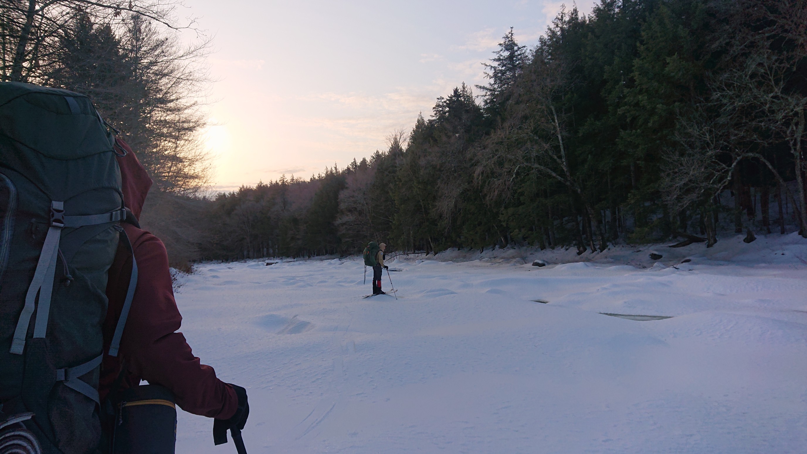
Jim about halfway across. We carefully stayed on the rocks and areas where the river had a slow flow.
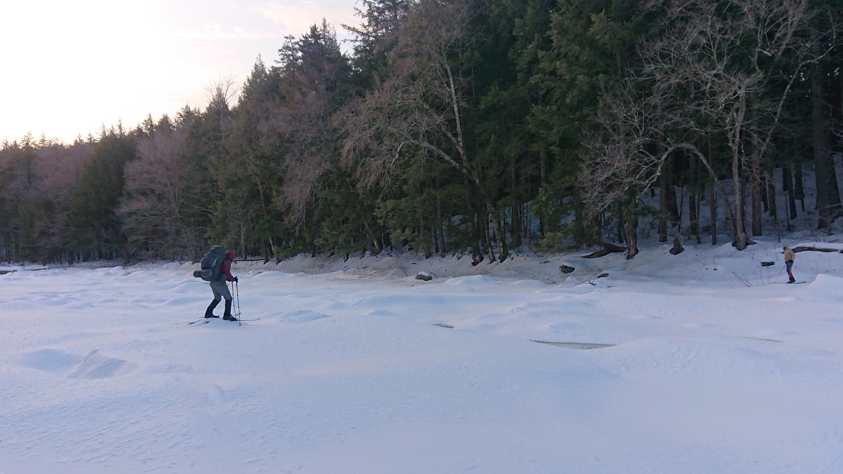
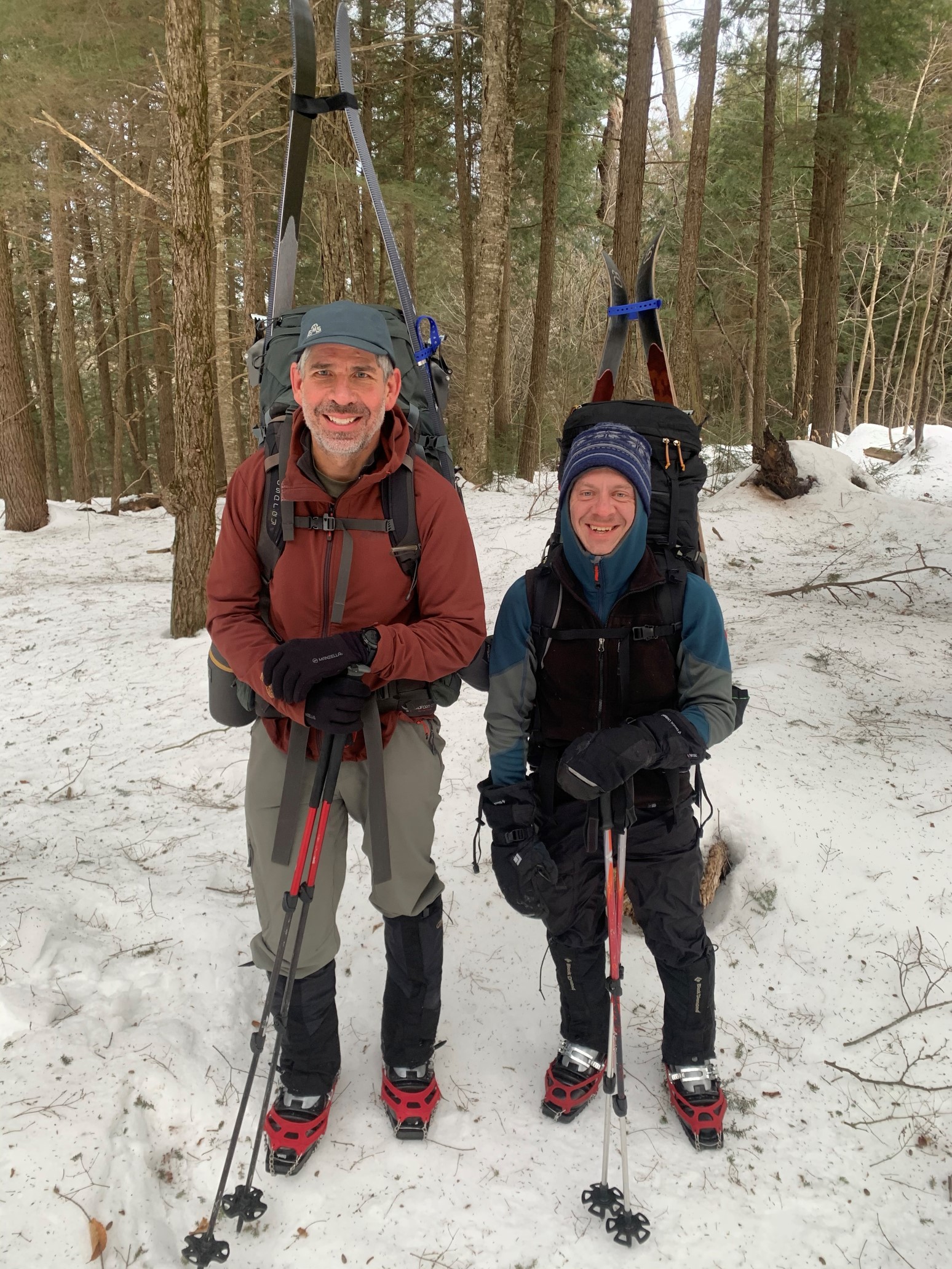
Jim’s epoxy ski binding had held up great for the crossing, and we re-grouped and changed clothing layers on the other side of the river. There was a pretty good 500ft climb up out of this drainage, and I expected to get pretty warm. The snowpack, however, was pretty incompatible with skis, as it was very icy. Jim and I switched to microspikes, which proved to be a far better tool on that surface. It was the only time on the entire 138-mile trail where we had to switch out of skis.
There were a couple of log bridges, we used the ones with handrails, and avoided the one bridge that was missing its railing.
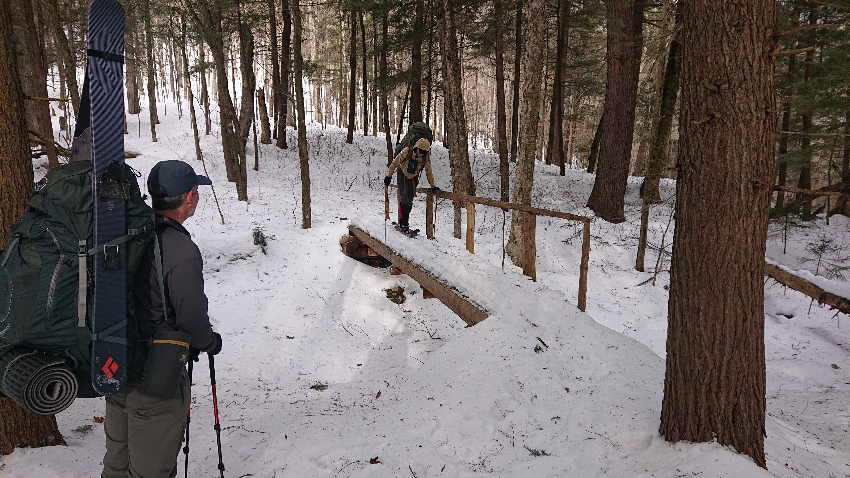
The final uphill to Mud Lake was actually pretty nice, the trail climbed gradually on switchbacks.
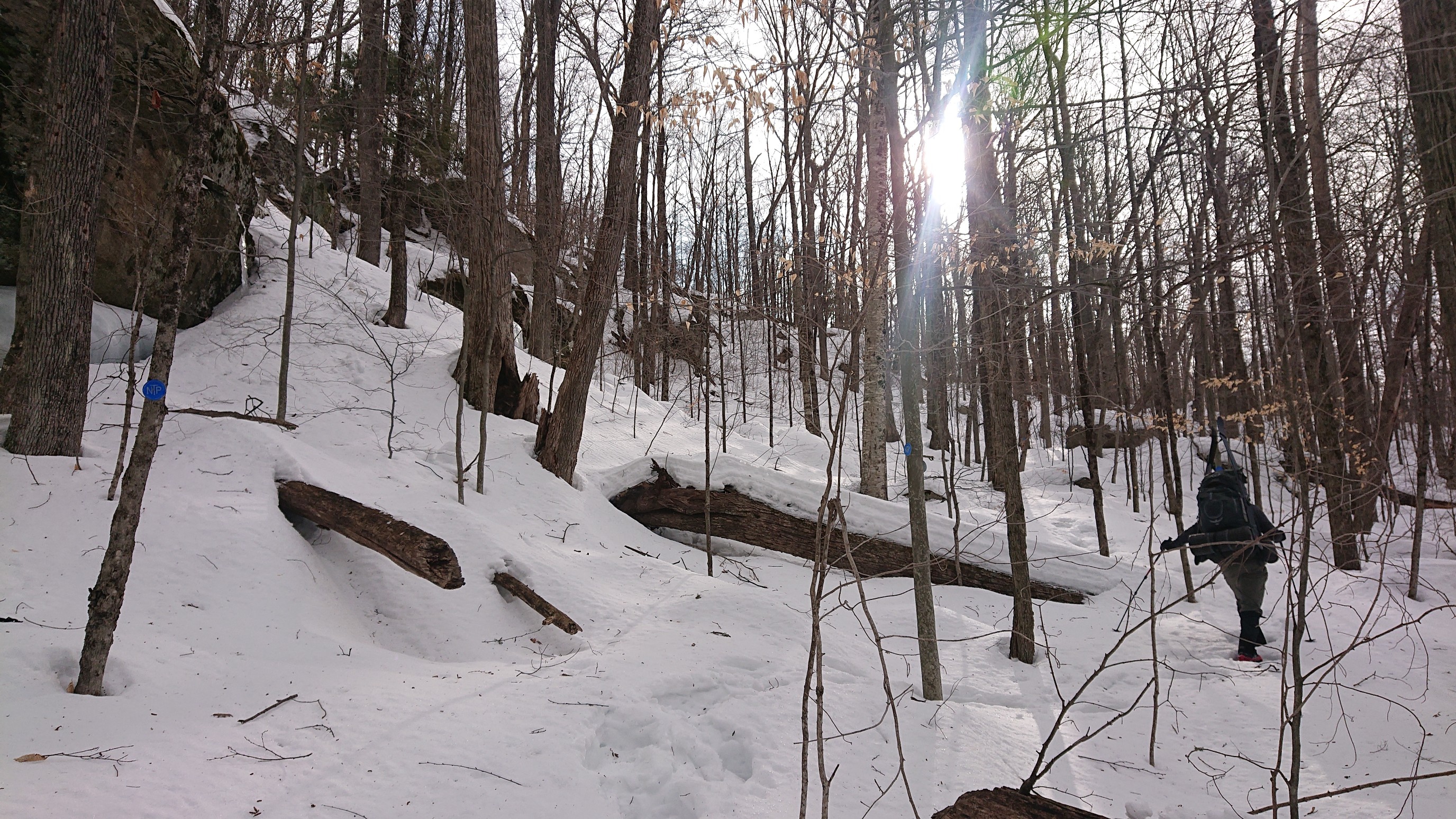
I love that we got to pass by this huge, random boulder. Glaciers are show-offs.
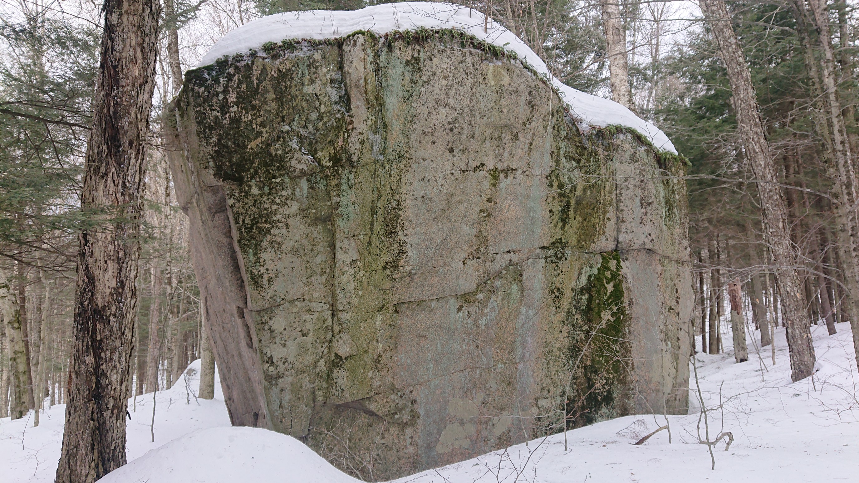
Seeing the markers and double arrows at every switchback was hilarious. It’s almost like the Adirondacks doesn’t know about switchbacks. Oh wait…
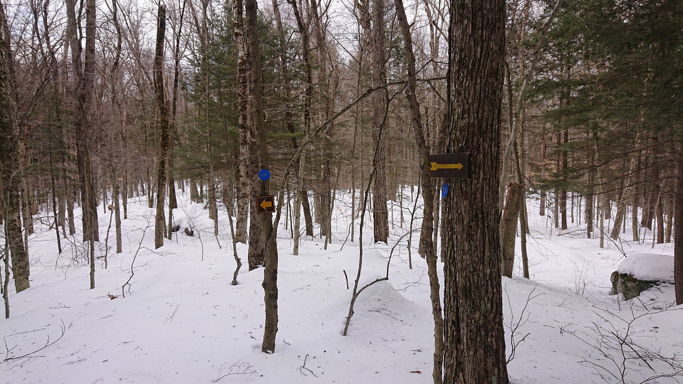
We arrived to Mud Pond at 10am, and the clouds were starting to move out. This was the last Mud Pond (there are many), and the last body of water on the NPT. At this point, I switched back to my skis, as the snow had lost most of its ice.
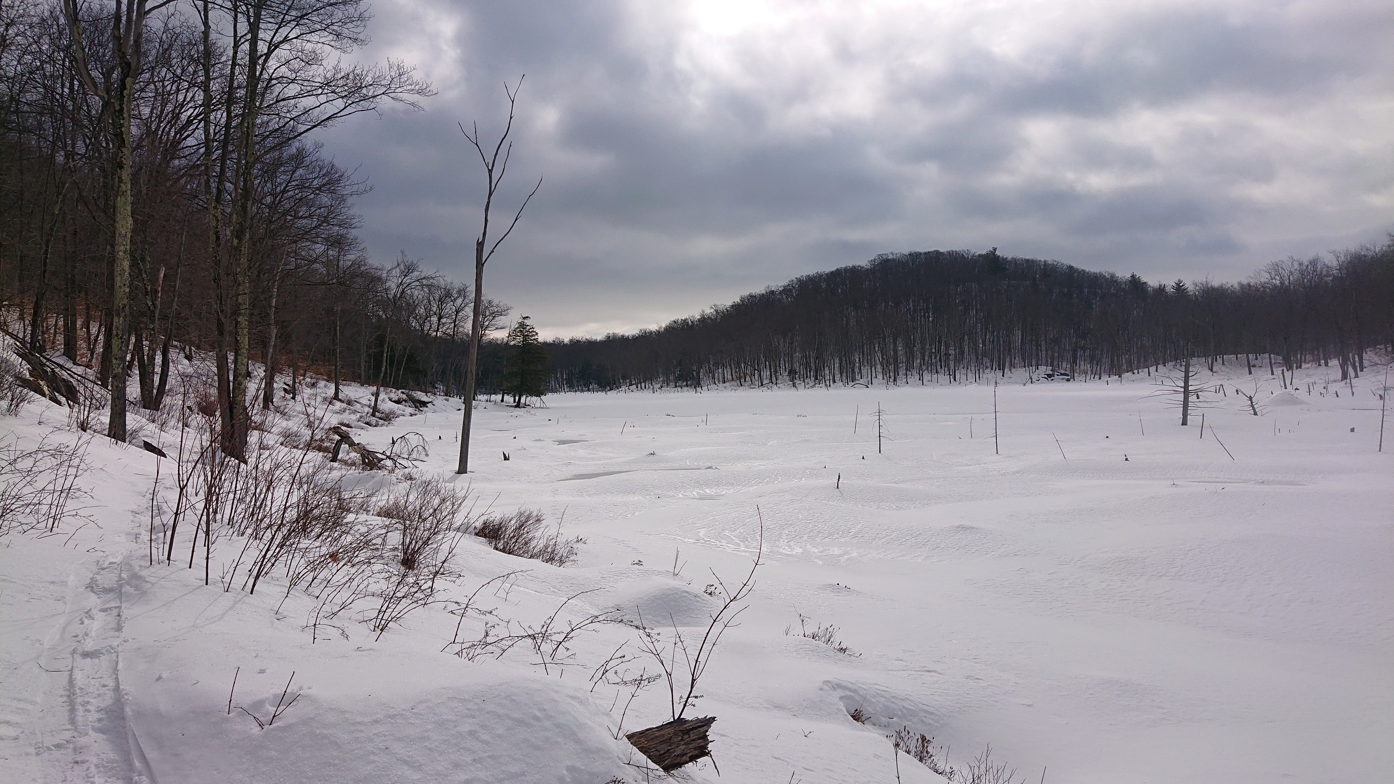
It was windy by the lake, so we stopped to take our final on-trail break in the woods, at the top of the last descent. Through the trees, to the right, is Great Sacandaga Lake.
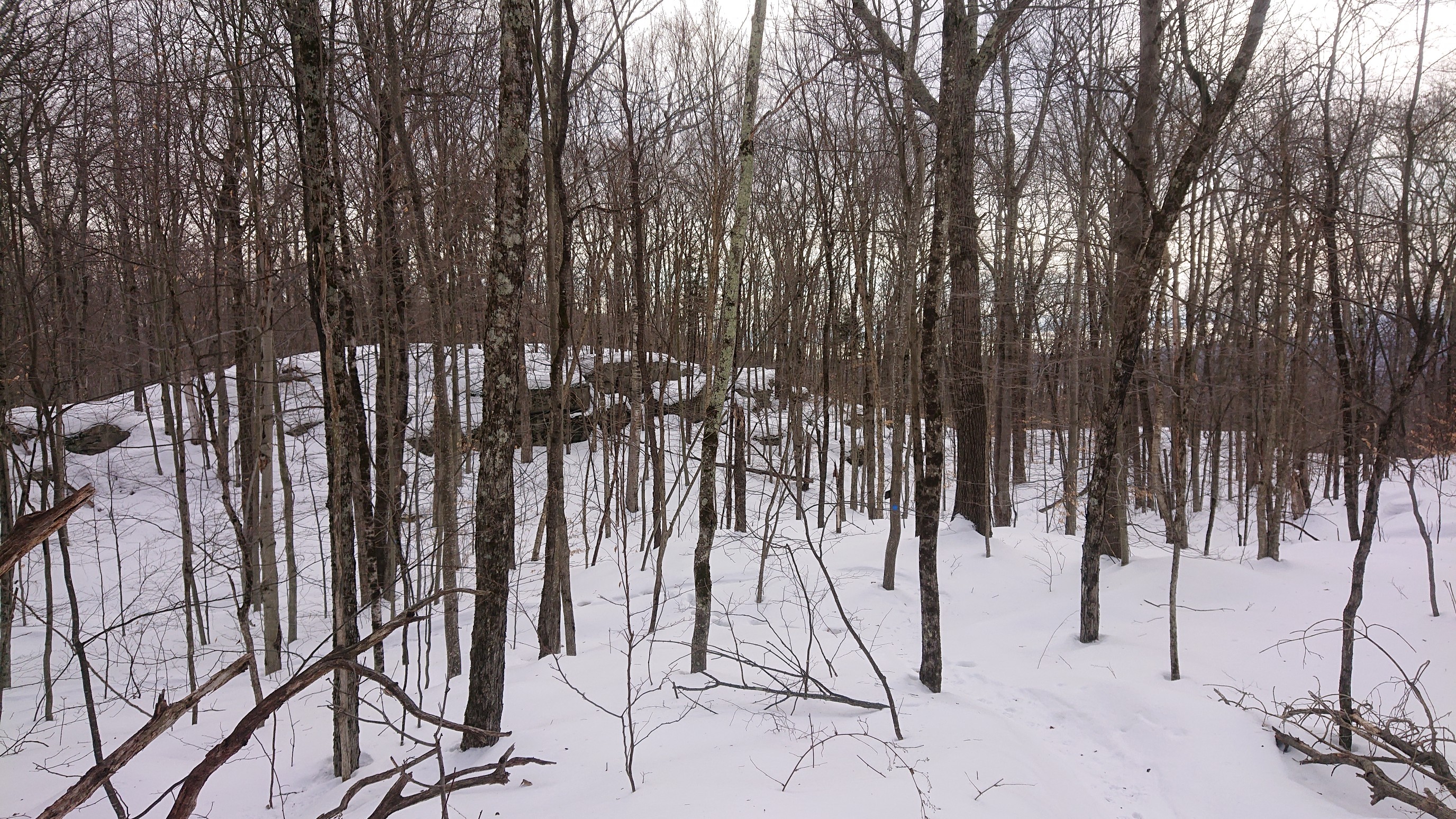
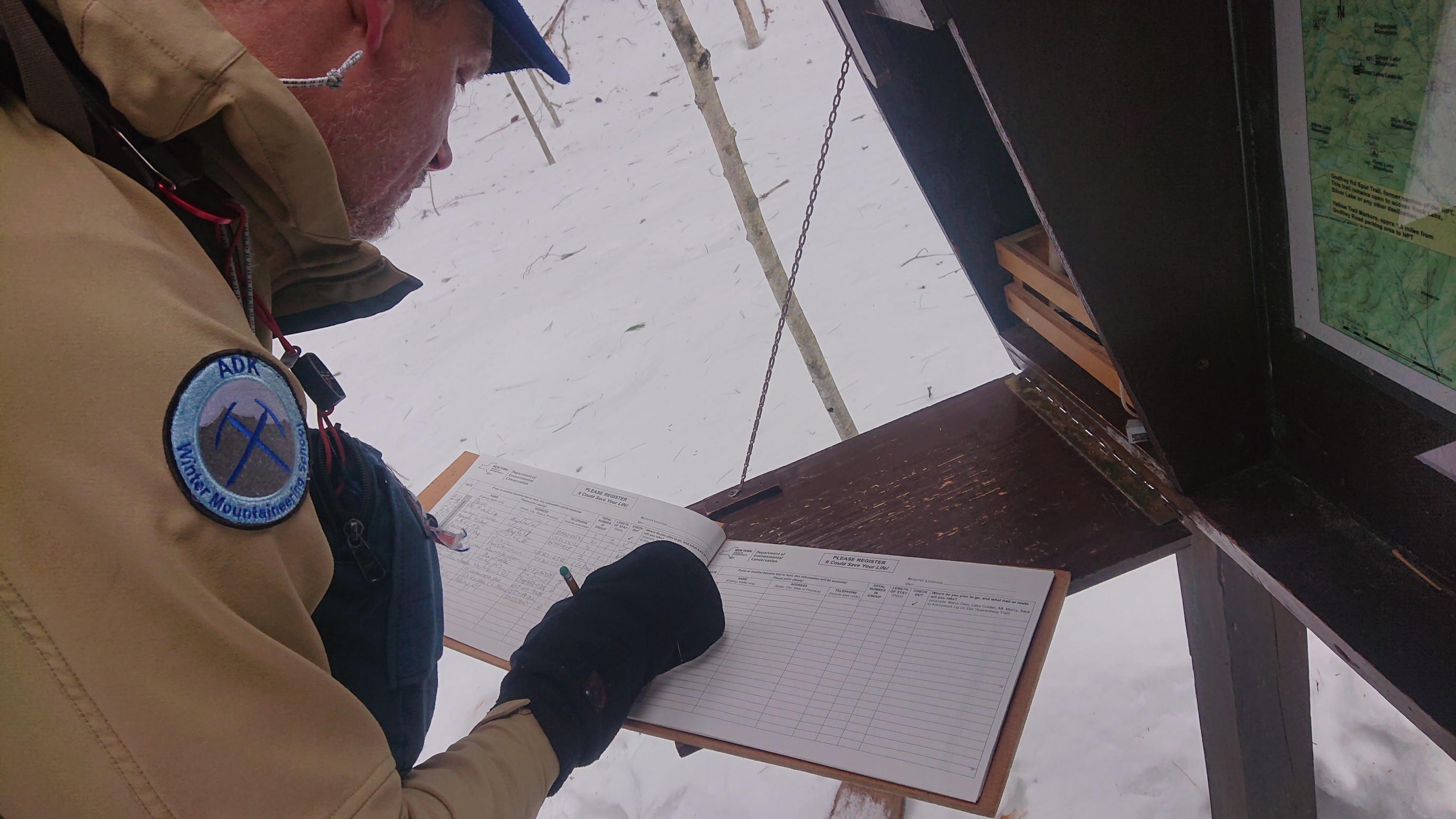
I had fun skiing down the last mile of the trail, cutting across the switchbacks through the open forest. There were a couple tricky steep spots, but it was mostly type-1 fun. If the snow quality were better (less icy), it would be pure awesomeness. We arrived at the trailhead at 11am, and Mark signed in for our group.
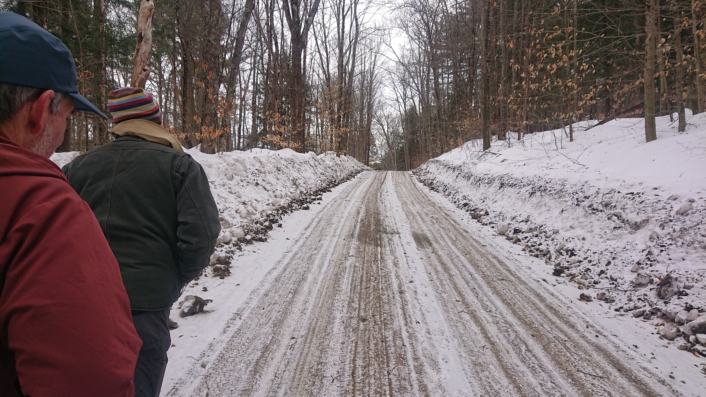
Barrett met us at the trailhead, and the four of us walked together back to his truck, parked a quarter-mile away at the road. After removing our skis, boots, and backpacks, we started the final 3.5 mile roadwalk.
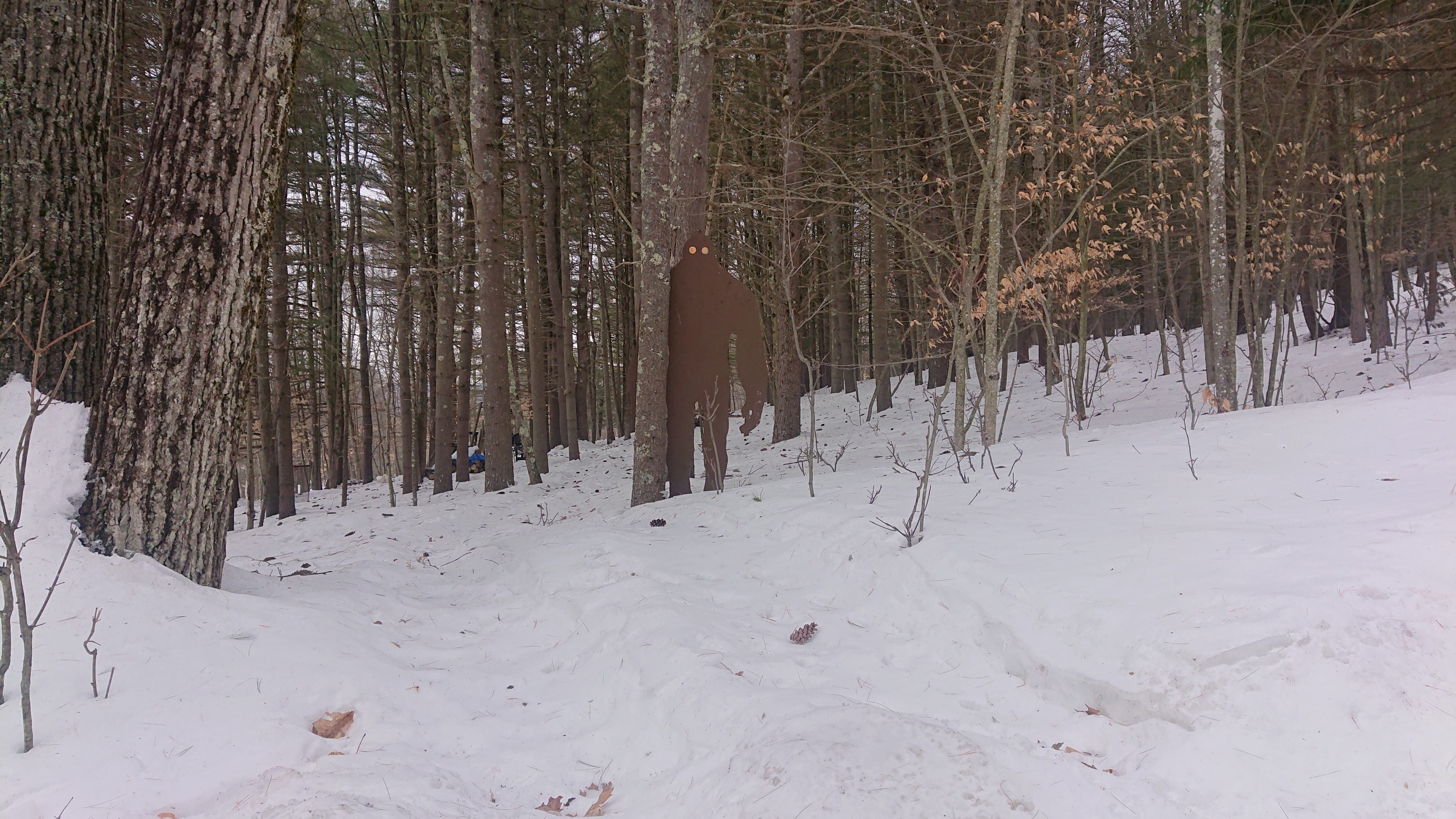
One of the houses along the way had made a wooden bigfoot for their yard. Sweet.
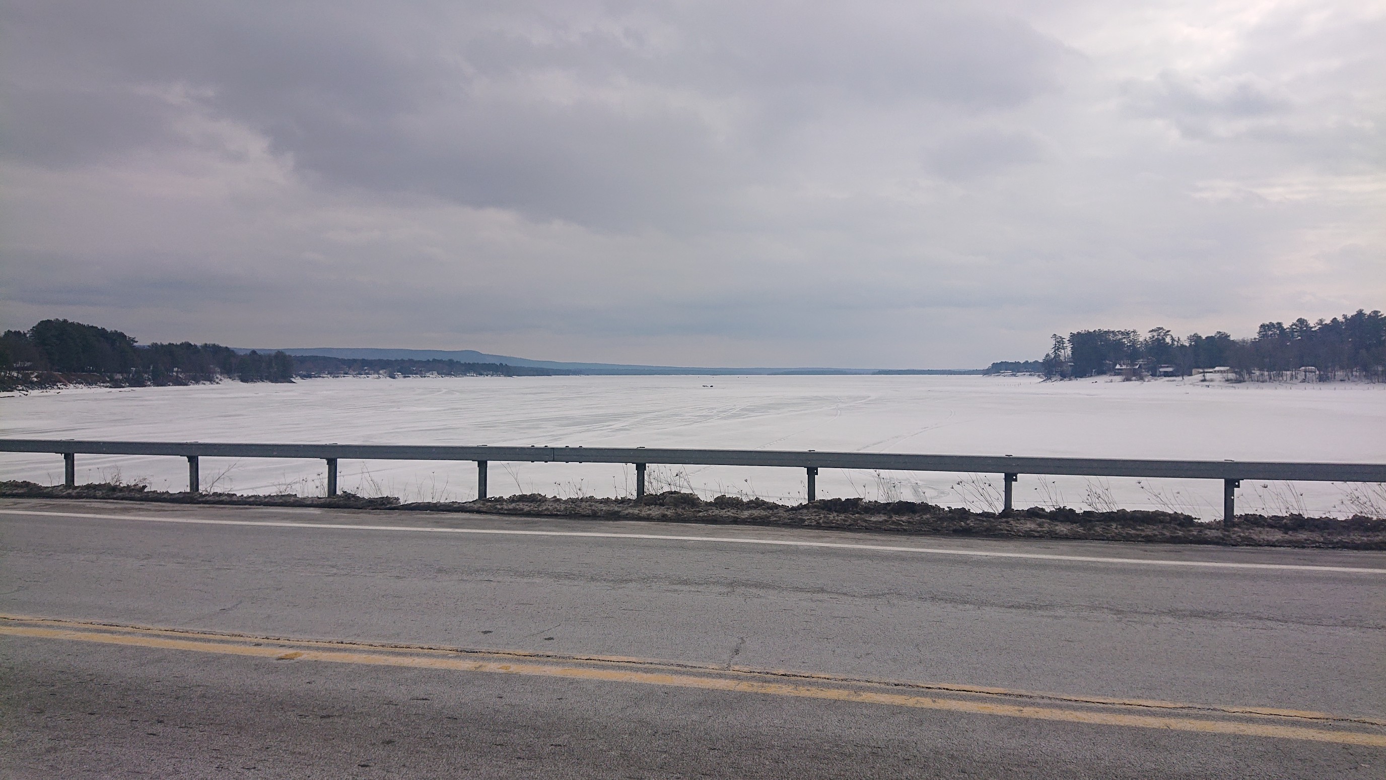
An hour later, we were crossing the bridge across an arm of Great Sacandaga Lake, into the village of Northville.
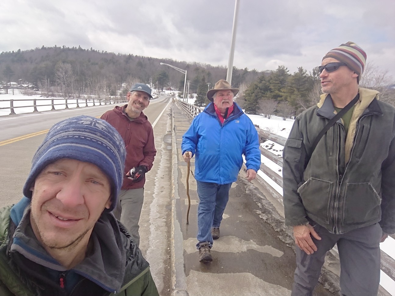
Along the way, we met Don Hoffman, a local hiker who was very interested in interviewing us. So, we chatted, hiked, and recorded at the same time. It was fun, thanks Don! And good luck on your NPT hike this summer.
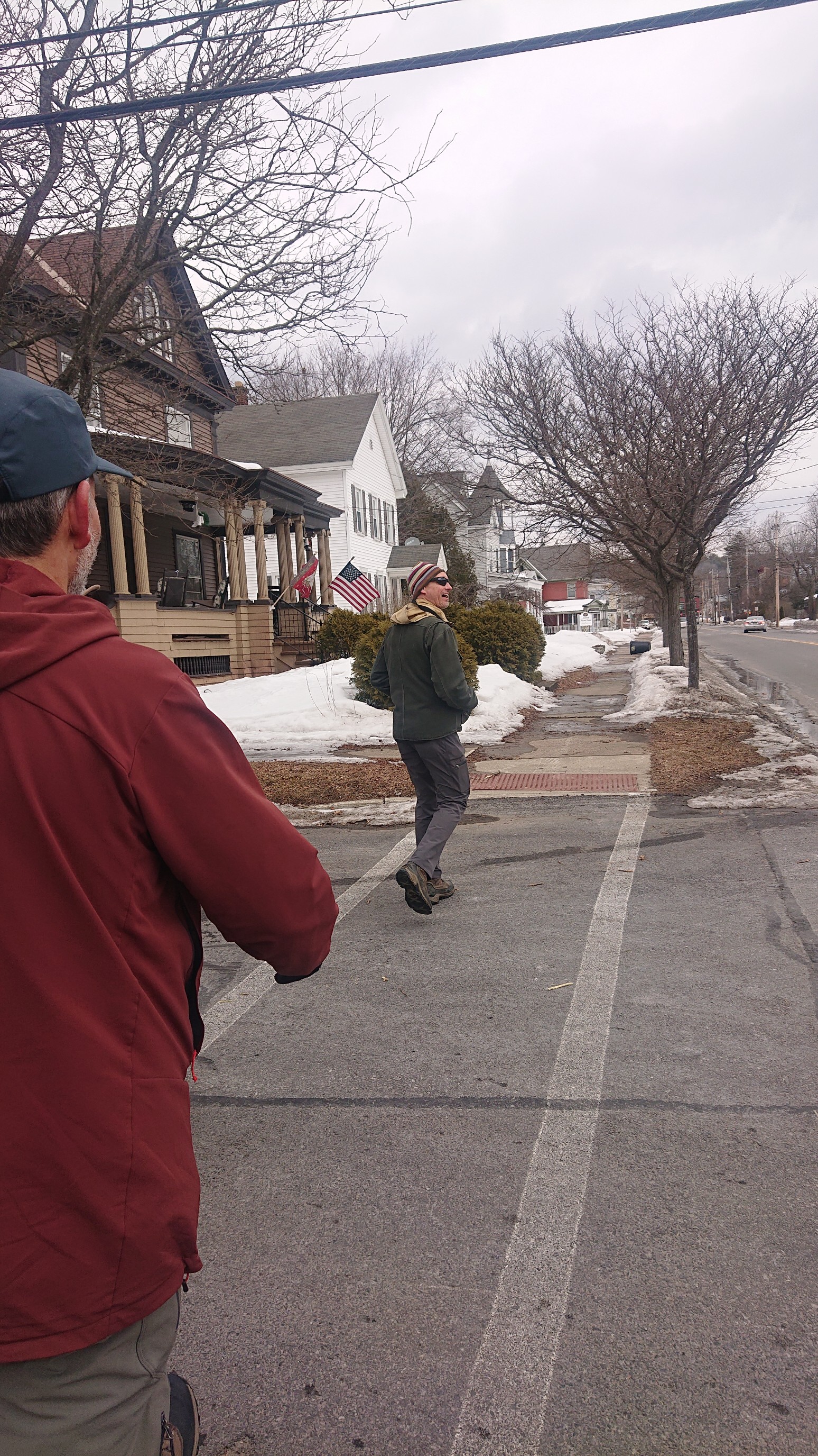
Walking down the sidewalk, only a couple blocks to the finishing arch!
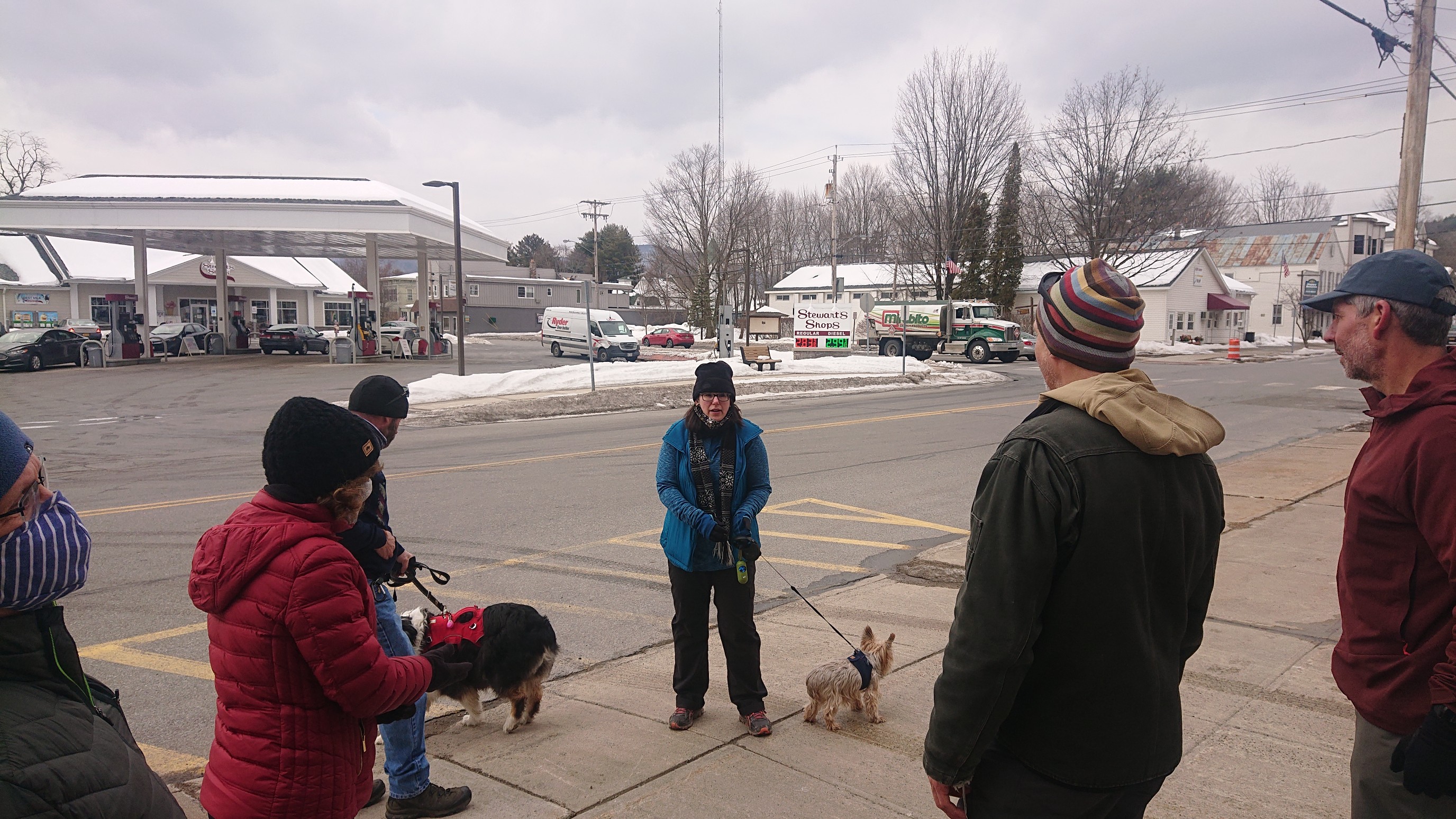
We arrived at the finishing arch at 12:45pm, and had a nice surprise welcoming committee! My parents, a local couple, and a small herd of dogs were all there for the occasion.
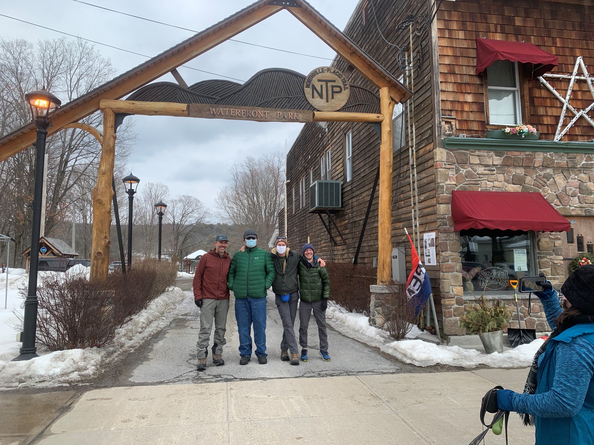
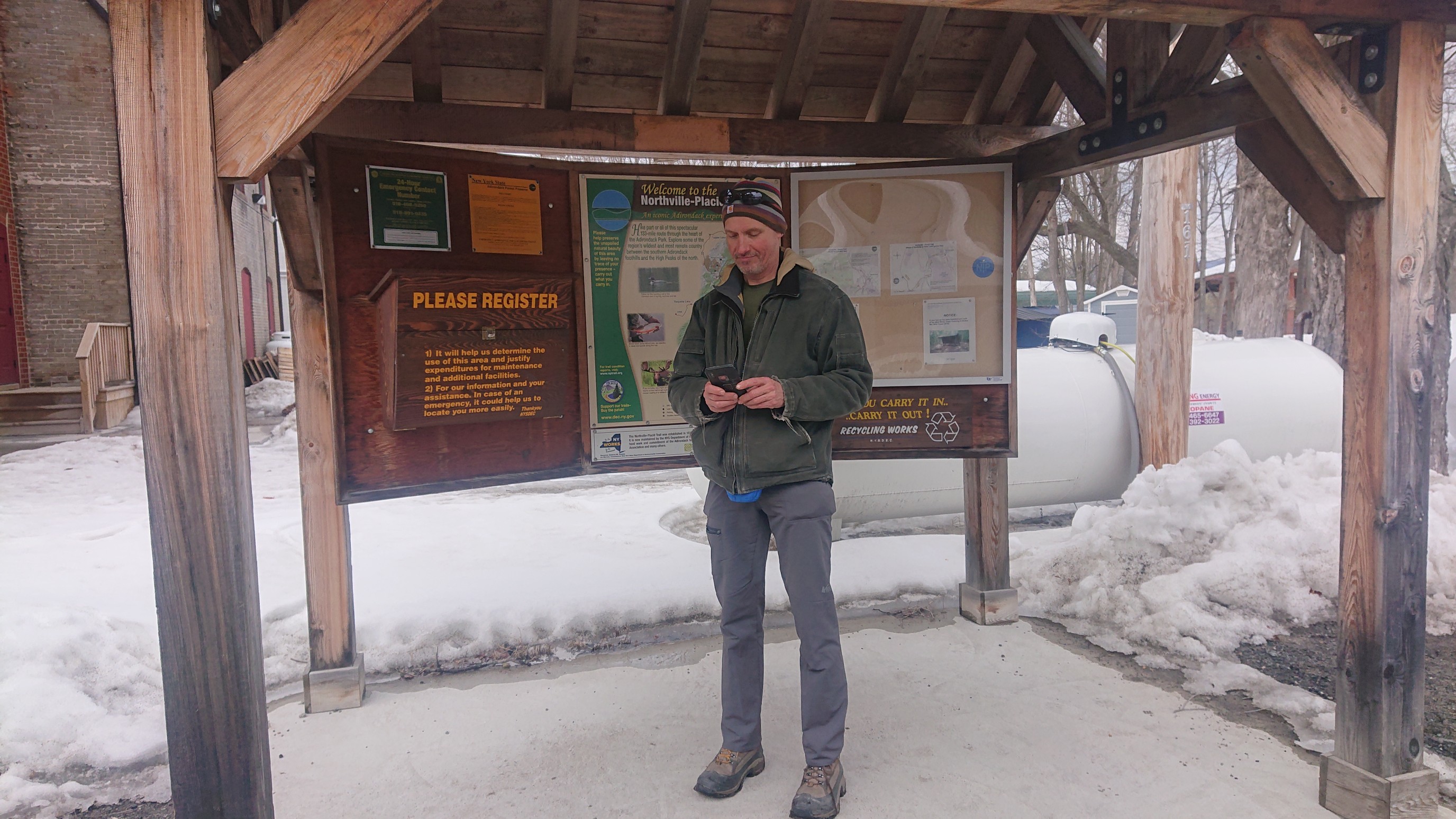
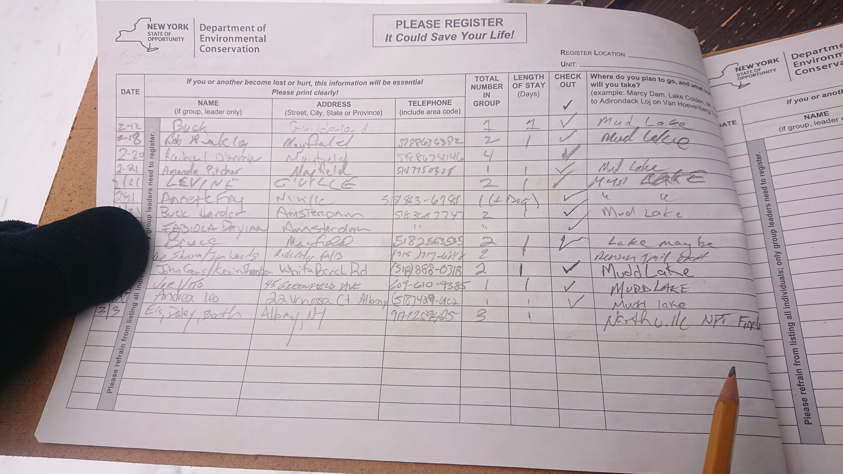
We went through the arch, to sign into the final trail register.
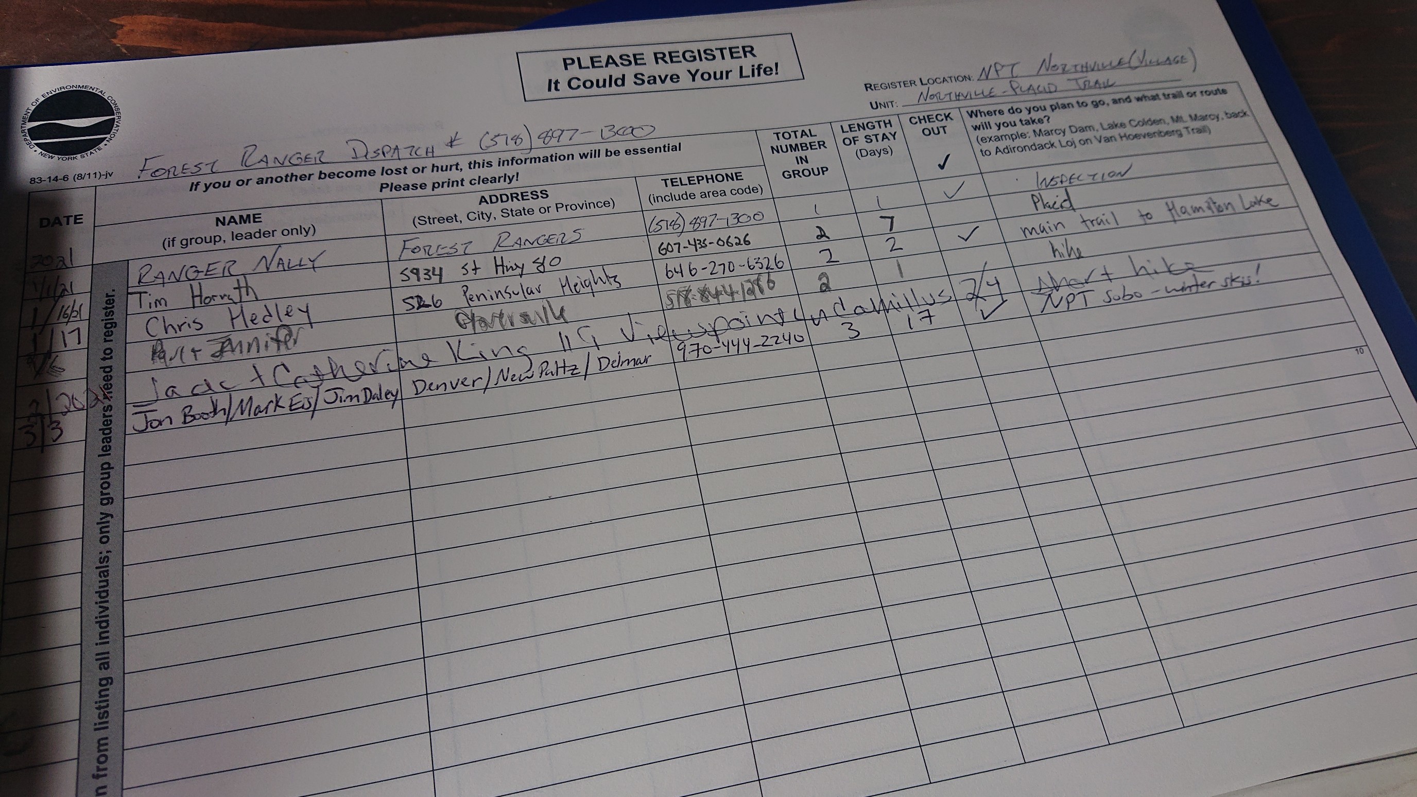
Our final entry into the NPT/DEC trail registers. I tried to use my neatest handwriting.
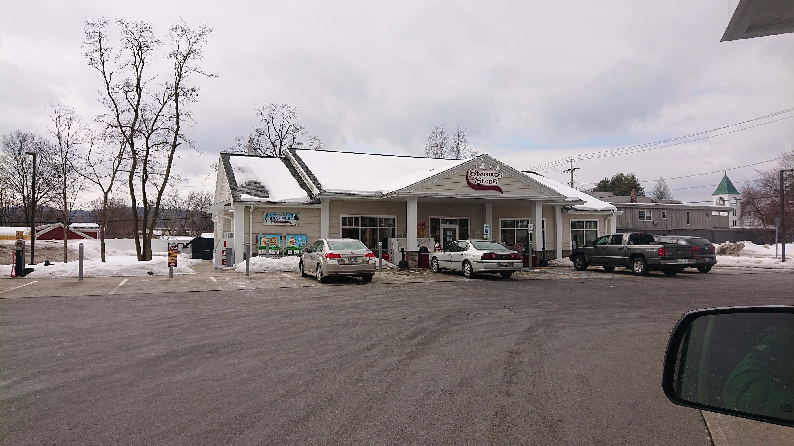
Directly across the street from the Arch is a Stewarts! I love that this trail finishes with ice cream, drinks, and nice bathrooms.
We said goodbye to our welcoming committee, and Barrett drove us 2 hours back up to his house. The theme of dinner was “calorie density”, and the poutine appetizer was fantastic.

The evening was a blur of food, conversation, and TV (WandaVision, Archer). We went to bed pretty late by hiker standards, though it was only 10pm. Tomorrow we return to real life…sigh. NPT in winter…what a cool experience!
Thanks for sharing, Recon! Margaret in Bend, OR
>
Thanks for following along! Thinking about a winter hike of a PCT section next year 🙂
This is the most impressive documentation i have seen the success you guys had completing this trip is mind blowing also i would love to find out your gears and items list. How did you guys really survive the cold temperatures at night what kind of sleeping bags did you guys use? From the photos it looked like your bags weighted really heavy how were you guys able to hike that long with that much weight is really impressive, my hats off to you guys real brave group of people!!! Thank you for your documentation this really gives hope to people who willing to try something like that!
Hi Alex! We each had -20F/-29C sleeping bags, and the three of us shared a tent. All 3 of us are also instructors at the annual Winter Mountaineering School, which I highly recommend if you’re looking to get more comfortable with Backcountry winter camping. For gear, I’ll leave a link to our gear spreadsheets. Generally, our backpacks weighed around 50 lb with food and water. We chose skis for their superior flotation (vs snowshoes), and we ended up breaking trail for about 95mi of the 140-mile trail. And definitely no sleds, the trail is not well maintained enough for that, too many fallen trees narrow bridges, and steep slopes. I’m always happy to talk trail and answer questions!
Gear lists and planning info: https://www.dropbox.com/scl/fo/r0ada904cyro7vh0m7vbo/AAtlevmPMH6wDgKlGsBtfpU?rlkey=m2uugu0ougz92k9fef0q87i68&st=l7mef4bn&dl=0
And a facebook post with a visual layout of the gear:
https://www.facebook.com/jonb719/posts/10104239461936335