Monday November 14, 31.6km/19.6mi
Skippy Lookout (2.7/75m) to Boranup Hill Lookout (34.3/190m) (WA)
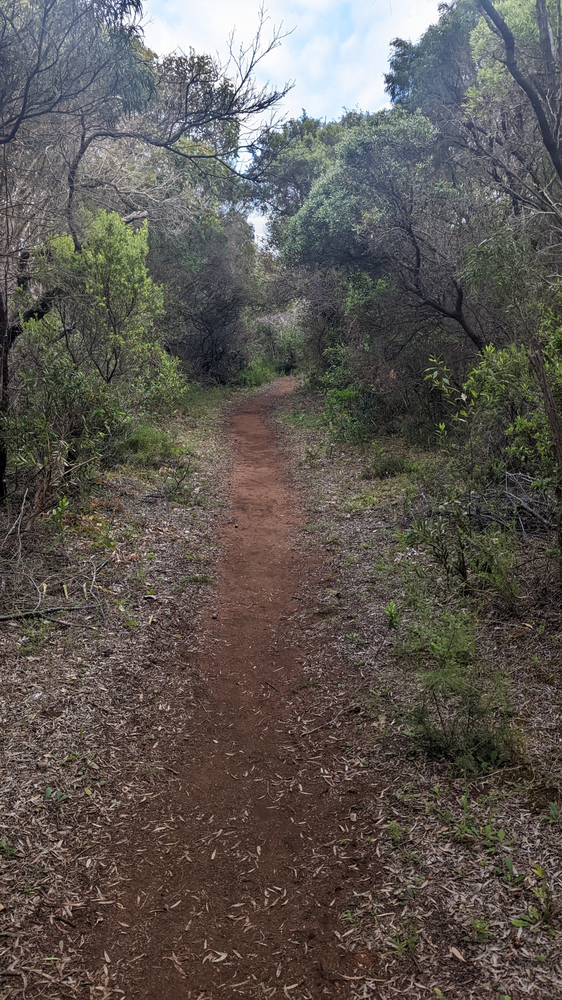
I slept great in my little camping spot tucked into the bushes, and the bright sun was streaming in by 6am. I hiked out at 6:30, and spent the first couple of hours hiking through the bushes above the coast.
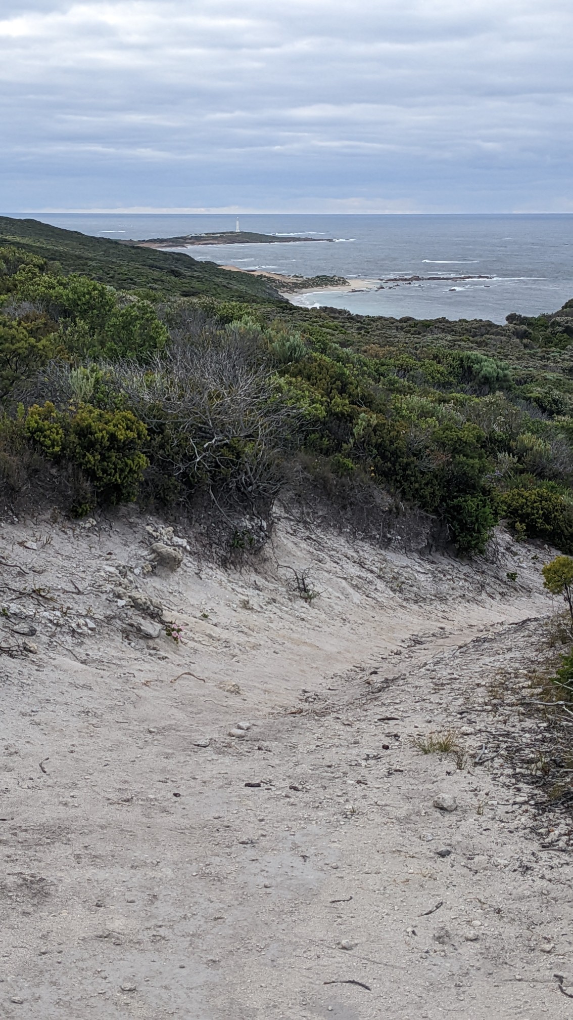
Every once in awhile I would get a viewpoint, and I could see back to the Cape Leeuwin lighthouse that I started at yesterday.
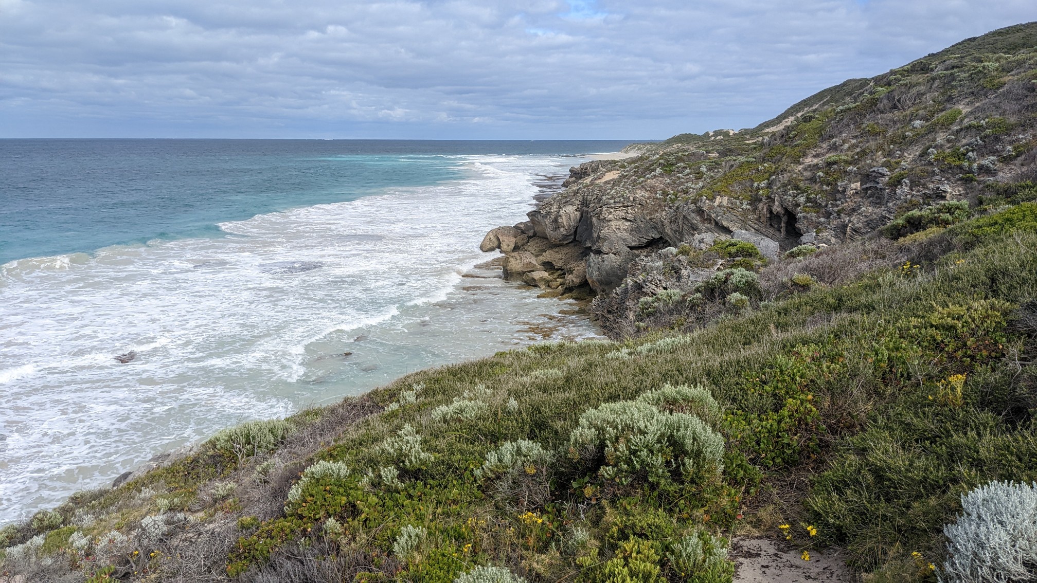
I could also see down to the ocean below me, which was crashing loudly on the rock cliffs.
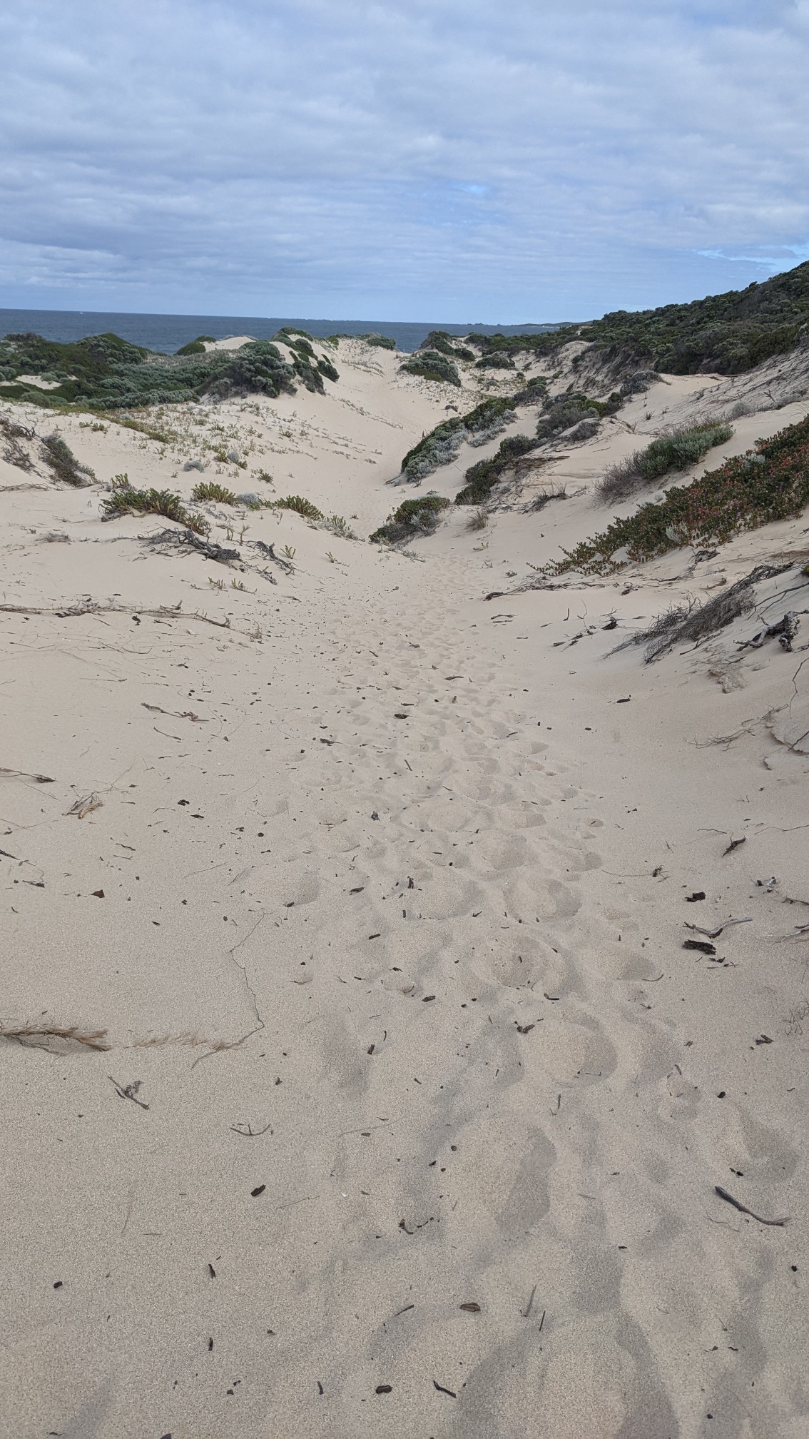
Eventually I descended through some sandy dunes and down to a beach. The soft sand was very slow going but it didn’t last long.
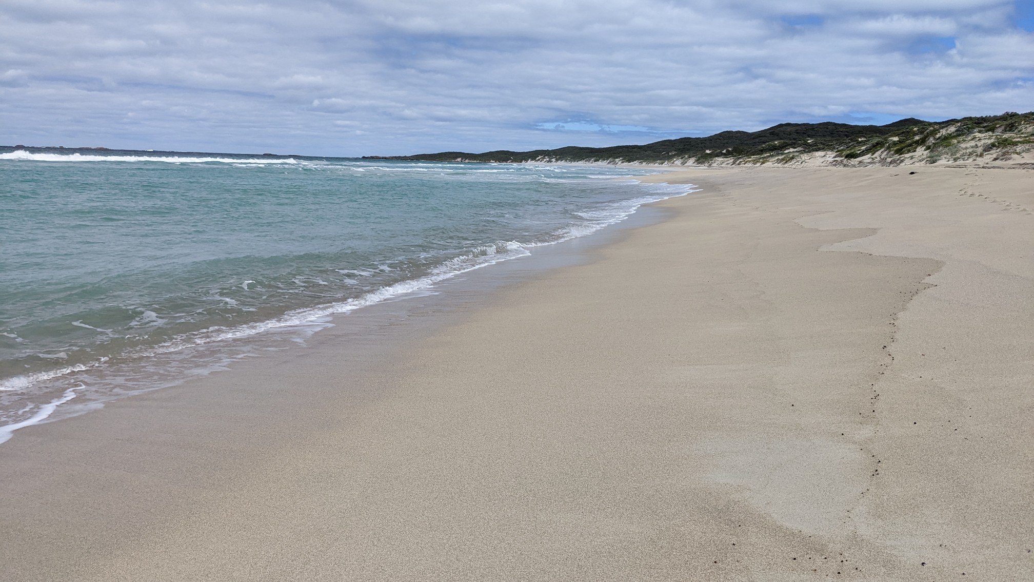
I walked along Deepdene Beach for 8km, and it was pretty nice walking down near the water where the sand was firmer.
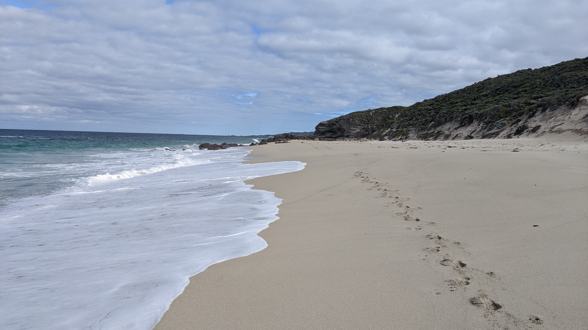
Occasionally there were these rocky limestone outcroppings, and some of them had the weirdest formations. A giant hole!
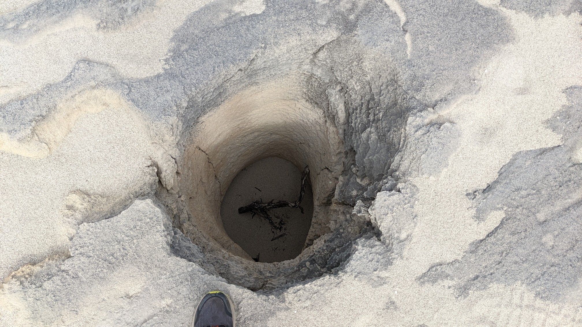
This one was a big slab that was all cracked throughout.
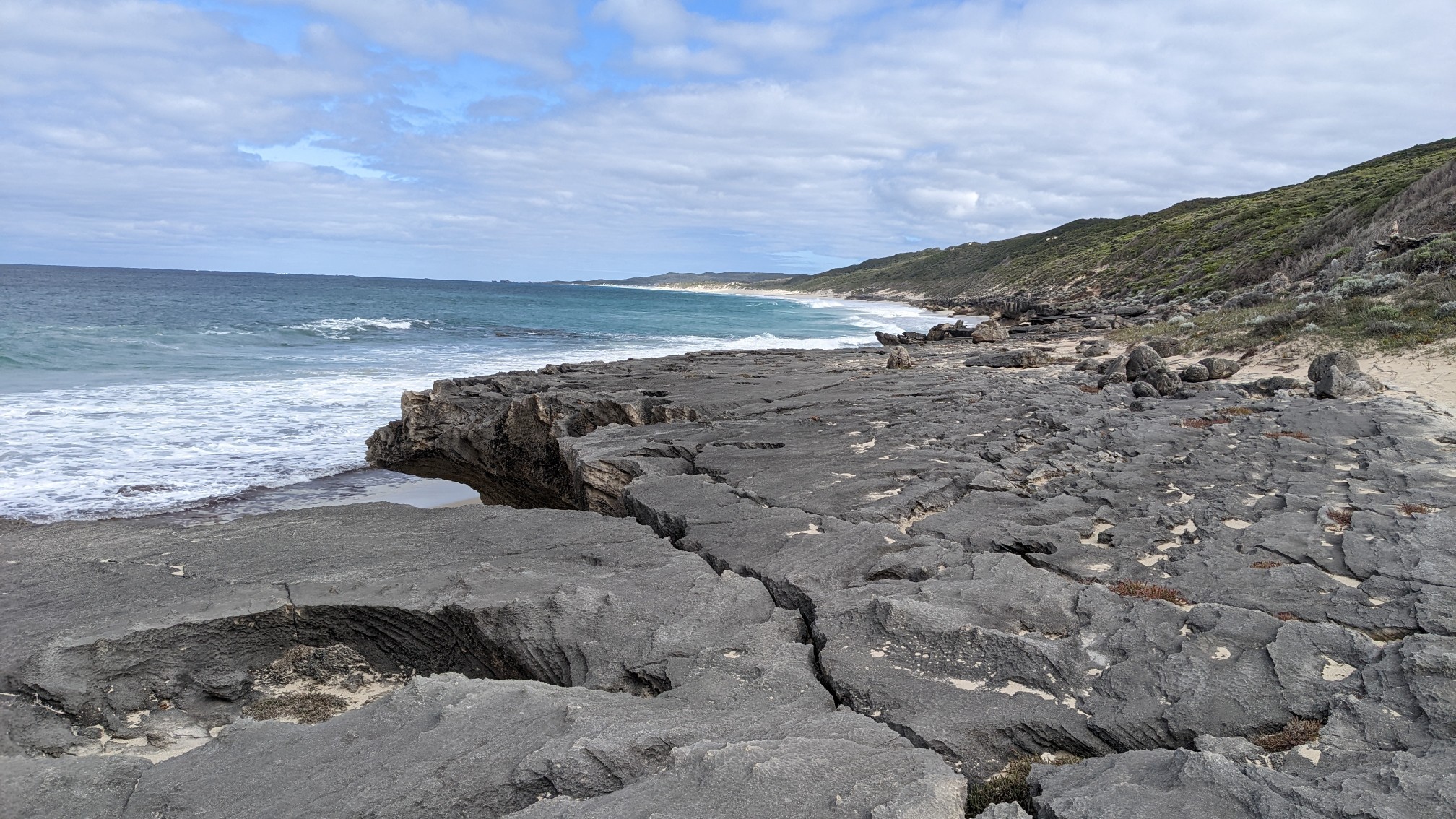
These insanely bright purple flowers grew all along the edges of the rock in the sand.
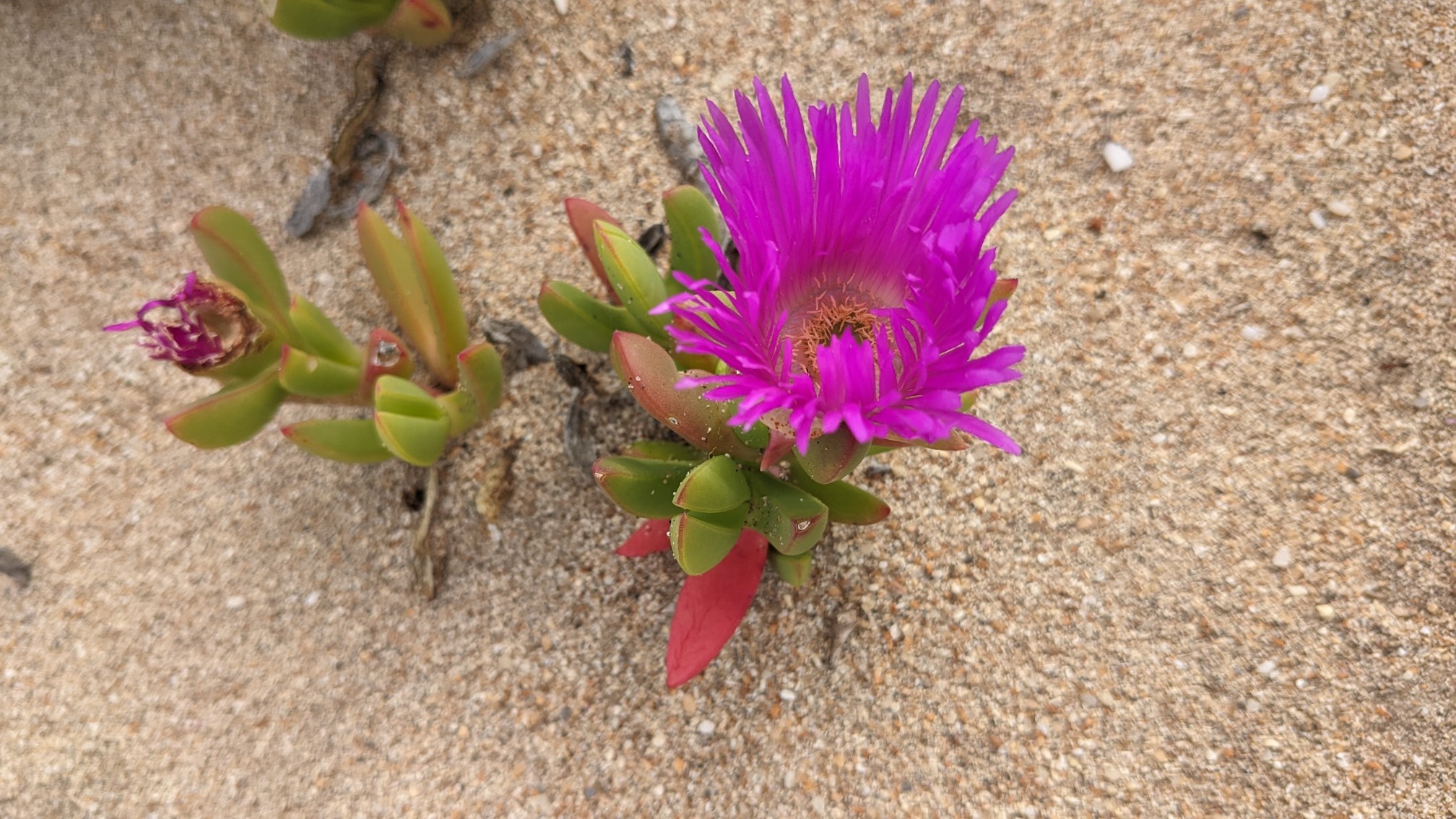
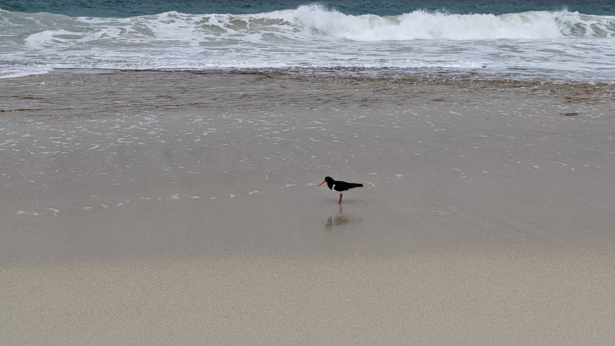
When I was stopped for a snack break, this bird came over and was looking for a snack of his own. It kinda looks like the photo of the Hooded Plover in my guidebook, an endangered coastal bird.
The beach walk went on all morning and was very relaxing.
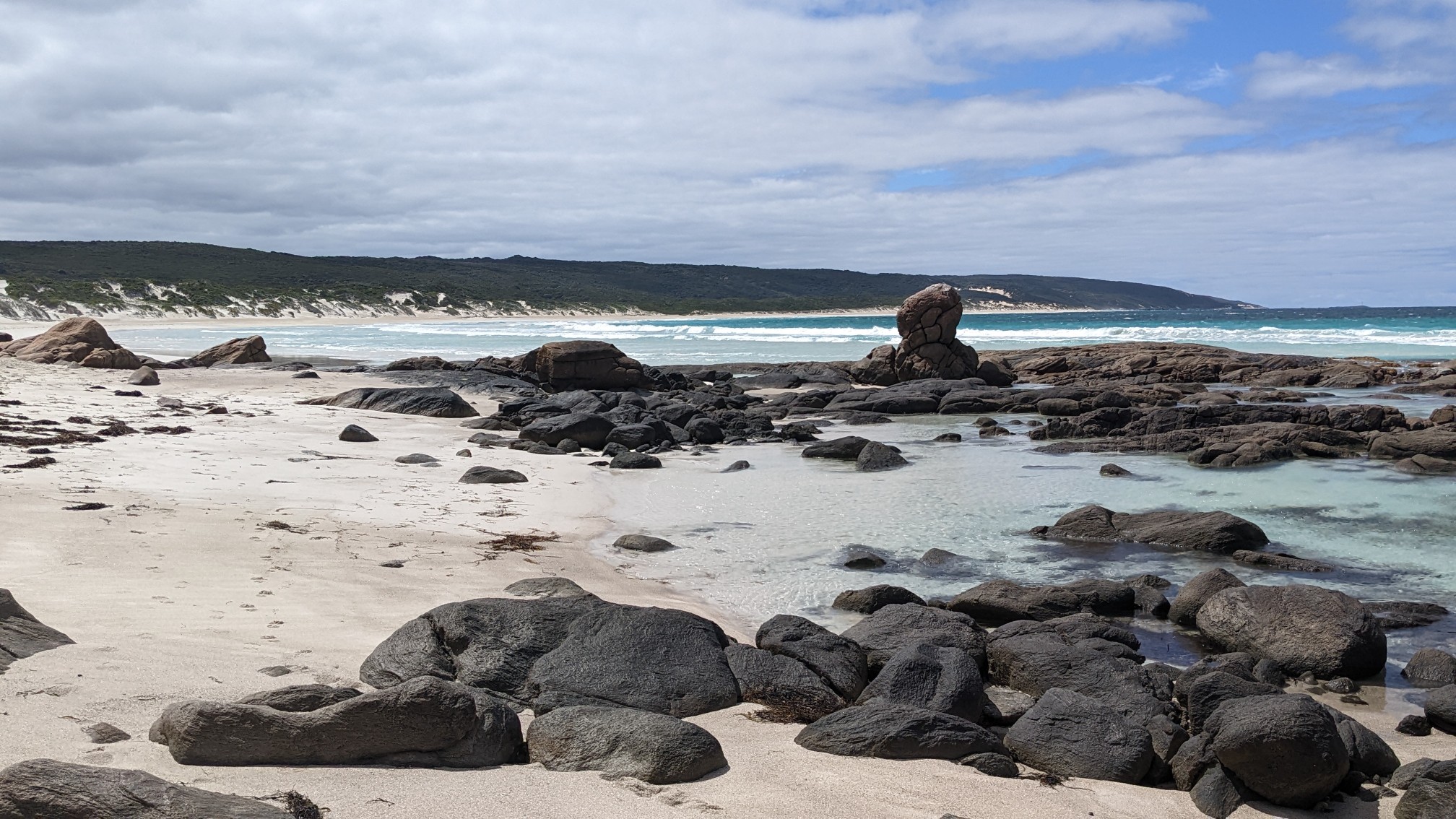
At the northern end of the beach was an area called Elephant rocks.
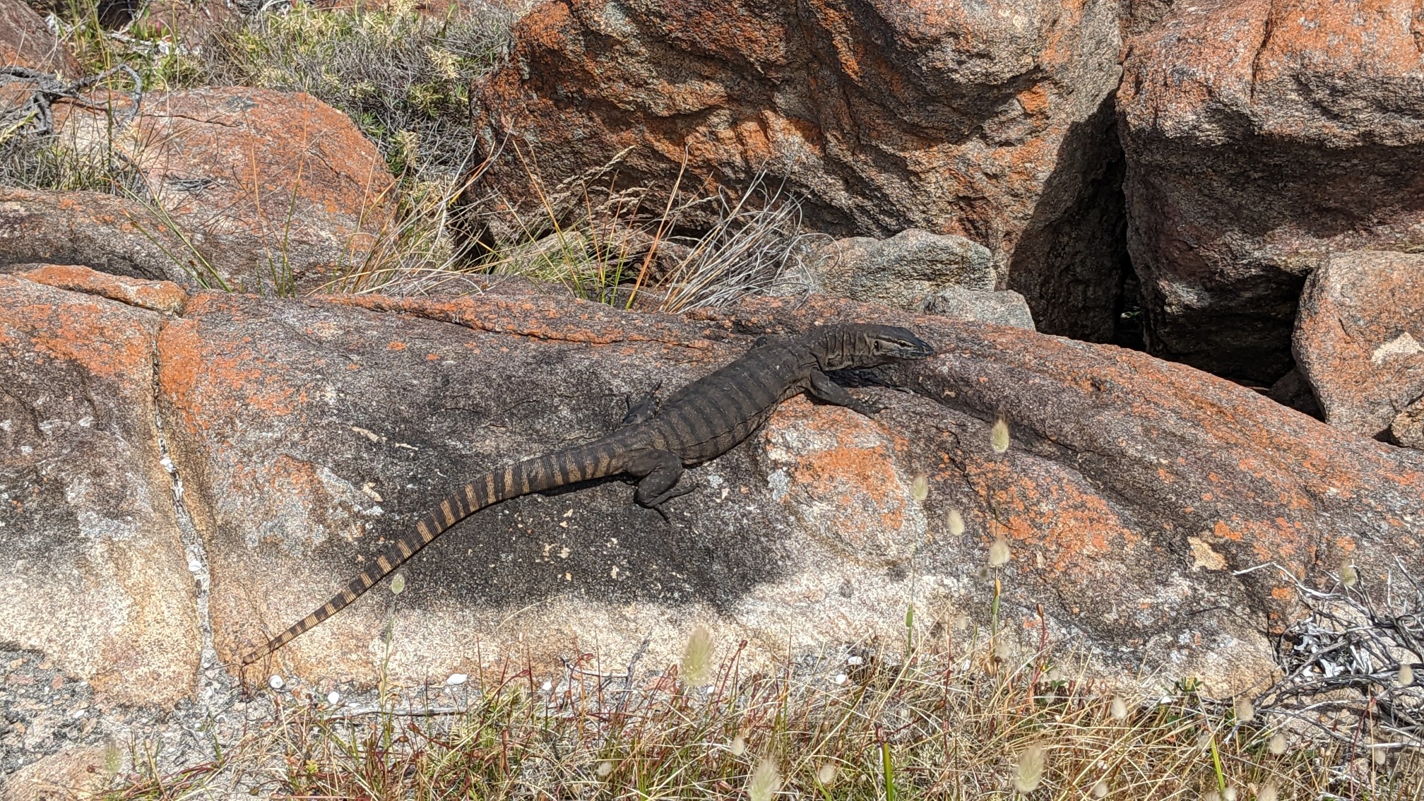
These lizards loved sunning themselves on all the warm rocks. At first I did not know the lizards were there, and the first one made me jump a little bit. They’re about half a meter long.
The water was making these cool sounds as it sloshed against the big rocks.
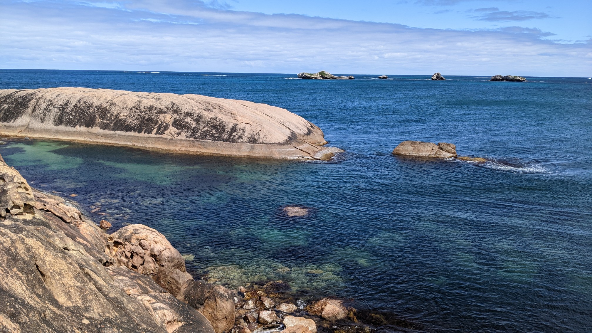
And there were many more of those large erosion holes.
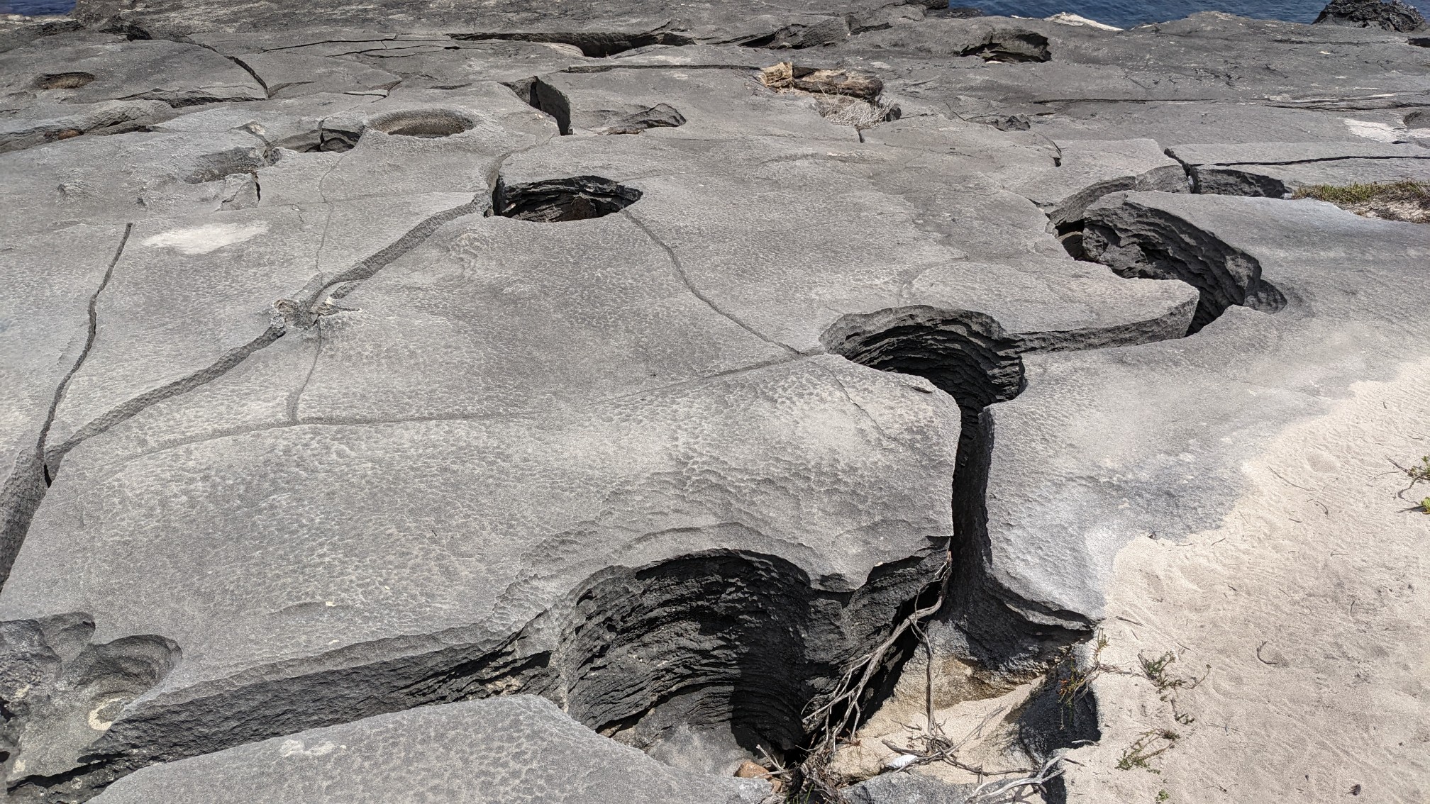
Eventually the rock became so eroded that it looked like a miniature version of the needles district in Canyonlands National Park (US).
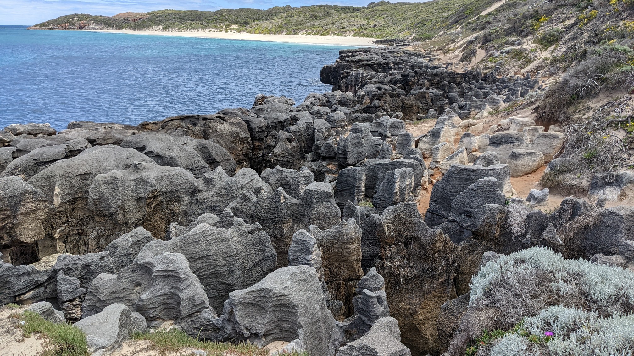
The trail climbed away from the beach and for 30 minutes I was back in the bushes.
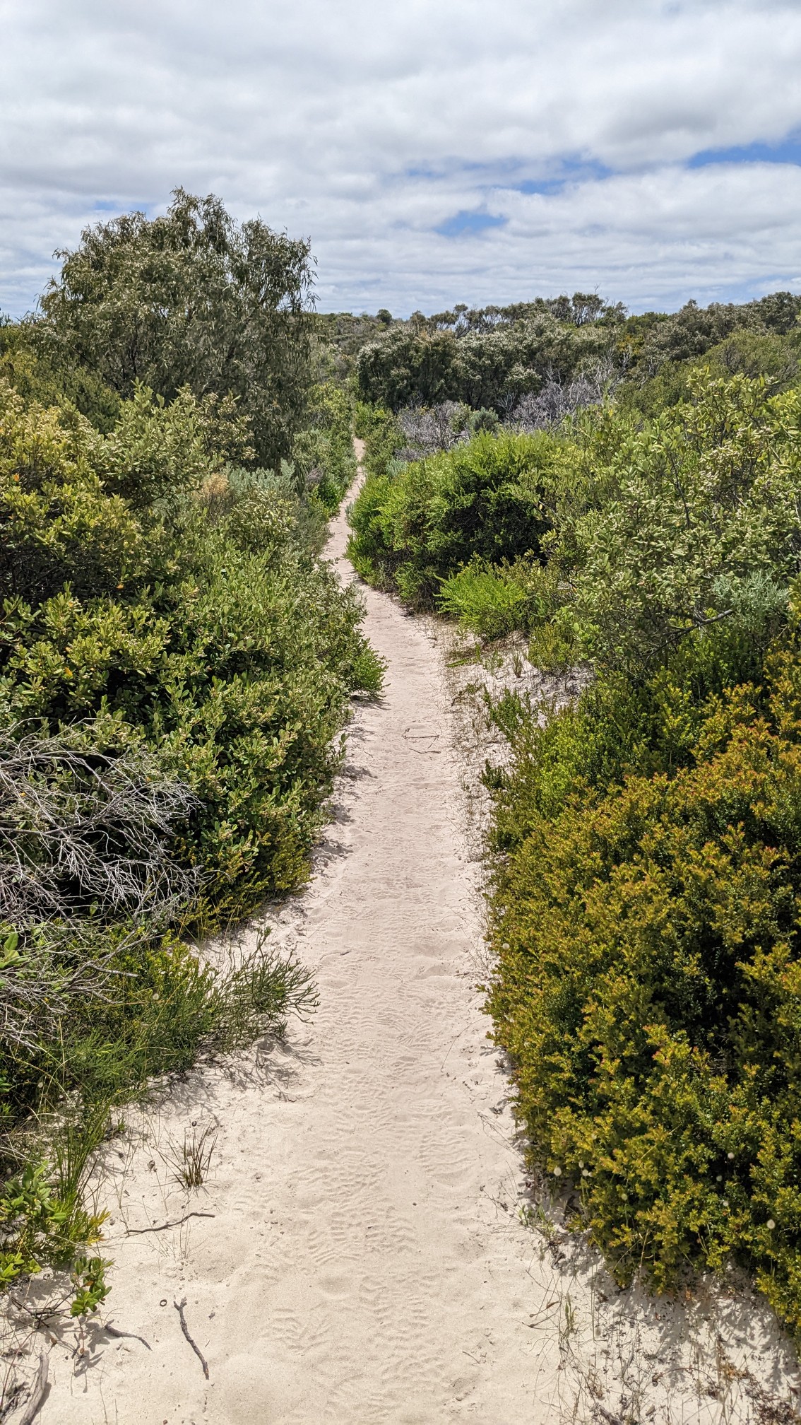
I passed by this modern lighthouse on a hilltop.
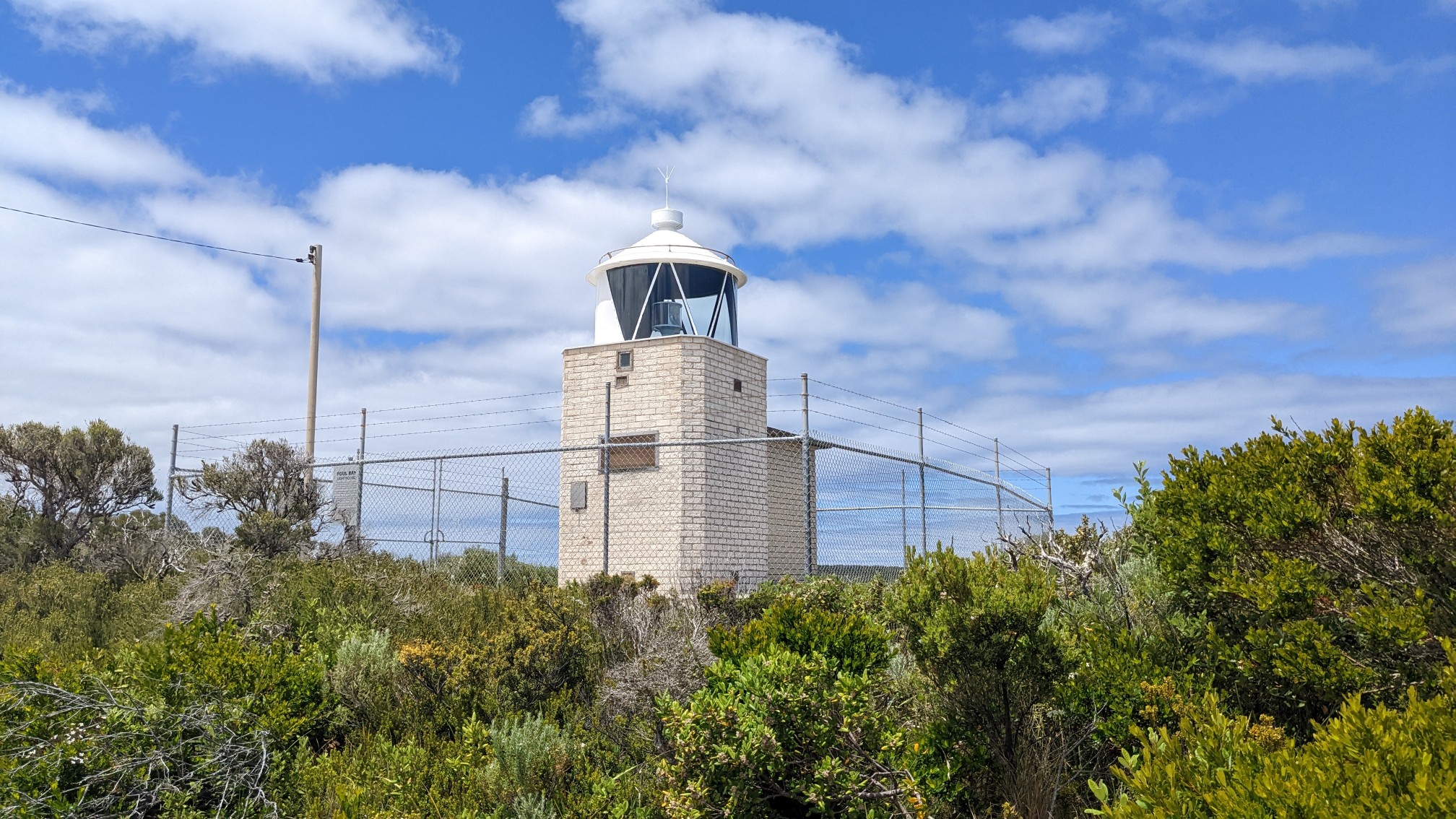
I also had good phone signal up there, so I updated my journal and checked my messages. I love the variety of this trail, it’s not all in the bushes or all on the beach.
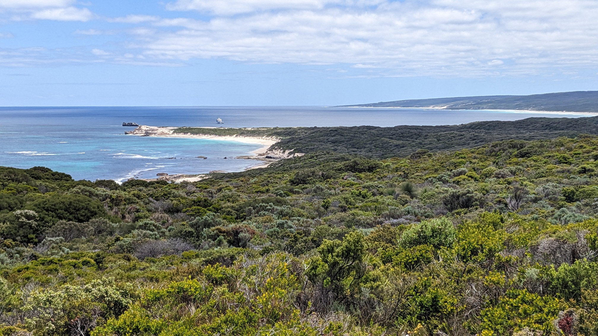
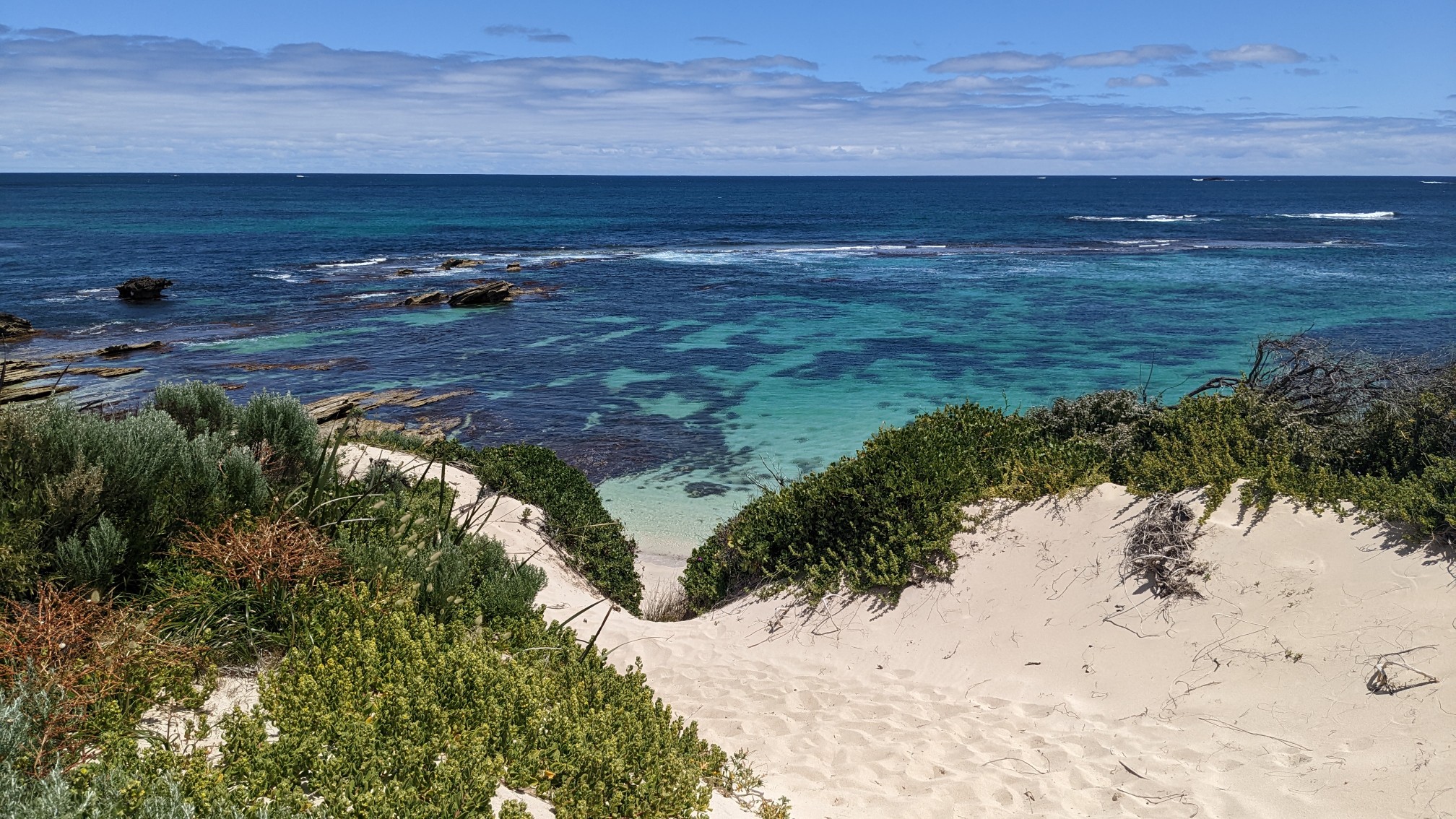
When I descended back to the beach, the ocean had some interesting turquoise colors to show off.
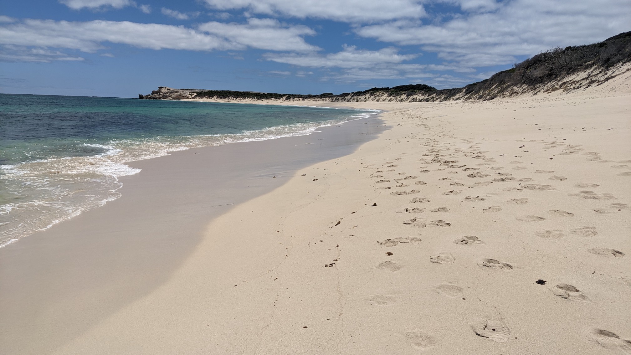
The beach walk was pretty easy and only lasted a kilometer.
When I arrived to Hamelin Bay Beach, there were tons of people, cars, and interpretive signs. This area had once been used for shipping lumber from the inland of Australia to around the world. Some of the pilings from the old pier were still visible, the pier had mostly been destroyed over 100 years ago by a fire.
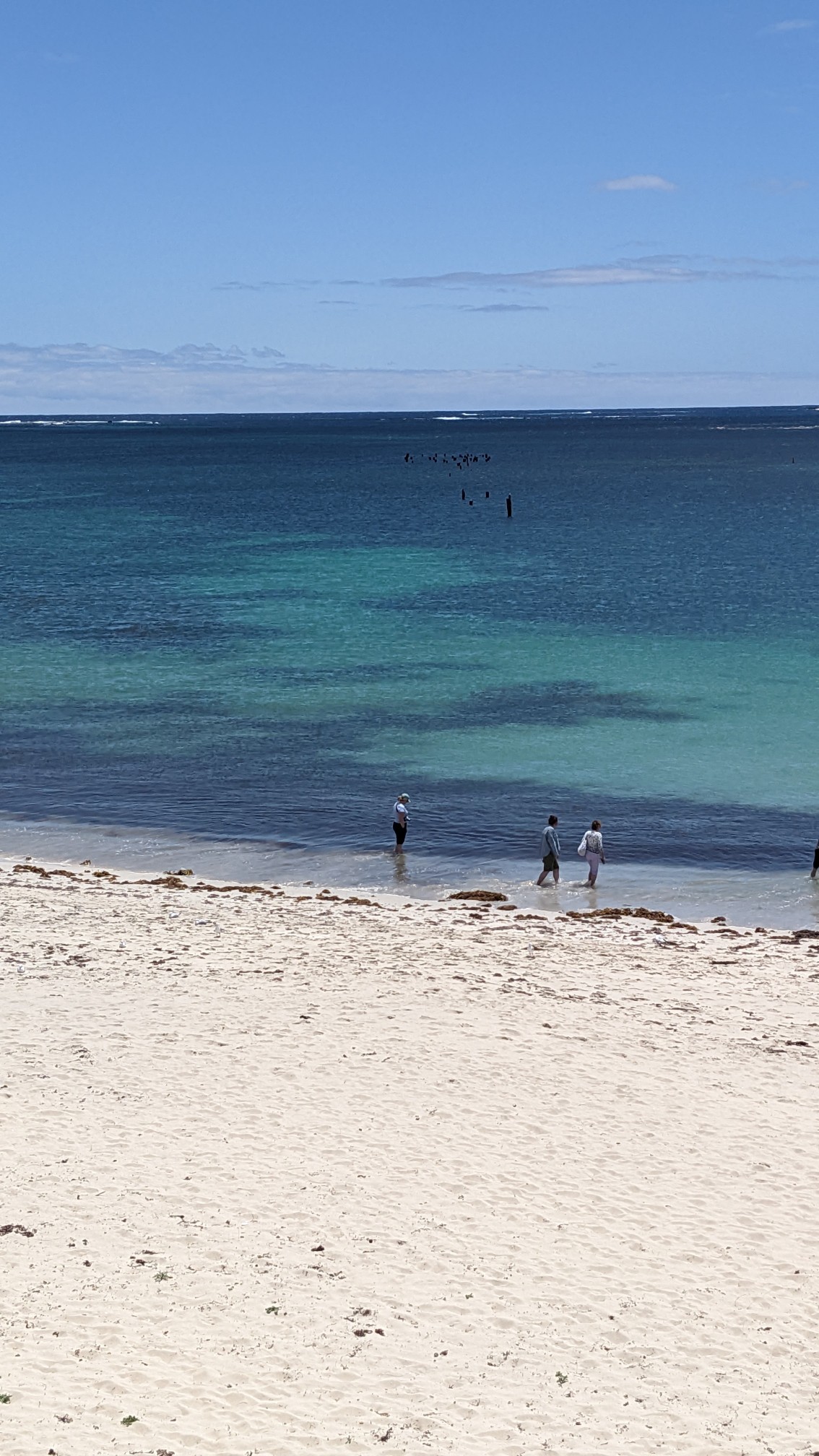
So many people!
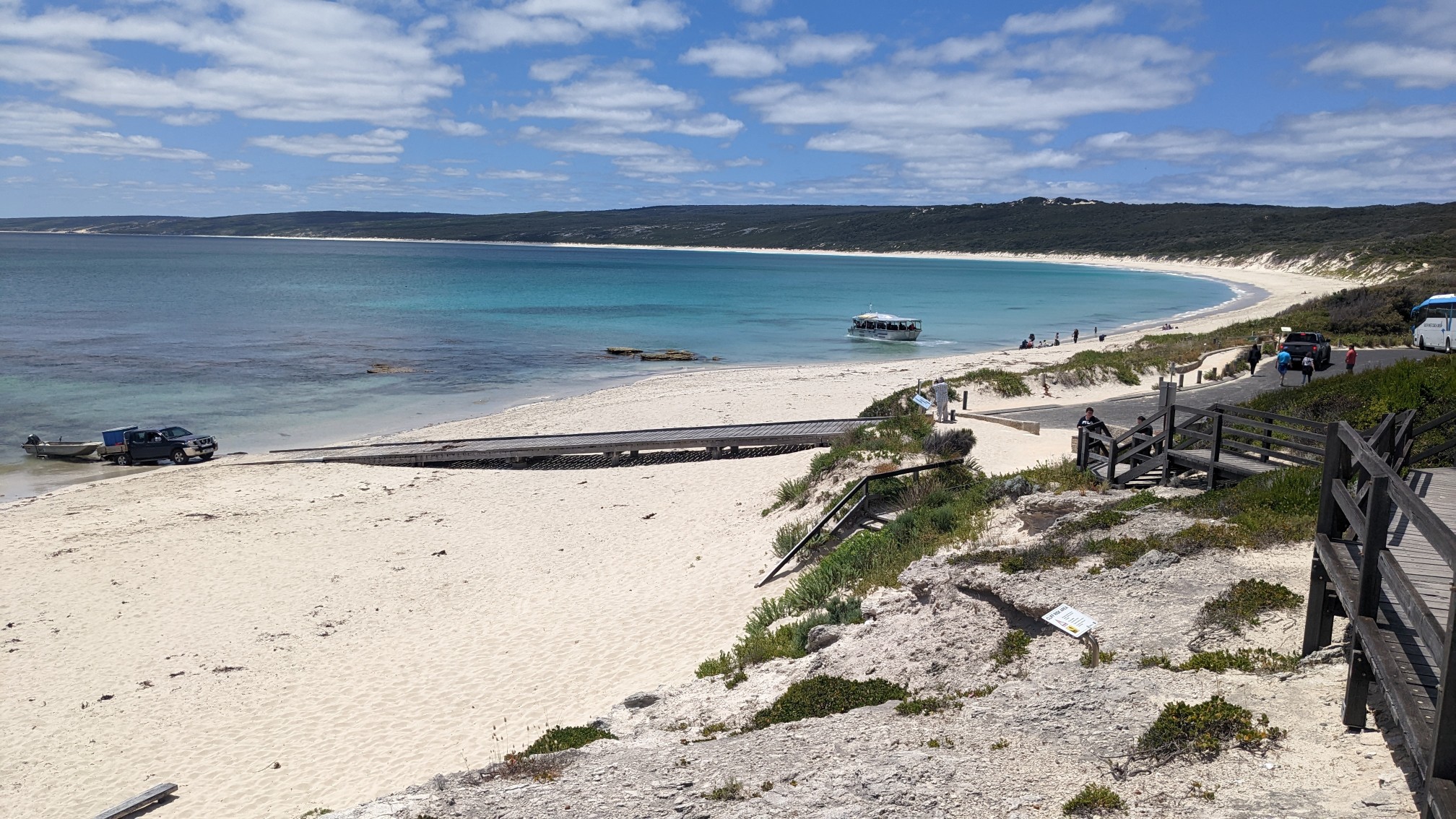
This area had a caravan park (campground) so I stopped into their little store to buy a cold drink and some ice cream.
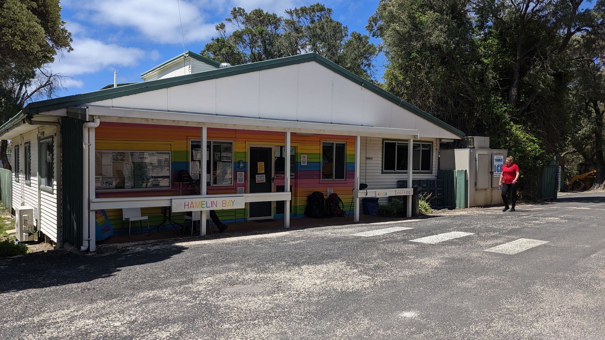
I met another couple there, they were hiking this trail southbound, as most other hikers seem to be doing. They weren’t very talkative, so after a few attempts I abandoned conversation and they returned to their phones. After finishing my food and refilling my water bottle I continued back on the beach.
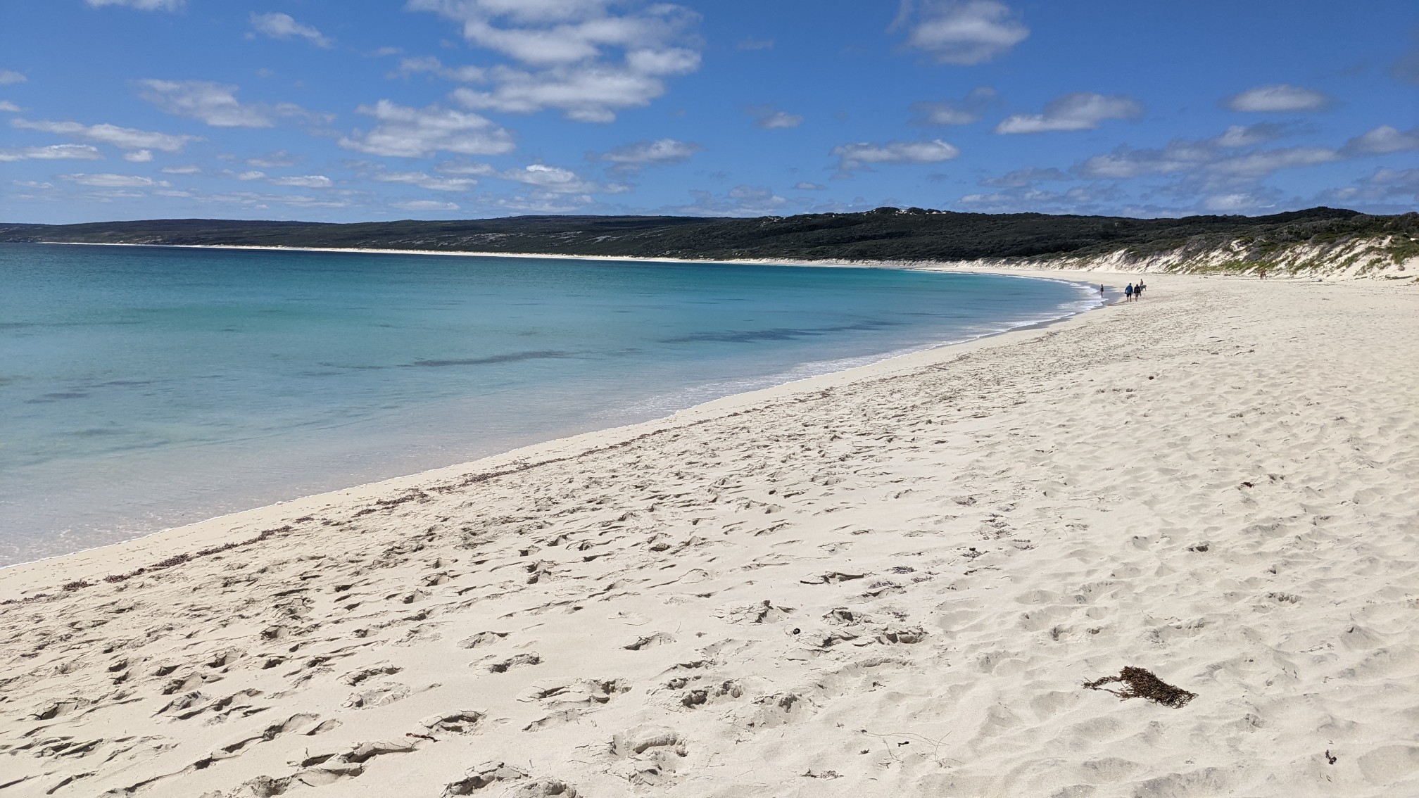
Hamelin Bay Beach went on for awhile, it was 6km long, and I saw 4 more hikers heading south.
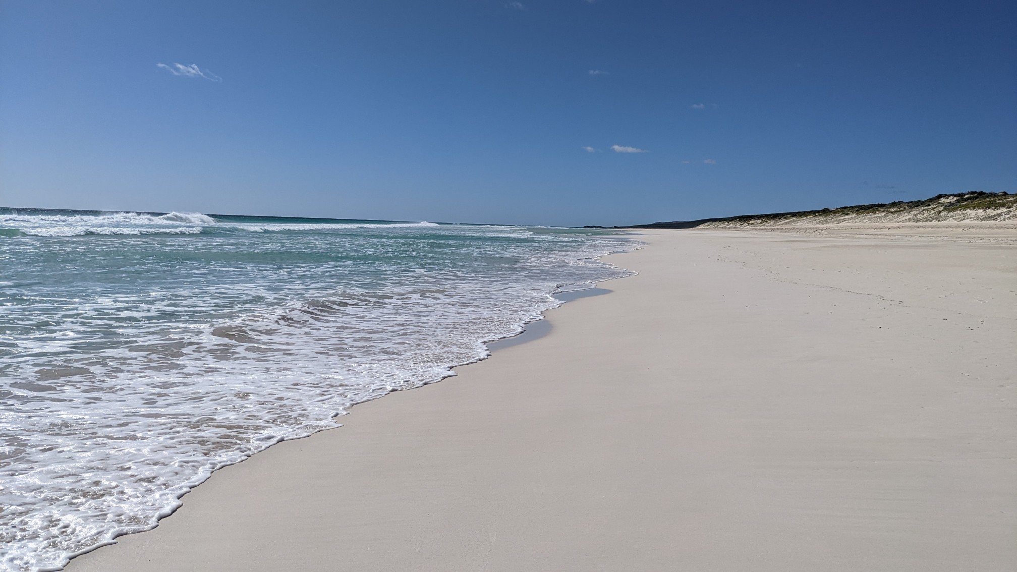
I realized it was only 3pm, and I would be at my planned camp spot within the hour. So I took a very long break on the beach and just laid there on the sand reading my book. Eventually I hiked on, and soon I climbed off the beach up onto the ridge. The spot I had planned to camp at and been burned over.
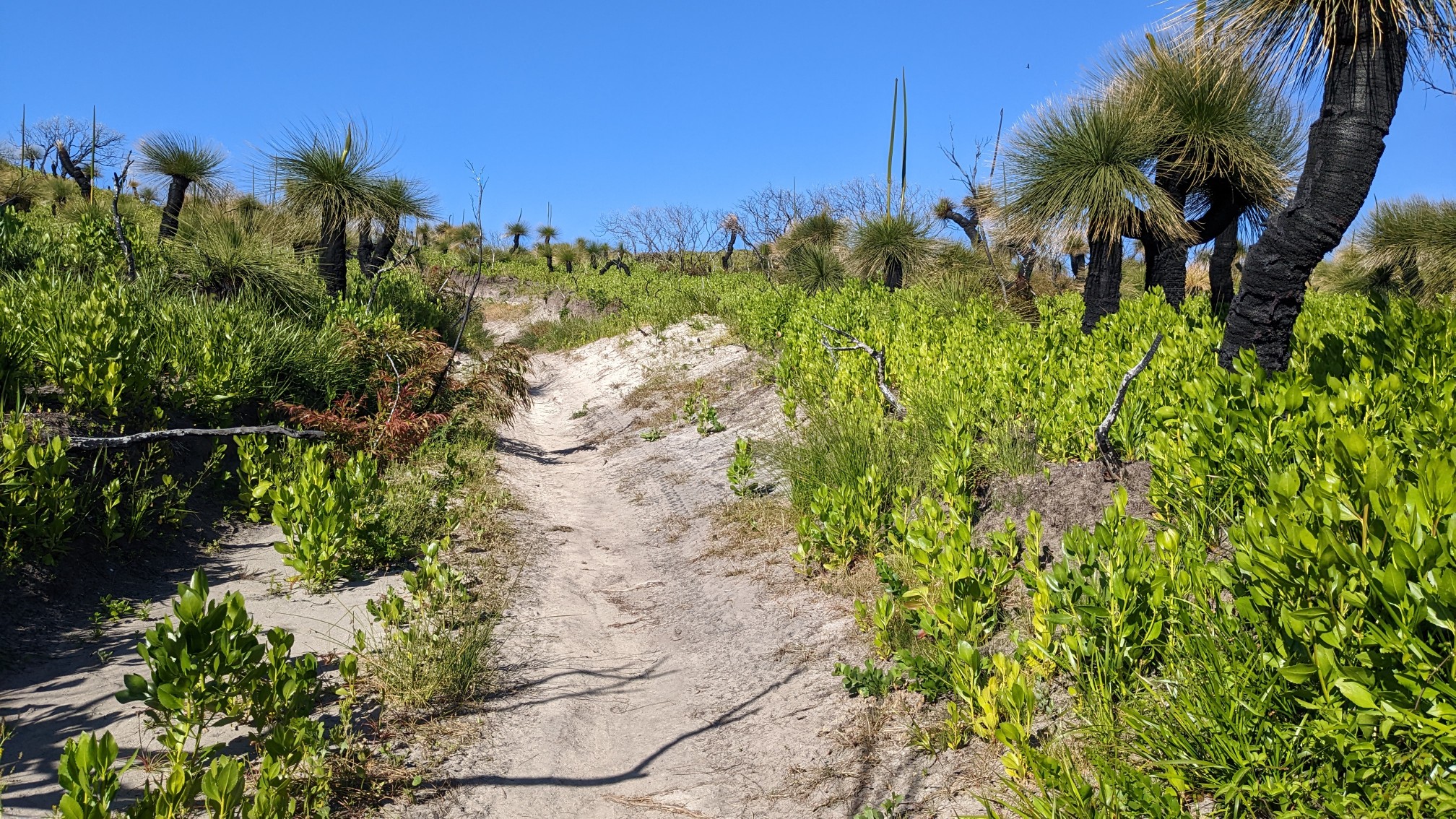
So I hiked on for another 30 minutes before finding a great spot on top of a little lookout. It was almost ideal – on bare ground, under trees, and away from water. But later in the evening it became quite windy, and I had to readjust the tent stakes to make the fabric stop flapping. Ugh. At least it had great views of the entire surrounding area and a pretty killer sunset (I forgot to get a photo).
Great photos of a very intriguing landscape – especially all those holes in the rock!
Fantastic pictures. Like another world.
It reminded me of Rialto Beach, which is much easier to visit!