Tuesday November 15, 30.3km/18.8mi
Boranup Hill Lookout (34.3/190m) to Kilcarnup Beach (64.6/13m) (WA)
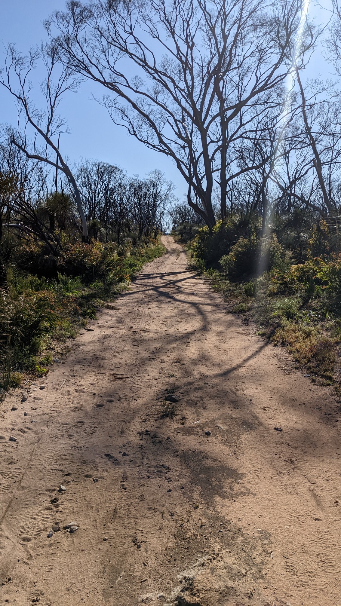
The wind had died down overnight, and when I woke up at 6am it was perfectly calm. The first couple of hours was spent walking along old roads, which is my favorite type of trail in snake country.
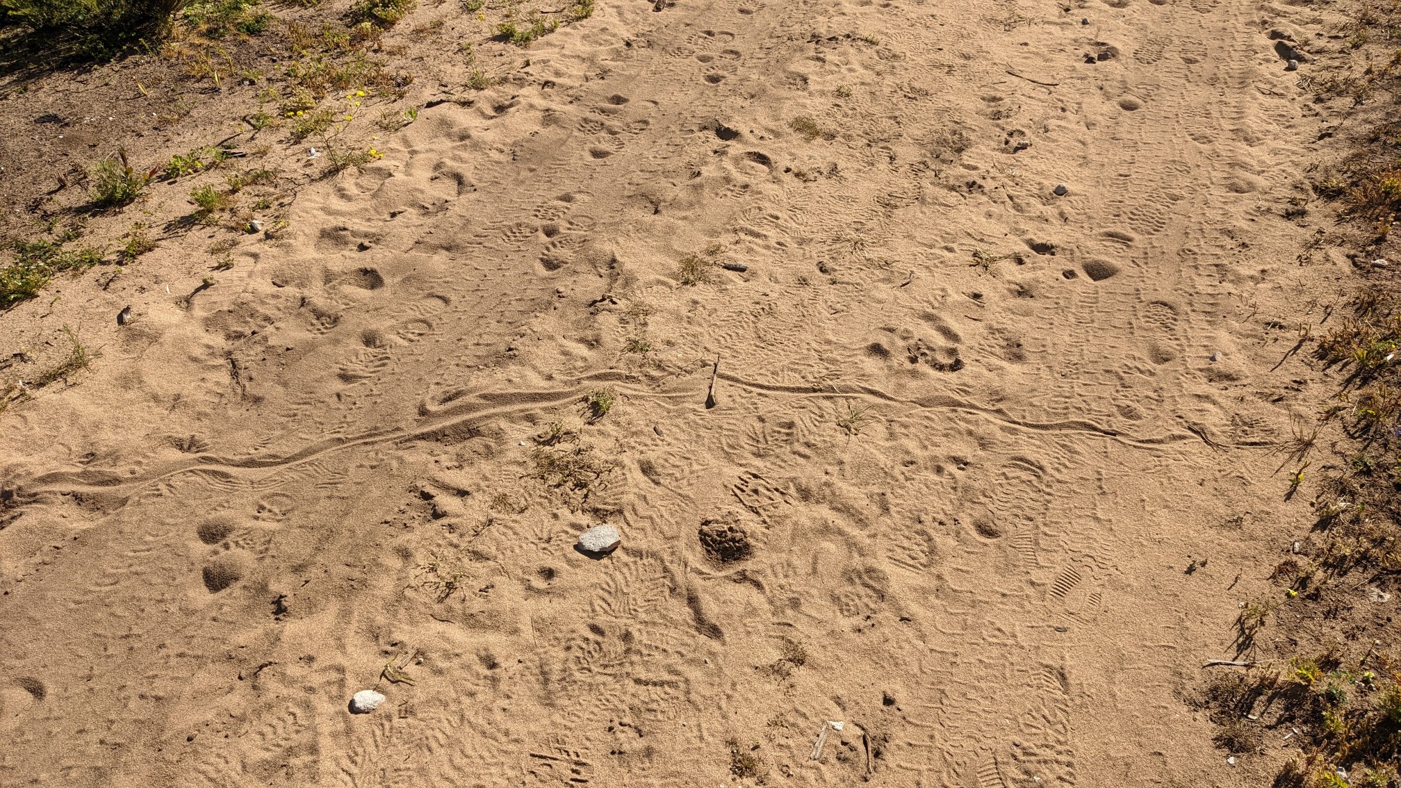
And there did seem to be plenty of snakes around as I saw evidence of their passing by. Snake tracks!
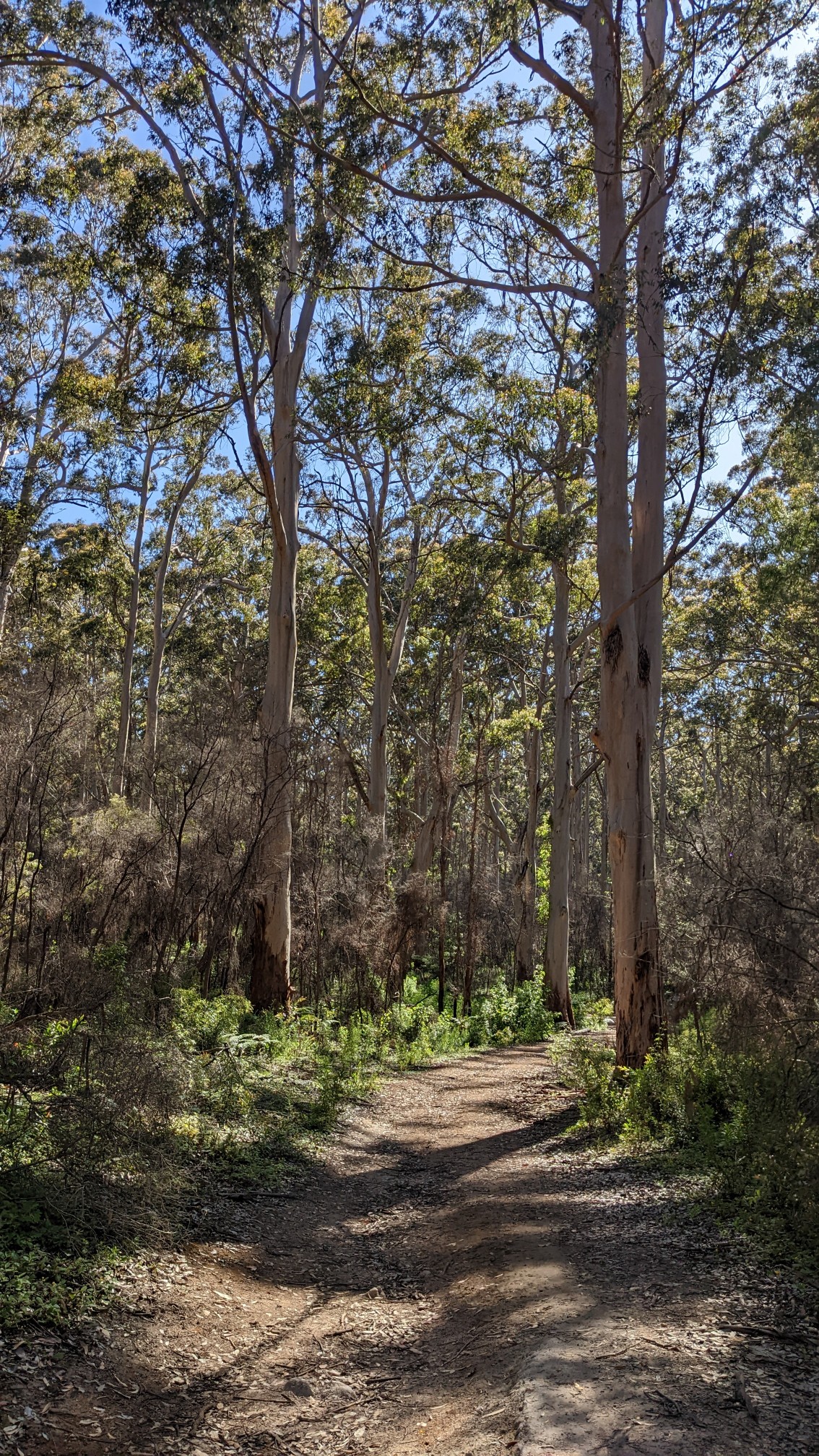
Eventually the burned coastal landscape turned into a nice Karri forest.
I thought about taking a break at Point Road campground, but it was all taped off and closed.
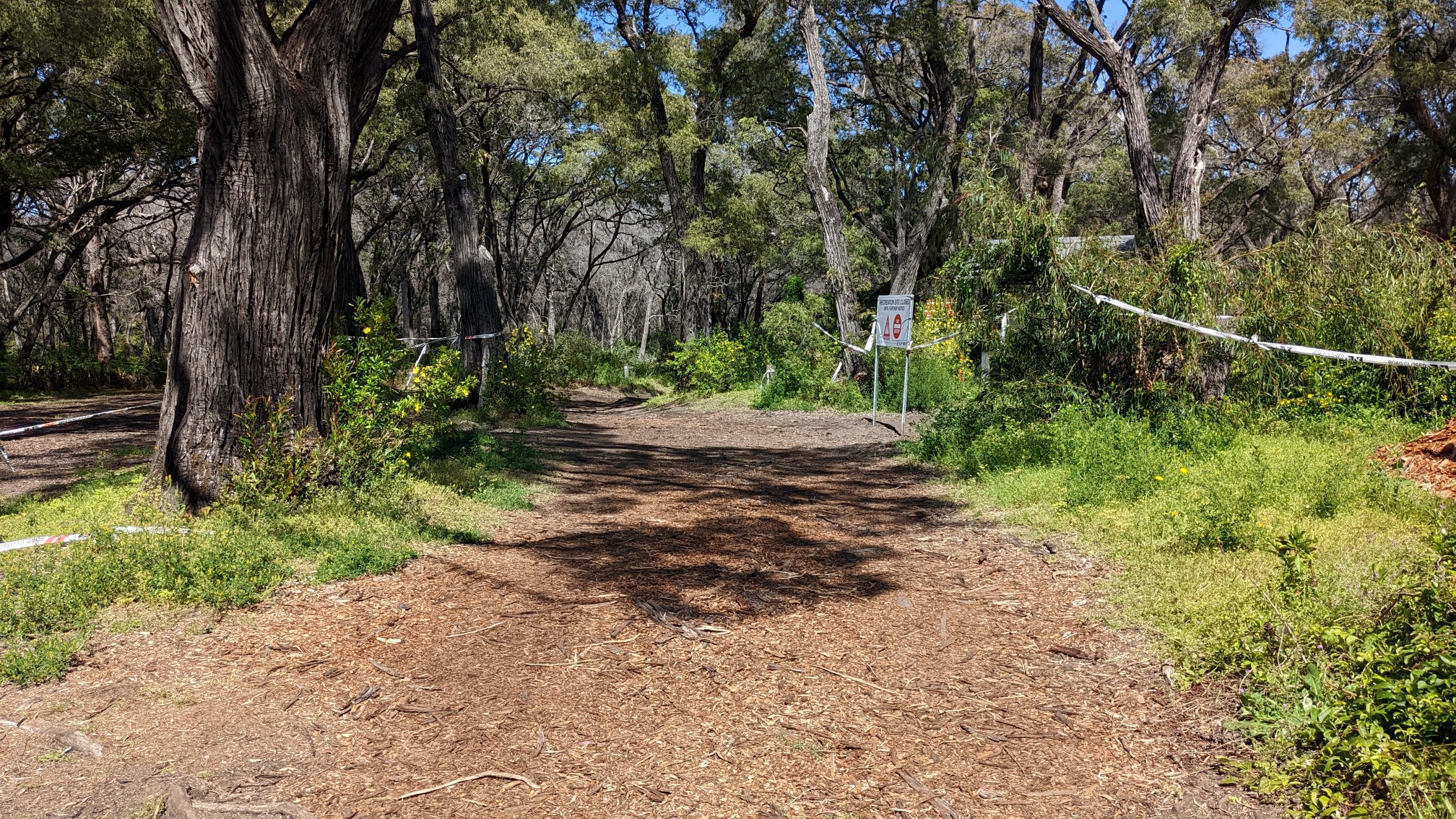
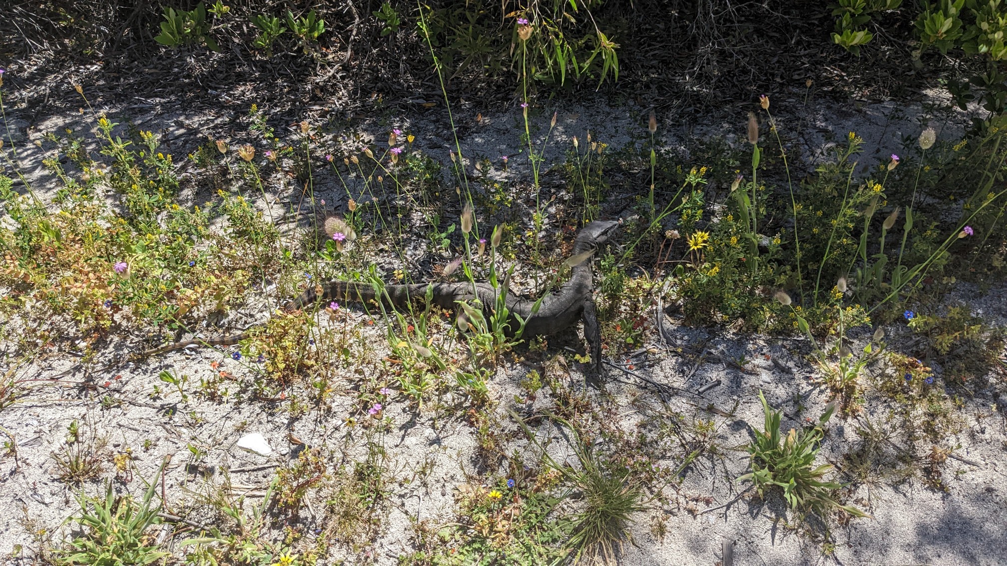
It was strange because even though it was in the burn zone, the campground itself looked perfectly fine. I hiked another 15 minutes and took a break at the Conto campground instead. After refilling my water bottle and snacking, I came across this lizard on the hike out. He was unhappy to move from his nice sunny spot in the middle of the trail.
A few minutes later, and I was approaching the coast again.
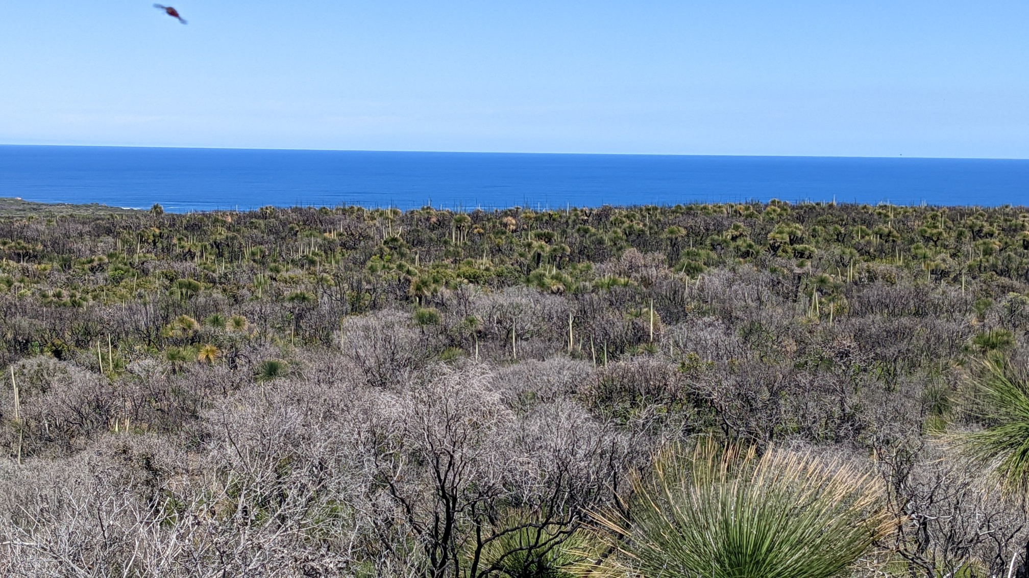
The trail weaved closer…
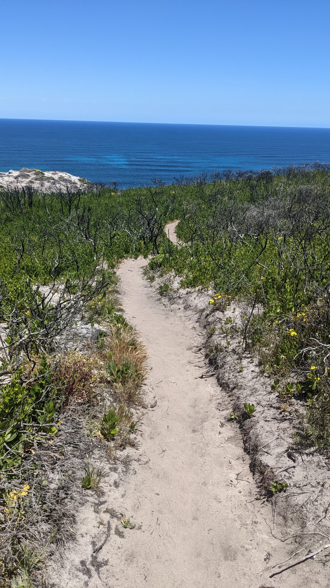
…and closer.
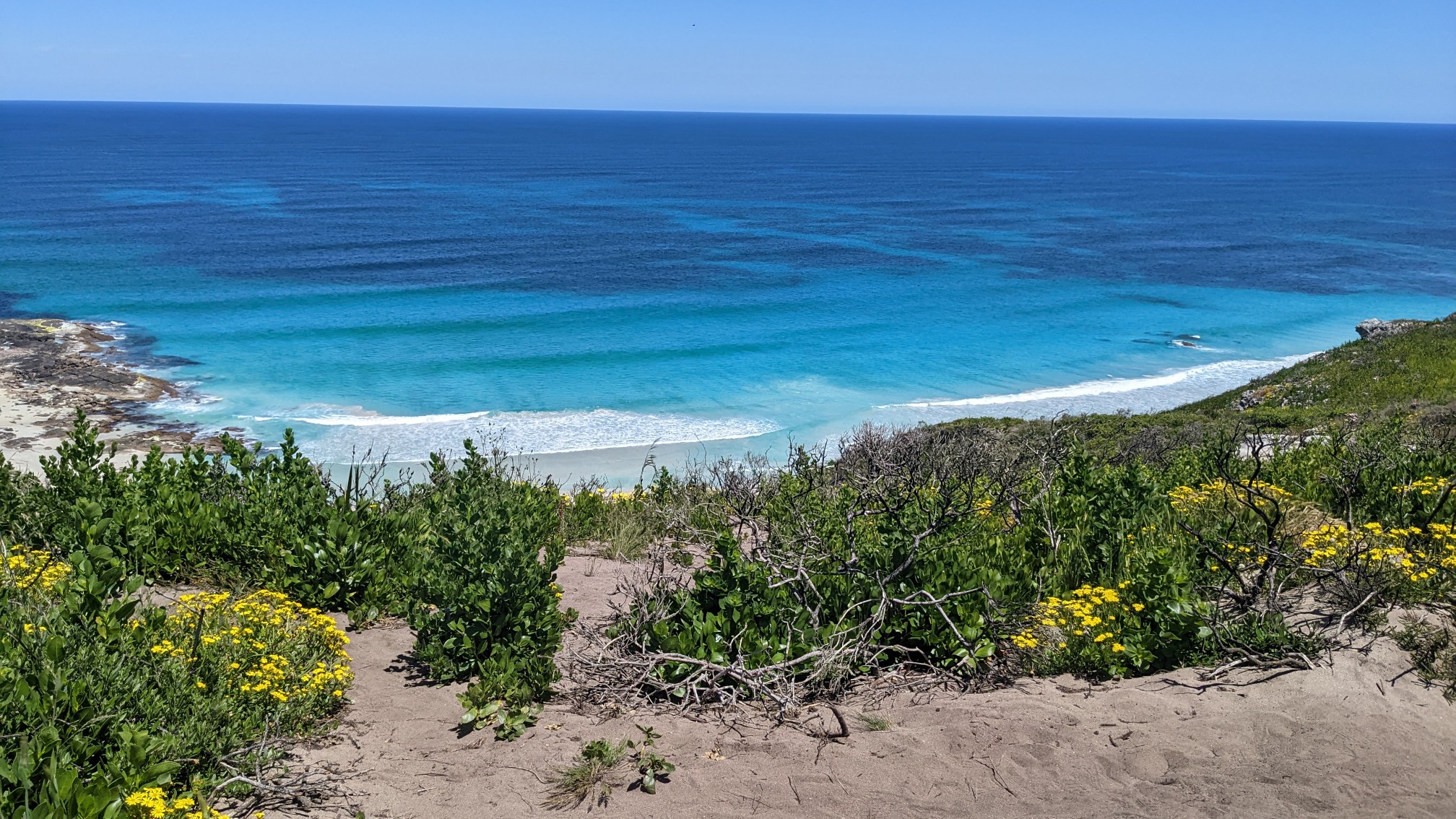
For an hour I hiked on a cliff above the beach, and I could see people down there swimming and napping.
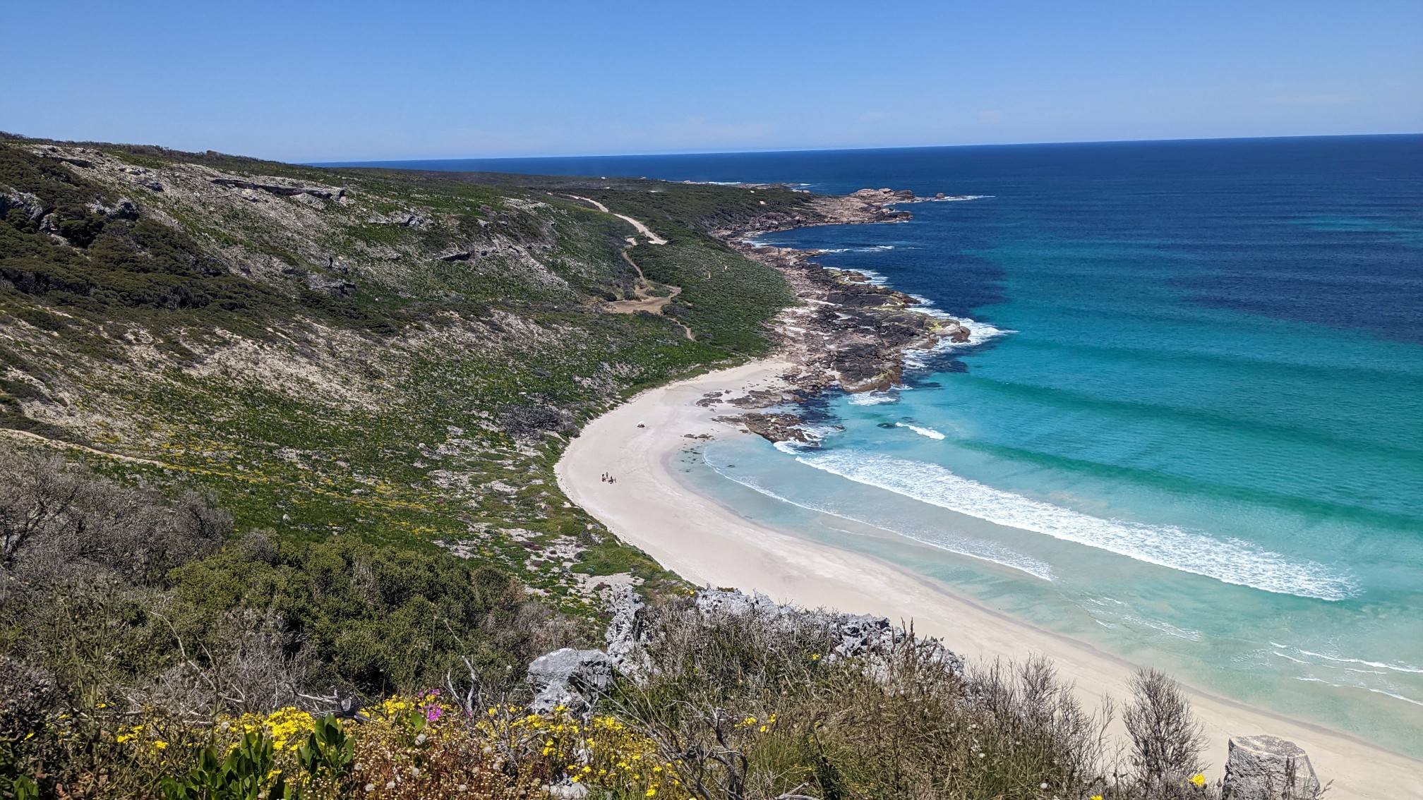
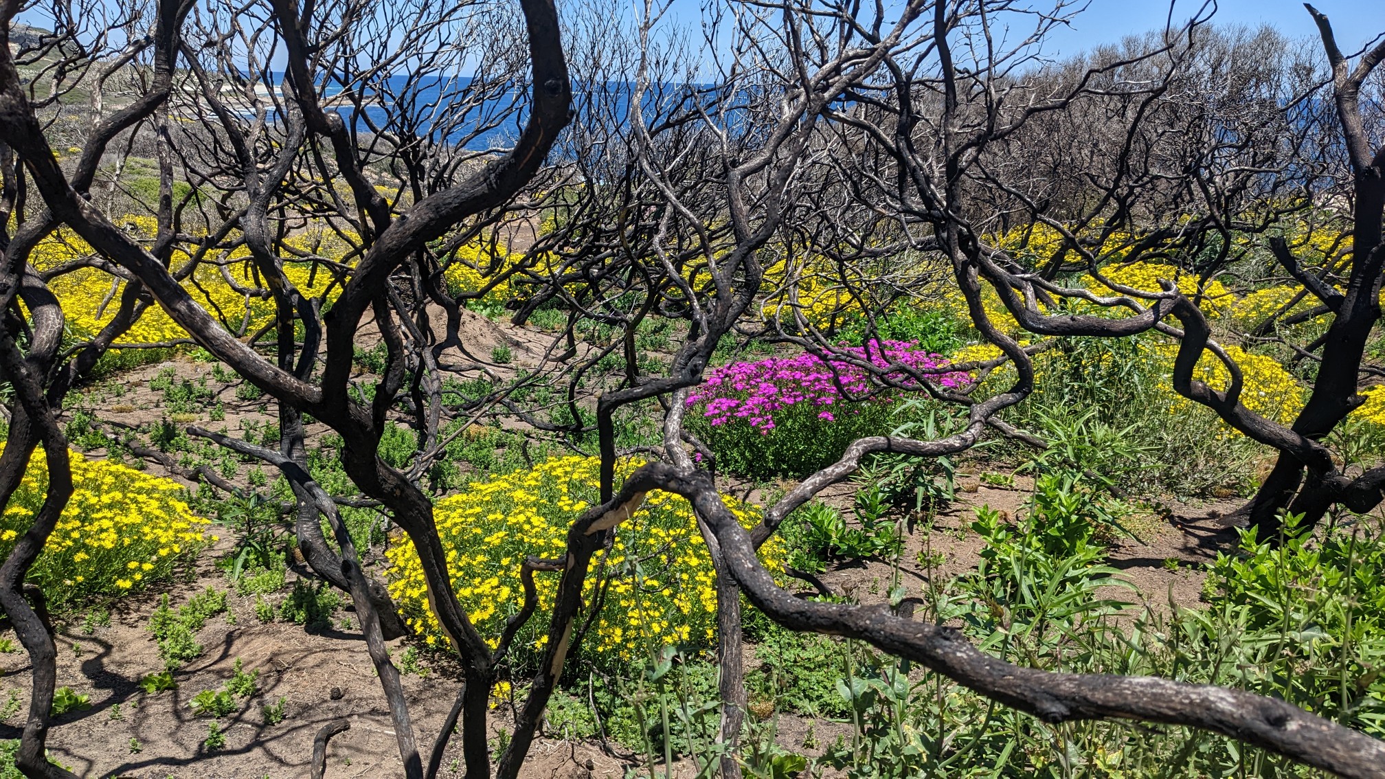
The trail was still in a burn zone, but nature has a way of renewing itself pretty quickly. These little purple flowers covered the ground near the trail.
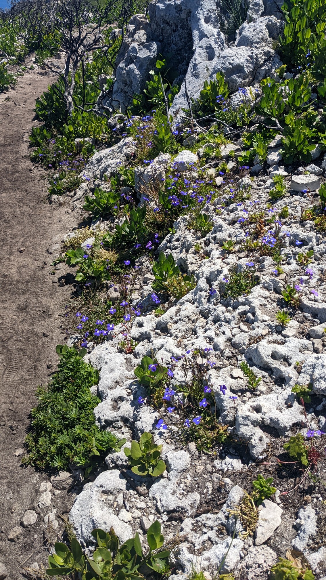
And the whole area was full of bright green new vegetation.
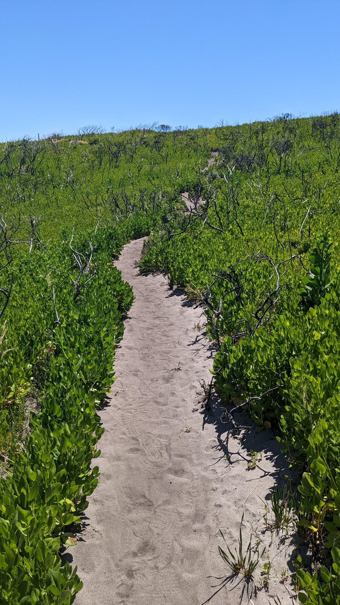
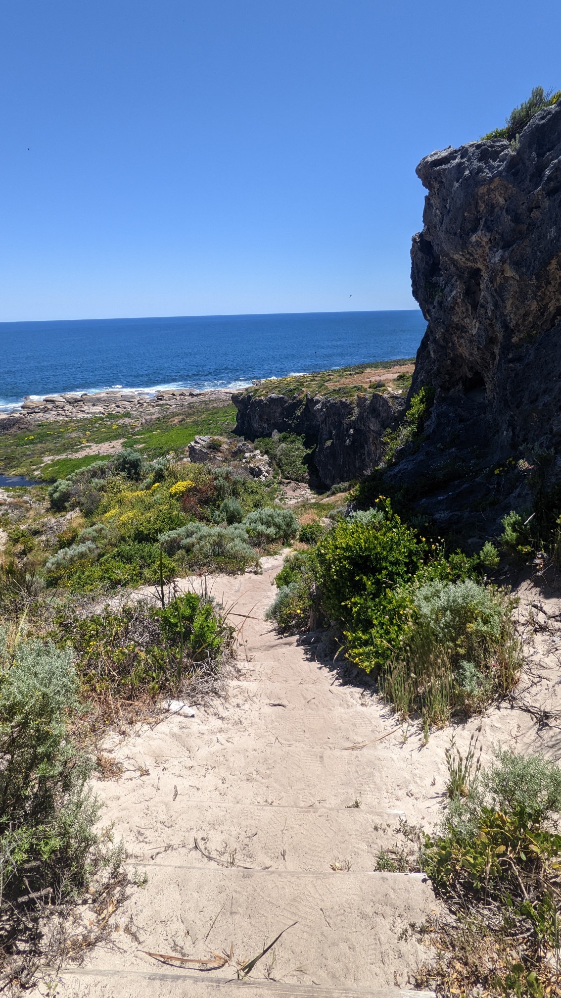
And then the trail started to descend to the beach again, to an area called Bob’s Hollow.
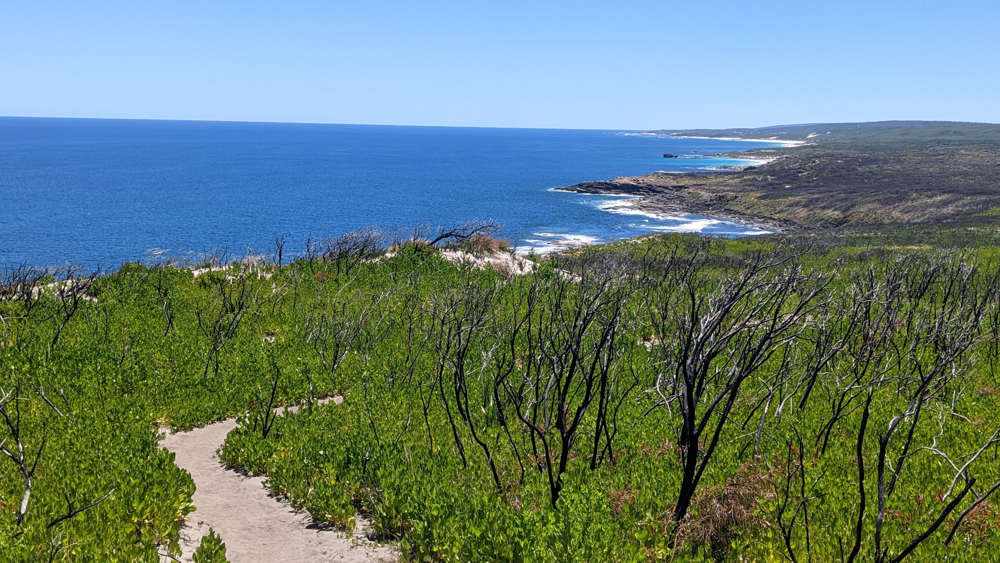
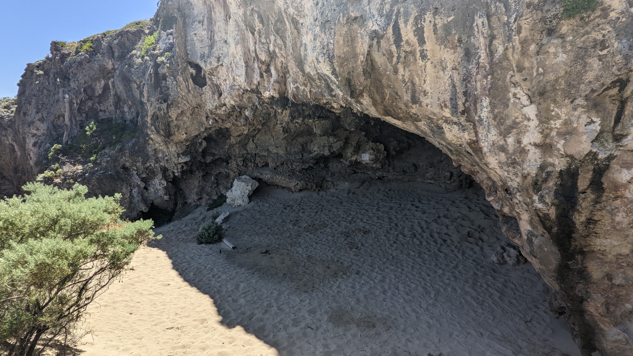
There were plenty of little limestone cliffs on the way down.
And some of them even had shallow caves in their base.
I thought about stopping at Bobs Hollow for lunch, but it was still early so I kept going for a little while. One of these things is not like the other….
As I rounded the corner, Redgate Beach came into view.
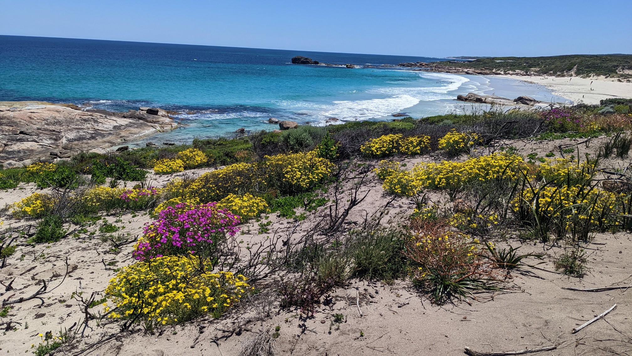
Even from this distance, I could see the beach was crowded with sunbathers and surfers.
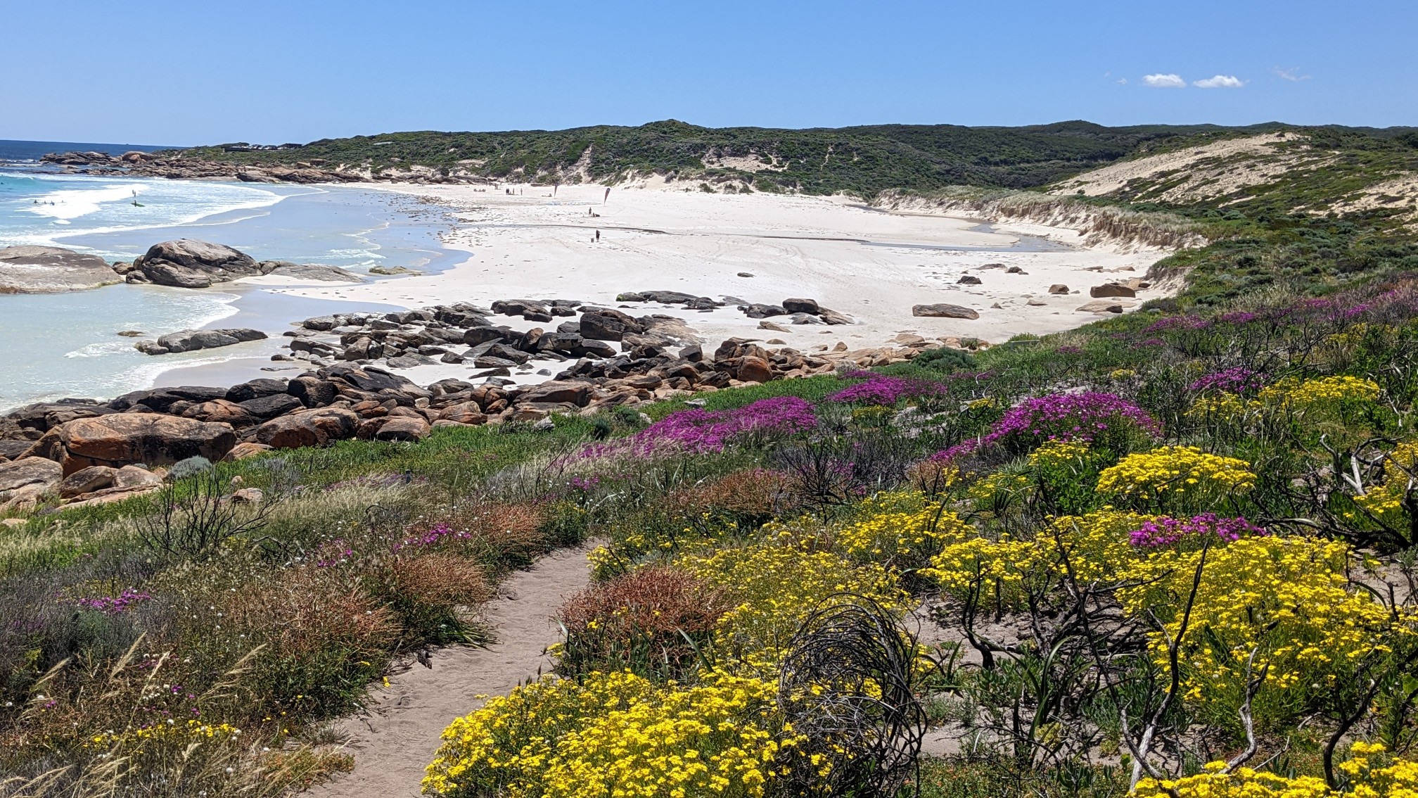
When I got down to the beach, I had a good time watching a group of people try to surf the waves.
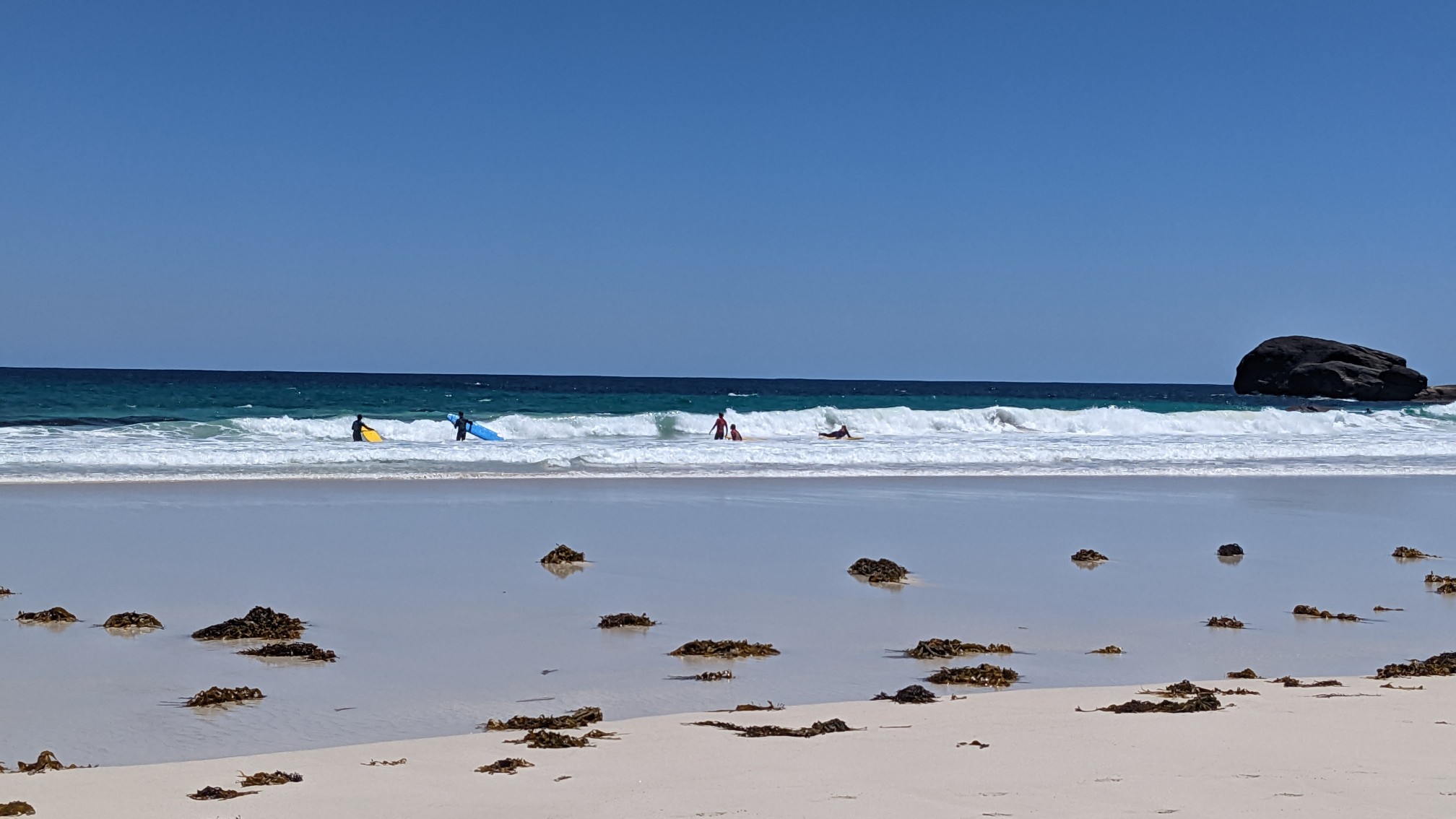
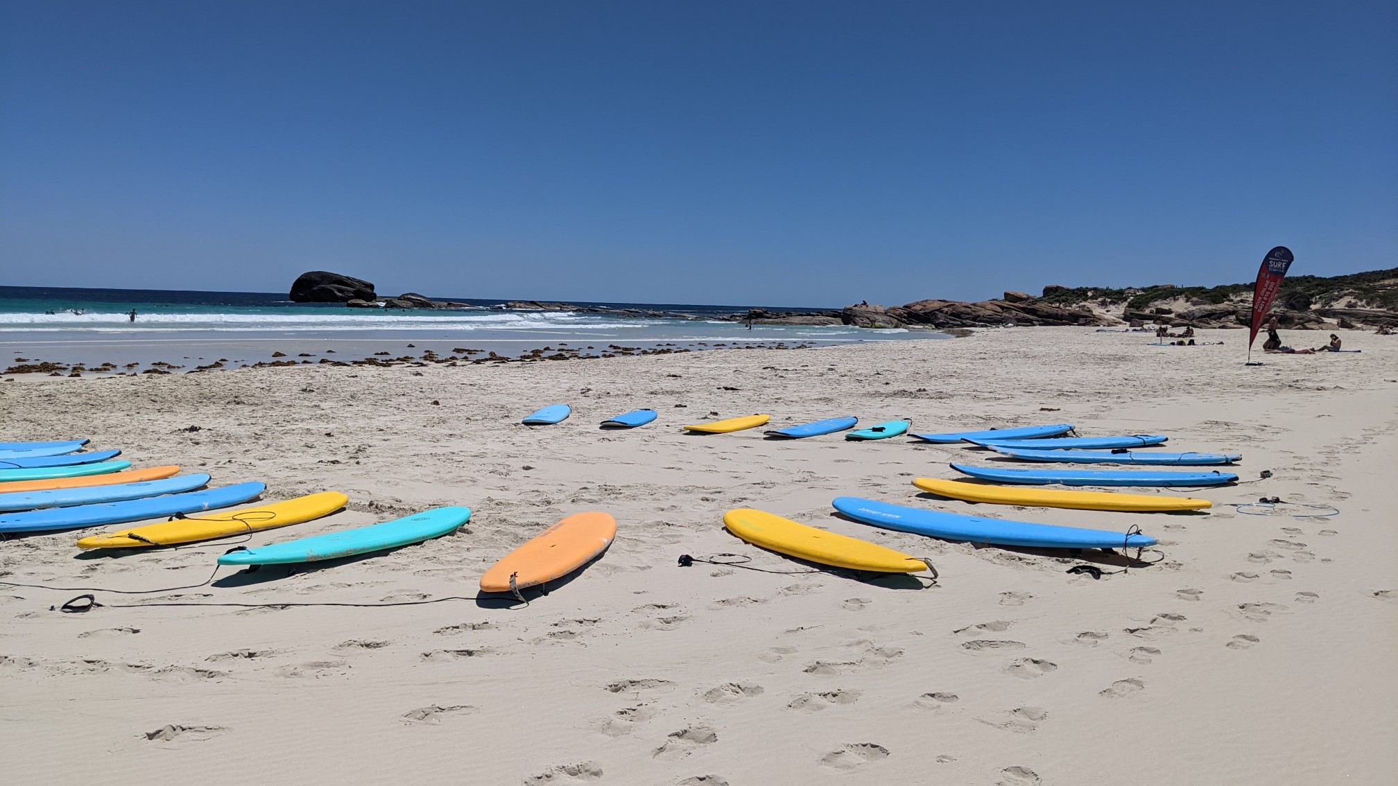
Apparently this beach is the home of the famous Margaret River surf school.
I stopped at the far end of the beach, and had lunch on a nice flat warm rock.
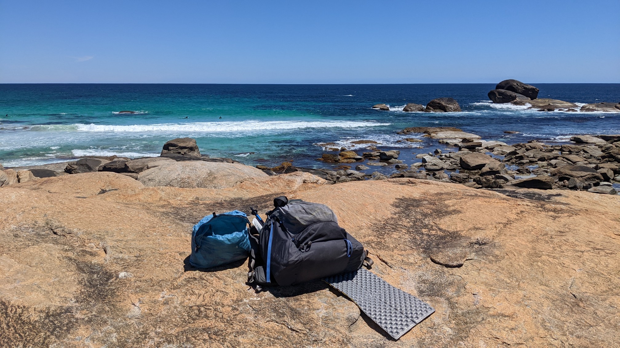
I spent at least an hour on that rock… eating and napping. After lunch I had a beach walk, which was on some very soft sand, fortunately it was only for 20 minutes.
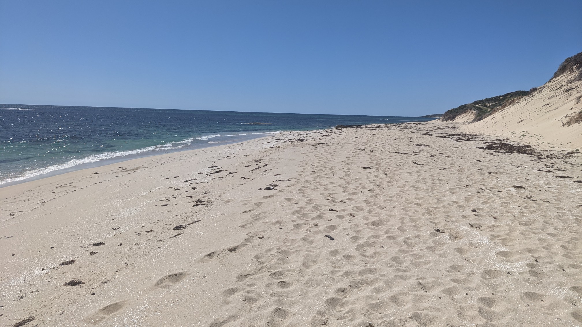
I was glad to leave the beach and hike back up into the dunes again. I had noticed something the past couple days, that all of the trail marker posts seem to have a blank spot on the side, it looked like something had recently been pried off.
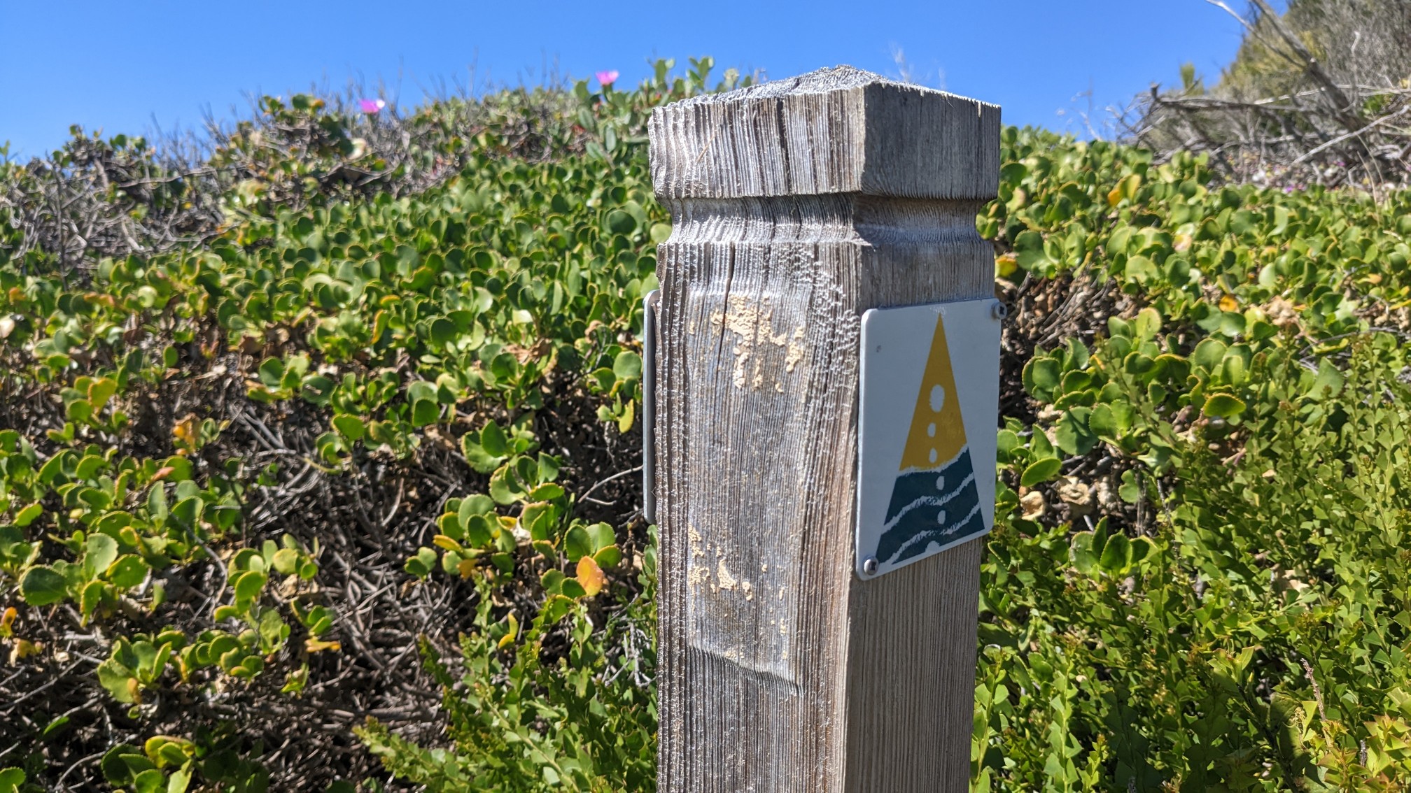
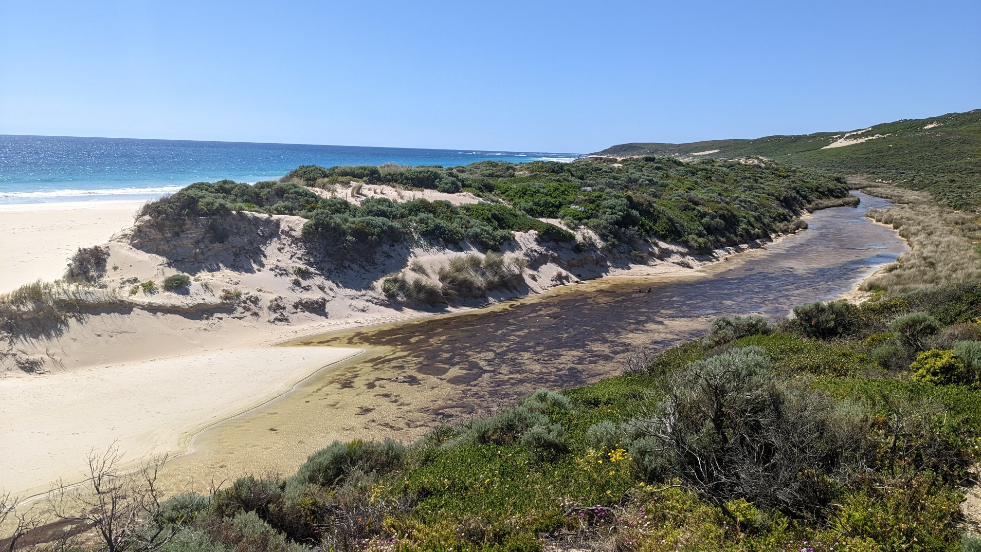
By now I had hiked by hundreds of trail markers and they all looked similar. Weird. I wonder what the pried-off piece used to be. I continued uphill along Boodjidup Creek…
…before crossing it on this very nicely engineered bridge.
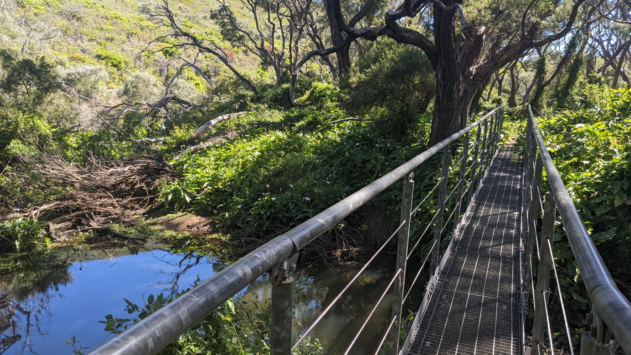
The other side of the creek had a beautiful little green oasis, with a bench and a flat spot that looked perfect for camping.
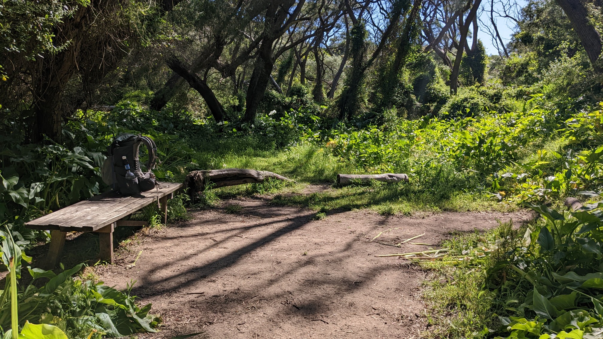
I took the bench as an invitation to have a snack, and then I climbed up 340 stairs to the top of the hill. Even though I had been in the National Park this entire time, I didn’t see a sign for it until now.
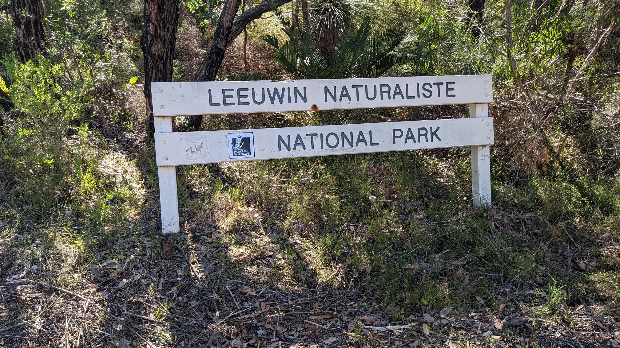
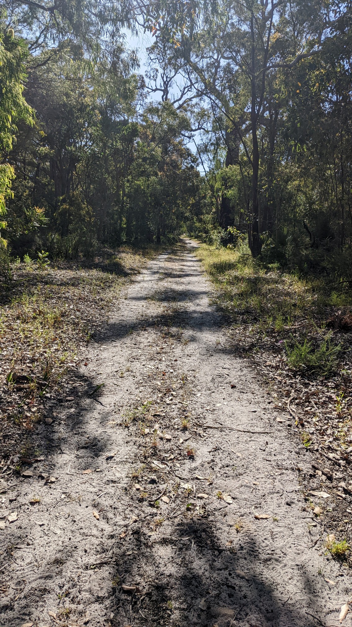
I had a relaxing couple of hours in the afternoon following old roads through forests.
Near the end of the day I came upon the final obstacle, the Margaret River.
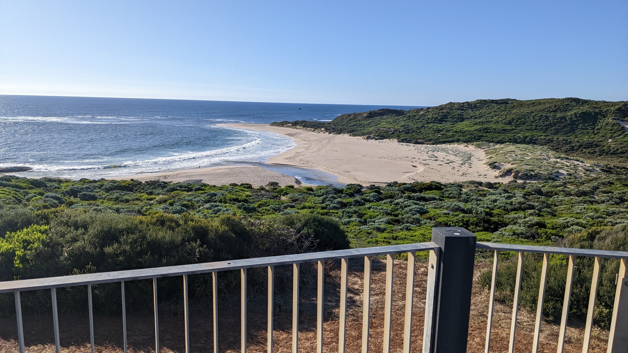
I would have to wade across the river, and supposedly it’s less than knee deep. In winter and early spring it can be quite deep, so there is a detour around this spot. I saw little kids playing in the river, so I knew it was quite shallow. I took off my socks and shoes and easily walked across.
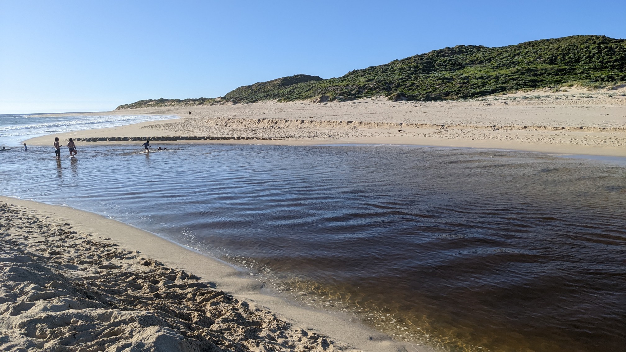
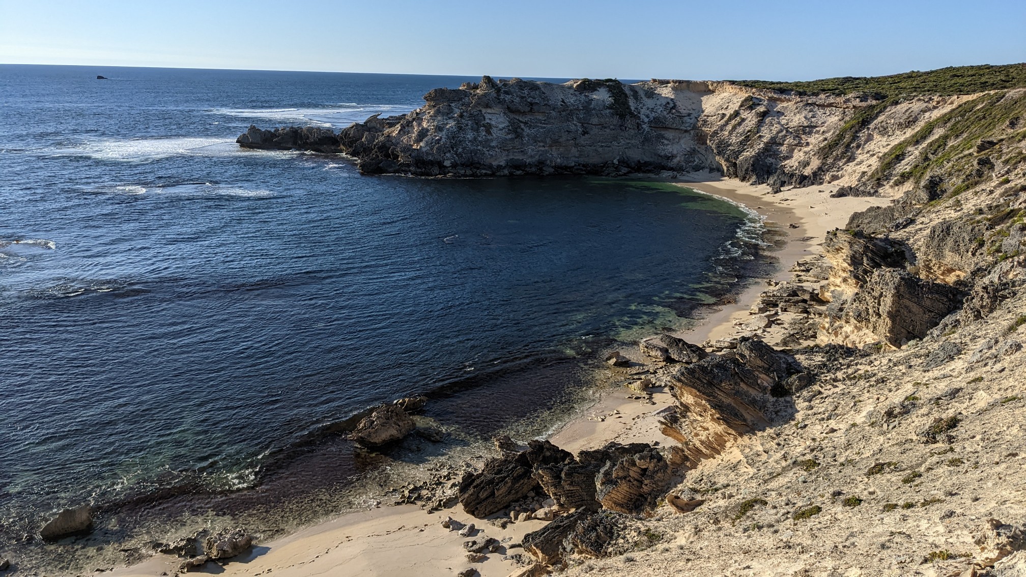
I put my shoes back on and exited the beach back up into the dunes. I walked for another 20 minutes, getting some amazing clifftop views.
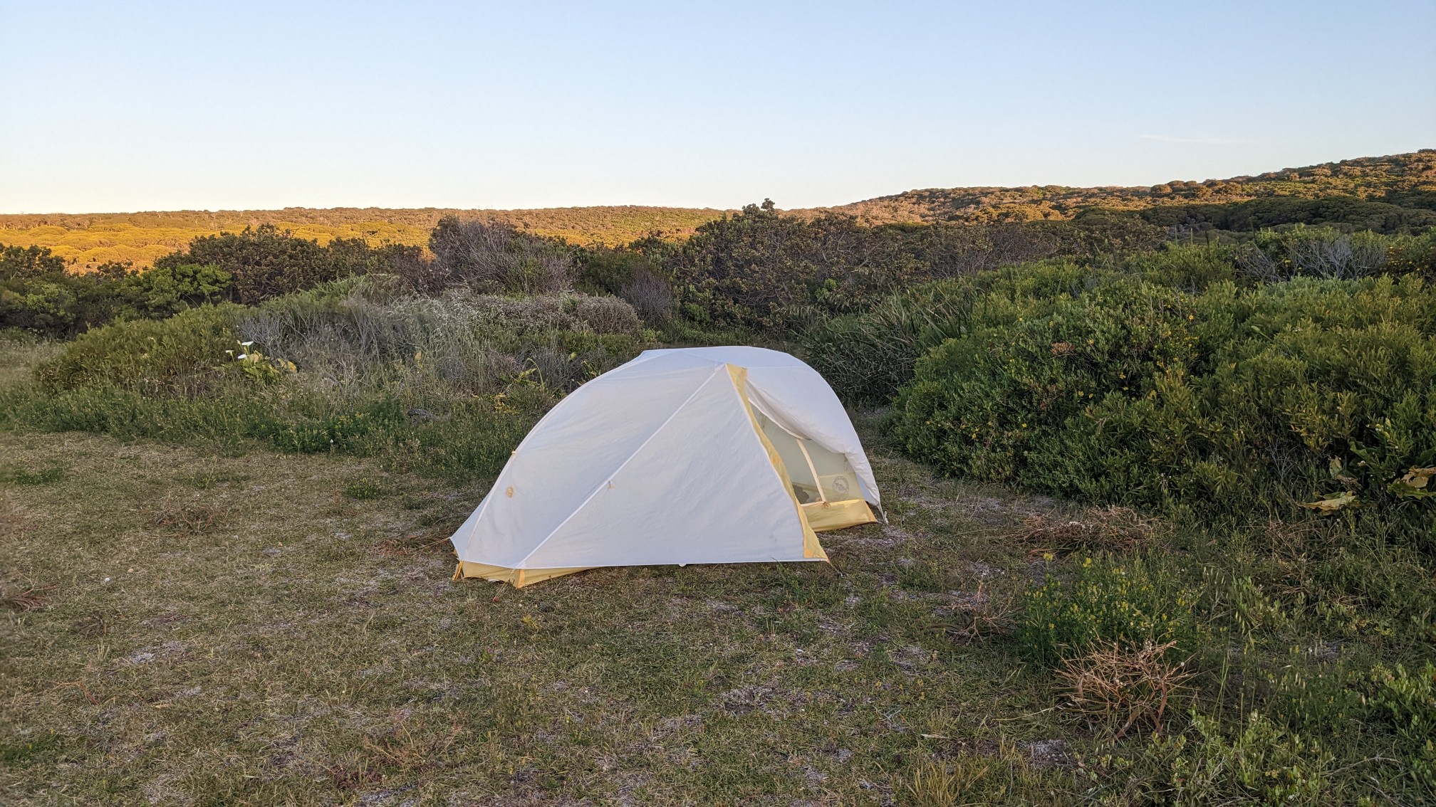
I hit my 30km goal for the day, so I stopped and setup camp in the bushes at the southern entrance to Kilcarnup Beach.
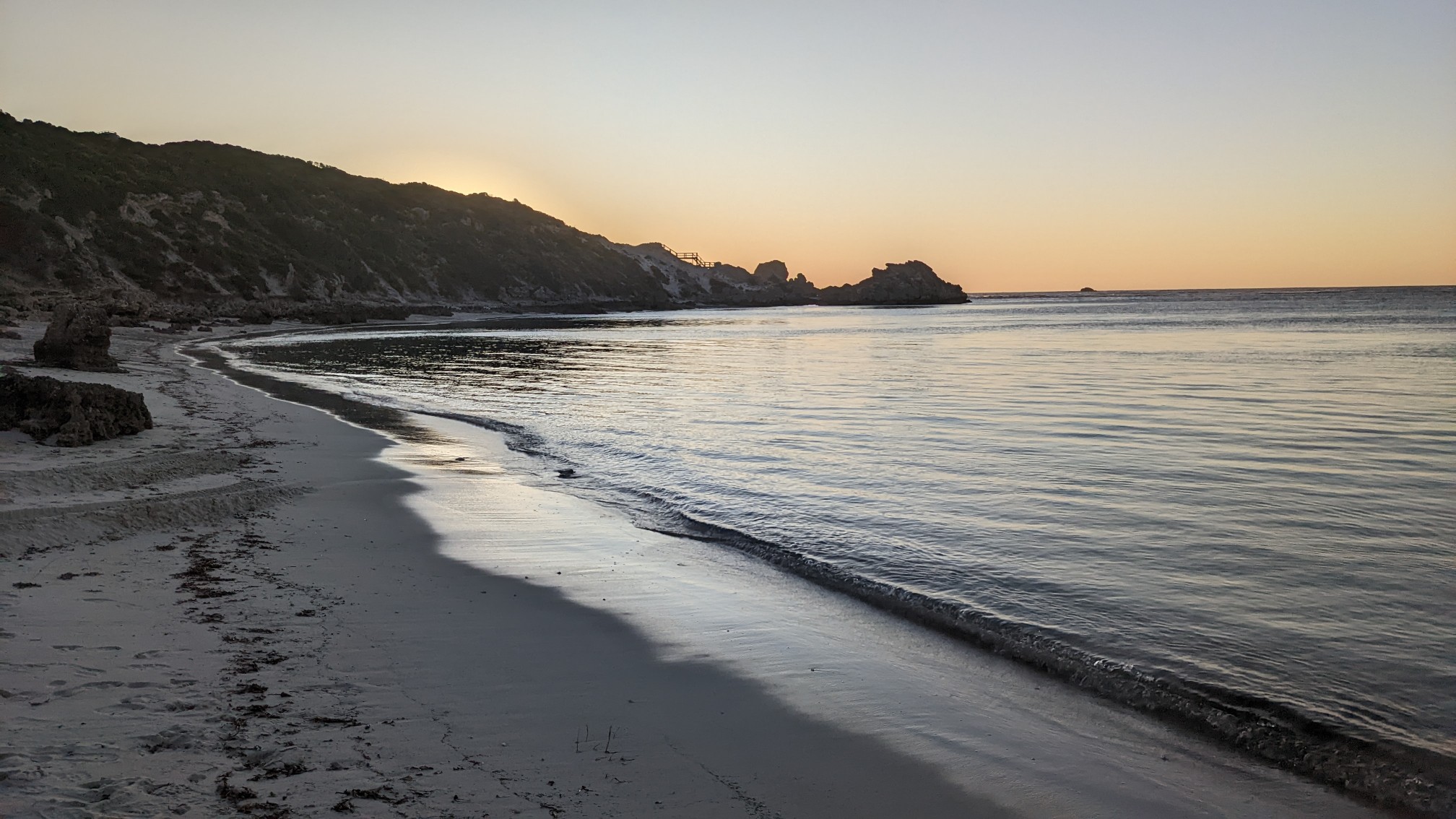
After dinner I walked the short 100m down to the beach itself, to catch the sunset.
Another great day!
Lovely, Recon!! Thanks.
Margaret from Bend
Great photos Jon! Love all these scenic views.