Wednesday November 16, 32.4km/20.1mi
Kilcarnup Beach (64.6/13m) to 1km N of Quininup Beach exit (97.0/23m) (WA)
I packed up a wet tent (condensation) and hiked down to the beach at 6:45am. There was a neat fog over the hillsides.
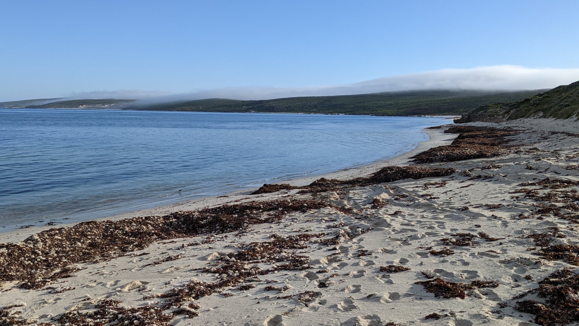
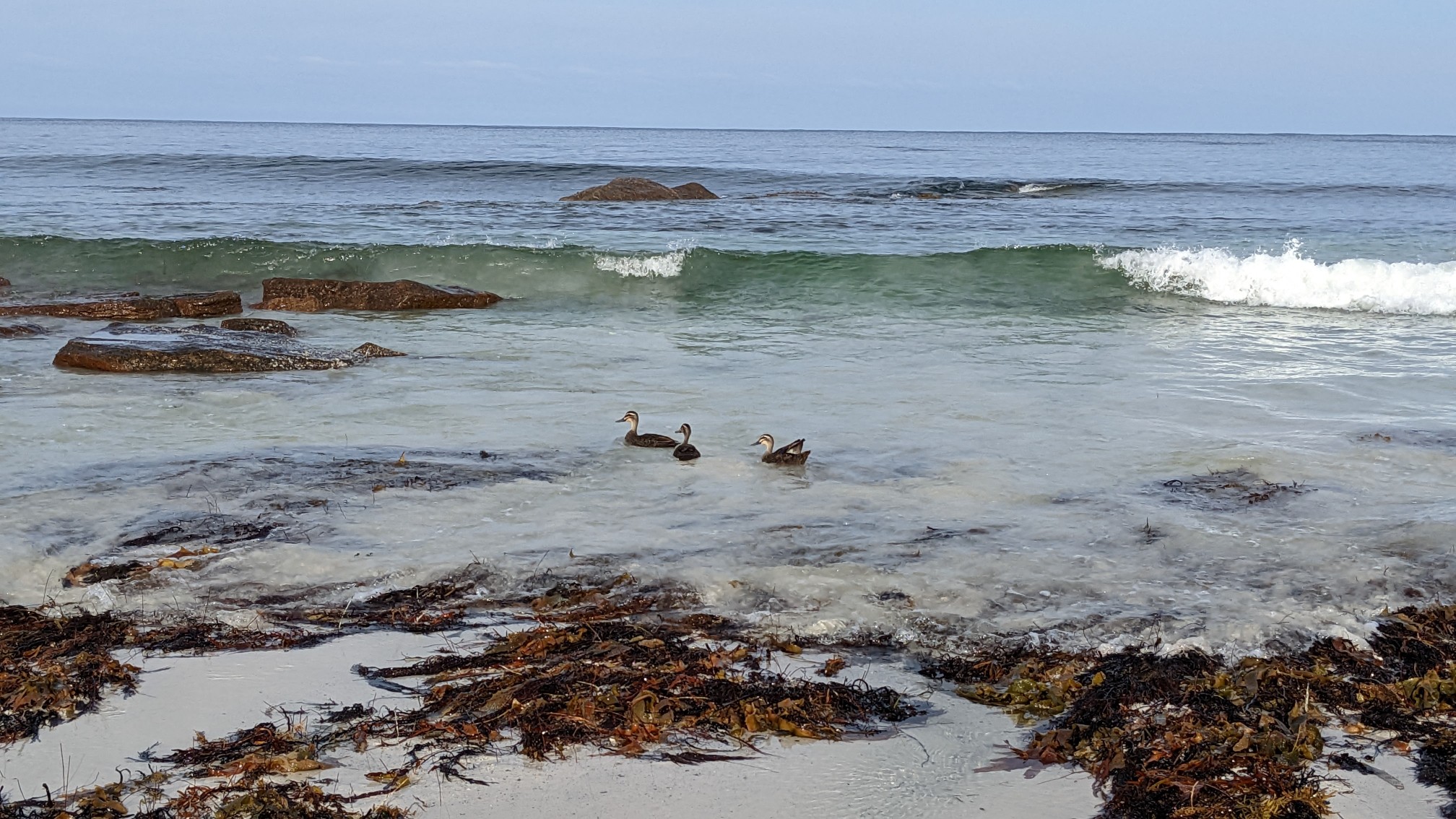
I was only on Kilcarnup Beach for 1km, but I saw tons of birds. Seagulls, Cockatoos, Wrens, and lots of vociferous ducks.
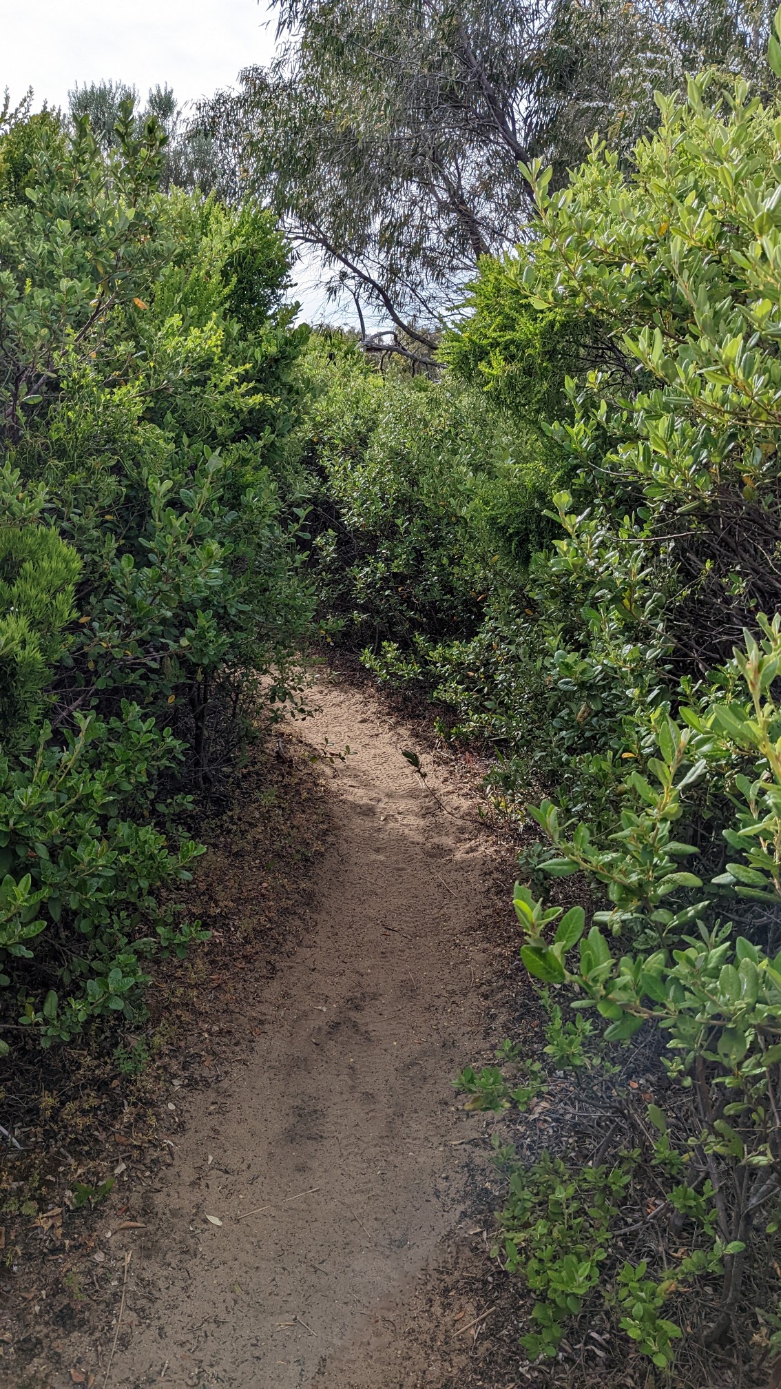
After leaving the beach, the trail spent the next 2 hours weaving thru the coastal bushland. Most of the time it was quite overgrown and I was hiking in a scratchy green tunnel.
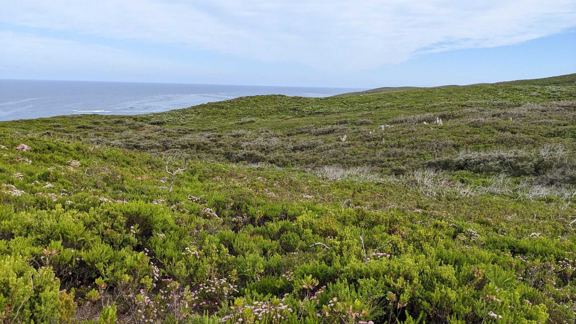
When I had a view, I could still see the sea, as I never got too far from the coast.
At 9am I arrived at Ellensbrook camp, where I refilled my water and sat on the ground to take a break.
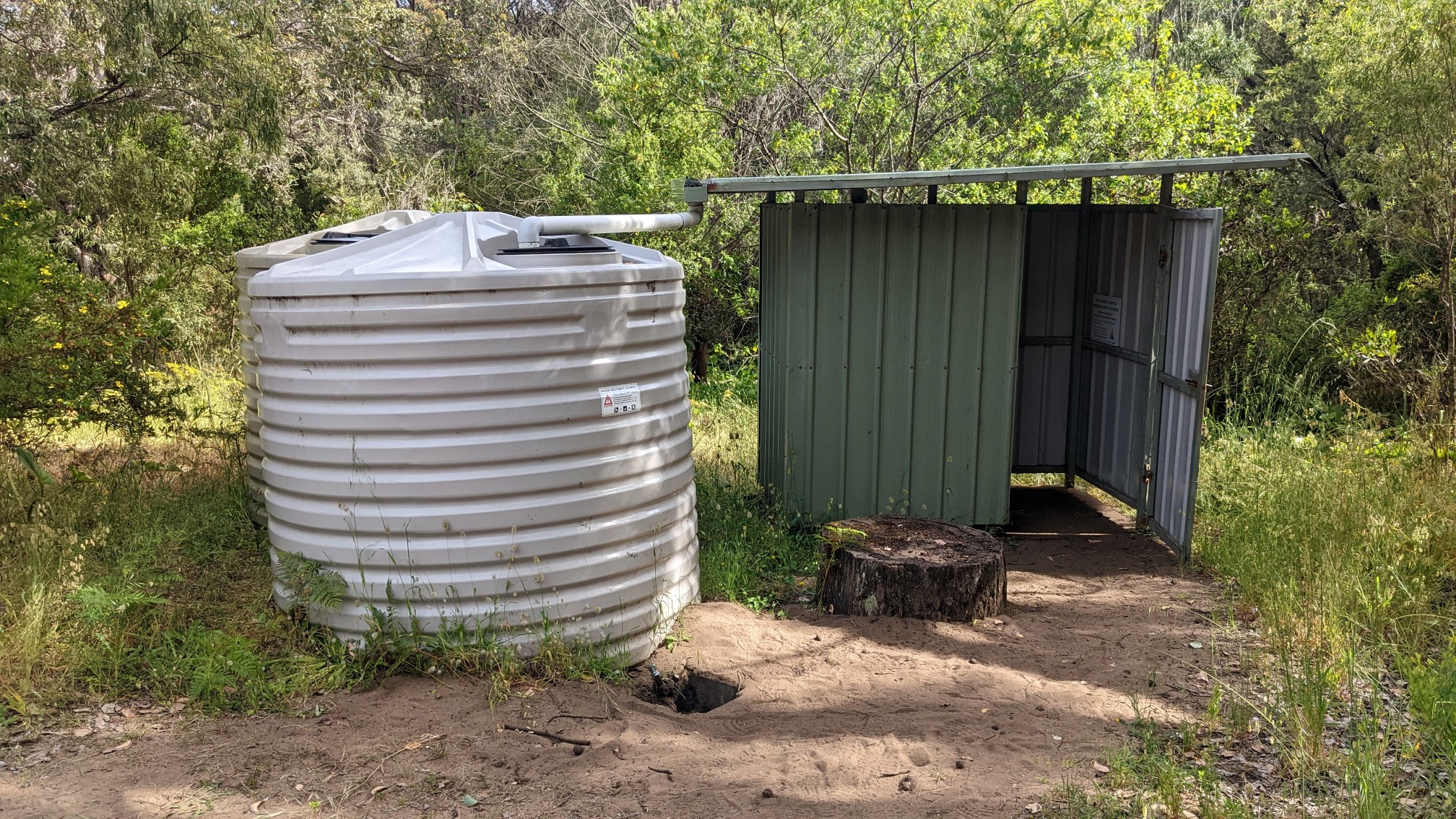
Like the previous campsite, there was no shelter or tables to rest at, so I just sat on the ground. This trail seems much more popular than the Bibbulmun or Larapinta, yet the camping infrastructure seeing the lacking. There’s also only 4 campsites, and they are spaced at weird intervals, probably why I haven’t camped at one yet. A few minutes after I left the campsite, I passed by Meekadarribee Falls.
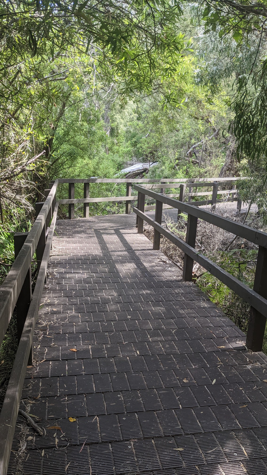
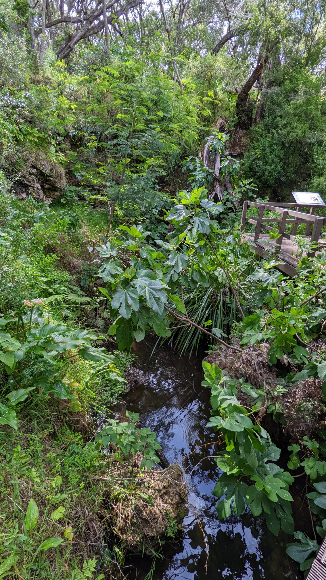
There wasn’t much to see, but it had a neat origin story from the local people. The word means “bathing place of the moon”. Another kilometer down the trail, I came to the Ellensbrook heritage site.
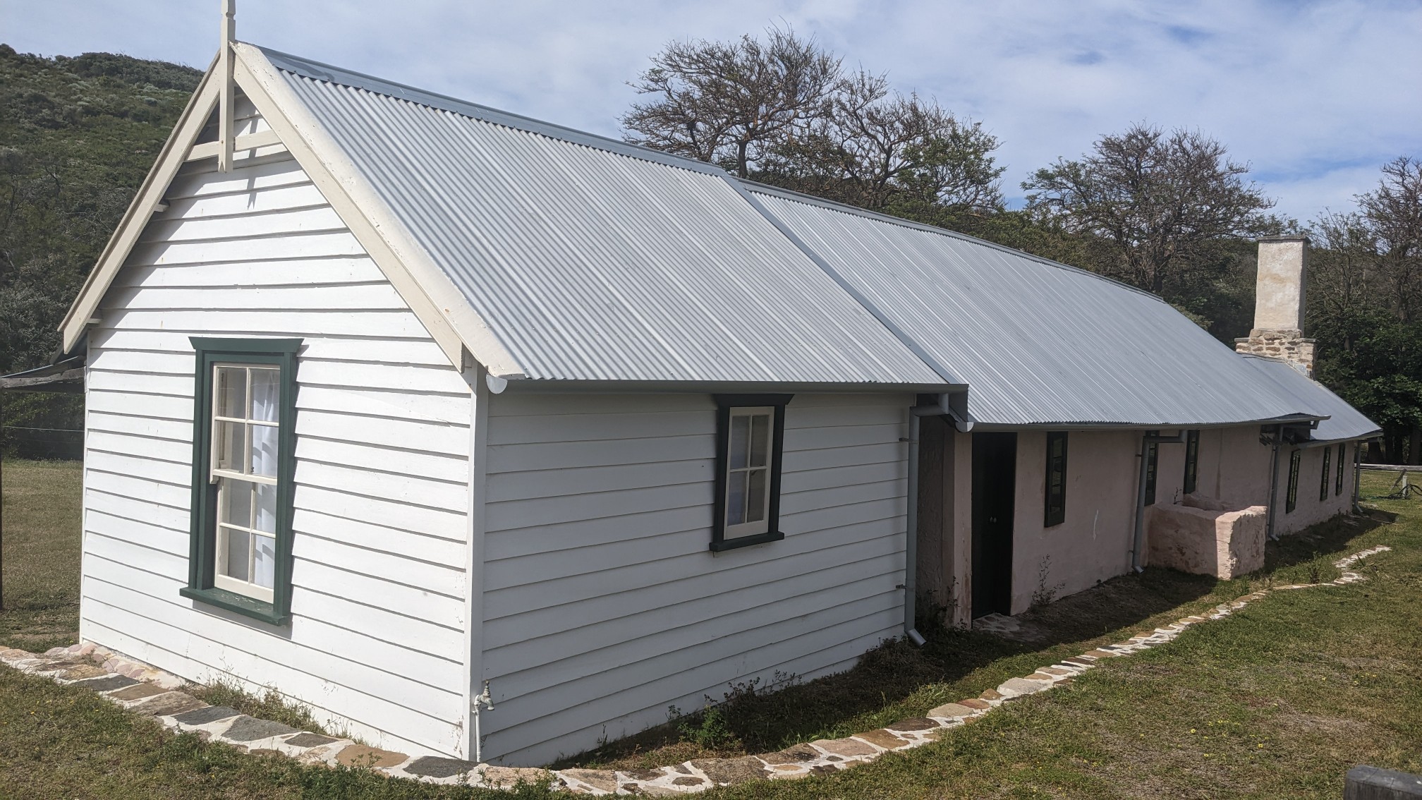
I didn’t pay the $10 to go inside and get all the details, but it was built in 1857 for/by one of the first European families to settle in this area. After leaving that tourist area, I was back next to the sea.
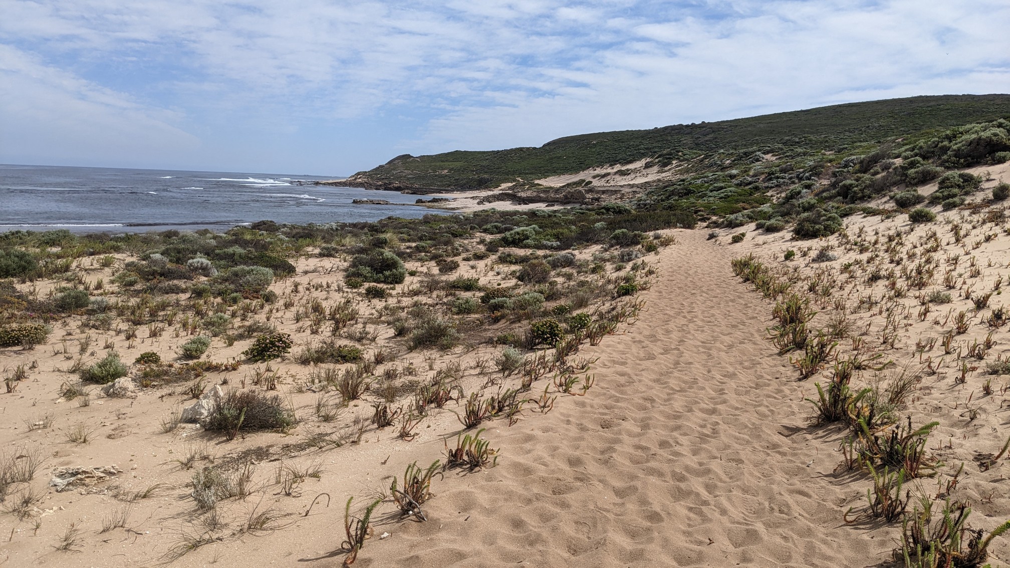
This coast is a very popular surfing area, and a bunch of these little bays have nicknames, like “umbies” and “lefties”.
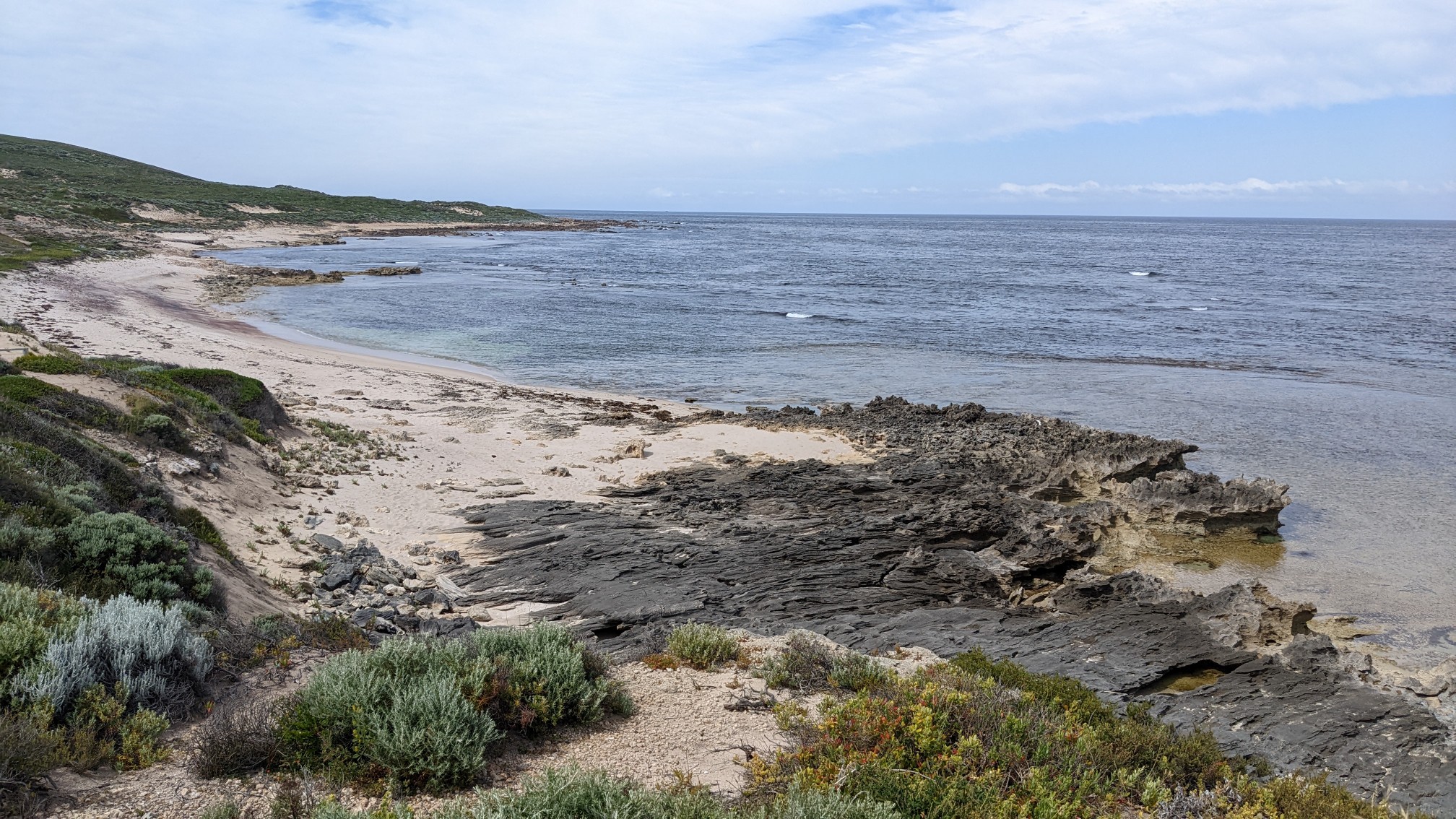
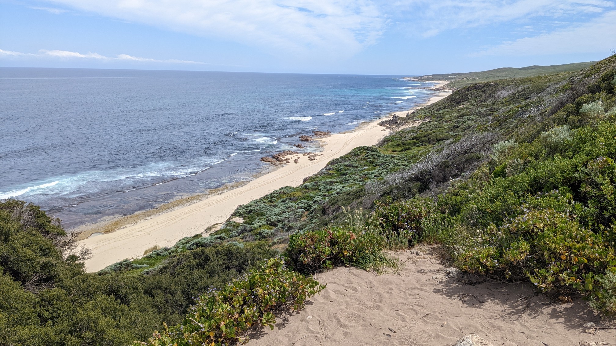
There were also a few memorials along the trail this morning to various local surfers who had died doing what they loved.
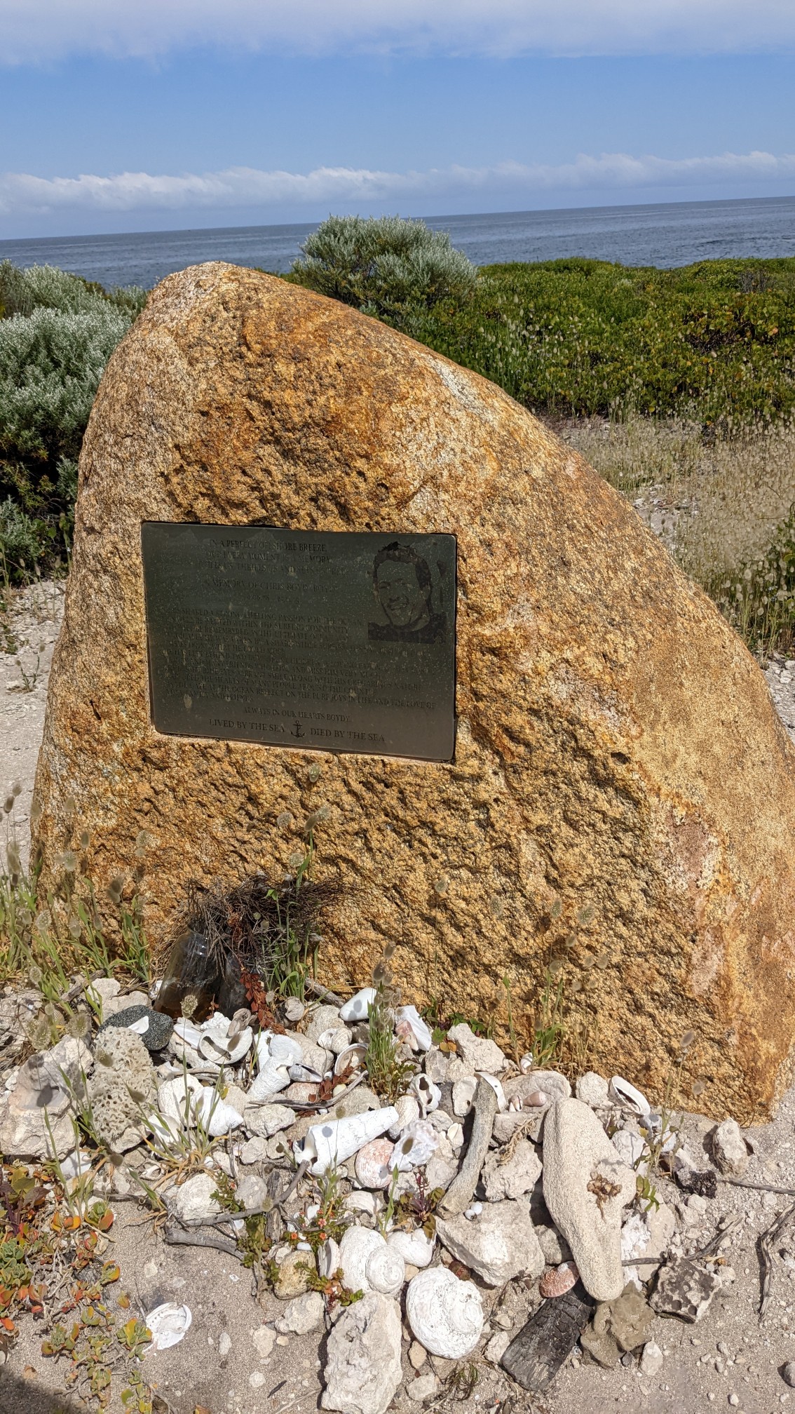
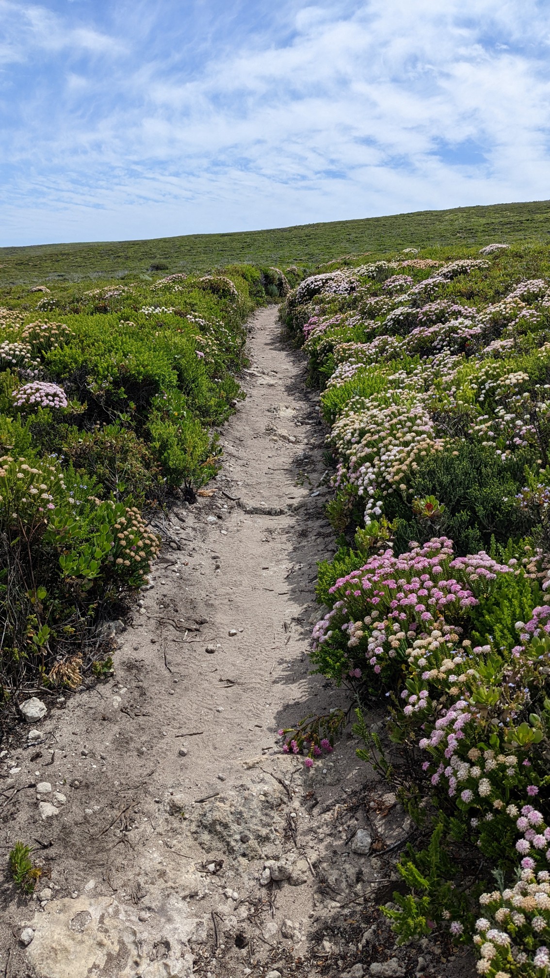
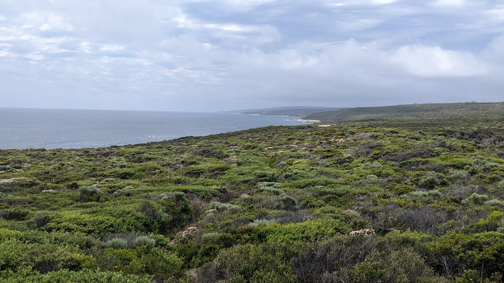
This view is what most of my day looked like, hiking on a cliff above the sea through bushes and wildflowers.
I came around a corner to find this lizard running directly at me, as a hiker walking towards me scared him down the path. Now he was trapped in the middle! I think it’s a Monitor.
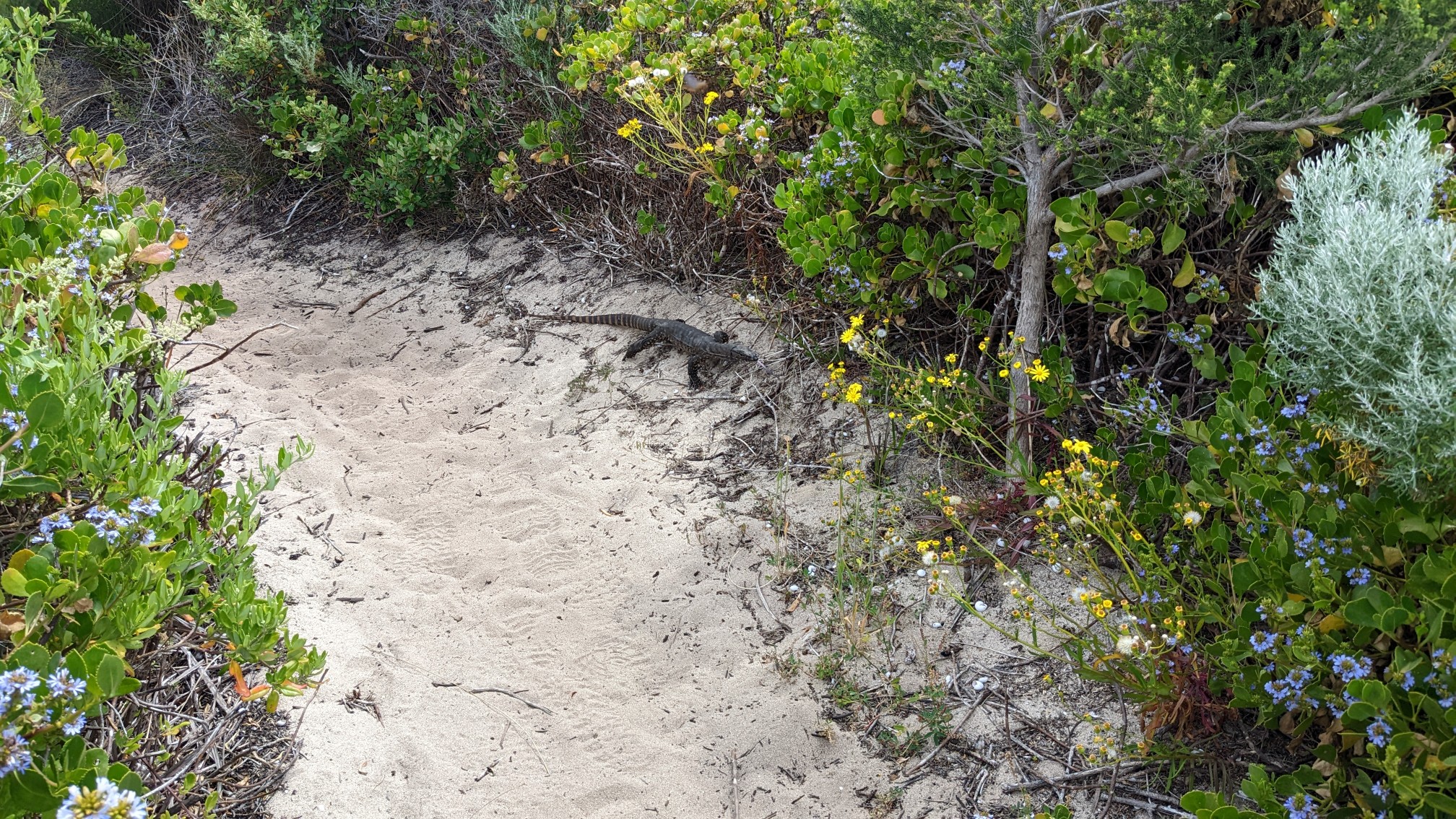
He scurried off the side of the trail, and both of us humans had a good laugh.
More wildflowers by the sea.
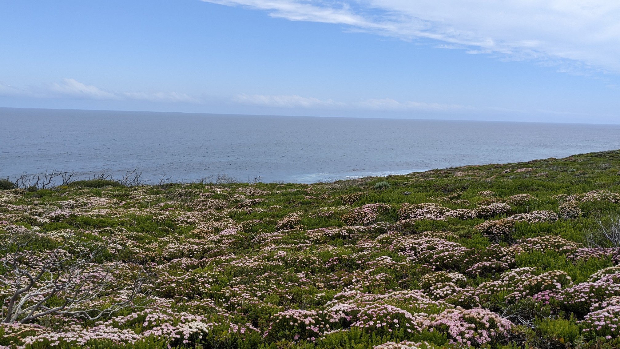
Sea views all morning!
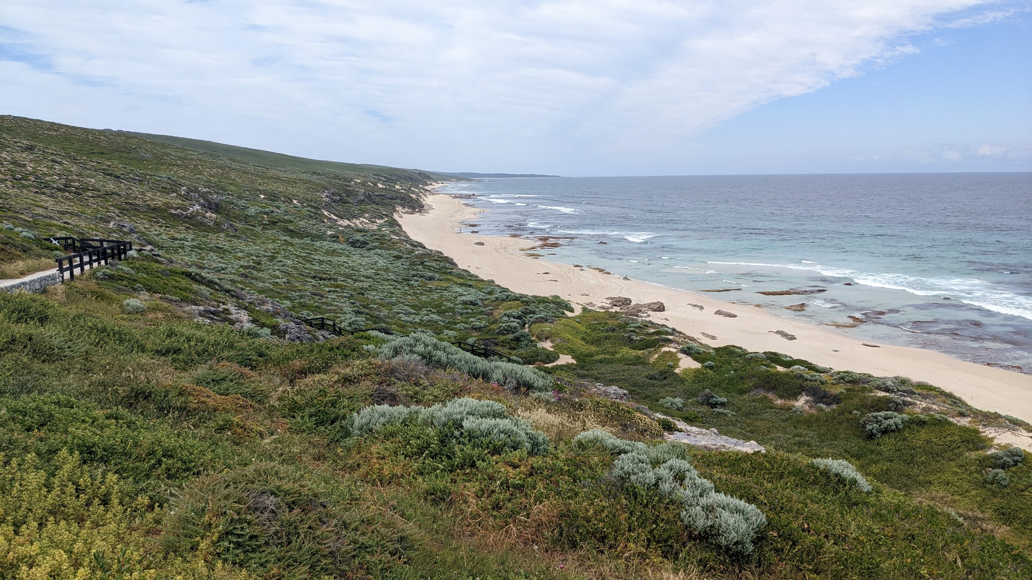
At 11:30, I came to the tiny village of Gracetown, and I stopped at the general store for a snack.
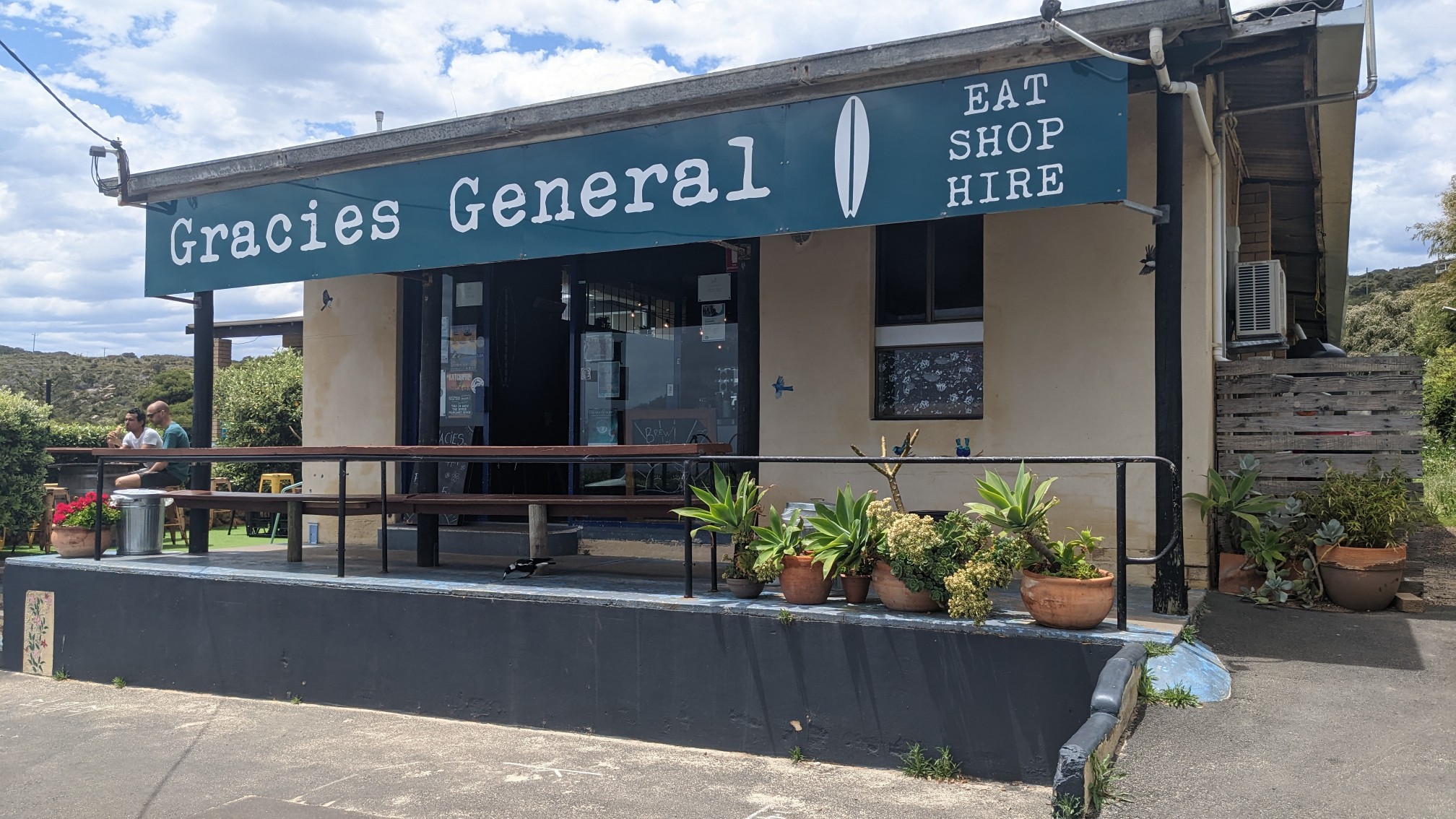
A breakfast burrito counts as a snack right?
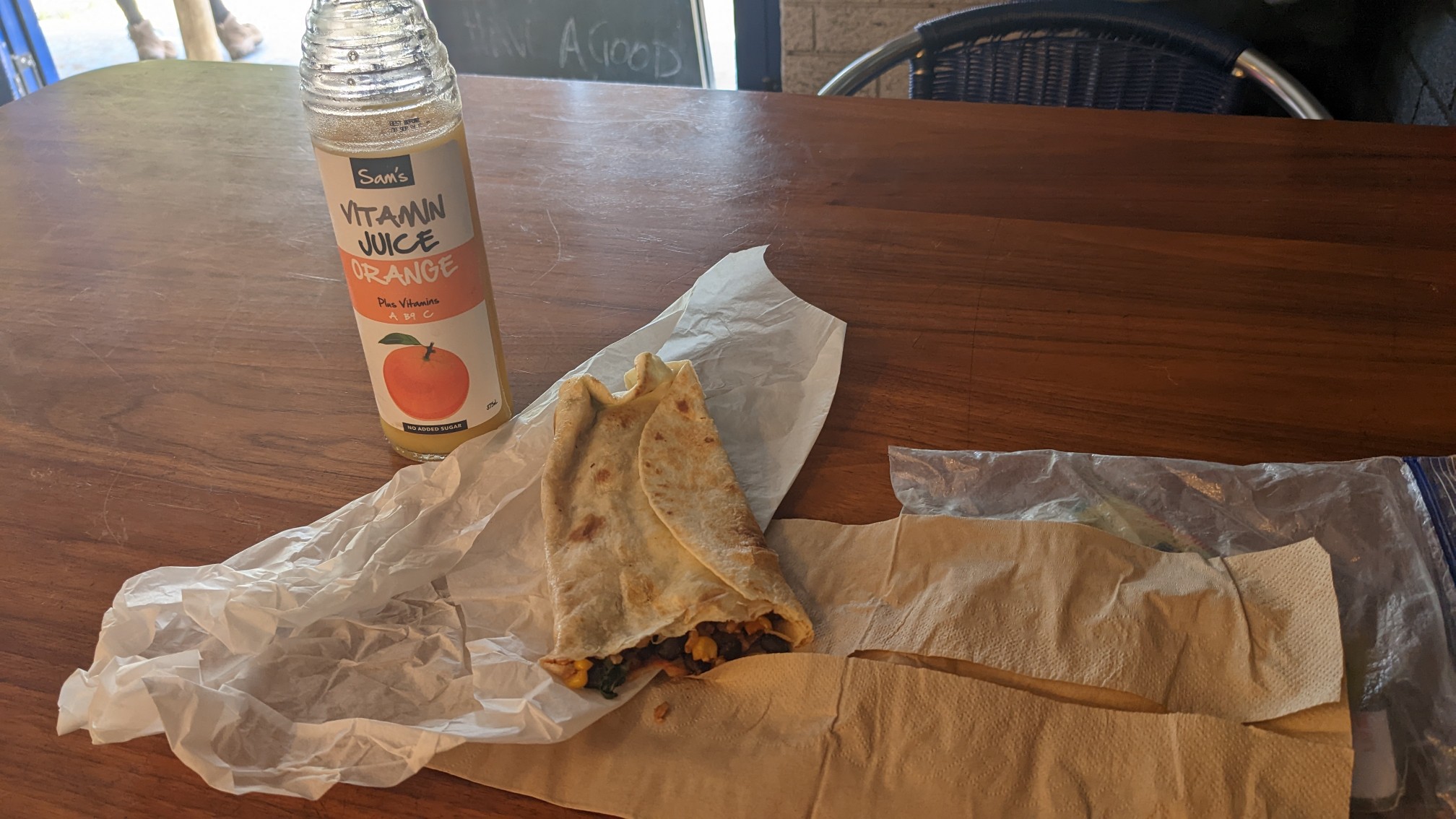
After 30 minutes of eating and charging my phone, I continued on. The trail was a little difficult to follow through the cliffs outside of town, as there was a maze of intersecting trails made by locals. Eventually I got back up on the ridge above the sea.
After a couple of hours I passed by the Wilyabrup cliffs, where I saw a group of people packing up a rope.
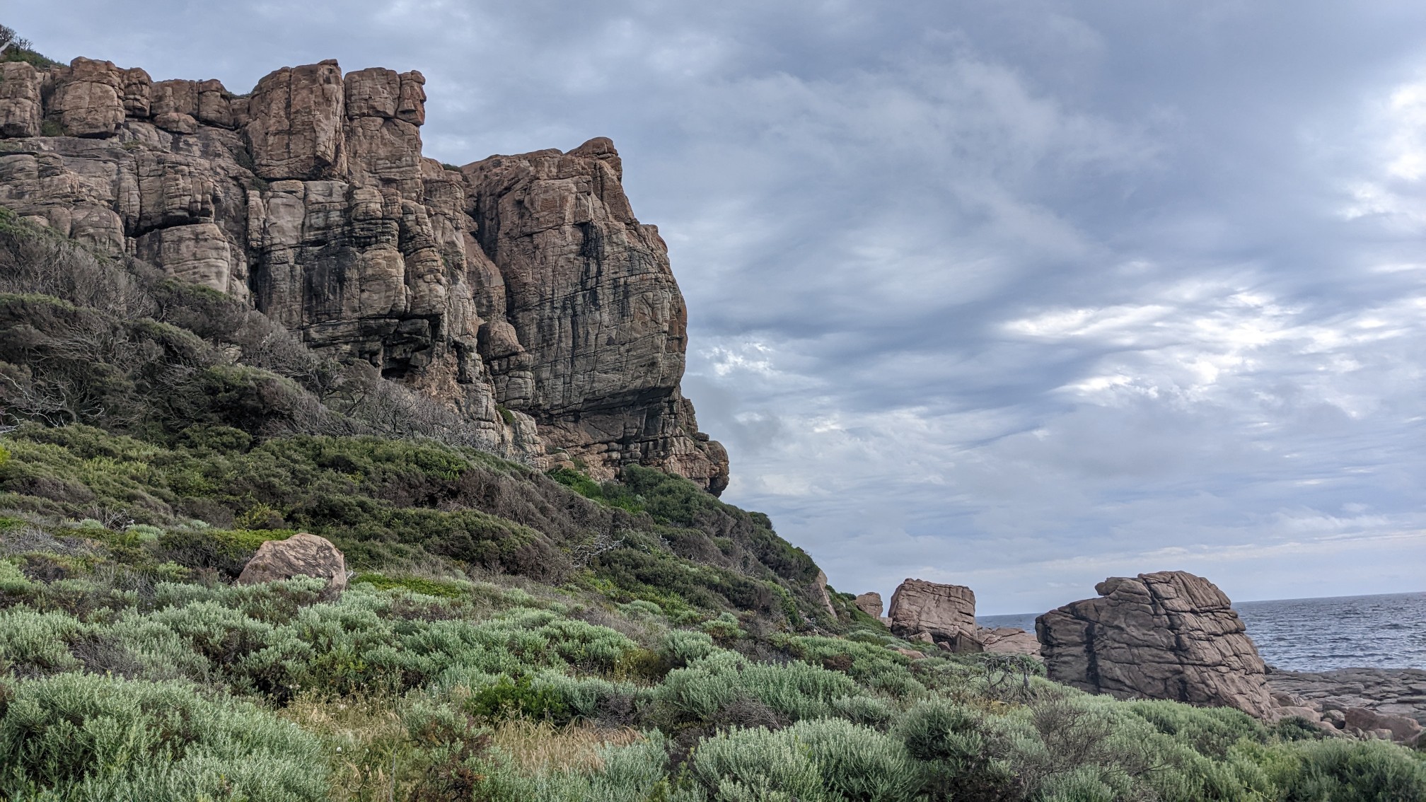
I wonder if there is climbing here?! That would be cool. The saunter above the sea continued.
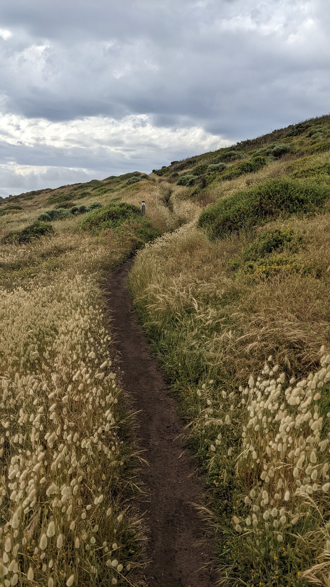
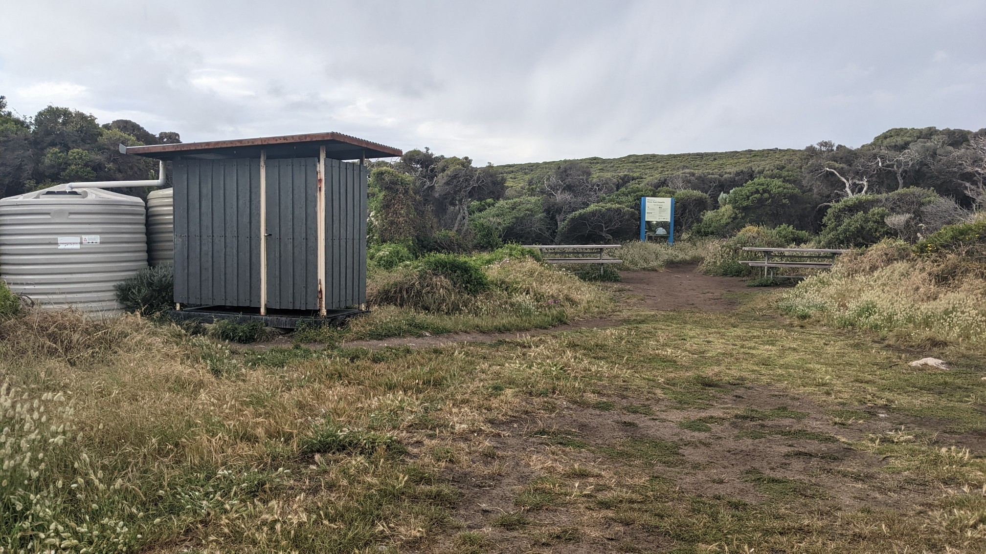
I arrived to the Moses Rock campsite at 3:30 and refilled my water bottle.
Unfortunately, the water tank did not contain just water. It was a medium brown color, gross.
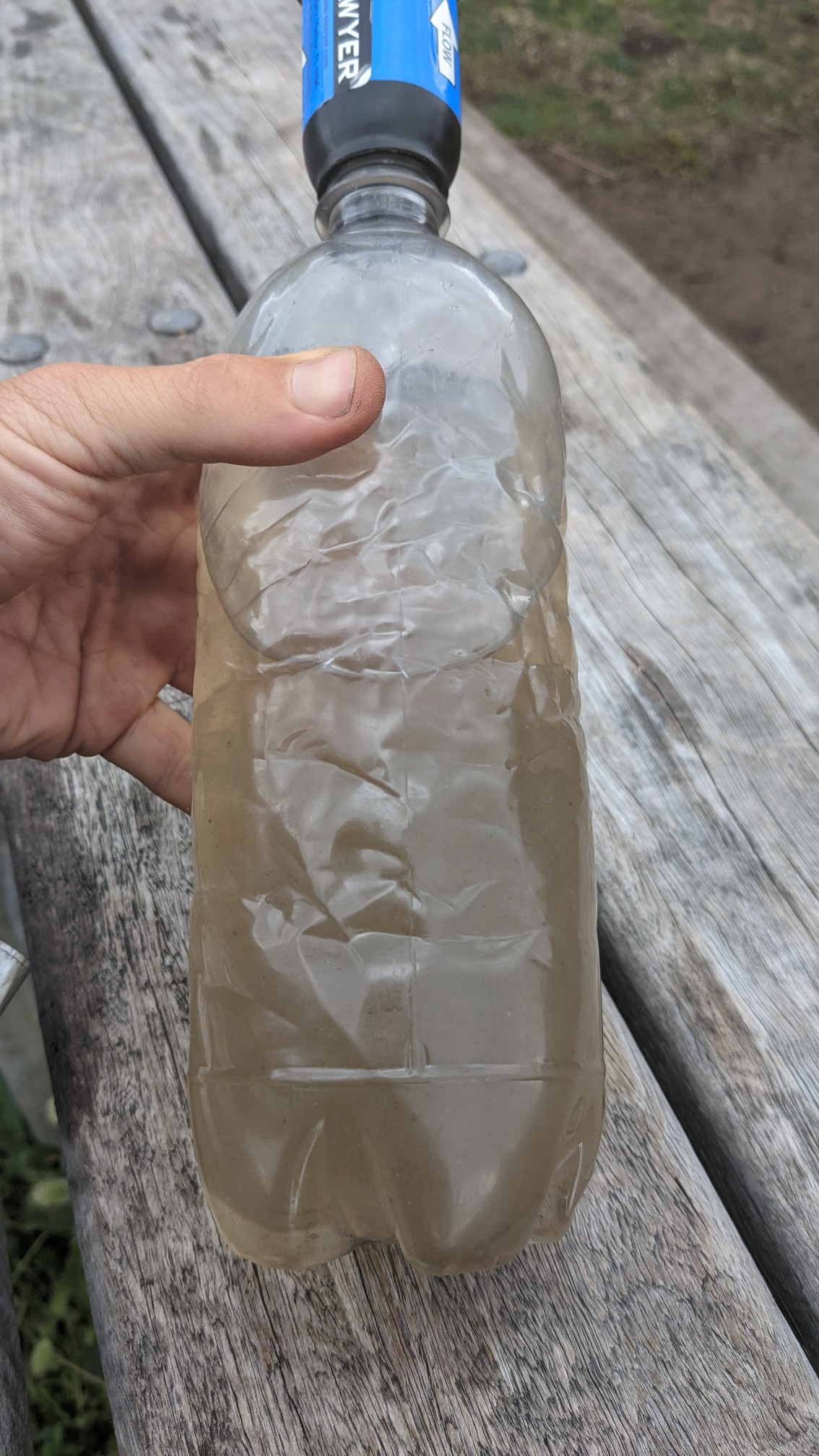
This was very strange, as I have used dozens of these tanks along the other trails in Australia and have always had clean water. I decided to continue hiking, as there was a waterfall another hour north of the campsite. As I was leaving, a southbound hiker had just arrived and we exchanged trail information for a little while. I left the nice campsite and hiked into the stormy afternoon. There were little viewpoints built every kilometer or so, and I could see the approaching clouds.
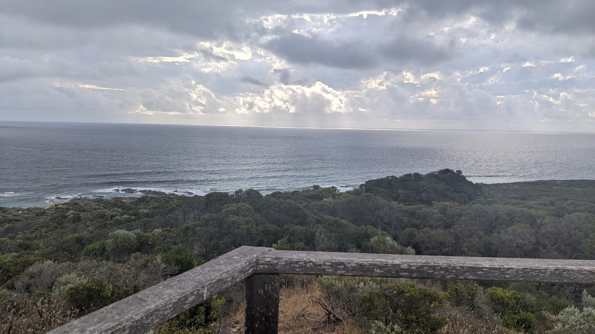
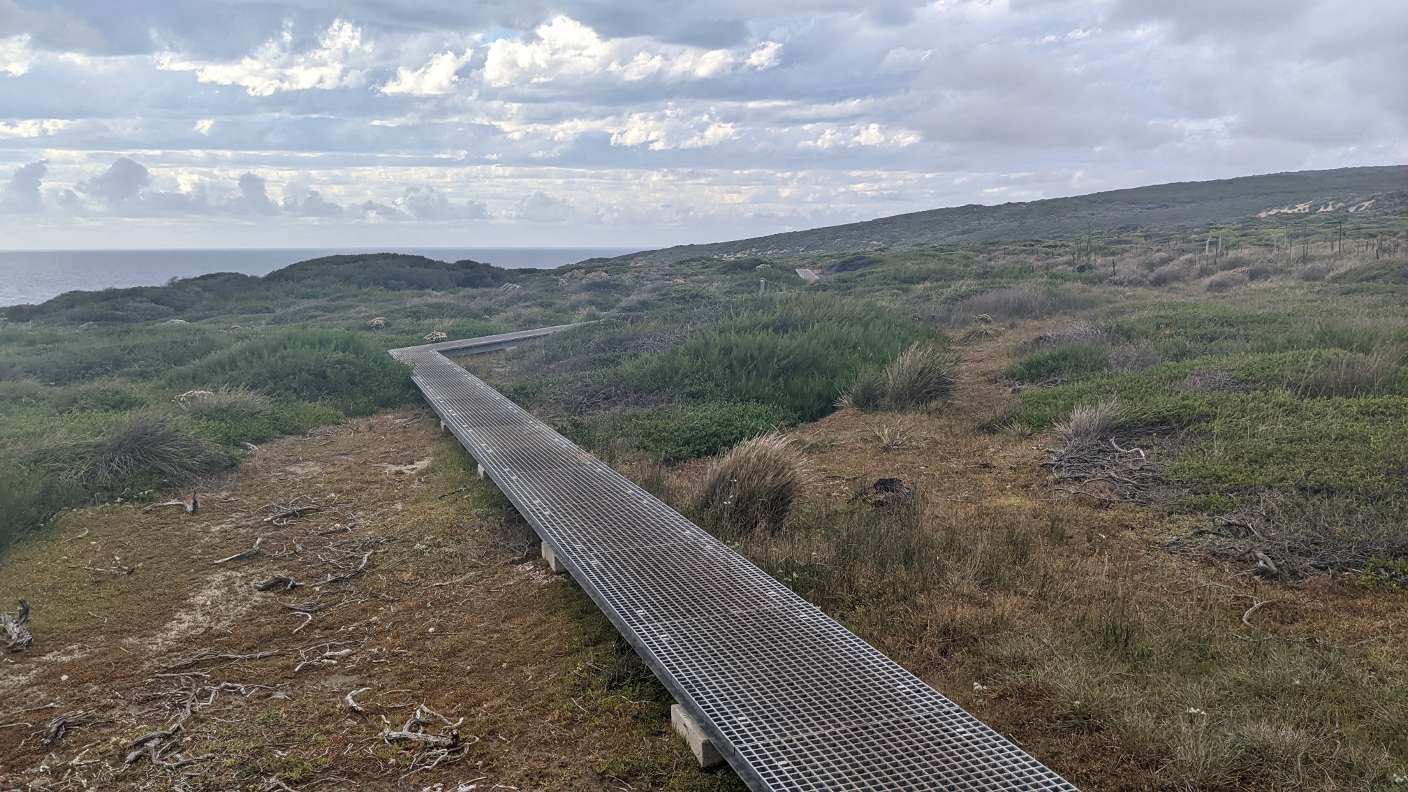
The little rainclouds were scattered and very intermittent, so I was able to mostly dodge any moisture. This section of trail was better built, and there was a nice elevated walking platform through the swampy areas.
When I got to the trail junction for the waterfall, I hiked the 300m side trail thru soft sand to Quininup Falls.
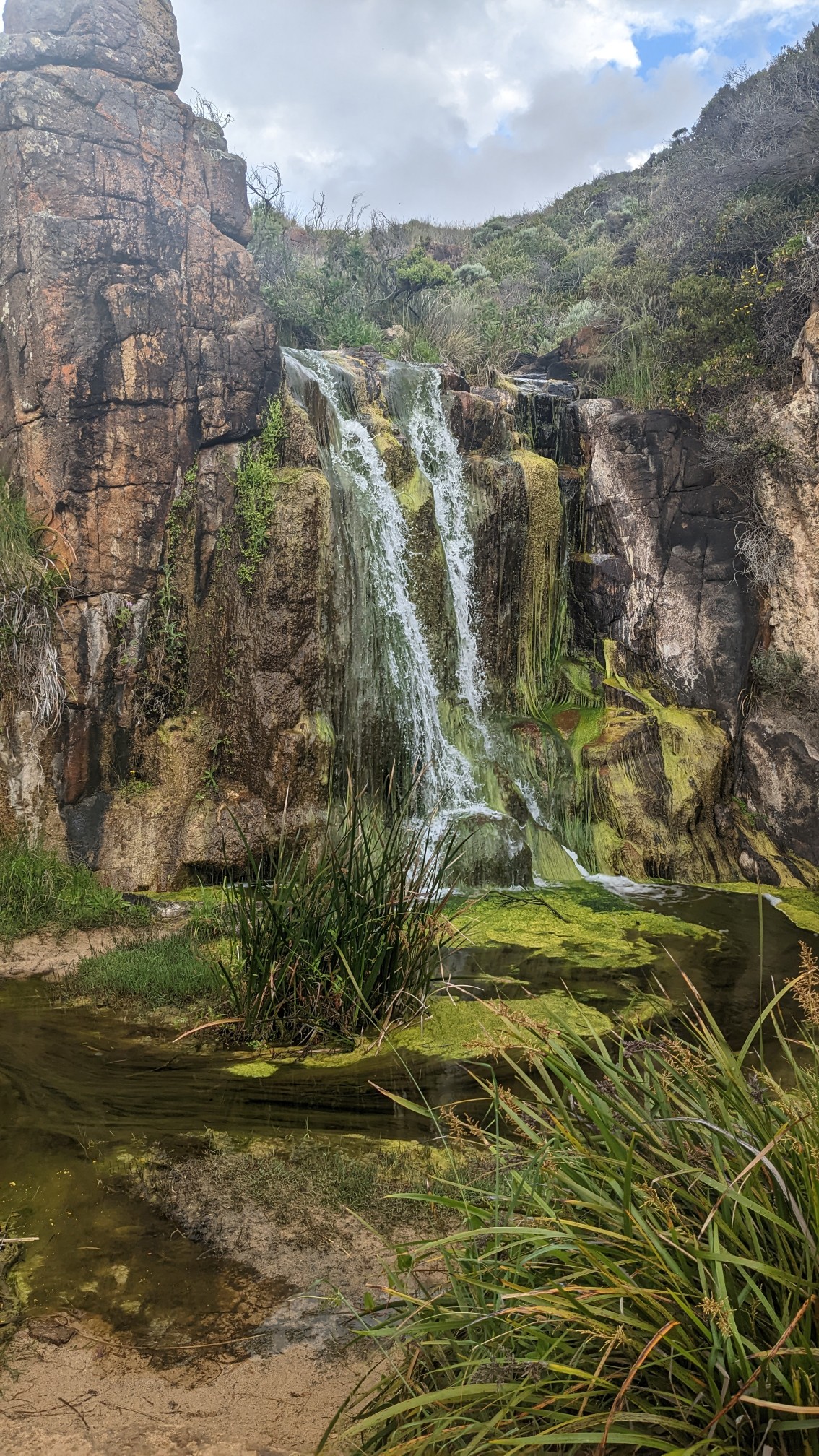
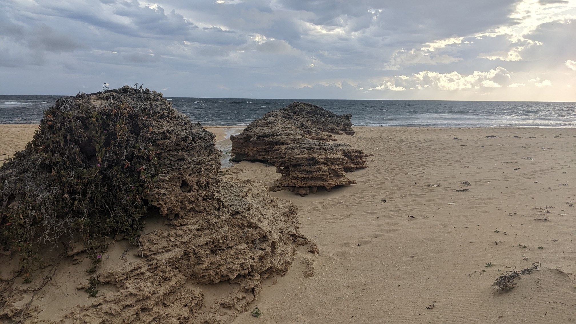
I’m glad I made the side trip, hiking in soft sand is such a pain but it was a peaceful little spot and I was able to refill my water bottles with cold & clean water. I re-joined the main trail at the beach, near these cool rock formations.
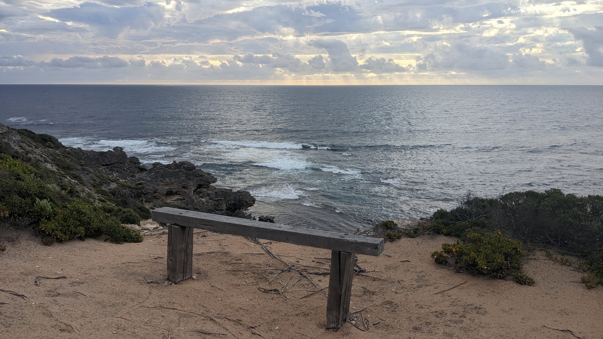
I hiked another kilometer, back uphill into the bushes. It was 5:30 and now that I had my water, I was ready to find a campsite. There were plenty of little viewpoints that were flat, but unfortunately were very windy.
I found a nice sheltered campsite a few minutes later. It’s quite sheltered, it’s kinda hard to spot the tent!
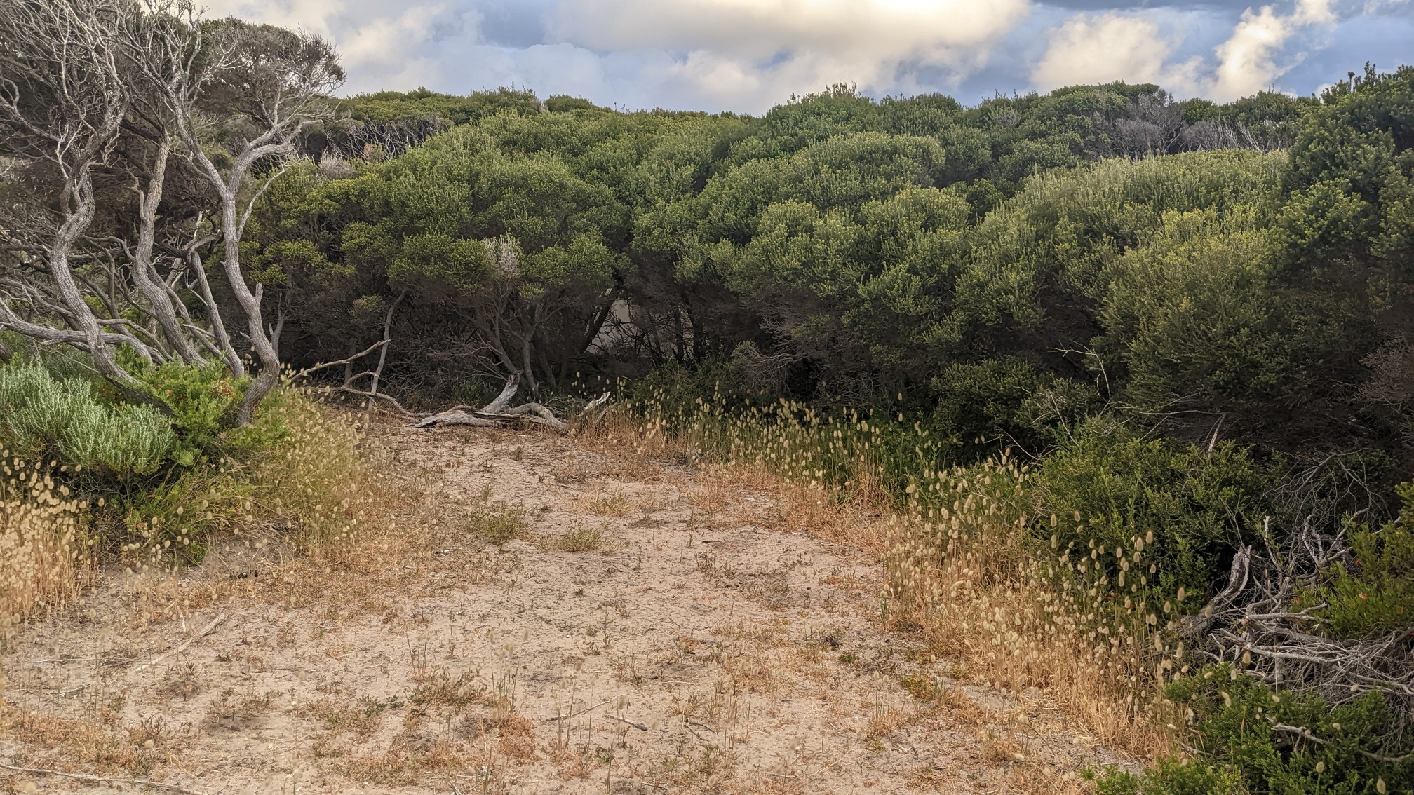
A closer view.
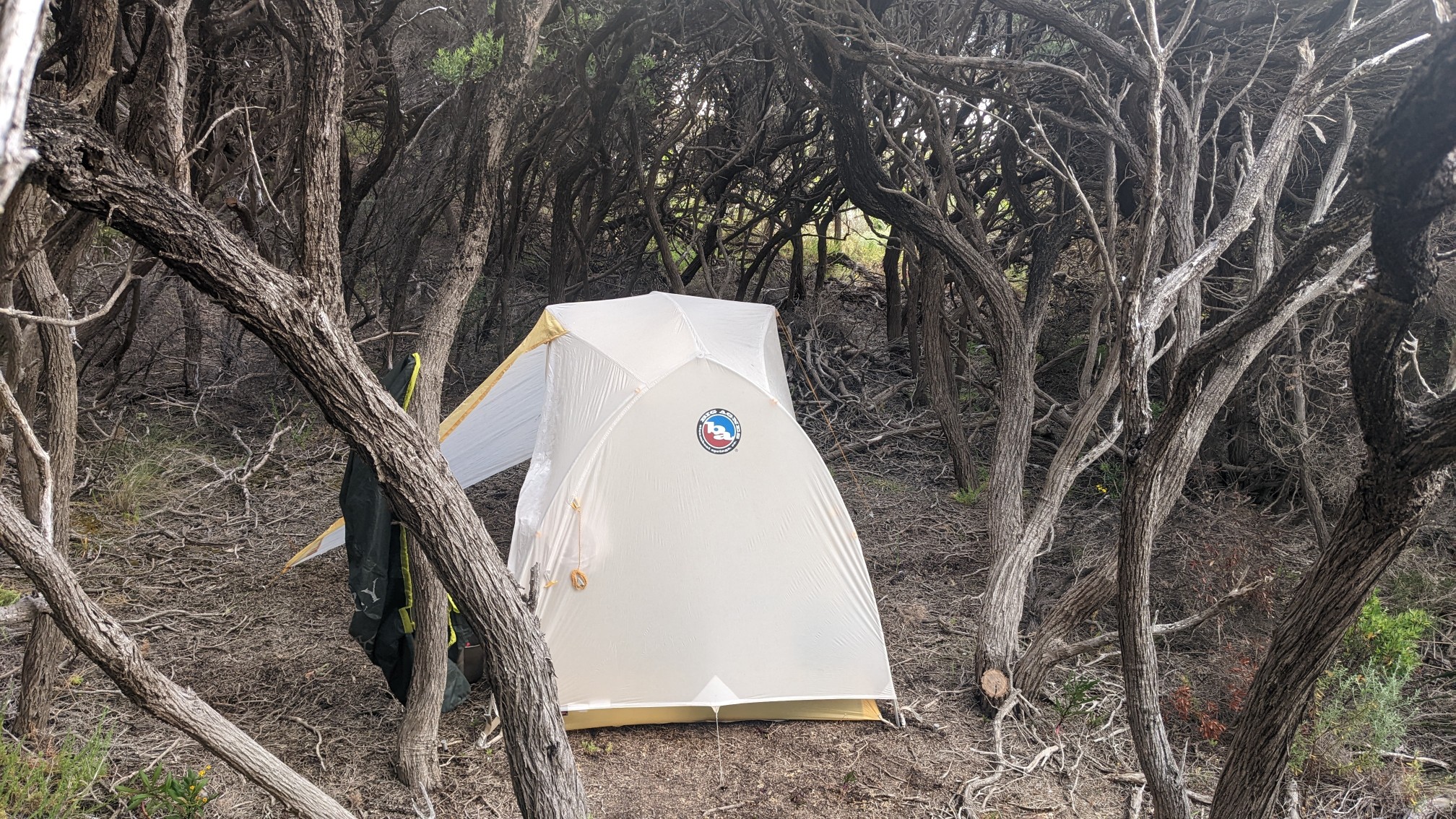
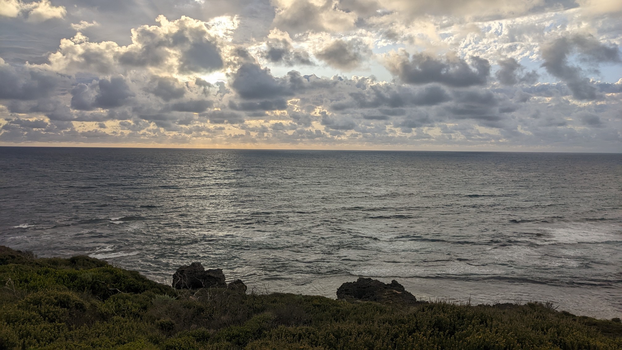
I got my tent setup quickly, before any rainclouds decided to come over and visit. Then I wandered over to a viewpoint to watch the setting sun.
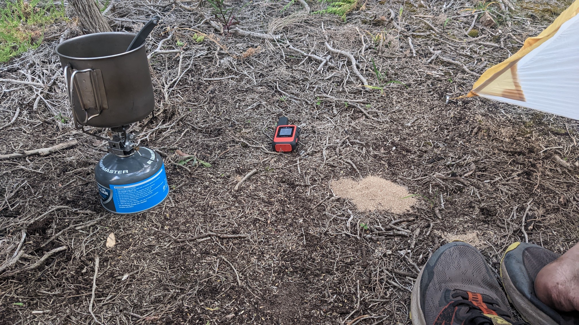
Back in my tent I was doing my evening ritual of cleaning up and changing into my sleeping clothes. My shoes and socks were so full of sand, I was able to dump them out and make a small pile!
By the time I finished eating dinner and writing my journal, it was dark and time for bed. Tomorrow is the last day of this trail!
Australia sure has a variety of interesting landscapes!
Pristine ocean view hiking trail. Very cool!