Friday November 25, 22.9km/14.2mi
New Pelion Hut (32.7/863m) to Bert Nichols Hut (50.4/891m) (TAS) + 3.6 Mt Ossa + 1.6 Hartnett Falls
The day started off with a surprise as I wandered into the dining room for breakfast…a real polaroid camera!
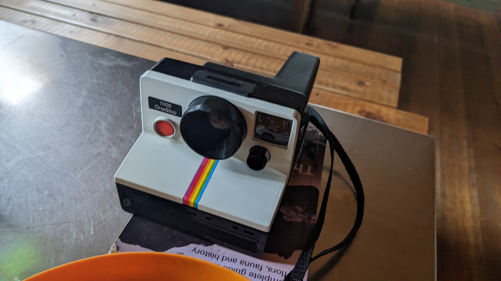
The owner is a guy from Wellington (NZ) who is using it for his hike, he said he wanted instant photos, ha! I packed up and left the hut just before 8am, and started up the long gradual 4km climb up to Pelion Gap. It was mostly thru forest and moss.
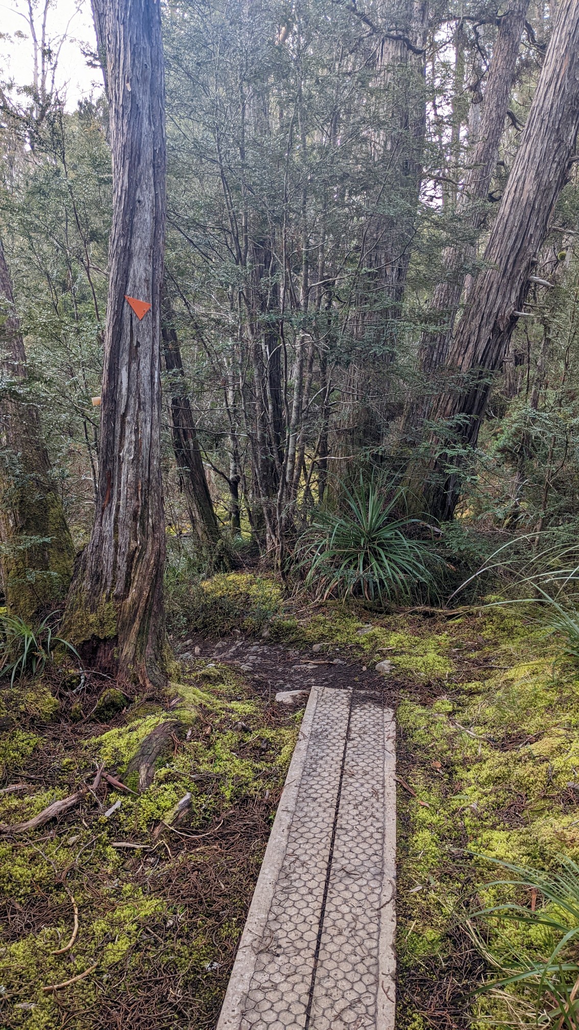
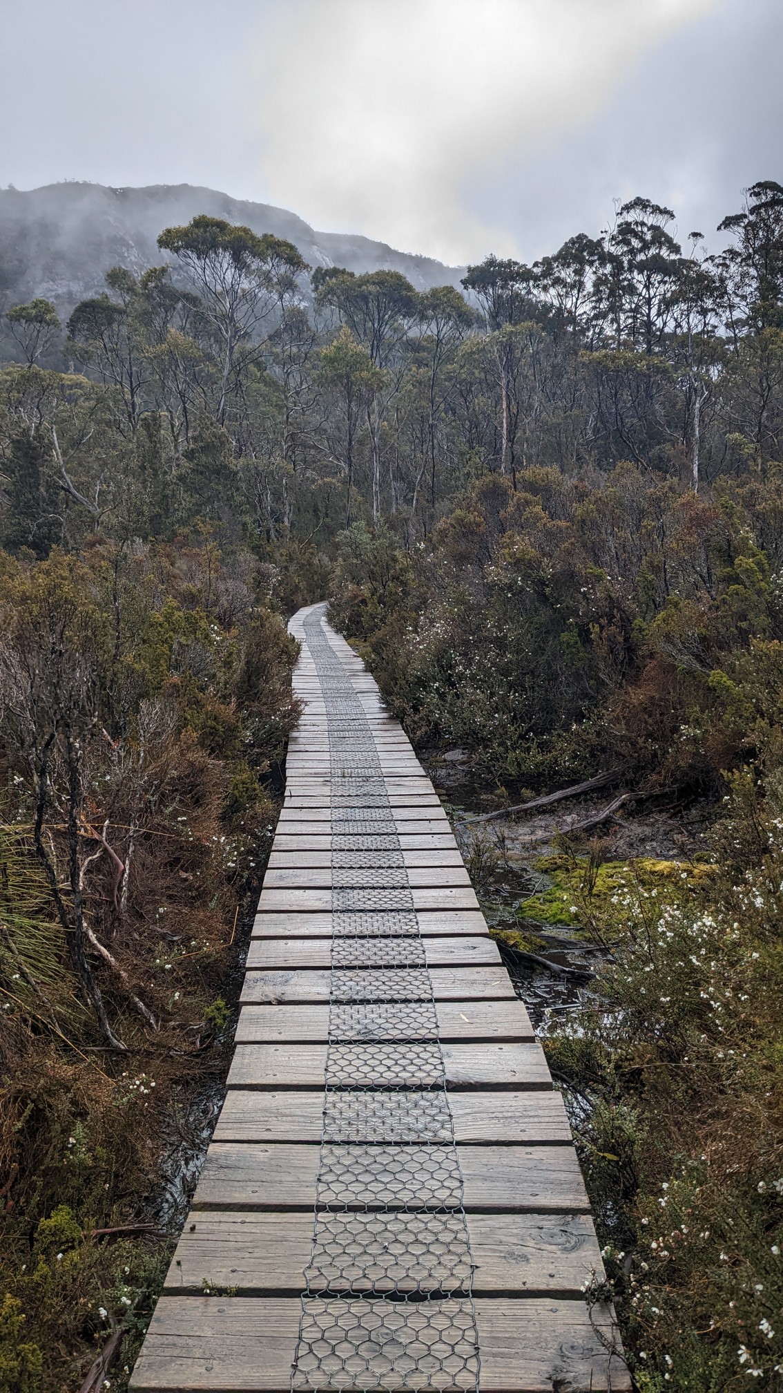
The trail was really well built thru this section, with really wide bridges over every small creek.
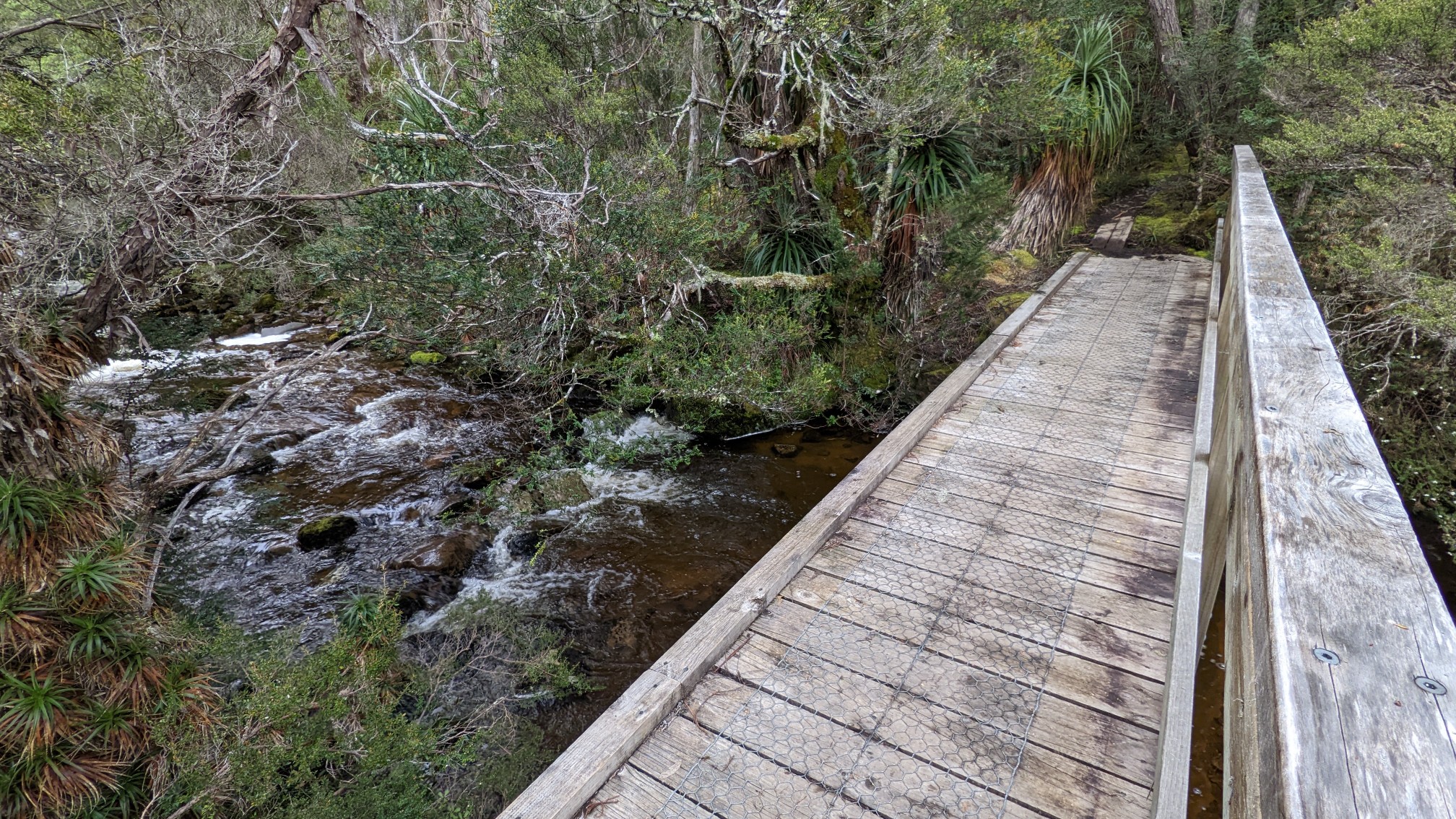
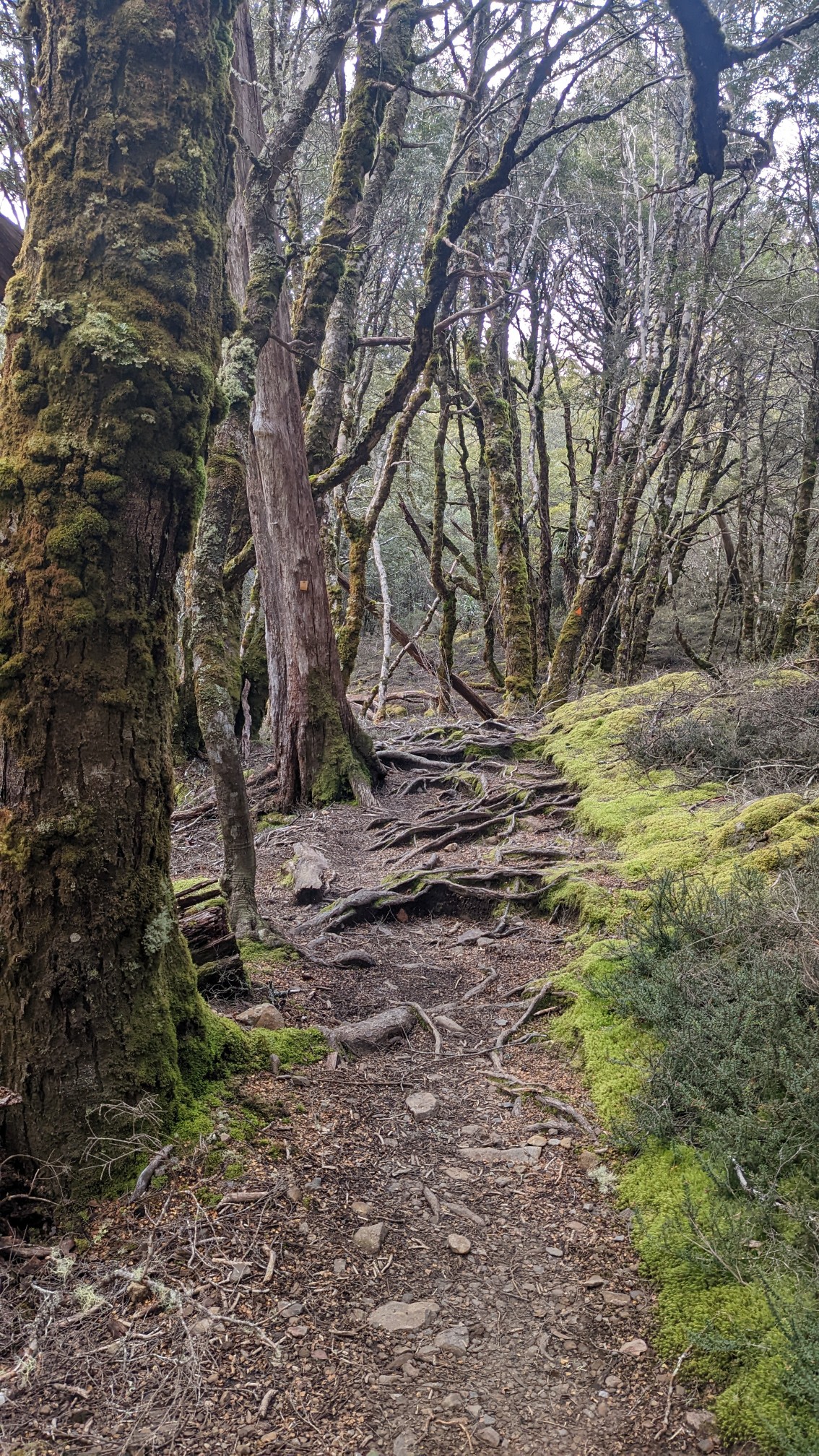
It must be a really wet place year-round, everything was so covered in moss.
At Pelion Gap, there is a trail junction to Mt Ossa, the highest point in Tasmania. This was a swampy area, so they built a massive boardwalk at the trail junction so groups could take a break.
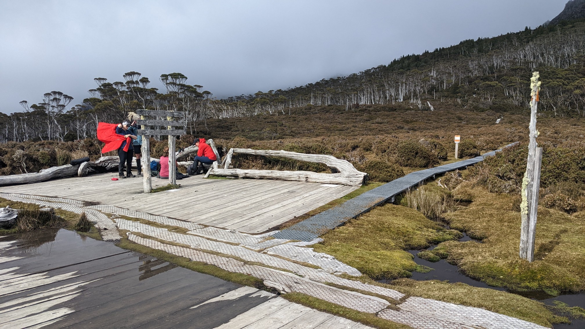
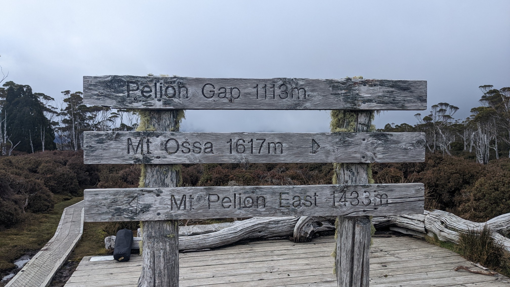
Mt. Ossa is 1617m tall, and a 2.6km side trip, so it would add 5.2km to my day.
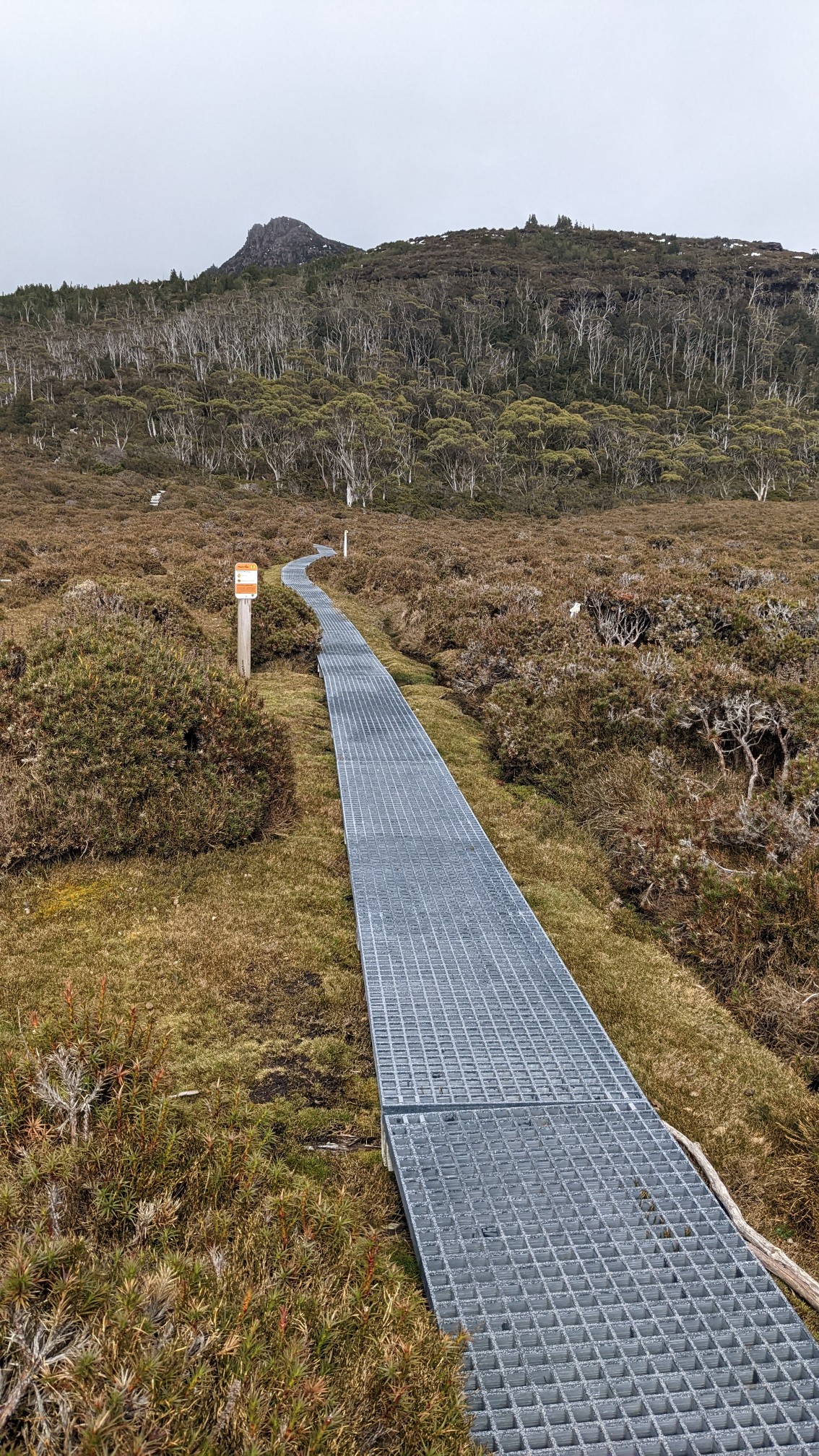
Even the side trail up Mt. Ossa was very well built.
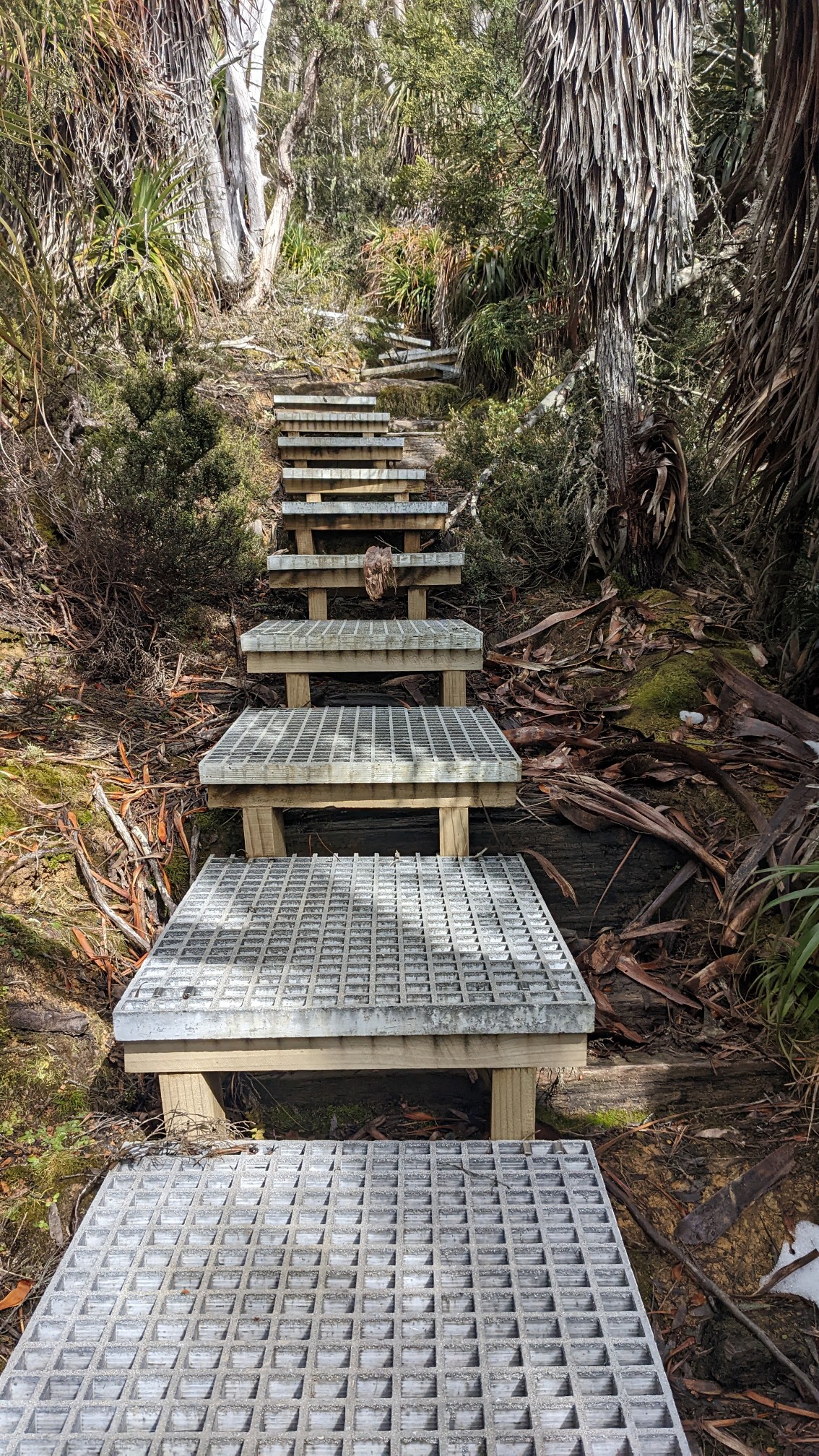
It climbed pretty steeply up to the first bump on the ridge, Mt Doris, on hundreds of newly-built stairs.
At the top of the stairs I looked behind me and saw Mt. Pelion East (el. 1408m), another summit across Pelion Gap.
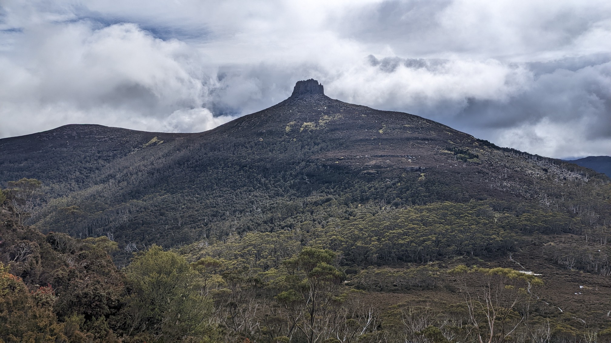
Looking ahead, I saw my intended summit hiding in a cloud (and Mt Doris to the right).
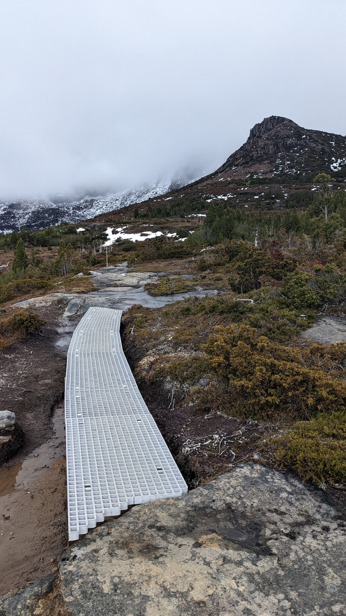
As I circumnavigated Mt Doris, I hiked through an area called the Japanese garden.
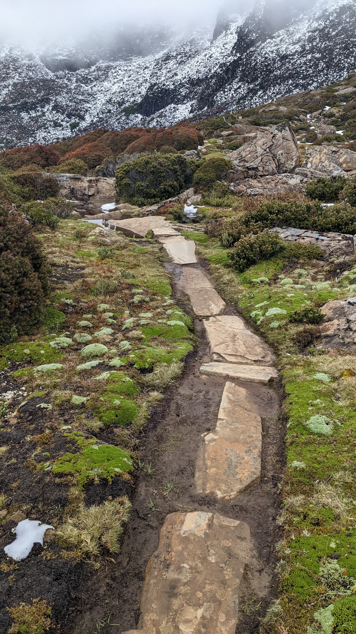
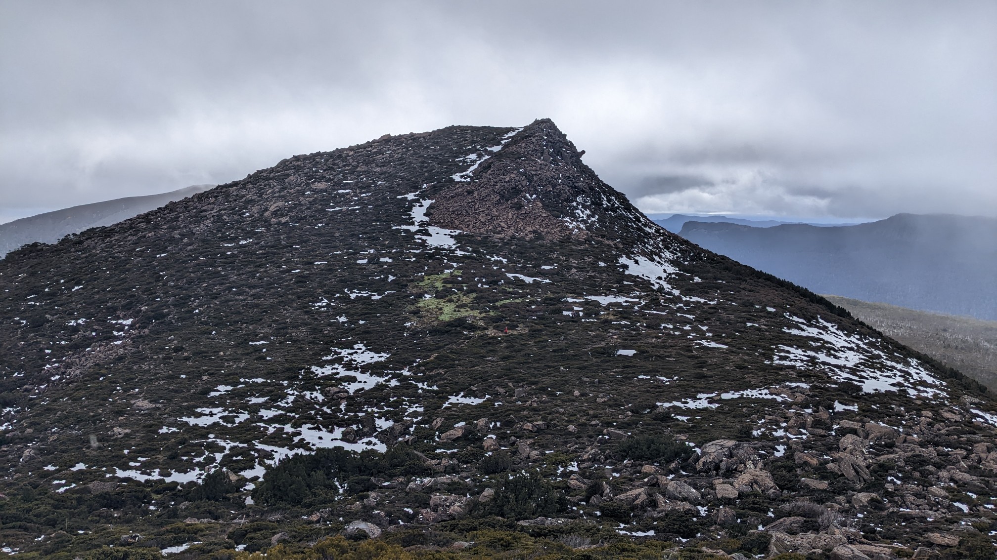
With less than one kilometer to go, I could now see the top of my intended summit, buried in a cloud and looking very windy.
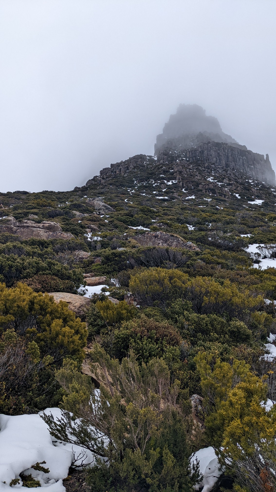
Mt. Doris behind me:
I climbed about halfway up the remainder of the climb, and the leftover snow was getting deeper. It took me 15 minutes to travel 100m, while post-holing up to my knees…no thanks.
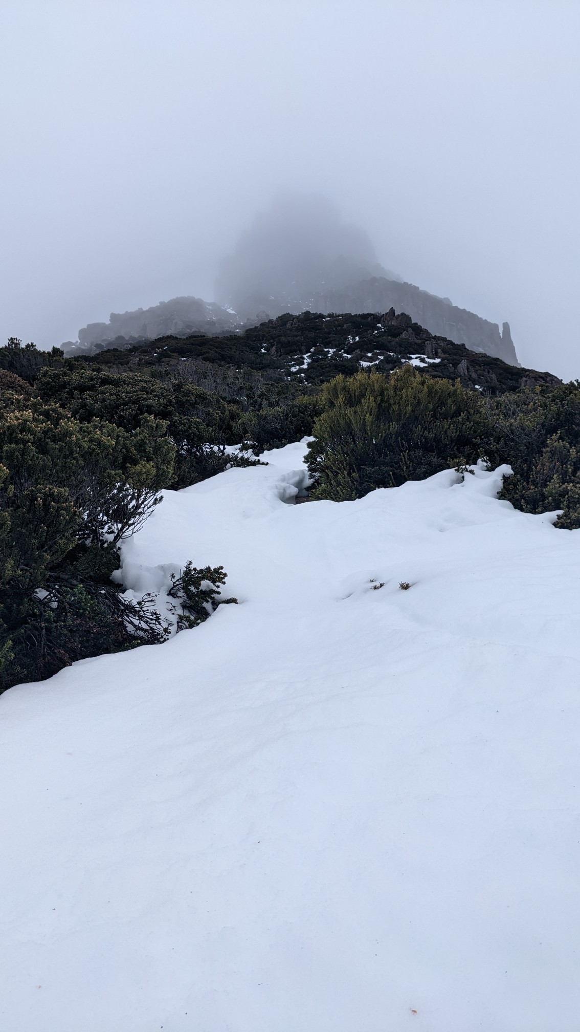
At that rate it would have taken me almost 2 more hours to get to the top, and I didn’t have 2 hours of good weather remaining, so I turned around. On the hike out, I got one final look at the summit that I will be back for.
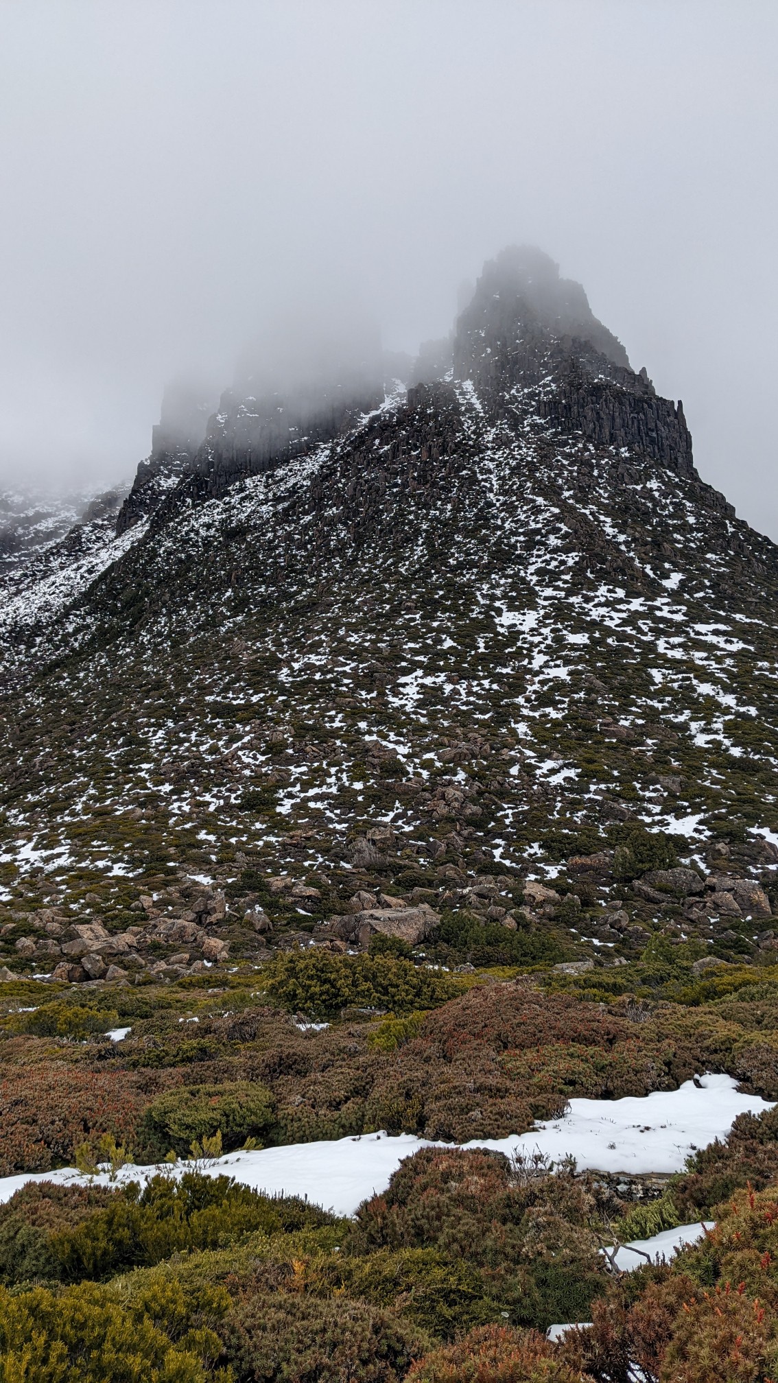
Once I got back down to the trail junction, it started to rain. Sideways. I was glad to be hiking on these nice boardwalks, and not up on an exposed summit.
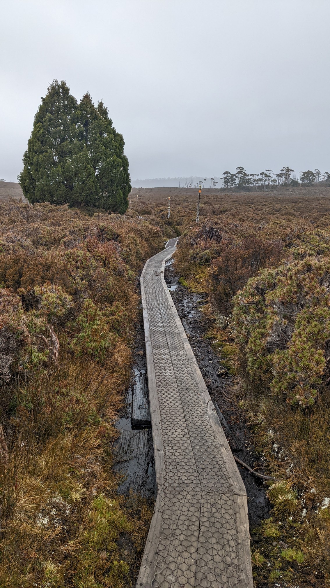
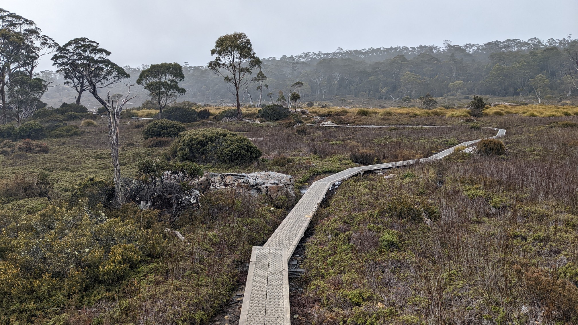
The next hut was only 4km away, and I made good time with good boardwalks underfoot and the wind at my back.
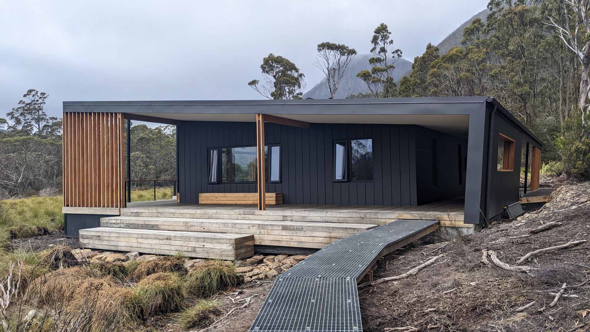
Kia Ora hut came into view, it’s another very modern hut that seemed like it was built only weeks ago.
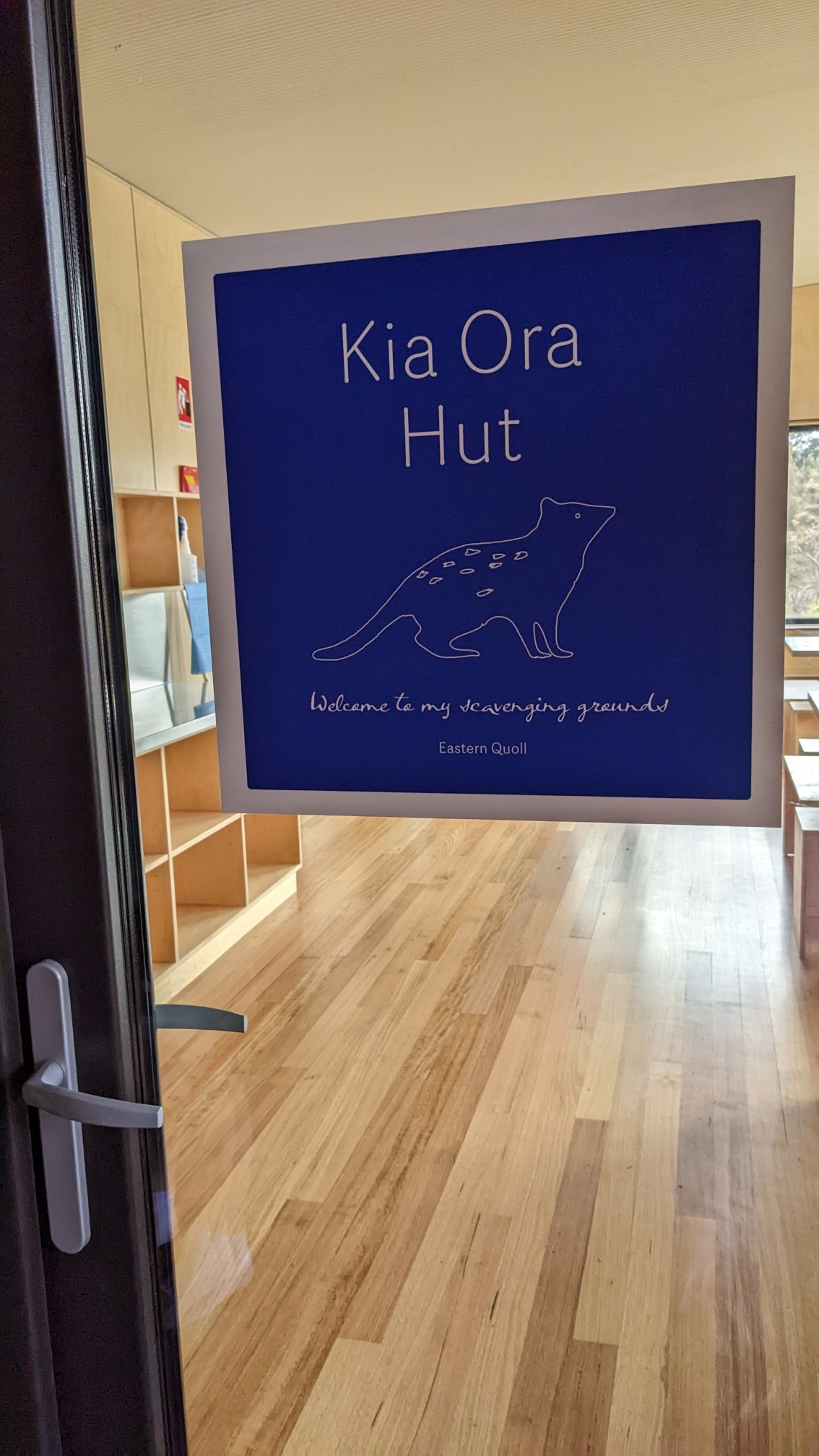
Another cute welcome sign, this time with an Eastern Quoll.
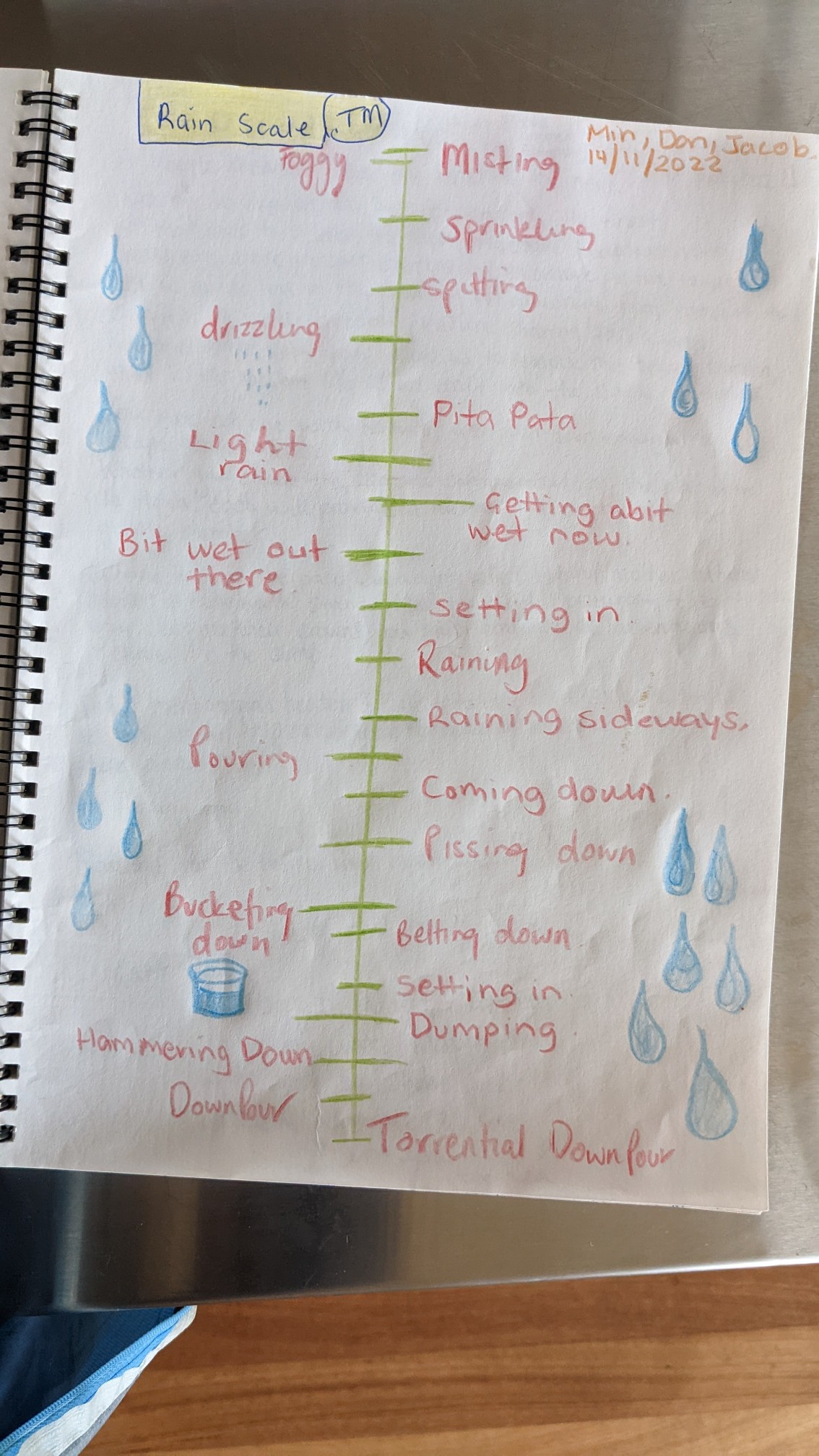
As I said in the hut eating my lunch and reading the trail journal, this page caught my eye as it was especially applicable today. So many types of rain!
The view of Mt Massif from Kia Ora hut.
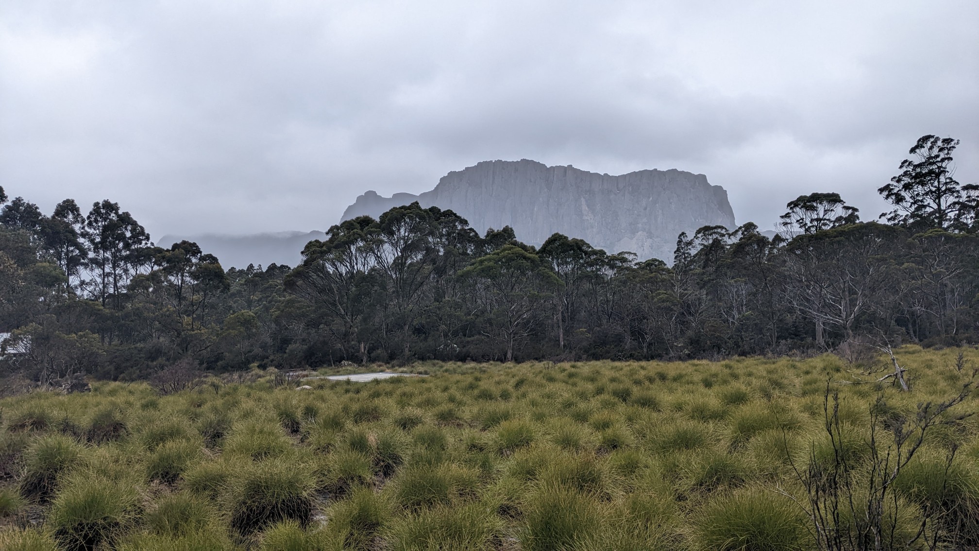
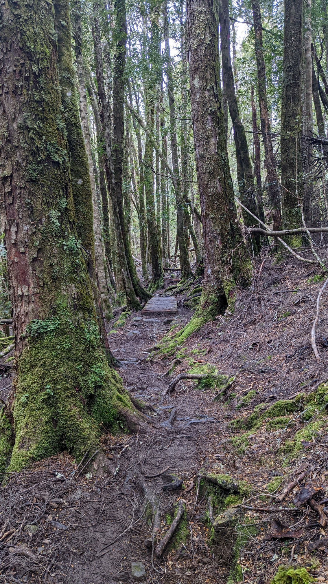
The rain had stopped for now, so I continued my hike. Most of the trail was in the forest this afternoon with a bunch of wet slippery tree roots.
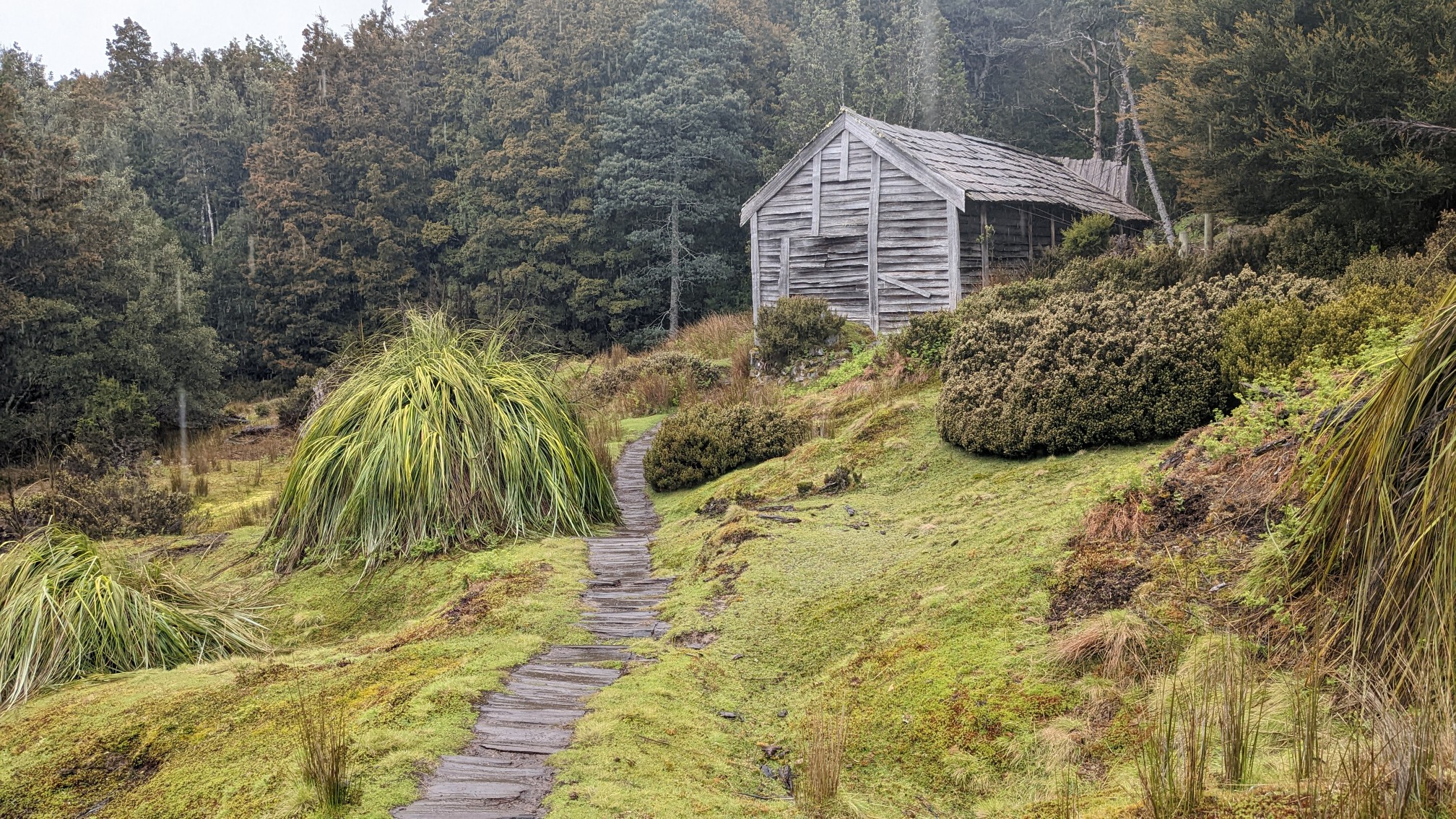
Half an hour later, I came to a really old hut that clearly had not been used as reasonable shelter in decades.
The inside of Ducane Hut looked ancient, like a scene from a 1920s mining camp.
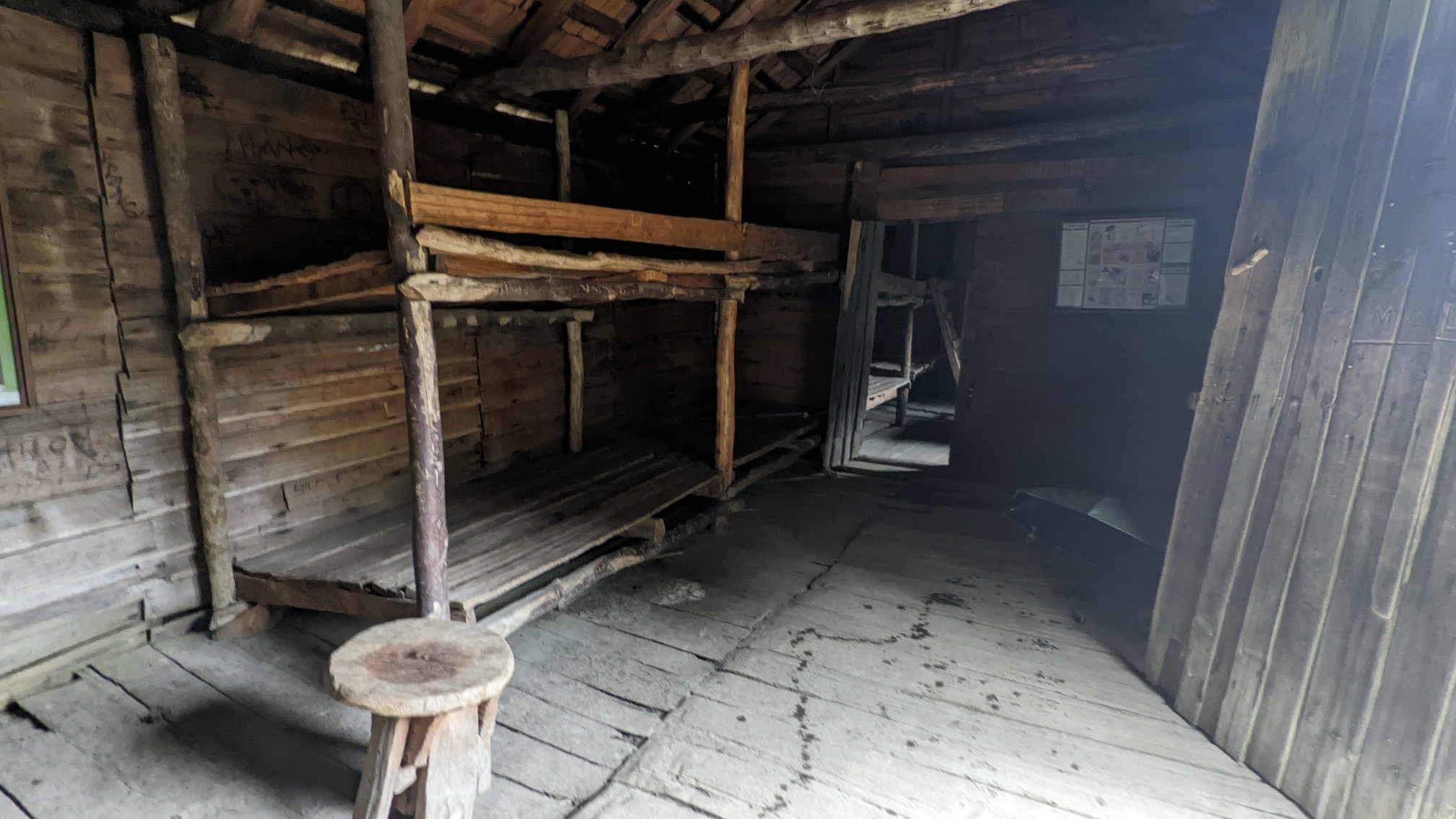
I had a nice snack break inside there, as the rain decided to come back for 15 minutes. These clouds are so indecisive up here in Tasmanian highcountry. I left the hut and in an hour I was tempted by a trail junction to Hartnett Falls.
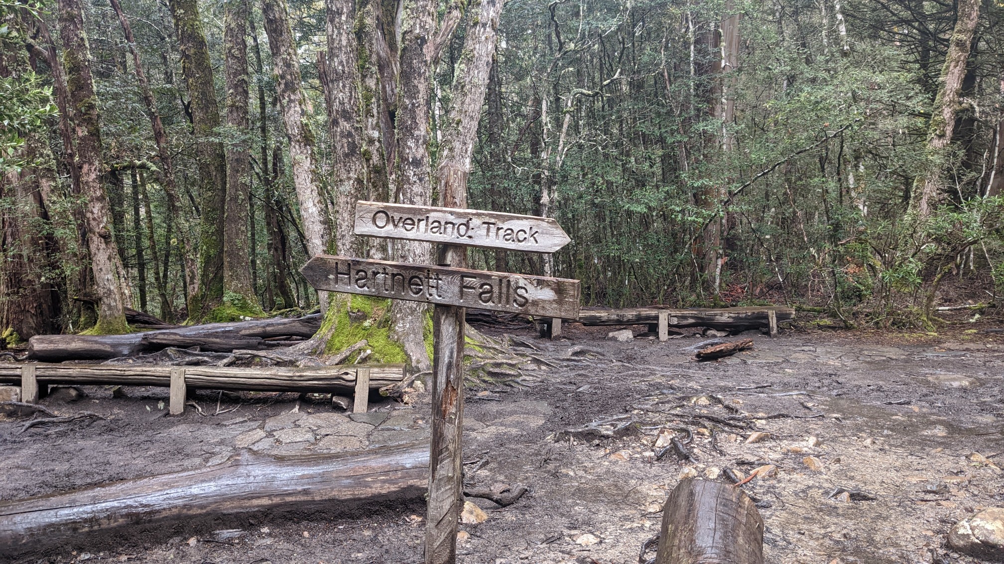
I left my backpack on the bench at the junction, and jogged the 800m to the waterfalls. I was hoping the falls were raging after all the recent rain and snowfall, and I wasn’t disappointed.
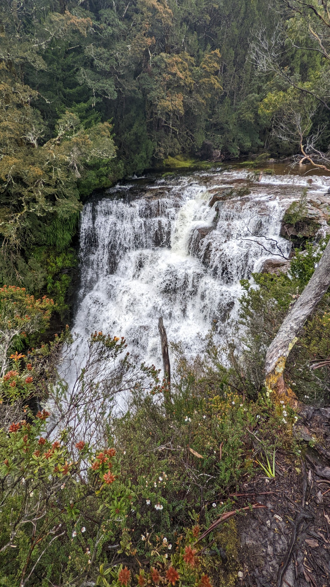
It was so loud it hurt my ear, and I walked downstream a little bit to another viewpoint.
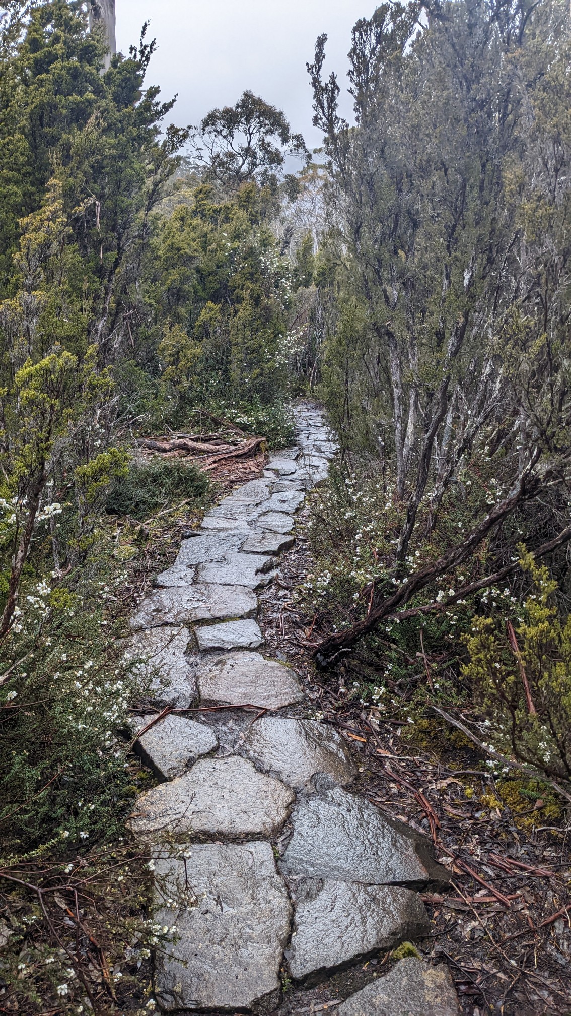
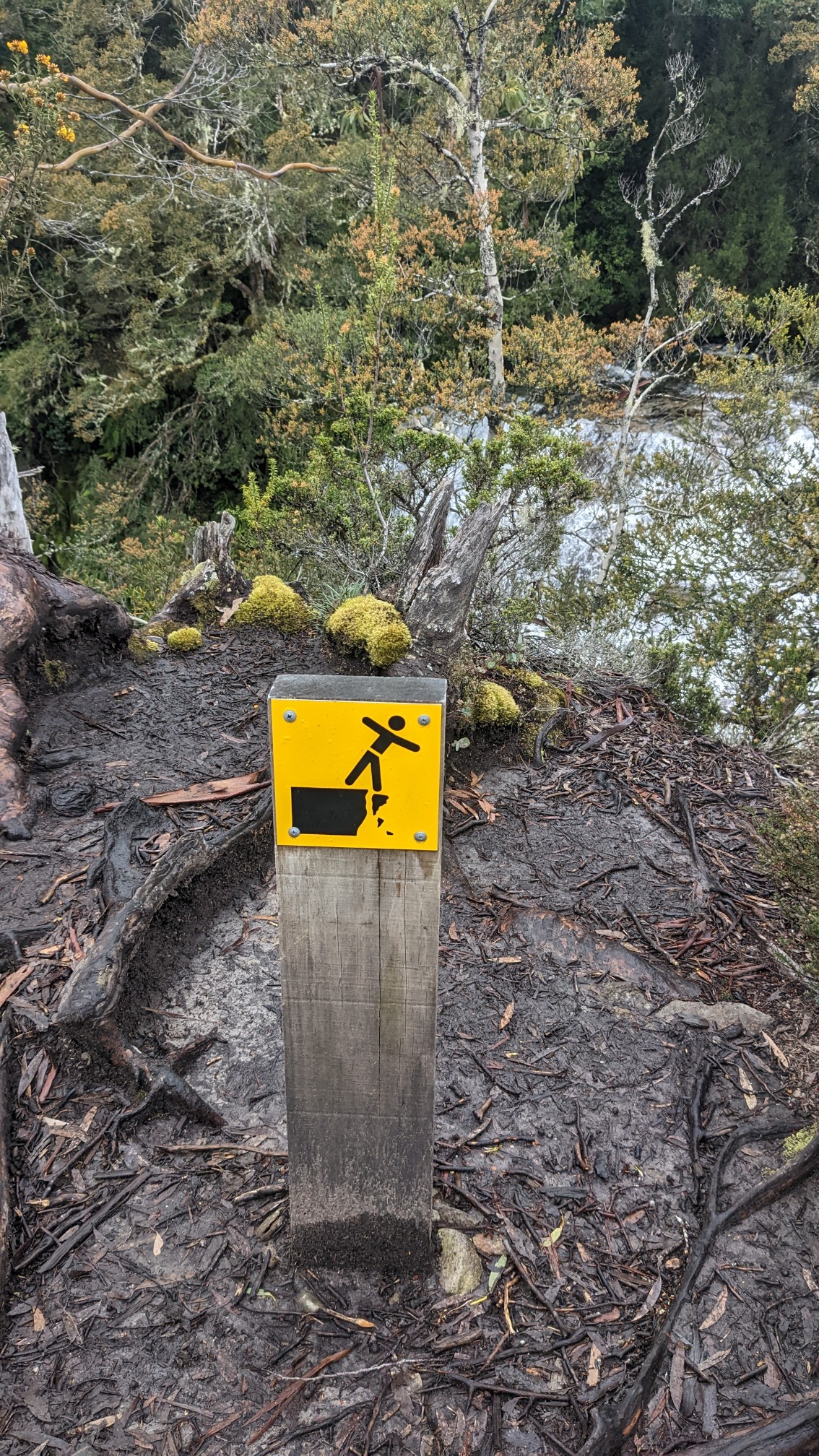
I couldn’t see as well thru the bushes, but I could tell the river was much higher than normal, the tree branches were in the water on the banks. Yikes. This spot is also a jumpoff point to Walls of Jerusalem National Park, but that route requires fording this river, which would currently be fatal. (I’ll visit in a car from another entrance). I jogged back up to my backpack and continued back on the Overland Track. The climb up to DuCane Gap was nice, into the afternoon sun and on boardwalks.
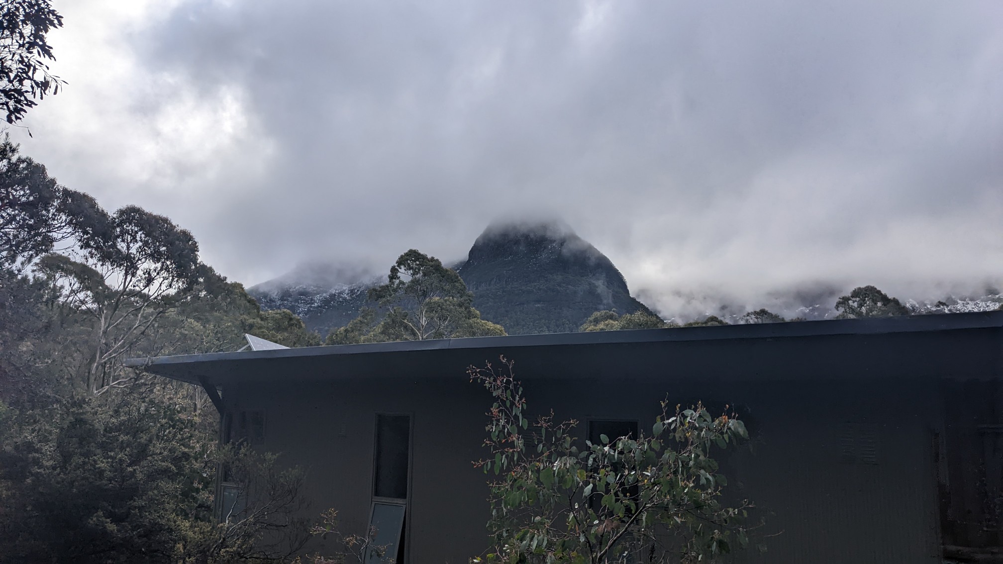
An hour after the Gap I arrived at Bert Nichols hut, named for an old hunter/trapper/guide in this area.
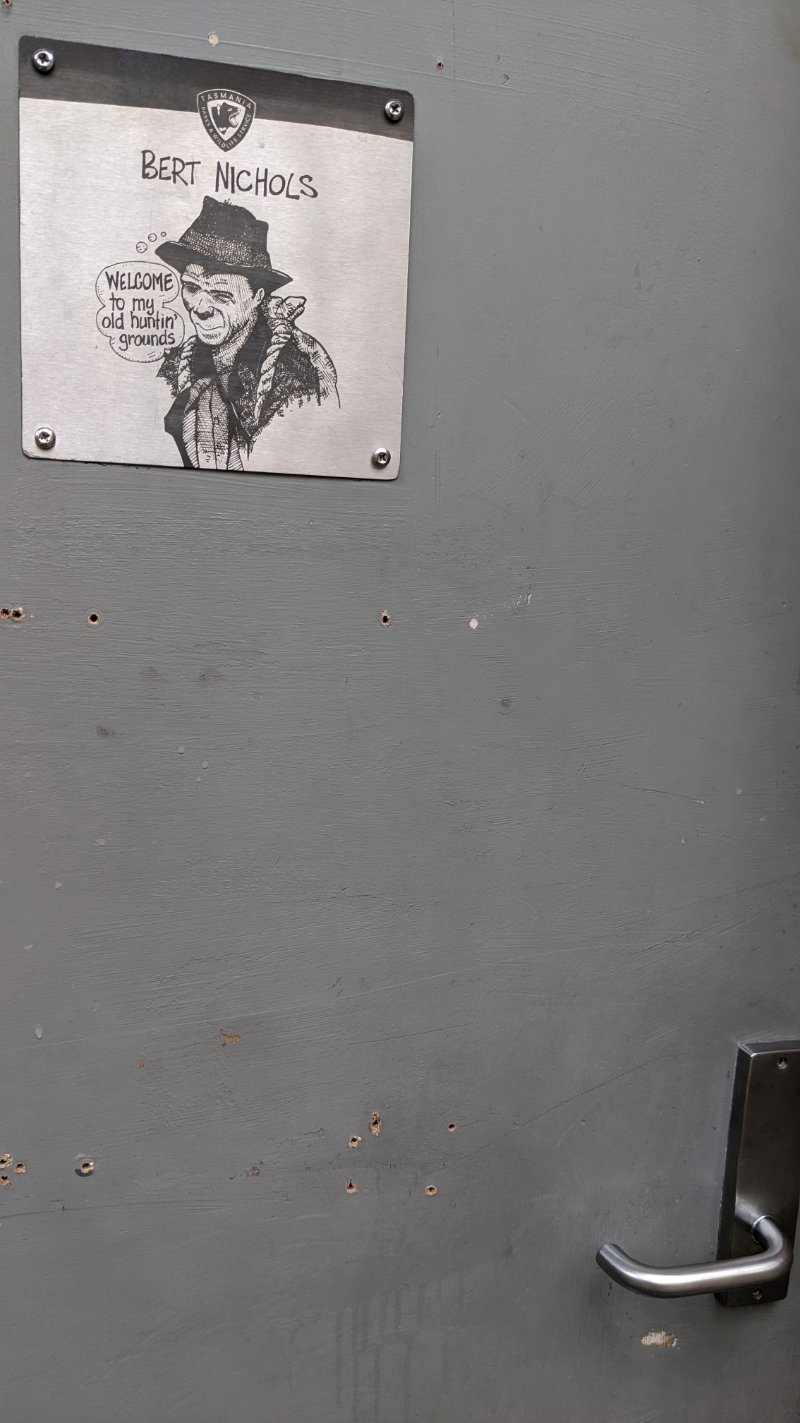
His welcome sign wasn’t as enlightening as the others.
The inside was huge, though not as fancy and polished as the previous huts. I think this one was built in 2000.
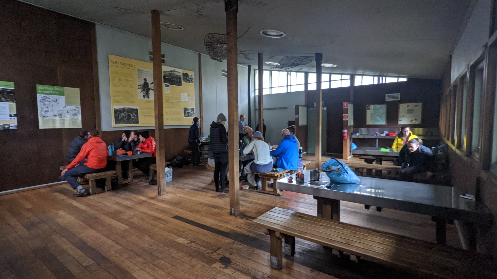
There were probably 20 other people there, and it looked like they had been there for many hours. It’s funny here on the Overland, when people arrive to a hut at noon, they just call it a day, instead of hiking to the next one like on most other trails. I shared a table with a nice couple from Melbourne, and they gave me some more Tassie hiking ideas, in case my plans for Western Arthurs doesn’t work out. I was in bed by 9pm, still feeling mildly flu-ish and coughing tons, which was annoying.
Nice trails and huts for hikers. Surprised how deep the snow was as you tried to climb up that mountain.
Yeah it’s most unusual to have deep snow this time of year, just a few days away from the start of summer.