Sunday December 4, 34.0km/21.1mi
Bare Knoll Campground (7.7/263m) to Fortescue Bay (41.7/7m) (TAS)
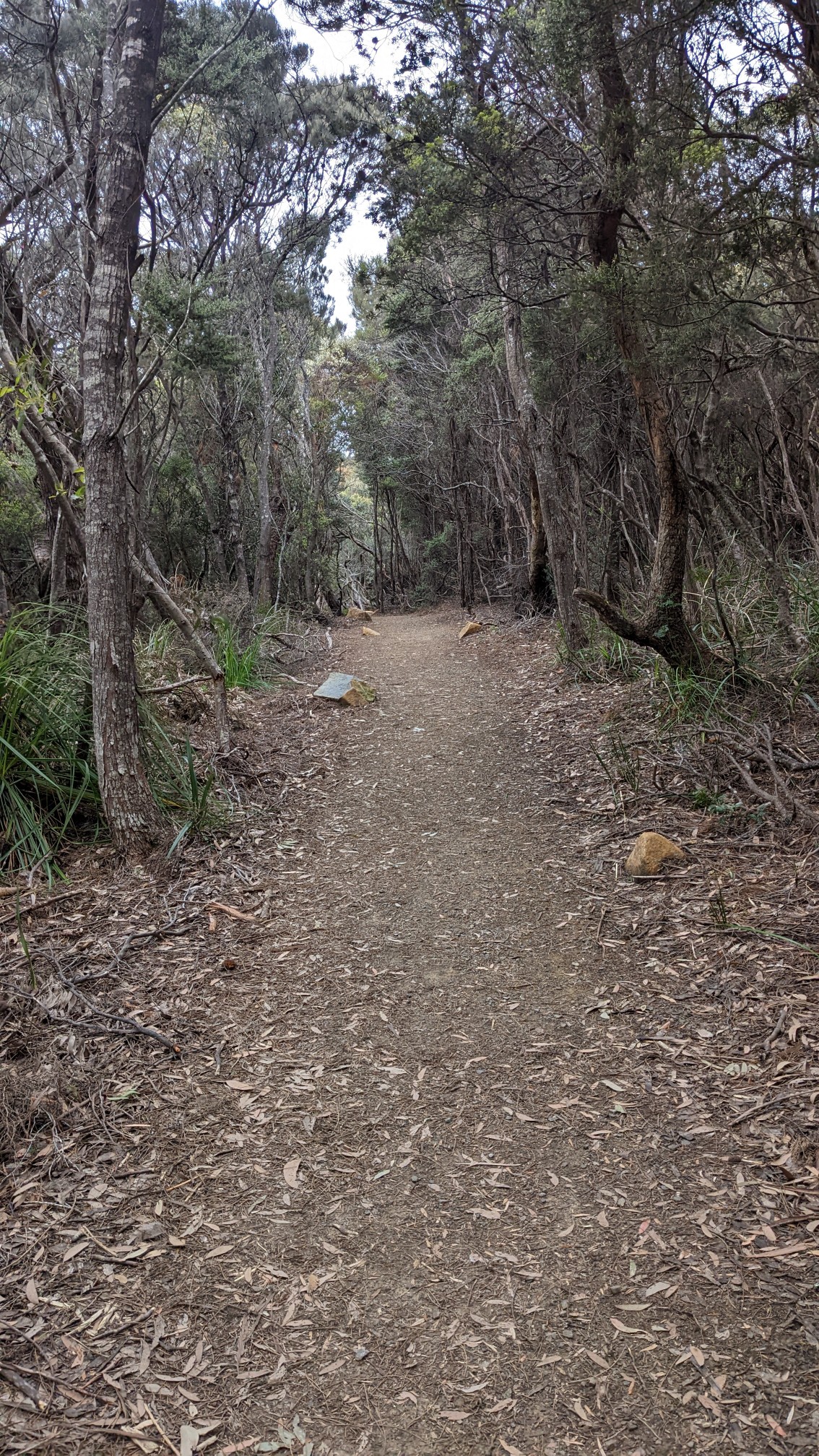
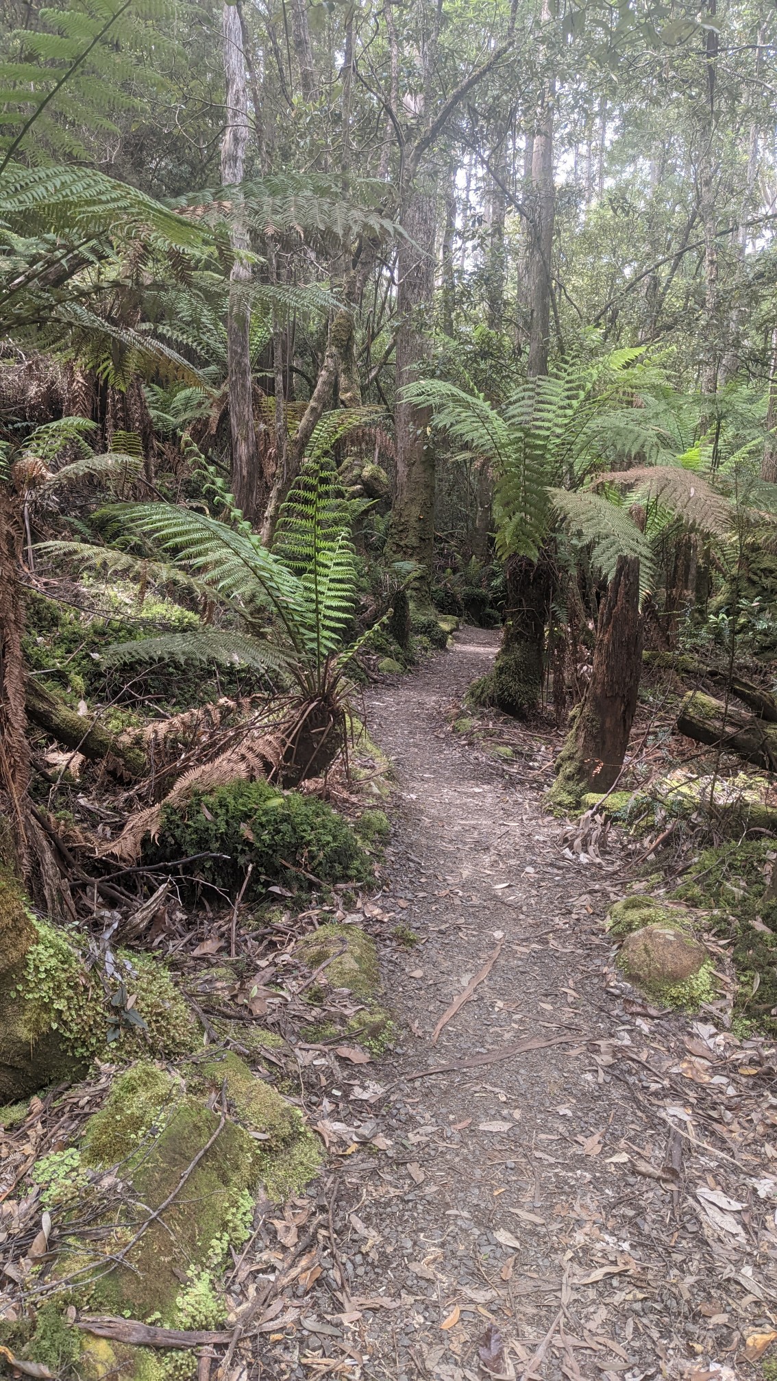
I had a great sleep in the little campground, and the possum didn’t bother me any further. I left my tent setup with my sleeping stuff inside it, as much of the hike today is an out&back hike, and I collected my tent when I came back thru. Most of the hiking today was easy, on trail like this:
Within 30 minutes I came to Munro Hut, one of the glamping huts for the hikers who pay $500AUS / $360 USD to do the “Three Capes Experience”.
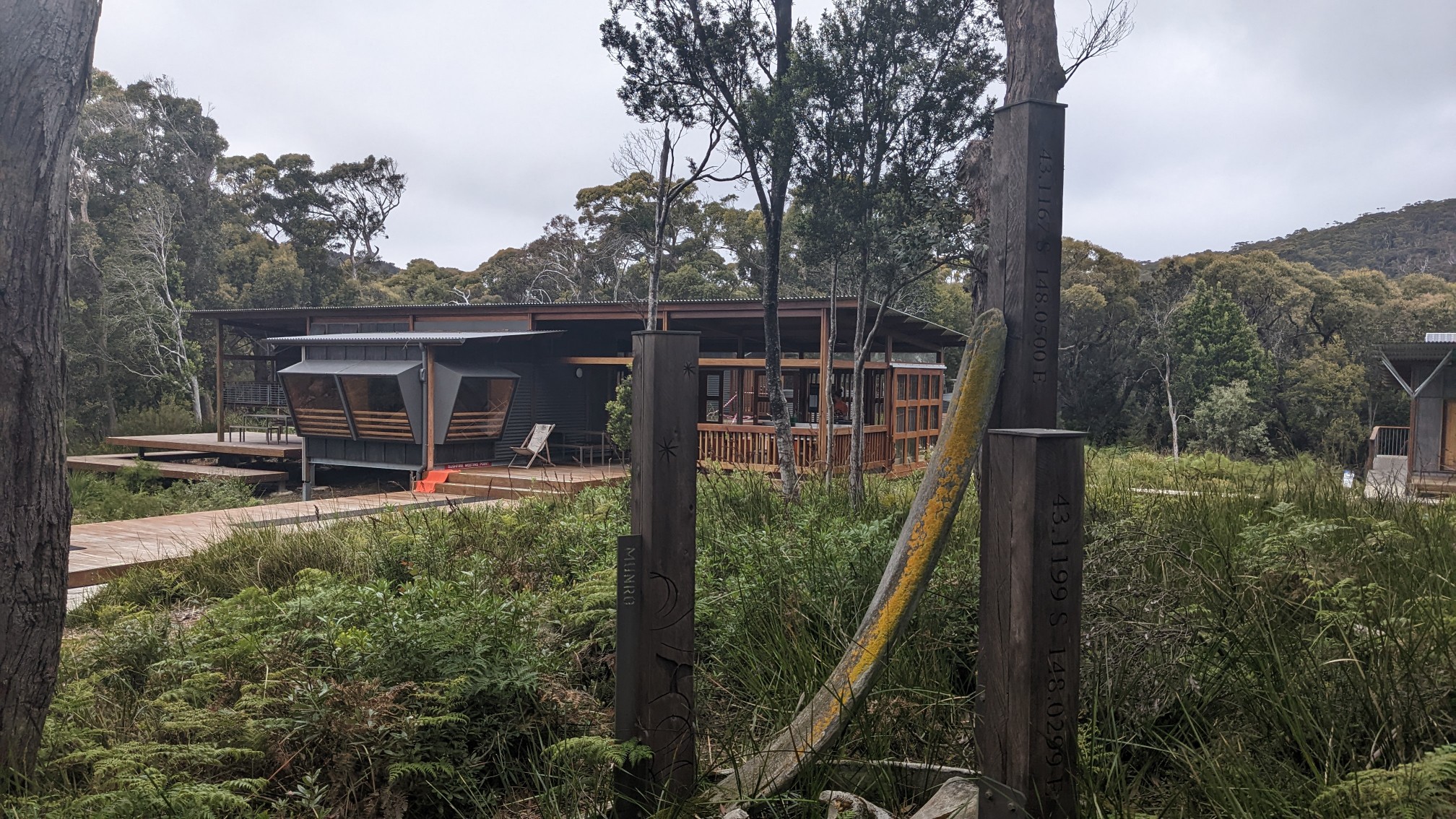
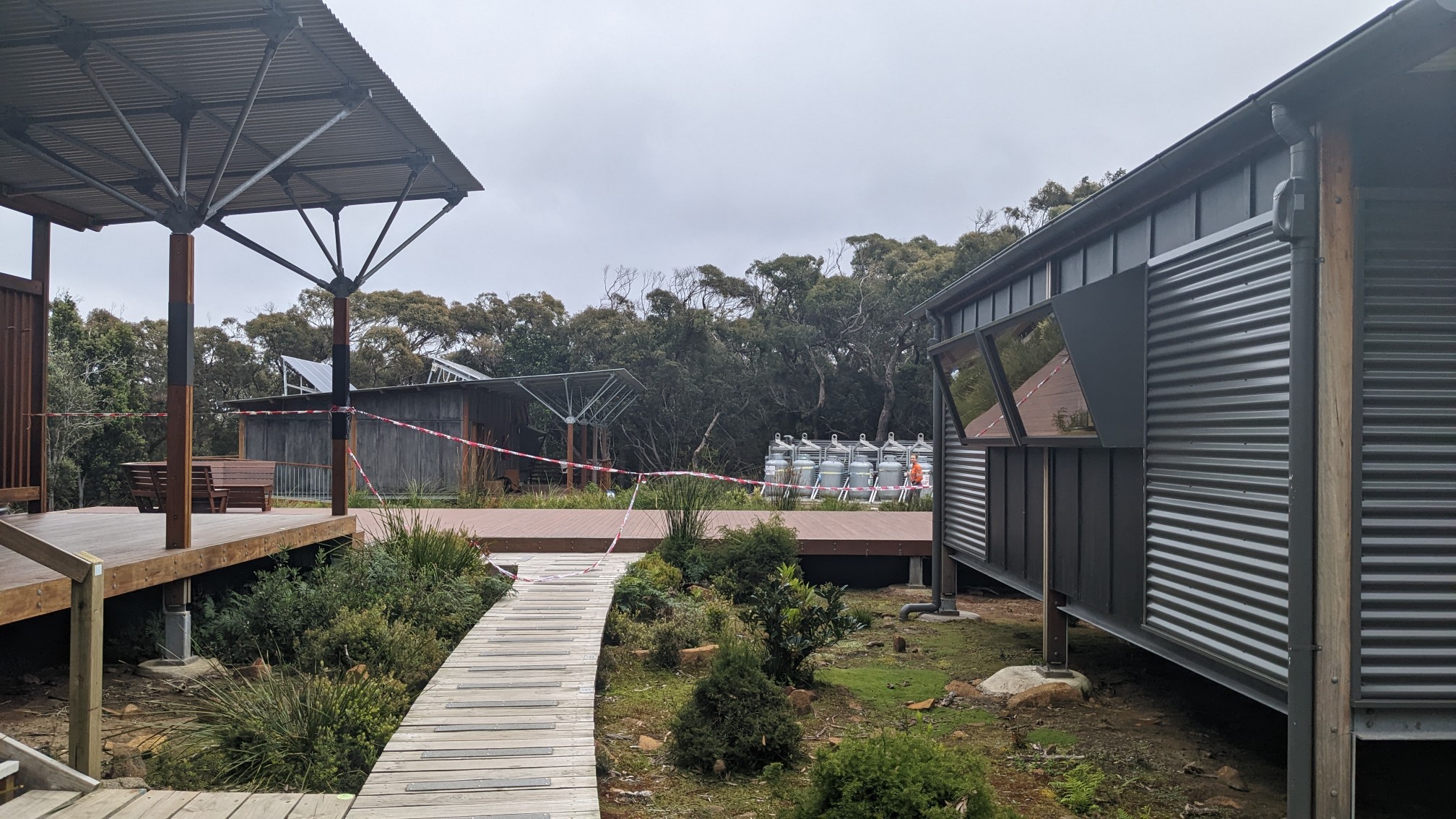
Walking up to the hut I realized it was an entire campus, of bunkhouses, kitchen room, bathrooms, decks, ranger buildings, and more.
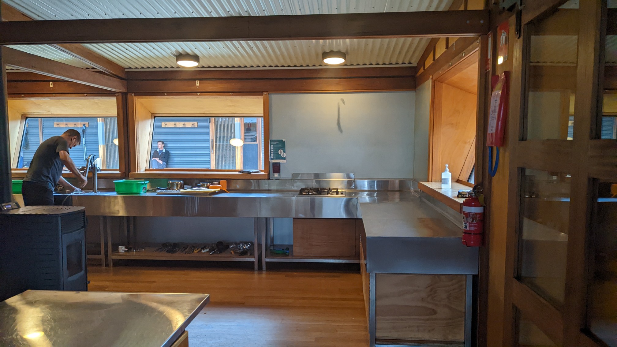
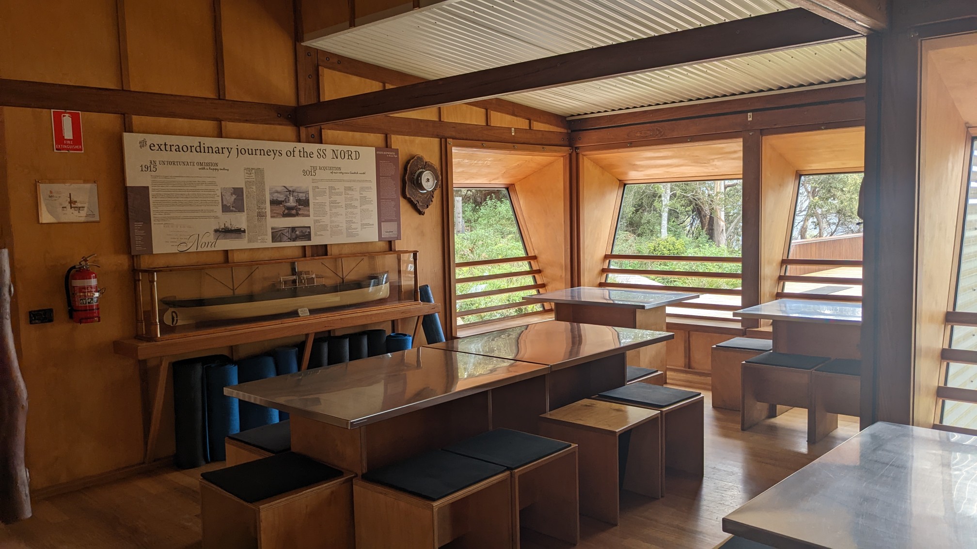
The inside was very fancy too.
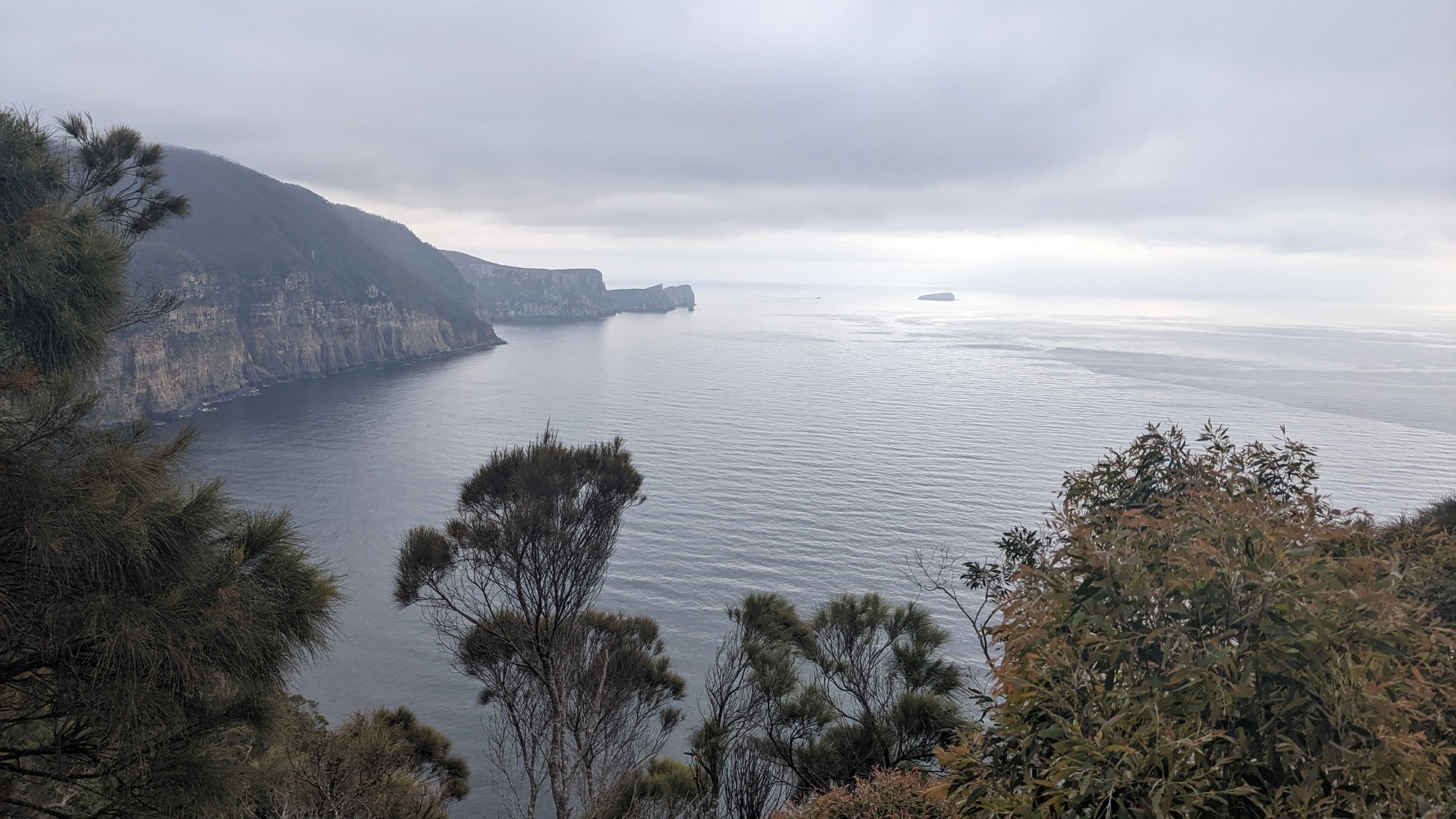
The view from the deck was spectacular, I think that’s Cape Hauy in the distance.
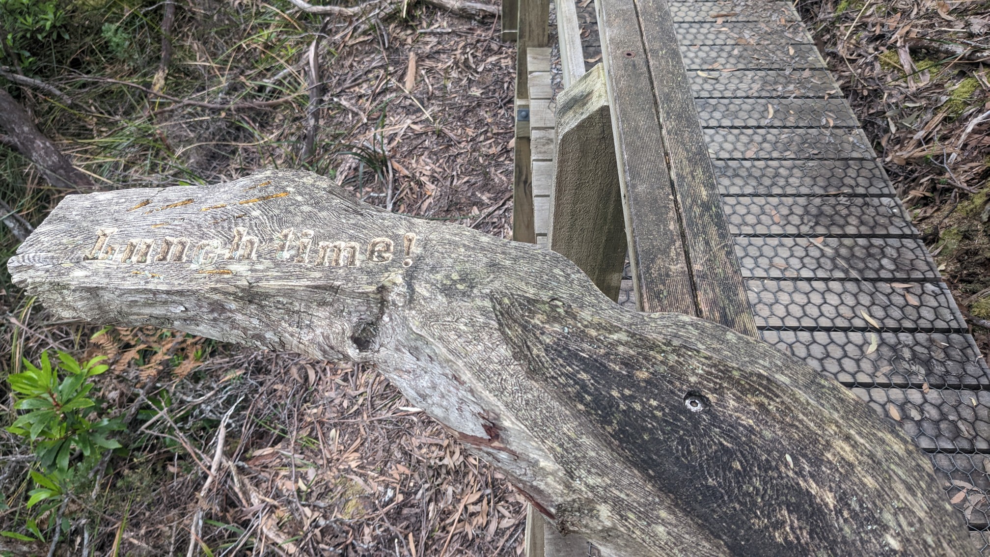
I talked to the ranger at the hut, and she was very friendly and helpful. I refilled my water bottle and kept moving. A few minutes down the track I noticed the first random and bizarre item, a board that said “lunchtime”. Weird.
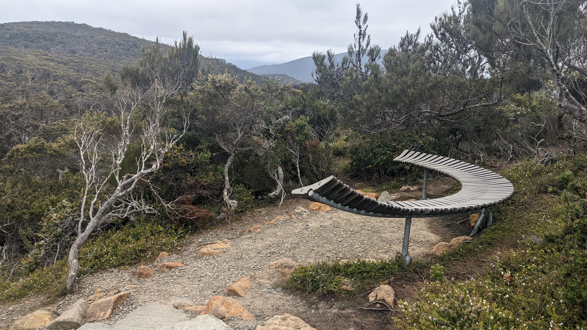
The benches were unusual too, they appeared more artistic than functional.
The track was built to a very high standard, and I was very impressed by the attention to detail. There was an arrangement of stones leading up to the boardwalk.
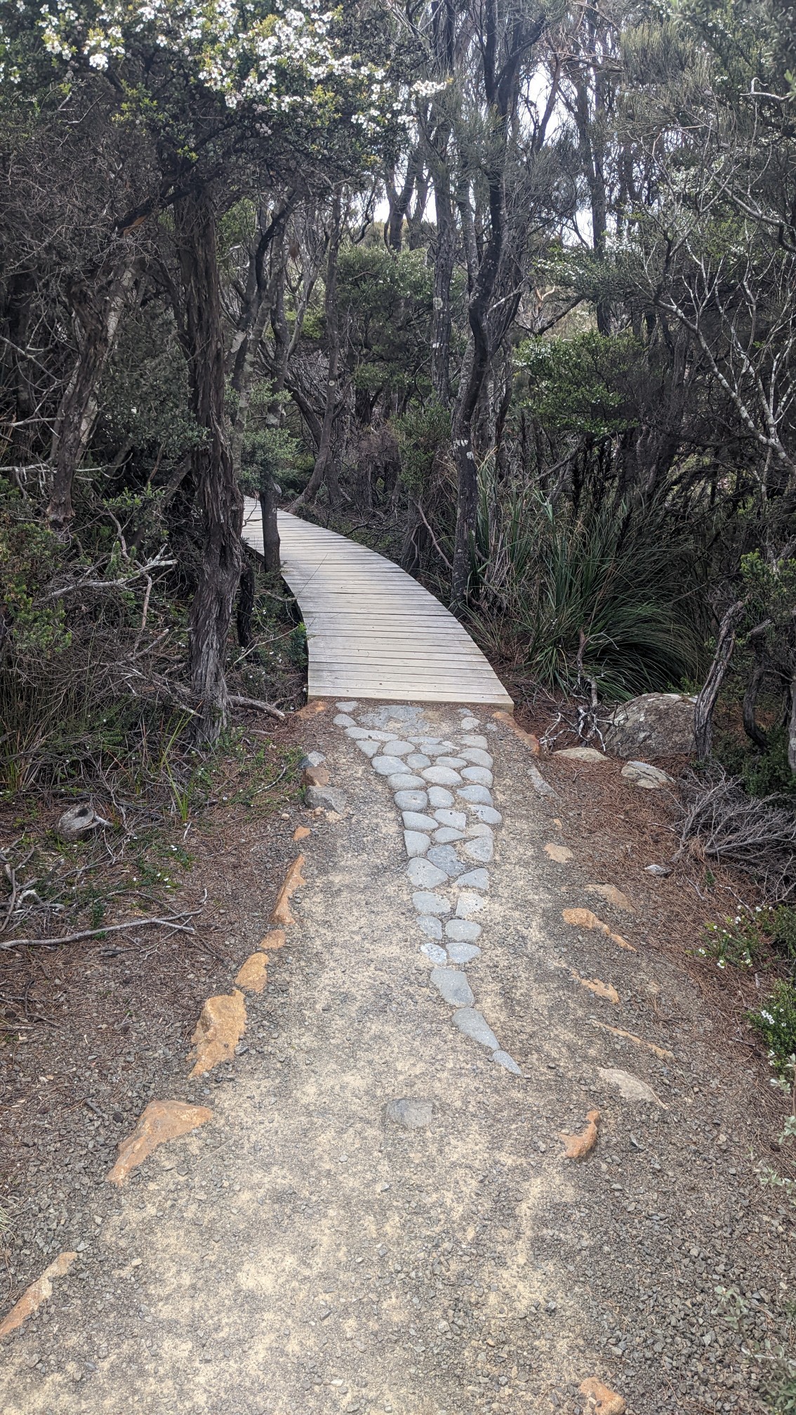
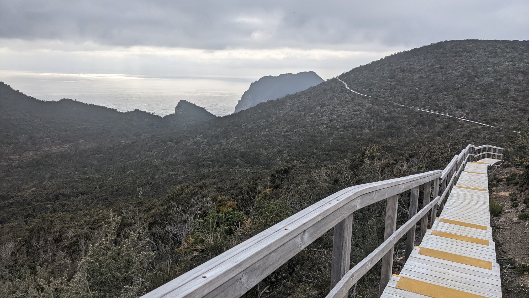
And then Tasmania’s longest boardwalk started. I think I was walking on wood for at least 20 minutes. The views to the south were pretty great too.
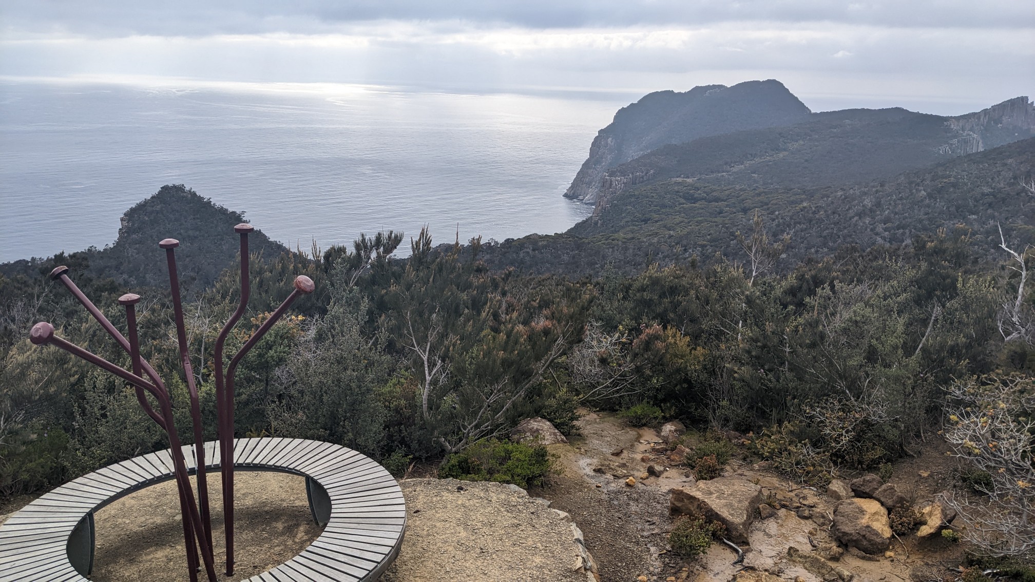
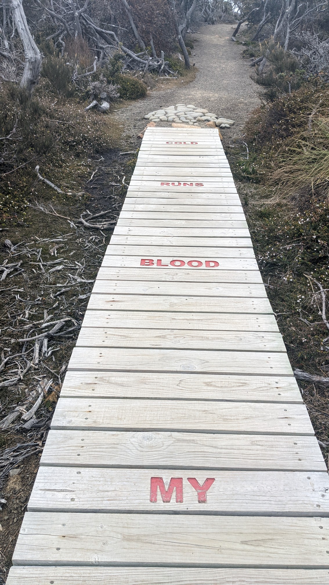
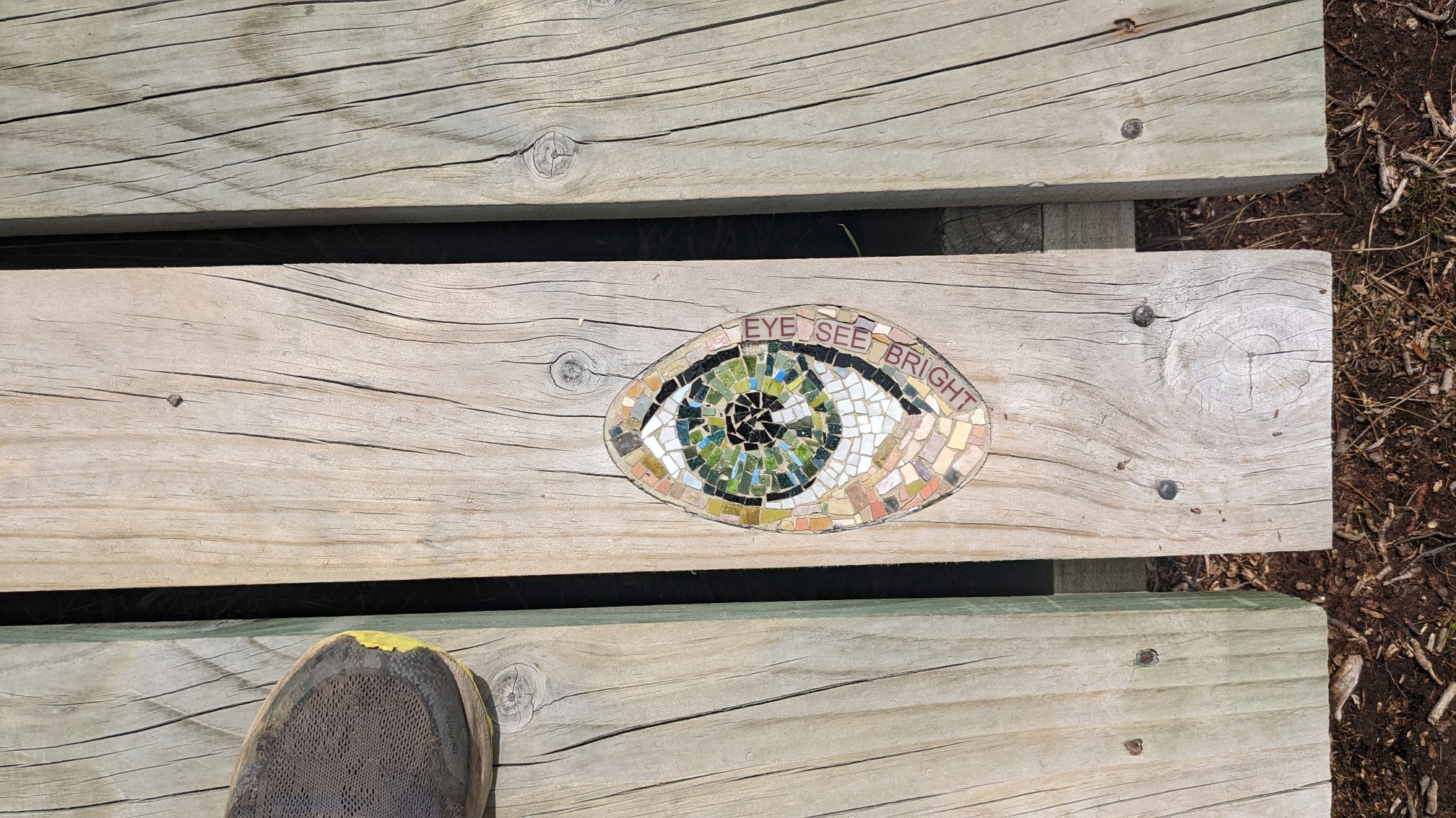
A few more bizarre items appeared, a round bench with a sculpture, the message “my blood runs cold” on the boards, and “eye see bright” in tile.
As I got closer to the end of the peninsula, I could start to see Tasman Island, and “the blade” rock formation.
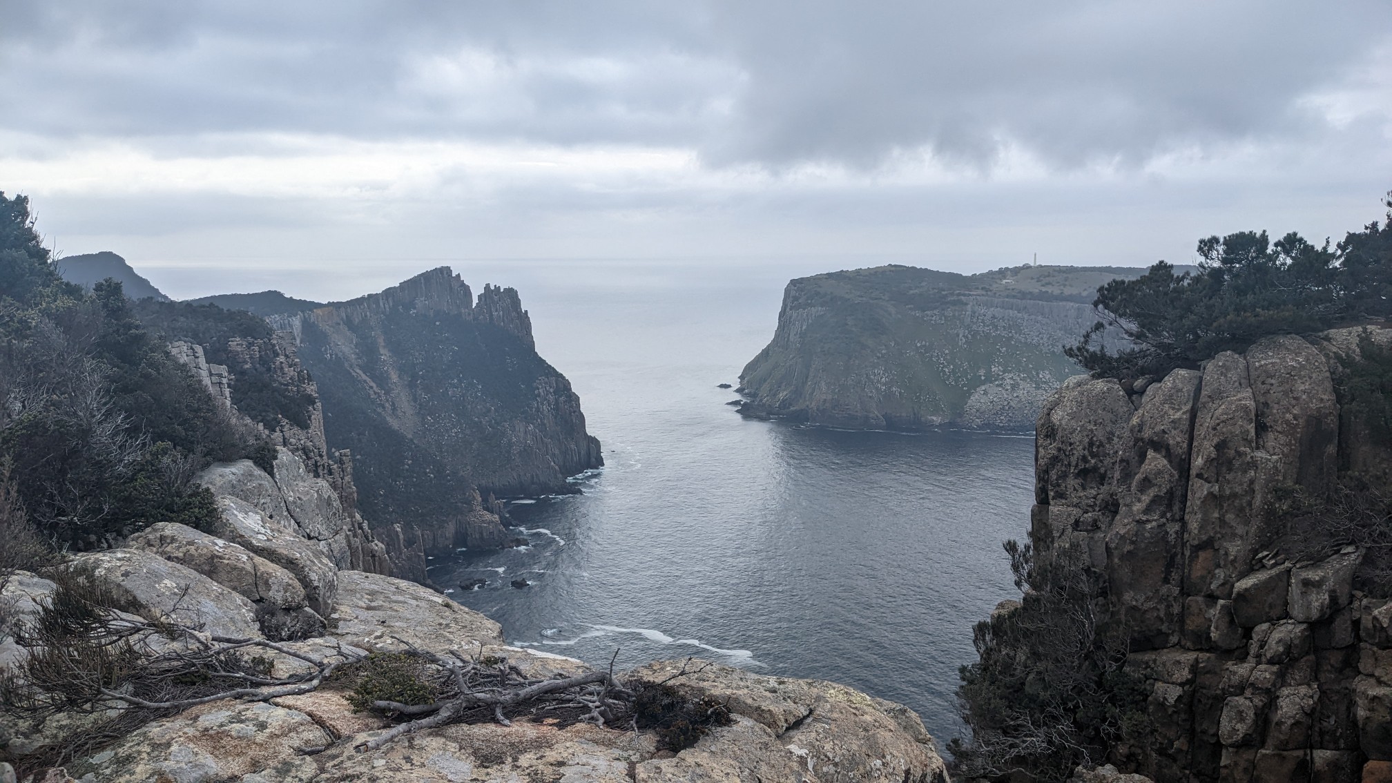
The Blade, which I would be hiking on shortly:
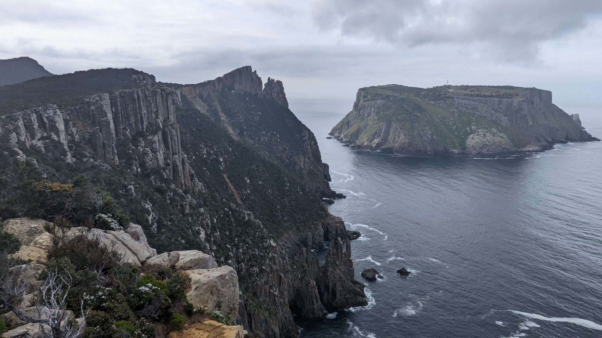
I loved seeing all the detached rock pillars. Reminded me of Acadia NP!
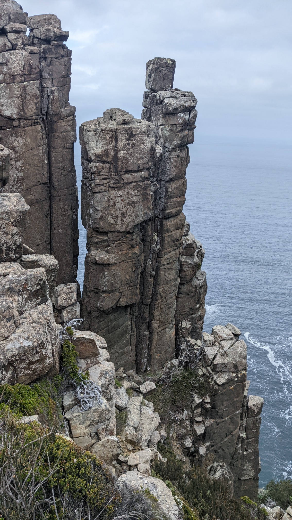
Looking back towards the bluff I had just hiked across:
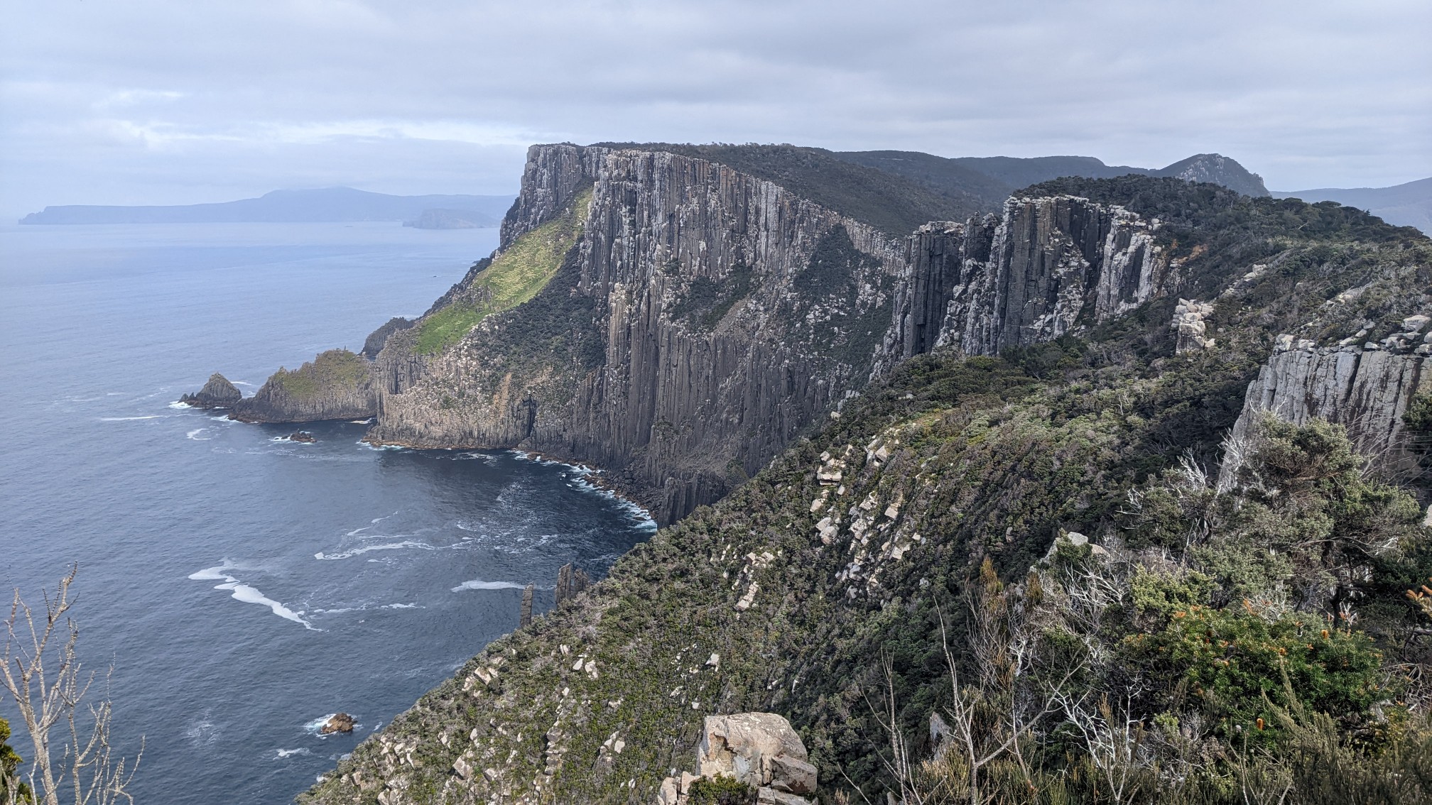
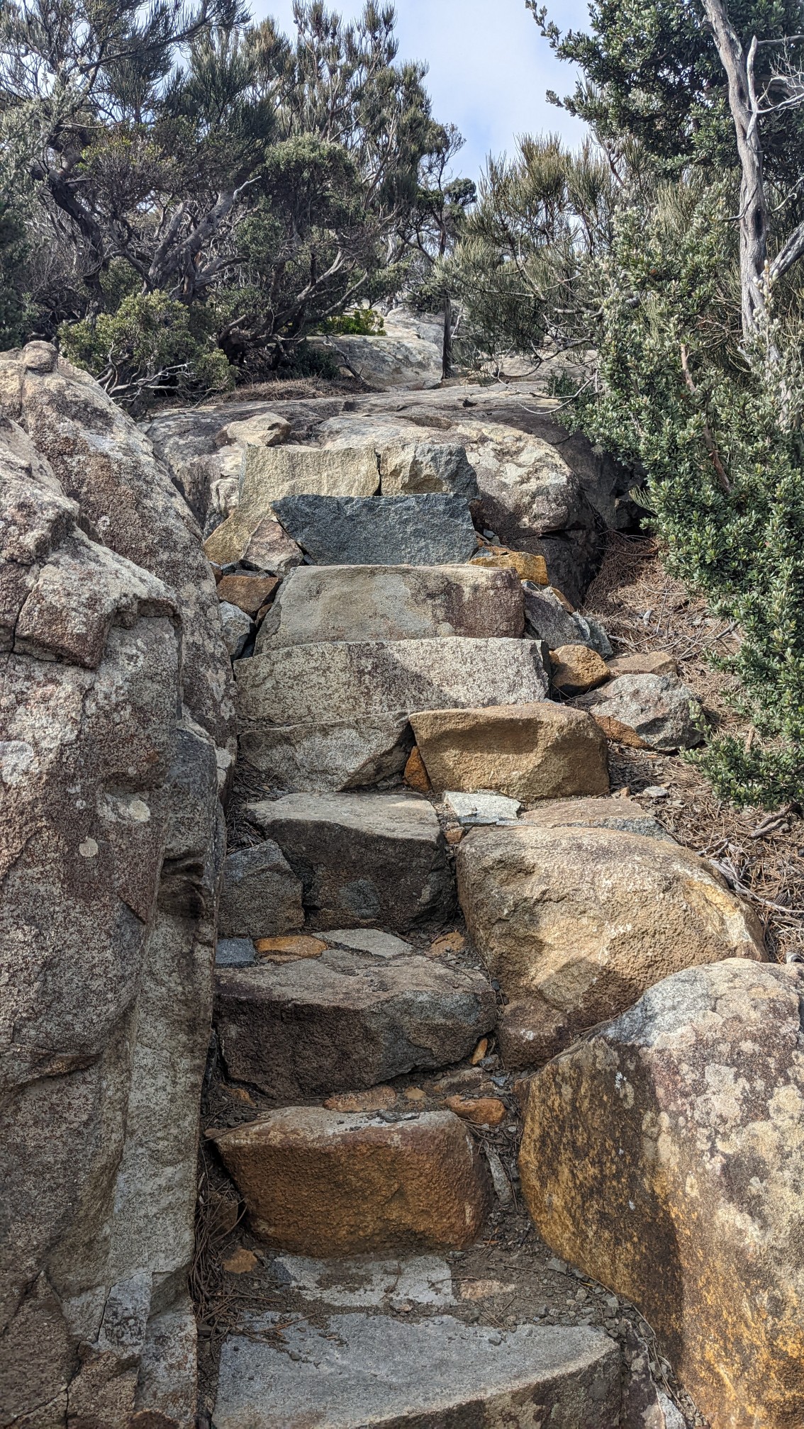
I came to a trail junction and turned to hike the Blade, a 10-minute side trip. It was steeper than I expected, with dozens of stairs.
The exposure on the end of the Blade was unreal. The sea was 100m/330ft below me.
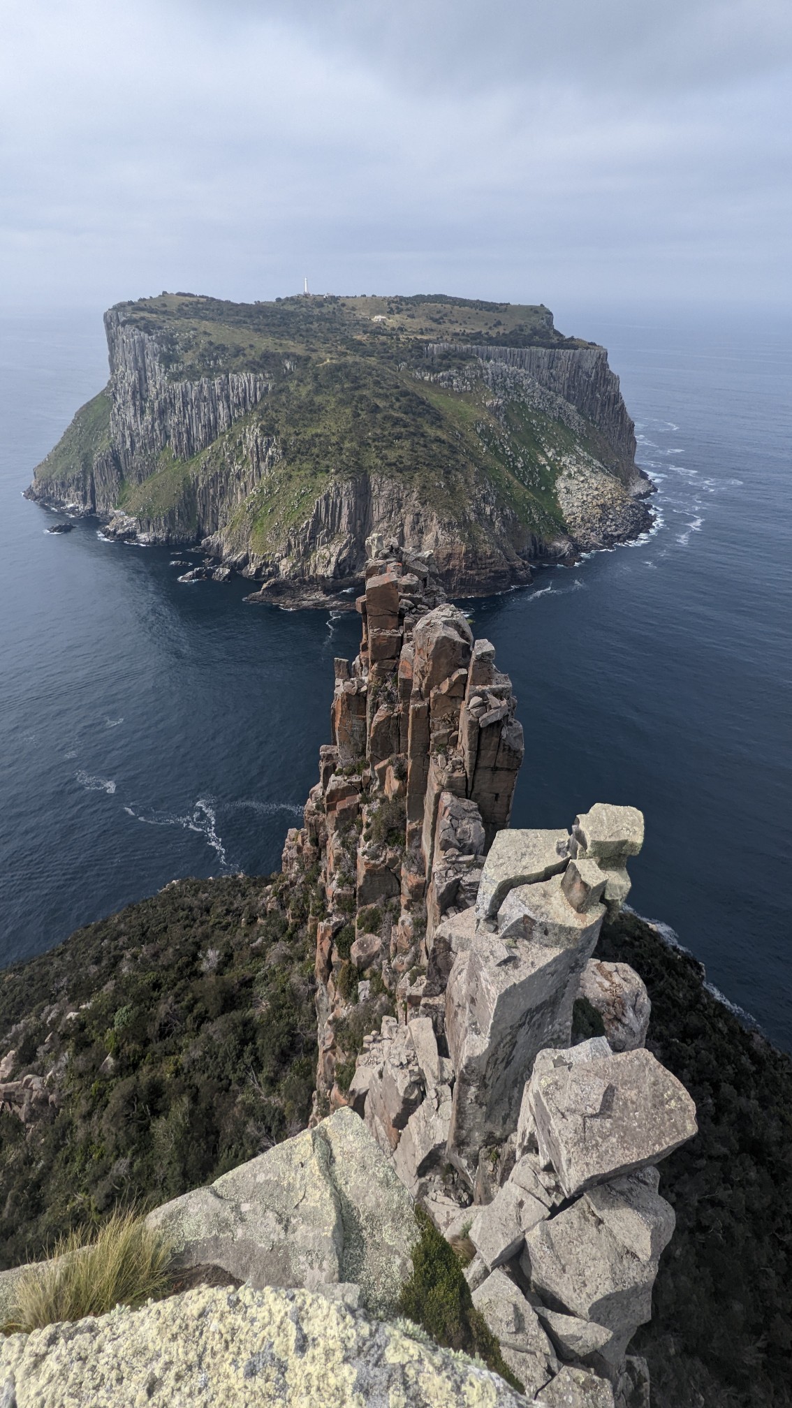
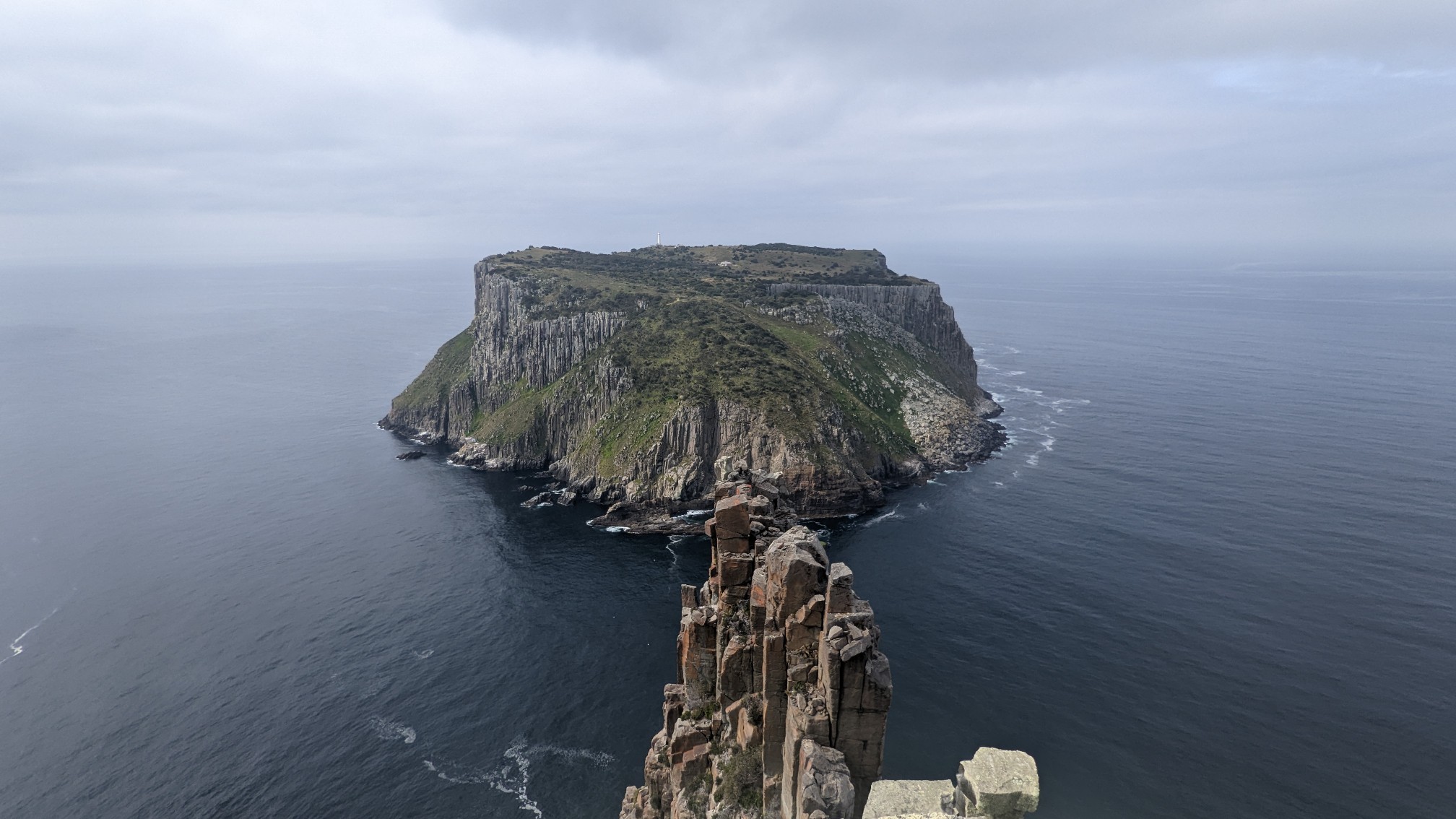
A wider view of Tasman Island and the Blade:
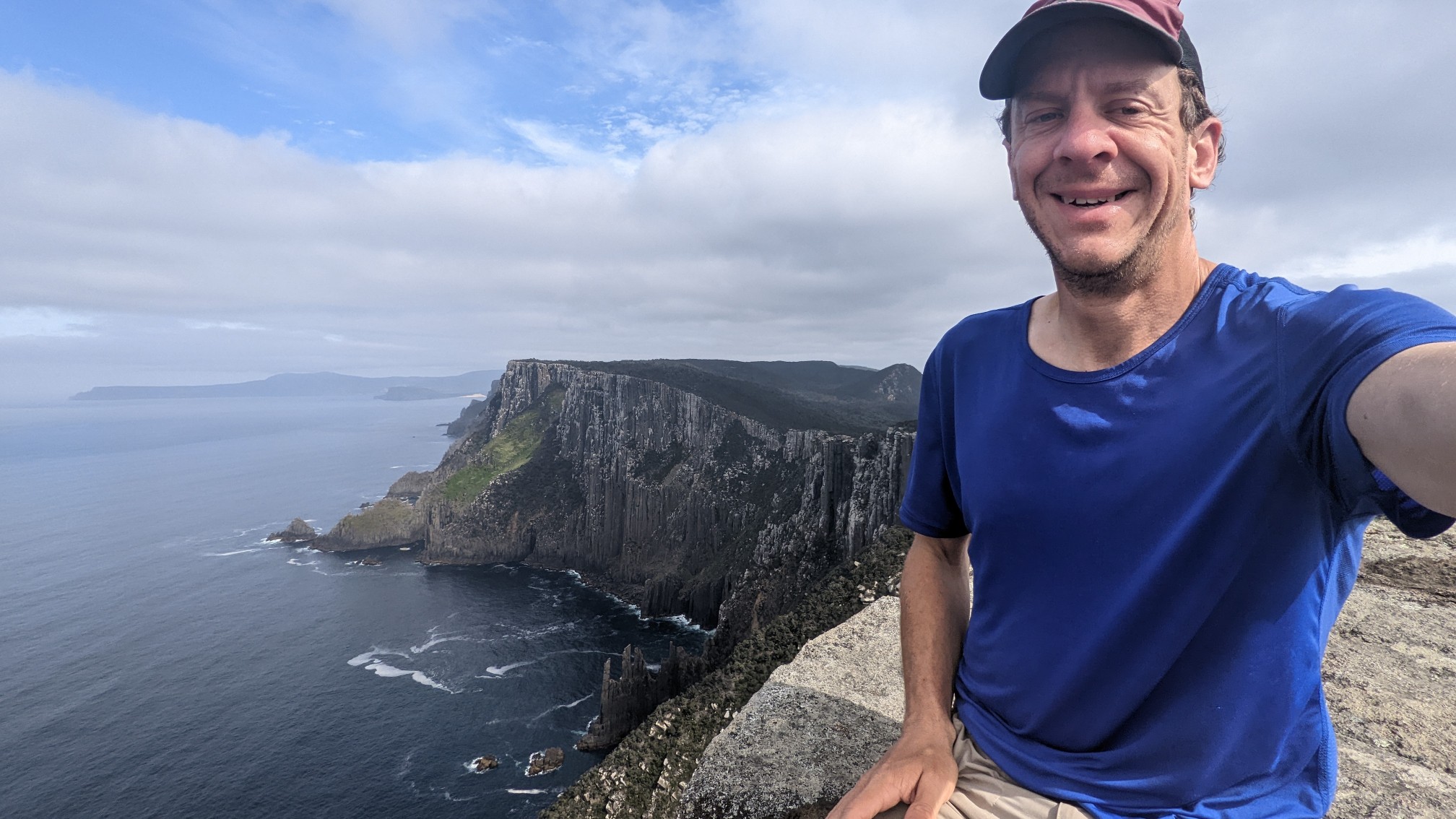
I found a nice sitting rock on the Blade!
Looking ahead to Cape Pillar:
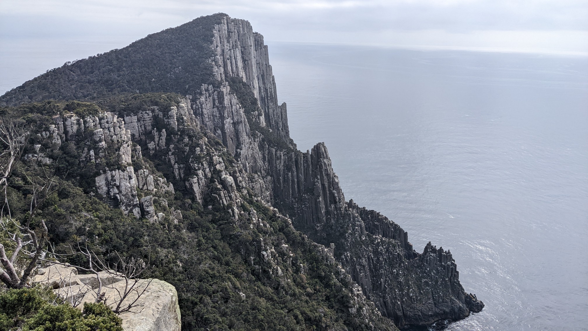
Impressive sea cliffs in every direction:
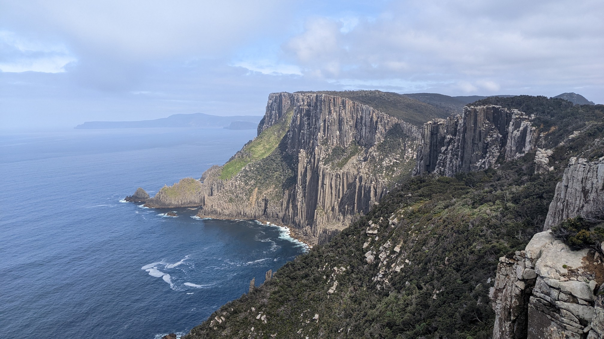
I hiked 10 more minutes over to Cape Pillar, and had a nice chat with a couple from the Sydney area (I think?). We talked about lots of different trails, including his plans to hike the PCT in 2024. It was a great spot to discuss the outdoors, ha!
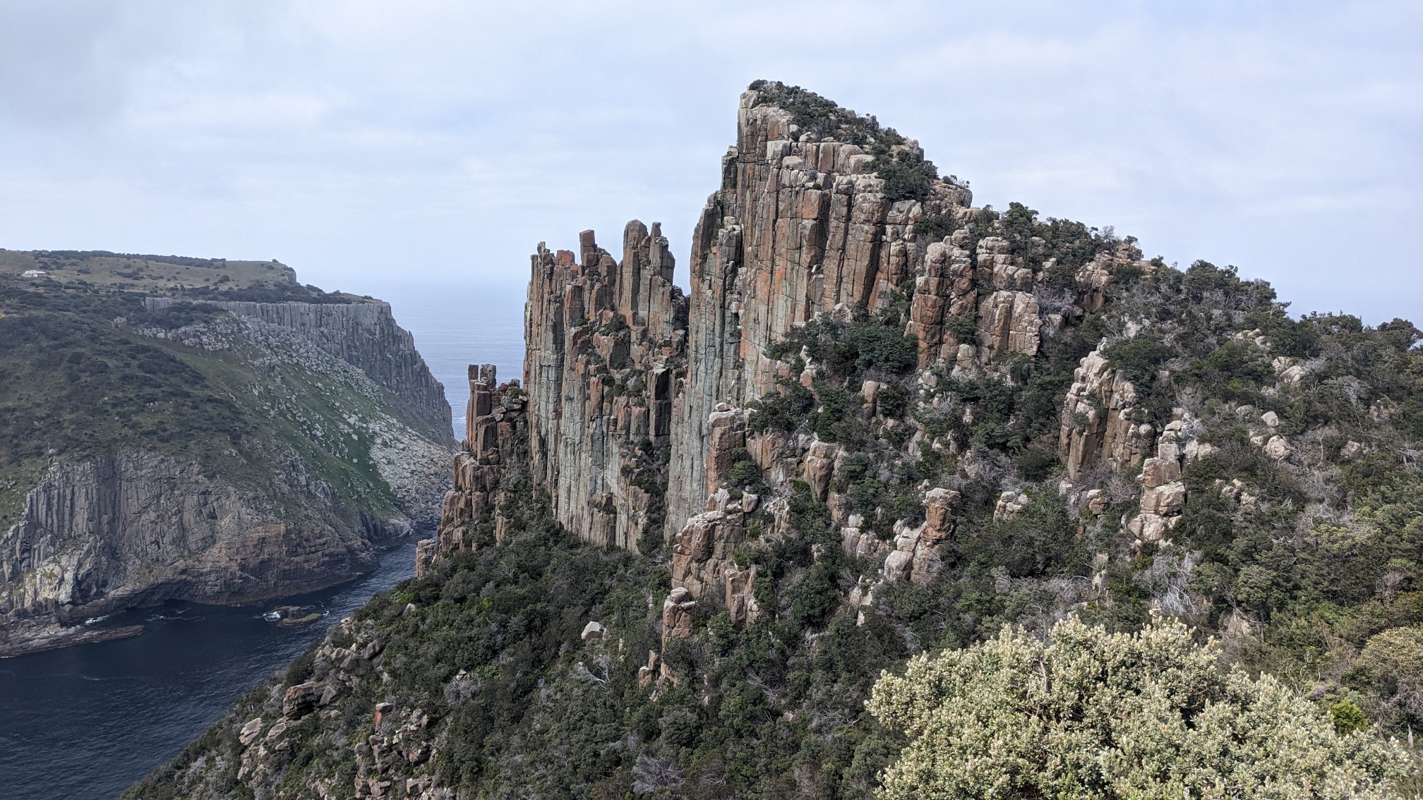
I could hear sounds coming from waaay below, apparently there are fur seal colonies on the rocks down there.
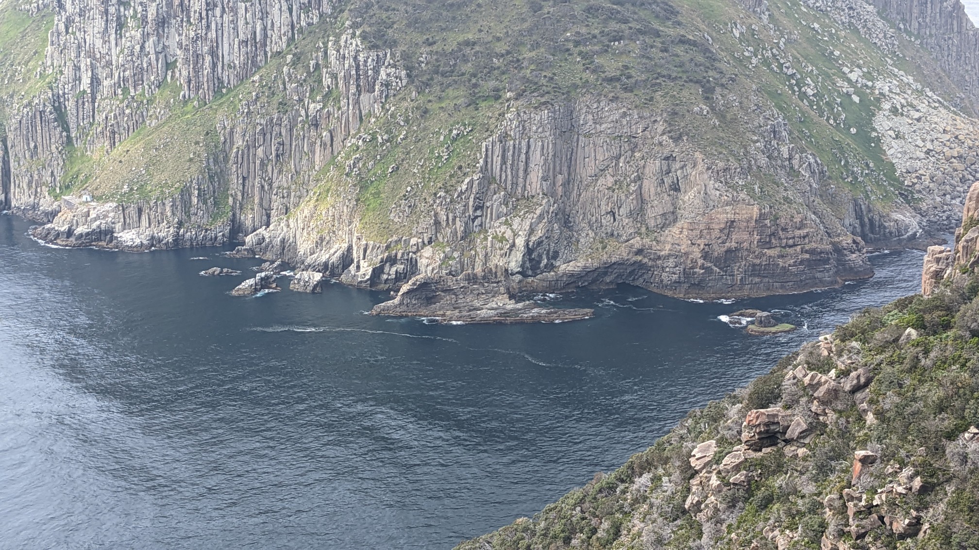
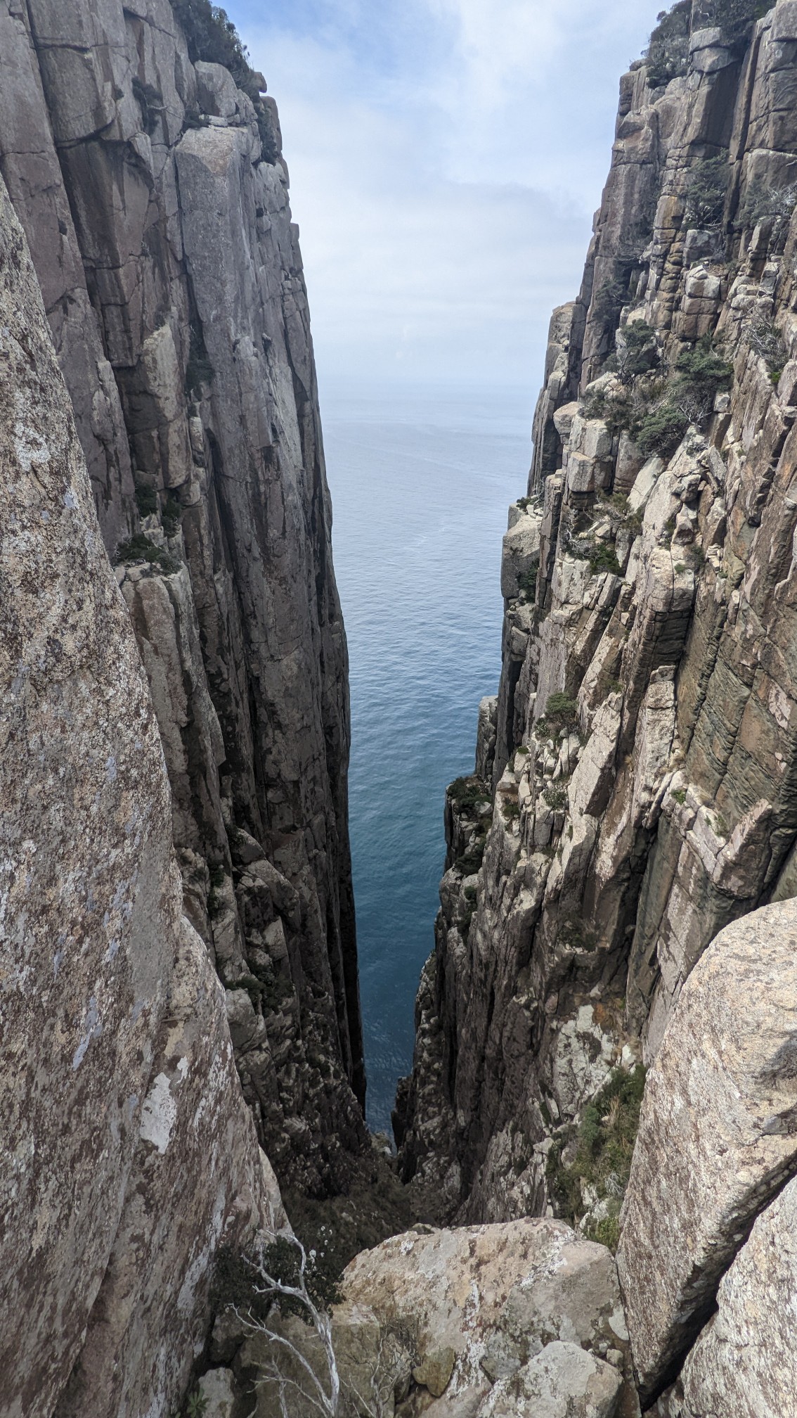
The trail ended at the Cape Pillar lookout, so the next 3 hours I backtracked to my tent. I caught a glimpse of a neat feature called “the chasm” which I had missed on the way earlier.
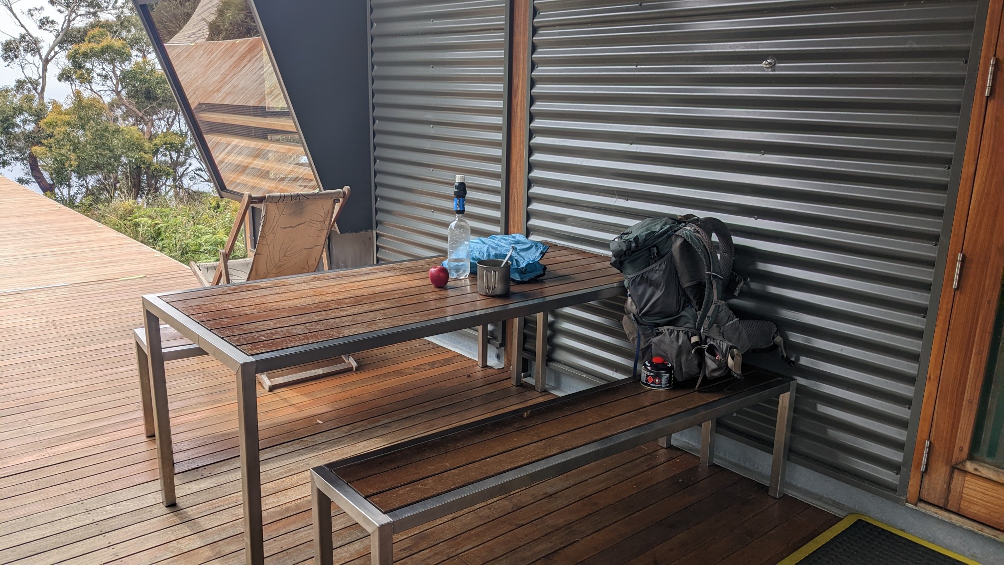
I went by Munro Hut again, and decided to have lunch there since it was after 12pm. I ate outside on the nice tables.
The inside dining area was super fancy, but too warm to eat in there.
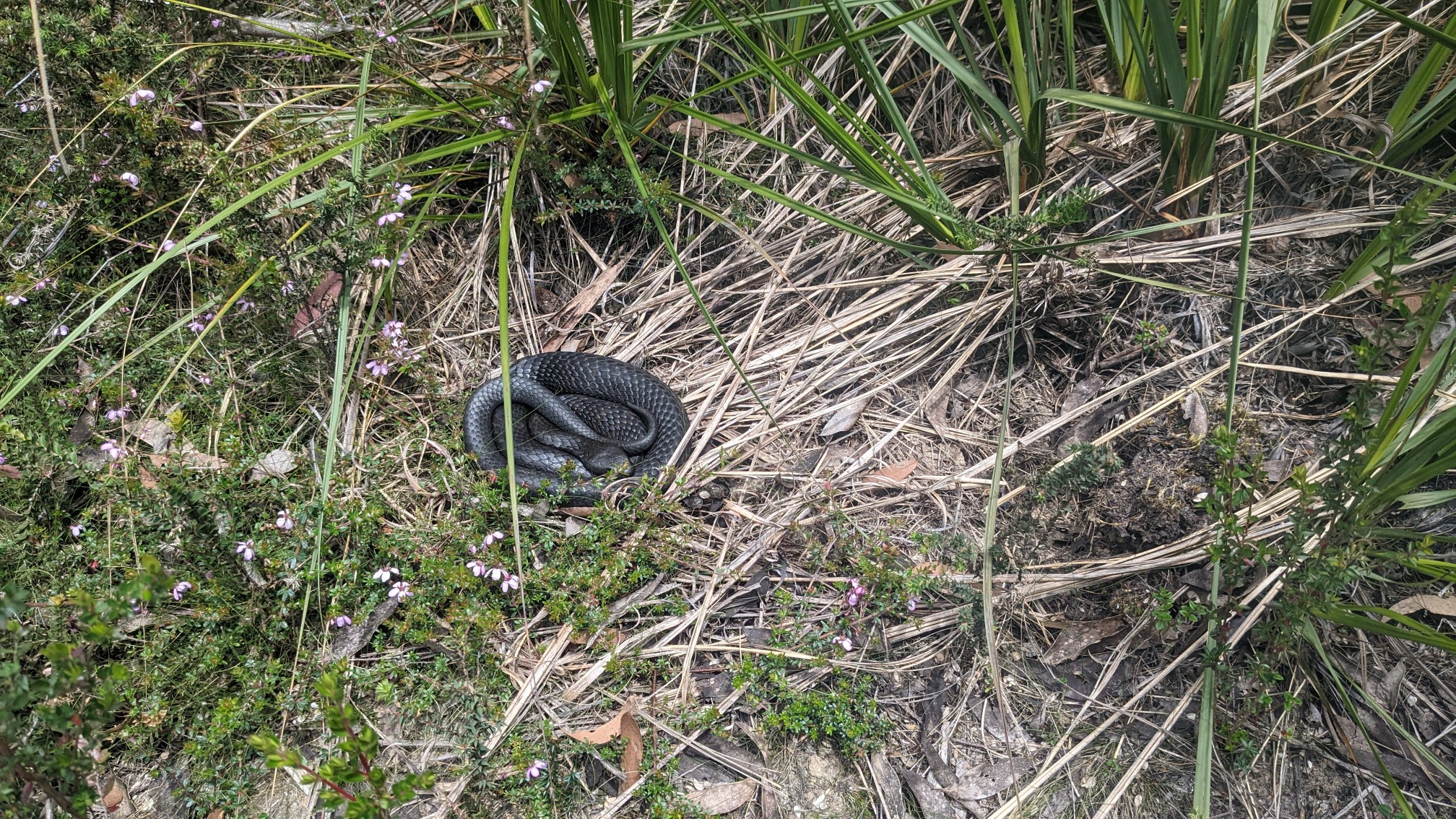
Just after leaving the hut, I saw my first Tasmanian snake! There are only 3 species of snake living in Tassie, so I assume this one was a Tiger Snake.
When I reached the Bare Knoll Campsite again, it was a quick task to pack up my tent. Now with a heavier pack, I hiked by Retakunna Hut.
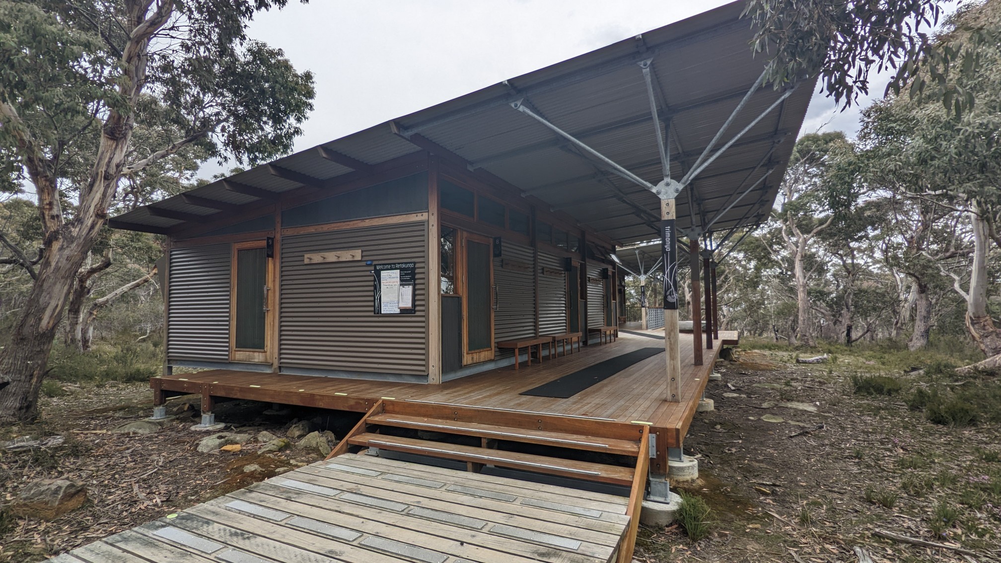
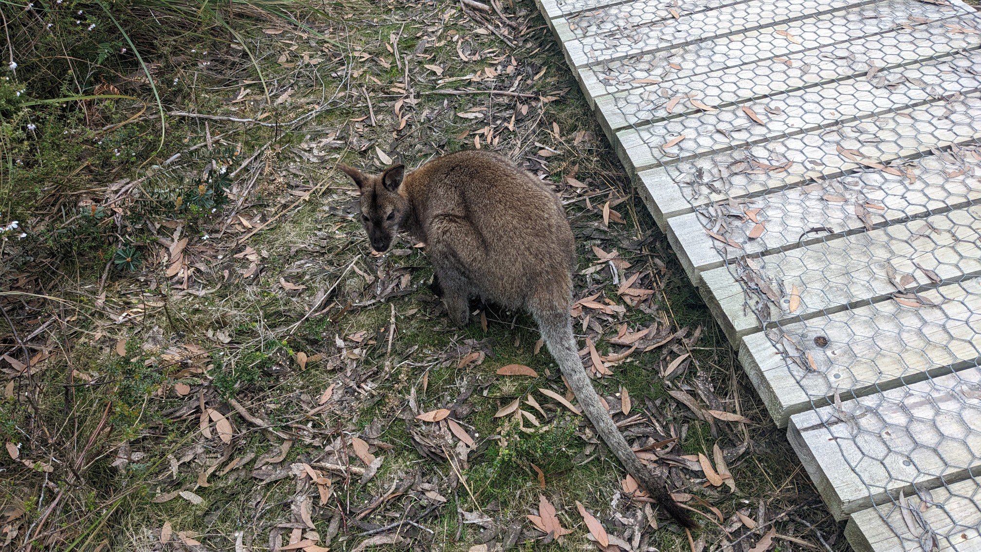
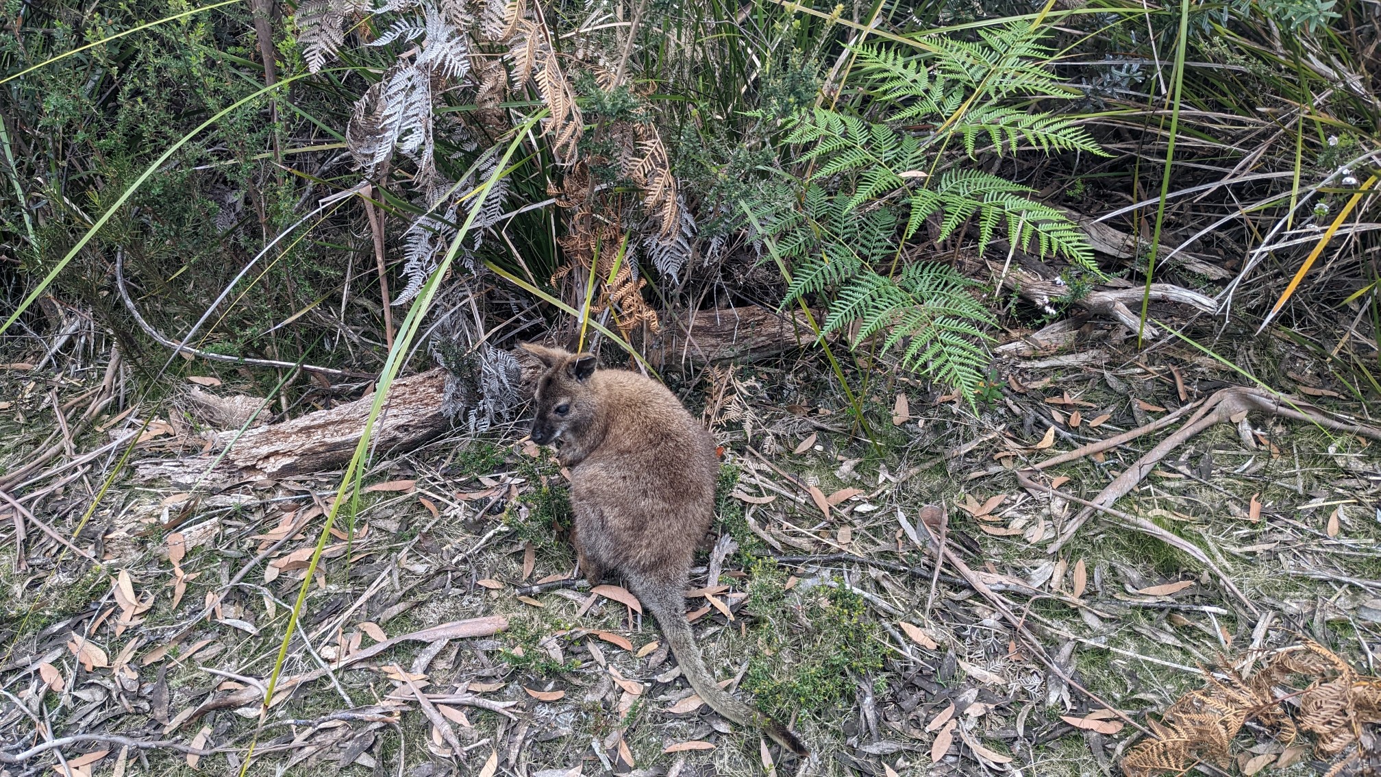
There wasn’t anybody there yet, as all the glampers were still out walking. I saw a couple of furry friends nearby.
As I climbed up and over Mt Fortescue, the forest became very mossy and green.
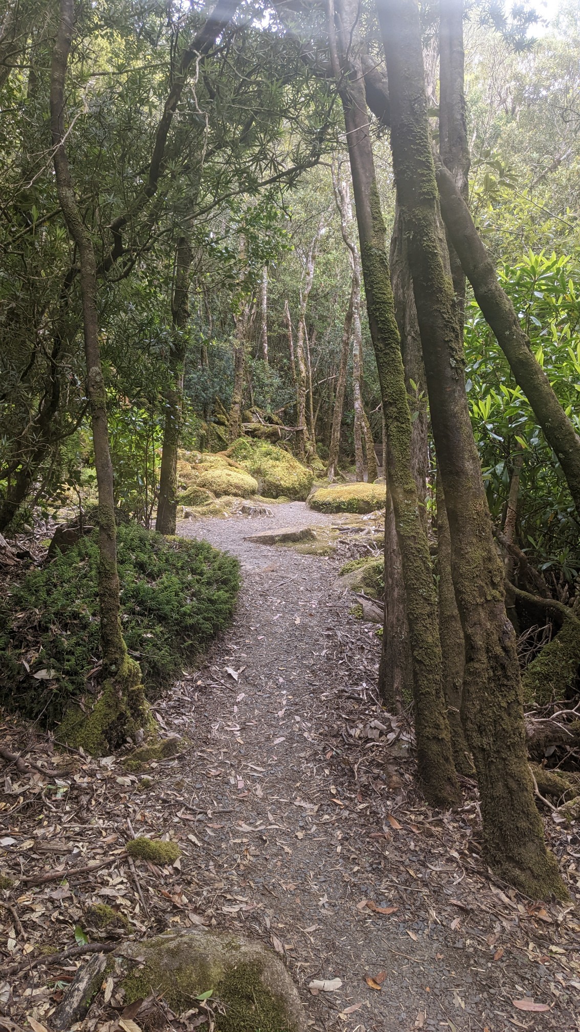
It was like a rainforest!
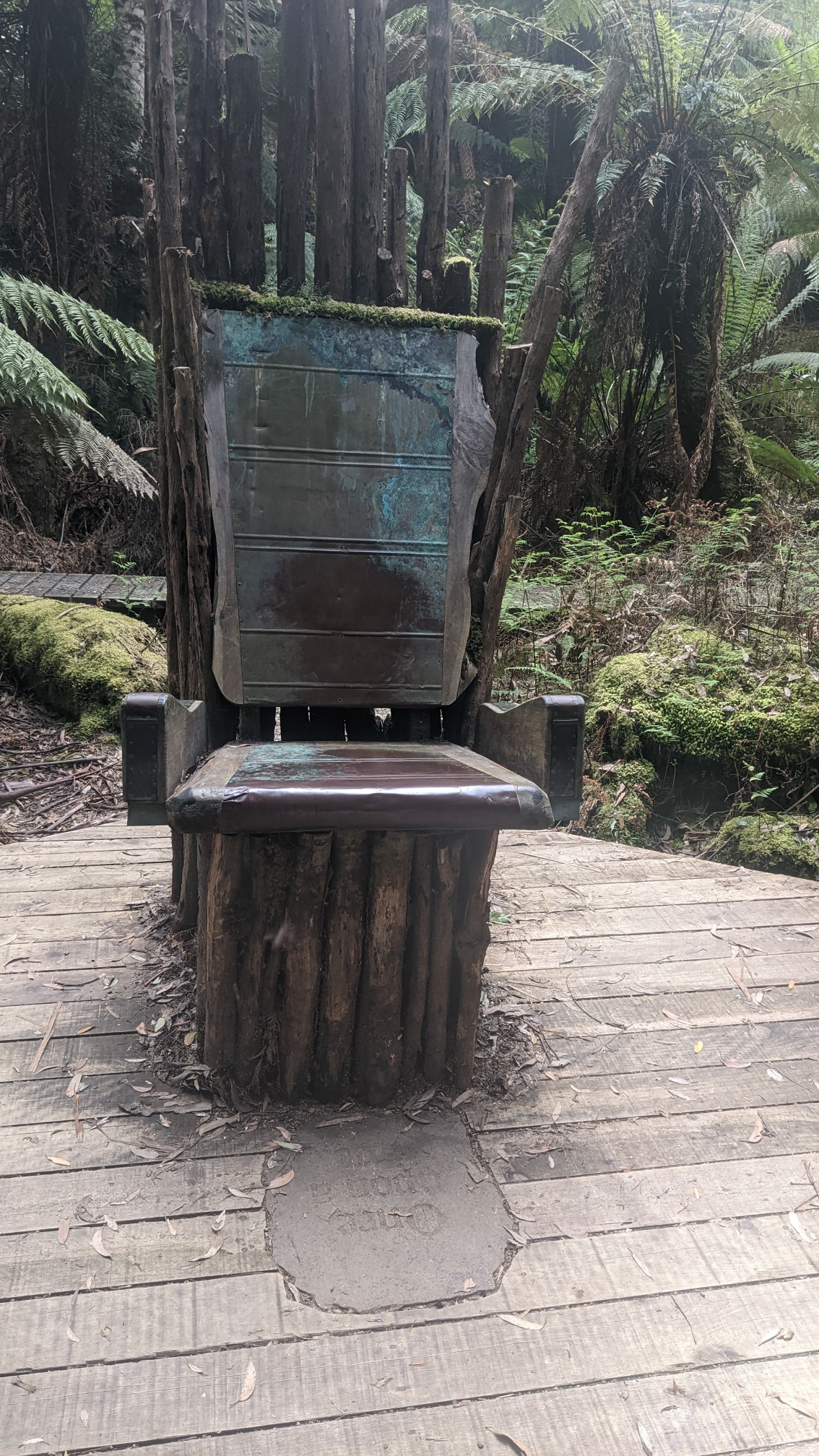
There were more of those random bizarre objects, in this case a giant copper-clad chair.
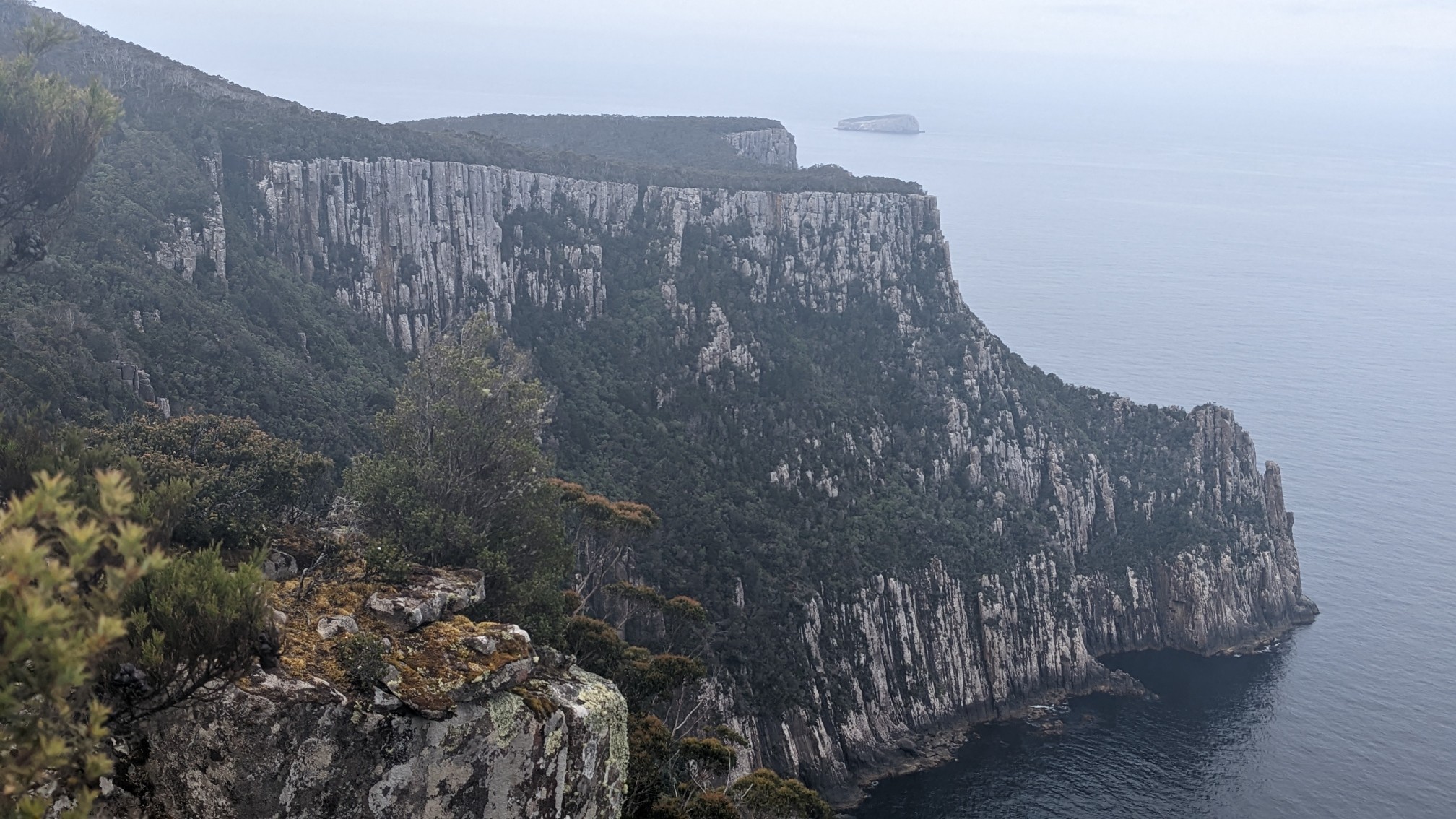
As I got closer to Cape Hauy, the trail emerged from the forest at a lookout. Looking ahead:
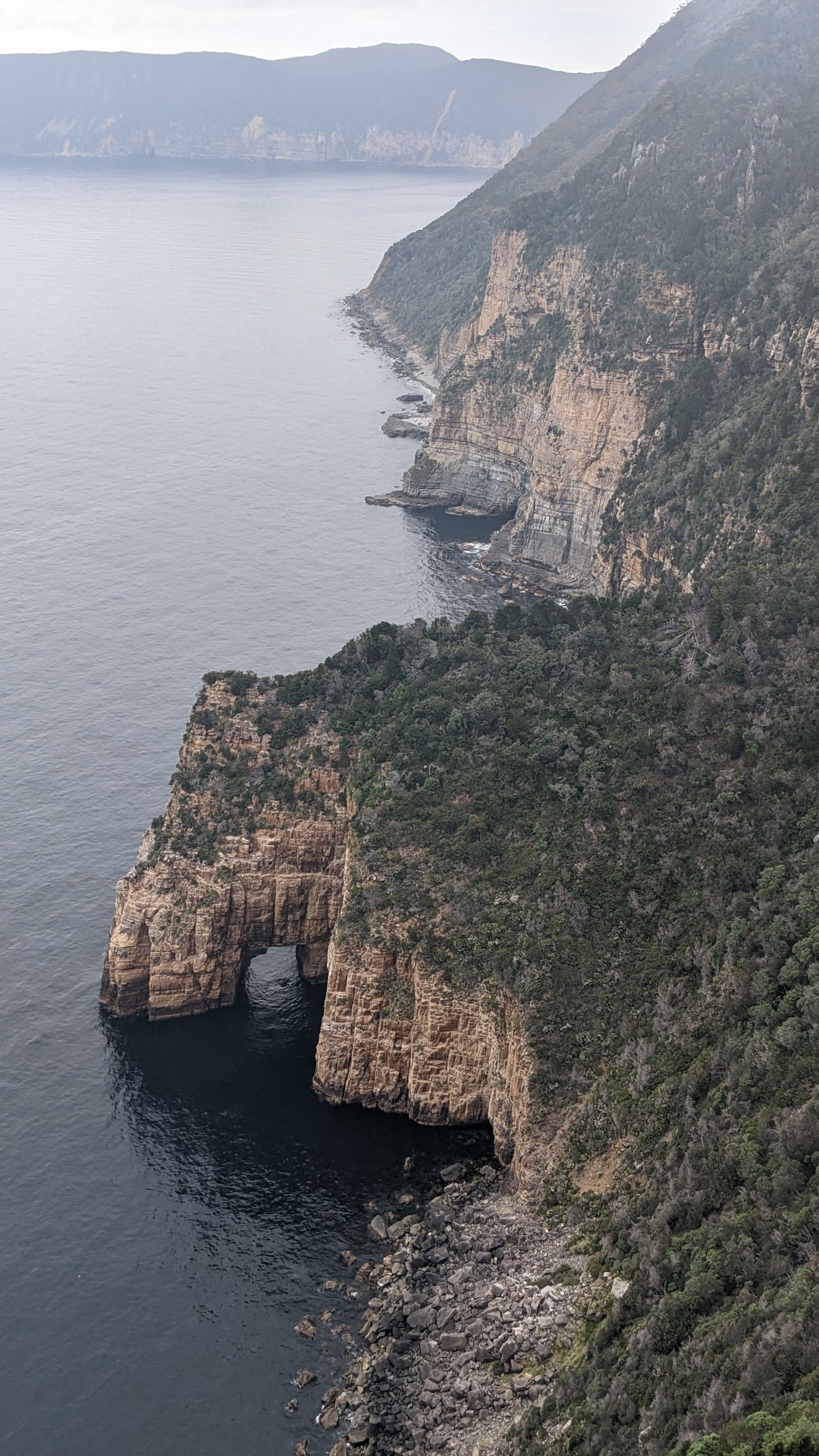
And just underneath me was an arch in the rock!
Soon I was at the turnoff to Cape Hauy, a 1.6km out&back. This short trail was surprisingly hilly.
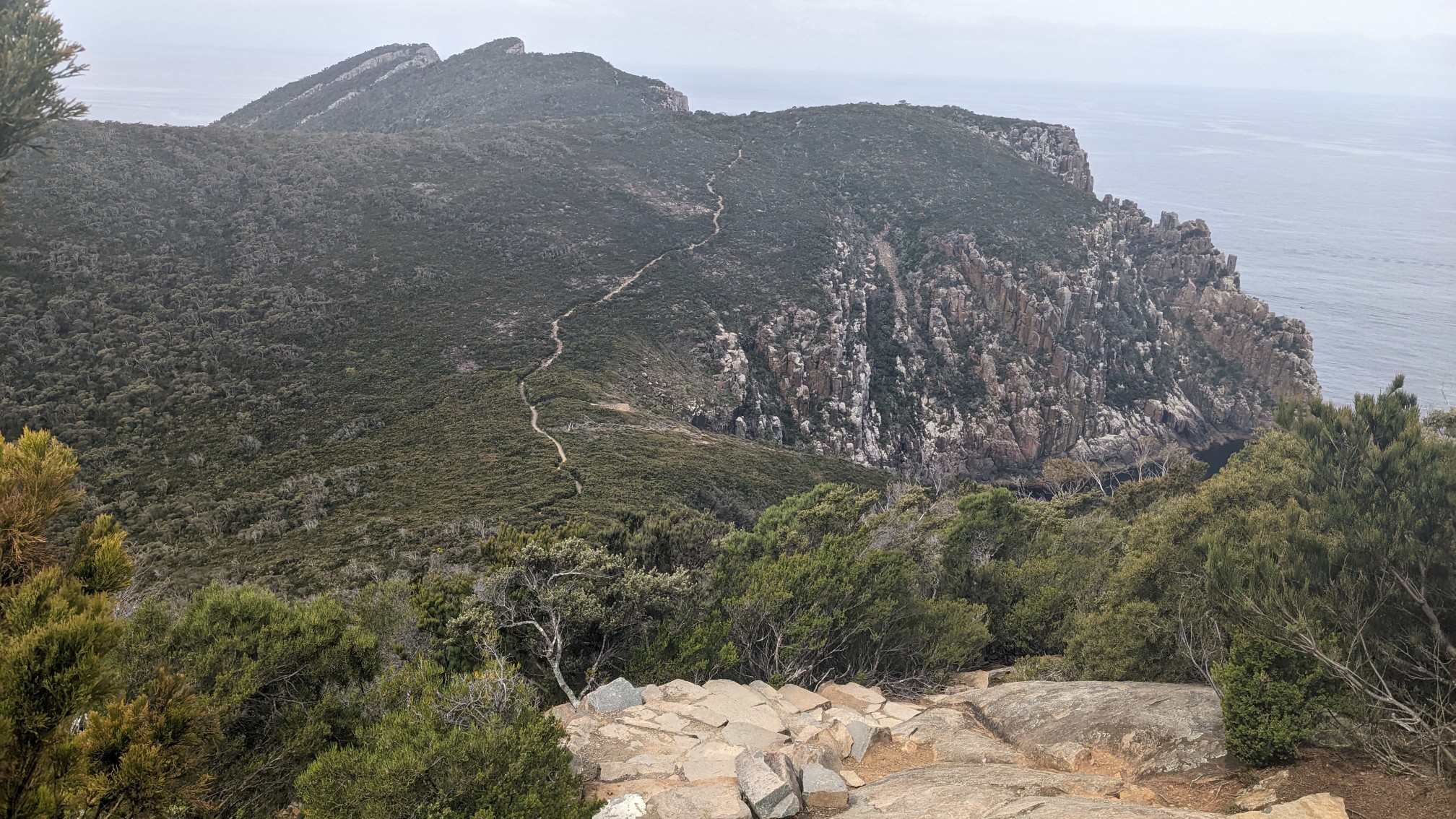
It descended and re-climbed three times, with lots of stairs.
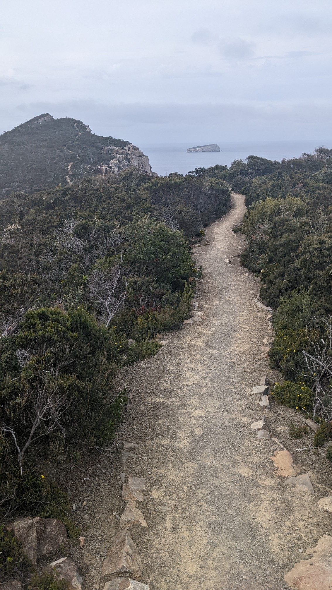
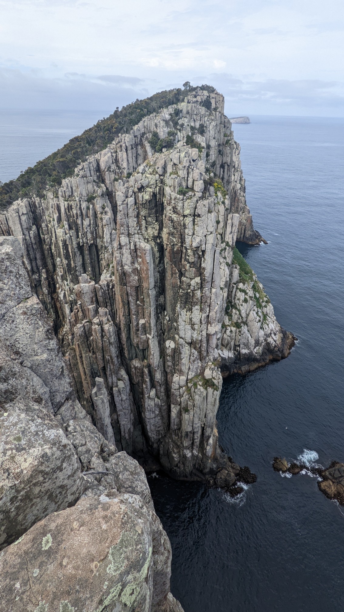
Cape Hauy!
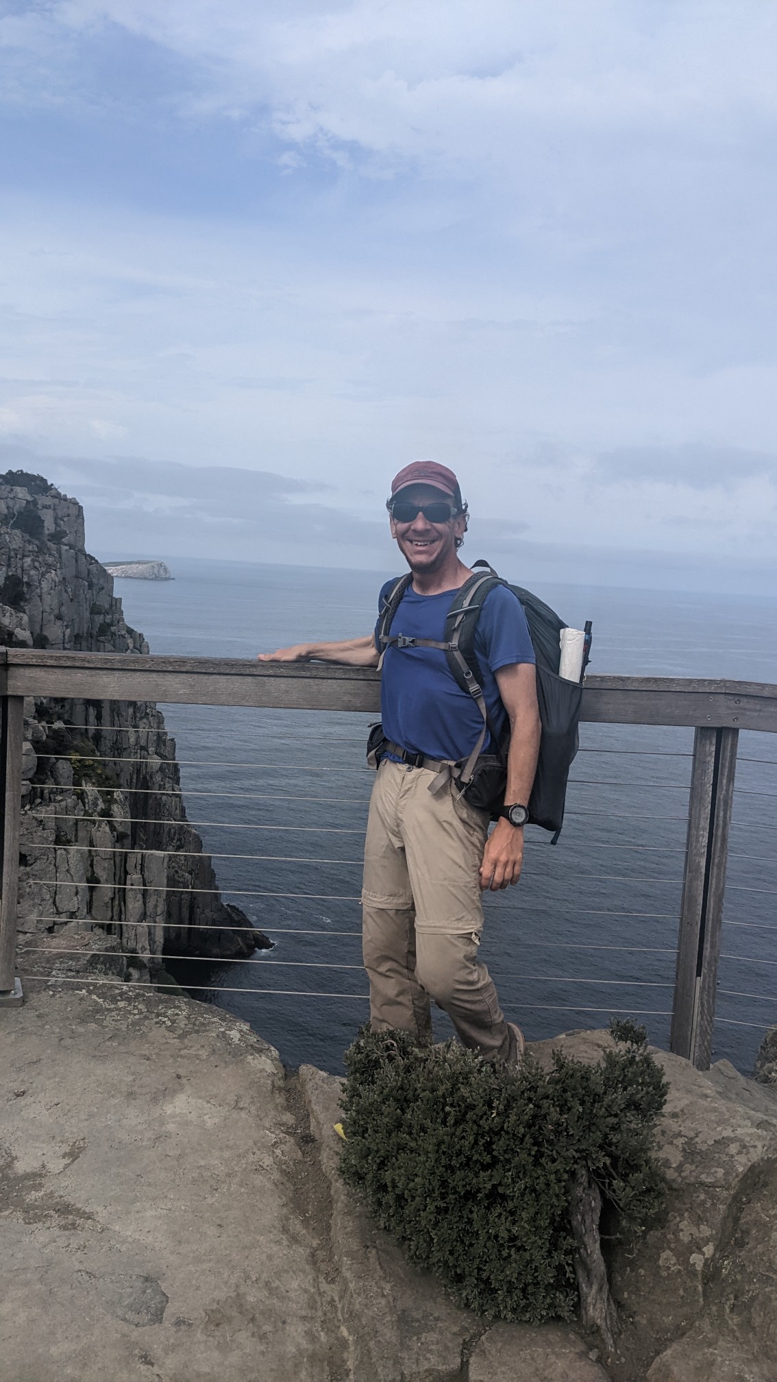
A family just happened to be there when I arrived, and we exchanged photography services.
The hike back to the junction was just as slow and hilly, though I got some interesting views of Fortescue Bay (where I will finish).
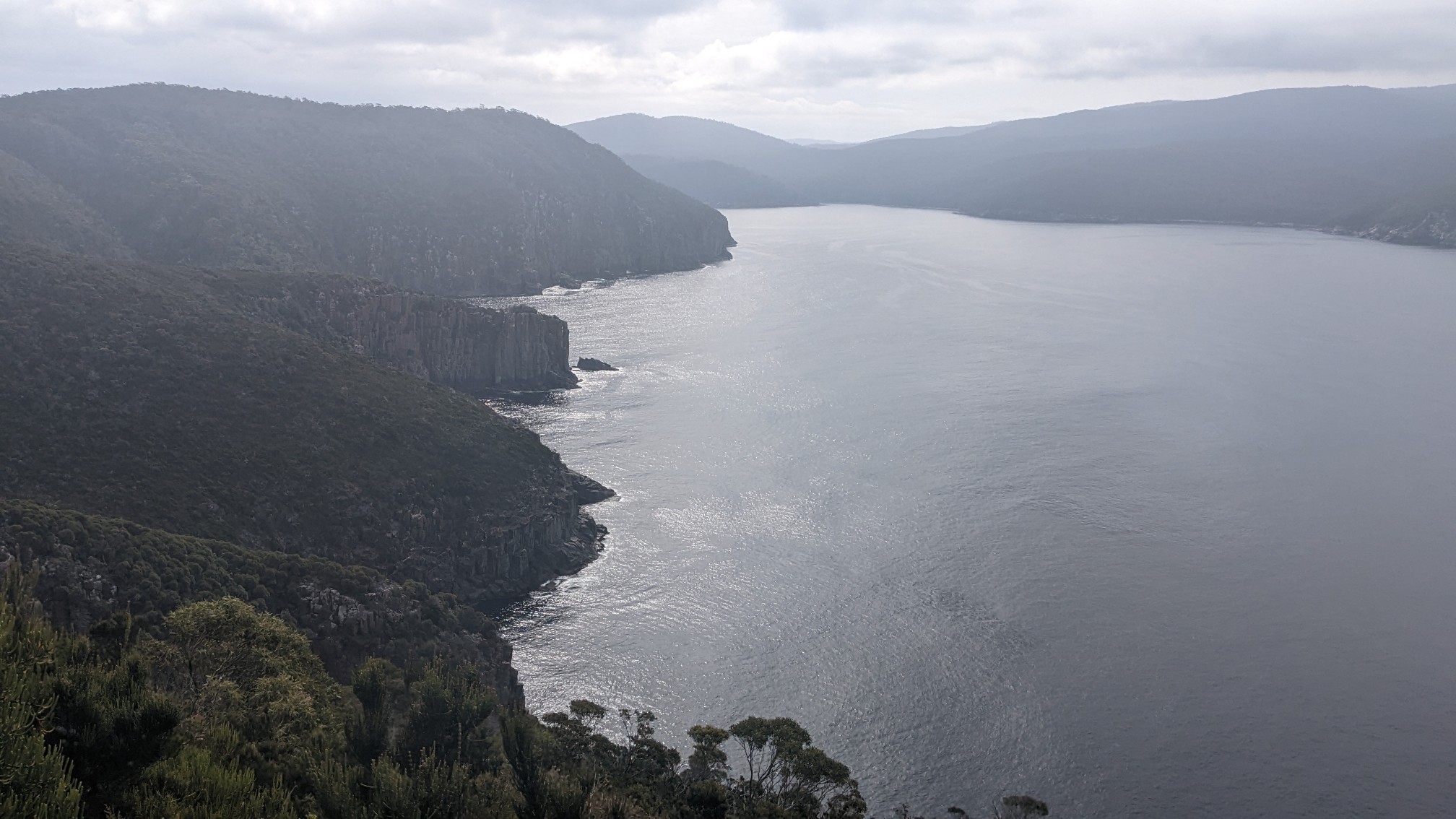
And 30 minutes later, I passed the finish marker!
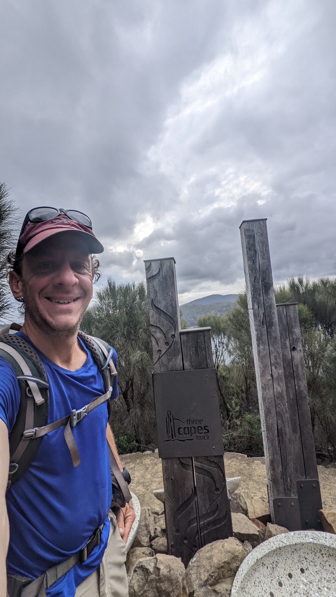
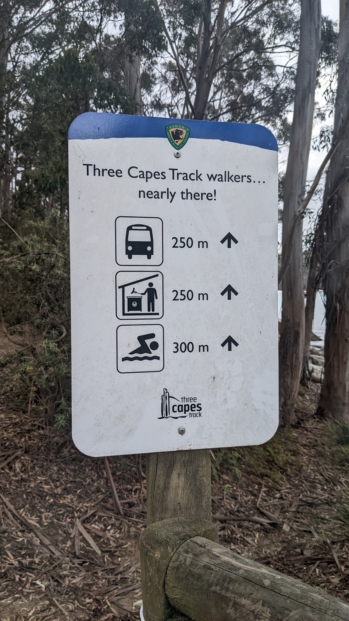
Strangely, it was still another kilometer to the actual finish, and these signs kept counting down the distance.
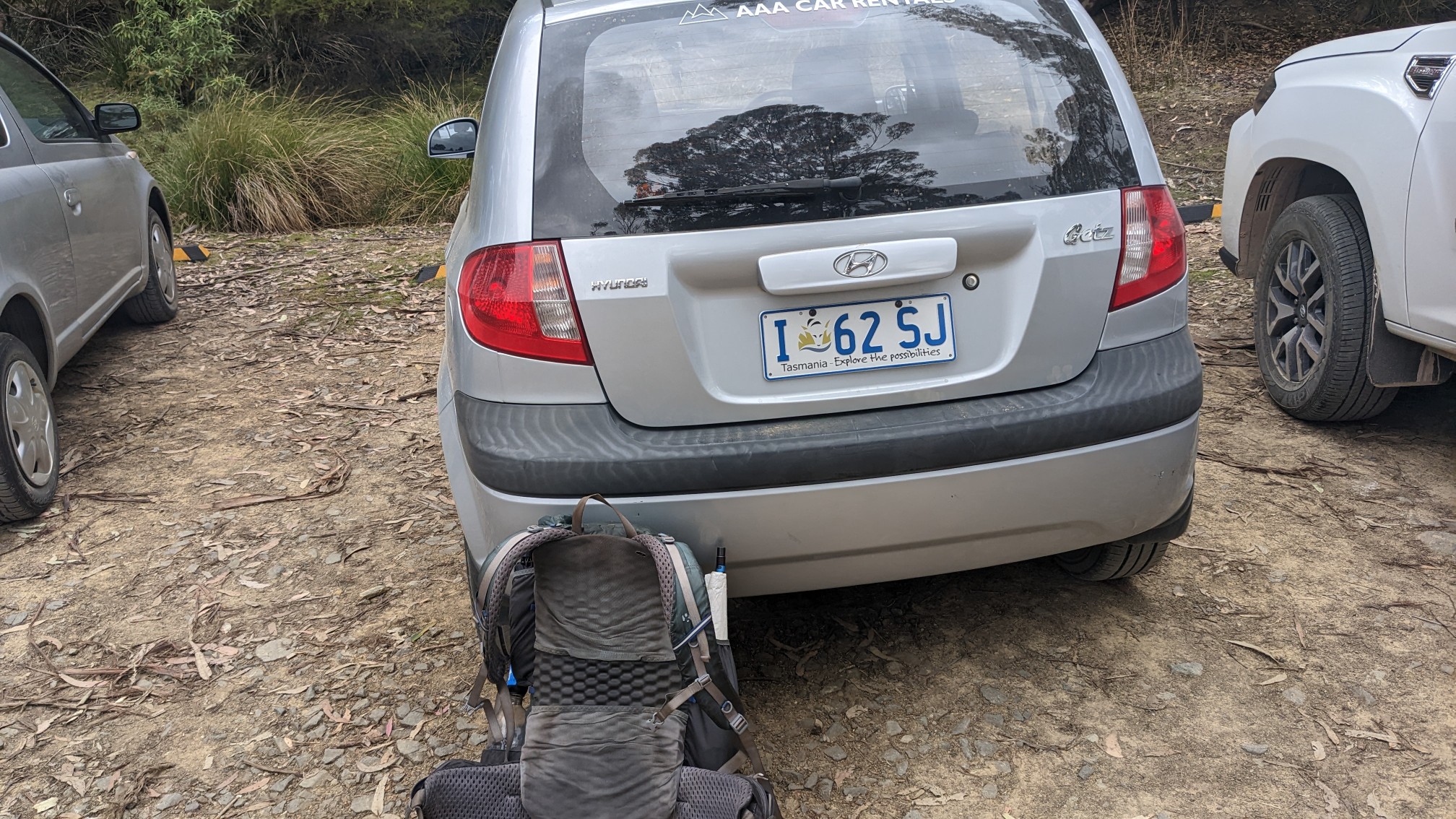
I was reunited with the car at 6pm. After signing out of the trail register and eating some snacks, I started driving the 1.5 hours back to Hobart.
I had checked the weather forecast earlier, and tomorrow is a rainy day. I’ll spend tonight in a hostel called Montecute, and do some touristy things around Hobart tomorrow. A day off from hiking!
What an interesting track with so many unique features along the way!
And hiking the track is shorter than swimming 😉