Monday May 8, 22.2mi/35.7km
Halls Creek (NA/3800ft) to Coyote Gulch (299.4/3810ft) (UT)
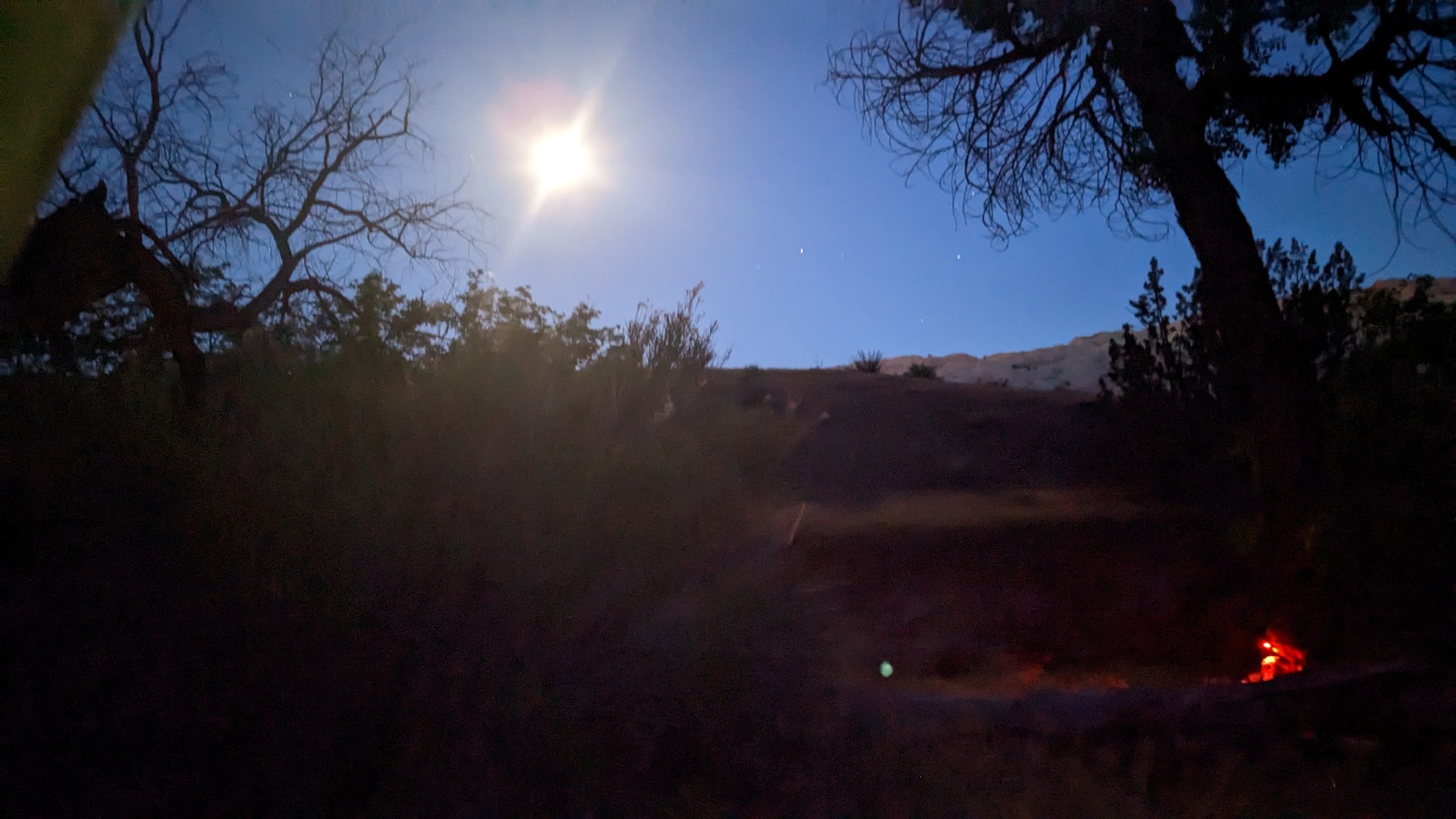
We got an early start, hiking out at 6am in headlamps. It was a 2000ft climb to the top of the Waterpocket Fold, and we wanted to have that finished before it got hot. The nearly-full moon was a cool sight.
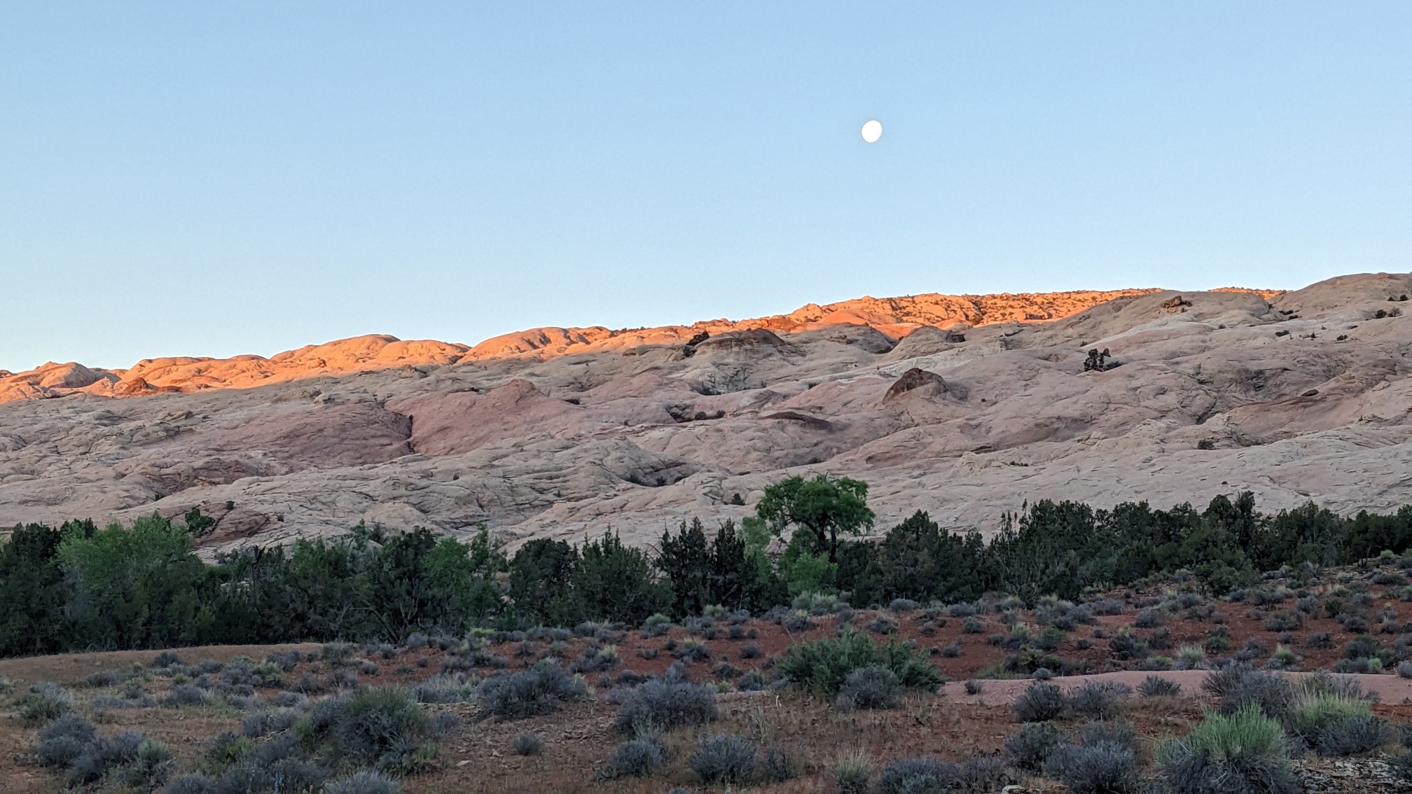
We had a couple of miles of Halls Creek to finish before starting the climb, and it was strange seeing the moon against the sunrise on the rocks.
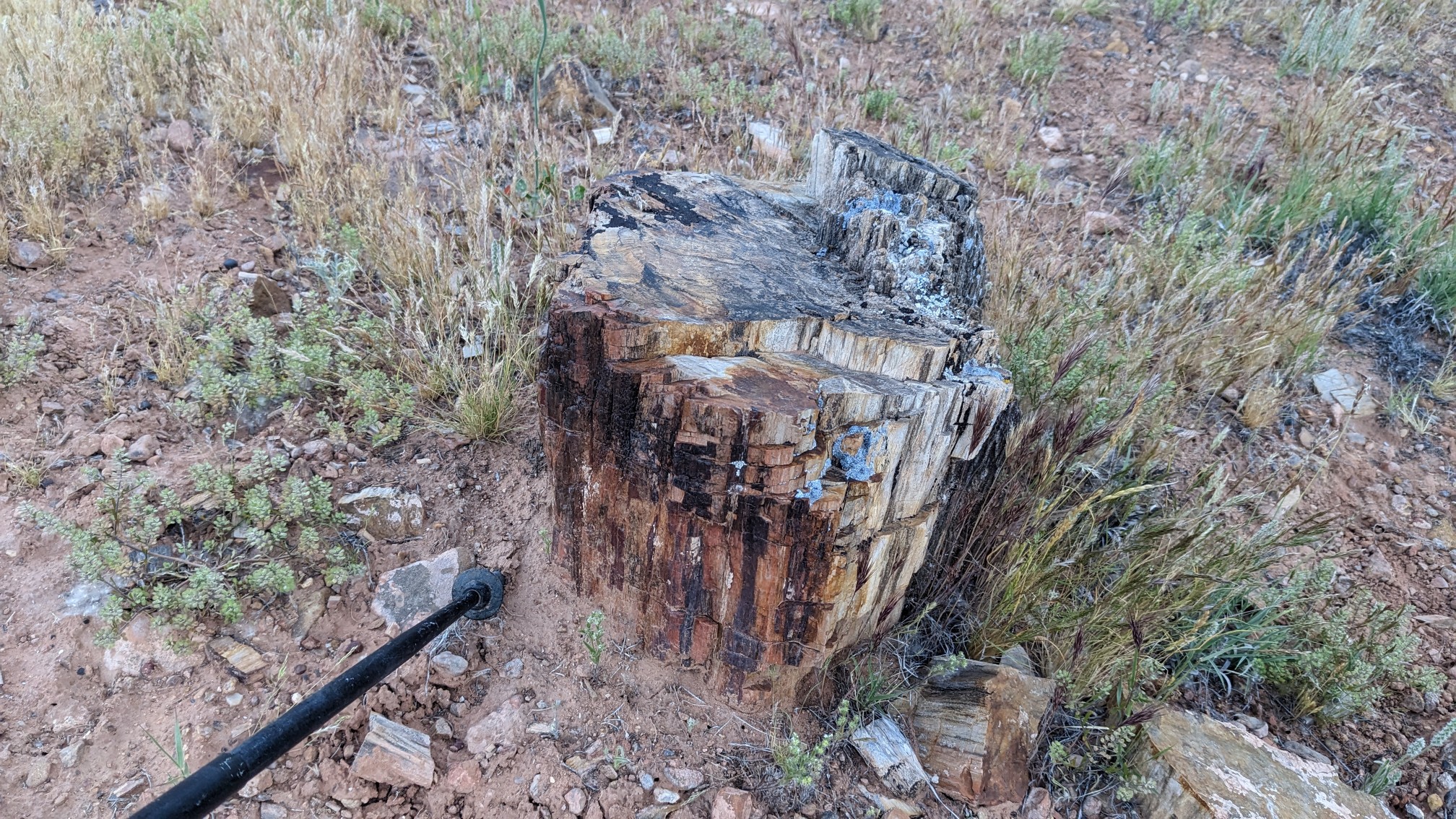
I found a huge piece of petrified wood lying near the stream!
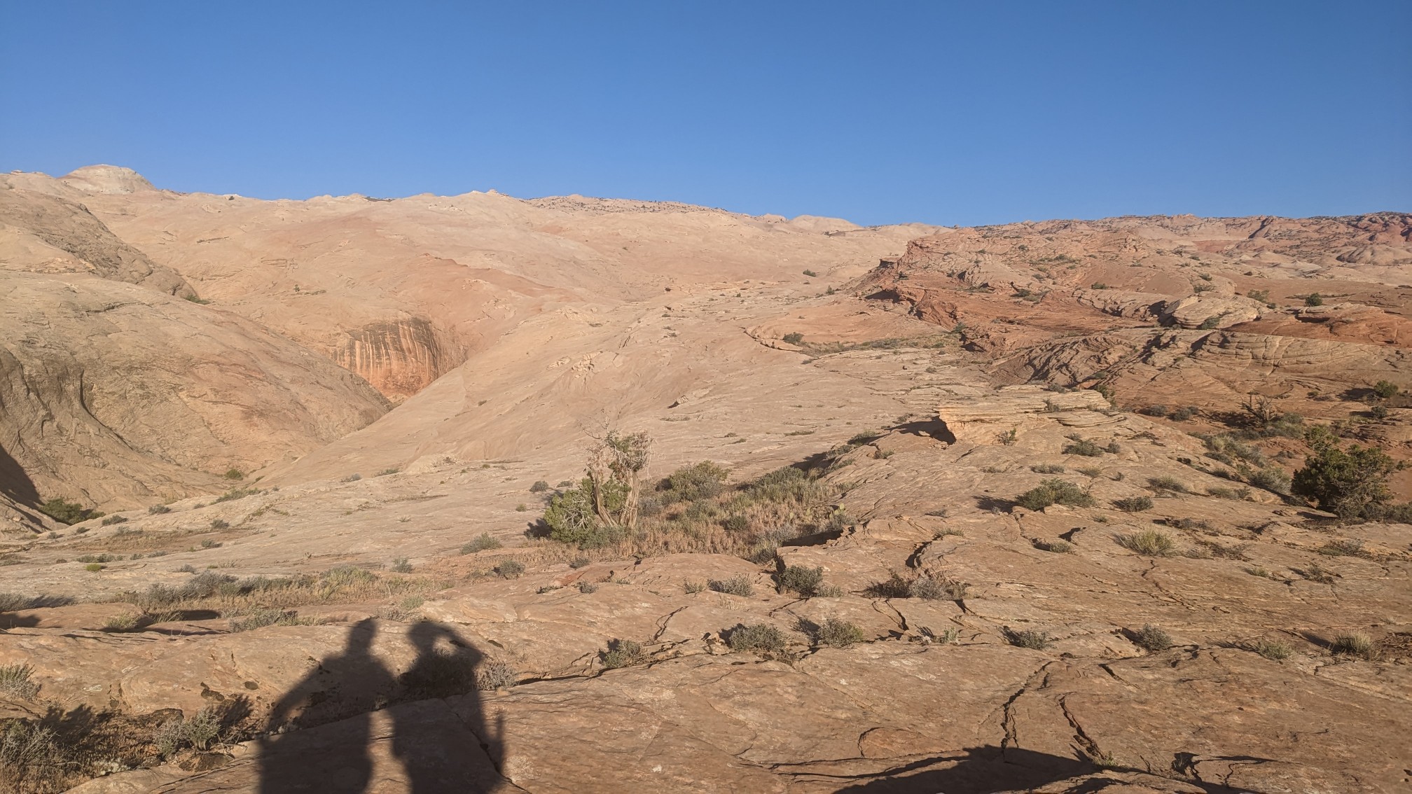
We had a short break and inspected the climb, choosing our route thru the slickrock.
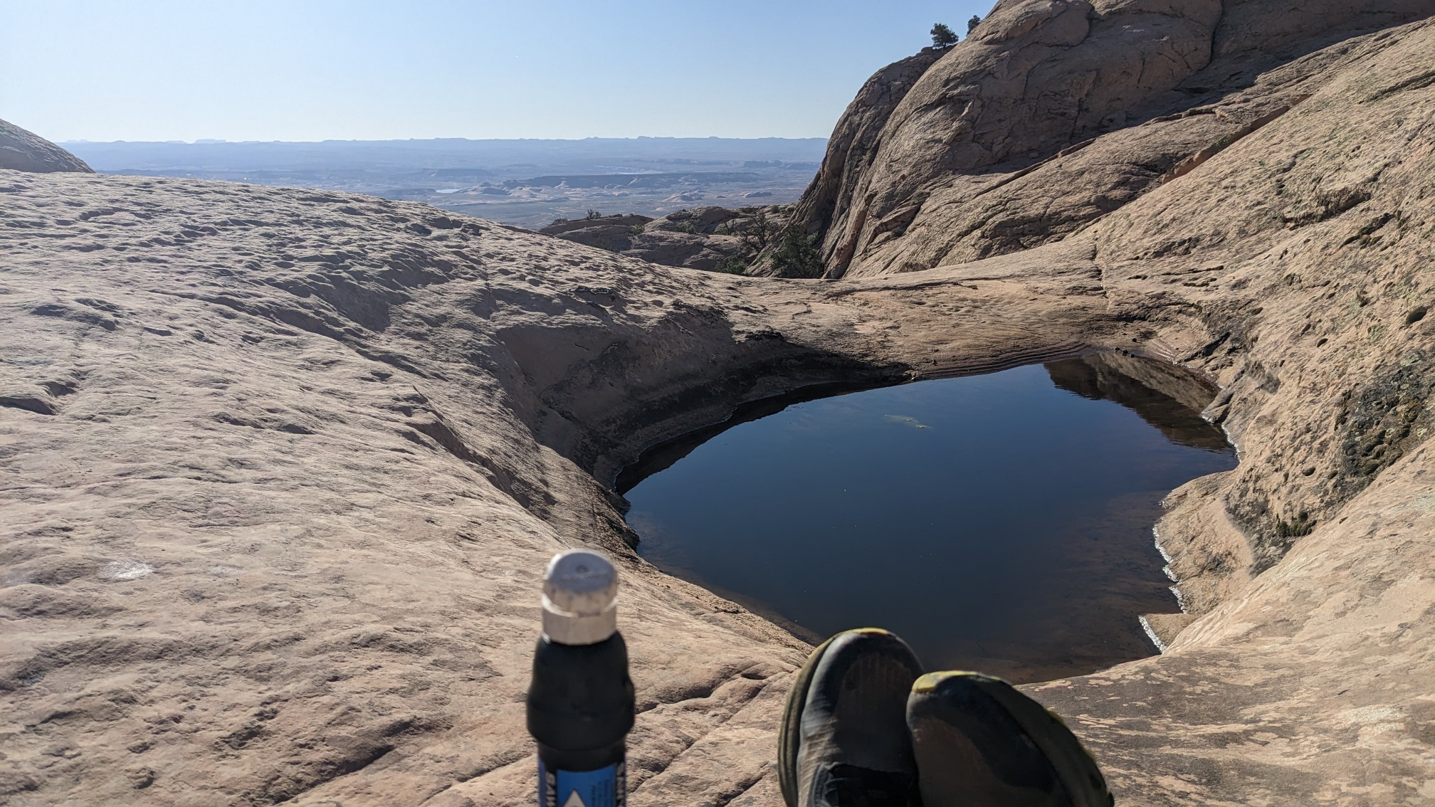
About halfway up the climb there was a surprise water source! Shadow had found a pothole in the rock, so it was a great excuse for a break.
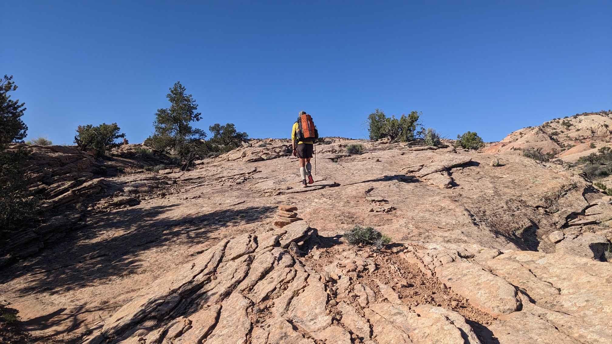
We kept going up the slickrock for another mile, and it was easier than the bottom half, as there were more cairns to follow and it wasn’t as steep.
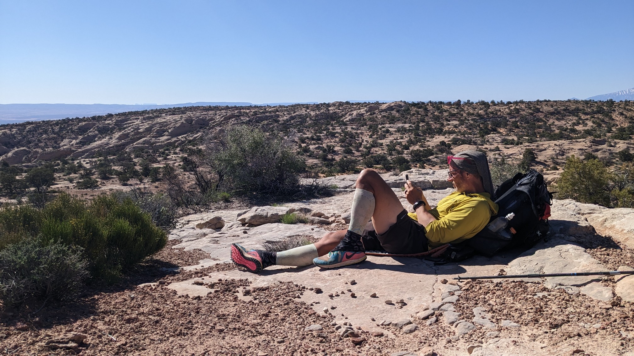
We took a long break at the top, since there was phone signal, and we needed some info on our upcoming descent thru Stevens Canyon.
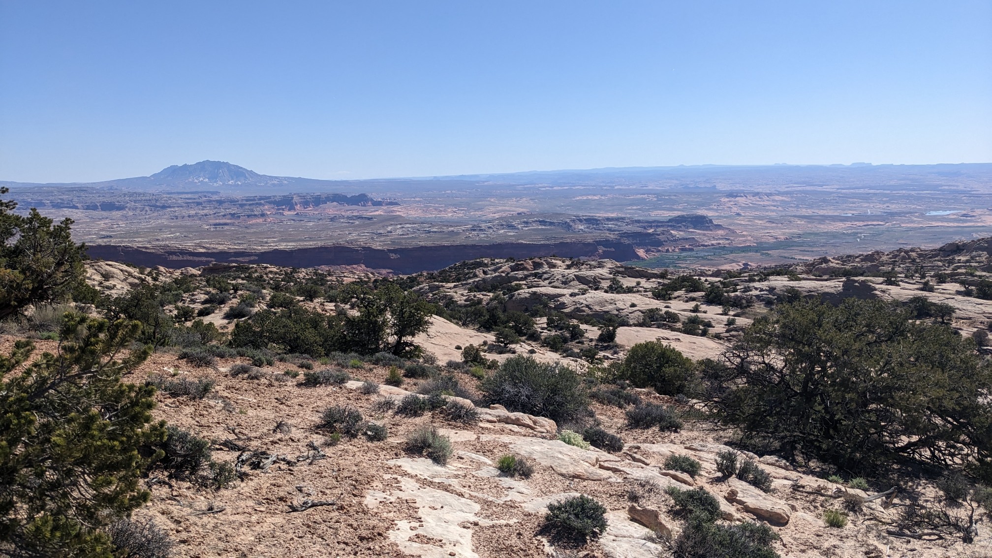
I loved looking at the view back to the east, I could see the Colorado River, a ton of canyons and plateaus, and even a small town.
Finally we got moving again, beginning our descent into Stevens Canyon. It started out in a shallow wash…
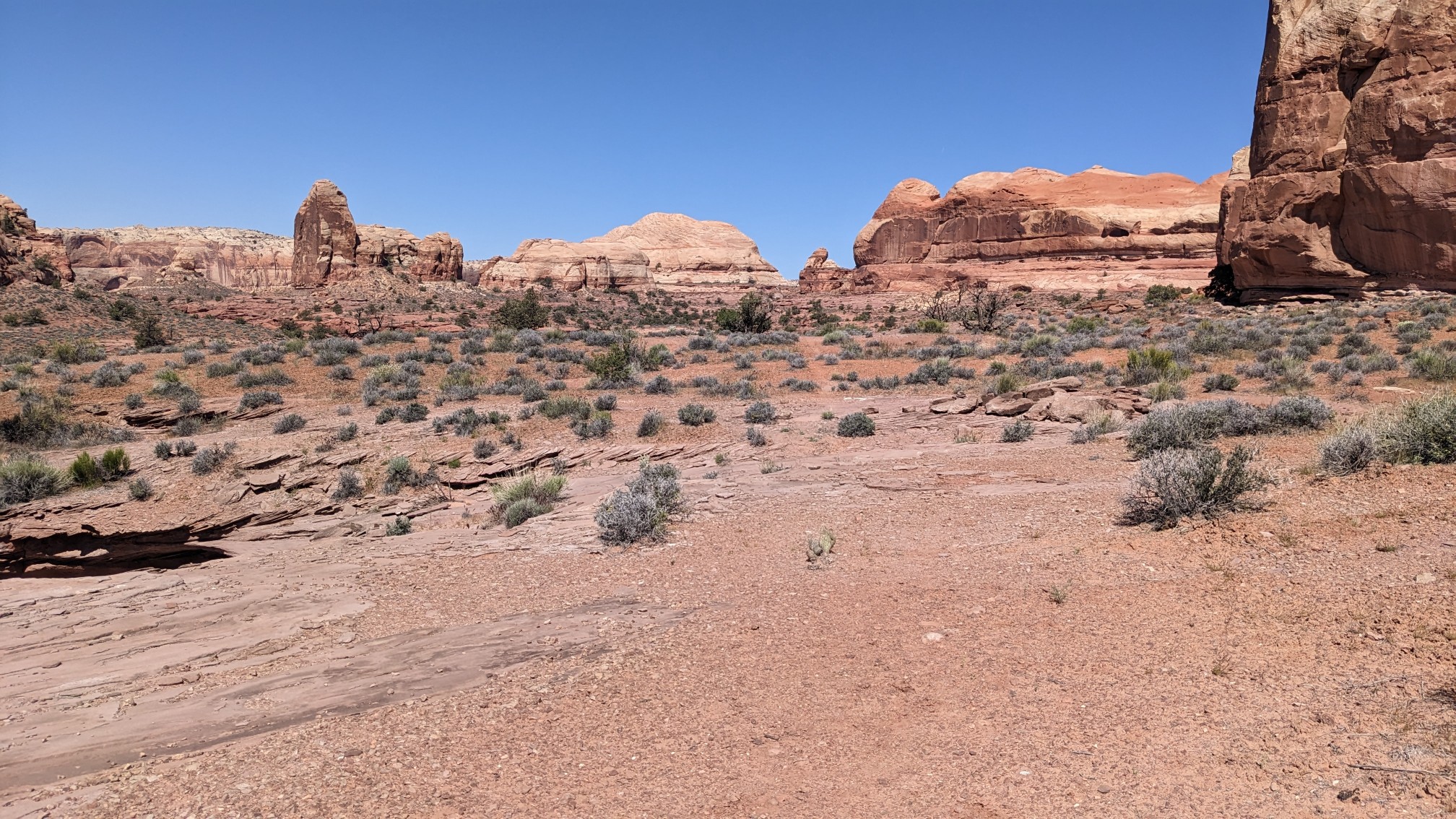
…which gradually became more entrenched in the rock as we continued.
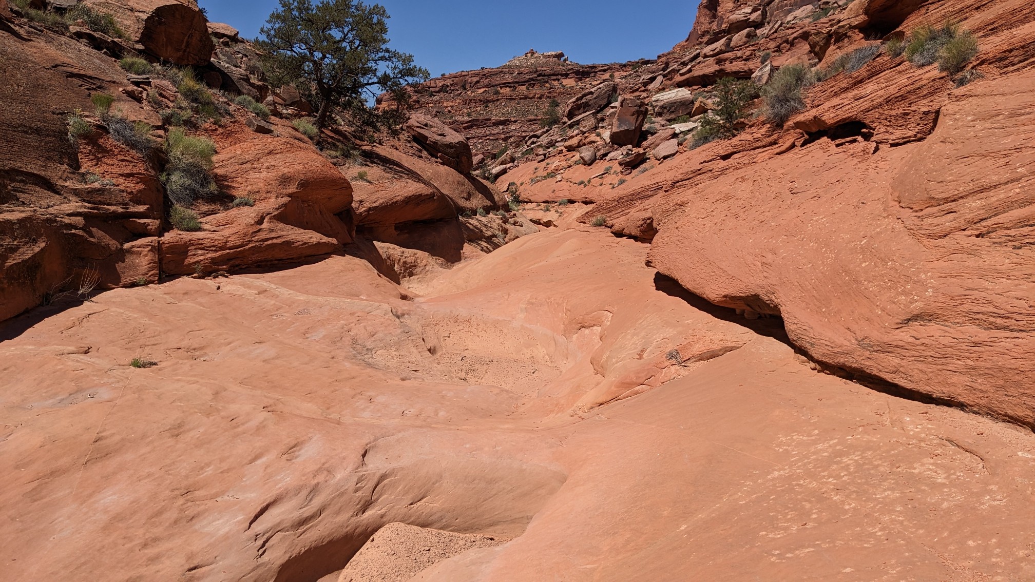
Then there was a big dryfall, and we spent 30 minutes walking along the rim, before finding a route down to the bottom of the Canyon.
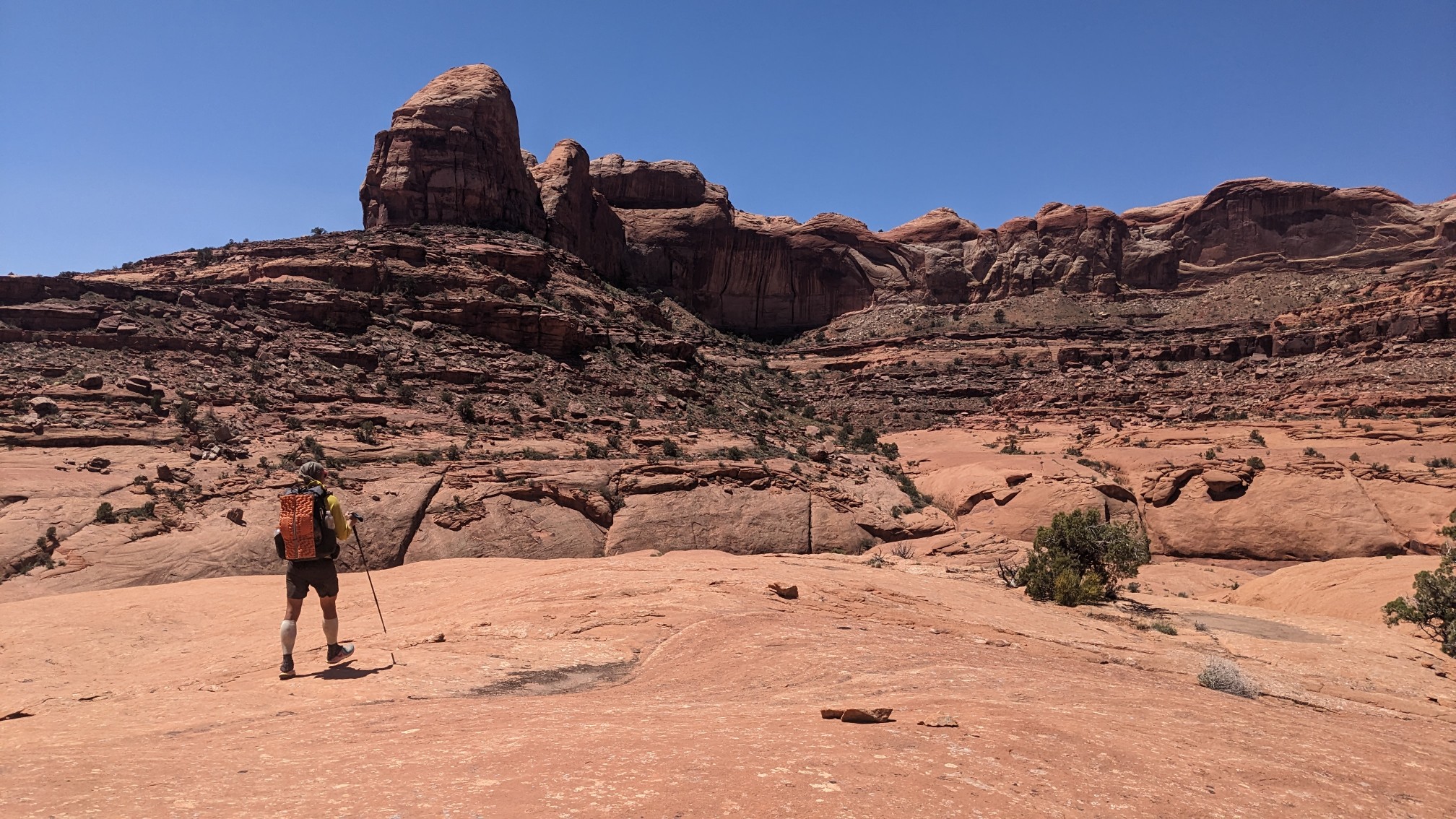
We made it down to the bottom and it was pleasant walking for a while.
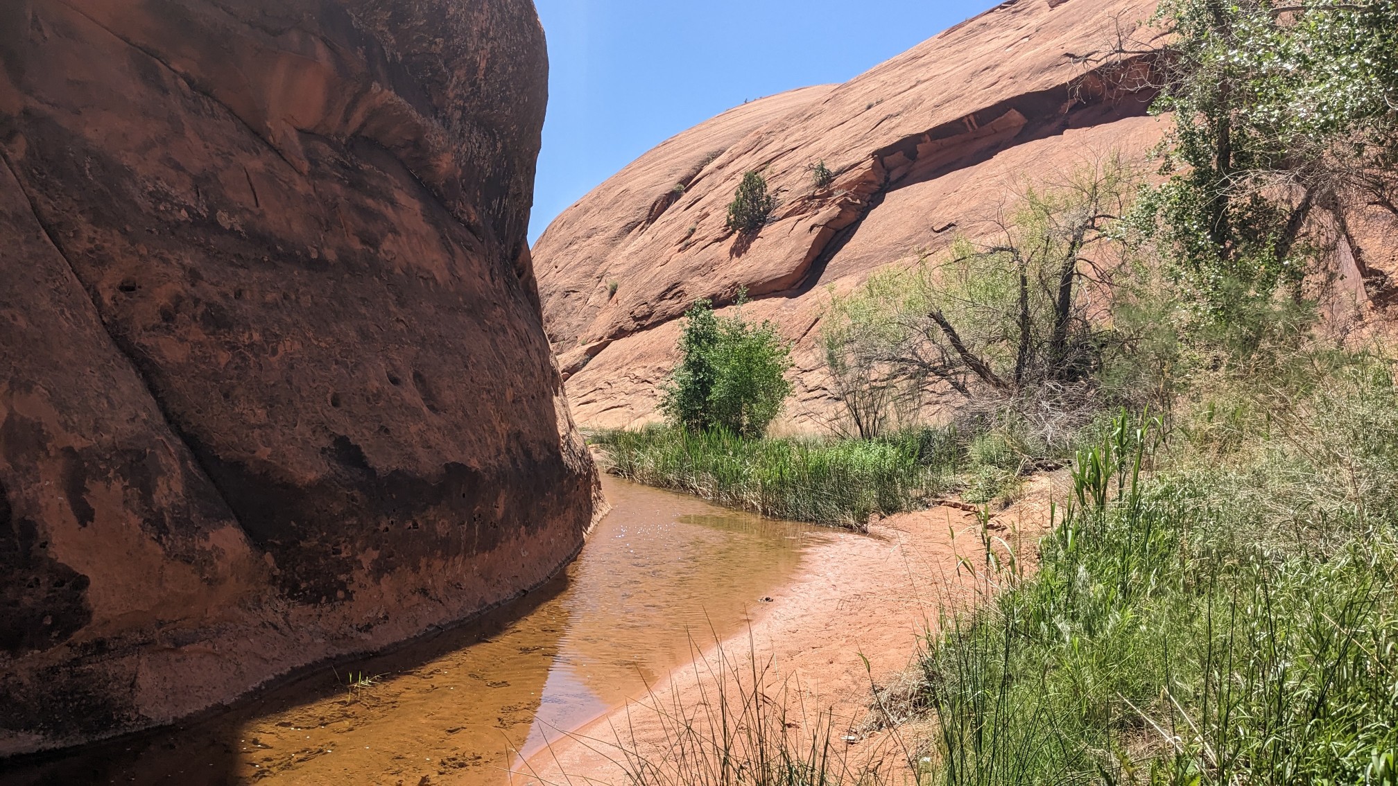
Then there was another dryfall, and we had to scramble up onto some ledges just above (100ft?) the stream.
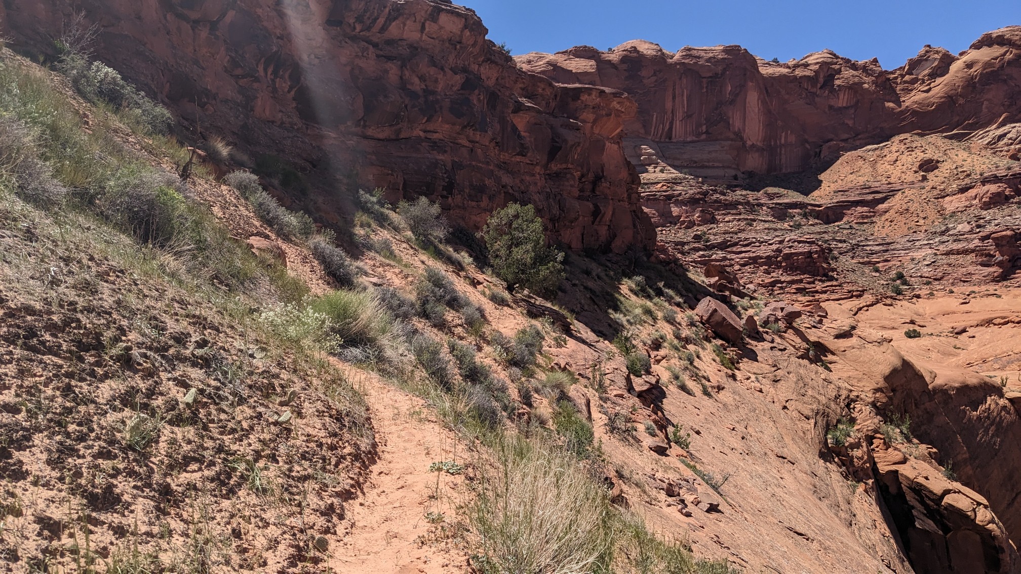
I loved walking these slickrock ledges.
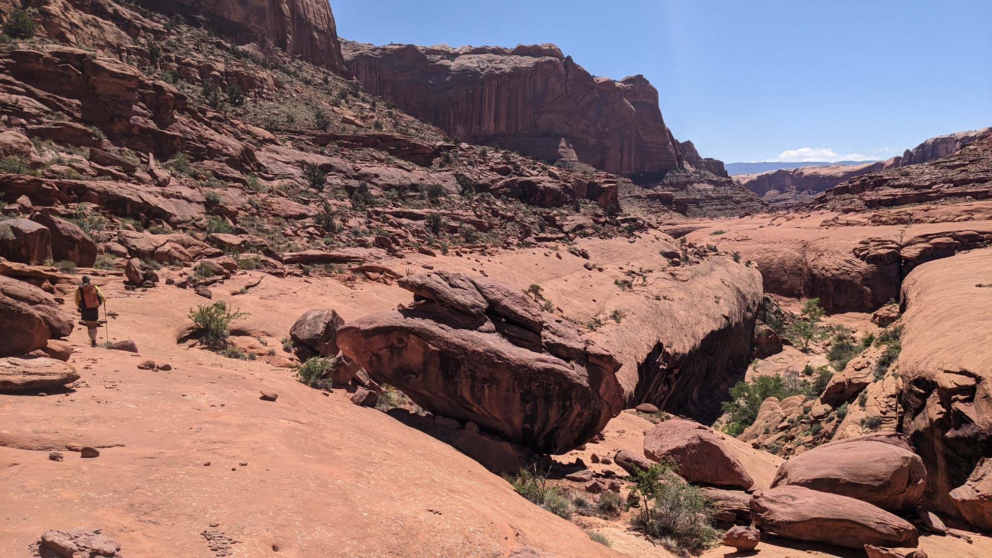
Shadow coming around the bend.
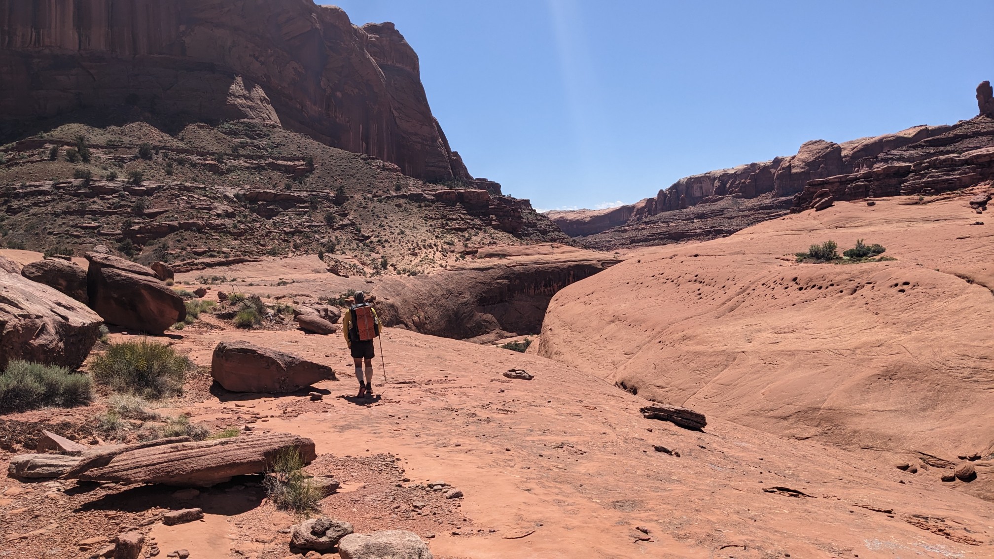
He usually walks faster than me, but today he stayed behind me most of the day, I guess I’m more comfortable with heights and exposure.
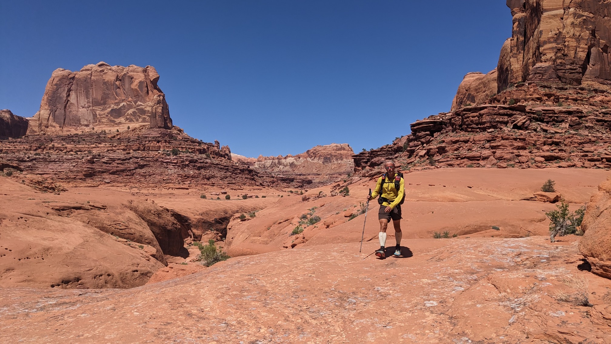
Sometimes the path was right on the edge!
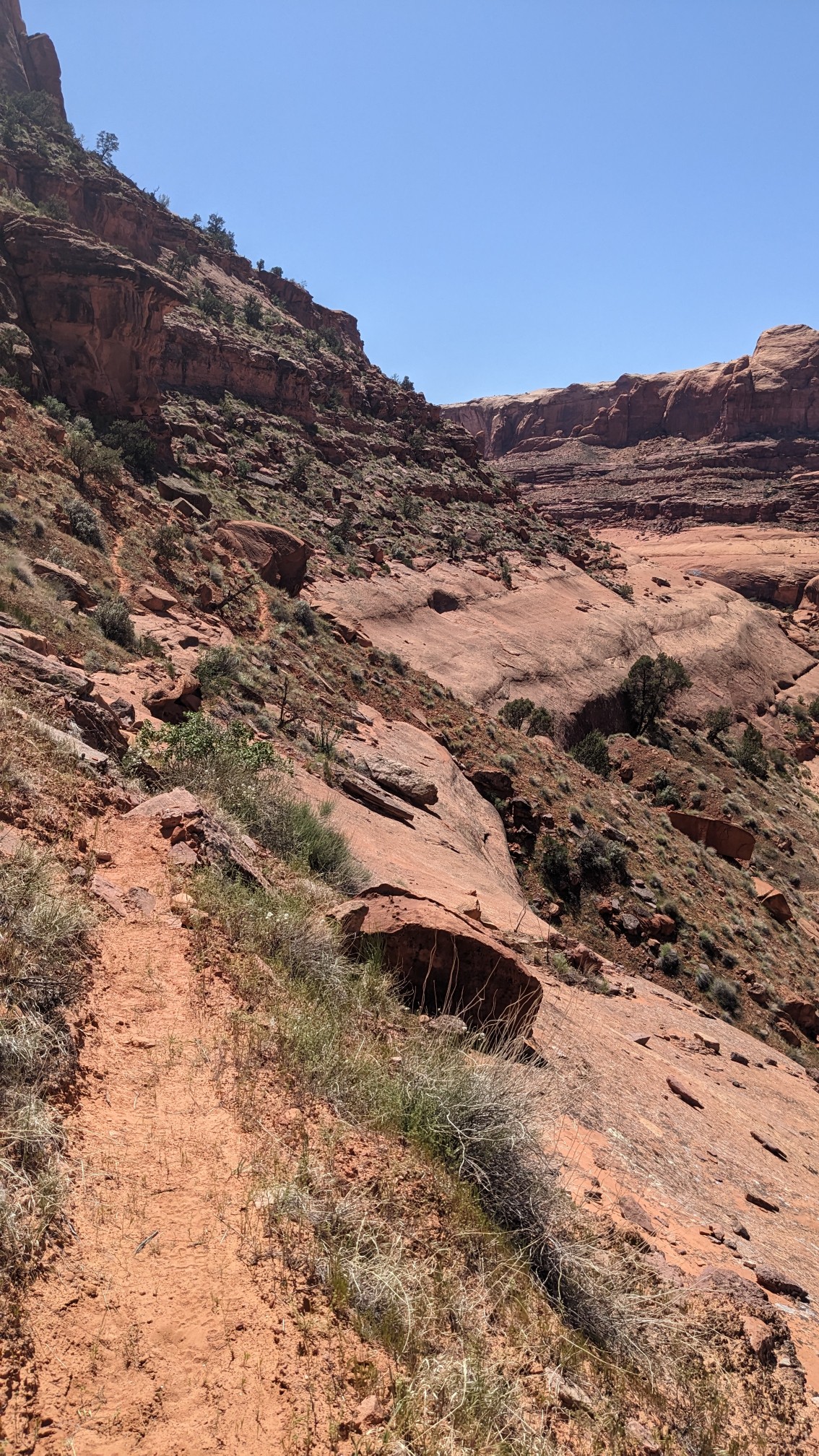
But most of the time it was on really wide slickrock benches.
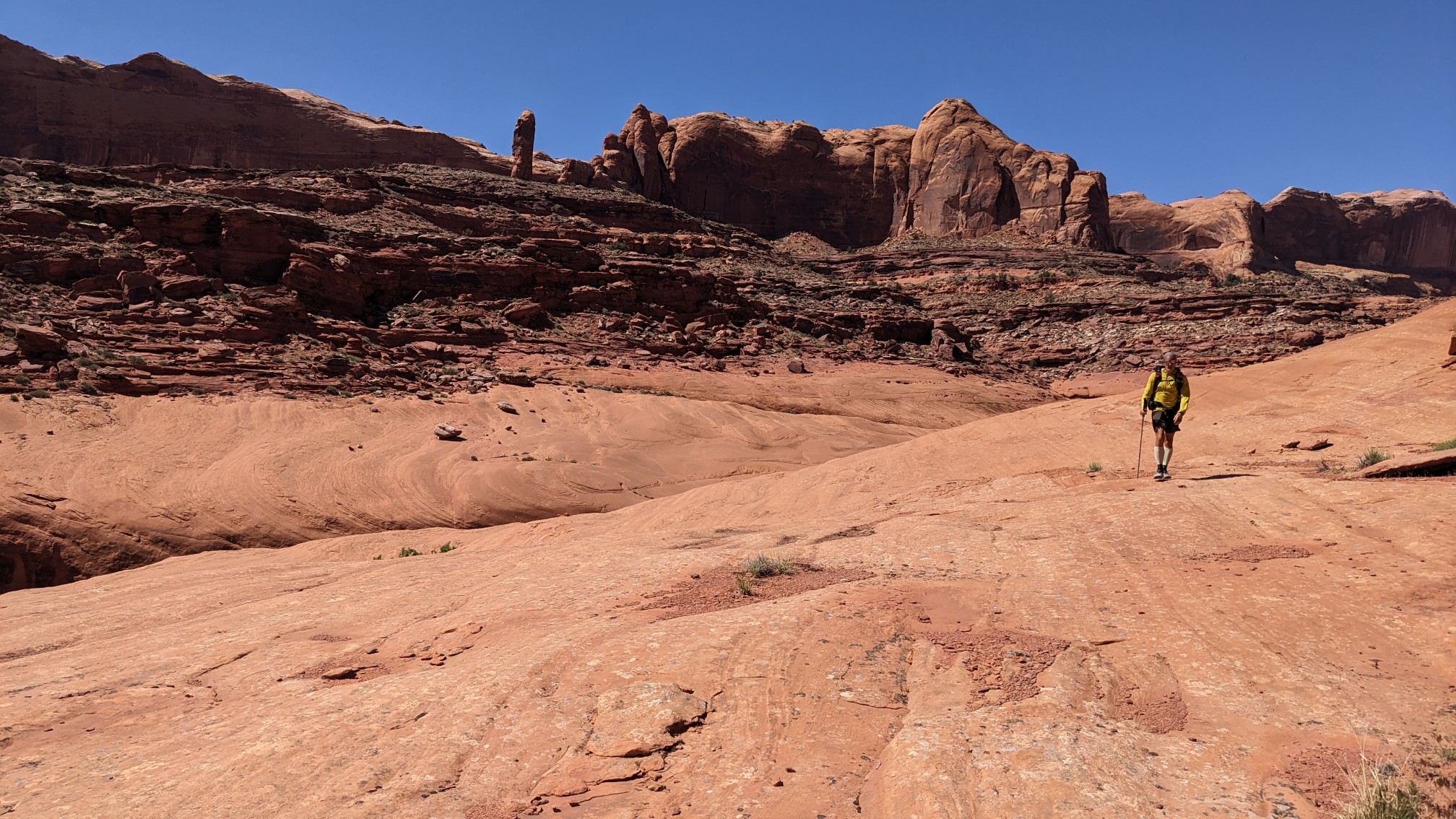
It seemed a long way down to the stream, and we soon had to descend to the bottom again.
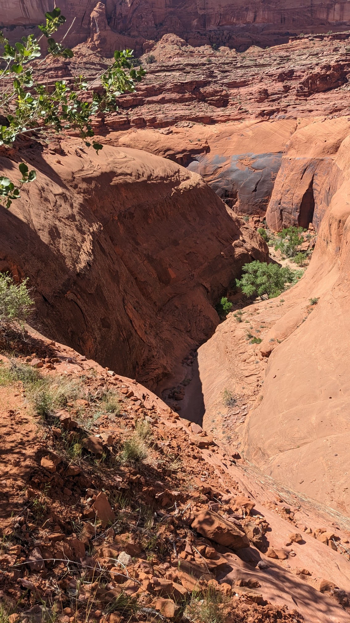
We descended on a slickrock ramp, which was actually much less scary than I thought it would be. There was almost no exposure, and it wasn’t steep.
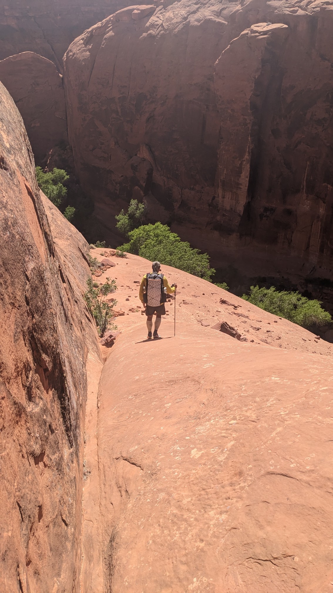
Once we were at the bottom, we hiked in the shallow stream, or a green jungle of bushes.
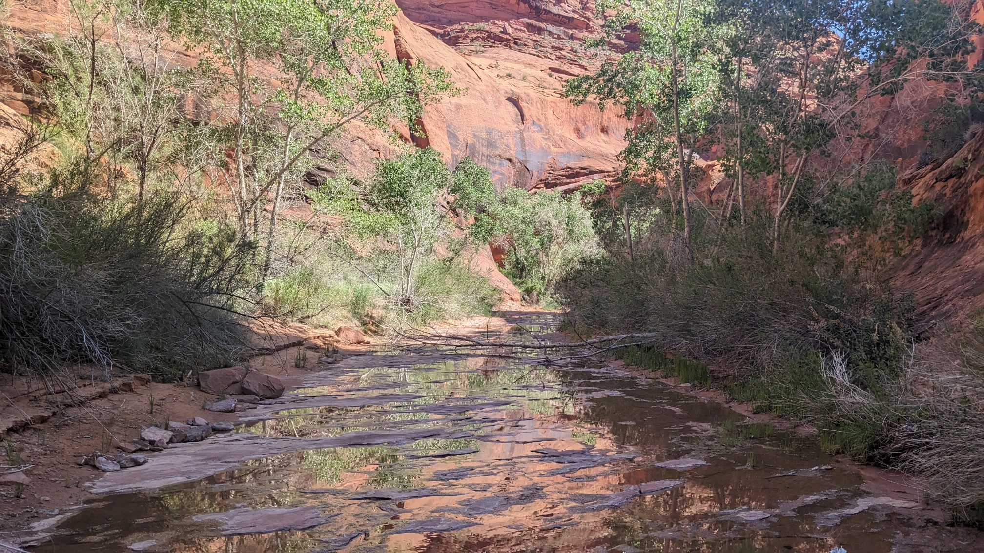
Walking in the stream was much nicer than the jungle.
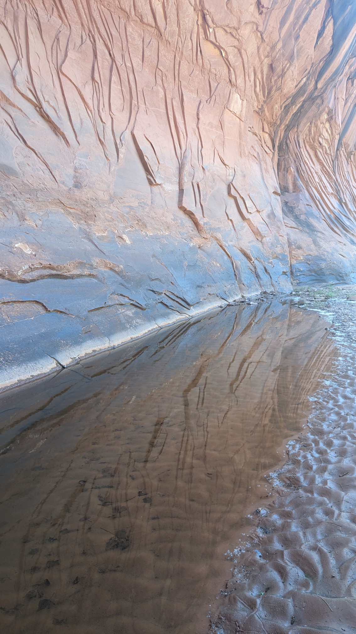
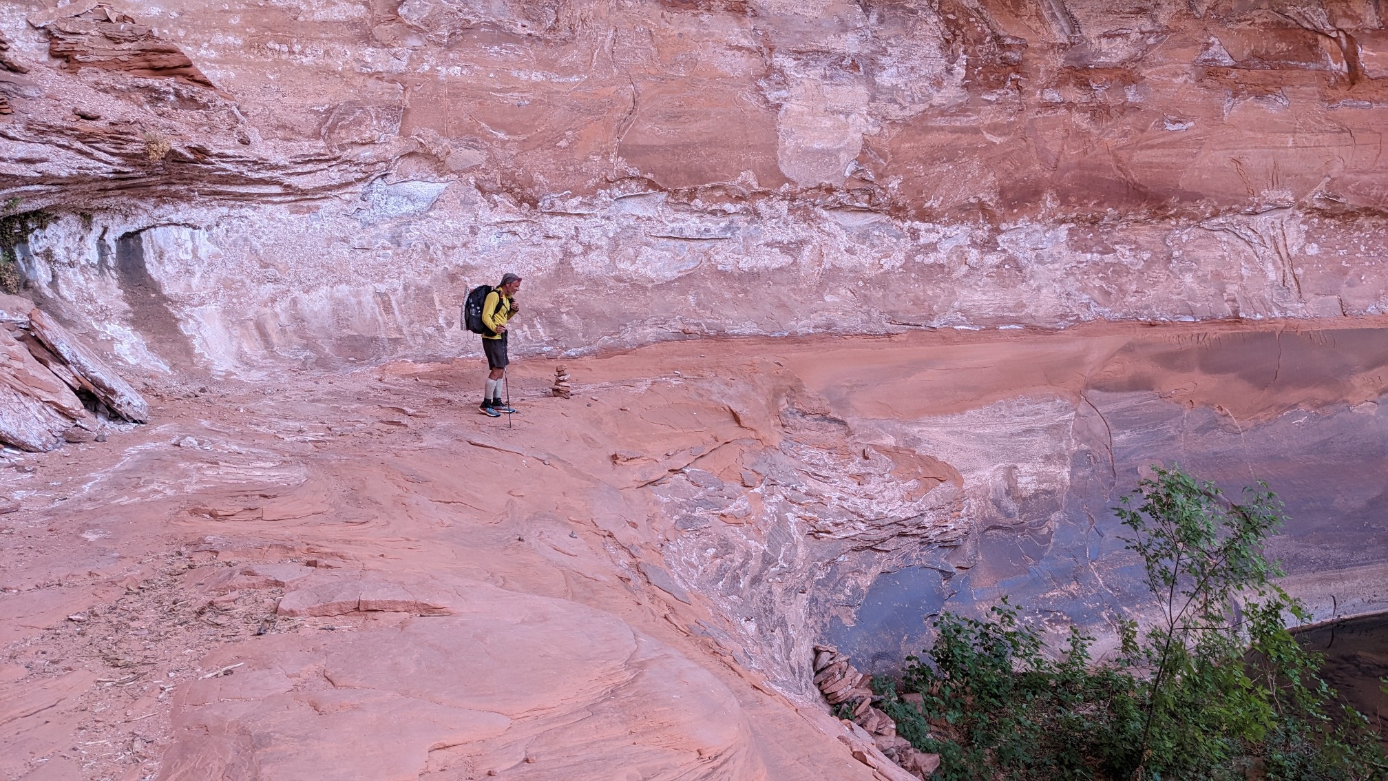
There was one spot that we had to climb up 15ft to get around some deep water, and there was this hilarious staircase made of a rockpile for descending.
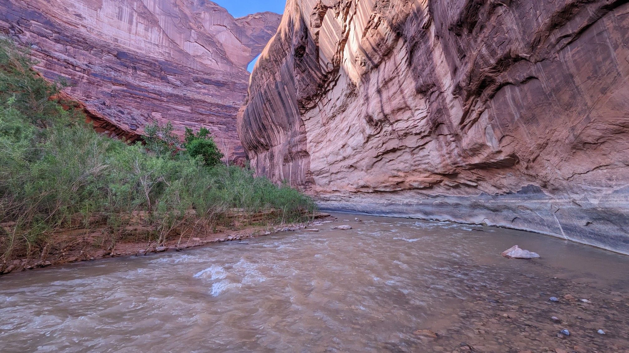
Finally, after 9 hours since we started our descent, we were at the Escalante River. It was about knee deep, and not too bad to walk in.
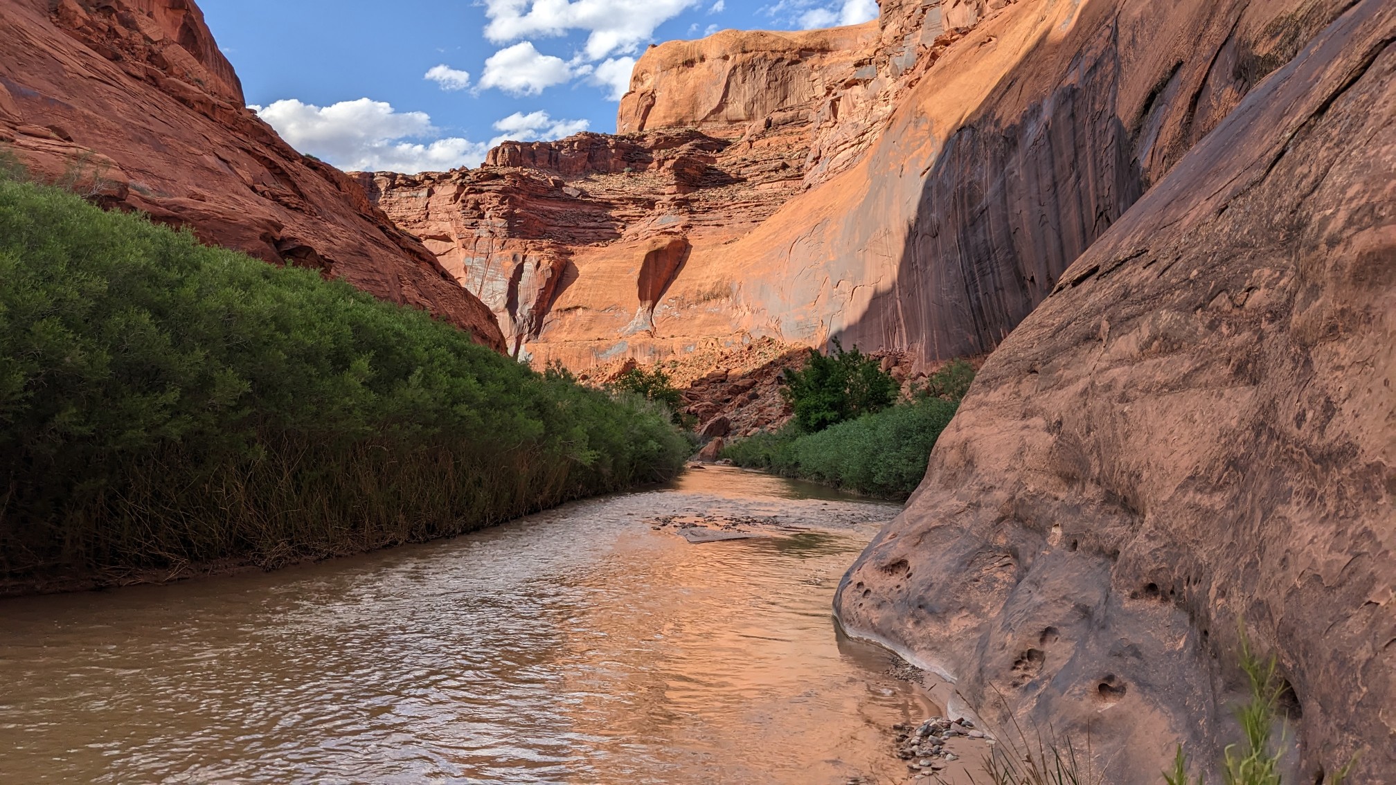
The famous Stevens Arch was around the first riverbend.
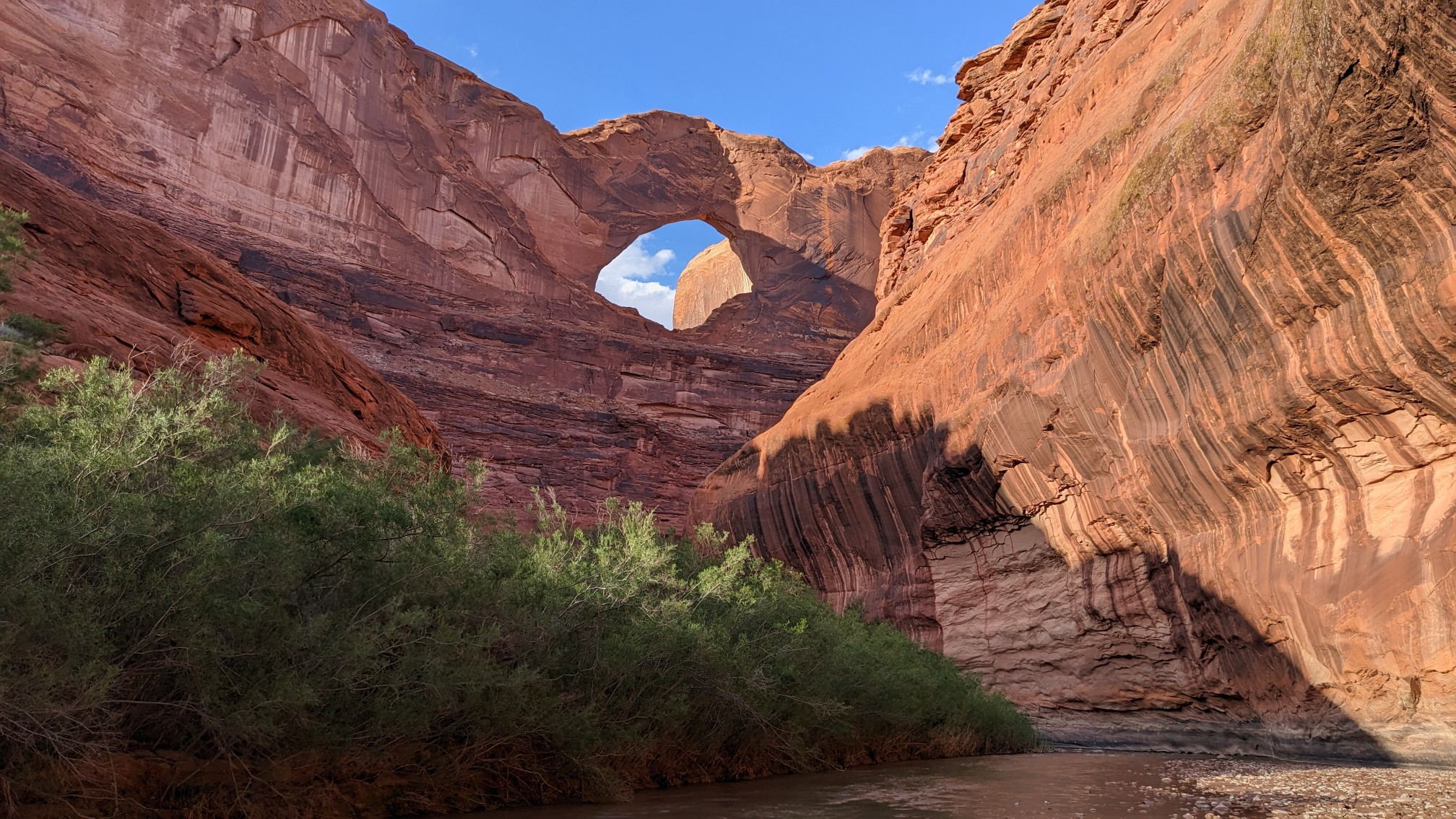
More Escalante River walking.
Stevens Arch!
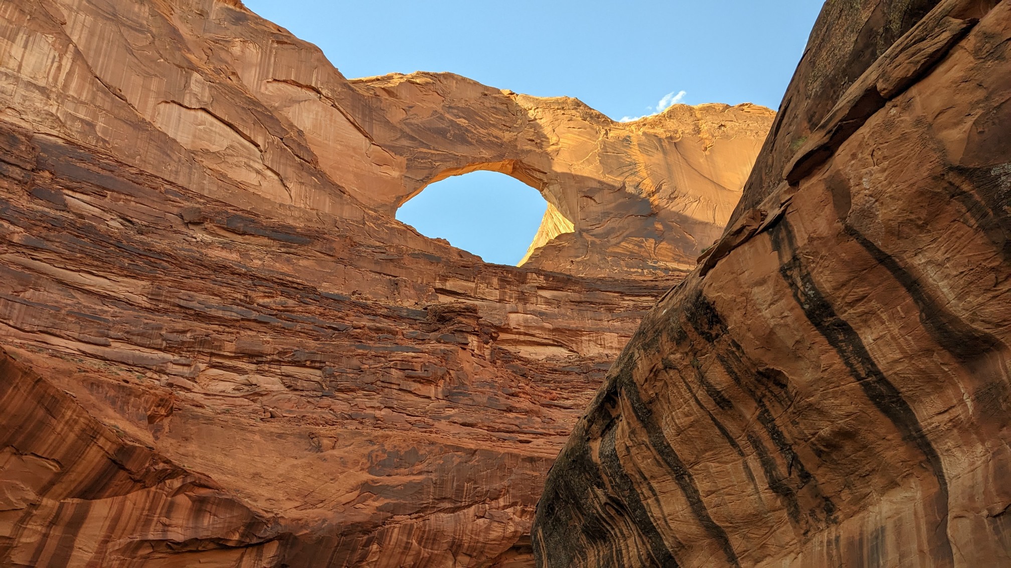
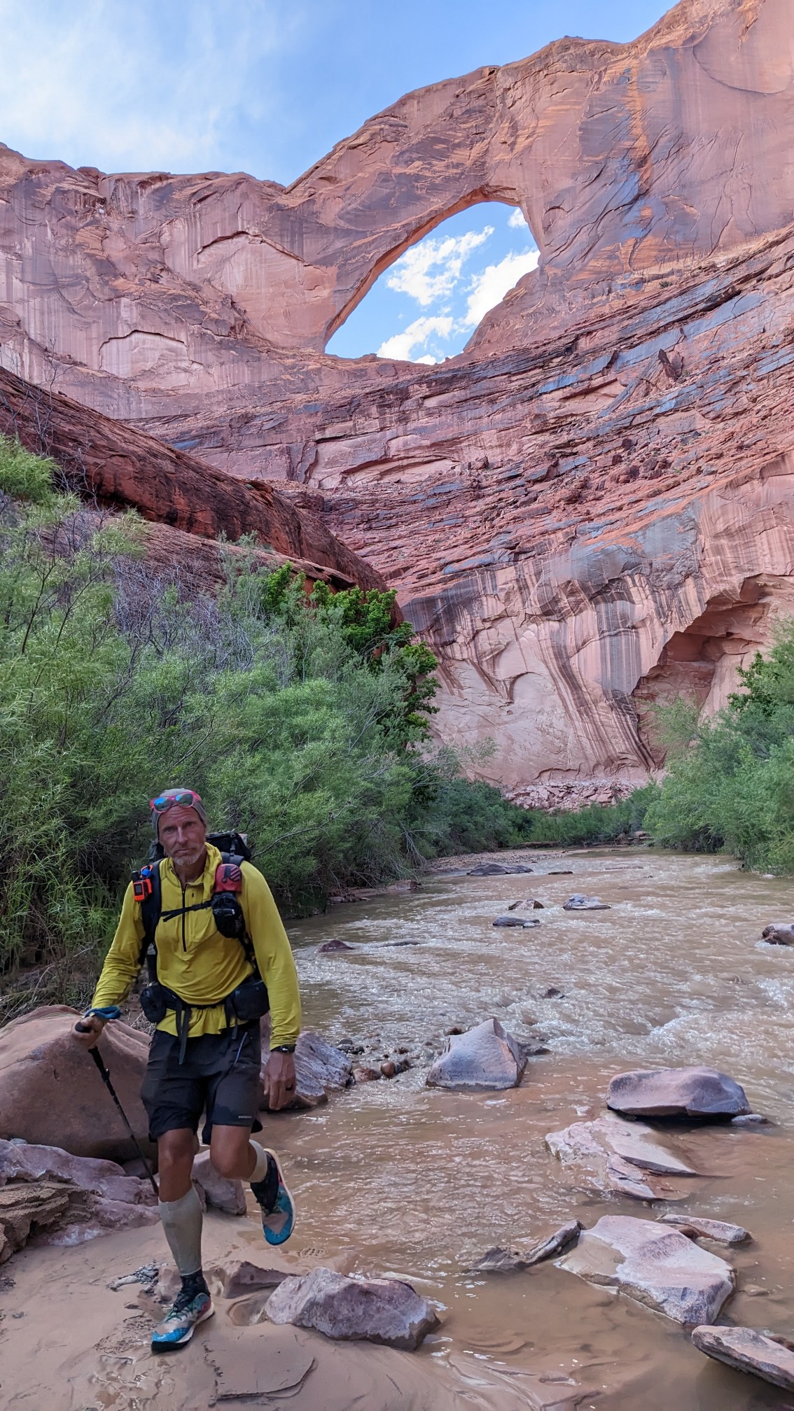
After just over a mile in the Escalante river, we turned off to go up Coyote Gulch. It was very shallow, not even ankle deep.
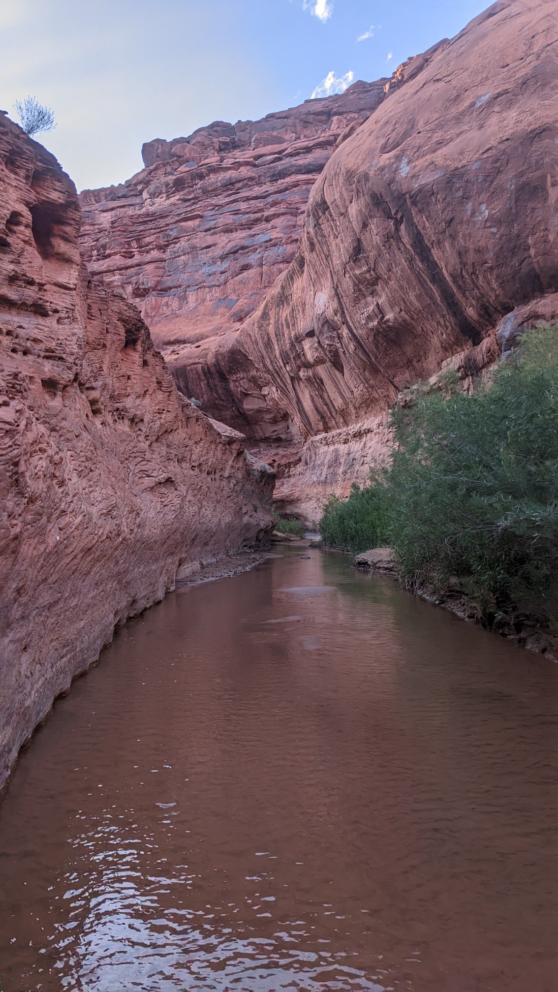
We saw several other weekend backpackers, and took the first available camping spot we found, since it was after 7pm and we were exhausted after that long day.
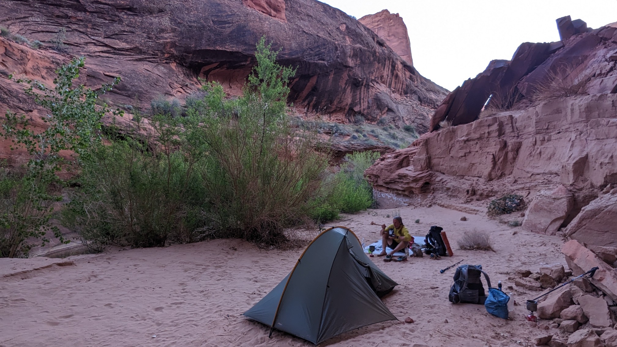
It was a perfect spot! Hidden behind some bushes and up on a sandy bench, I could hear the other campers nearby but didn’t see them.
Tomorrow is a town day, hopefully we can get a difficult hitch into the town of Escalante.
Great photos! Love the Stephens arch