Wednesday May 31, 6.7mi/10.8km
Cremation Creek (637.6/3640ft) to South Kaibab Trailhead (639.9/7175ft) (AZ) + 4.4mi South Kaibab Trail
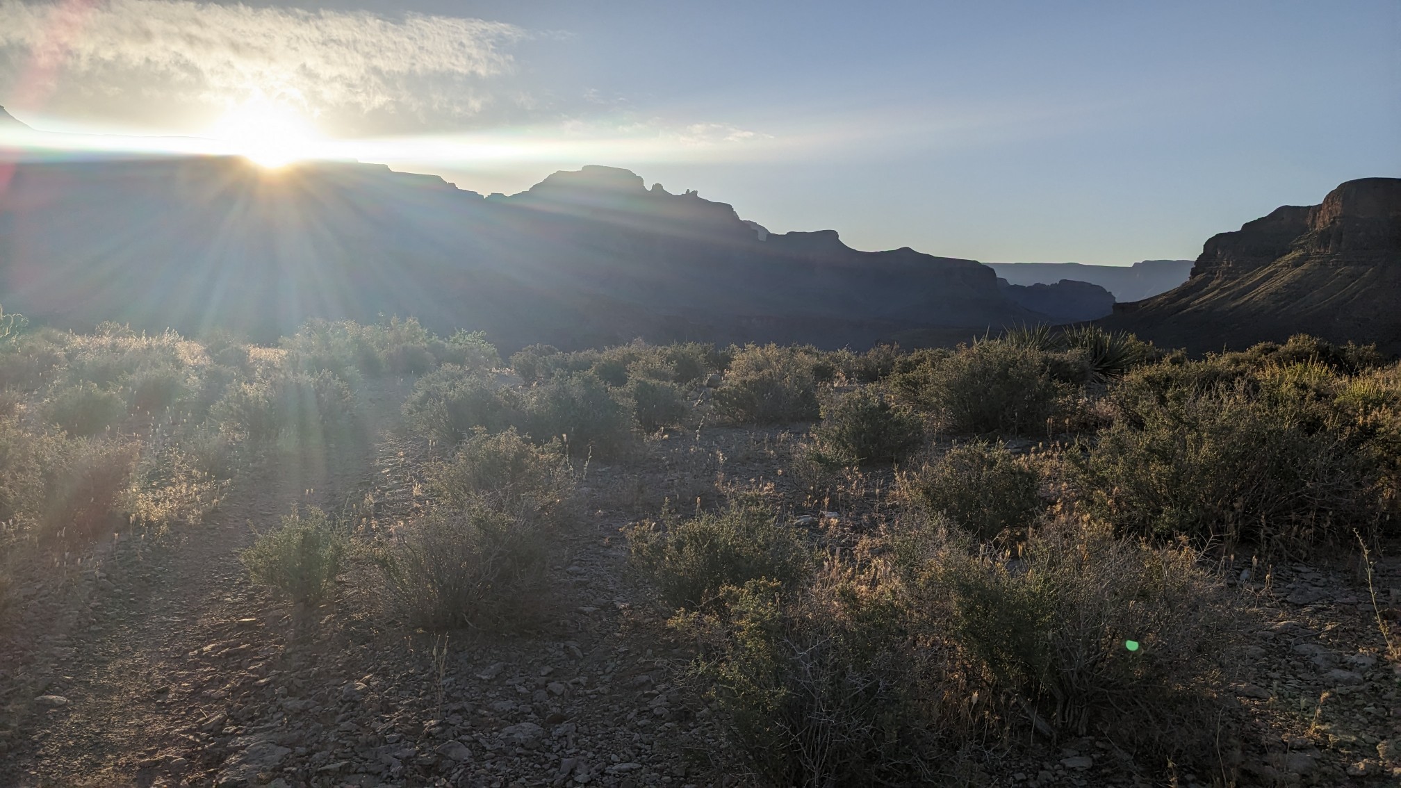
We were awake early once again, and hiking at 6am. There was about an hour of hiking on the Tonto trail, and I watched the sunrise.
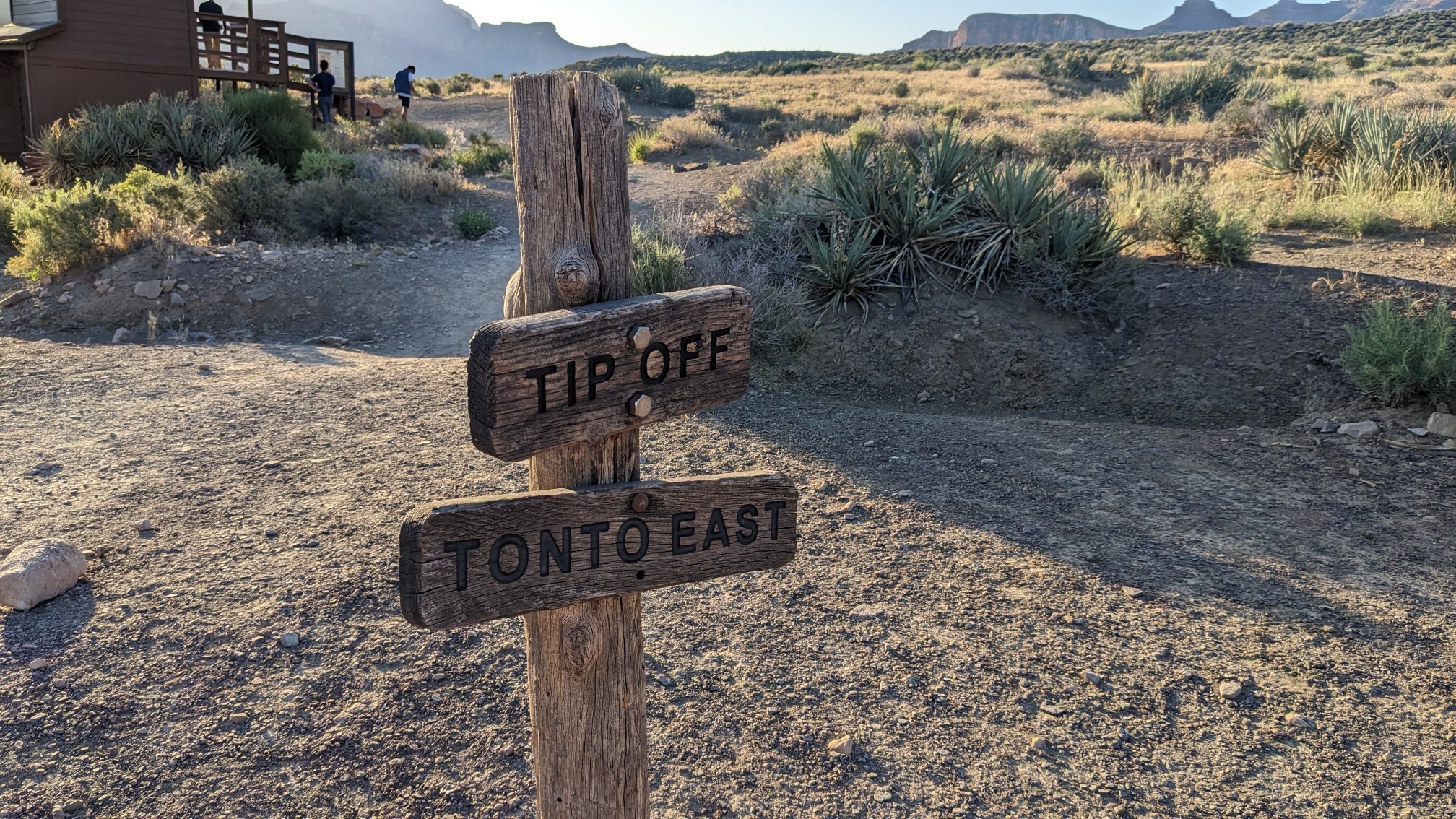
The Tonto trail crosses the South Kaibab trail at a junction called the Tipoff, which was quite busy.
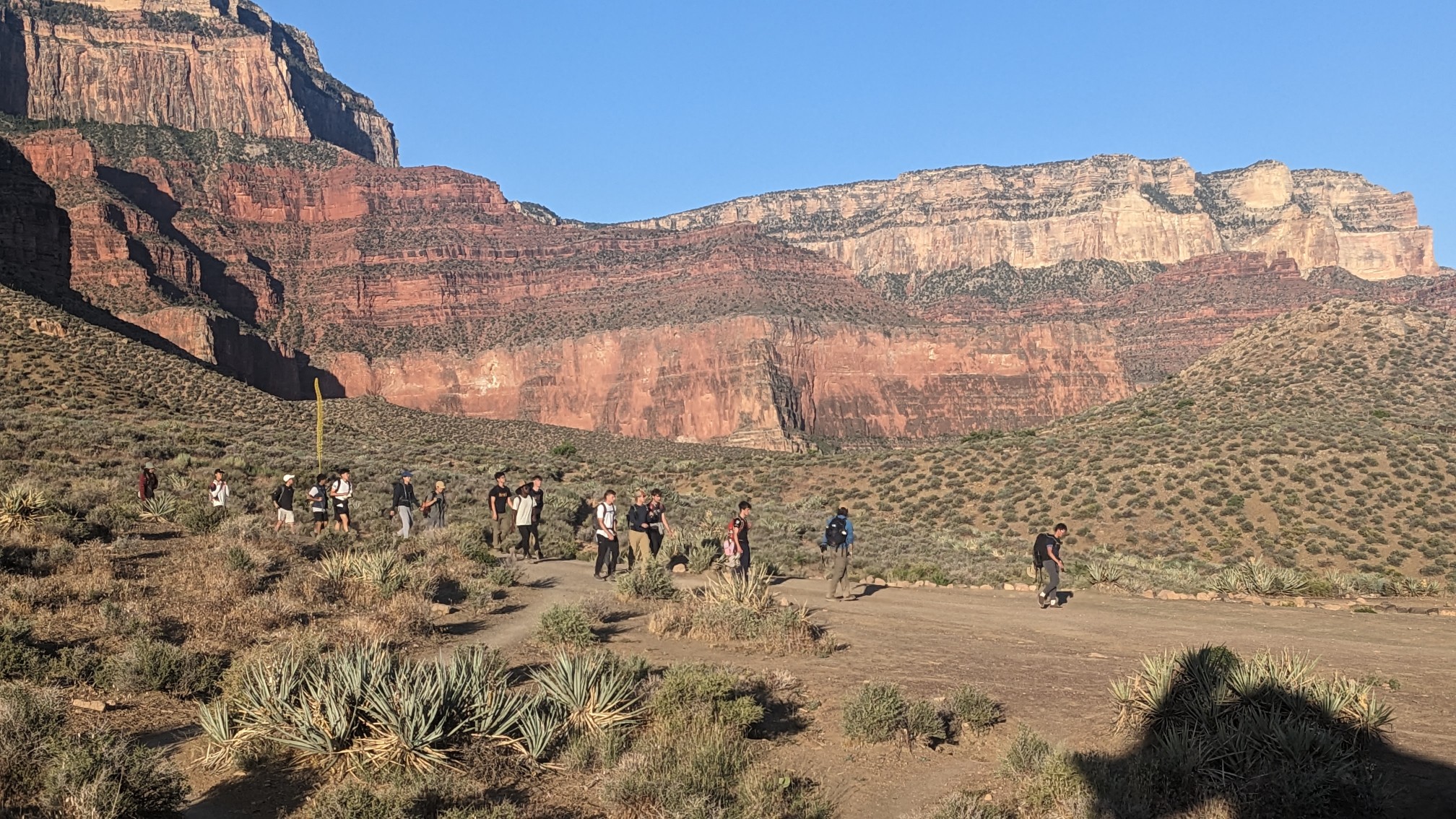
There was a group of 15 loud hikers hiking down the Kaibab Trail, which was a little jarring.
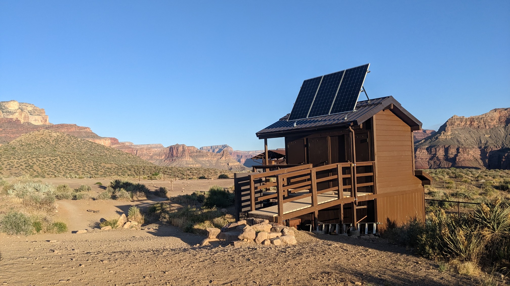
The longdrop toilets were a nice feature though.
These signs are always entertaining, showing how much elevation to hike, and the temperatures at each level.
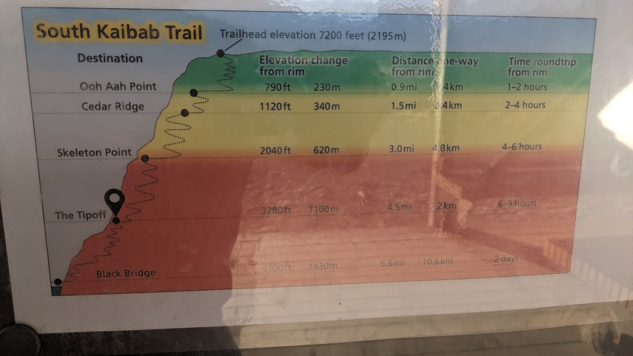
We had a short break at the shade shelter, and then started our 2 hour climb up the South Kaibab Trail.
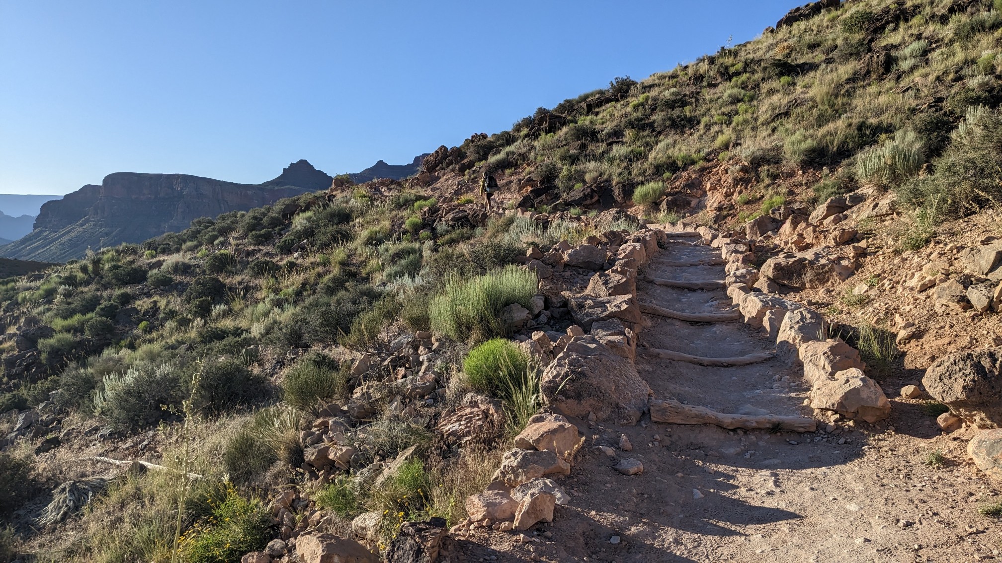
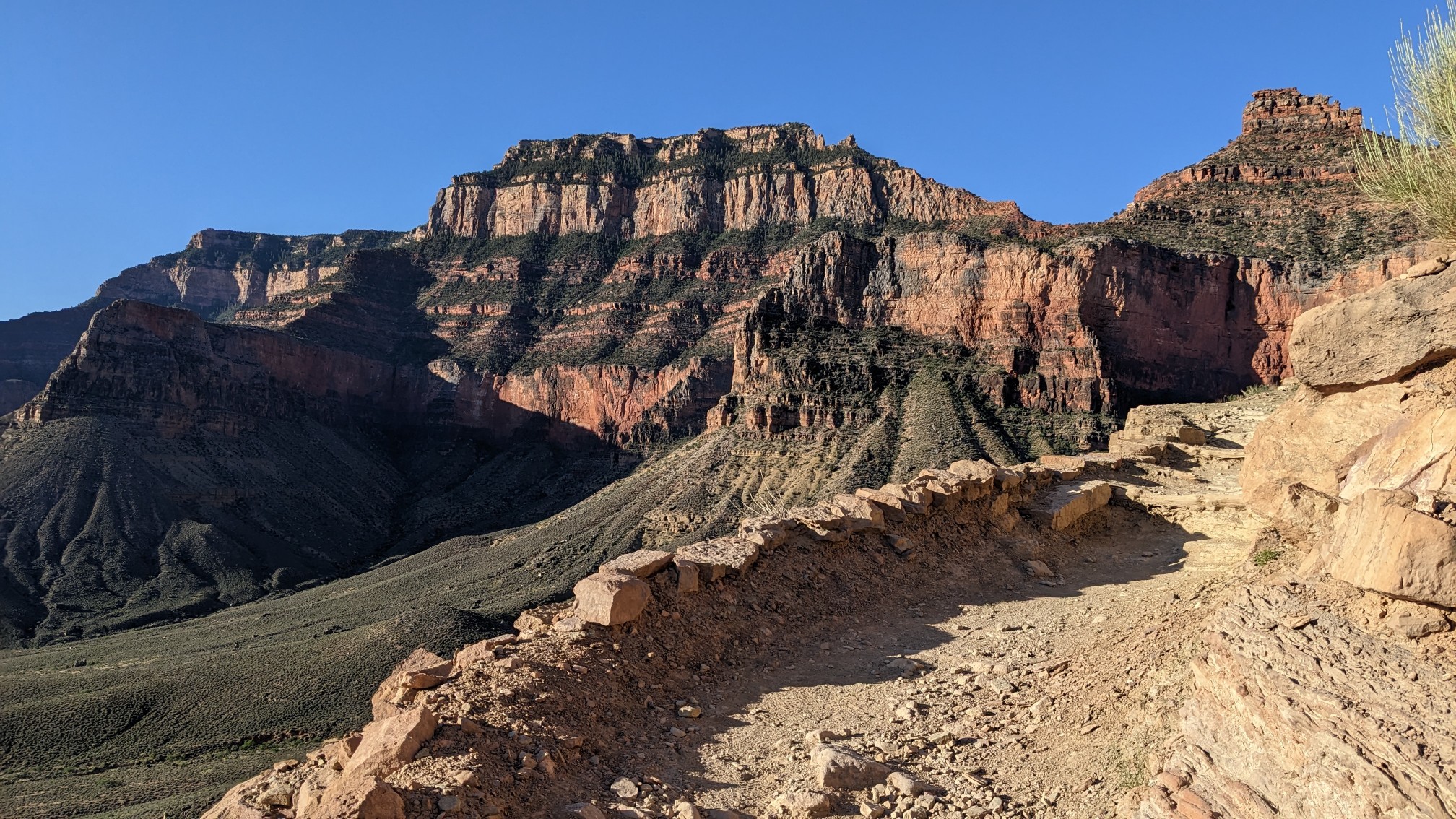
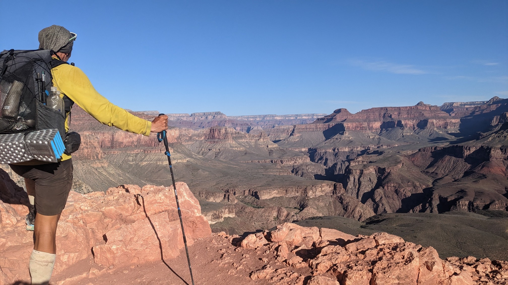
The view from below Skeleton point:
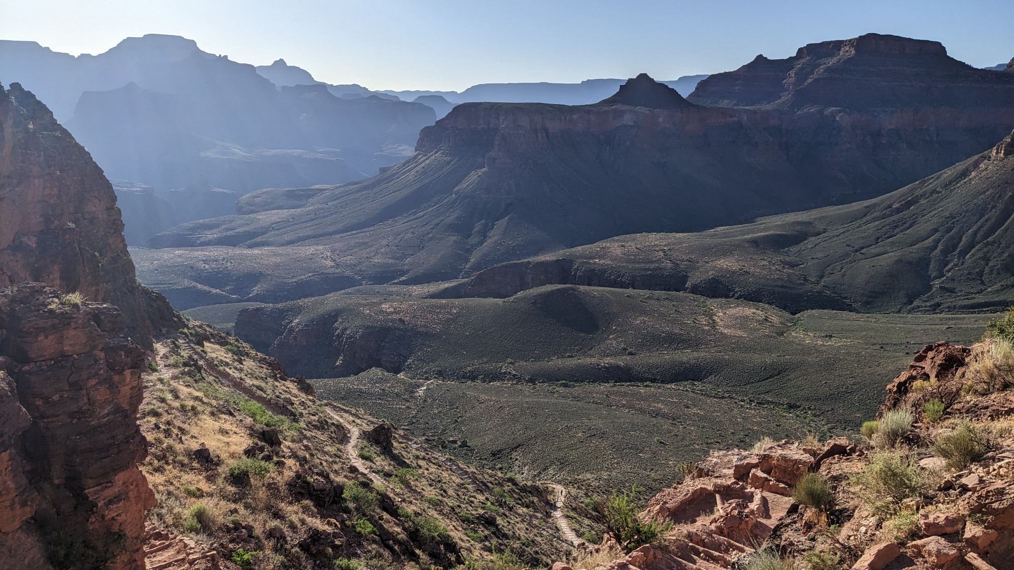
The Colorado River is way down there somewhere!
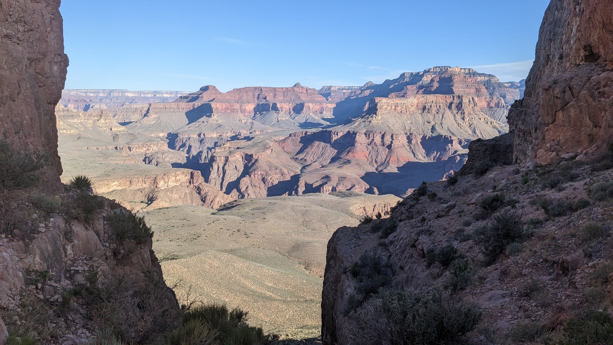
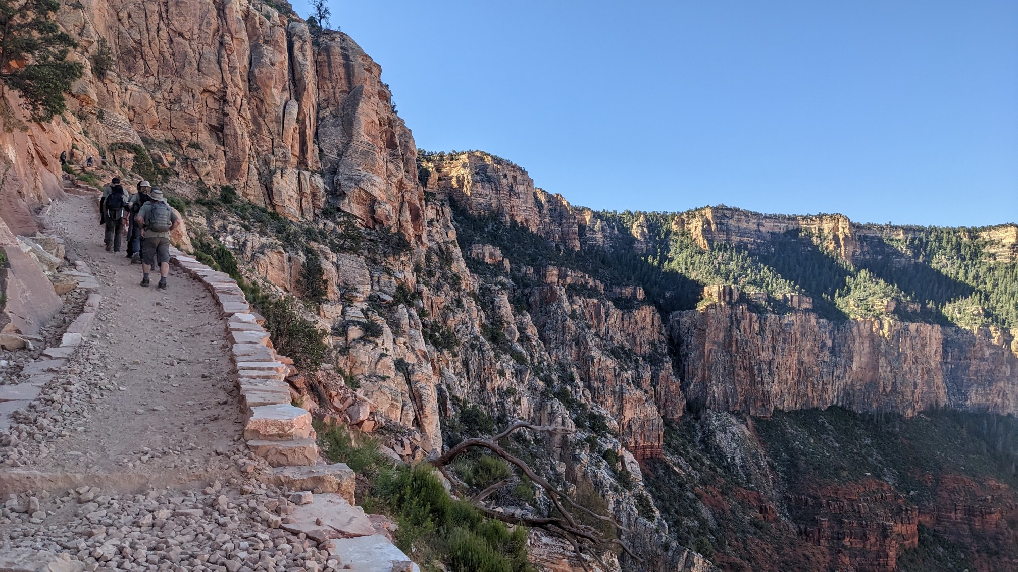
It’s fun to look down upon all the switchbacks you just hiked up.
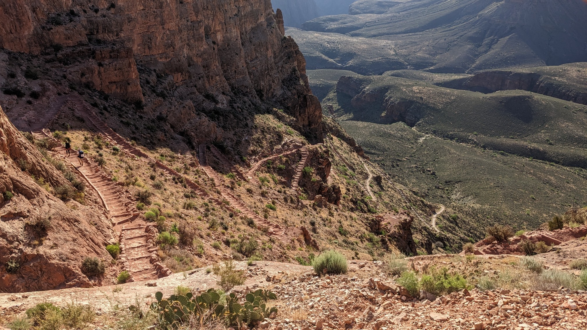
We kept hiking steadily uphill…
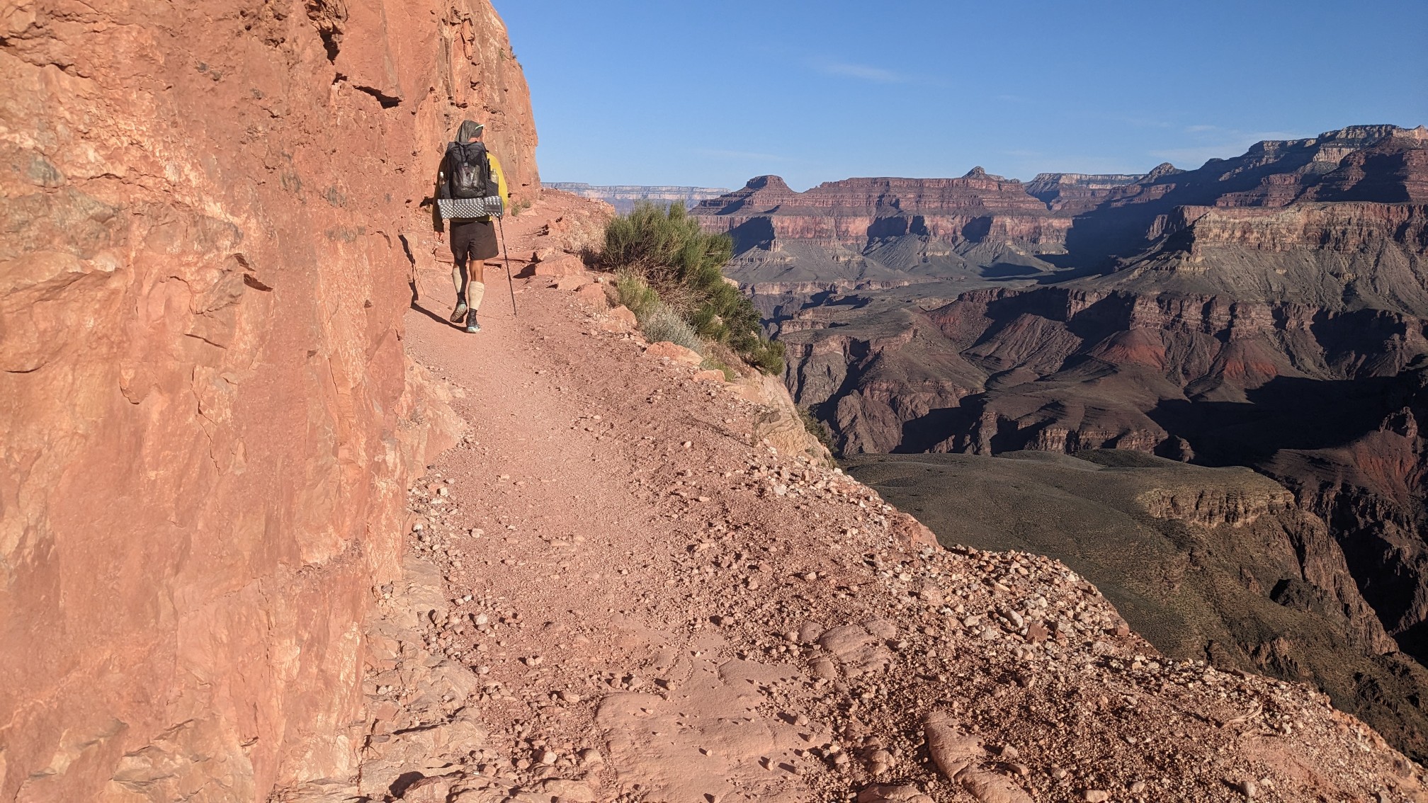
…and the views kept coming.
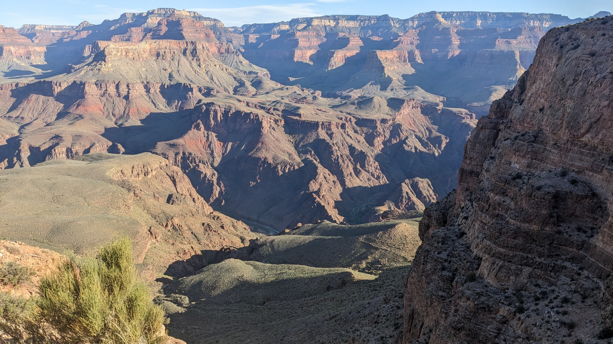
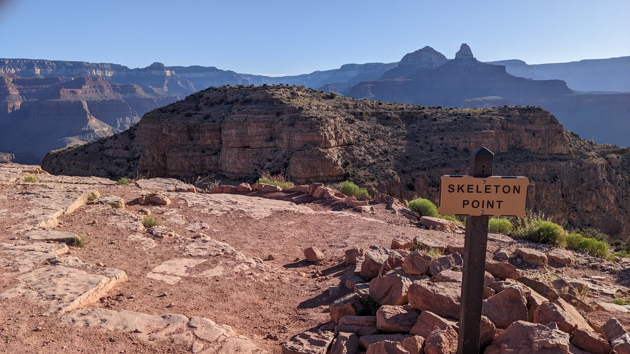
Skeleton point.
Every once in awhile it was neat to look behind us, and see a different perspective.
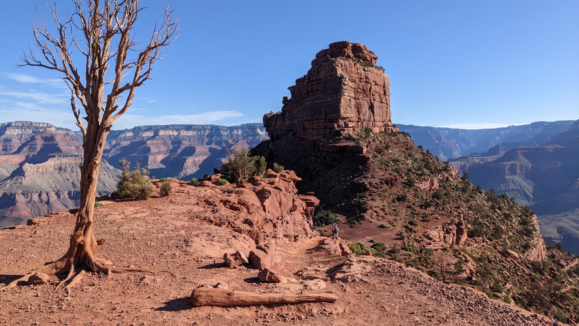
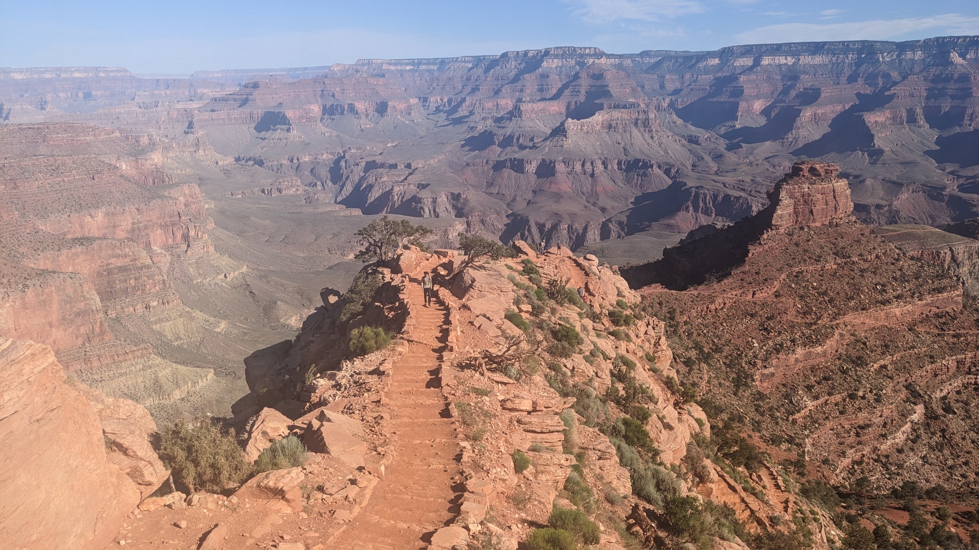
Near the top, the trail goes into the shade of the ridge.
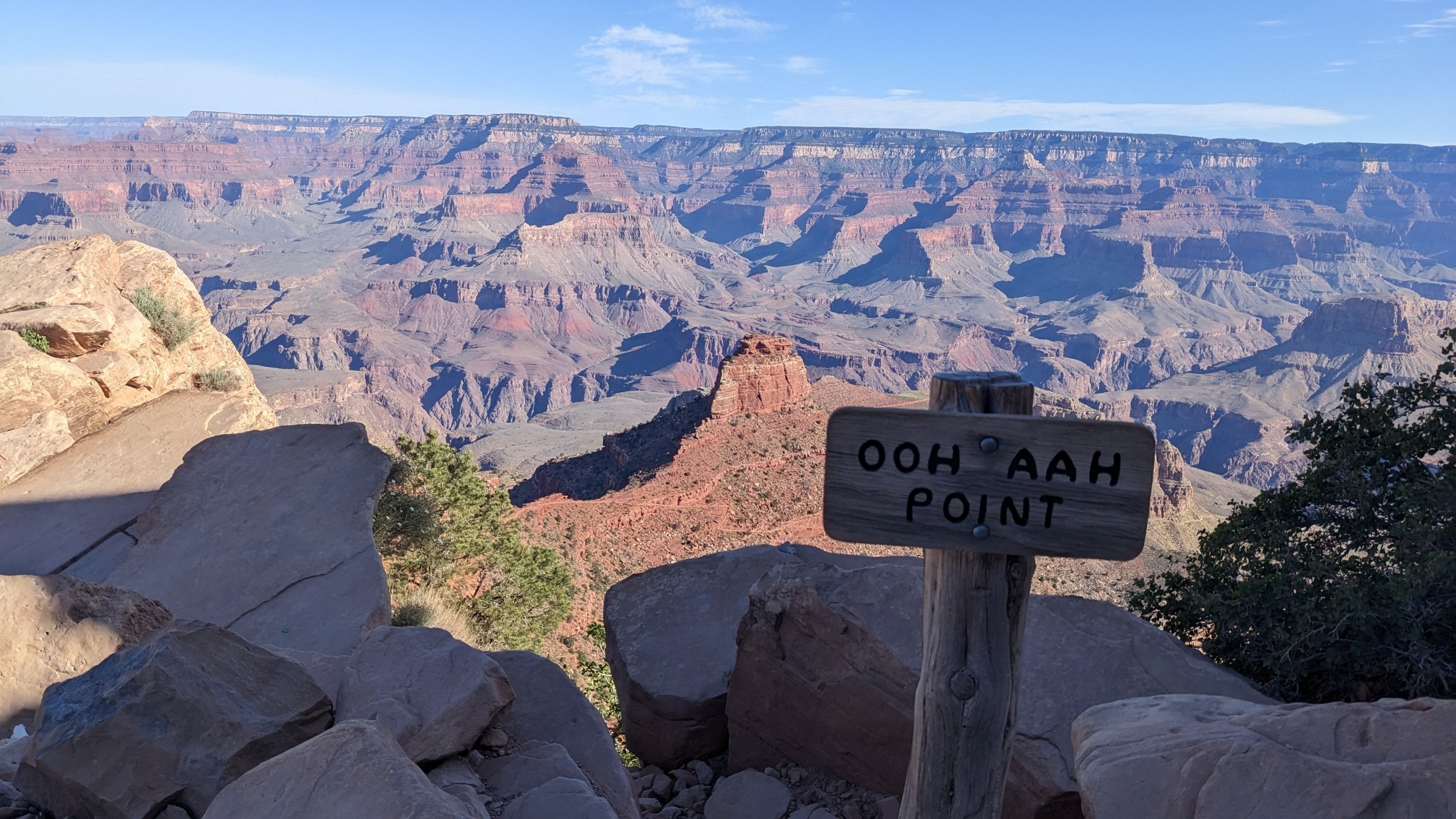
This little point had a hilarious name. Ooh Aah point!
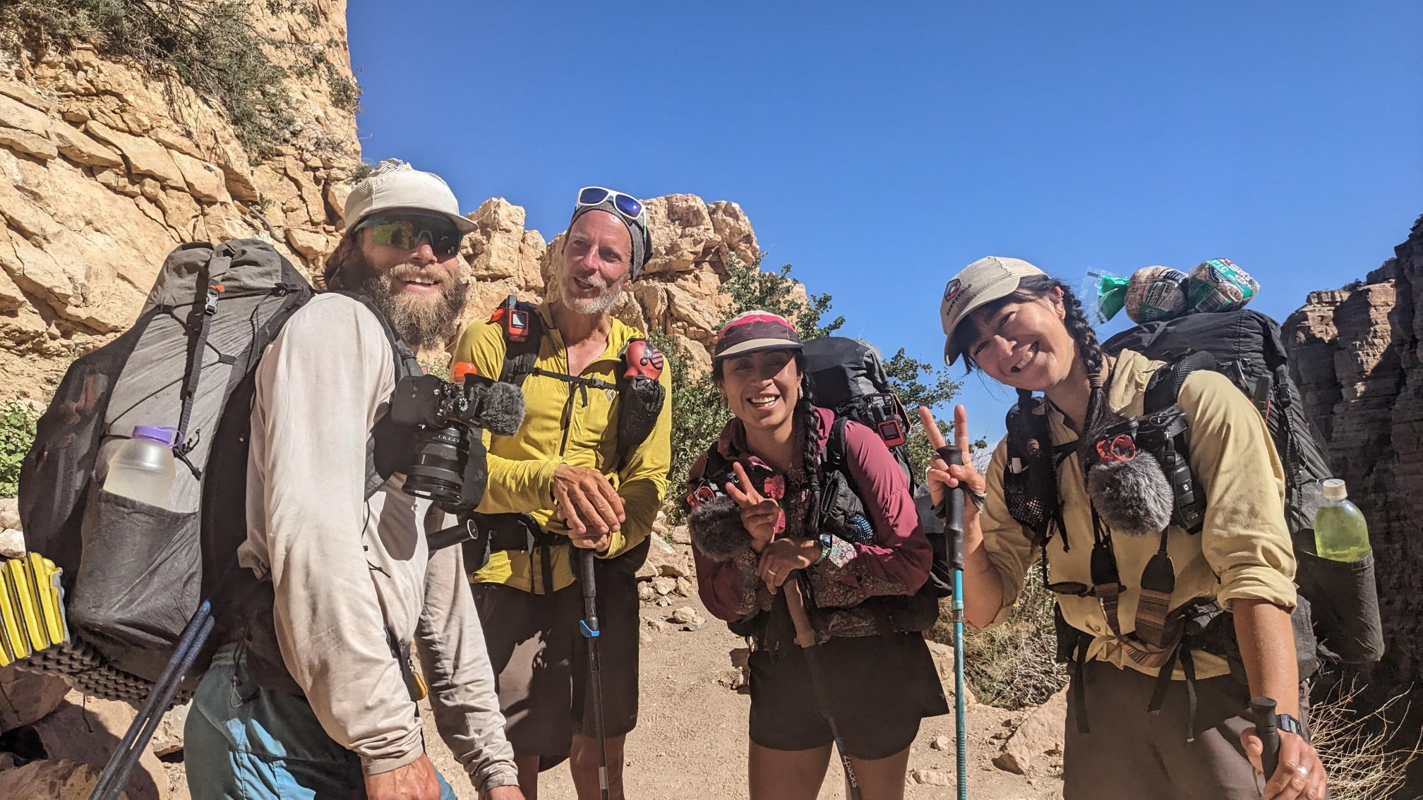
Just minutes before the top, we met 3 other Haydukers, Peter, Zelzin, and Elina. They are doing a bunch of filming while they hike, and super fun to talk with. I hope to catch up to them later in the next section.
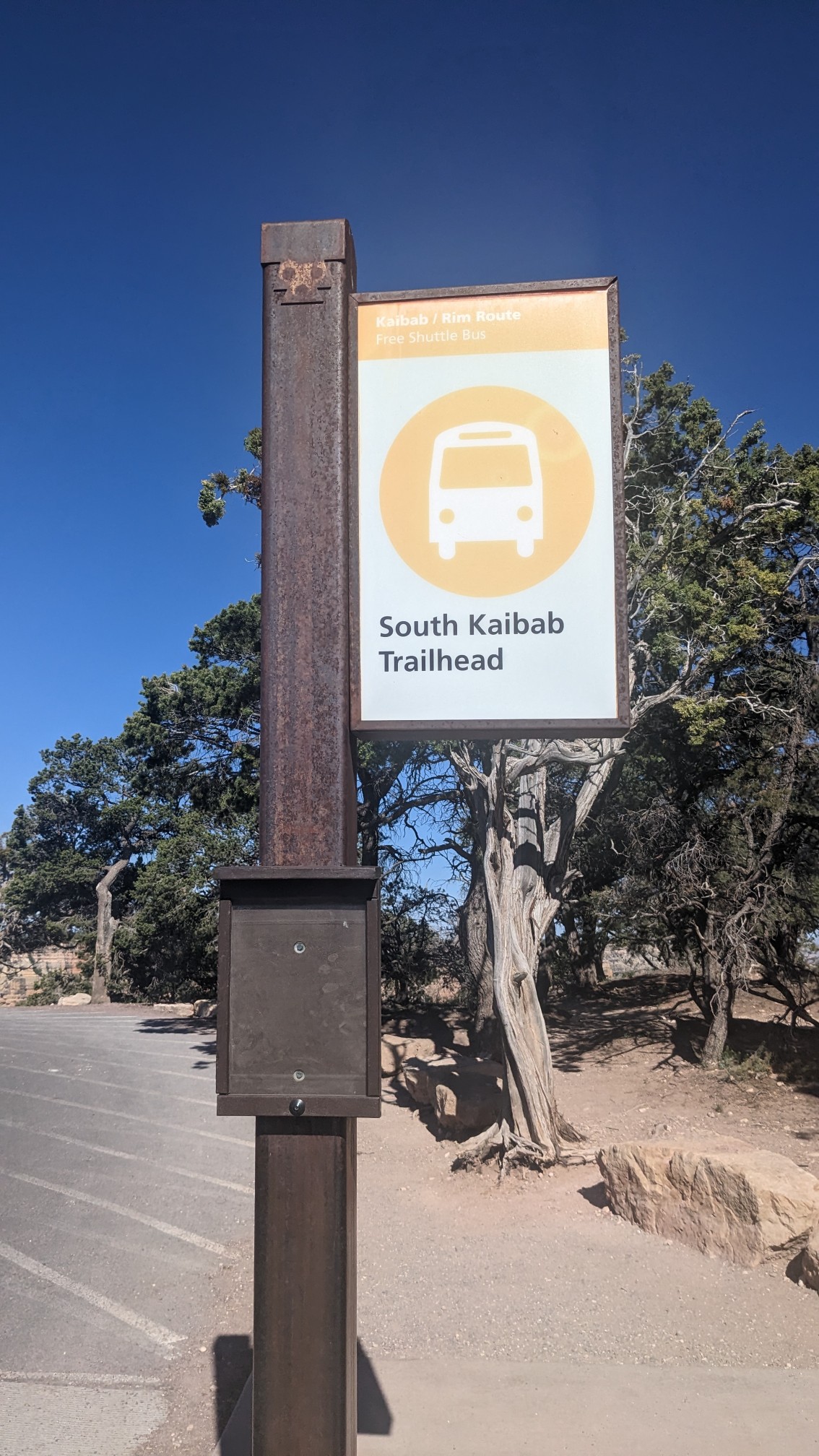
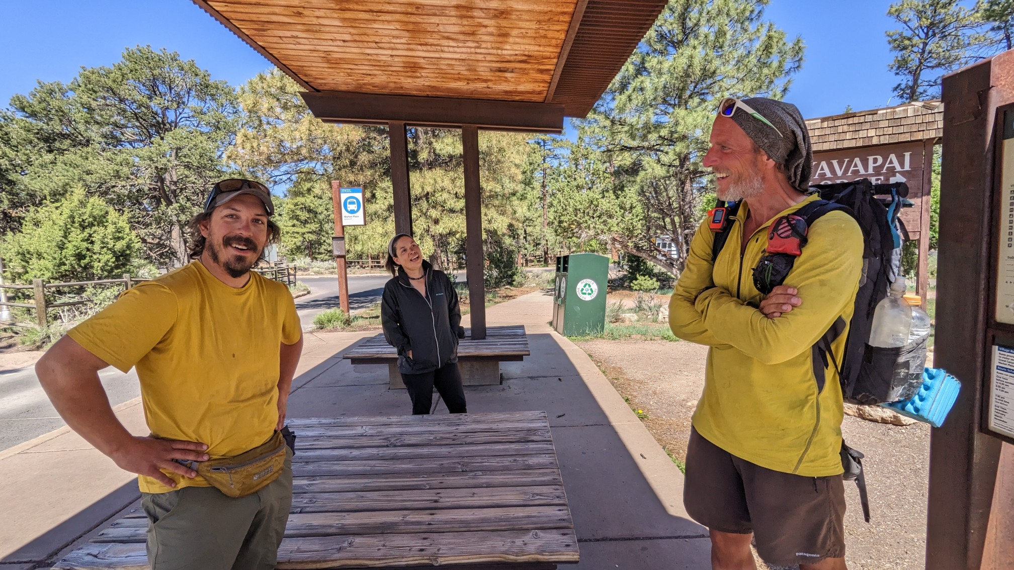
We got to the trailhead, and waited at the bus stop for the next shuttle bus to the Grand Canyon village.
While we were waiting, Shadow ran into an old friend of his from the PCT, “Weapons Grade”. It was really cool to see two people slowly recognize each other, ha!
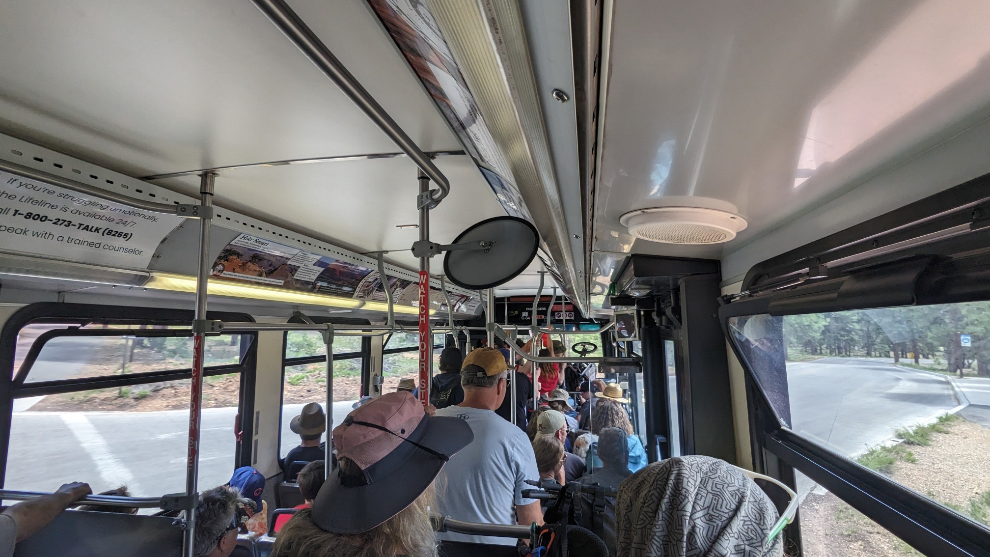
The bus was pretty crowded with all of the dayhikers.
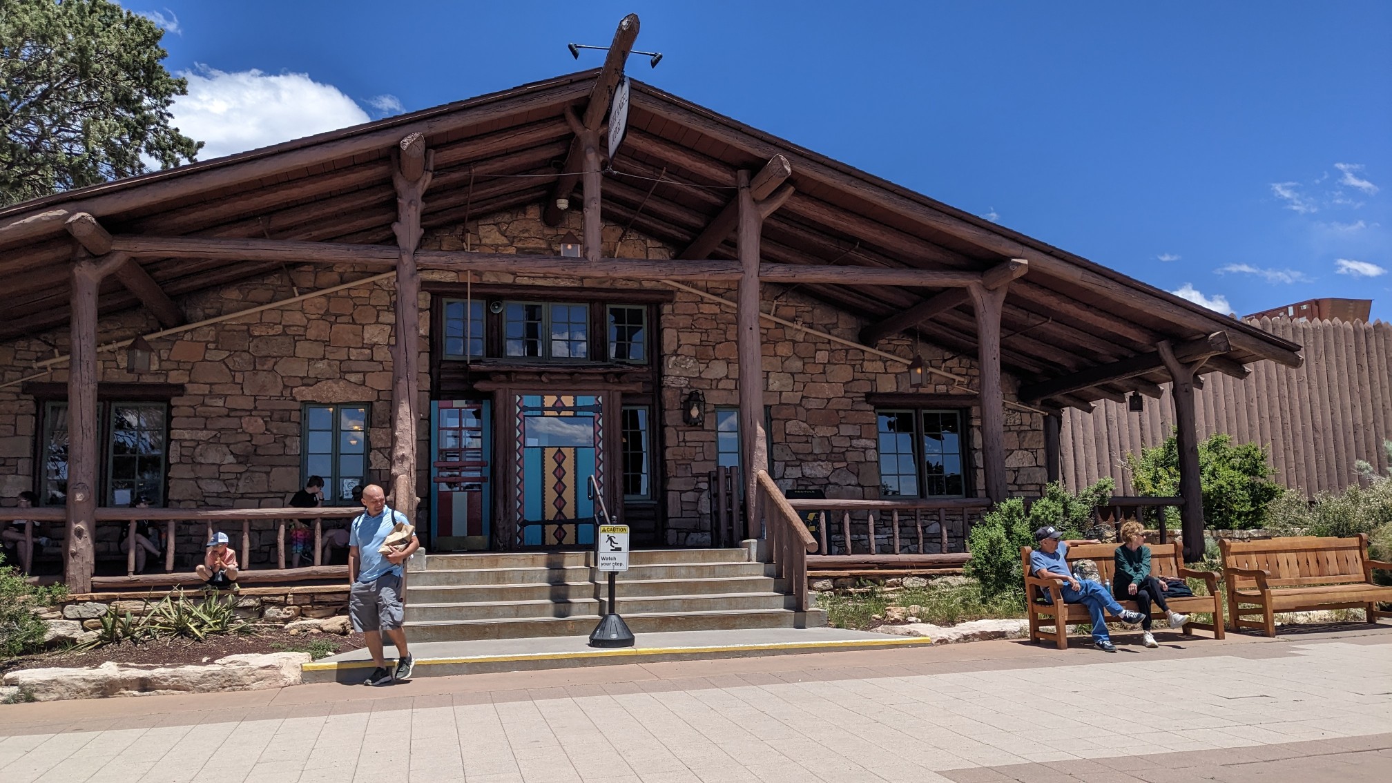
The bus dropped us off, and the first thing we did was get a breakfast burrito. Next we headed over to the backcountry office, to get our permit updated, as we are a few days ahead of schedule.
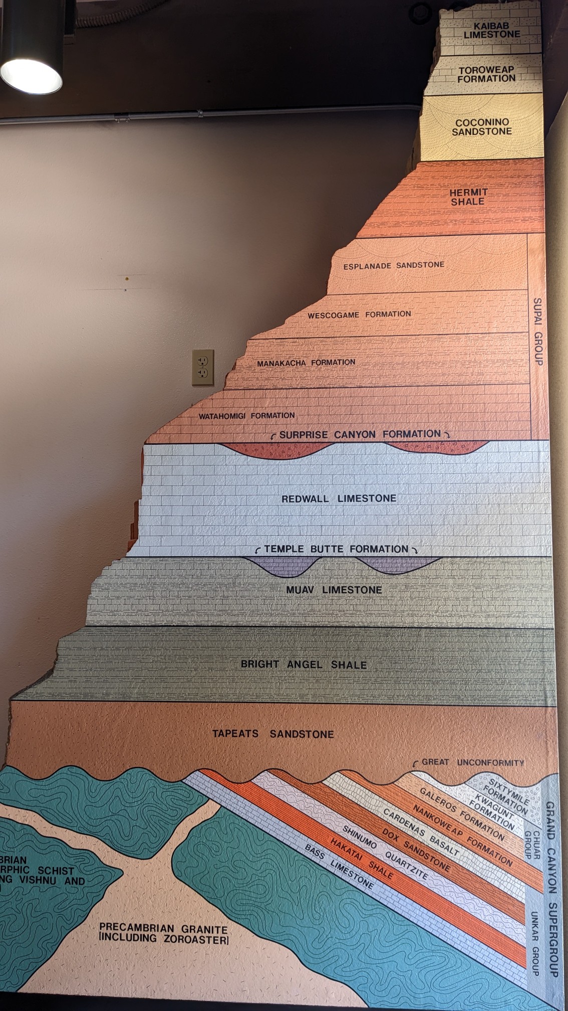
I love geology, and this cool chart showing all the layers of rock in the Grand Canyon. The mnemonic device for remembering the layers: “know the canyons history, study rocks made by time”. (Kaibab, Toroweap, Coconino, etc).
After the backcountry office, we walked over to the cafe and had a first lunch. Since Shadow has completed that Hayduke, he will be departing and going back to California. I have a seven or eight day section to get to the next town, so I went to the general store and bought a bunch of food. We set up our tents at the hiker/biker site at Mather Campground, and then hung out all day in the cafe charging our various electronics and catching up on online chores. After dinner we hung out with a fun group of three AZT hikers, and stayed up a little too late eating ice cream and joking about hiker culture.
Great day, tomorrow I will go back down into the canyon!
Beautiful! It does not appear to sustain very much wildlife? Just some lizards. Had you seen signs of any wildlife…goats, deer? Have a great continuing trip…will miss seeing Shadow!
Yeah I miss hiking with him too. I mostly see lizards, but sometimes when I’m next to water I’ll see goats or squirrels.