Saturday October 14, 35.4km/22.0mi
1mi South of Russell Tank (132.3/6970ft) to Near 500kV powerlines (154.3/6430ft) (AZ)
It was a brisk morning so we left camp a little later at 7:15. The trees were pretty tall in this part of the forest so sunlight didn’t get through to warm us.
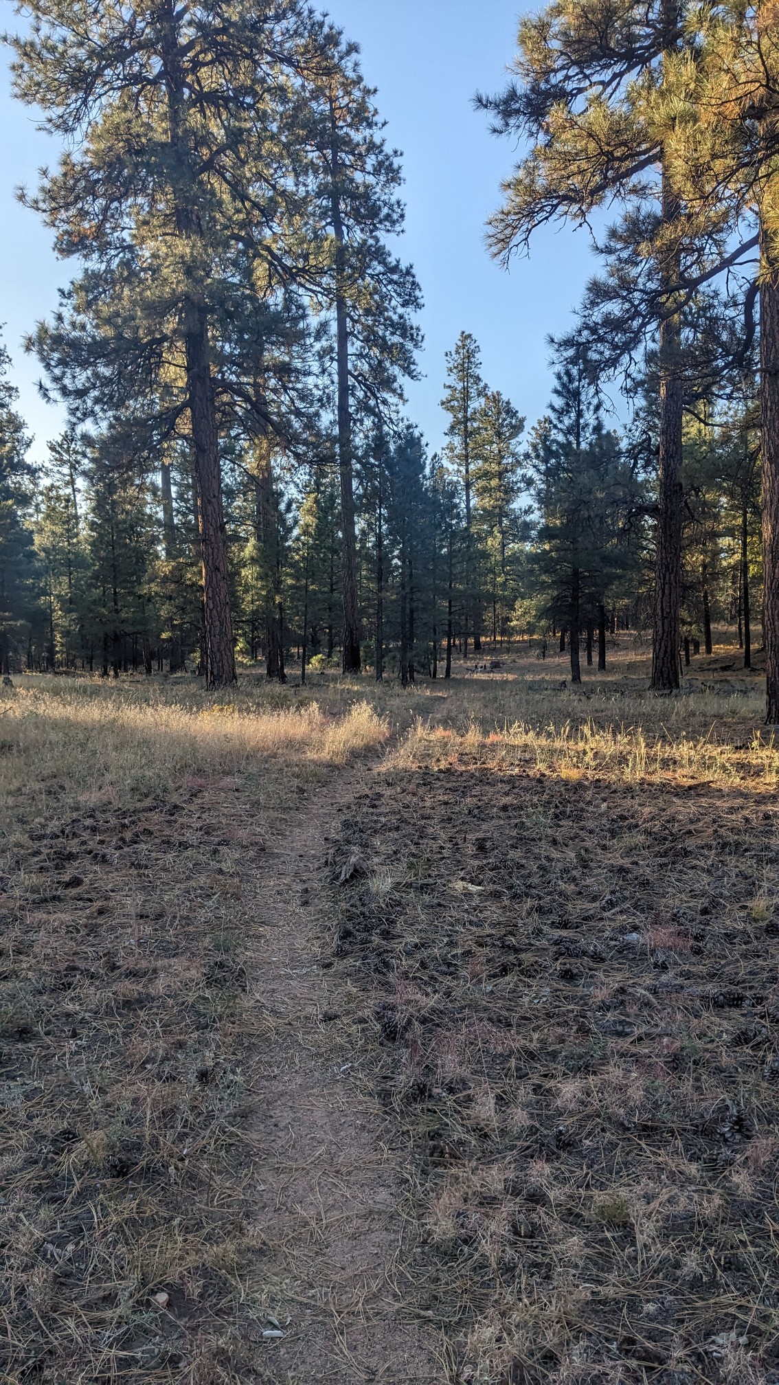
After a couple miles of walking I was getting warm, and I stopped at a metal water tank to refill my bottles.
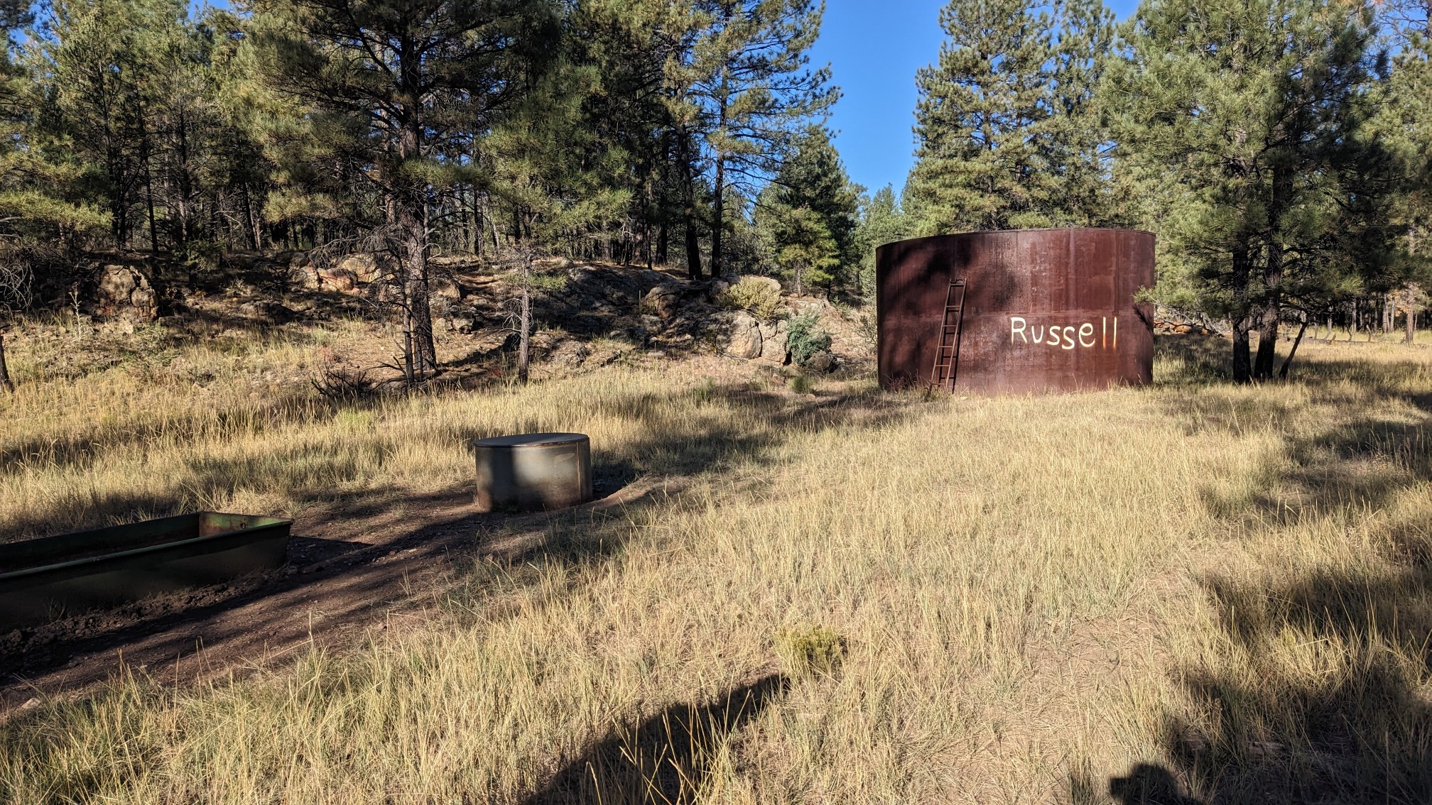
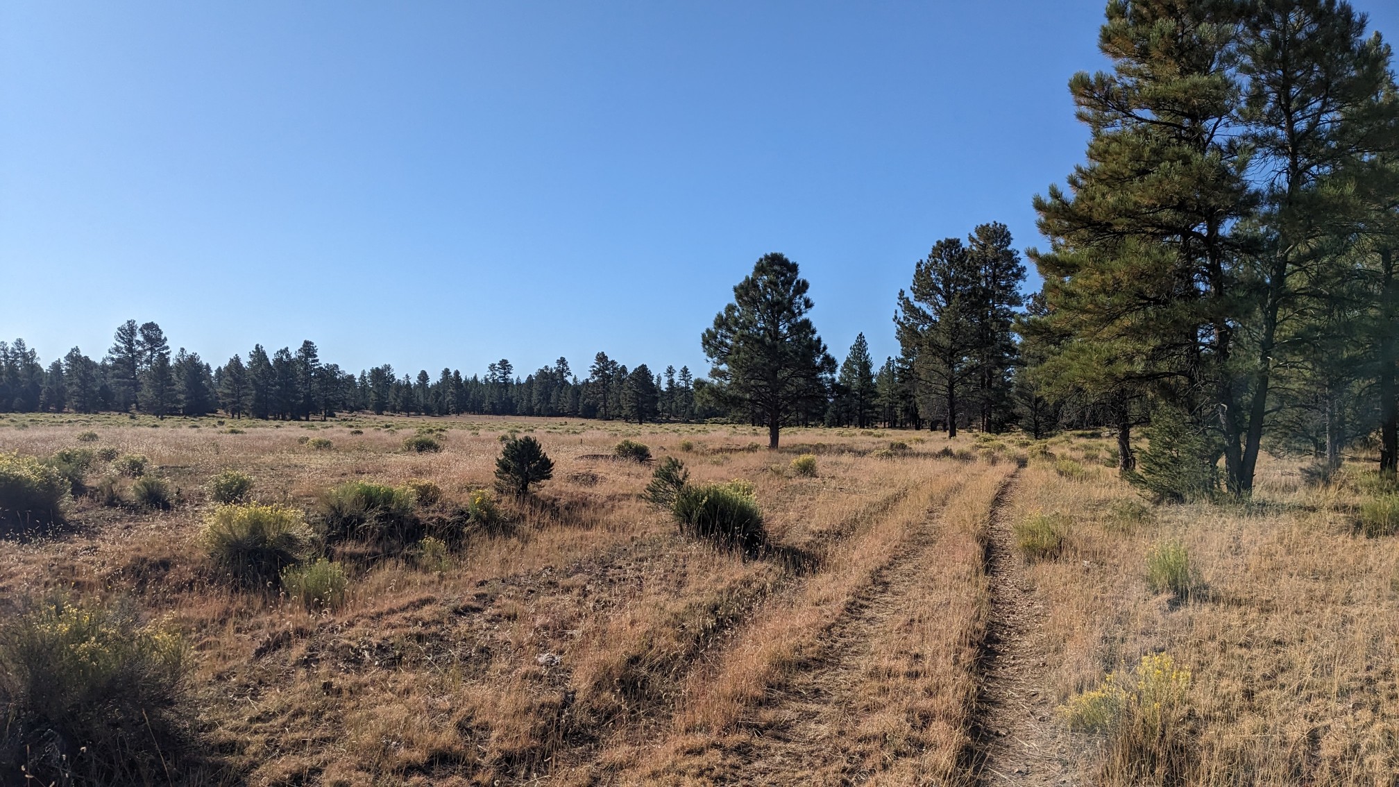
As we very gradually descended, the forest started to shift into an open meadow.
Around 9:30 local time, I kept my eyes skyward, looking for the annular solar eclipse that was supposed to happen. We were a few dozen miles too far south, so the sun was only 85% covered. While it didn’t show up too well in photos, it did become noticeably dimmer and colder for about an hour!
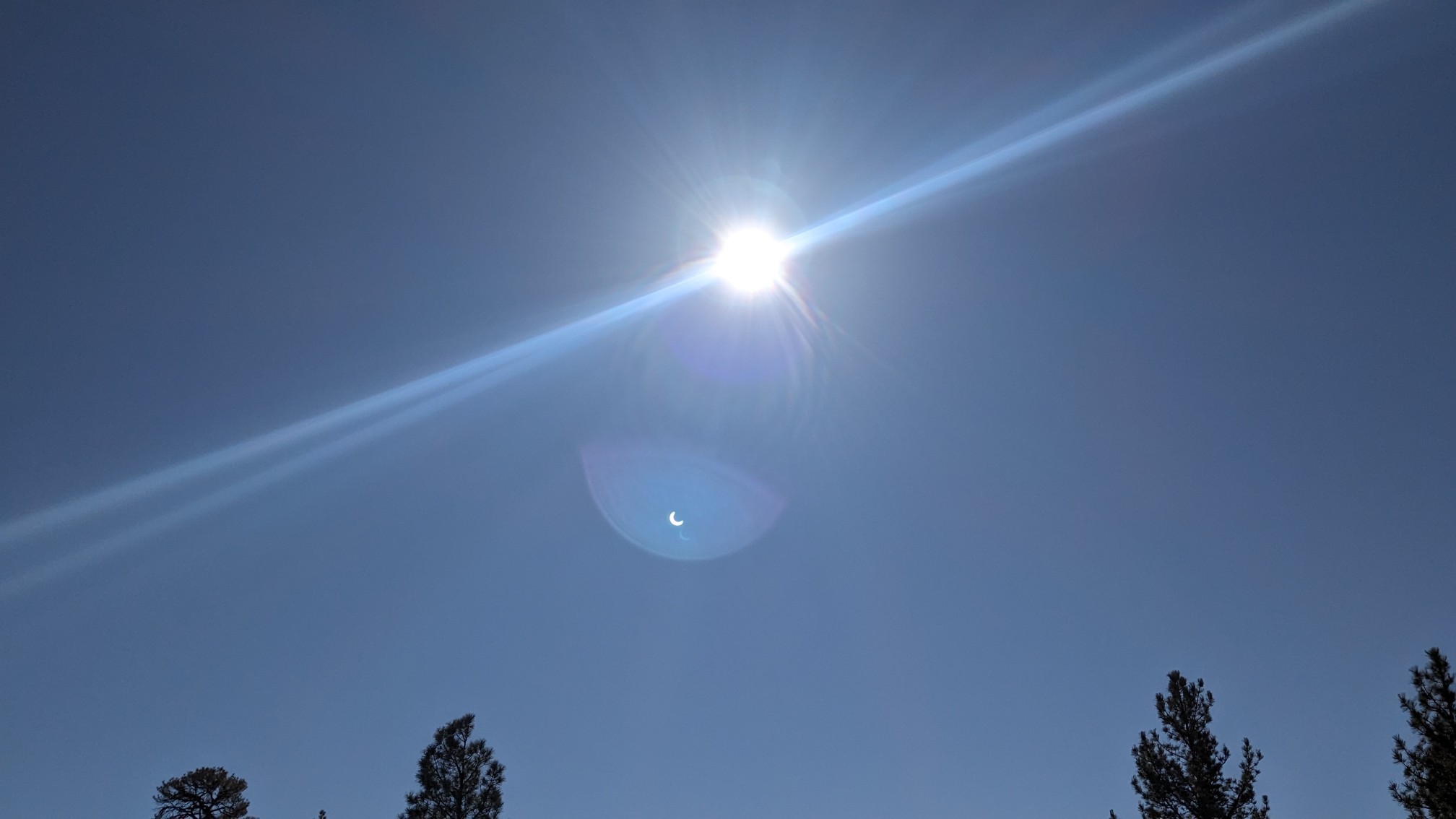
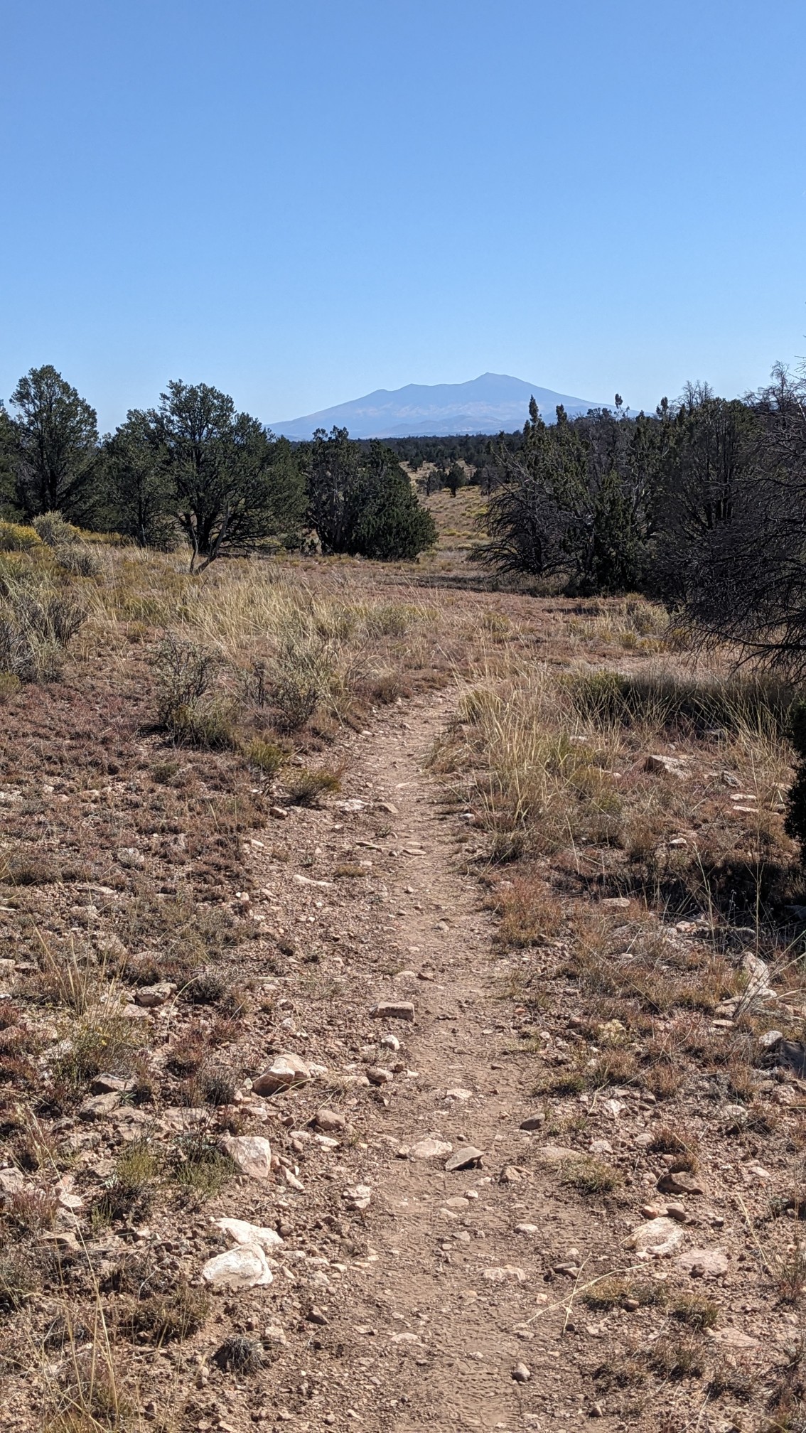
We kept walking to stay warm, it felt strange being so cold at almost 10am. In the distance I could see Humphrey’s Peak, which is the tallest point in Arizona, and which we will be hiking by in a couple of days.
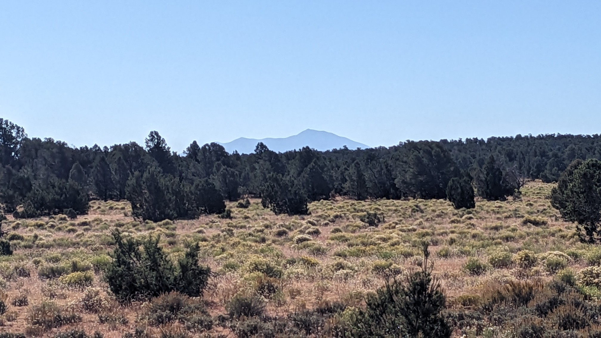
Eventually the eclipse diminished and the day warmed up again, and the sun was very bright and hot.
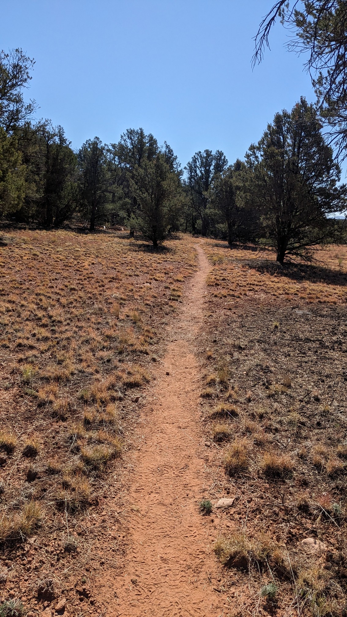
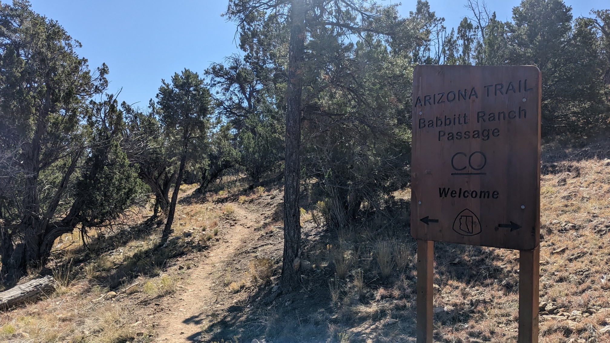
At lunch time we came to the edge of the Kaibab national forest, and entered a ranch.
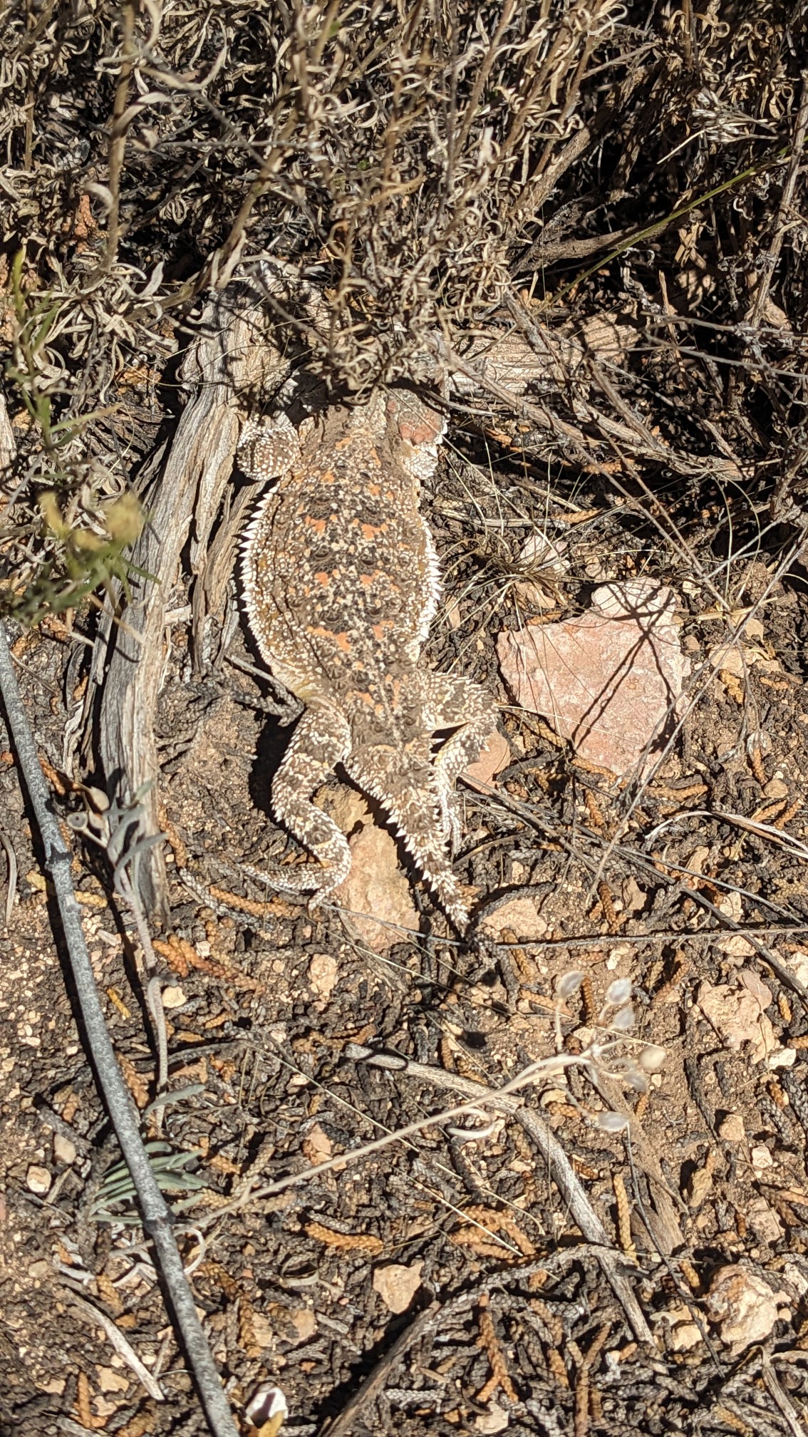
While I was eating my wrap, this cool little lizard was watching us from across the trail.
After lunch we had an easy afternoon of flat walking through the scrublands. And Humphrey’s Peak was getting closer!
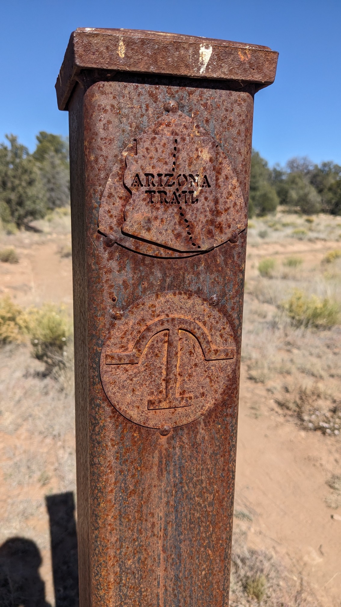
Whenever the trail crossed a little dirt road, the ranch had installed these fancy metal markers to guide the way.
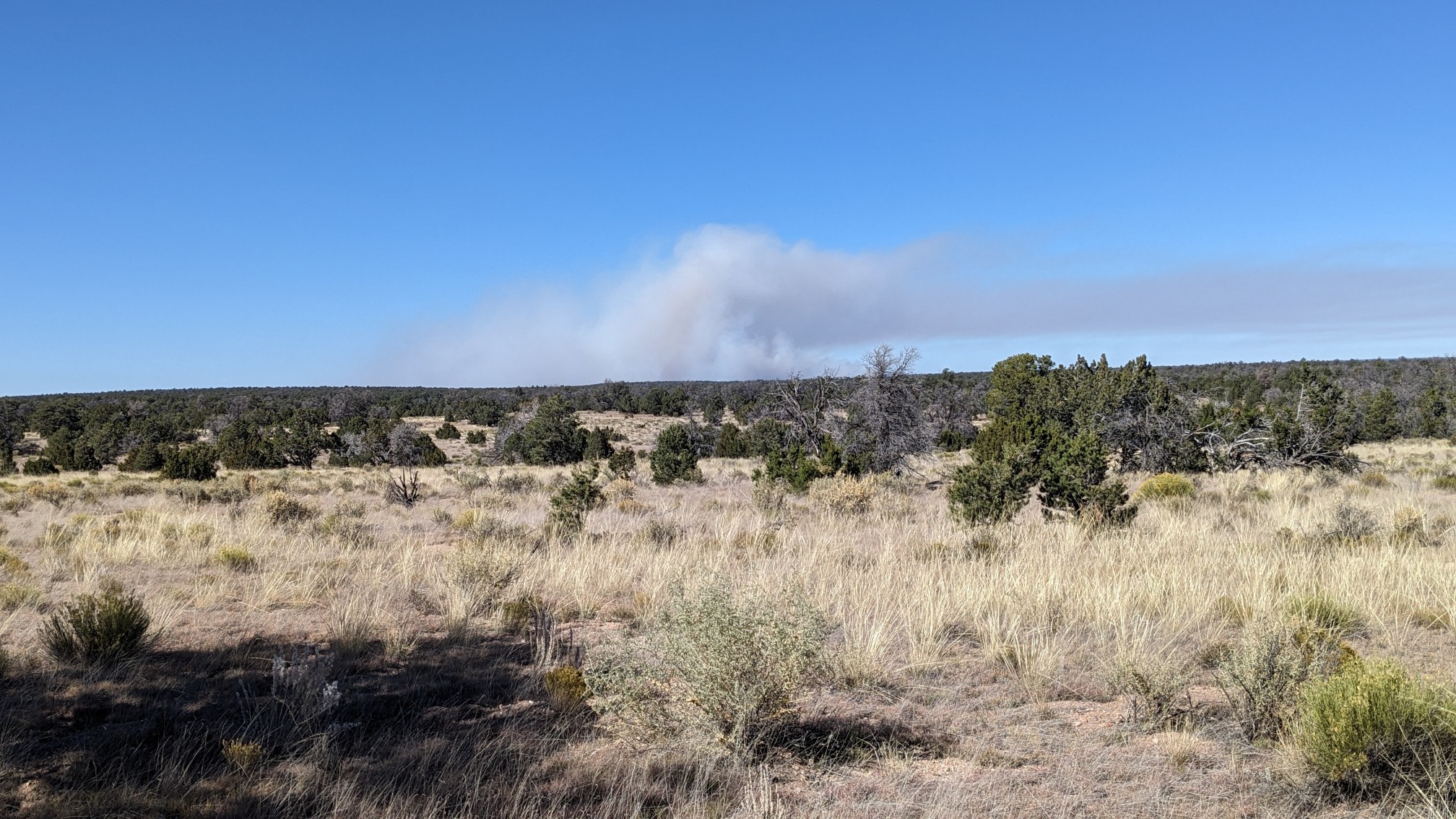
We started seeing a bunch of smoke to the north, in an area we had hiked through the day before. I was hoping this was the result of a prescribed burn, and not a wildfire.
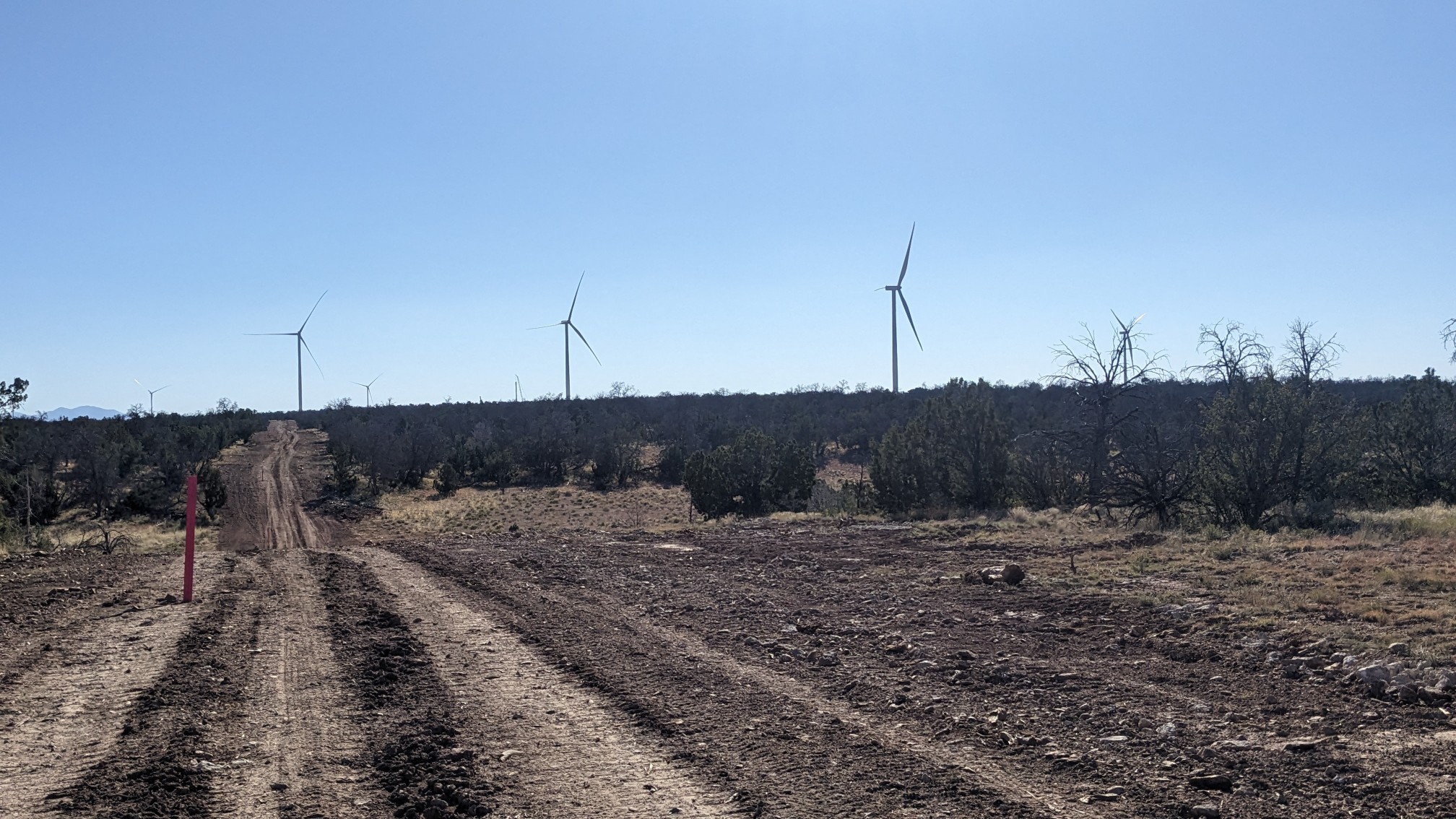
As we hiked further south into the ranch lands, we saw more and more of the wind turbines.
Towards the end of the afternoon we passed by our final water source for the day. Instead of taking the access road to get there, we just walked cross-country in a direct line. We have started calling this “route mode” as opposed to “trail mode”.
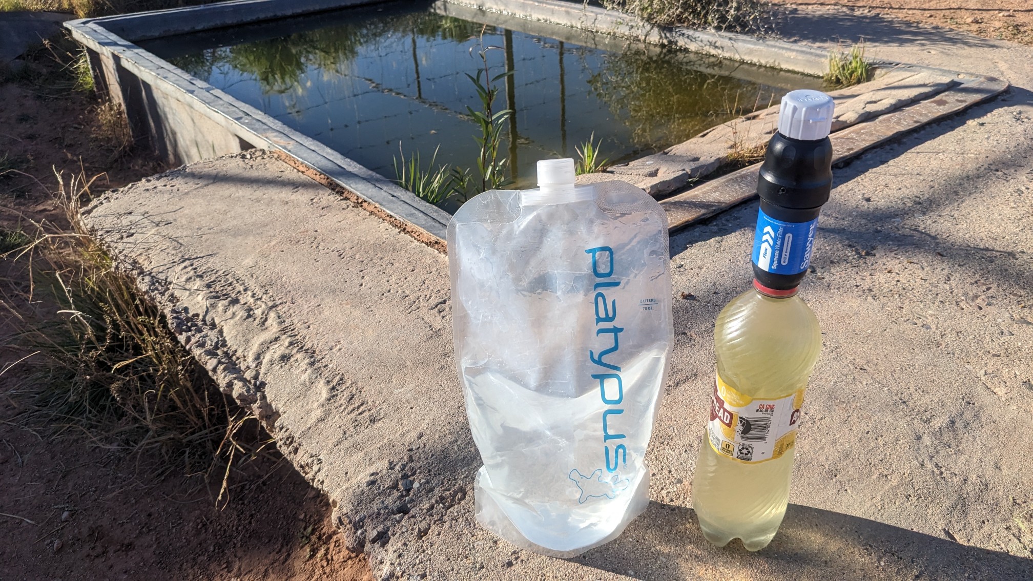
The water was a little green (right bottle), but after it was filtered it turned out pretty clear. We met a couple other hikers at the water source, a woman from New Mexico named Tweaky, and a guy from Arizona named Lizard. We hiked a few more miles, watching Humphrey’s Peak get ever closer.
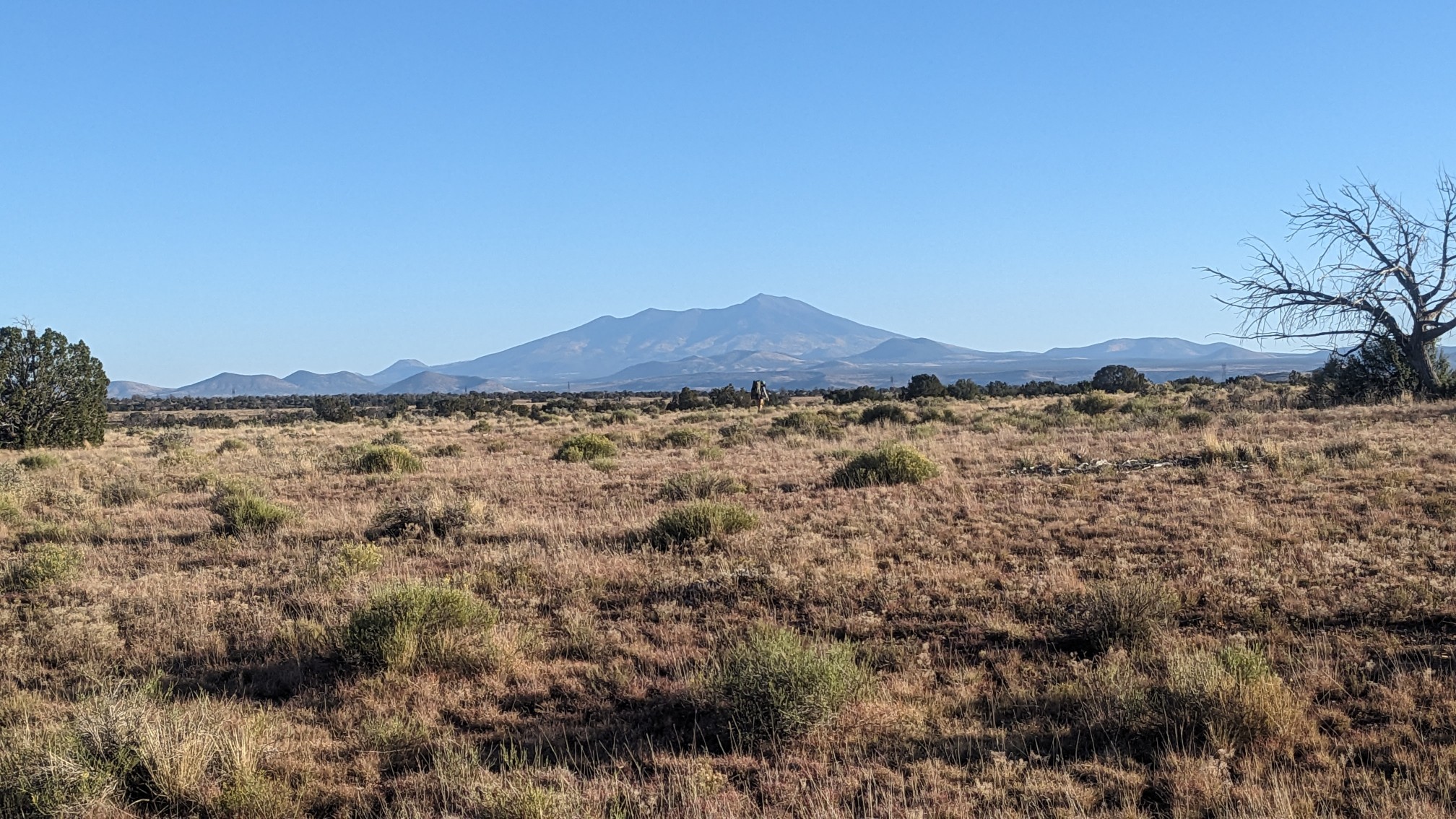
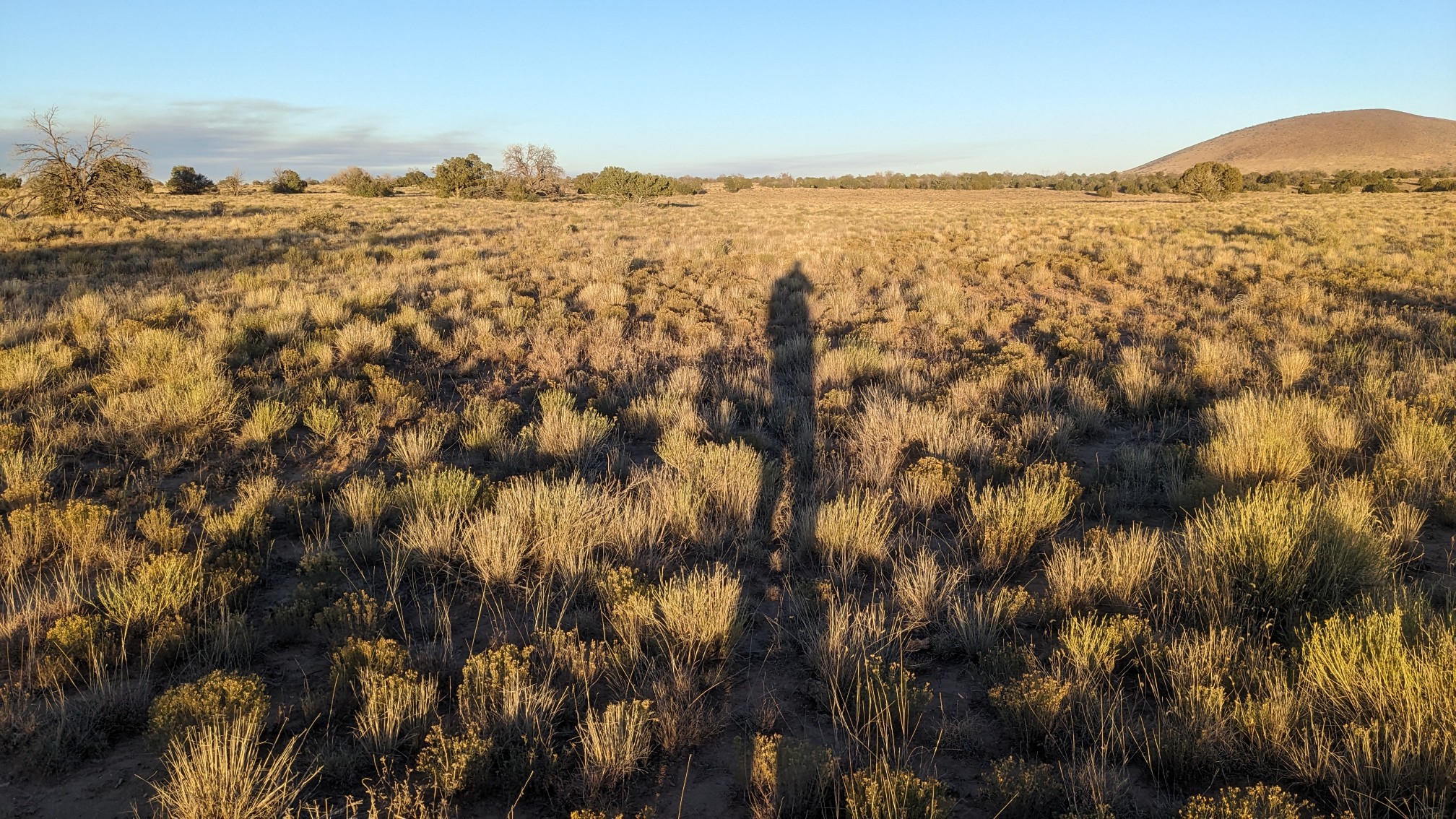
By now most of the trees and bushes had disappeared and so the views were pretty endless.
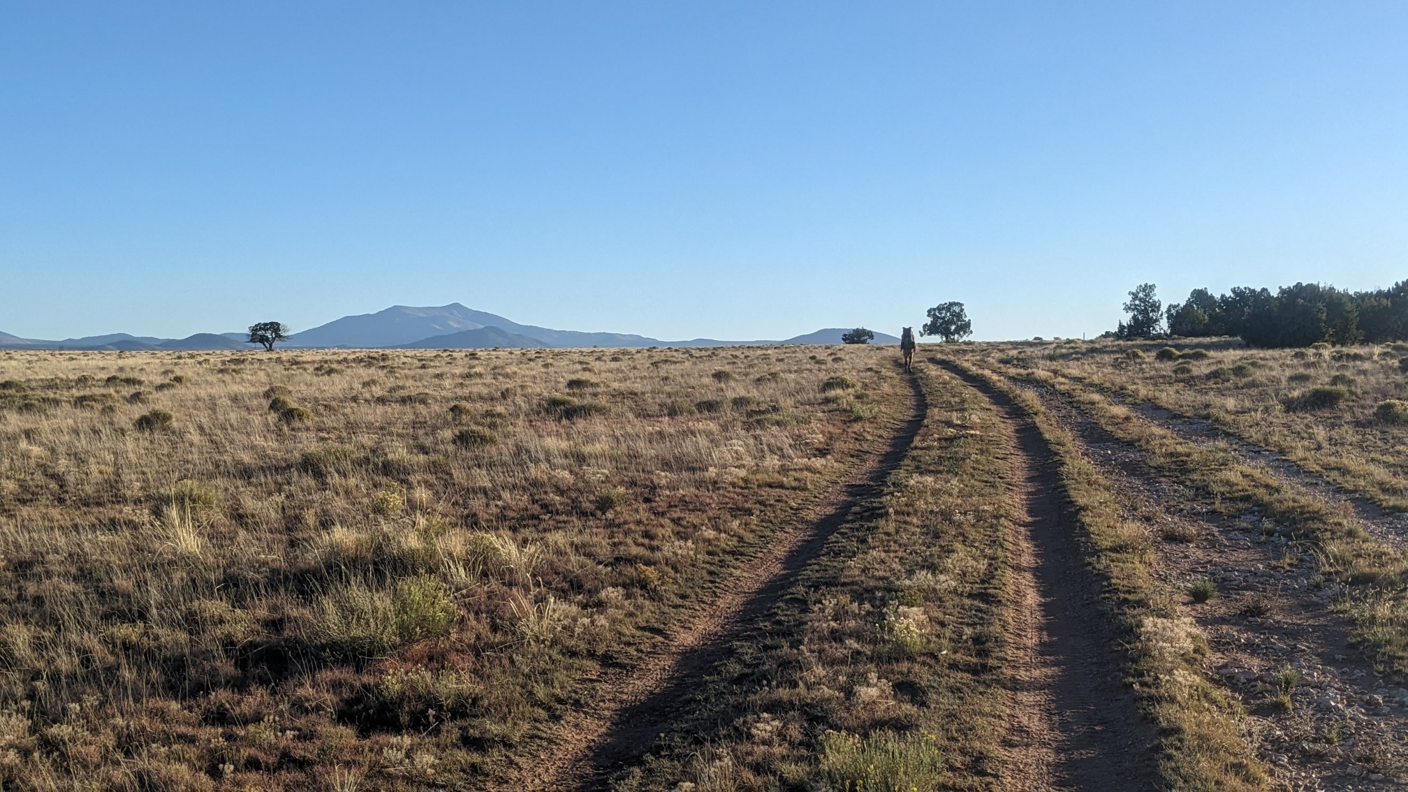
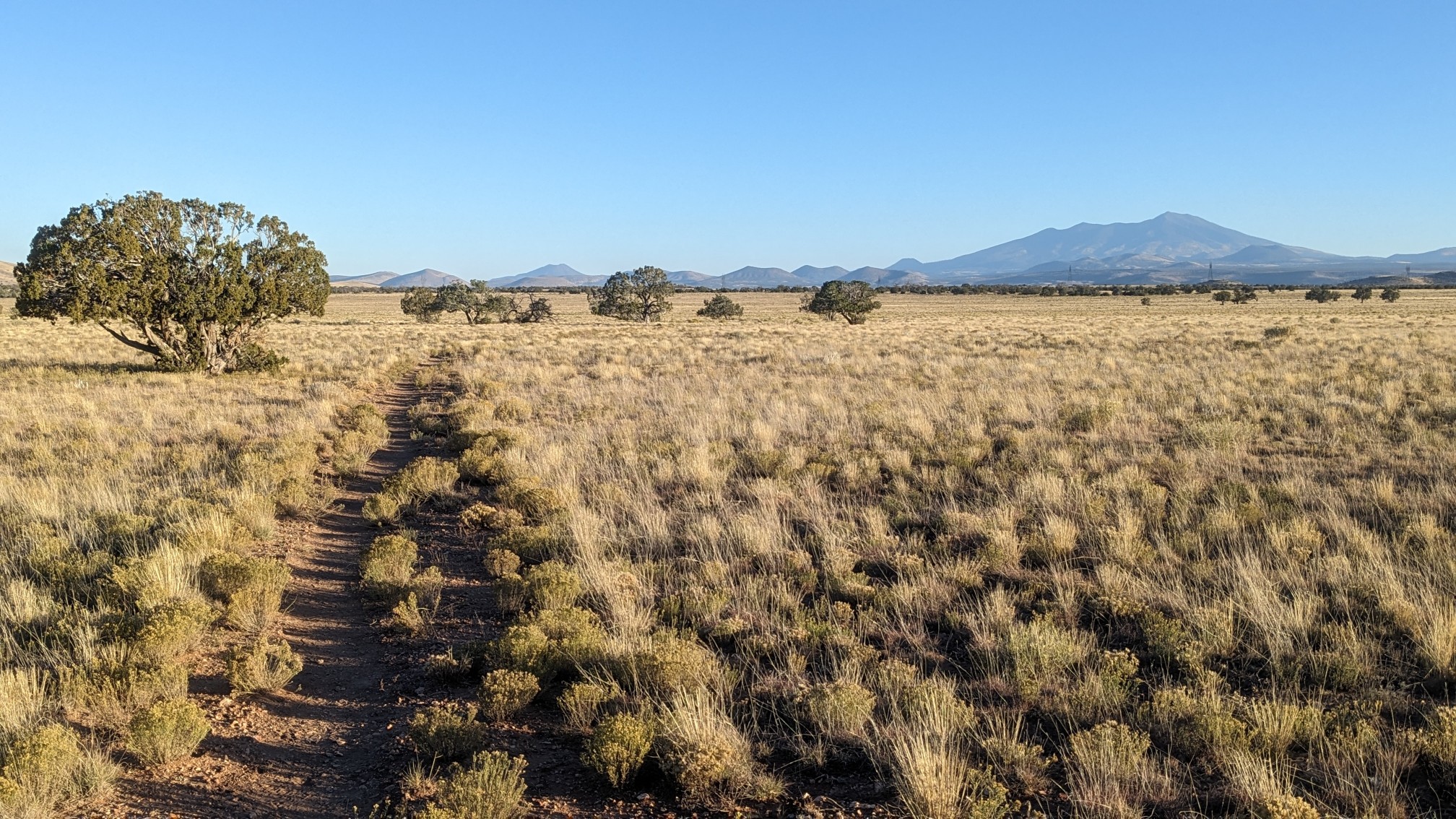
My shadow started to get pretty long, it was time to start looking for a campsite.
A mile later, after we had passed under some high voltage power lines, we found some flat spots away from the buzzing electricity.
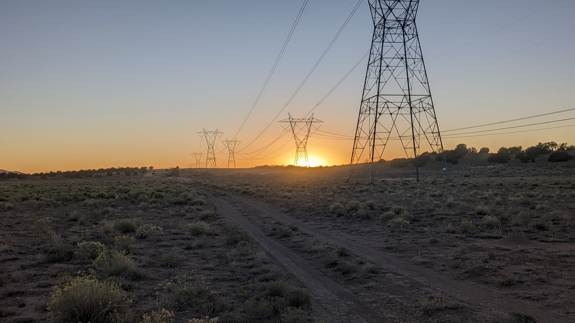
So far the Arizona Trail seems to be a fairly easy and flat trail with endless views.
‘Cool’ that you were able to feel the effects of the solar eclipse ☀️👍