Wednesday October 25, 36.2km/22.5mi
Brush Spring (364.1/5190ft) to Unnamed Saddle (386.6/6950ft) (AZ)
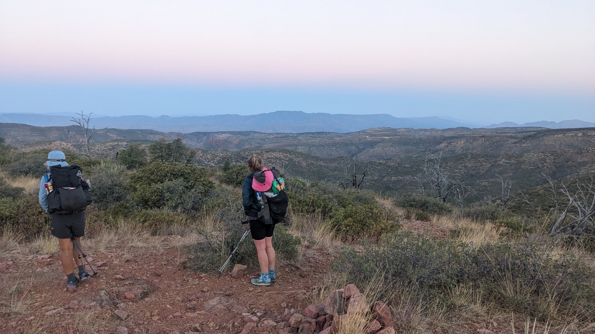
We left camp at 6am and immediately had a long climb up to a ridge. Since the pre-dawn temperatures were cool, it was a nice way to warm up. And the view from the top wasn’t bad either.
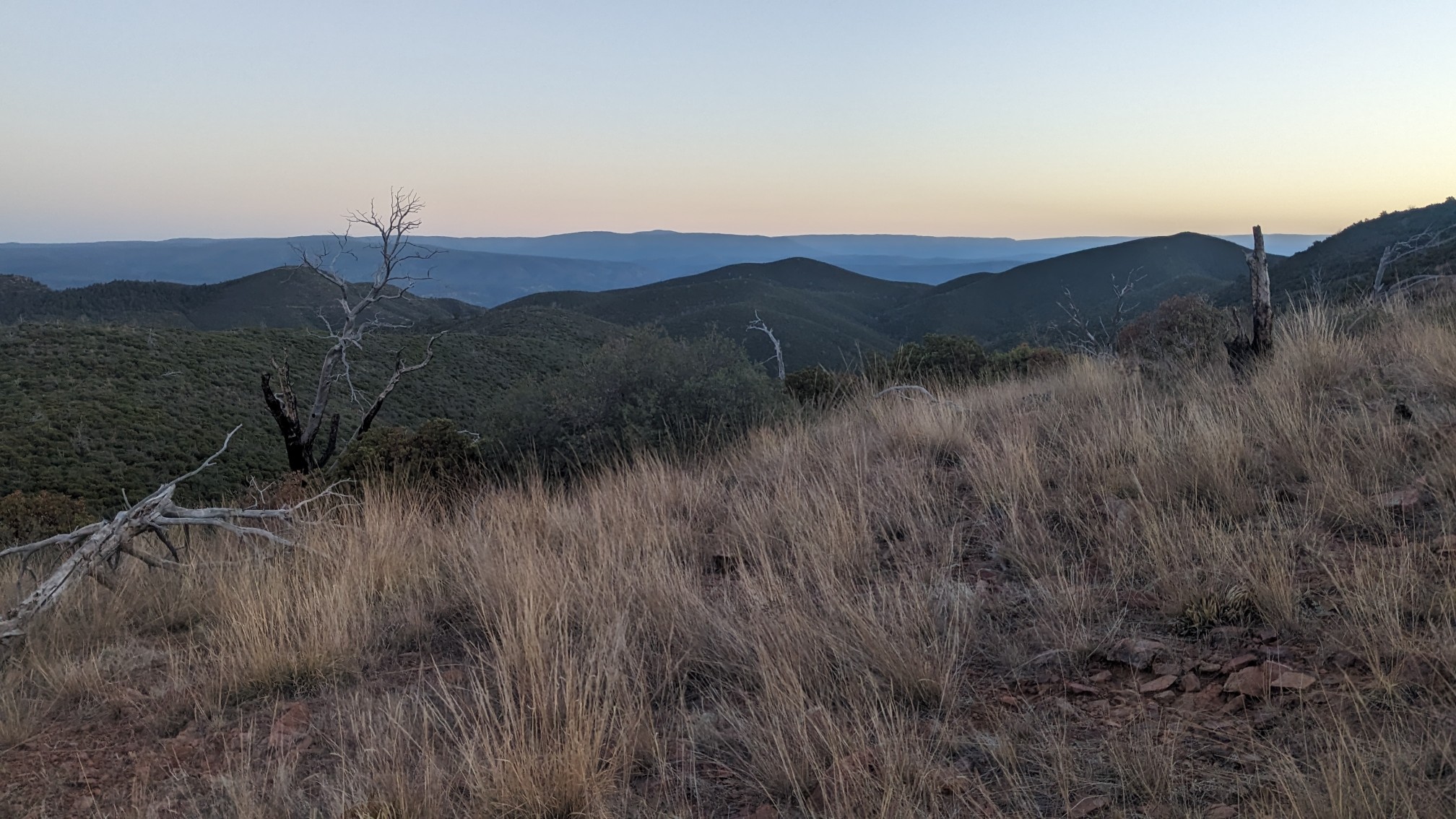
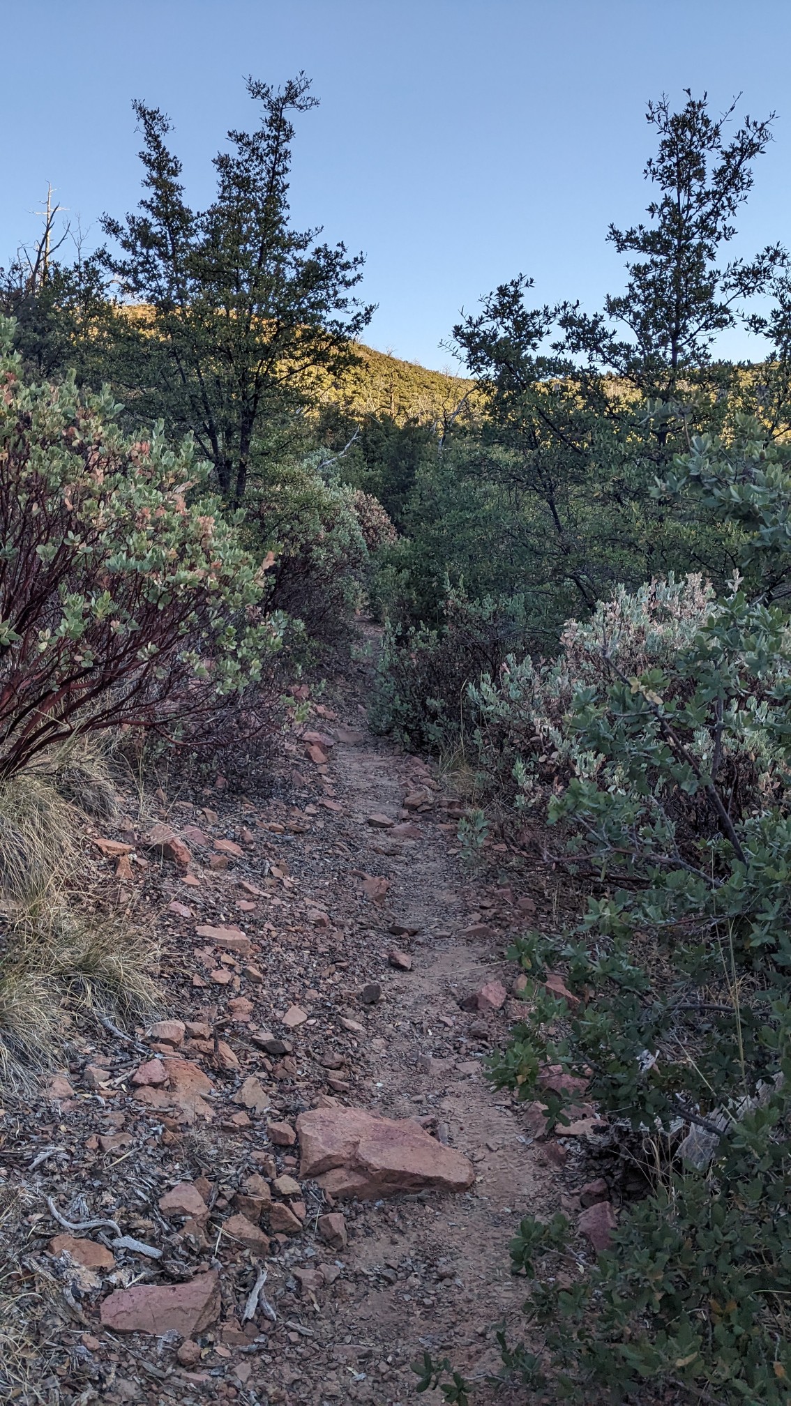
The trail was a little more brushy today, with scrub oak and cats claw growing everywhere.
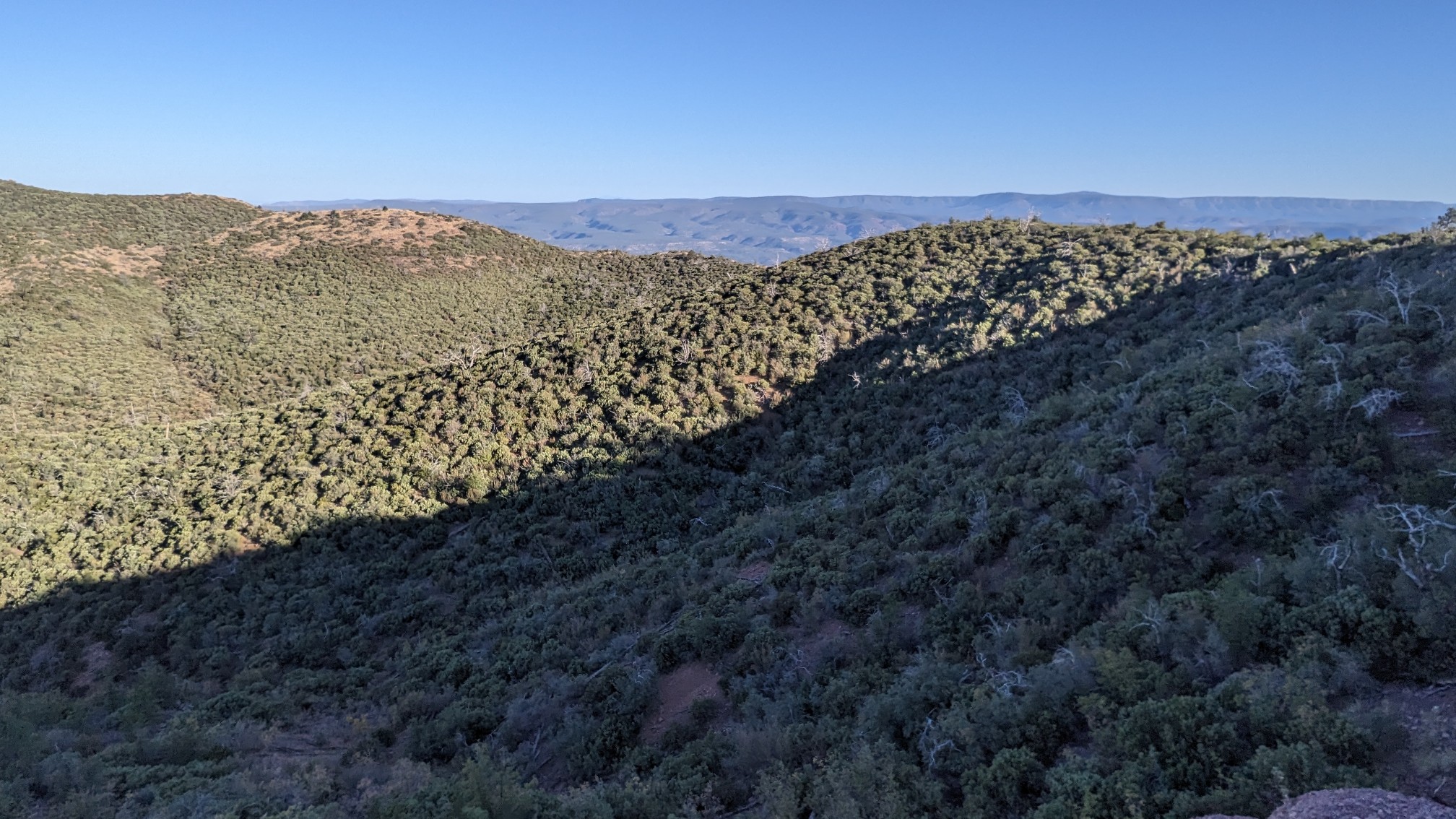
We traversed another ridge, and I saw a rocky outcropping that was in the sun, so I decided to take a break there. I had an almost 360 view too.
TopShelf and Beer Goddess caught up, and we all went up another climb. This one was on a newer section of trail, so it was less brushy.
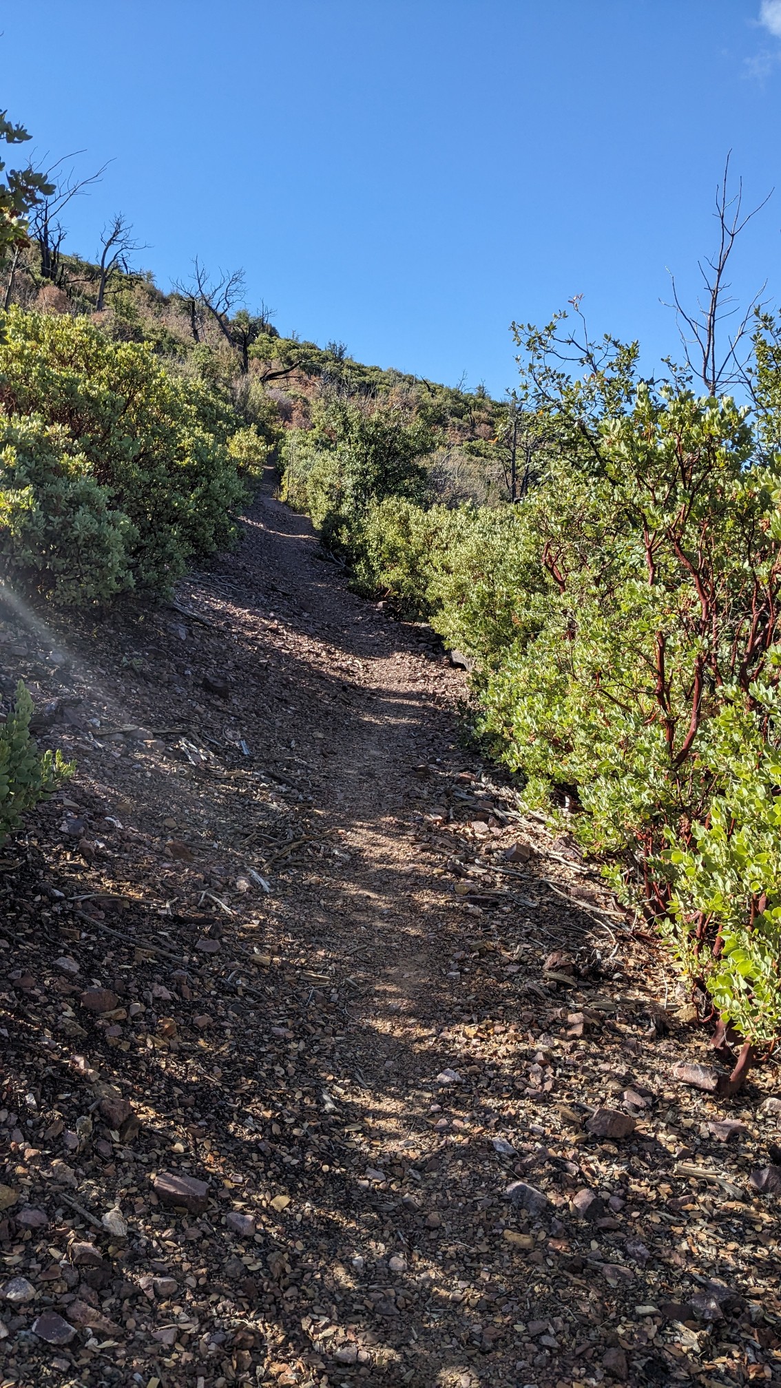
And then of course we went right back downhill again. The views were great today, but you really had to work for them.
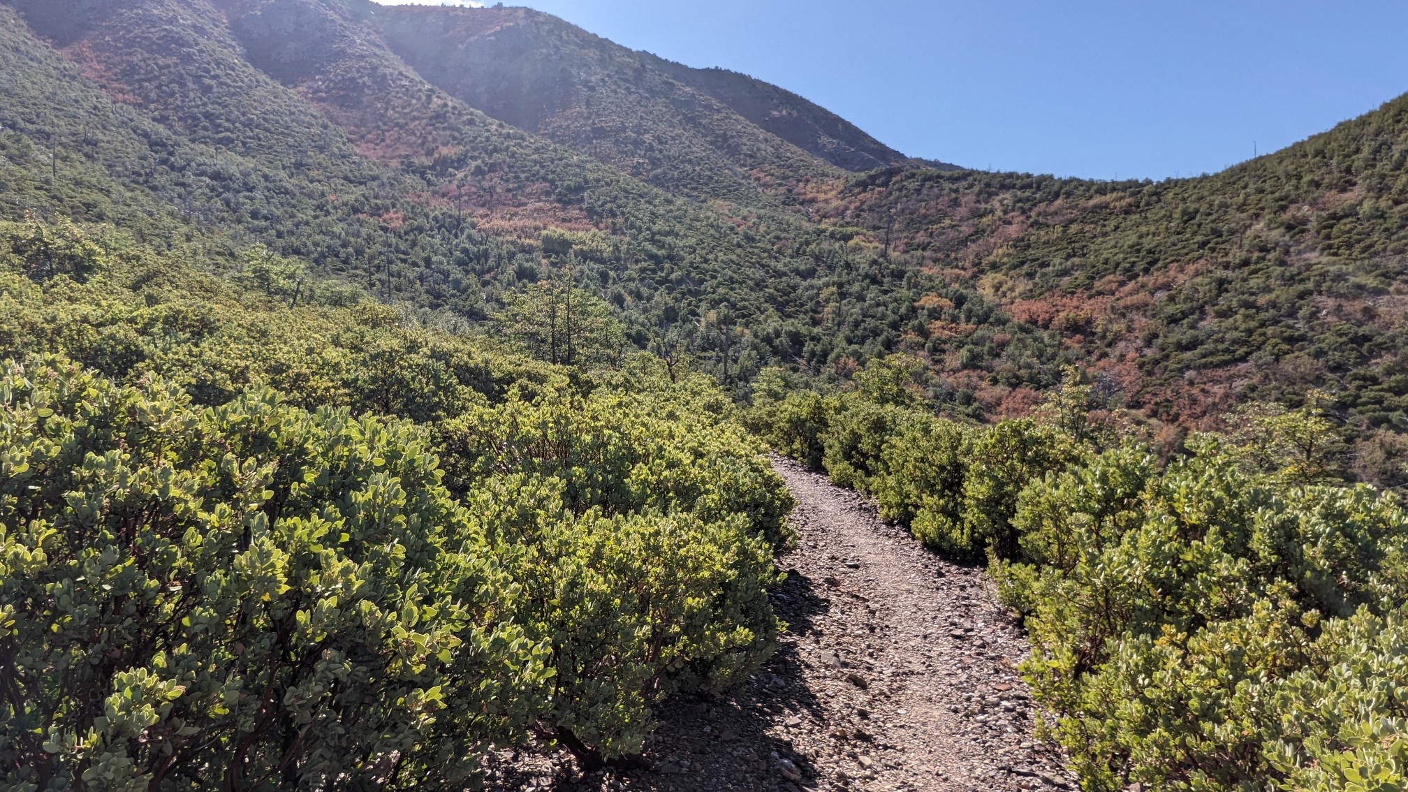
Then for over an hour, we traversed a hillside, while slowly climbing. It reminded me of the southern PCT, since I could see the trail for miles in either direction.
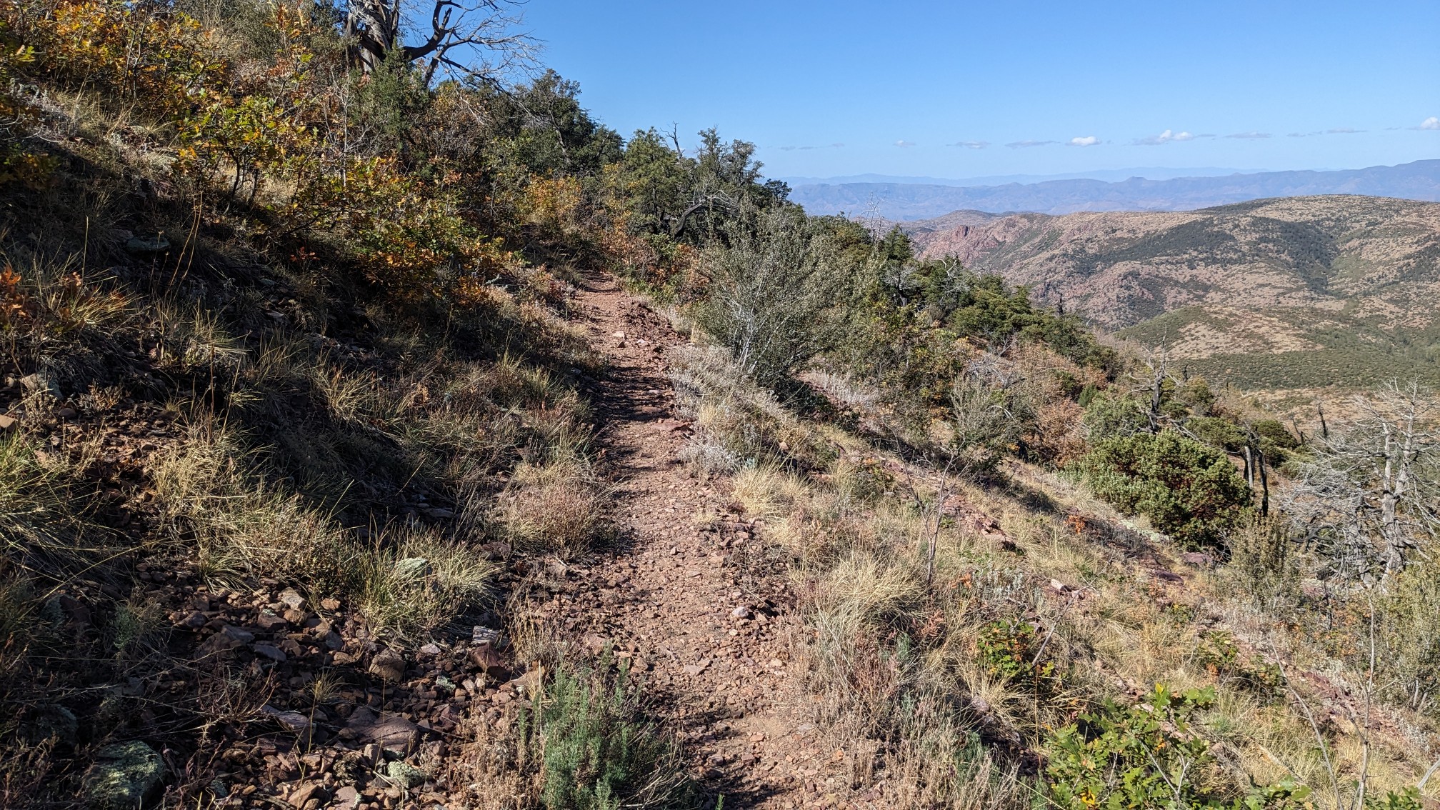
I noticed that at these lower elevations, the yucca plants grow everywhere.
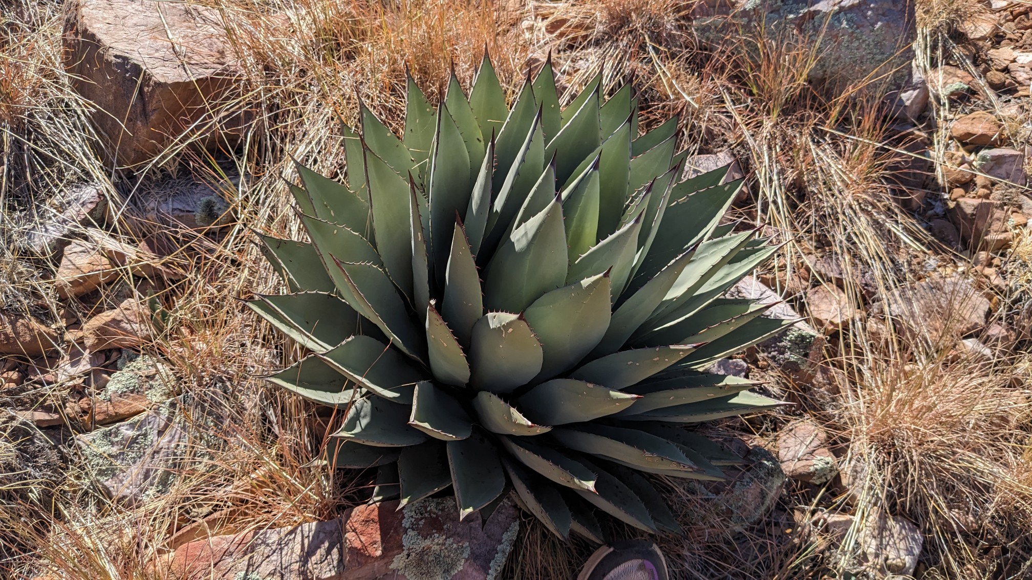
Some of them grow a little too close to the trail, which keeps me alert since they have pointy ends. At the top of that long gradual climb, there was the best view of the day. Looking Southwest:
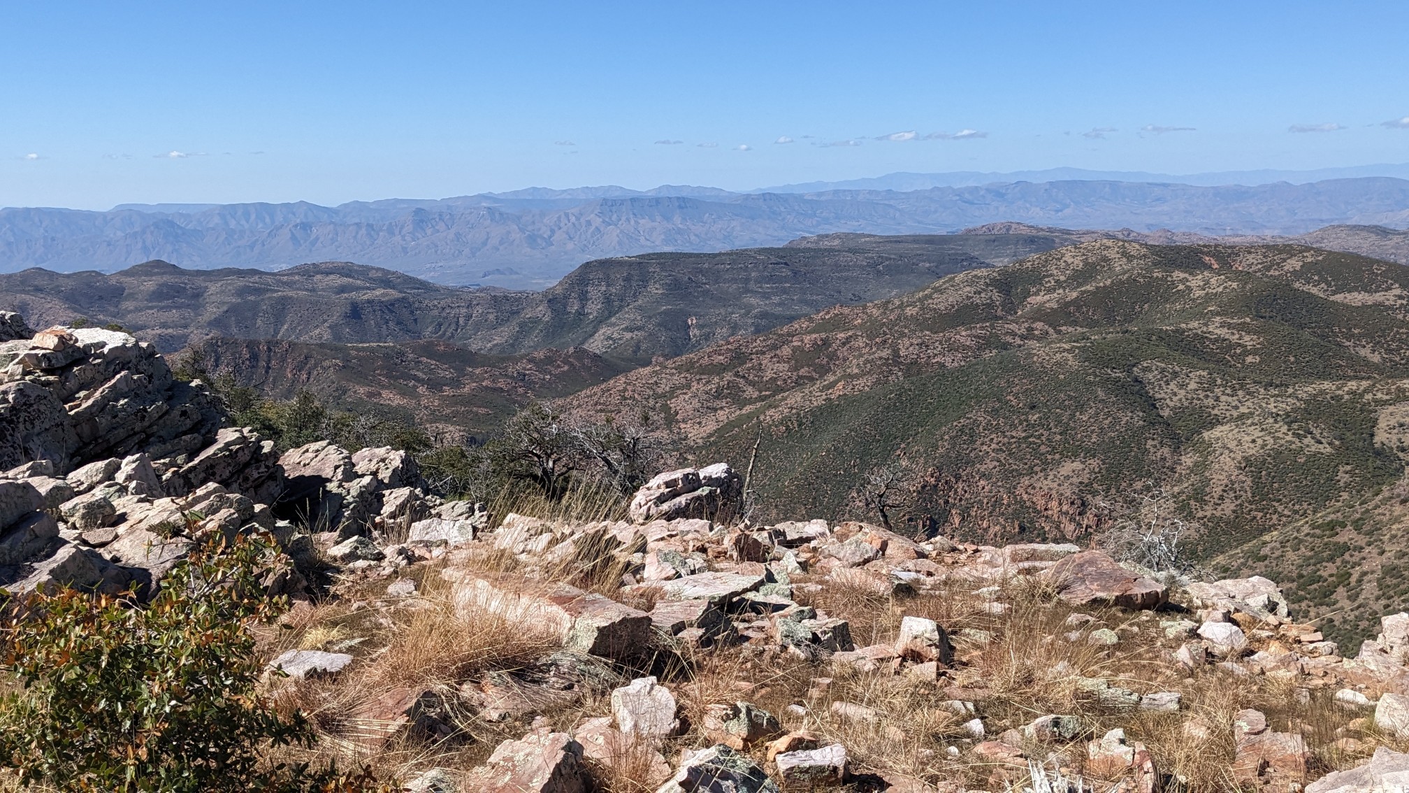
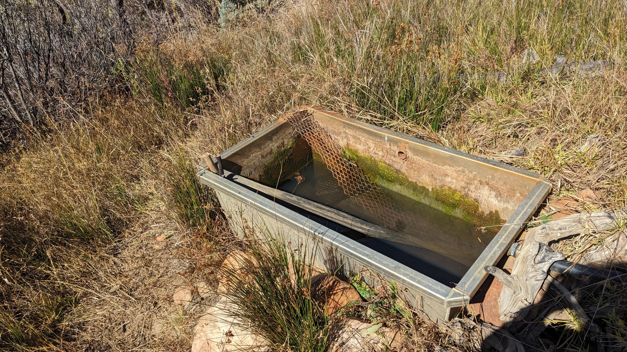
To the north, I could see Humphrey’s peak, which we had passed by over a week ago…but I forgot to get a photo of that one. I continued on another mile to a spring, where we all met up for lunch. The water was clear and cold, but tasted like an old iron pipe.
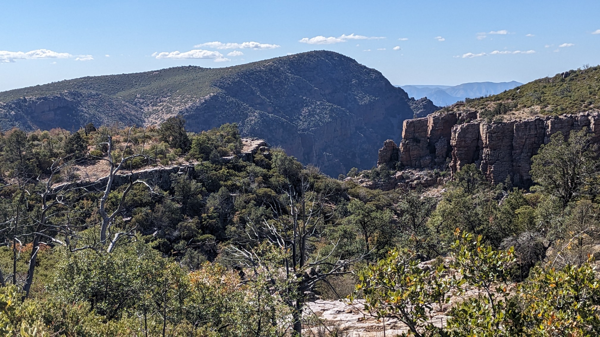
After lunch, the afternoon brought a whole new set of views, as the terrain was becoming more cliff-y.
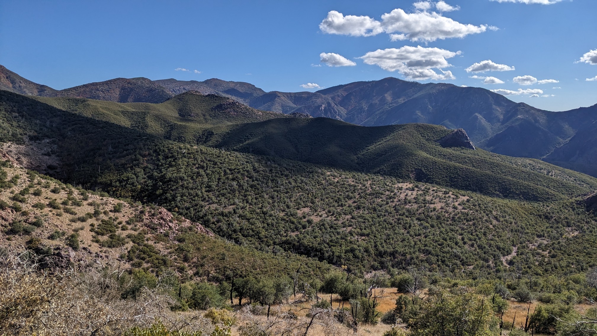
And the clouds casting shadows over the landscape was interesting to see.
After stopping at another spring, we continued up yet another climb. This one was in the hot sun, but fortunately there was a nice breeze to help keep things cool.
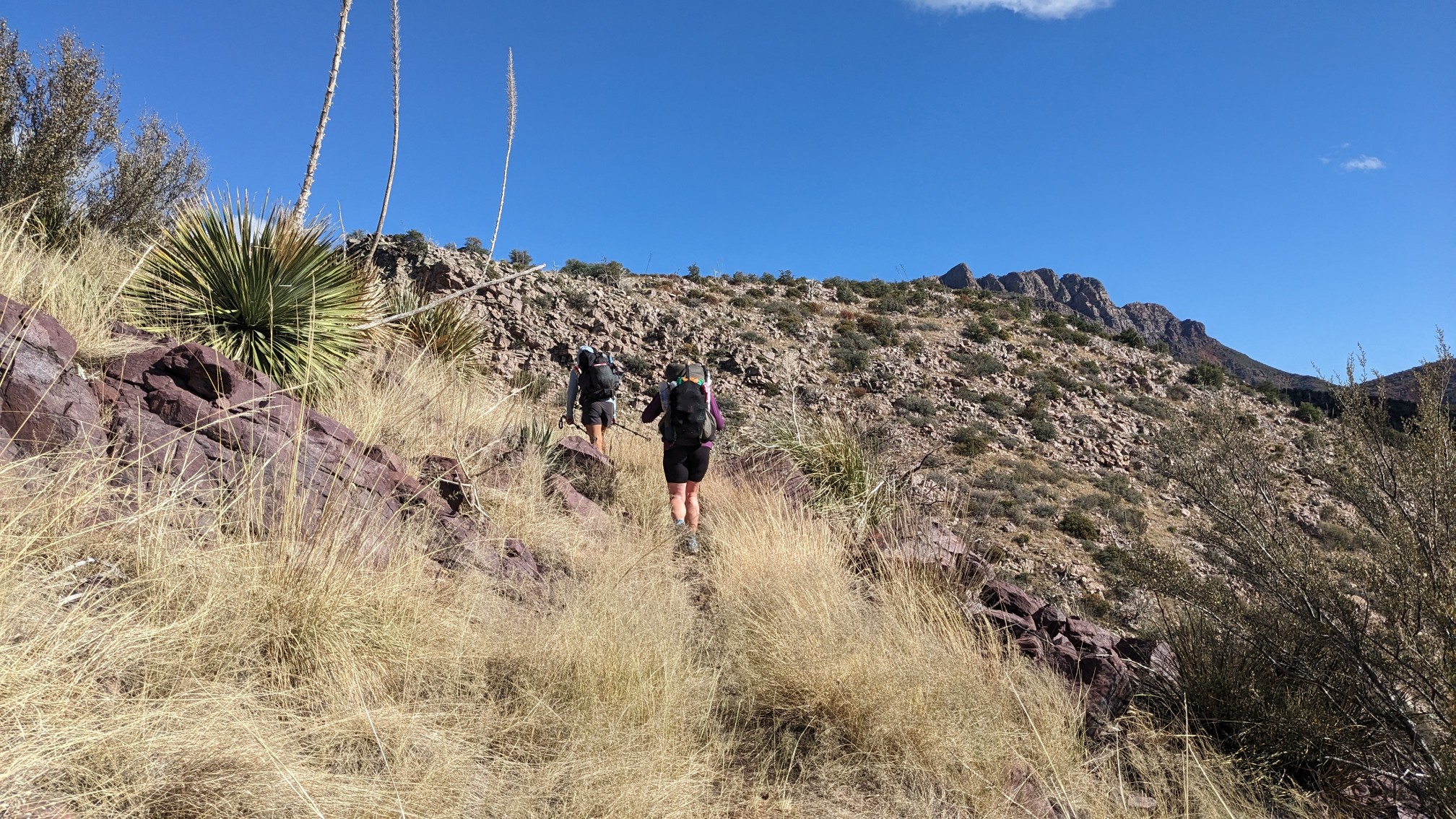
We made steady progress up the climb, stopping to take plenty of photos along the way.
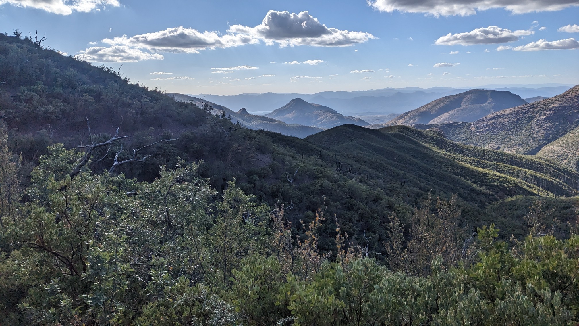
We passed under Mazatzal Peak, the highest mountain in this area.
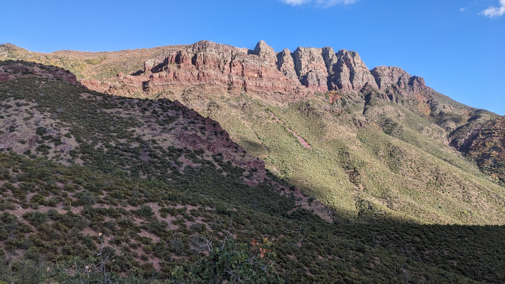
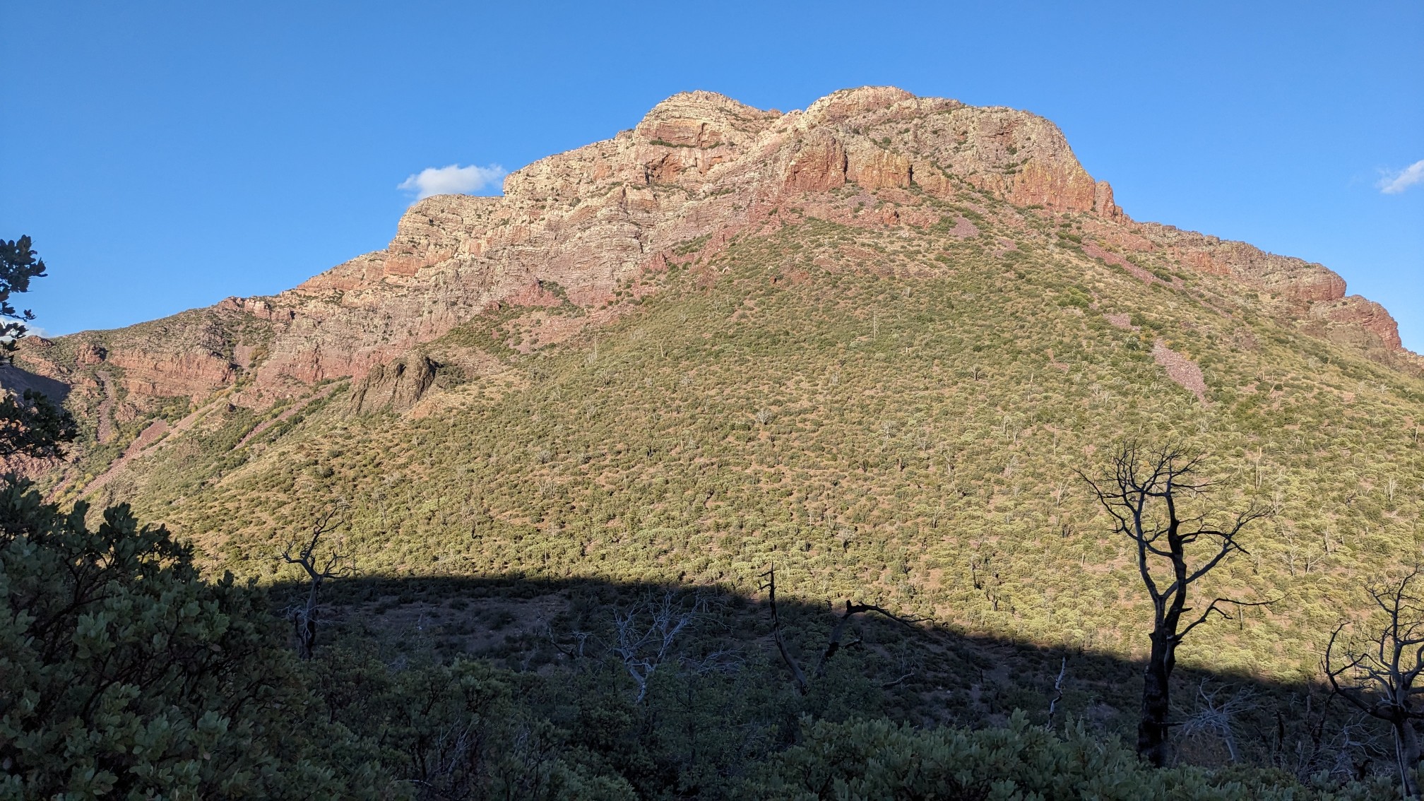
It was pretty cool to see it from a few different sides. It looked steep!
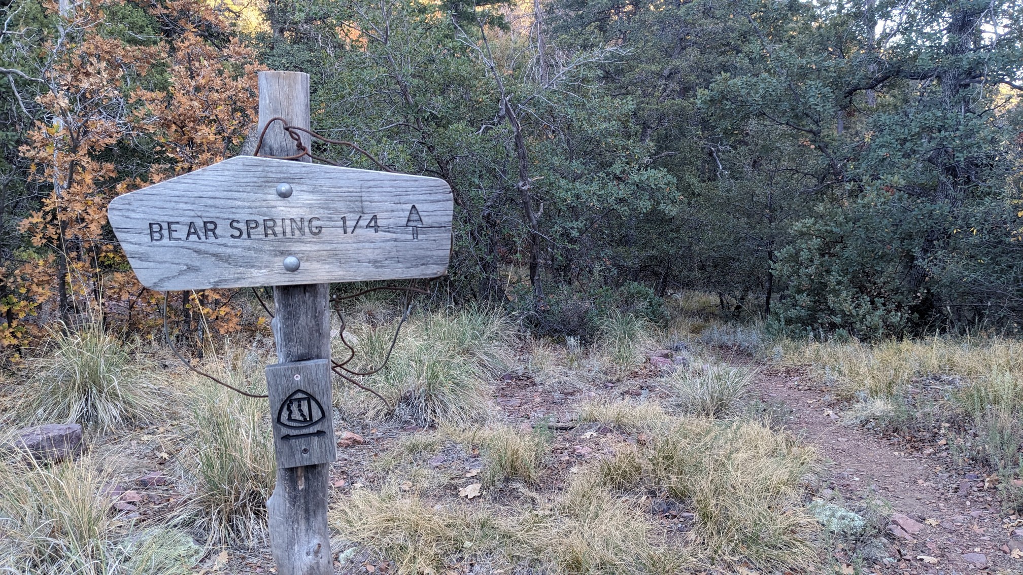
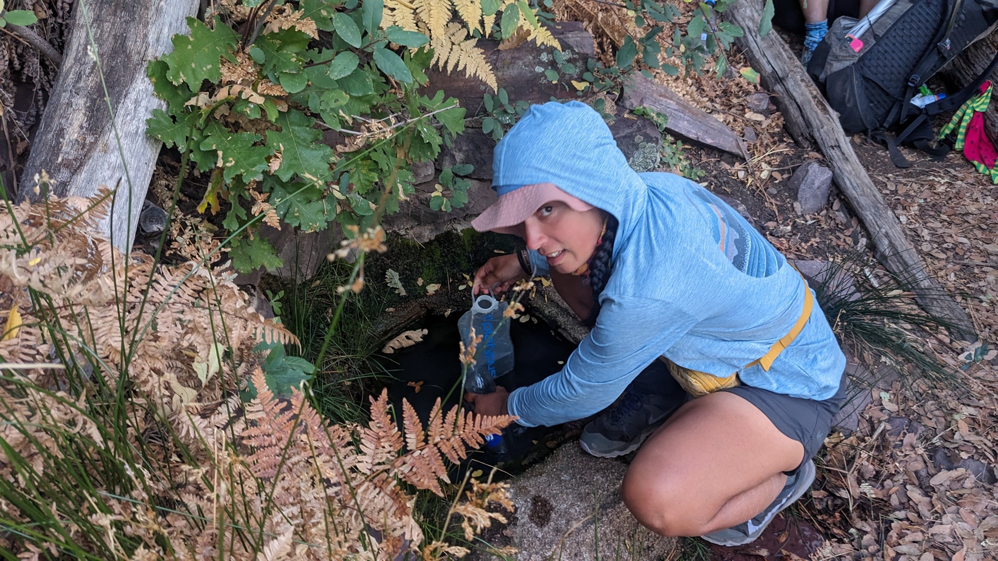
Late in the afternoon we arrived at Bear Spring, where we stopped to get water. It was very nice clear water, but unfortunately it was a quarter-mile off trail. I dropped my pack and jogged the side trail, so it went faster.
TopShelf getting water from the cute little spring.
After we returned to the main trail, we still had over two miles of hiking to get to camp, and only 30 minutes of daylight. We finished the last 15 minutes of the day hiking with headlamps. We camped in a very mediocre site, at a windy saddle. It’s probably my least favorite spot so far, but it works.
Wow, what wonderful views!